29th August 2009 - Ward's Stone
Walk Details
Distance walked: 11.7 miles
Total ascent: 1984 ft
OS map used: OL41 - Forest of Bowland & Ribblesdale
Time taken: 6 hrs
Route description: Little Cragg-Skelhow Barn-Clougha Pike-Grit Fell-Ward's Stone-High Stephen's Head-Ragill Beck-Littledale Hall-Field Head-Bellhill Farm-Skelhow Barn-Little Cragg
I started this walk from the Little Cragg parking area on Littledale Road in the north-west corner of the Forest of Bowland. This was my first visit to this area of Bowland and one I'll have to repeat. The iffy weather made it difficult to appreciate the views I could have had from the summit of Ward's Stone. From the parking area I made my way to Skelhow Barn which is marked on the OS map, and then upto the summit of Clougha Pike. After visiting Clougha Pike I walked across to the summits of Grit Fell and Ward's Stone. The next bit was particularly boggy. It was recommended not to take the direct line to High Stephen's Head but to take the more easterly fence and make a dog-leg. Either way this was definitely the wettest part of the route. From High Stephen's Head I followed a fence down in a north-westerly direction to Ragill Beck and then it was a case of using field footpaths to make my way back to Little Cragg.
Route map
© Crown copyright. All rights reserved. License number PU 100034184.
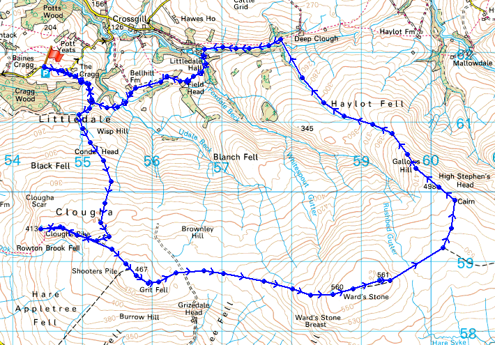
Cragg Wood and the slopes of Clougha Pike from the Little Cragg parking area
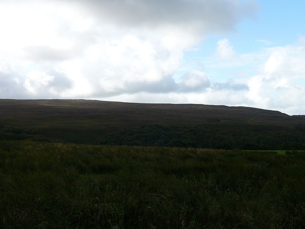
and through the gap between Cragg Wood and Baines Cragg
On the summit of Clougha Pike
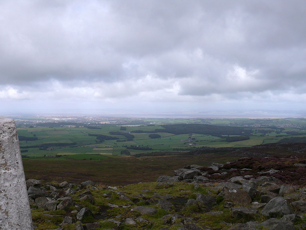
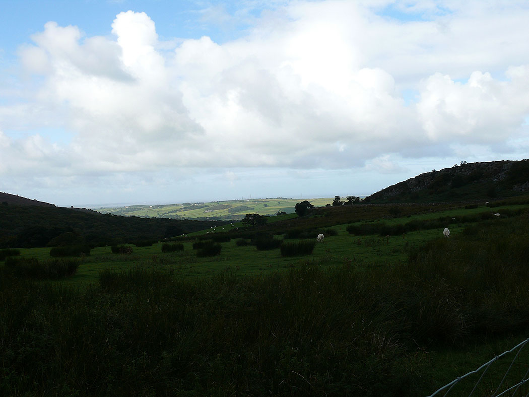
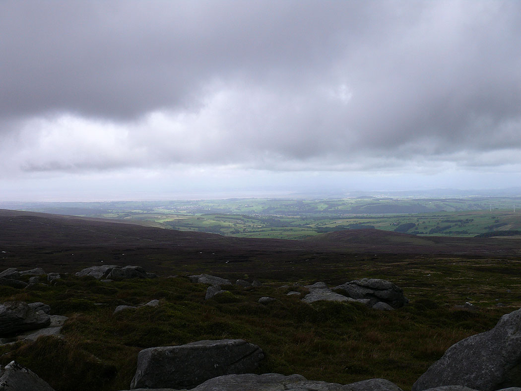
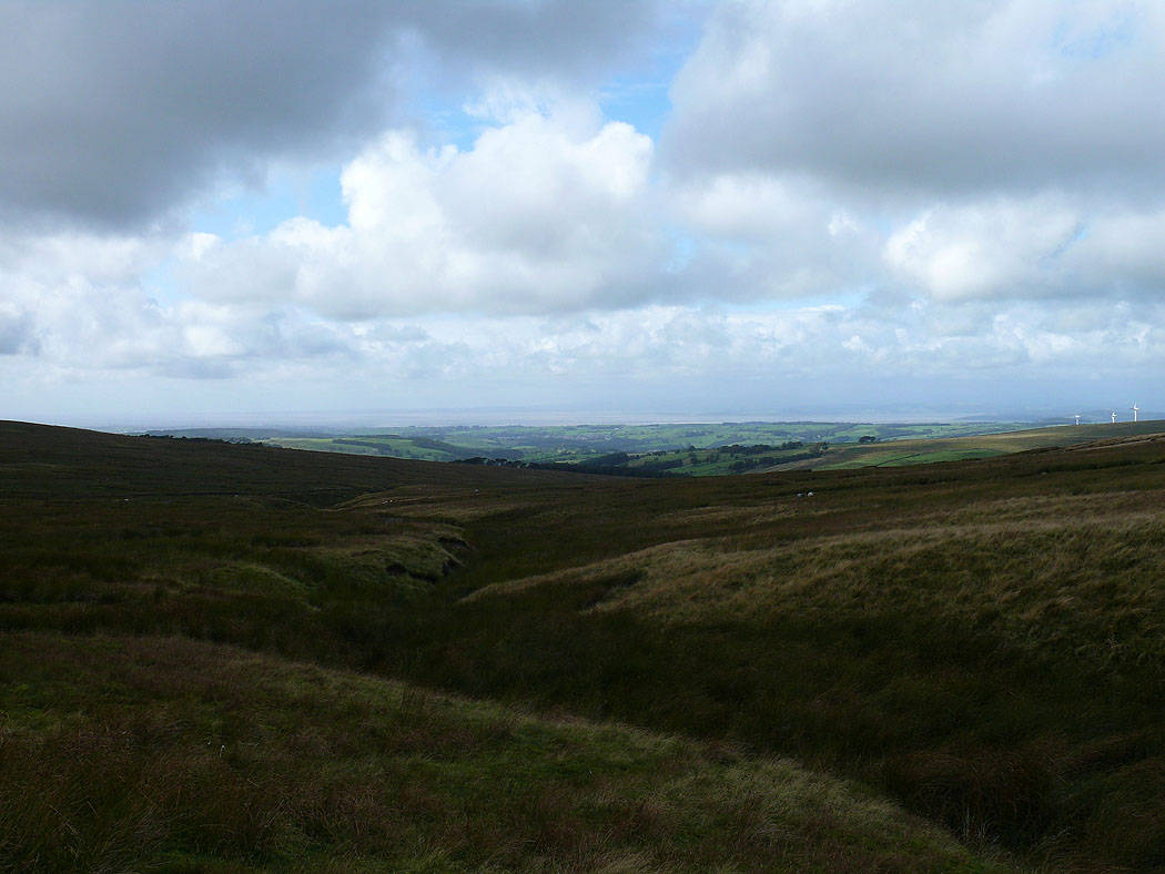
The view down to Morecambe Bay
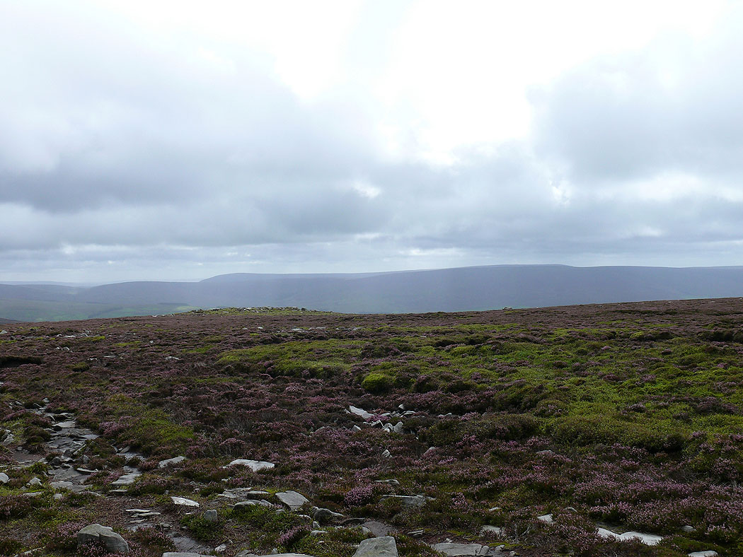
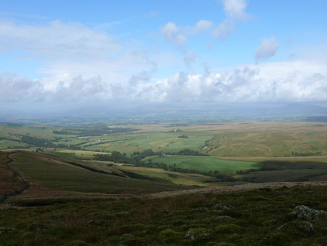
Caton Moor on the left and Ingleborough and Penyghent can just be made out to the right
On Grit Fell. Ingleborough and Penyghent in the distance with the slopes of Ward's Stone to the right.
The slopes of Ward's Stone
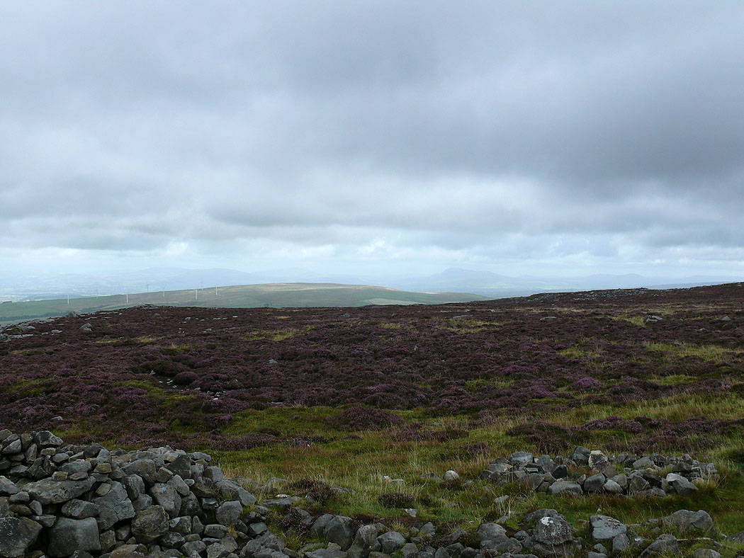
The view across to Hawthornthwaite Fell
On the western summit of Ward's Stone
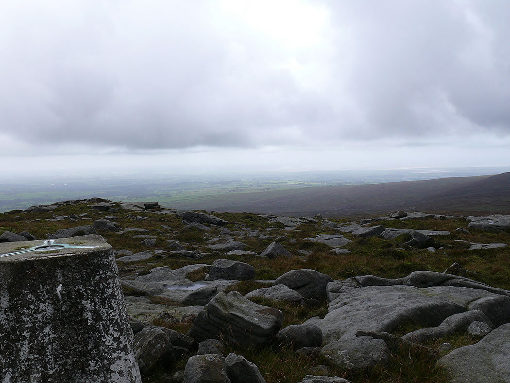
The view out towards Morecambe Bay from the western trig point
Bowland Fells from the eastern summit of Ward's Stone
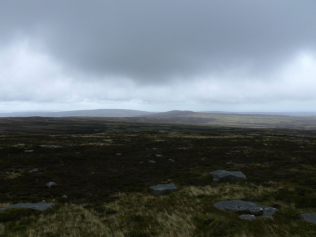
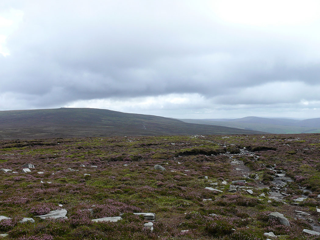
White Hill and Wolfhole Crag
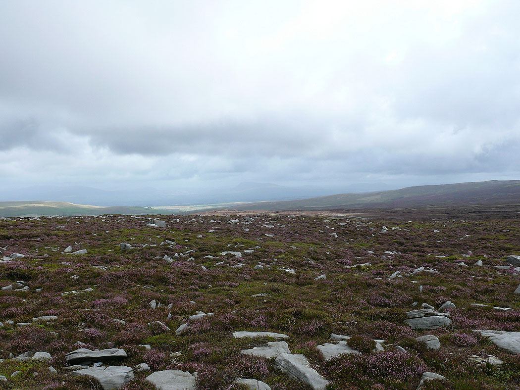
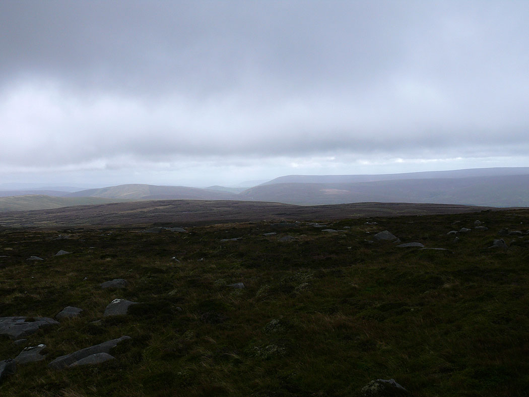
Ingleborough and Penyghent in the distance
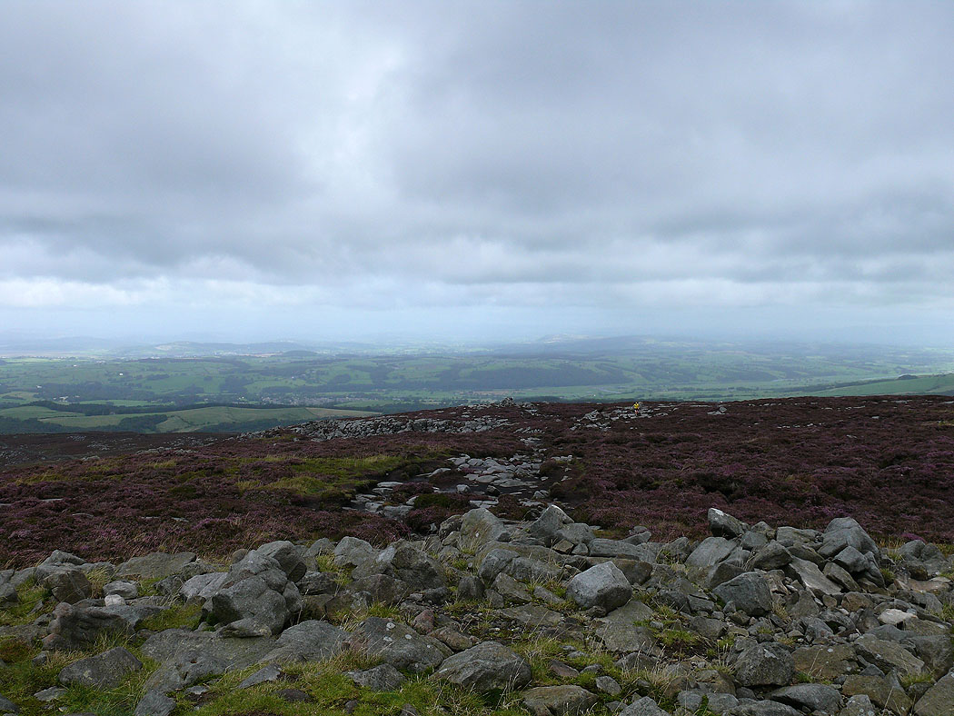
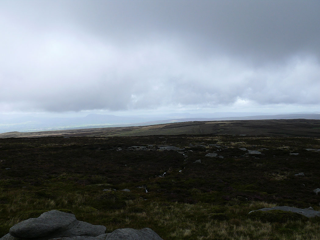
On High Stephen's Head. The Yorkshire Dales and Ingleborough in the distance.
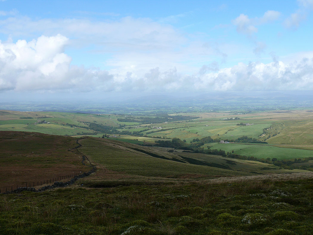
Roeburndale
Ragill Beck
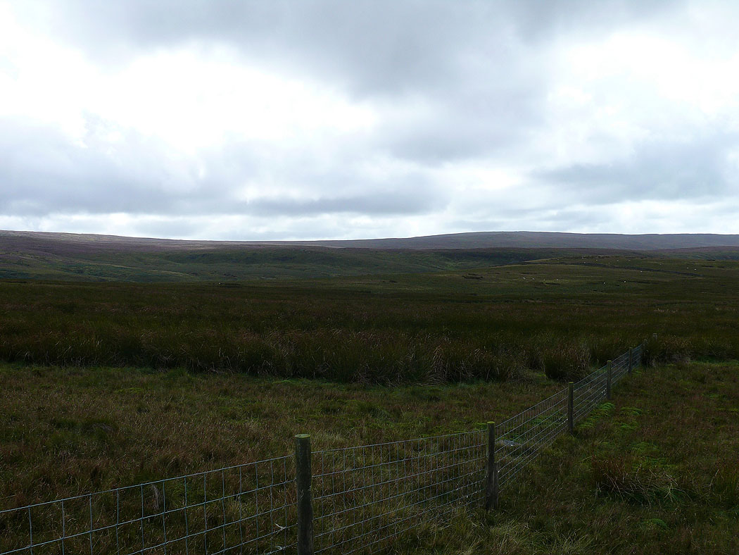
The northern slopes of Ward's Stone