29th August 2015 - High Brown Knoll & Midgley Moor
Walk Details
Distance walked: 8.9 miles
Total ascent: 1884 ft
OS map used: OL21 - South Pennines
Time taken: 6.5 hrs
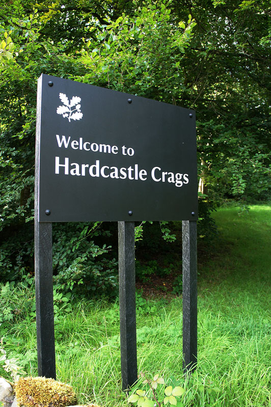
Route description: NT car park, Hardcastle Crags-Shackleton-Abel Cote Farm-Crimsworth Dean-Lumb Hole Waterfall-Old Road-Limers Gate-High Brown Knoll-Garnett Edge-Midgley Moor-Keelam Edge-Moor Side-Pecket Well-Kitling Bridge-NT car park, Hardcastle Crags
I decided to stay local in my search for heather today. The Peak District isn't the only area that has plenty of heather covered moors, anywhere where the moors are managed for grouse shooting will usually have a good covering and there are many parts of the South Pennines that fit that bill. From past experience I knew that Midgley Moor had plenty, so I worked out this route that started from Hardcastle Crags and took in a circuit of the moor. The only disappointment was that there wasn't much in the way of sunshine to show the heather off at its best.
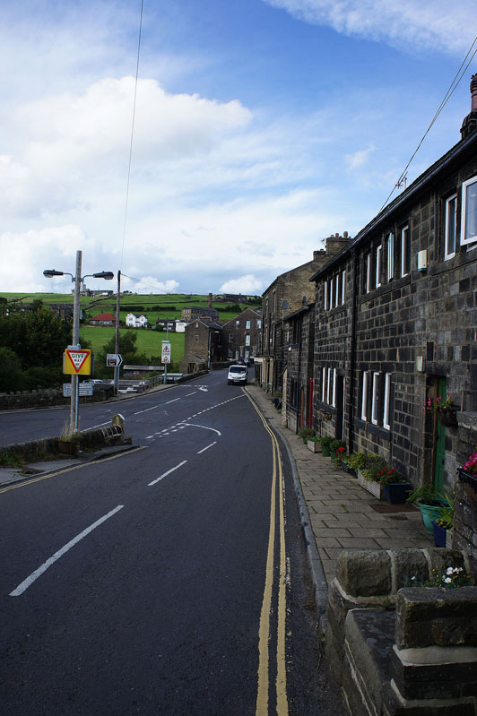
From the NT car park at Hardcastle Crags I made my way up through Foul Scout Wood to the hillside hamlet of Shackleton. In Shackleton I turned left and took the path up onto the moor to reach access land before heading down to Abel Cote Farm and the track past Abel Cross to the bridleway up Crimsworth Dean. At the ruin of Nook I took the path down into Crimsworth Dean to Lumb Hole Waterfall and then up the other side of the valley to Old Road. After a brief walk south along the road I reached the bridleway up to the A6033 and on the other side of the road the Limers Gate path to the trig point on High Brown Knoll. This was a convenient place to take a break for lunch. I then made my way south across Midgley Moor heading for the Luddenden Dean side of the hill and Garnett Edge until I reached the path up to Crow Hill Nook and the guide stone of Churn Milk Joan. After paying a visit to the trig point at the southern end of Midgley Moor I crossed to the western side of the hill to pick up the Calderdale Way. This trail was then followed all the way back to the car park at Hardcastle Crags.
Total ascent: 1884 ft
OS map used: OL21 - South Pennines
Time taken: 6.5 hrs
Route description: NT car park, Hardcastle Crags-Shackleton-Abel Cote Farm-Crimsworth Dean-Lumb Hole Waterfall-Old Road-Limers Gate-High Brown Knoll-Garnett Edge-Midgley Moor-Keelam Edge-Moor Side-Pecket Well-Kitling Bridge-NT car park, Hardcastle Crags
I decided to stay local in my search for heather today. The Peak District isn't the only area that has plenty of heather covered moors, anywhere where the moors are managed for grouse shooting will usually have a good covering and there are many parts of the South Pennines that fit that bill. From past experience I knew that Midgley Moor had plenty, so I worked out this route that started from Hardcastle Crags and took in a circuit of the moor. The only disappointment was that there wasn't much in the way of sunshine to show the heather off at its best.
From the NT car park at Hardcastle Crags I made my way up through Foul Scout Wood to the hillside hamlet of Shackleton. In Shackleton I turned left and took the path up onto the moor to reach access land before heading down to Abel Cote Farm and the track past Abel Cross to the bridleway up Crimsworth Dean. At the ruin of Nook I took the path down into Crimsworth Dean to Lumb Hole Waterfall and then up the other side of the valley to Old Road. After a brief walk south along the road I reached the bridleway up to the A6033 and on the other side of the road the Limers Gate path to the trig point on High Brown Knoll. This was a convenient place to take a break for lunch. I then made my way south across Midgley Moor heading for the Luddenden Dean side of the hill and Garnett Edge until I reached the path up to Crow Hill Nook and the guide stone of Churn Milk Joan. After paying a visit to the trig point at the southern end of Midgley Moor I crossed to the western side of the hill to pick up the Calderdale Way. This trail was then followed all the way back to the car park at Hardcastle Crags.
Route map
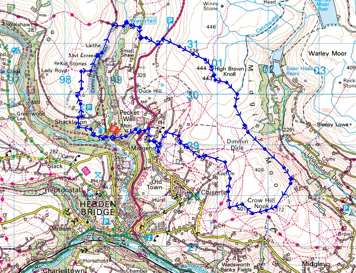
© Crown copyright. All rights reserved. License number PU 100034184.
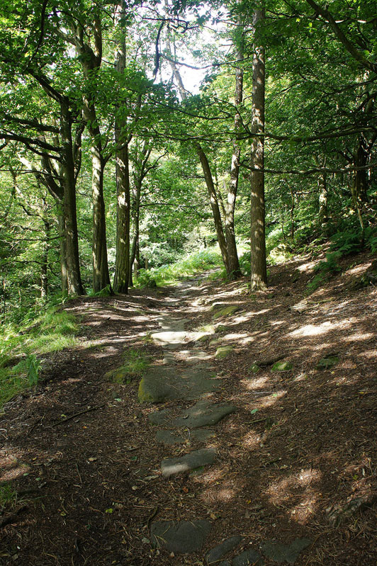
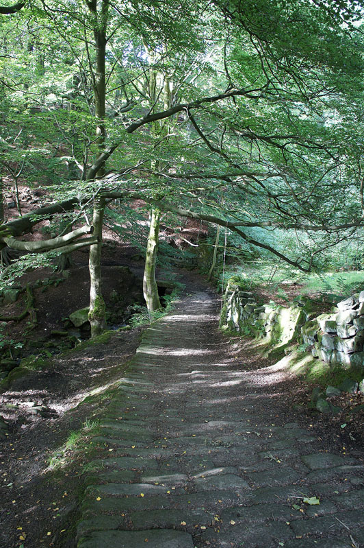
I leave the car park at Hardcastle Crags by taking a path up through the woods
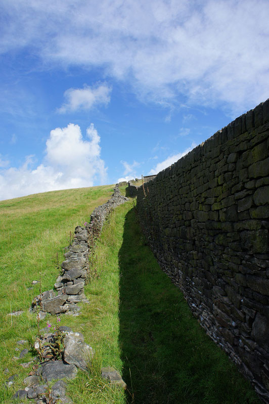
and then by this impressive drystone wall. They must have used stepladders to build it.
Hebden Dale
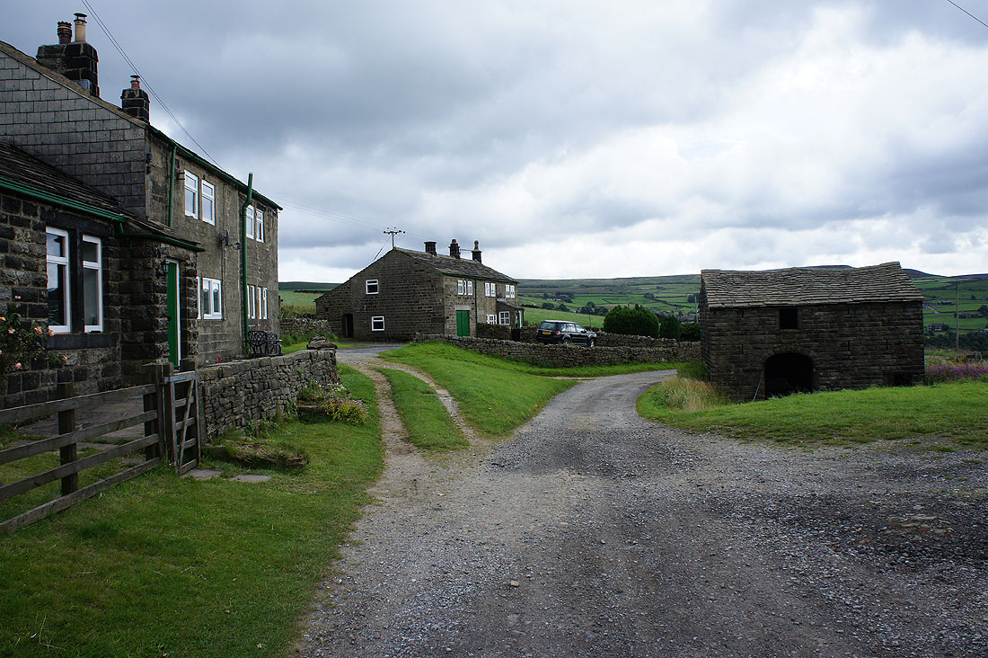
and the hillside hamlet of Shackleton
Heptonstall Moor from the hillside above Shackleton
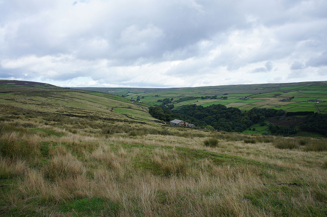
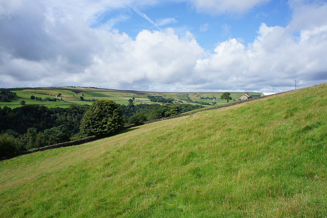
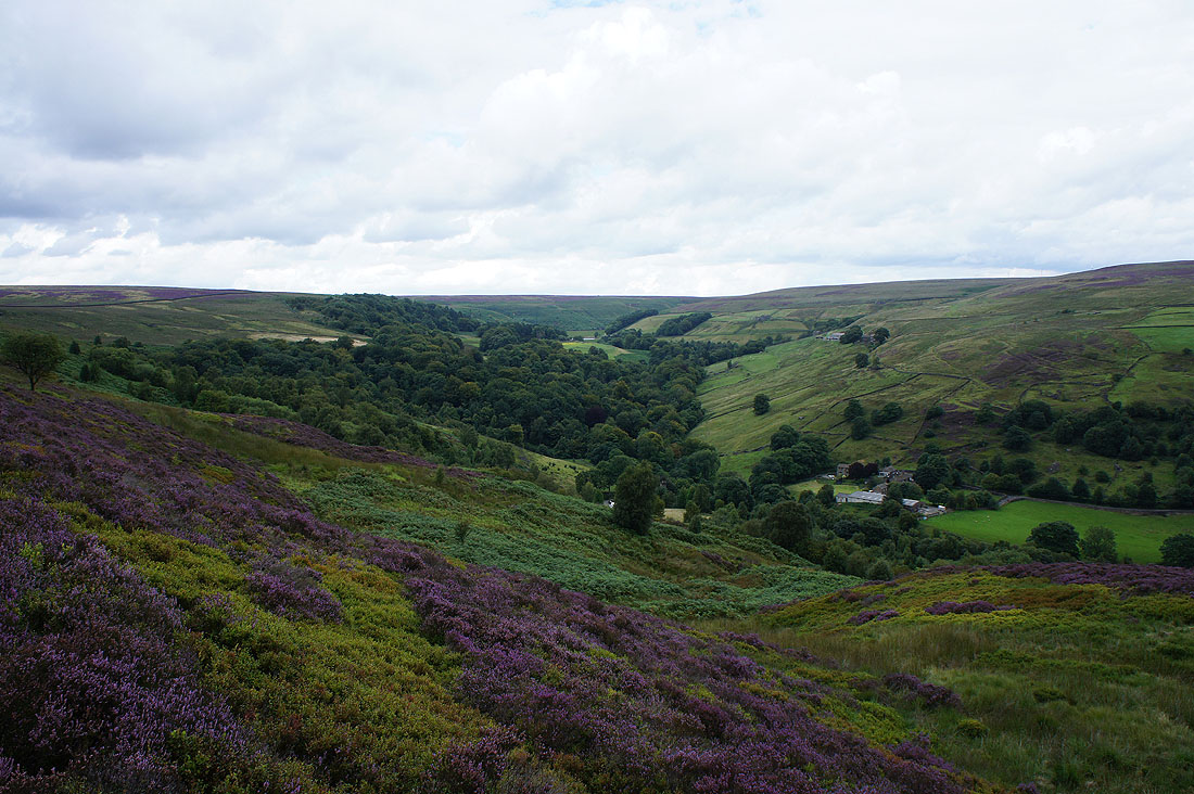
The valley of Crimsworth Dean. I'm heading for Abel Cote Farm, just below.
The head of Crimsworth Dean from as far up the valley as my route took me
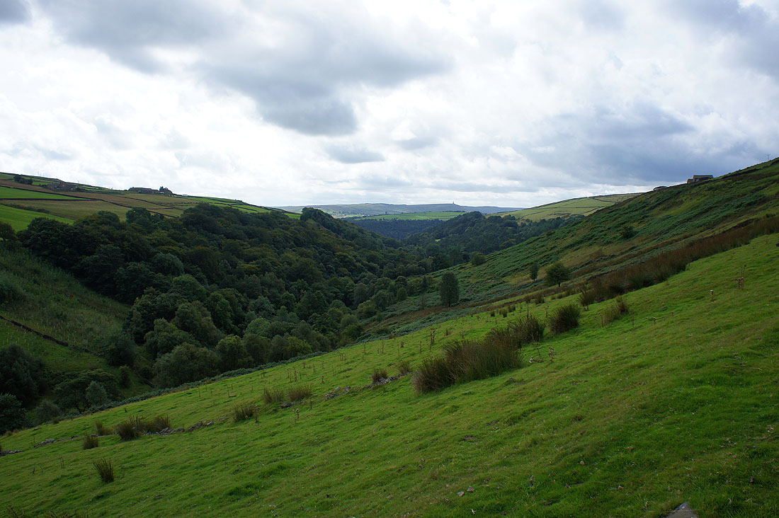
and looking down the valley to Middle Dean
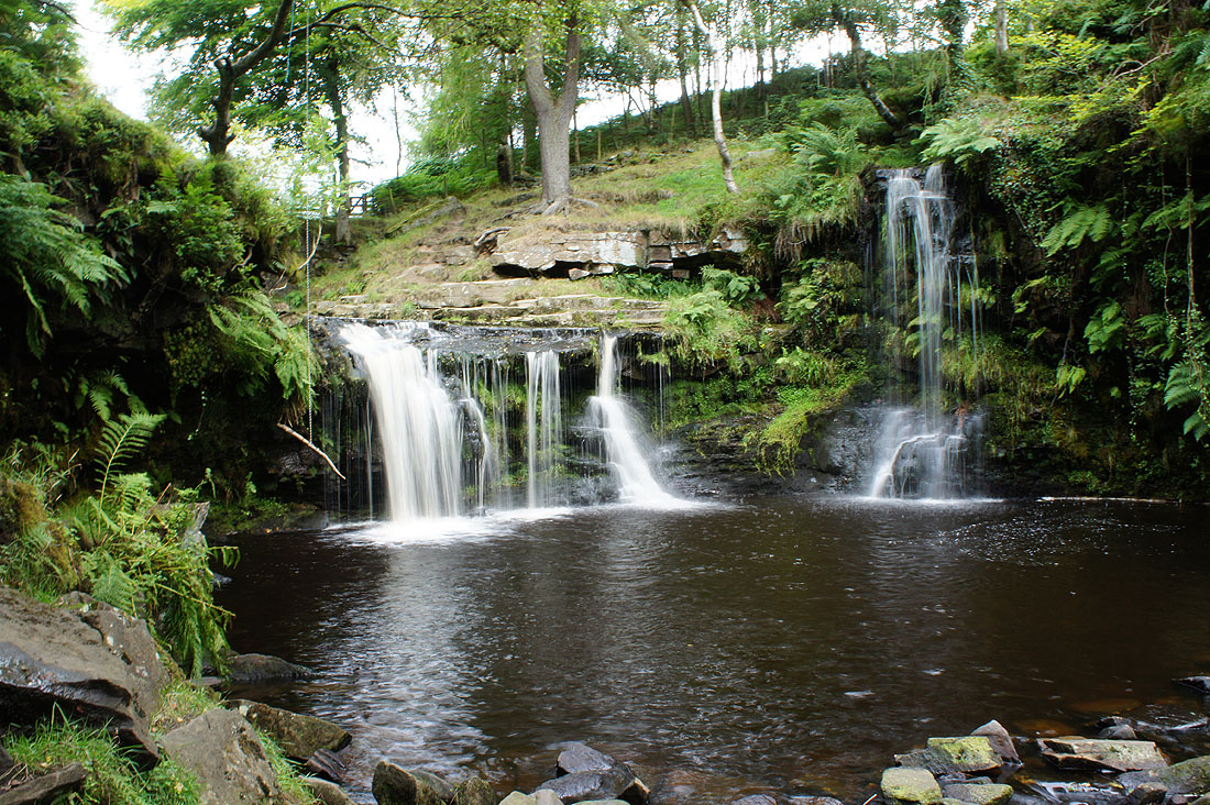
Lumb Hole Waterfall. Care was needed to get down to where I took this photo from.
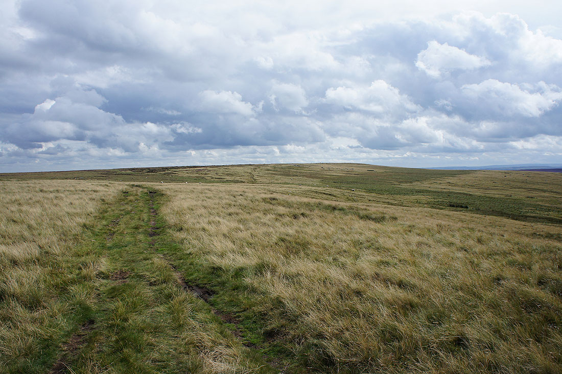
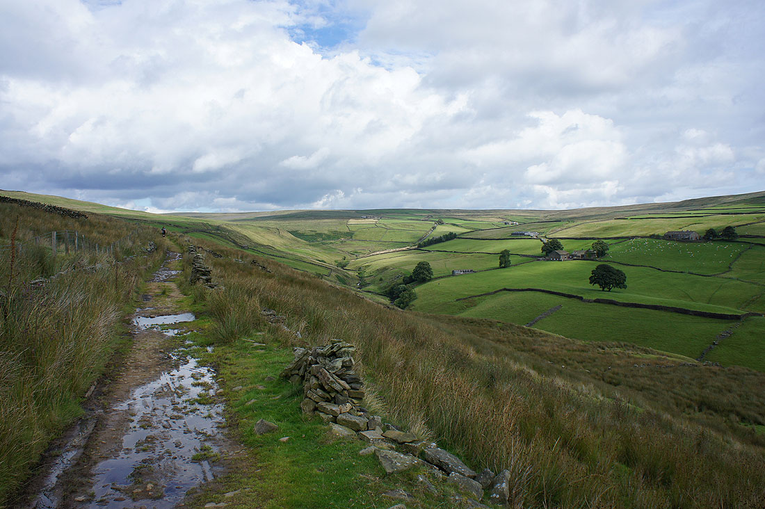
After crossing the A6033 I'm on Limers Gate heading for High Brown Knoll
The gritstone and heather of the South Pennine moors
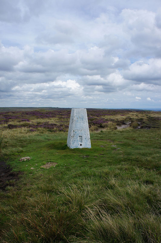
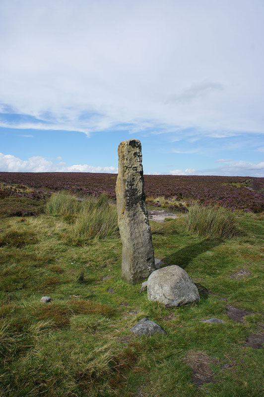
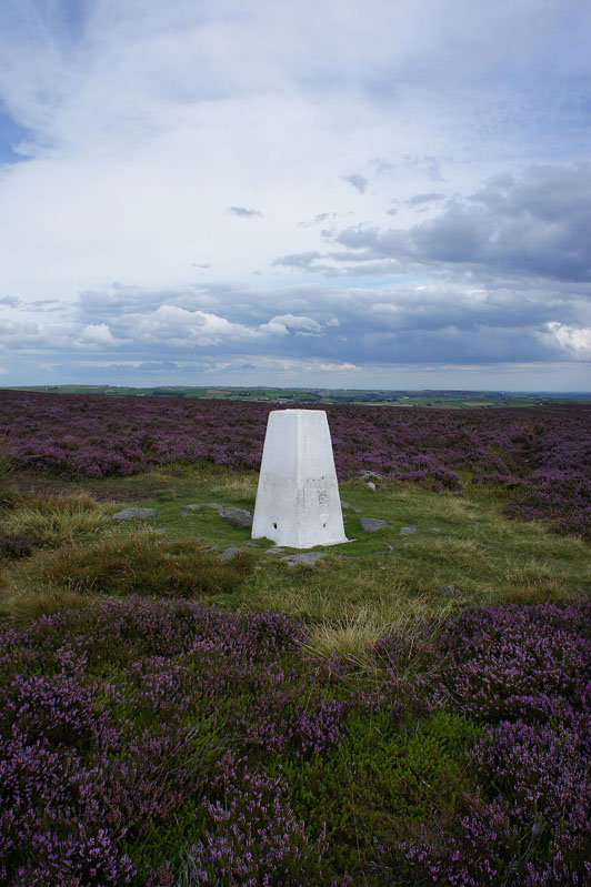
The trig point on High Brown Knoll that marks the high point of my walk today
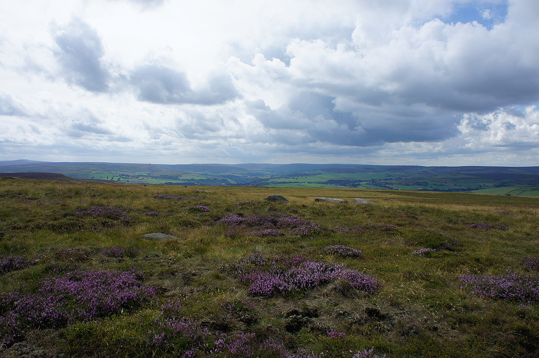
There's a good view from here, with the moors around Hebden Bridge and Todmorden to the southwest
and Hoof Stones Height and Boulsworth Hill to the west and northwest
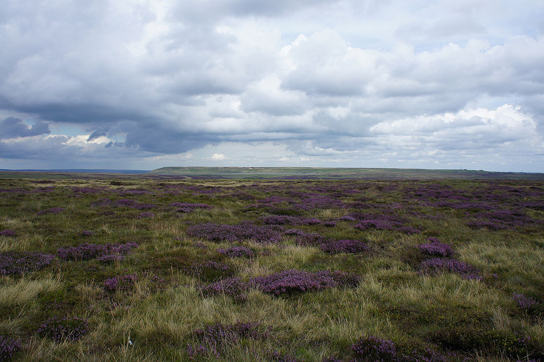
Ovenden Moor
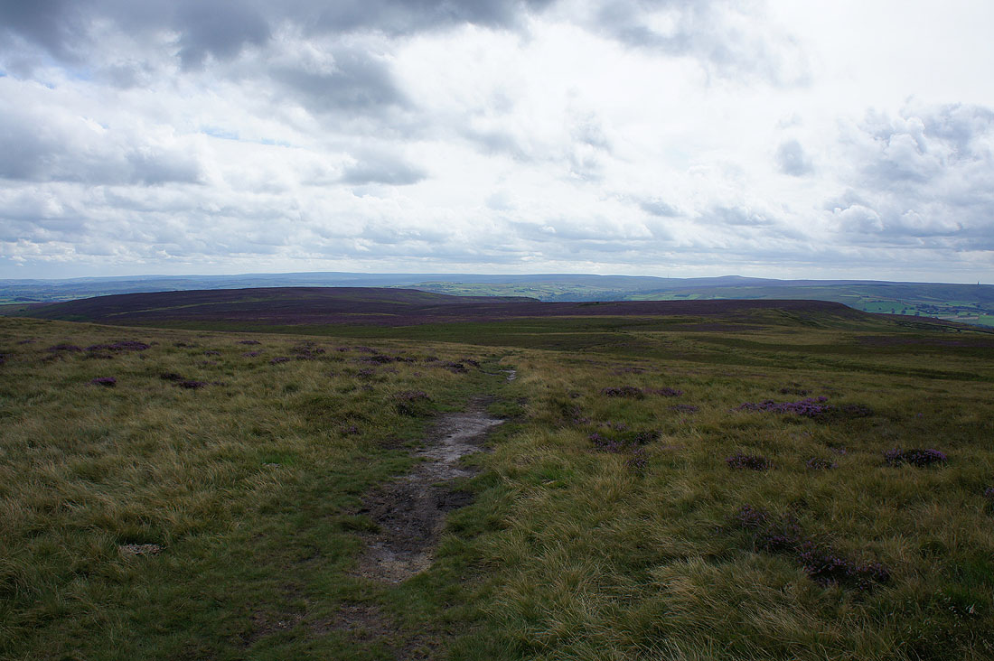
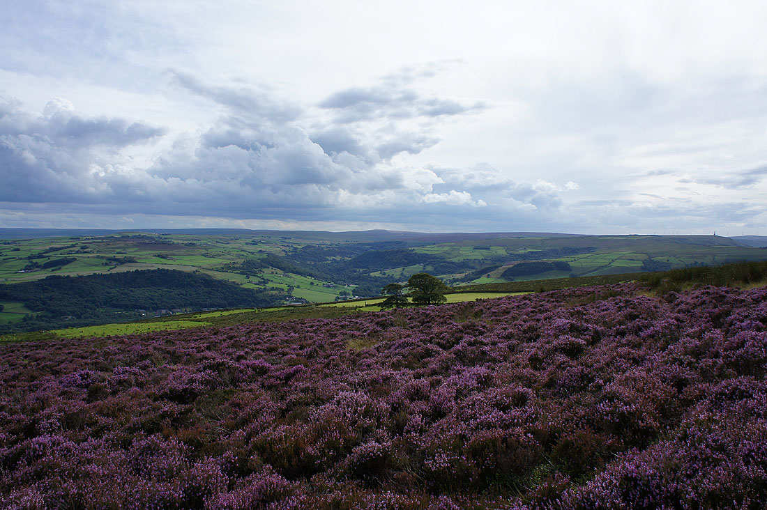
and Midgley Moor
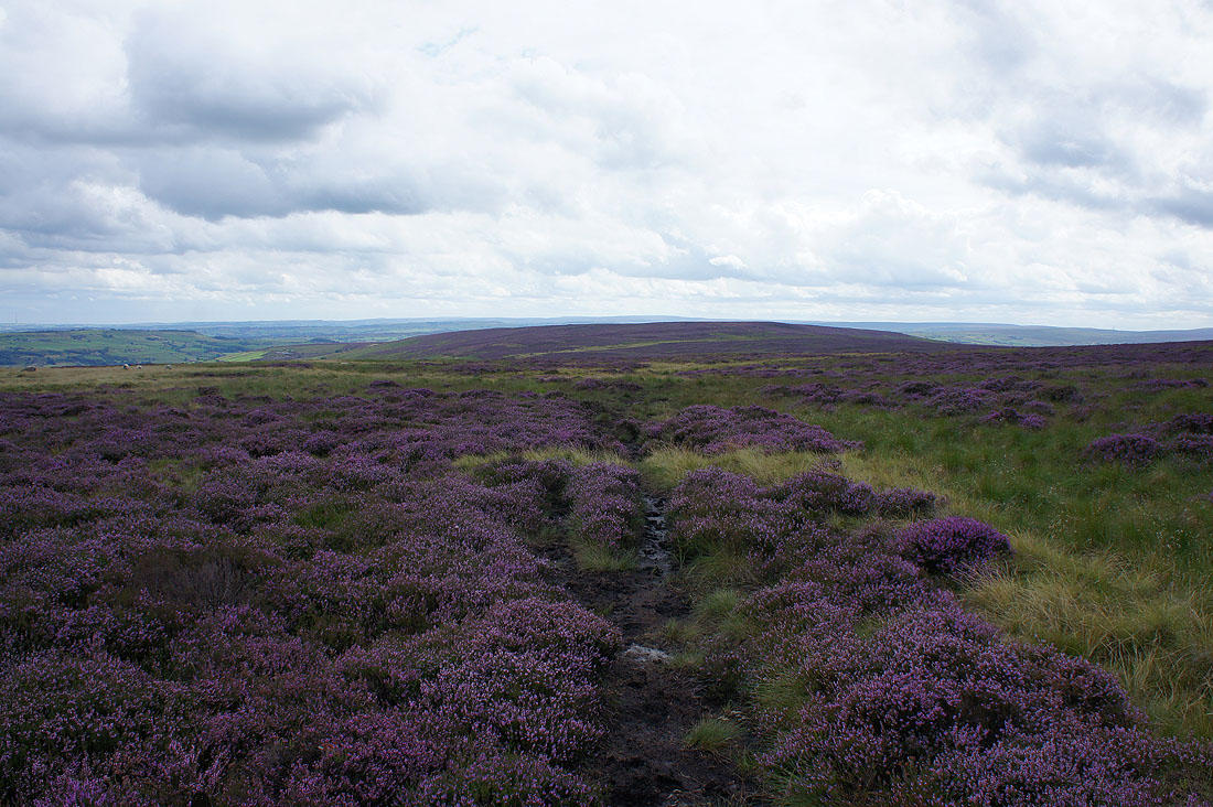
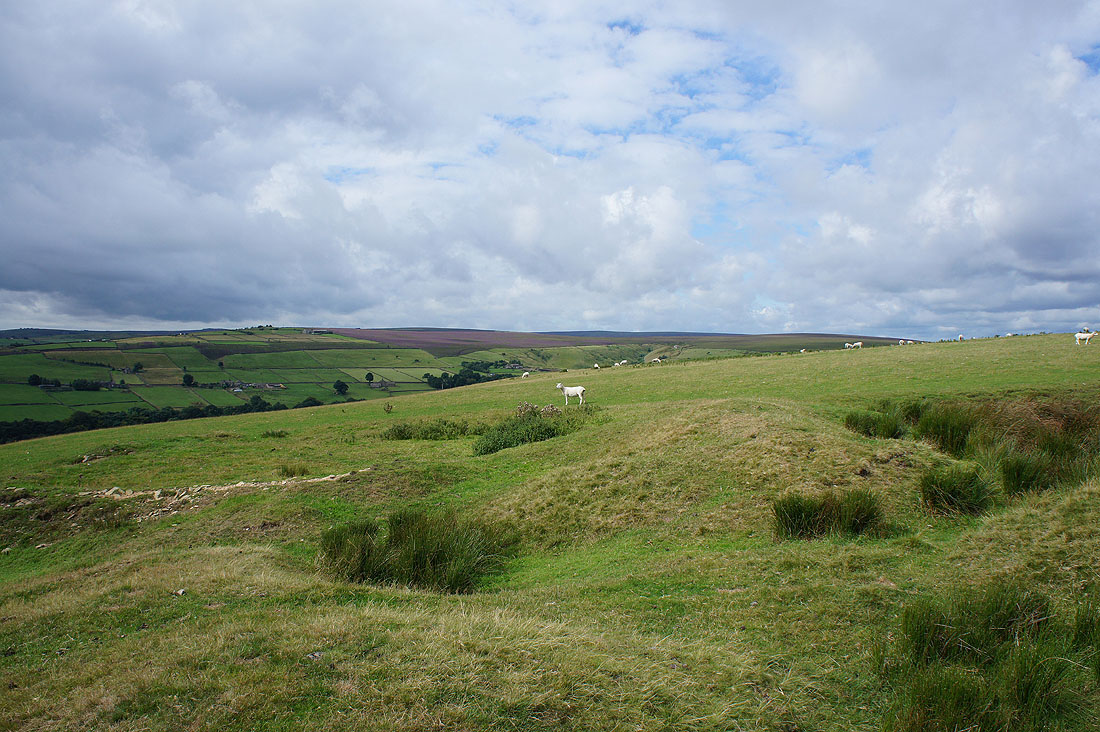
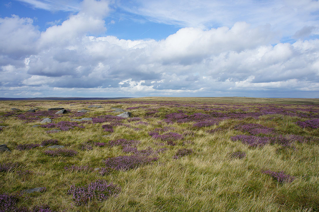
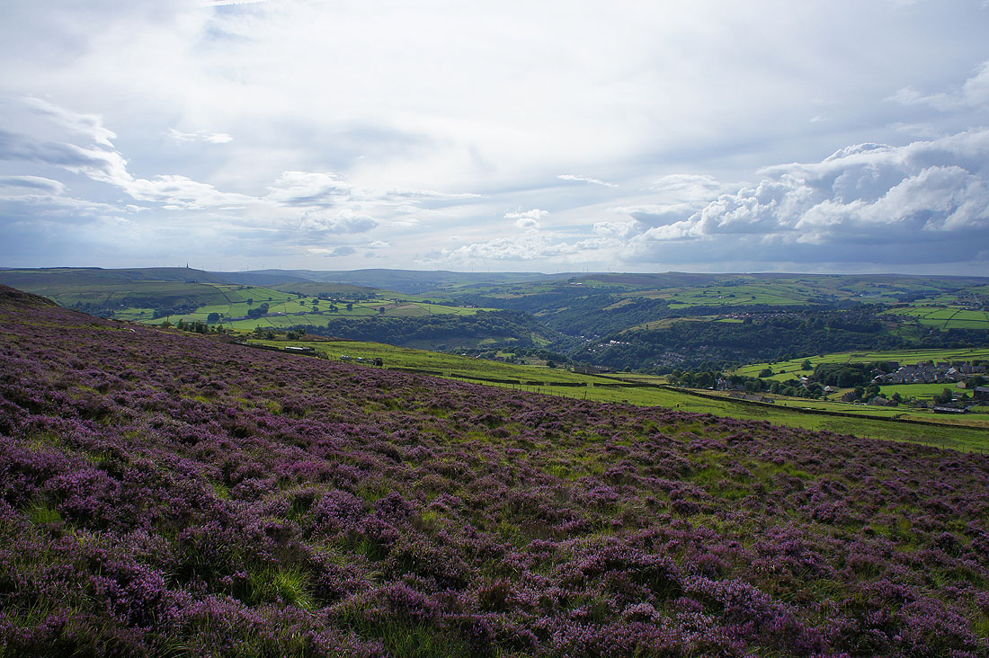
A fine display of heather on Midgley Moor
As I reach the path on the eastern edge of the moor..
..I get my first decent view across the upper part of Luddenden Dean
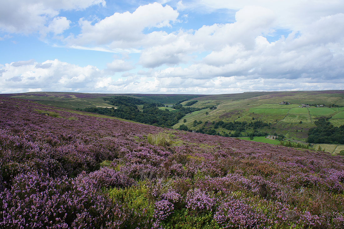
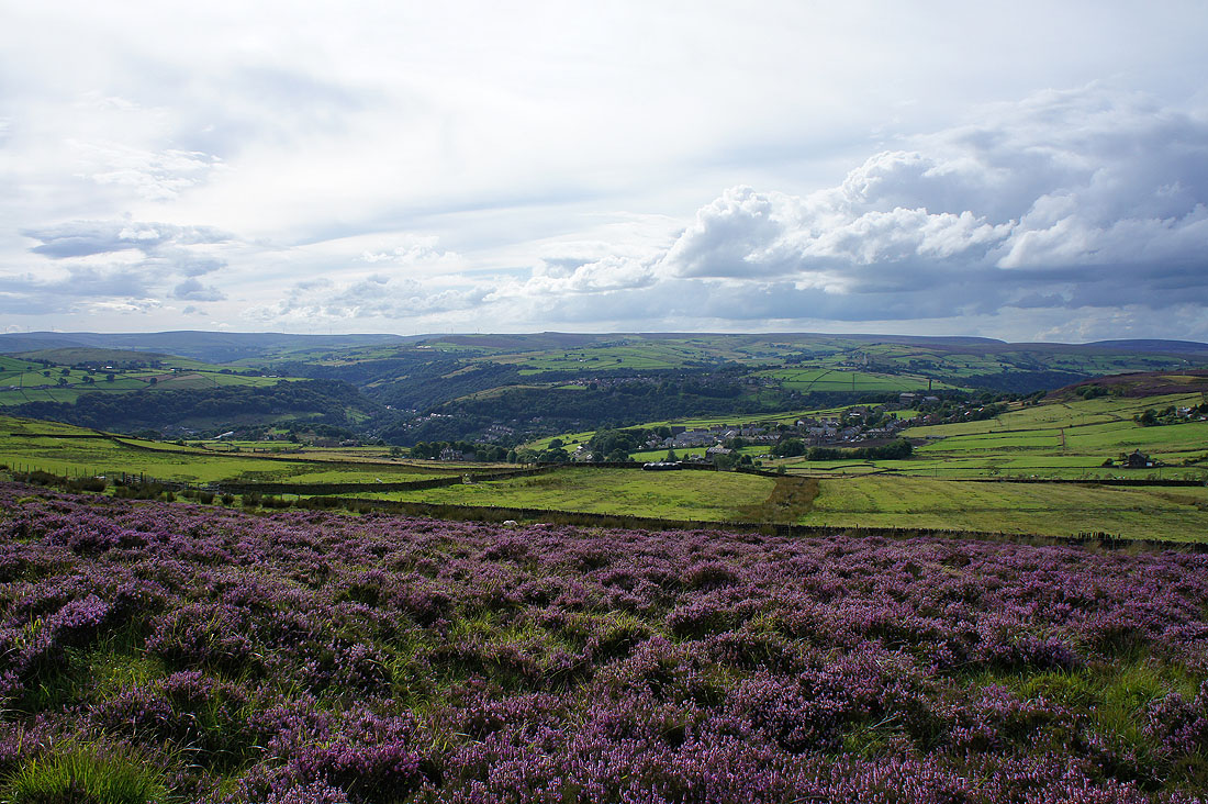
An even better one as I head up to cross to the other side of the moor
and looking down Luddenden Dean
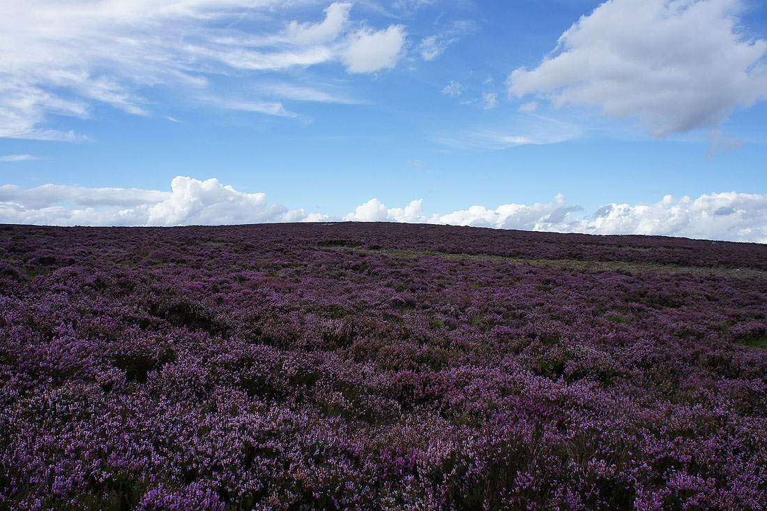
All the heather is in bloom and the sweet smell is quite strong
Past the guide stone of Churn Milk Joan
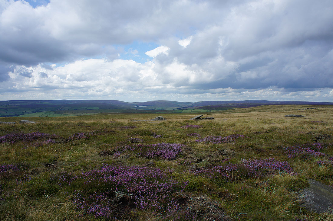
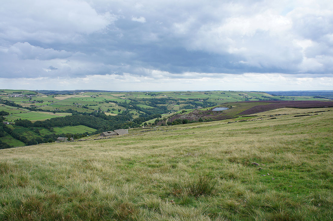
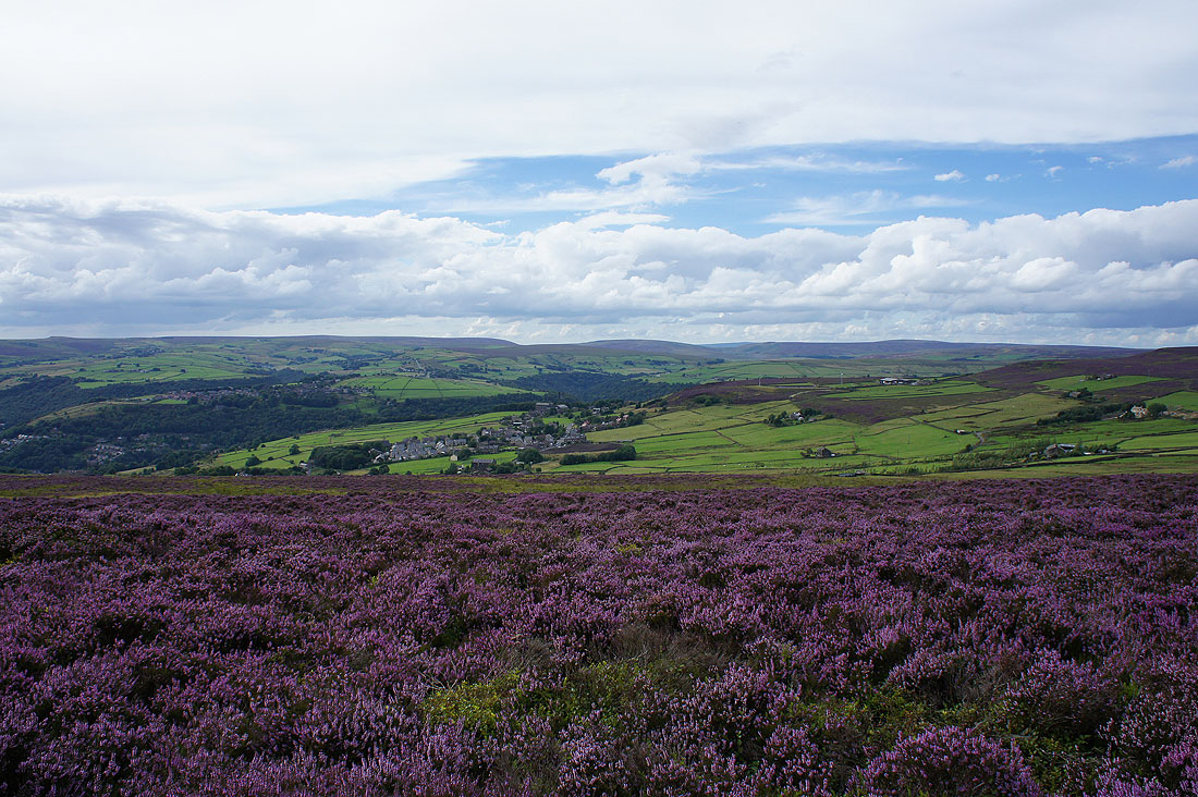
Cragg Vale on the other side of Calderdale from the southern end of Midgley Moor
The trig point at the southern end of Midgley Moor. I missed it out the last time I was round here so I made sure that I bagged it this time.
A great view across the heather to Chiserley and Hebden Dale as I head west from the trig point..
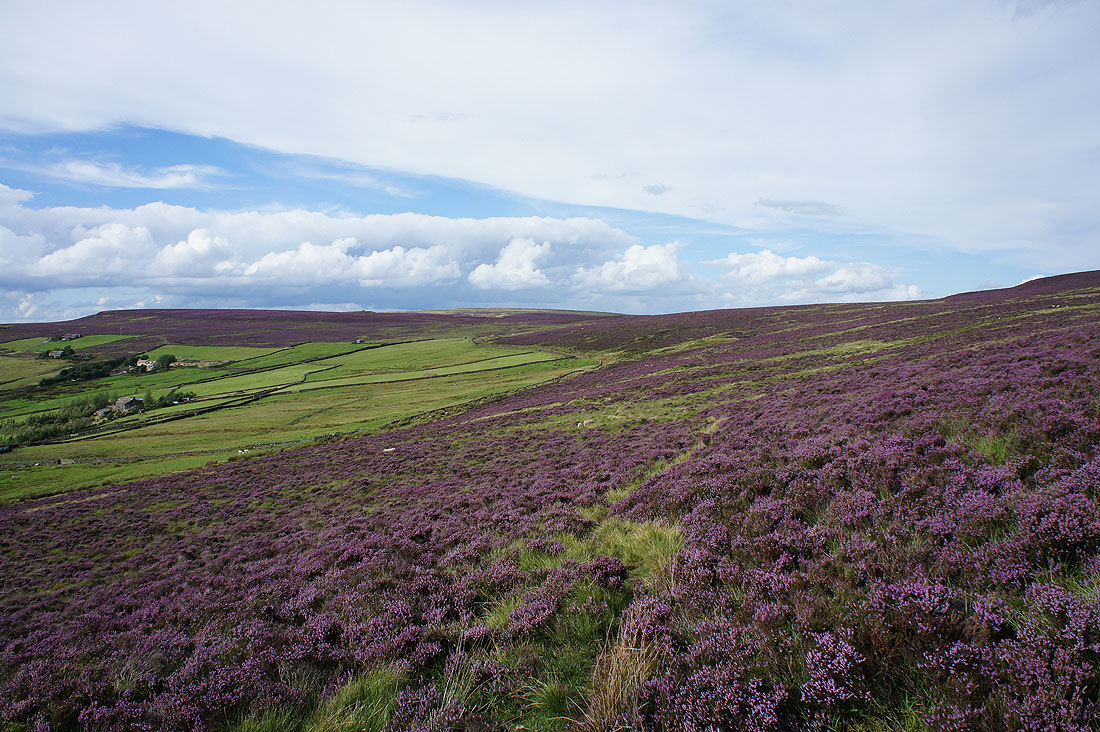
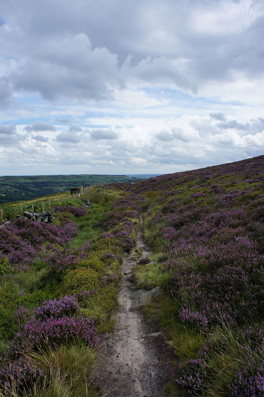
..to pick up the Calderdale Way along Keelam Edge
Lovely views across Calderdale taking in Stoodley Pike and the moors above Hebden Bridge..
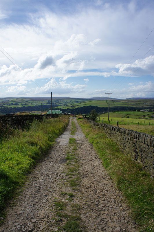
Down the private road from Moor Side
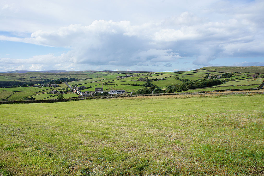
The village of Pecket Well
In Pecket Well
Down the track to cross Kitling Bridge
and I'm soon back at Hardcastle Crags