29th August 2016 - A circuit of Barden Moor
Walk Details
Distance walked: 14.8 miles
Total ascent: 2136 ft
OS map used: OL2 - Yorkshire Dales, Southern & Western areas
Time taken: 8 hrs
Route description: Embsay-Eastby-Eastby Gate-Halton Height-Lower Barden Reservoir-Upper Barden Reservoir-Numberstones End-Watt Crag-Rylstone Cross-High Bark-East Harts Hill-Crookrise Crag Top-Embsay Reservoir-Embsay
This walk may well end up being my favourite of the year. Despite it being a bank holiday the weather really delivered today with blue skies, warm sunshine and great visibility. It really made the heather on Barden Moor look at its best. It's past the peak of its flowering now and this may well be the last "heather walk" that I do this year. If so, I saved the best to last. Although this route was a long one, for the most part it's easy walking with a fair proportion of it done on estate tracks, but I did have a bit of difficult terrain to negotiate in the form of pathless heather. I tried a direct route from the track on East Harts Hill across to Crookrise Crag Top, a mistake as there was a lot of boggy ground hidden by the heather. After turning round and getting back to the track I fortunately picked up the line of grouse butts that's on the map and following them took me within touching distance of dry ground and the wall across the moor. The day was almost spoiled when I had a bit of a mishap. For the first time in many years I slipped and fell. As I was following the path from the war memorial to Rylstone Cross my right foot went out from under me on a patch of mud. I couldn't catch myself and I ended up falling on my right side, covering it in mud. I was fortunate that there wasn't a rock under me when I hit the ground. It was a good job that it was such a nice day. I was able to wash it off and the sun did the rest.
After parking in the car park on Main Street in Embsay I left it by the public footpath from its back across to Kirk Lane. I briefly walked north up the lane past St. Mary's church before turning right and taking a footpath across fields to Eastby, and after a walk east along the lane through Eastby I turned left onto the footpath that heads uphill by Heugh Gill to Eastby Gate. Access land is reached here and I followed a boggy path across the moor to the trig point on Halton Height. Once I'd made it down to Barden Road below I had easy walking for the next few hours. I walked east along the road until I reached a cattle grid and then estate tracks took me down to Lower Barden Reservoir, up to Upper Barden Reservoir and across and up Burnsall Fell to Numberstones End. After having lunch here another track was followed around the northern side of Burnsall Fell and for most of the way to the war memorial on Watt Crag. A muddy path then heads southwest by a wall to Rylstone Cross and south to reach the bridleway from Rylstone across the moor. I followed this east until I reached a track that heads south across Waterfall Gill and up onto East Harts Hill. I now had to get across to Crookrise Crag Top. A line of grouse butts that started at a sharp left turn in the track marked by a rock seems the best way. It cut down the amount of pathless heather bashing. Once I'd taken in the view from the trig point on Crookrise Crag Top I crossed back over the ladder stile to the east side of the wall to take the path south down to Embsay Reservoir and a walk down Pasture Road took me back to Embsay.
Route map
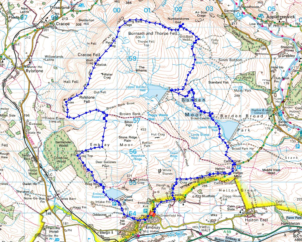
© Crown copyright. All rights reserved. License number PU 100034184.
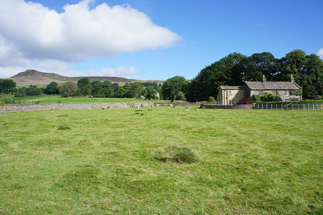
As I set off from Embsay I cross a field below Embsay Crag
It's a beautiful morning as I reach access land at Eastby Gate
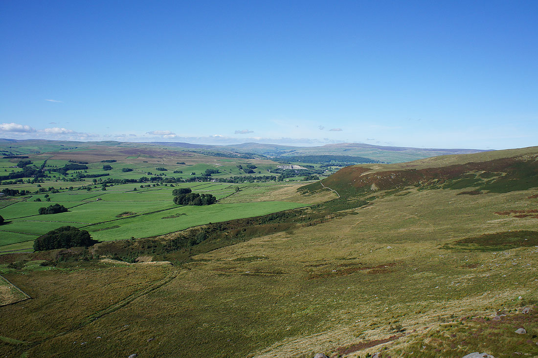
At the trig point on Halton Height, with Simon's Seat in the background on the other side of Wharfedale
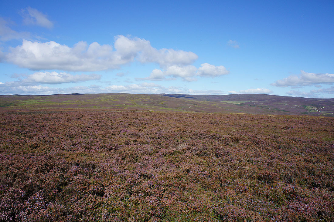
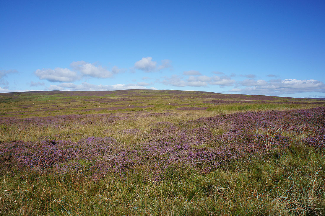
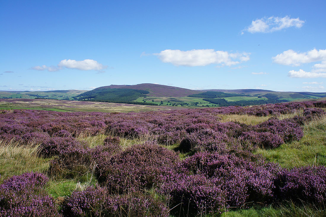
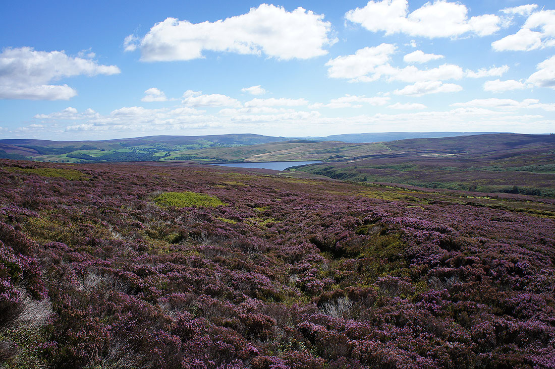
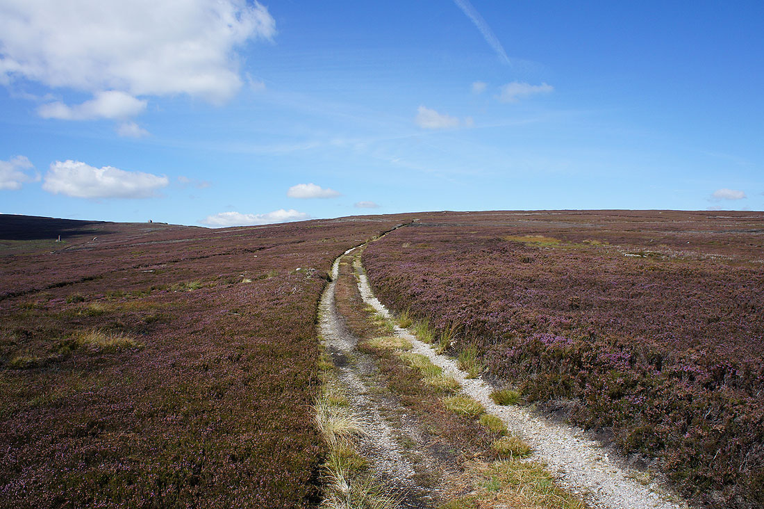
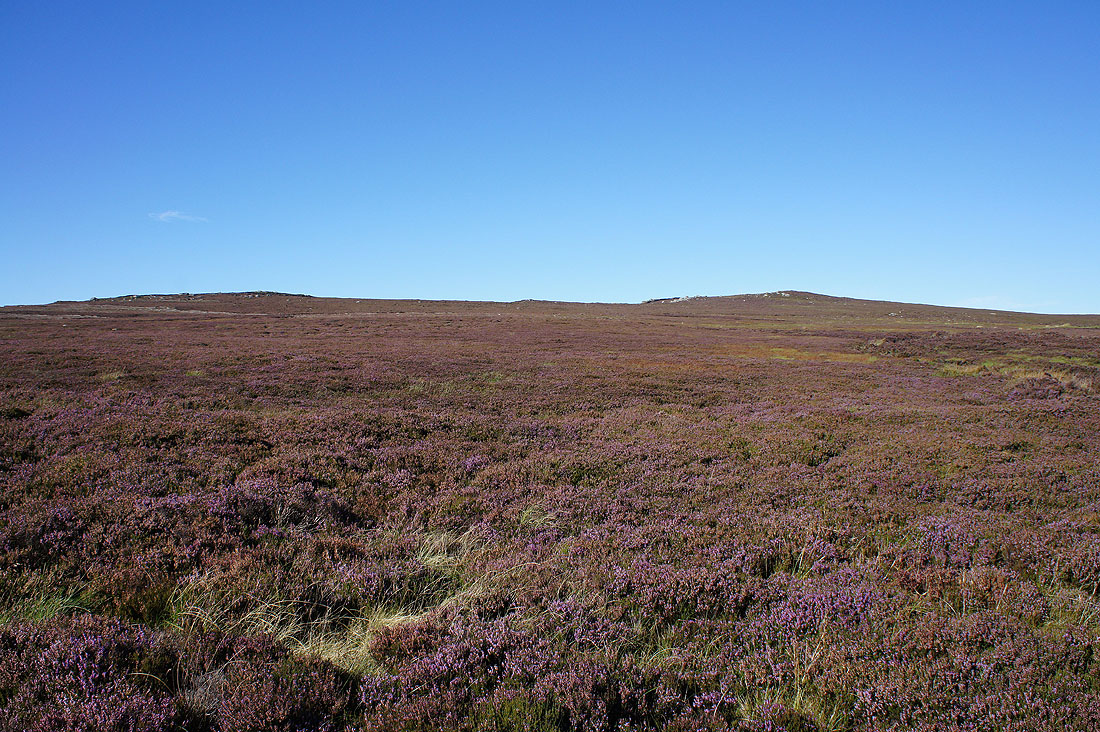
The glorious heathery expanse of Barden Moor
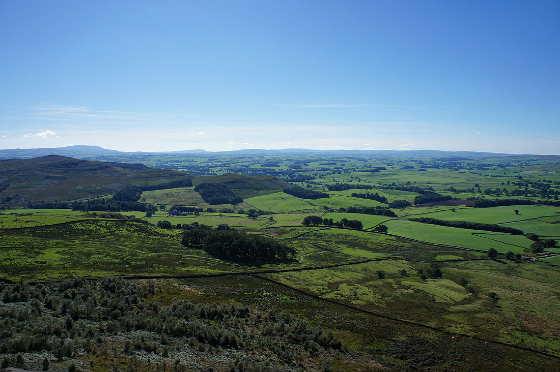
A distant view across Wharfedale to Meugher, Grassington Moor and Appletreewick Moor
Ilkley Moor in the distance
Looking west along the line of the A59. Skipton Moor on the left, Pinhaw Beacon in the middle and Pendle Hill on the right.
Lower Barden Reservoir as I follow the track down to it
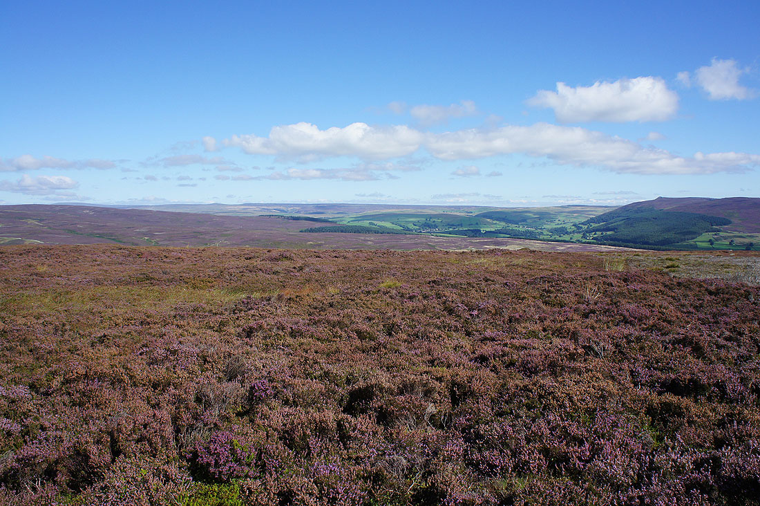
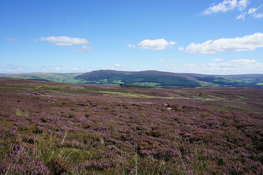
A great view across flowering heather to Simon's Seat and Carncliff Top
and again from by Lower Barden Reservoir
Into the valley of Barden Beck. Just ahead I'll turn right, cross a footbridge and take another track up to Upper Barden Reservoir.
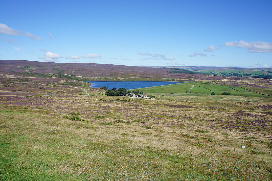
I've been to Upper Barden Reservoir and another track is taking me further north and east up the moor. Looking back to Lower Barden Reservoir.
and across to Simon's Seat and Carncliff Top
Ilkley Moor in the distance
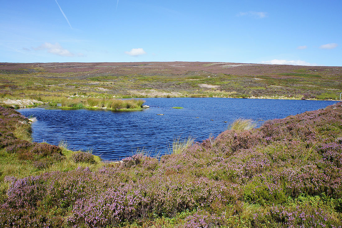
My route takes me past this little reservoir. The ripples on its surface show that there's a strong wind blowing.
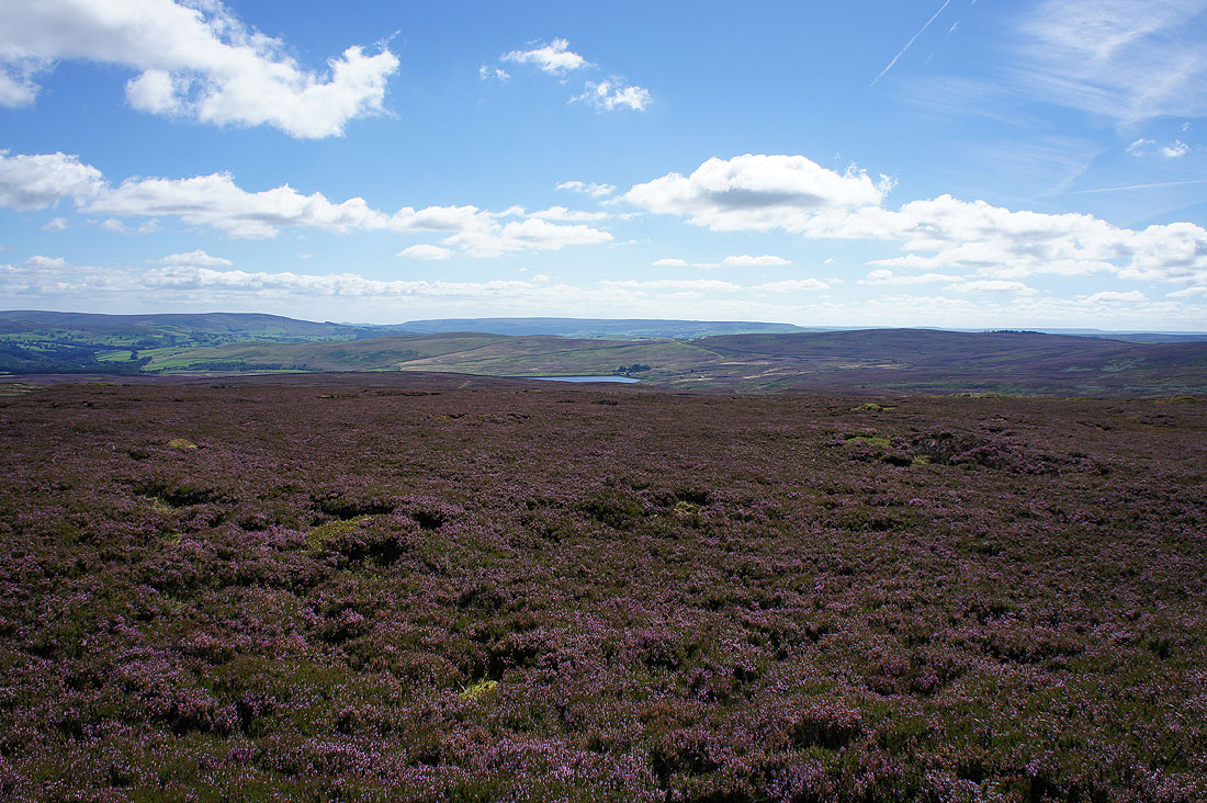
Not far to go to reach the northern edge of the moor at Numberstones End
At Numberstones End. Looking to the top of Burnsall Fell, the high point of Barden Moor. I'll be heading for that shooting box once I've had my lunch.
Simon's Seat and Carncliff Top on the other side of Wharfedale
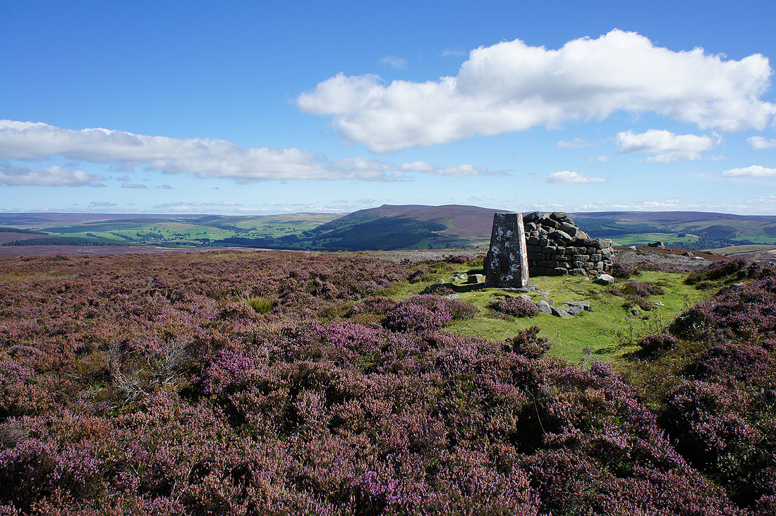
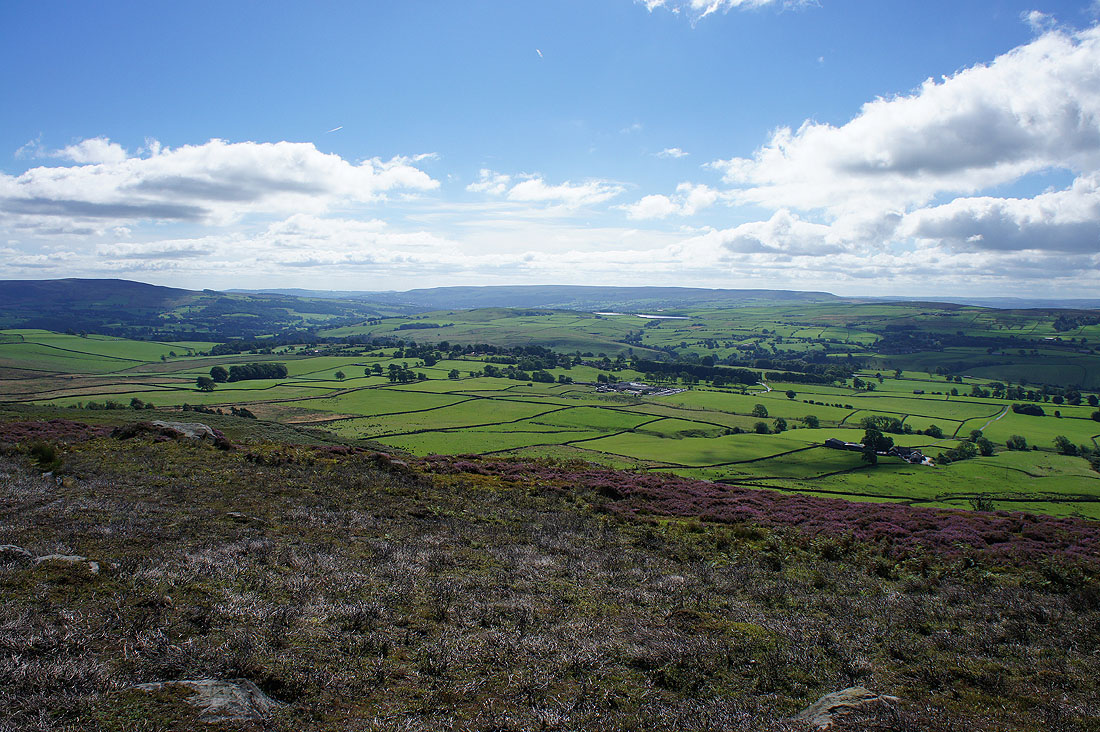
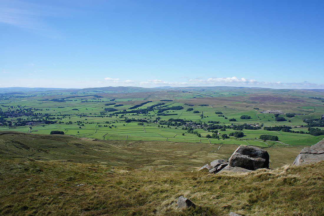
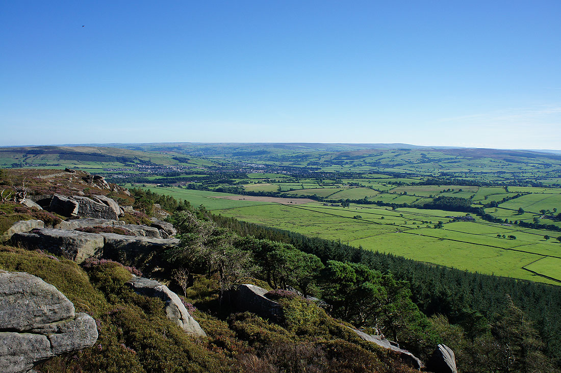
It was worth getting to the top of this crag for the view of Wharfedale. There's the villages of Grassington on the left and Hebden on the right with Great Whernside the highest hill in the middle.
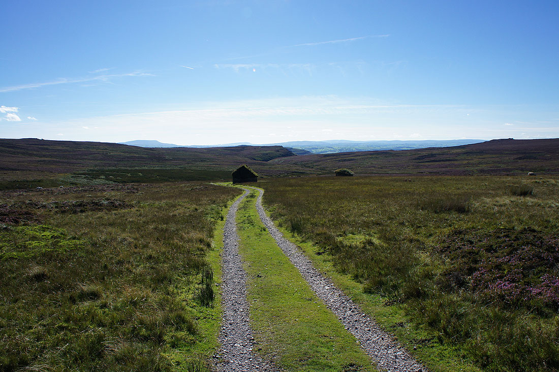
Looking back as I pass the shooting box. That collection of rocks on the edge of the moor on the left was where I took the last photo from.
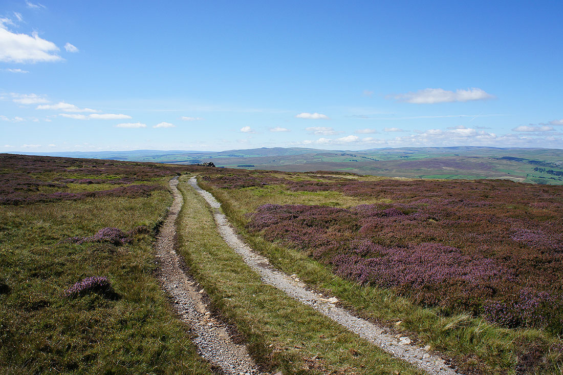
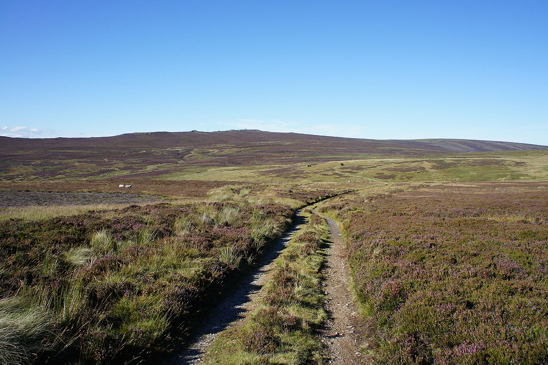
From Numberstones End I follow a track west along the northern edge of the moor..
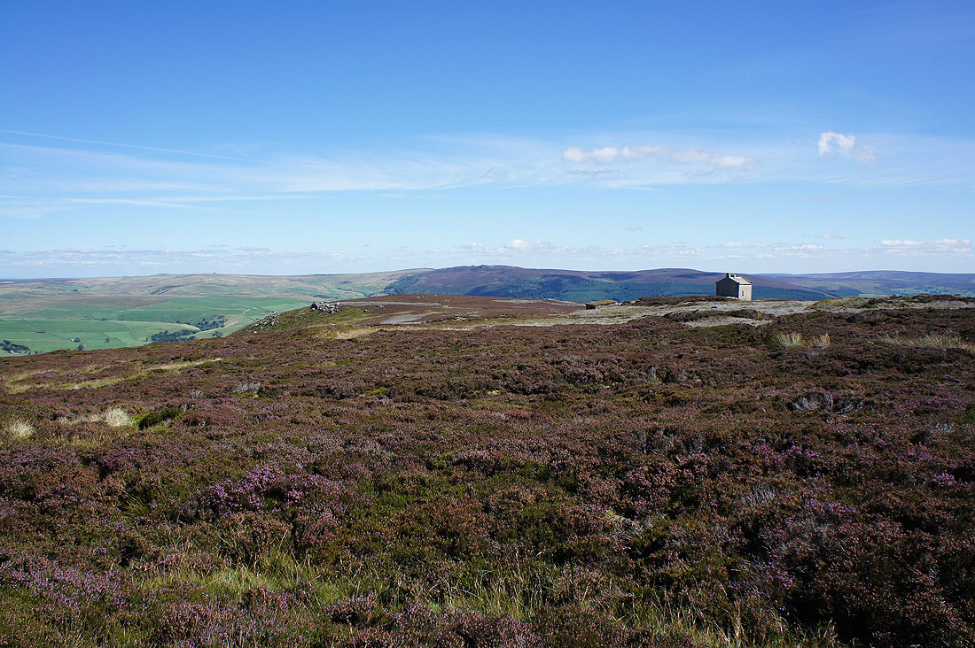
..and the war memorial comes into view
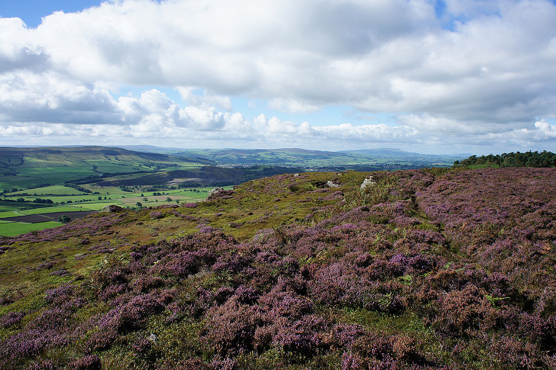
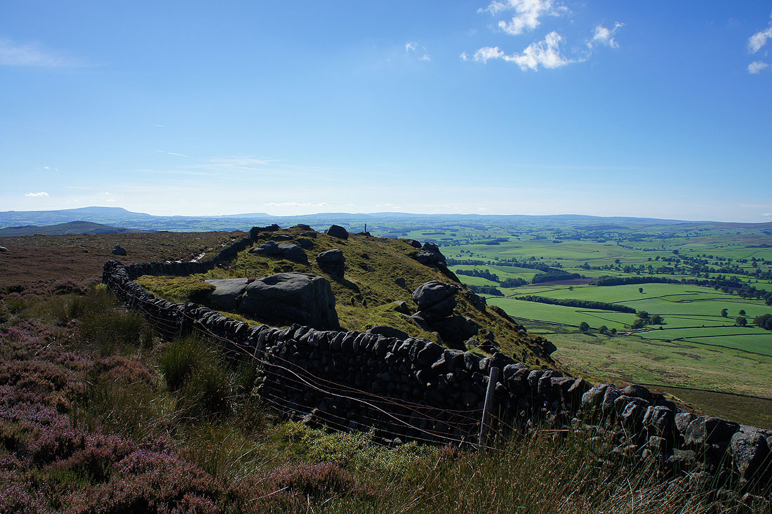
What a stunning afternoon. Blue skies, warm sunshine and great visibility for taking in the fantastic views. Looking southwest along the edge of the crags to a distant Pendle Hill and to its right there's Longridge Fell, Easington Fell, Parlick and Fair Snape Fell in the Forest of Bowland.
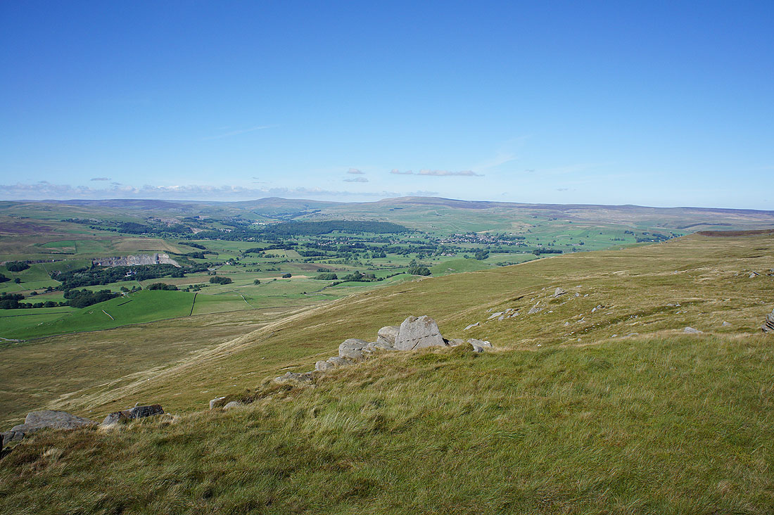
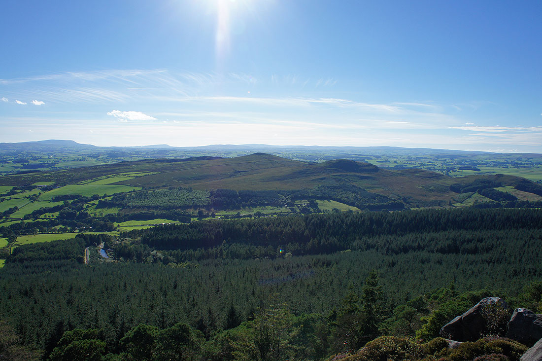
Rye Loaf Hill, Ingleborough and Fountains Fell in the distance. That's the village of Cracoe below.
Buckden Pike, Great Whernside, Grassington and Wharfedale
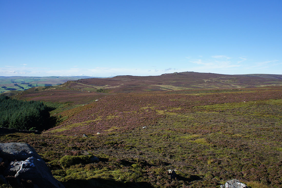
The broad swell on the left is the top of Burnsall Fell
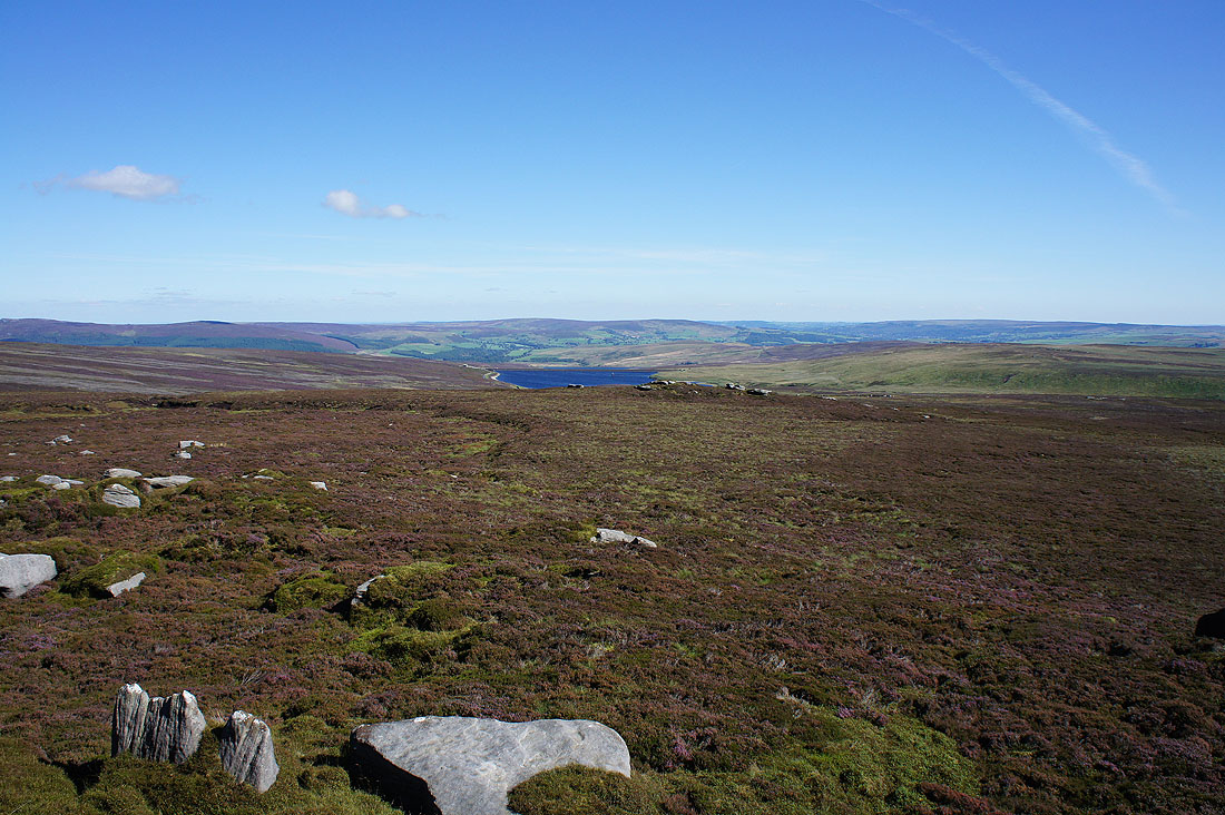
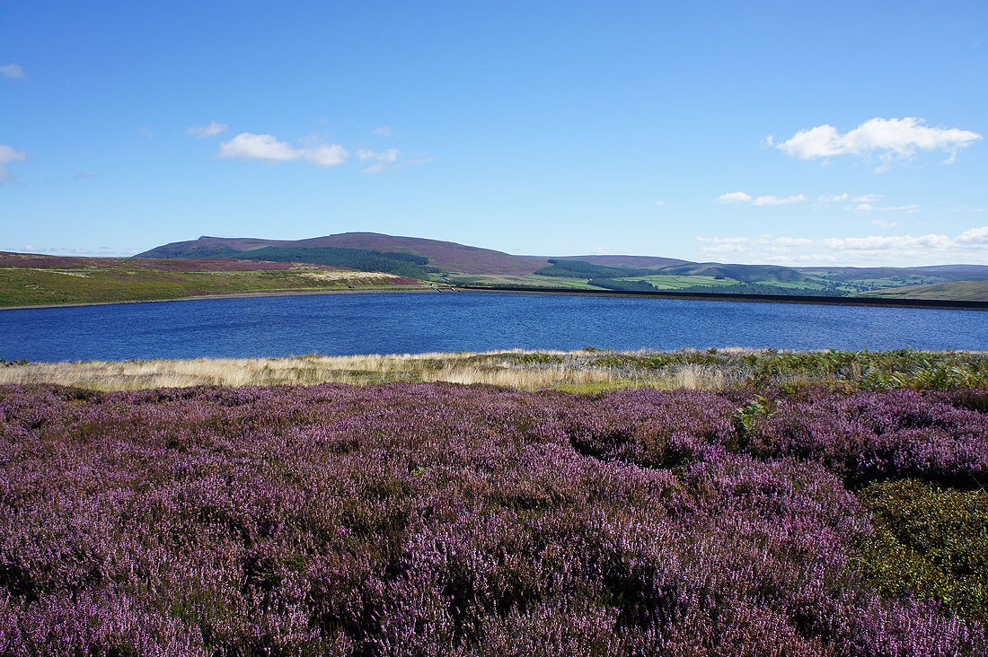
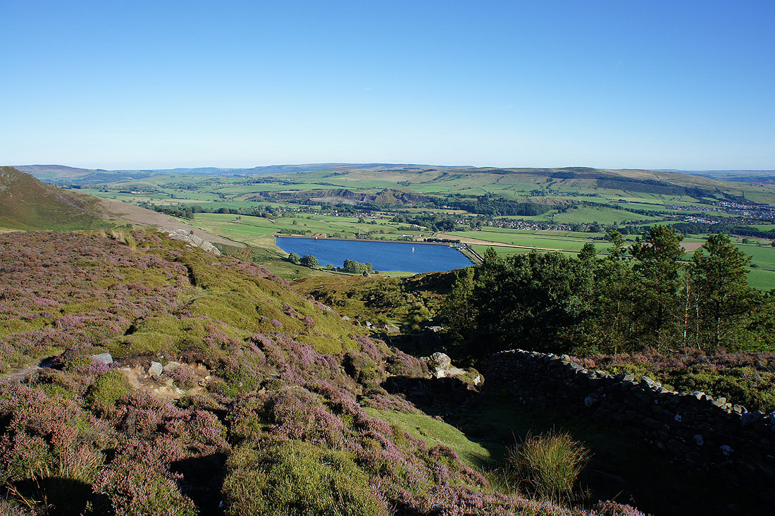
and after crossing the wall I can see Upper Barden Reservoir. That's Round Hill and Beamsley Beacon in the distance behind it.
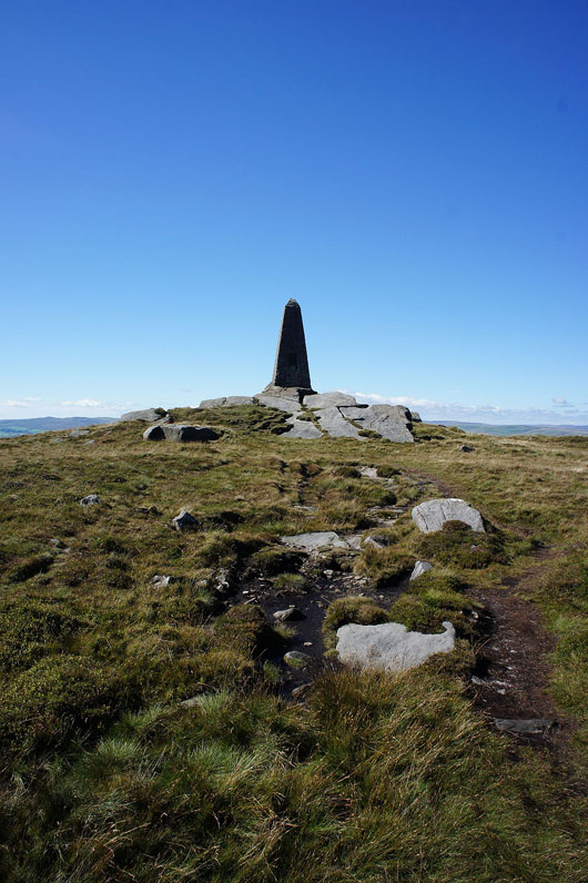
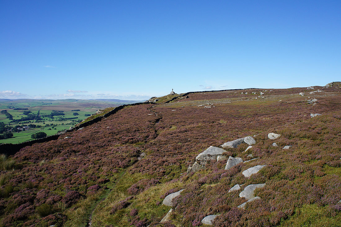
A last look back at the war memorial
Approaching Rylstone Cross and this is where I slipped and fell
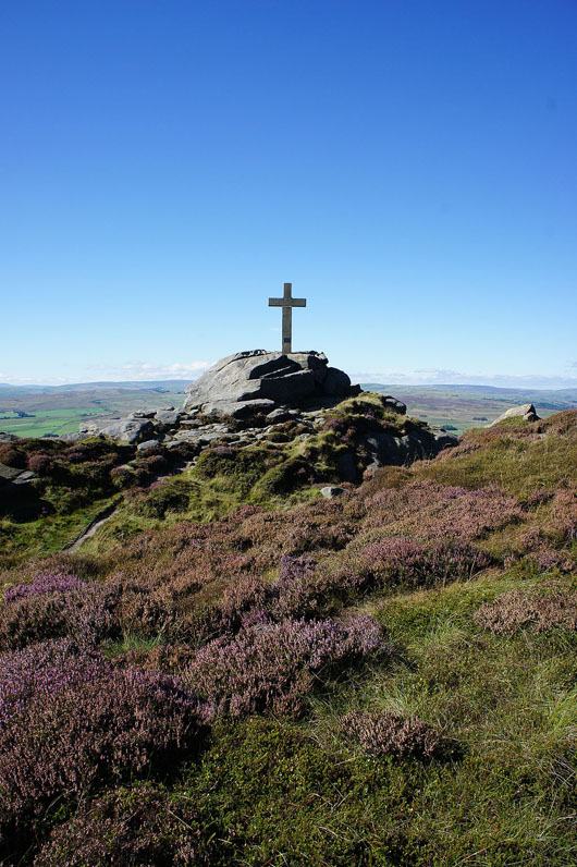
Rylstone Cross perched on its crag. Worth crossing over the wall to visit it.
Looking up the crags to the war memorial
Buckden Pike and Great Whernside in the distance
It's a beautiful second half of the afternoon. Pendle Hill and a long line of Bowland fells to the west.
Looking back to Rylstone Cross
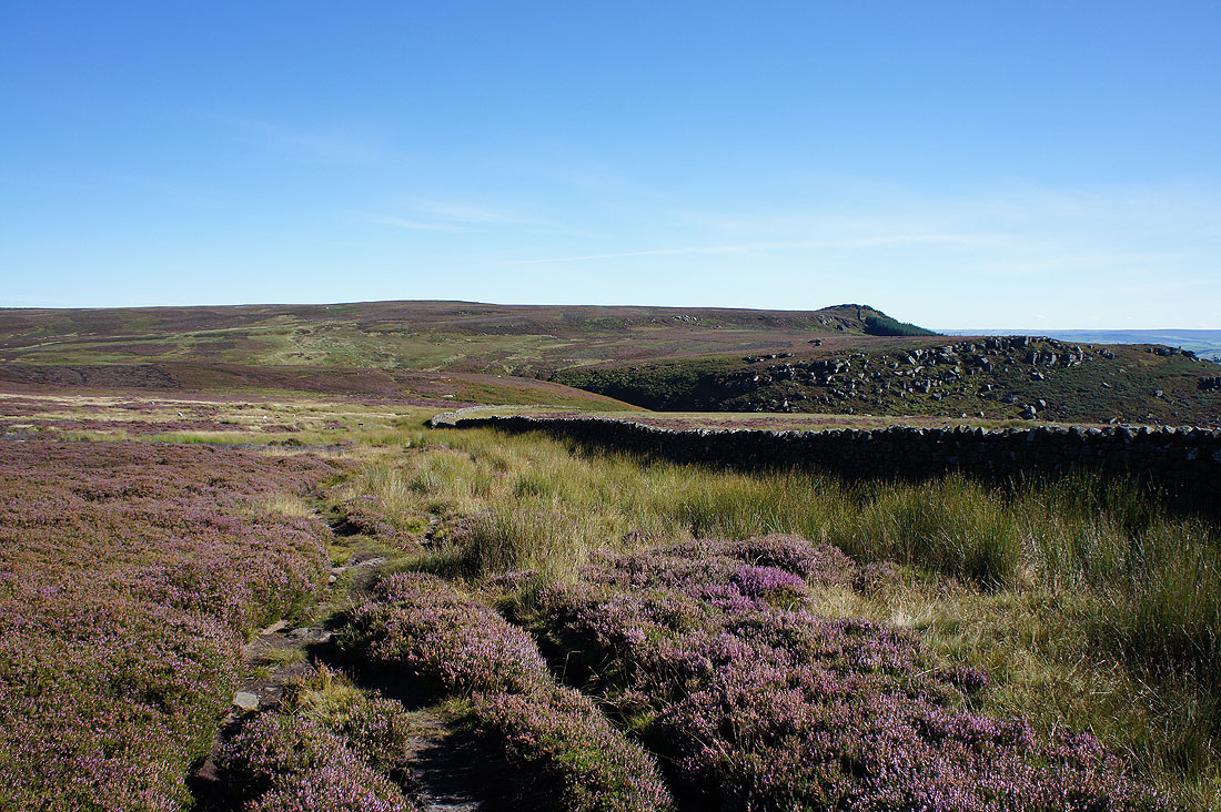
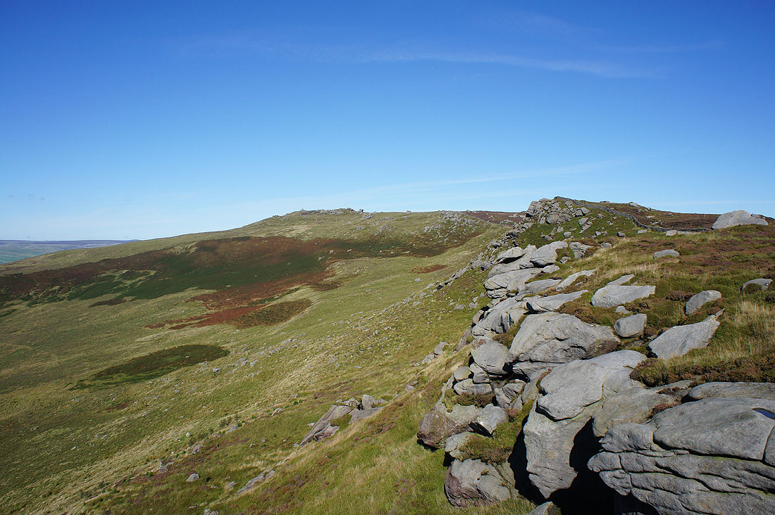
Next stop is Crookrise Crag Top on the right. Unfortunately it's not quite as easy to get to as it looks from here, especially with Waterfall Gill in the way. Just ahead I'll turn left and take the bridleway from Rylstone that crosses the moor.
Blue skies and heather
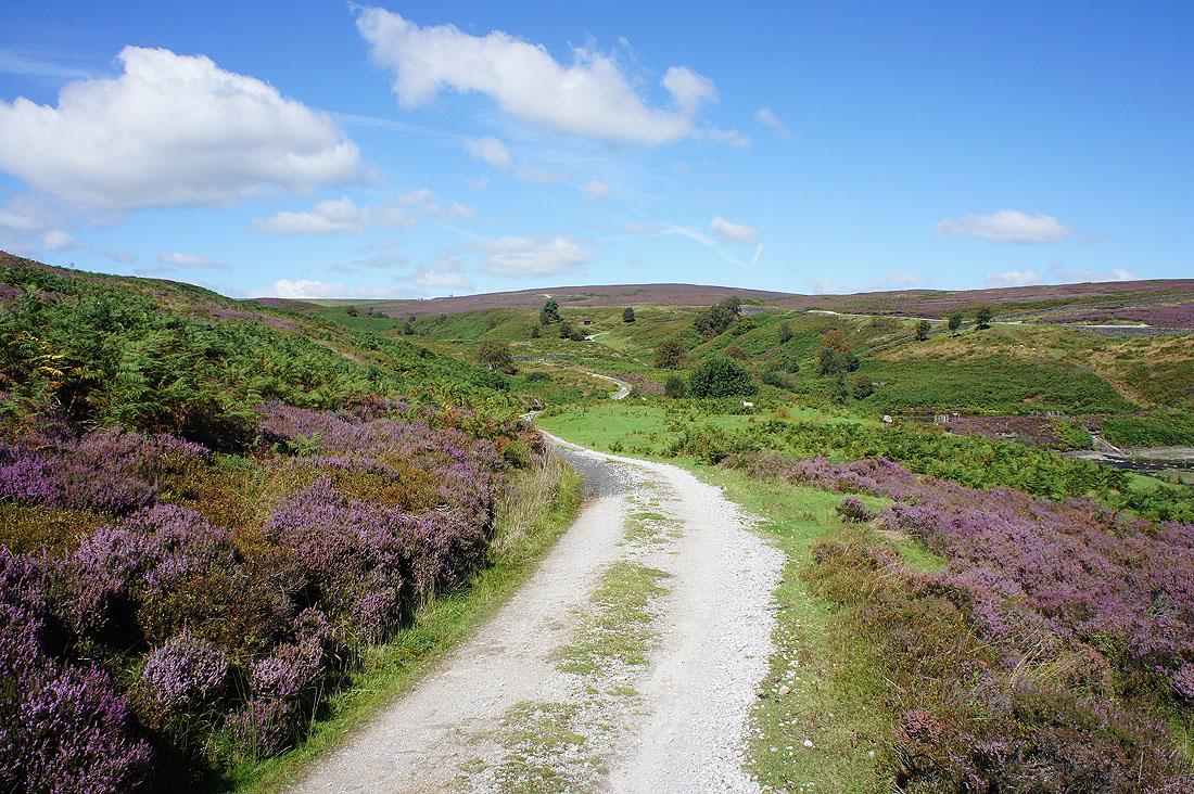
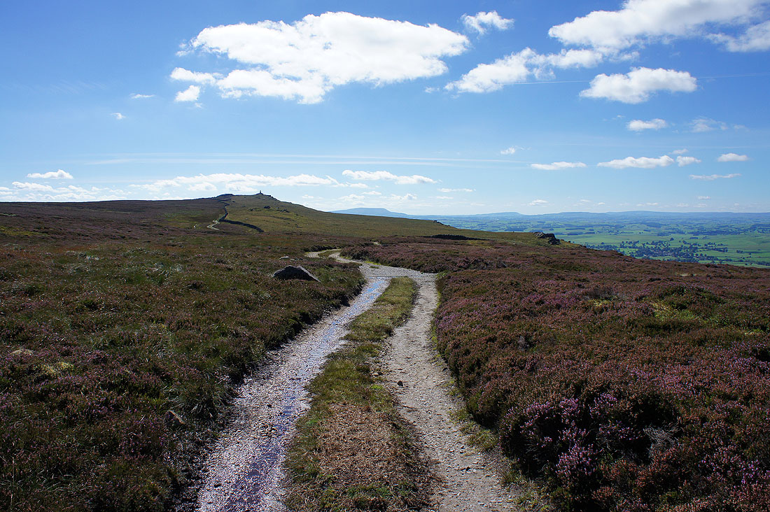
The bridleway was left for this track that crosses Waterfall Gill Beck and heads up onto East Harts Hill
Looking back from East Harts Hill and I can make out the war memorial on the skyline
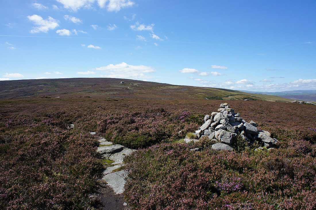
Looking across to Cracoe Fell as I finally make it to the wall on Crookrise Crag Top. I made the mistake of trying a direct route from that track. Following a line of grouse butts for most of the way instead was a better idea.
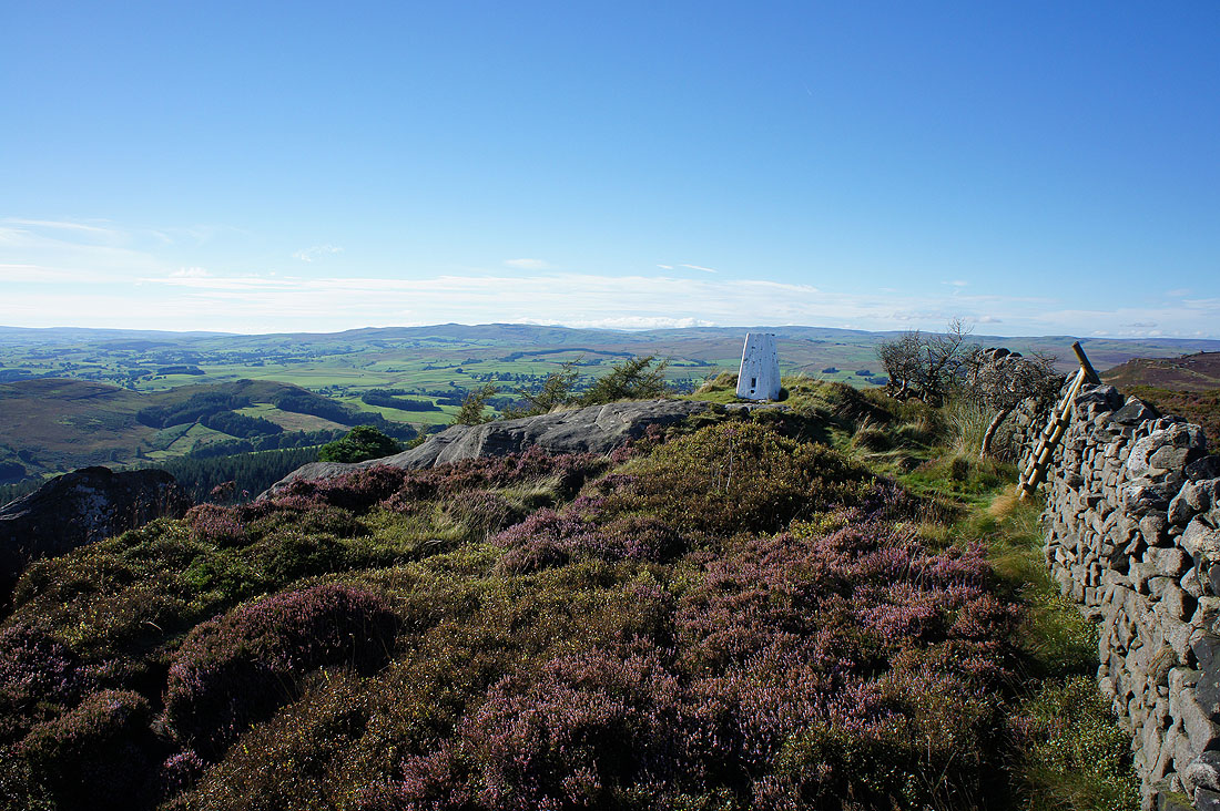
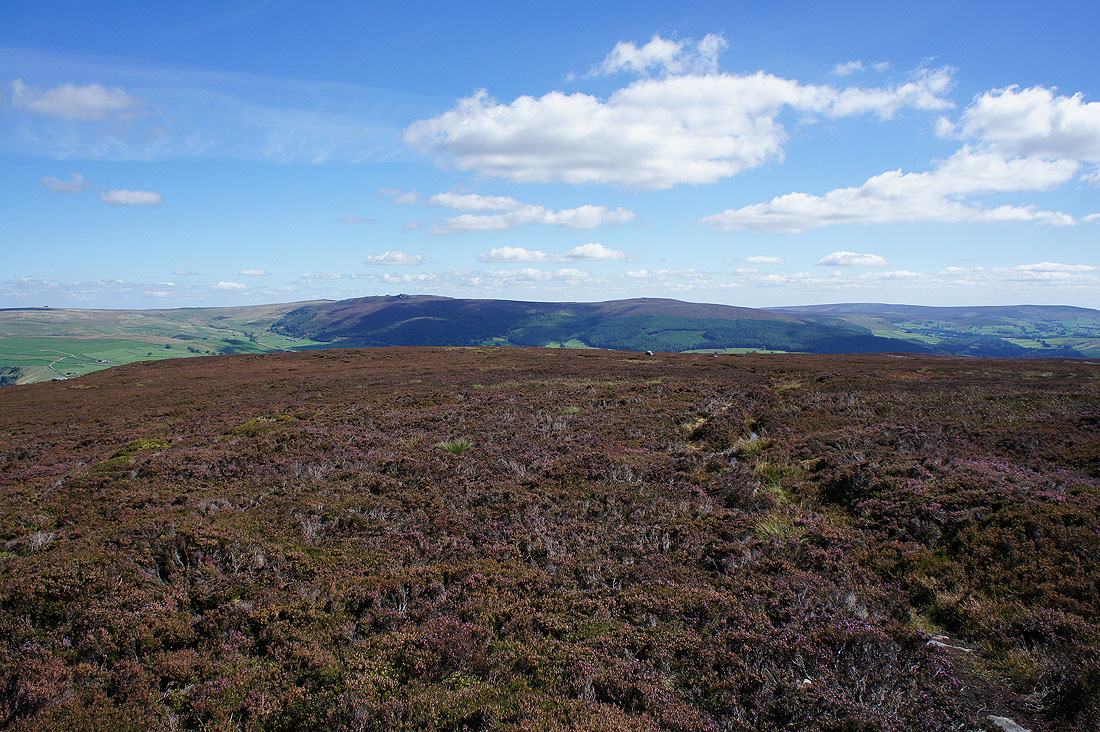
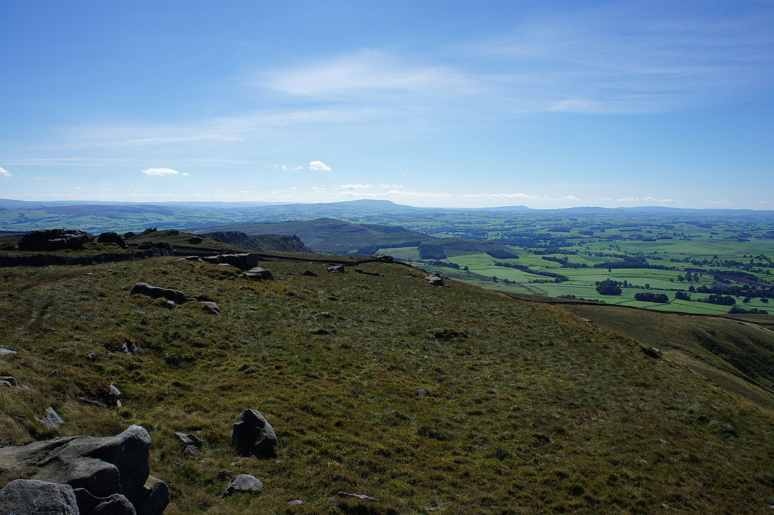
There's a lovely end to the afternoon to take in the view. Behind the trig point are Rye Loaf Hill and Fountains Fell in the distance.
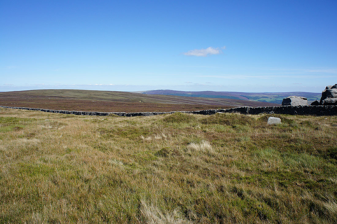
Skipton, Airedale and South Pennines moors
Looking west to Pendle Hill and the fells of the Forest of Bowland beyond the nearby Sharp Haw
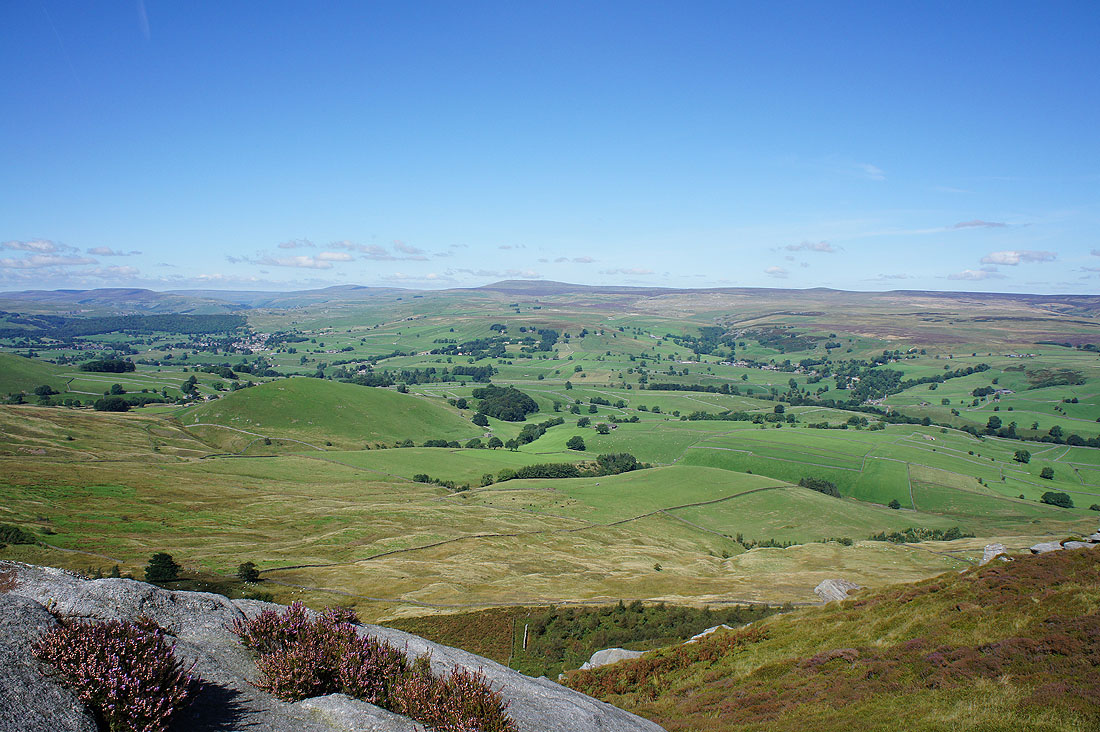
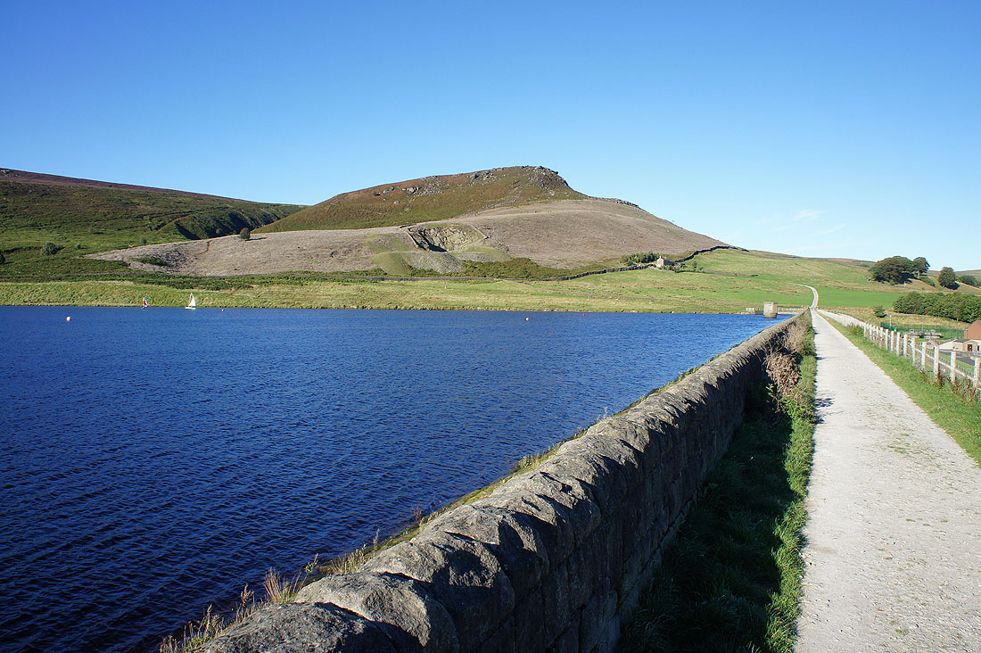
The end is in sight at last as Embsay Reservoir appears below
Embsay Crag above Embsay Reservoir. I still have a walk down to Embsay to finish with.