29th December 2013 - Lose Hill
Walk Details
Distance walked: 8.3 miles
Total ascent: 1531 ft
OS map used: OL1 - The Peak District, Dark Peak area
Time taken: 5 hrs
Route description: Hope Station-Farfield Farm-Killhill Bridge-Lose Hill-Back Tor-Barker Bank-Hollins Cross-Hollowford Road-Castleton-path to Hope-path to Brough-Brough-Hope Station
My final walk of 2013 and a great way to finish the year. The weather has been terrible at times over the Christmas break and it was just good luck that daylight hours today happened to coincide with a lull between storms.
My walk today started from the approach road to the Hope railway station. I crossed the line via the footbridge to then take a couple of field paths to reach the minor road to Aston. I walked up the road to take the driveway to Farfield Farm and then the path under the railway line to Killhill Bridge over the River Noe in Hope. I crossed the Edale Road and then the long gradual ascent to the summit of Lose Hill began. After I'd had my lunch and enjoyed the view from the summit I walked along the ridge to Back Tor and Barker Bank to Hollins Cross. A path and Hollowford Road were followed down into Castleton. I walked by the main road toward Hope for a few hundred yards to take the signed path to Hope and when this ended at a minor road another signed path to Brough. Once in Brough there was just a short walk back to Hope Station.
Route map
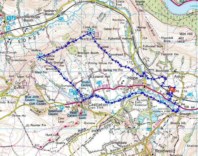
© Crown copyright. All rights reserved. License number PU 100034184.
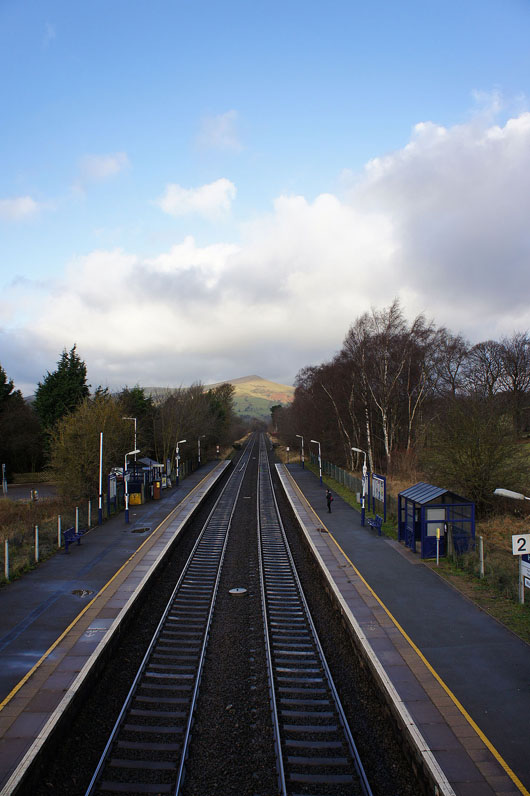
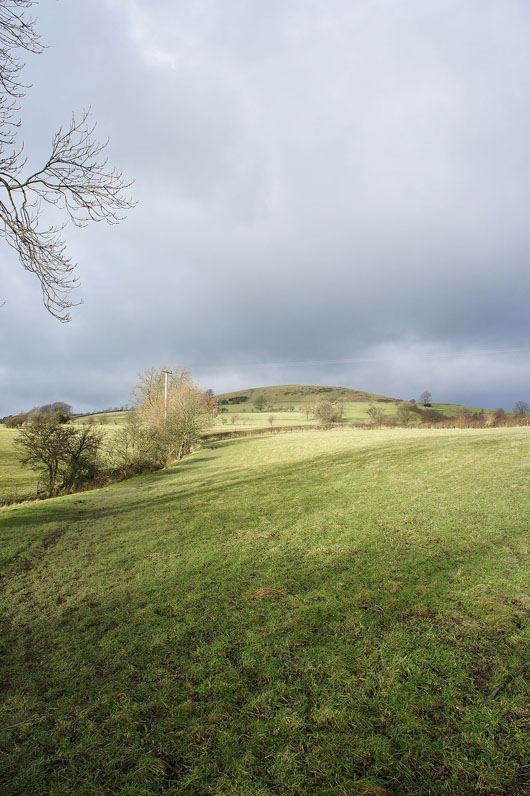
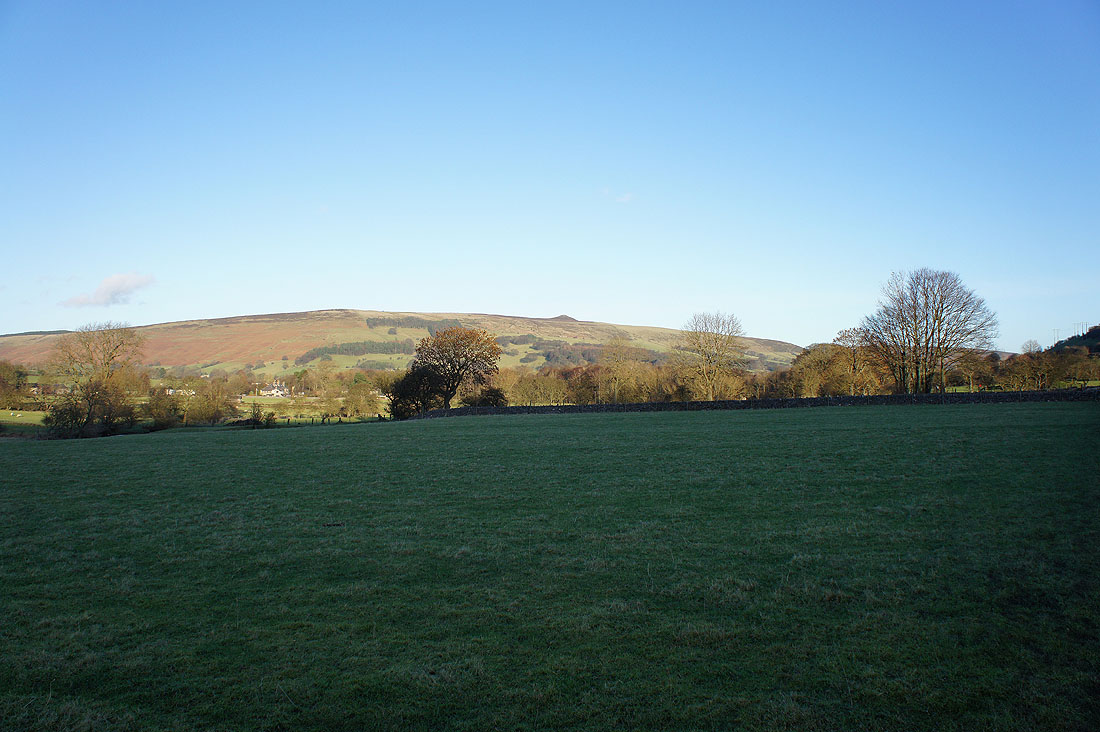
Crossing the railway line at Hope station and that's Lose Hill in the distance
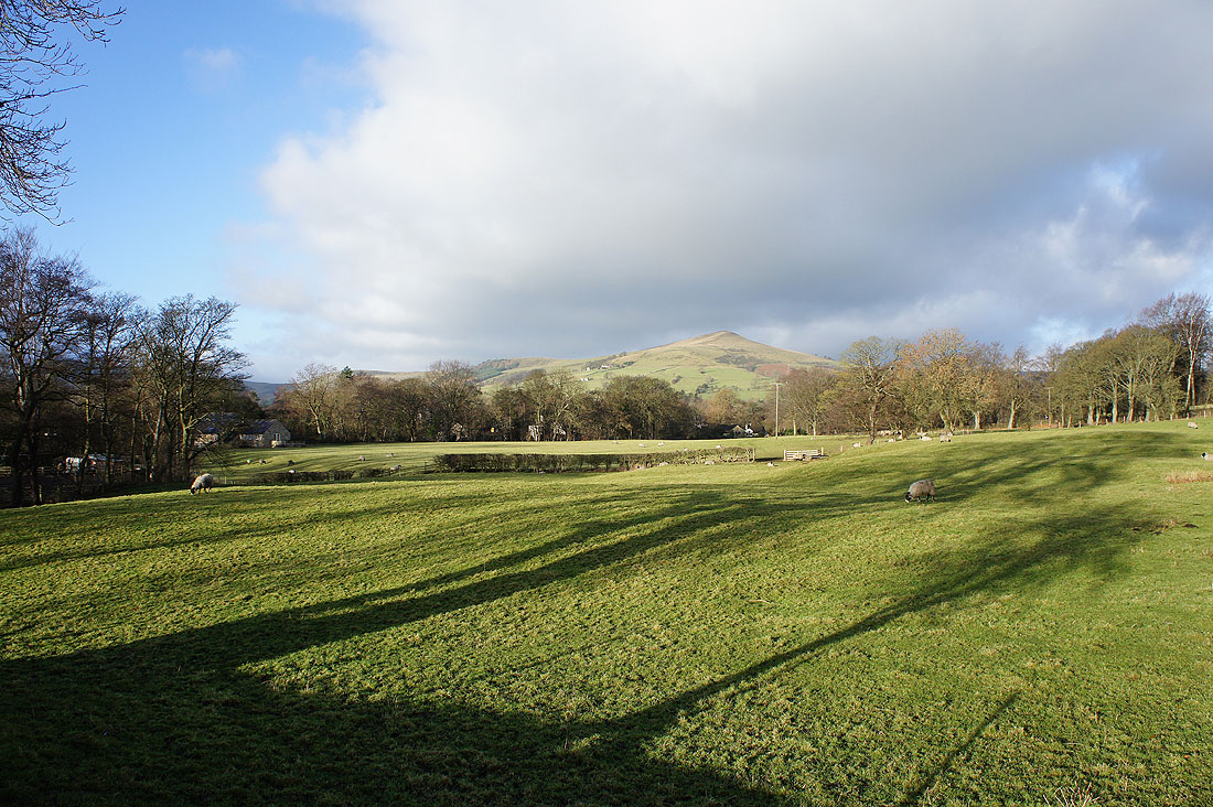
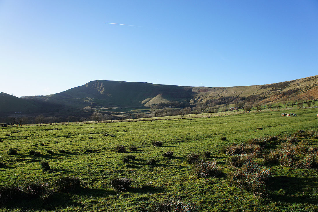
and a better view of my target as I cross fields to reach the Edale Road in Hope
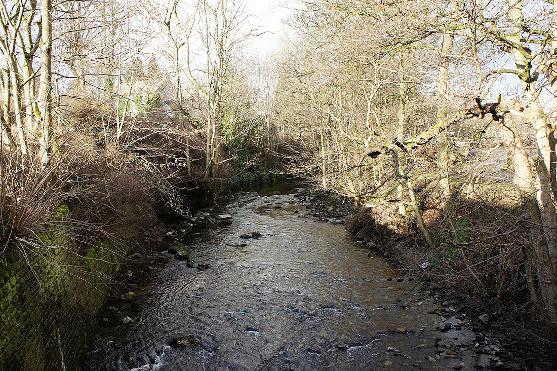
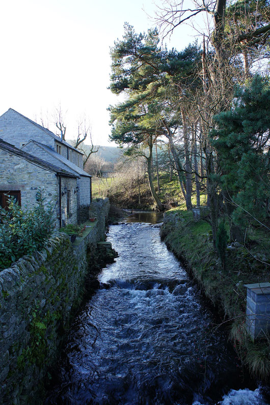
The River Noe at Killhill Bridge in Hope
Heading uphill at last
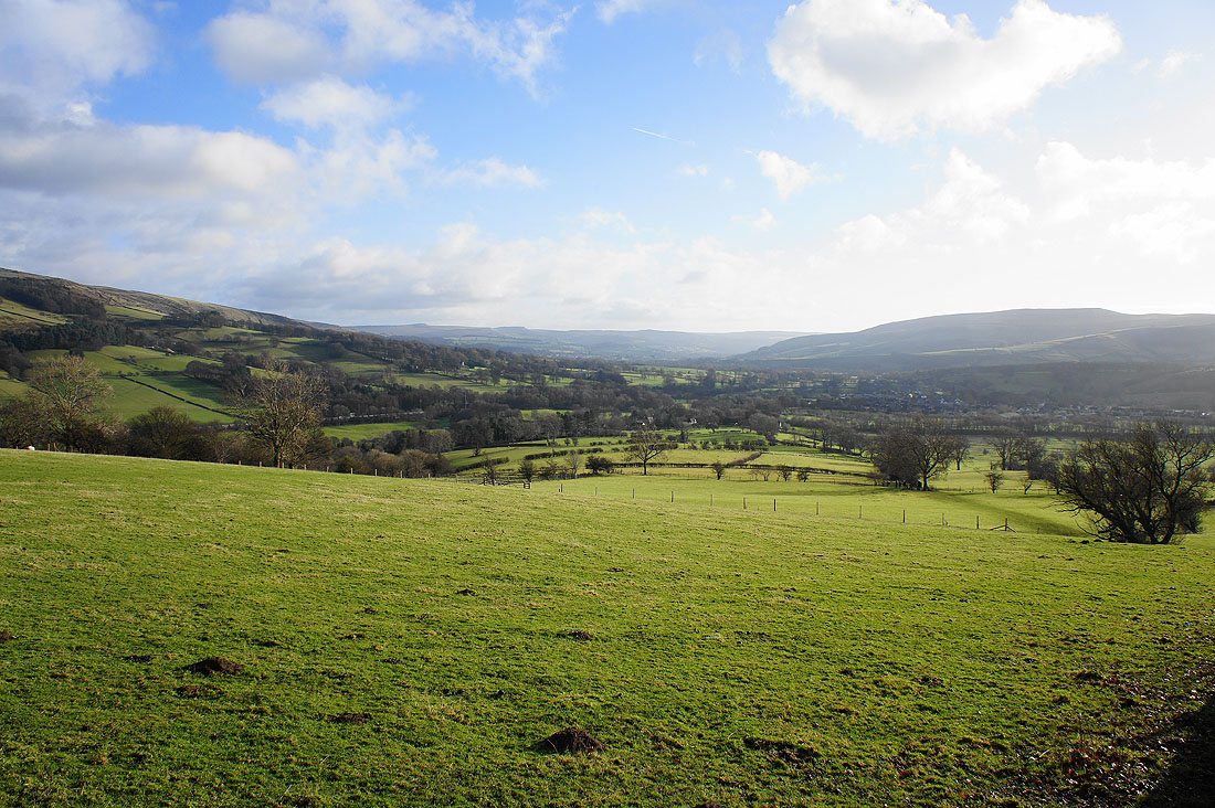
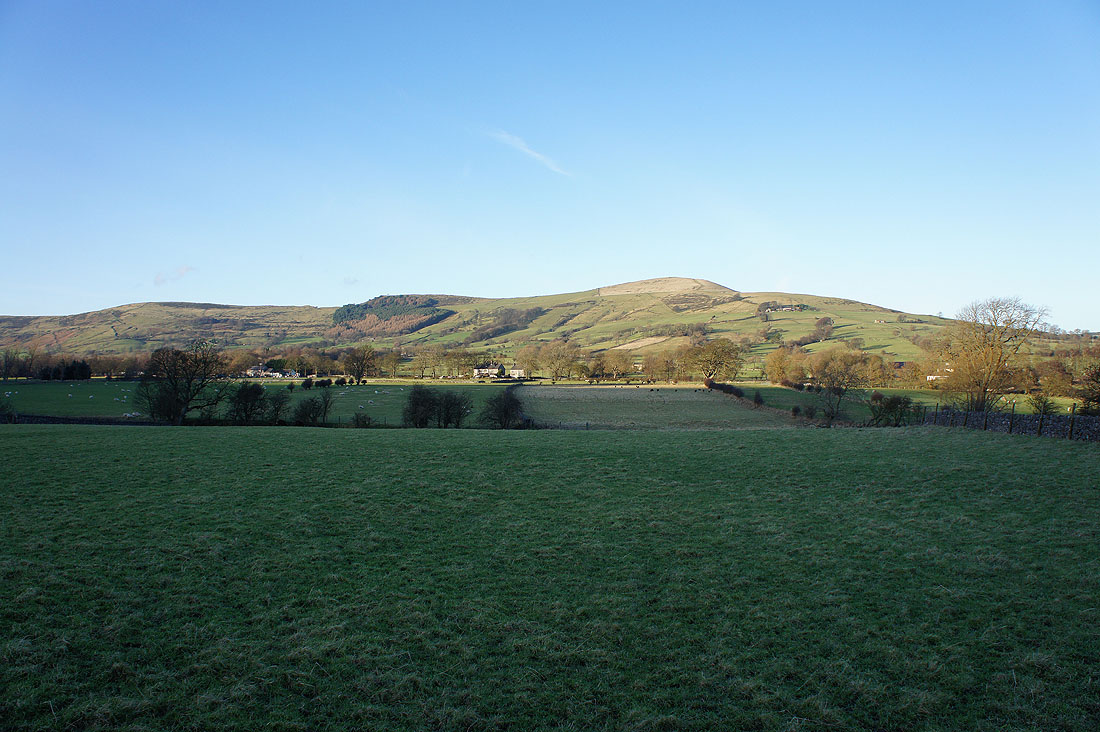
With a bit of height gained there's a great view back down the Hope Valley
and along the ridge to Mam Tor
On the summit of Lose Hill. The Hope Valley below bounded by Win Hill on the left and Shatton Moor on the right.
Win Hill with the moorland of Stanage Edge in the distance
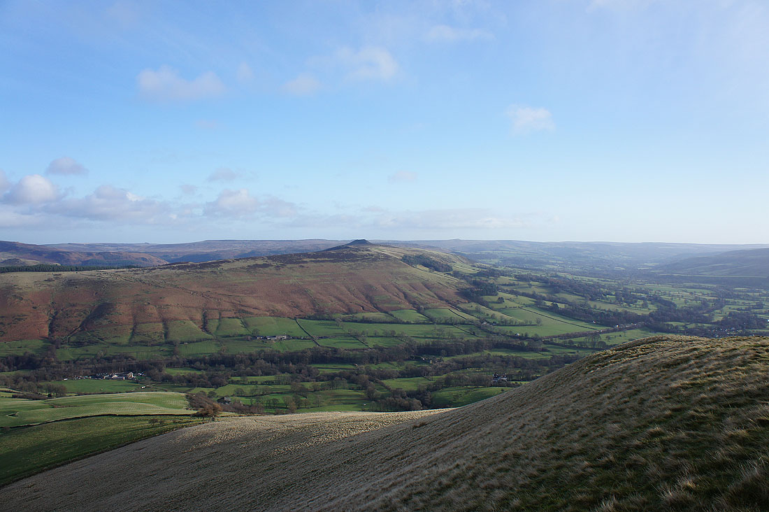
Looking across Bridge-end Pasture to Back Tor and Derwent Edge
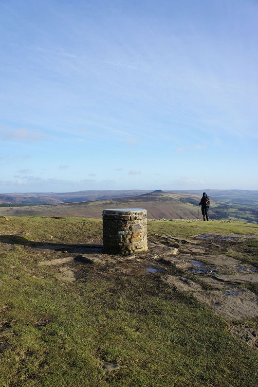
The toposcope on the summit of Lose Hill
Grindslow Knoll and the southern slopes of Kinder Scout
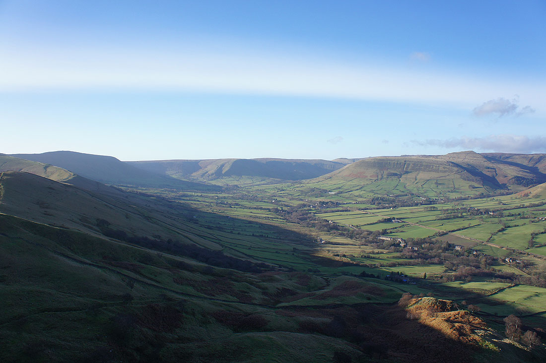
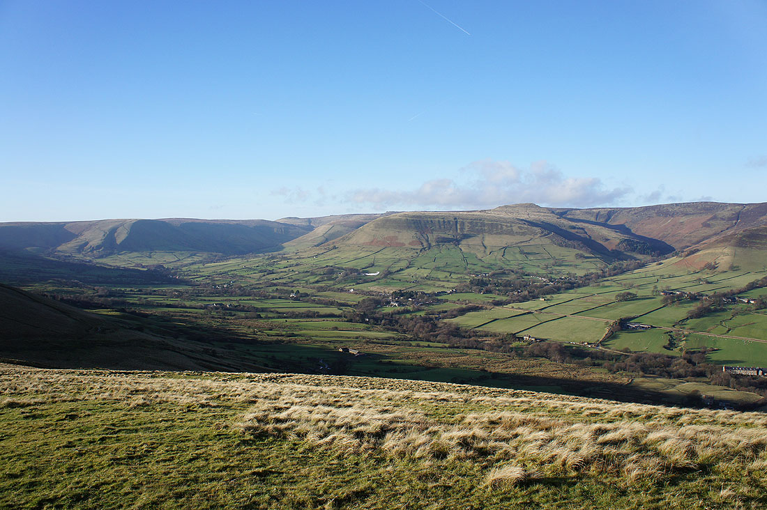
A fantastic view of the Vale of Edale
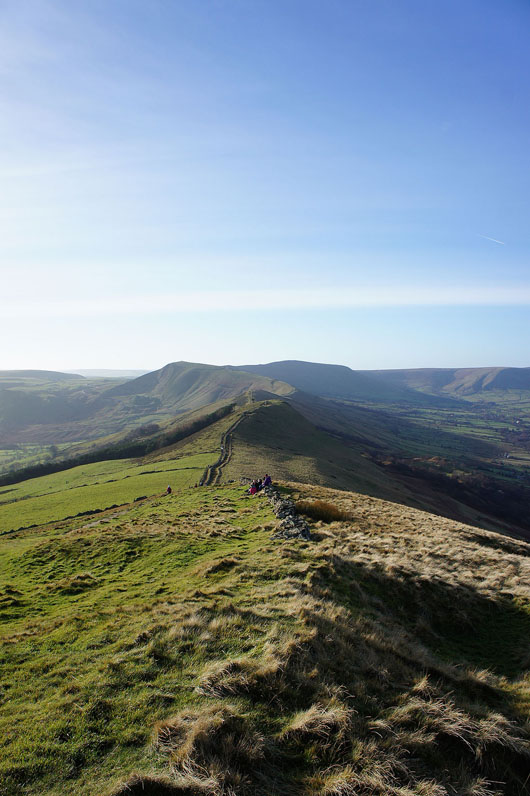
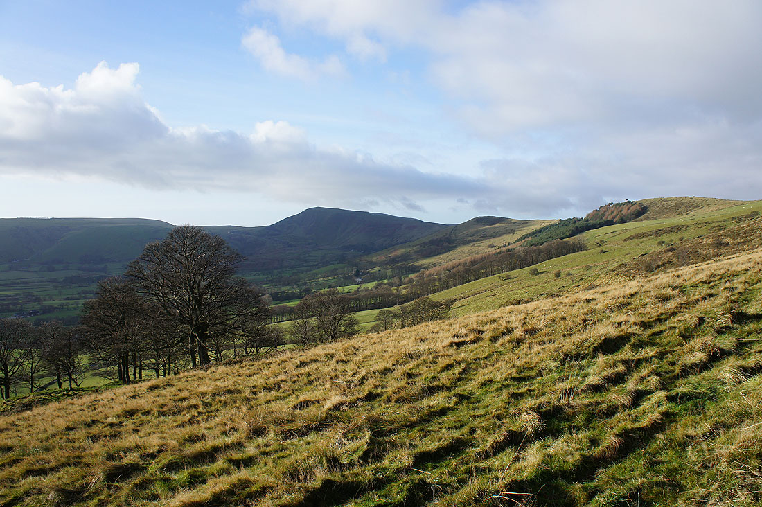
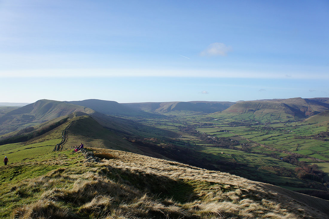
The Great Ridge stretches ahead to Back Tor, Barker Bank, Mam Tor and Lord's Seat
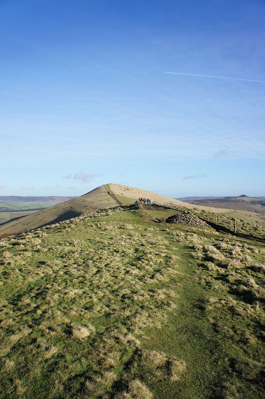
On my next stop of the day, Back Tor. Looking back to Lose Hill.
and ahead to Barker Bank, Mam Tor and Lord's Seat
The Vale of Edale from Back Tor
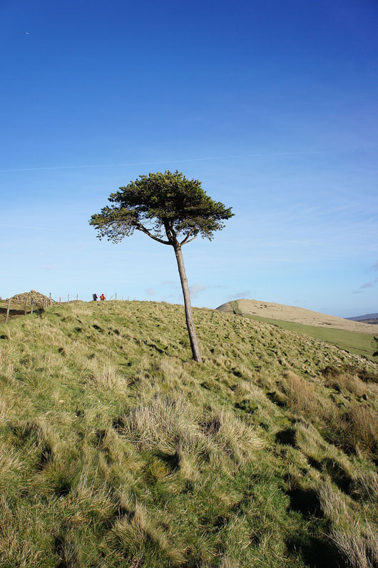
On the trail of the lonesome pine
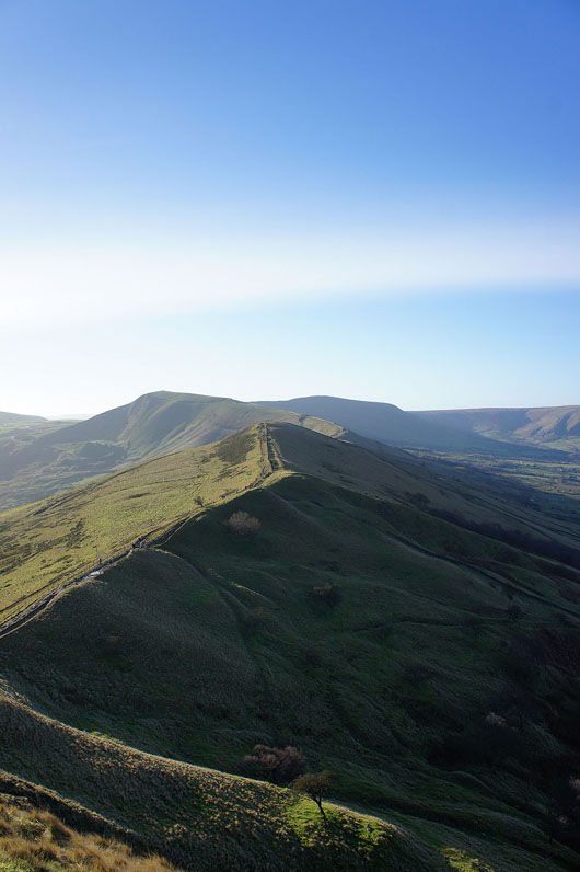
Back Tor and Lose Hill from Barker Bank
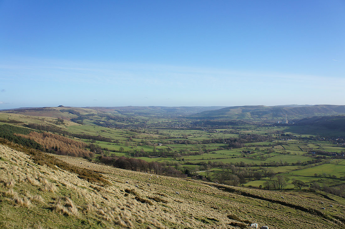
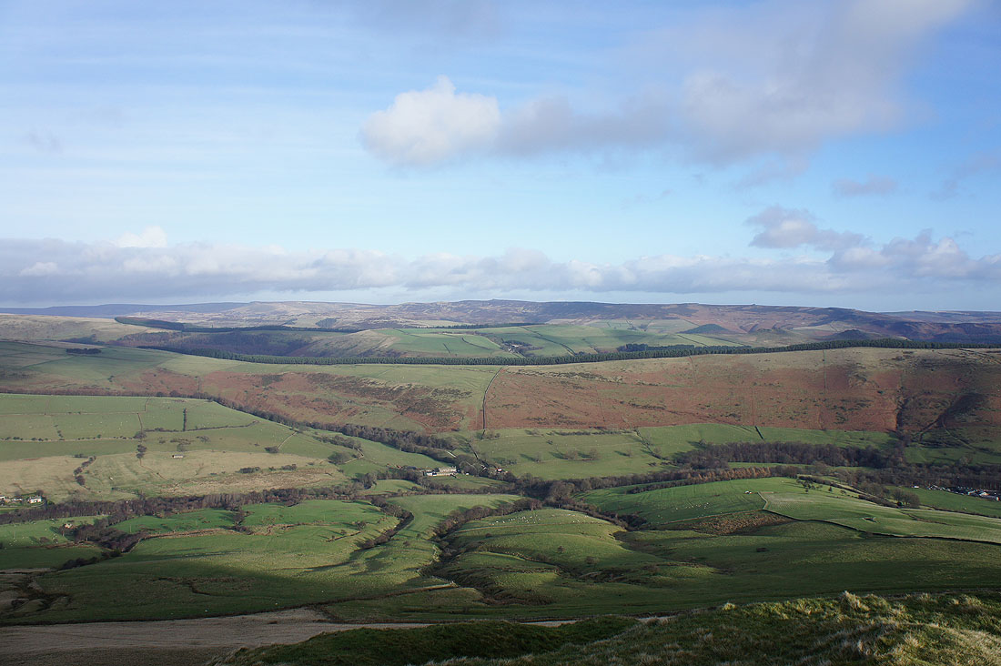
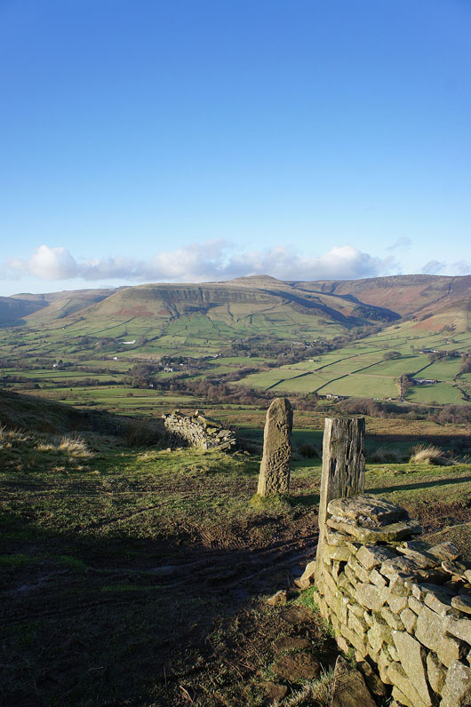
A great view of the Hope Valley
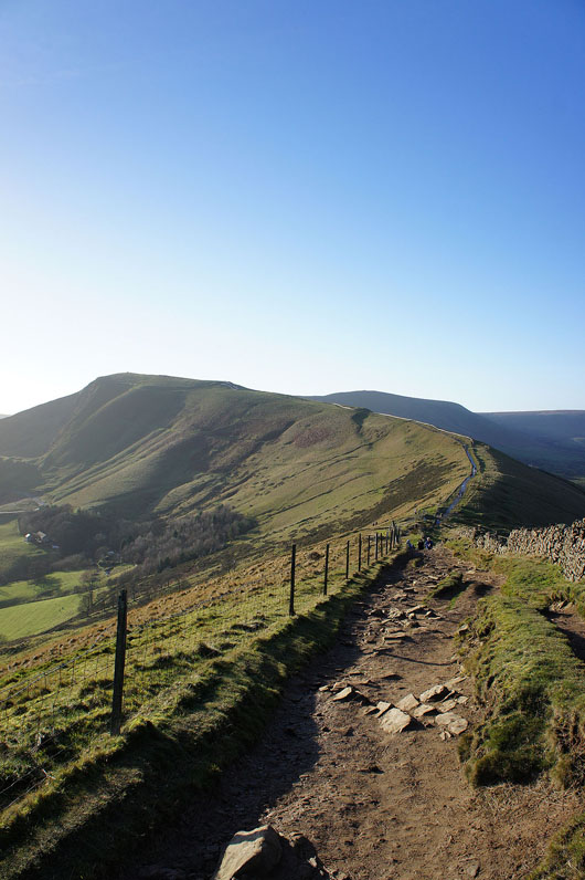
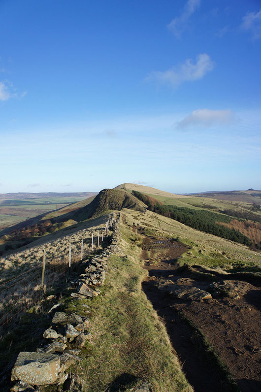
The path continues to Mam Tor
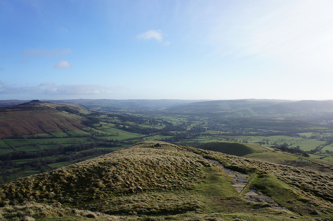
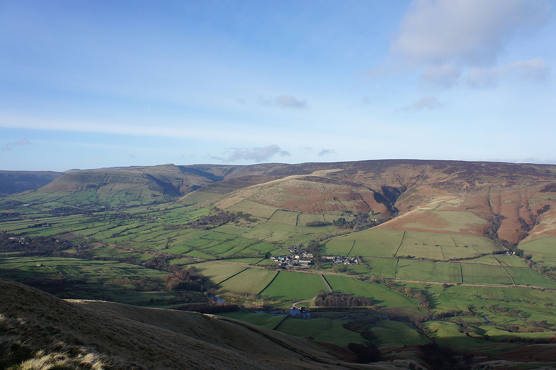
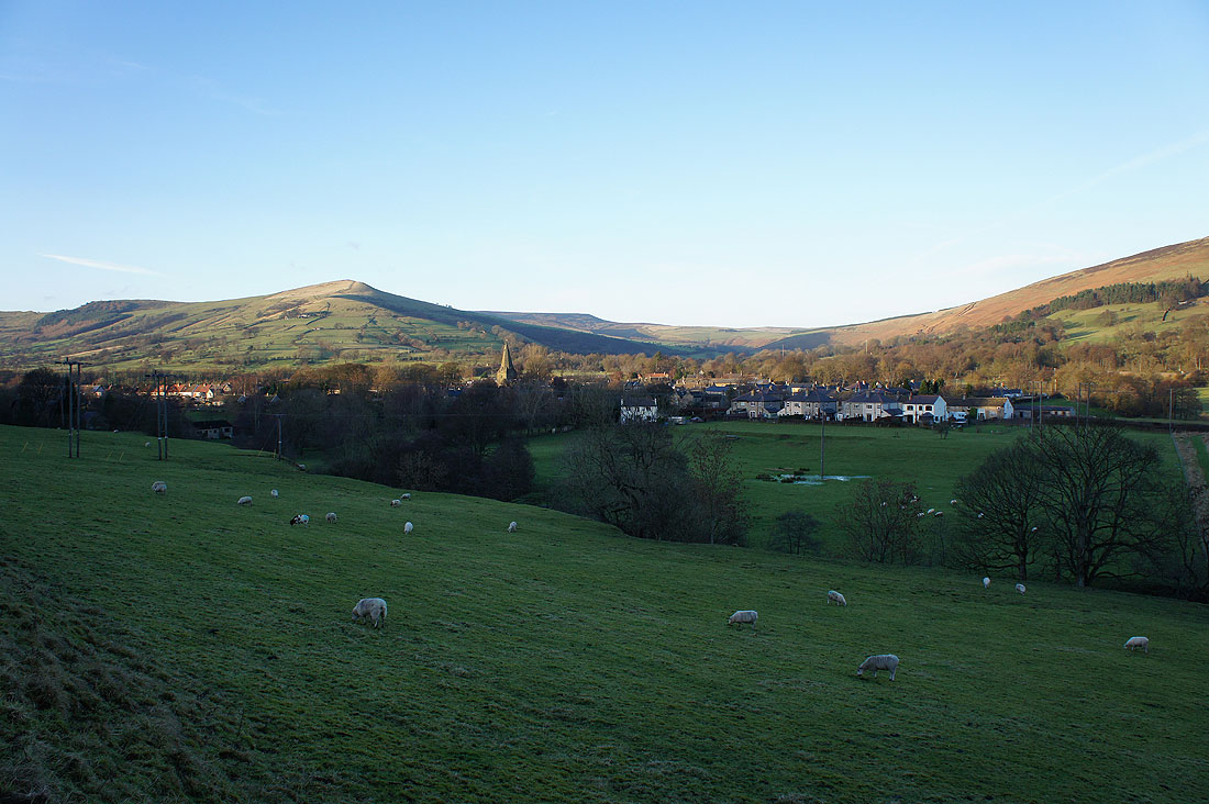
At Hollins Cross where my ridge walk finishes. The Vale of Edale below.
The village of Edale below Grindslow Knoll
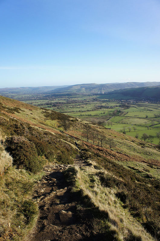
Starting the descent to Castleton
Mam Tor from Hollowford Road
The brook of Odin Sitch in Castleton. Interesting name!
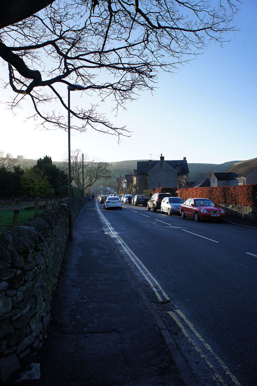
Looking back along the main road in Castleton as I take the path to Hope
A few shots from the path to Hope. Mam Tor behind Castleton.
Win Hill
and the ridge of Barker Bank, Back Tor and Lose Hill
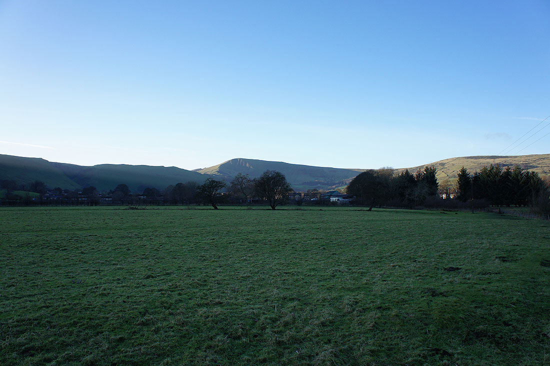
The village of Hope below Lose Hill. I didn't go through the village but continued along the path above the valley bottom to Brough.
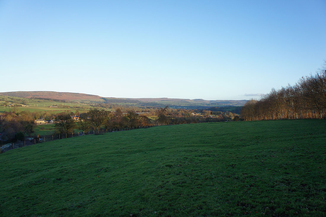
The moorland of Stanage Edge on the skyline
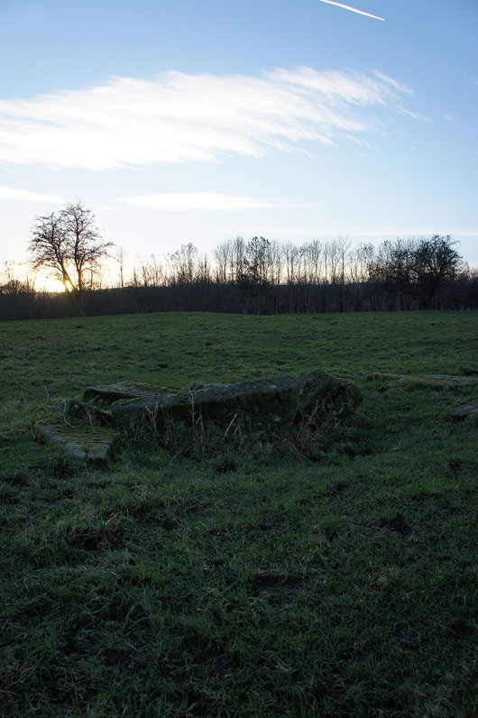
The tooled stones at the centre of the Navio Roman Fort. It would be quite easy to walk through and not notice that it was there.
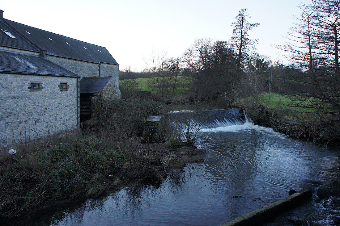
The final shot of the day is of the weir on the River Noe in Brough