29th December 2018 - Thieveley Pike
Walk Details
Distance walked: 6.4 miles
Total ascent: 966 ft
OS map used: OL21 - South Pennines
Time taken: 3 hrs
Route description: Crown Point Road-White Hill-Rossendale Way-Pennine Bridleway-Deerplay Moor-Thieveley Pike-Dean Scout-Buckley Wood-Black Clough-Stone House Edge-Cow Side-Pennine Bridleway-White Hill-Crown Point Road
It's long way from being the perfect winter's day but at least the sun is out after days of grey skies and gloom. It's also very windy so I decided to stay local and do a walk just a few miles from home across the moors at the northern end of Rossendale. I've been to the summit of Thieveley Pike several times but this was a new way to reach it and was a nice way of spending a few hours getting some fresh air and exercise and admiring the winter colours of the moors.
After parking in the layby on Crown Point Road I crossed the road and took the footpath, track and bridleway across White Hill to a crossroads of bridleways where I turned left and took the trail of the Rossendale Way. I soon reached another bridleway junction where I turned left again and took the Pennine Bridleway. I followed this east across the B6238 and then the A671 where I left it and took the bridleway east across Deerplay Moor to the trig point on Thieveley Pike. After a break for lunch I took the path north down the moor to Dean Scout and then the path west through Buckley Wood, across Black Clough and then up and over Stone House Edge. At the western end of Stone House Edge I took the path south to and past Cow Side to reach the Pennine Bridleway which I followed back to the B6238. After crossing the road I used a woodland trail path on the right to get back to the layby on Crown Point Road.
Route map
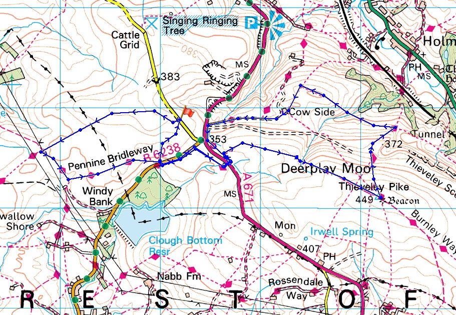
© Crown copyright. All rights reserved. License number PU 100034184.
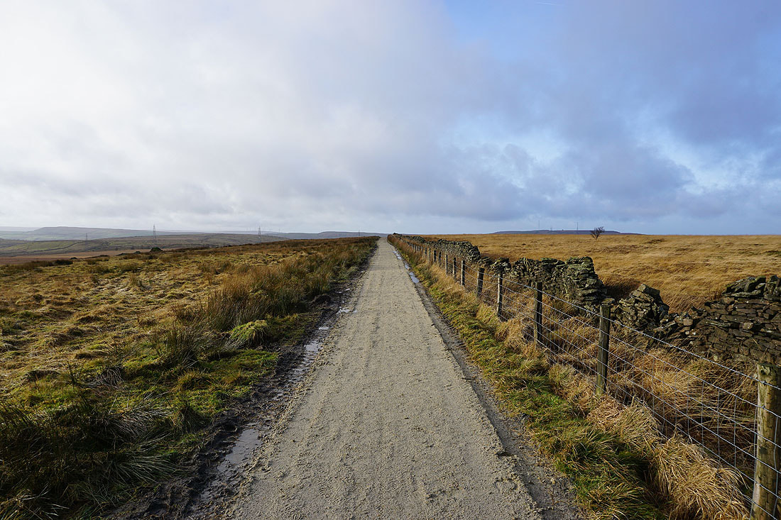
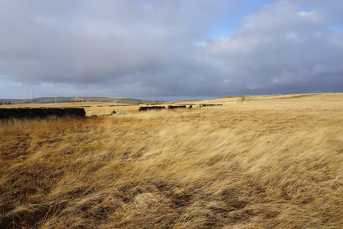
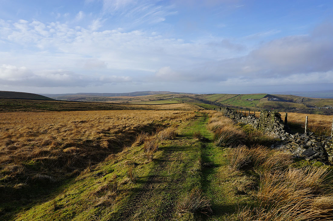
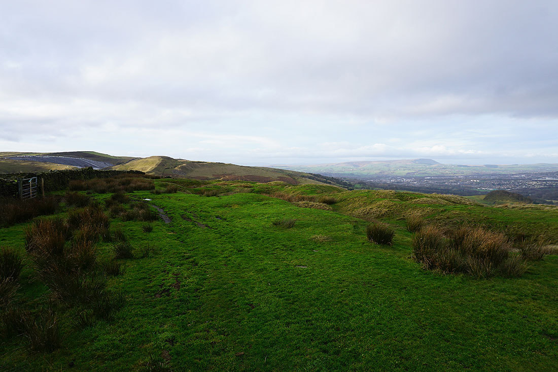
On the track across White Hill after leaving the layby on Crown Point Road
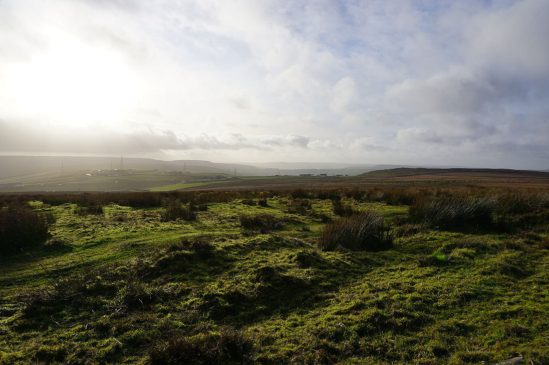
Looking south across Rossendale
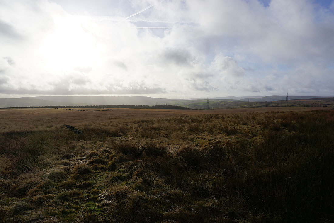
A bit further on and the view opens up to the moorland on the western side of Rossendale
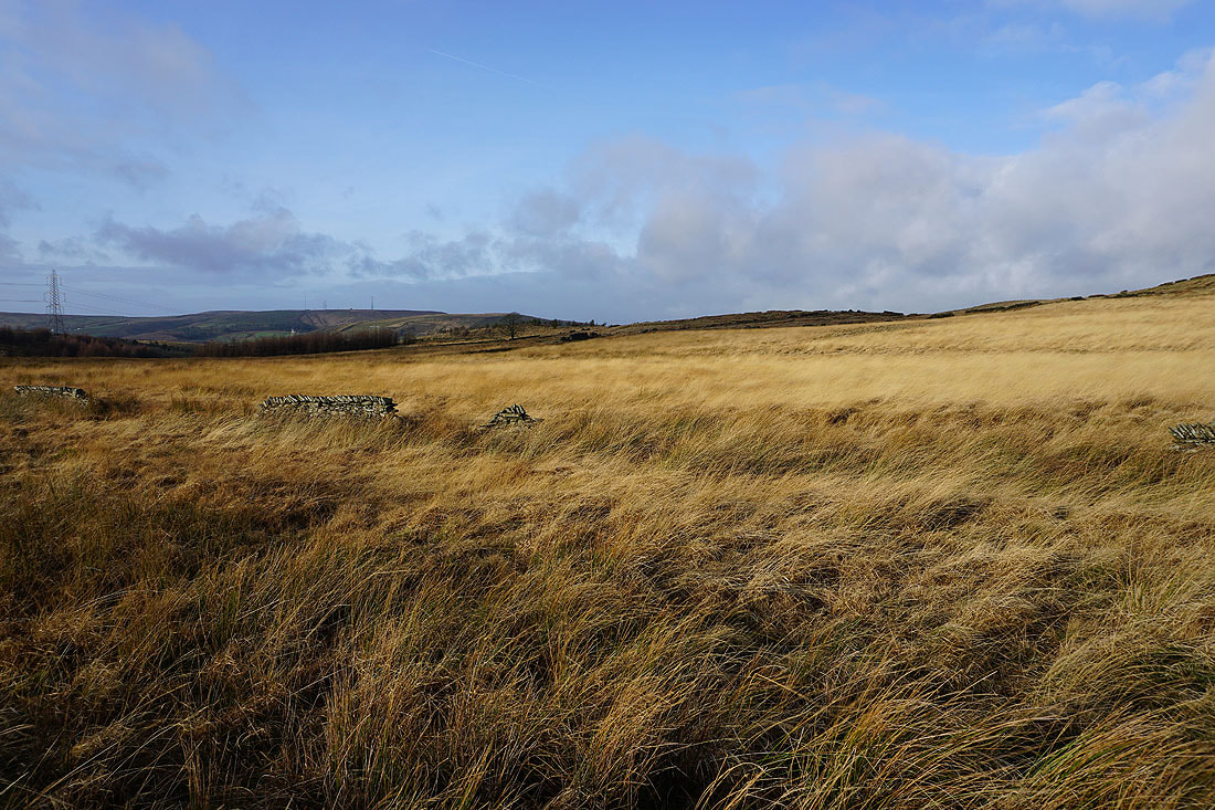
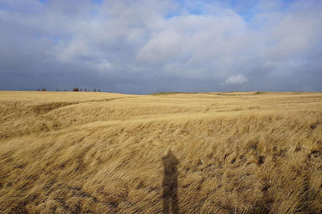
The sunshine brings out the winter colours of the moors
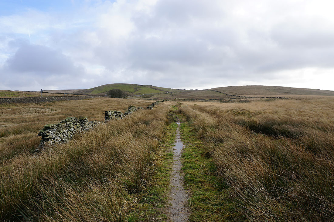
Looking back along the bridleway to White Hill
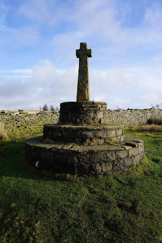
Compston's Cross. At a junction of pack-horse trails.
On the trail of the Rossendale Way
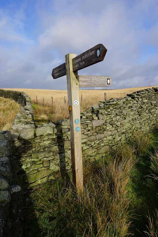
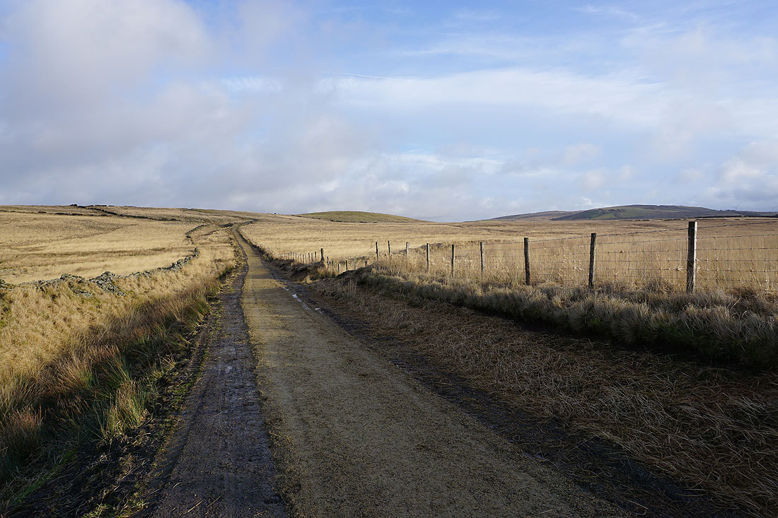
Joining the Pennine Bridleway
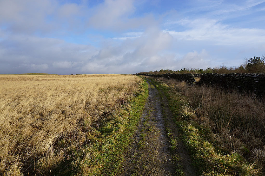
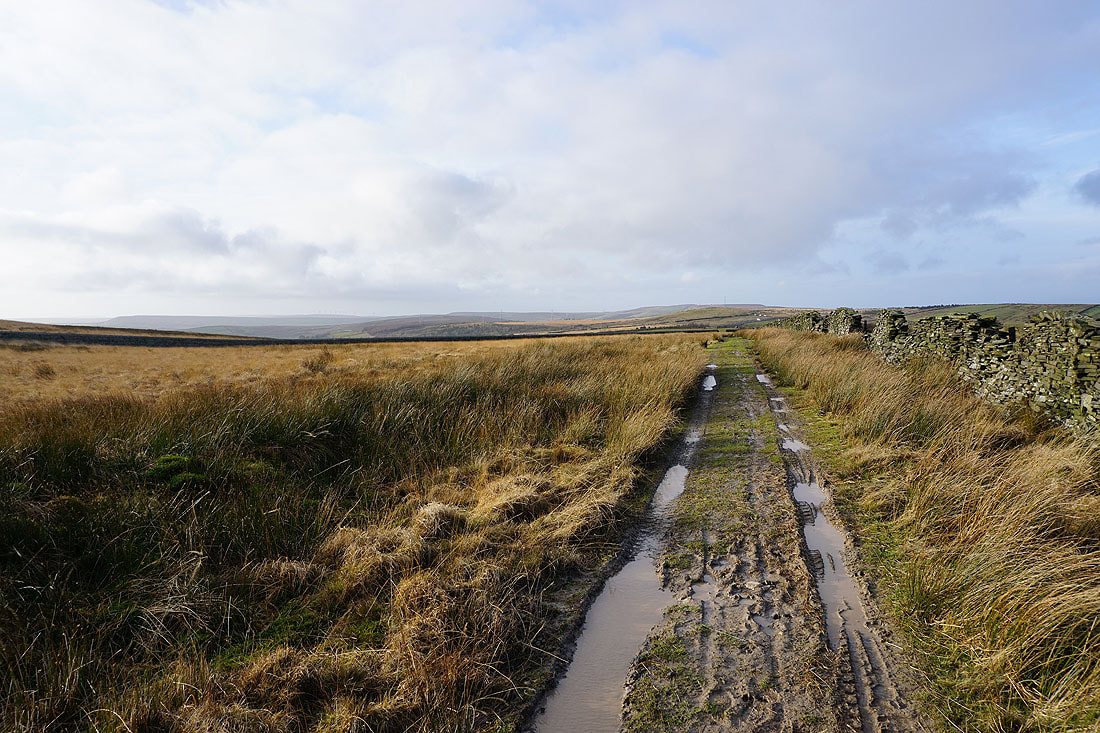
Great moorland colours as I follow the bridleway towards Burnley Road....
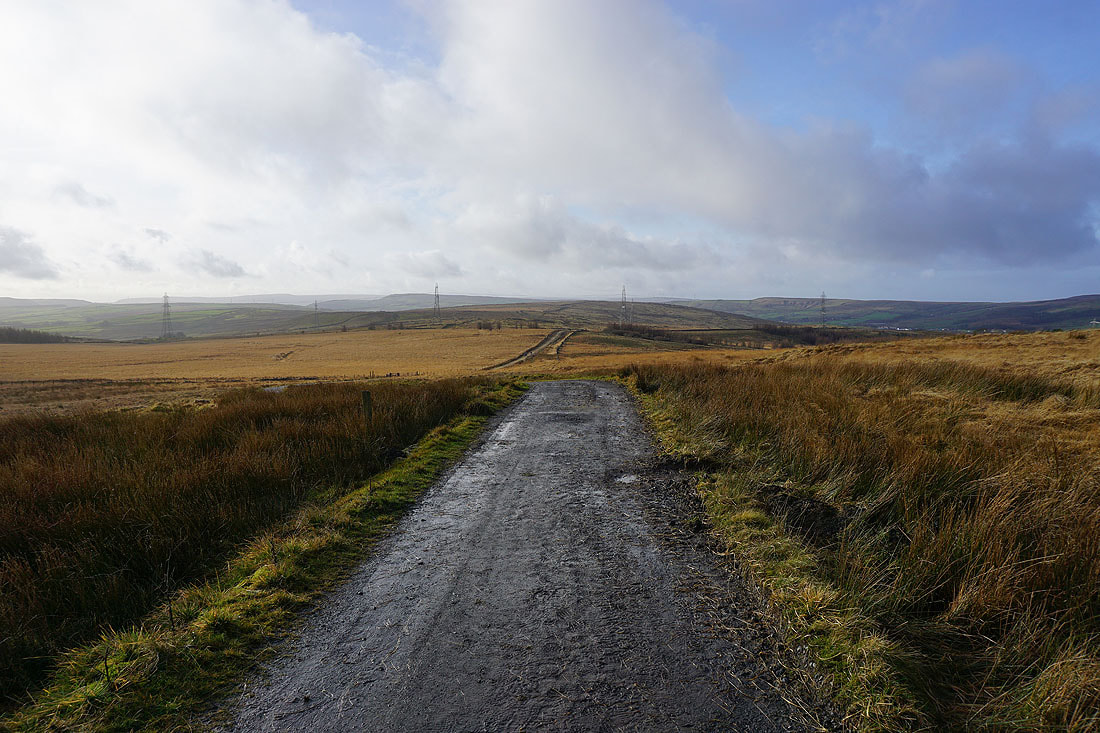
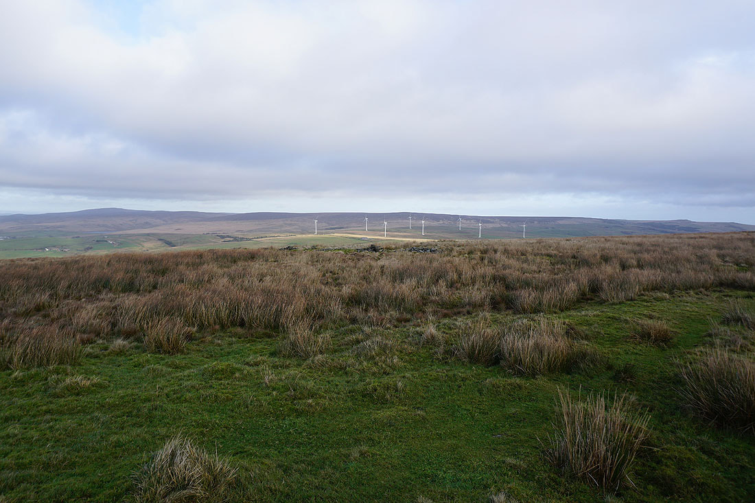
Deerplay Moor ahead
Looking back to the moorland that I've walked across with Hameldon Hill in the distance from the bridleway onto Deerplay Moor
Crossing the top of Black Clough with Boulsworth Hill in the distance
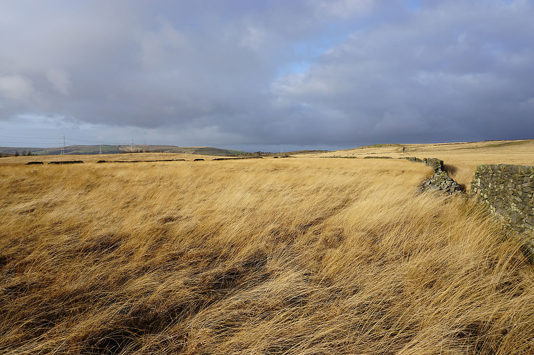
Hameldon in the distance to the west from Deerplay Moor
and Pendle Hill to the north
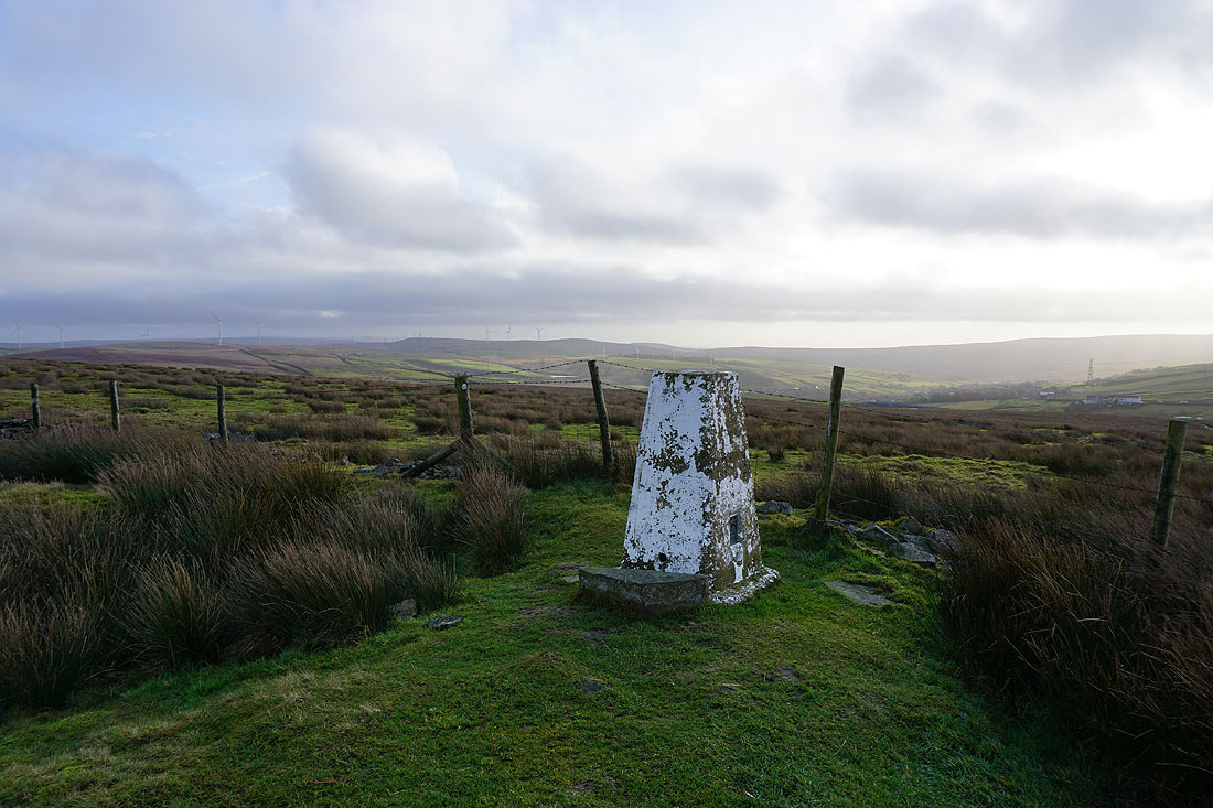
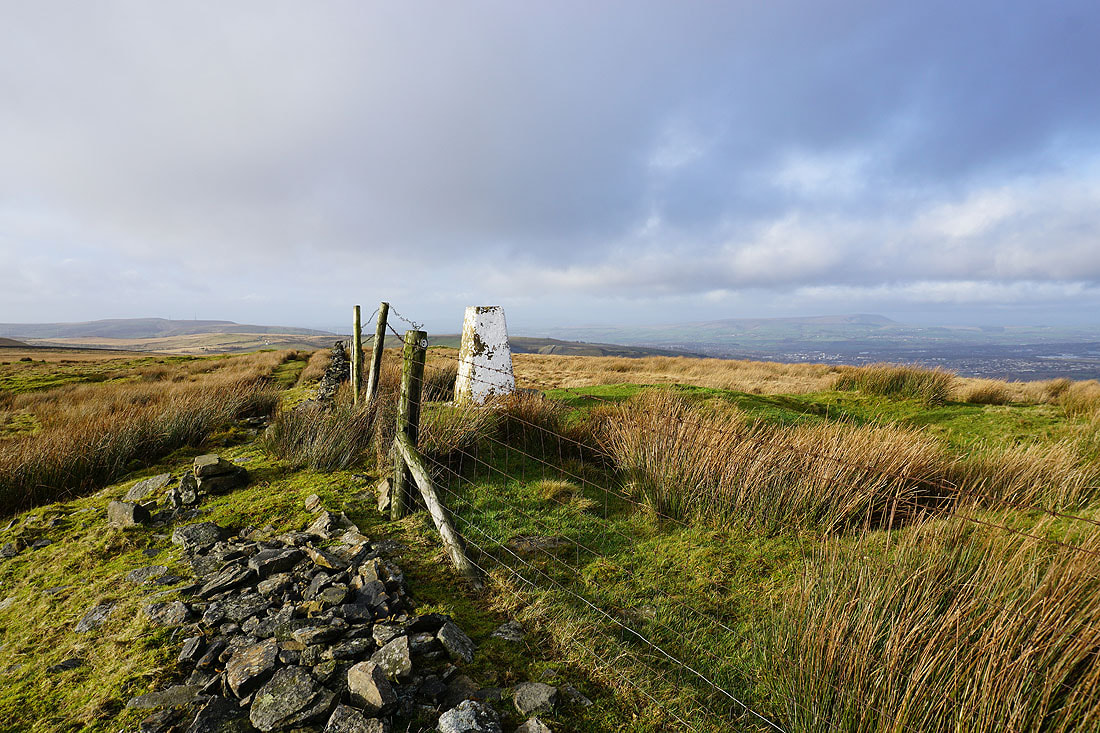
At the trig point on Thieveley Pike
Boulsworth Hill on the left across to Bride Stones Moor on the right
Hameldon Hill on the left and Pendle Hill on the right
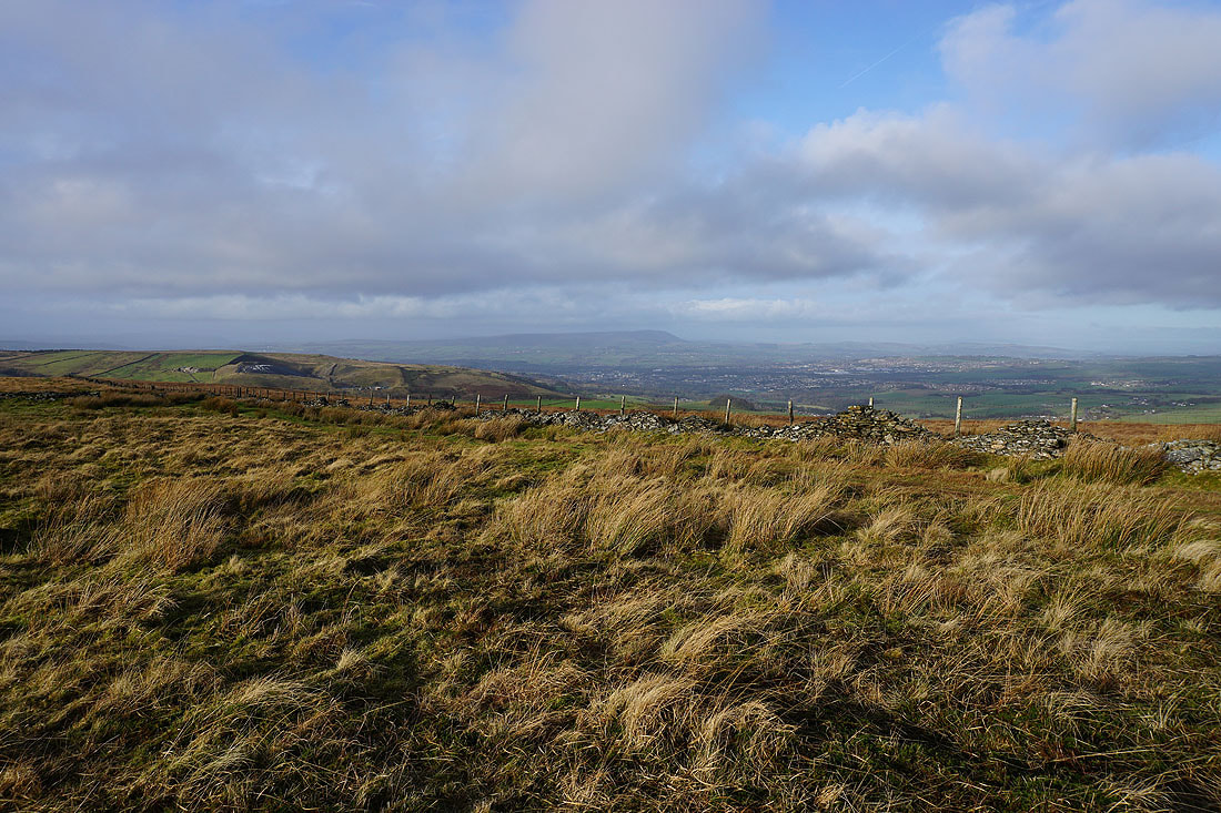
Looking across Rossendale
Deerplay Moor to Hameldon Hill as I leave Thieveley Pike
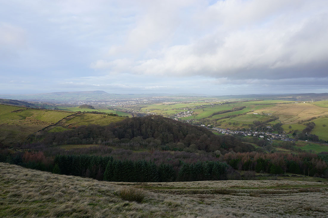
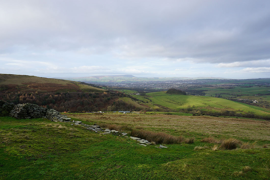
Pendle Hill and Burnley with Buckley Wood and Holme Chapel below
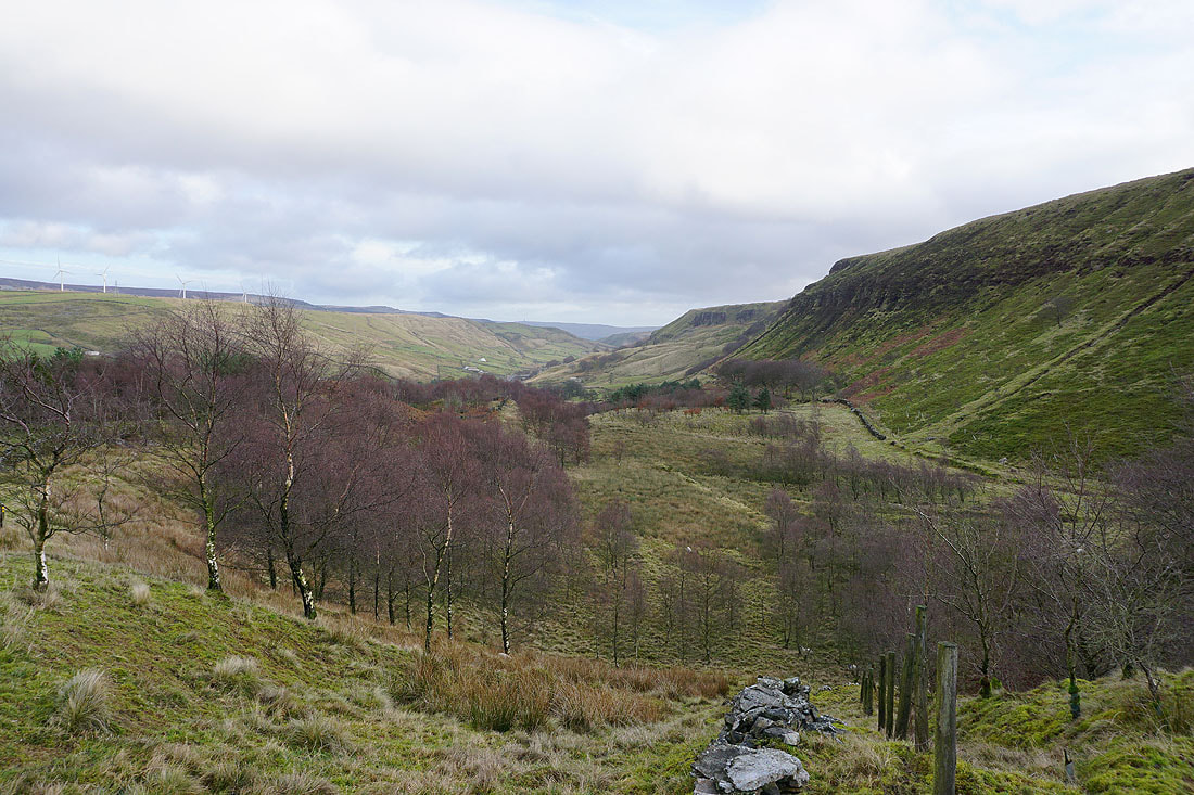
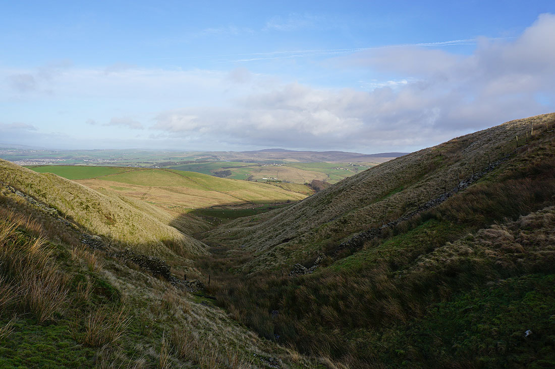
Looking east along the Cliviger gorge with Thieveley Scout on the right
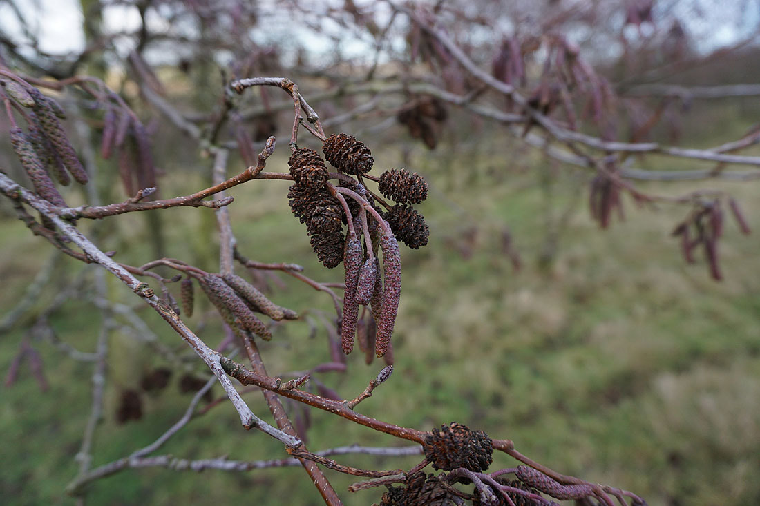
Alder catkins in Buckley Wood
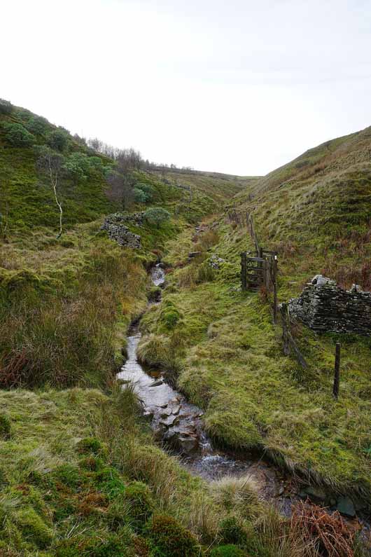
Black Clough
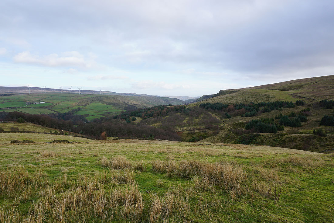
The Cliviger gorge from Stone House Edge
Crown Point..
..and Pendle Hill from Stone House Edge
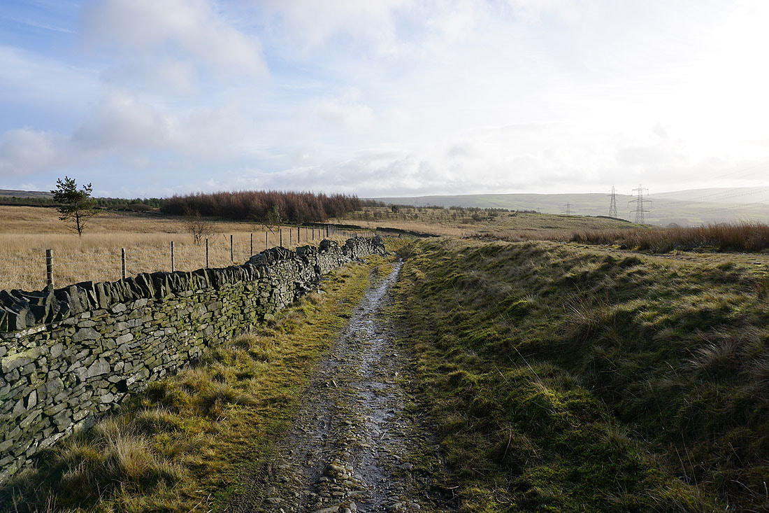
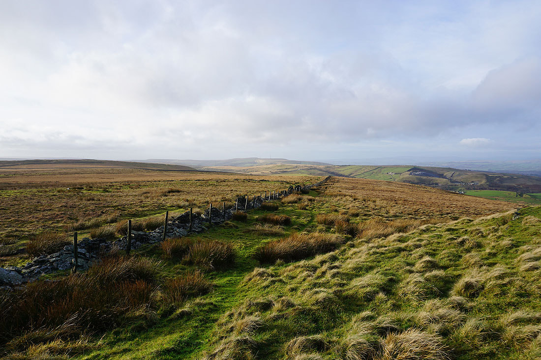
Looking back from the Pennine Bridleway to Cow Side and Stone House Edge
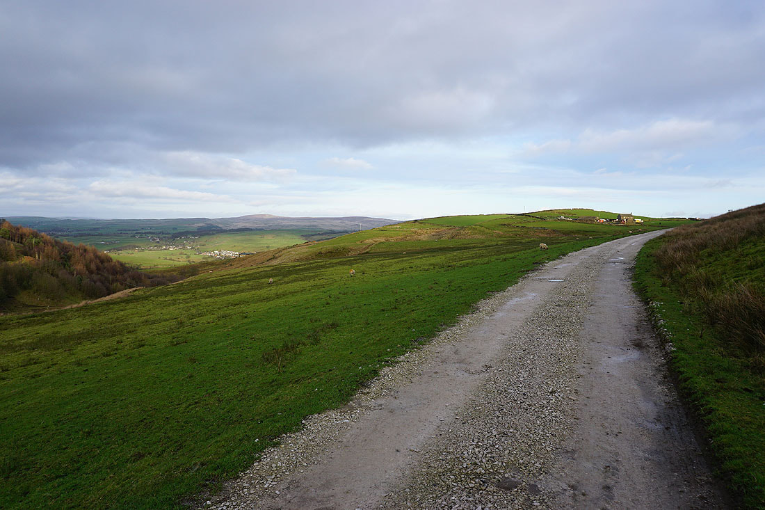
On the bridleway back to Crown Point Road having crossed the A671
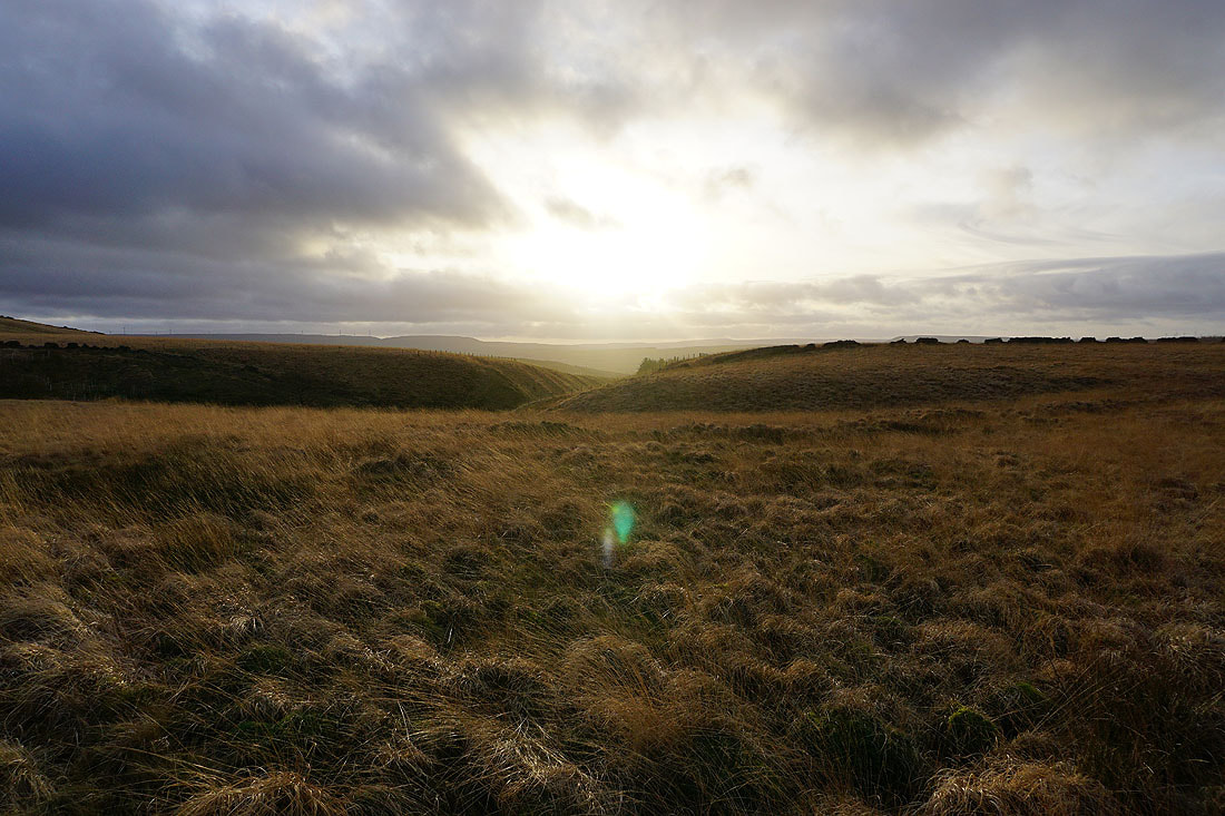
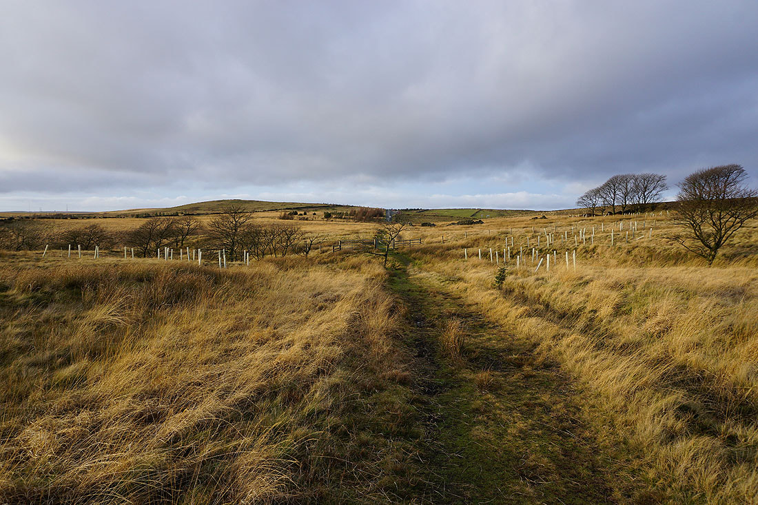
Low sun on winter moors
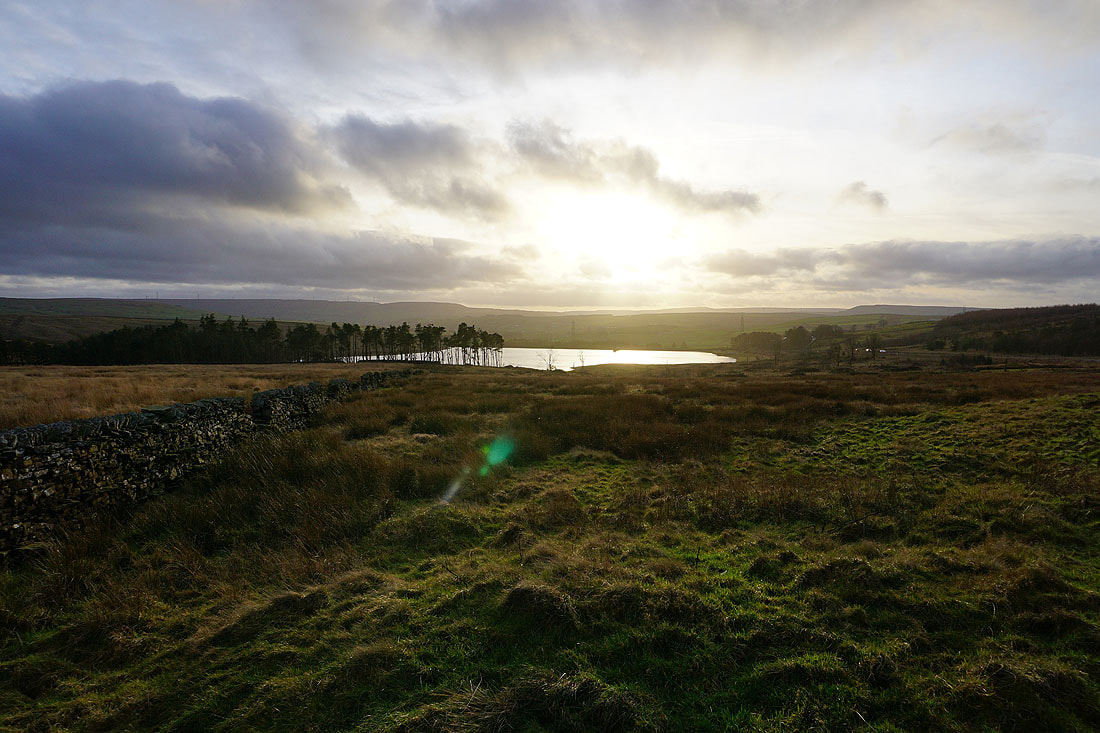
Clough Bottom Reservoir
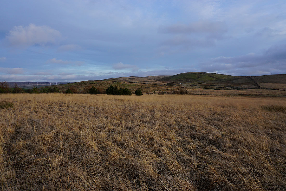
The light of the setting sun across the moors to finish with