29th December 2020 - Weets Hill
Walk Details
Distance walked: 8.3 miles
Total ascent: 1182 ft
OS map used: OL21 - South Pennines
Time taken: 6 hrs
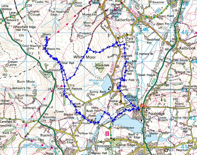
Route description: Foulridge-B6251-Reedymoor Lane-Foulridge Lower Reservoir-Slipper Hill Reservoir-Hollin Hall-Blacko Hill-Pendle Way-Gisburn Old Road-Weets Hill-Gisburn Old Road-Lister Well Road-Copy Nook-High Lane-Booth House Farm-Hey Fold-Hey-Foulridge
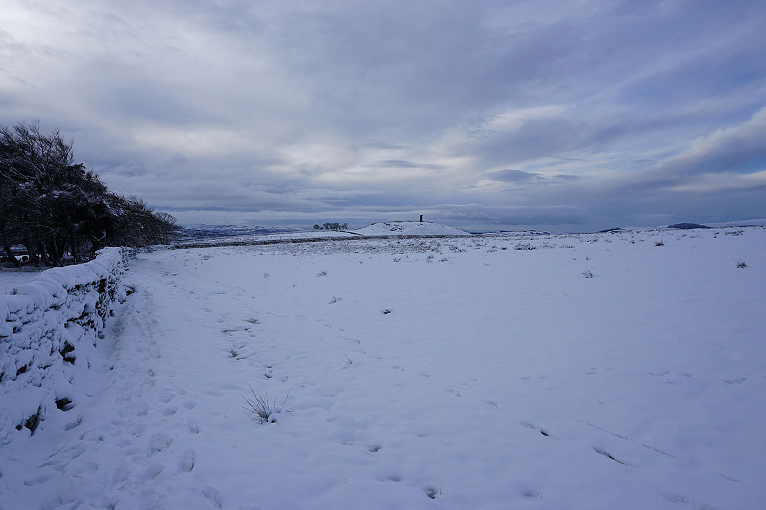
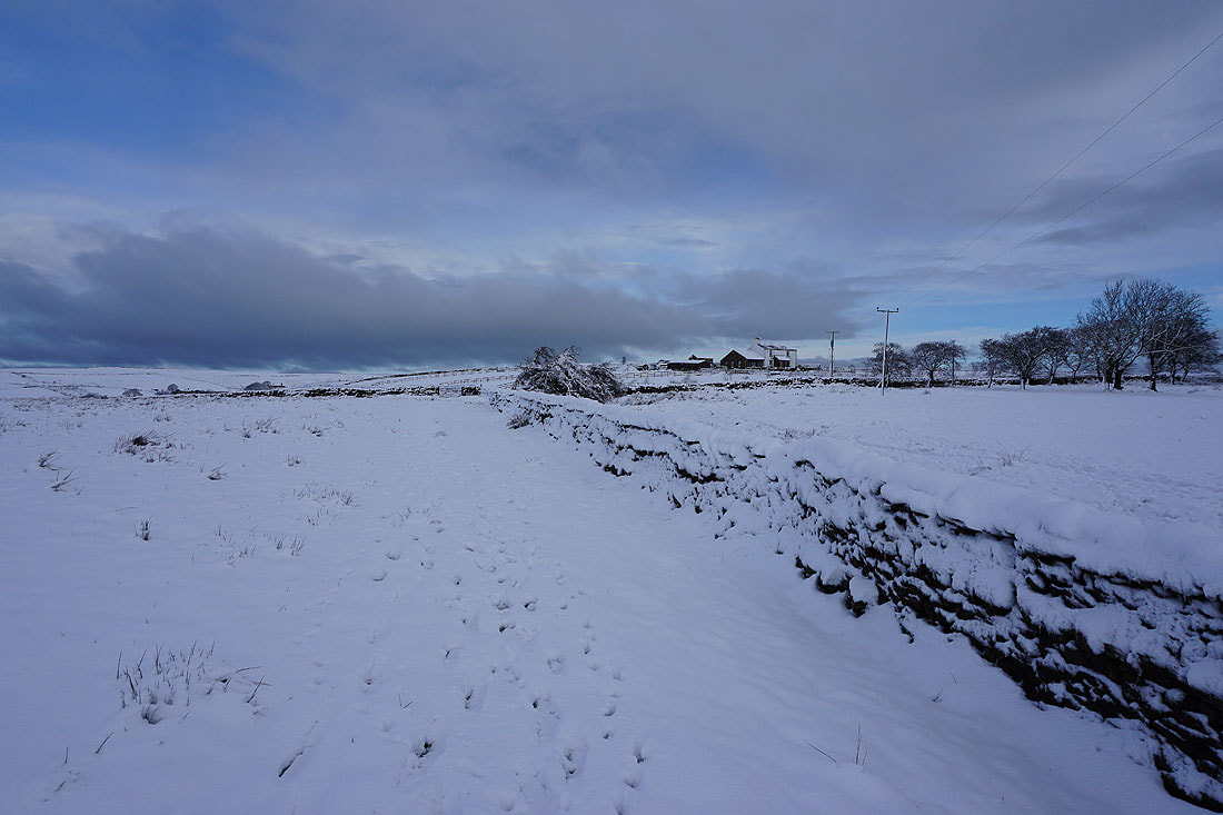
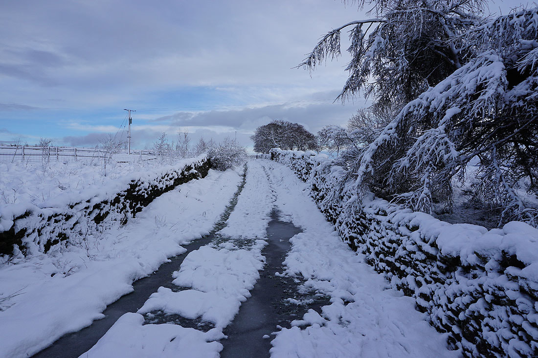
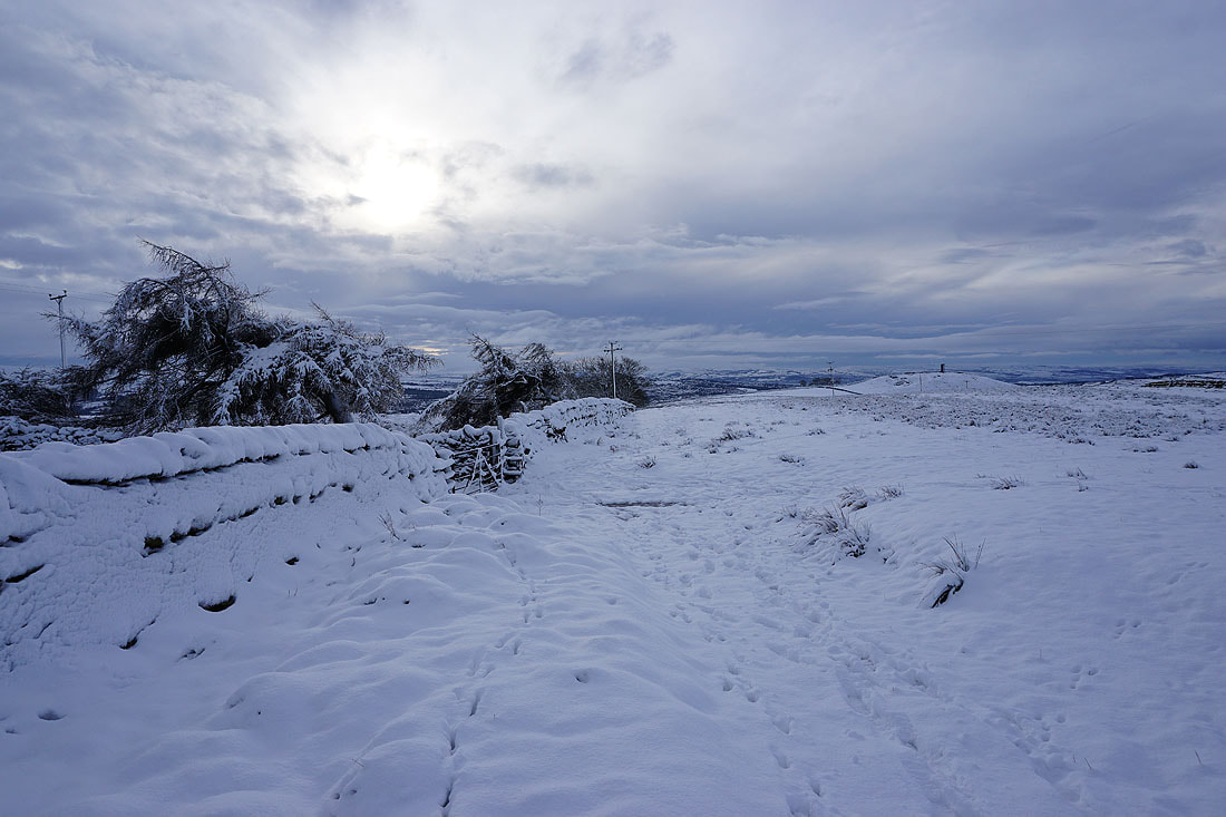
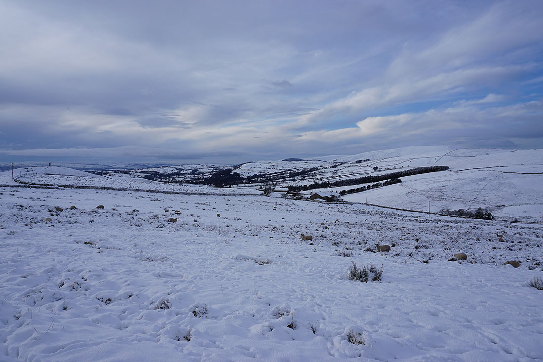
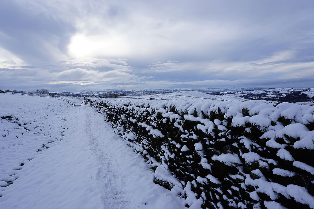
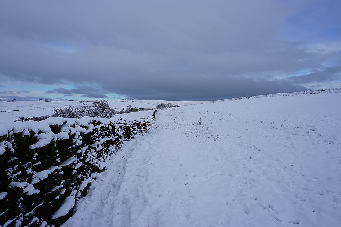
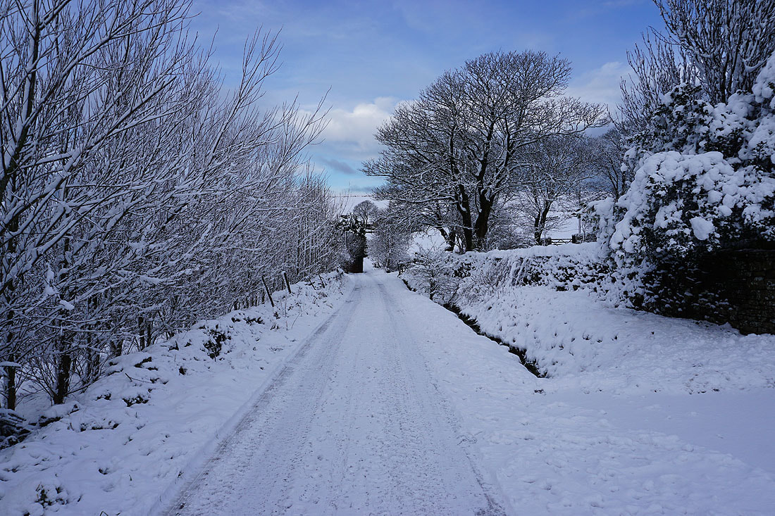
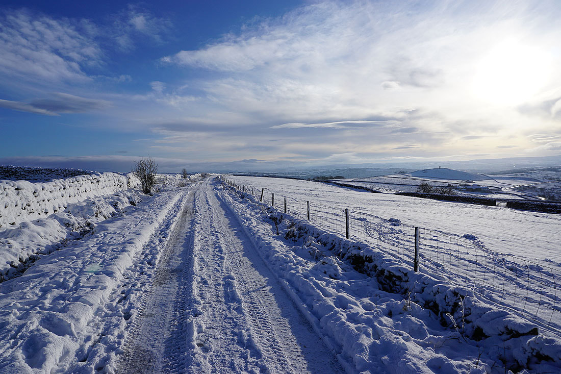
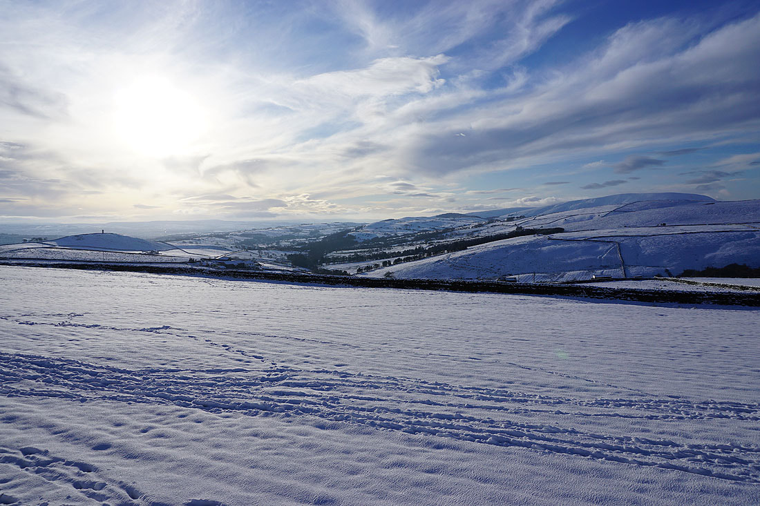
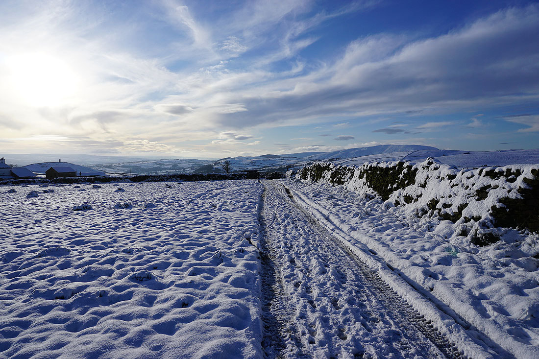
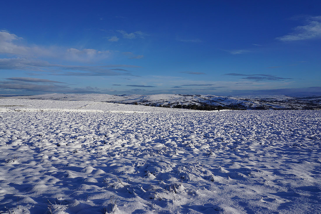
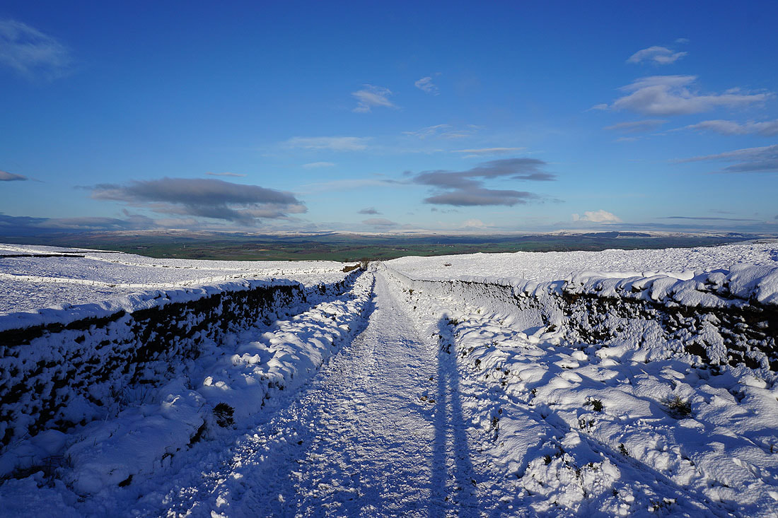
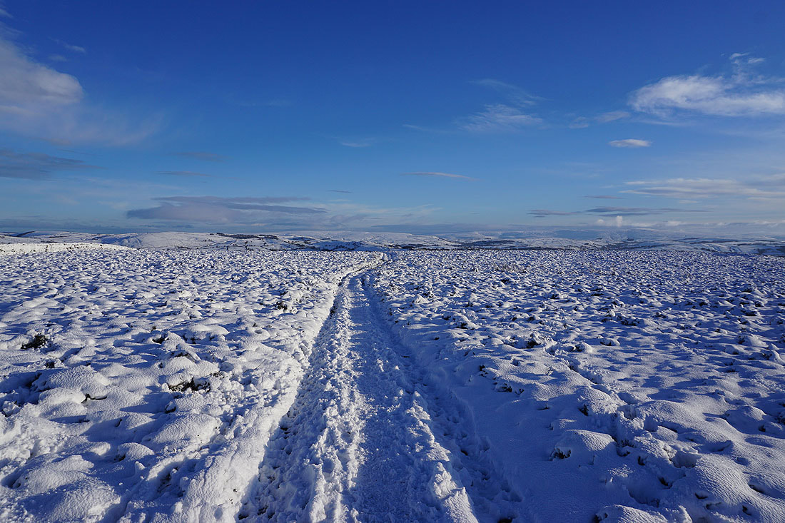
With snow on the ground and a fine day forecast I was looking forward to today's walk, from home obviously, though at the time I could have made a short journey within my local area. Making my way to Weets Hill and back would make the most of the short winter's day, and it's a walk that I've done before with snow cover. I set off with rather grey skies as a lot of thick high cloud made any sunshine very hazy, but this gradually cleared into the afternoon to give sunny spells and a cold northeasterly breeze. There were fantastic views across snow covered moors to enjoy.
From where I live in Foulridge I walked up to and then west along the B6251, then along Reedymoor Lane to Foulridge Lower Reservoir. I then walked up the track to Sand Hall, took the footpath on the left past Slipper Hill Reservoir and to Slipper Hill, where I crossed the lane and took the footpath opposite past cottages and up the hillside to Barnoldswick Road. After crossing the road I took the footpath opposite from Hollin Hall up onto Blacko Hill and then north to join the Pendle Way to Gisburn Old Road. I then walked up Gisburn Old Road to its top at Weets House Farm, and from there I took the path to the top of Weets Hill. After taking a break to admire the view and have my lunch, I made my way back to Weets House Farm and walked down Gisburn Old Road until I reached the turn-off for the Pennine Bridleway and Lister Well Road. I followed Lister Well Road across White Moor until I reached a footpath on the right which I took down to Copy Nook and High Lane. I briefly walked south along High Lane to take the footpath on the other side of the road down to Booth House Farm, then followed a path south across fields, down to the bridge over County Brook and to County Brook Lane. I then briefly walked up County Brook Lane, took the footpath on the left and followed it over the little hill past Hullet Hall and then turned right and took the path to Hey Fold. From Hey Fold I then took a path south through Hey and to Whitemoor Road, where a path southeast down through fields to the end of Station Road in Foulridge saw me back home.
Route map
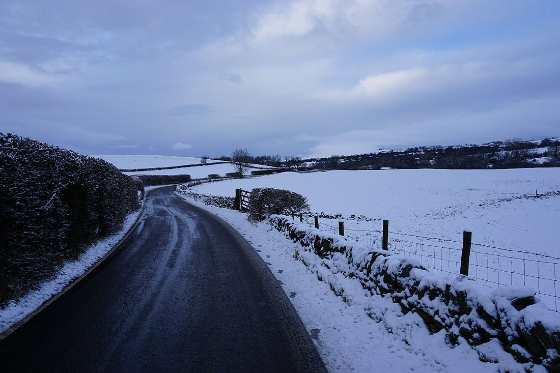
Leaving Foulridge on the B6251
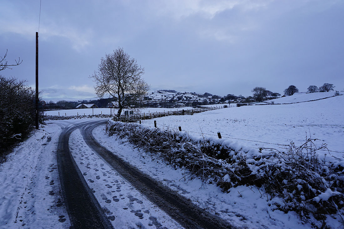
Looking back to Foulridge as I take Reedymoor Lane
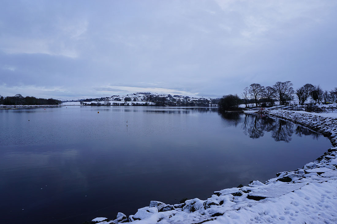
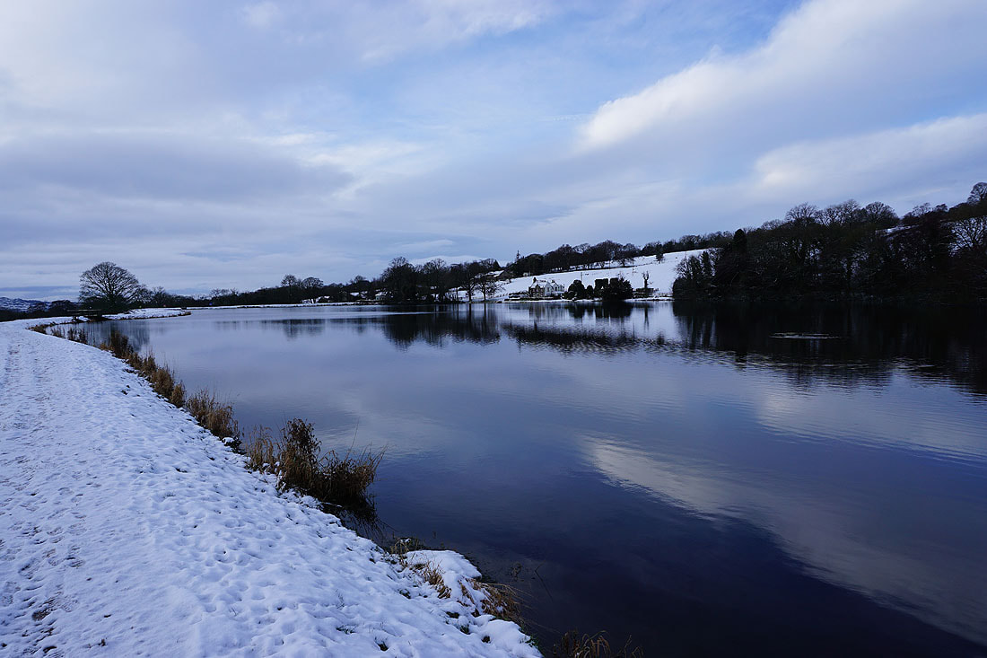
Reflections in Foulridge Lower Reservoir
and in Slipper Hill Reservoir
Heading up onto Blacko Hill
Looking back with Boulsworth Hill in the distance
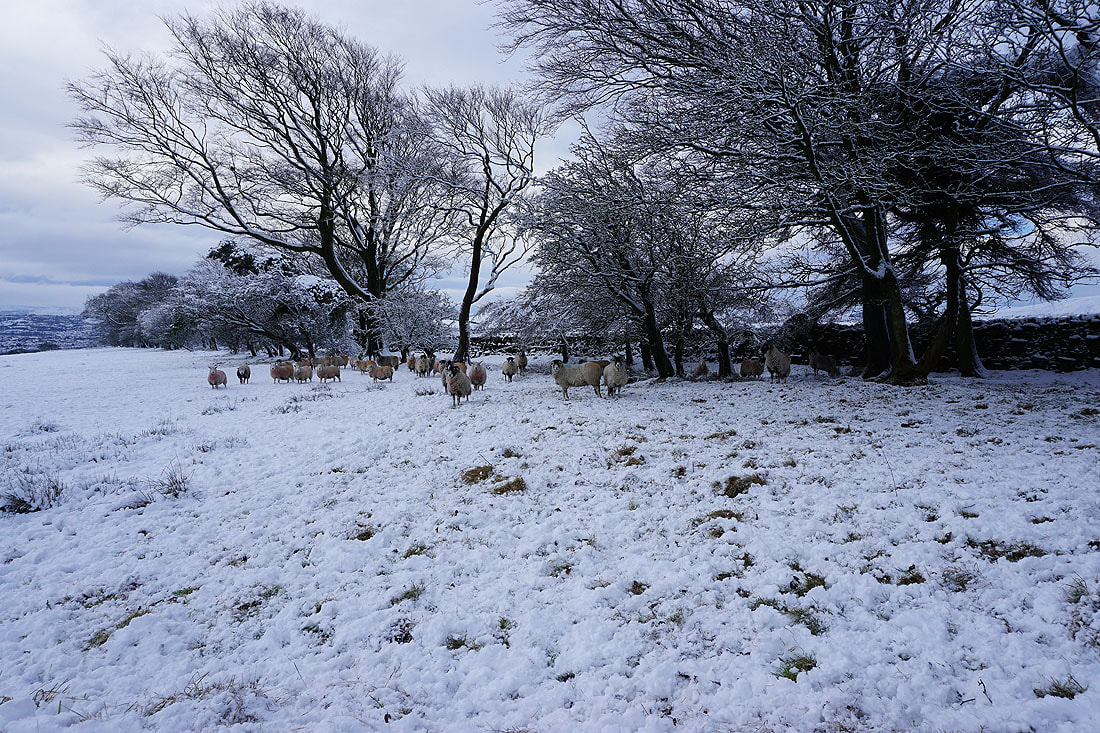
Taking shelter
Stansfield Tower on Blacko Hill
Peel's House Farm stands next to Gisburn Old Road
A snow covered bridleway to Gisburn Old Road
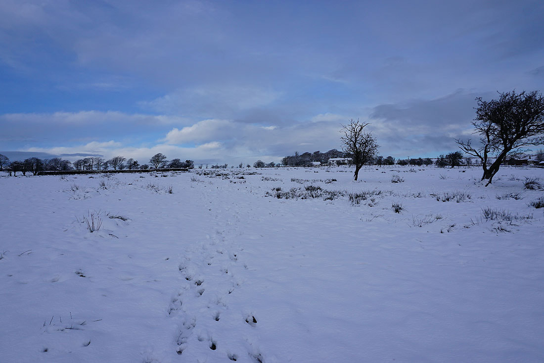
Looking back to Blacko Hill. There's deep snow covering everything up here.
Blacko Hill, the valley of Admergill Water, and Pendle Hill
On the Pendle Way to Gisburn Old Road..
Walking up Gisburn Old Road past Sandyford Farm..
Looking down the valley of Admergill Water to Blacko Hill
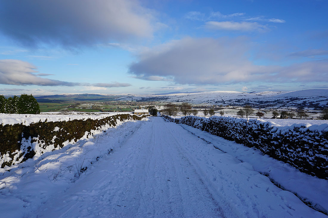
and down Gisburn Old Road to a distant Boulsworth Hill
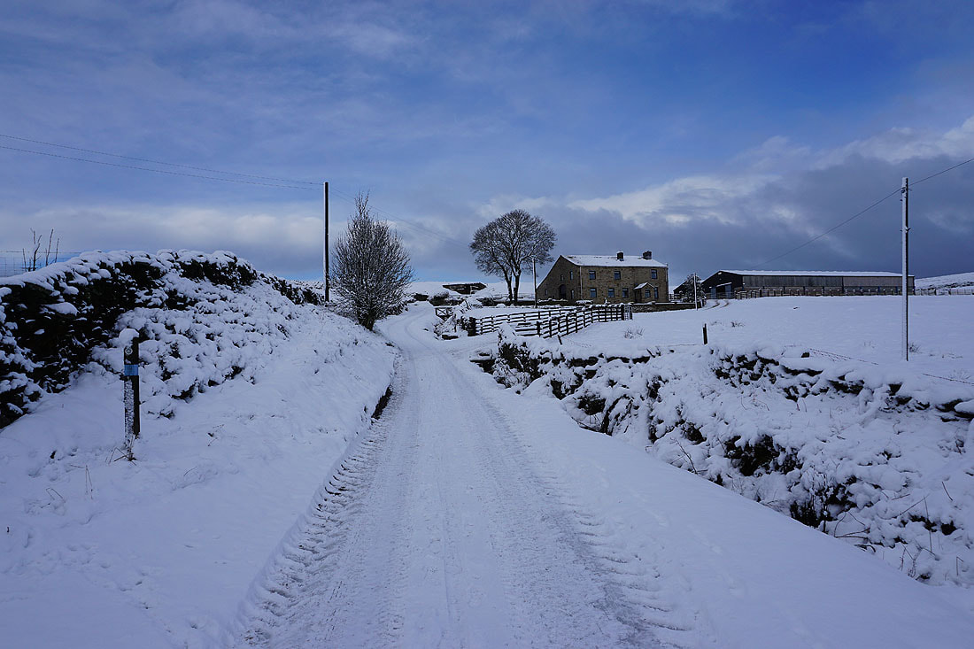
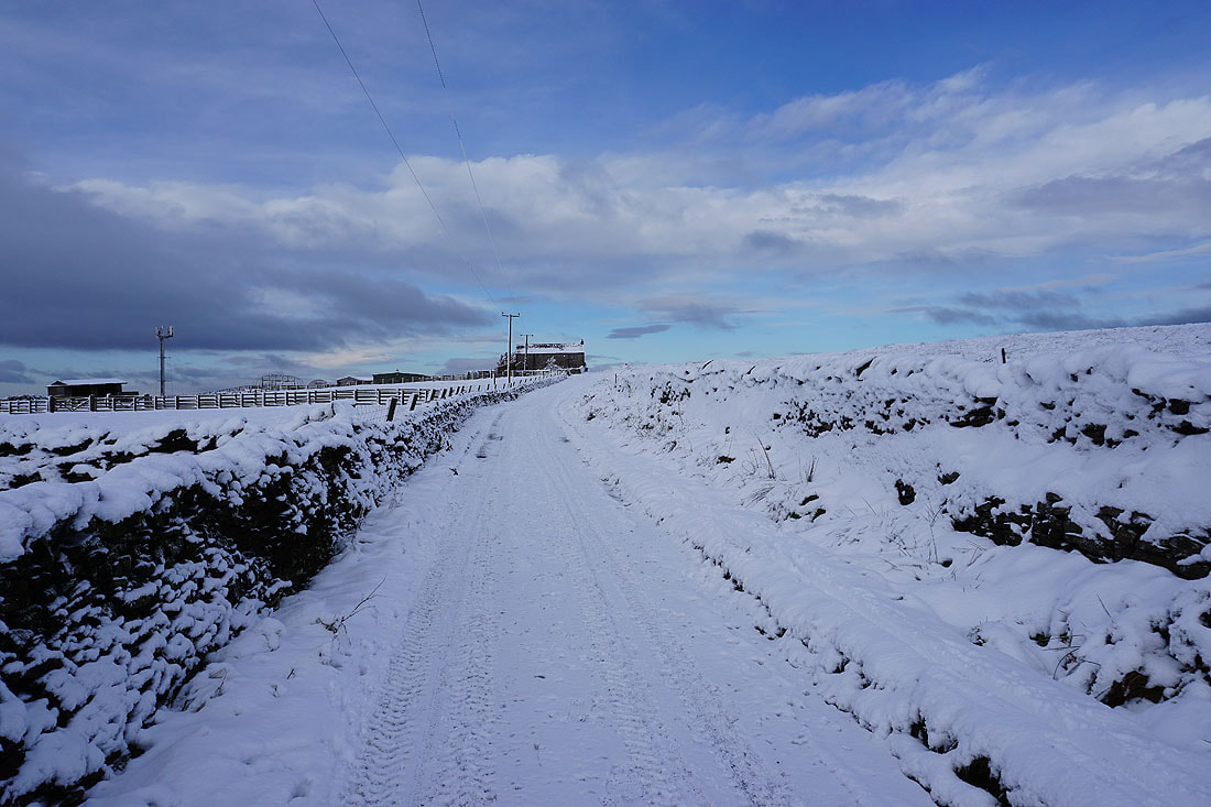
Weets House Farm ahead at the top of Gisburn Old Road
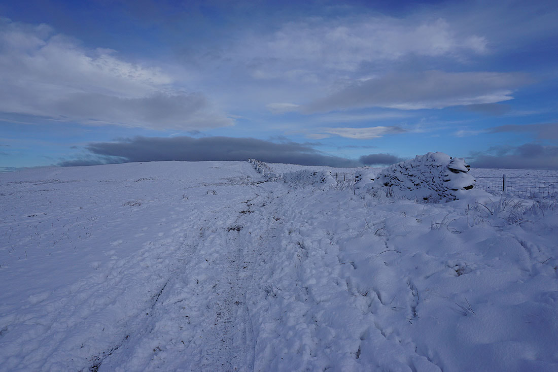
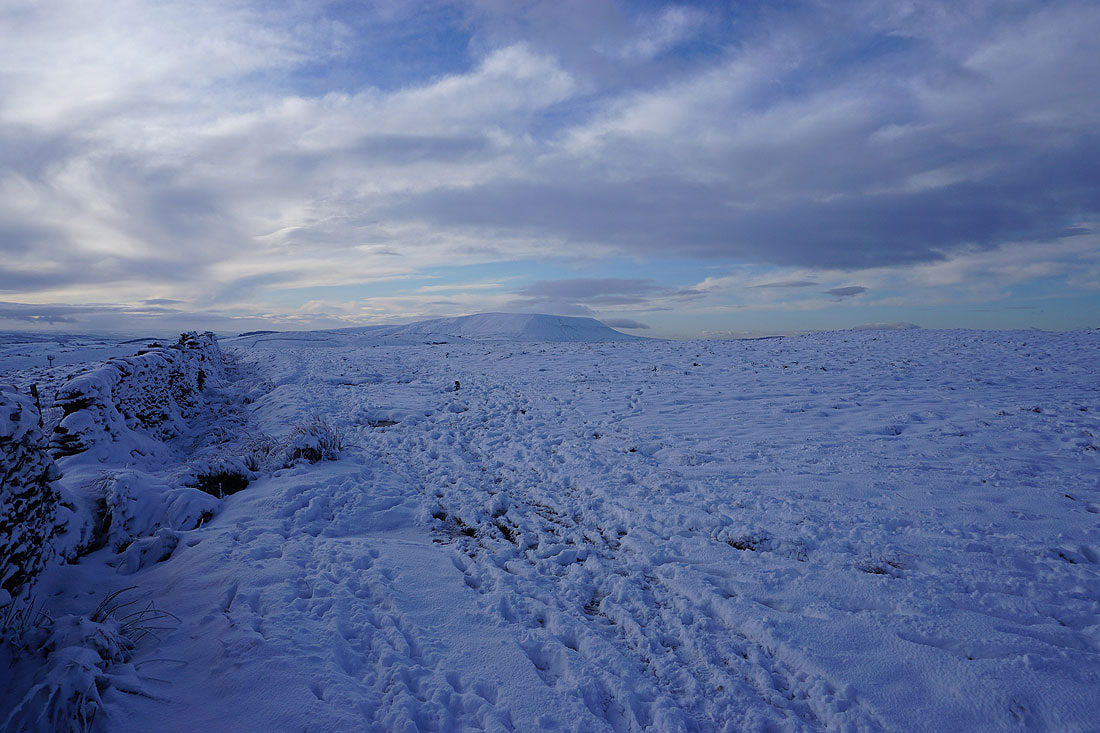
Heading up onto Weets Hill
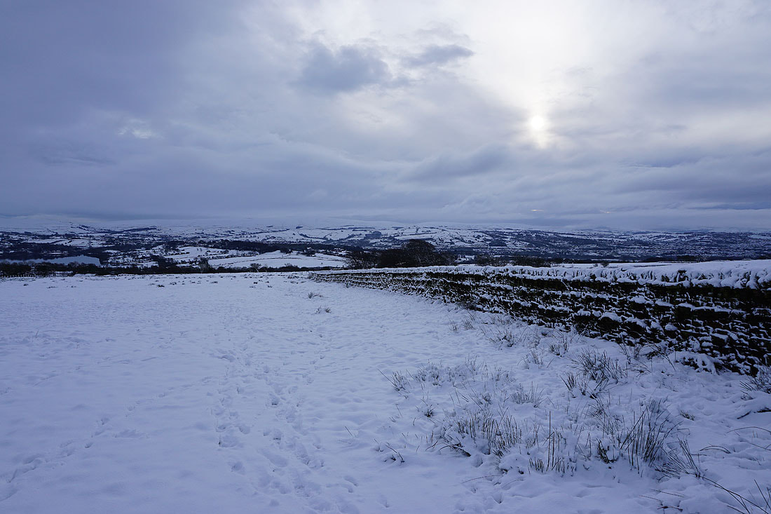
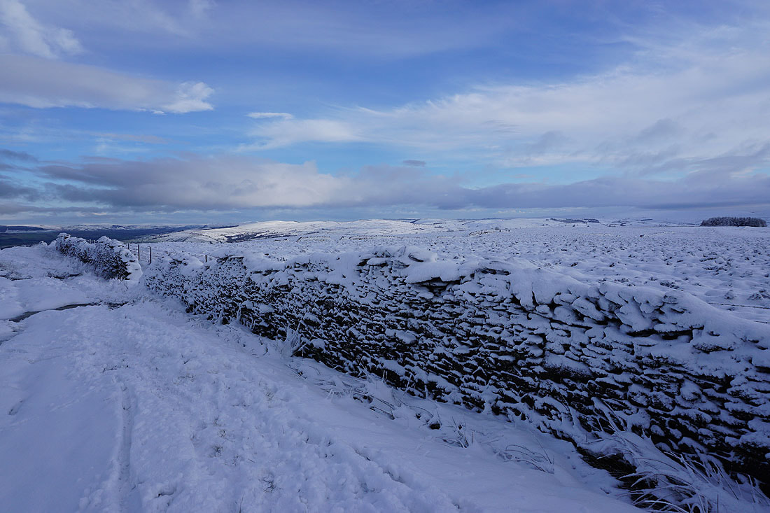
Thornton Moor, Bleara Moor, and Kelbrook Moor in the distance on the other side of the wall
Boulsworth Hill, the Forest of Trawden, and Thieveley Pike in the distance to the south
and Thieveley Pike and Hameldon Hill to the southwest
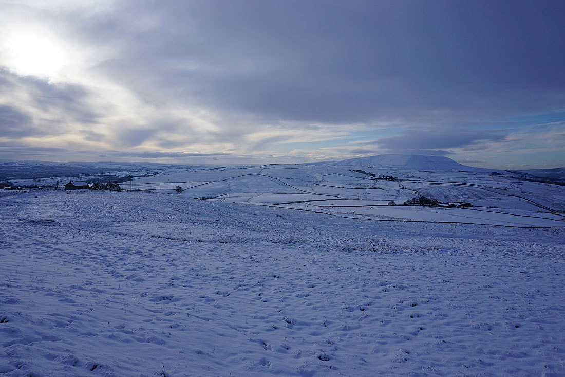
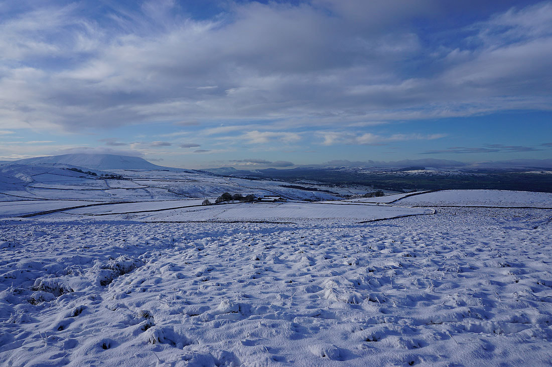
Pendle Hill
Burn Moor and Pendle Hill
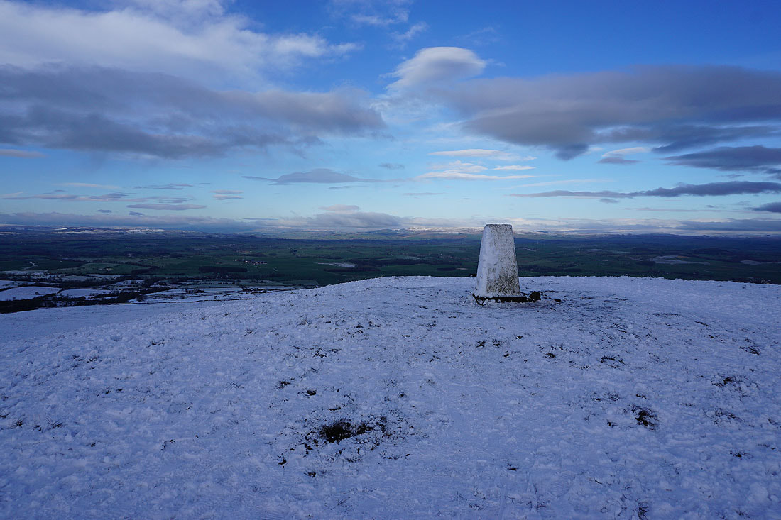
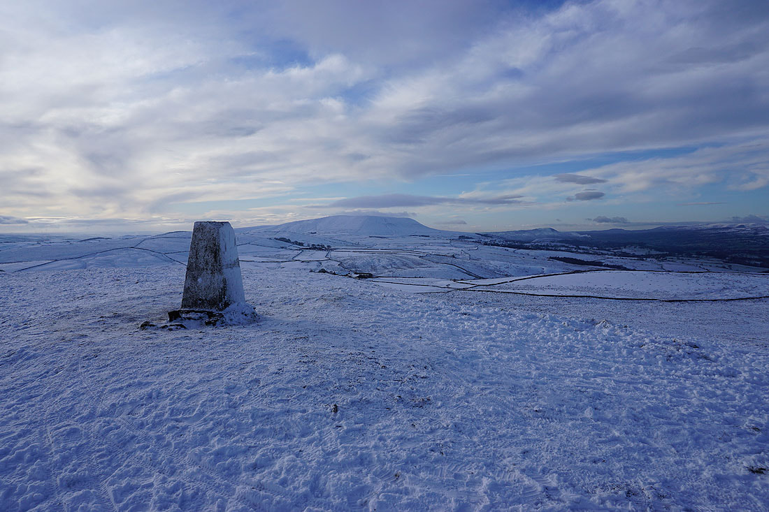
At the trig point on Weets Hill. Looking north towards Ingleborough and Penyghent in the Yorkshire Dales. It looks like there's less snow there and a higher snow line.
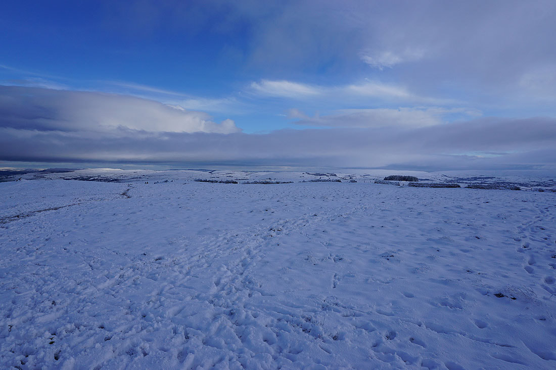
Thornton Moor, Bleara Moor, Kelbrook Moor and Ickornshaw Moor to the east
Pendle Hill from the trig point on Weets Hill
Pendle Hill, with Longridge Fell, Beacon Fell, Parlick, Fair Snape Fell, Totridge and Easington Fell in the Forest of Bowland on the right
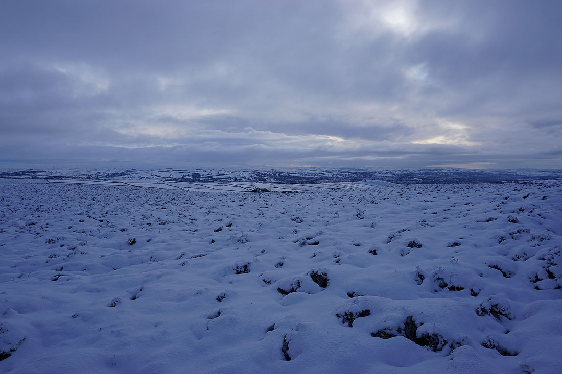
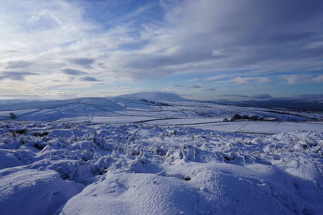
Snow covered tussocks of grass make a good foreground for a photo of Pendle Hill, and the sunnier skies that are arriving helps
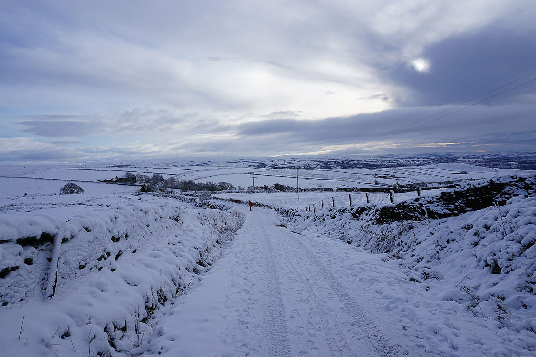
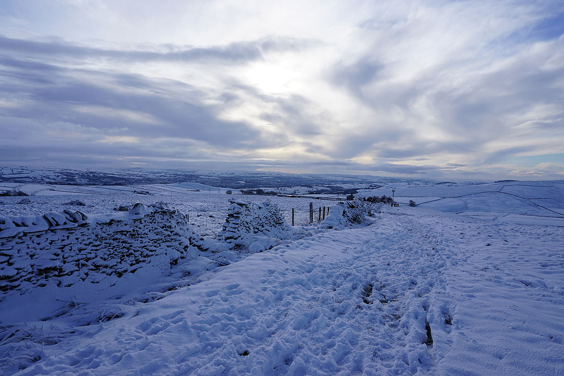
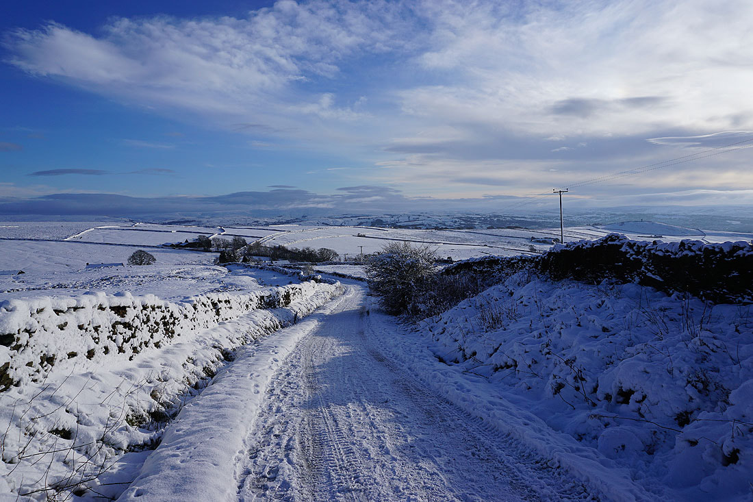
Heading back down Gisburn Old Road..
Blacko Hill, the Forest of Pendle, and Pendle Hill
Blacko Hill and Pendle Hill as I take the Lister Well Road bridleway
Blue skies and snow. It's great to be out.
Thornton Moor, Bleara Moor, Kelbrook Moor, Great Edge and Noyna Hill to the east
As far along the Lister Well Road bridleway as I'm going. Great Whernside and snow covered moors around Wharfedale in the distance.
Kelbrook Moor, Ickornshaw Moor and Boulsworth Hill in the distance as I take the path down to High Lane
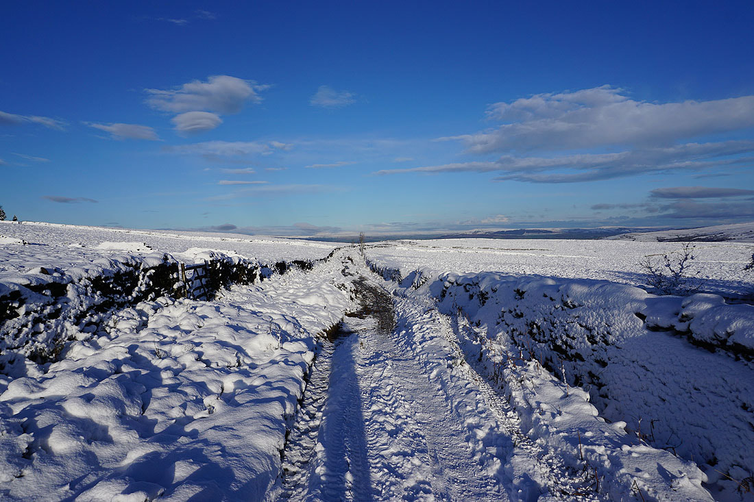
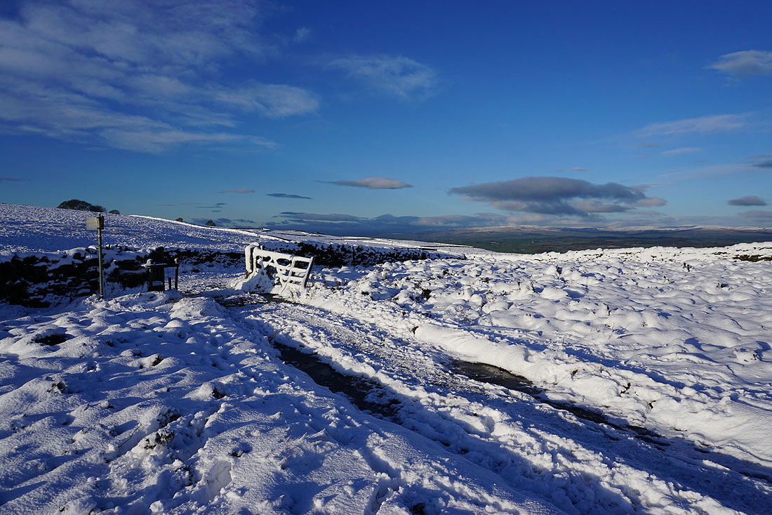
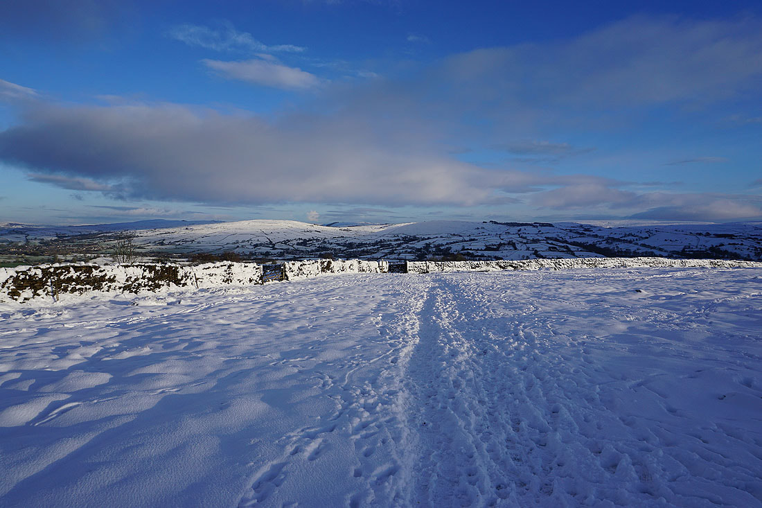
The snow covered wall, track and gate provide a photo opportunity
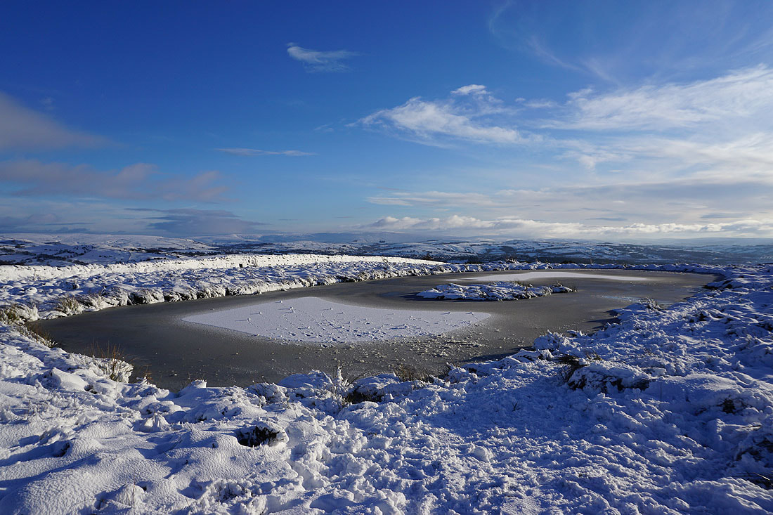
A frozen pool on Lad Lowe Hill with Boulsworth Hill in the distance
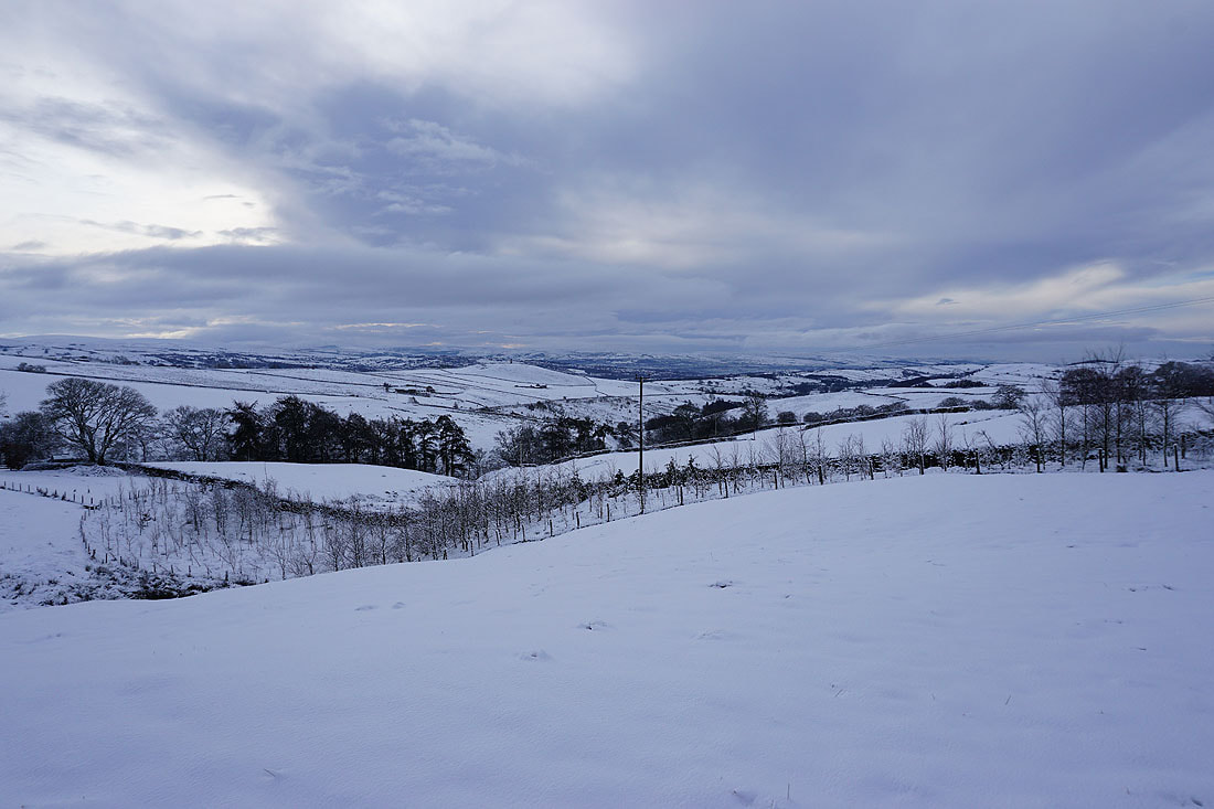
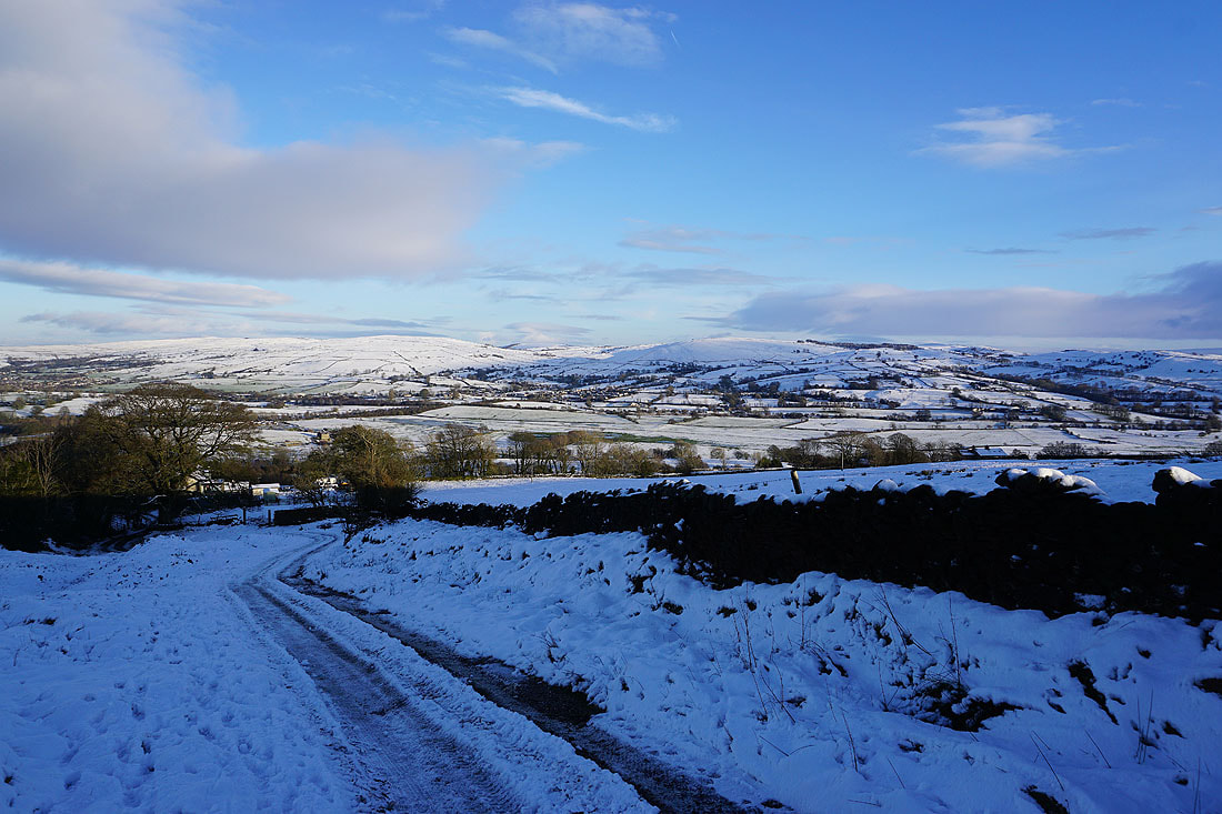
Thornton Moor, Bleara Moor and Kelbrook Moor as I head down to High Lane...
On the field paths back to Foulridge
Bare trees and blue skies
Barden Moor and Bleara Moor..
..and Bleara Moor and Kelbrook Moor
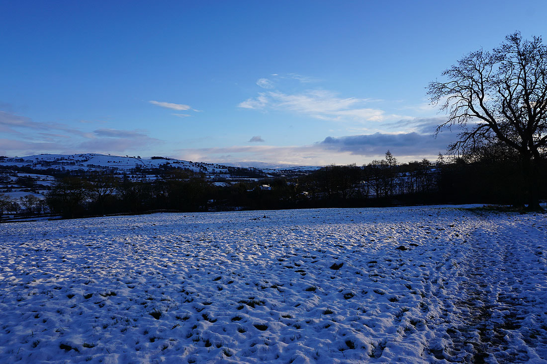
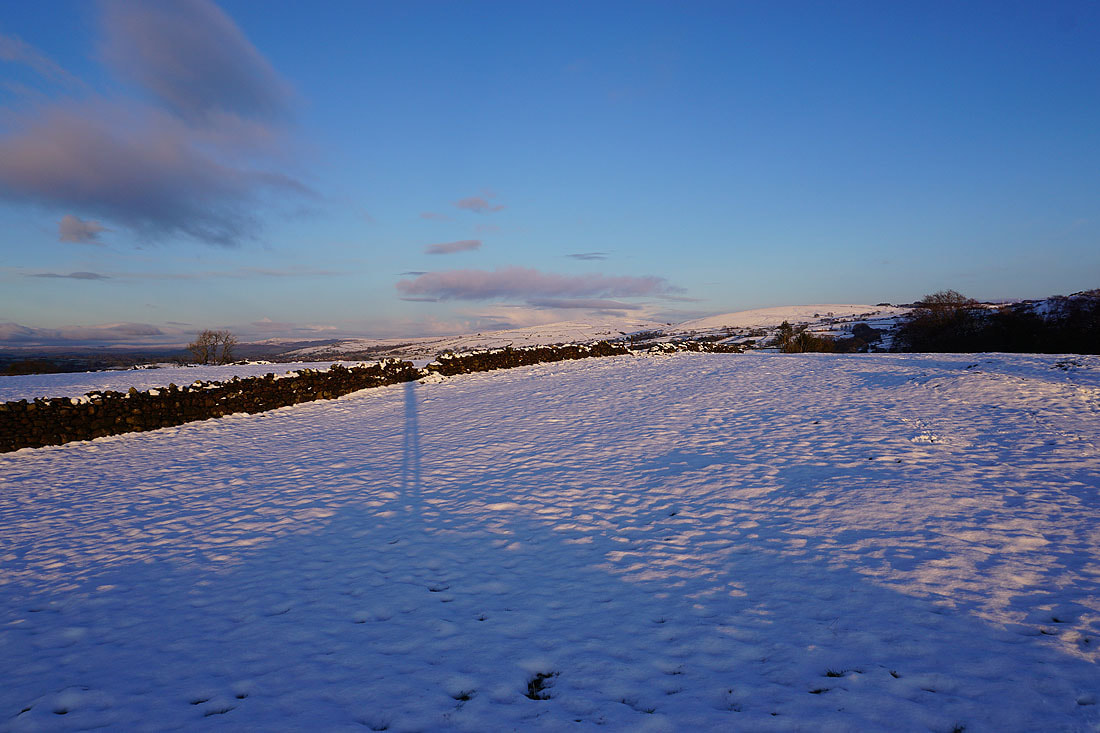
Almost back home and the setting sun is giving a lovely light. Looking towards Kelbrook Moor and Noyna Hill.
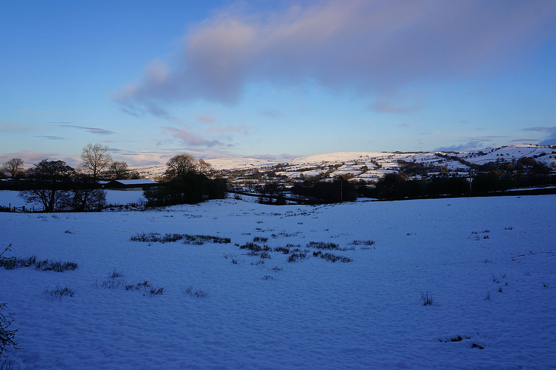
..and Barden Moor, Bleara Moor and Kelbrook Moor
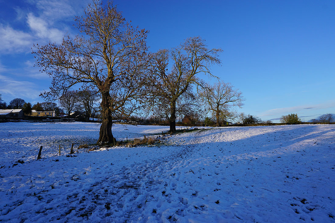
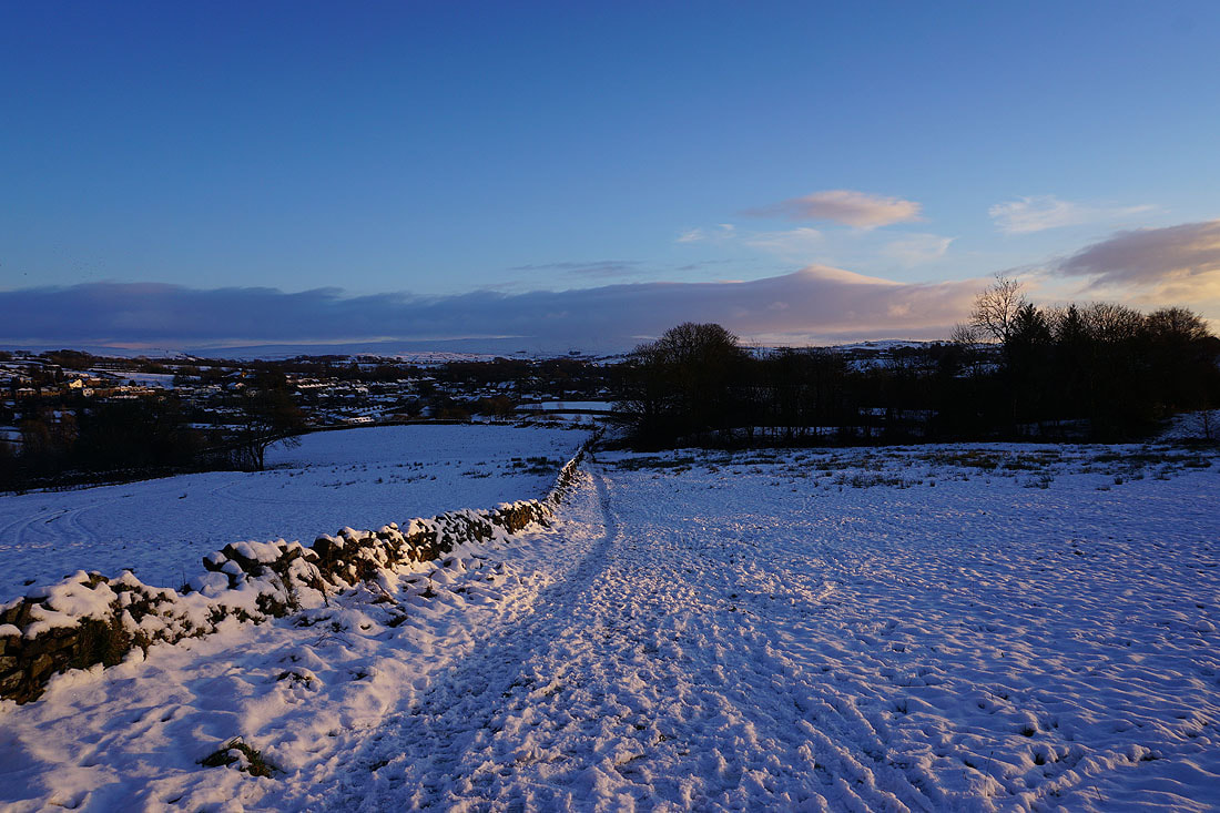
Heading back home to Foulridge
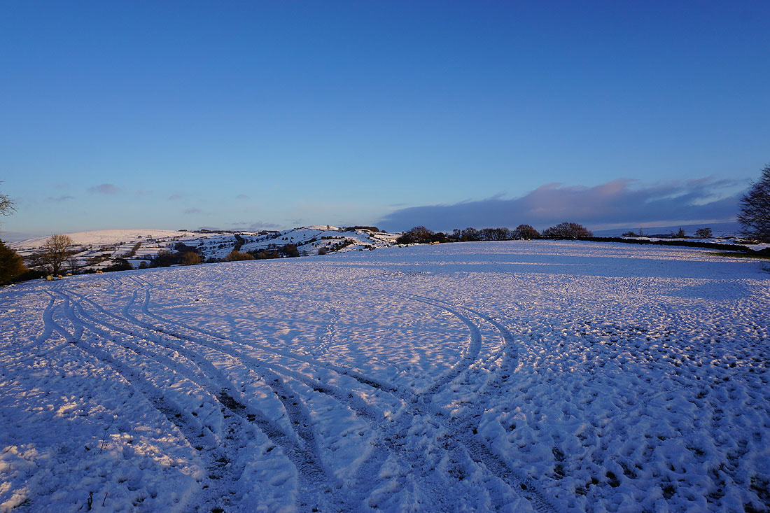
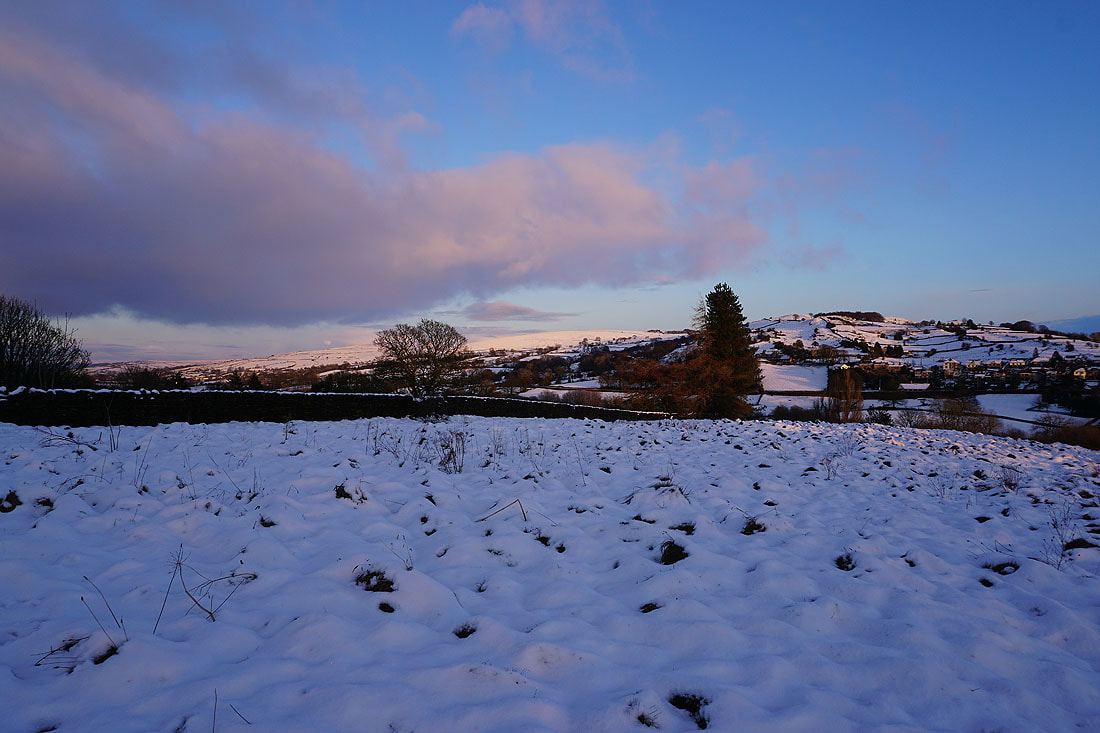
Kelbrook Moor and Noyna Hill
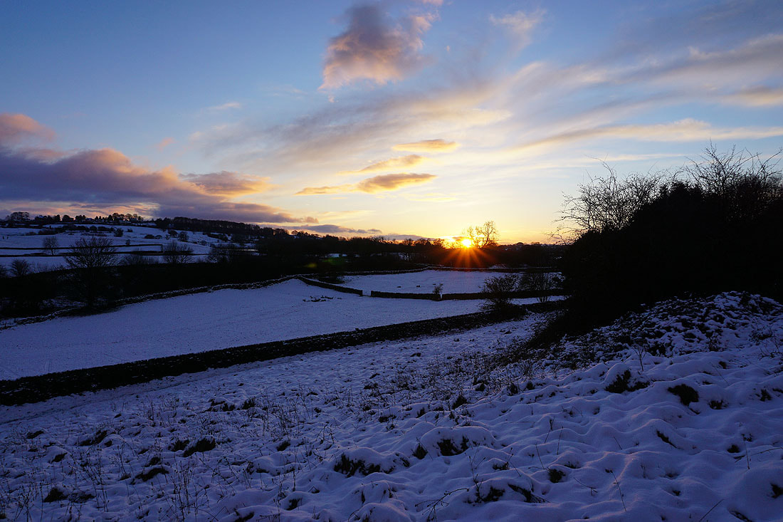
A nice sunset to finish with
