29th December 2023 - Weets Hill
Walk Details
Distance walked: 7.3 miles
Total ascent: 1065 ft
OS map used: OL21 - South Pennines
Time taken: 3.5 hrs
Route description: Foulridge-Hey-Hey Fold-Booth House Farm-High Lane-Copy Nook-Lister Well Road-Weets Hill-Weets House Farm-Gisburn Old Road-Pendle Way-Hollin Hall-Barnoldswick Road-Slipper Hill Reservoir-Reedymoor Lane-B6251-Foulridge
This turned out to be my final walk of 2023 as a brief break in the bad weather allowed me to set off from home late in the morning for a walk to Weets Hill. Although the forecast was for a cold and windy day with showers, it looked like there was going to be a few hours from late morning until the middle of the afternoon when the showers would ease off around where I live. Setting off from home at about 1100 I took my usual route, but with the quickest way to the summit from Lister Well Road. I managed to enjoy some sunny spells and dramatic skyscapes from nearby showers on my way to Weets Hill, before the skies filled with threatening clouds on my way back.
Setting off from home I walked to the western end of Station Road and took the footpath straight up the hill and across fields to the corner of Whitemoor Road. Here I turned right and took a lane past some houses, then a footpath on the right down to Hey Fold. The next bit was a little complicated as I took the footpath right at Hey Fold, then left across the crest of a little hill and past Hullet Hall down to County Brook Lane. I briefly walked down the lane, took a footpath on the left through a patch of woodland and across a bridge over County Brook, before resuming following footpaths north across fields past Wood End Farm to Booth House Farm, where I took a footpath up a field to High Lane. I then walked a short distance north along High Lane, then took a track on the left and followed it uphill past Copy Nook to the bridleway of Lister Well Road. I crossed Lister Well Road and went through a gate onto access land, then took a path up to a wall below a small area of woodland, went through the wall, then followed a path by it to the top of Weets Hill. After a short break, and to take in the view I took the Pendle Way to reach Weets House Farm at the top of Gisburn Old Road. I then walked down Gisburn Old Road until I reached Star Hall Farm where I took the Pendle Way on the right across fields. I left the Pendle Way above Admergill Pasture Cottage for a footpath by a wall, before crossing the wall and taking a footpath down through fields to Hollin Hall on Barnoldswick Road. I crossed the road and took the footpath opposite down through fields to where it meets the lane by Slipper Hill Reservoir. I then took the footpath round Slipper Hill Reservoir to reach a track past Sand Hall to reach Reedymoor Lane, which I walked north along to the B6251 for a return to Foulridge and home.
Route map
© Crown copyright. All rights reserved. License number PU 100034184.
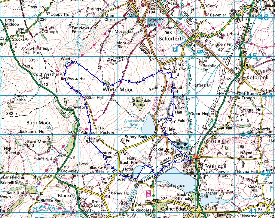
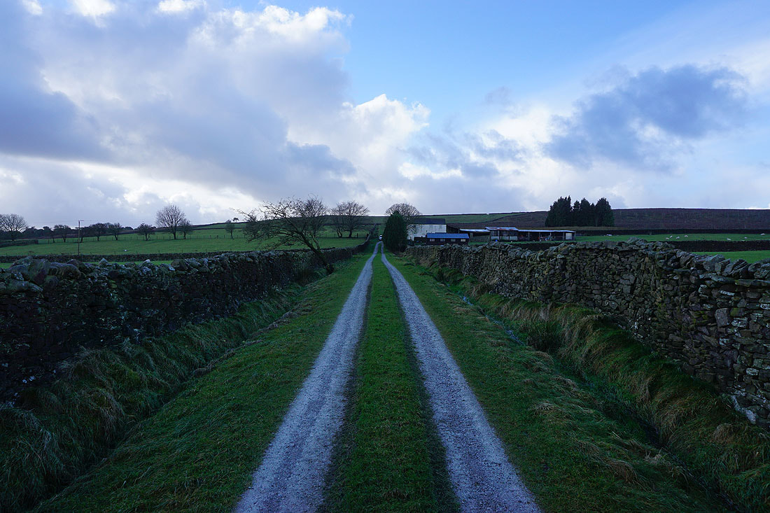
Leaving Foulridge behind with Boulsworth Hill in the distance
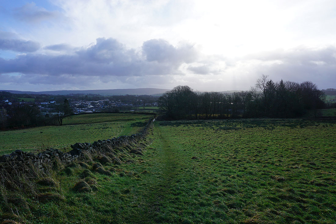
Winter sunshine at the hillside hamlet of Hey
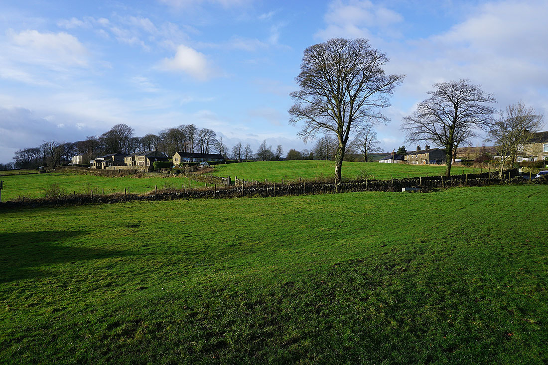
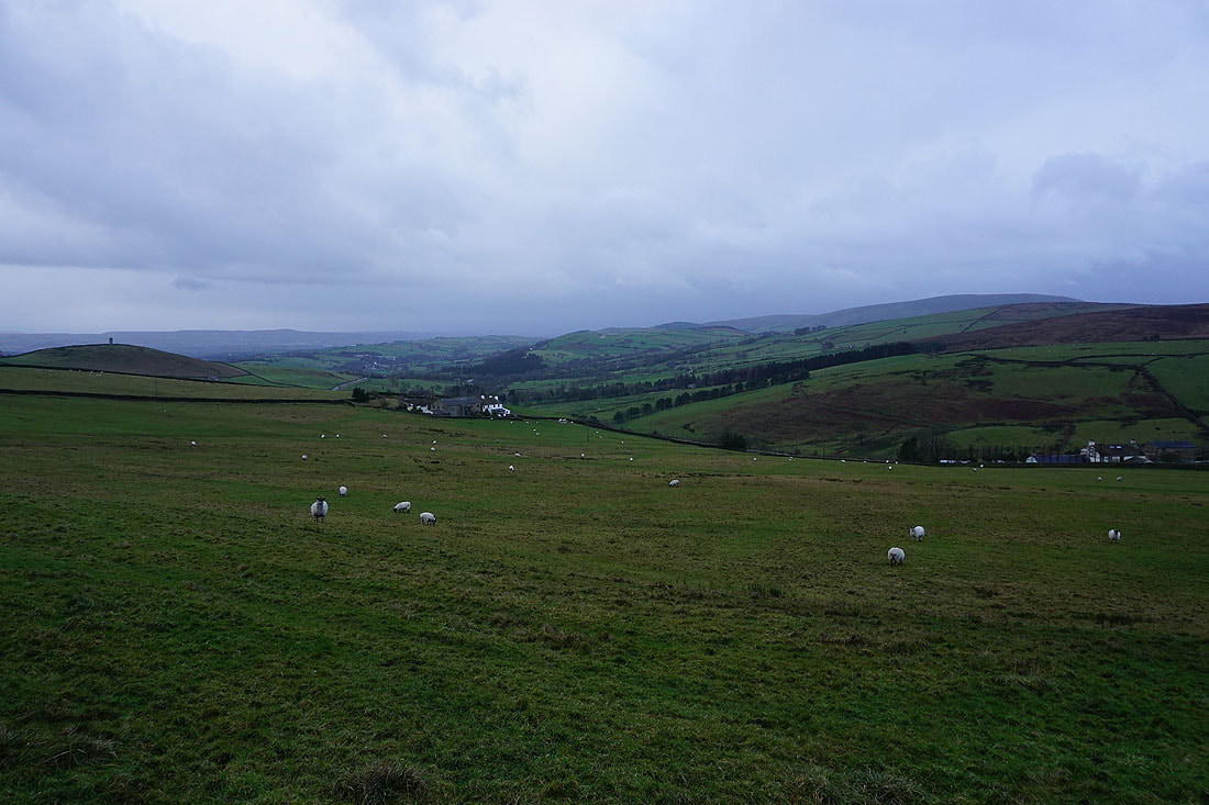
Taking the path north to County Brook, and Kelbrook Moor and Bleara Moor come into view on the right..
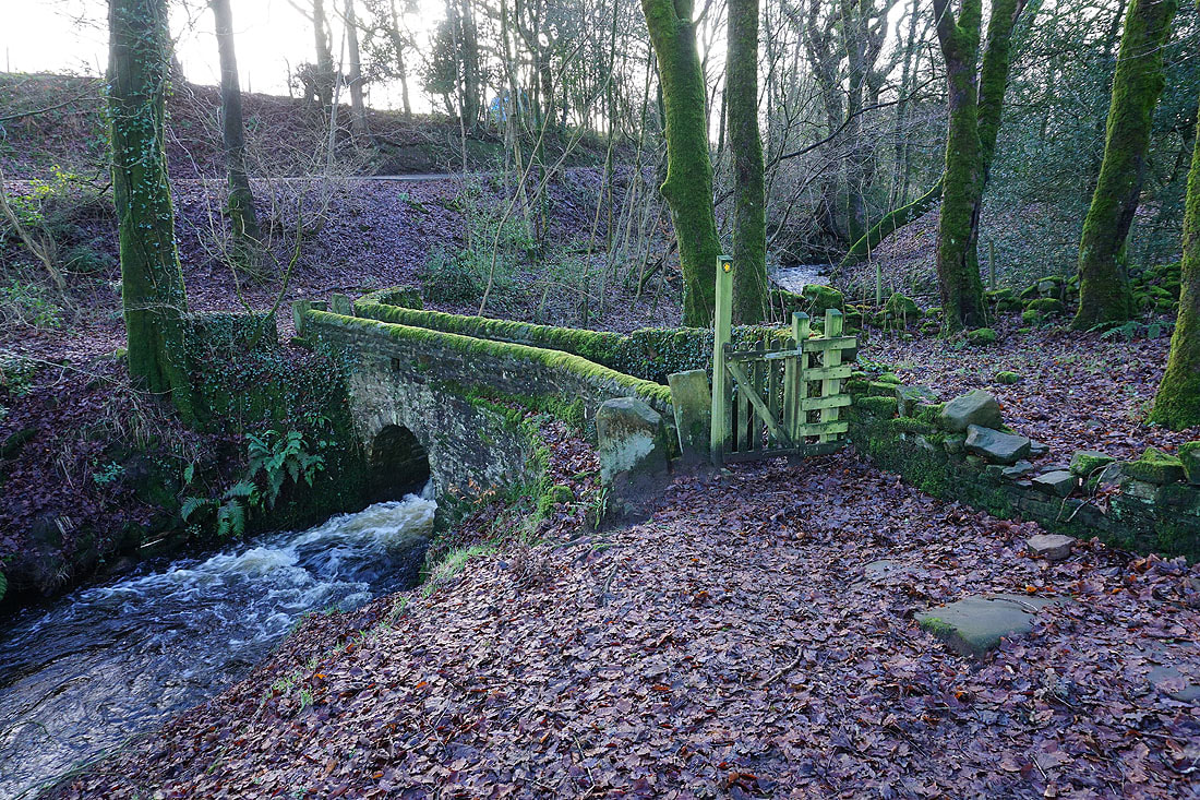
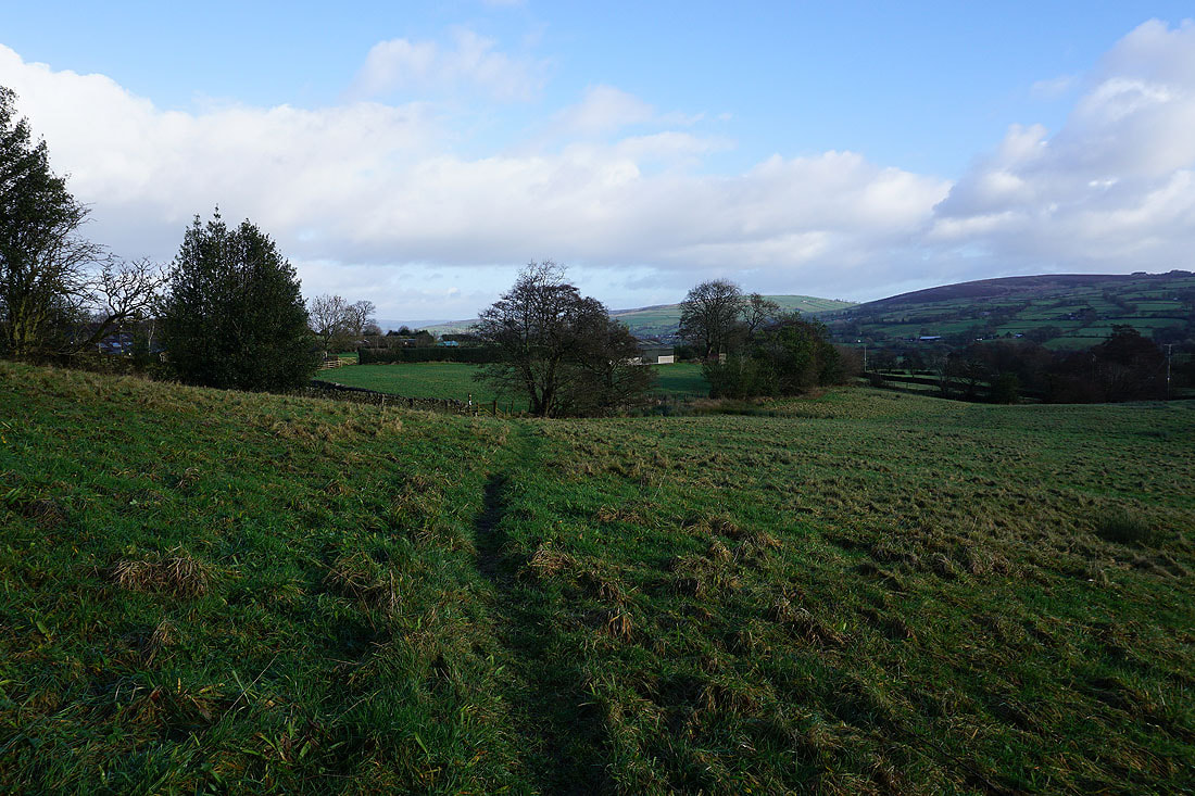
The footbridge over County Brook
Bleara Moor, Kelbrook and Kelbrook Moor as I take the path from Booth House Farm up to High Lane
Looking north across Barnoldswick to a shower passing by, as I take the track up onto Lad Lowe Hill
Heading up the track past Copy Nook up onto Lad Lowe Hill
Barden Moor in the distance from the gate onto access land on Lad Lowe Hill
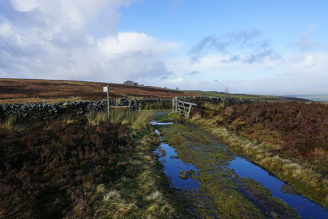
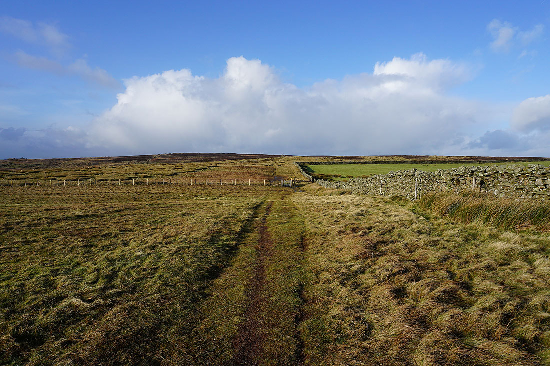
Onto the bridleway of Lister Well Road

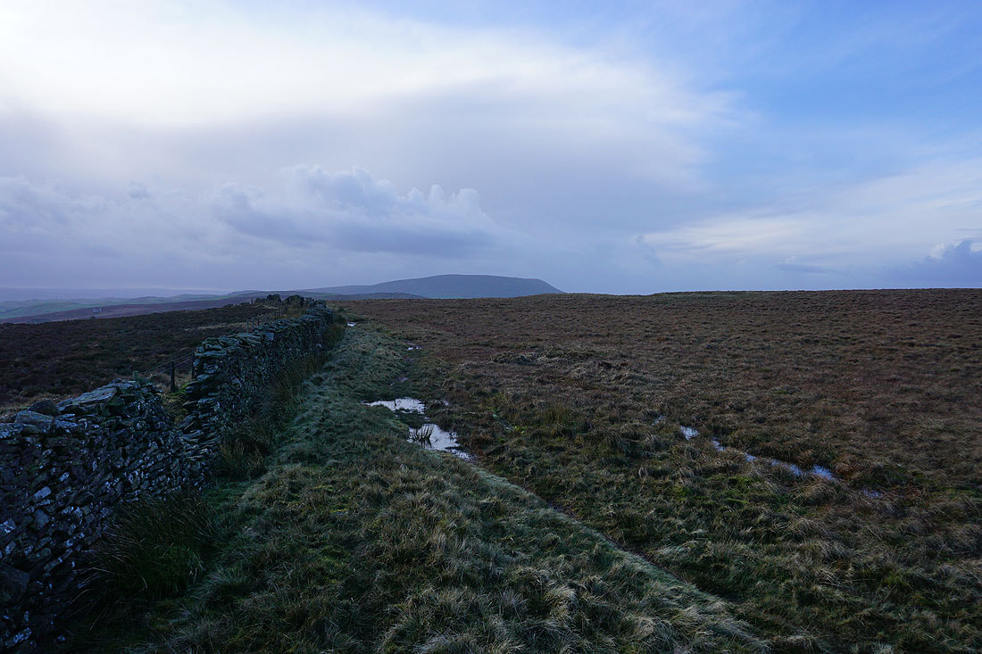
Looking down Lister Well Road with the moorland around Malhamdale and Wharfedale in the distance
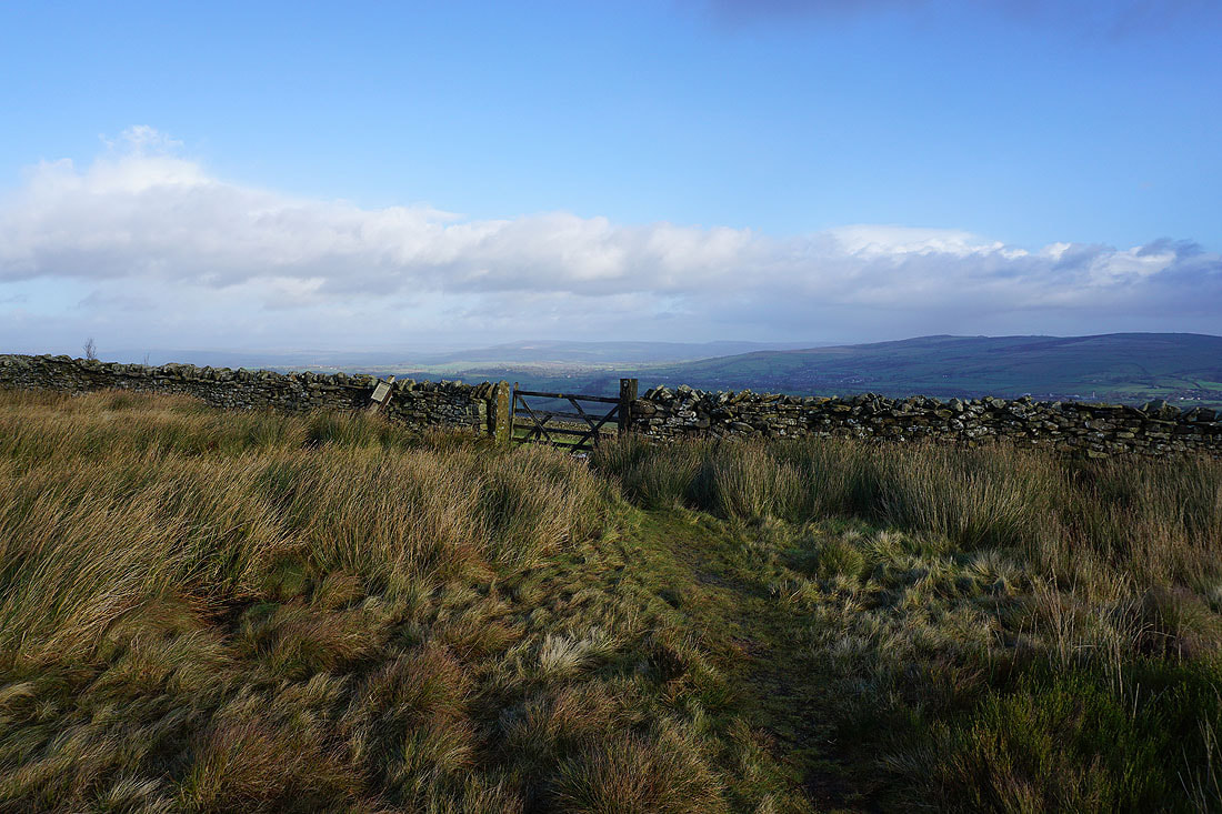
I crossed Lister Well Road and went through a gate onto access land, from where I get the same view but even better, especially as the sun is now out
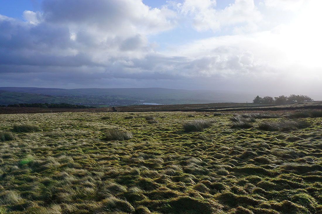
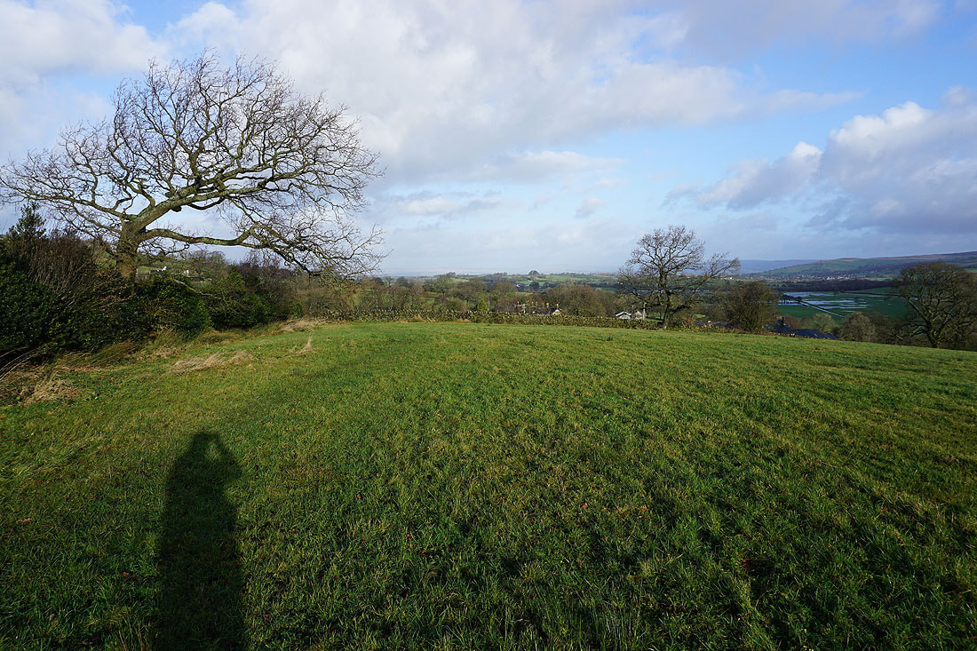
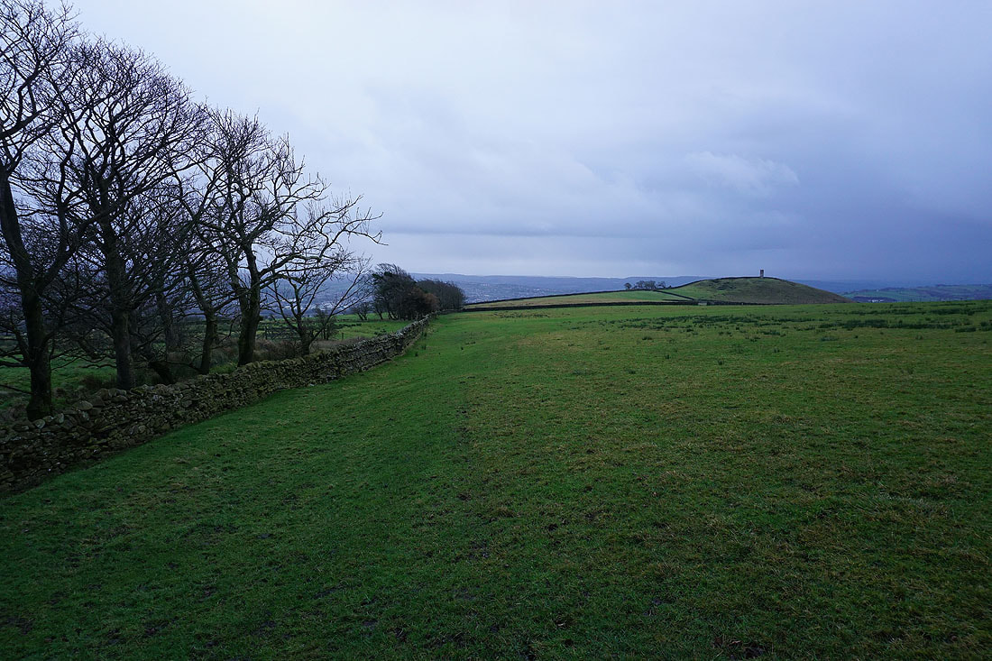
Along with this one of Foulridge, Foulridge Lower Reservoir, Boulsworth Hill, and Colne
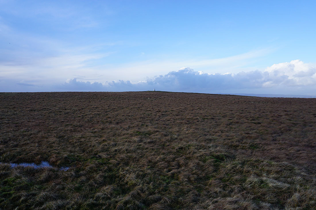
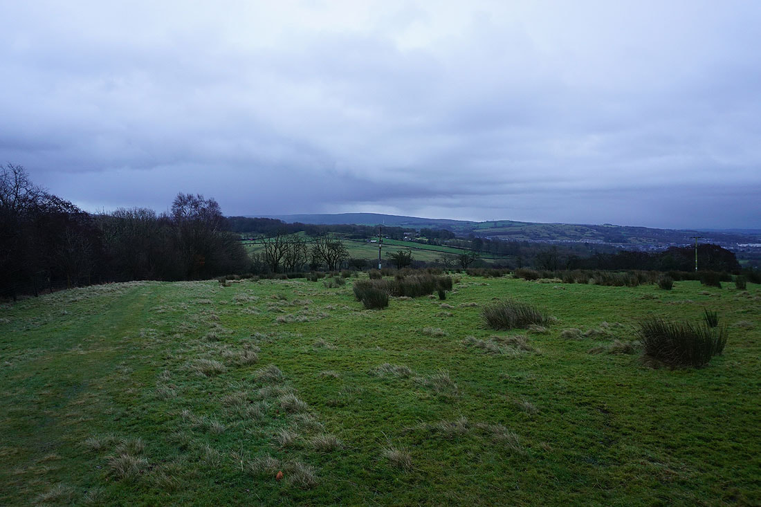
Making my way up access land towards the top of Weets Hill
To my left, Pendle Hill in the distance

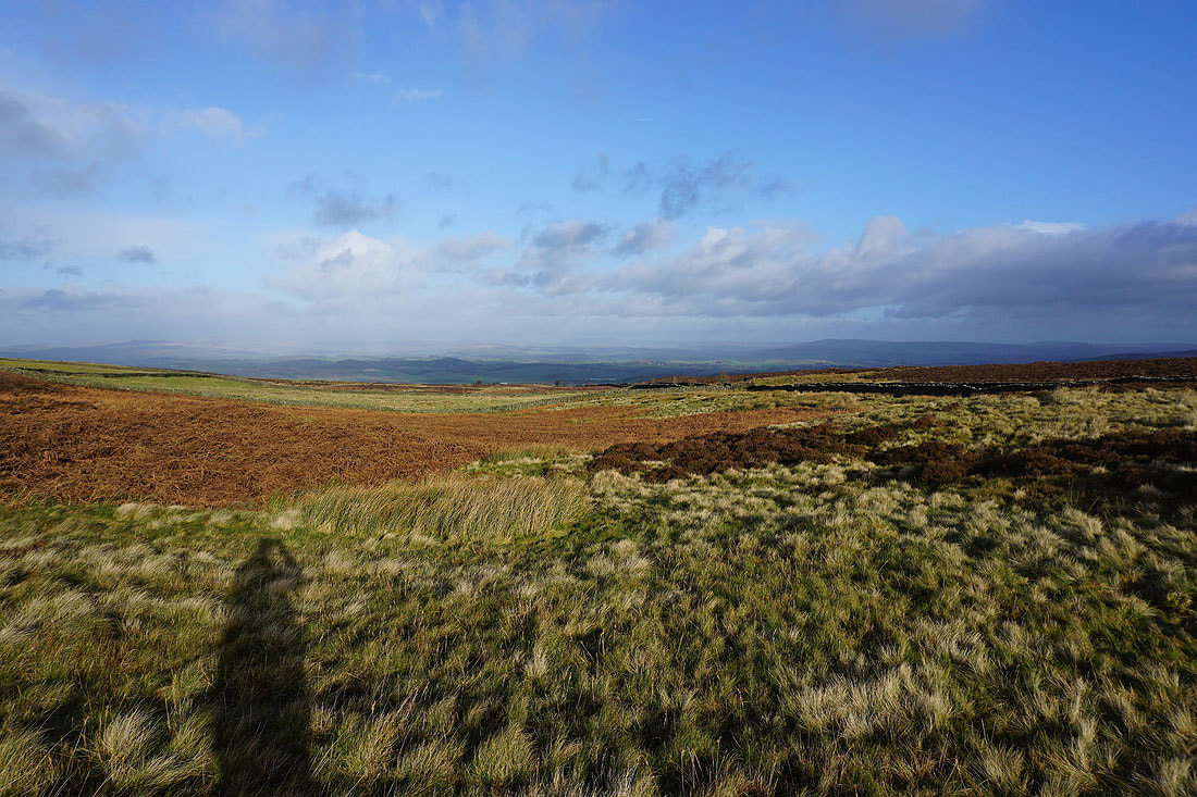
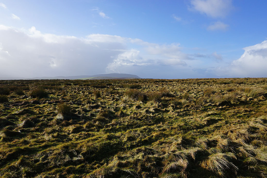
Blacko Hill and the Forest of Pendle, with the moors above Burnley in the distance. Fortunately those showers aren't coming this way.
The top of Pendle Hill from the eastern end of the summit
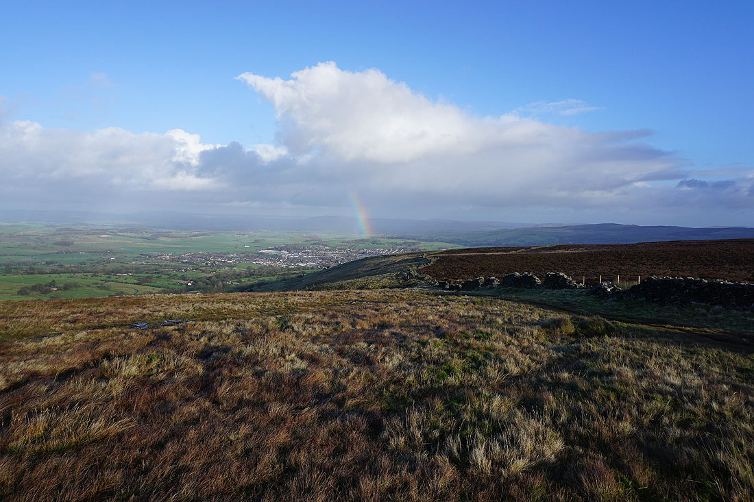
The town of Barnoldswick below with Barden Moor and Pinhaw Beacon in the distance. I'm fortunate to be looking this way to catch a brief rainbow.
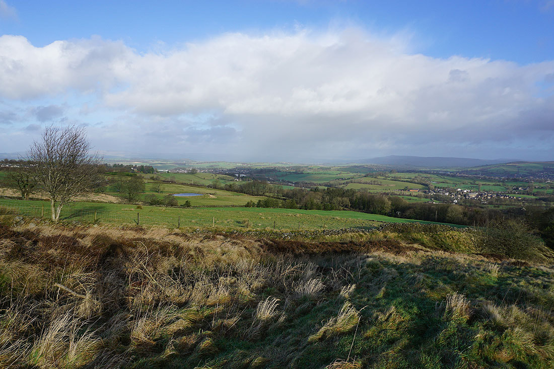
Looking north across the Ribble Valley to the Yorkshire Dales. The cloud is too low and the visibility not good enough to make out Ingleborough and Penyghent.
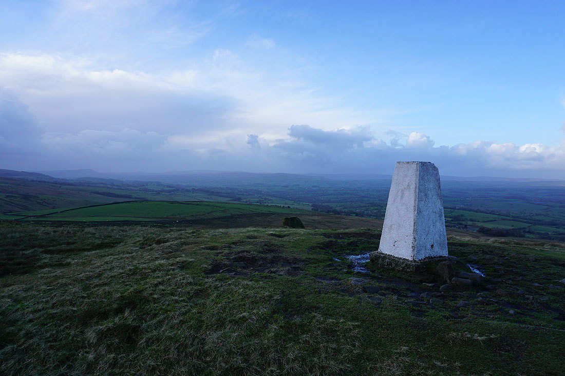
Pendle Hill ahead as I cross to the other side of Weets Hill
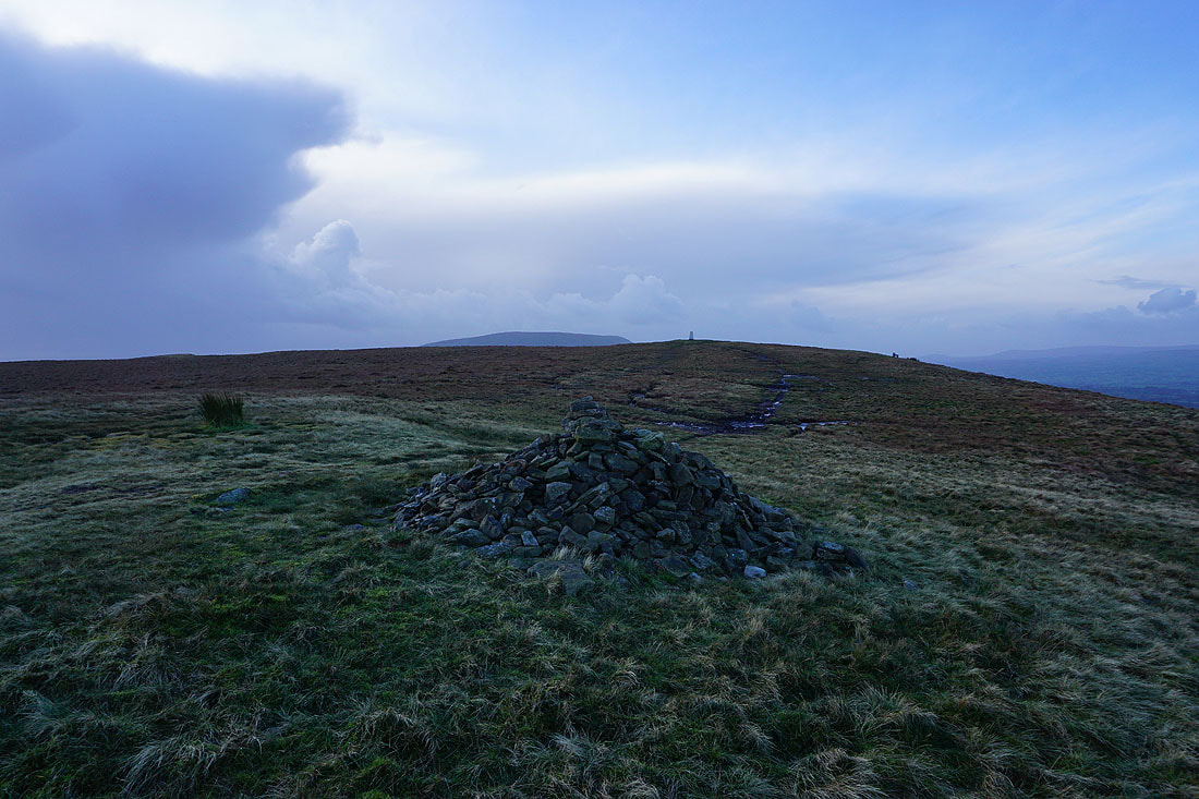
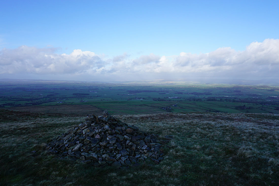
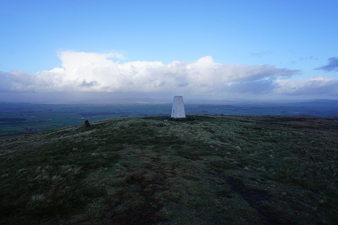
The trig point above to my right
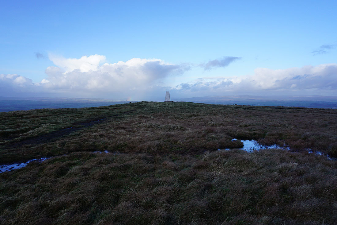
Dramatic skies to the north as I head up to the trig point after taking a break in the shelter of the summit wall
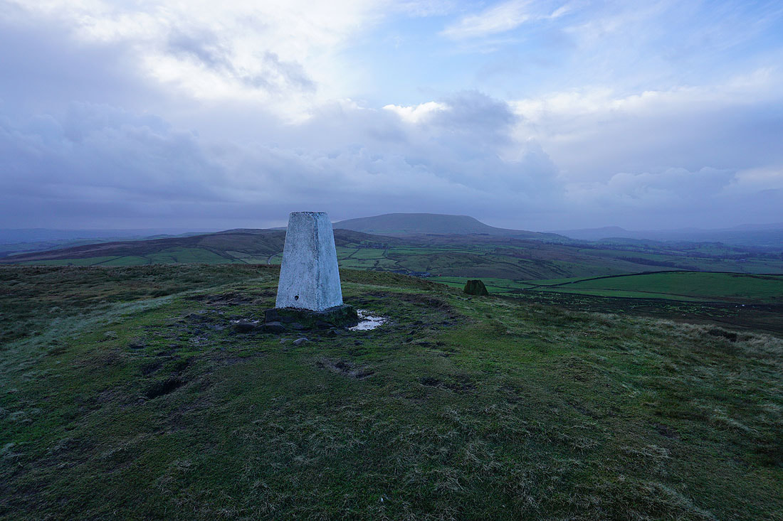
Pendle Hill from the trig point on Weets Hill
Great Whernside and Barden Moor to the northeast
The Forest of Bowland in the distance on the other side of the Ribble Valley
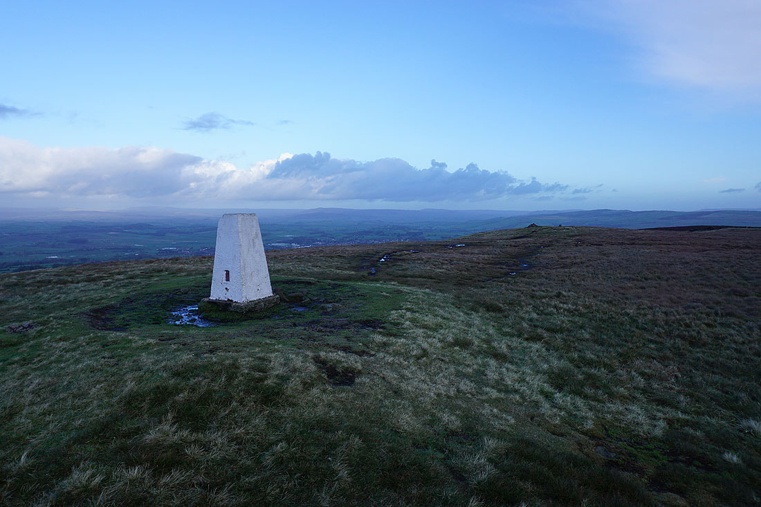
Before I move on, one last shot looking north to the Yorkshire Dales
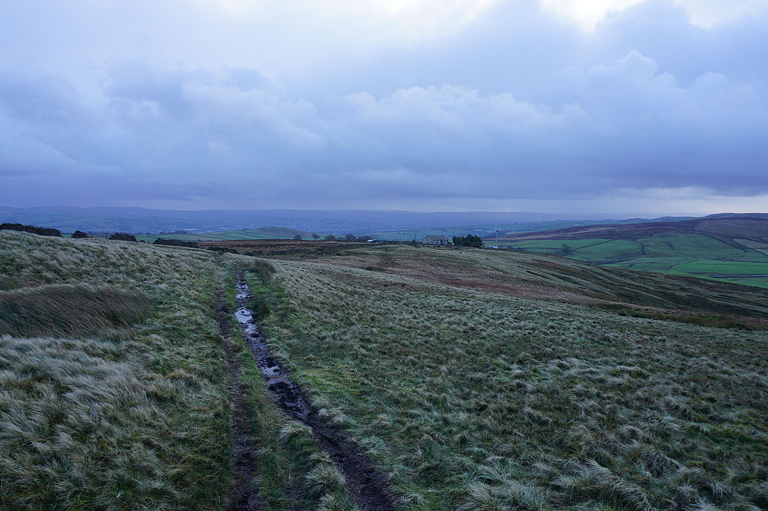
Heading for Weets House Farm
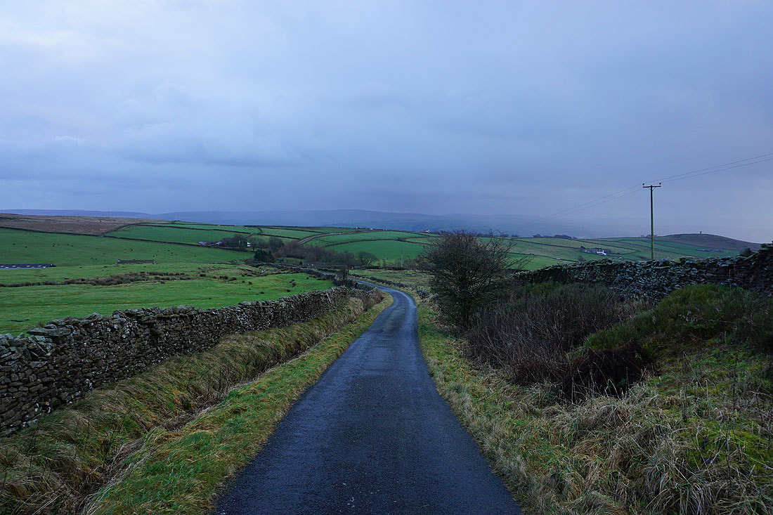
and then down Gisburn Old Road, with Boulsworth Hill in the distance
Blacko Hill, the Forest of Pendle, and Pendle Hill as I follow the Pendle Way towards Blacko Hill..
On Blacko Hill
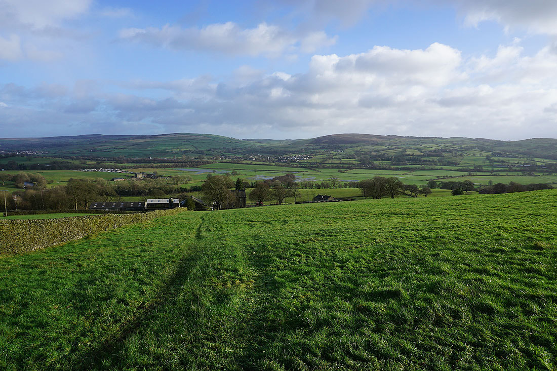
Ickornshaw Moor, Foulridge Lower Reservoir, and Boulsworth Hill in the distance as I head down from Blacko Hill..
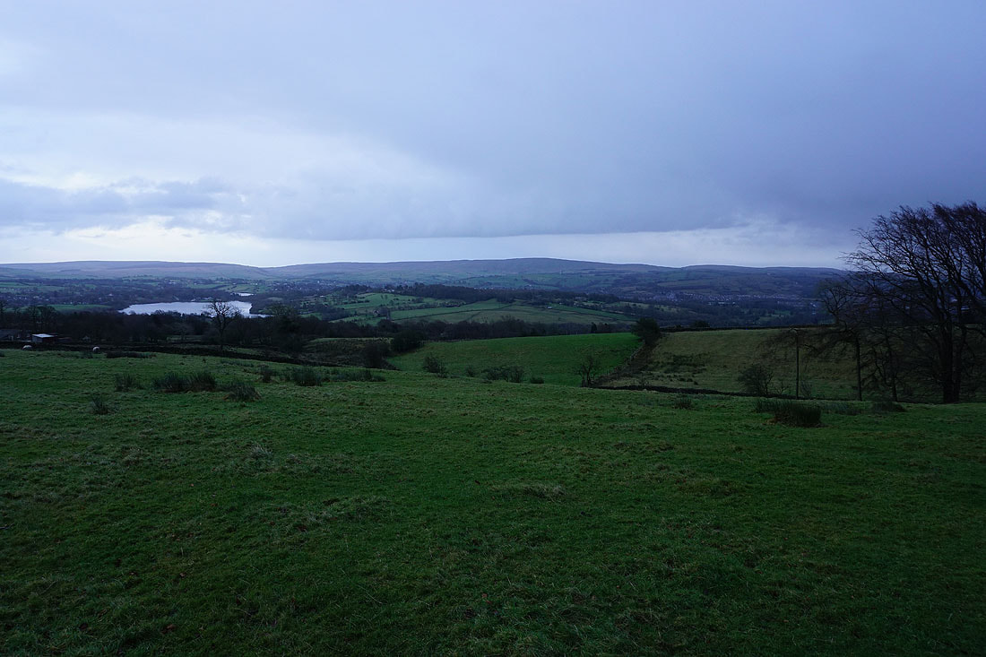
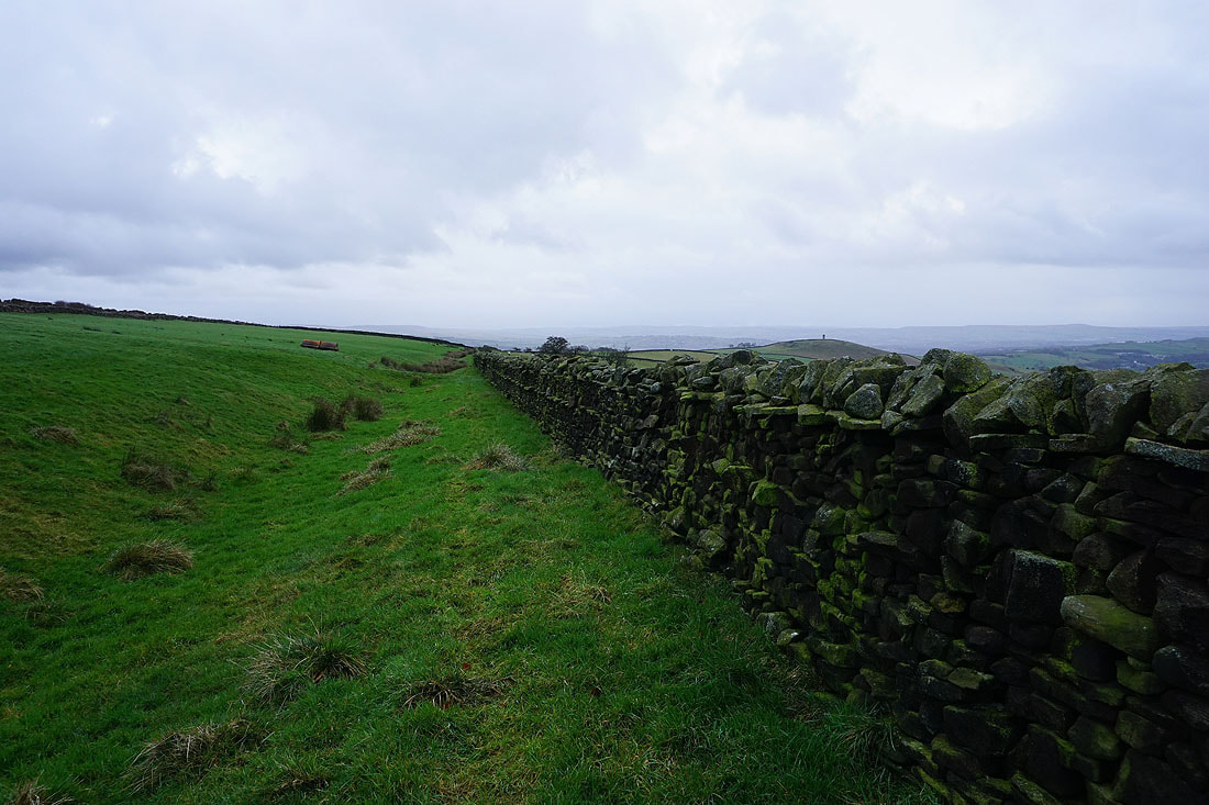
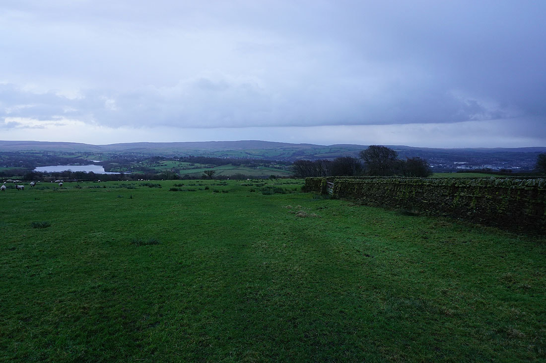
Boulsworth Hill as I head from Barnoldswick Road down to Slipper Hill Reservoir
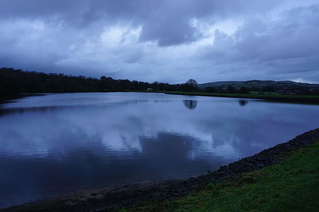
By Slipper Hill Reservoir
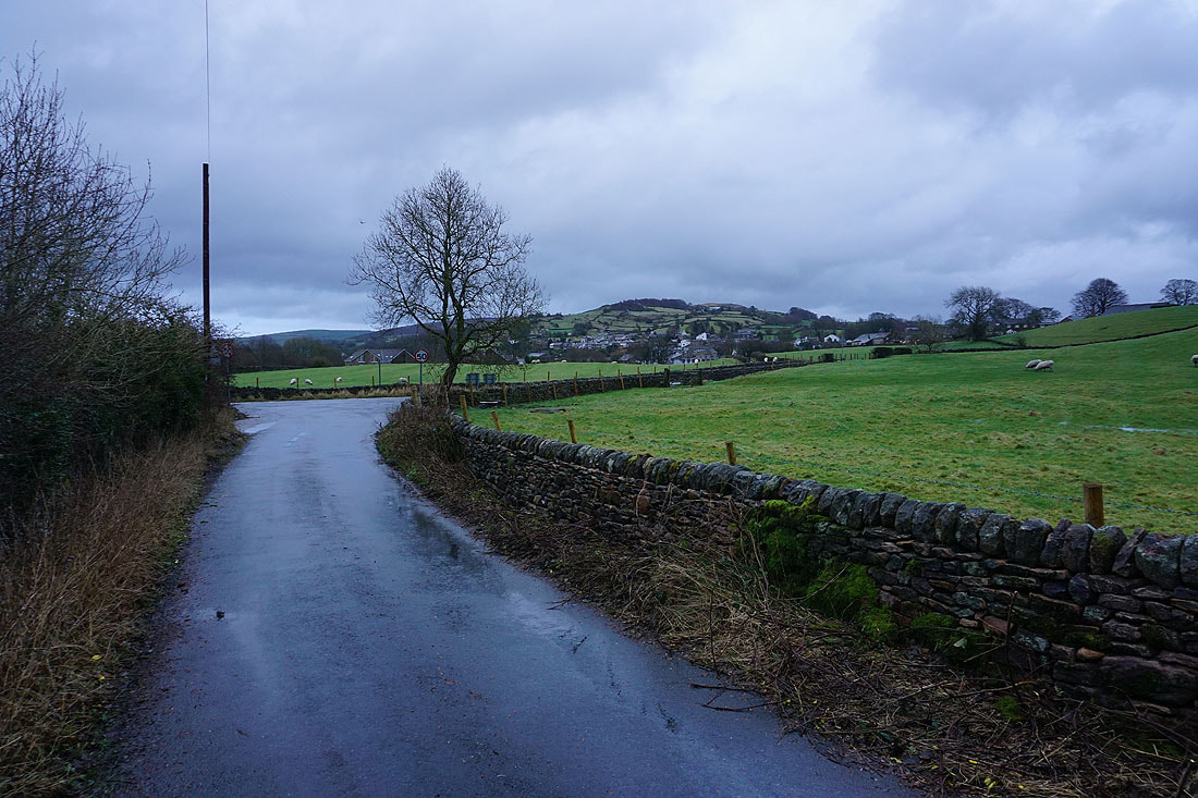
Walking along Reedymoor Lane back to Foulridge