29th January 2011 - Whitendale and the Roman Road
Walk Details
Distance walked: 12.9 miles
Total ascent: 2163 ft
OS map used: OL41 - Forest of Bowland & Ribblesdale
Time taken: 6.5 hrs
Route description: Slaidburn-Burn Side-Dunsop Fell-Whitendale-Hornby Road-Higher Wood House-House Lane-Slaidburn
A walk from Slaidburn over Dunsop Fell, through Whitendale with a return by the Hornby Road bridleway.
Route map
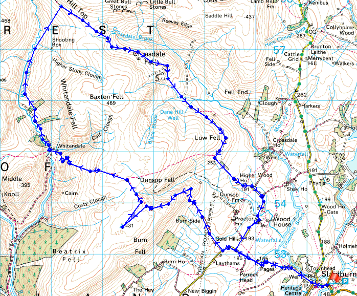
© Crown copyright. All rights reserved. License number PU 100034184.
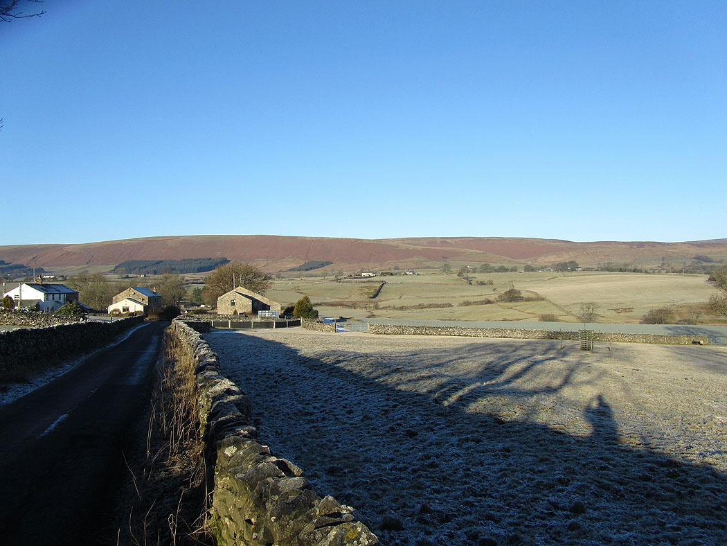
Dunsop Fell ahead from the road north out of Slaidburn
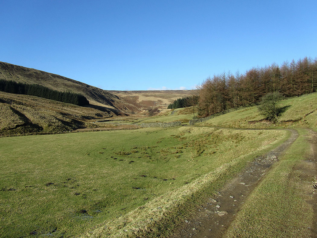
Countryside near Slaidburn
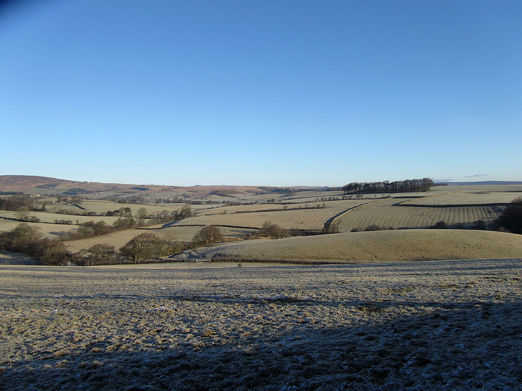
Looking back as I make my way up Dunsop Fell. The patch of water on the right is Stocks Reservoir.
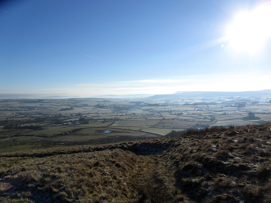
The Hodder valley from Dunsop Fell
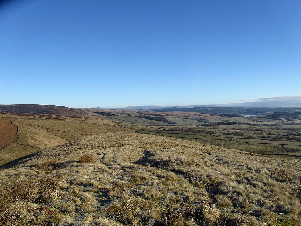
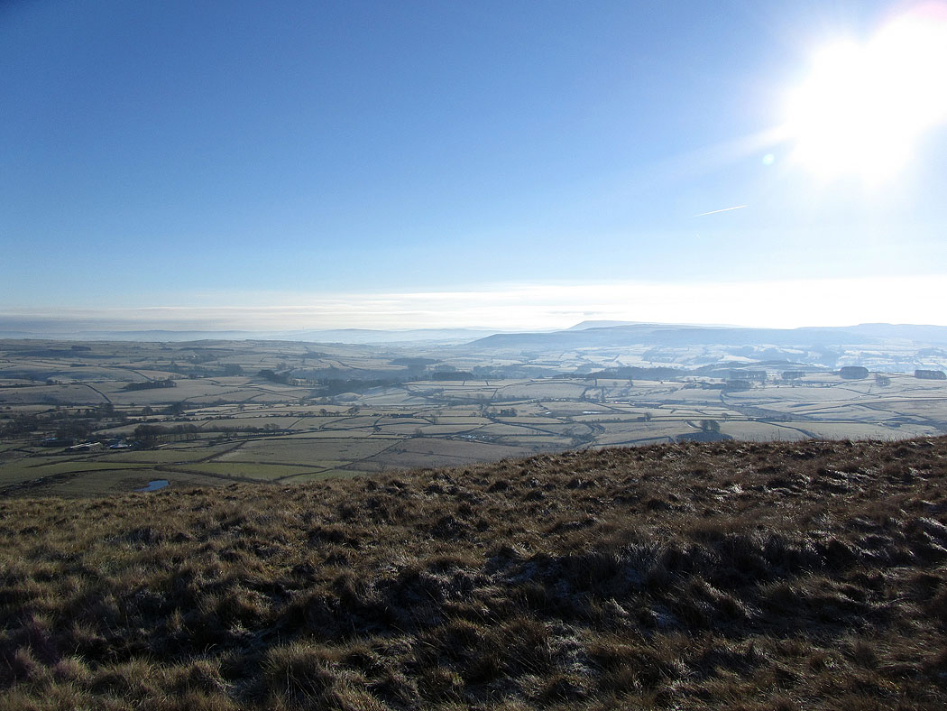
Higher up. The two high points on the far skyline on the left are Penyghent and Fountains Fell in the Yorkshire Dales.
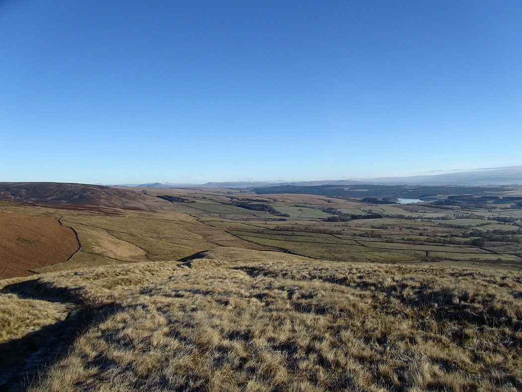
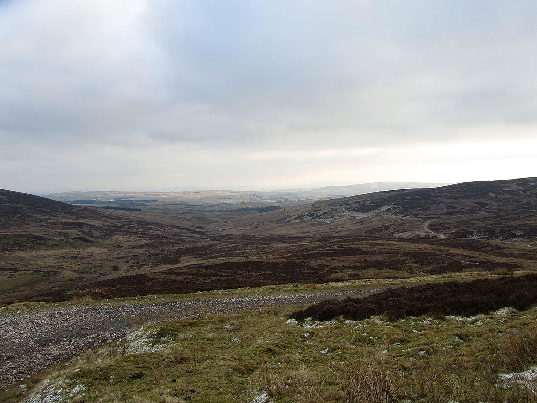
The Hodder valley. The highest hill is Pendle Hill.
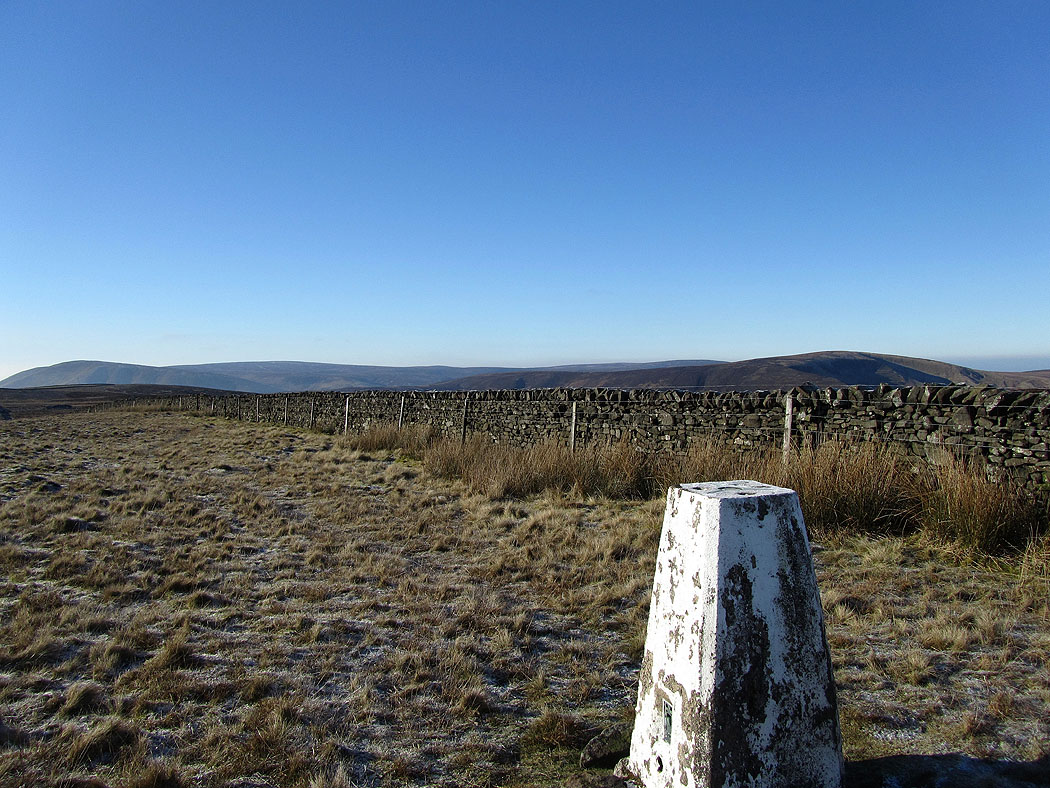
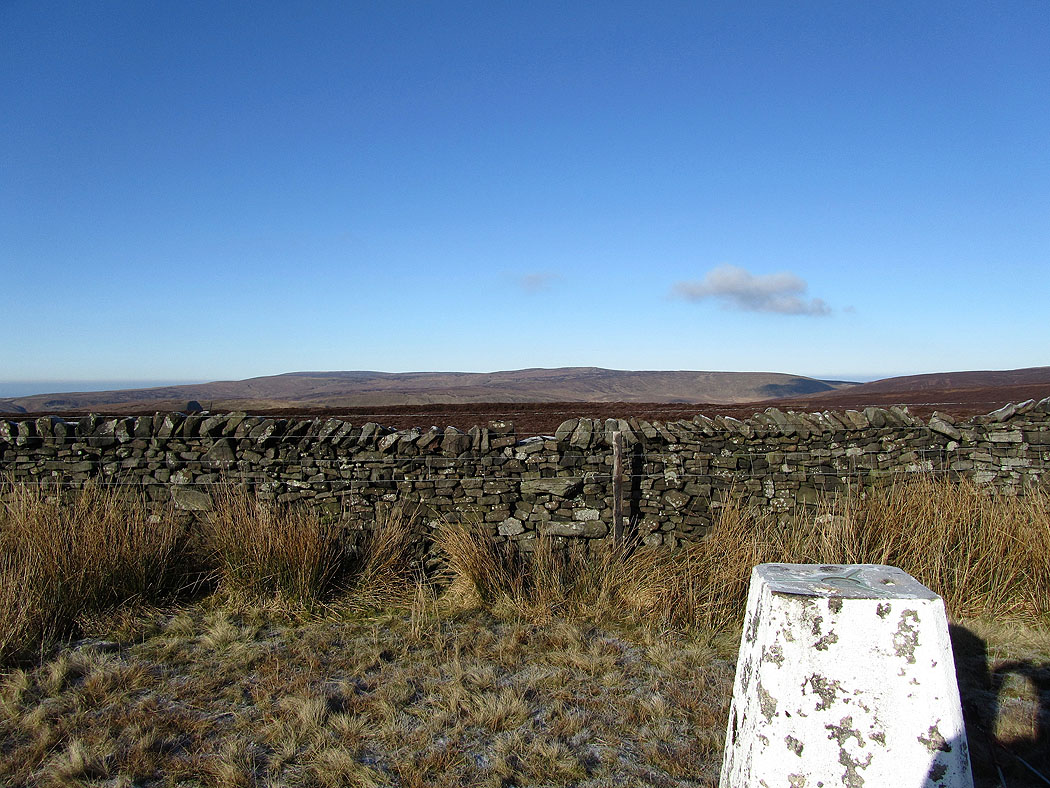
At the trig point on the summit of Dunsop Fell. In the background, Totridge on the left and Whin Fell on the right.
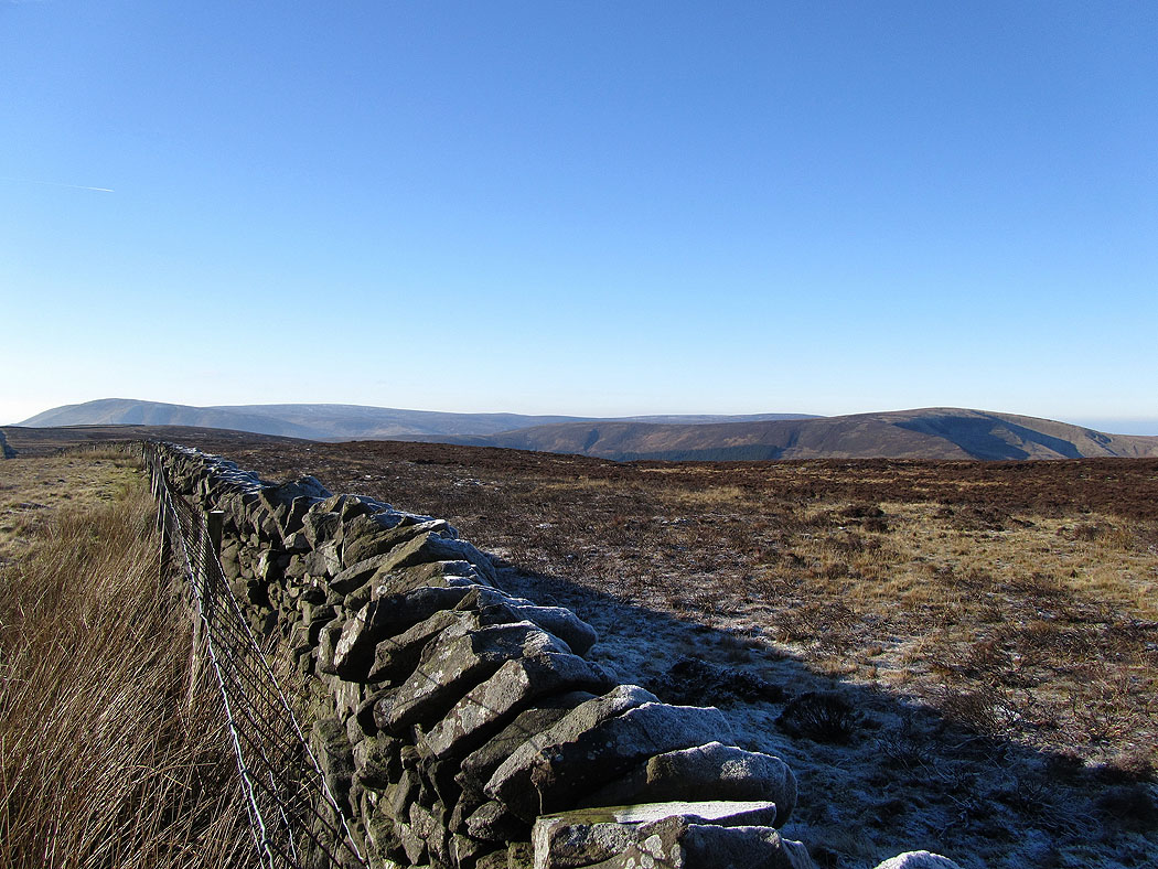
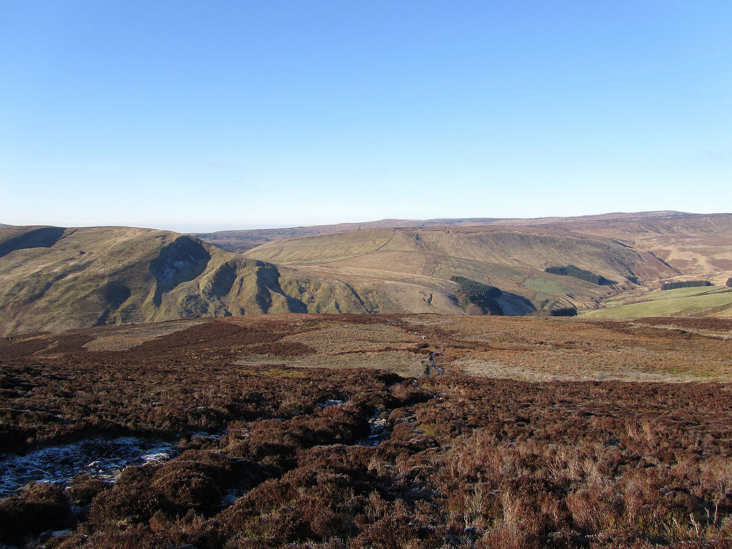
Looking northwest towards Ward's Stone and Wolfhole Crag
Totridge on the left and Whin Fell on the right
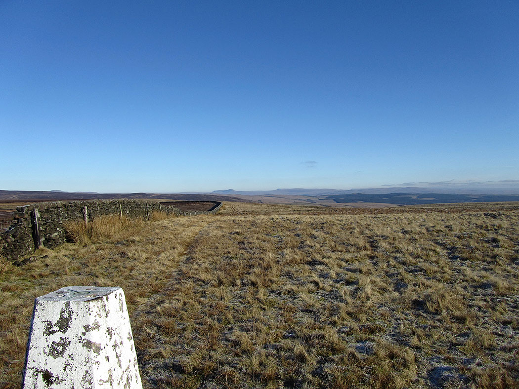
Looking northeast. The top of Ingleborough can just be seen on the skyline above the trig point along with Penyghent and Fountains Fell.
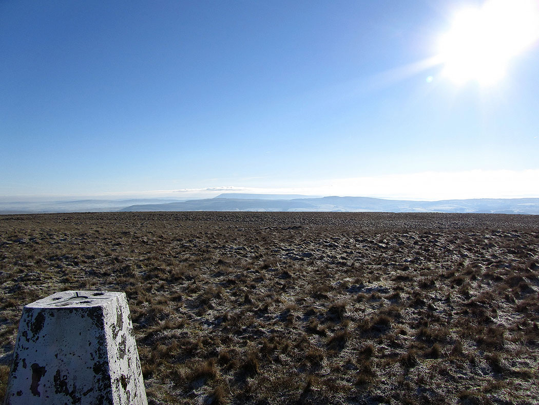
Pendle Hill to the south
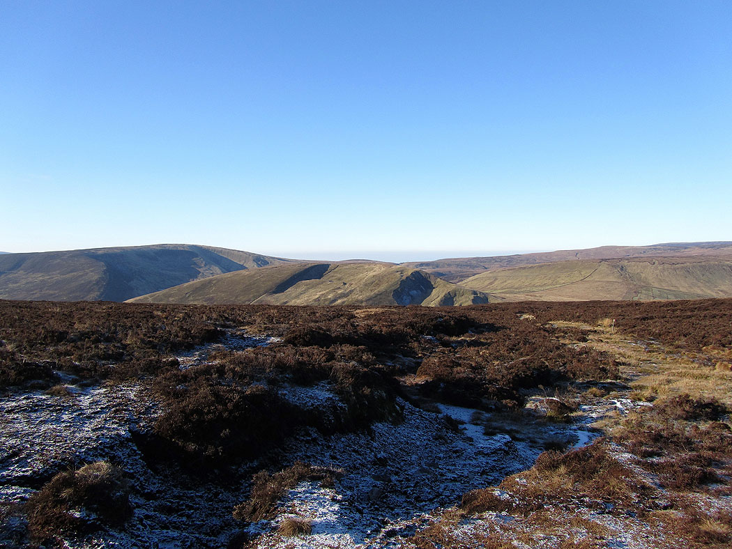
Starting the descent to Whitendale. Whin Fell is on the left and Middle Knoll straight ahead.
On the way down. A hard frost overnight has left the ground solid. It would be muddy or wet underfoot otherwise.
Middle Knoll on the left with the ground rising to the high point of Wolfhole Crag on the right
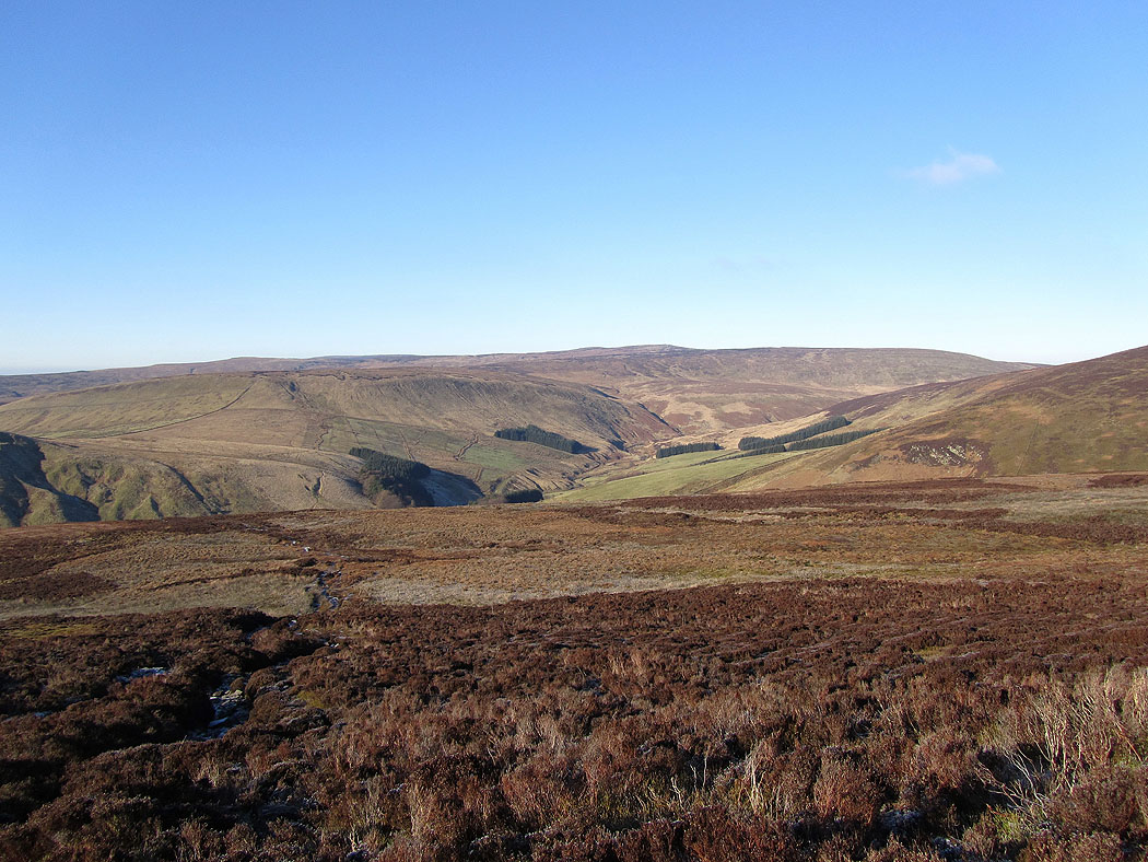
Whitendale ahead..
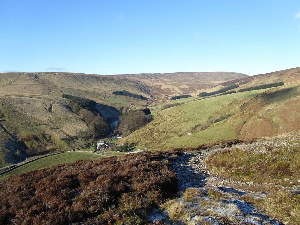
On the path up Whitendale
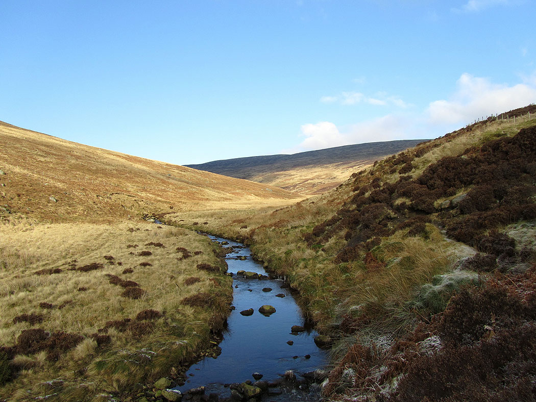
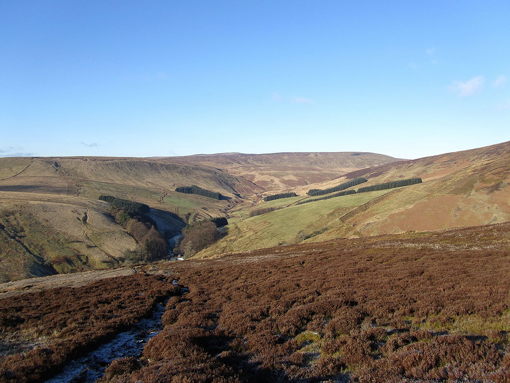
Near the top of Whitendale
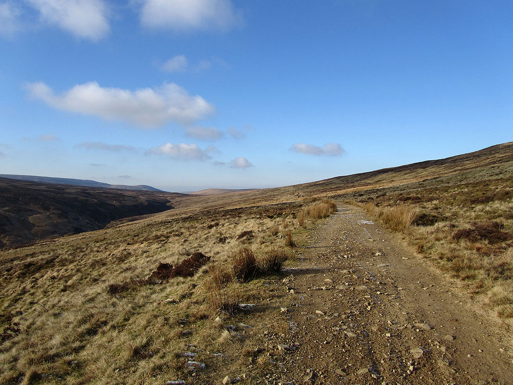
The path emerges from Whitendale onto the track of Hornby Road. This part of Hornby Road is marked on the OS map as a Roman Road and follows the route of the roman road from Ribchester north to Burrow-in-Lonsdale.
Following Hornby Road back to Slaidburn