29th January 2017 - Pendle Hill
Walk Details
Distance walked: 8.7 miles
Total ascent: 1390 ft ascent
OS map used: OL41 - Forest of Bowland & Ribblesdale
Time taken: 5 hrs
Route description: Barley-Lower Ogden Reservoir-Upper Ogden Reservoir-Ogden Clough-Pendle Hill-Downham Moor-Worston Moor-Scout Cairn-Mearley Moor-Ogden Clough-Upper Ogden Reservoir-Lower Ogden Reservoir-Barley
Not the best of weather this weekend. Yesterday was a write off with wind and rain and today's forecast was uncertain and kept changing every time that I looked at it. Rain was supposed to move in during the afternoon but things looked much better than I expected when I looked outside this morning. So, I decided to stay local and head to Barley for my first ascent of Pendle Hill this year. Arriving at 0915 I found it to be very quiet and I set off with lots of blue skies and sunshine. It stayed this way for longer than I expected but it did finally start to cloud over as I was heading back to Barley in the early afternoon. I returned to find the place absolutely packed.
From the car park in Barley I set off by taking the private road past the old waterworks buildings up to Lower and Upper Ogden Reservoirs. I then continued along the path up Ogden Clough and up the flagged path to reach the trig point and summit. After taking in the view I made my way north to the stile to cross it onto Downham Moor. The path was followed west across Downham Moor to Worston Moor where I reached the circular shelter and my stop for lunch. That had, I continued southwest to the Scout Cairn and then across Mearley Moor. When I reached the cairn at the end of Mearley Moor I made my way east across the top of Howcroft Brook to the track up from the Nick of Pendle. I was on this briefly before descending into Ogden Clough to pick up the path I used on my outbound route. I then retraced my steps back to Barley.
Route map
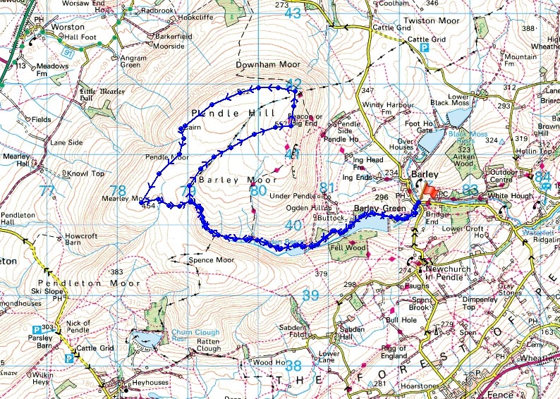
© Crown copyright. All rights reserved. License number PU 100034184.
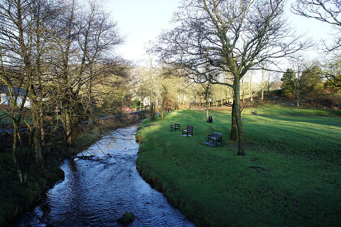
It's a sunny morning as I set off from the picnic site in Barley
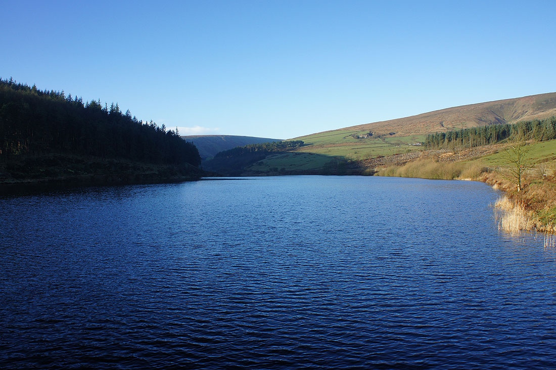
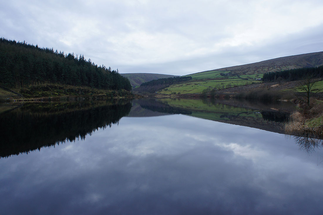
At Lower Ogden Reservoir
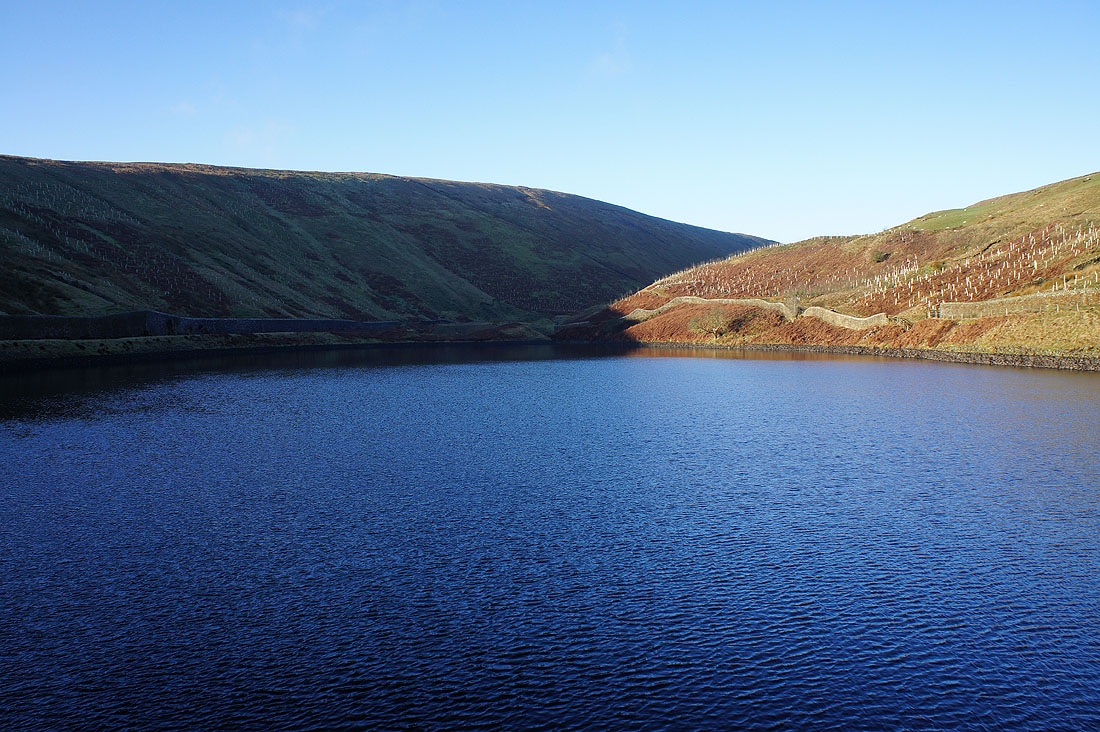
and Upper Ogden Reservoir
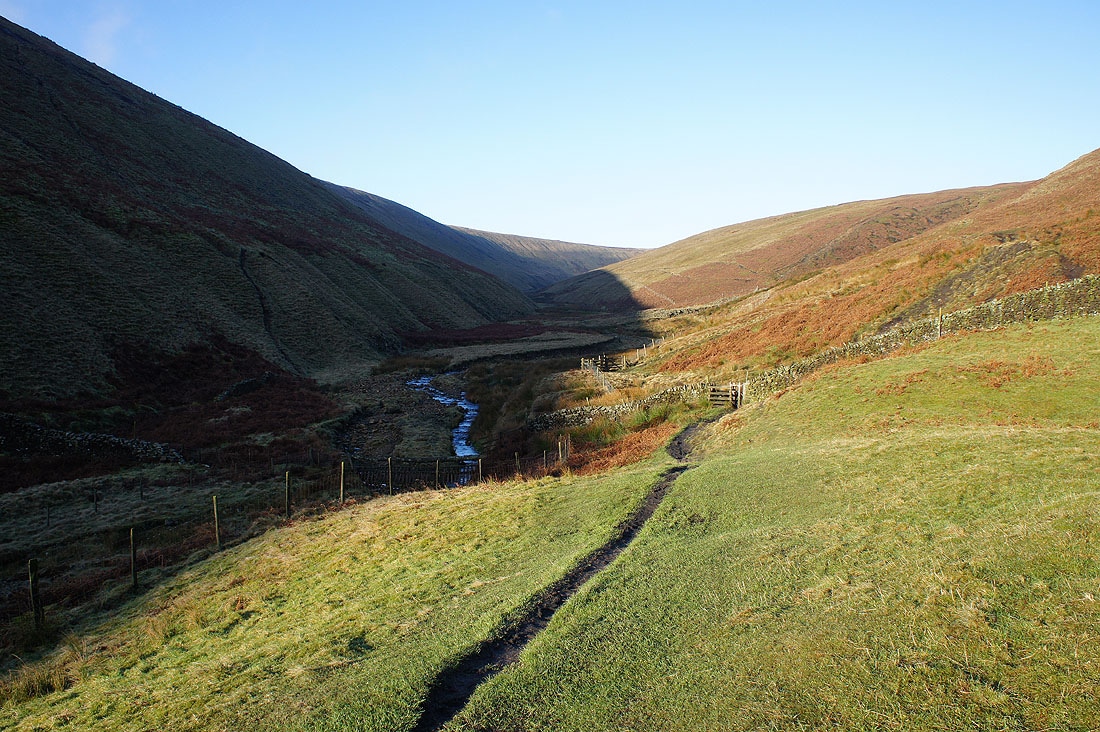
My route continues with the path up Ogden Clough
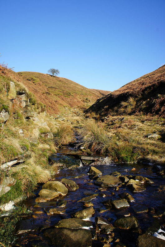
Crossing Boar Clough
Higher up the clough and the path crosses to its other side
and continues to follow it uphill
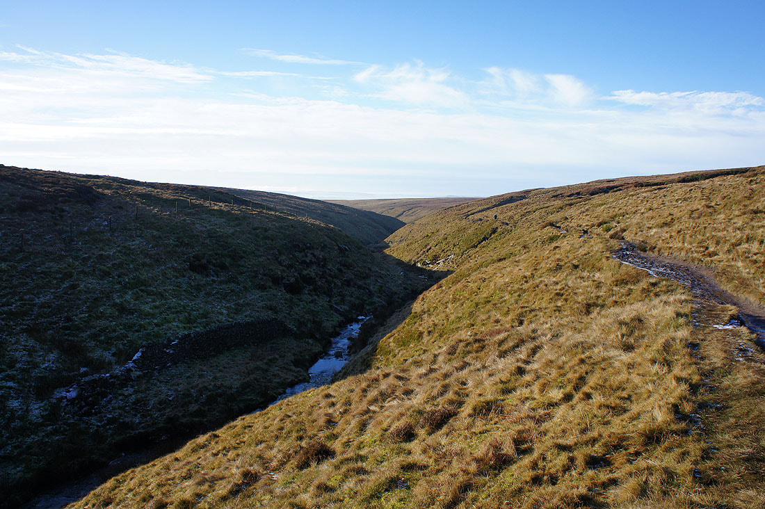
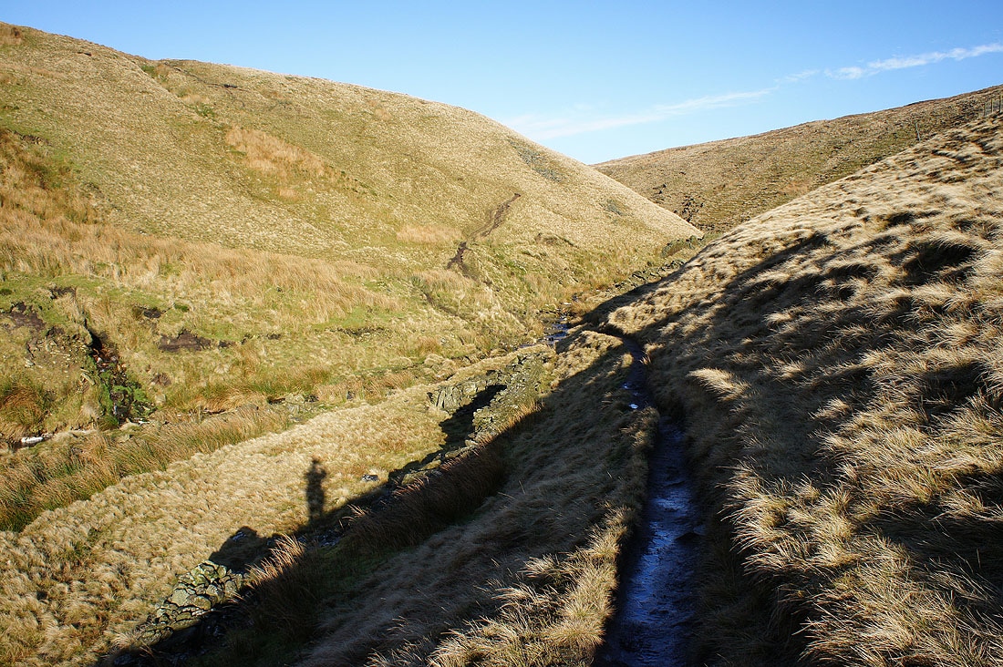
Looking back down Ogden Clough
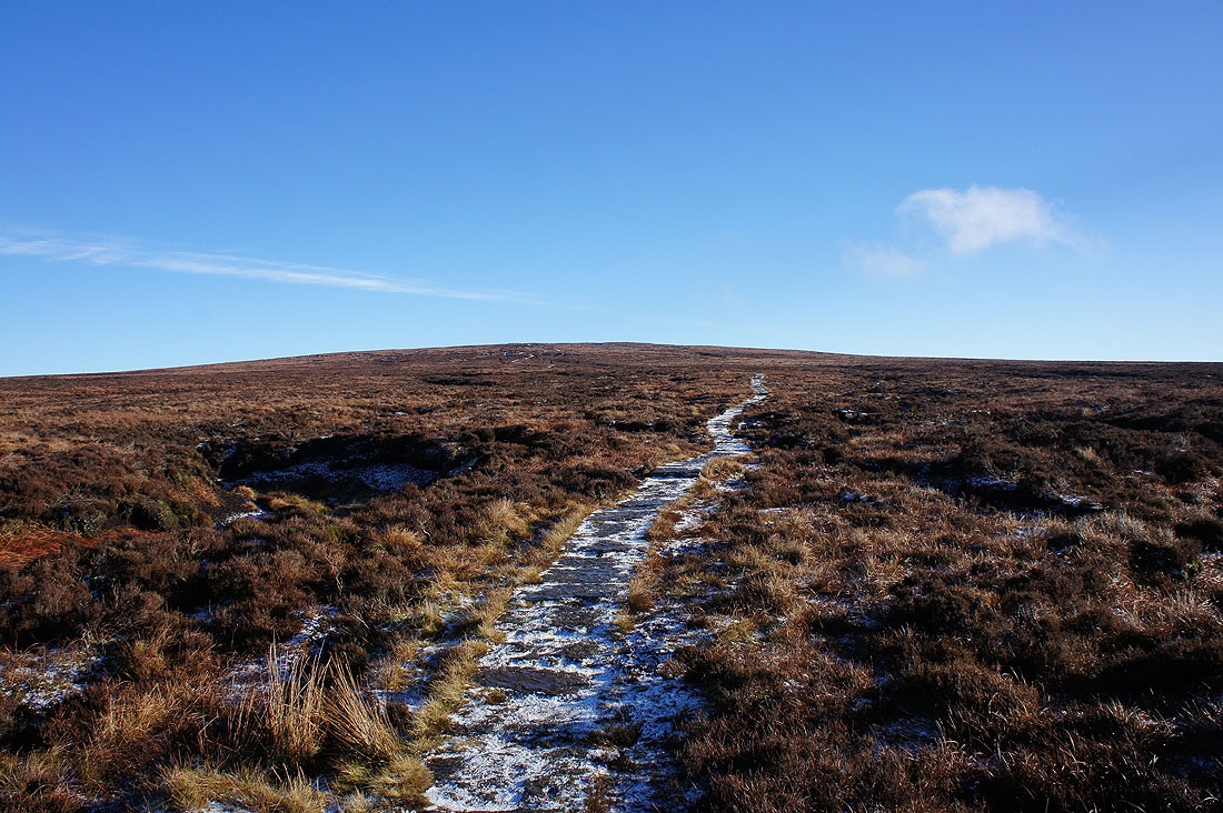
Ogden Clough left behind and on the flagged path to the summit
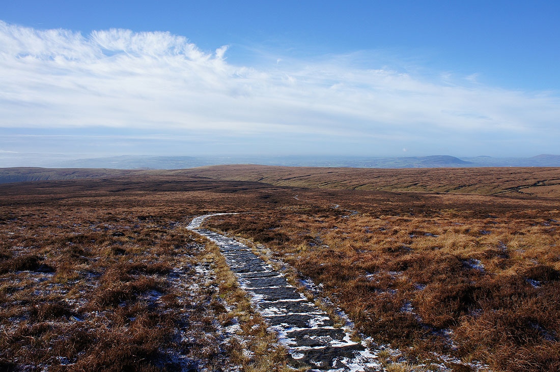
Fantastic views towards the Ribble Valley as I turn around
and across to the fells of the Forest of Bowland. The higher ones in the distance have a cover of snow.
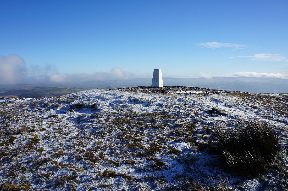
On the summit of Pendle Hill and at a briefly unoccupied trig point
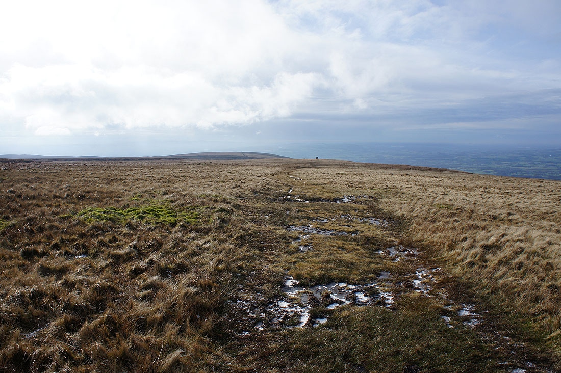
Looking north to the Yorkshire Dales and for a time I could make out a snow covered Ingleborough and Penyghent before they were hidden by cloud
The Black Moss Reservoirs, Barley and Lower Ogden Reservoir. Boulsworth Hill can be made out through the patches of cloud.
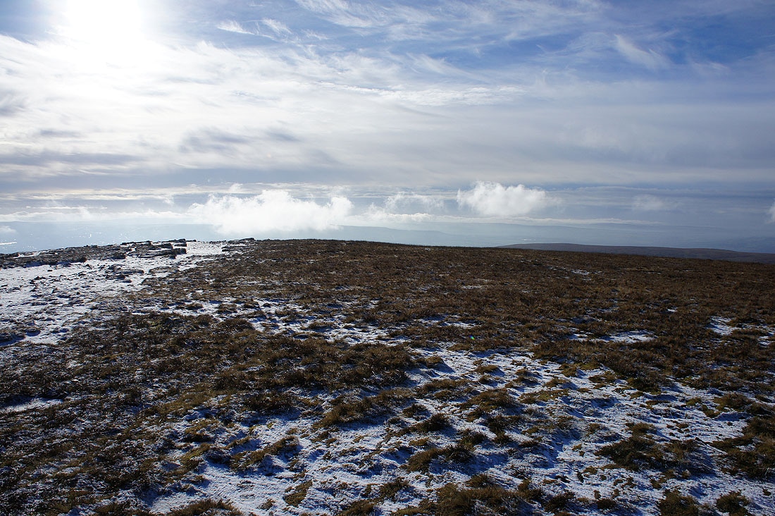
Misty weather as I look south towards the West Pennine Moors
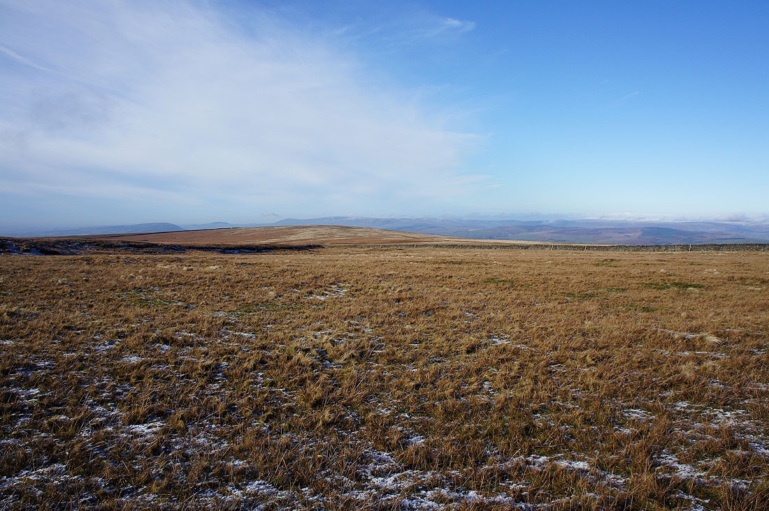
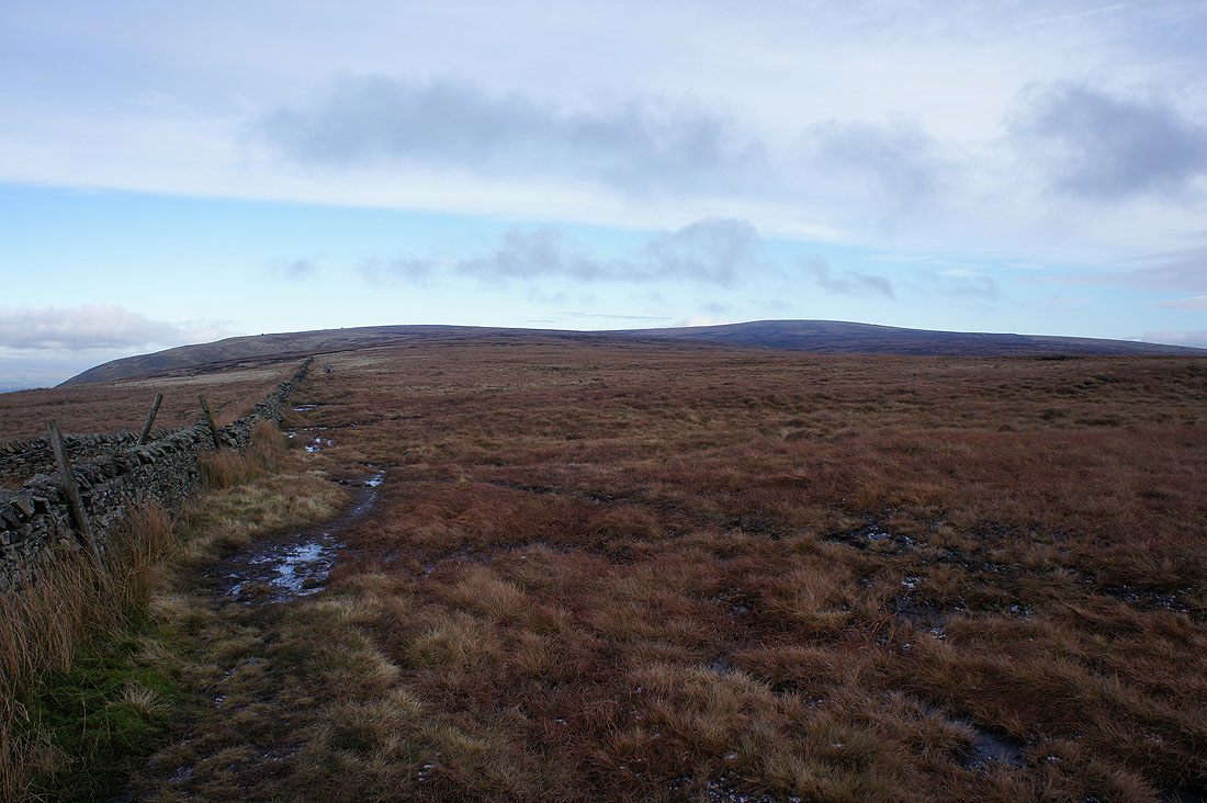
The bulk of Downham Moor forms the northern half of Pendle Hill and that's where I'm heading now
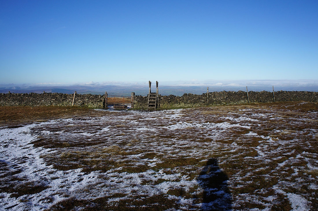
via the stile
Snow dusted wall
and frozen pool
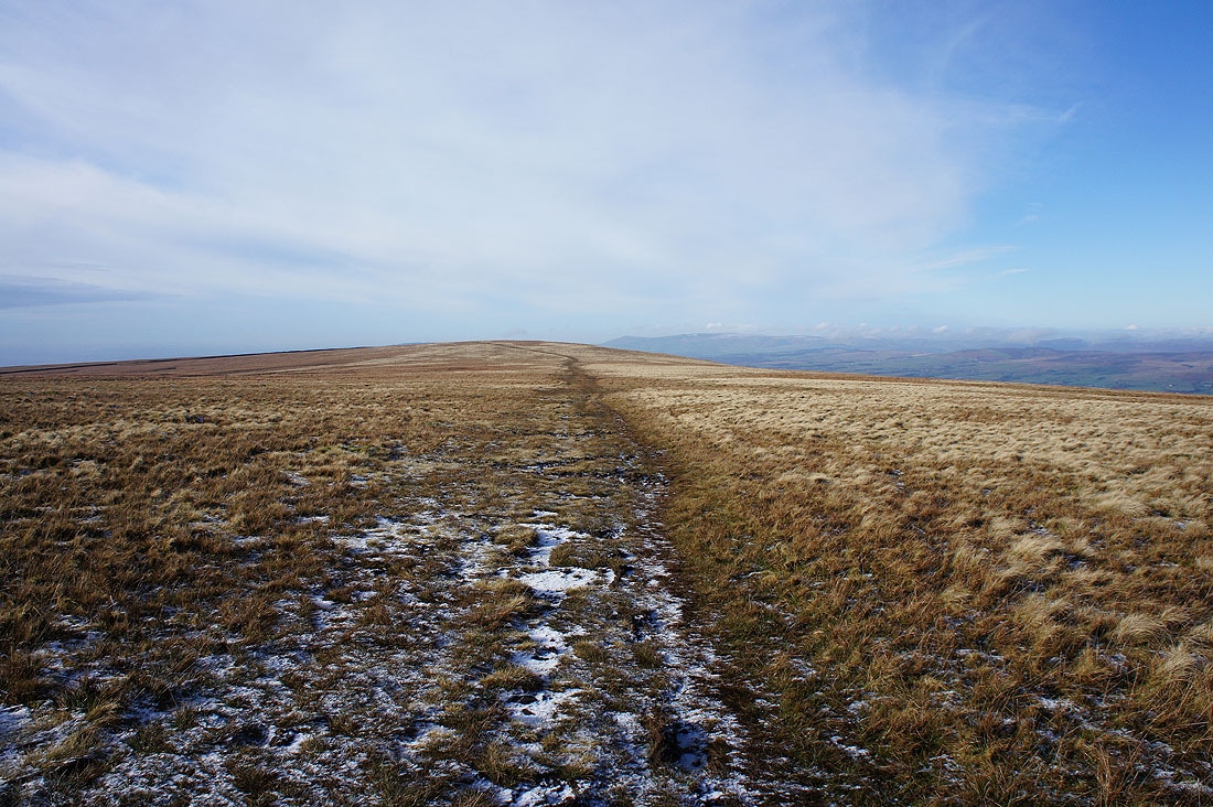
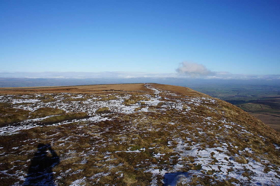
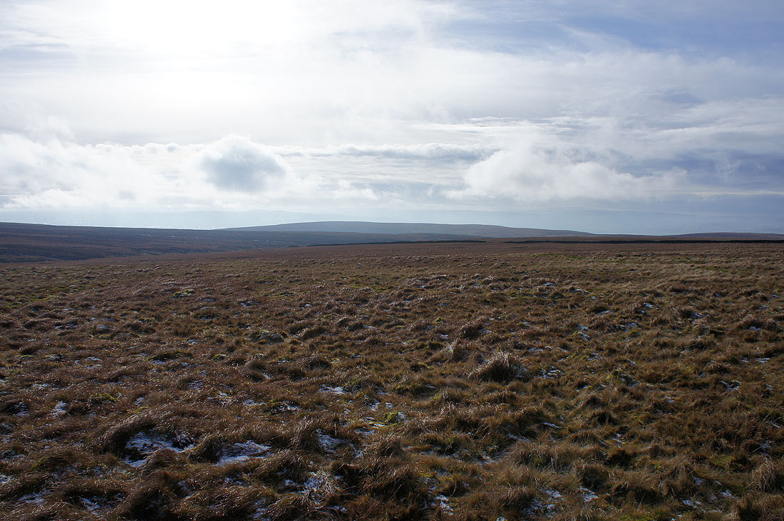
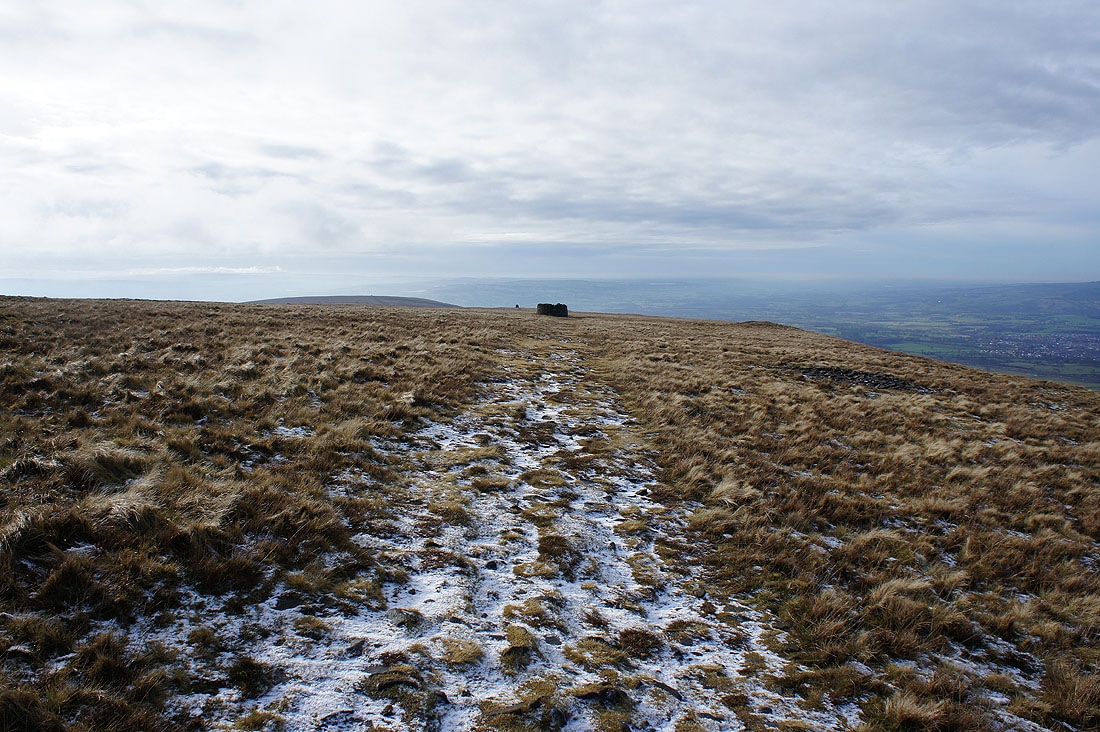
Striding out across Downham Moor. This is my favourite part of Pendle Hill, much quieter than the summit.
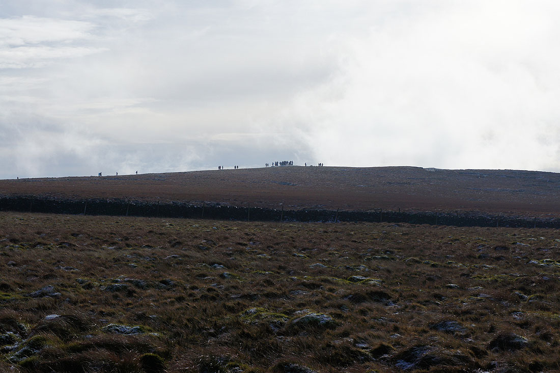
and that's certainly busy at the moment
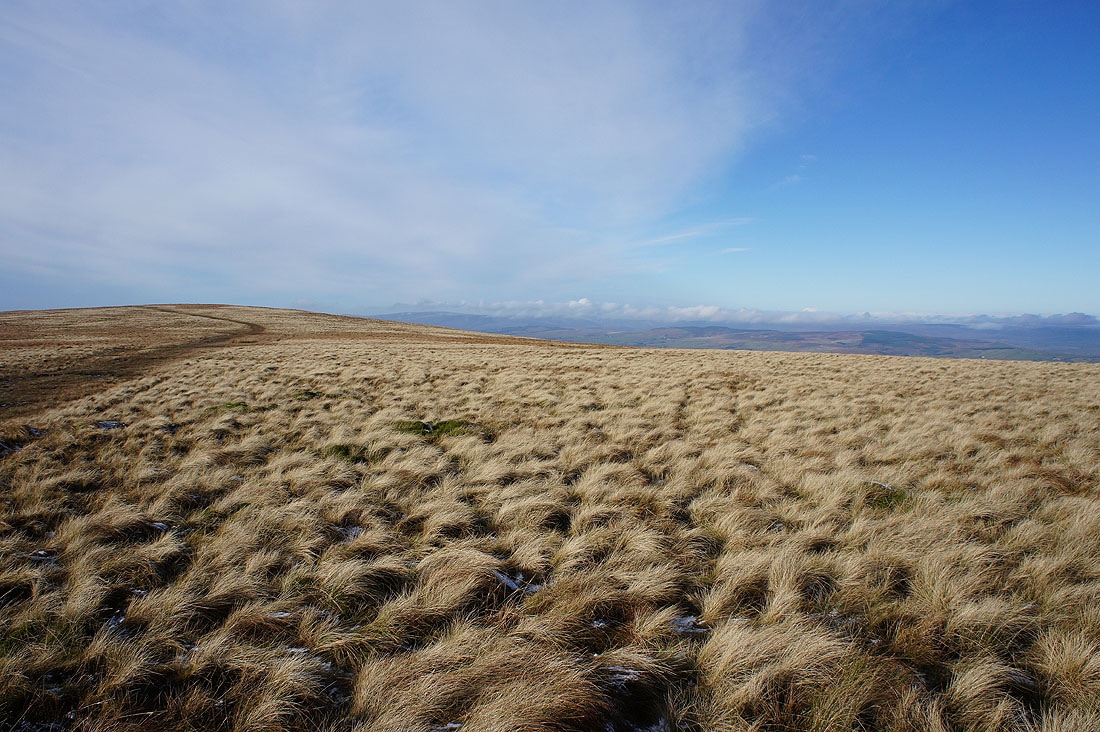
Great colours on the moors this lunchtime
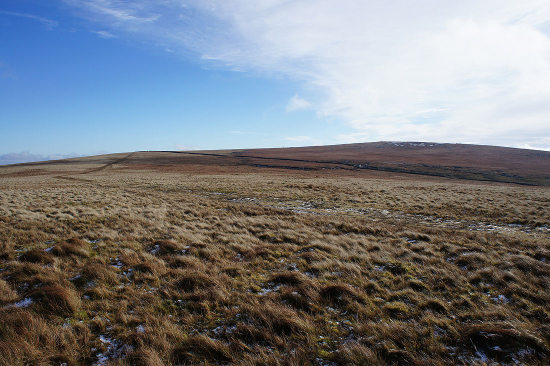
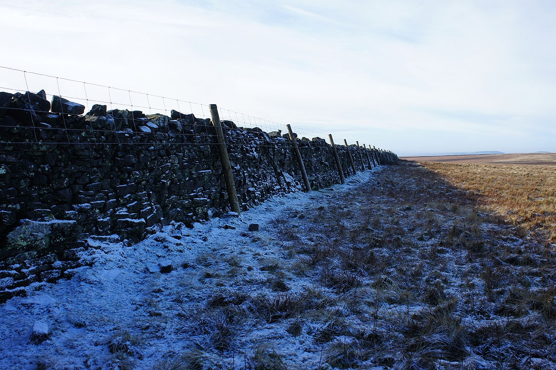
Looking back to the wall and the summit
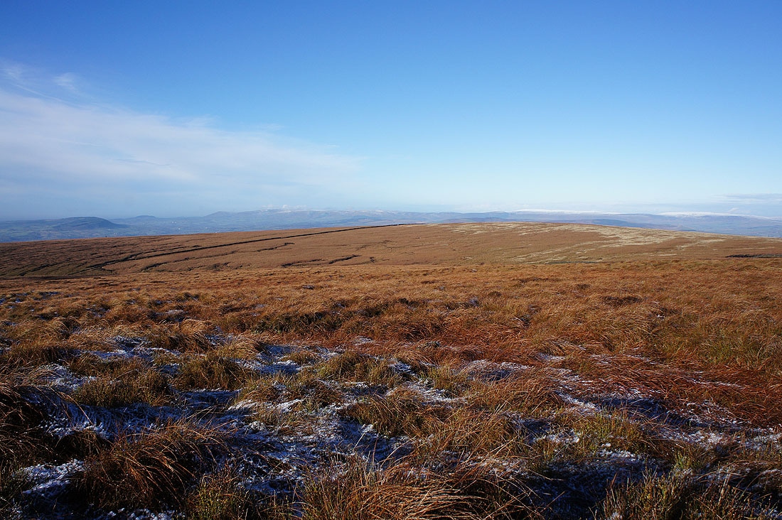
Spence Moor to the south
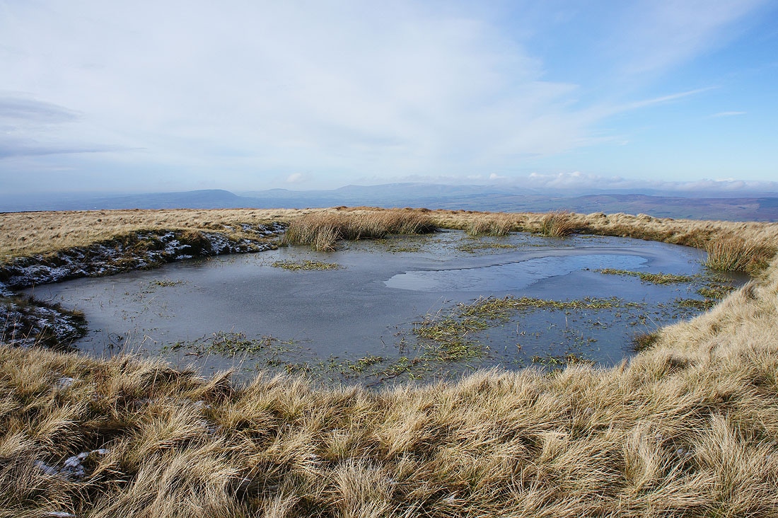
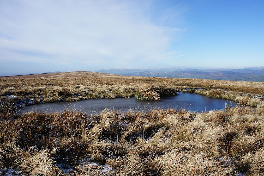
Longridge Fell, Beacon Fell, Parlick and Fair Snape Fell in the Forest of Bowland form a backdrop for another frozen pool
Approaching the stile onto Worston Moor
Before crossing the stile I had a look up the Ribble Valley towards the Yorkshire Dales. Unfortunately low cloud has more or less hidden them. I can see the village of Downham below though.
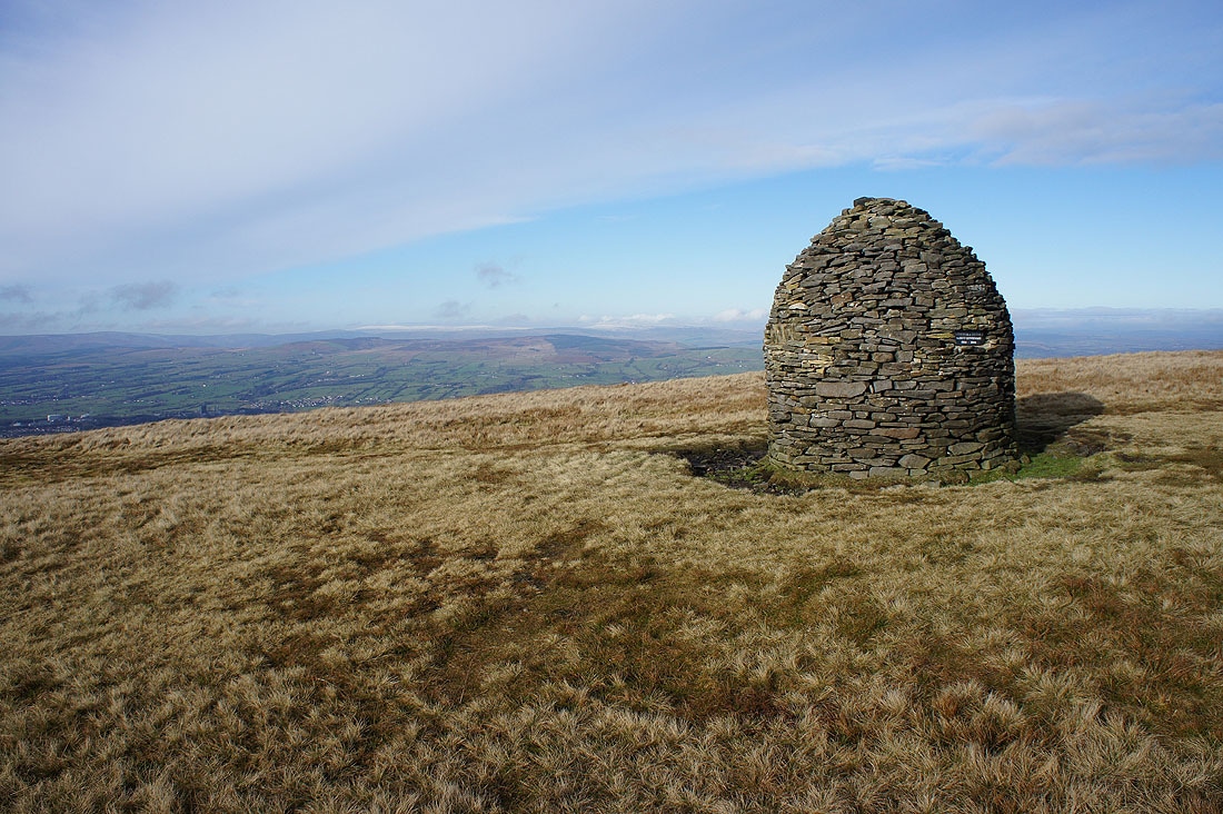
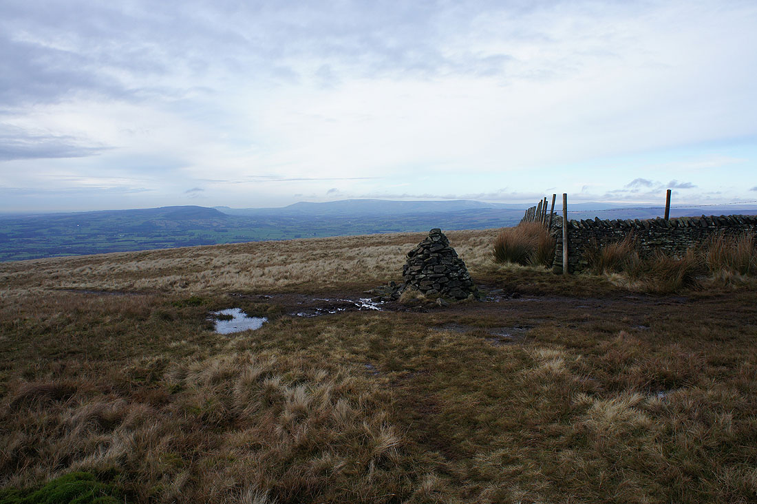
Approaching the circular shelter and my lunch stop on Worston Moor. The Scout Cairn can be seen in the distance behind it.
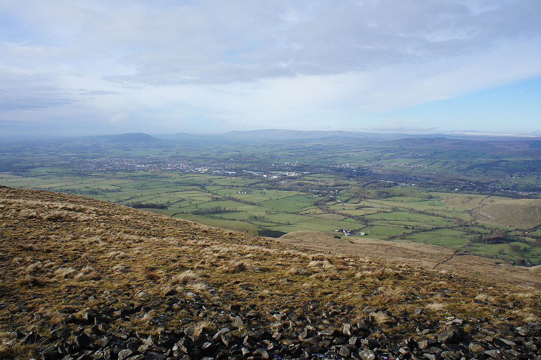
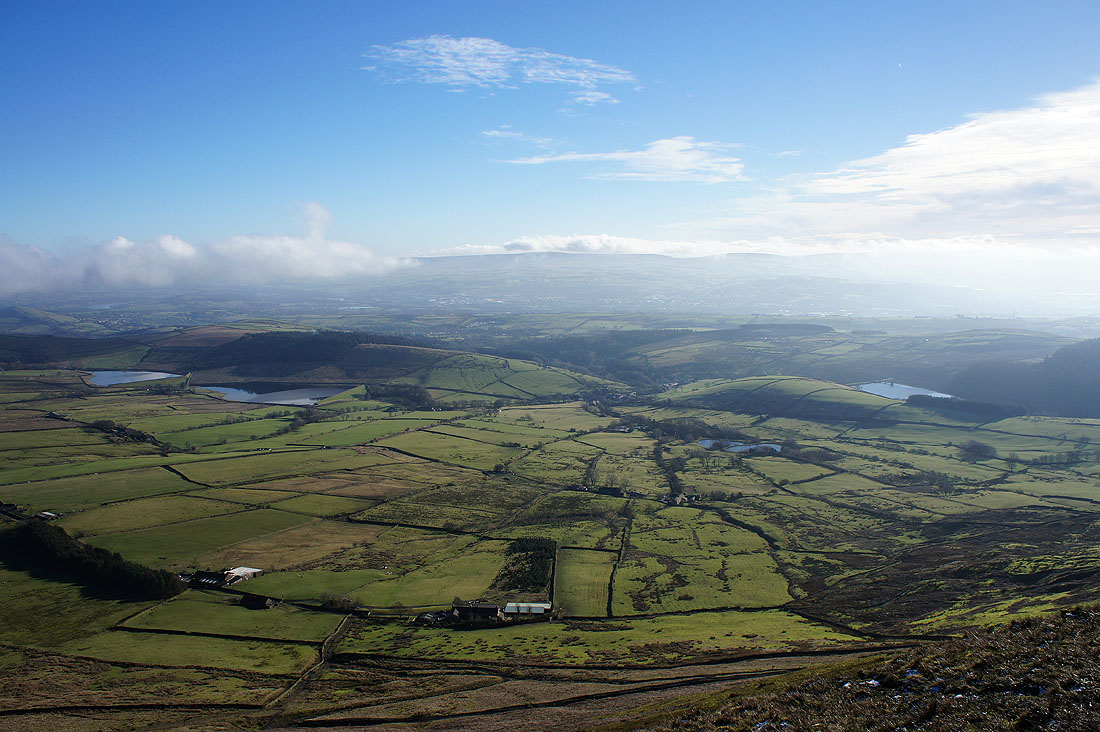
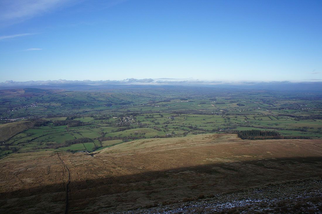
Clitheroe, the Ribble Valley and the fells of the Forest of Bowland from the edge of the moor..
Lunch had, onwards to the Scout Cairn..
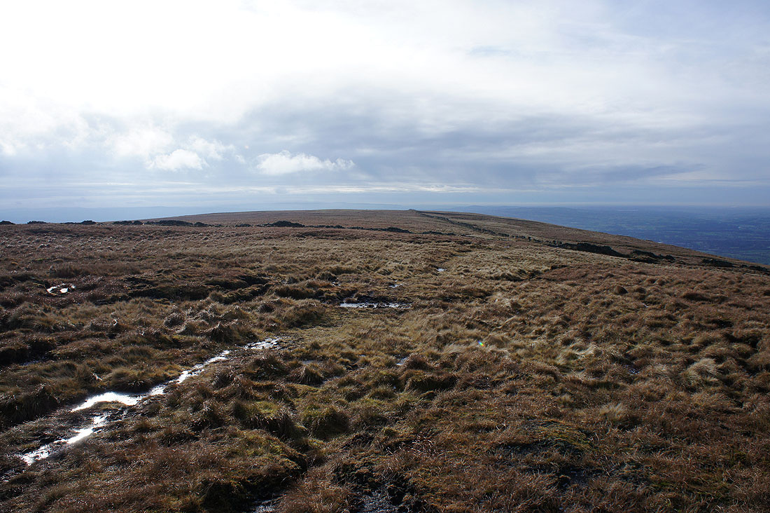
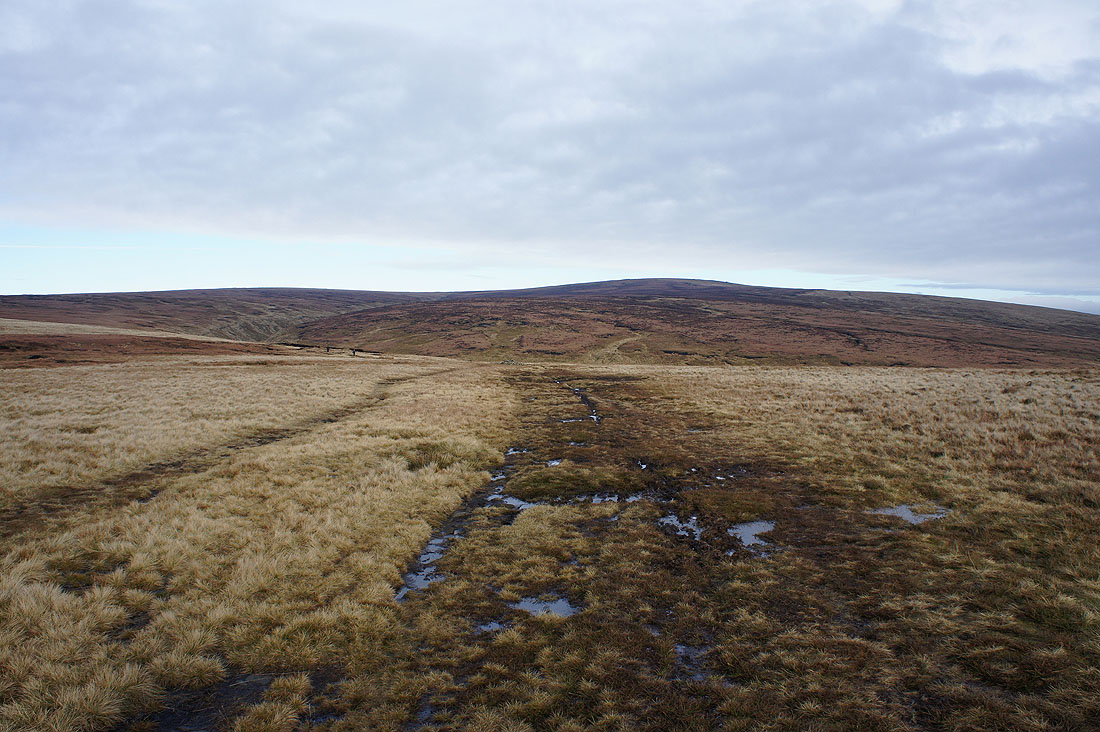
The bulk of Mearley Moor to come. This was definitely the wettest part of the walk underfoot.
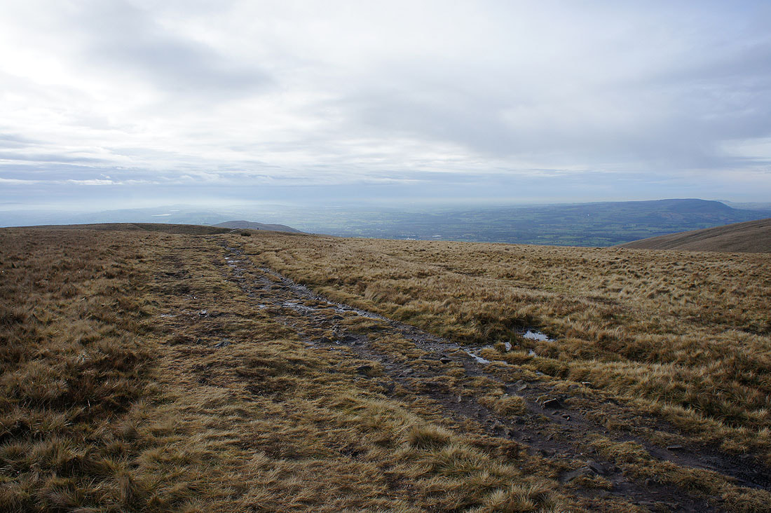
Looking back from Mearley Moor to Worston Moor with the summit of Pendle Hill on the right
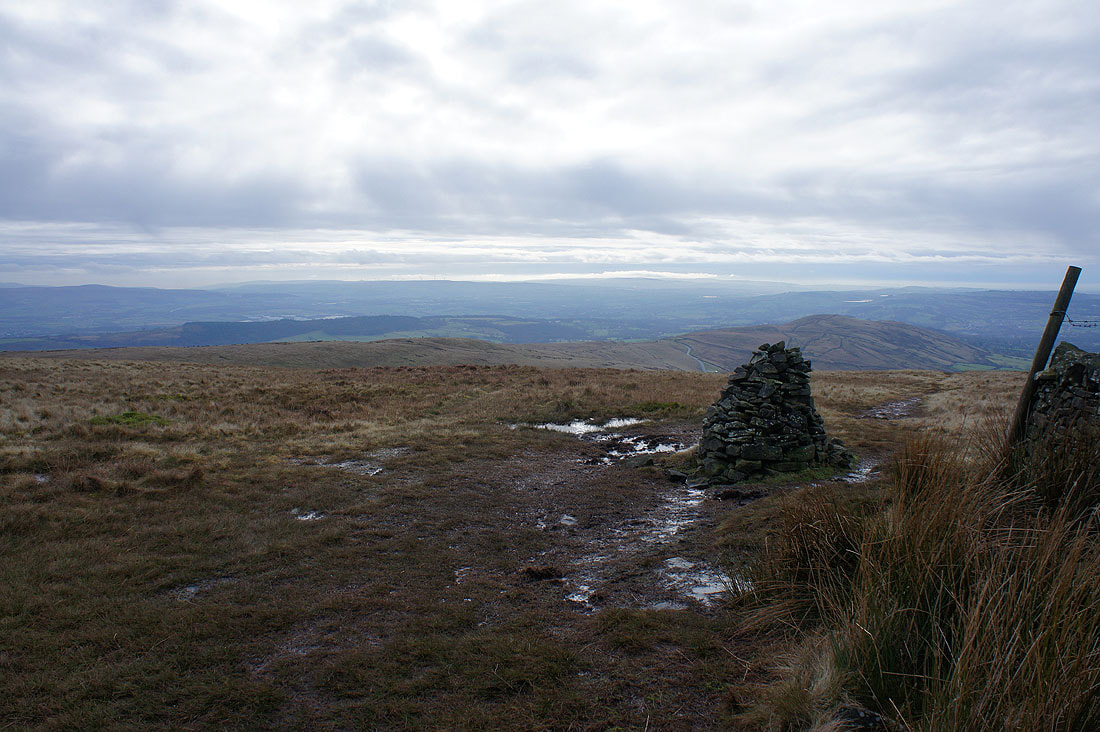
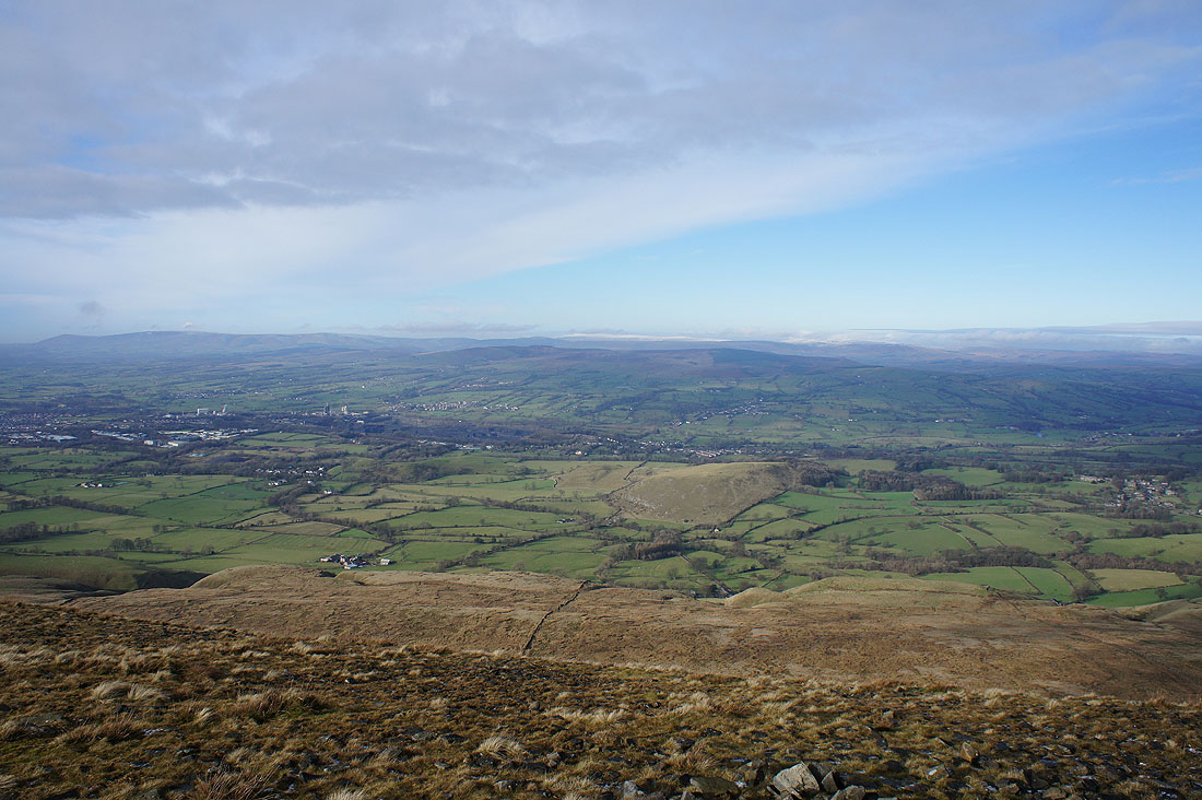
The West Pennine Moors in the distance from the cairn at the end of Mearley Moor
Longridge Fell, Parlick, Fair Snape Fell and Totridge
The Ribble Valley from the track back to Ogden Clough
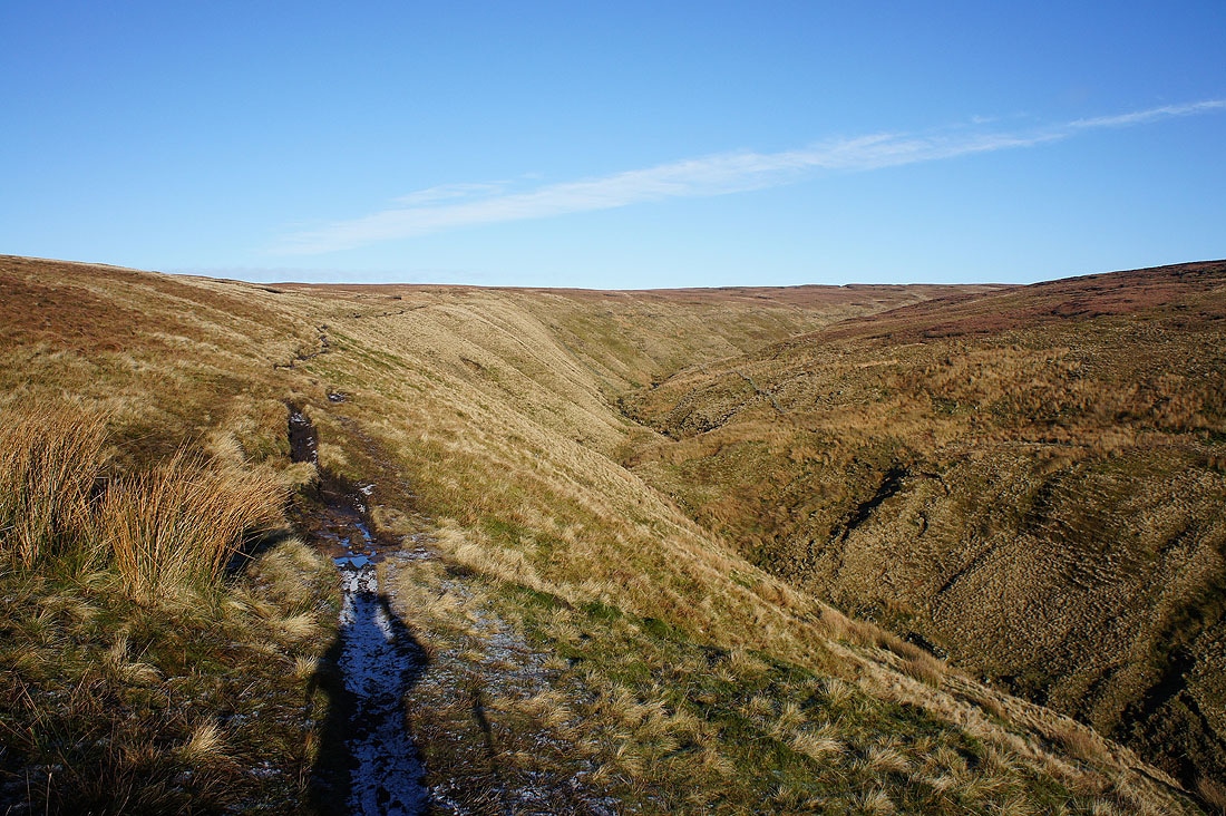
and the bulk of Pendle Hill as I approach Ogden Clough
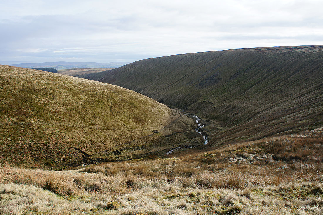
The steep sided Ogden Clough
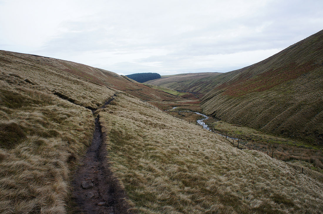
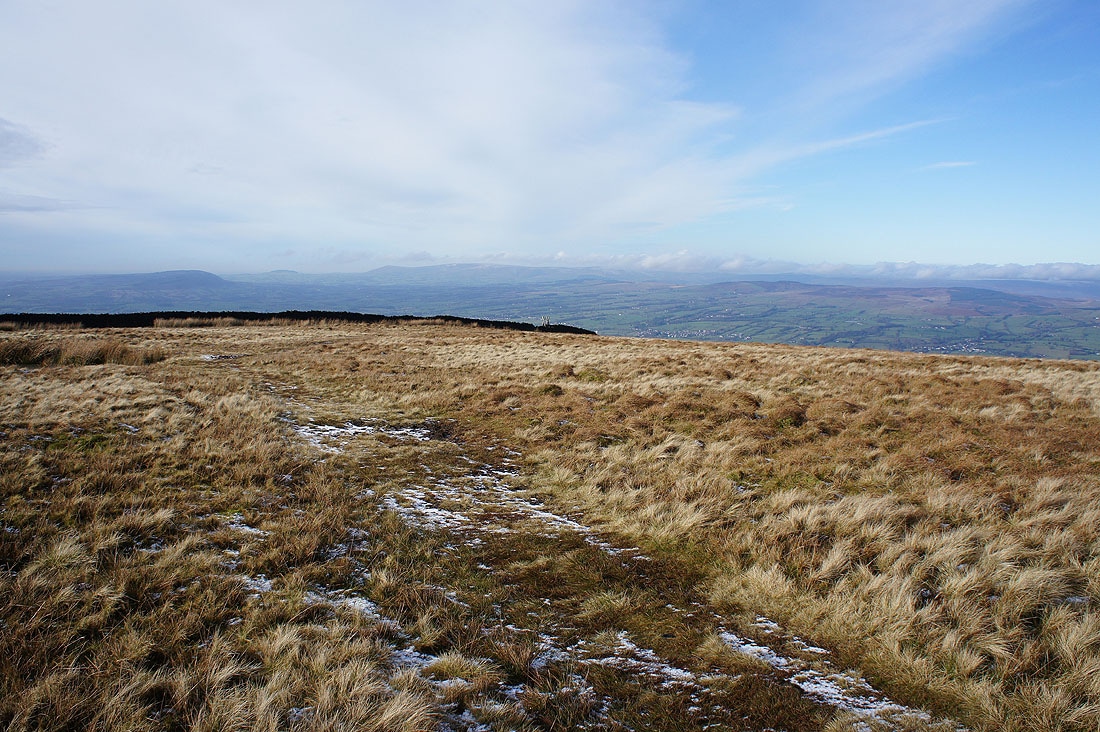
On the path back to Barley
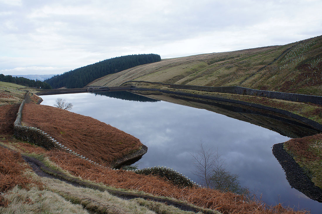
A flat calm Upper Ogden Reservoir
and it's the same at Lower Ogden Reservoir. Barely a ripple.