29th July 2017 - Ramshaw Rocks and The Roaches
Walk Details
Distance walked: 10.9 miles
Total ascent: 1994 ft ascent
OS map used: OL24 - The Peak District, White Peak area
Time taken: 7 hrs
Route description: Gradbach-Gradbach Hill-Corner House-Ramshaw Rocks-A53-Naychurch-Ferny Knoll-Well Farm-Hen Cloud-The Roaches-Bearstone Rock-Back Forest-Lud's Church-Forest Wood-Gradbach
I decided to head to the Peak District today in the hope of seeing my first heather in bloom of the year. I wasn't disappointed in that regard but the lack of sunshine was a bit of a downer. The heather is just coming into full bloom so hopefully there'll be some sunshine over the next few weekends to see it at its best. It was cool, grey and overcast through the morning with a brisk breeze and it wasn't until I was on Hen Cloud and The Roaches did it warm up a bit as the sun started to break through the cloud. The route I followed today was a variation of the one I followed on my last visit to Ramshaw Rocks and The Roaches back in October 2015. This time I included Hen Cloud and made a point of seeing the chasm of Lud's Church, which was damp and very muddy following all the recent rain.
From the car park by the River Dane in Gradbach I walked west up the road past the scout camp and to its top where it becomes a bridleway. Here I turned left onto the footpath below Gradbach Hill and when I reached the concessionary path that allows access to Gradbach Hill I made my way up to its top. After walking south along the top of Gradbach Hill I picked up the footpath again that heads out to the road to the east. I then had a walk south along the road past Goldsitch Moss, Blackbank and Newstone Farm to Corner House cottage and the gritstone outcrops above there. Once I'd seen the view from them I went back down to Corner House and crossed the road and took the footpath across the moors to Ramshaw Rocks. I had a great time walking down the rocky crest to the road below and then the A53. The next part of the route was a little complicated but basically involved walking down the driveway to Naychurch Farm (a concessionary footpath takes you round the farmyard), crossing the brook below and then following a track and footpaths to Well Farm, where I made my way up onto a footpath across the northern slopes of Hen Cloud. Once at the col between Hen Cloud and The Roaches I turned left and made my way to the top of Hen Cloud. After having my lunch I retraced my steps and then made my way up and along the gritstone escarpment of The Roaches to the trig point on its top. I then kept on the ridgeline to the northwest after crossing the road to reach the top of Back Forest. I then kept going past the top to reach a crossroads of paths where I turned right for Lud's Church. Once I'd seen Lud's Church I followed the paths signposted for Gradbach that descended into Forest Wood to where a footbridge was used to cross Black Brook. The trail of the Dane Valley Way then took past Gradbach Mill and up the road to where I was parked.
Route map
© Crown copyright. All rights reserved. License number PU 100034184.
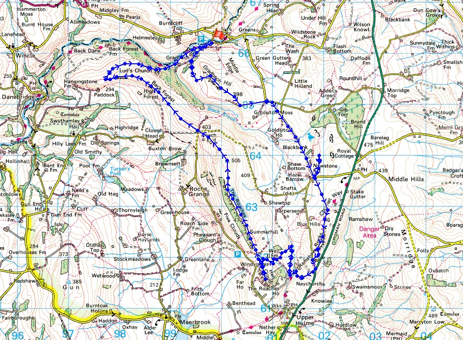
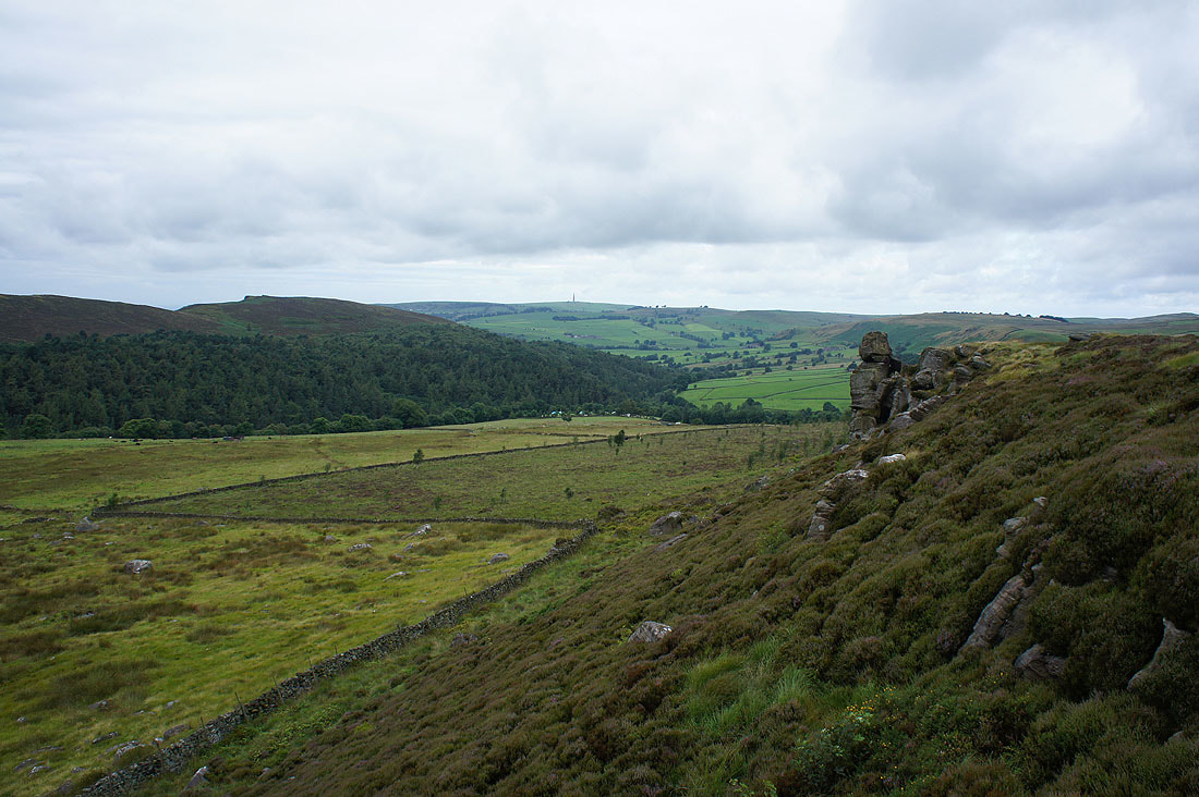
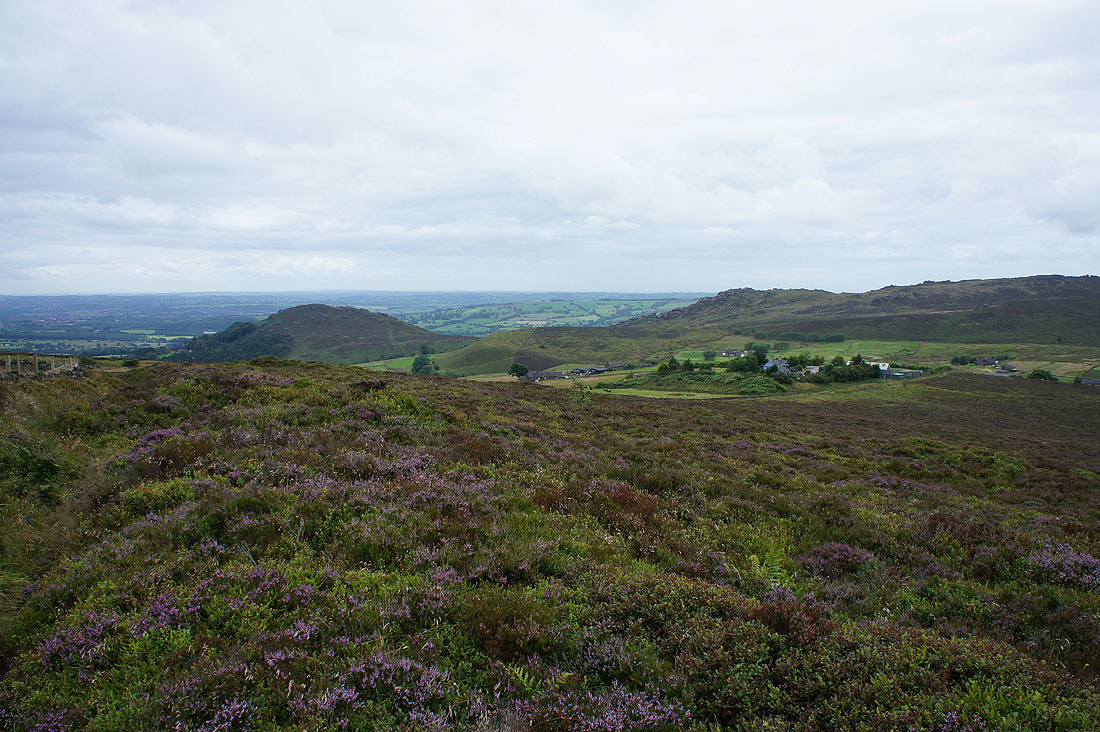
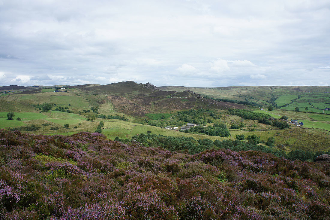
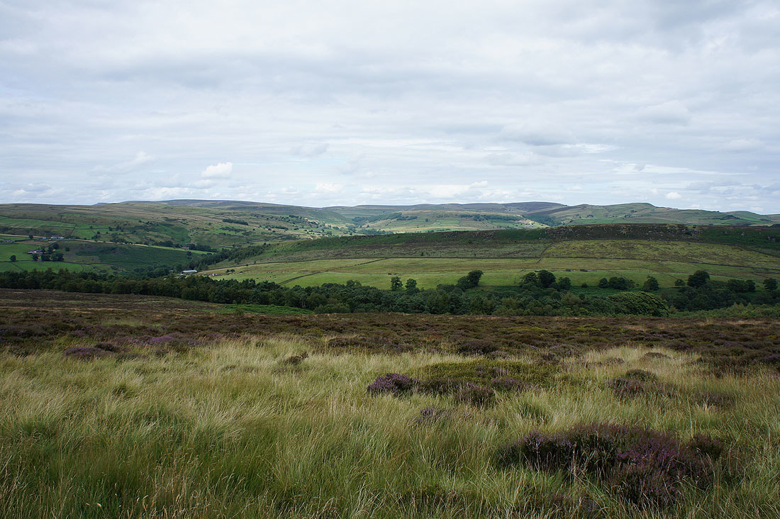
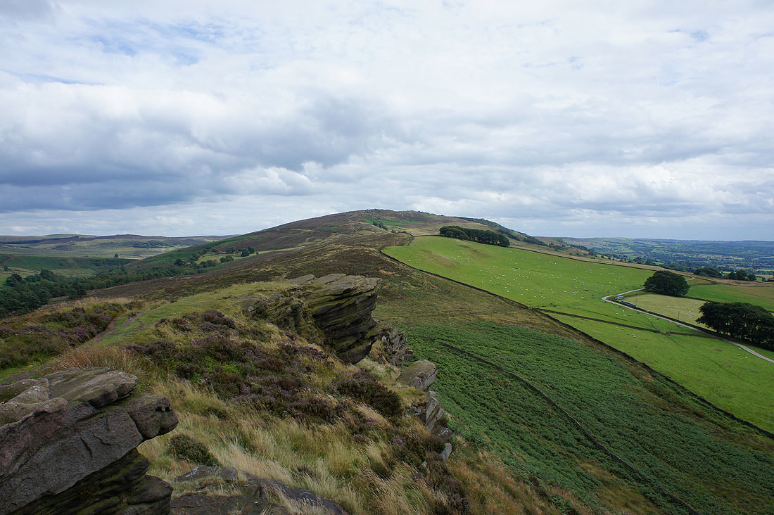
The Roaches from Gradbach Hill
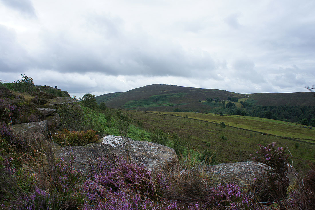
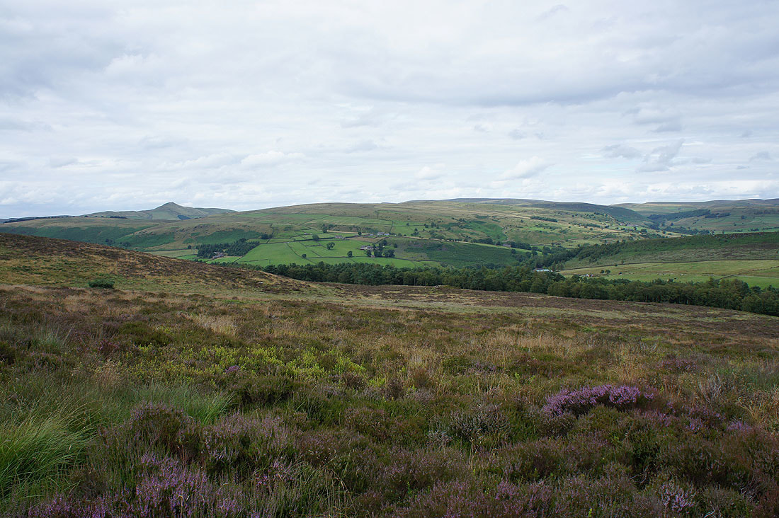
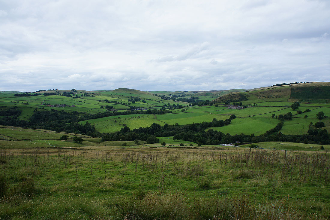
Looking towards Three Shire Heads
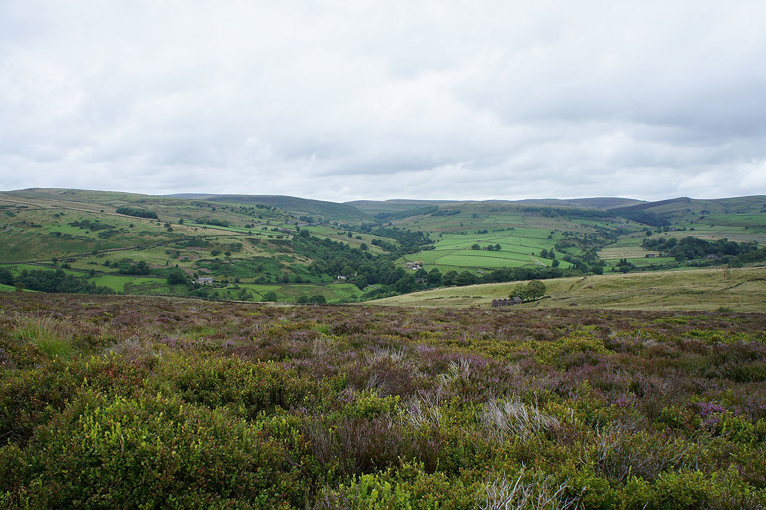
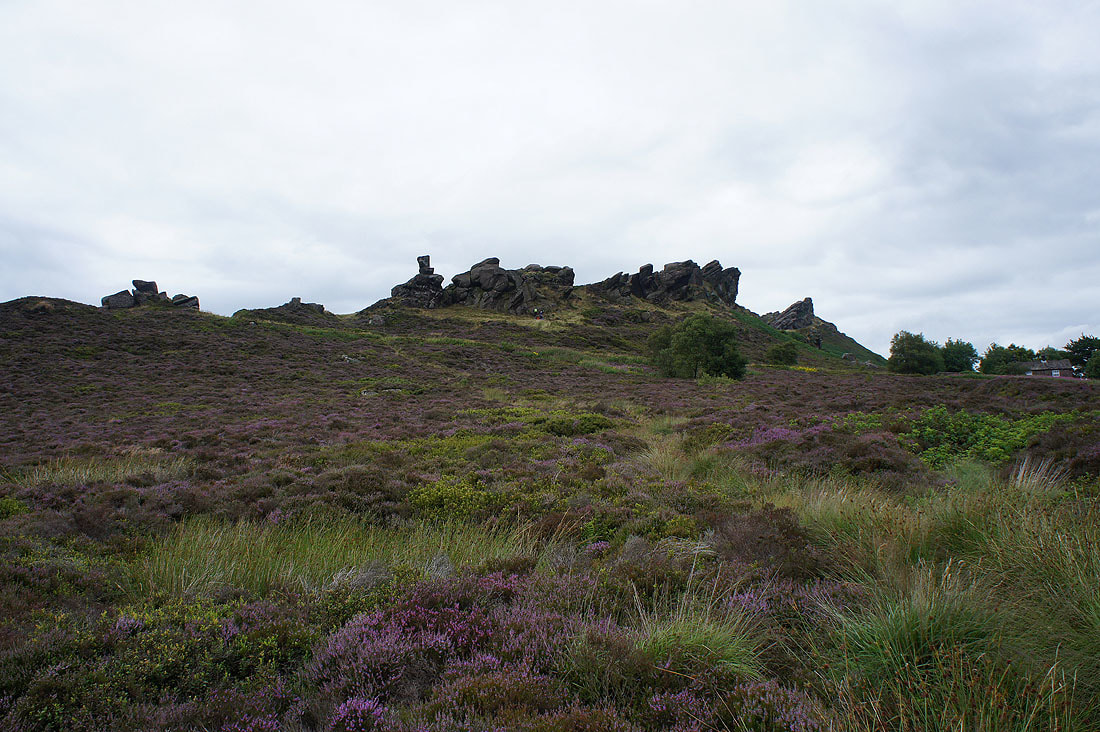
The crest of Ramshaw Rocks on the horizon
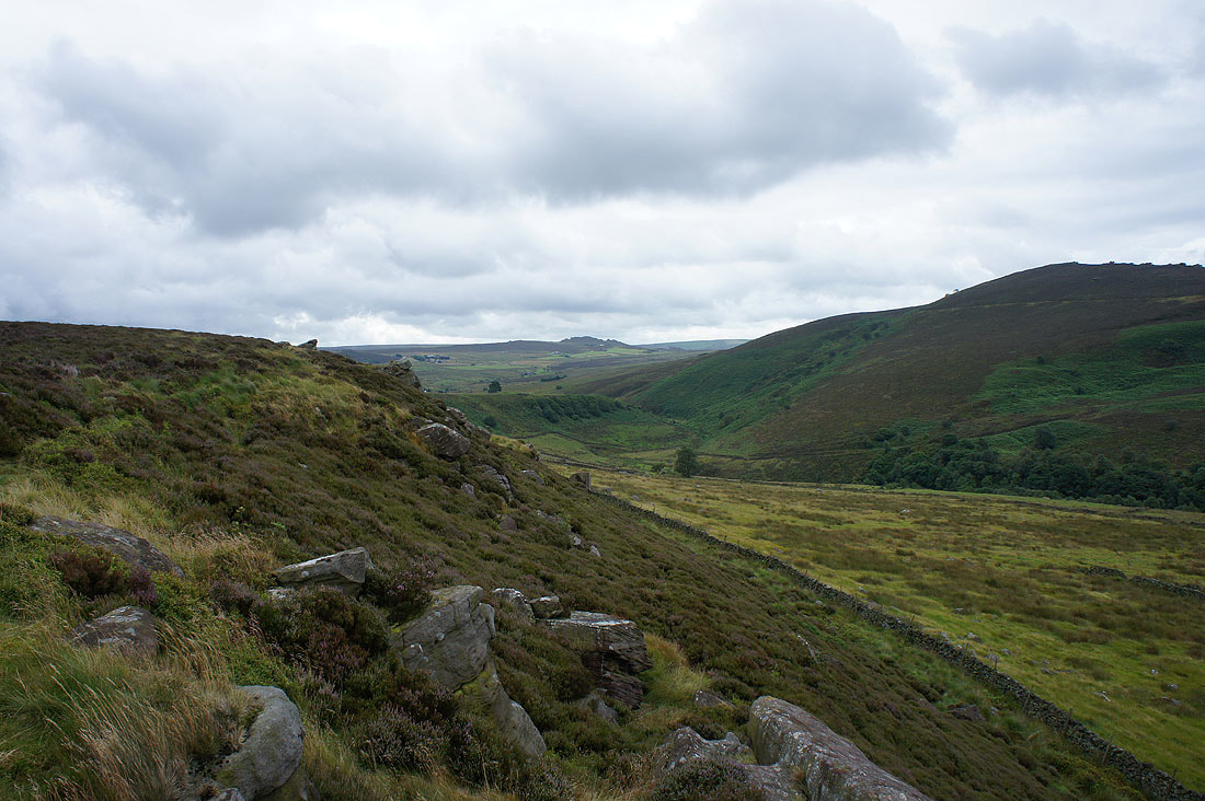
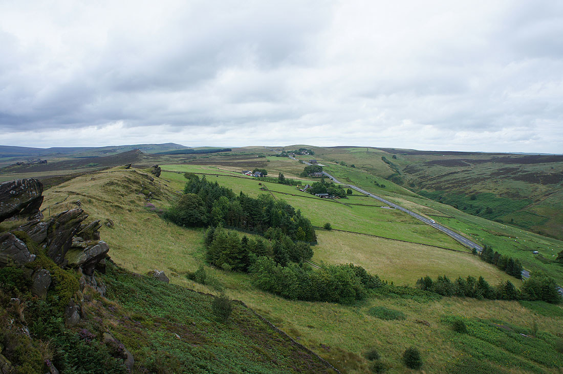
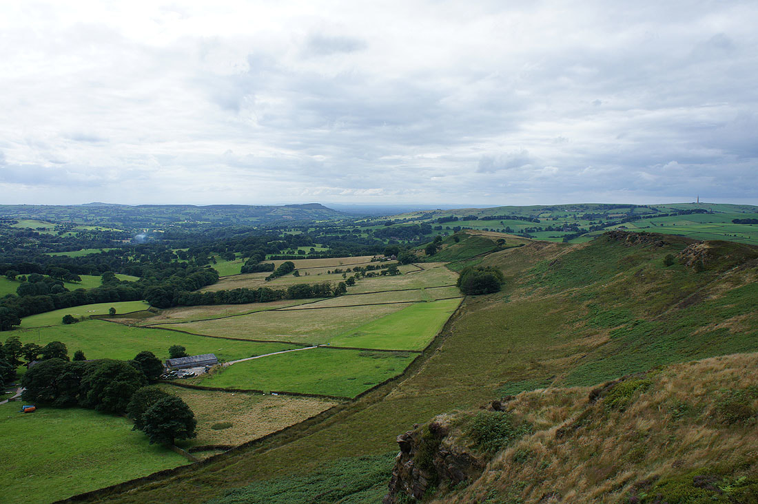
Forest Wood and the Dane Valley
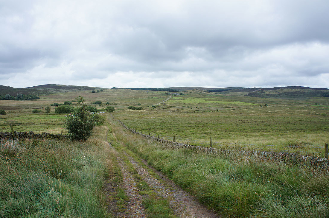
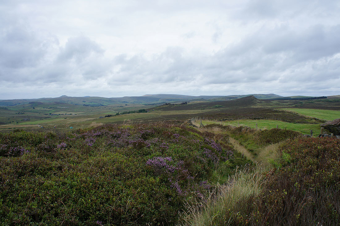
On the track off Gradbach Hill and at its end I'll have a bit of road walking to do
The road was left for the gritstone outcrops above Newstone Farm. Looking northwest to Shutlingsloe and Dane Bower.
and Dane Bower to Oliver Hill
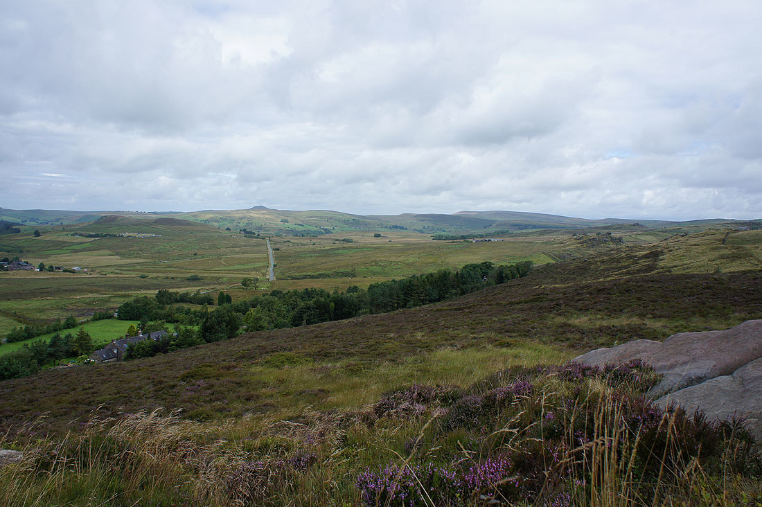
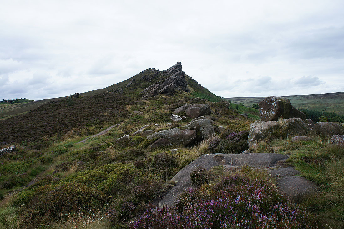
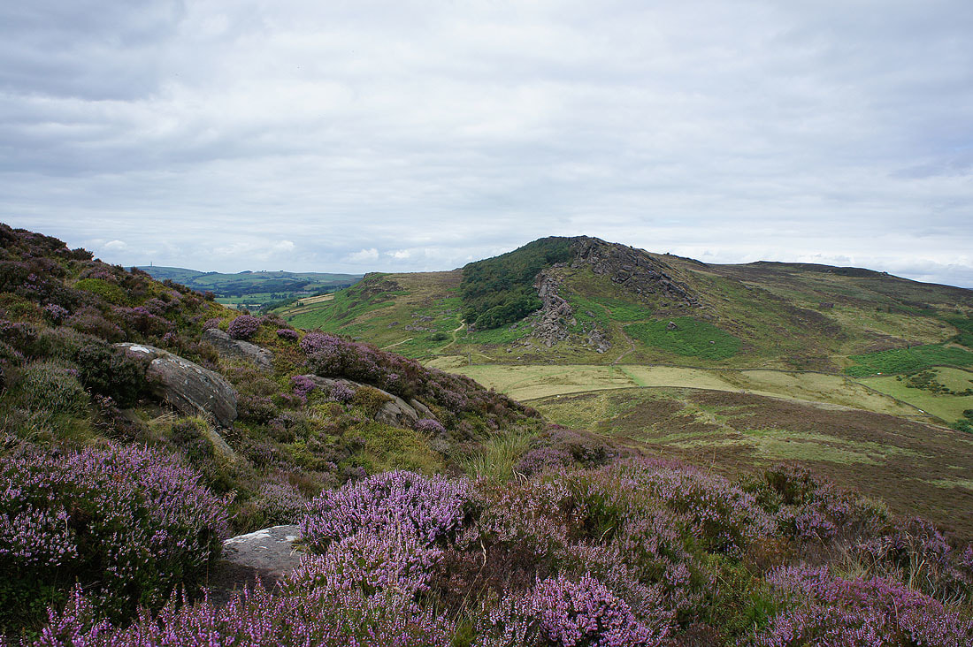
Hen Cloud and the southern end of The Roaches as I reach Ramshaw Rocks
Looking north to Shutlingsloe, Dane Bower and Axe Edge
The A53 Leek to Buxton road below on the right
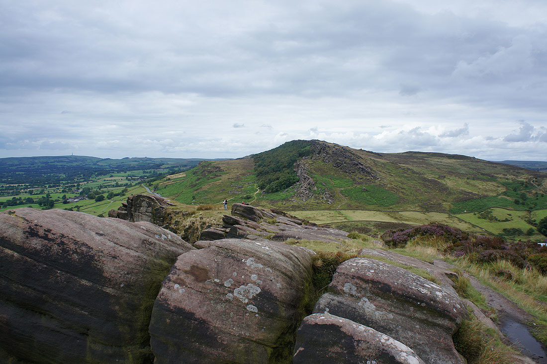
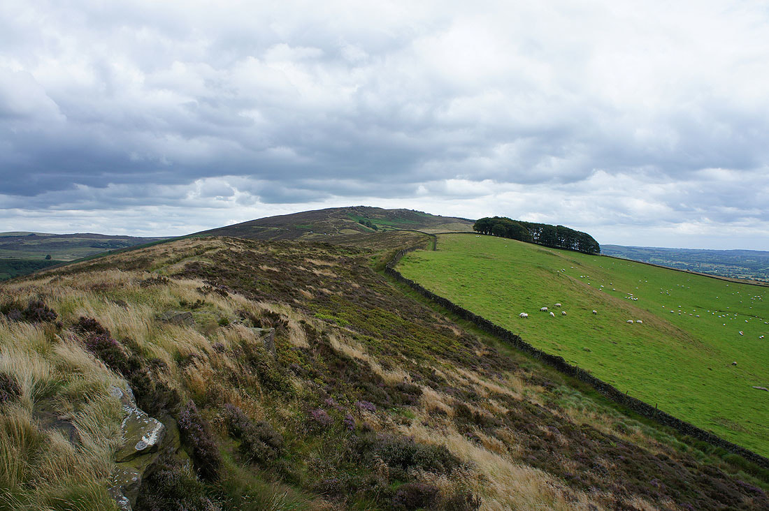
Ramshaw Rocks to Hen Cloud
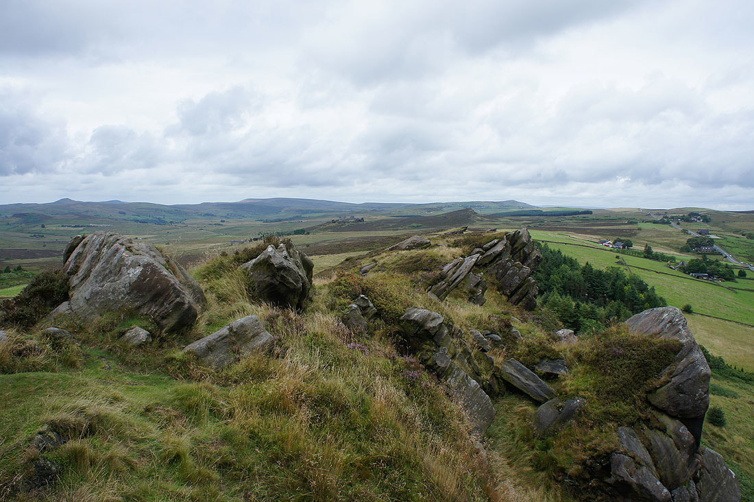
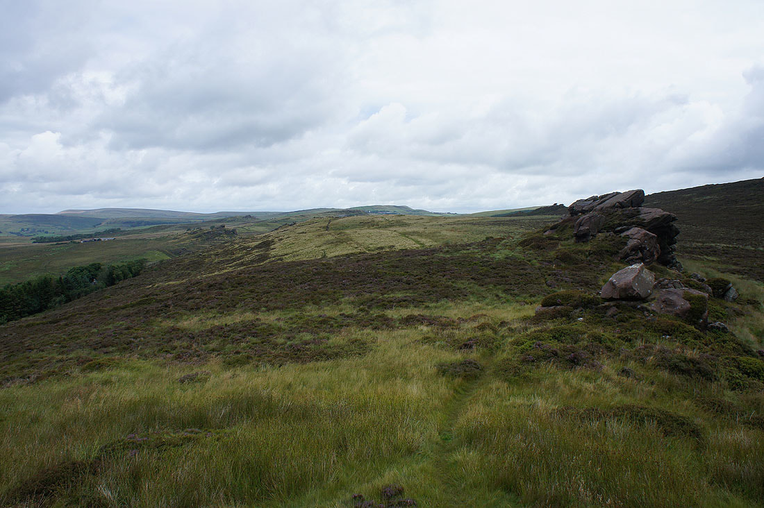
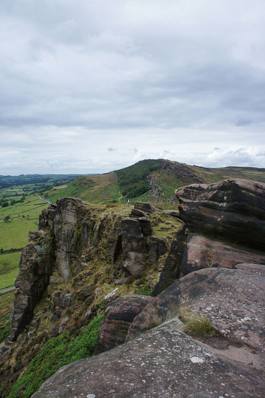
More Ramshaw Rocks scenery as I make my way through the outcrops to their southern end...
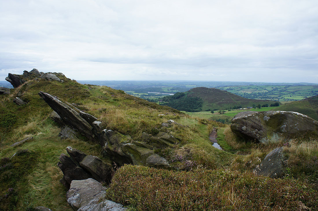
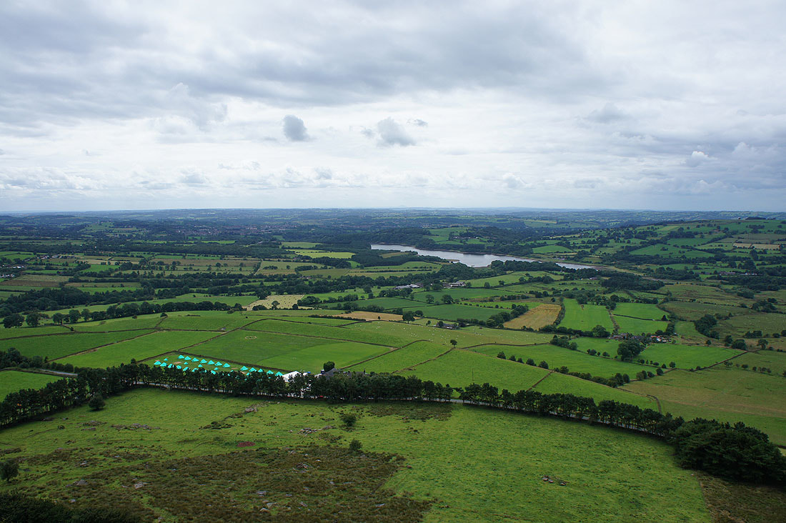
A last shot from Ramshaw Rocks of a bit of Tittesworth Reservoir and Hen Cloud
Ramshaw Rocks from the road below
Some time later and I make it to Hen Cloud and it's time for lunch. Looking across to the southern end of The Roaches.
Tittesworth Reservoir
Ramshaw Rocks and the heather is starting to look good

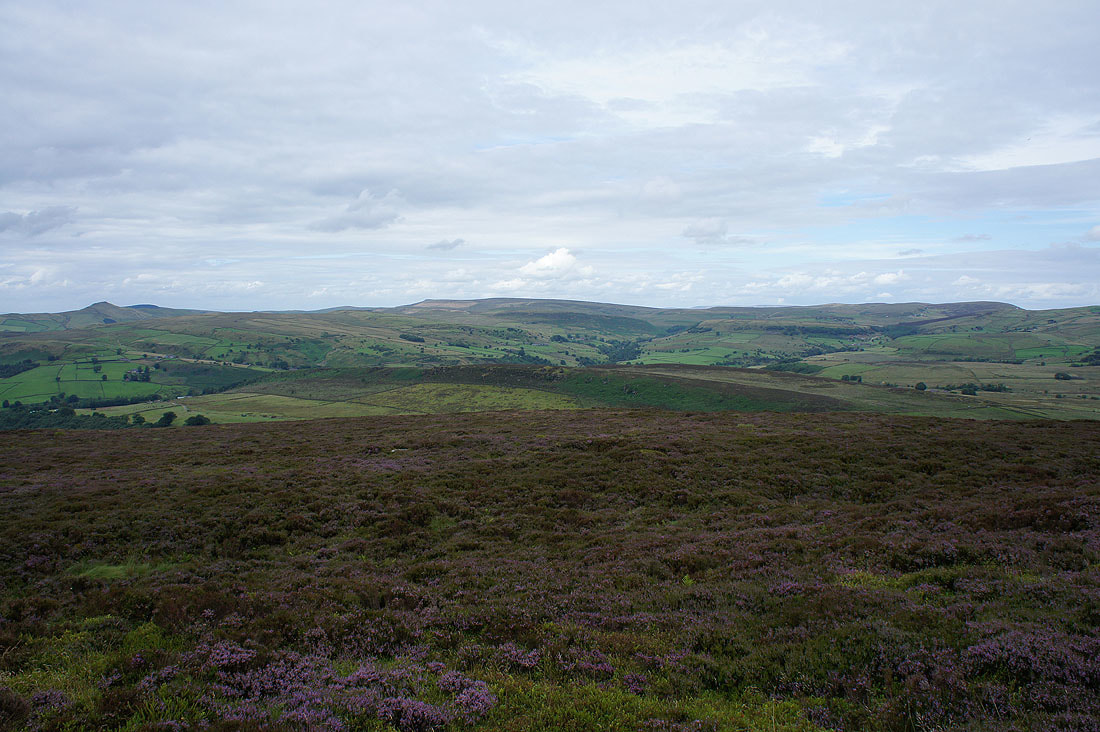
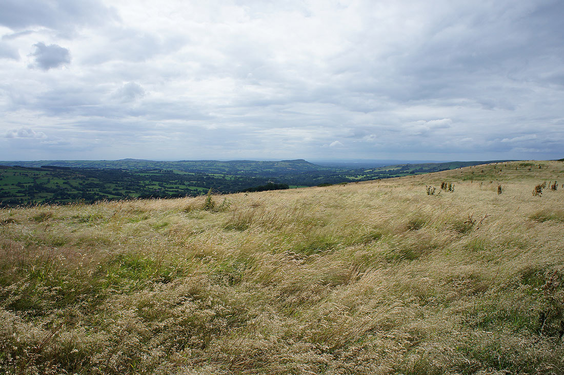
The moorland of Morridge
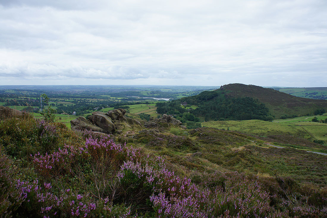
Heather and The Roaches as I make my way down from Hen Cloud
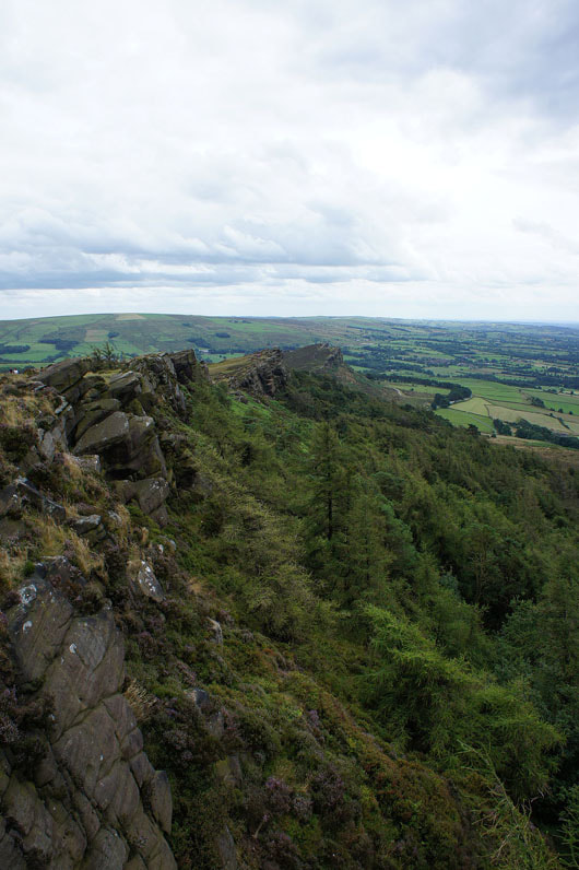
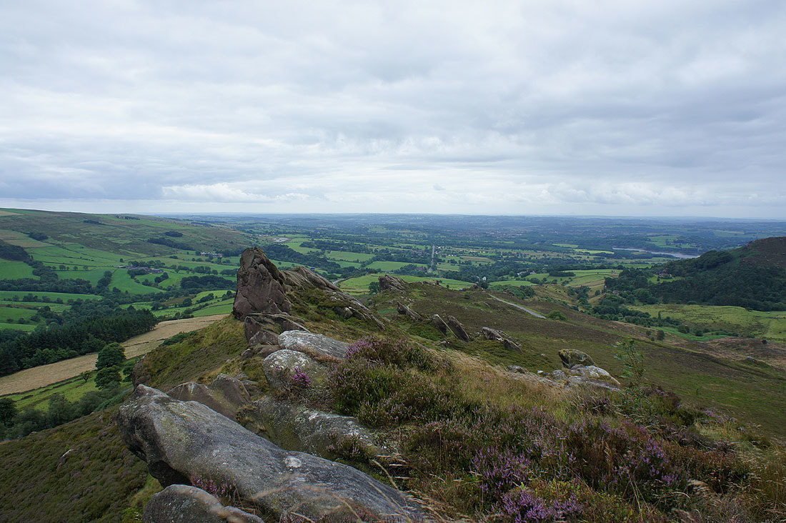
One of the best views on this walk is looking down the gritstone escarpment of The Roaches to Hen Cloud
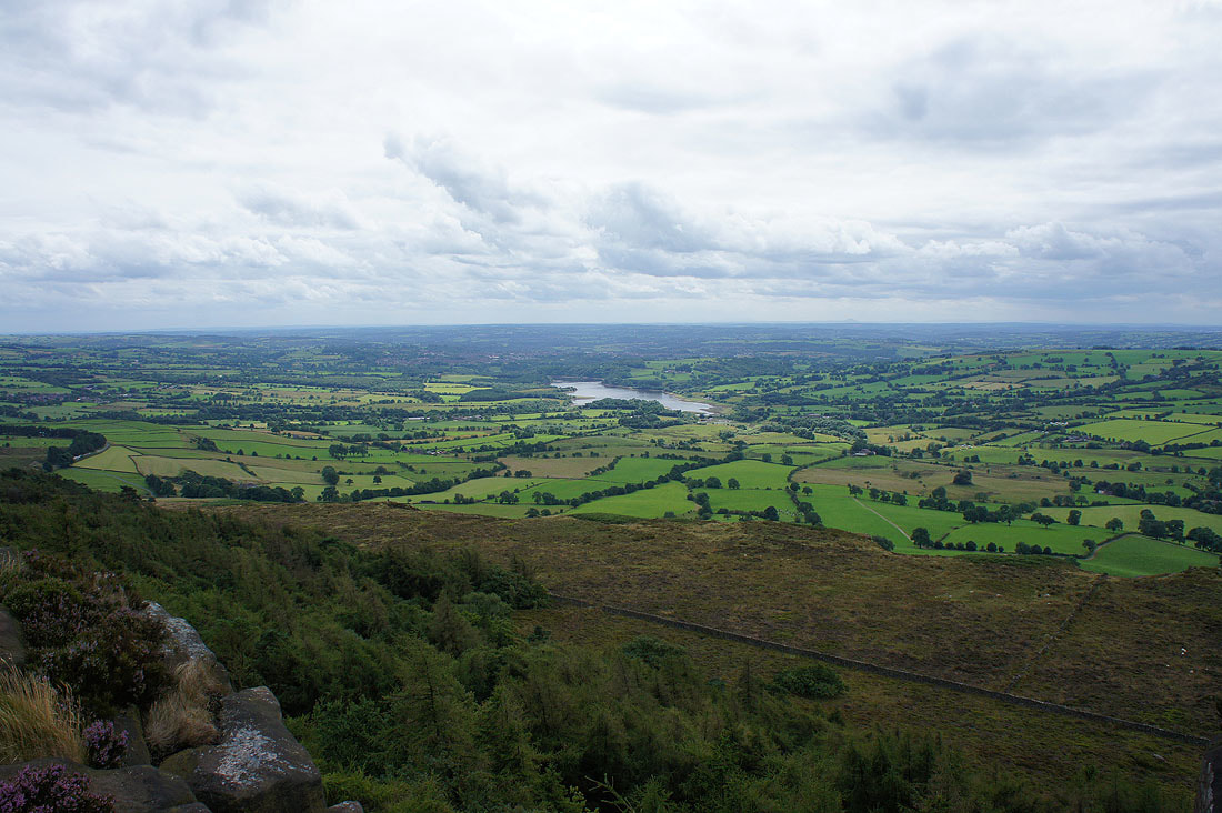
Tittesworth Reservoir
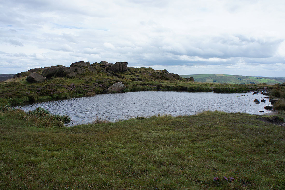
Doxey Pool
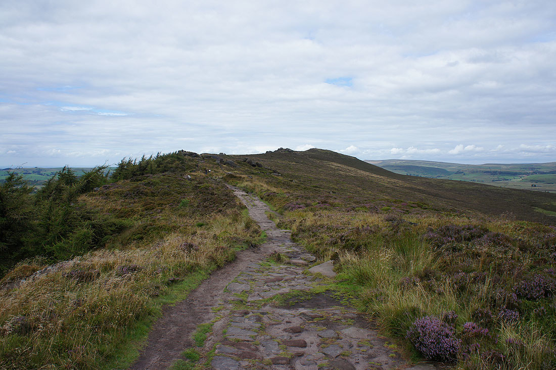
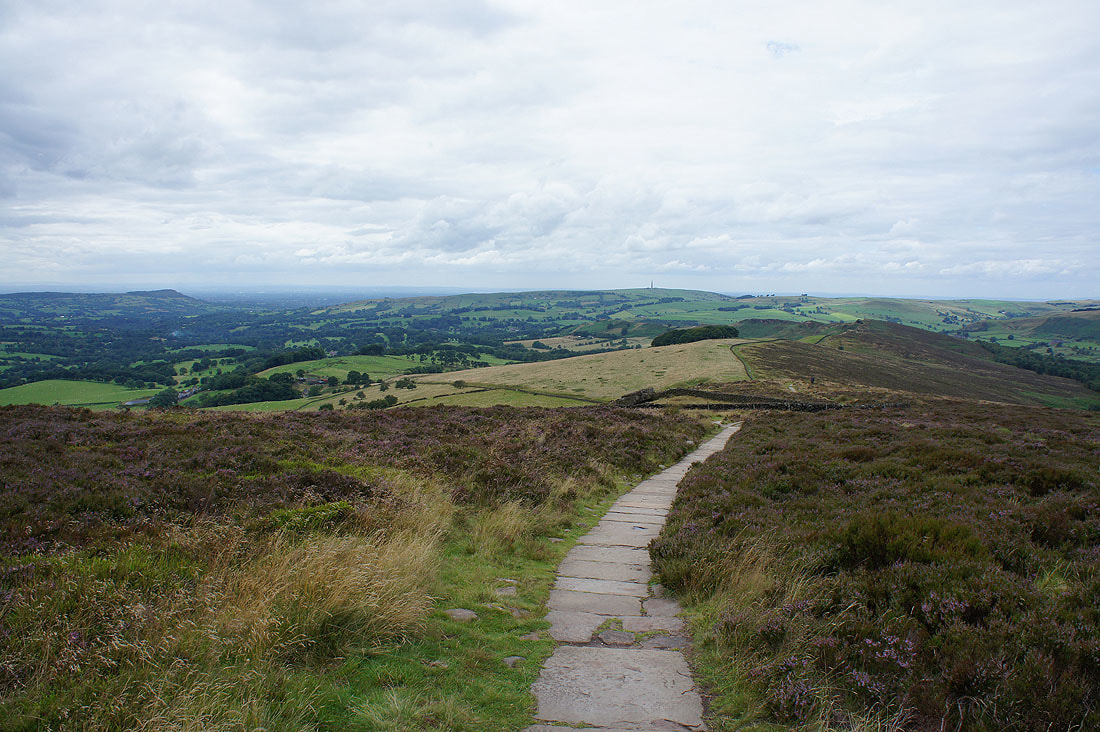
Heading north to the trig point
The view to my left across the Dane Valley to Bosley Cloud, Sutton Common and Shutlingsloe..
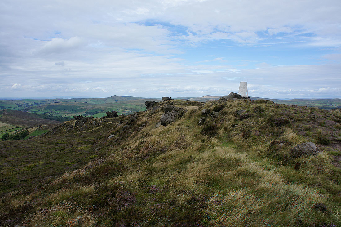
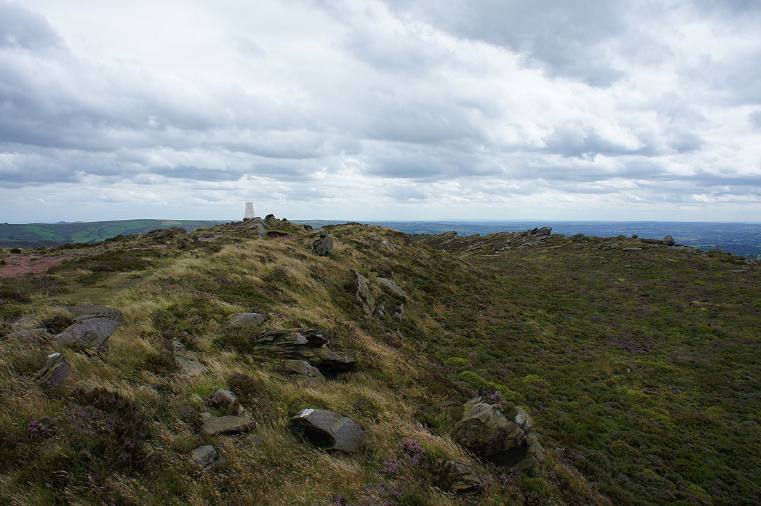
At the trig point on the summit of The Roaches
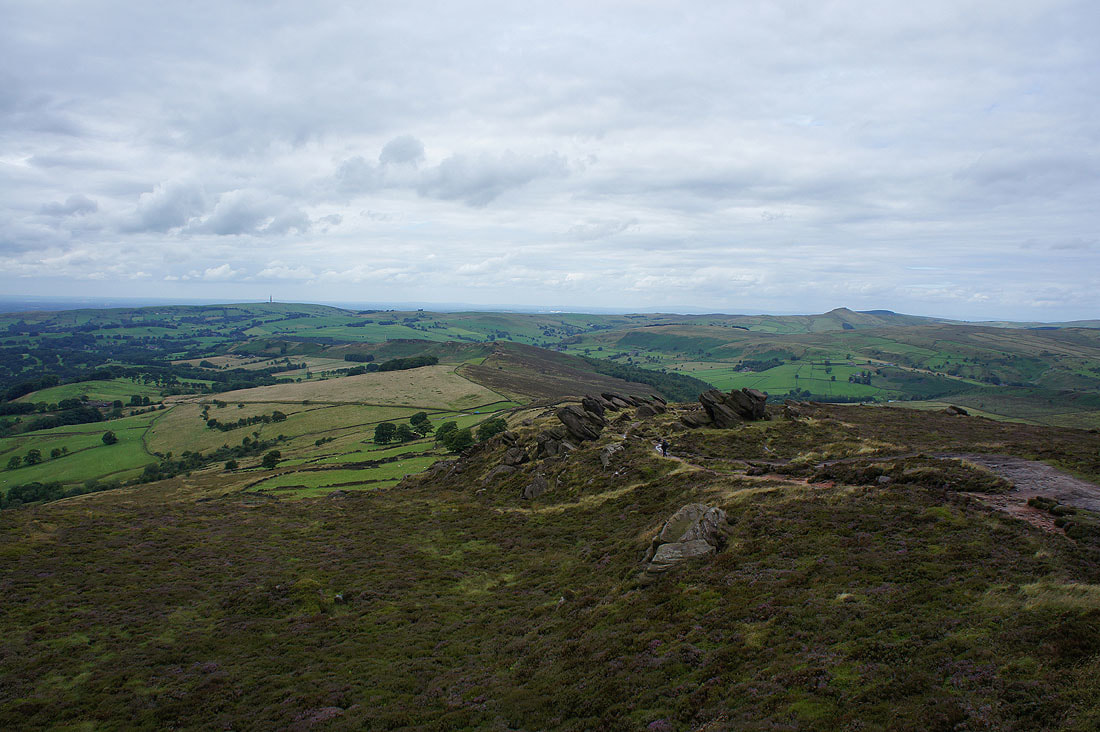
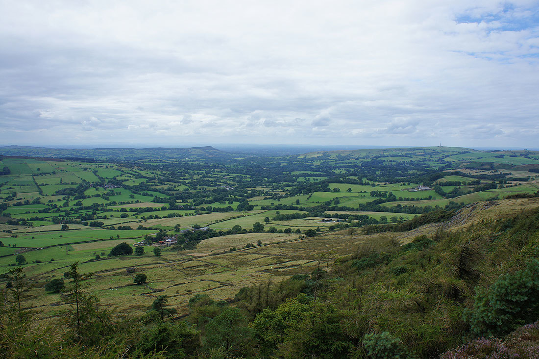
Looking northwest along the ridge to Back Forest with Sutton Common and Shutlingsloe in the distance
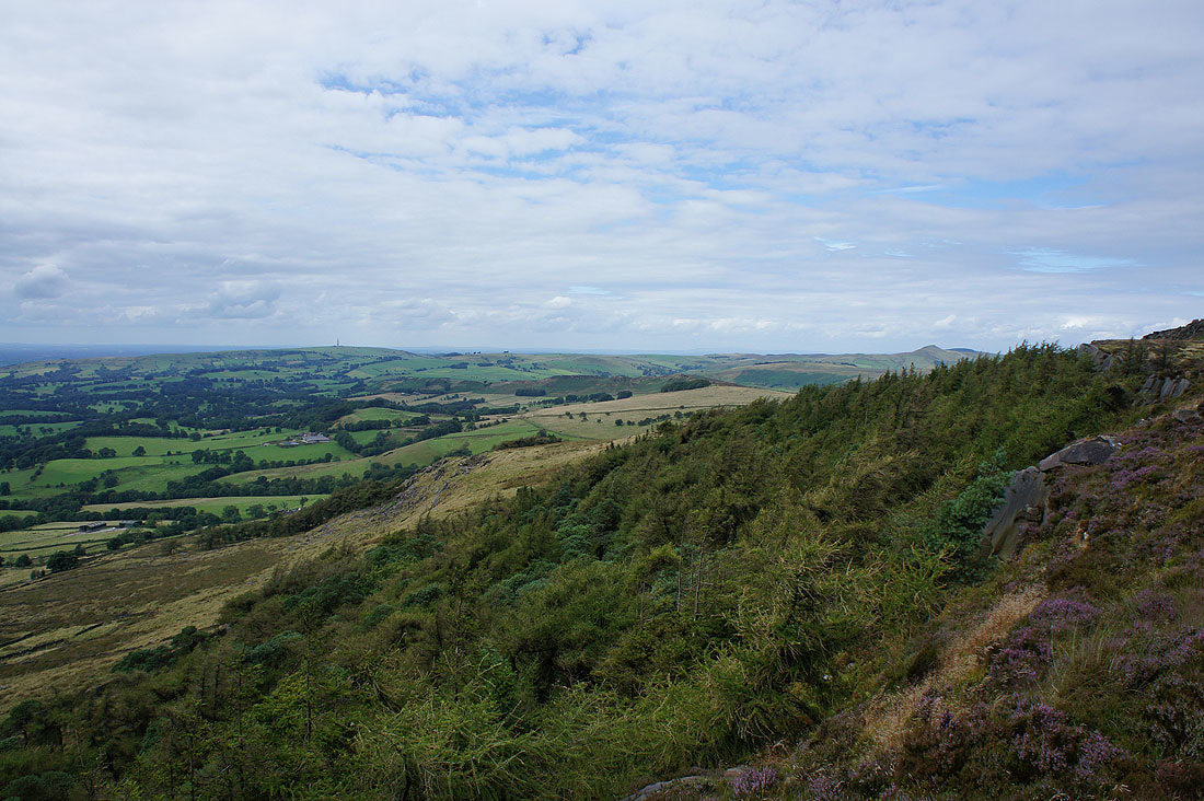
Shutlingsloe, Dane Bower and Axe Edge to the north
Ramshaw Rocks and Morridge to the southeast
A last look back to the trig point..
..as I take the path north to Back Forest. I took advantage of the ice-cream van that was parked by the road at the northern end of The Roaches.
The sun comes out and brightens up the grass swaying in the breeze..
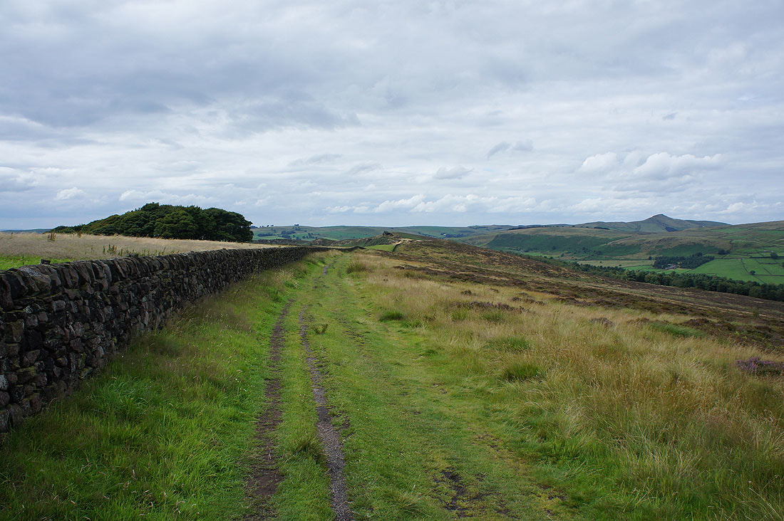
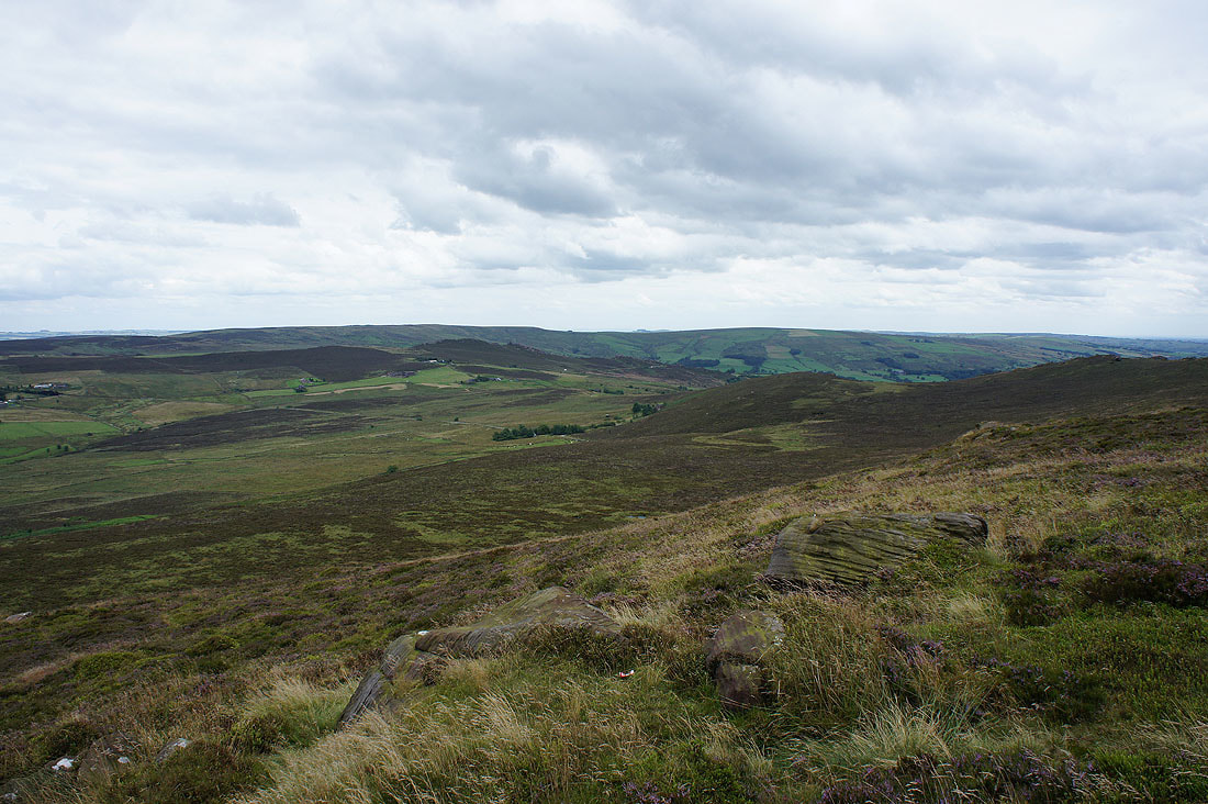
..as I walk along the ridge of Back Forest
Three Shire Heads to Axe Edge behind Gradbach Hill
Shutlingsloe to Three Shire Heads
The Roaches from Back Forest
and Bosley Cloud on the other side of the Dane Valley
A couple more shots of The Roaches from Back Forest..

Hammerton Knowl and Allgreave Hill from the path to Lud's Church
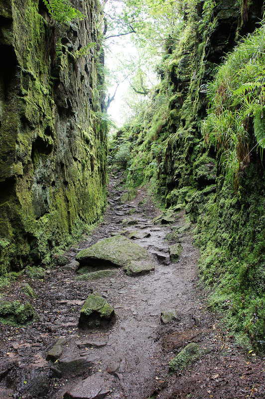
A damp and muddy Lud's Church
|
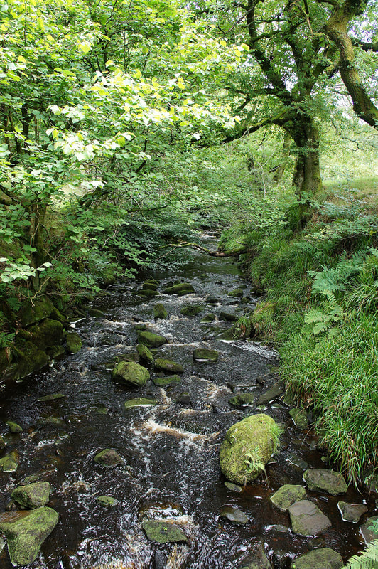
Across the footbridge over Black Brook
|
Not far to go to the car park as I reach Gradbach Mill