29th July 2019 - Weets Hill
Walk Details
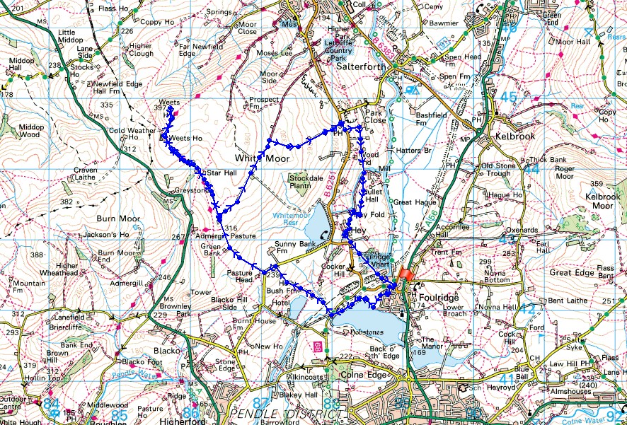
Distance walked: 7.9 miles
Total ascent: 1241 ft
OS map used: OL21 - South Pennines
Time taken: 3 hrs
Route description: Foulridge-Foulridge Lower Reservoir-Sand Hall-Holly Bush Farm-Whitemoor Riding Centre-Standing Stone Lane-Gisburn Old Road-Weets House Farm-Weets Hill-Weets House Farm-Gisburn Old Road-Lister Well Road-Copy Nook-High Lane-Booth House Farm-Wood End Farm-County Brook Lane-Hey Fold-Hey-Whitemoor Road-Foulridge
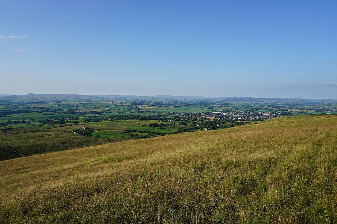
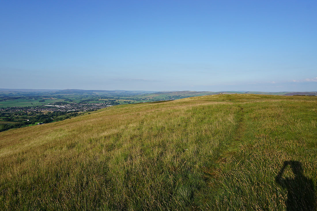
It's been a long three years since I last did a walk in the evening after work. The move to Foulridge has renewed my enthusiasm for it, especially when I have Weets Hill as a destination. A there and back walk from stepping out my front door is certainly doable when the days are as long as they are at the moment, though I can't spend too much time standing around and gazing at the view, a good pace has to be set. I had a beautiful summer's evening for it with great views from the summit of Weets Hill.
From where I live in Foulridge I made my way to Foulridge Lower Reservoir, walked round it and took the footpath up the track to Sand Hall and Holly Bush Farm, then up fields to Whitemoor Riding Centre on Standing Stone Lane. I then turned left and walked along Standing Stone Lane to the junction with Gisburn Old Road, then turned right and walked north up this road all the way to its end at Weets House Farm, where I went through a gate and took the path to the summit of Weets Hill. After taking a break to admire the view I made my way back to Weets House Farm and walked down Gisburn Old Road until I reached the turn-off for the Pennine Bridleway and Lister Well Road. I followed Lister Well Road across White Moor until I reached a footpath on the right which I took down to Copy Nook and High Lane. I briefly walked south along High Lane to take the footpath on the other side of the road down to Booth House Farm, then followed a path south across fields, down to the bridge over County Brook and to County Brook Lane. I then briefly walked up County Brook Lane, took the footpath on the left and followed it over the little hill past Hullet Hall and then turned right and took the path to Hey Fold. From Hey Fold I then took a path south through Hey and to Whitemoor Road, where a path southeast down through fields to the end of Station Road in Foulridge saw me back home.
Route map
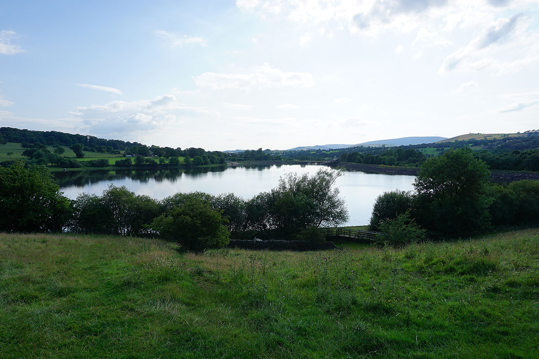
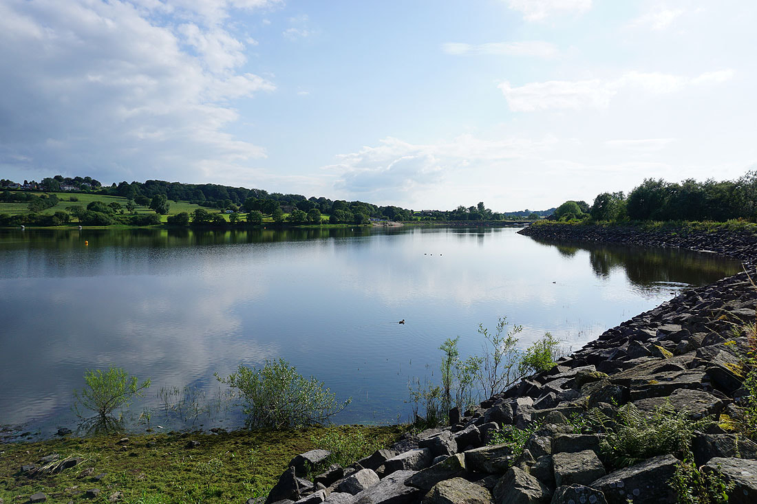
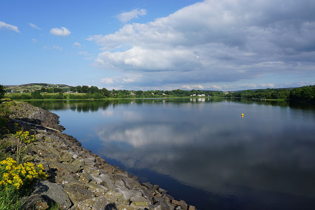
Making my way round Foulridge Lower Reservoir...
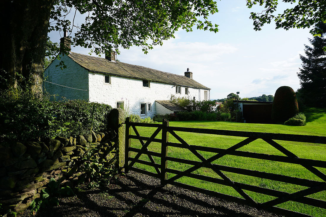
Sand Hall
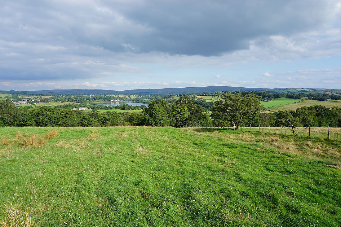
Looking back to Foulridge Lower Reservoir as I follow the path up to Whitemoor Riding Centre
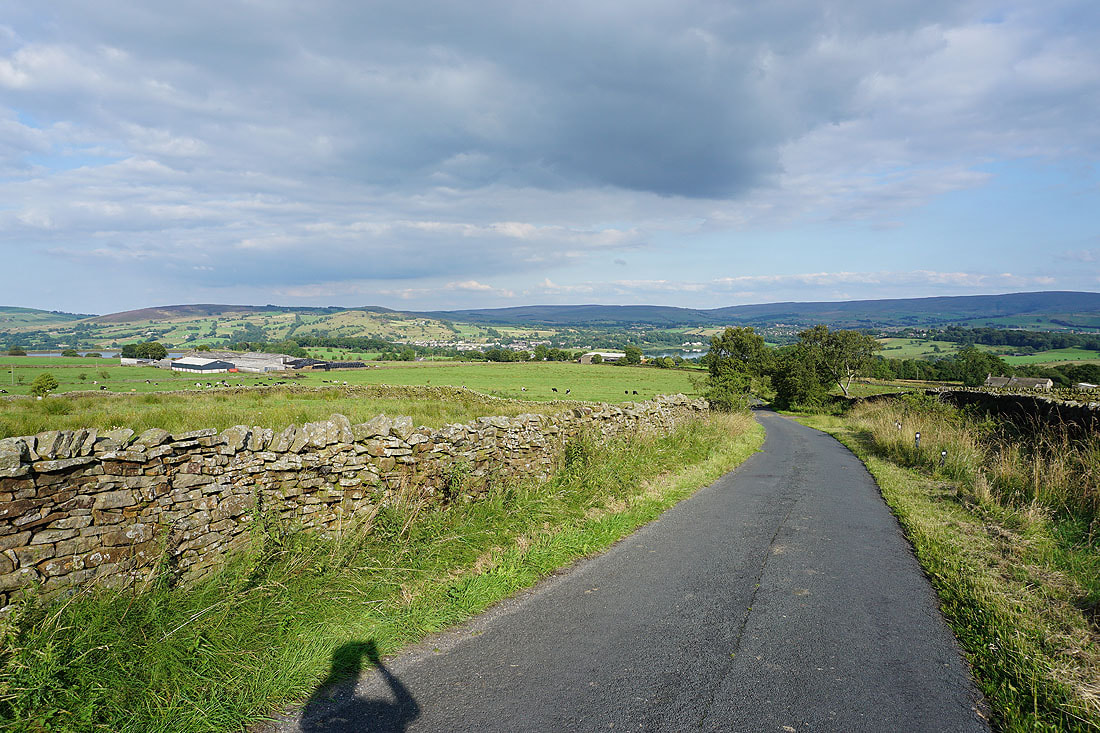
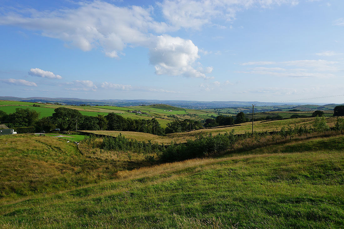
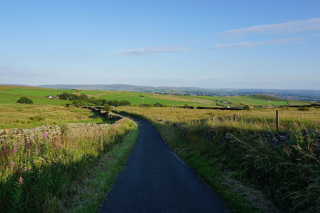
Looking back to Noyna Hill and Foulridge with Ickornshaw Moor and Boulsworth Hill in the distance as I walk up Gisburn Old Road
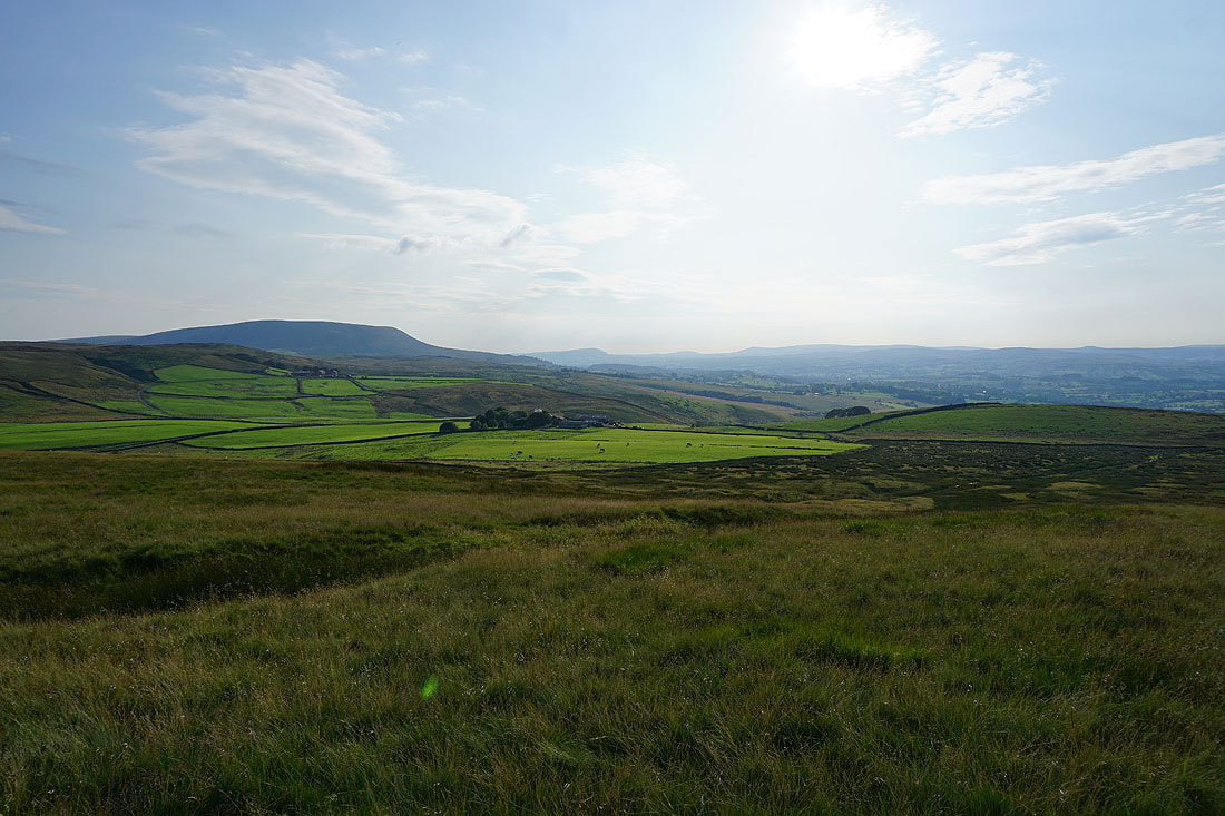
Blacko Hill and Pendle Hill
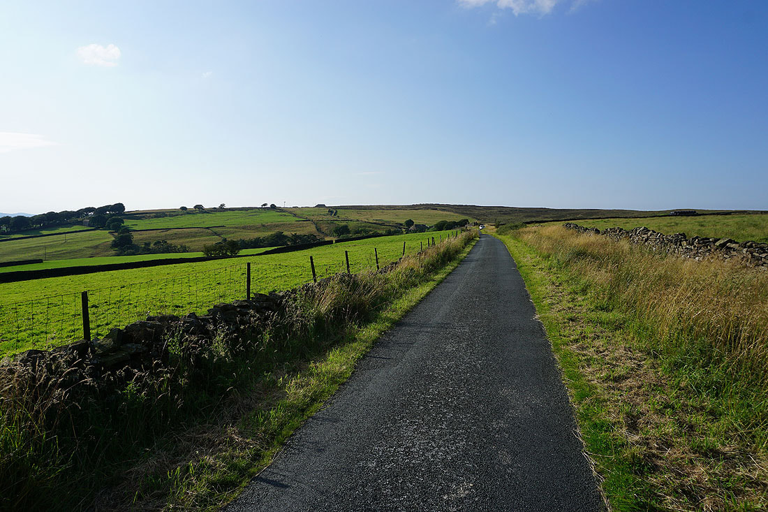
Weets Hill ahead
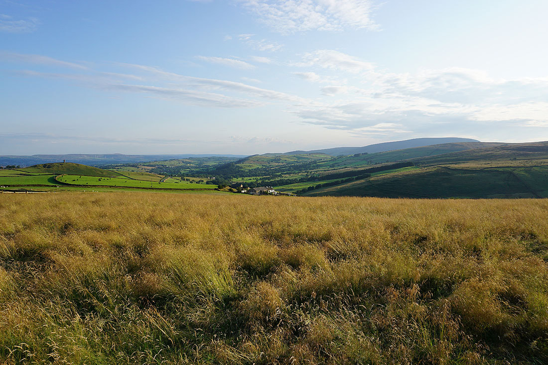
Blacko Hill above the valley of Admergill Water
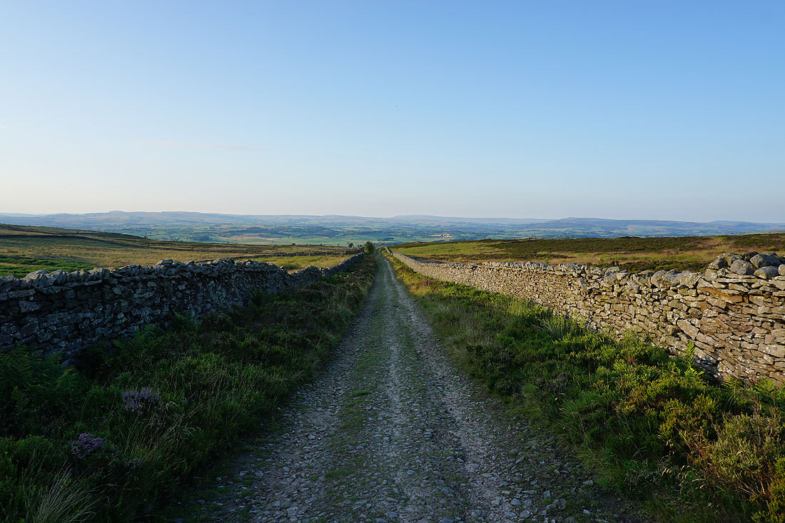
Boulsworth Hill in the distance as I near the top of Gisburn Old Road
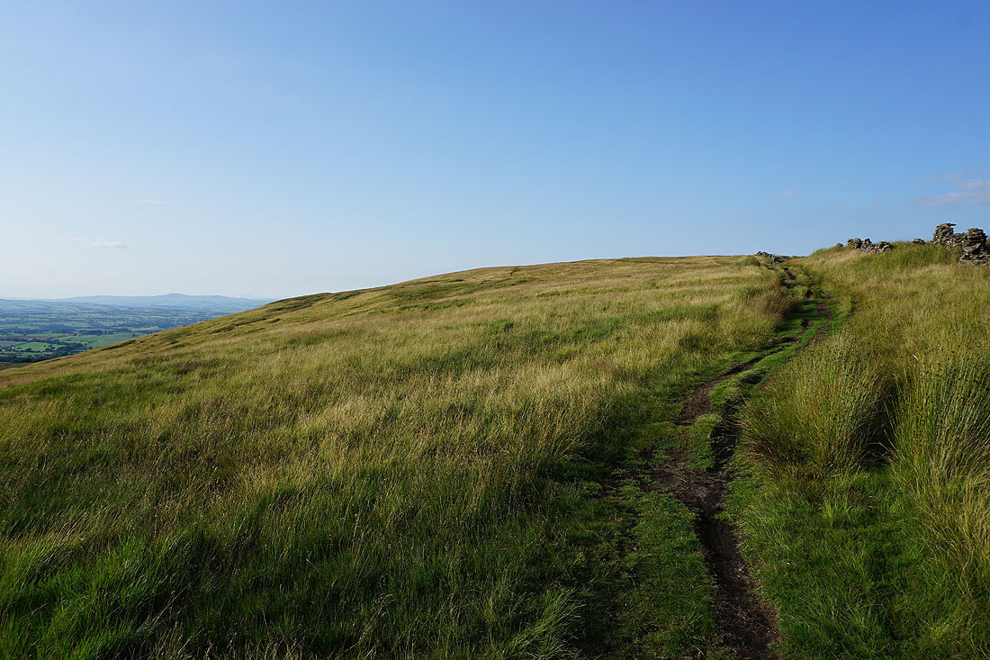
Heading for the top of Weets Hill and I can't wait to take in the view
Pendle Hill with the Forest of Bowland on the other side of the Ribble Valley
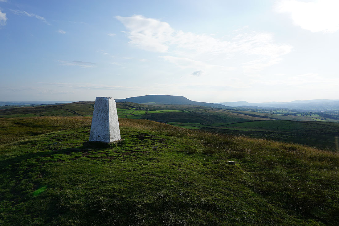
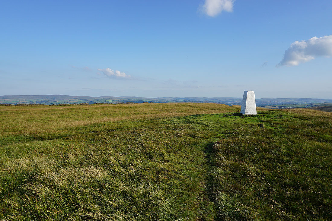
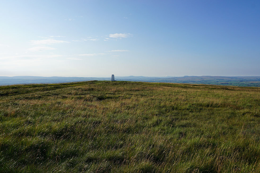
Pendle Hill from the trig point on the summit of Weets Hill
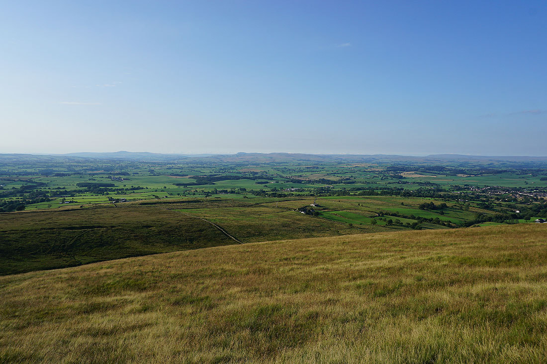
There's fantastic view north to the Yorkshire Dales this evening. I can easily make out Ingleborough, Penyghent, Buckden Pike and Great Whernside.
and if I zoom in to the left of Ingleborough, the outline of some of the Lake District fells can be made out
Then from northeast round to east; Penyghent, Buckden Pike, Great Whernside and Barden Moor with Barnoldswick below
Barden Moor and Pinhaw Beacon
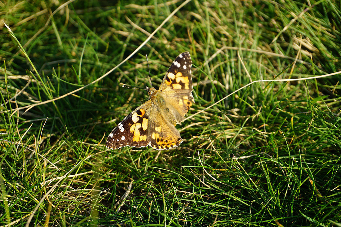
One of many painted lady butterflies that were flying around on the top of the hill
Boulsworth Hill, Hoof Stones Height, Thieveley Pike and Hameldon Hill in the South Pennines in the distance
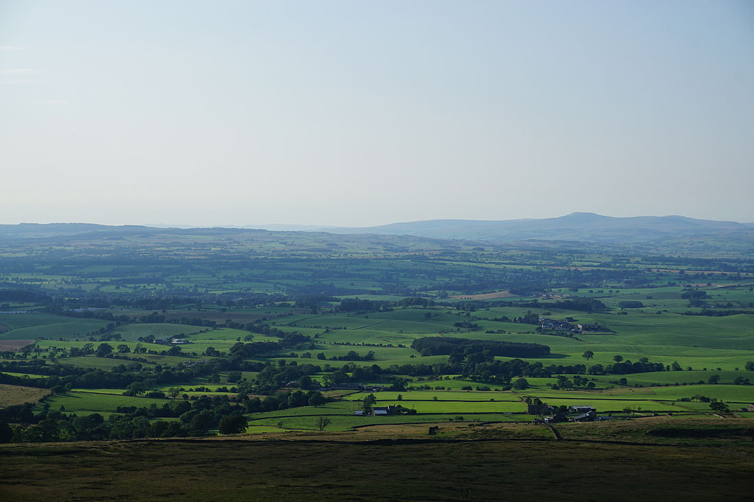
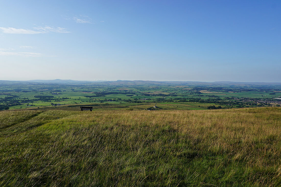
A couple more shots of the view to the north before I leave the summit. There's even a handily placed bench for taking it in..
Heading back to Weets House Farm
Pendle Hill and the Forest of Bowland
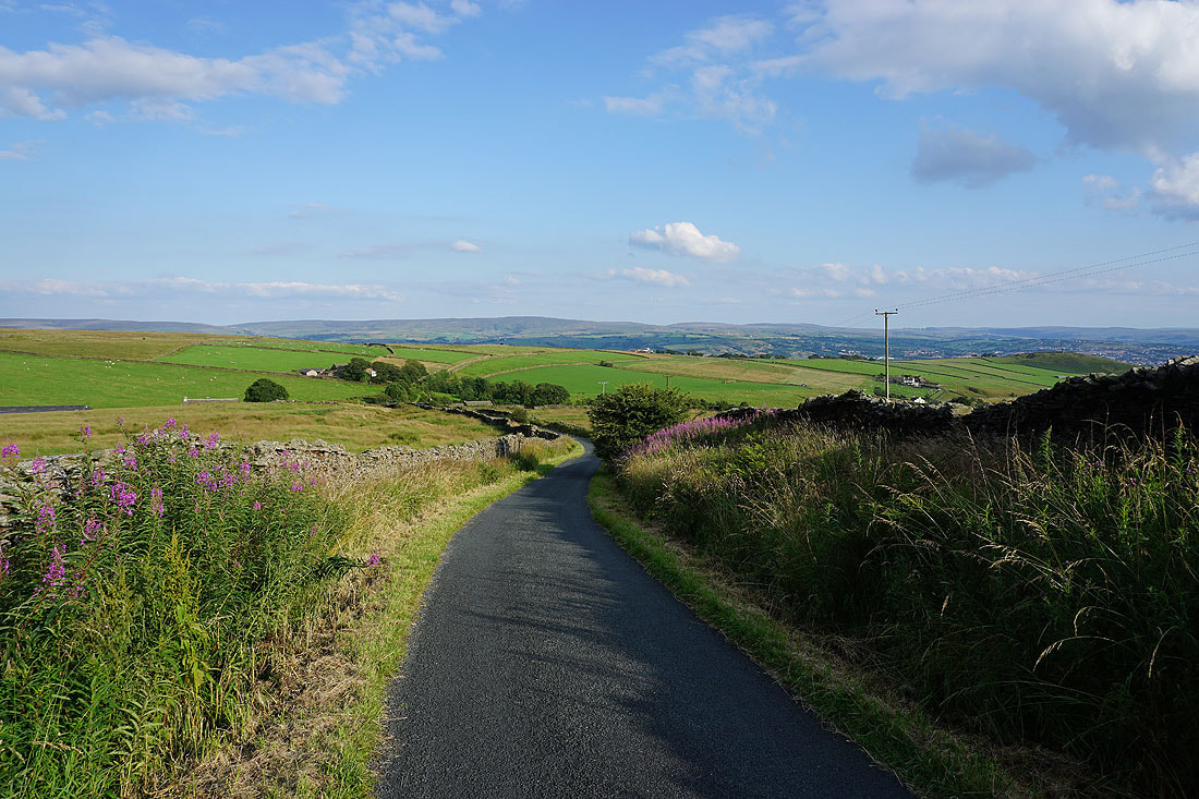
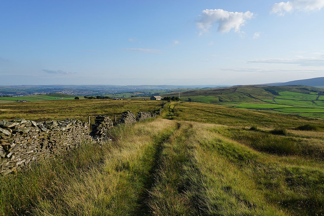
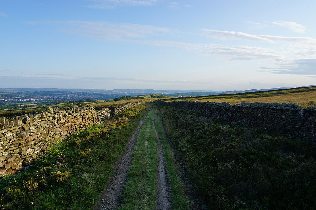
Heading back down Gisburn Old Road
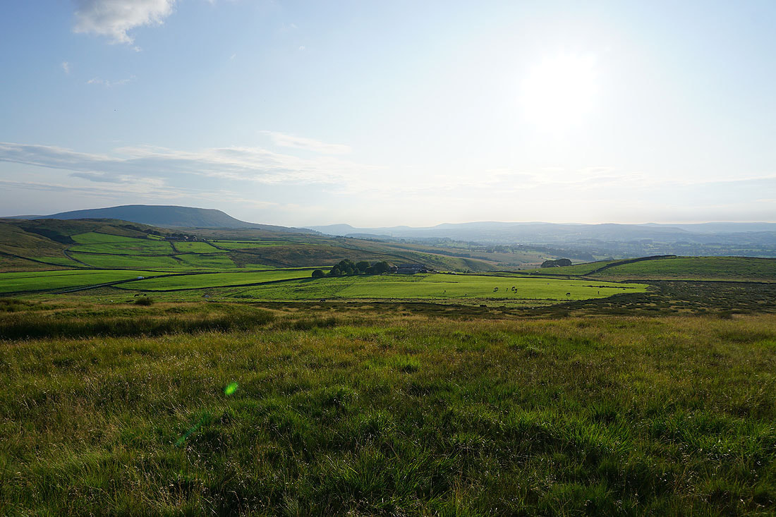
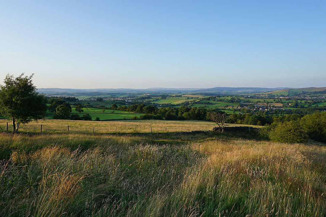
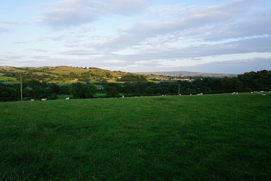
The lowering sun is casting a beautiful light across the countryside, especially on this neighbouring field of long grass
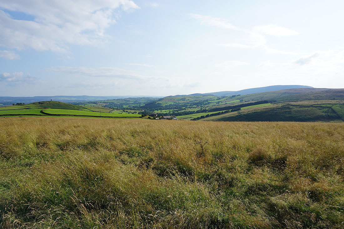
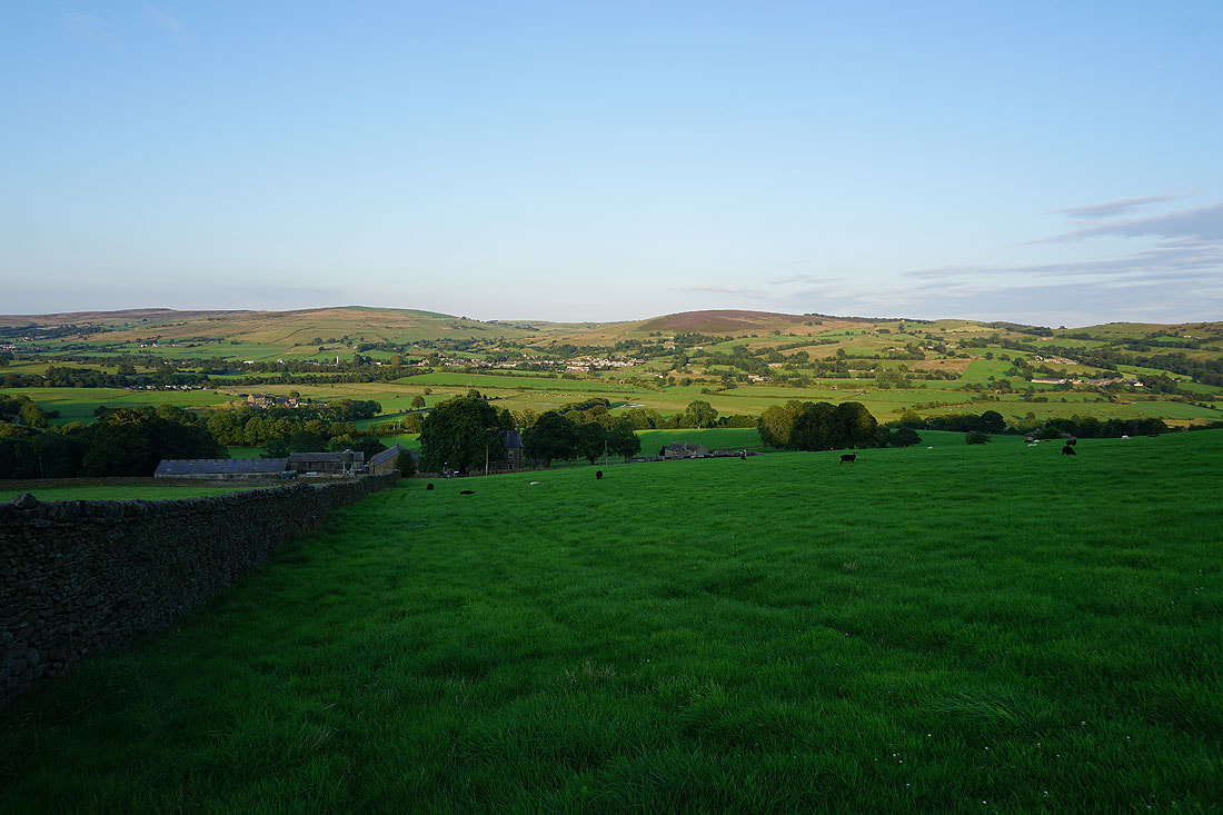
I've left Gisburn Old Road for the bridleway of Lister Well Road. Looking back to Hameldon Hill in the distance behind Stansfield Tower on Blacko Hill.
Great Whernside in the distance ahead of me
Lister Well Road was left at this gate for the footpath down to Copy Nook
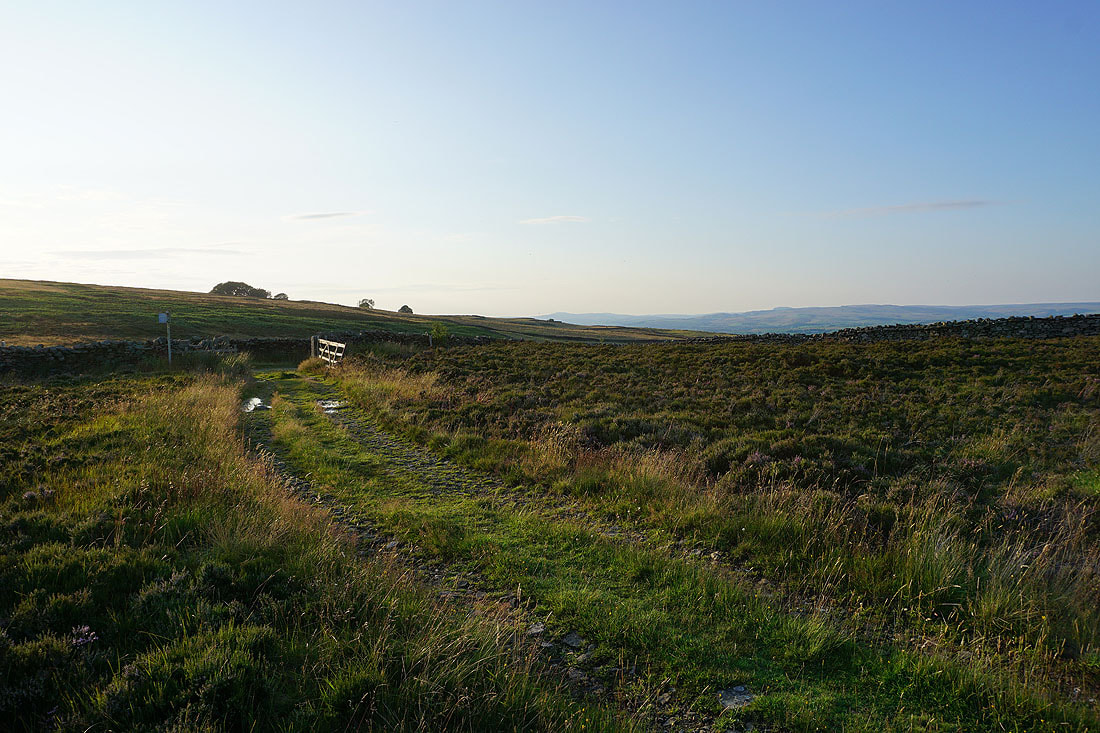
Boulsworth Hill in the distance
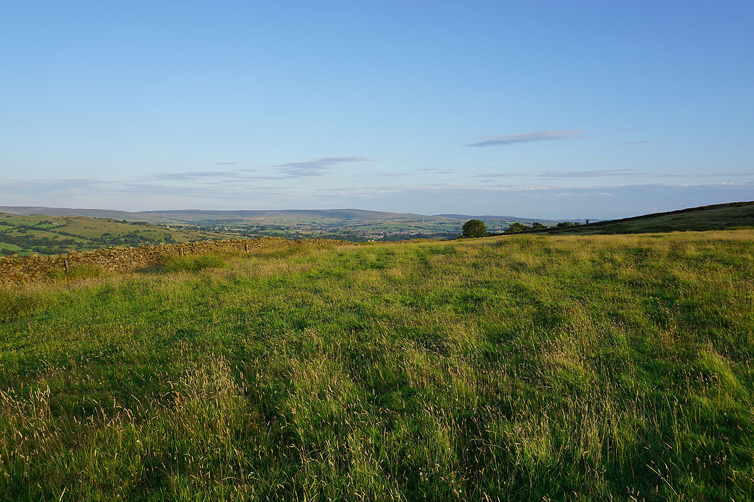
Barden Moor, Earby, Thornton Moor, Bleara Moor and Kelbrook as I head down to Copy Nook
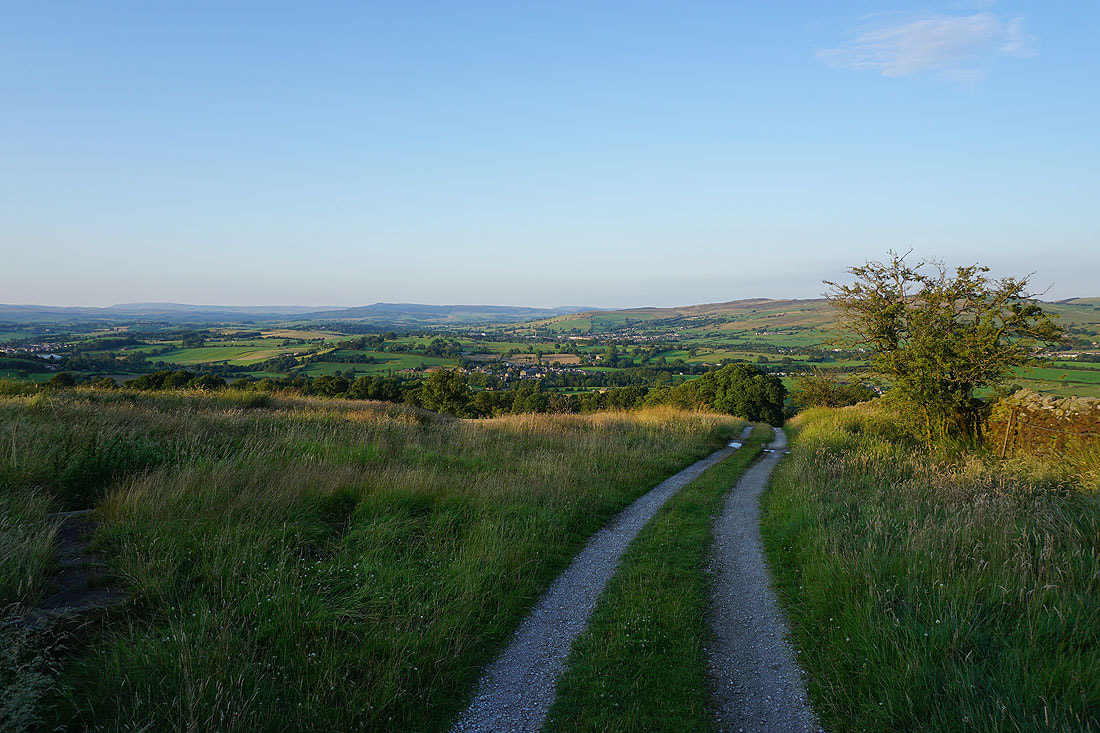
Lovely views to Great Whernside and Barden Moor, with Salterforth and Earby below, as I walk down the track from Copy Nook down to High Lane..
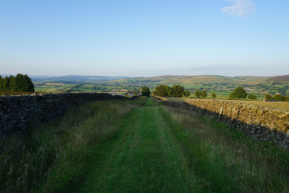
Bleara Moor, Kelbrook and Kelbrook Moor as I follow the footpath down to Booth House Farm
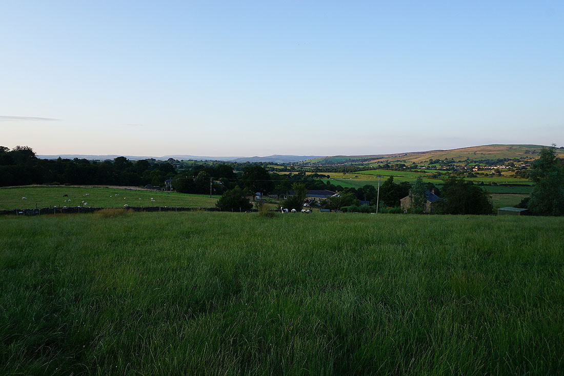
Noyna Hill and Boulsworth Hill as I head down to cross County Brook
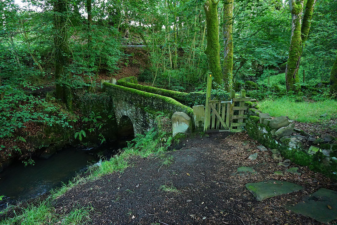
Across the bridge over County Brook
Great Whernside and Barden Moor in the distance from above Hullet Hall
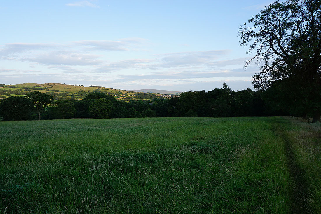
Noyna Hill and Boulsworth Hill
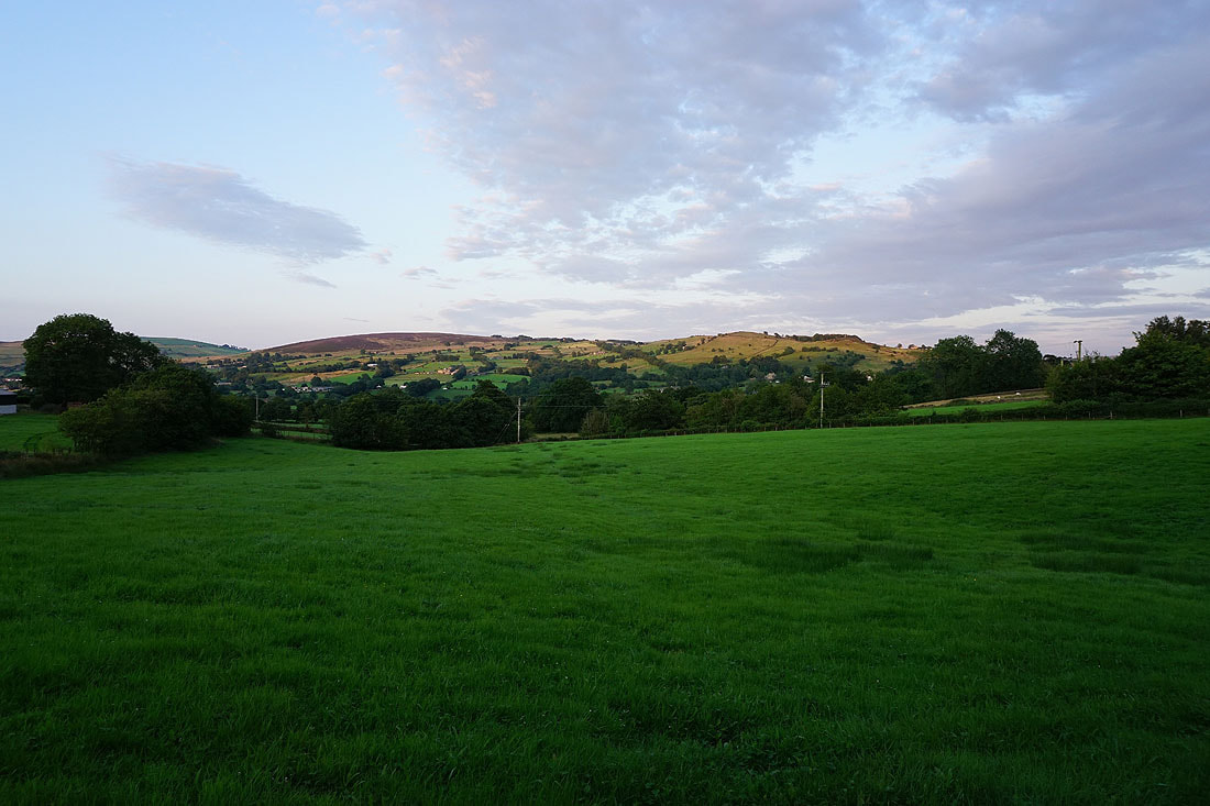
Kelbrook Moor and Noyna Hill
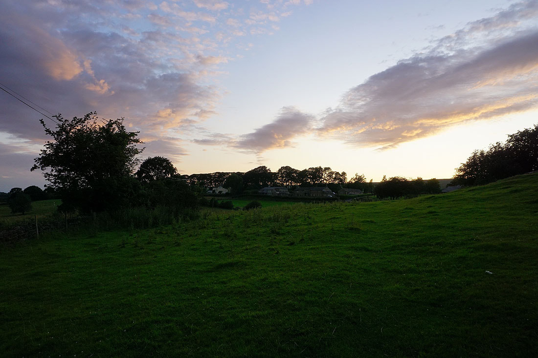
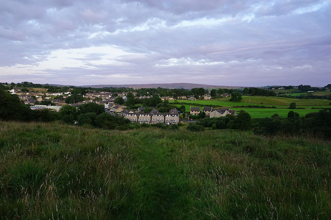
The sun has set. I'm certainly making the most of the available daylight.
Back home in Foulridge
