29th July 2023 - Pendle Hill
Walk Details
Distance walked: 12.6 miles
Total ascent: 1809 ft
OS map used: OL41 - Forest of Bowland & Ribblesdale and 287 - West Pennine Moors
Time taken: 6 hrs
Route description: Pendleton-Pendleton Road-Wiswell Eaves Farm-Wiswell Moor-Wiswell Moor Houses-The Rough-Nick of Pendle-Pendleton Moor-Ogden Clough-Pendle Hill-Downham Moor-Worston Moor-Mearley Moor-Pendleton Moor-Nick of Pendle-Wymondhouses-Pendleton
It's been four months since my last walk on Pendle Hill, so a visit was due, and since I'd decided to stay local for my walk this weekend it was an obvious choice. I'm setting off from Pendleton, which I've done a couple of times now for a walk up Pendle Hill. With it being just off the A59 it's easy for me to get to, and gives me the option of just taking in Pendle Hill or adding to it by taking in the moorland above Wiswell and to the south of the Nick of Pendle, which makes the route long enough to be a proper full day's walk, as it did today. On balance the weather was better than it was yesterday, with more in the way of sunshine, although a build up of cloud late in the afternoon resulted in me having a close shave with a shower that passed by just to the north.
After parking in Pendleton I walked along Pendleton Road towards Wiswell, before leaving it for a footpath on the left up the track to Wiswell Eaves Farm. I followed the footpath through the farmyard, up onto and across Wiswell Moor, and down to the bridleway past Wiswell Moor Houses. I followed this to the northeast until I was almost at the Nick of Pendle, where I left it for a quad bike track onto access land, and a crossing of the moor to the trig point on The Rough. After a stop for lunch and to take in the view I followed the path northeast to the Nick of Pendle, crossed the road, and then made my way up across Pendleton Moor to Ogden Clough. I then took the path up Ogden Clough, and the flagged path up to the trig point on the summit. From the trig point I walked north to cross the wall onto Downham Moor, then followed the path west across Downham Moor, then southwest to the Scout Cairn on Worston Moor, and then southwest across Mearley Moor to the Clayton-le-Moors Harriers cairn. I left Mearley Moor by taking a path southeast across Howcroft Brook and onto Pendleton Moor, and I then made my way down Pendleton Moor to the Nick of Pendle, where I took the path down to Wymondhouses once I'd crossed the road. Approaching Wymondhouses I took a footpath on the right that bypasses the farm and then followed it down through fields and back to Pendleton.
Route map
© Crown copyright. All rights reserved. License number PU 100034184.
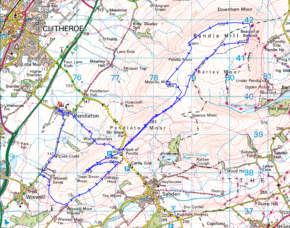
It's a fine summer's morning in Pendleton

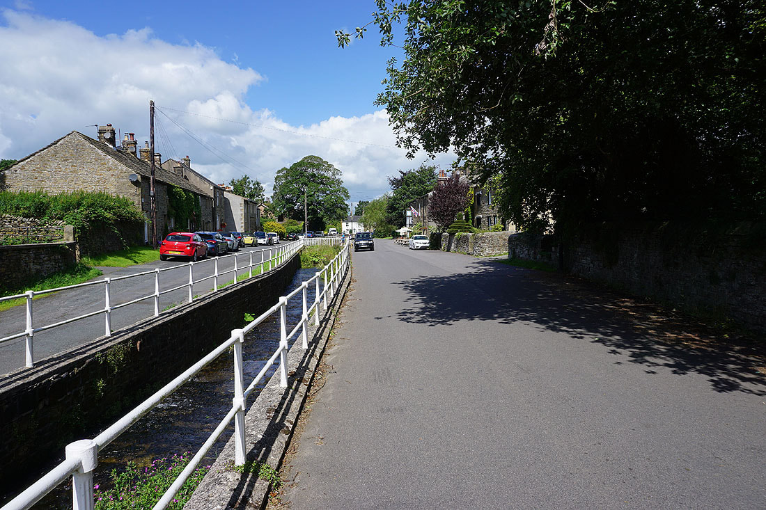
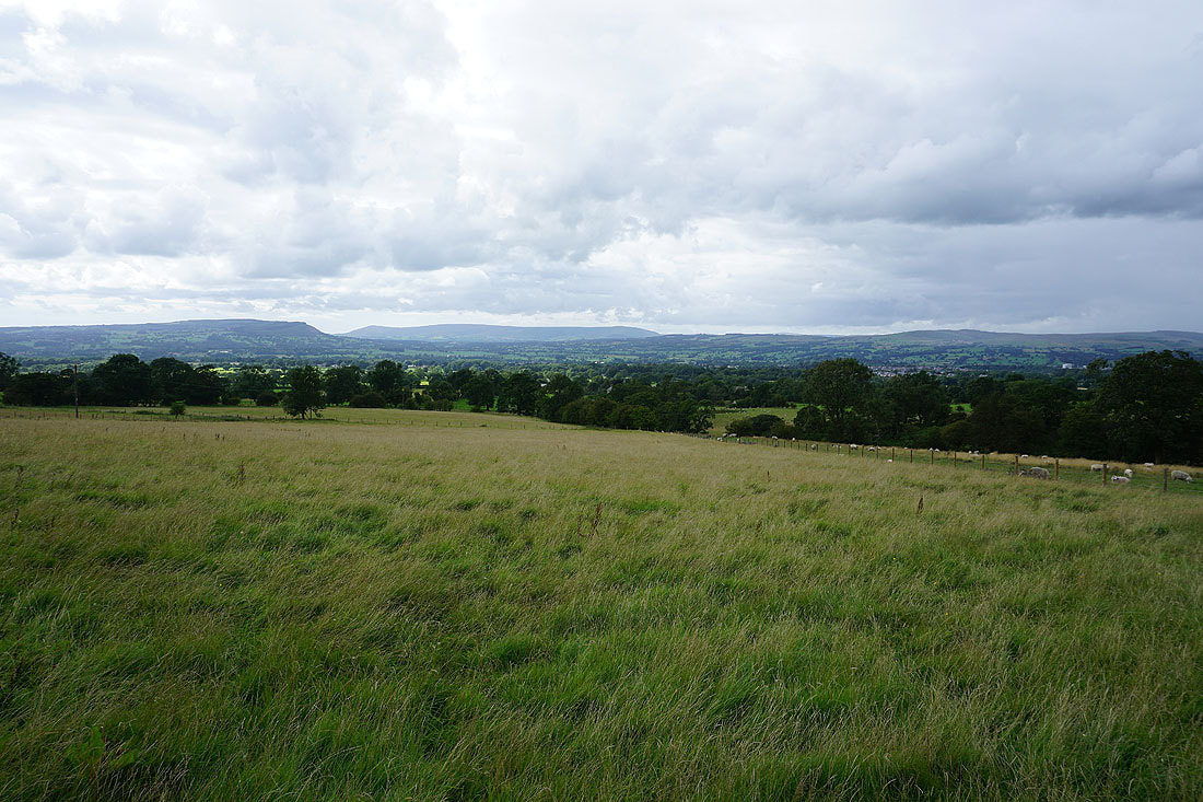
Looking across the Ribble Valley to Longridge Fell, Parlick, Fair Snape Fell, Totridge and Waddington Fell as I walk south along Pendleton Road towards Wiswell
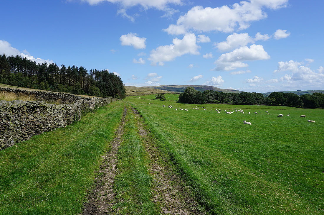
On the other side of the road, the moorland of The Rough
Walking south along the hedgerow lined road
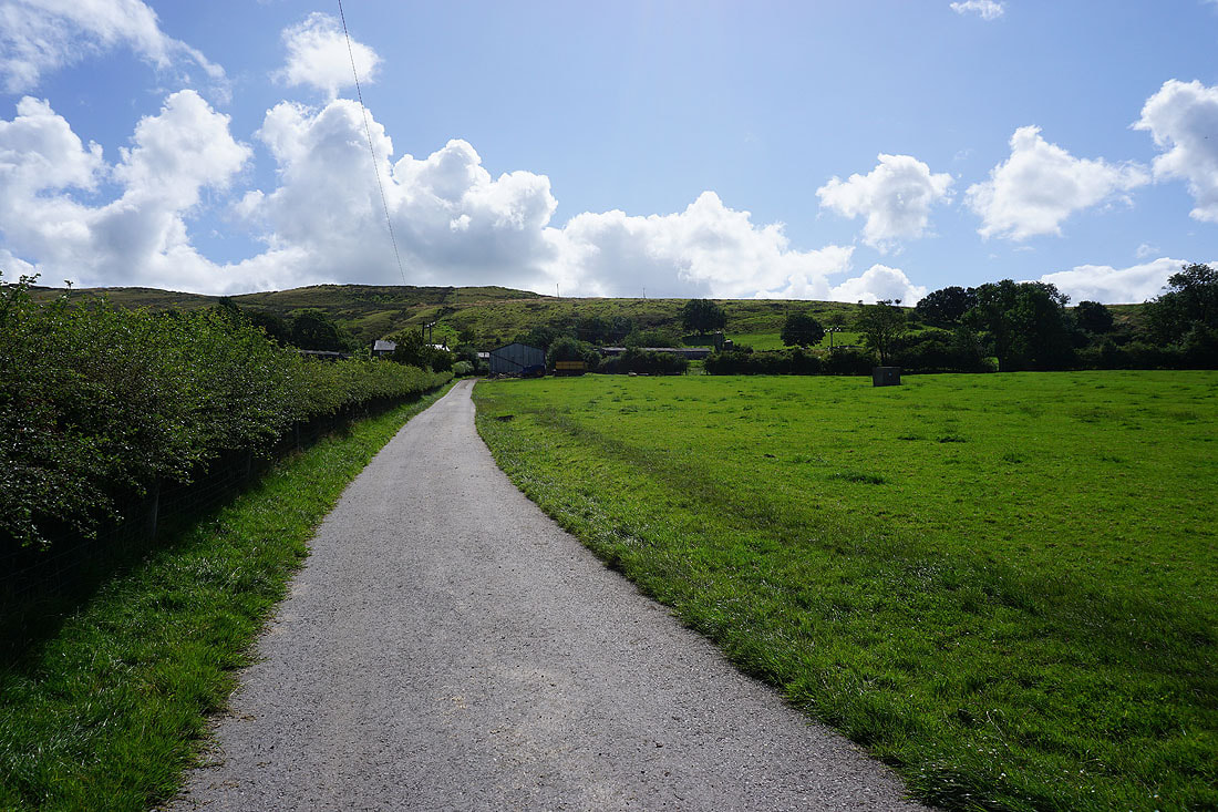
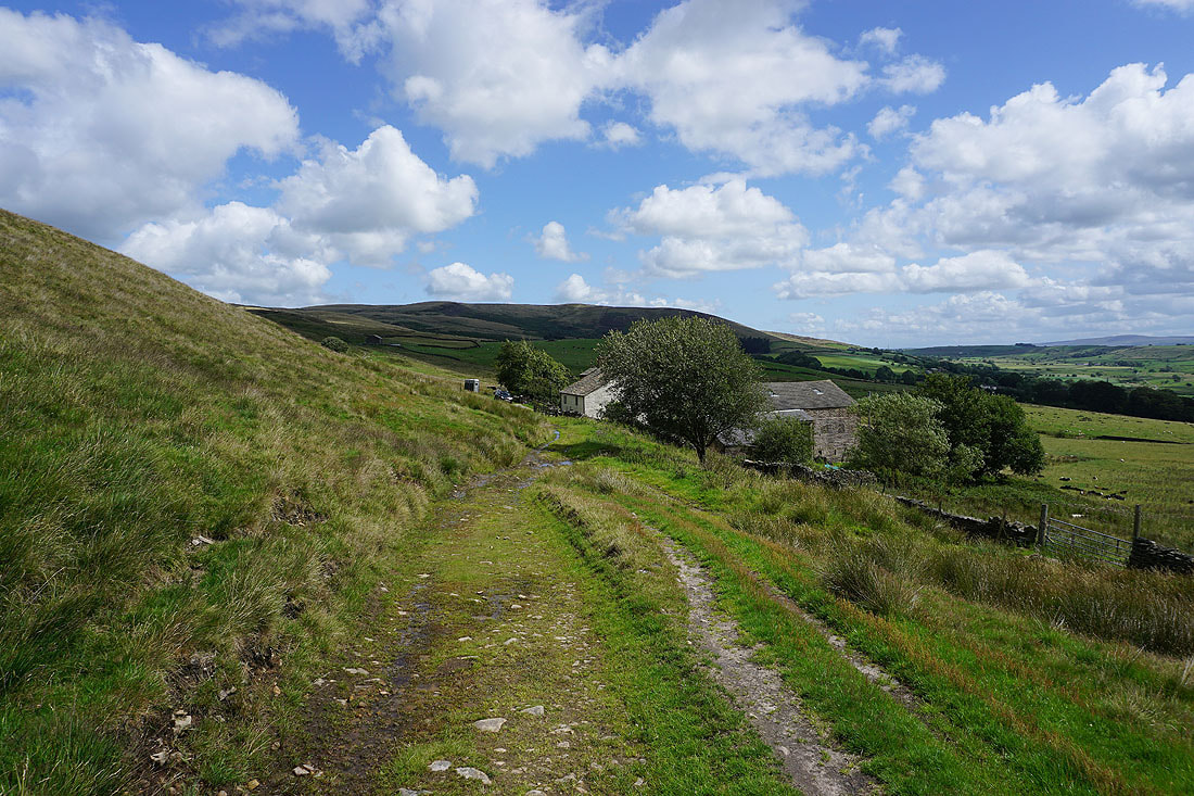
The road is left behind for the footpath up to Wiswell Eaves Farm
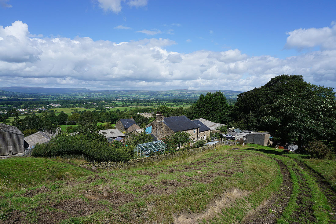
Above Wiswell Eaves Farm
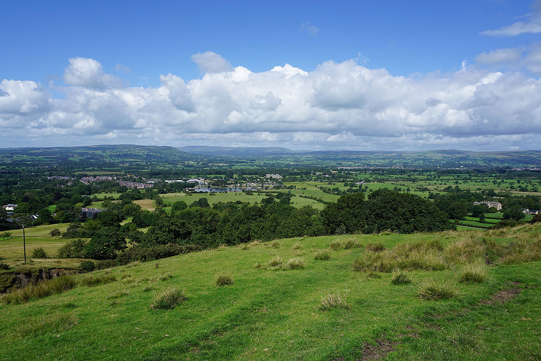
Views across the Ribble Valley to the Forest of Bowland as I head up and over Wiswell Moor..
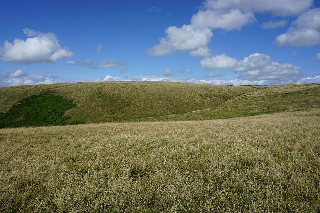
The moorland of The Rough, with Pendle Hill beyond
Looking across to Sabden and the wooded Black Hill..
..and to Great Hameldon in the distance, as I head down to the bridleway at Wiswell Moor Houses
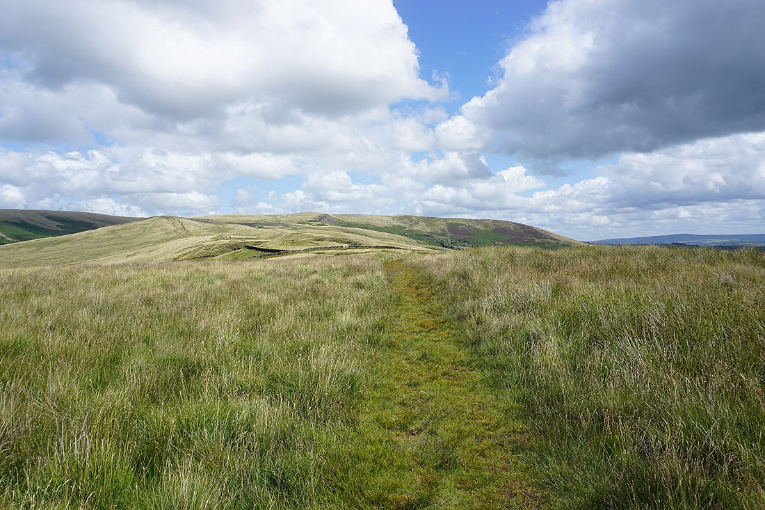
Making my way along the bridleway towards the Nick of Pendle..
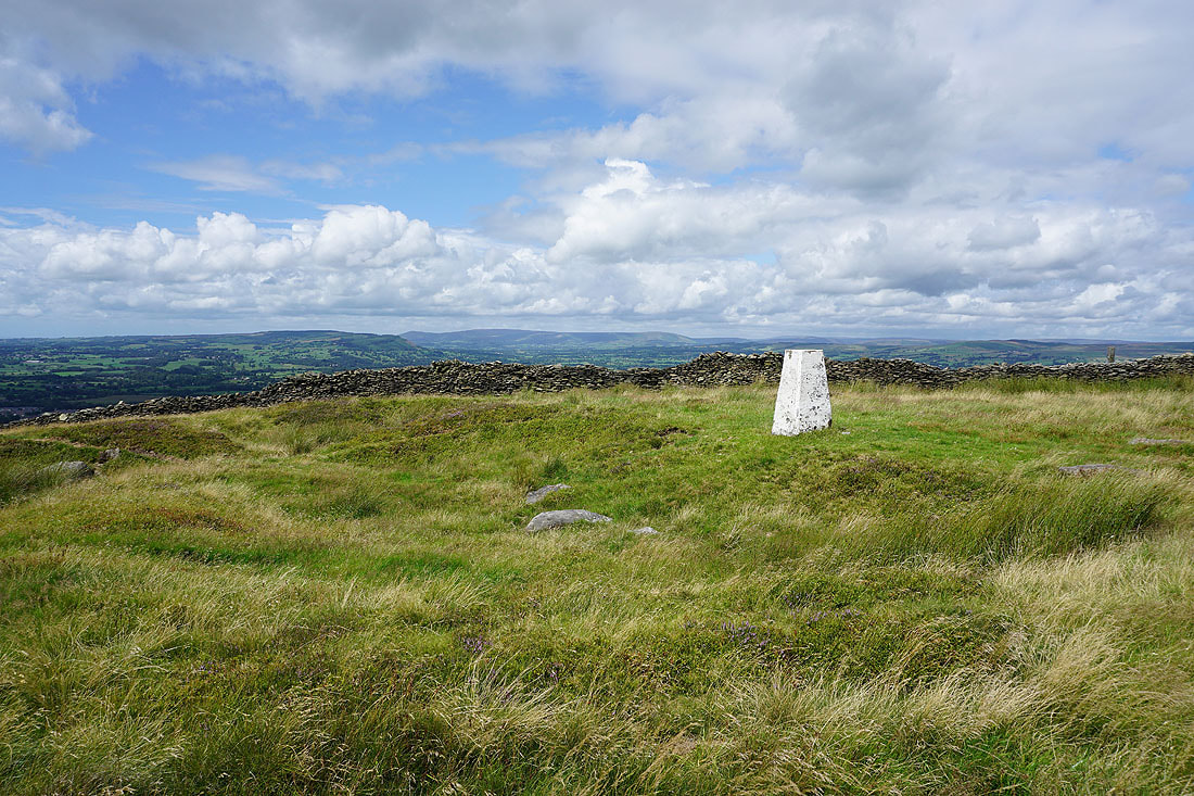
Heading for the trig point on The Rough
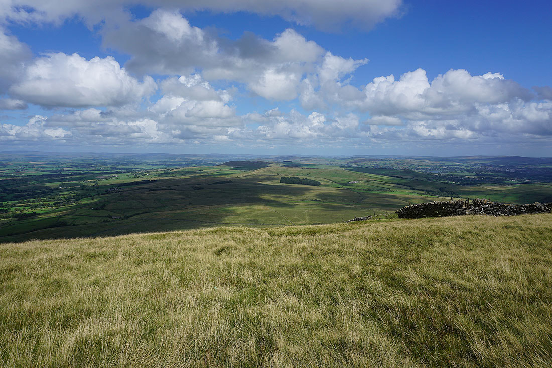
At the trig point on The Rough, with the West Pennine Moors in the distance to the south
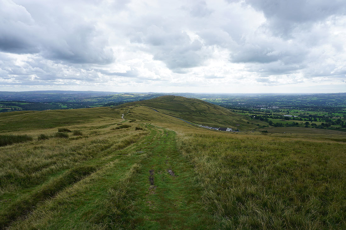
Pendle Hill and Spence Moor to the northeast
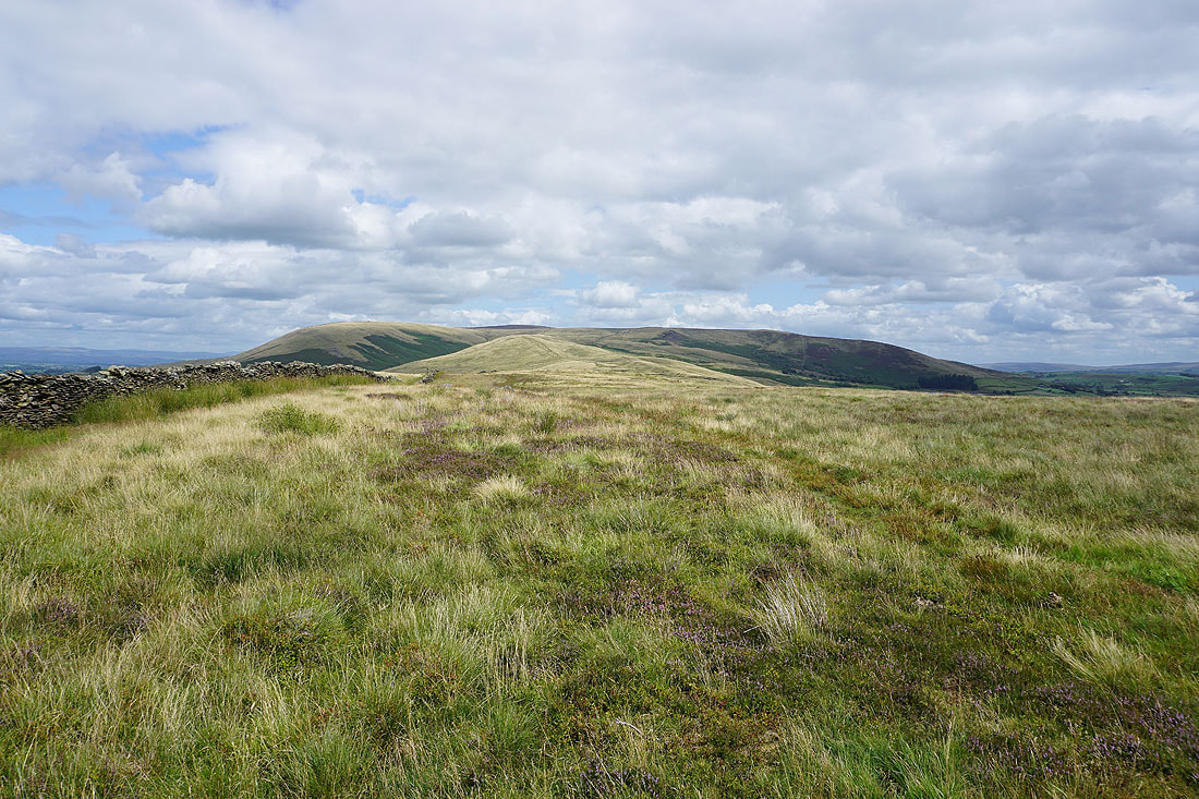
and again, without the trig point in the way
Looking across the Ribble Valley to the Forest of Bowland..
..and to Ingleborough, Penyghent, and Fountains Fell in the distant Yorkshire Dales
Sabden and Black Hill to the southeast, with the South Pennines in the distance
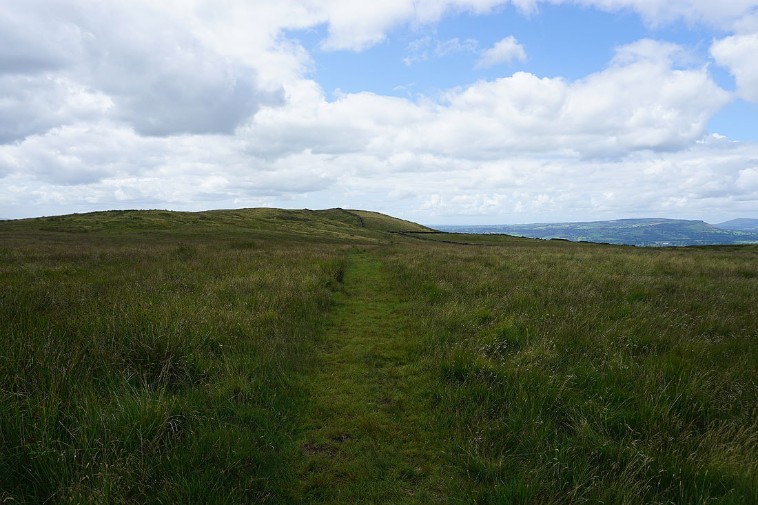
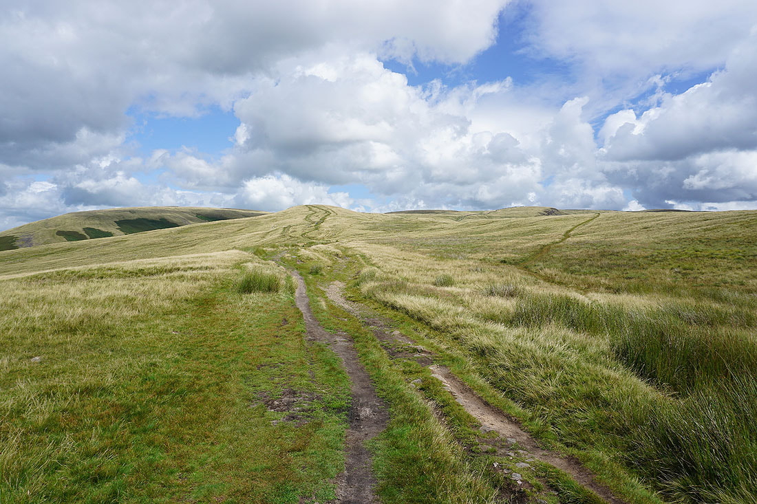
Heading for the Nick of Pendle
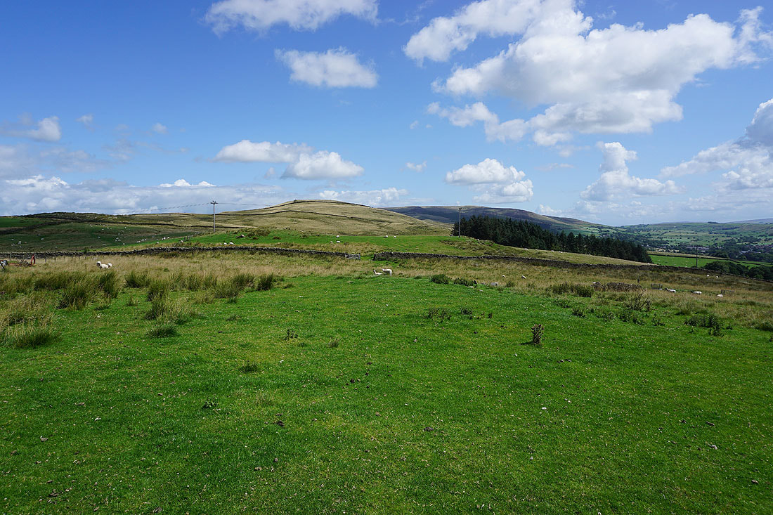
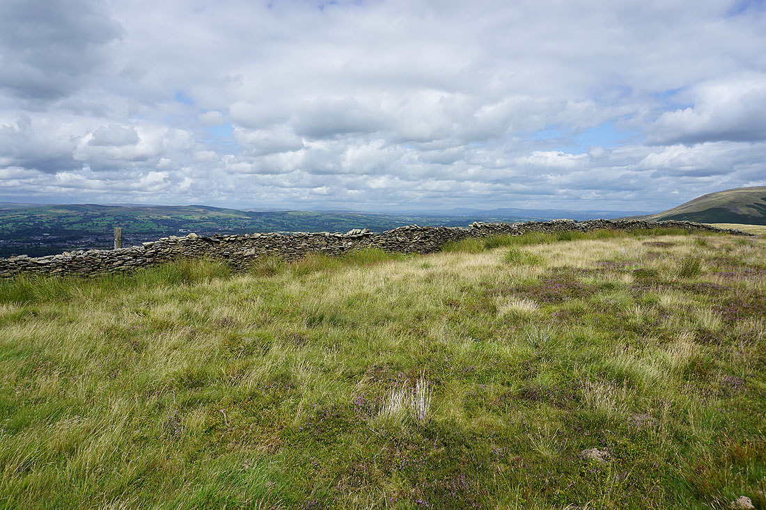
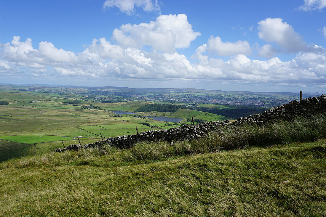
Across the Nick of Pendle and on Pendleton Moor
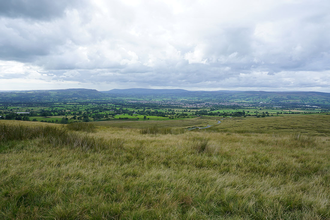
Looking across the Ribble Valley to Longridge Fell, Parlick, Fair Snape Fell, Totridge, and Waddington Fell from Pendleton Moor
and back to the Nick of Pendle and The Rough
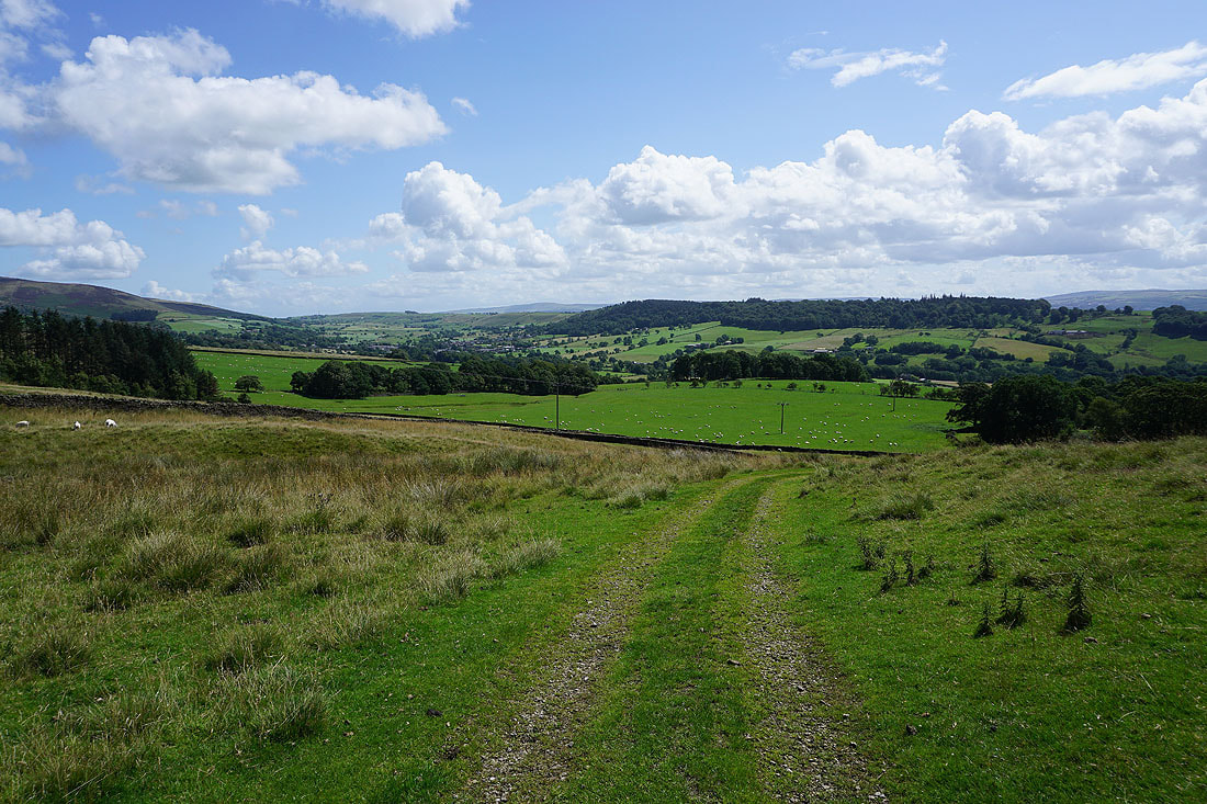
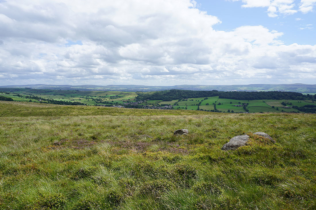
The broad slopes of Mearley Moor. I'll be over there in a couple of hours time.
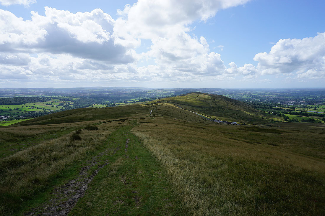
Looking back across Pendleton Moor
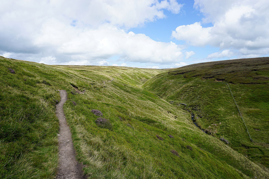
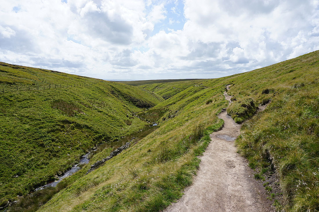
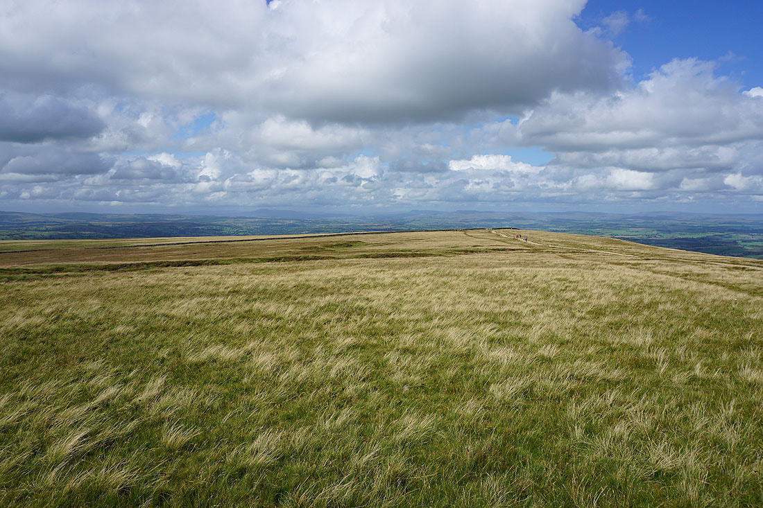
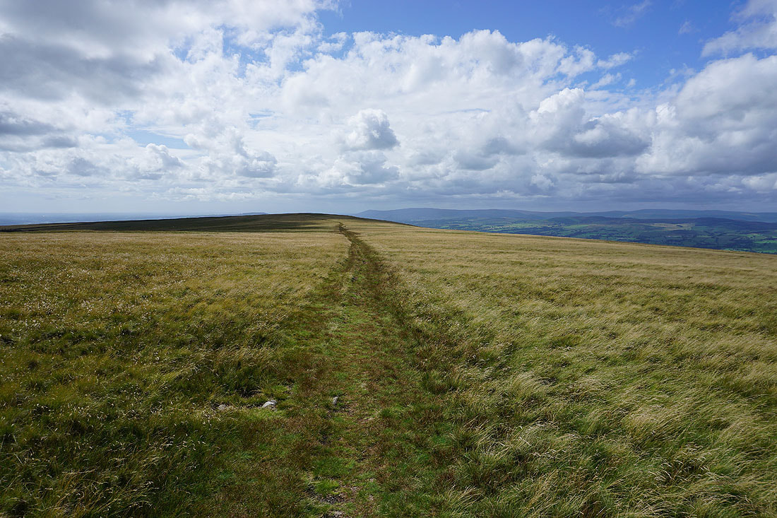
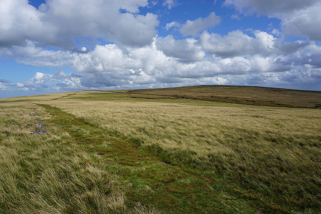
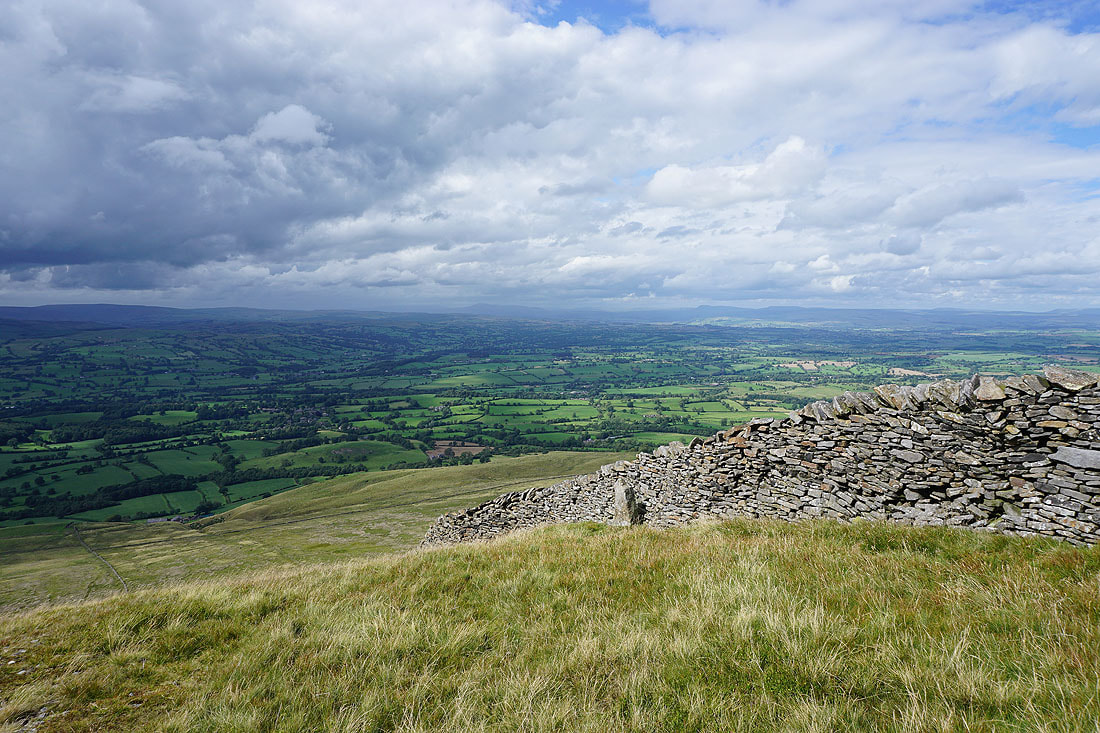
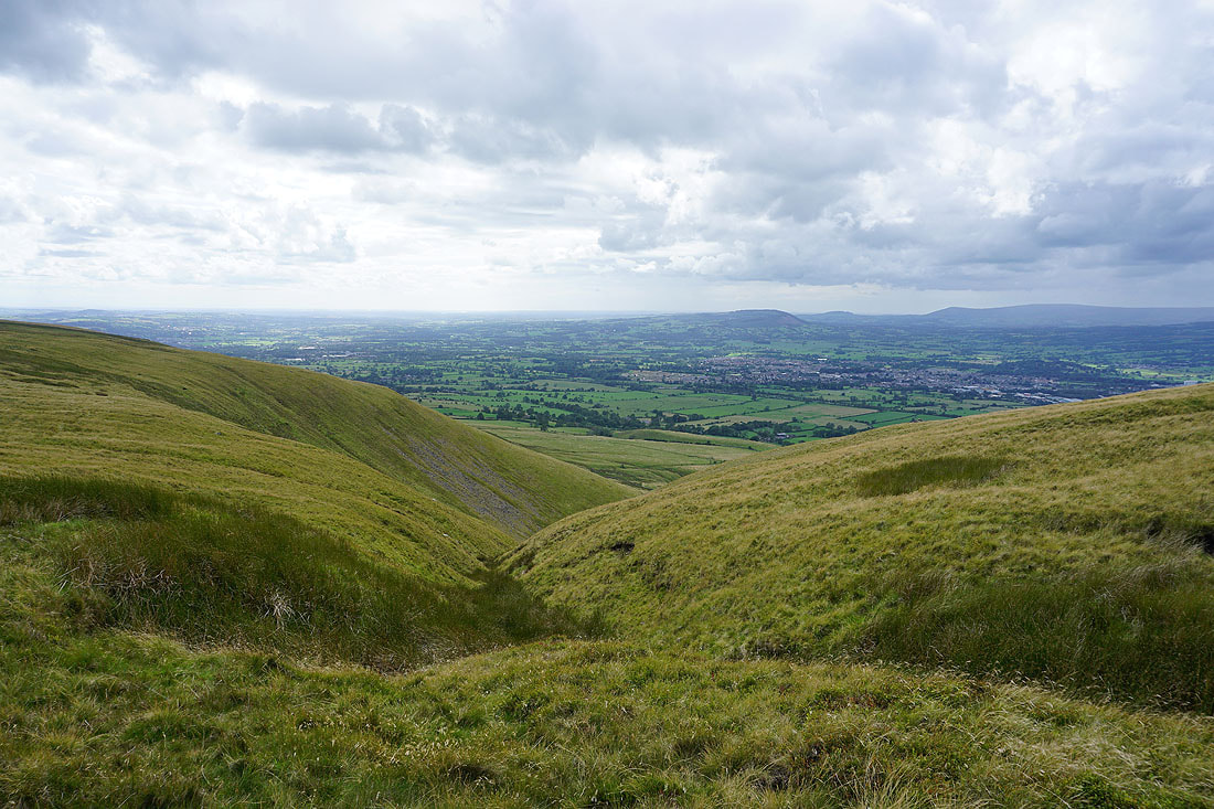
Pendle Hill ahead as I take the path into Ogden Clough
On the path up Ogden Clough..
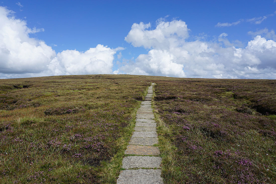
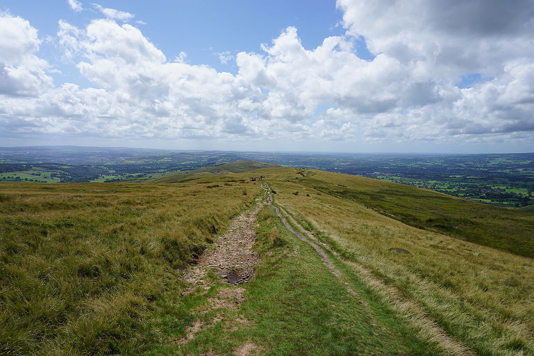
and then up the flagged path to the summit
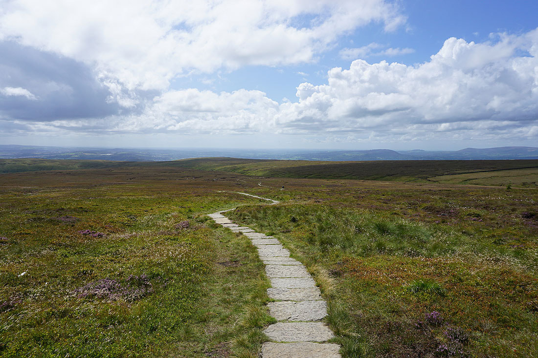
Looking back to the Ribble Valley
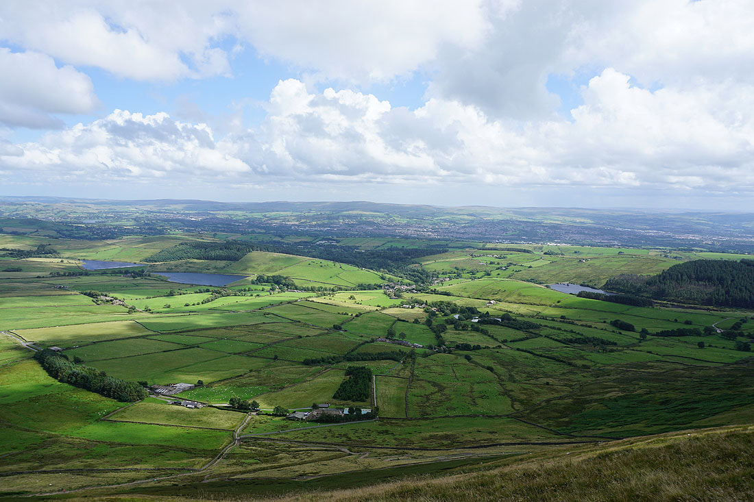
and across Downham Moor to the Forest of Bowland and the Yorkshire Dales..
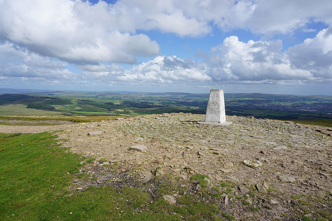
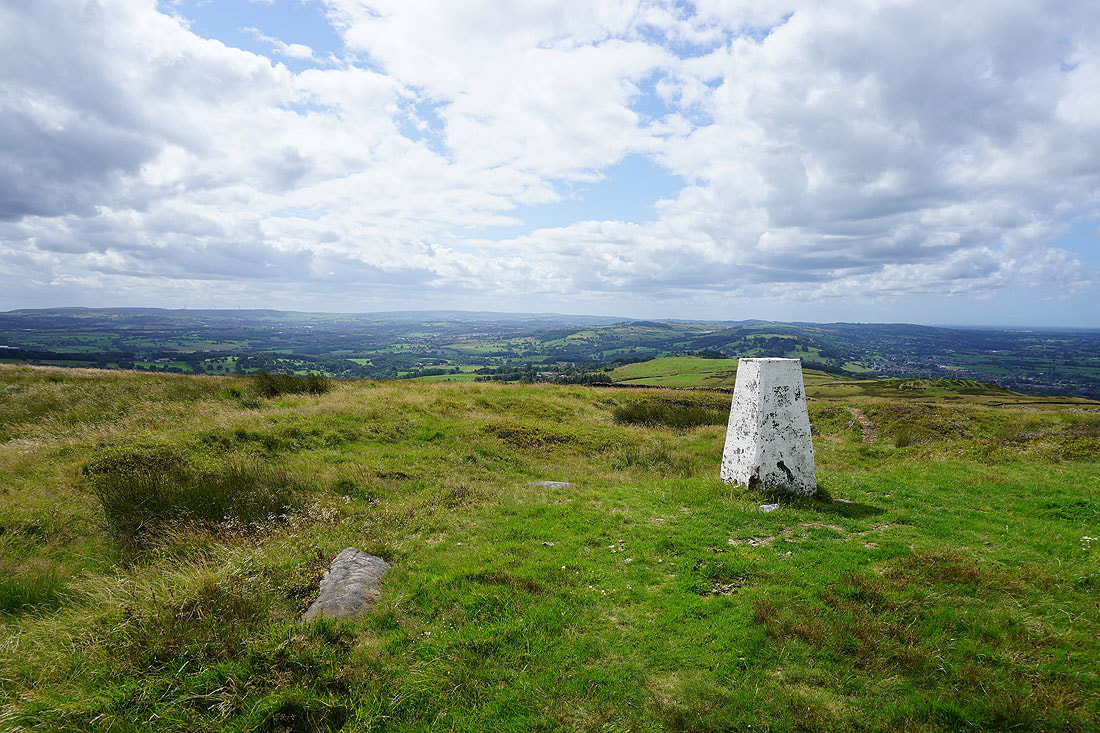
At the trig point on the summit of Pendle Hill
The view to the east to Boulsworth Hill in the distance, with the Black Moss Reservoirs, Barley, and Lower Ogden Reservoir below
The Forest of Bowland in the distance beyond Downham Moor
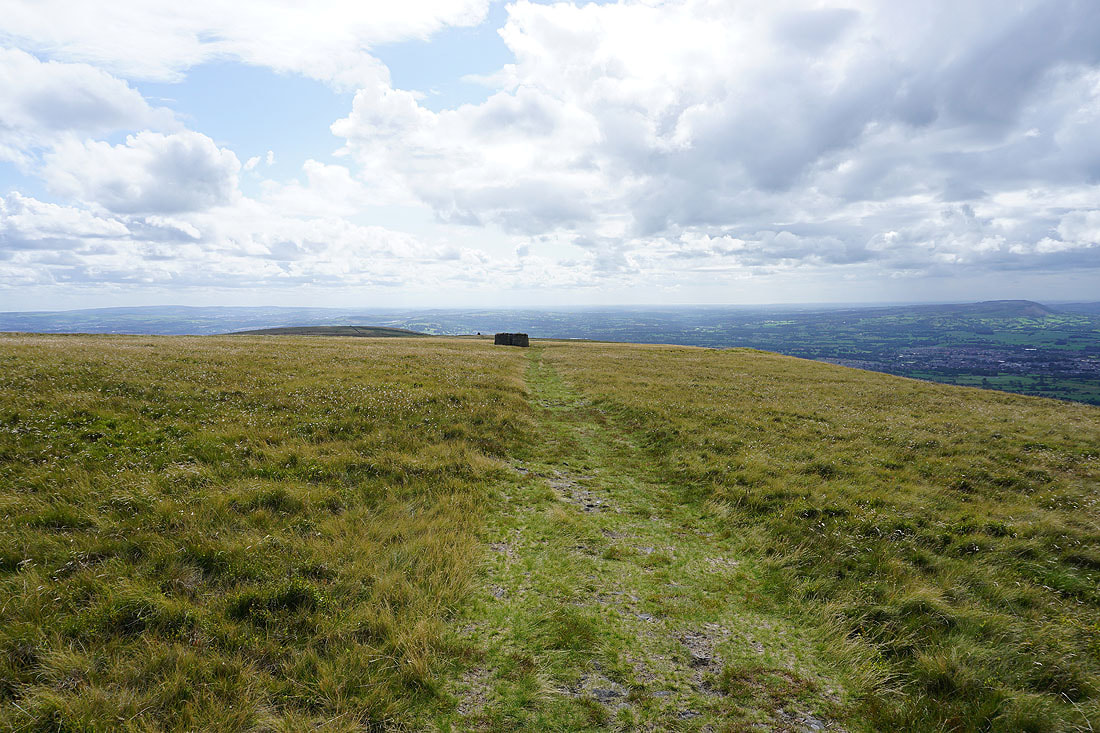
At the northern end of Pendle Hill. Weets Hill, Rimington Moor, and Twiston Moor to the northeast.
and Boulsworth Hill to the southeast, with the Black Moss Reservoirs below
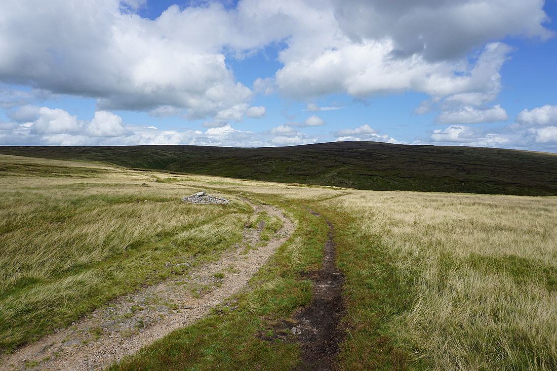
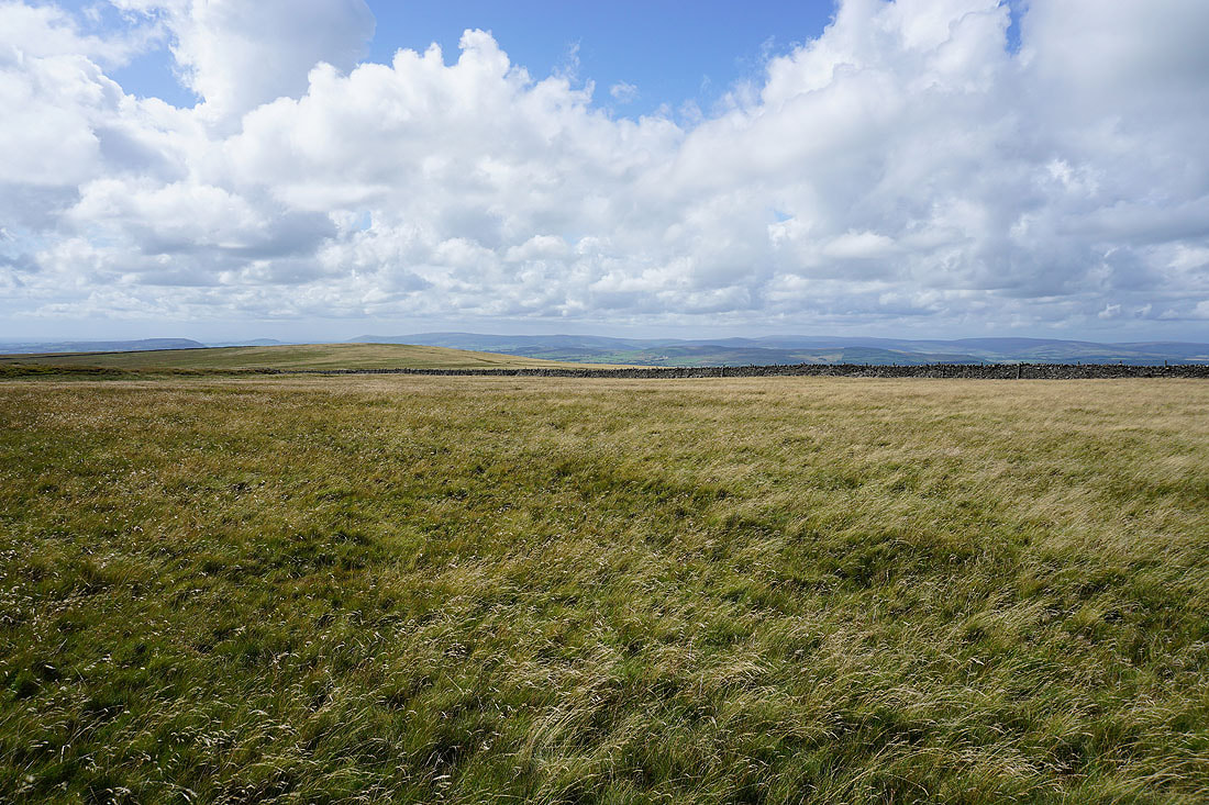
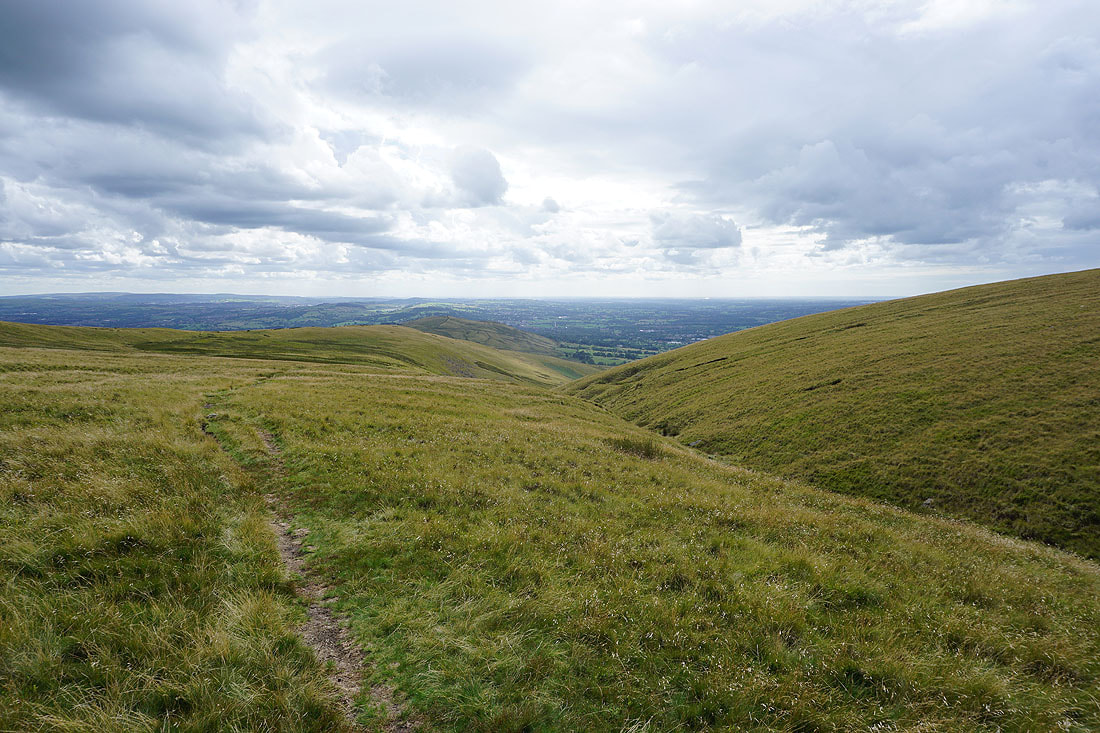
Heading west across Downham Moor
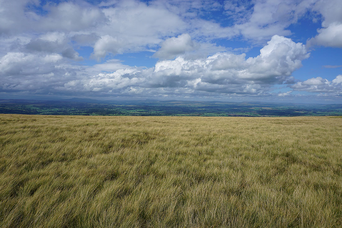
Summer skies for a view across to Ingleborough, Penyghent, Fountains Fell, Buckden Pike, and Great Whernside
Looking back to the summit of Pendle Hill from Downham Moor
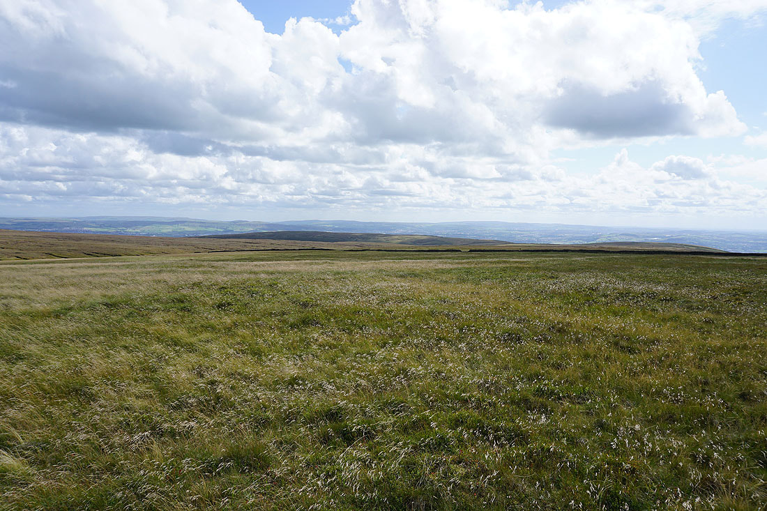
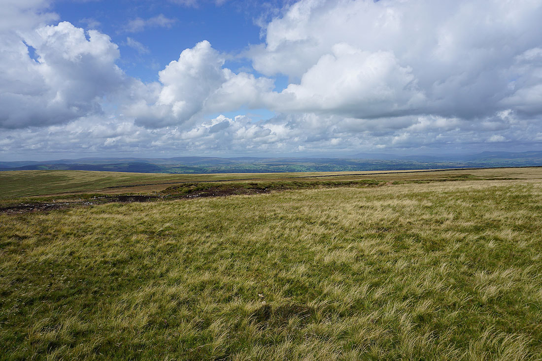
The West Pennine Moors in the distance beyond Spence Moor
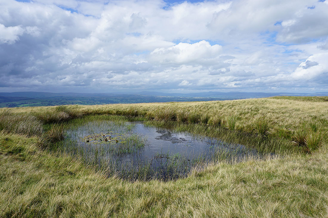
This pool on Downham Moor has become a favourite spot for me to stop and take photos. Looking up the Ribble Valley to Ingleborough and Penyghent.
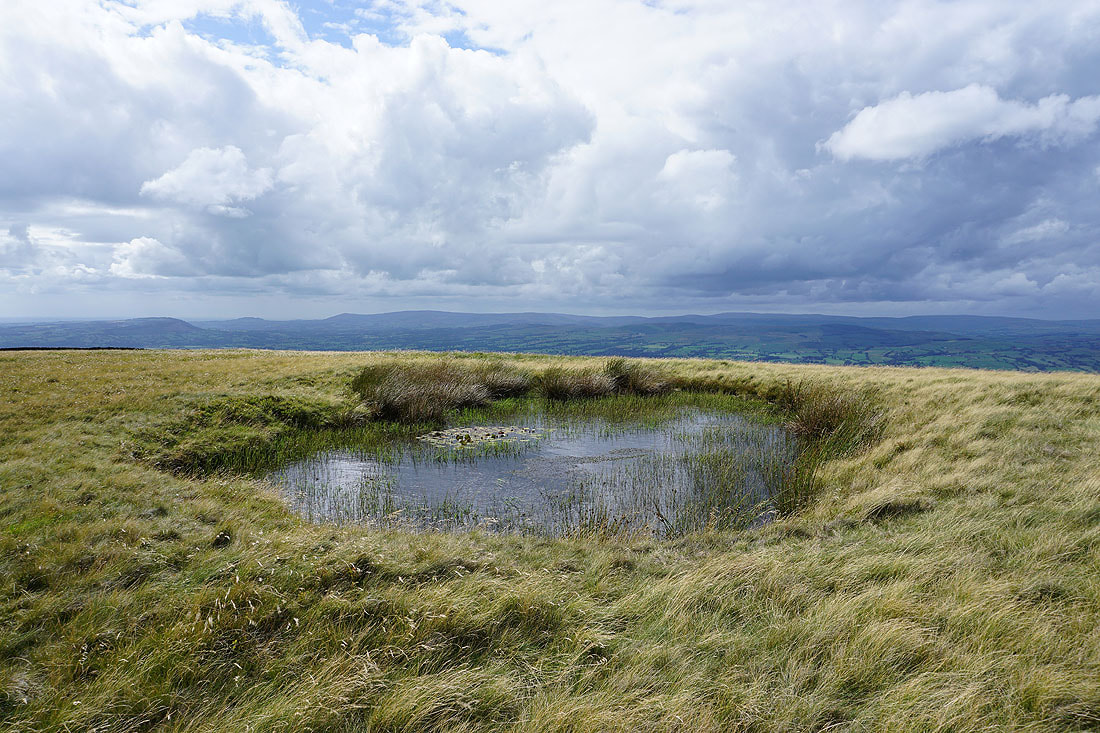
and across the Ribble Valley to the Forest of Bowland
Looking up the Ribble Valley to Ingleborough and Penyghent from the edge of Worston Moor
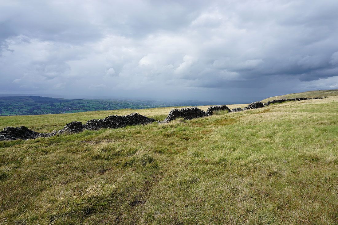
Heading across Worston Moor past the circular shelter to the Scout Cairn
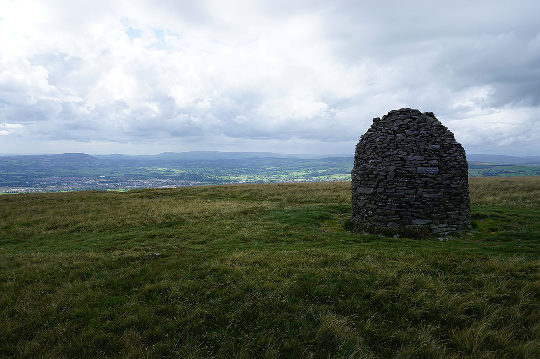
At the Scout Cairn, with the Forest of Bowland in the background
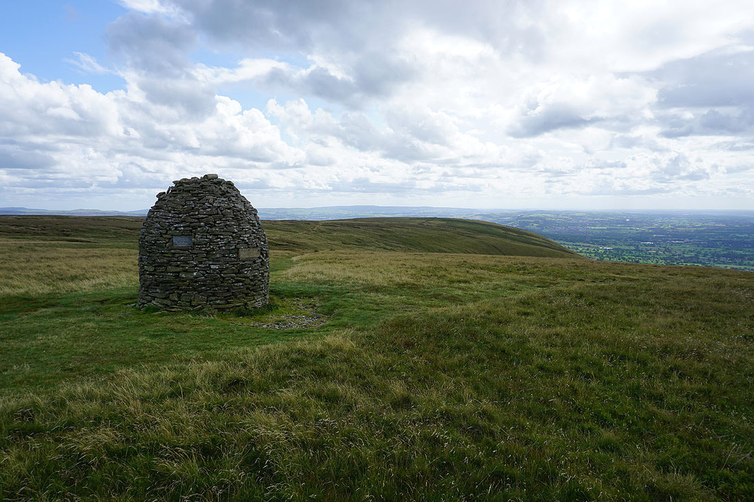
and Mearley Moor from the Scout Cairn, which is where I'm heading to now
The Ribble Valley below as I cross the top of Mearley Brook
On Mearley Moor. The Yorkshire Dales disappear from view as a shower passes by to the north.
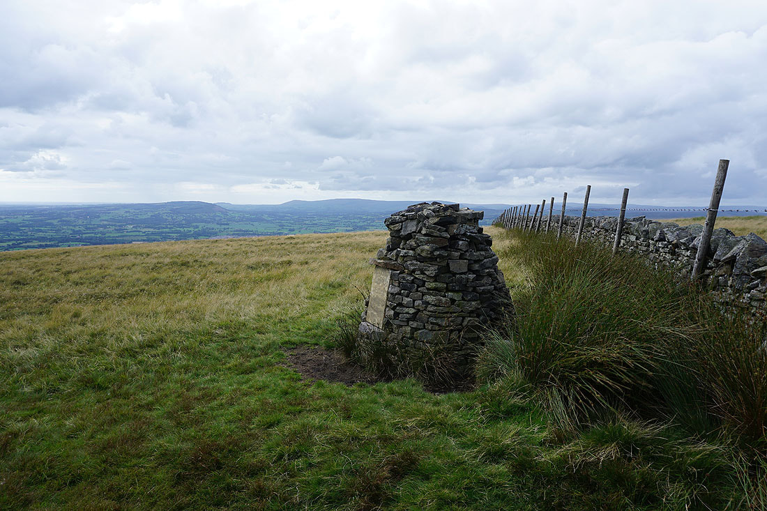
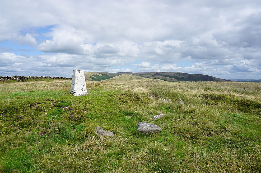
The Clayton-le-Moors Harriers cairn at the western end of Mearley Moor
Heading back to the Nick of Pendle..
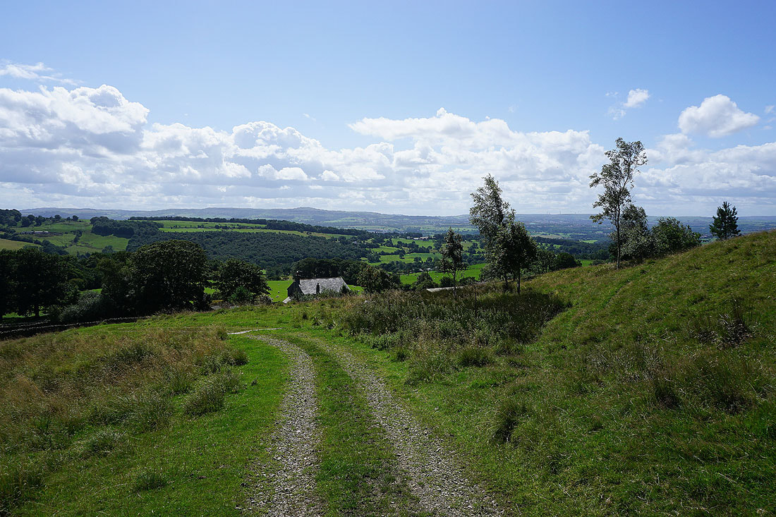
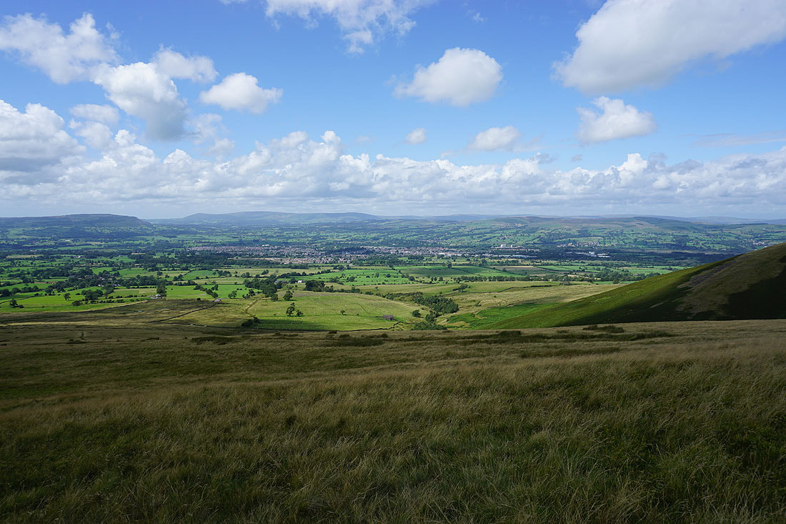
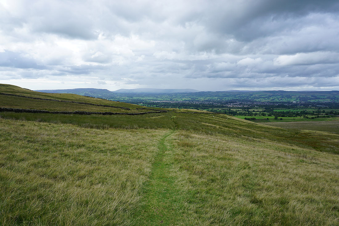
Looking across the Ribble Valley and Clitheroe to the Forest of Bowland from Pendleton Moor
Having crossed the road at the Nick of Pendle, following the path down to Wymondhouses..
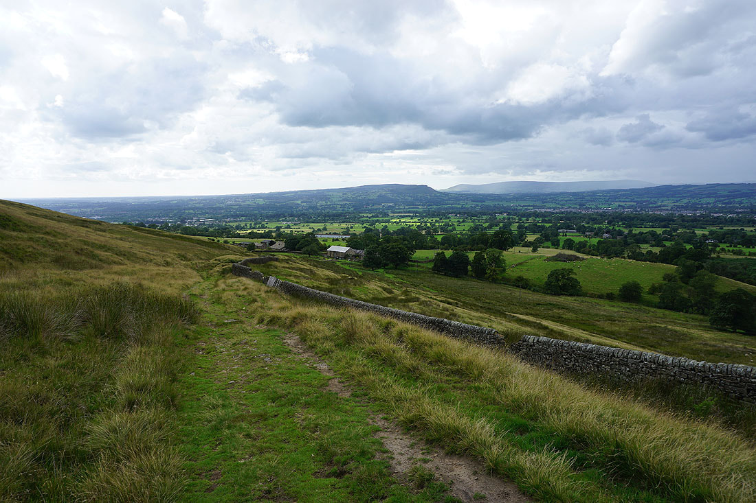
Longridge Fell, Parlick, Fair Snape Fell, Totridge and Waddington Fell as I head back down to Pendleton
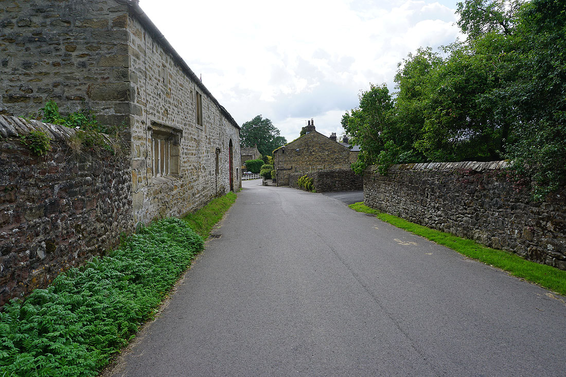
Back in Pendleton