29th June 2013 - A Rough Walk
Walk Details
Distance walked: 5.3 miles
Total ascent: 799 ft
OS map used: 287 - West Pennine Moors
Time taken: 2.5 hrs
Route descripion: Spring Wood-Clerk Hill-Wiswell Moor Houses-Wilkin Heys-Parsley Barn-The Rough-Wiswell Moor Houses-Clerk Hill-Spring Wood
I hadn't planned on going anywhere today but when it unexpectedly brightened up in the afternoon I took the opportunity to do this short walk.
The Rough is a westerly outlier of Pendle Hill as the moorland drops down into the Calder valley.
From the Spring Wood picnic site car park I took the footpath by Whalley golf course and across a few fields to reach the lane that would eventually take me to the Nick of Pendle. Once there I crossed the moorland of The Rough to reach the trig point. My route back was a pathless descent across access land to the track and I then retraced my steps back to the car park.
Route map
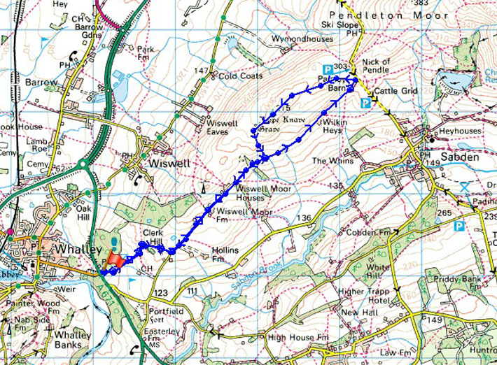
© Crown copyright. All rights reserved. License number PU 100034184.
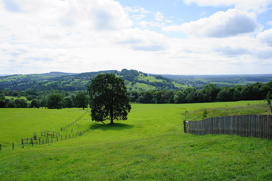
Spring Wood below and Whalley Nab
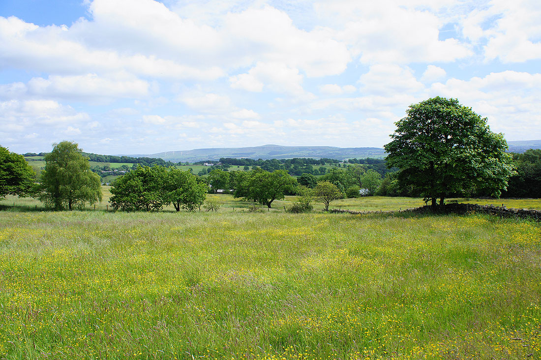
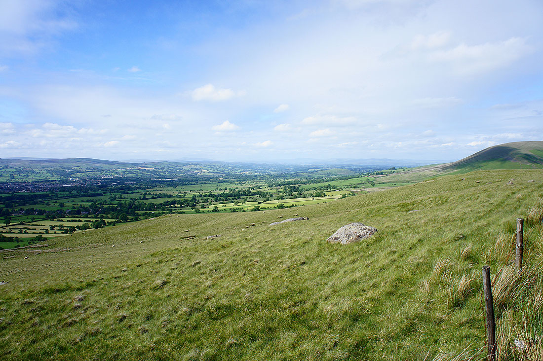
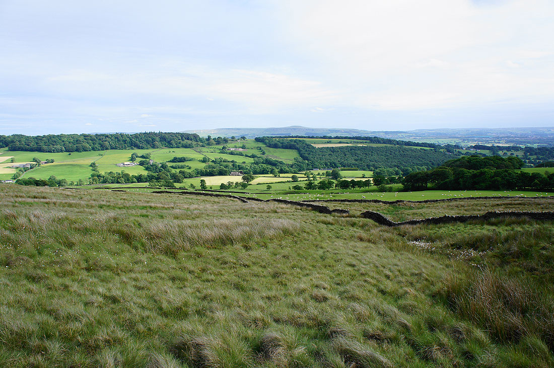
The hill of Great Hameldon in the distance and..
.. the West Pennine Moors
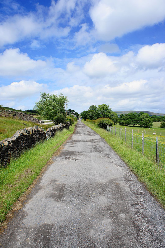
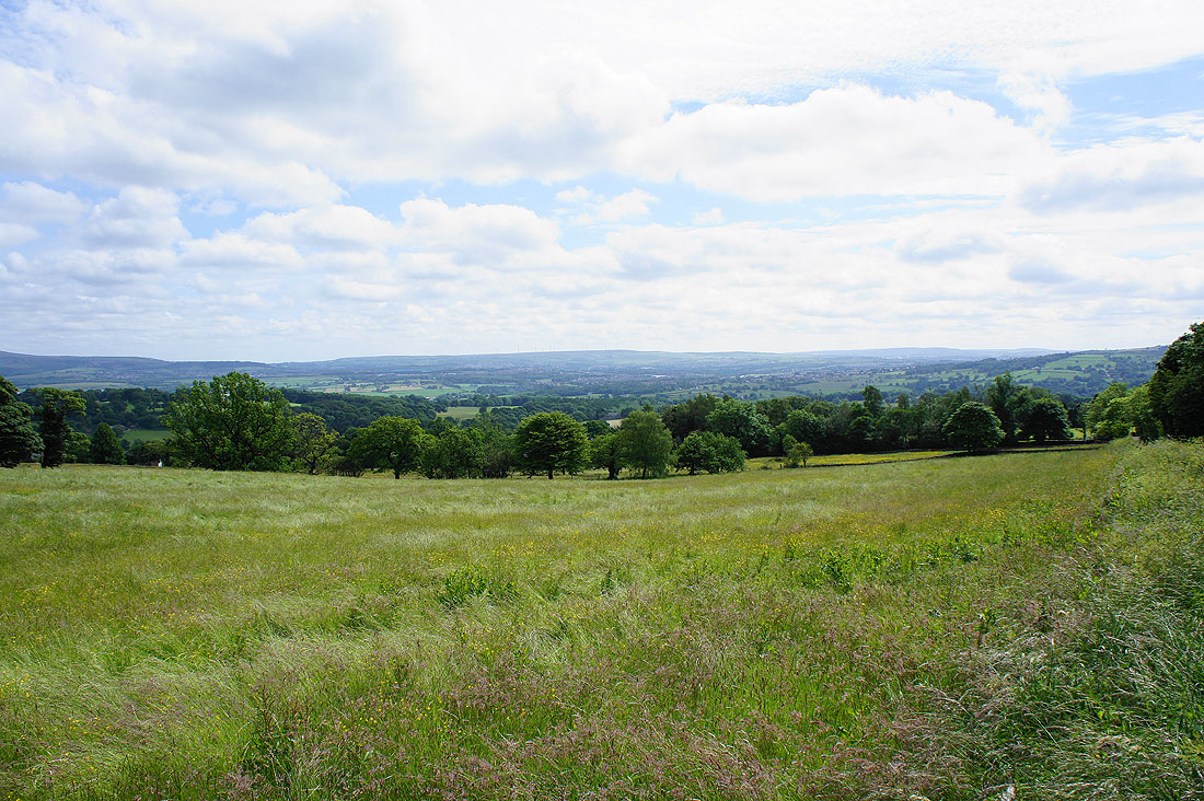
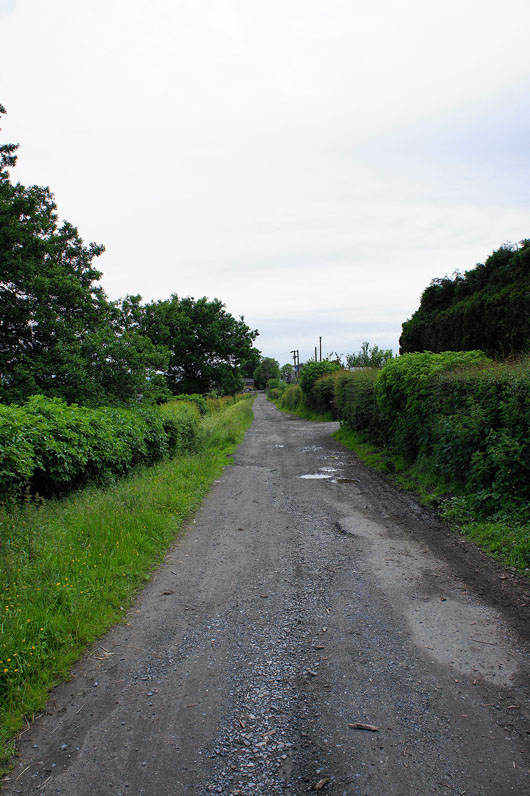
On the track and..
..path that will take me to the Nick of Pendle
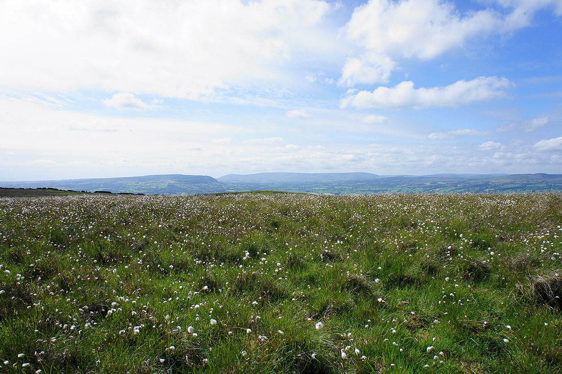
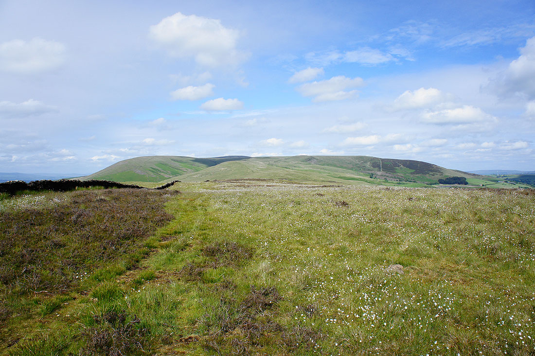
I left the path just before it reaches the Nick of Pendle to cross the moorland of The Rough. Plenty of cotton grass as I look across to Longridge Fell, Fair Snape Fell and Totridge in the Forest of Bowland.
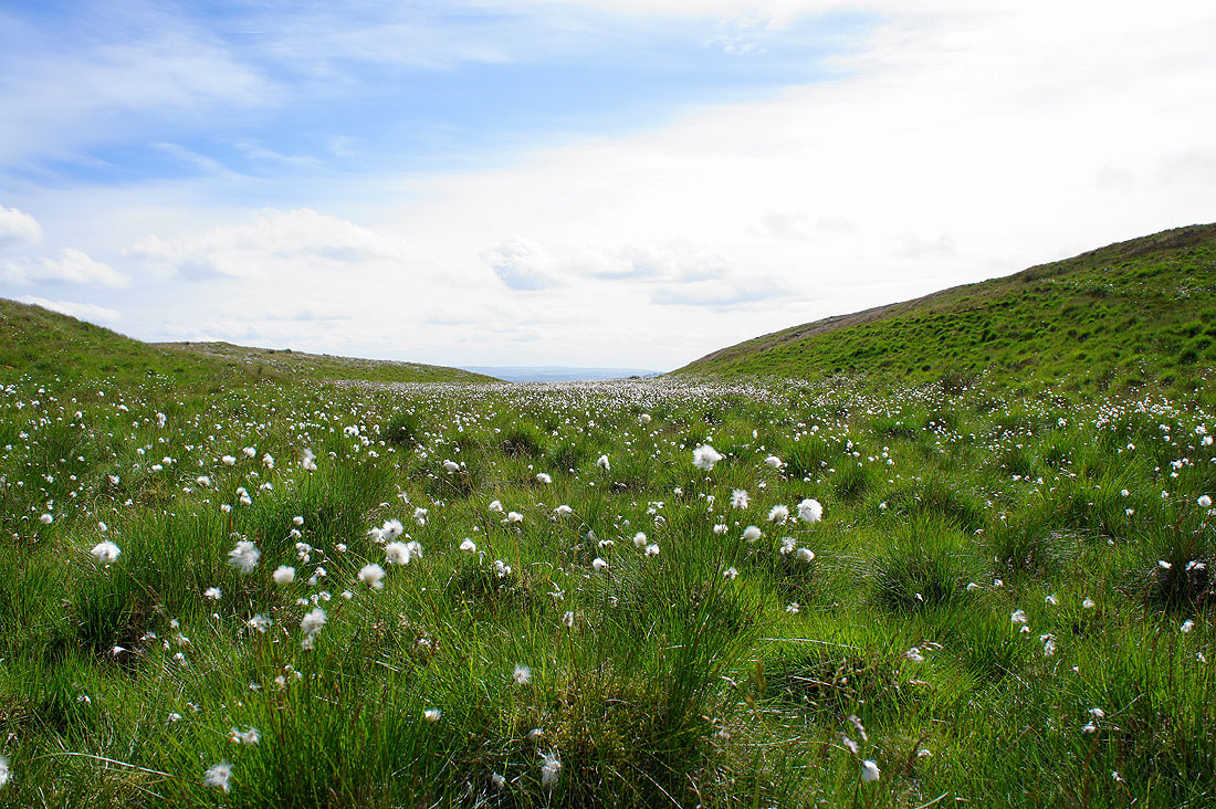
A sea of cotton grass
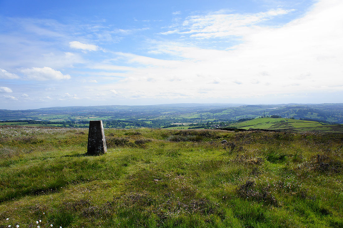
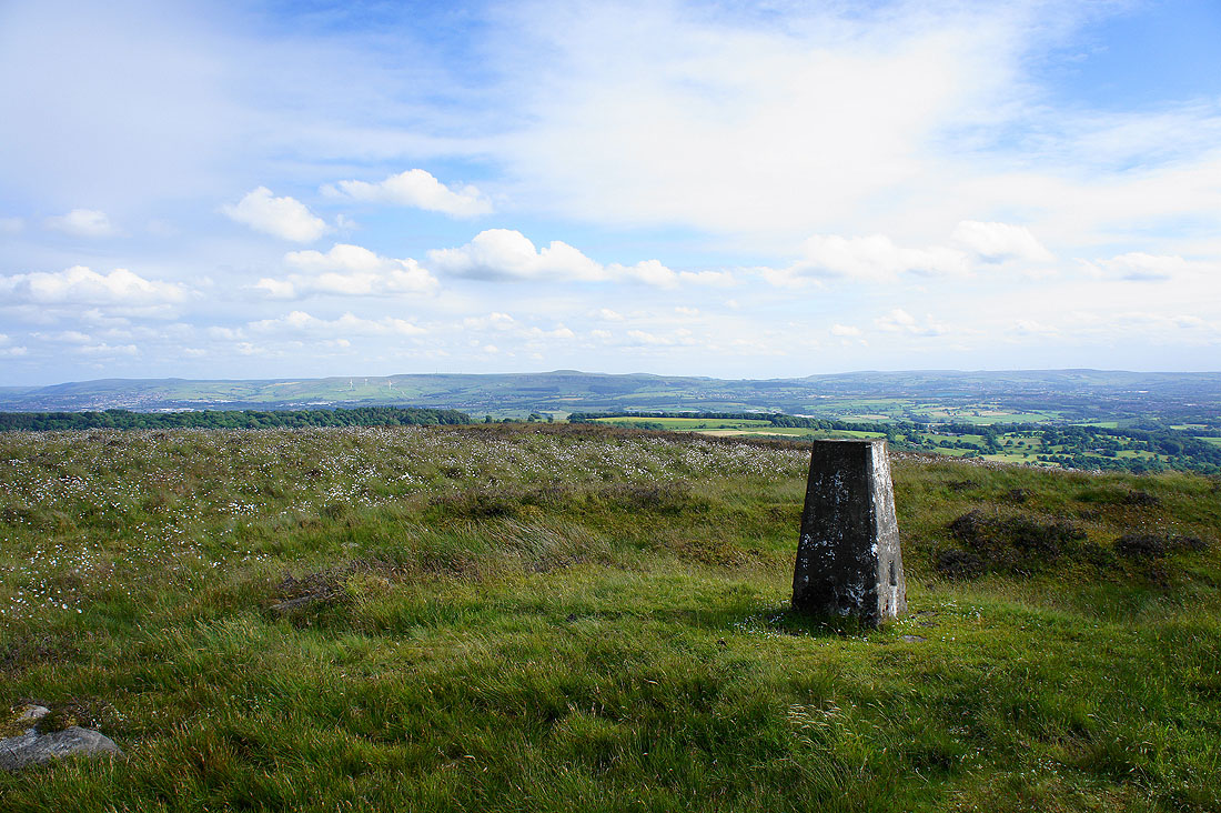
By the trig point that marks the high point of The Rough
The bulk of Pendle Hill
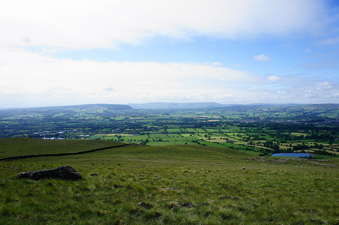
Across the Ribble Valley to Longridge Fell, Parlick, Fair Snape Fell and Totridge
Waddington Fell
and looking up the Ribble Valley. I could even make out Ingleborough and Penyghent.
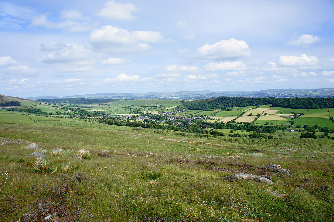
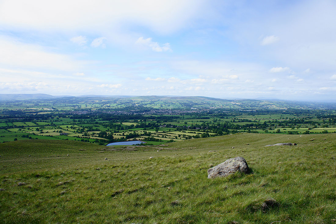
The village of Sabden below
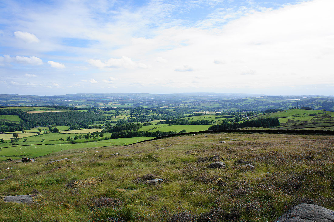
Looking across the Calder valley to the West Pennine Moors
Great Hameldon from The Rough
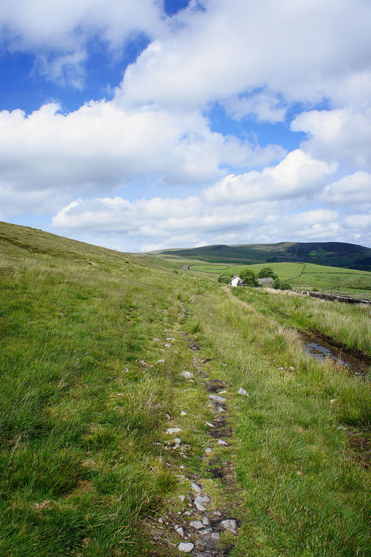
A pathless descent and..
..back on track for Spring Wood