29th June 2019 - Weets Hill
Walk Details
Distance walked: 8.3 miles
Total ascent: 1520 ft
OS map used: OL21 - South Pennines
Time taken: 4 hrs
Route description: Foulridge-Lark Hill-Whitemoor Road-Long Hill Farm-Sand Hall-Holly Bush Farm-Whitemoor Riding Centre-Standing Stone Lane-Gisburn Old Road-Weets House Farm-Weets Hill-Pendle Way-Folly Lane-Higher View Farm-Lister Well Road-Copy Nook-High Lane-Booth House Farm-Wood End Farm-County Brook Lane-County Brook Mill-Mill Hill Bridge-Leeds and Liverpool Canal-Foulridge
Although there's a mostly fine weekend forecast, tomorrow will be quite a contrast to today, which is all about heat, humidity and haziness. I had thought about doing a longer and more strenuous walk but I'm glad I decided against it and went for Weets Hill from home in Foulridge. More than enough effort was involved in doing the eight miles there and back. The route I followed was more or less the reverse of the one that I did soon after moving home in April, except for a few variations to explore different paths. I had sunny skies for the most part although some cloud did build up during the second half of the afternoon, which looked quite threatening, but nothing came from it.
Setting off from home I walked to the western end of Station Road and took the footpath straight up the hill and across fields to the corner of Whitemoor Road. I then briefly walked up the road and took the footpath on the left past Long Hill Farm and down to Sand Hall, where I turned right and followed the path uphill past Holly Bush Farm to the Whitemoor Riding Centre on Standing Stone Lane. Here I turned left and walked along the road to the sharp left bend where I took Gisburn Old Road on the right. I walked up this road all the way to its end at Weets House Farm, where after passing through the gate onto the Pennine Bridleway, I took the trail of the Pendle Way up to the summit of Weets Hill. Once I'd taken in the views I followed the Pendle Way downhill towards Barnoldswick to Folly Lane, where I left the trail and walked up the track to Higher View Farm. I then took a footpath on the right across access land to the track of Lister Well Road, which I followed south before leaving it for a footpath on the left down the moor past Copy Nook to High Lane. After a brief walk south along this road I reached a footpath on the left which I followed down a field to Booth House Farm, where I picked up a path south across fields past Heather Leigh and Wood End Farm down to the footbridge over County Brook. I crossed the bridge to County Brook Lane and then walked down the road to County Brook Mill where a footpath heads down to Mill Hill Bridge over the Leeds and Liverpool Canal. I was then left with a walk south along the towpath to Foulridge Wharf and then home.
Route map
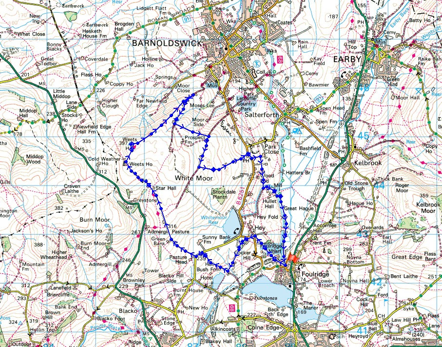
© Crown copyright. All rights reserved. License number PU 100034184.
It's a hot and sunny afternoon as I leave Foulridge behind..
Following the path up to Lark Hill
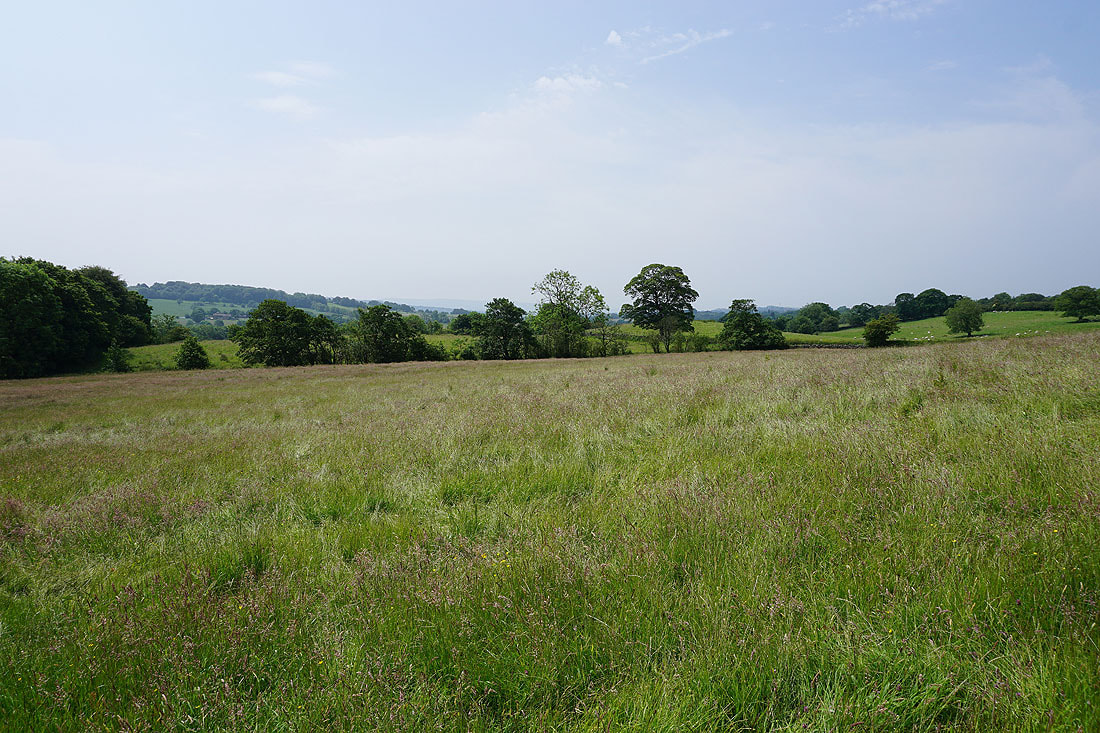
It definitely looks and feels like summer today..
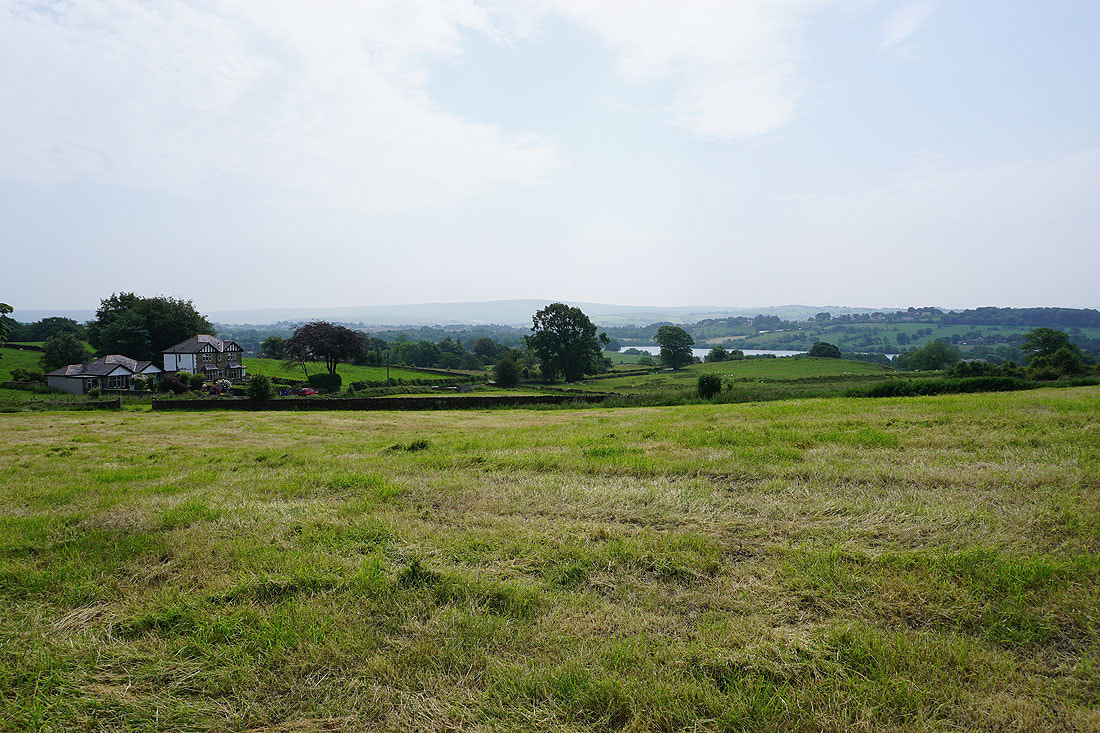
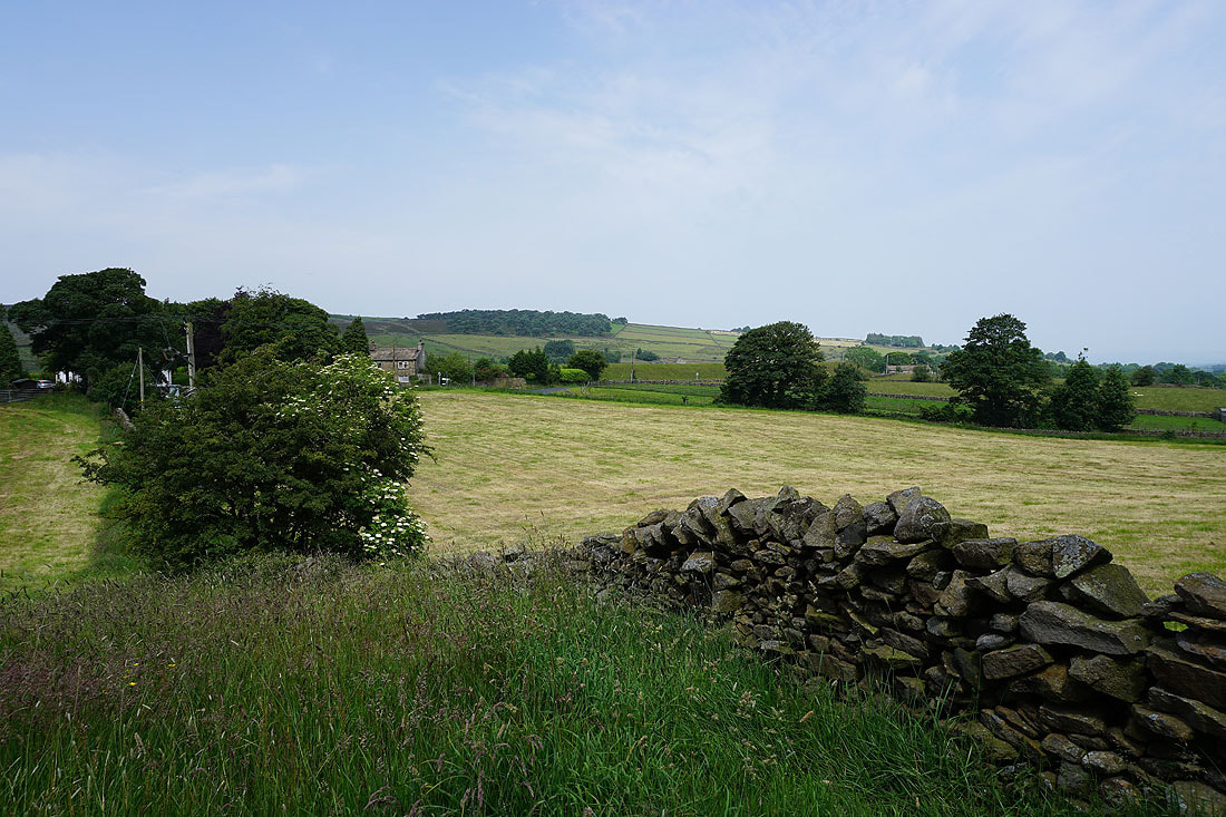
White Moor from Long Hill Farm
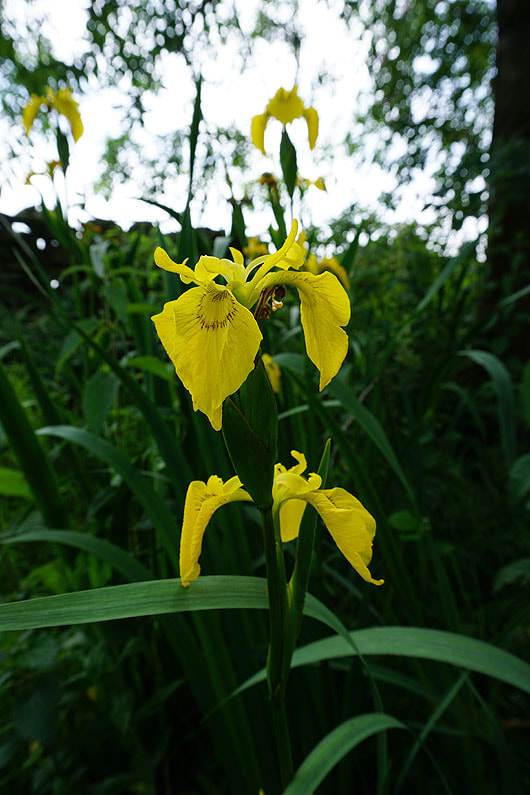
Flag Iris
|
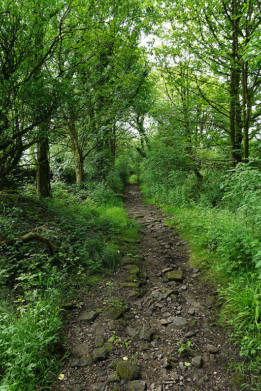
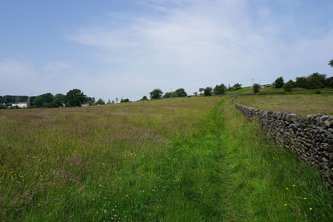
The enclosed path down to Sand Hall was damp and greasy underfoot
|
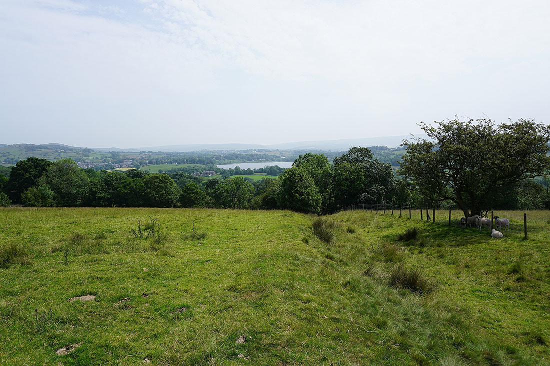
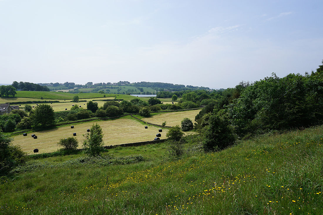
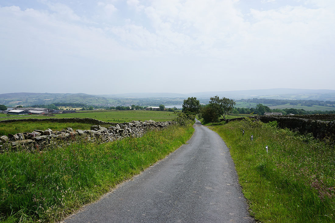
Looking back to Foulridge Lower Reservoir from the path up to Whitemoor Riding Centre
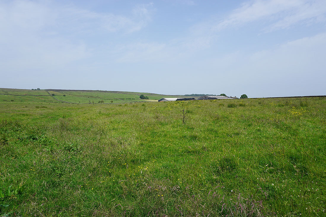
White Moor above Sunny Bank Farm from Gisburn Old Road
and Noyna Hill, Ickornshaw Moor, Foulridge Lower Reservoir and Boulsworth Hill
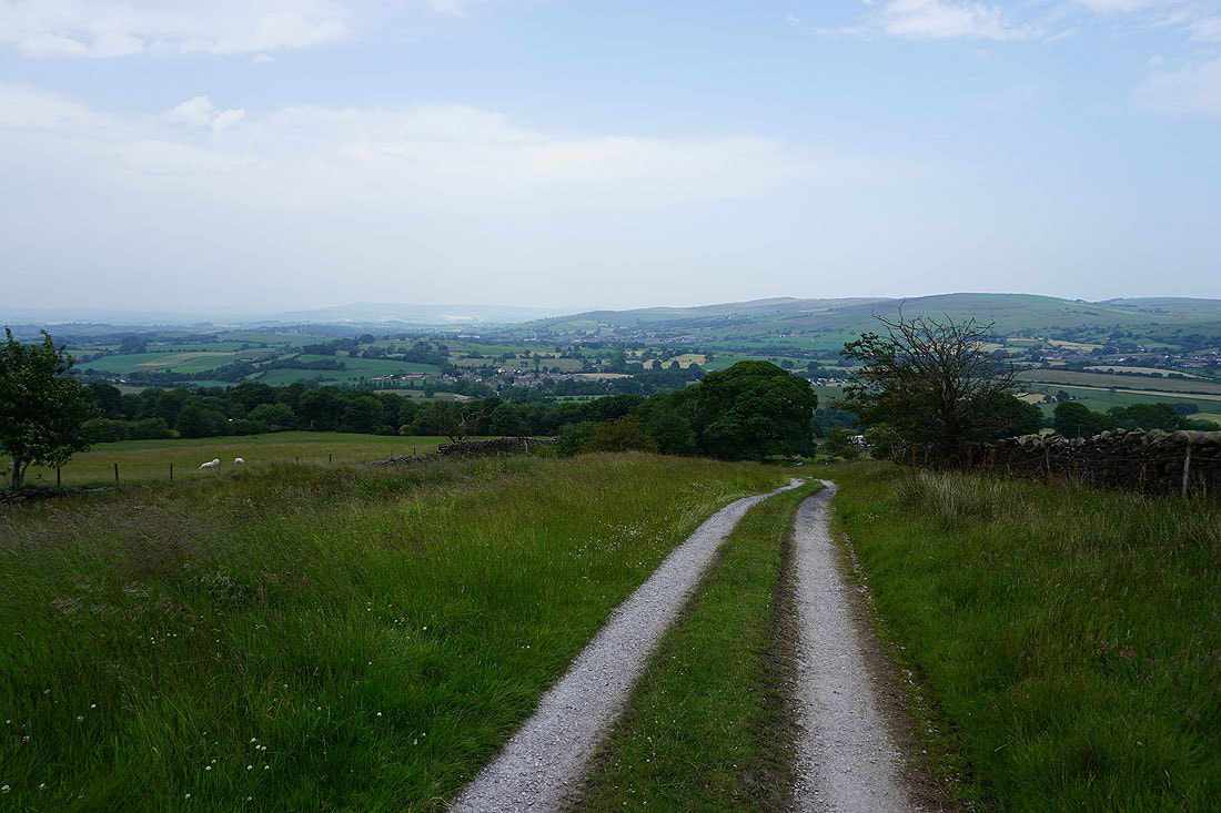
It may not be that steep but it's warm work in this heat
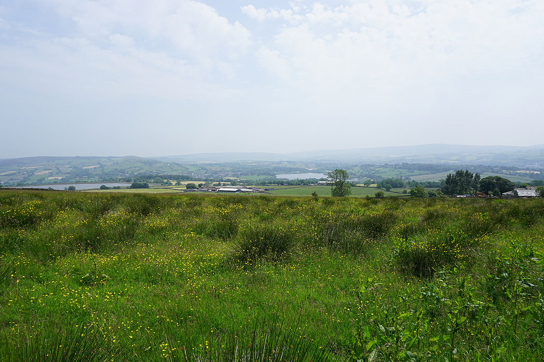
Whitemoor Reservoir, Kelbrook Moor, Noyna Hill, Ickornshaw Moor, Foulridge Lower Reservoir and Boulsworth Hill from higher up the road
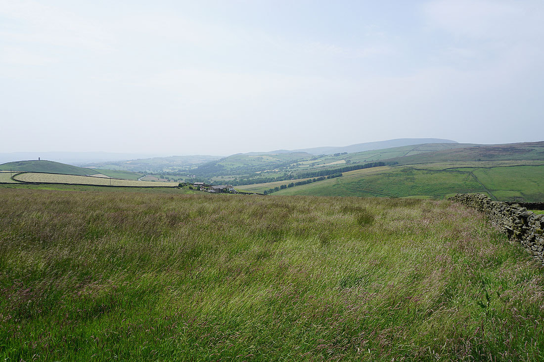
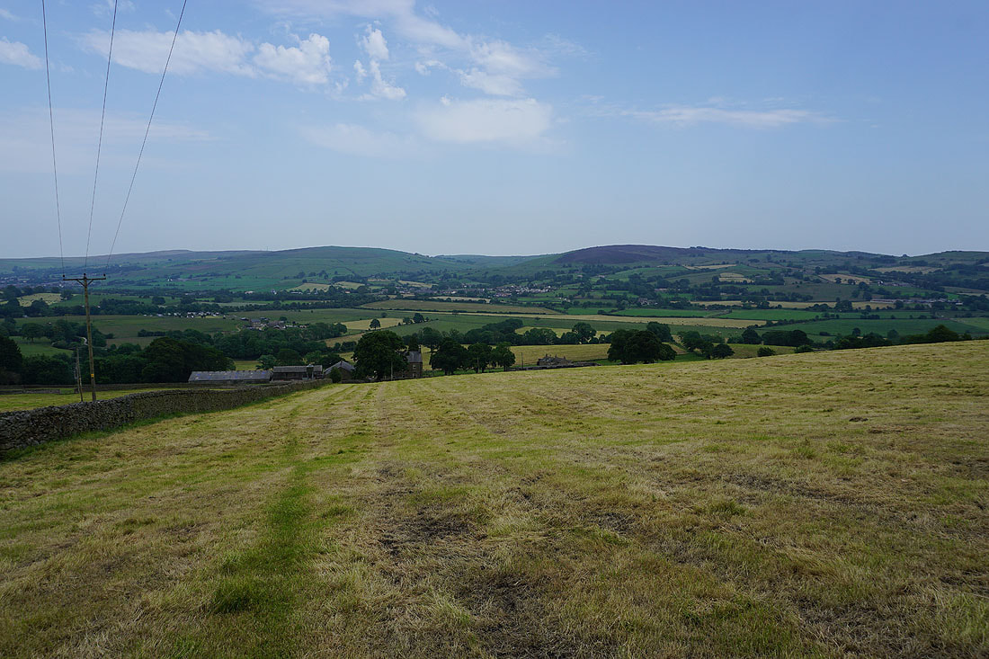
and now I can see across to Blacko Hill with Stansfield Tower on its top, Stang Top Moor and Pendle Hill
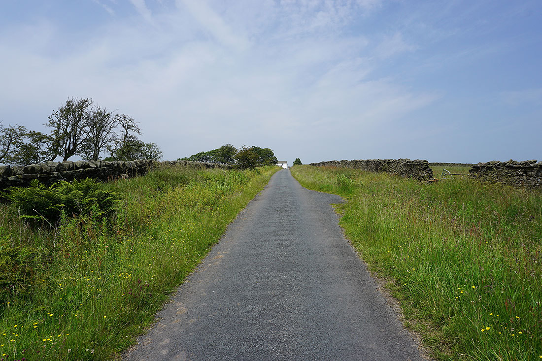
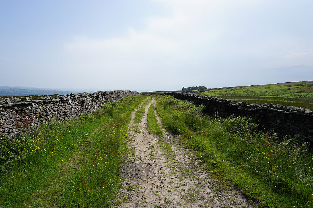
Walking up Gisburn Old Road to Weets House Farm
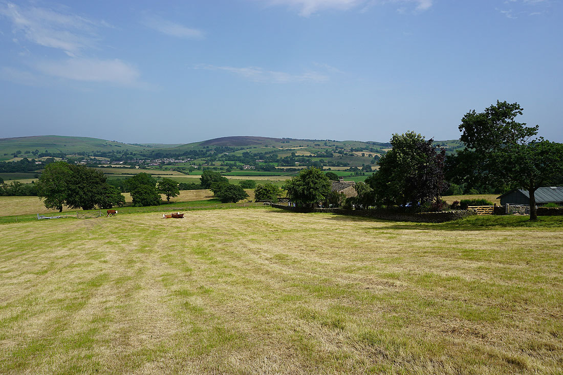
Blacko Hill above the valley of Admergill Water
A hazy Boulsworth Hill in the distance as I near the top of Gisburn Old Road
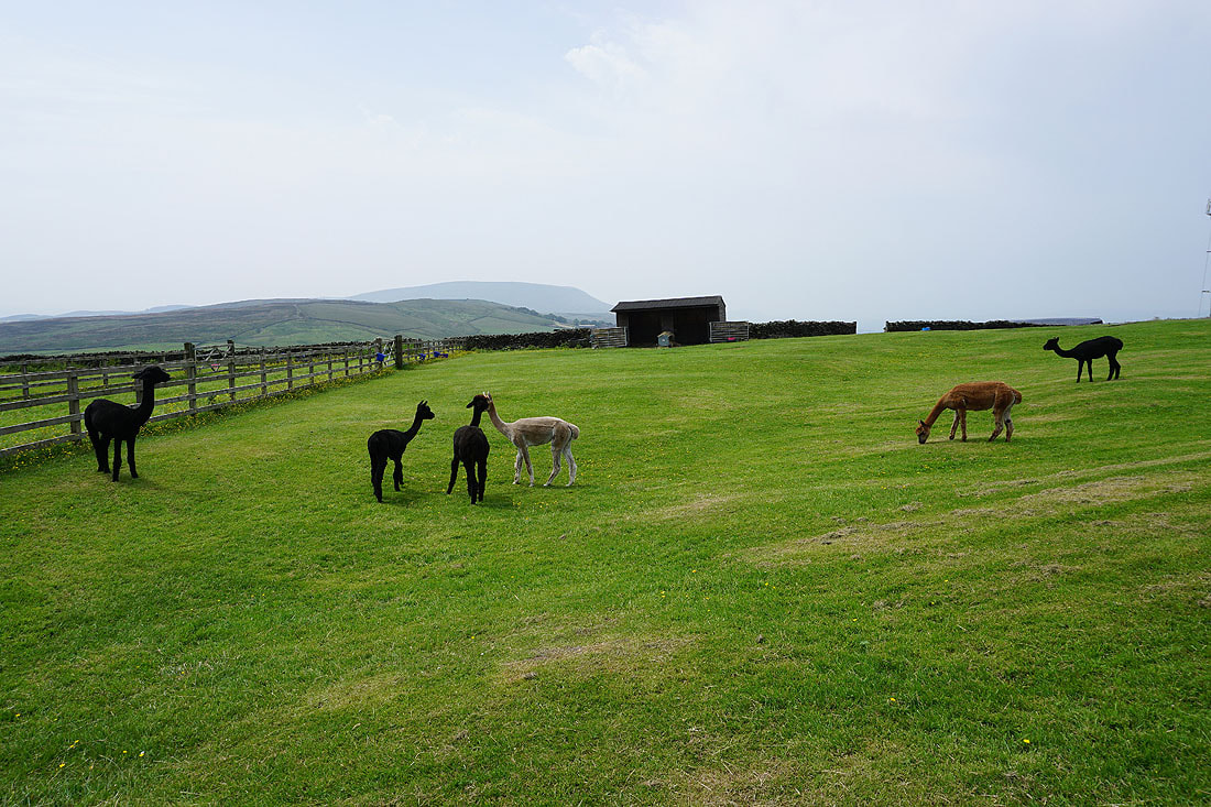
The alpacas at Weets House Farm have had a haircut
Blacko Hill and Weets House Farm as I head for the top of Weets Hill
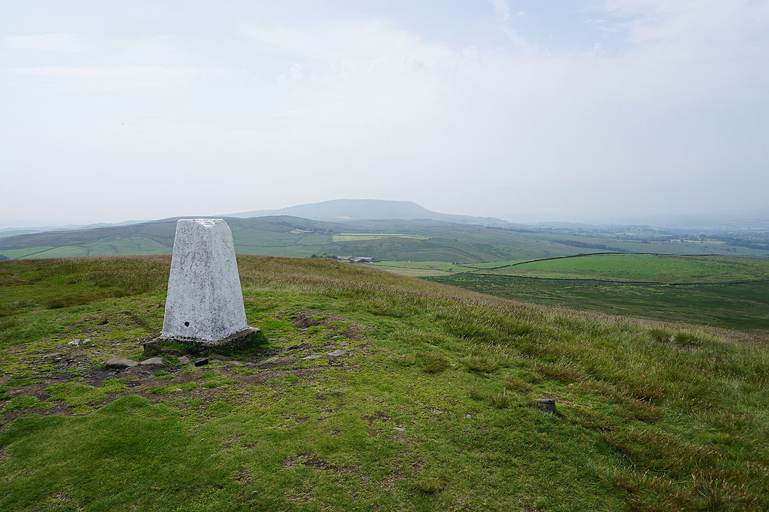
Pendle Hill from Weets Hill
Pendle Hill, the Ribble Valley and the Forest of Bowland just visible through the haze
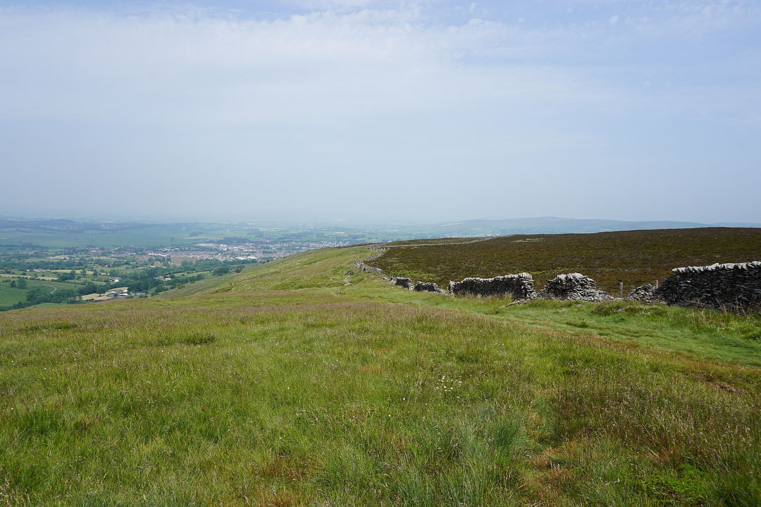
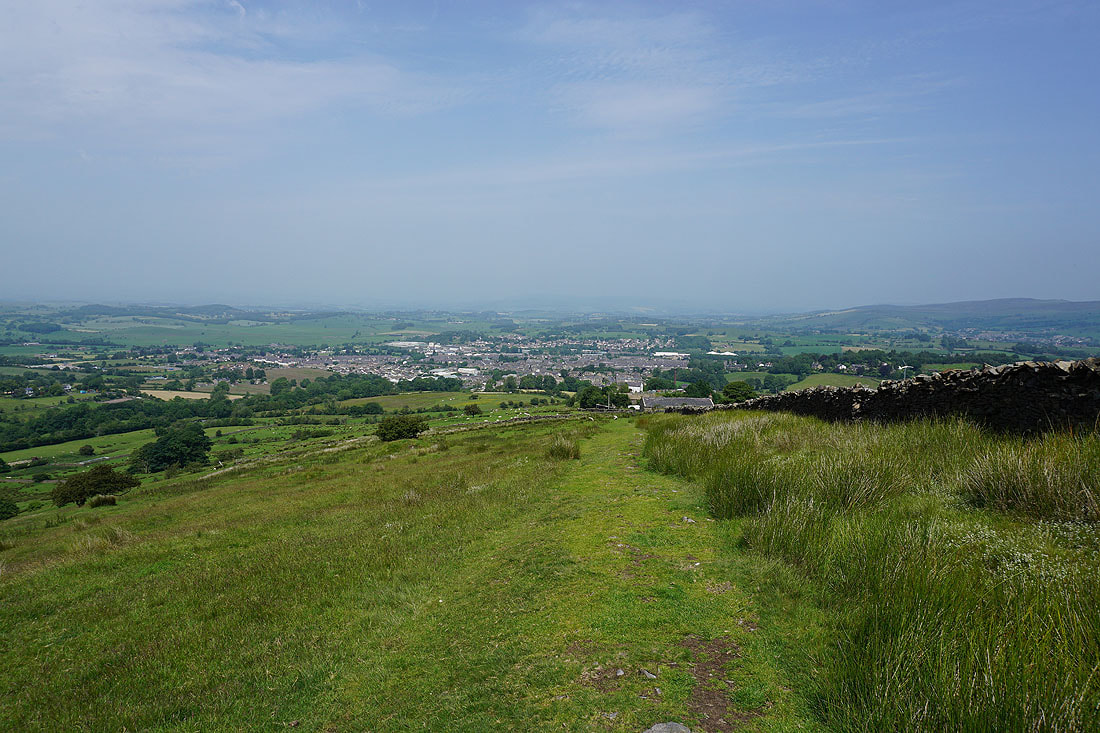
Looking towards Barnoldswick
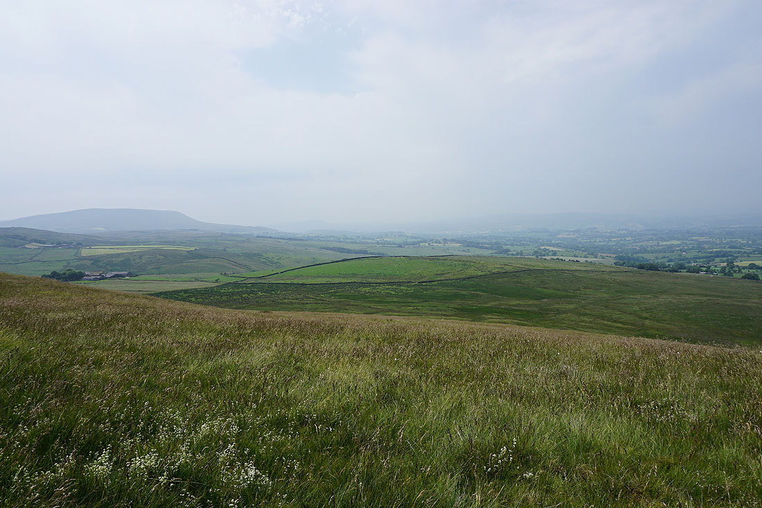
Hot and hazy looking north across the Ribble Valley. I can't make out the hills of the Yorkshire Dales.
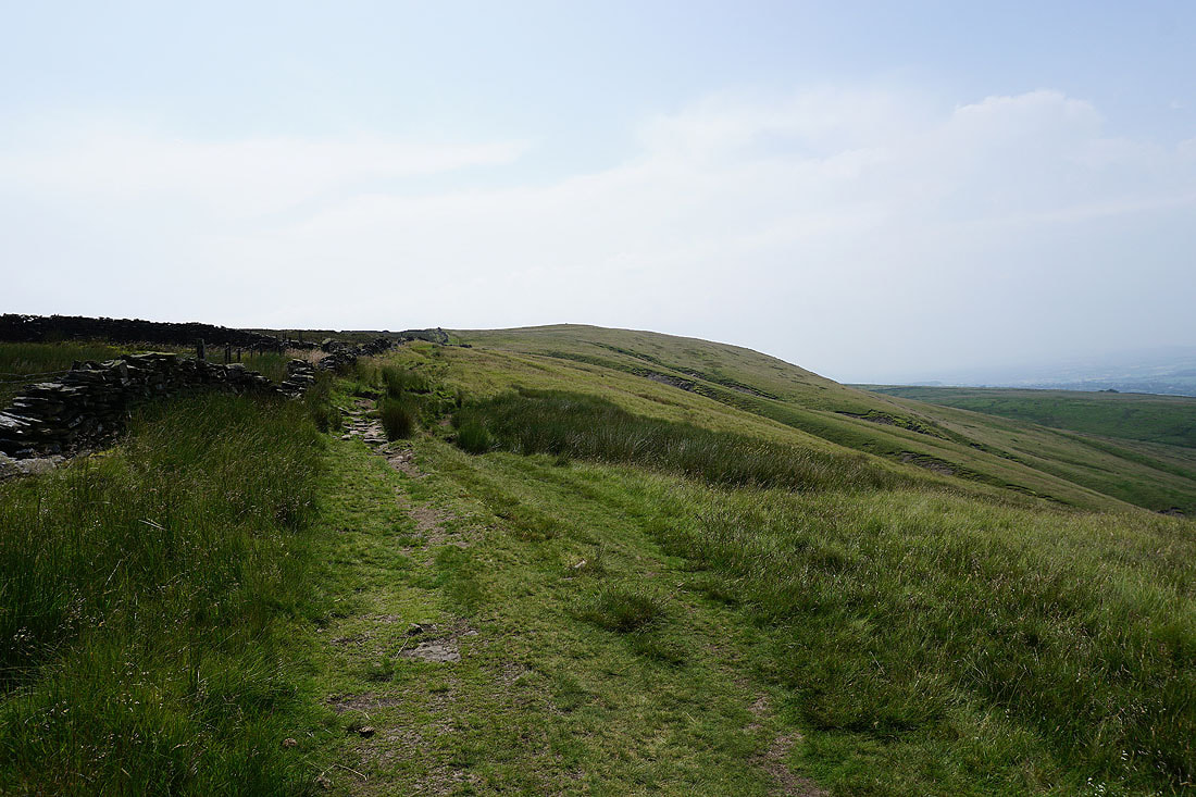
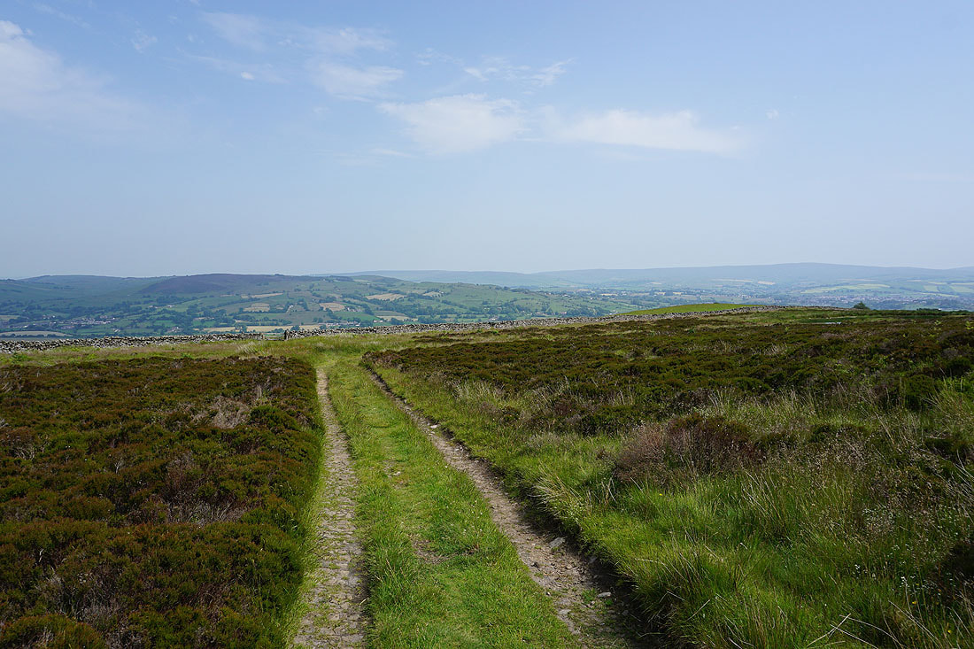
Looking back to the summit of Weets Hill as I head down on the Pendle Way
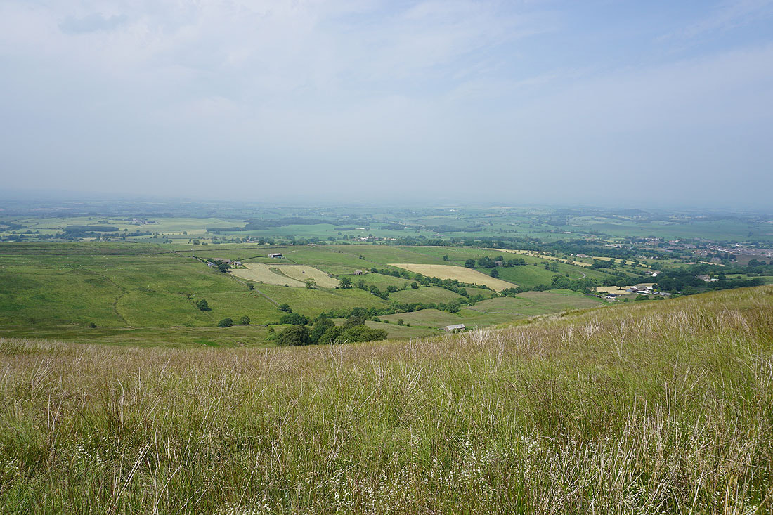
Summer pastures around Bracewell and Barnoldswick
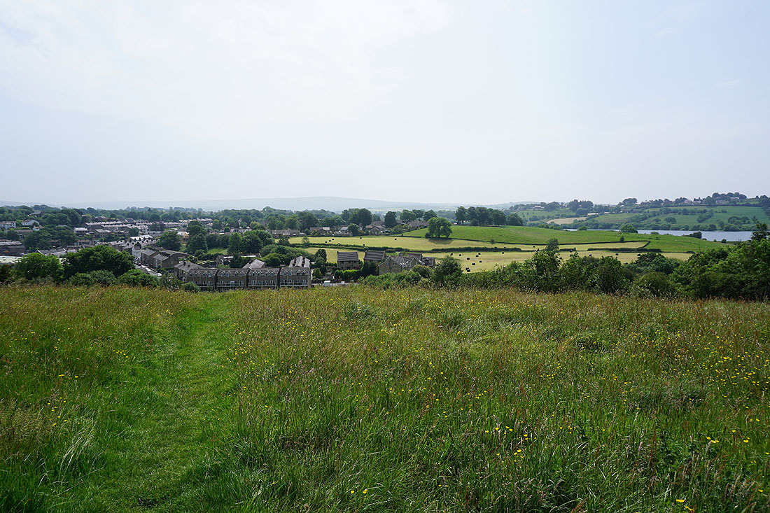
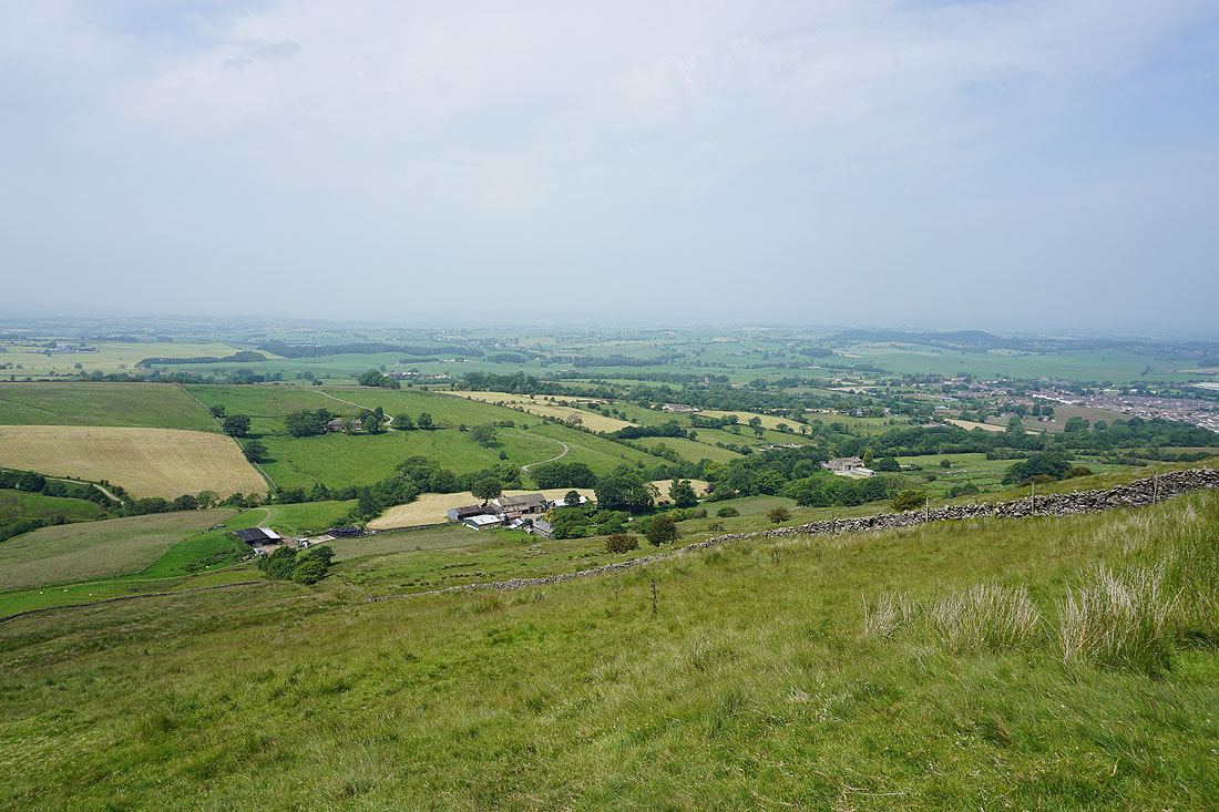
Barnoldswick below
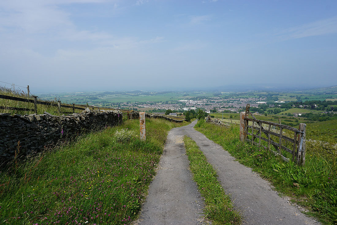
and again, from Folly Lane, as I follow it up to Higher View Farm
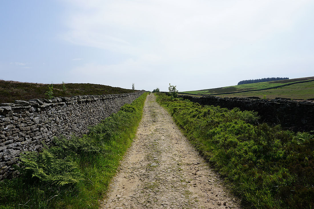
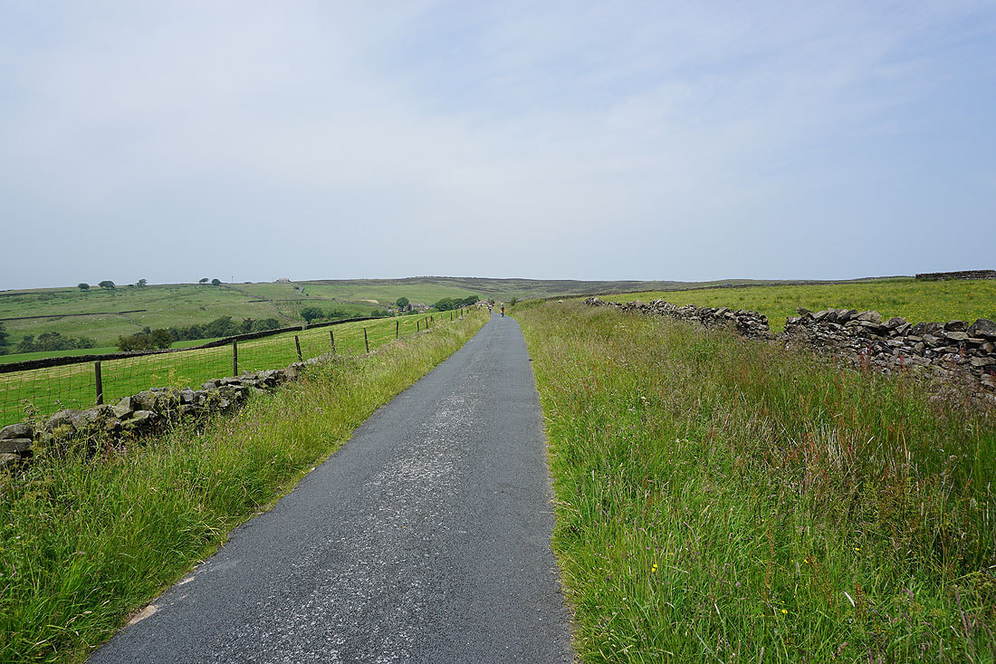
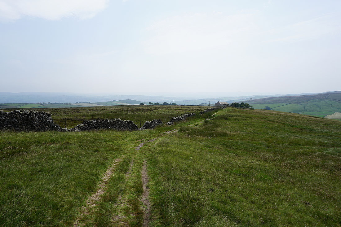
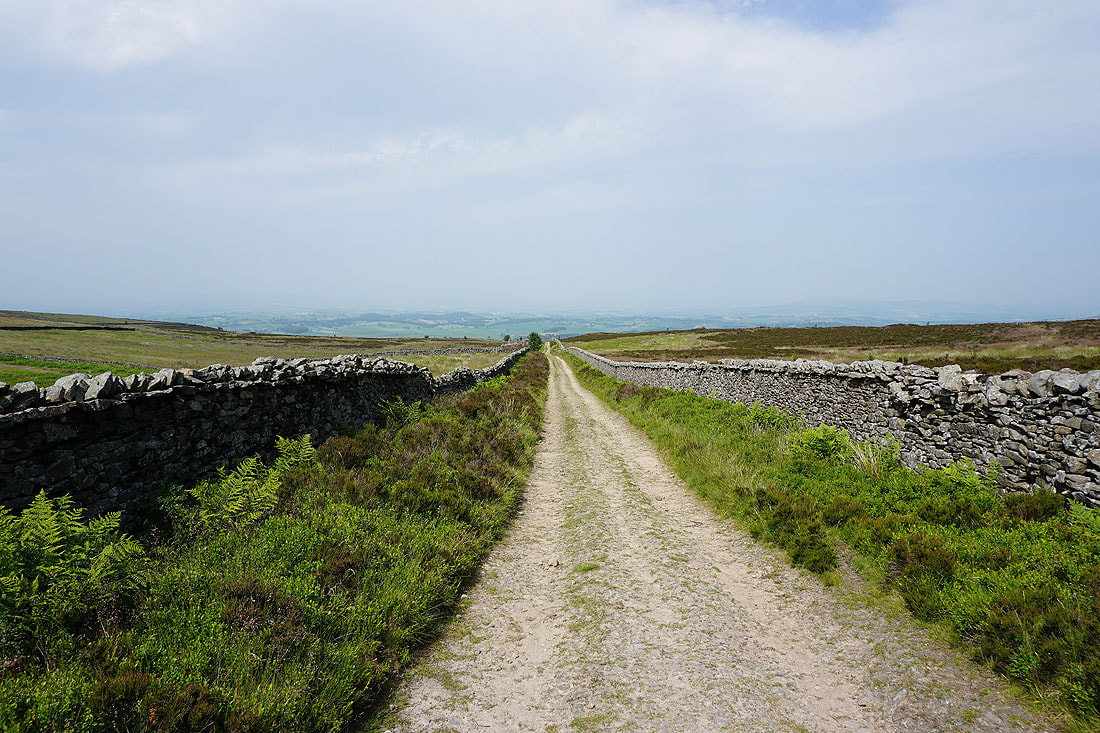
After crossing the moor from Folly Lane, on the bridleway of Lister Wells Road...
Kelbrook Moor, Ickornshaw Moor and Boulsworth Hill from the footpath down to Copy Nook
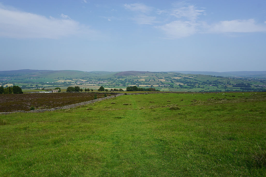
Pinhaw Beacon, Bleara Moor and Kelbrook Moor
Approaching Copy Nook and the sun has disappeared from where I am. There are dark clouds behind me but not heading my way, fortunately.
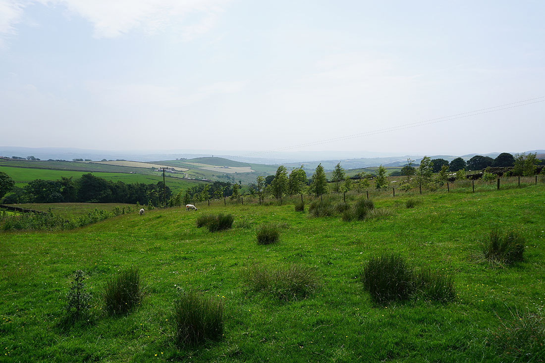
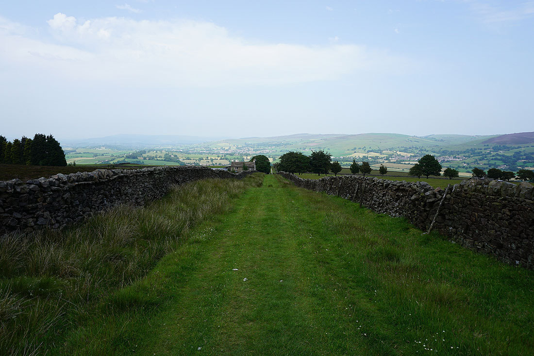
Barden Moor in the distance on the left, Pinhaw Beacon and Bleara Moor as I head down to High Lane above Salterforth
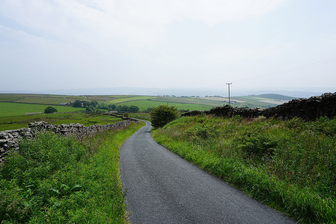
Bleara Moor and Kelbrook Moor as I follow footpaths south back to Foulridge
Just a few minutes later and the sun has returned. What a contrast!
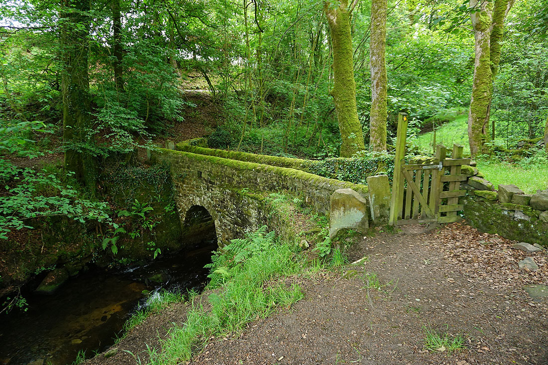
Across County Brook..
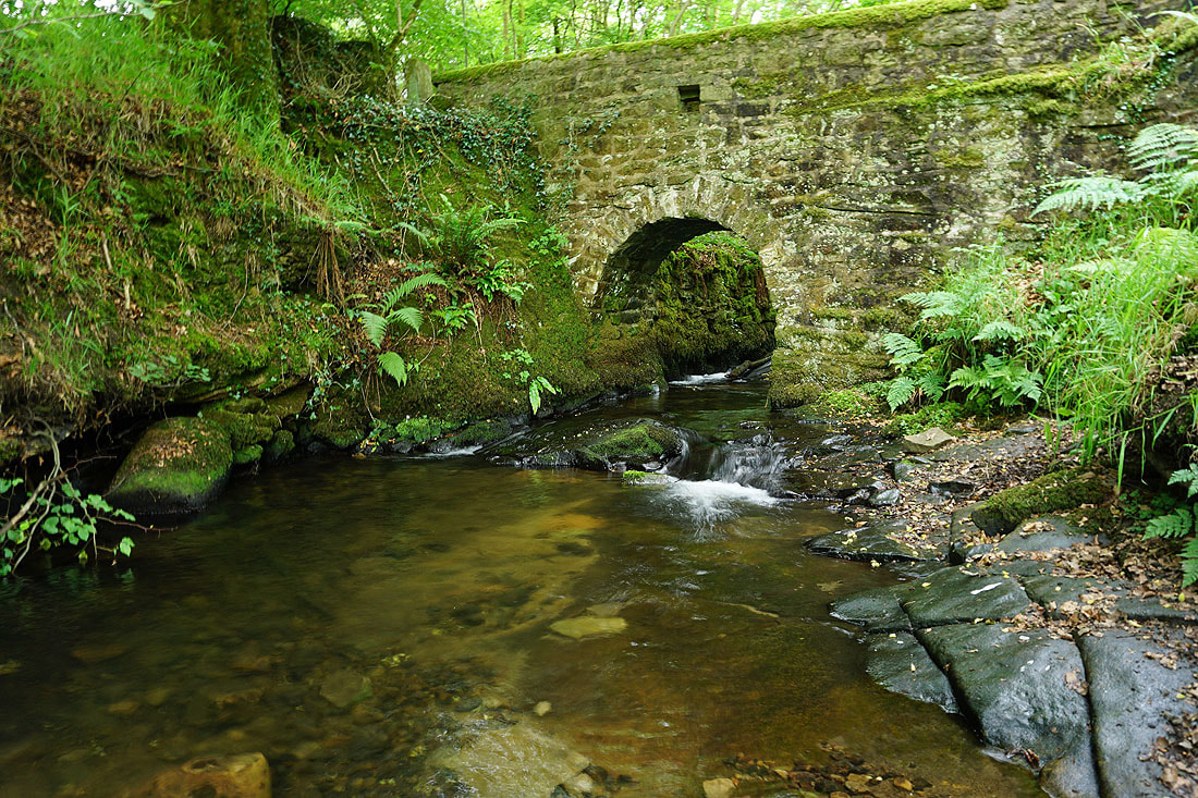
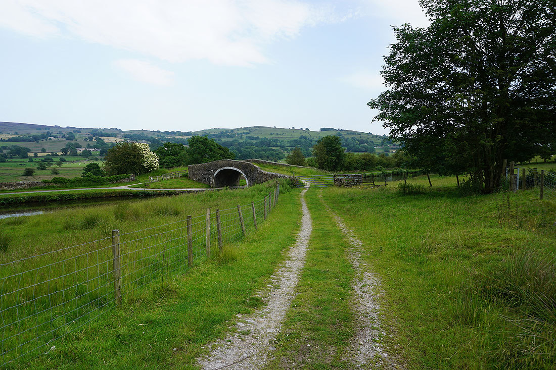
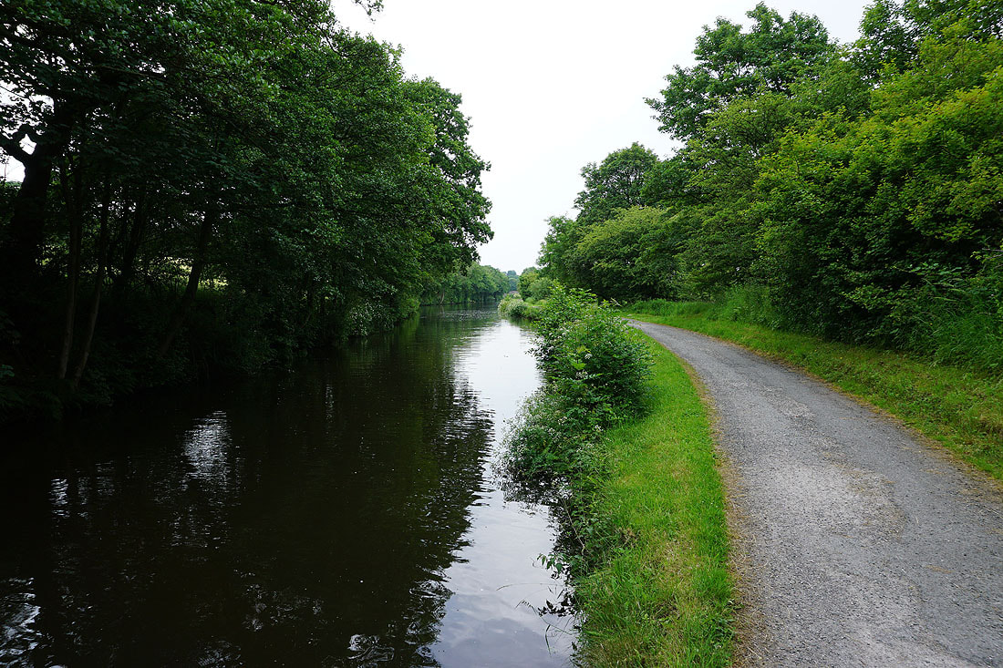
Past County Brook Mill and down to Mill Hill Bridge over the Leeds and Liverpool Canal
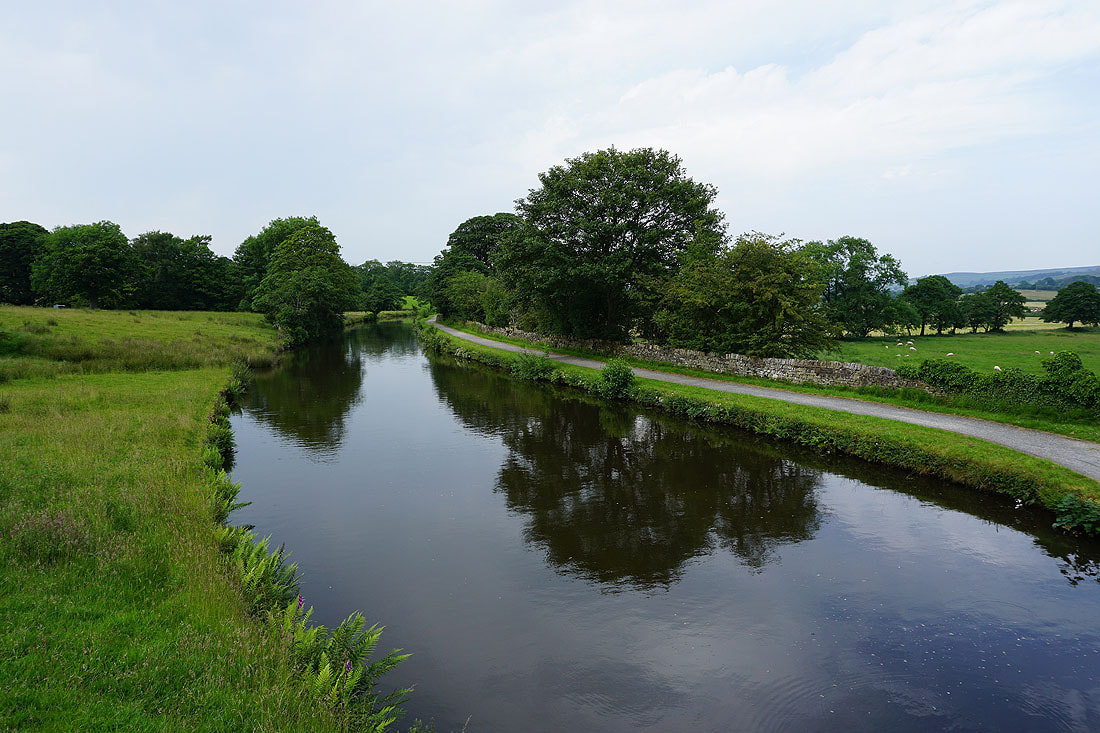
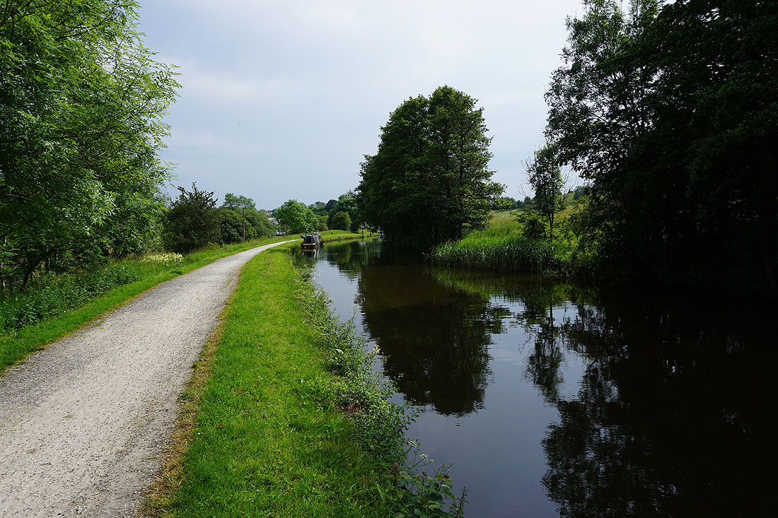
The towpath by the canal will take me back home to Foulridge...