29th March 2009 - The Howgills
Walk Details
Distance walked: 8.4 miles
Total ascent: 2910 ft
OS map used: OL19 - Howgill Fells & Upper Eden Valley
Time taken: 6 hrs
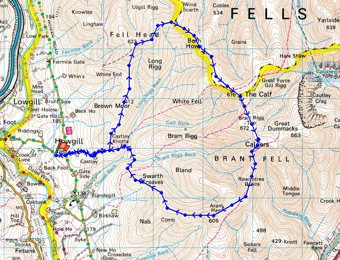
Route description: Four Lane Ends-Cookson's Tenement-Castley-Castley Knotts-Brown Moor-Fell Head-Breaks Head-Bush Howe-The Calf-Calders-Rowantree Grains-Arant Haw-Nab-Seat Knott-Swarth Greaves-Chapel Beck-Castley-Cookson's Tenement-Four Lane Ends
A great walk across the tops of the central plateau of the Howgills.
I started this walk by parking on the grass verge of the lane that heads from Four Lane Ends down to the Crook of Lune Bridge. I then took the bridleway past Castley to open access land to climb to the top of Castley Knotts. I then walked across Brown Moor before I made the steep ascent of Fell Head. It was then a stroll across the tops of Breaks Head and Bush Howe to arrive at the high point of the Howgills, The Calf. I then walked across to the summit of Calders before descending Rowantree Grains and then upto the summit of Arant Haw. My route of descent was down Nab and Seat Knott to Chapel Beck. I forded the beck and joined the bridleway back to Four Lane Ends.
Route map
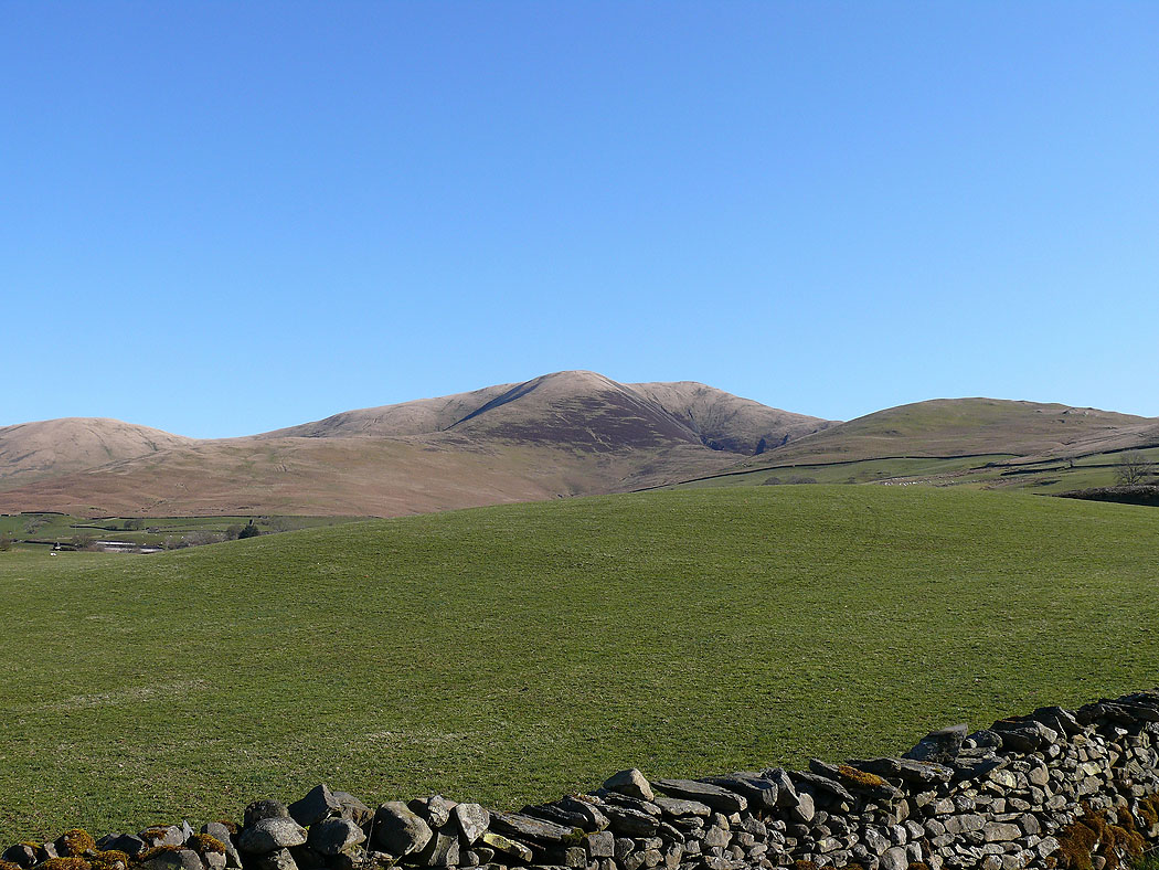
Fell Head from Four Lane Ends
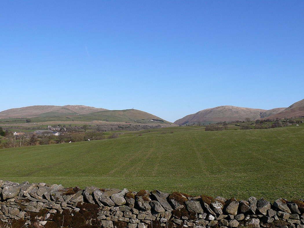
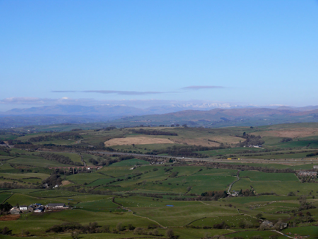
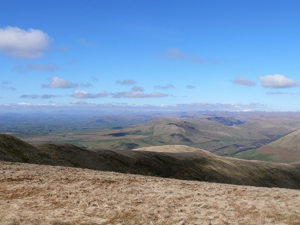
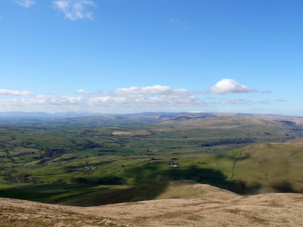
The view across to the Lune Gorge
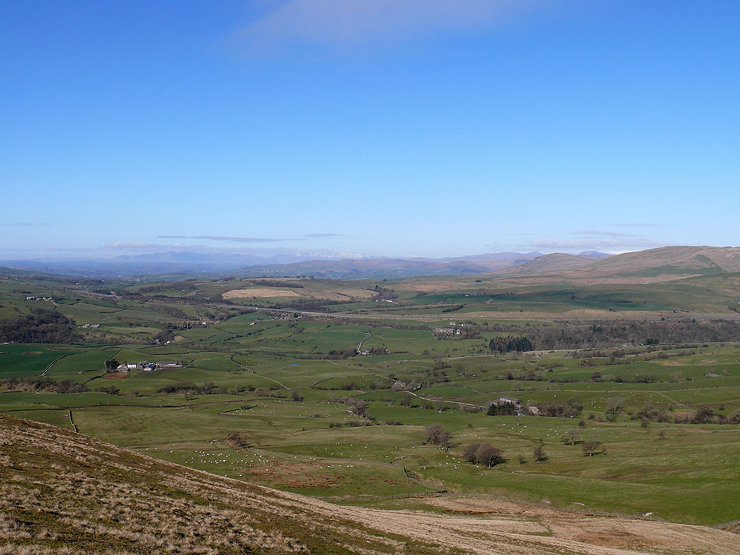
The Lake District fells in the distance from Castley Knotts
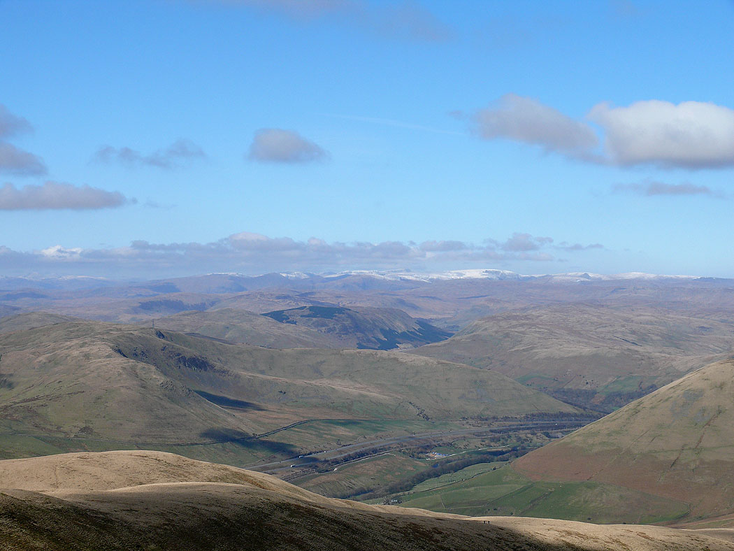
Zooming in and the fells on the right with snow on are the Crinkle Crags, Bowfell, the Scafells and Great Gable
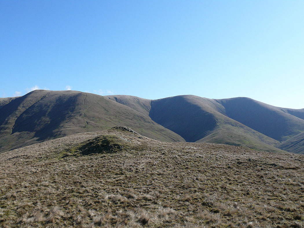
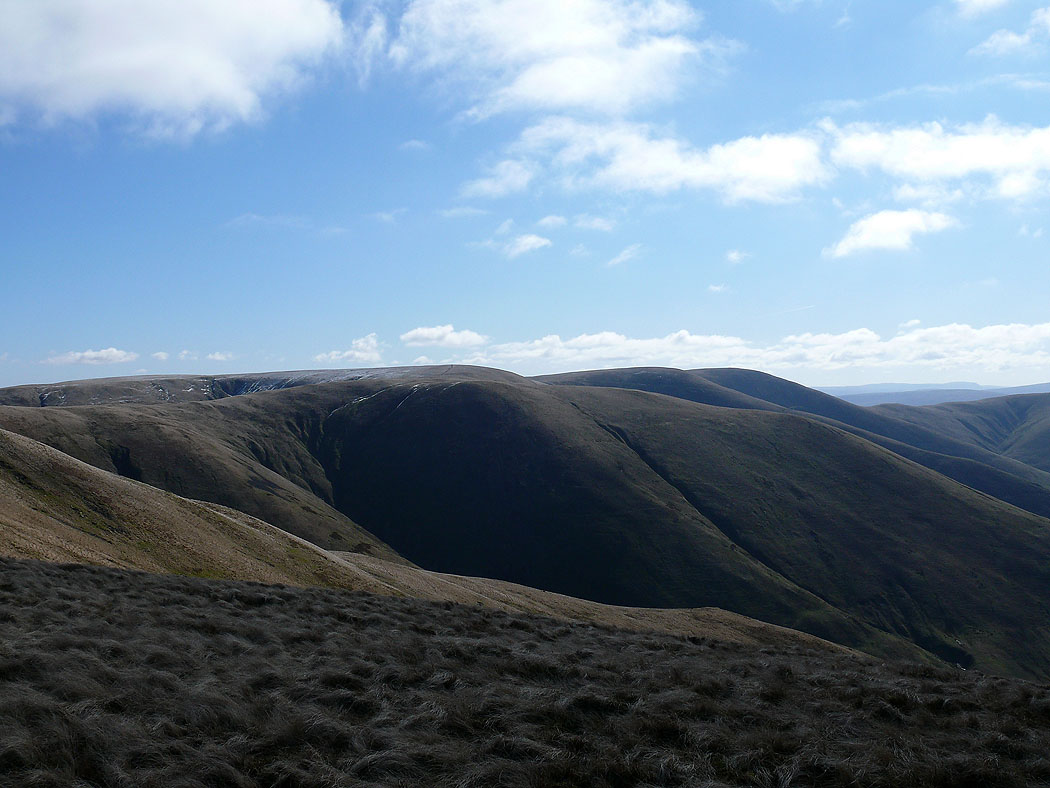
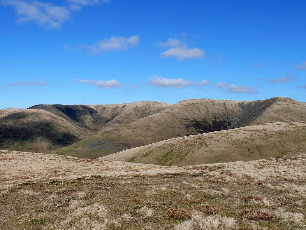
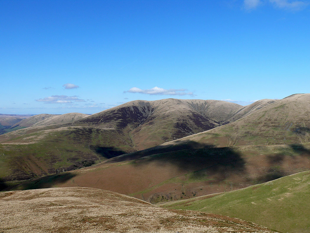
White Fell Head, The Calf, Bram Rigg Top and Calders from Castley Knotts
On the summit of Fell Head and the view across to the Lake District fells. The fell on the right with plenty of snow is High Street.
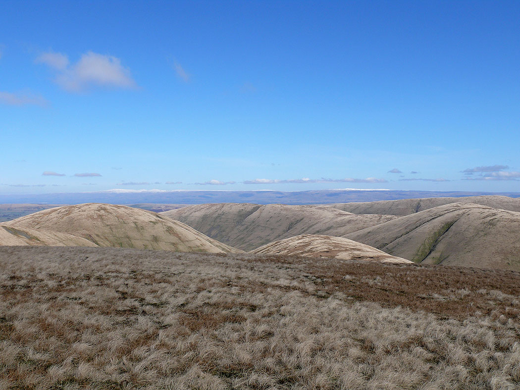
Cross Fell and the North Pennines in the distance
The Calf from Fell Head
Arant Haw
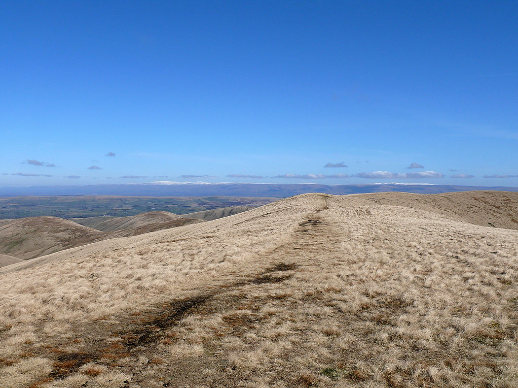
Heading for Breaks Head
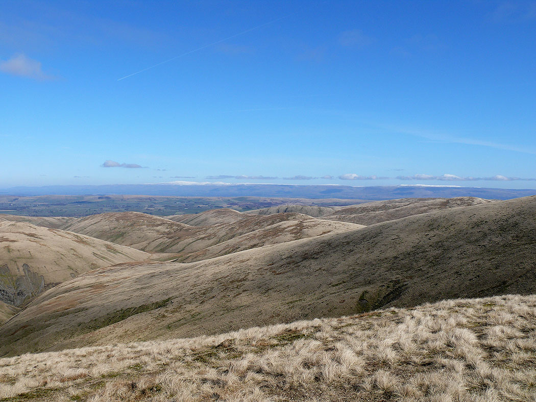
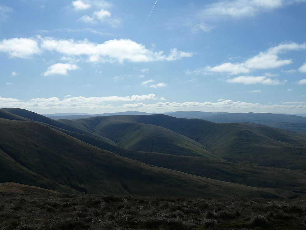
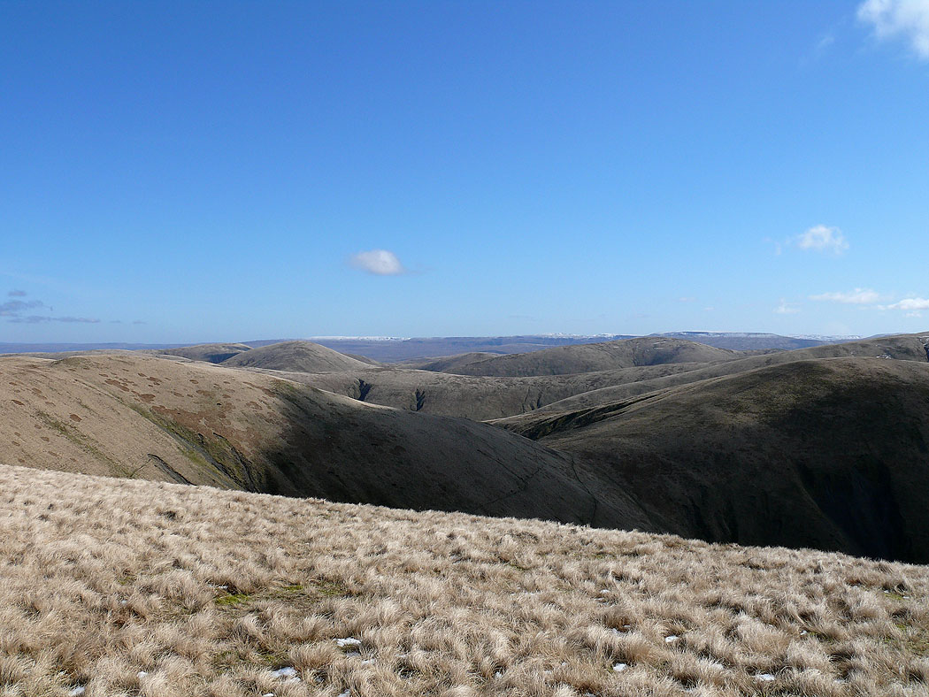
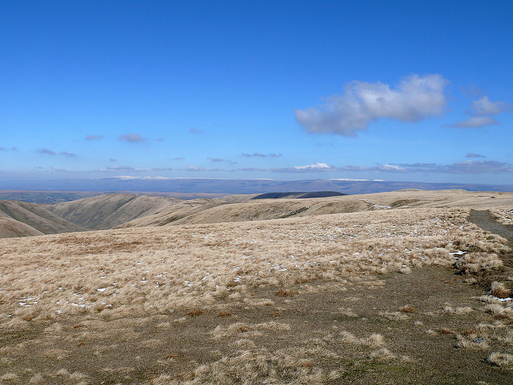
The fells above Mallerstang across the northern Howgills
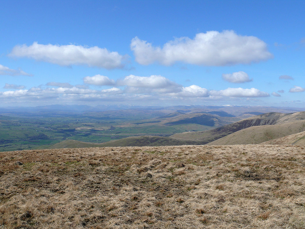
Lake District fells in the distance from Breaks Head
Zooming in on the High Street range
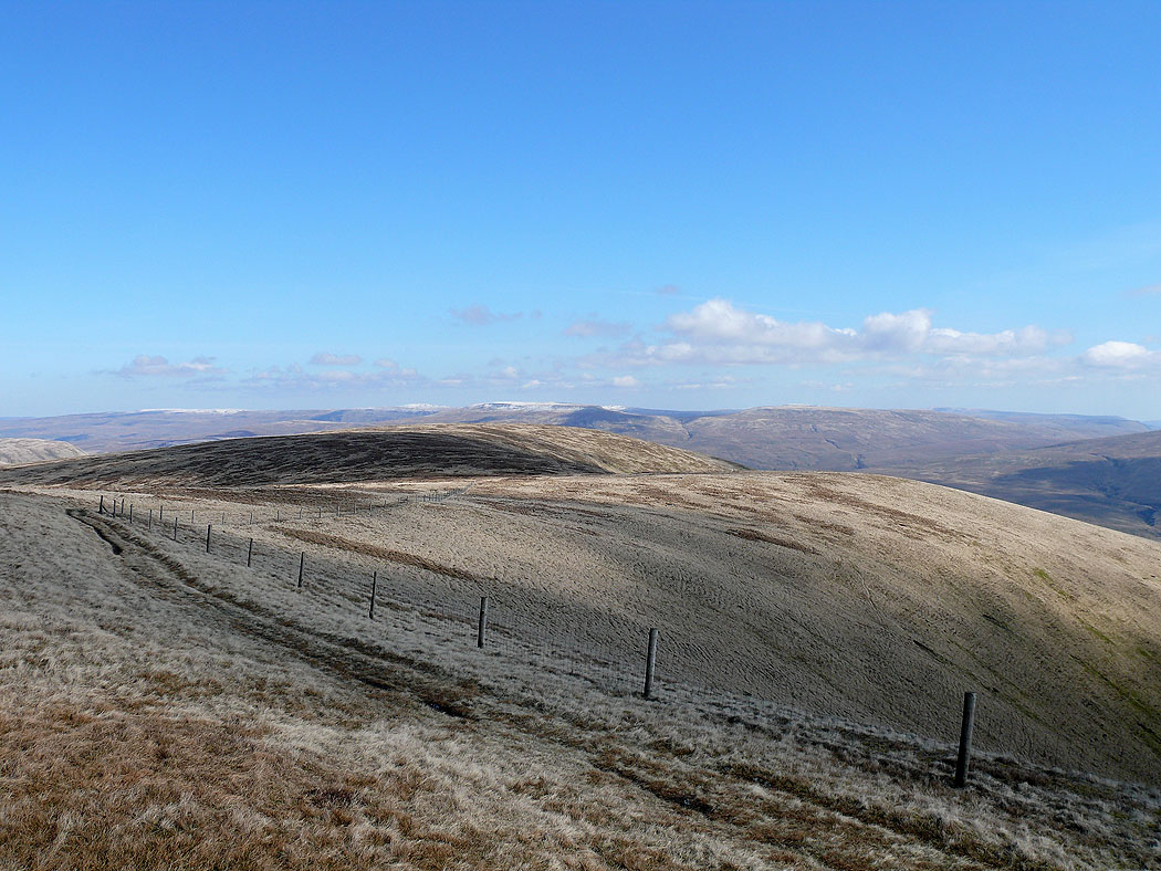
The North Pennines in the distance from Bush Howe
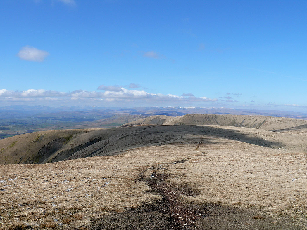
The Lake District in the distance from the high point of the walk, The Calf
Cross Fell and the North Pennines from The Calf
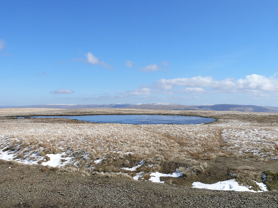
High Seat and Wild Boar Fell above Mallerstang across a frozen summit tarn
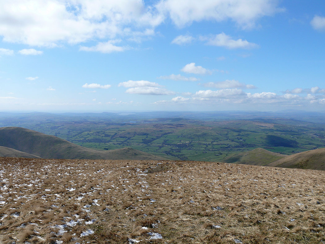
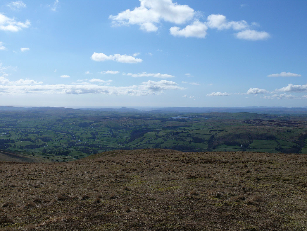
Morecambe Bay in the distance
On the next summit of the day, Calders with Yorkshire's three peaks, Penyghent, Whernside and Ingleborough in the distance
Wild Boar Fell from Calders
Lakeland fells in the distance
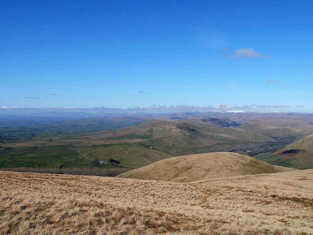
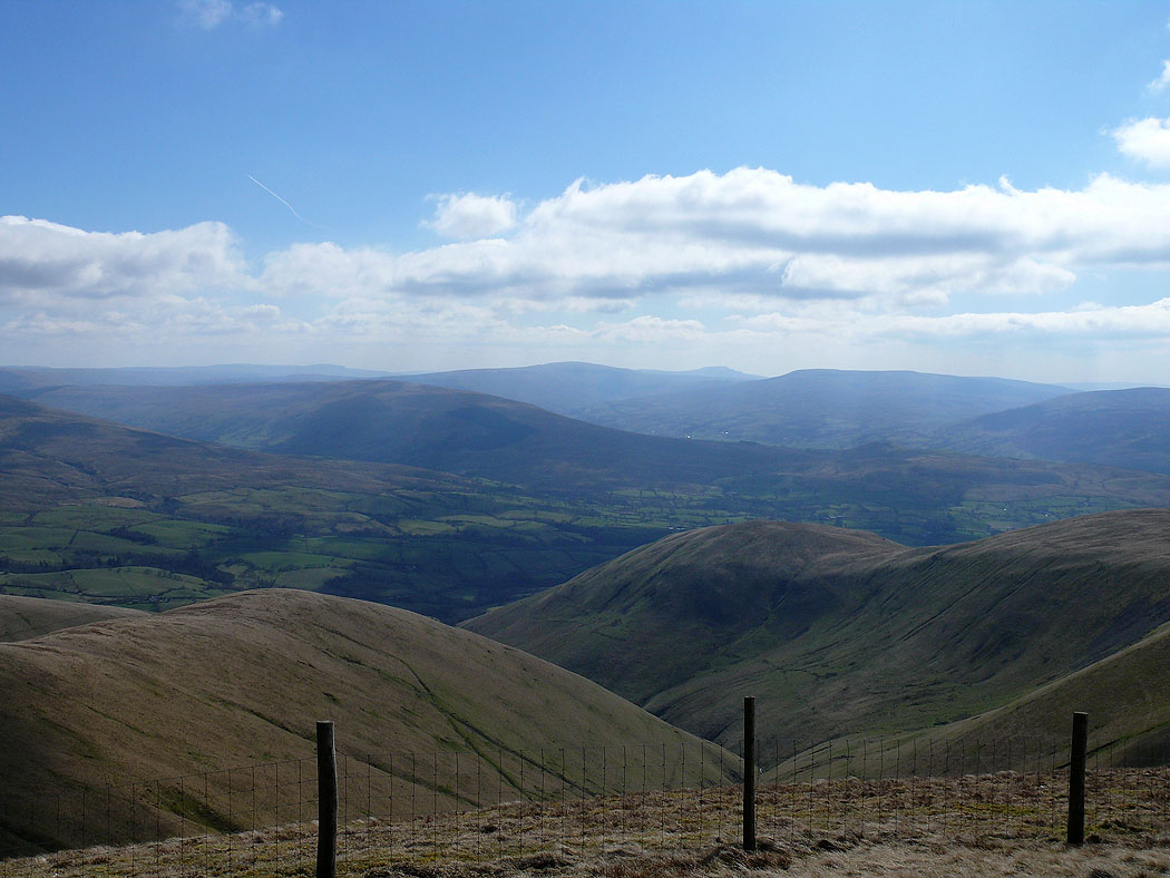
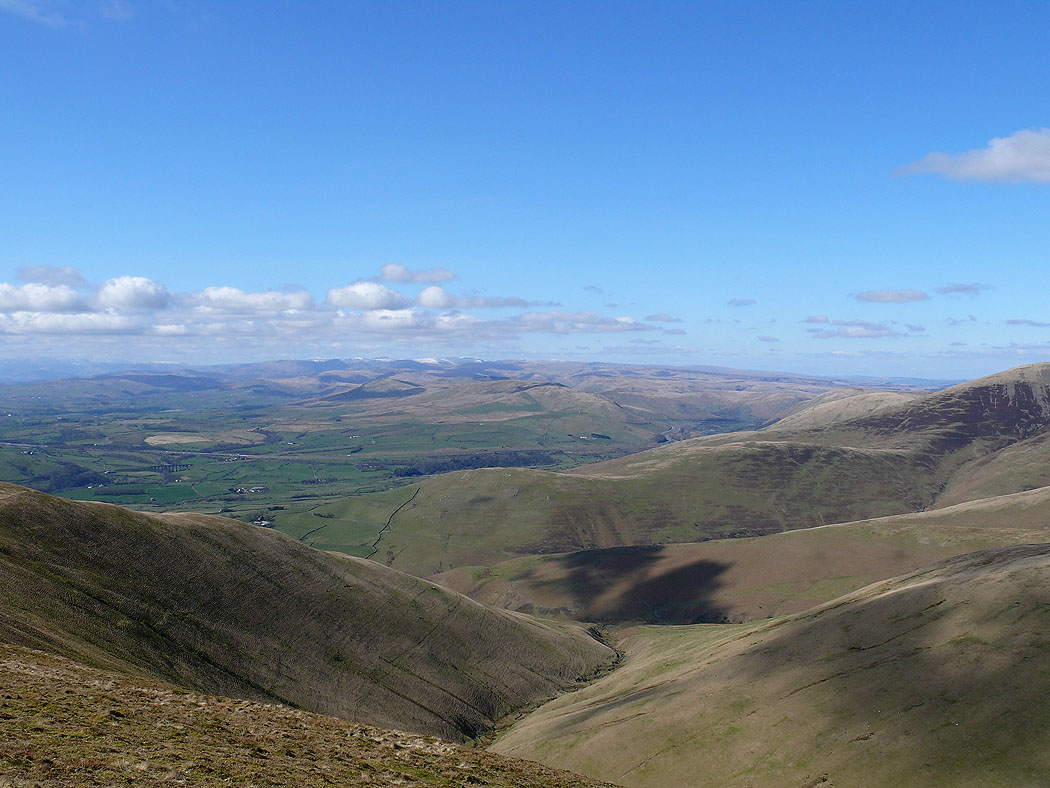
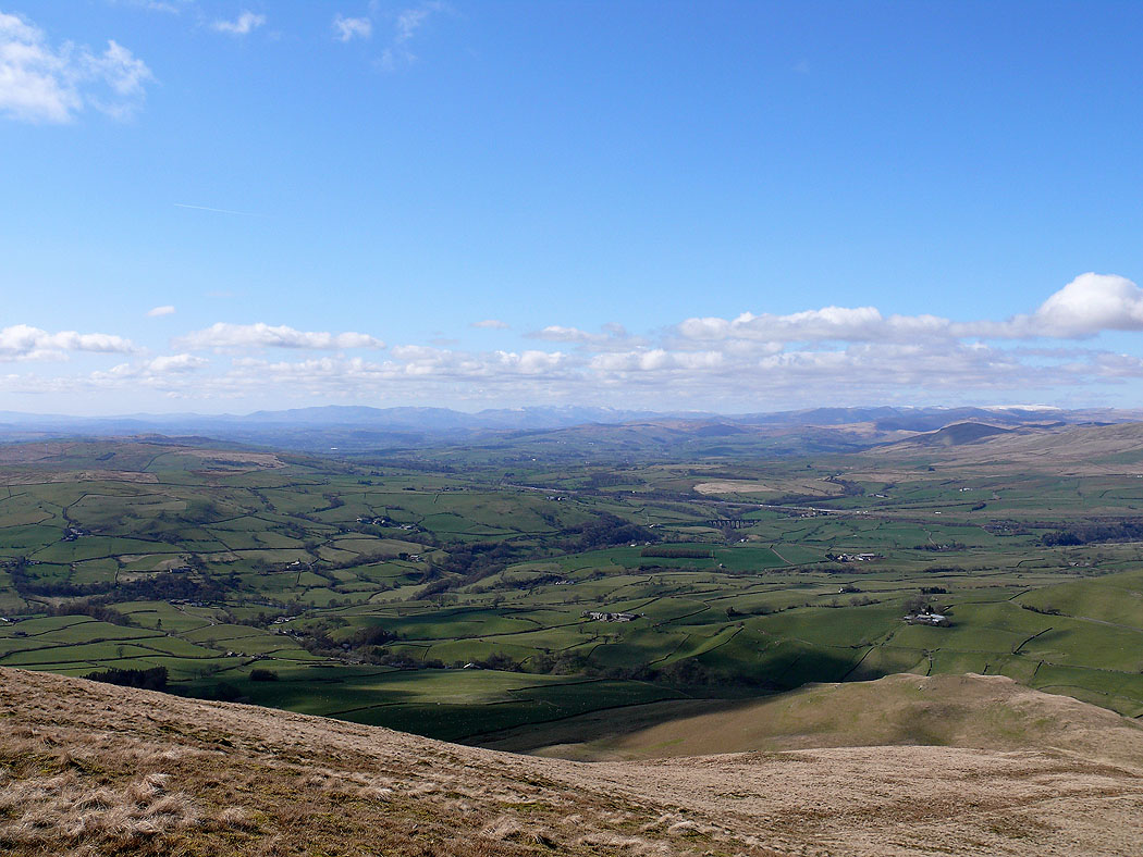
The view down Swarth Greaves Beck and across to the Lake District fells from Arant Haw. My route of ascent over Castley Knotts and Brown Moor to Fell Head can be seen.
Heading down the Nab
Morecambe Bay
White Fell Head, The Calf, Bram Rigg Top and Calders
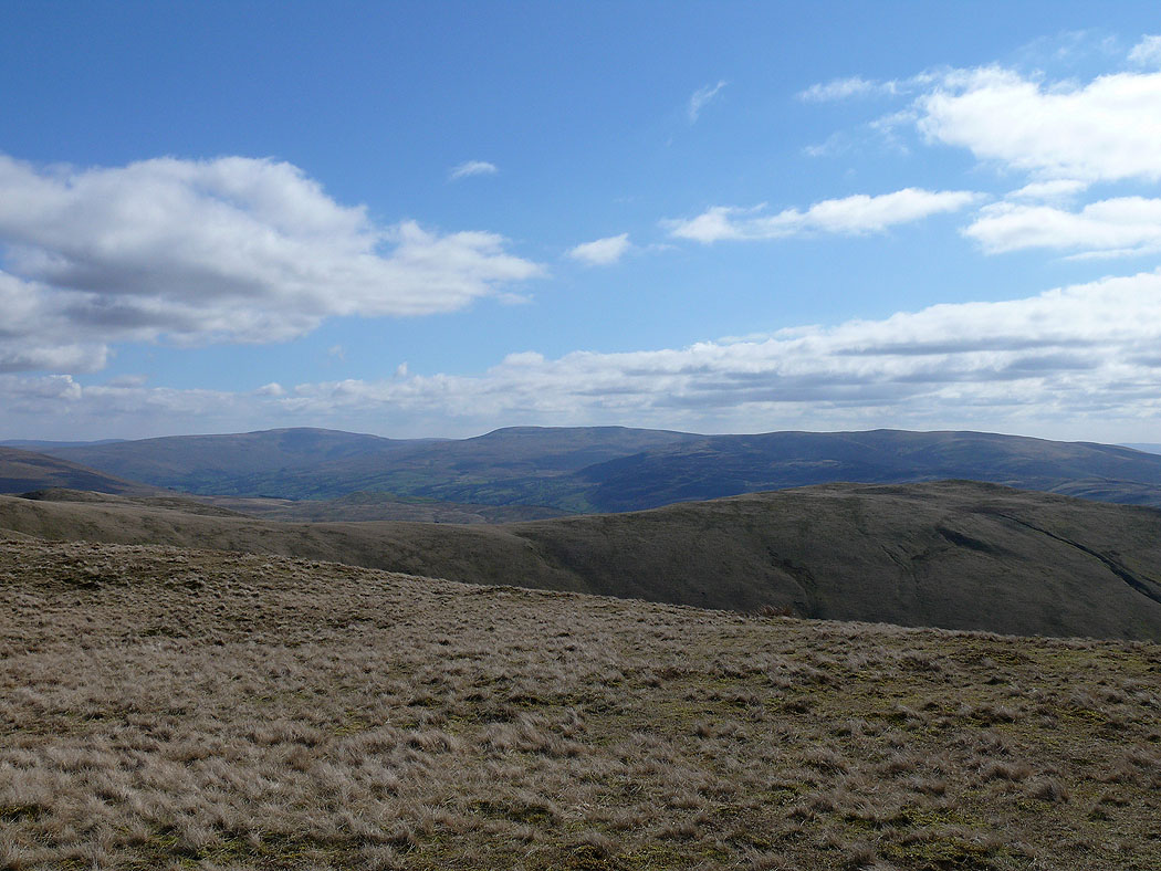
Whernside, Great Coum and Middleton Fell
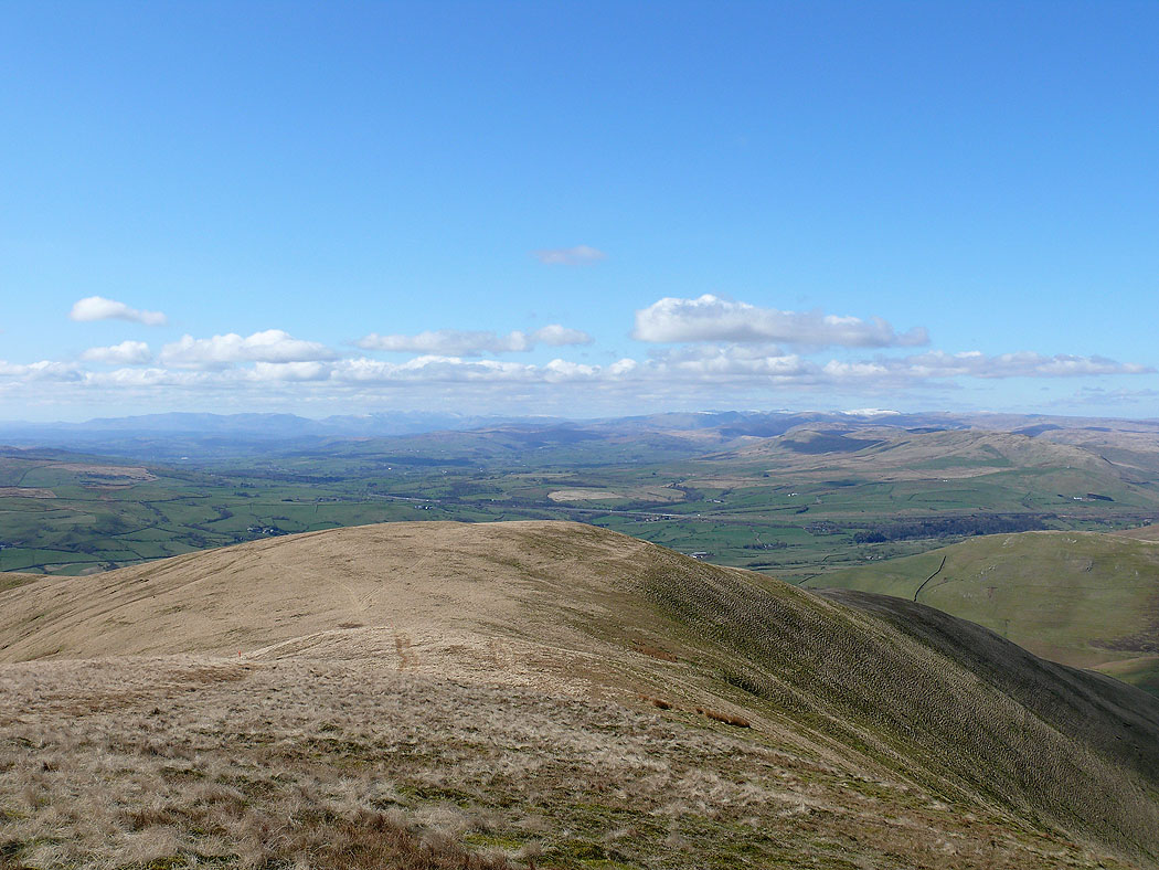
A couple of shots across to the Lake District fells as I head down to Seat Knott..
The final shot of the day, Fell Head
