29th March 2013 - Ingleborough
Walk Details
Distance walked: 9.9 miles
Total ascent: 2227 ft
OS map used: OL2 - Yorkshire Dales, Southern & Western areas
Time taken: 6.5 hrs
Route description: Clapham-Clapdale-Trow Gill-Little Ingleborough-Ingleborough-Simon Fell Breast-Long Scar-Long Lane-Clapham
Great weather for this ascent into the snow on Ingleborough. Some fine, sunny weather although the cloud did tend to build through the day and there were even a few snow flurries. It was the bitterly cold wind that was blowing that was of note however. It had to be one of the coldest days I've ever walked on despite it being the end of March.
I left Clapham by the track to Clapdale Farm. Once I reached the farm, I went through the farmyard and then down to the valley of Trow Gill. Once out of Trow Gill I crossed the moorland to climb Ingleborough via Little Ingleborough. My route back was across Simon Fell Breast, the limestone pavement of Sulber and down the track of Long Lane.
Route map
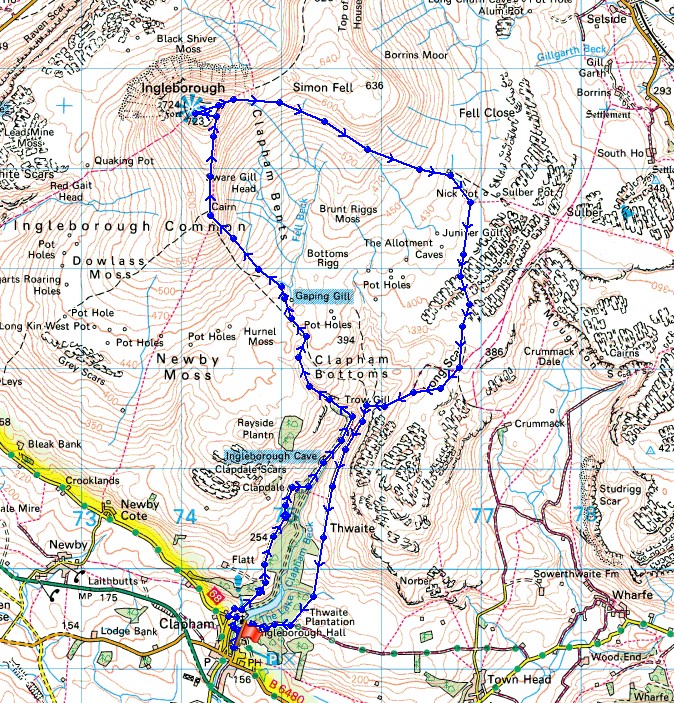
© Crown copyright. All rights reserved. License number PU 100034184.
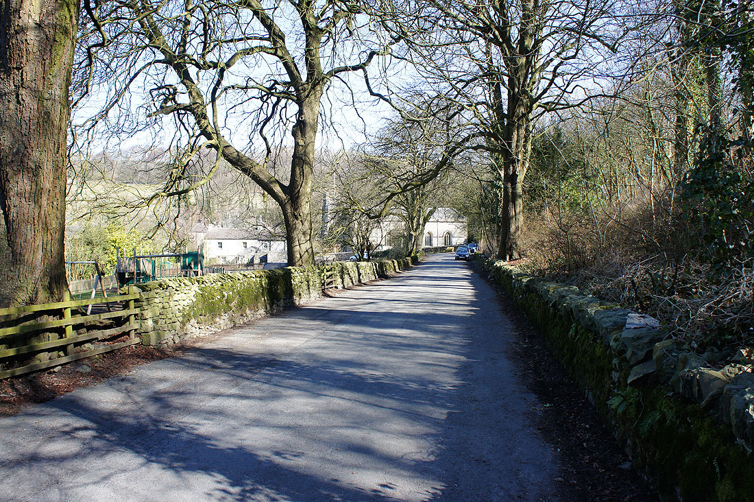
Setting off from Clapham
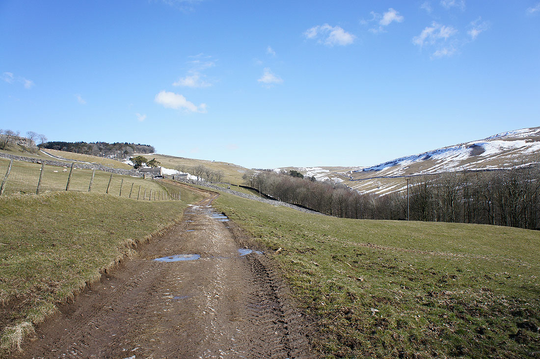
On the track to Clapdale Farm
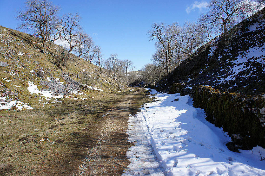
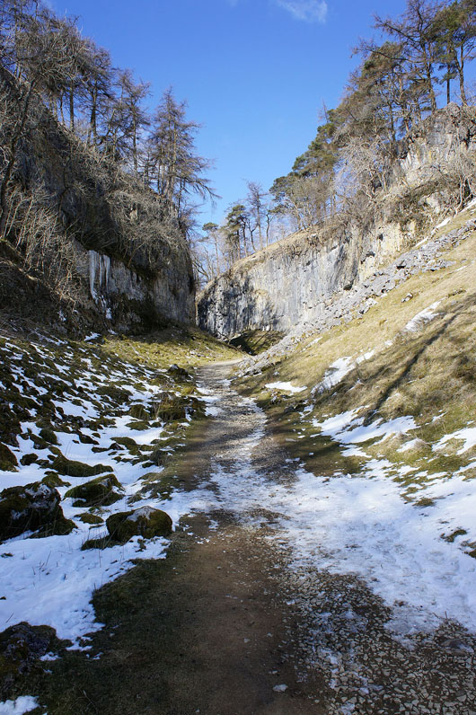
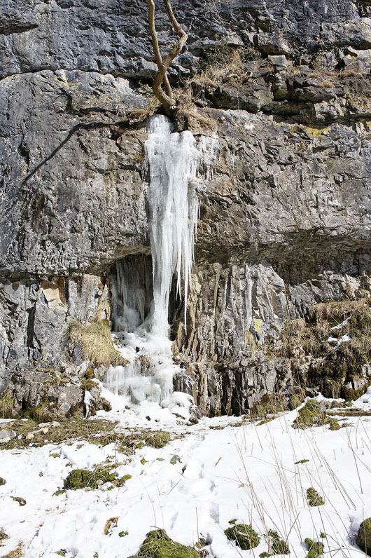
In Trow Gill..
|
|
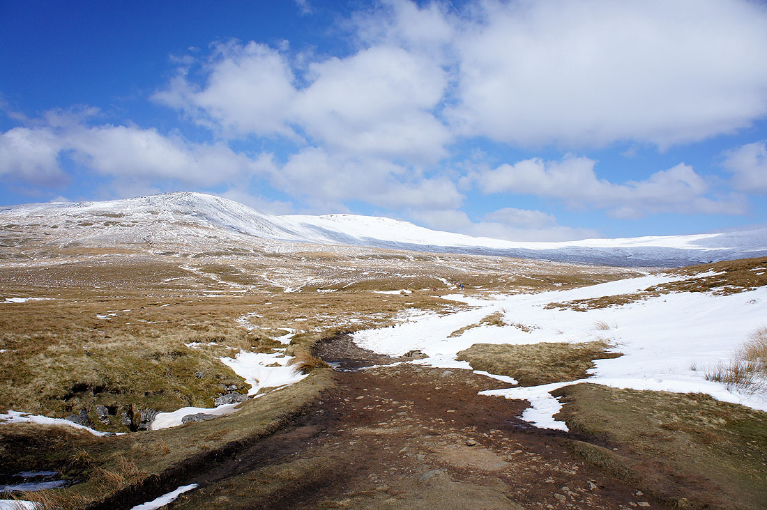
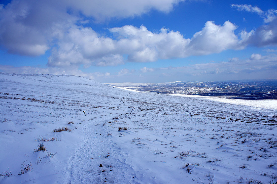
Ingleborough comes into view for the first time today. It looks like it might be a bit nippy up there.
Looking across to Penyghent and Fountains Fell as I head up into the snow
and again but from Little Ingleborough
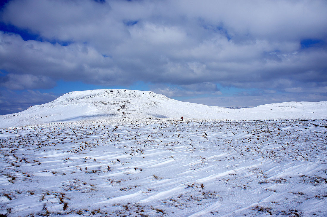
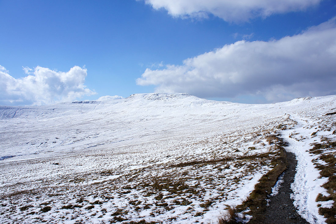
The summit awaits
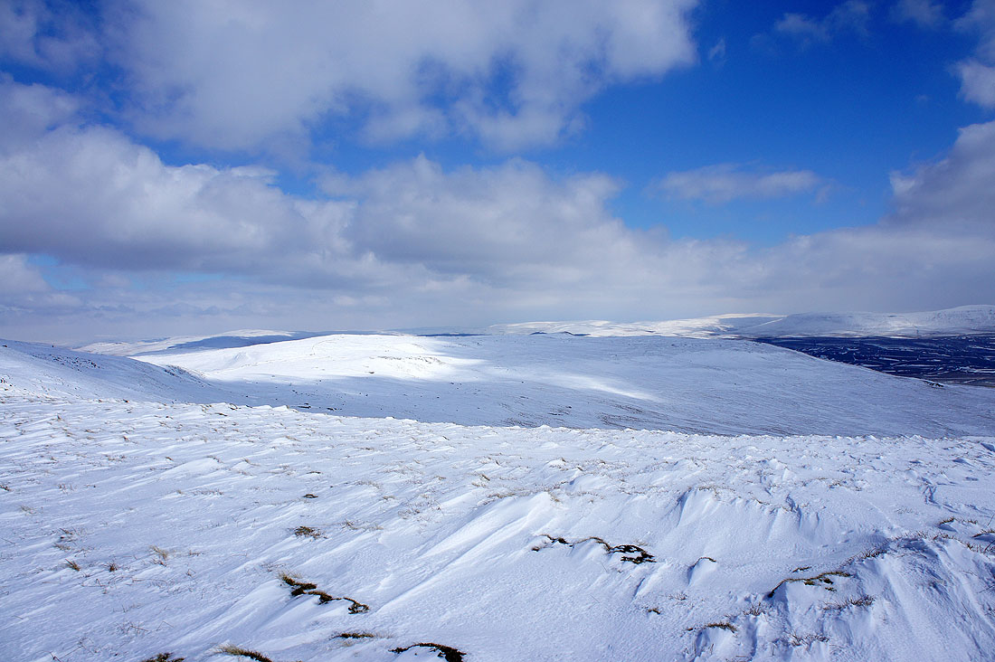
Lots of snow covered fells to the east
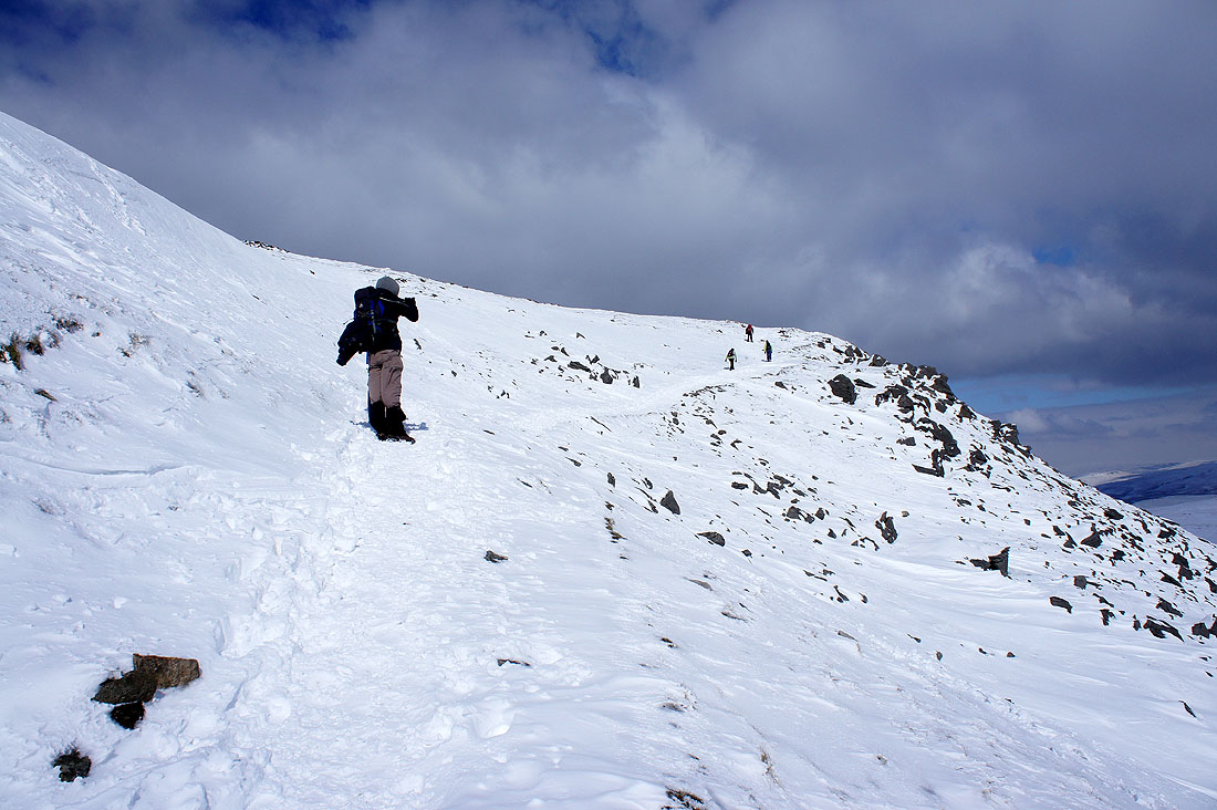
The final climb
Heading for the summit and I pause to take a shot of Simon Fell
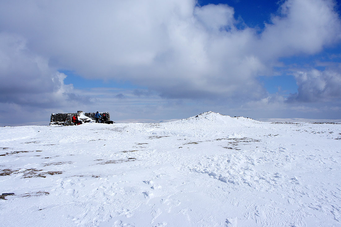
A frozen summit and a decision to make. Either sit in the sun and suffer the wind or in the shade and out of the wind. Sunny side for me.
A short video taken on the summit. It was as windy as it sounds.
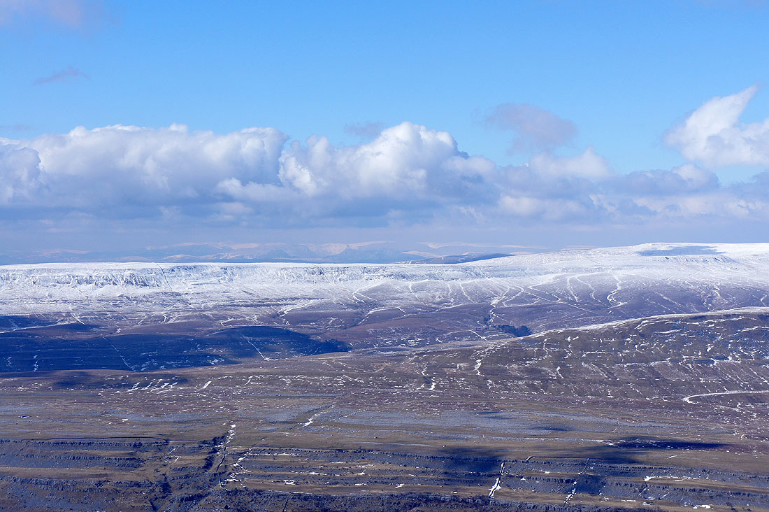
Snow dusting the highest tops in the Forest of Bowland
A rather hazy view towards Morecambe Bay
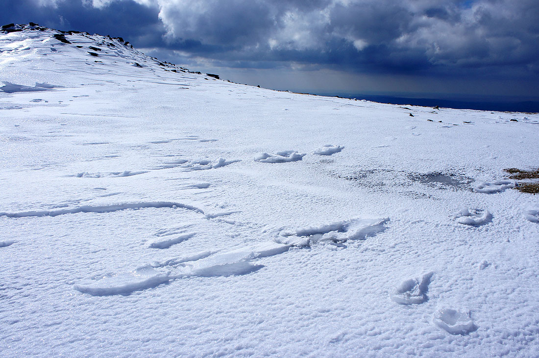
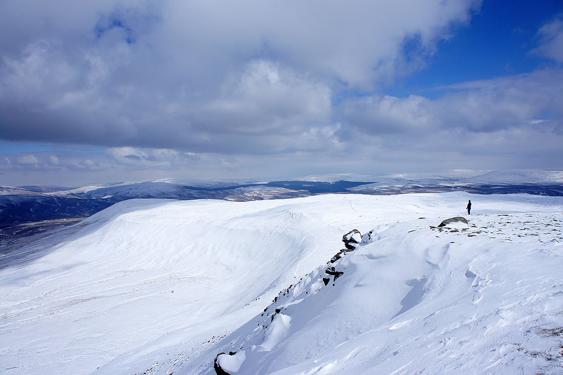
Raised footprints
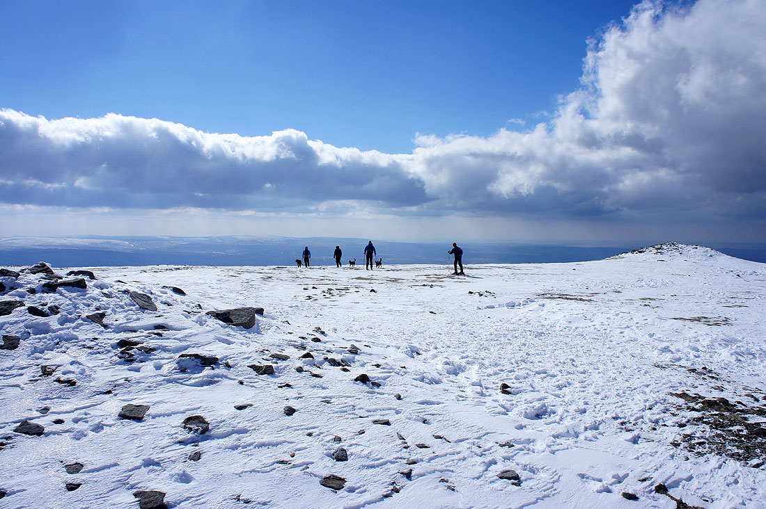
Skiers on Ingleborough
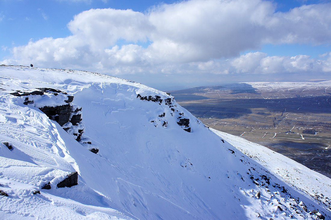
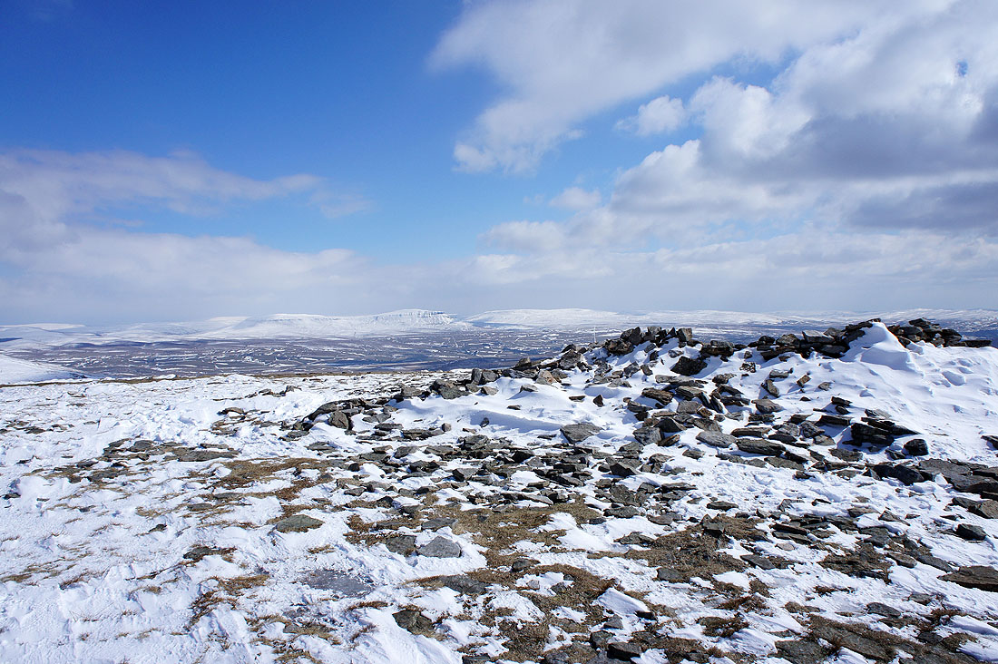
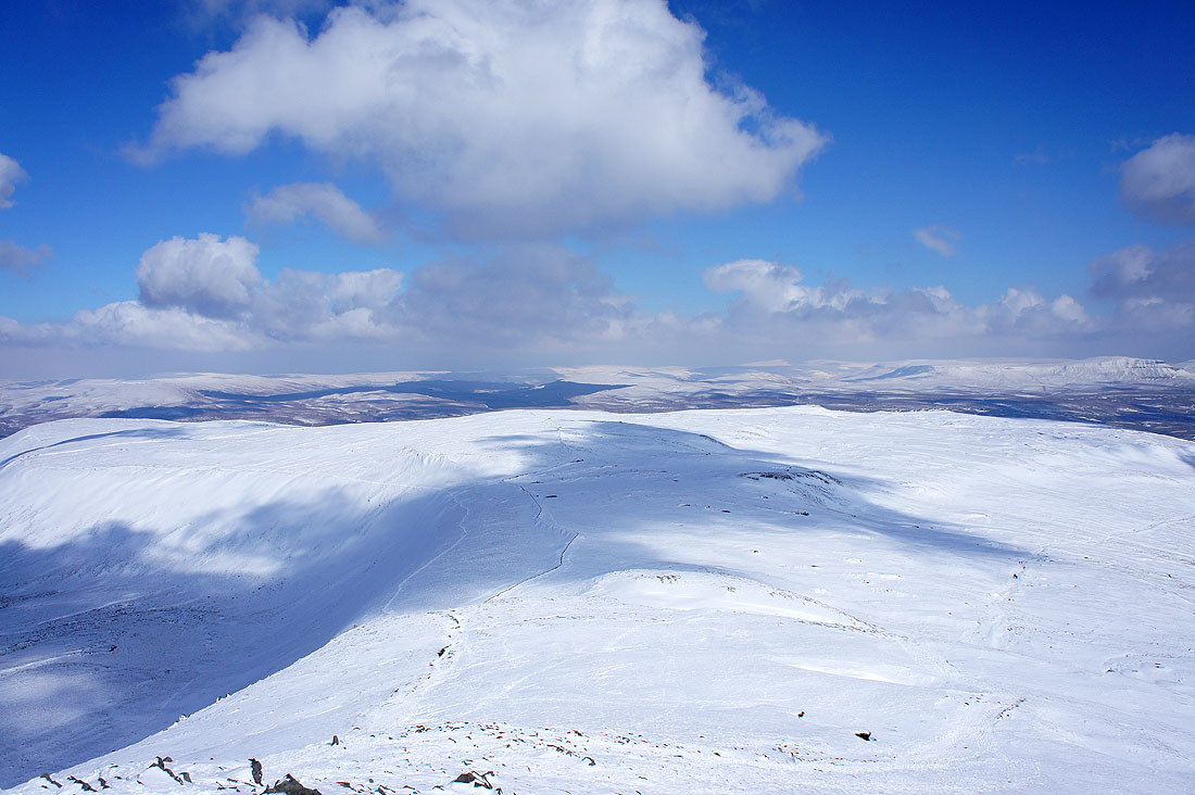
Cornice on the northern edge of the summit plateau
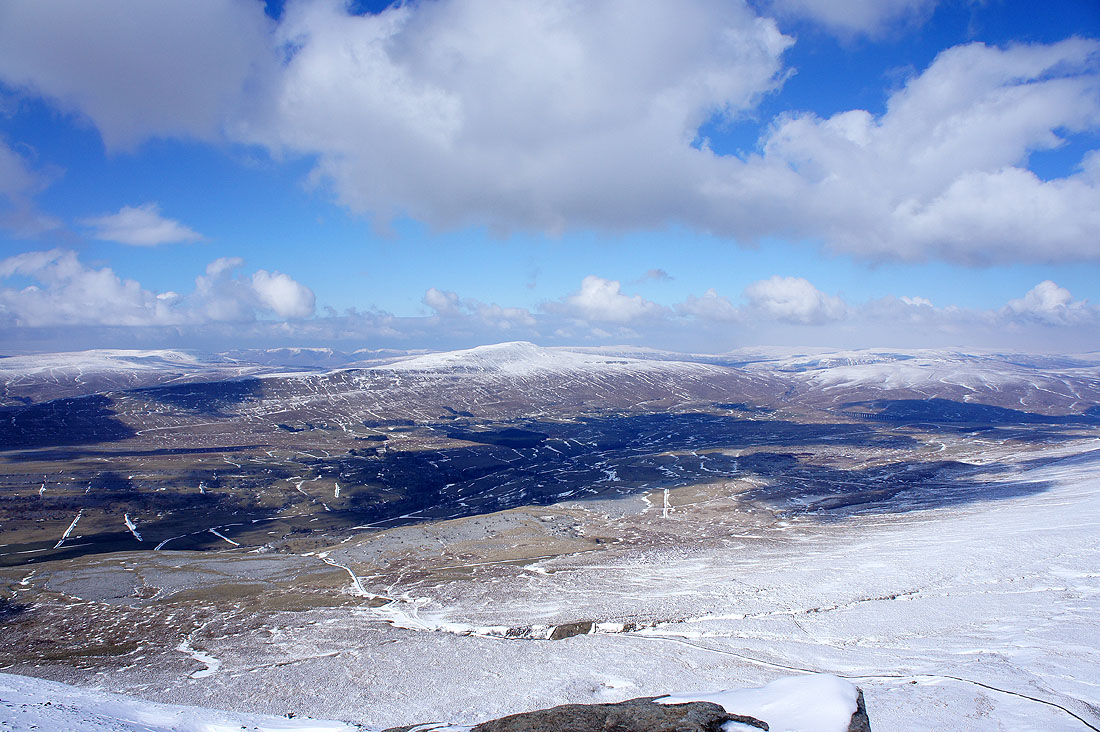
Looking across Chapel-le-Dale to Great Coum and Whernside
Zooming in to the left of Great Coum and I can make out snow covered Lakeland fells
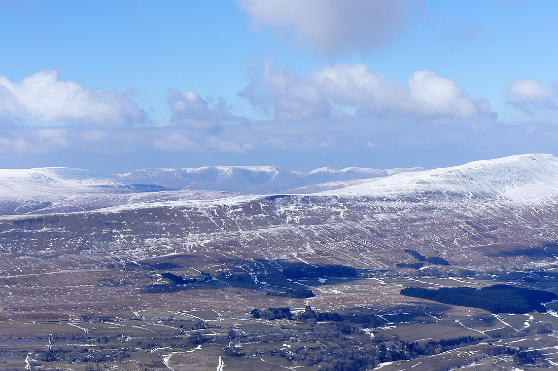
The Howgills in the gap between Great Coum and Whernside
Time to head down. Simon Fell lies below.
Penyghent and Fountains Fell in the distance
Crossing Simon Fell Breast
Ingleborough's summit above
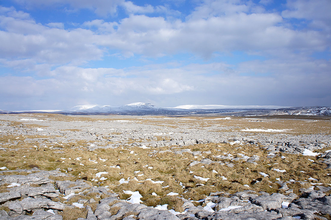
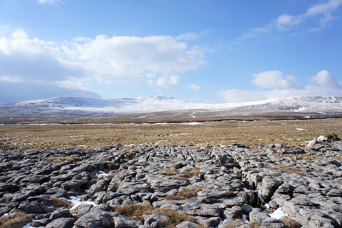
Penyghent and Fountains Fell across the limestone pavement of Sulber
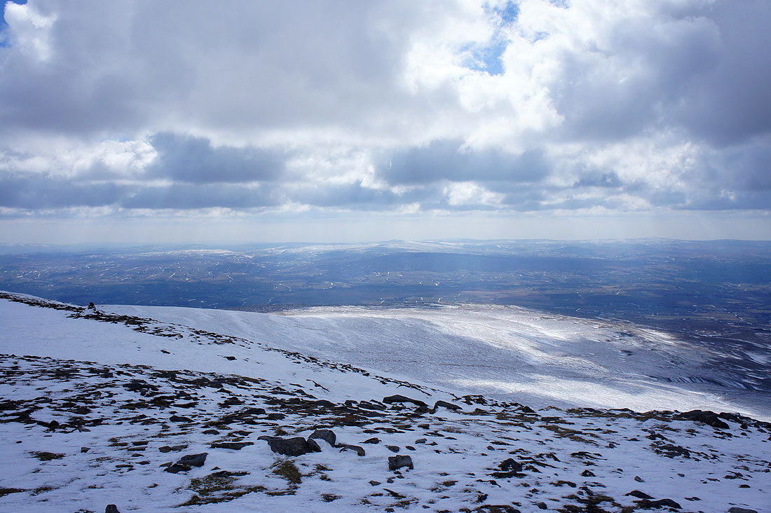
Looking towards the hills above Settle
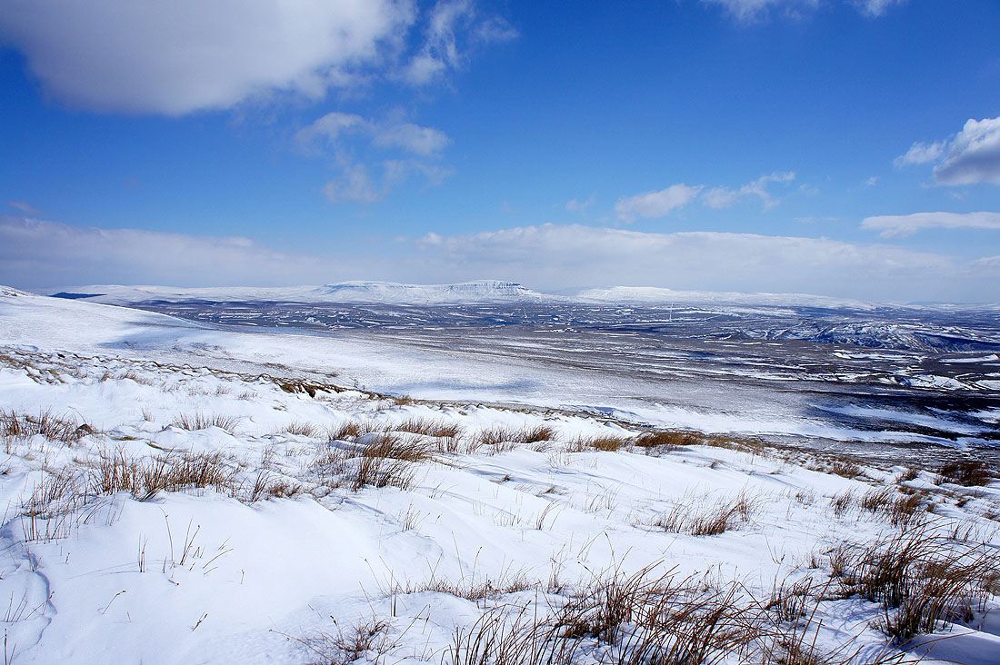
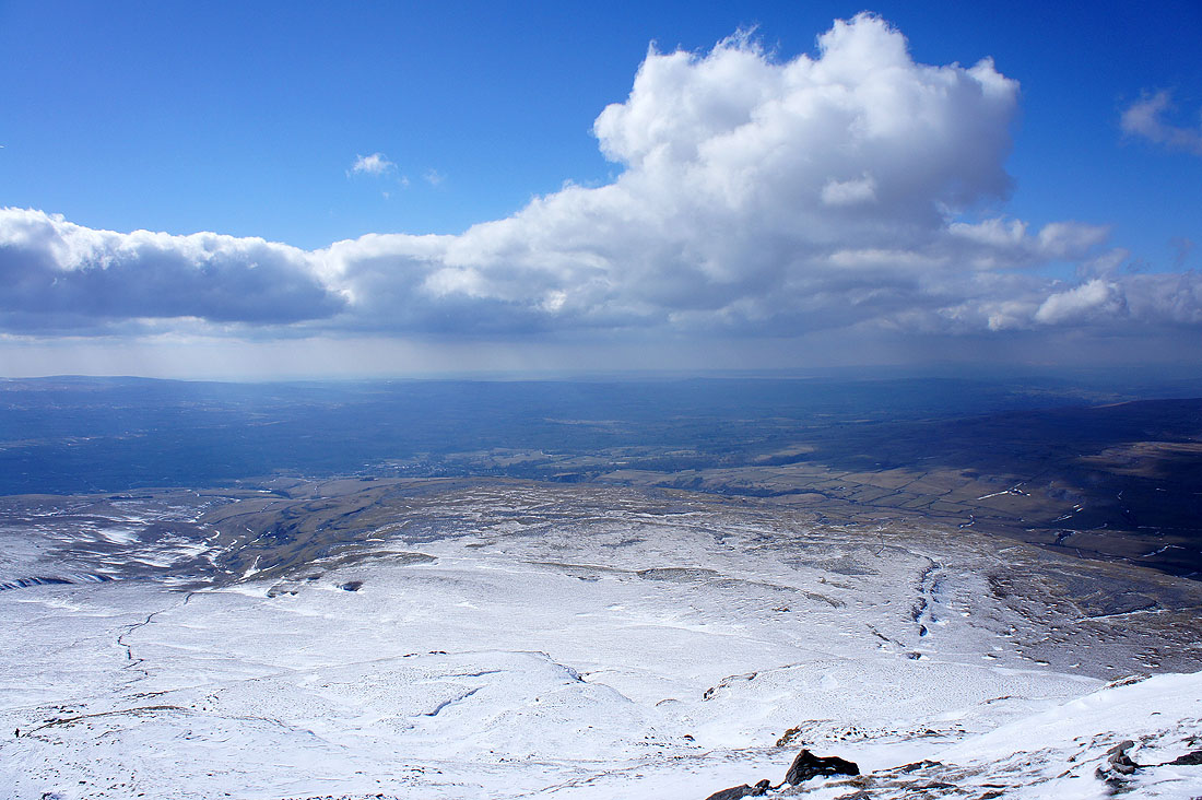
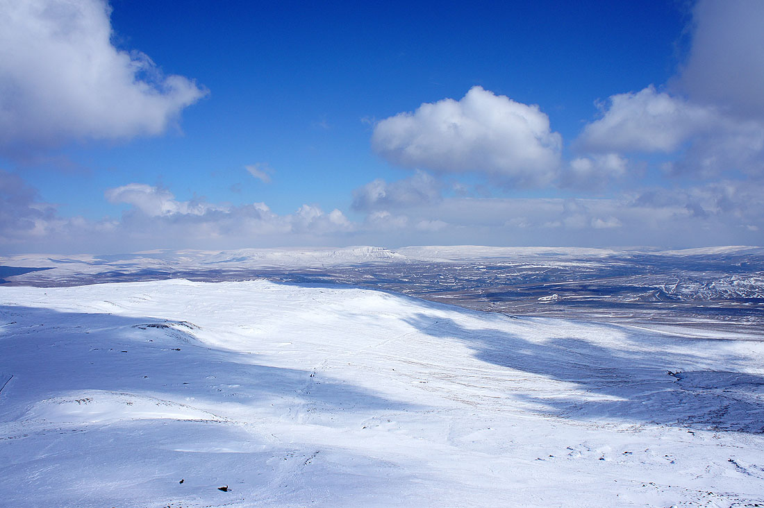
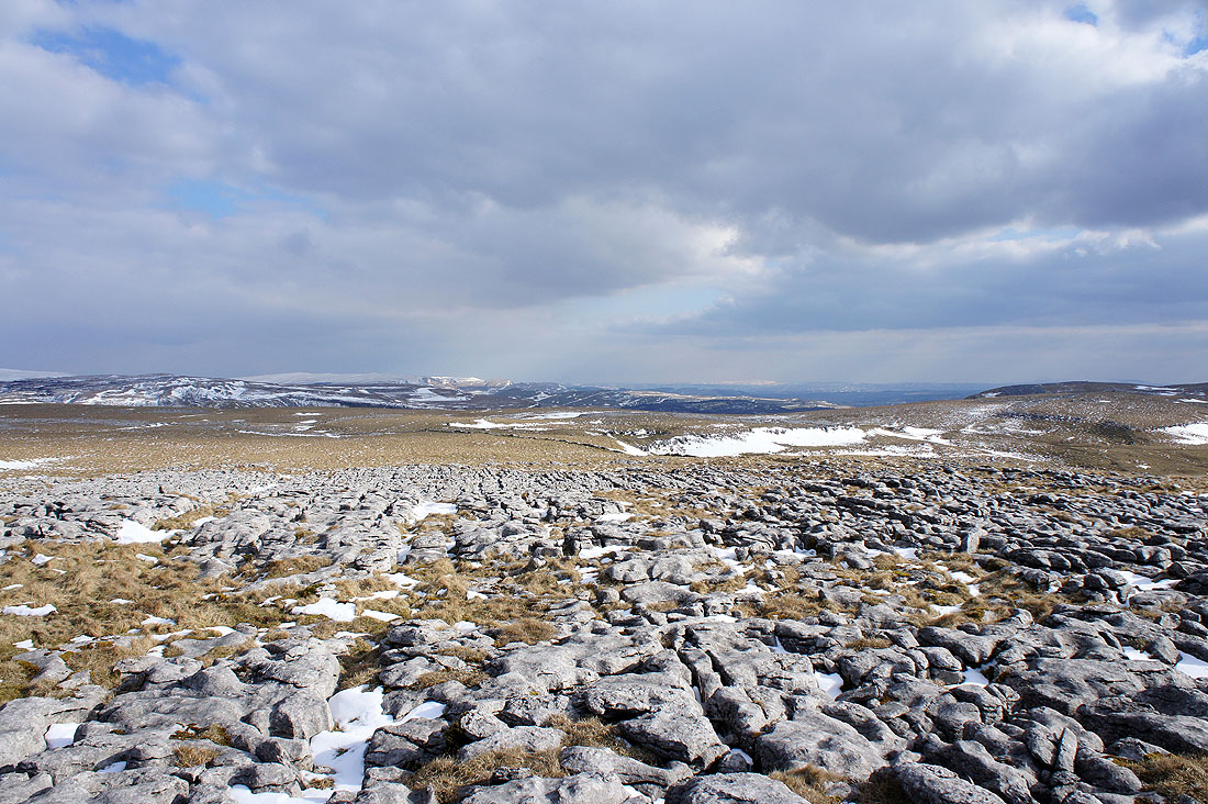
Ingleborough from Long Scar
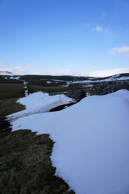
Deep drifts
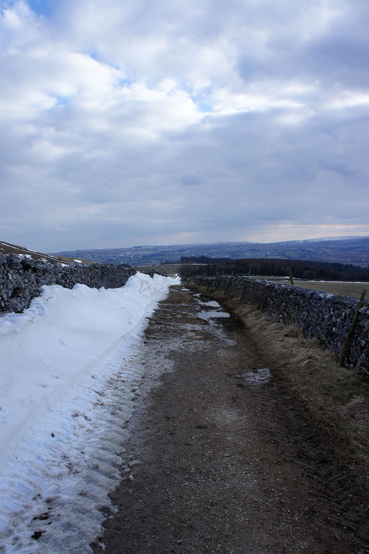
and more deep drifts as I head down Long Lane back to Clapham