29th March 2014 - Hutton Roof Crags & the River Lune
Walk Details
Distance walked: 12.2 miles
Total ascent: 1447 ft
OS map used: OL2 - Yorkshire Dales, Southern & Western areas and OL7 - The English Lakes, Southeastern area
Time taken: 6.5 hrs
Route description: Devil's Bridge, Kirkby Lonsdale-High Biggins-Limestone Link-Hutton Roof-Hutton Roof Crags-Crag House-Docker-B6254-Lune Valley Ramble-Devil's Bridge, Kirkby Lonsdale
I've driven past Kirkby Lonsdale twice in recent weeks and I've wanted to have a walk by the River Lune for some time so I worked out this route that combined a riverside walk with a visit to Hutton Roof Crags. It was a mild, windy day with hazy sunshine but poor visibility due to thick haze so a low level walk was ideal.
After enjoying a sausage sandwich and cup of tea from the Devil's Grill I set off by following a footpath to the village of High Biggins. I walked through the village and took the Limestone Link path across to Hutton Roof. I then made my way onto Hutton Roof Crags and after a bit of wandering about managed to find the trig point. My route off Hutton Roof Crags took me down to the footpath that runs along the side of access land to Crag House. I then had some road walking to do to reach the River Lune, which I followed all the way back to Devil's Bridge.
Route map
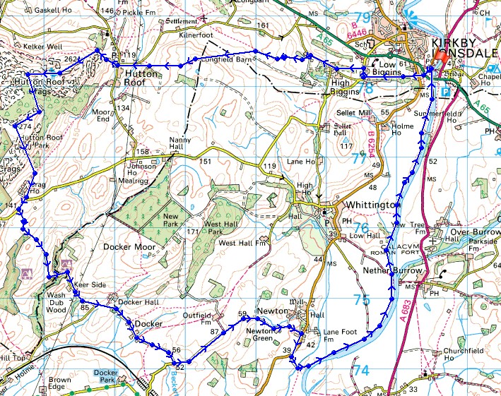
© Crown copyright. All rights reserved. License number PU 100034184.
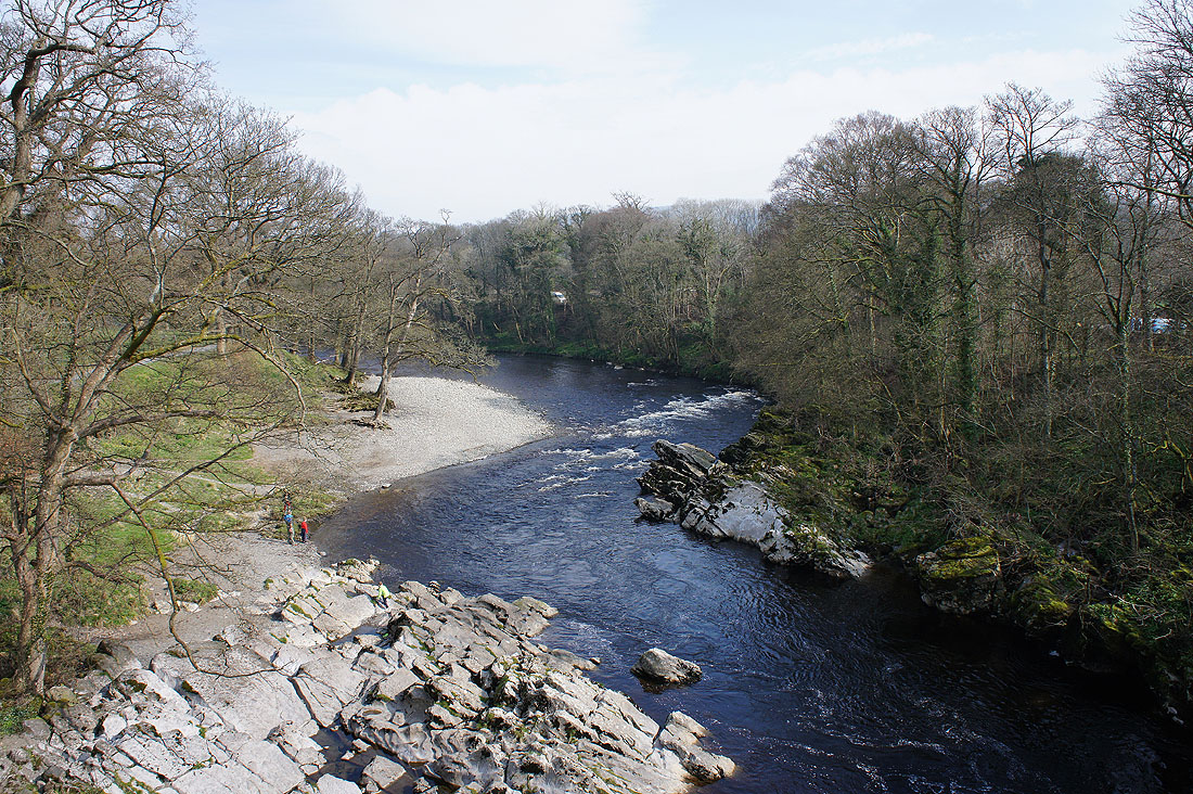
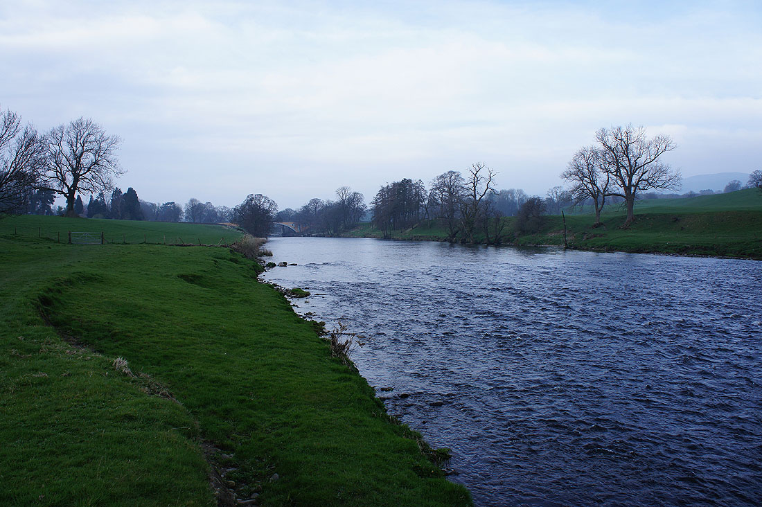
Before I set off, a photo of the River Lune from the Devil's Bridge
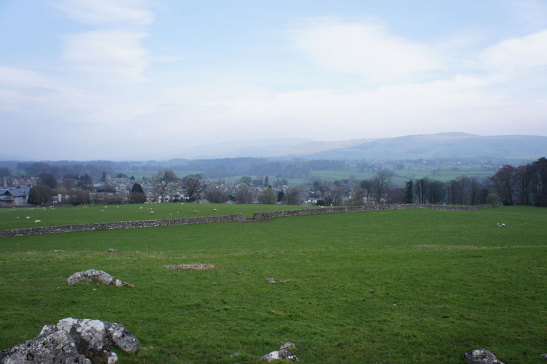
Kirkby Lonsdale from the path to High Biggins. Middleton Fell and Barbon Low Fell are already being lost in the haze.
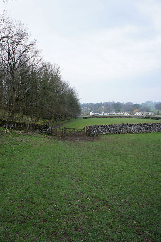
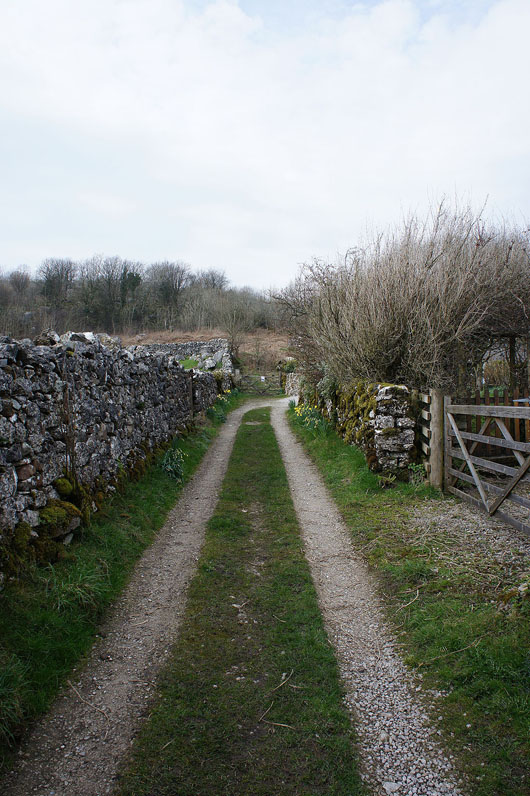
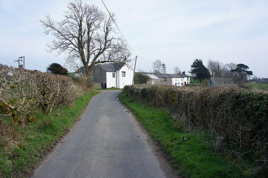
On the path to High Biggins
and having walked through the village, on Pit Lane
At the start of the Limestone Link path. It heads straight across the fields to the wall in the far distance.
Having reached the wall, looking back with Middleton Fell and Barbon Low Fell just about visible through the haze
Hutton Roof and Hutton Roof Crags ahead
On the path out of Hutton Roof onto Hutton Roof Crags
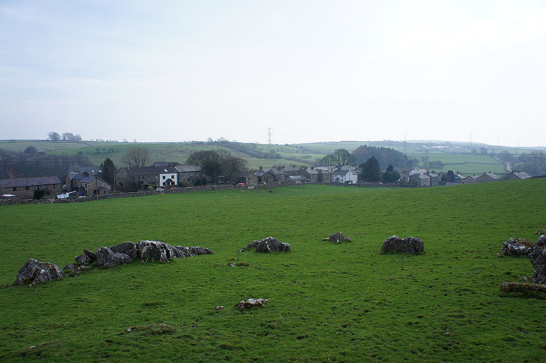
The village of Hutton Roof
On the path up onto Hutton Roof Crags
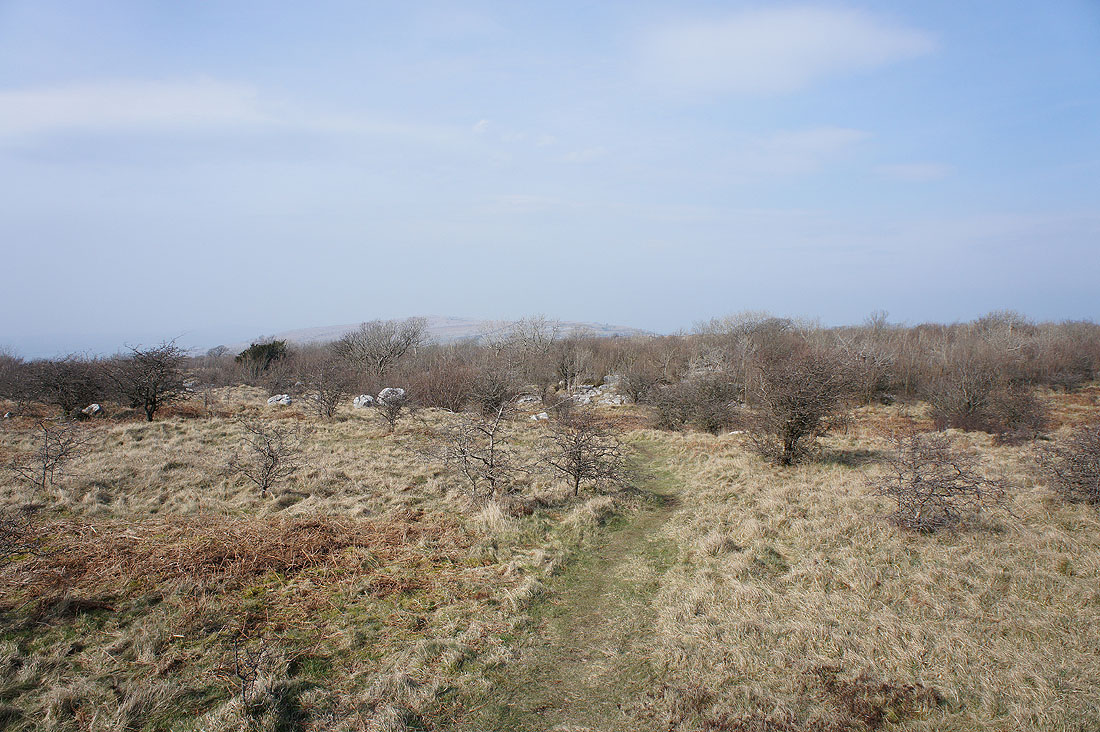
Limestone crags aplenty..
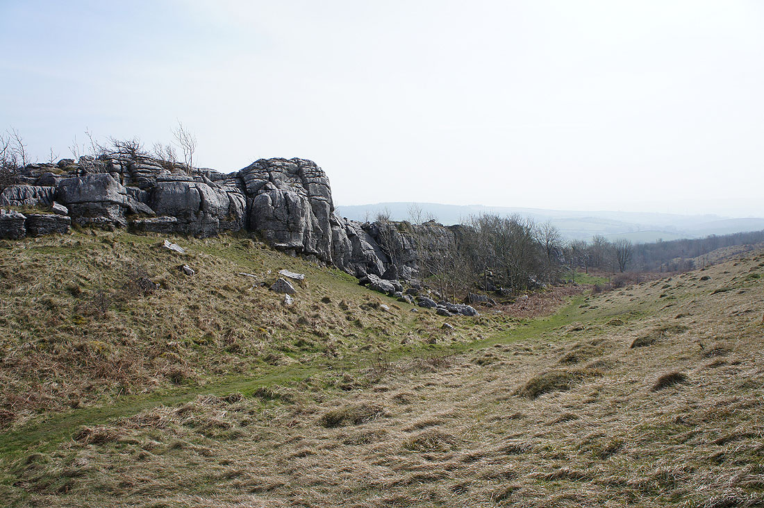
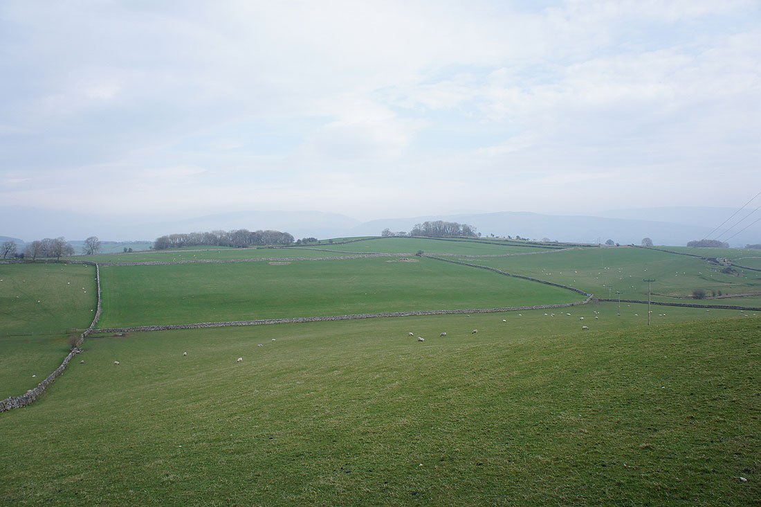
On the northern edge of Hutton Roof Crags. Middleton Fell on the other side of the Lune valley is pretty much lost in the haze.
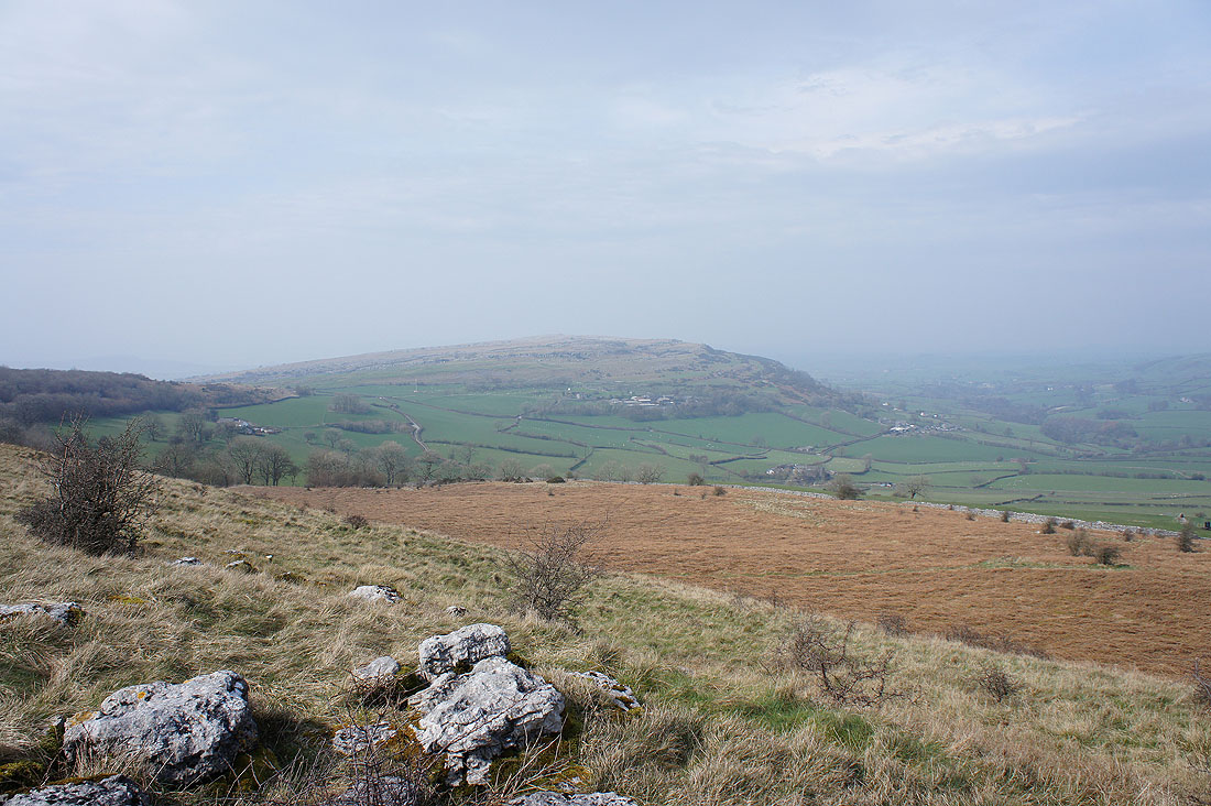
The neighbouring Holmepark Fell isn't though
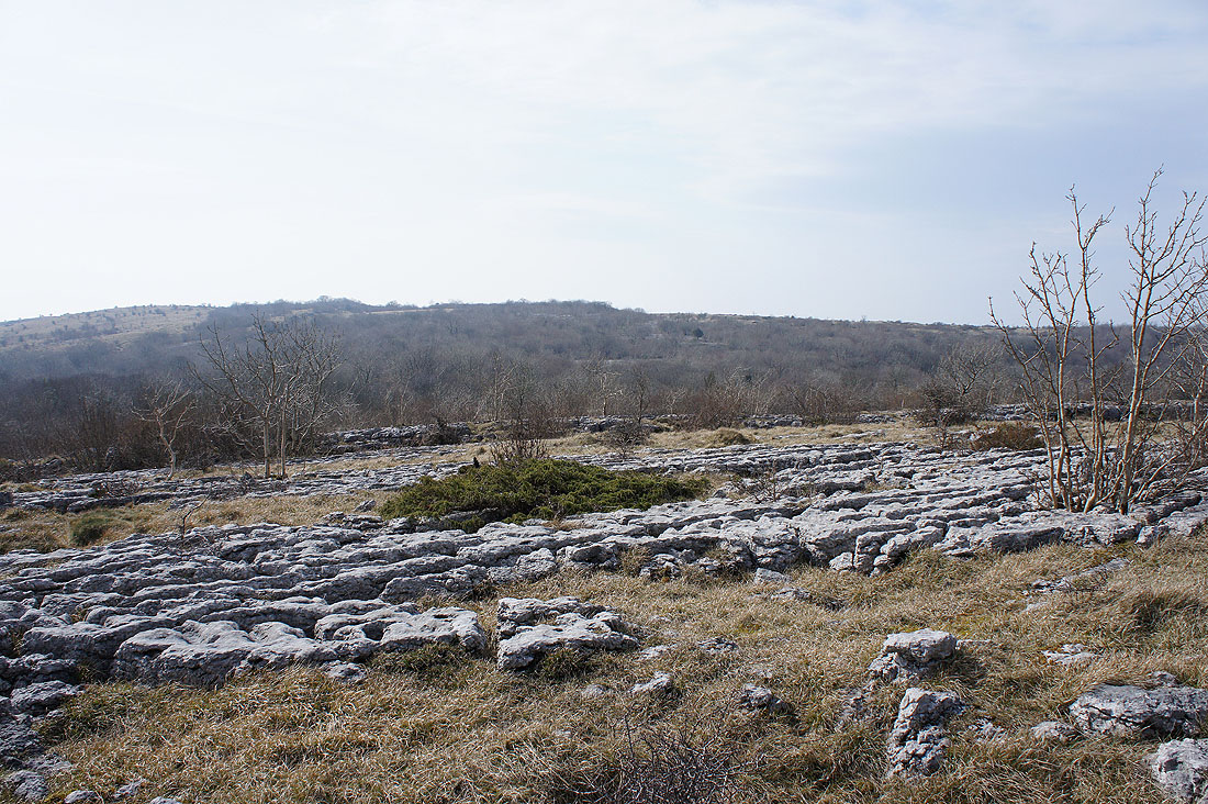
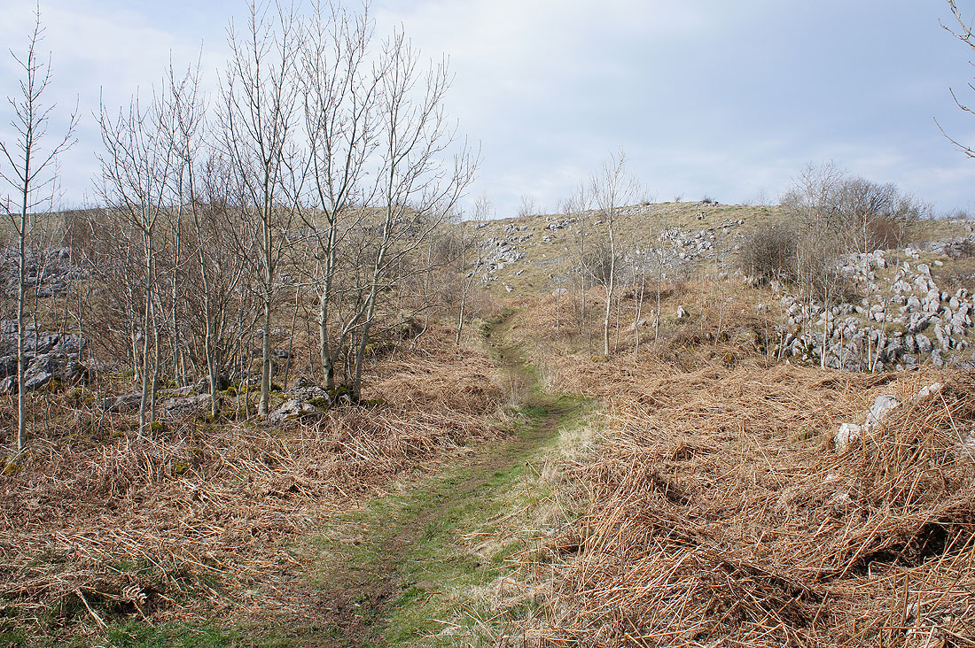
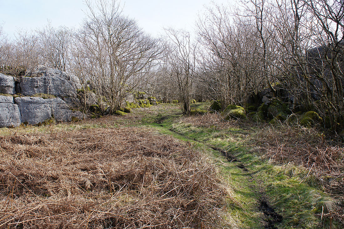
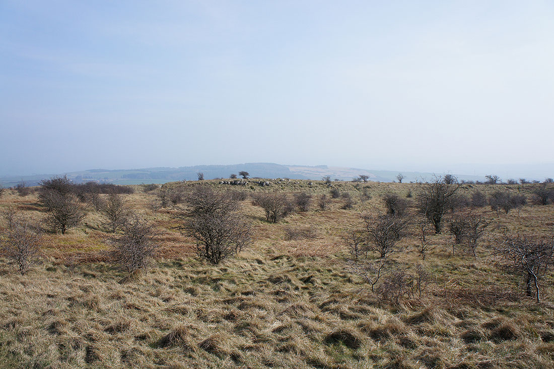
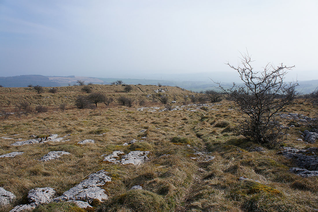
Some limestone pavement. The top of Hutton Roof Crags is over in the distance beyond the trees. I've got to find a way over there.
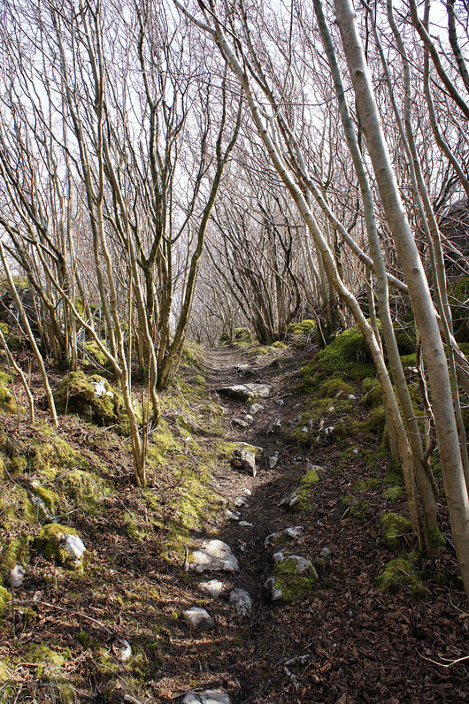
Limestone, moss and trees as I make my way across Hutton Roof Crags..
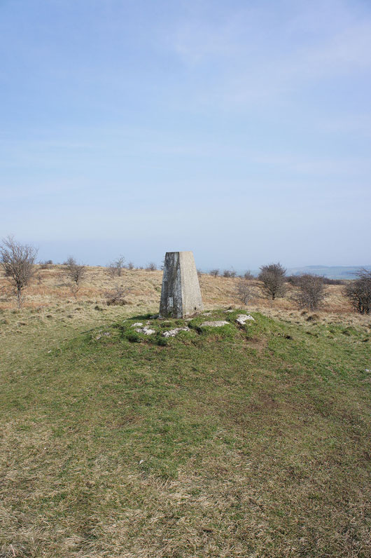
Hooray! Found it. I was prepared to give up if it was taking too long but I was pleasantly surprised that my sense of direction was good enough.
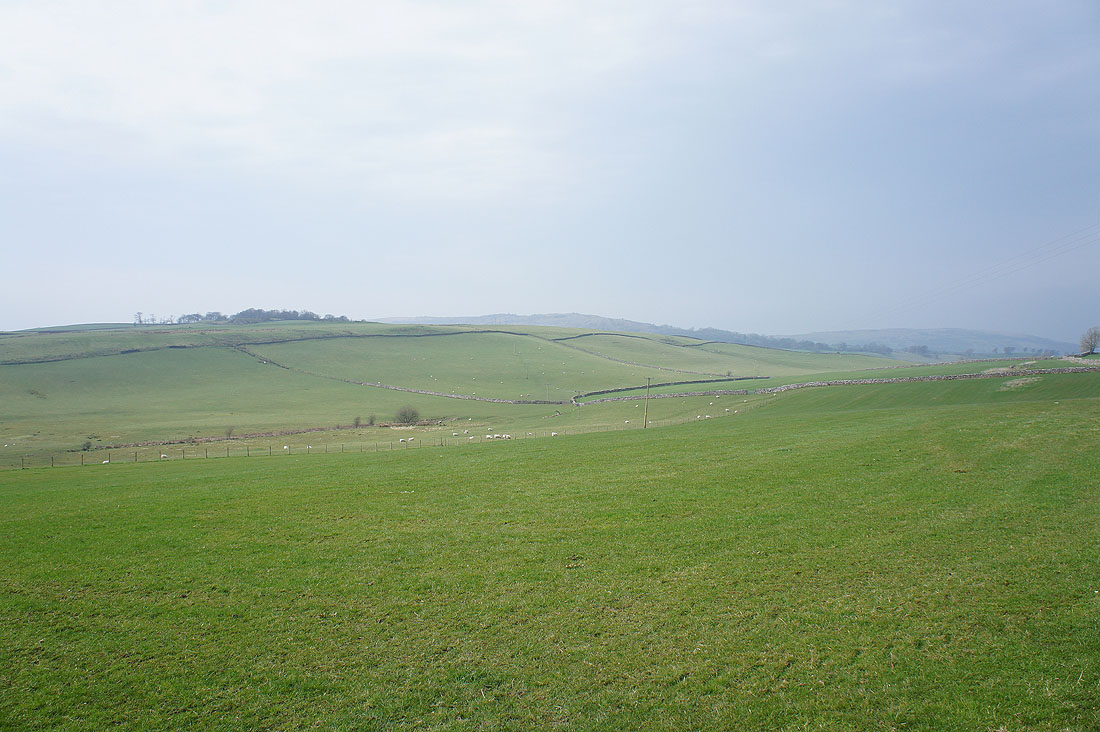
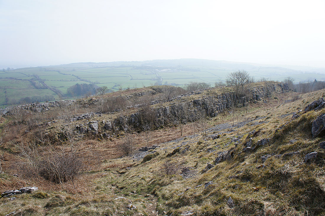
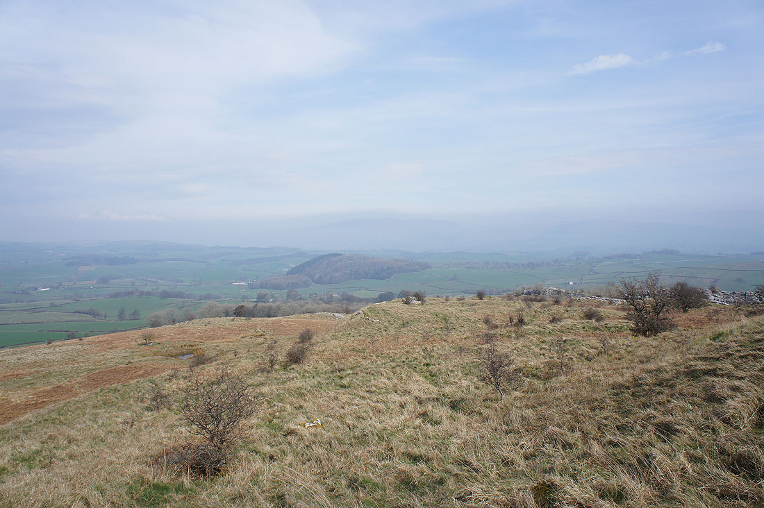
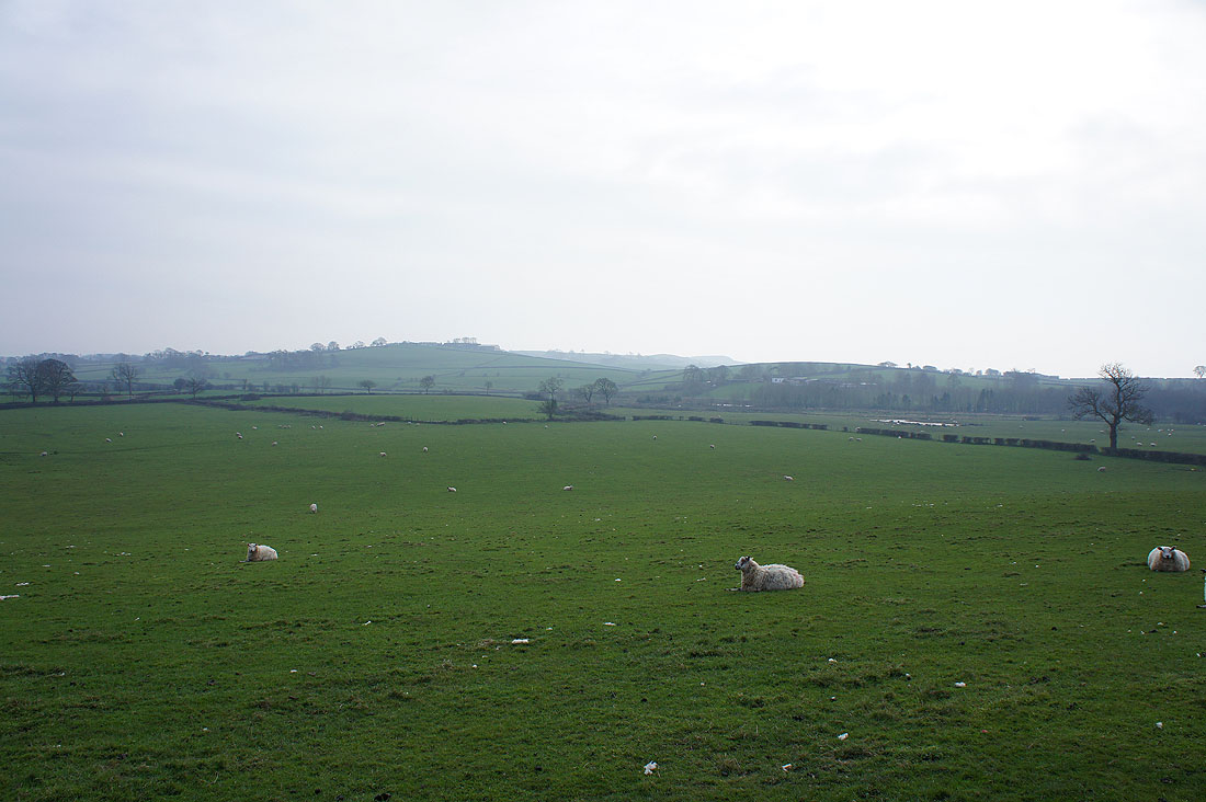
The haze has severely restricted any long distance views. I can make out nearby Docker Moor though.
Holmepark Fell over the tops of the trees
Leaving Hutton Roof Crags. Not by the same way as I arrived though.
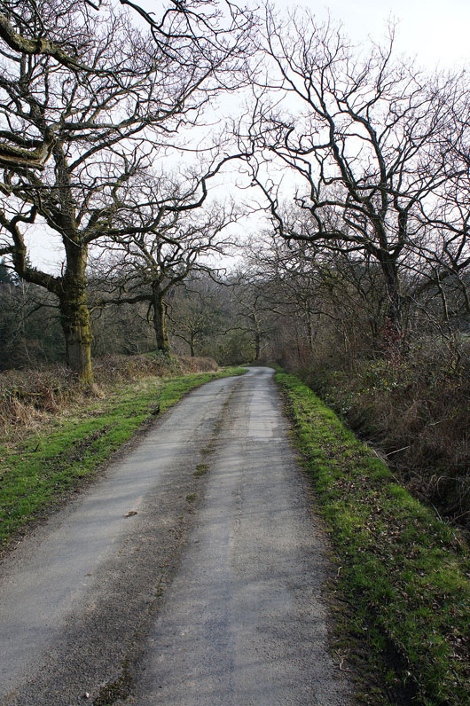
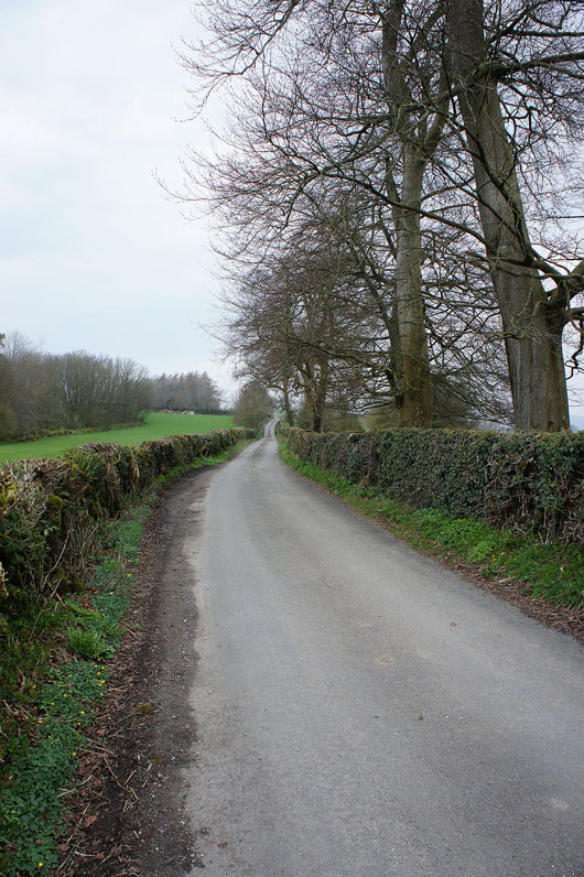
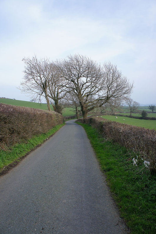
It's all road walking now until I reach the banks of the Lune. Not something I particularly enjoy but the roads are quiet and I have beautiful countryside to admire.
Through the hamlet of Docker
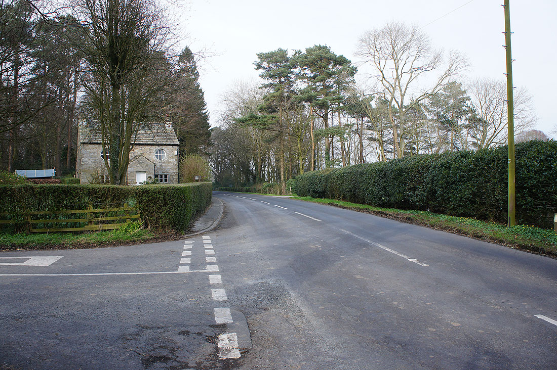
At the T-junction on the B6254. Ahead is the village of Newton. I'm heading in the other direction though, to a track that will take me down to the banks of the Lune.
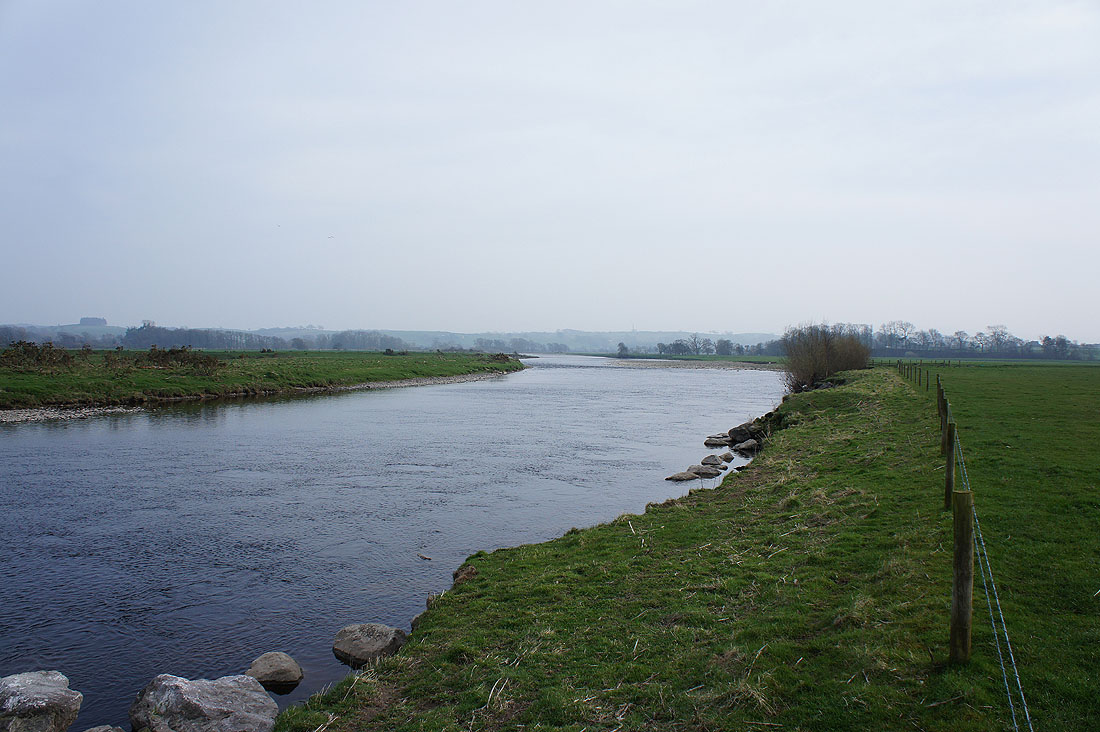
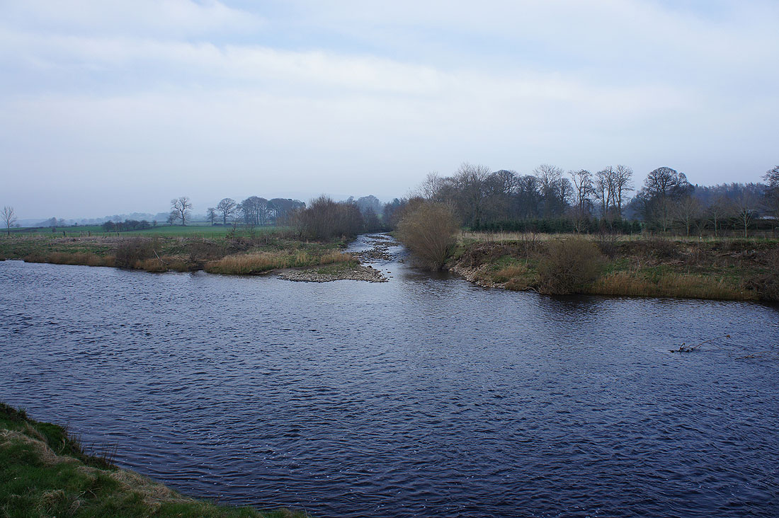
By the River Lune. Looking downstream..
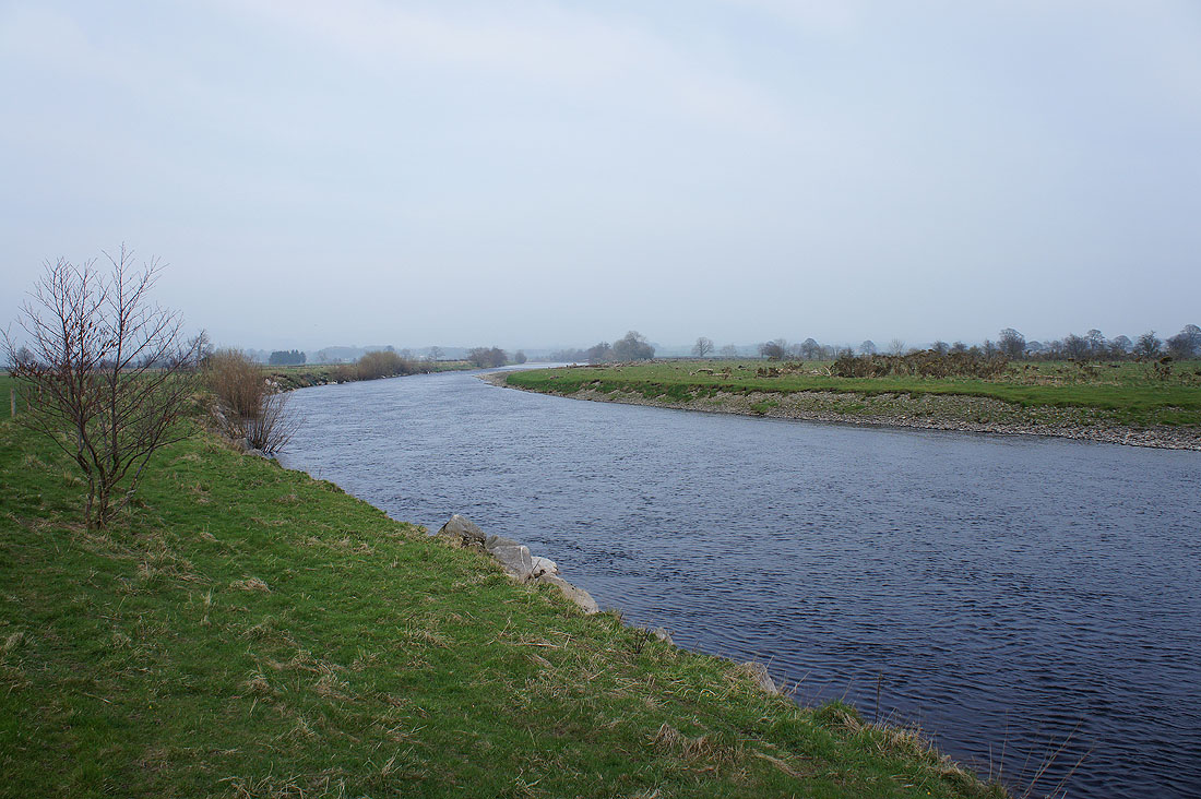
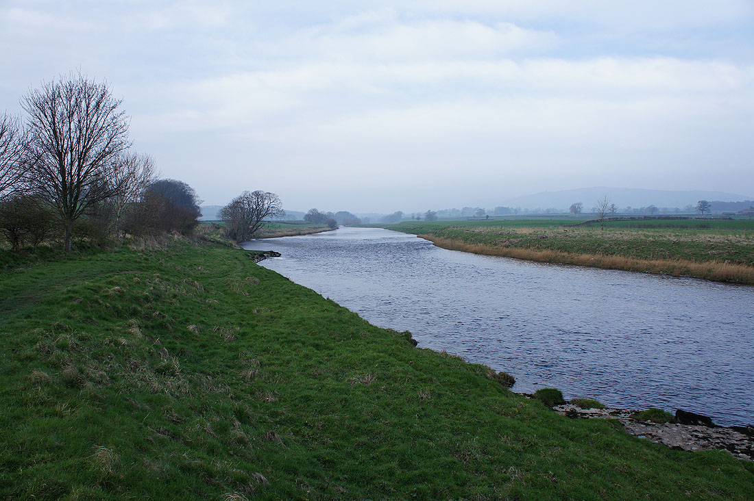
..and upstream, which is the direction I'm heading in
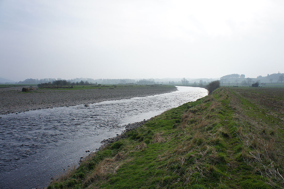
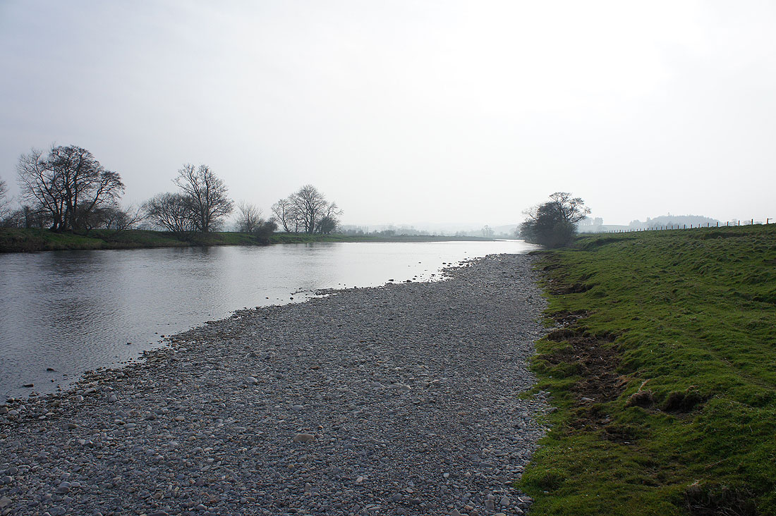
Leck Beck joins the Lune
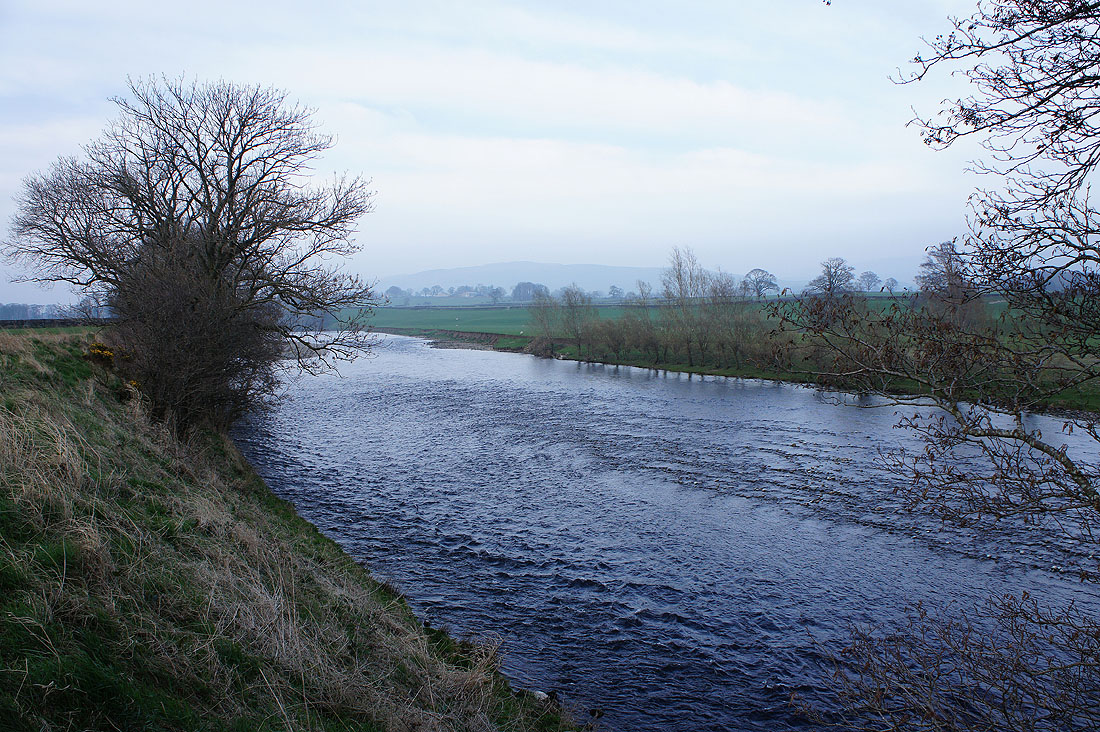
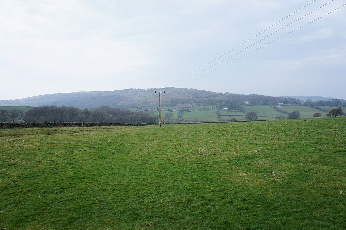
Barbon Low Fell in the distance
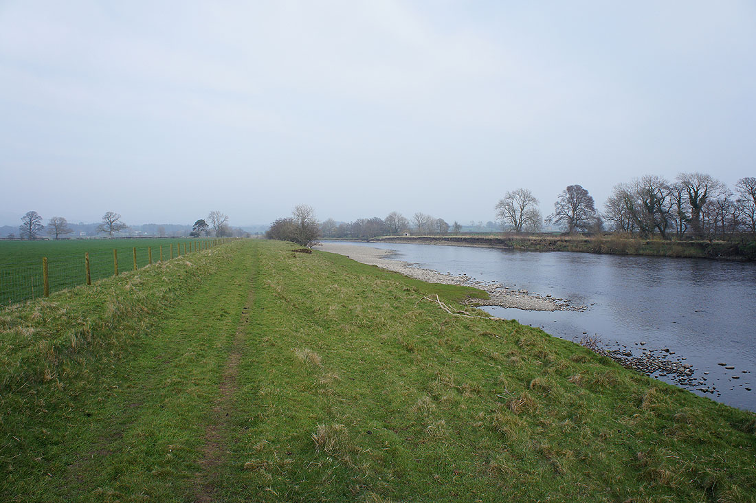
Not far to go now. The bridge carrying the A65 is in sight.
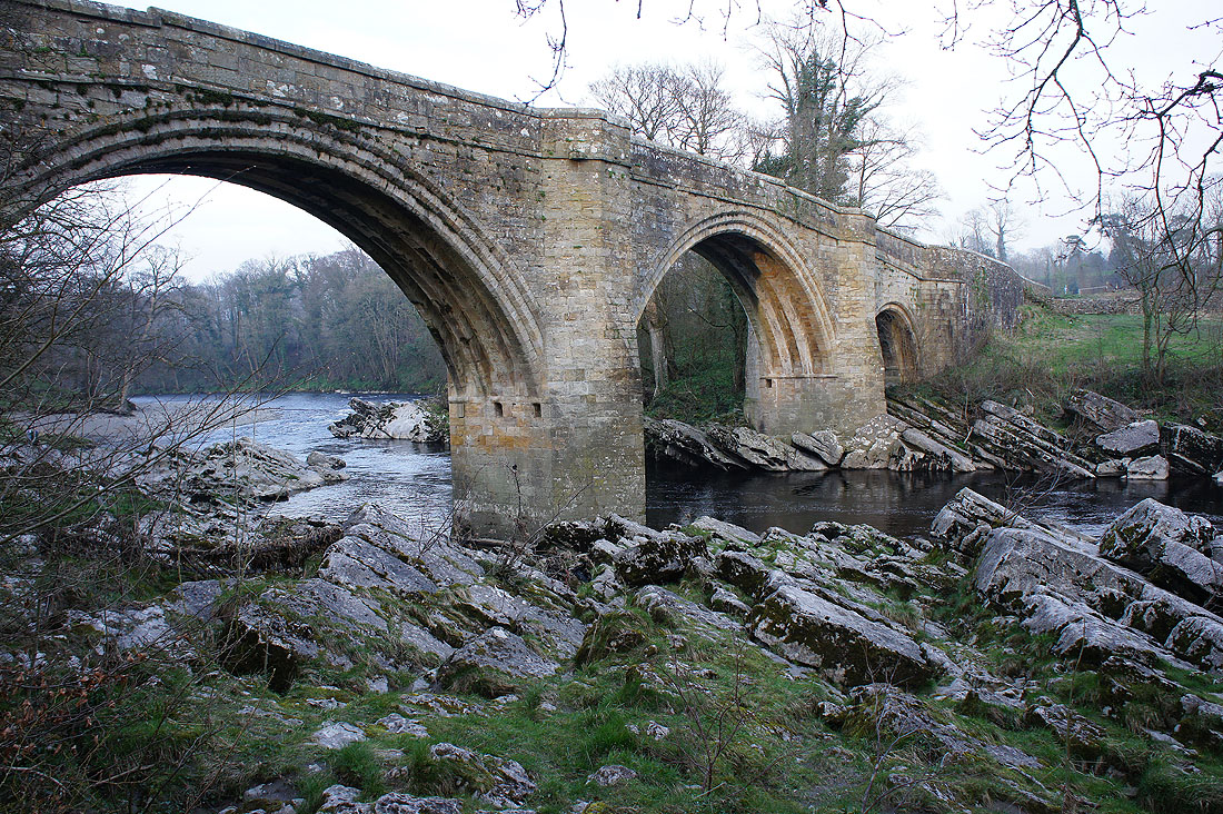
Back at the Devil's Bridge