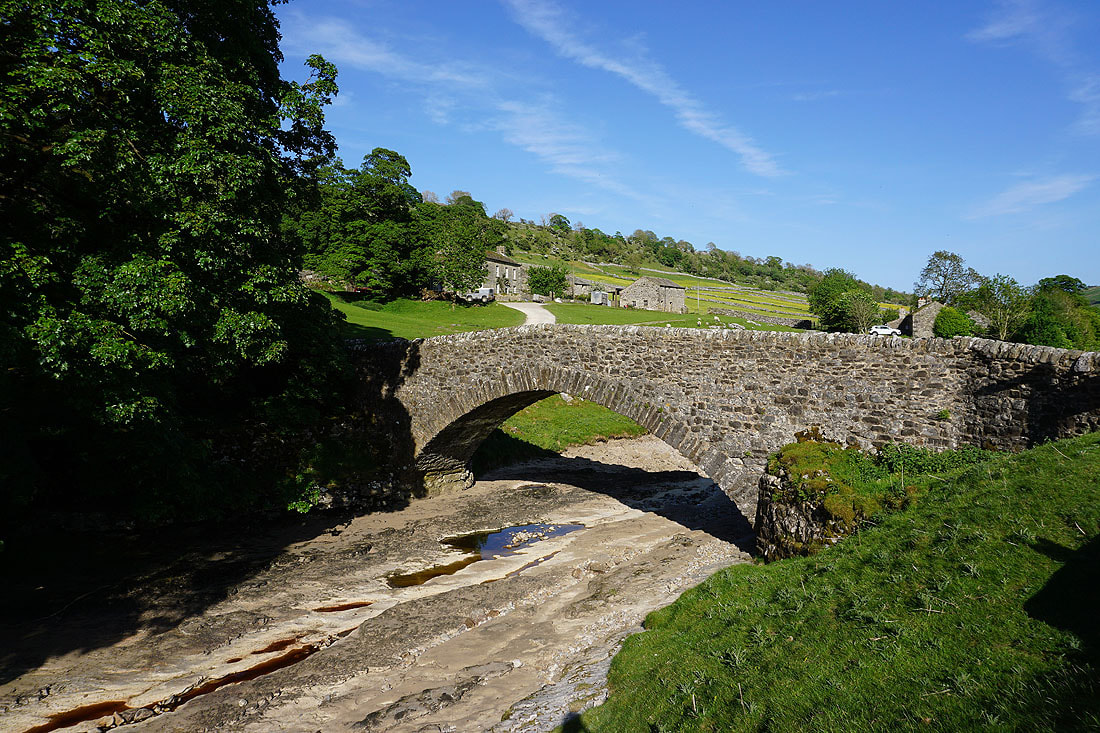
29th May 2023 - Cosh Knott to Horse Head Moor
Walk Details
Distance walked: 14.6 miles
Total ascent: 2627 ft
OS map used: OL30 - Yorkshire Dales, Northern & Central areas & OL2 - Yorkshire Dales, Southern & Western areas
Time taken: 8 hrs
Route description: Yockenthwaite-Dales Way-Deepdale-Deepdale Bridge-Dales Way-Beckermonds-Eller Carr-Halton Gill-Halton Gill Bridge-Foxup-Harrop Barns-Cosh House-Cosh Beck Head-Cosh Knott-High Green Field Knott-Eller Carr Moss-Horse Head Moor-Raisgill Farm-Yockenthwaite
My second walk of the bank holiday weekend, and for my walk further afield I picked a route that I last did back in July 2021 that takes in the moorland around Langstrothdale and the head of Littondale. It has a really nice combination of following paths by the Rivers Wharfe and Skirfare, and in the countryside in Langstrothdale and Littondale, along with taking in the wide open spaces of lonely moors. I had more or less wall-to-wall blue skies and sunshine for this outing, on what was a warm late spring day with a gentle breeze that made it pretty much the ideal day for hill walking. Despite the warmth the visibility was very good and I had great views to enjoy from the tops of the moors, though walking through all the buttercup filled fields in Langstrothdale and Littondale might have been the highlight of the day. The warm and dry weather during the past couple of months has really dried the ground out, which made the moorland part of the walk much easier than it could have been.
From where I parked on the grass verge at Yockenthwaite I crossed the bridge over the River Wharfe and followed the trail of the Dales Way west to Deepdale and on to Beckermonds. Here I left the trail behind and took the footpath across the moor and down to Halton Gill, where I stopped for lunch, sat on a bench on the village green. Break had, I walked down the road to Halton Gill Bridge and took the footpath on the right by the River Skirfare to Foxup, where I joined a track at Foxup Bridge. I then walked west along the track past Bridge Farm and up into Foxup, where I took the footpath north past Harrop Barns and into the valley of Cosh Beck to reach Cosh House. Past Cosh House and there's a quadbike track to follow for a while until this peters out and then I just followed Cosh Beck to its source at Cosh Beck Head. I then made my way through a gate in a wall, north up onto the moor and then west to its end at Cosh Knott and the trig point and pillar there. After a final break here I walked east along the crest of the moor to High Green Field Knott, down to Eller Carr Moss and up onto Horse Head Moor. I was then left with following the bridleway down into Langstrothdale from Horse Head Gate to Raisgill Farm, and a walk along the road to where I was parked near Yockenthwaite.
Total ascent: 2627 ft
OS map used: OL30 - Yorkshire Dales, Northern & Central areas & OL2 - Yorkshire Dales, Southern & Western areas
Time taken: 8 hrs
Route description: Yockenthwaite-Dales Way-Deepdale-Deepdale Bridge-Dales Way-Beckermonds-Eller Carr-Halton Gill-Halton Gill Bridge-Foxup-Harrop Barns-Cosh House-Cosh Beck Head-Cosh Knott-High Green Field Knott-Eller Carr Moss-Horse Head Moor-Raisgill Farm-Yockenthwaite
My second walk of the bank holiday weekend, and for my walk further afield I picked a route that I last did back in July 2021 that takes in the moorland around Langstrothdale and the head of Littondale. It has a really nice combination of following paths by the Rivers Wharfe and Skirfare, and in the countryside in Langstrothdale and Littondale, along with taking in the wide open spaces of lonely moors. I had more or less wall-to-wall blue skies and sunshine for this outing, on what was a warm late spring day with a gentle breeze that made it pretty much the ideal day for hill walking. Despite the warmth the visibility was very good and I had great views to enjoy from the tops of the moors, though walking through all the buttercup filled fields in Langstrothdale and Littondale might have been the highlight of the day. The warm and dry weather during the past couple of months has really dried the ground out, which made the moorland part of the walk much easier than it could have been.
From where I parked on the grass verge at Yockenthwaite I crossed the bridge over the River Wharfe and followed the trail of the Dales Way west to Deepdale and on to Beckermonds. Here I left the trail behind and took the footpath across the moor and down to Halton Gill, where I stopped for lunch, sat on a bench on the village green. Break had, I walked down the road to Halton Gill Bridge and took the footpath on the right by the River Skirfare to Foxup, where I joined a track at Foxup Bridge. I then walked west along the track past Bridge Farm and up into Foxup, where I took the footpath north past Harrop Barns and into the valley of Cosh Beck to reach Cosh House. Past Cosh House and there's a quadbike track to follow for a while until this peters out and then I just followed Cosh Beck to its source at Cosh Beck Head. I then made my way through a gate in a wall, north up onto the moor and then west to its end at Cosh Knott and the trig point and pillar there. After a final break here I walked east along the crest of the moor to High Green Field Knott, down to Eller Carr Moss and up onto Horse Head Moor. I was then left with following the bridleway down into Langstrothdale from Horse Head Gate to Raisgill Farm, and a walk along the road to where I was parked near Yockenthwaite.
Route map
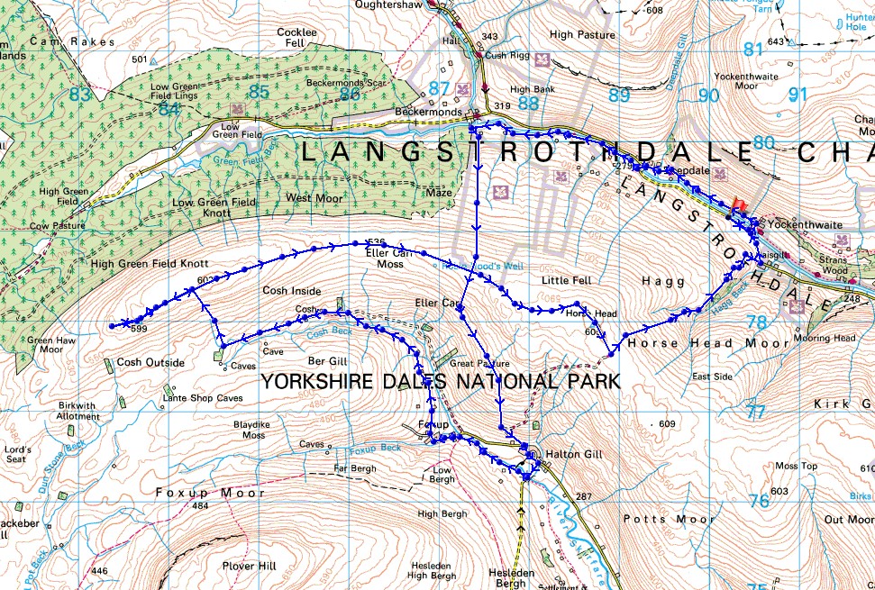
© Crown copyright. All rights reserved. License number PU 100034184.
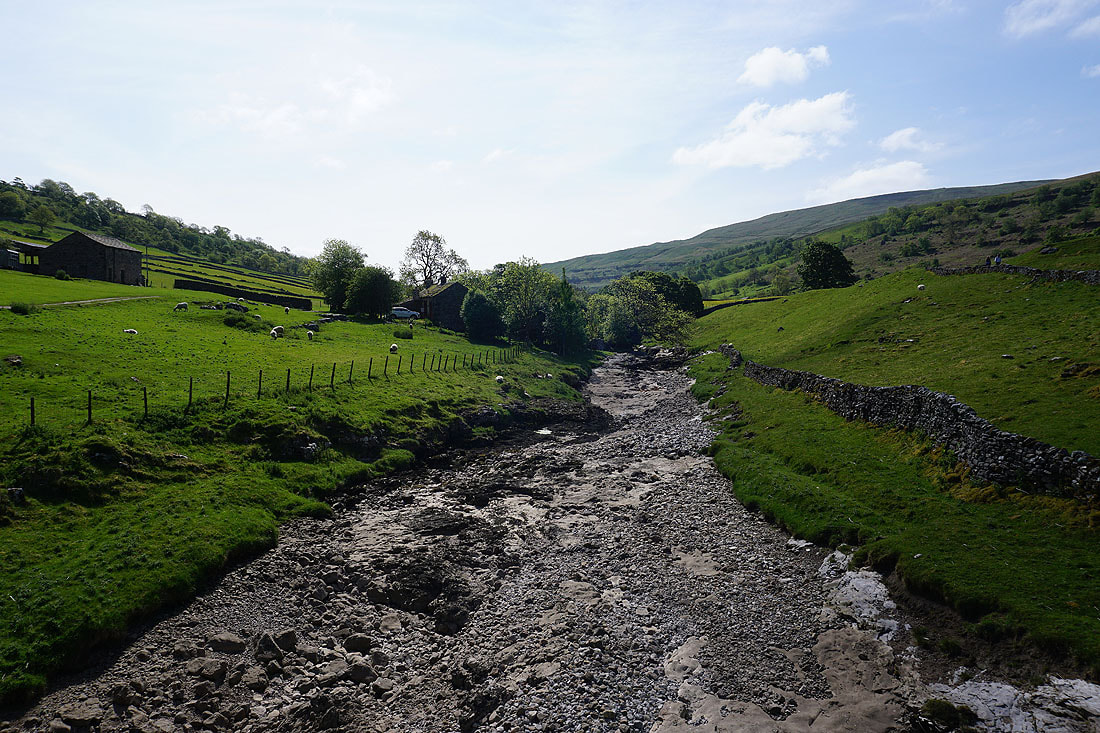
A dry riverbed as I cross the bridge over the River Wharfe at Yockenthwaite
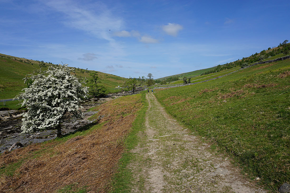
I'll now follow the Dales Way west by the north bank of the Wharfe to Deepdale....
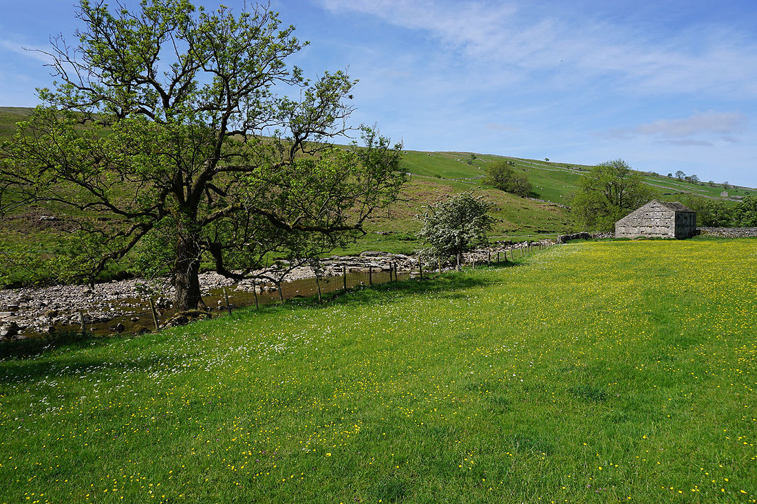
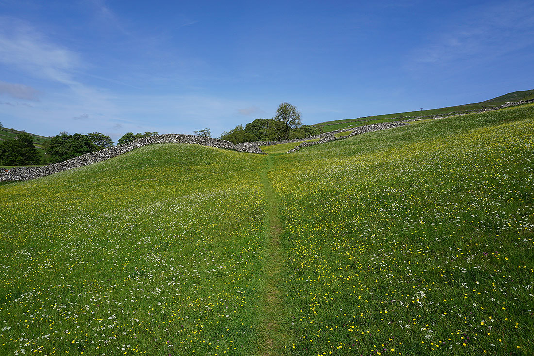
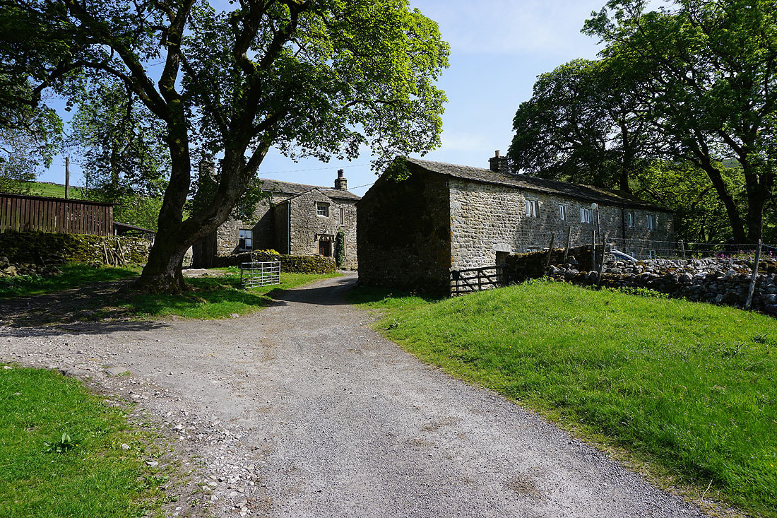
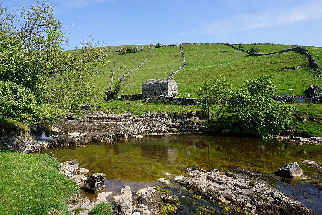
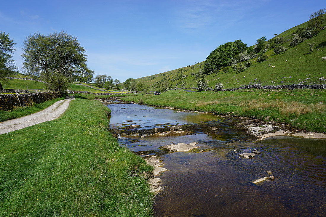
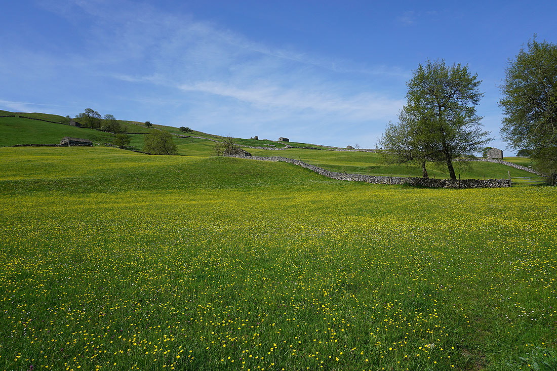
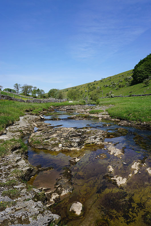
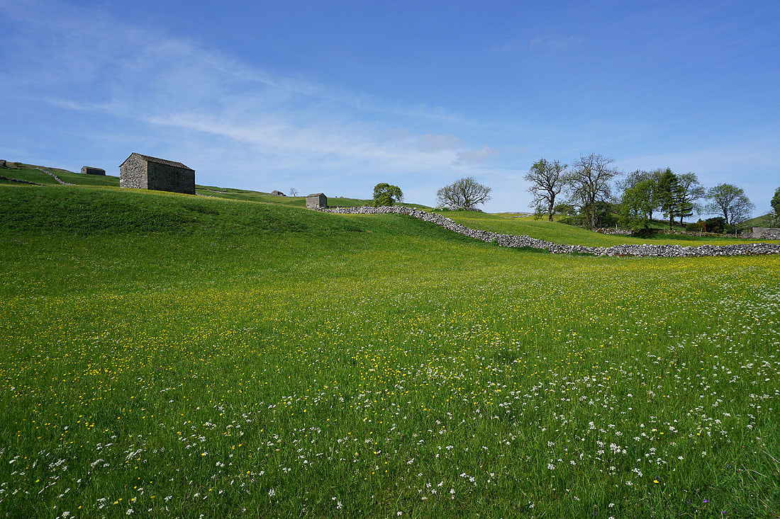
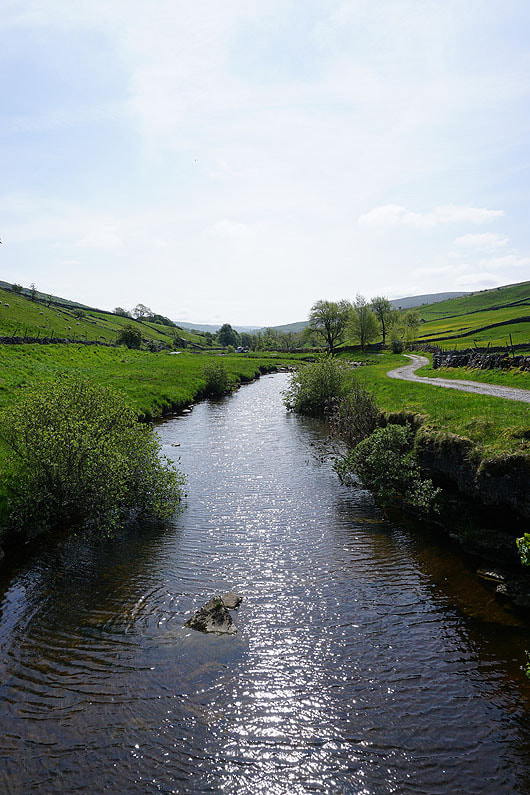
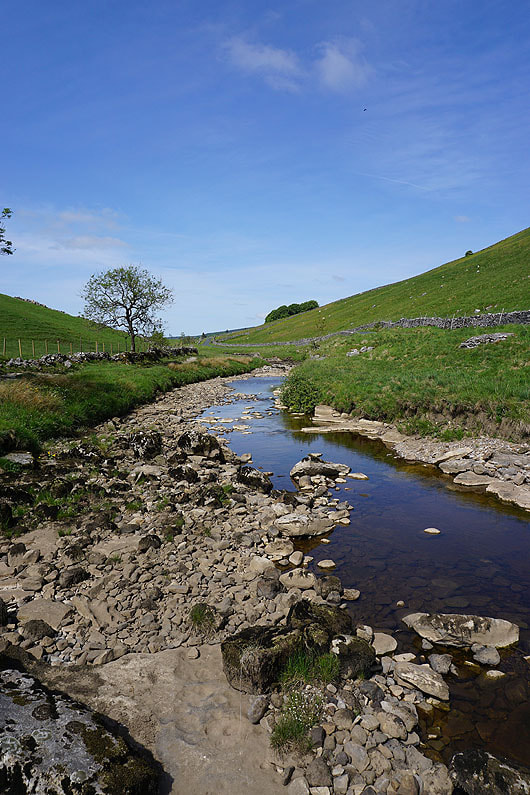
At Deepdale the trail crosses Deepdale Bridge and continues west by the south bank of the Wharfe to Beckermonds. Fantastic scenery on a glorious morning.........
|
|
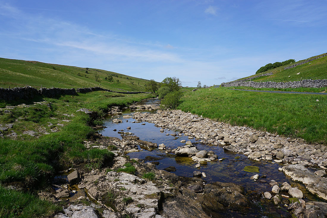
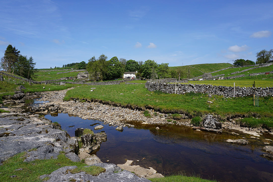

At Beckermonds Greenfield Beck and Oughtershaw Beck meet and the River Wharfe begins
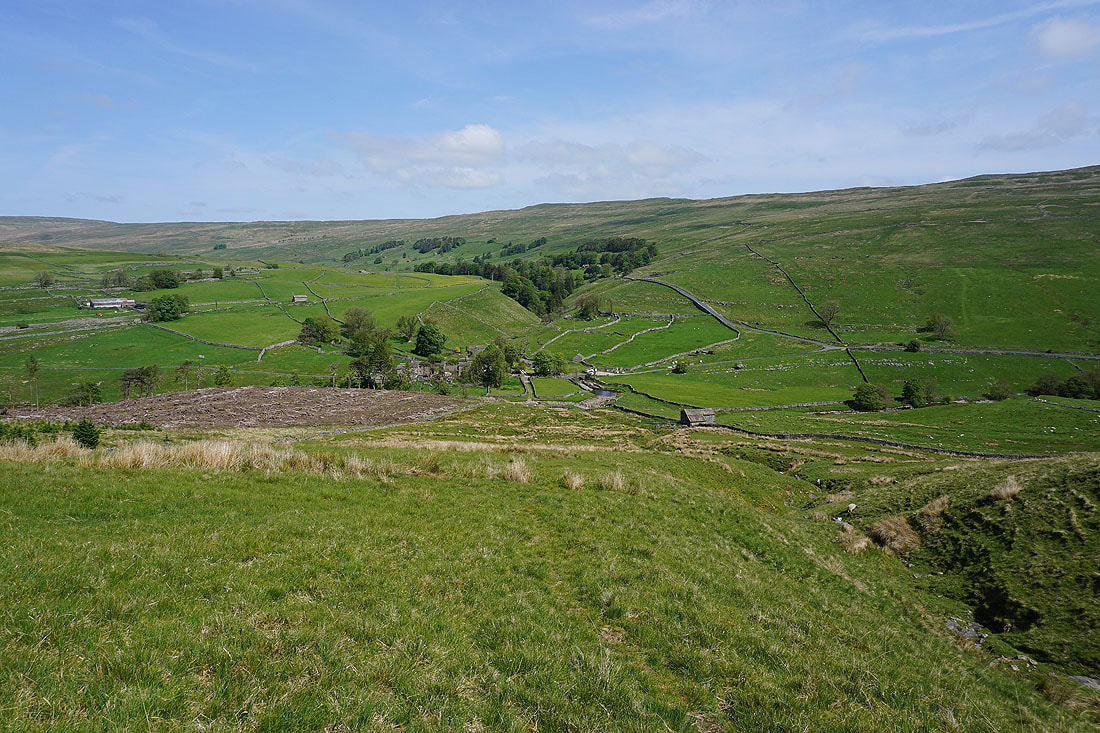
Leaving Beckermonds and Langstrothdale behind as I take the footpath across the shoulder of Horse Head Moor to Halton Gill...

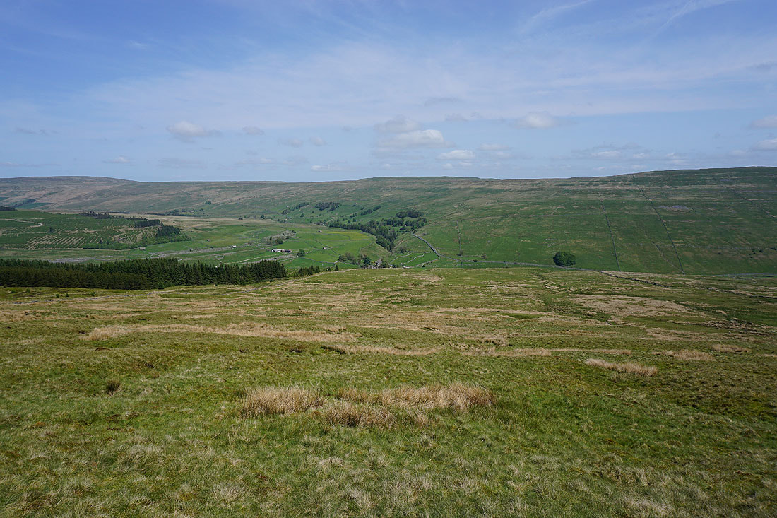
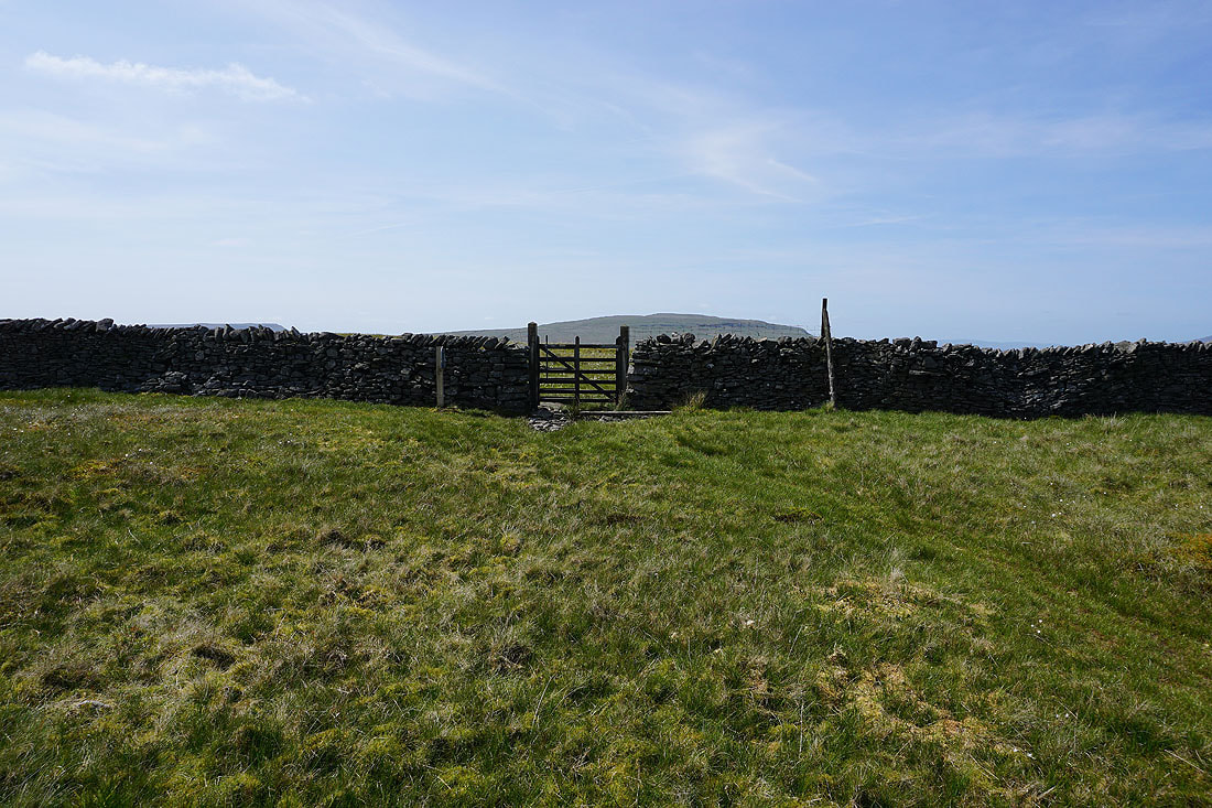
As the footpath reaches the top of the moor it goes through a gate to begin its descent to Halton Gill
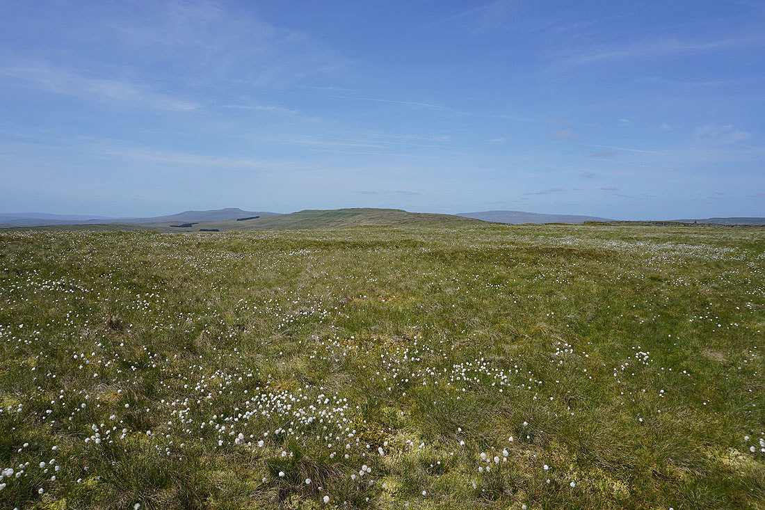
Looking across a sea of cotton grass to Ingleborough, High Green Field Knott and Whernside
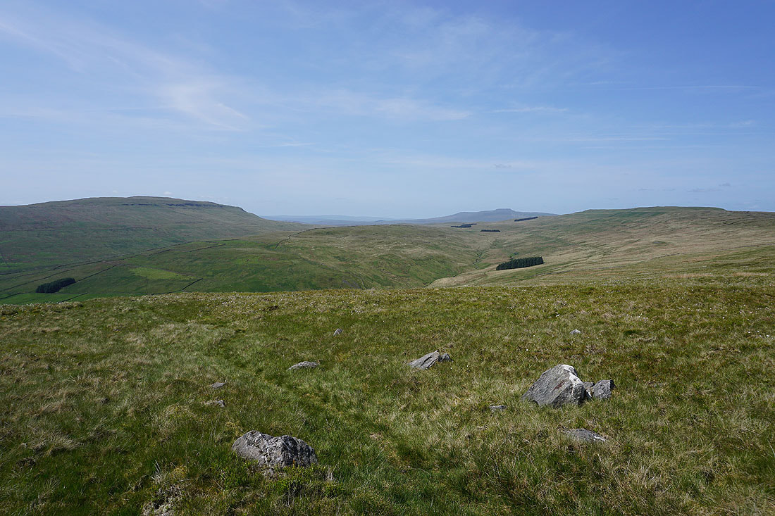
Plover Hill, Blaydike Moss, the valley of Cosh Beck, Ingleborough, and High Green Field Knott
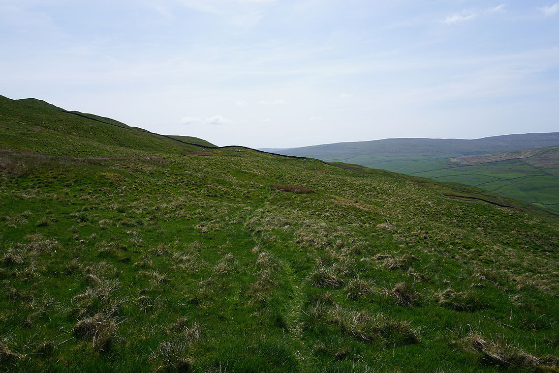
Heading down across the moor, with Fountains Fell and Plover Hill to my right..
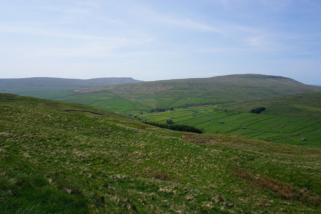
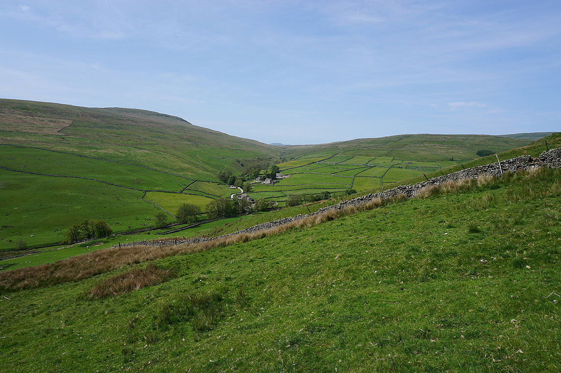
The hamlet of Foxup from the bridleway down to Halton Gill
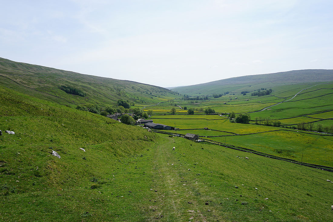
Heading down to Halton Gill and Littondale. I think it's time for a break.
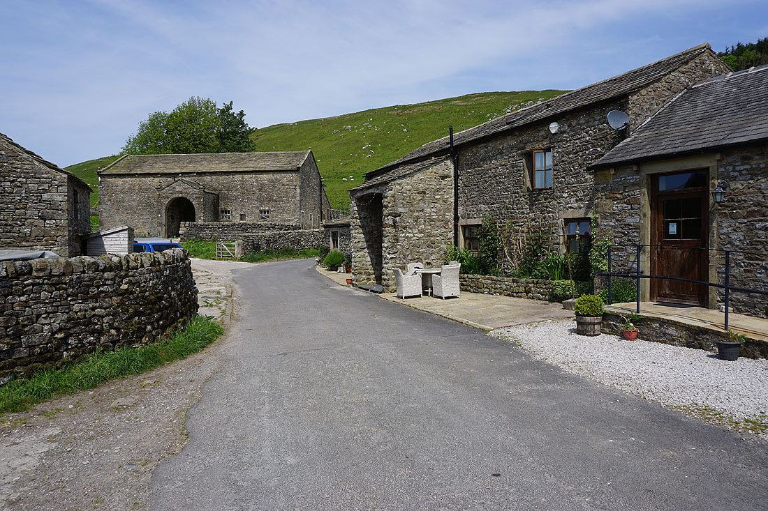
In the hamlet of Halton Gill
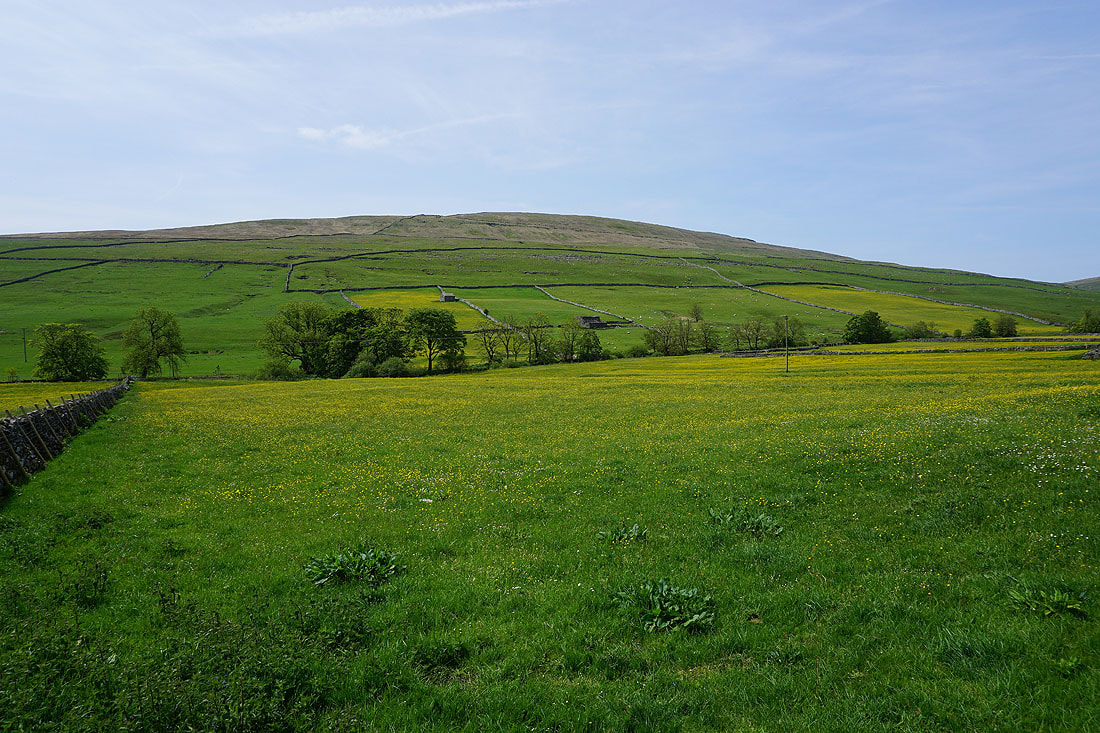
Buttercup filled fields surround Halton Gill..
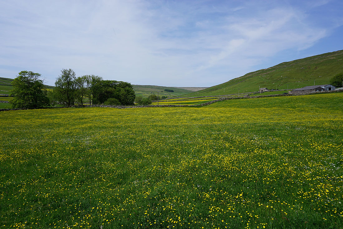
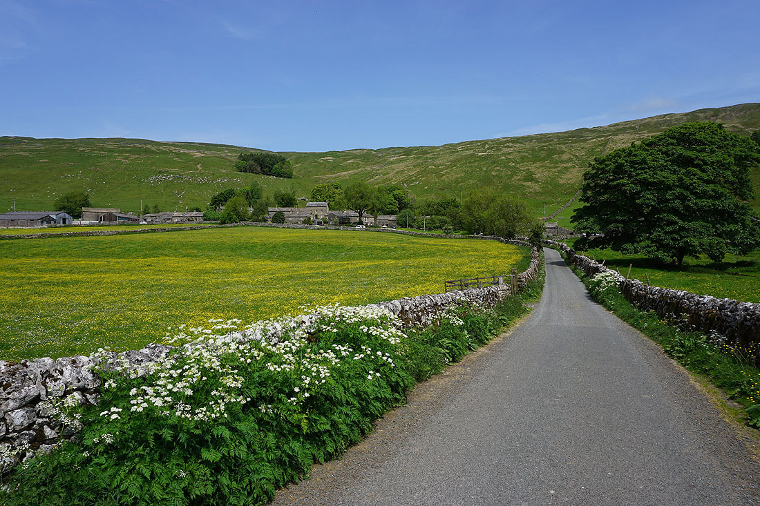
Much needed break had, looking back to Halton Gill as I head down to Halton Gill Bridge

The River Skirfare from Halton Gill Bridge
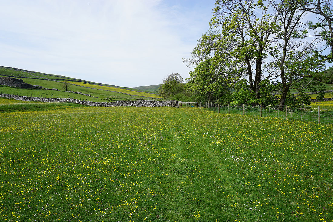
Fields of buttercups to walk through as I take the footpath from Halton Gill Bridge to Foxup...
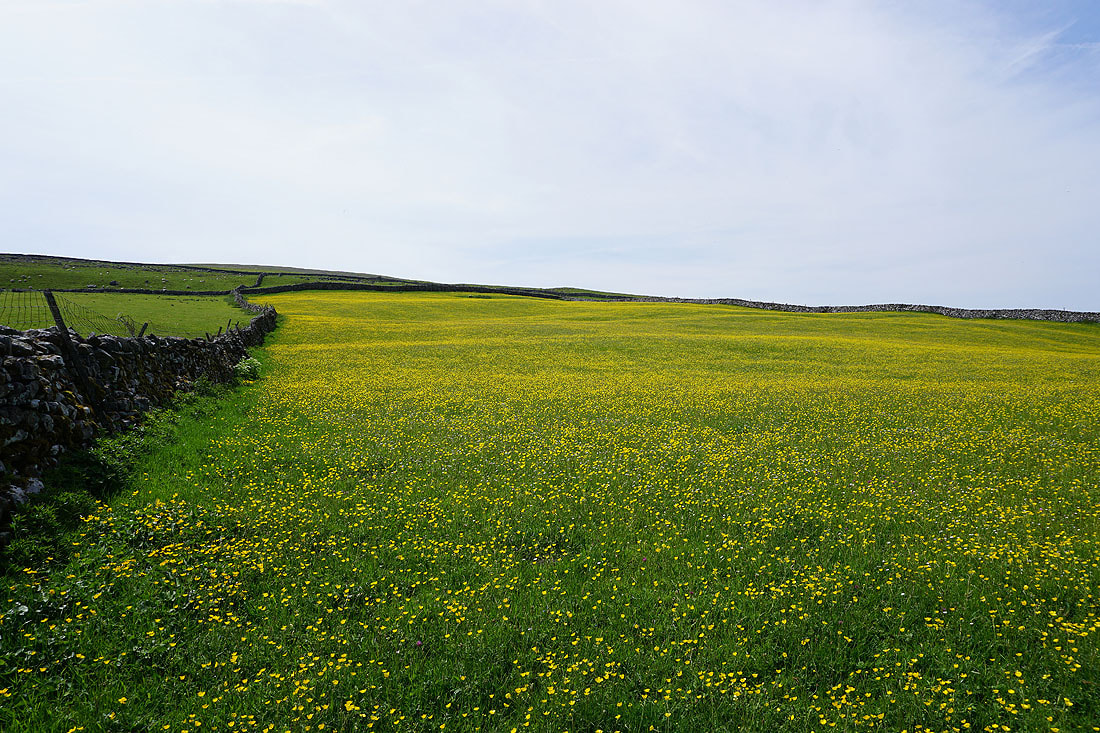
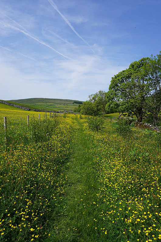

Looking across the River Skirfare to Halton Gill
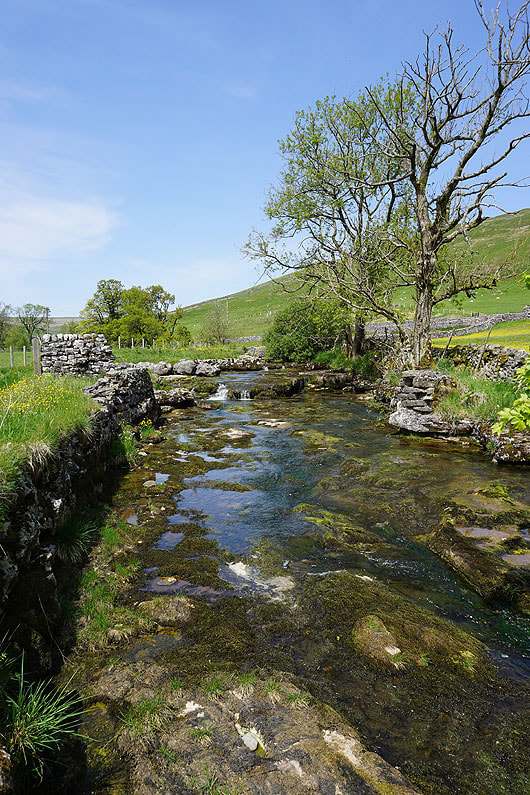
By the River Skirfare
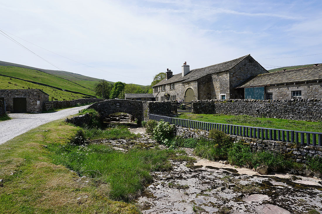
Passing Bridge Farm in Foxup
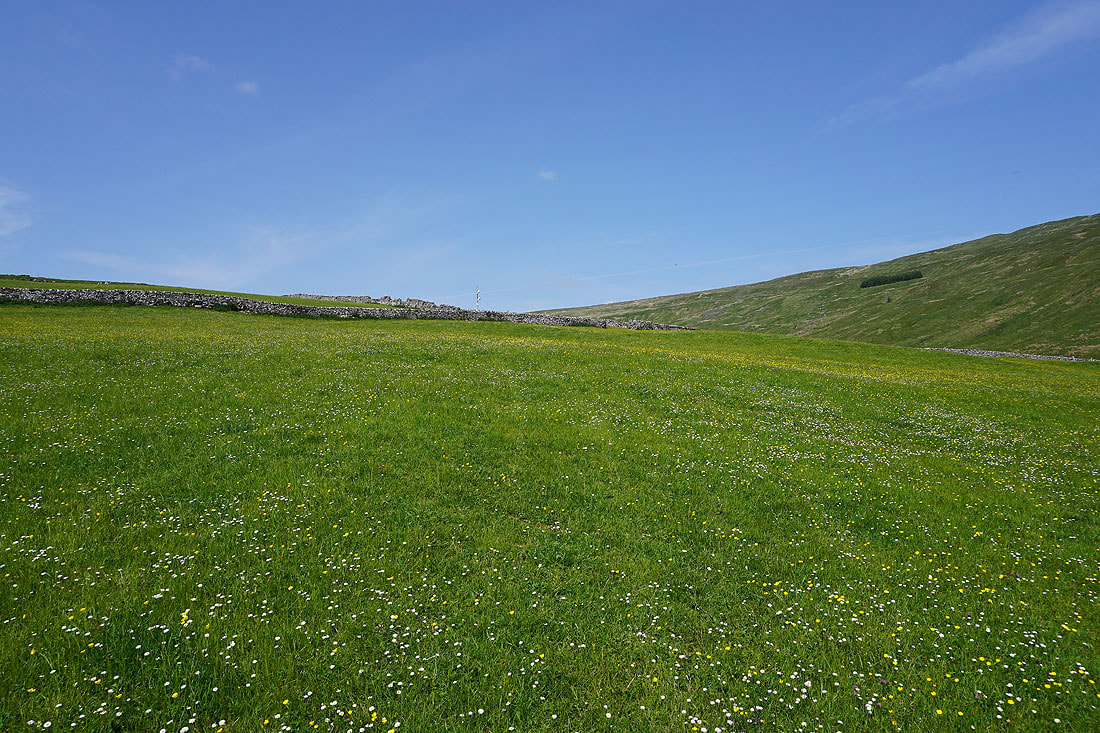
A daisy and buttercup filled field to walk through as I take the footpath up into the valley of Cosh Beck
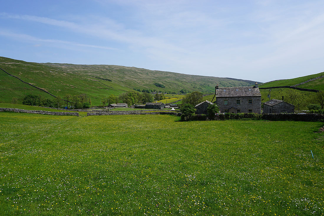
Looking back to Foxup, and down into Littondale
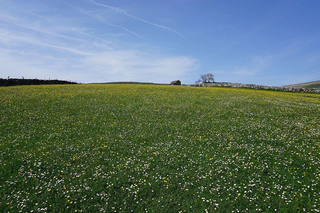
This field full of daisies and buttercups was begging to have its picture taken
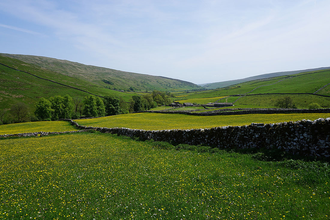
A couple more photos looking back to Foxup and down into Littondale..
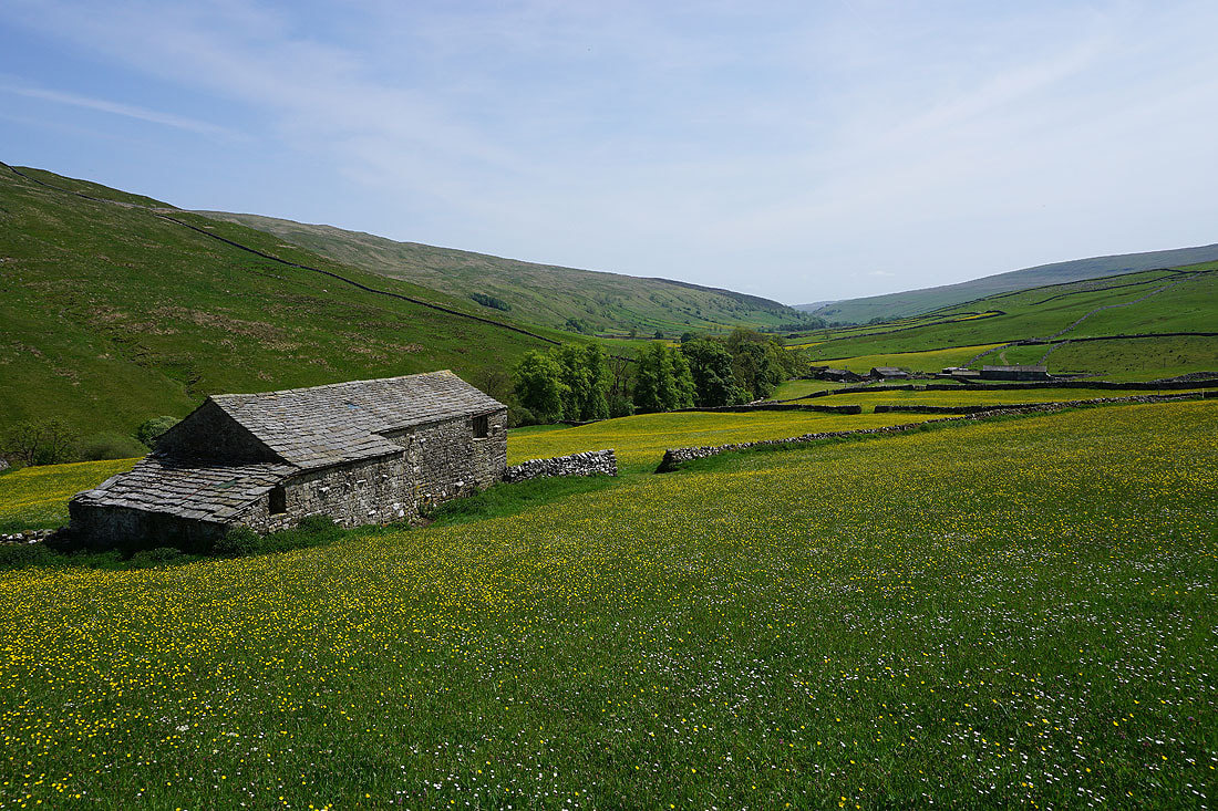

This footpath mustn't be used that much, as there's no obvious line to follow across the fields
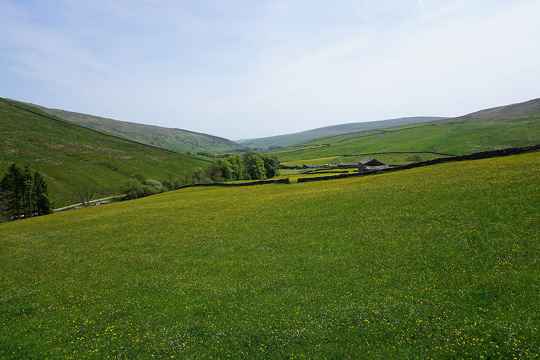
A last look back towards Littondale, it will soon disappear from view
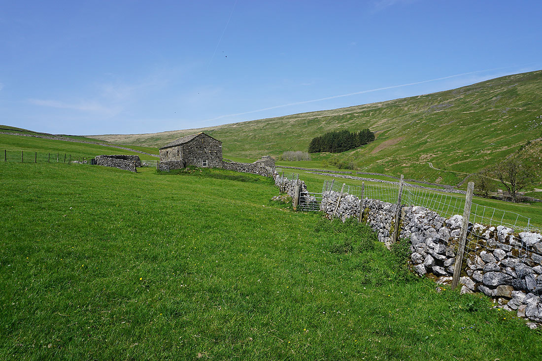
The path then passes Harrop Barns..
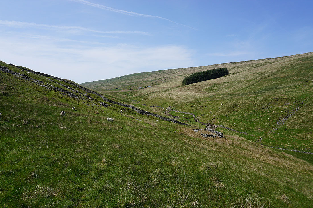
..and crosses the hillside above Cosh Beck towards Cosh House
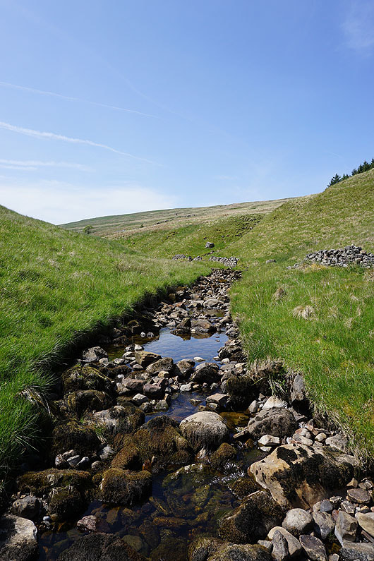
Crossing Cosh Beck, which looks a bit on the low side
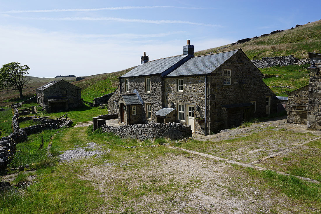
At Cosh House. I'm going to go through the gate to the right of the outbuilding.
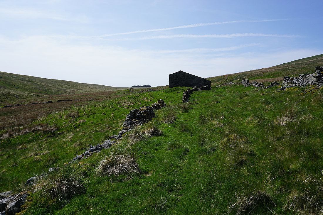
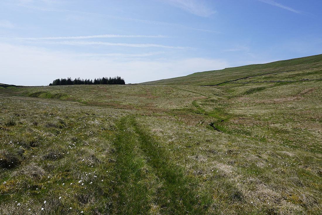
From Cosh House I have a thin trod to follow up to Cosh Beck Head at the stand of trees on the horizon..
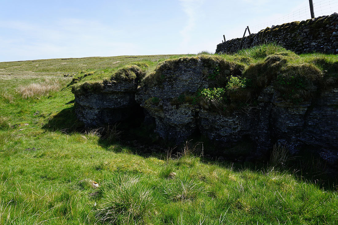
One of the caves at Cosh Beck Head
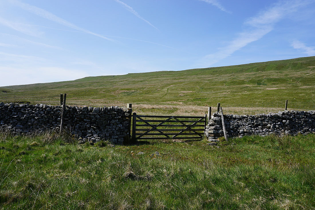
Through the gate and up the hillside. I'll use the quadbike track that I can see.
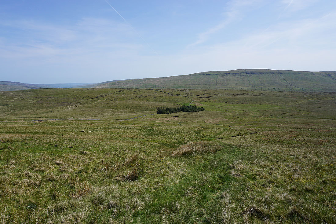
Looking back down to Cosh Beck Head as I make my way up onto High Green Field Knott
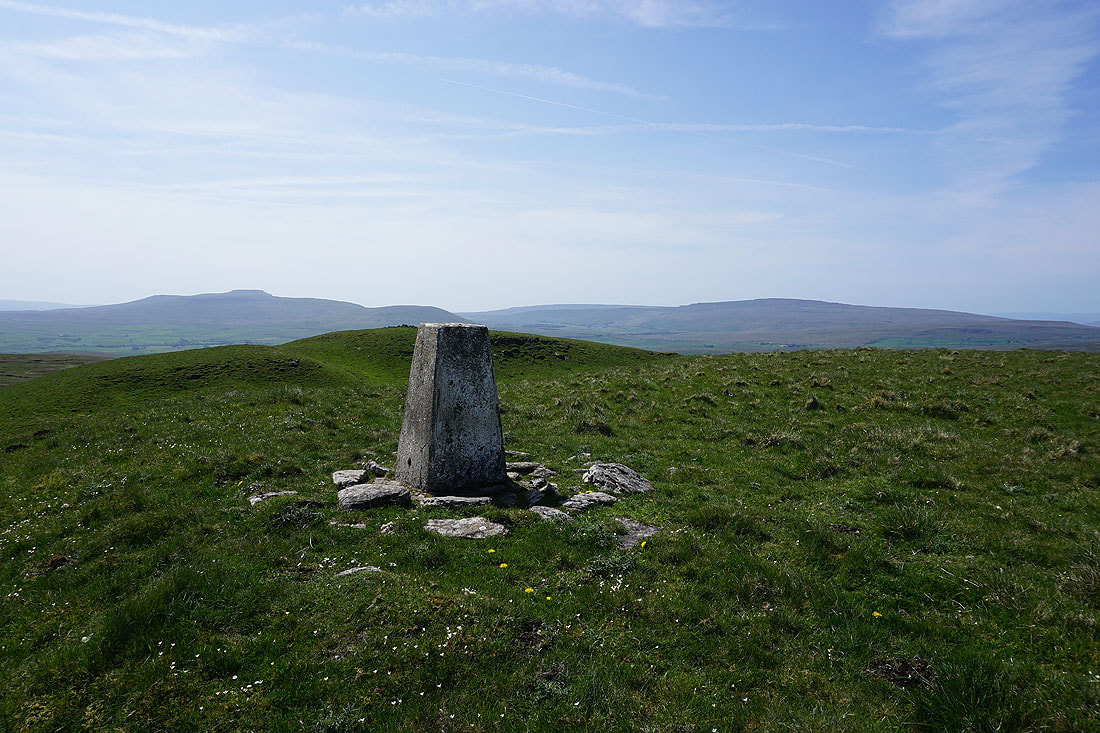
I finally make it up to the trig point on Cosh Knott. Looking west across Ribblesdale to Ingleborough and Whernside.
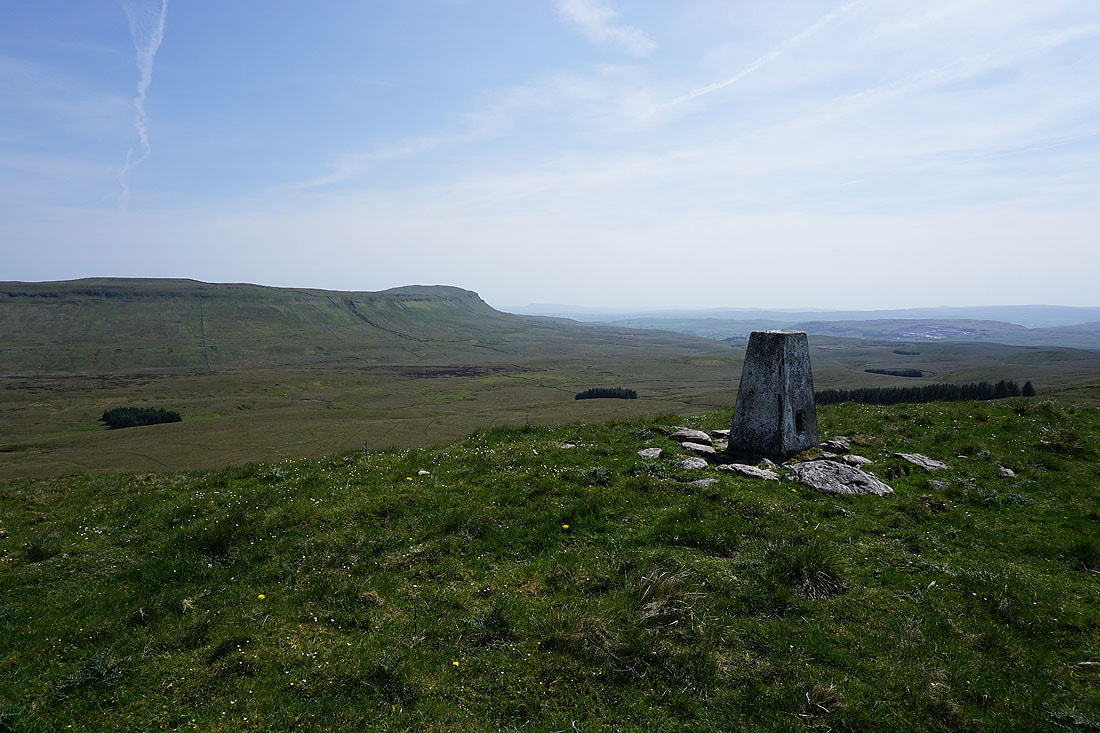
Plover Hill and Penyghent to the south, and I can make out Pendle Hill in the distance to the right of Penyghent

Looking towards the moors around the head of Littondale
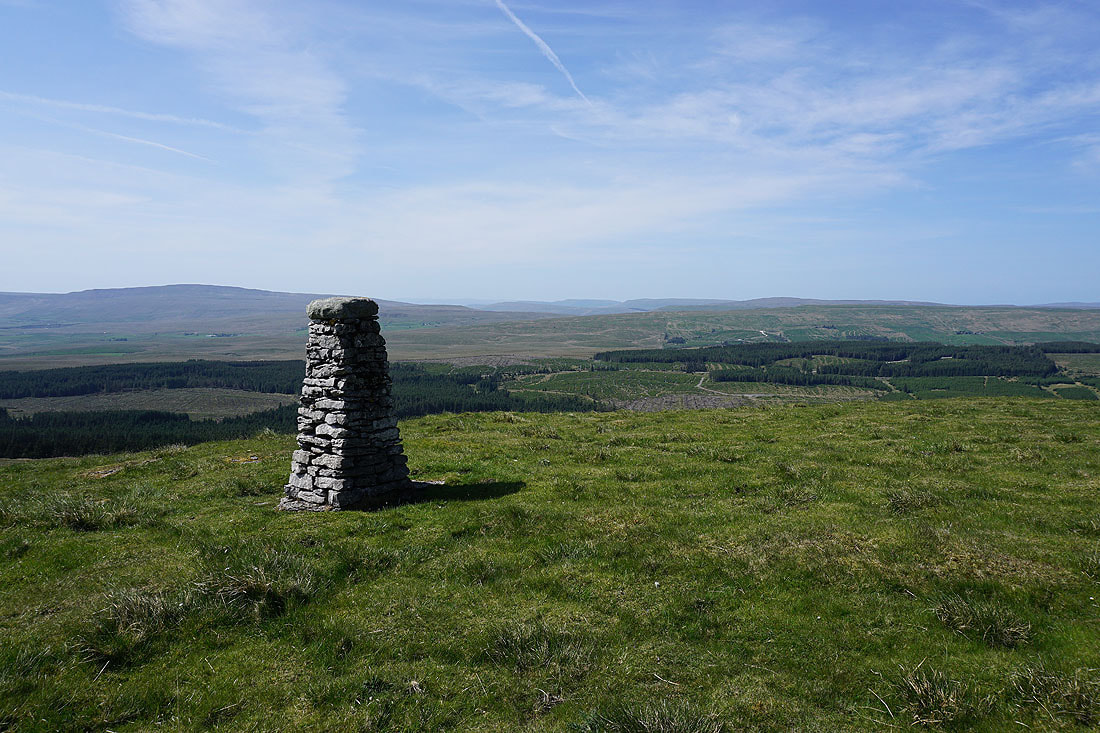
Arriving at the stone pillar above Ribblesdale that marks the western end of this moorland ridge. It's a fairly short walk from the trig point to reach it, but I was in two minds about whether to make the effort or not. Whernside, Aye Gill Pike, the Howgills, Baugh Fell and Great Knoutberry Hill to the northwest. I can make out a few of the Lake District fells in the far distance to the right of Whernside.
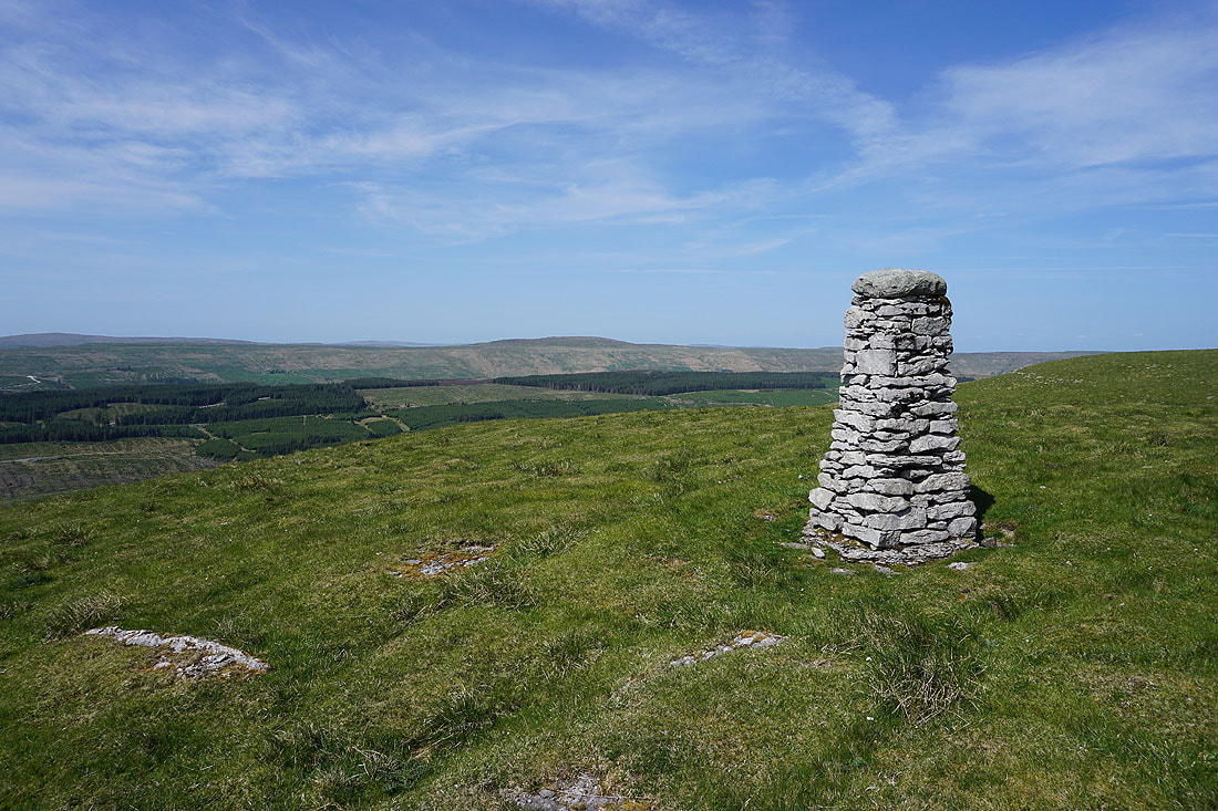
Dodd Fell Hill to the north
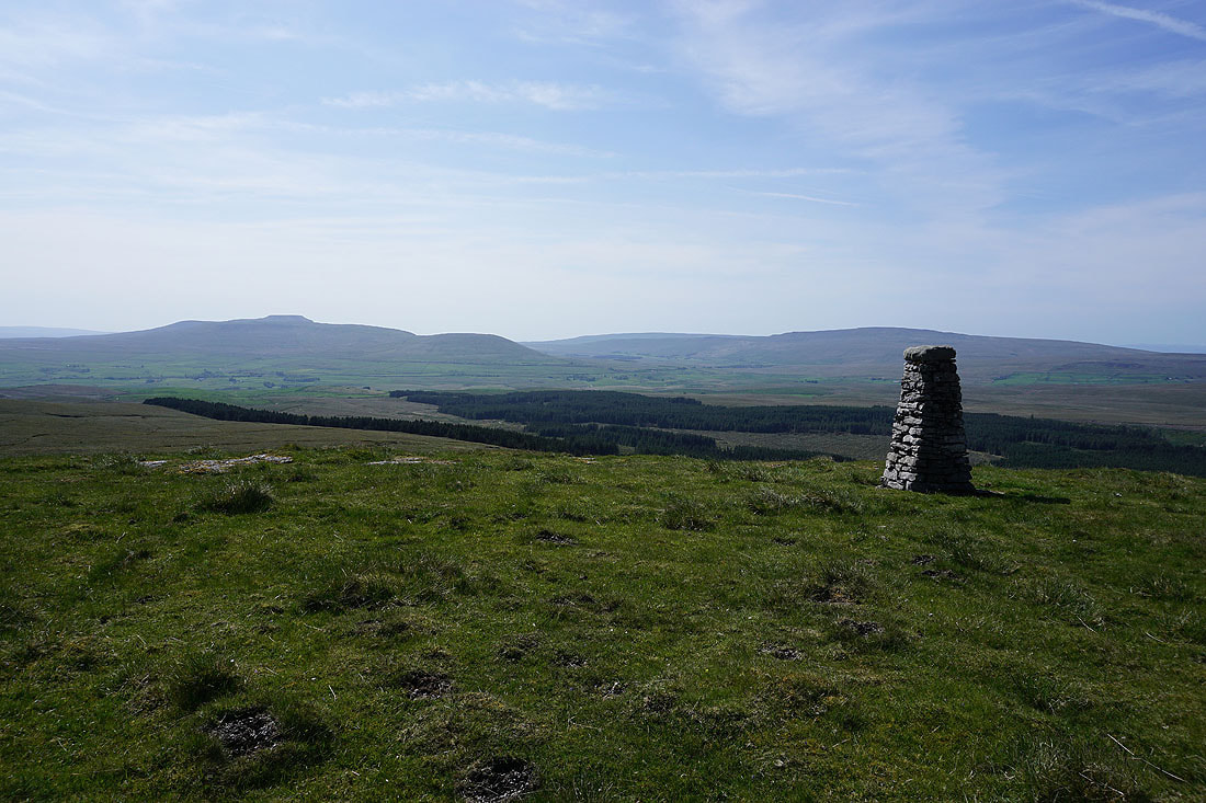
Looking west to Ingleborough and Whernside
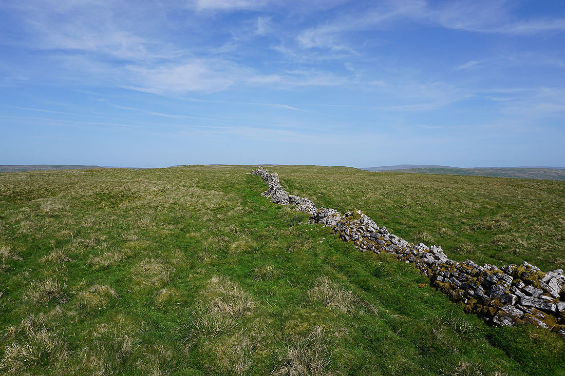
From the stone pillar I returned to the trig point, and now I'm following the wall east along the top of the moor to High Green Field Knott
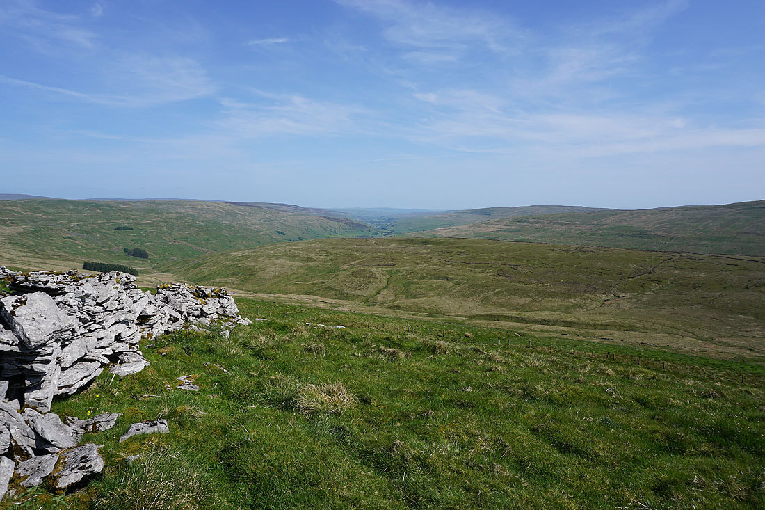
A view down Littondale from High Green Field Knott
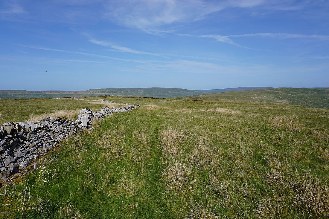
Yockenthwaite Moor and Buckden Pike to the east, beyond the moorland ridge to Horse Head Moor
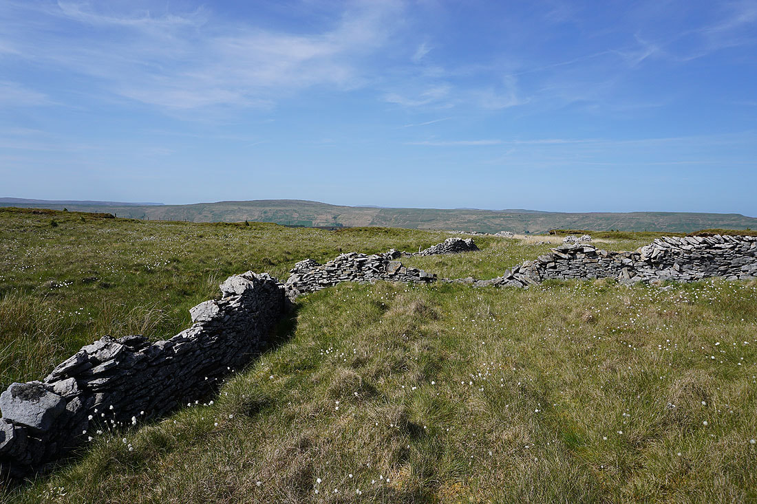
Dodd Fell Hill on the other side of Langstrothdale
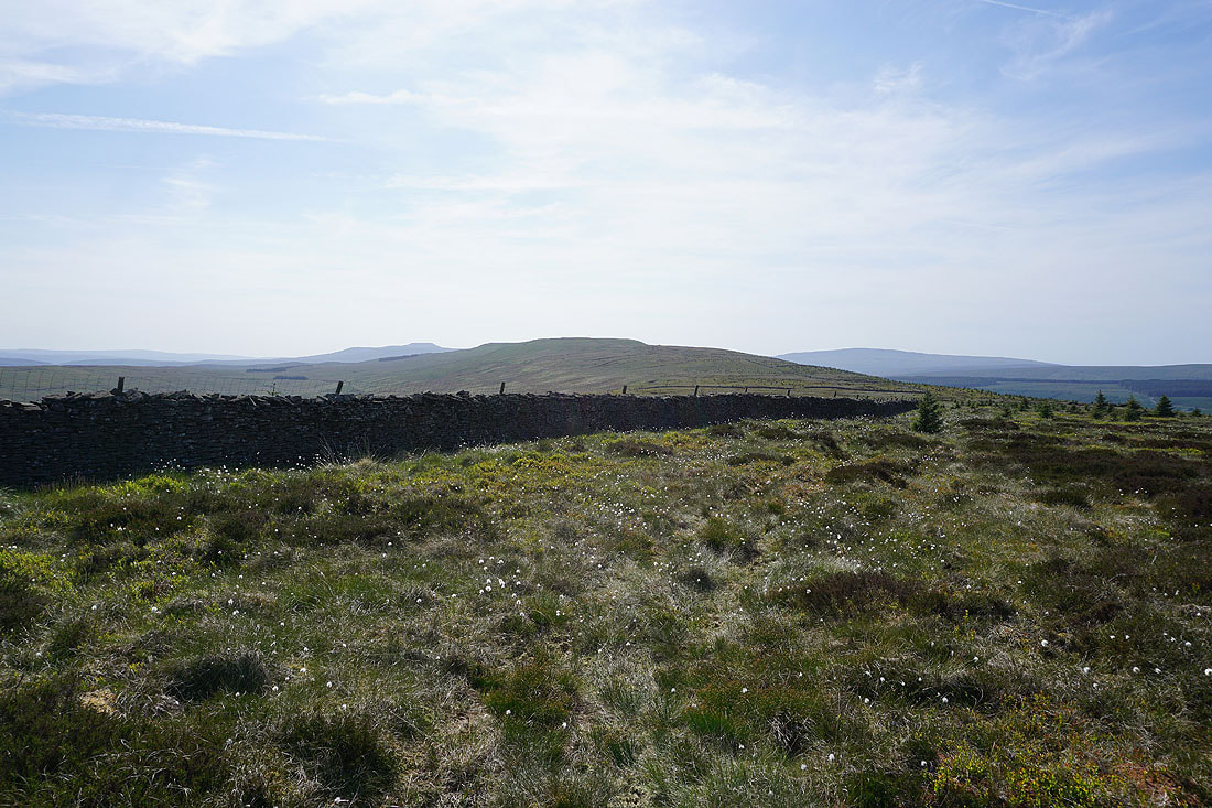
Looking back to High Green Field Knott with Ingleborough and Whernside in the distance
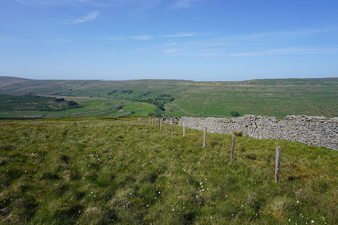
I must be getting close to where I crossed this moor earlier in the day. To my left I can see down into Langstrothdale to Oughtershaw and Beckermonds.
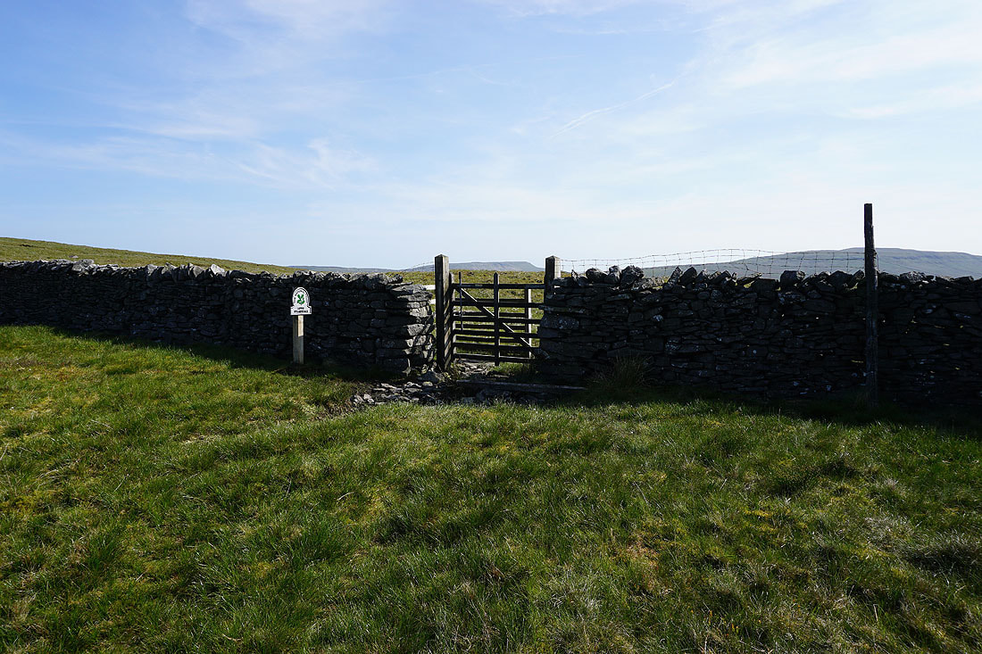
Back at where I was earlier in the day, at the point where the path from Beckermonds crosses the moor to Halton Gill. It passes through the gate in the wall.
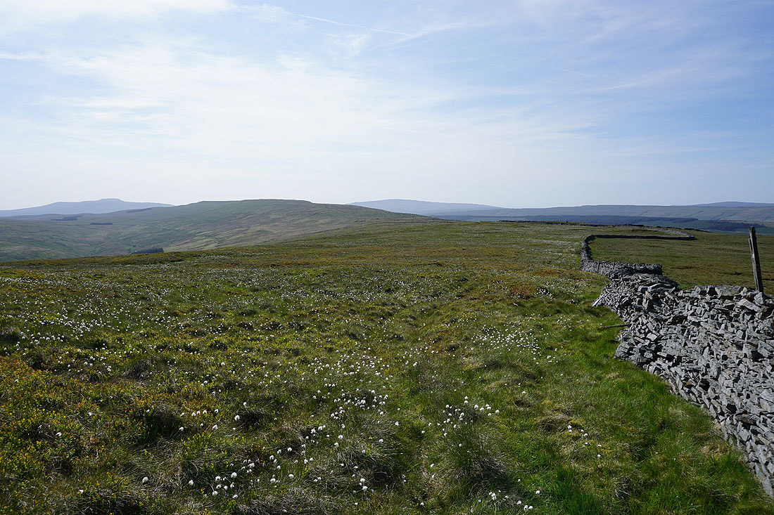
Looking back to High Green Field Knott, with Ingleborough and Whernside in the distance as I make my way up Horse Head Moor

The trig point on Horse Head Moor is now in sight
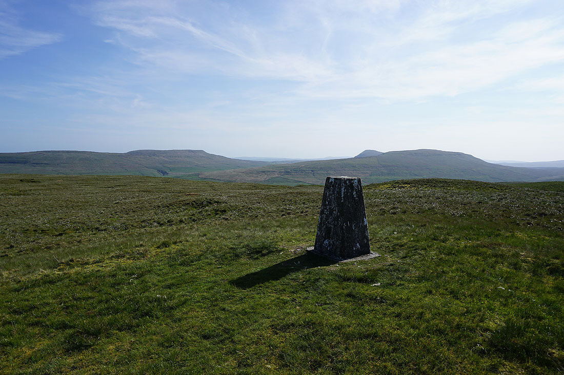
Fountains Fell, Penyghent and Plover Hill from Horse Head Moor

The view west to Ingleborough and Whernside in the distance. There's a nice light on the moors at the end of the afternoon.
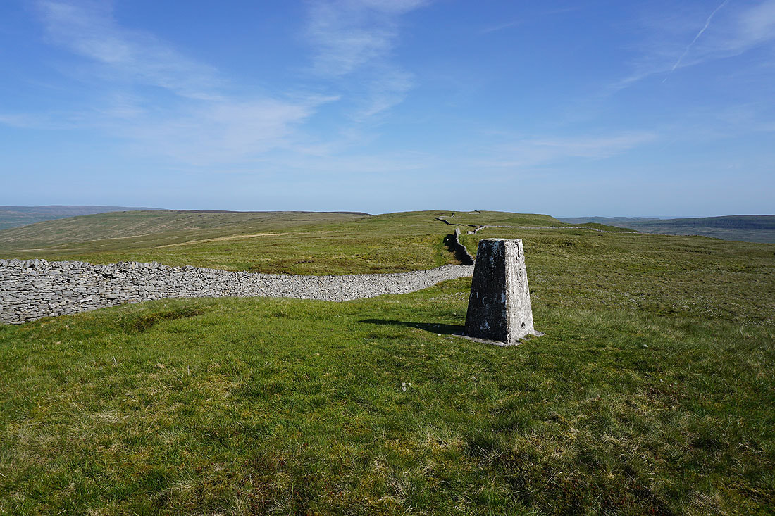
The moorland ridge heads southeast towards Birks Fell
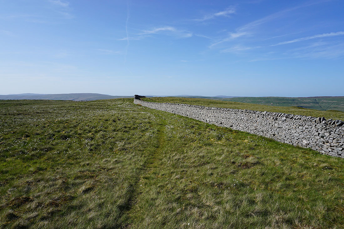
Looking north to Dodd Fell Hill on the left, and I can make out the tops of Great Shunner Fell and Lovely Seat in the far distance
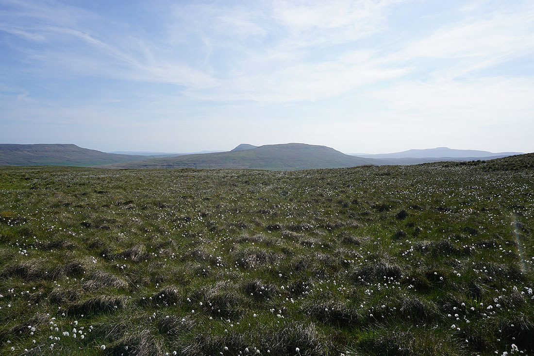
Fountains Fell, Penyghent, Plover Hill, and Ingleborough across a sea of cotton grass

Great views down Langstrothdale to Buckden Pike as I follow the bridleway down to Yockenthwaite..
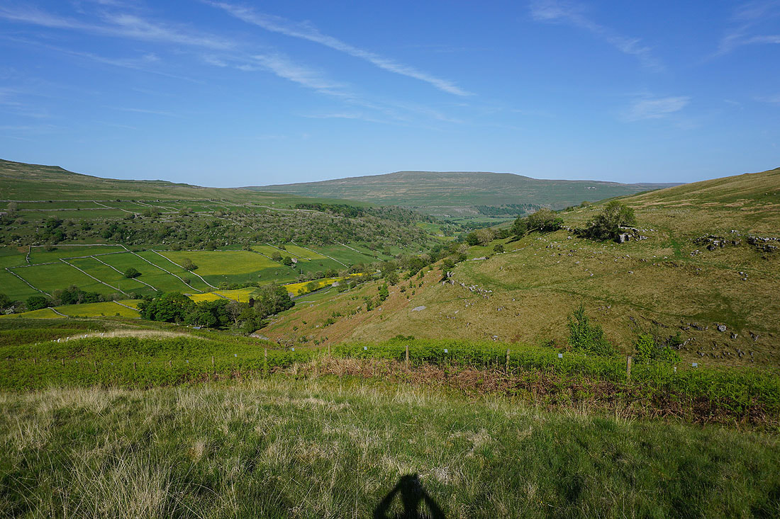
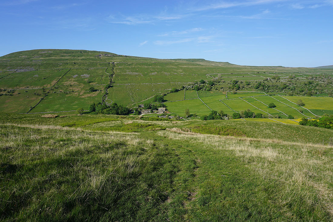
Yockenthwaite finally appears below
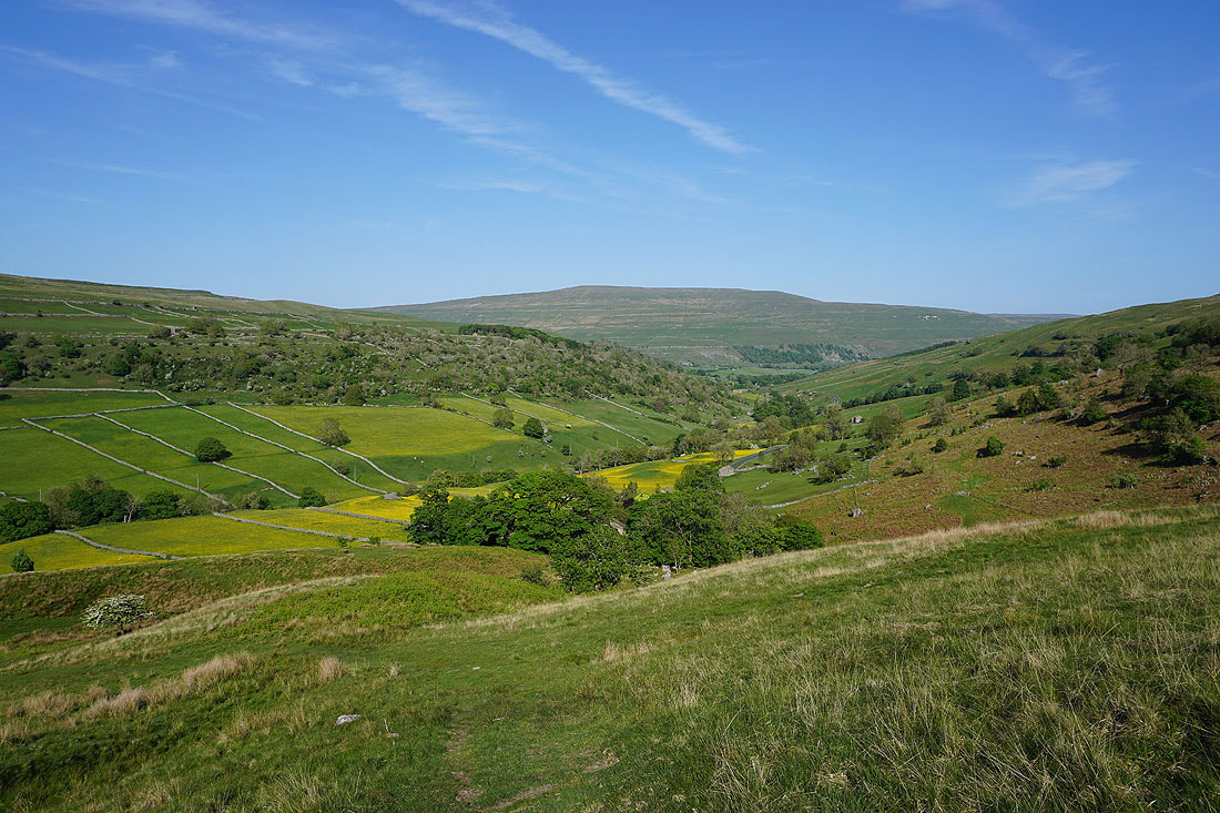
One last shot of the view down Langstrothdale. Just look at all those fields of buttercups.
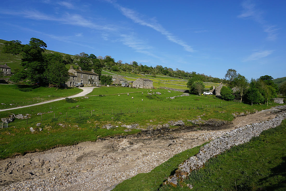
Back at Yockenthwaite at the end of a great day on the fells..