29th November 2012 - Ingleborough
Walk Details
Distance walked: 9.9 miles
Total ascent: 2227 ft
OS map used: OL2 - Yorkshire Dales, Southern & Western areas
Time taken: 6 hrs
Route description: Clapham-Clapdale-Trow Gill-Little Ingleborough-Ingleborough-Simon Fell Breast-Long Scar-Long Lane-Clapham
Fantastic weather for this ascent of Ingleborough. Excellent visibility with great all round views but it was near the end of the walk with the low sun giving superb light and shadows across the landscape that was the highlight of the day. My youngest brother Andy joined me for this walk.
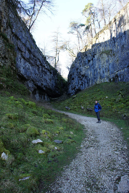
We left Clapham by the track to Clapdale Farm. Once we reached the farm, we went through the farmyard and then down to the valley of Trow Gill. Once out of Trow Gill we crossed the moorland to climb Ingleborough via Little Ingleborough. Our route back was across Simon Fell Breast, the limestone pavement of Sulber and down the track of Long Lane.
Total ascent: 2227 ft
OS map used: OL2 - Yorkshire Dales, Southern & Western areas
Time taken: 6 hrs
Route description: Clapham-Clapdale-Trow Gill-Little Ingleborough-Ingleborough-Simon Fell Breast-Long Scar-Long Lane-Clapham
Fantastic weather for this ascent of Ingleborough. Excellent visibility with great all round views but it was near the end of the walk with the low sun giving superb light and shadows across the landscape that was the highlight of the day. My youngest brother Andy joined me for this walk.
We left Clapham by the track to Clapdale Farm. Once we reached the farm, we went through the farmyard and then down to the valley of Trow Gill. Once out of Trow Gill we crossed the moorland to climb Ingleborough via Little Ingleborough. Our route back was across Simon Fell Breast, the limestone pavement of Sulber and down the track of Long Lane.
Route map
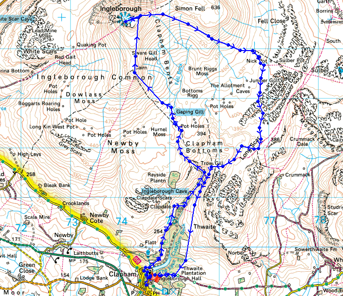
© Crown copyright. All rights reserved. License number PU 100034184.
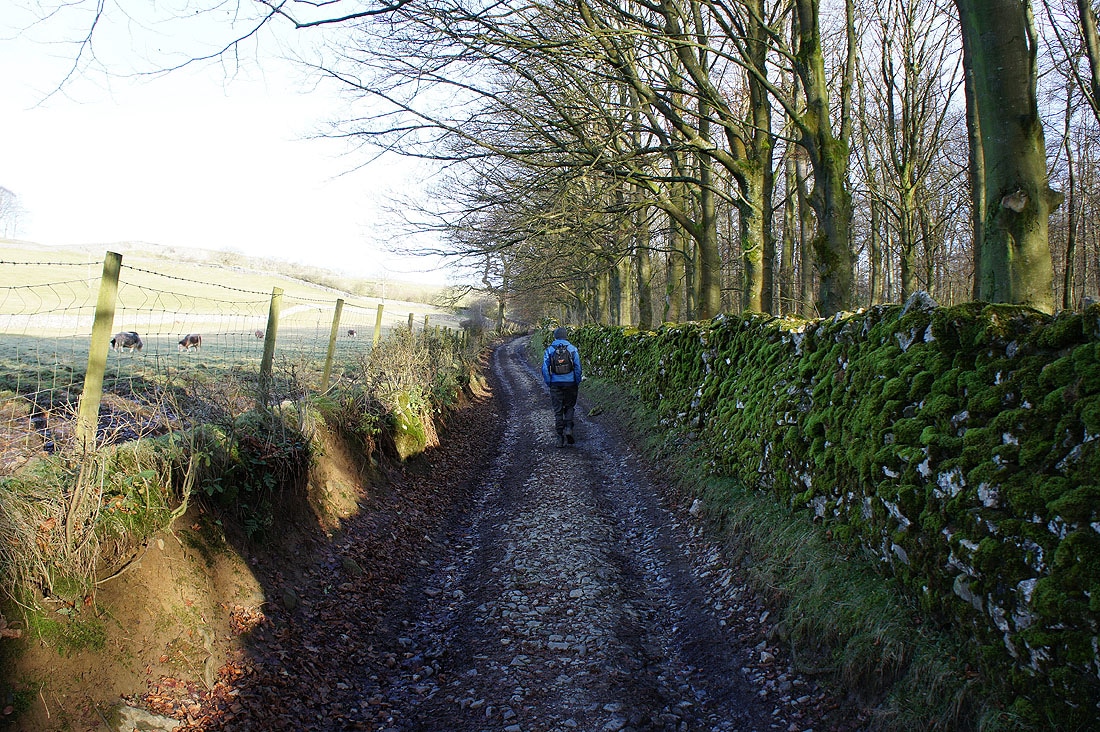
We've left Clapham by this track to Clapdale Farm that also takes you to Ingleborough Cave and Trow Gill
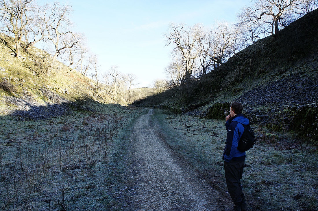
Heading up Trow Gill
The final section awaits
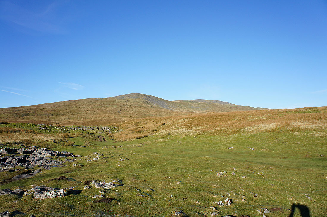
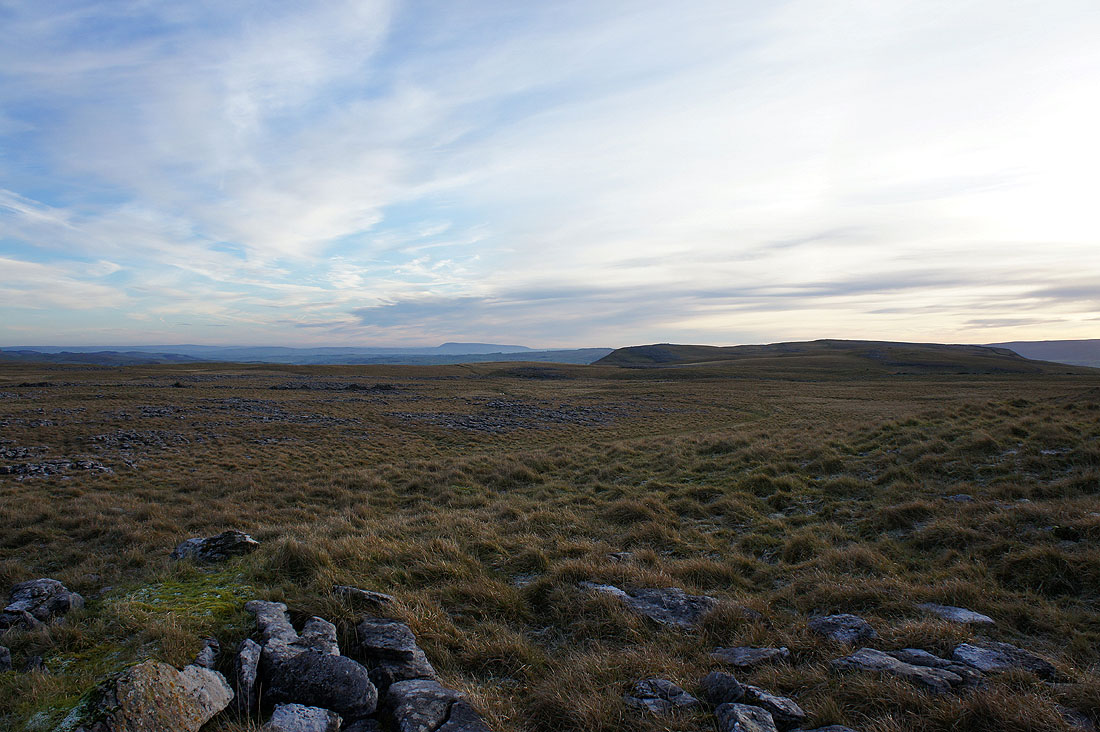
Our first view of Ingleborough
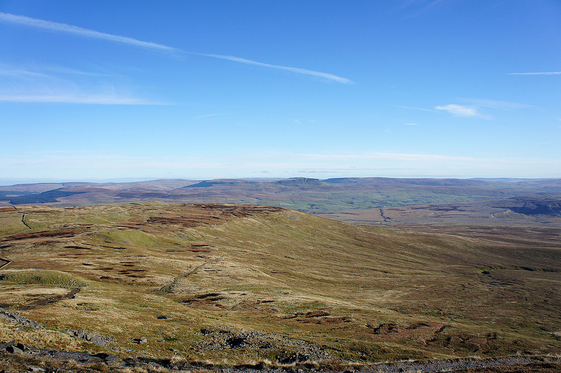
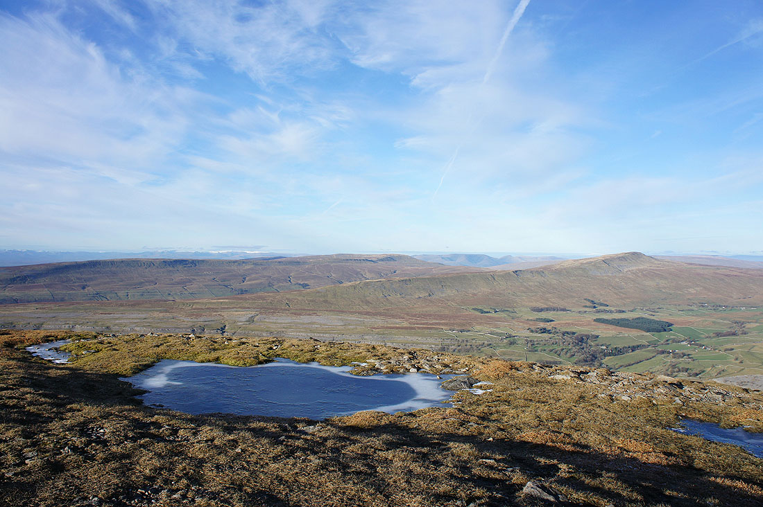
On Little Ingleborough looking across to Penyghent and Fountains Fell
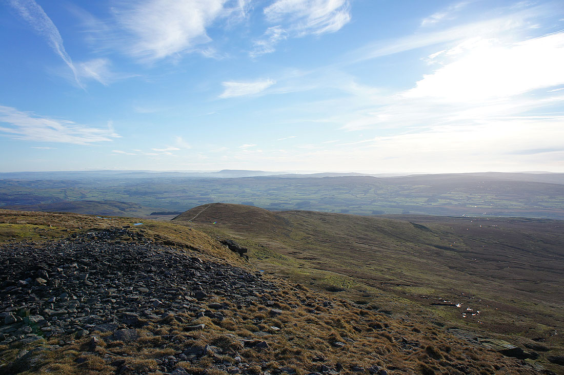
Pendle Hill in the distance
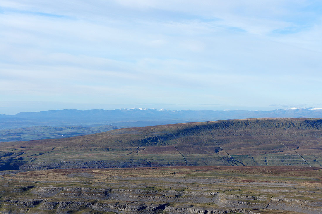
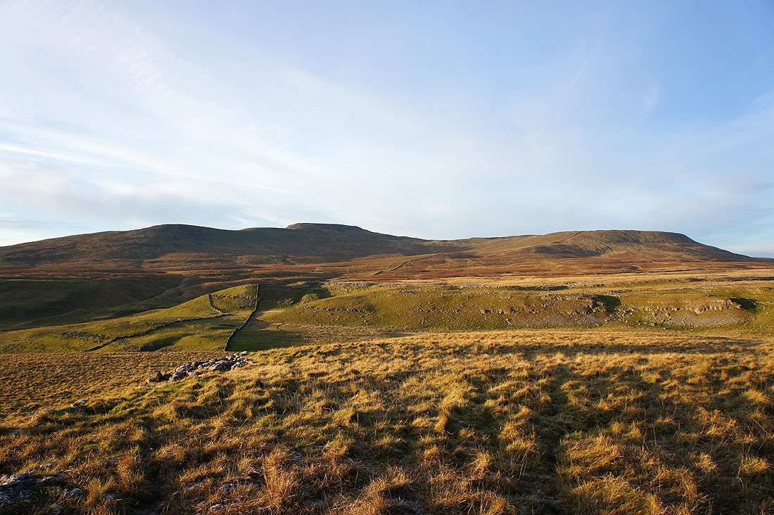
The Lake District fells start to come into view over the shoulder of neighbouring Gragareth
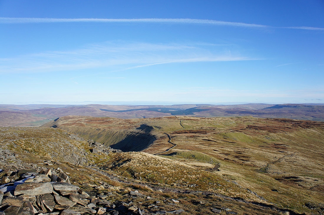
We've made it to the edge of Ingleborough's summit plateau, so I'm going to have a walk around the edge before making for the trig point. Simon Fell is just below.
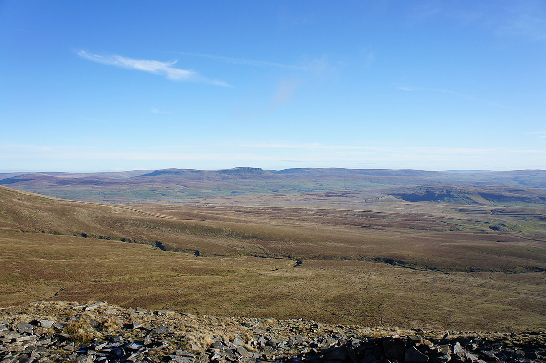
Buckden Pike, Plover Hill, Penyghent and Fountains Fell
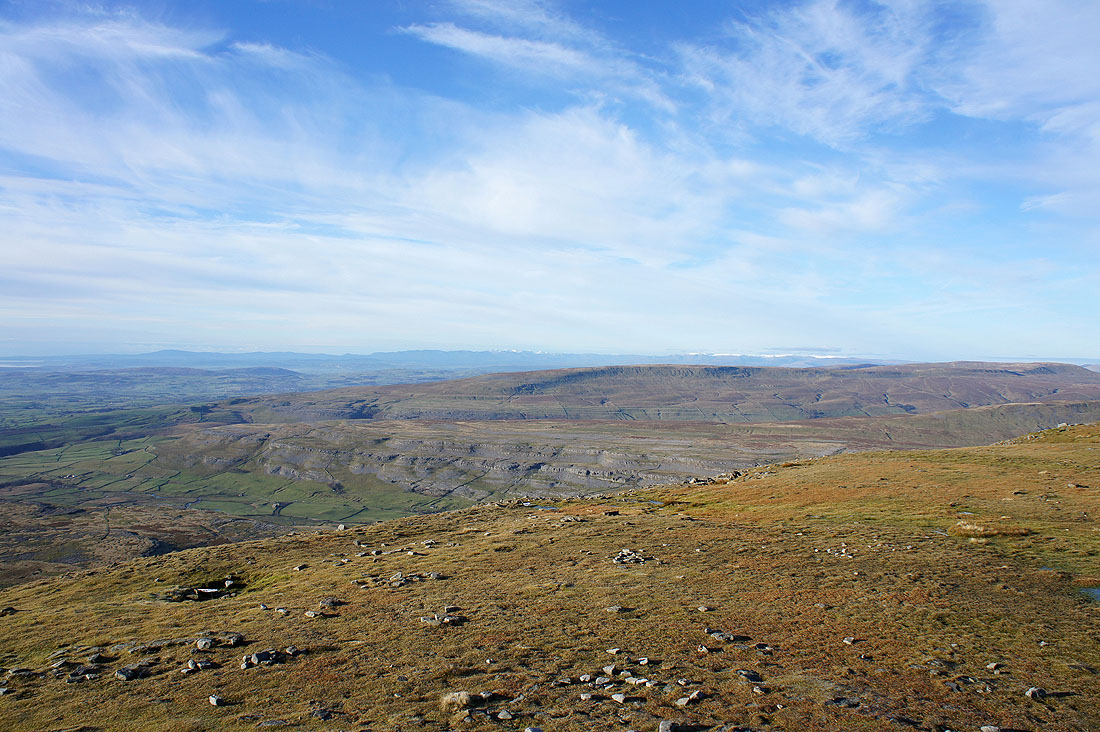
Great Coum and Whernside with the Howgills in the gap between
Ribblehead, Blea Moor and beyond. The high point in the middle of the picture is Great Shunner Fell.
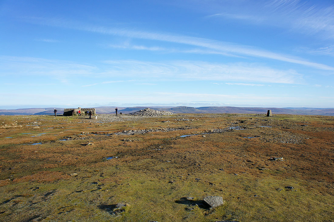
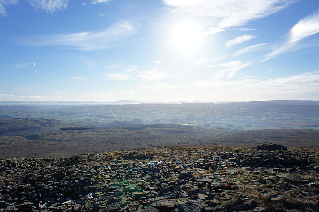
Ingleborough's summit
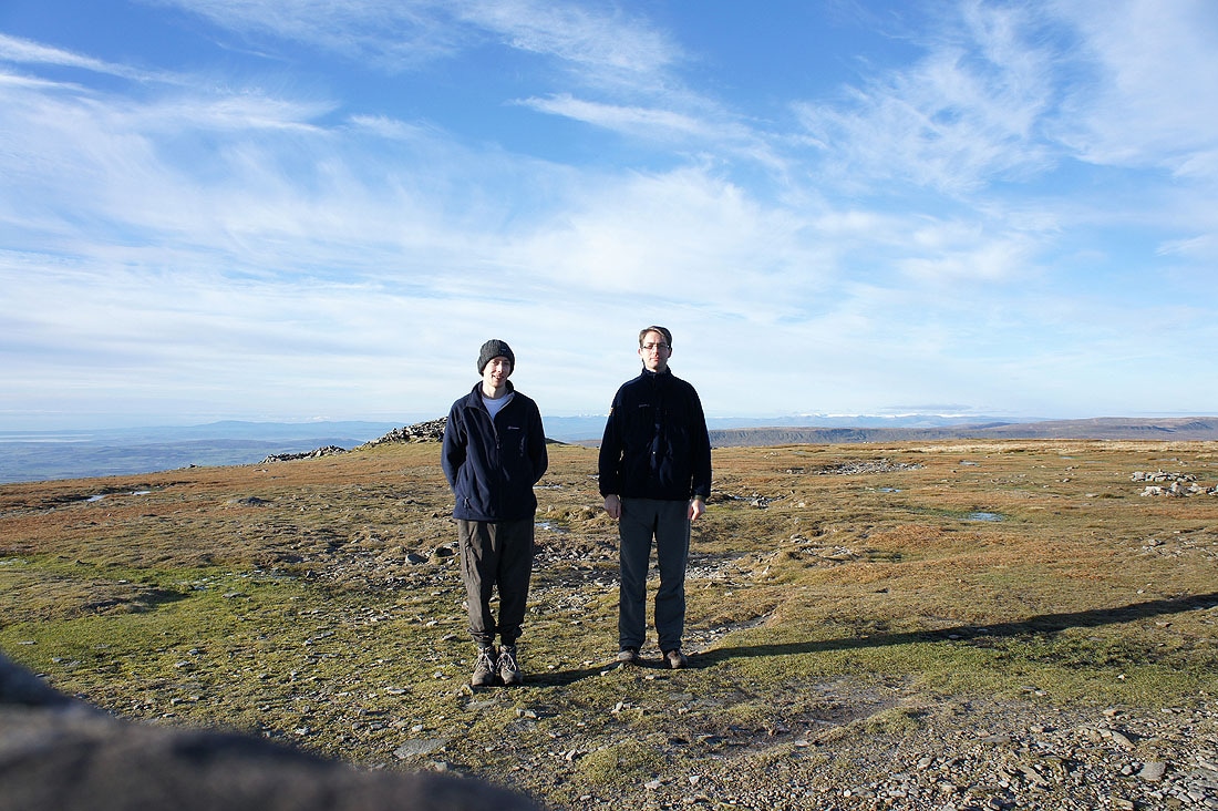
Two of the Kilduff brothers, happy to be here on a great day. Photo courtesy of the trig point and timer.
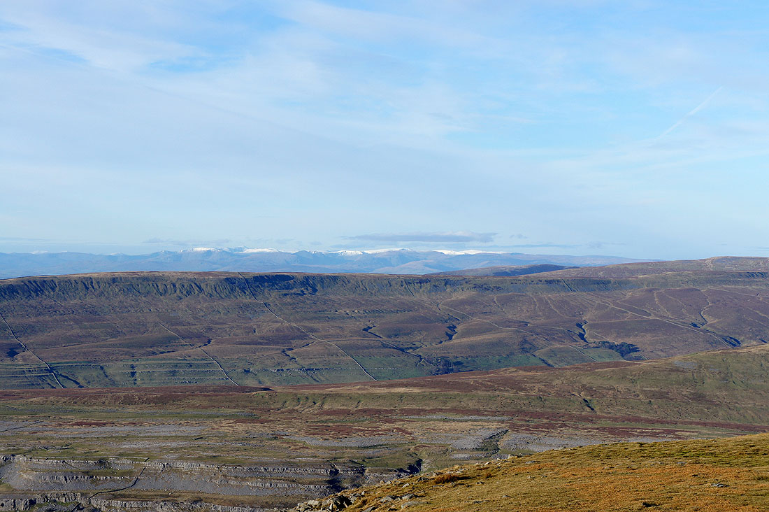
The Lake District fells can easily be seen over the fell of Gragareth
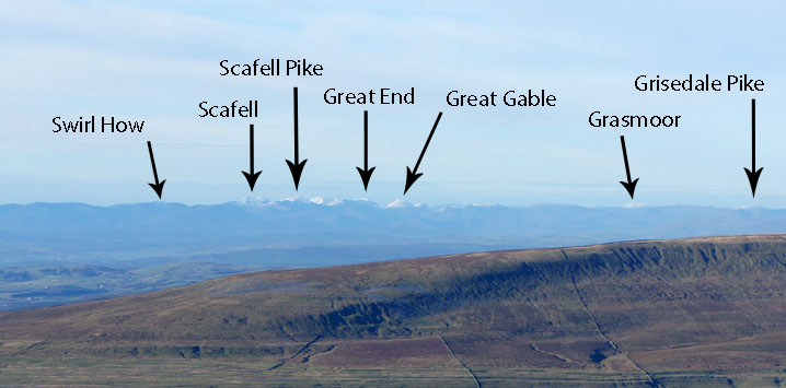
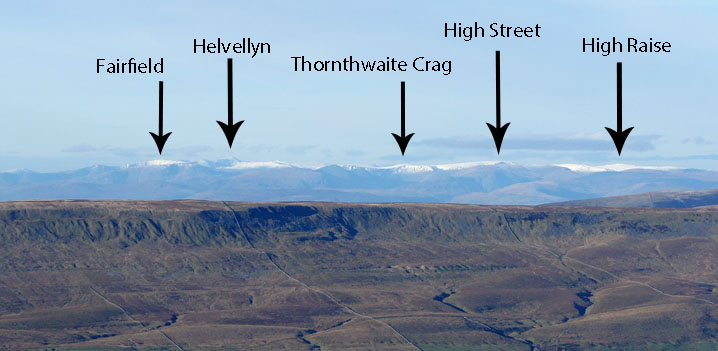
I've zoomed in and then cropped the pictures to pick out the detail. It might be a surprise to see the north-western fells but I definitely remember seeing Ingleborough from Dale Head once.
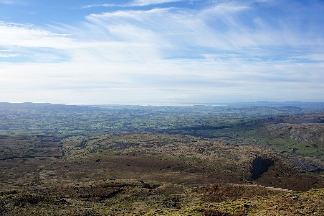
Morecambe Bay
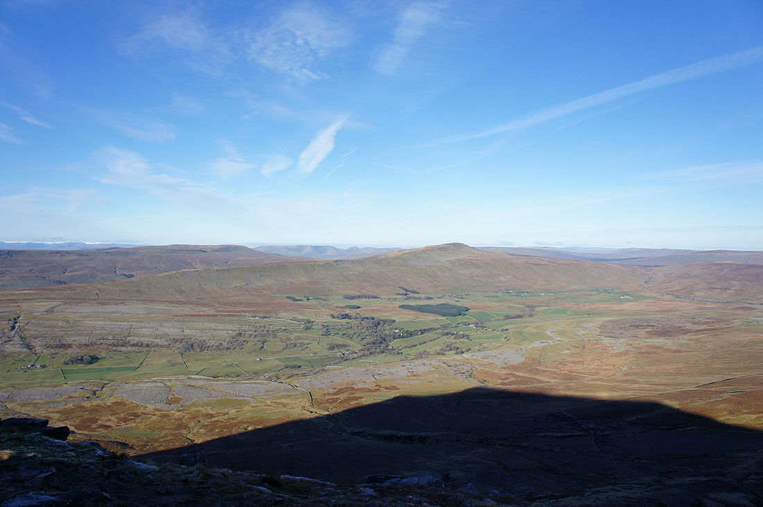
Past Little Ingleborough to Pendle Hill
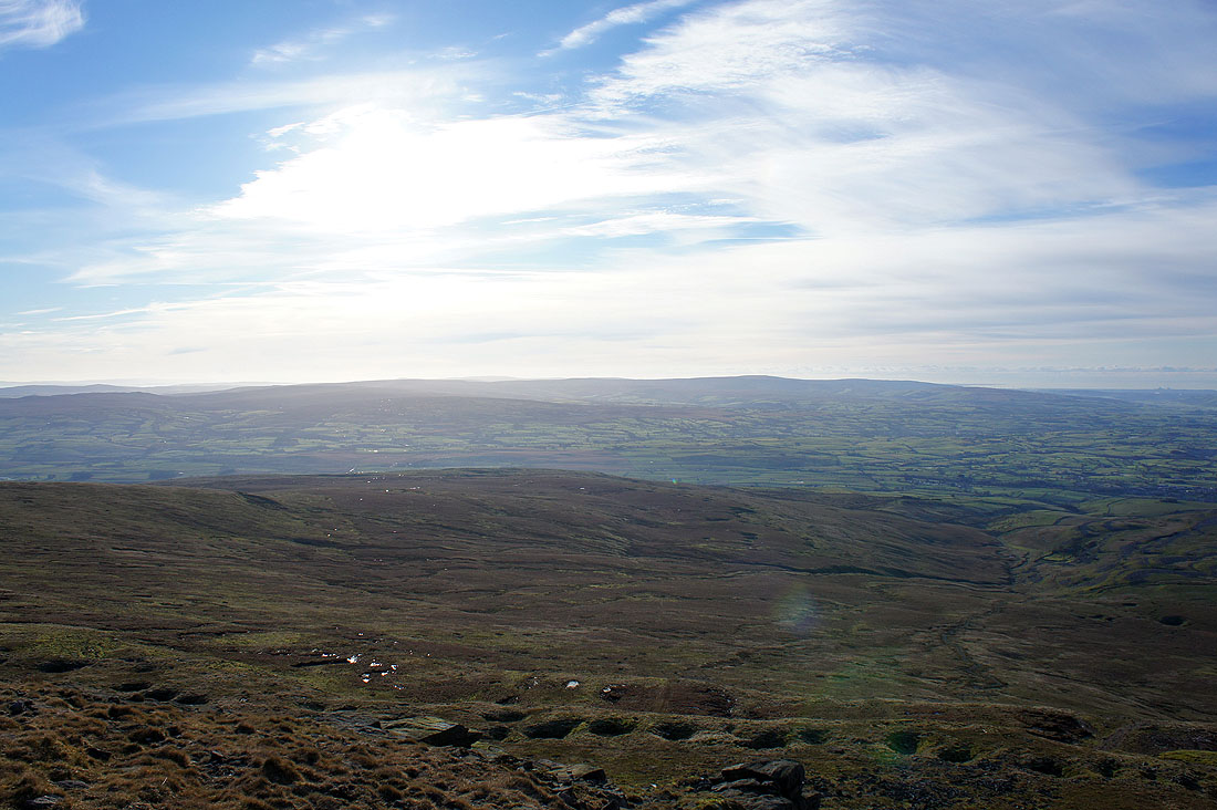
The Forest of Bowland
One last shot from a frozen summit. The Gragareth to Great Coum ridge and Whernside.
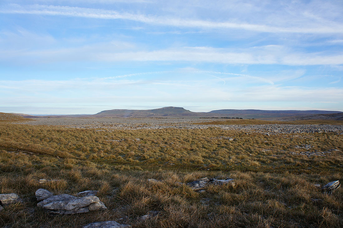
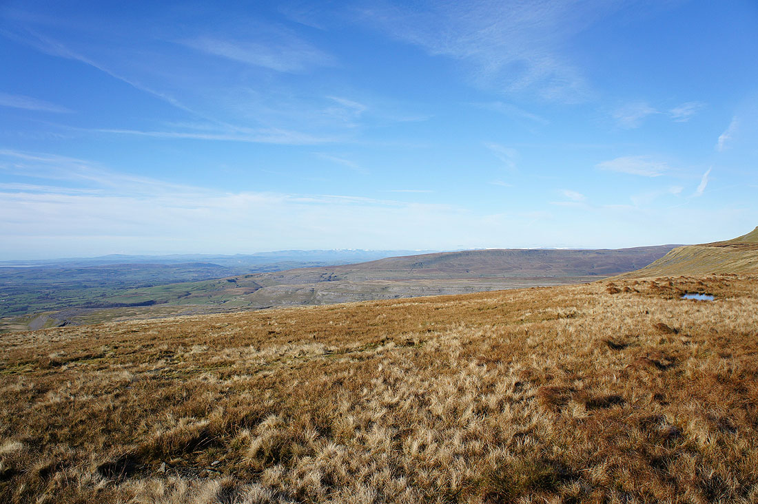
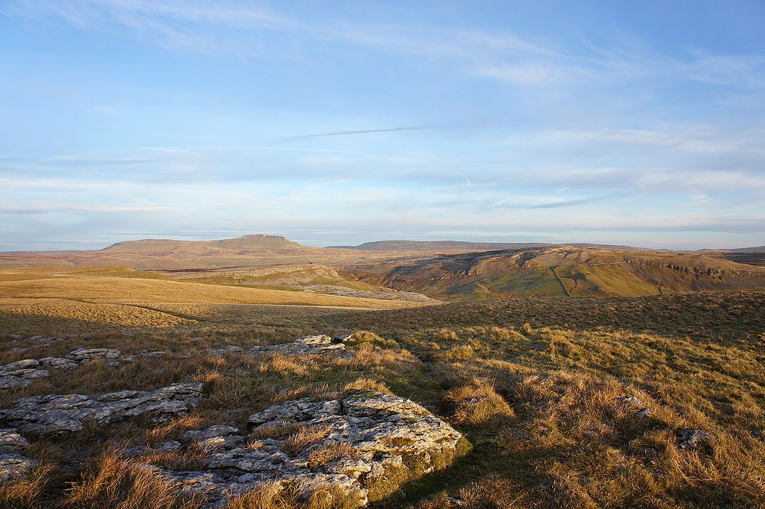
Penyghent and Fountains Fell across the limestone pavement of Sulber
A distant Pendle Hill and on the right, the hill of Thwaite. I was there just a couple of weeks ago.
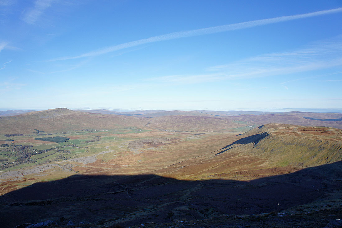
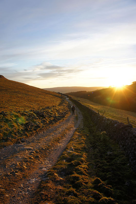
Ingleborough from Long Scar. The low sun is making for fantastic light and shadows.
Penyghent, Fountains Fell and Moughton
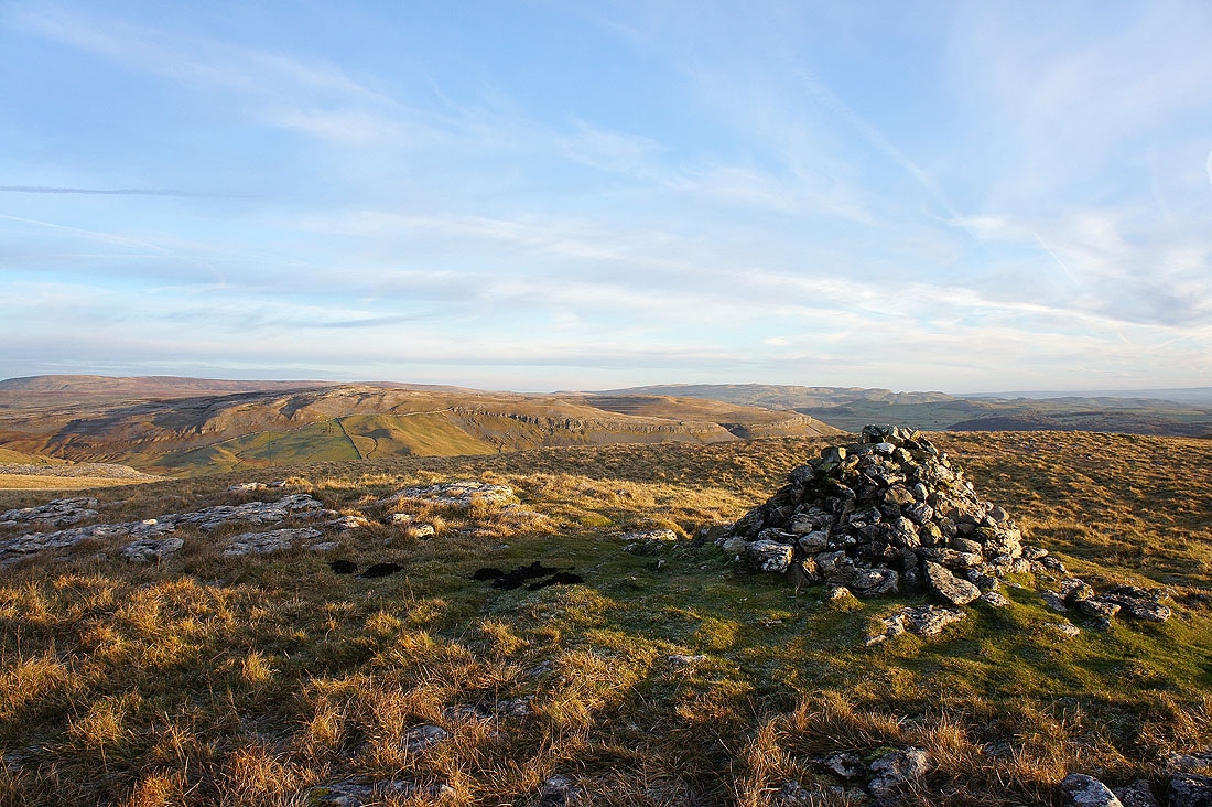
Moughton and in the distance behind the cairn, Warrendale Knotts above Settle
Back to Clapham on Long Lane