29th October 2017 - Gragareth
Walk Details
Distance walked: 8.8 miles
Total ascent: 1968 ft
OS map used: OL2 - Yorkshire Dales, Southern & Western areas
Time taken: 6 hrs
Route description: Thornton Lane-Cheese Press Stone-Low Plain-Turbary Road-Turbary Pasture-Gragareth-Three Men of Gragareth-Gragareth-Ireby Fell-Turbary Road-Tow Scar Road-Westgate Lane-Thornton Lane
Just a couple of days after my last walk in the Yorkshire Dales I'm back again for another one and this time I'm in the far west of the park. I fancied having a walk in this area so that I could take in the great all round views to be had across Morecambe Bay to the Lake District and to the neighbouring fells in the western part of the Dales. It didn't disappoint. I repeated a route that I did in December last year except this time I didn't bother visiting Tow Scar to save time. It turned out to be a lovely autumn day for being on the fells with clear, sunny skies and great visibility though with a strong and cold wind high up.
From where I parked in the layby at the top of Thornton Lane I started by briefly walking north along the road towards Kingsdale to take the public footpath up onto the limestone pavement of Low Plain. After a bit of wandering about the limestone pavement I finally spotted the Cheese Press Stone. That found I crossed Low Plain to reach the byway of Turbary Road. I followed this clear track north along the hillside above Kingsdale to its end on the hillside of Turbary Pasture above Yordas Wood. Time to head up. A fairly clear trod in the grass took me uphill by a wall (lunch stop was the sheepfold on the map) to reach the summit wall on Gragareth where a stile was crossed to reach the trig point on the other side of the fell. I went straight past the trig point though and down the hillside to visit the cairns of the Three Men of Gragareth. After having a break here and taking in the views I made my way back up to the trig point and south to the summit wall. At the wall corner at the top of Ireby Fell a stile was used to access this fellside so that I could make my way down Ireby Fell by the eastern side of its eastern boundary wall. About half way down I reached a path across the hillside past Marble Steps Pot to reach the track of Turbary Road. I followed this downhill before turning left onto the track of Tow Scar Road which took me down to Westgate Lane. Walking up this road and then up Thornton Lane took me back to where I was parked.
Route map
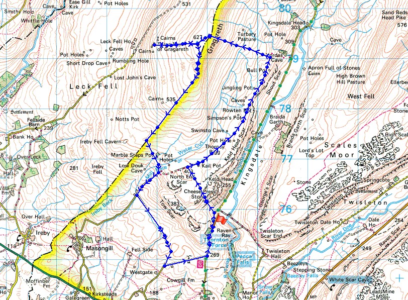
© Crown copyright. All rights reserved. License number PU 100034184.
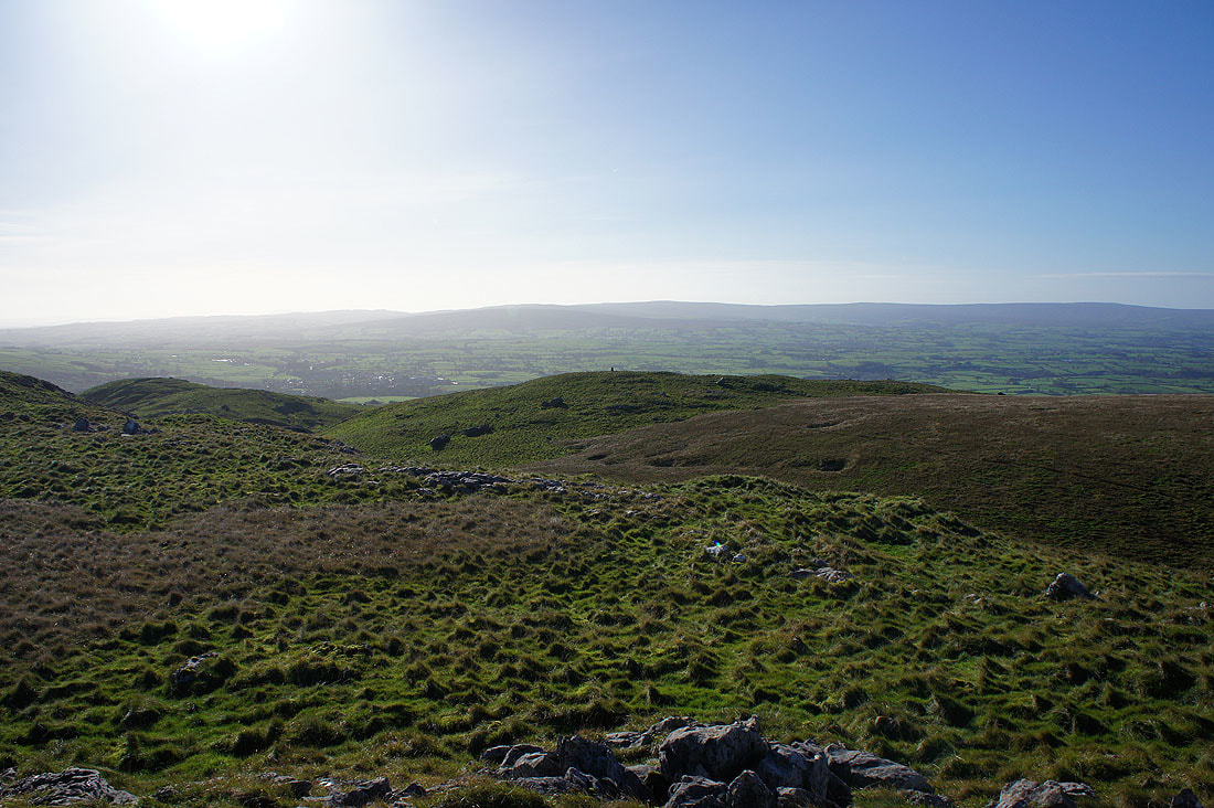
Ingleborough behind Twisleton Scar End
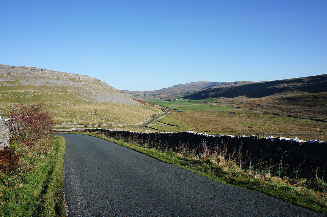
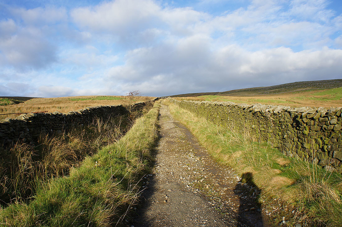
and Kingsdale, from where I parked on Thornton Lane
My first objective after setting off was to locate this, the Cheese Press Stone on the limestone pavement of Low Plain
The fells of the Forest of Bowland from the high point of Low Plain. I can make out the trig point on the nearby Tow Scar.
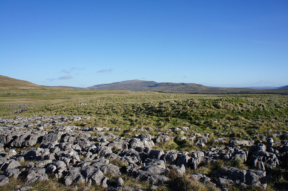
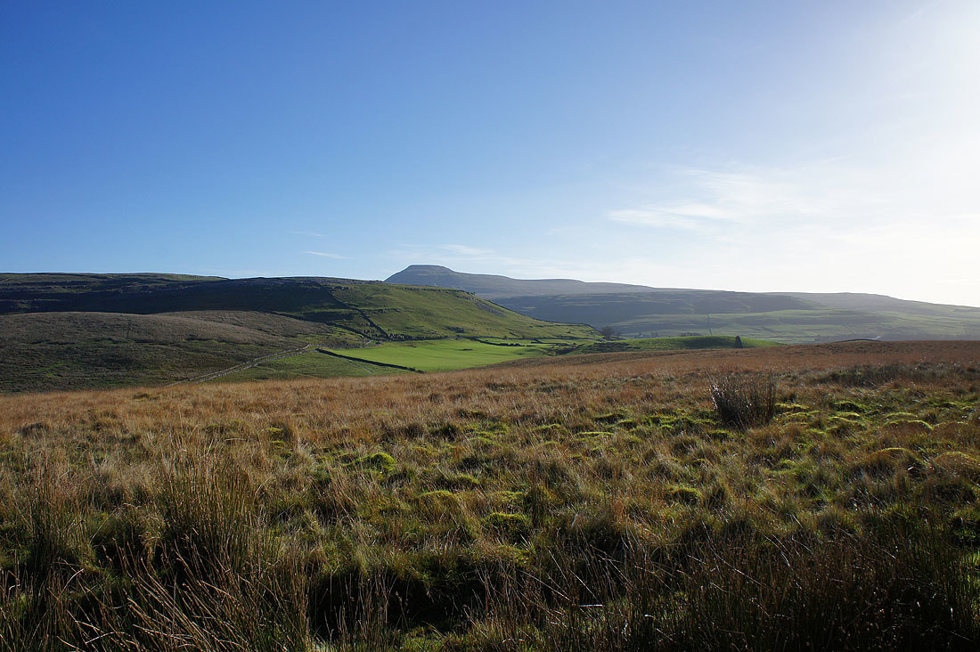
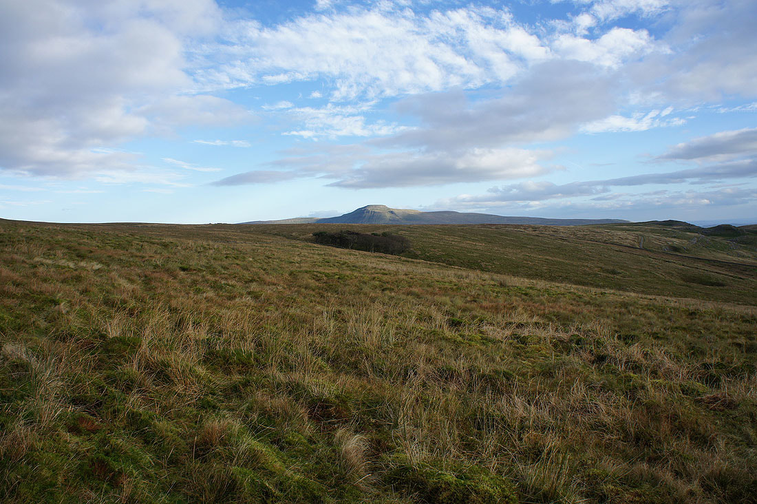
Whernside
and Ingleborough
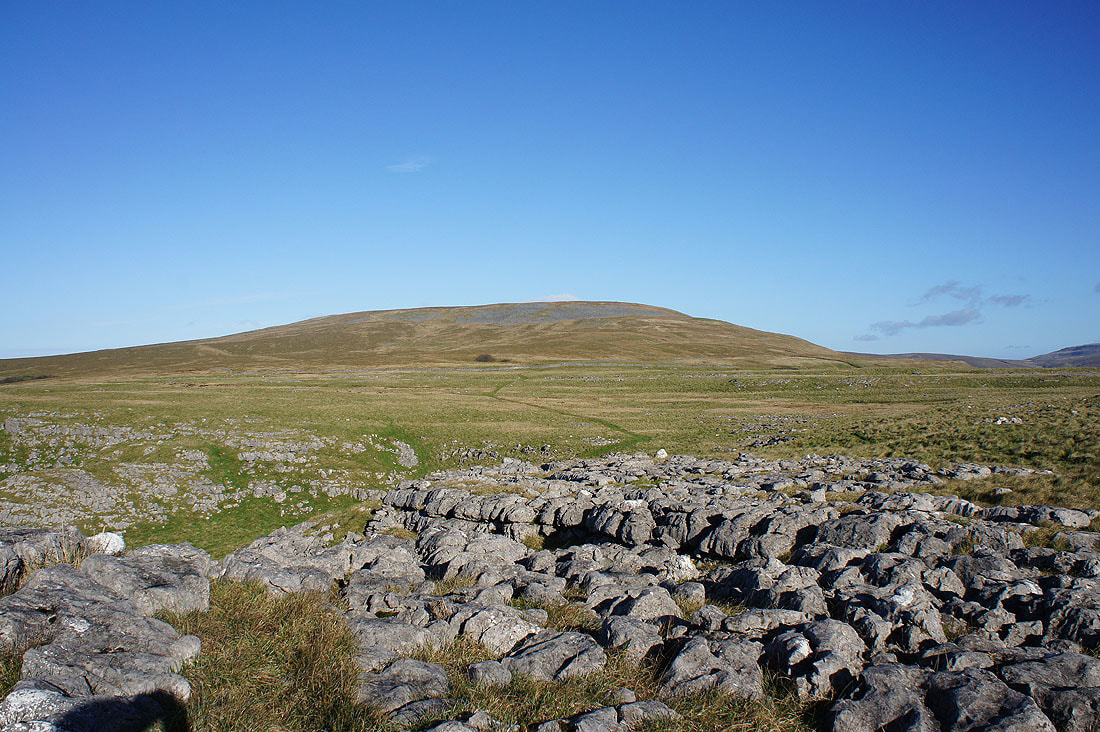
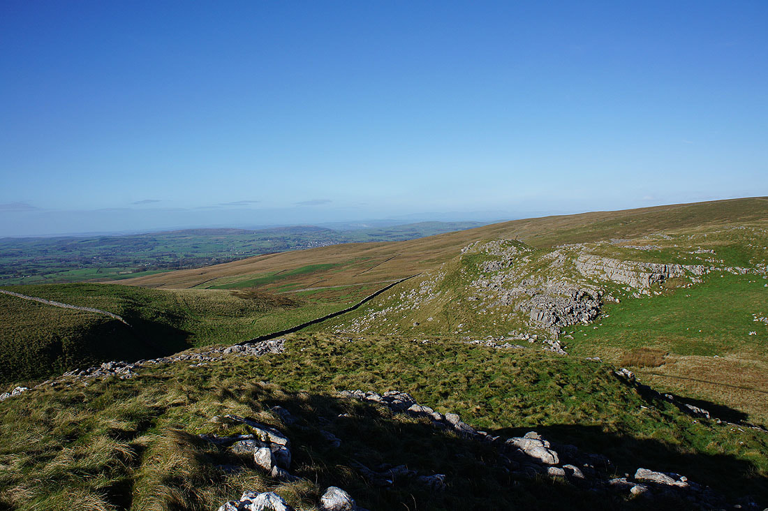
The southern slopes of Gragareth
Looking west past the end of North End Scar to Lunesdale. I can make out the town of Kirkby Lonsdale.
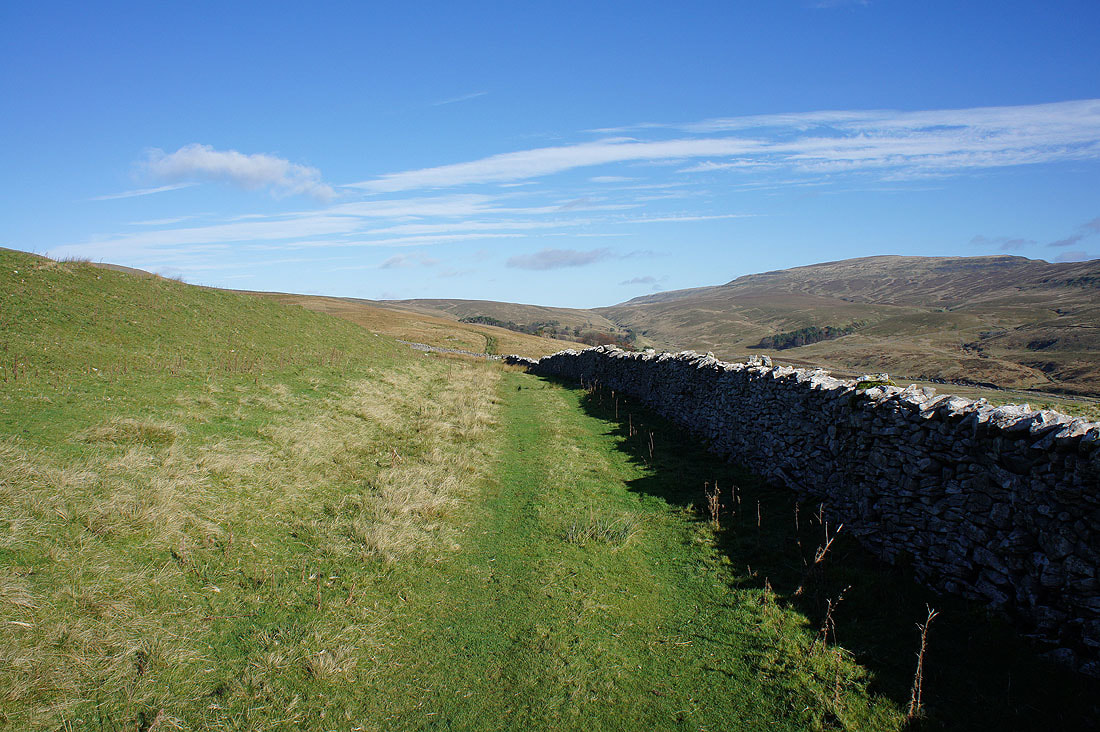
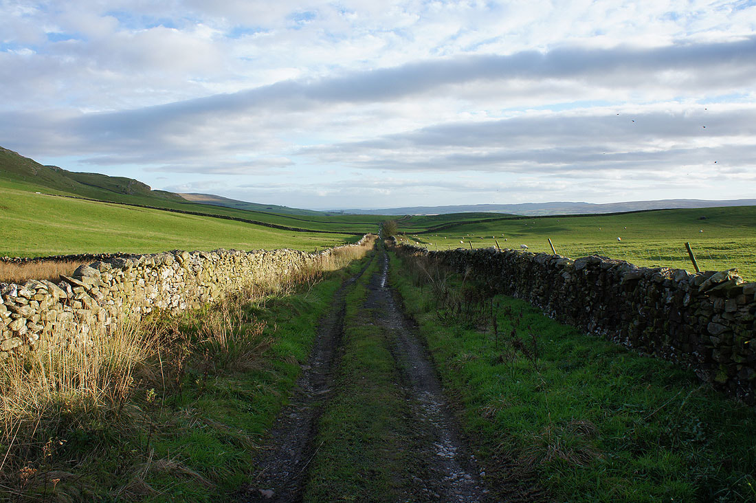
Heading up Kingsdale on Turbary Road
The slopes of Gragareth rise to my left
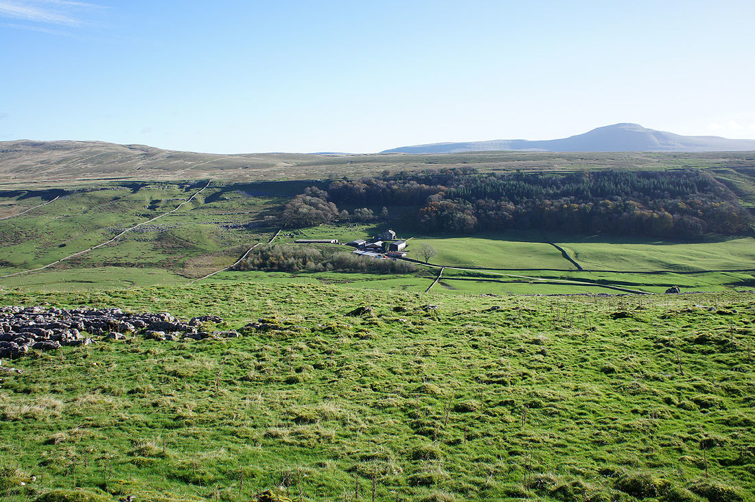
Braida Garth Farm down in Kingsdale
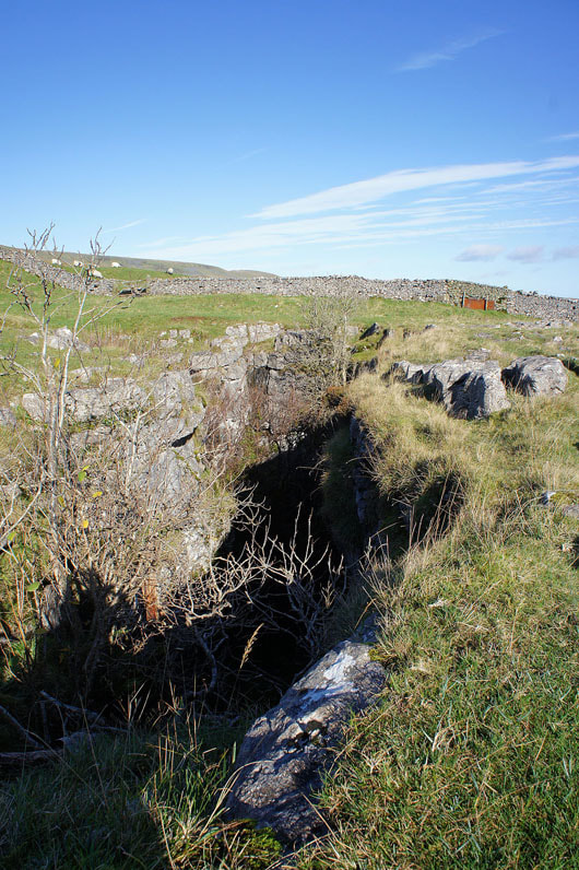
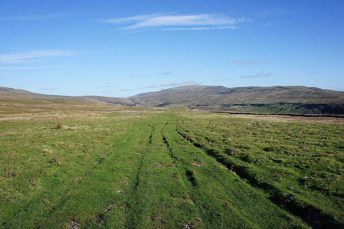
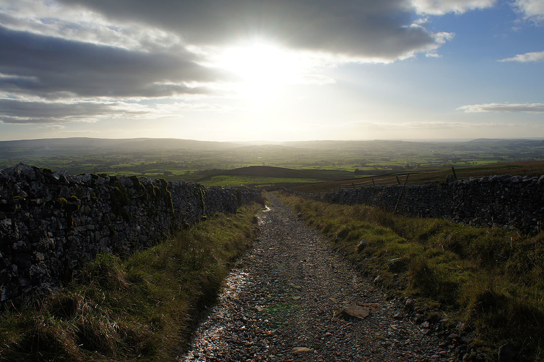
Turbary Road passes the deep, dark hole of Rowten Pot
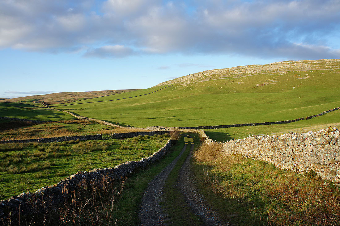
Further up the valley and the path will soon take a left turn and..
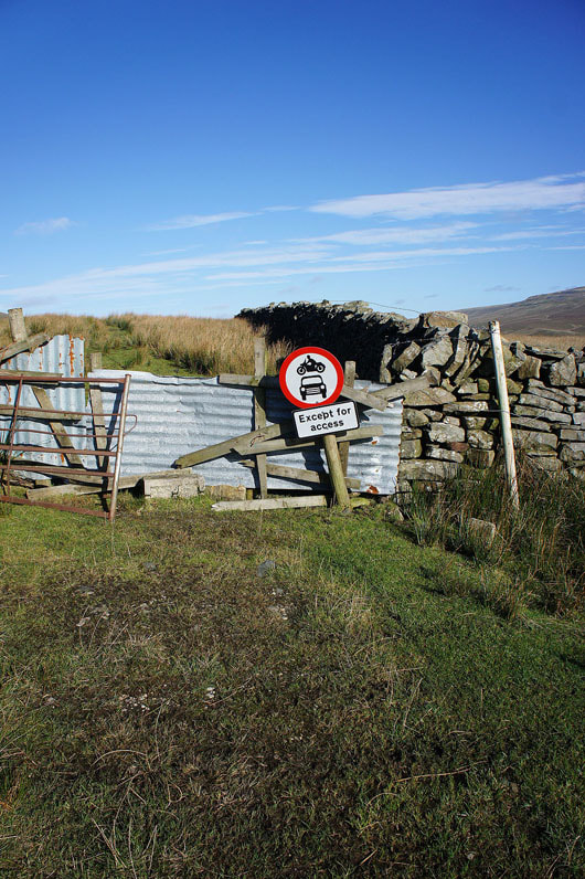
..end here. If you're thinking of bringing your car up here, don't.
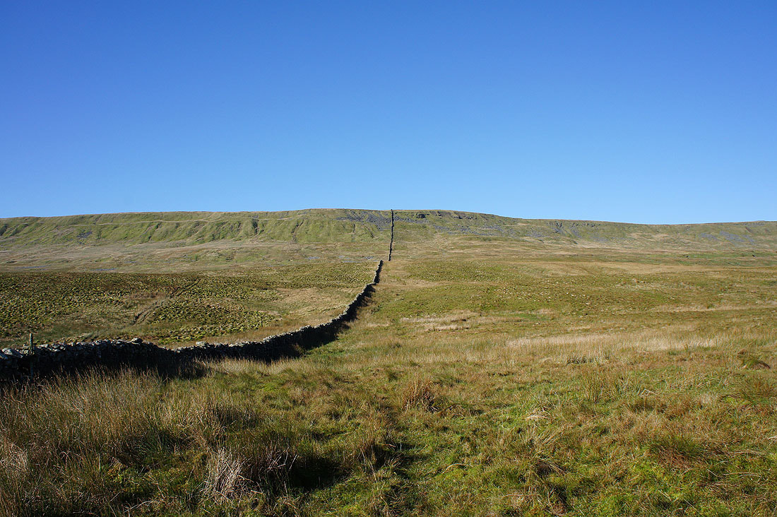
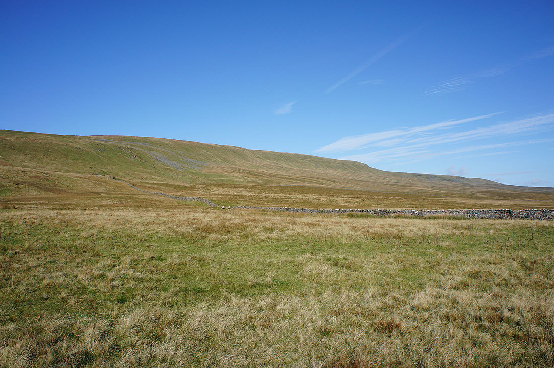
Time to head uphill. Follow the wall, with diversions to avoid the worst boggy bits.
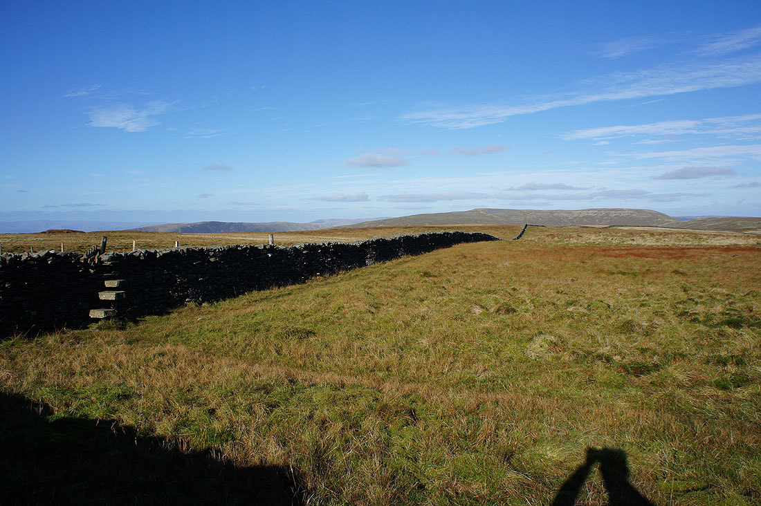
At the top of climb and I have the summit wall to cross. Great moorland colours as I look north to Great Coum.
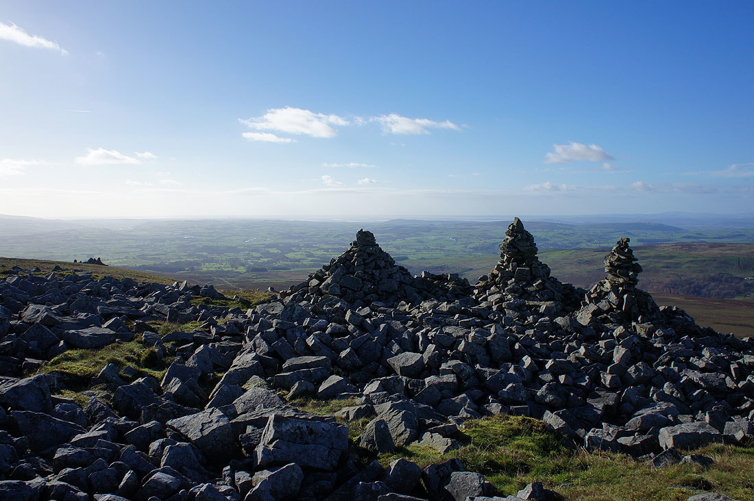
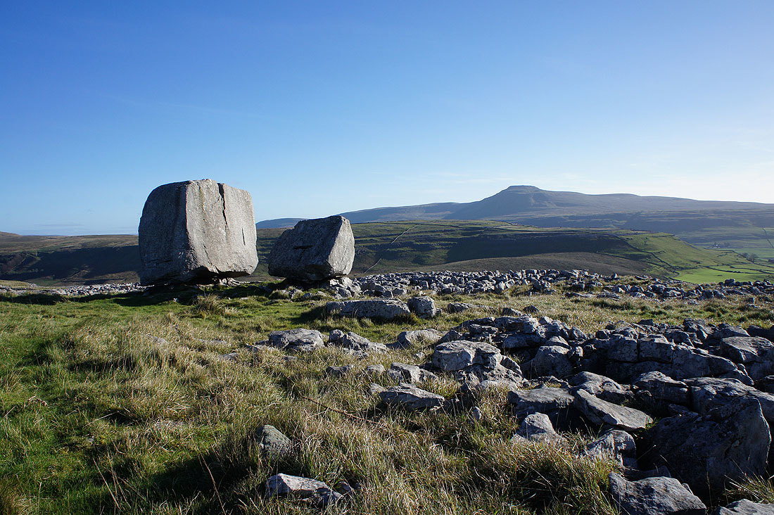
I went straight past the trig point and down to the cairns of The Three Men of Gragareth to have a break and take in the great view. Looking towards Lunesdale and Morecambe Bay.
Lake District fells in the distance beyond the nearby Barbon Low Fell..
..and Middleton Fell
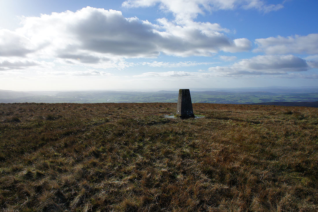
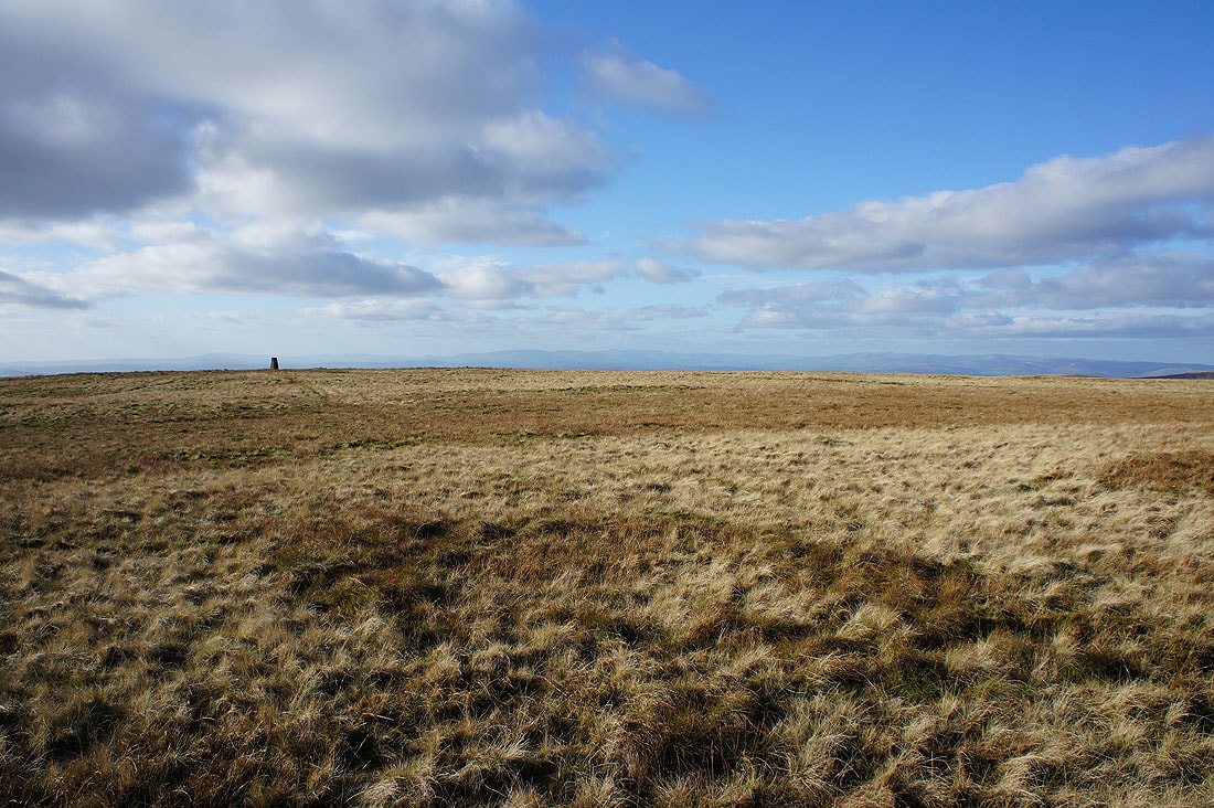
Back up at the trig point to take in the more extensive and equally good view. Morecambe Bay in the distance.
Looking towards the Lake District fells
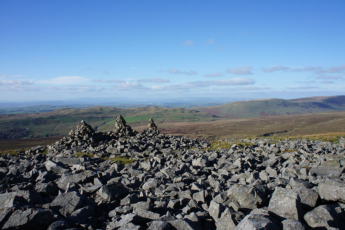
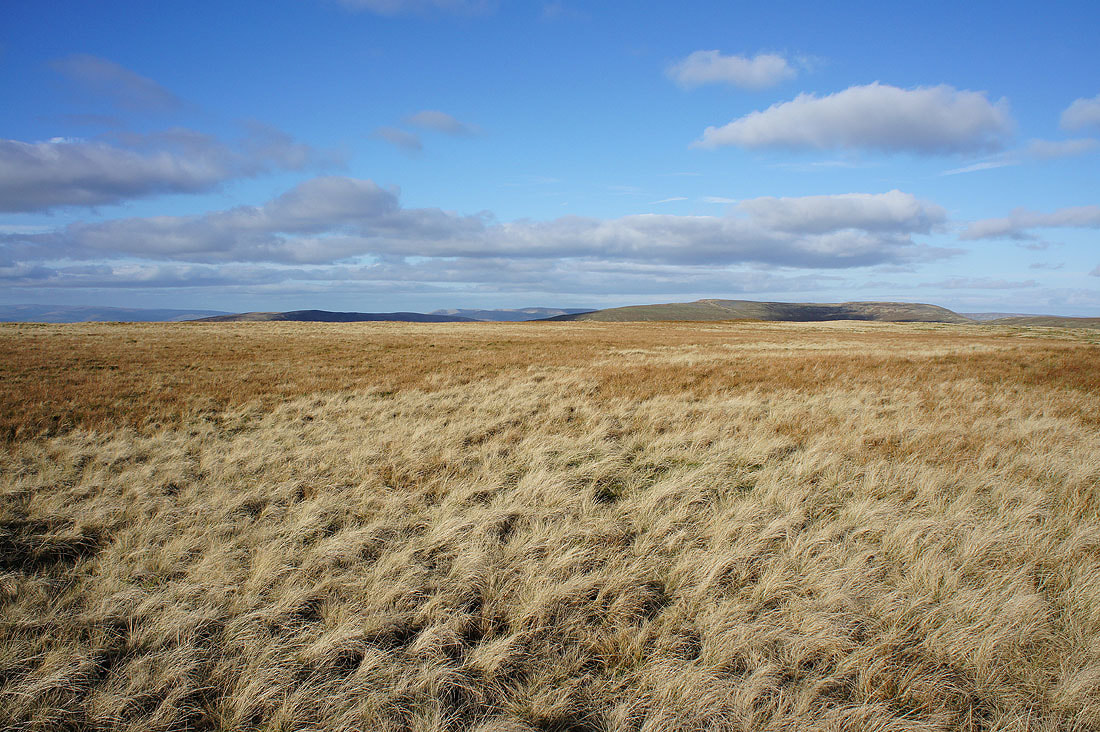
Middleton Fell, the Howgills, Crag Hill and Great Coum
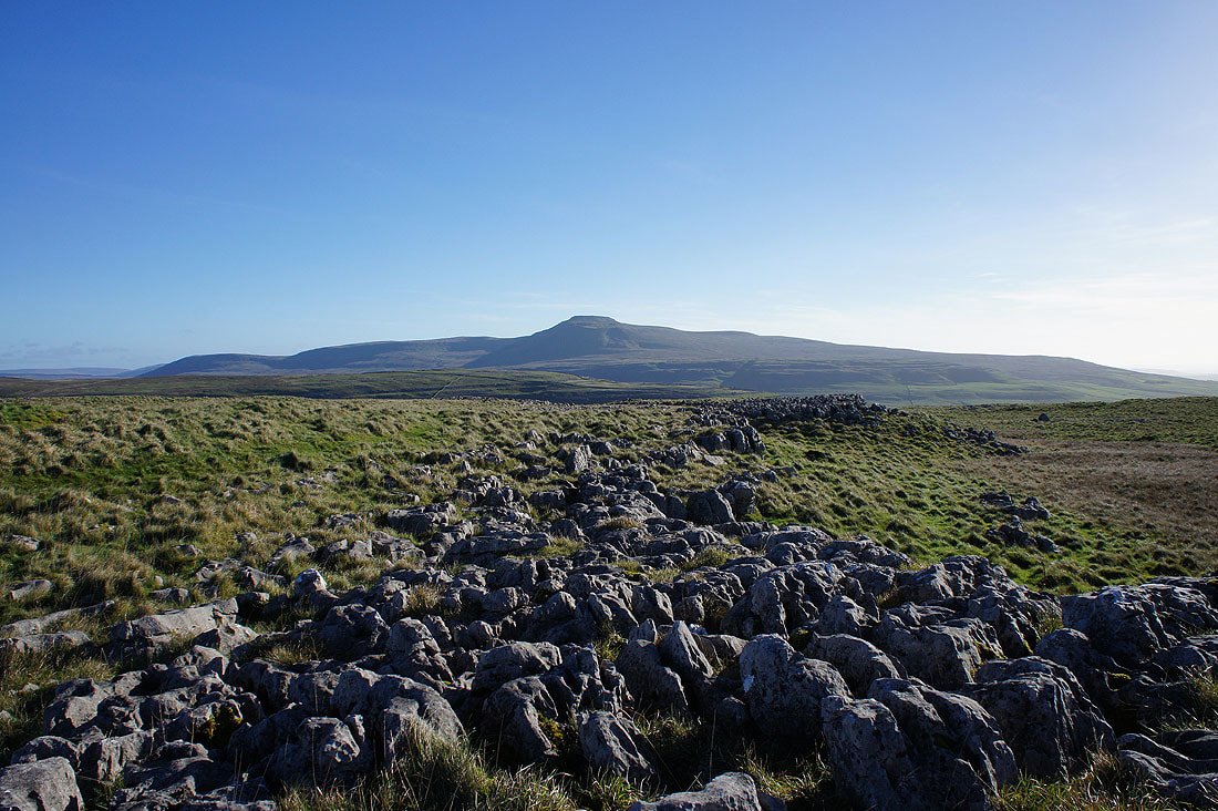
The fell way in the distance on the left is Great Shunner Fell with Whernside on the right
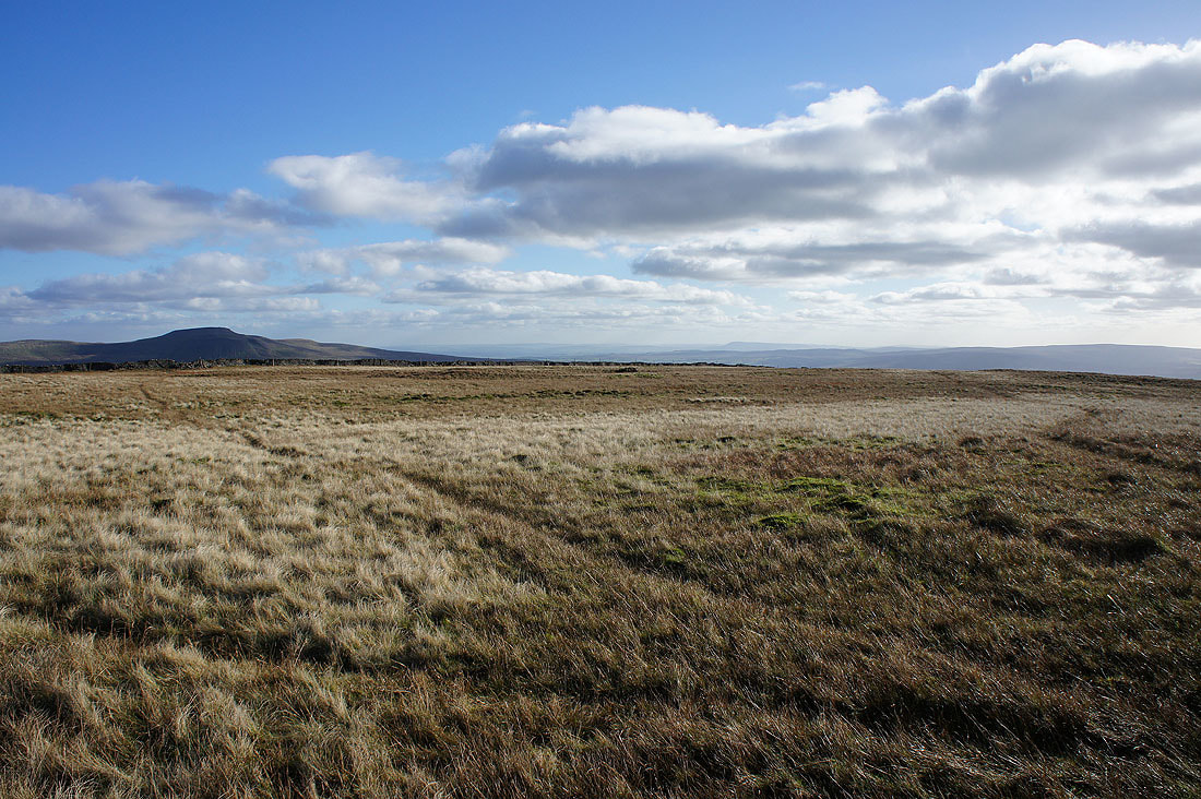
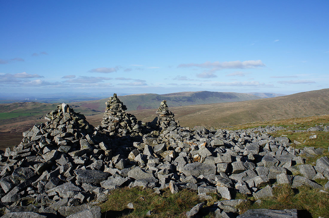
Ingleborough on the left and the distinctive profile of Pendle Hill way in the distance on the right
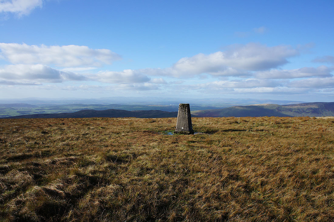
I've stepped away from the trig point to take in more of the great colours that the moorland grass has now taken on..
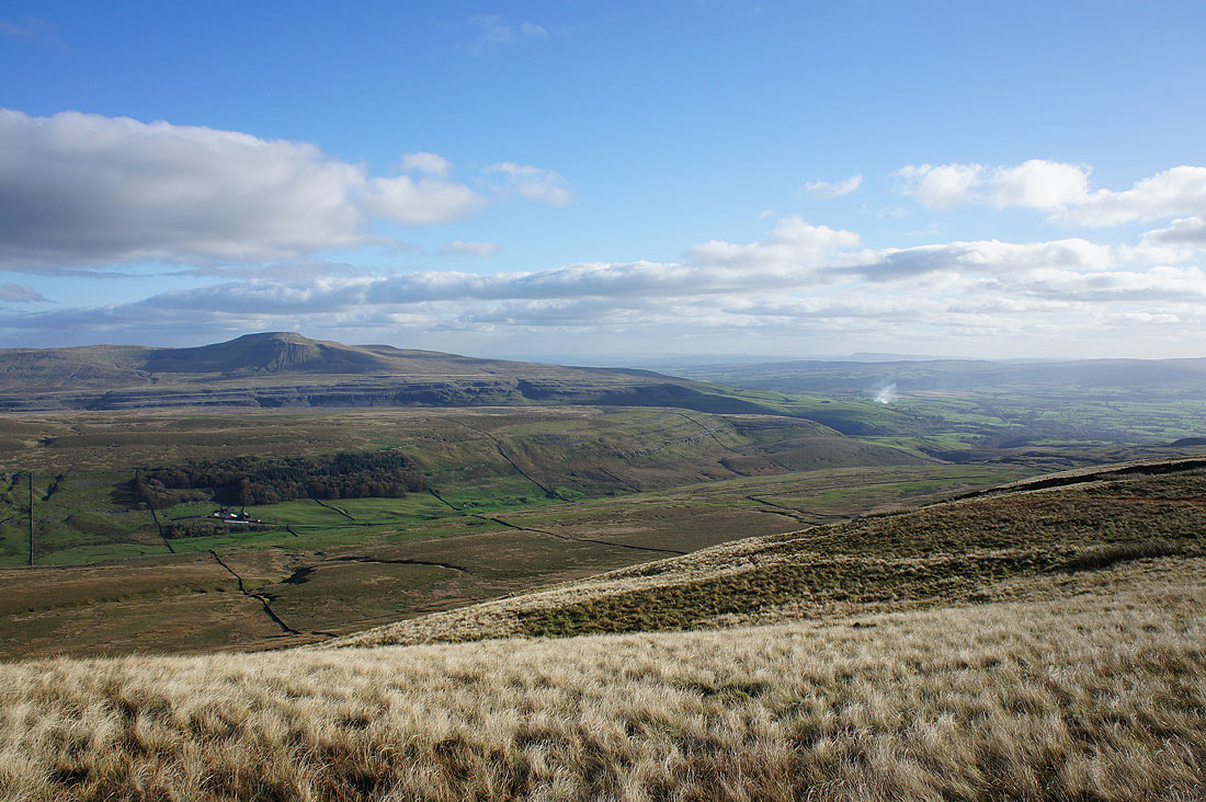
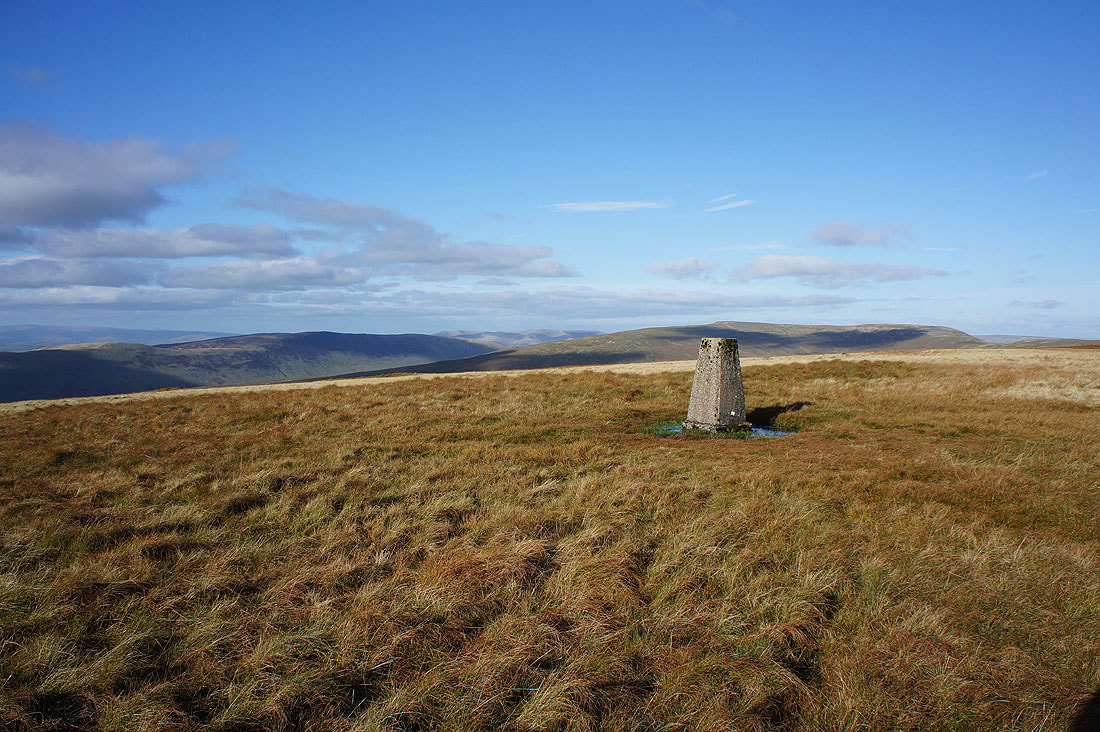
I've crossed the summit wall to start my descent of the south ridge but before I do, I pay a visit to a cairn perched at the top of slope up from Kingsdale for this view across the valley to the south ridge of Whernside, and Ingleborough
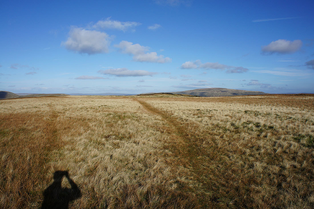
Heading down the south ridge of Gragareth
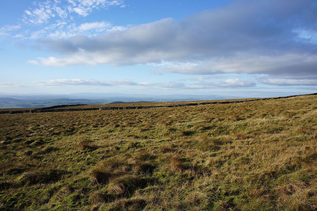
Looking across Ireby Fell to a long line of Lake District fells
Ingleborough behind the stand of trees that contains Marble Steps Pot, Lamb Pot and Steps Pot
The path I was following joins the byway of Turbary Road
Looking back up the track before I turn left..
..and take the track of Tow Scar Road
Looking back along the track beneath Tow Scar
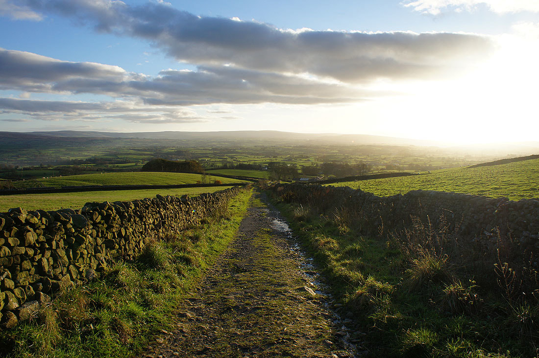
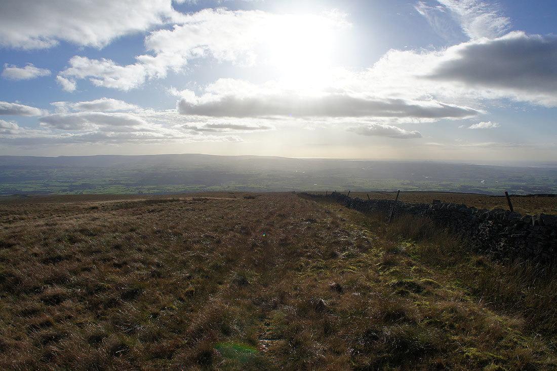
It's a lovely end to the afternoon as I walk down the final bit of Tow Scar Road
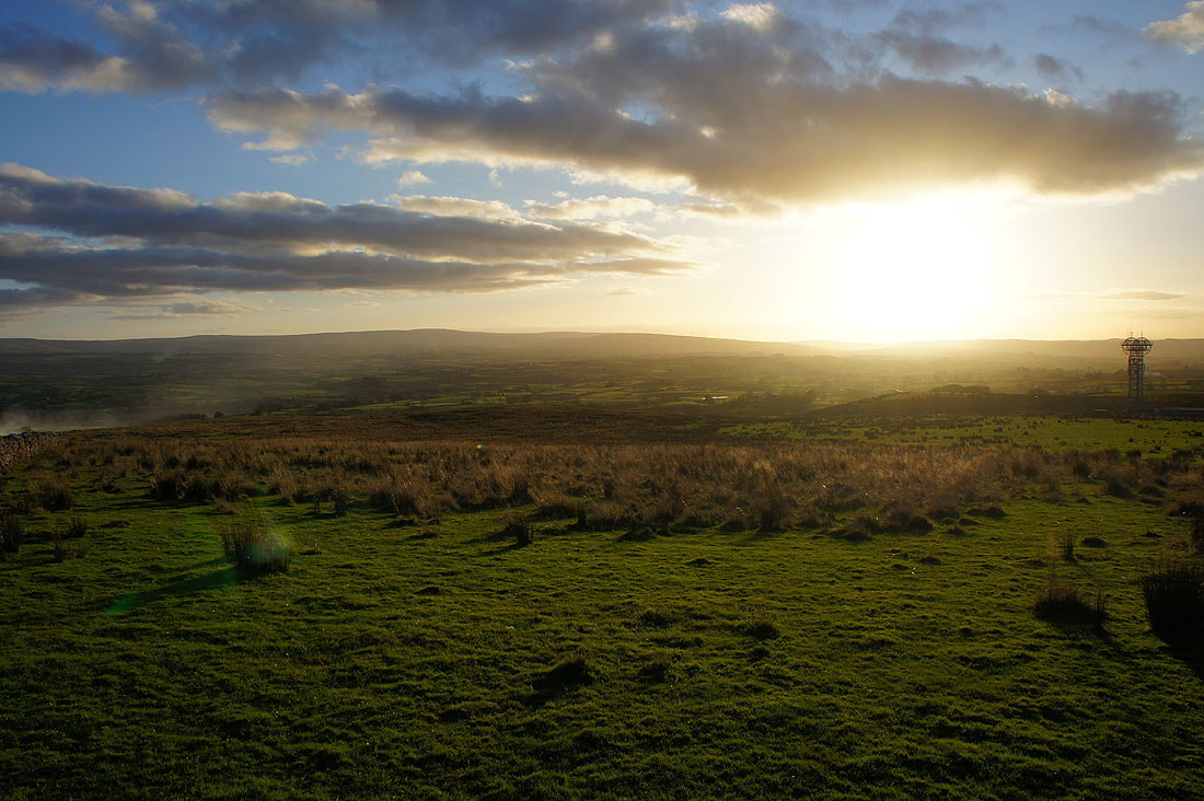
The sun sets across Lunesdale, taken from Westgate Lane