29th October 2023 - Grassington Moor
Walk Details
Distance walked: 15.0 miles
Total ascent: 2107 ft
OS map used: OL2 - Yorkshire Dales, Southern & Western areas
Time taken: 7.5 hrs
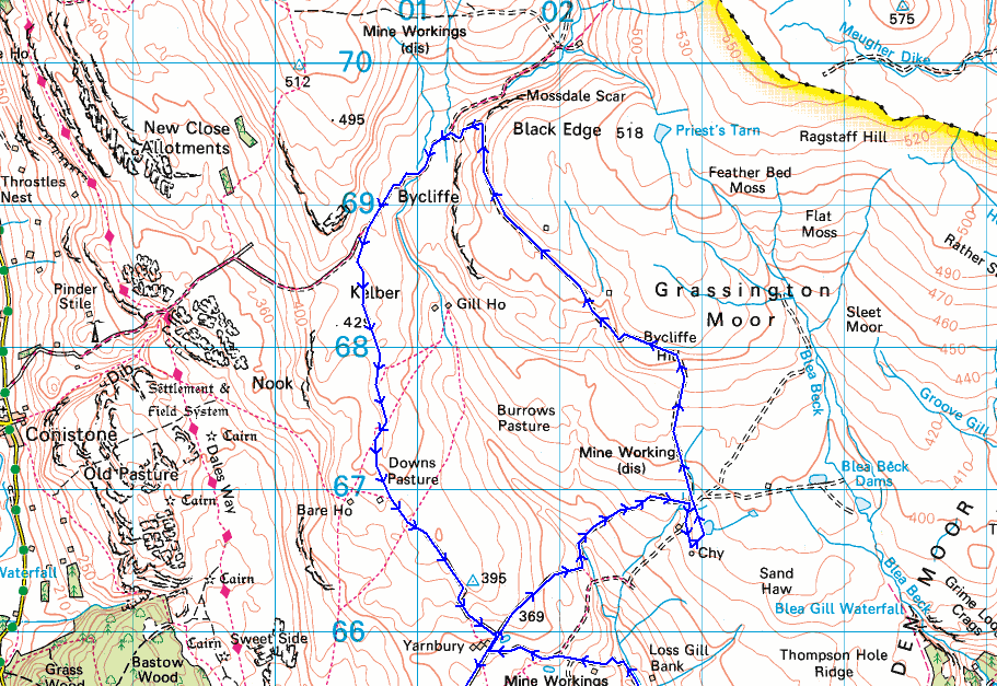
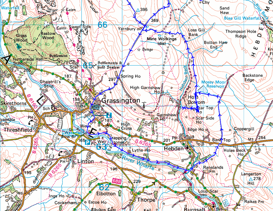
Route description: Grassington-Sedber Lane-Linton Falls-Dales Way-Mill Lane-Bank Top-B6265-Backstone Edge Lane-Mossy Moor-Scar Top House-Scale Haw Force-Scar Top House-Mossy Moor-Hebden Beck-Yarnbury-Old Moor Lane-Grassington Moor-Kelber-Downs Pasture-Yarnbury-Moor Lane-Grassington
I suppose I couldn't go through a whole year without having a walk on the moors above Grassington, I do seem to end up there sooner rather than later. When I decided that that was where I was going this weekend I had to try and work out a route that was a bit different from what I'd done before. Starting from Grassington I took the Dales Way east to below Hebden, and then footpaths and tracks up to Mossy Moor to the north of Hebden, which was a way I hadn't gone before. I had planned to cross Hebden Beck after visiting Scale Haw Force, then follow the track from Hole Bottom up to Yarnbury, but there was no way I could get across it given how deep and fast it was flowing. An alternative route to Yarnbury was taken, which was familiar to me, as was the rest of the route. For once I didn't really make the right choice for where to go to get the best of the weather. After a grey start it was forecast to brighten up, and it did, but much slower than I expected it to. I could see clearer skies and sunshine not far away to the south around where I live, and during the afternoon they gradually got closer. I would probably have been better off walking close to home. Never mind, it was still a fine autumn day for being on the moors with some hazy sunshine during the afternoon, and there wasn't a breath of wind.
From the NP car park in Grassington I got onto the track of Sedber Lane and followed it down to the River Wharfe and Linton Falls, then took the Dales Way and made my way east along the trail to the suspension bridge below Hebden. I left the Dales Way here and took the footpath up to Mill Lane, walked east across Mill Bridge, then took the footpath on the left signposted for Hebden and Bank Top, which I followed north above Hebden Beck and then up through fields to Bank Top on the B6265. After a brief walk east along the B6265 I crossed the road and took the track of Backstone Edge Lane, which I followed north until I could go through a gate on the left and take a path west across Mossy Moor to reach the footpath south to Edge Top. I followed this south to Scar Top House, from where I took a footpath down to Hebden Beck to visit Scale Haw Force. Since I couldn't cross the beck, I retraced my steps to Scar Top House and took the footpath north across Mossy Moor and down to Hebden Beck, from where I followed a track up to the hamlet of Yarnbury. After a stop for lunch on a bench at the bottom of Old Moor Lane, I took this track up to the ruins of the Grassington Lead Mines, visiting the chimney and Coalgrovebeck Reservoir, before following the track up onto Grassington Moor and below Black Edge to reach the bridleway to Conistone. This took me south onto the moorland of Kelber until I reached a footpath on the left, and I followed this south across the moorland of Downs Pasture, and down to the hamlet of Yarnbury. From here a walk down Moor Lane took me back to Grassington.
Total ascent: 2107 ft
OS map used: OL2 - Yorkshire Dales, Southern & Western areas
Time taken: 7.5 hrs
Route description: Grassington-Sedber Lane-Linton Falls-Dales Way-Mill Lane-Bank Top-B6265-Backstone Edge Lane-Mossy Moor-Scar Top House-Scale Haw Force-Scar Top House-Mossy Moor-Hebden Beck-Yarnbury-Old Moor Lane-Grassington Moor-Kelber-Downs Pasture-Yarnbury-Moor Lane-Grassington
I suppose I couldn't go through a whole year without having a walk on the moors above Grassington, I do seem to end up there sooner rather than later. When I decided that that was where I was going this weekend I had to try and work out a route that was a bit different from what I'd done before. Starting from Grassington I took the Dales Way east to below Hebden, and then footpaths and tracks up to Mossy Moor to the north of Hebden, which was a way I hadn't gone before. I had planned to cross Hebden Beck after visiting Scale Haw Force, then follow the track from Hole Bottom up to Yarnbury, but there was no way I could get across it given how deep and fast it was flowing. An alternative route to Yarnbury was taken, which was familiar to me, as was the rest of the route. For once I didn't really make the right choice for where to go to get the best of the weather. After a grey start it was forecast to brighten up, and it did, but much slower than I expected it to. I could see clearer skies and sunshine not far away to the south around where I live, and during the afternoon they gradually got closer. I would probably have been better off walking close to home. Never mind, it was still a fine autumn day for being on the moors with some hazy sunshine during the afternoon, and there wasn't a breath of wind.
From the NP car park in Grassington I got onto the track of Sedber Lane and followed it down to the River Wharfe and Linton Falls, then took the Dales Way and made my way east along the trail to the suspension bridge below Hebden. I left the Dales Way here and took the footpath up to Mill Lane, walked east across Mill Bridge, then took the footpath on the left signposted for Hebden and Bank Top, which I followed north above Hebden Beck and then up through fields to Bank Top on the B6265. After a brief walk east along the B6265 I crossed the road and took the track of Backstone Edge Lane, which I followed north until I could go through a gate on the left and take a path west across Mossy Moor to reach the footpath south to Edge Top. I followed this south to Scar Top House, from where I took a footpath down to Hebden Beck to visit Scale Haw Force. Since I couldn't cross the beck, I retraced my steps to Scar Top House and took the footpath north across Mossy Moor and down to Hebden Beck, from where I followed a track up to the hamlet of Yarnbury. After a stop for lunch on a bench at the bottom of Old Moor Lane, I took this track up to the ruins of the Grassington Lead Mines, visiting the chimney and Coalgrovebeck Reservoir, before following the track up onto Grassington Moor and below Black Edge to reach the bridleway to Conistone. This took me south onto the moorland of Kelber until I reached a footpath on the left, and I followed this south across the moorland of Downs Pasture, and down to the hamlet of Yarnbury. From here a walk down Moor Lane took me back to Grassington.
Route map
© Crown copyright. All rights reserved. License number PU 100034184.
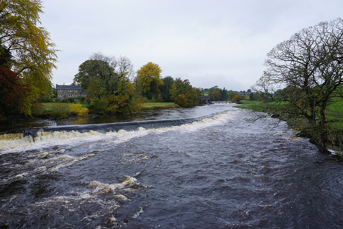
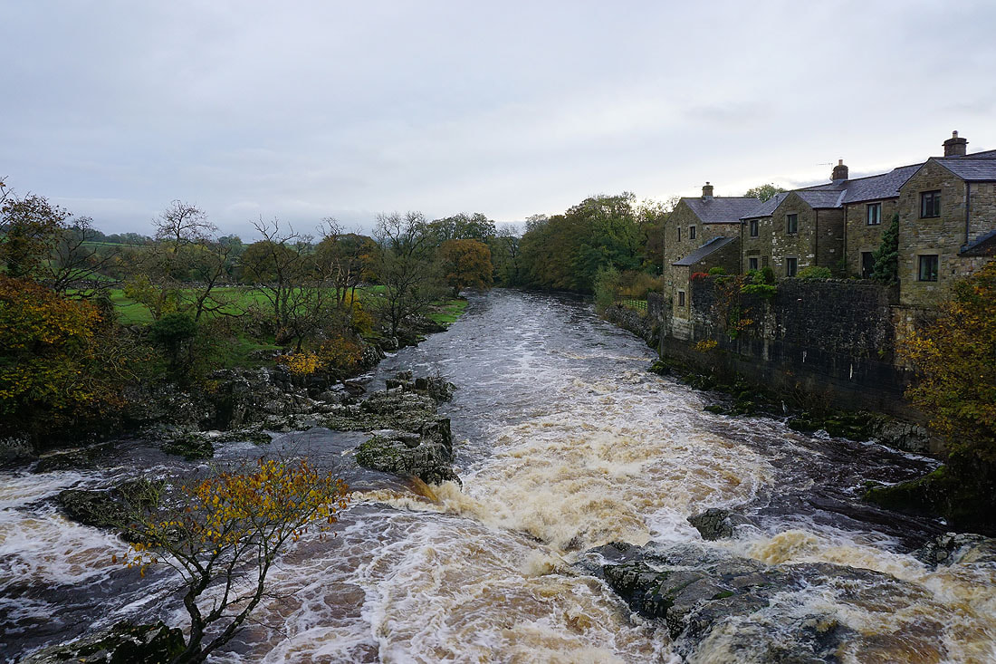
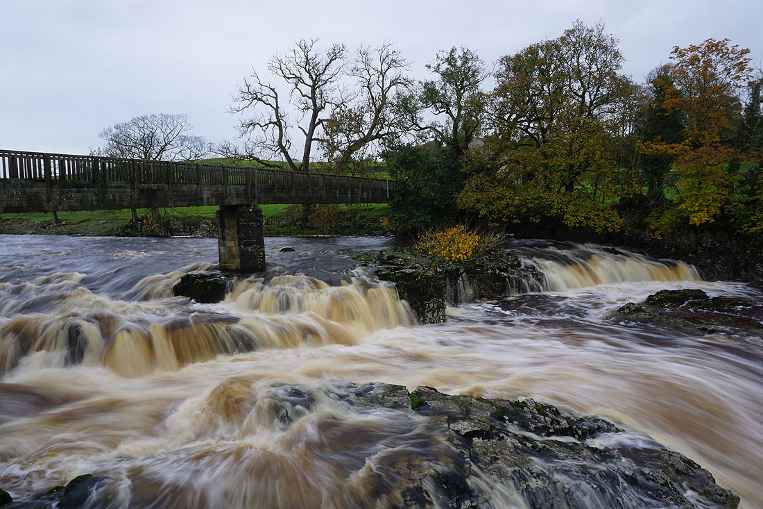
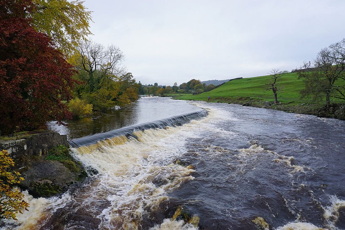
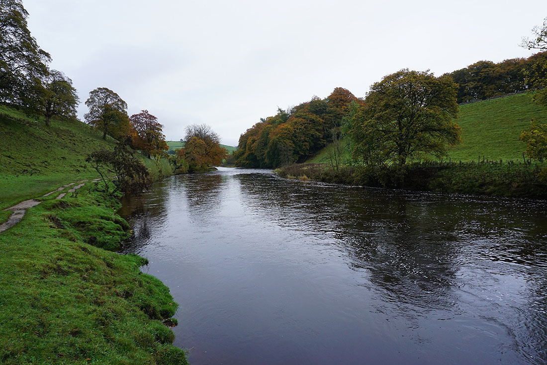
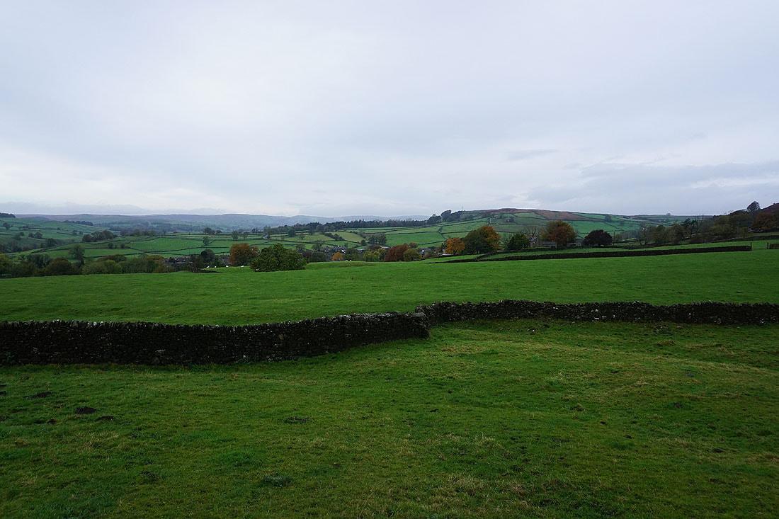
A few photos of Linton Falls on the River Wharfe after walking down Sedber Lane from Grassington....

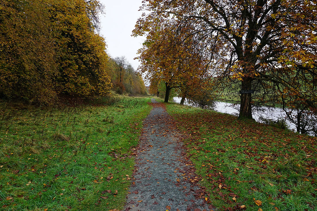
Onto the Dales Way towards Hebden
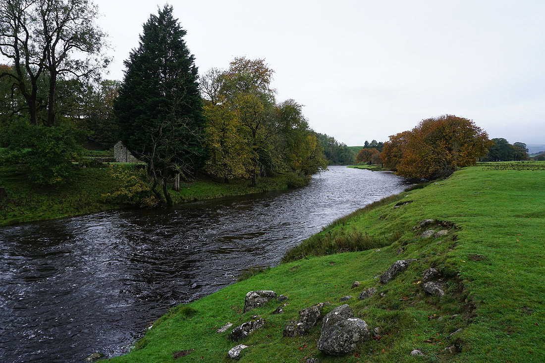
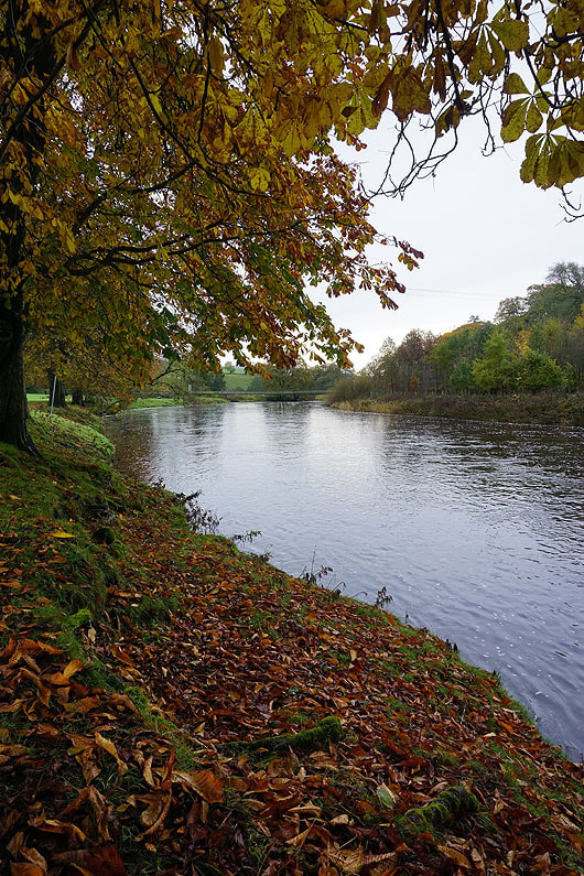
Autumn colours by the River Wharfe.....

|
|
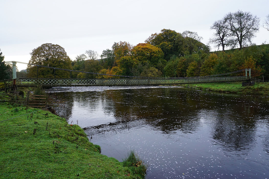
At the suspension bridge that carries the Dales Way across the River Wharfe. This is where I'll leave it behind and take the footpath up to Mill Lane and Bank Top.

The footpath threads a narrow gap
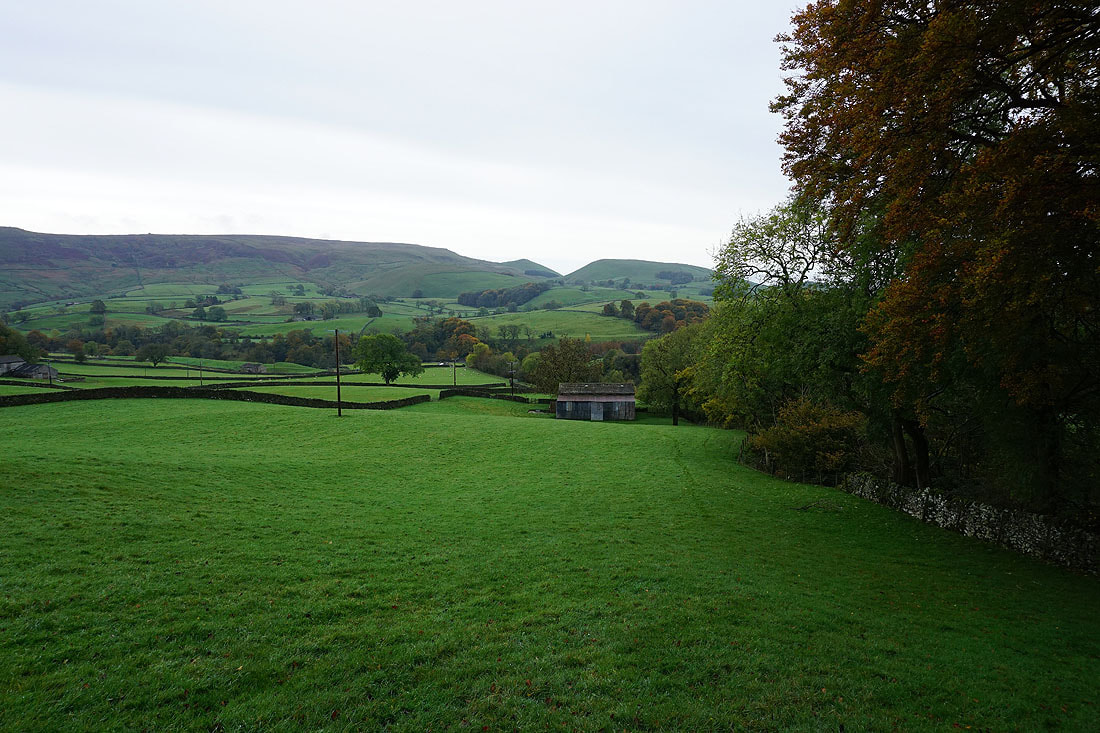
Looking back to Burnsall Fell and Elbolton Hill on the other side of Wharfedale..

..as I follow the footpath up to Bank Top on the B6265
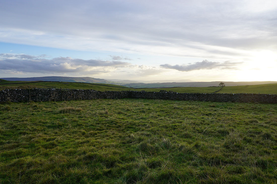
To my left, the village of Hebden nestled in the valley of Hebden Beck

and behind me, Burnsall Fell and Elbolton Hill on the other side of Wharfedale
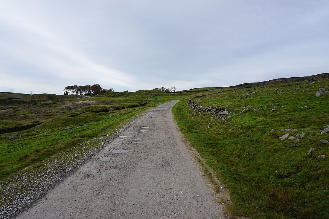
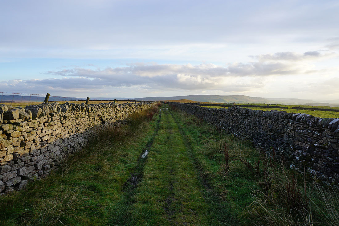
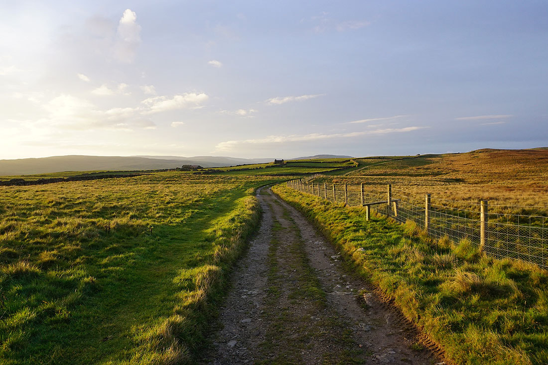
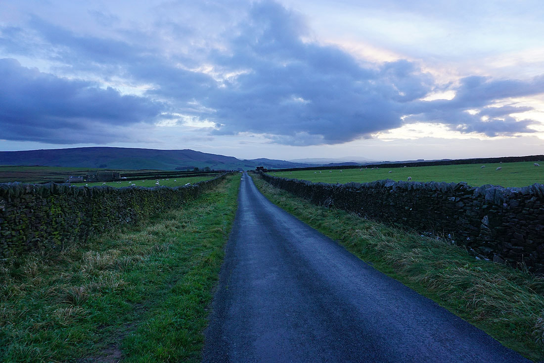
Having crossed the B6265, on my way up the track of Backstone Edge Lane..
I leave Backstone Edge Lane to cross Mossy Moor
Passing Mossy Moor Reservoir
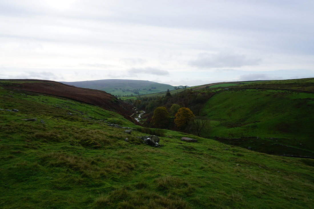
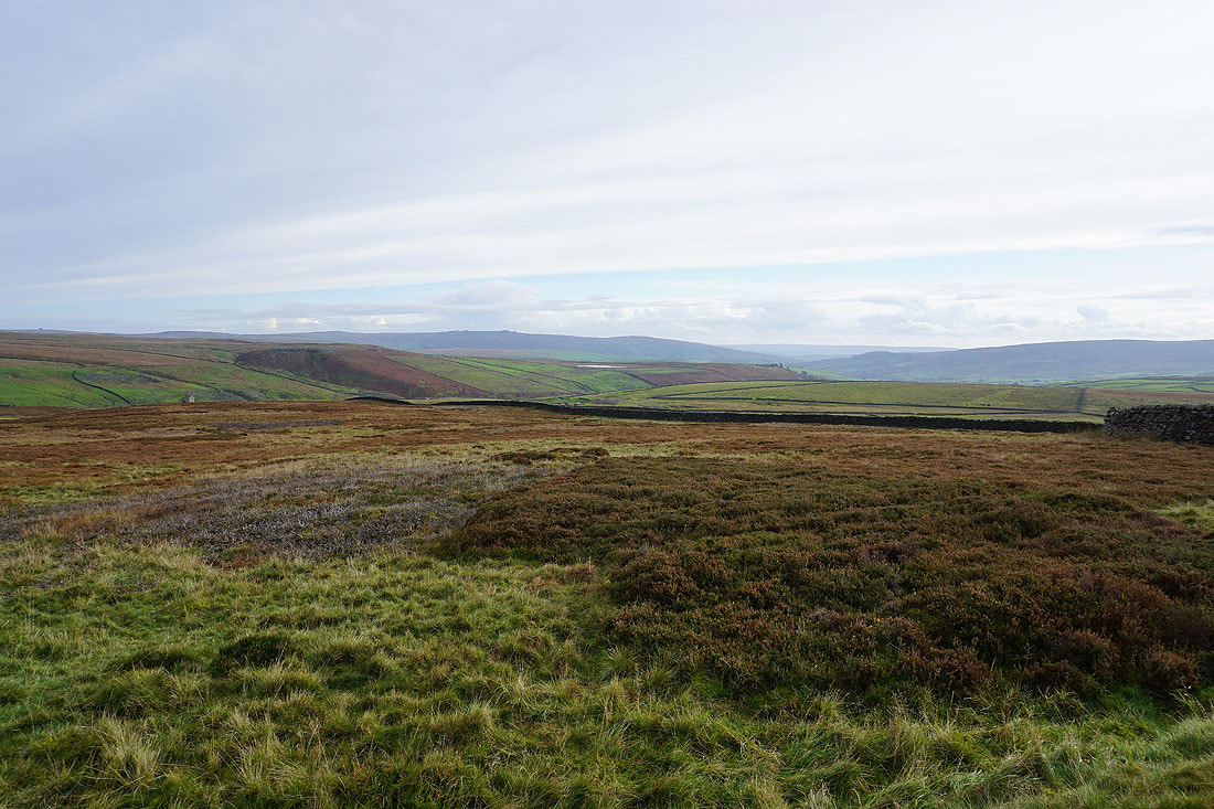
Looking up the valley of Hebden Beck to Grassington Moor
It's a steep descent down the footpath from Scar Top House to Hebden Beck..
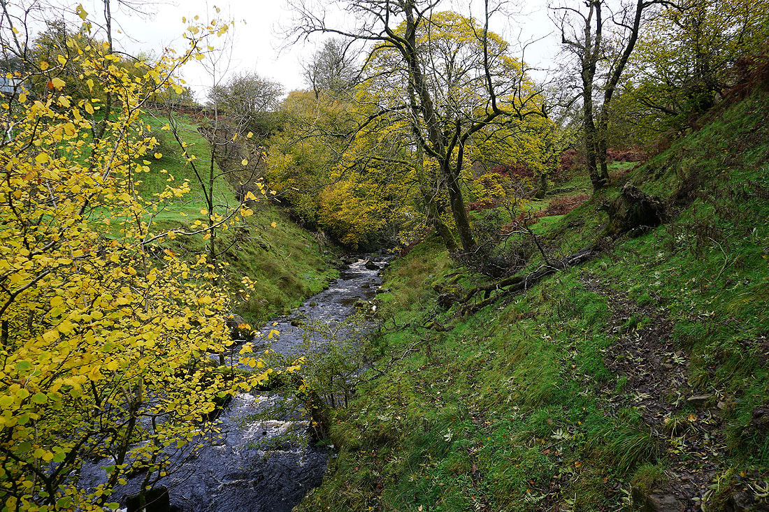
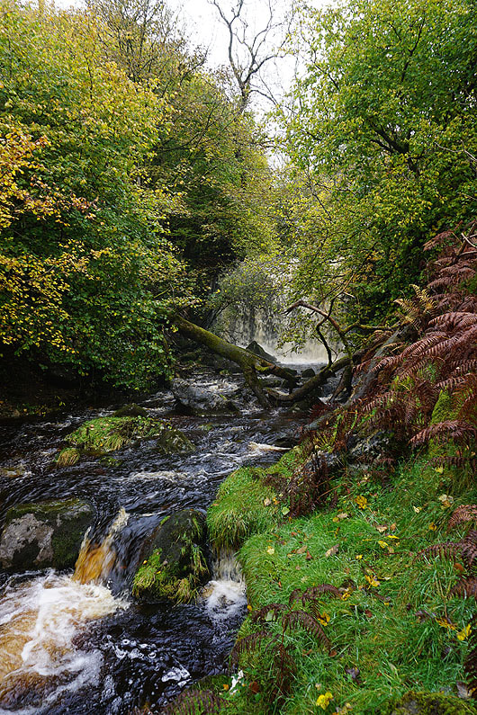
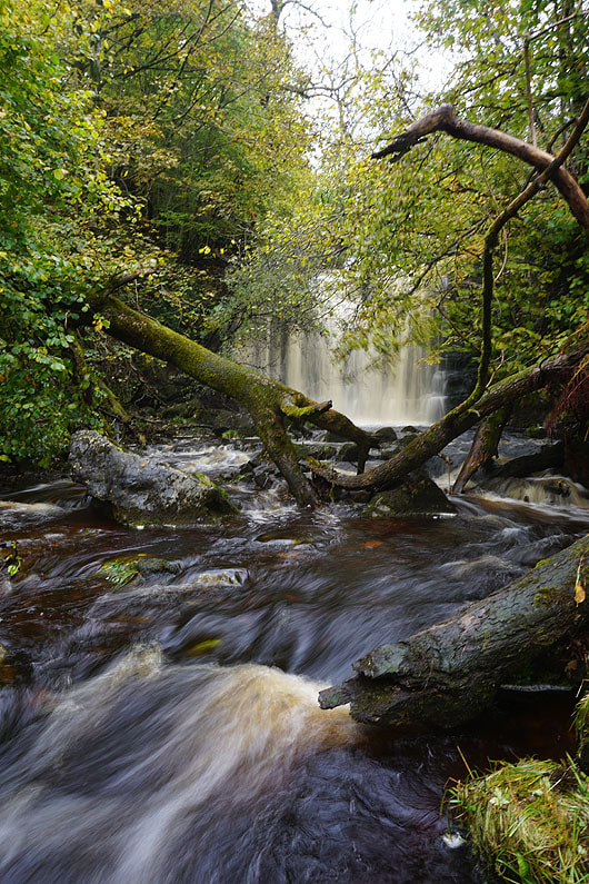
Down by Hebden Beck and I'm going to follow it upstream to the waterfall of Scale Haw Force
|
|
The waterfall of Scale Haw Force. There's too much water in the beck to get any closer, and to get across it. So, it's back up to Scar Top House.
Making my way north on the footpath across Mossy Moor
Looking back down the valley of Hebden Beck to Burnsall Fell in the distance

Following the footpath down to cross Hebden Beck..
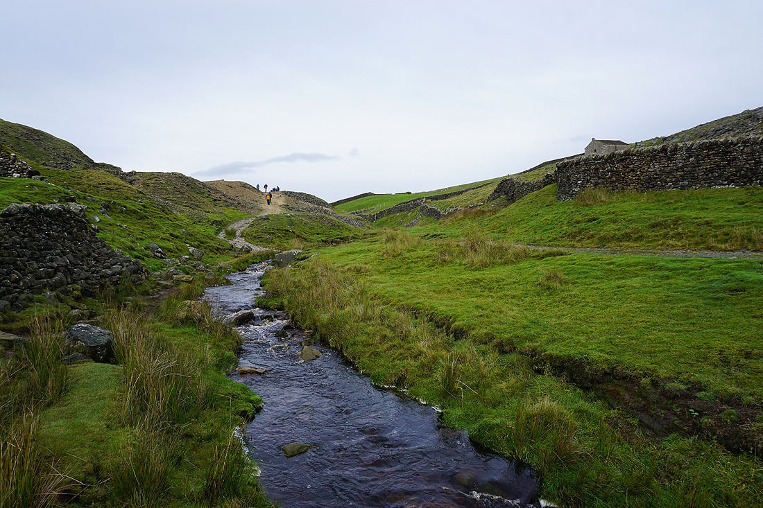
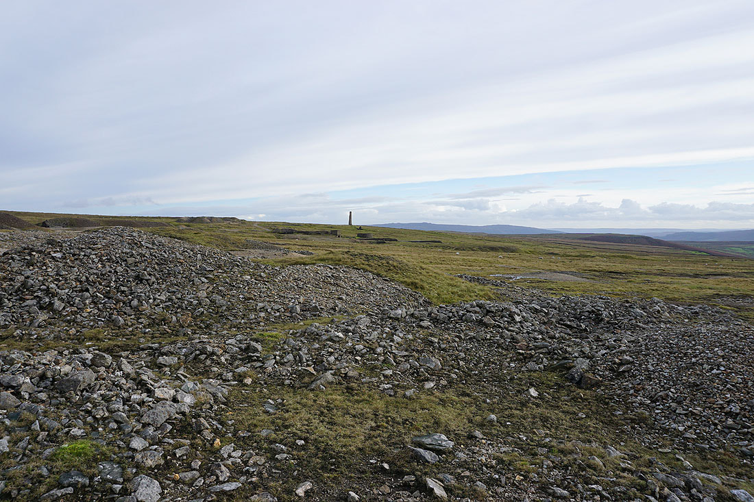
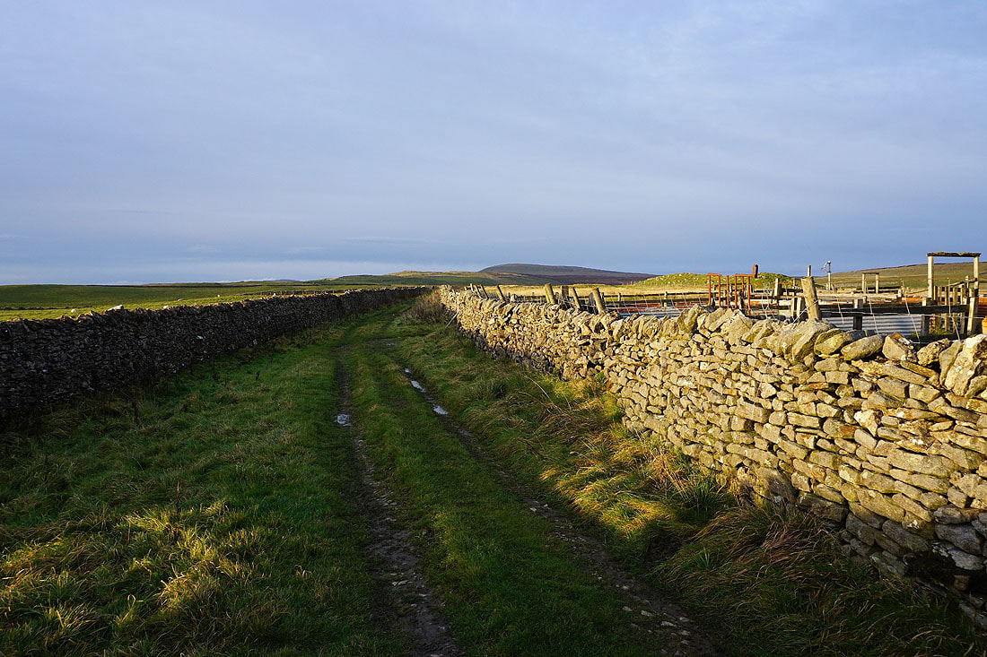
Amongst the disused tips and shafts of the Grassington Lead Mines..
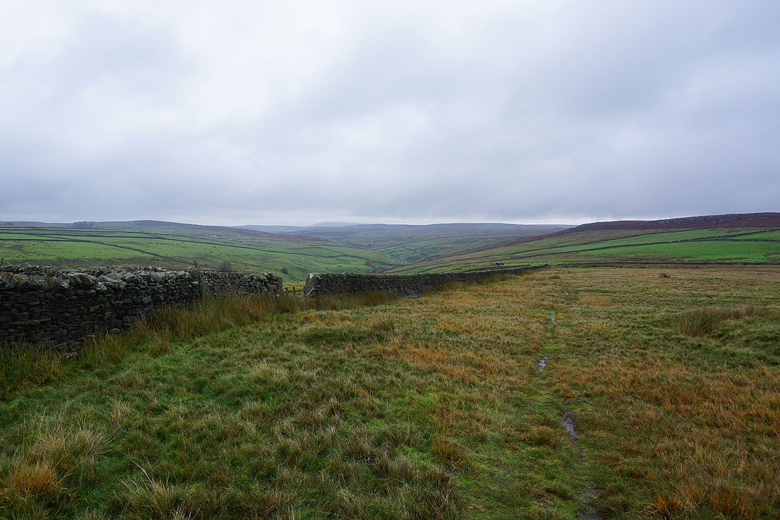
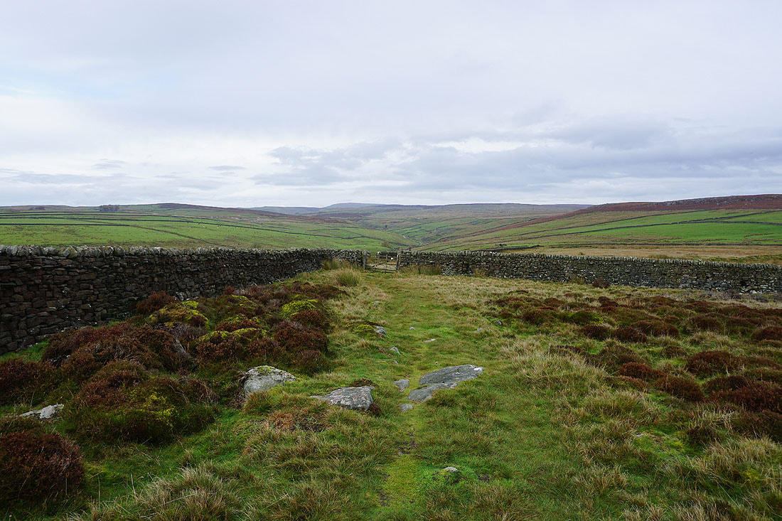
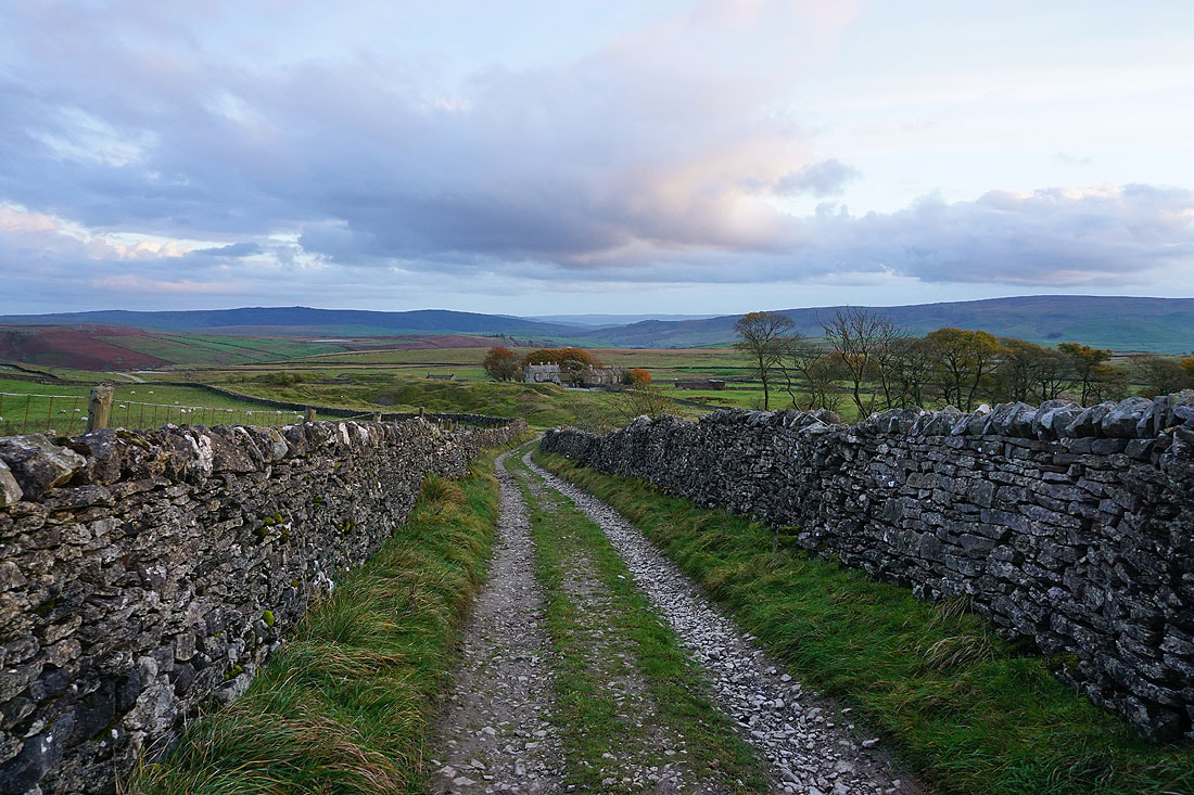
Following the track up to the hamlet of Yarnbury

Yarnbury from Old Moor Lane. There's a bench here that was a good place to stop for lunch.
Simon's Seat in the distance beyond Bolton Haw and Mossy Moor
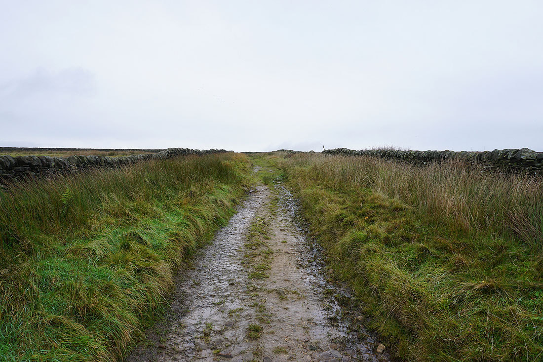
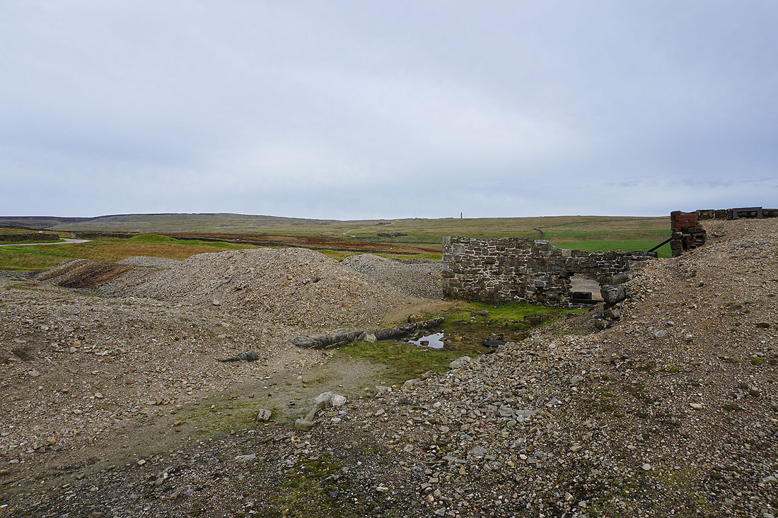
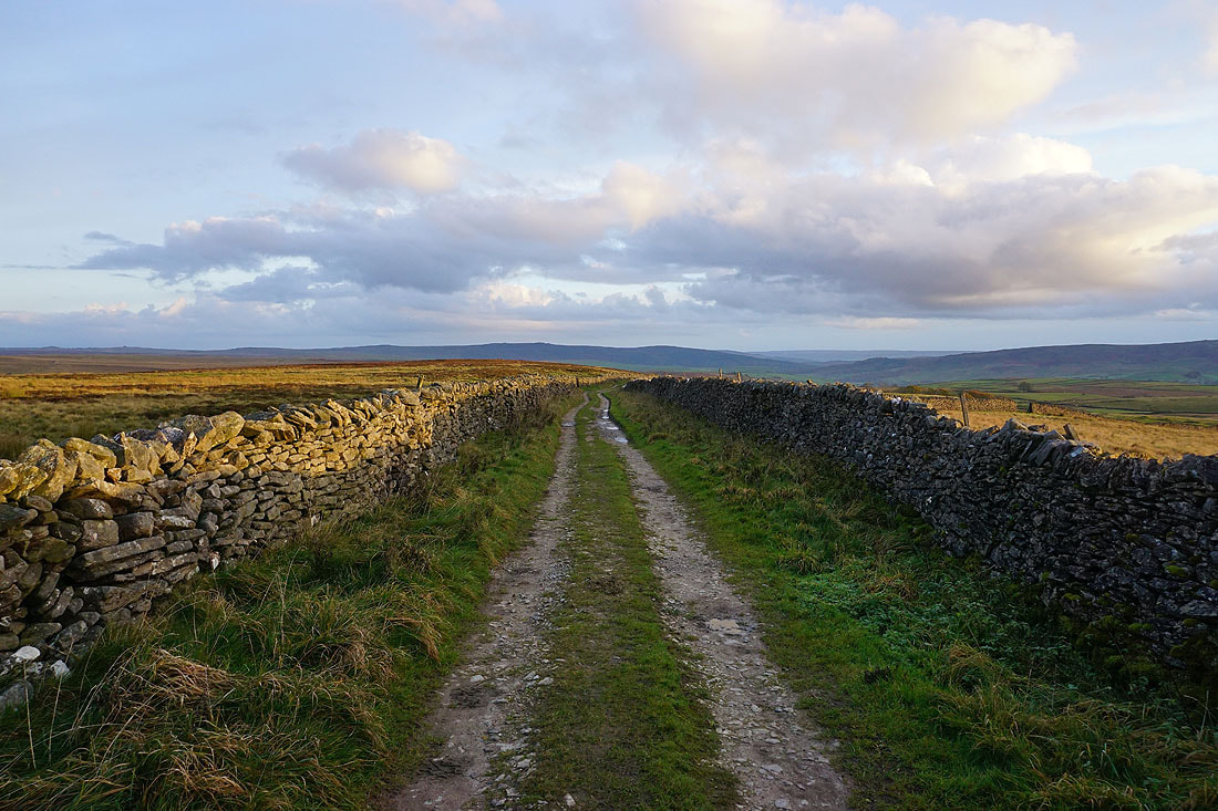
Heading north along Old Moor Lane to the ruins of the Grassington Lead Mines
Amongst the ruins of the Grassington Lead Mines..

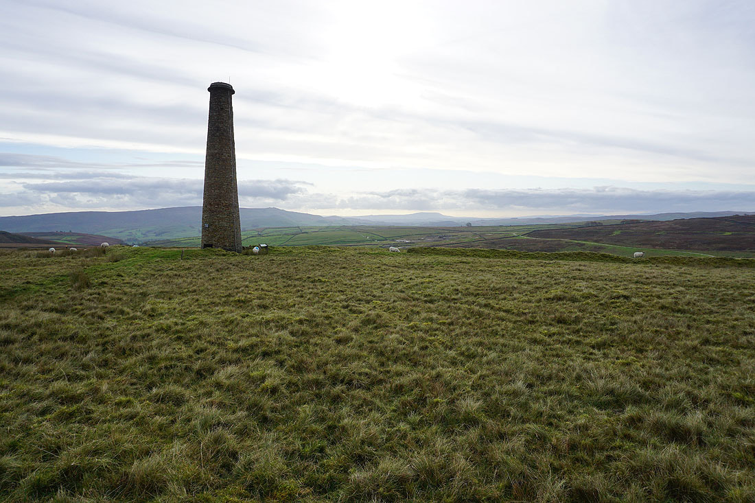
Burnsall Fell and Pendle Hill in the distance from the chimney on Grassington Moor
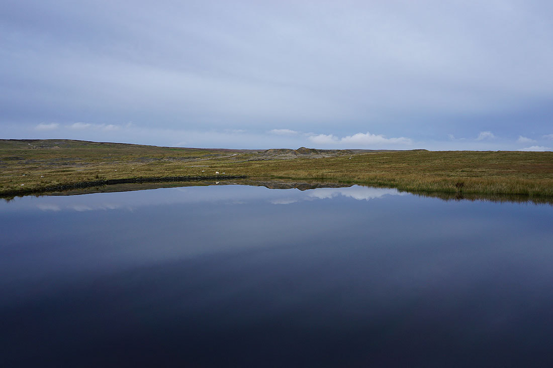
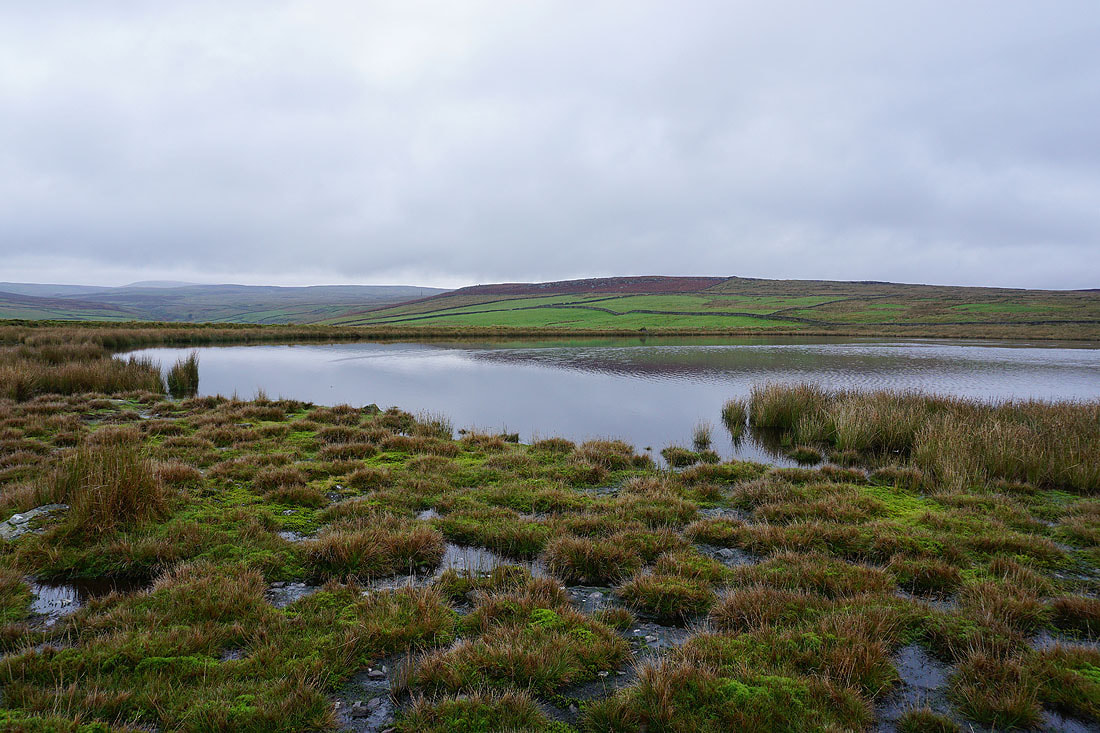
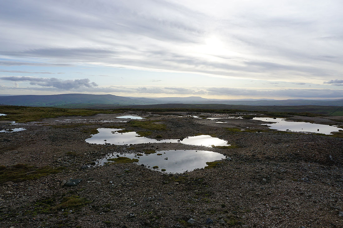
Just above the chimney is Coalgrovebeck Reservoir. There isn't a breath of wind, which results in some fantastic reflections...


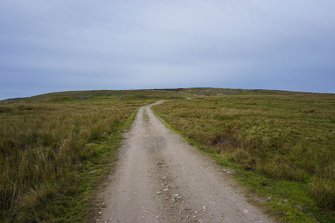
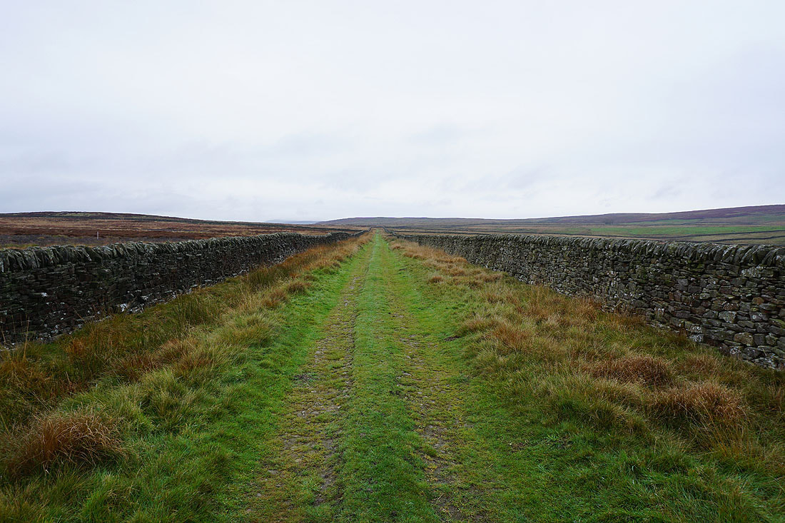
Following the track up onto Grassington Moor
Looking back from Grassington Moor, with Simon's Seat in the distance on the left and Burnsall Fell on the right..
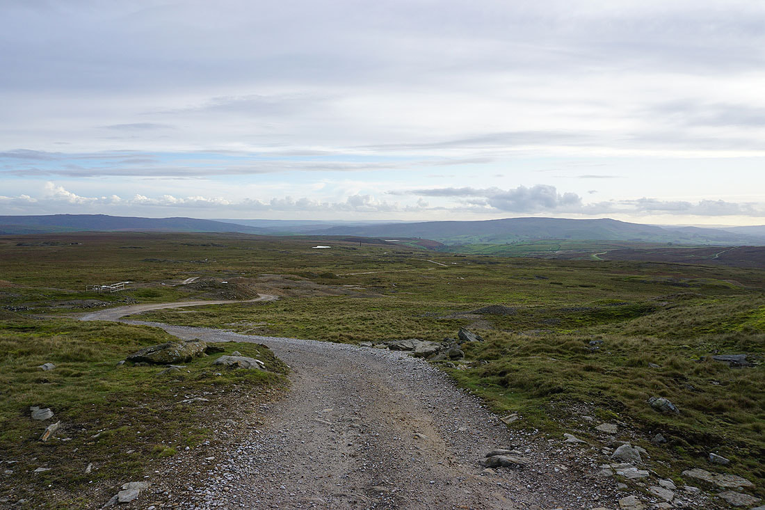

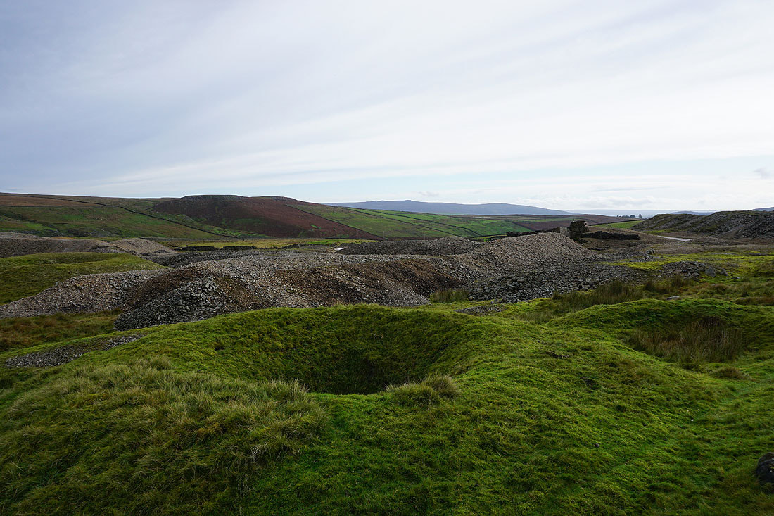
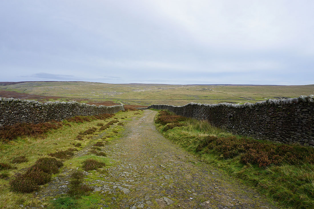
The track takes me northwest below Black Edge
The lead in the soil that's been left behind from the mining means that nothing can grow. It creates a bleak and stark landscape.
Looking south to Simon's Seat and Burnsall Fell from below Black Edge

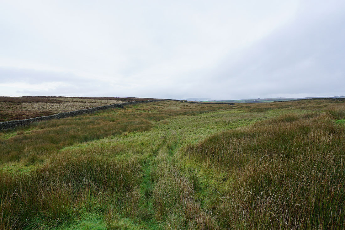
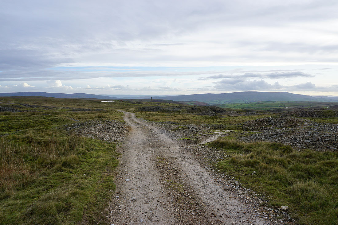
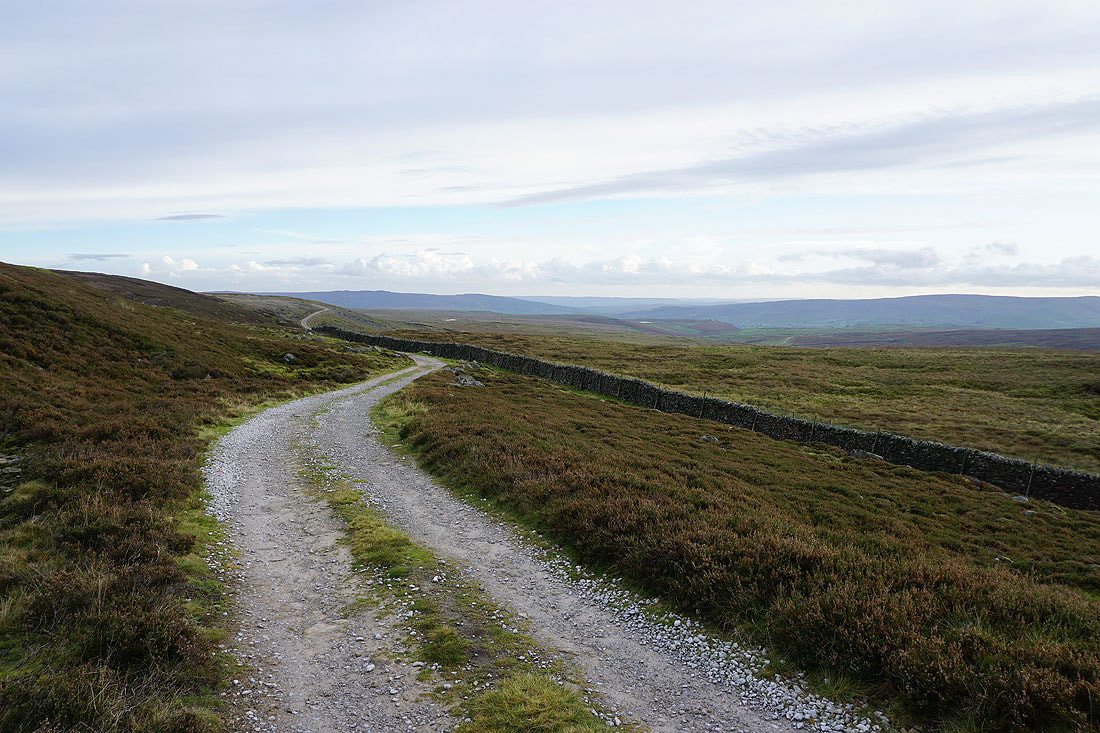
Following the track north to Mossdale
and then along the bridleway towards Kelber Gate

A cairn by the bridleway is my cue to leave it and take the footpath south across Downs Pasture
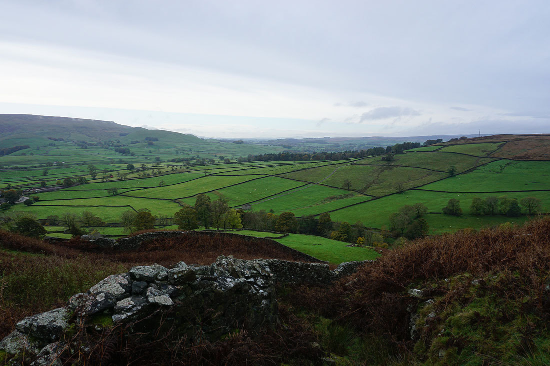
Looking across Wharfedale to Burnsall Fell on the left and Threshfield Moor on the right
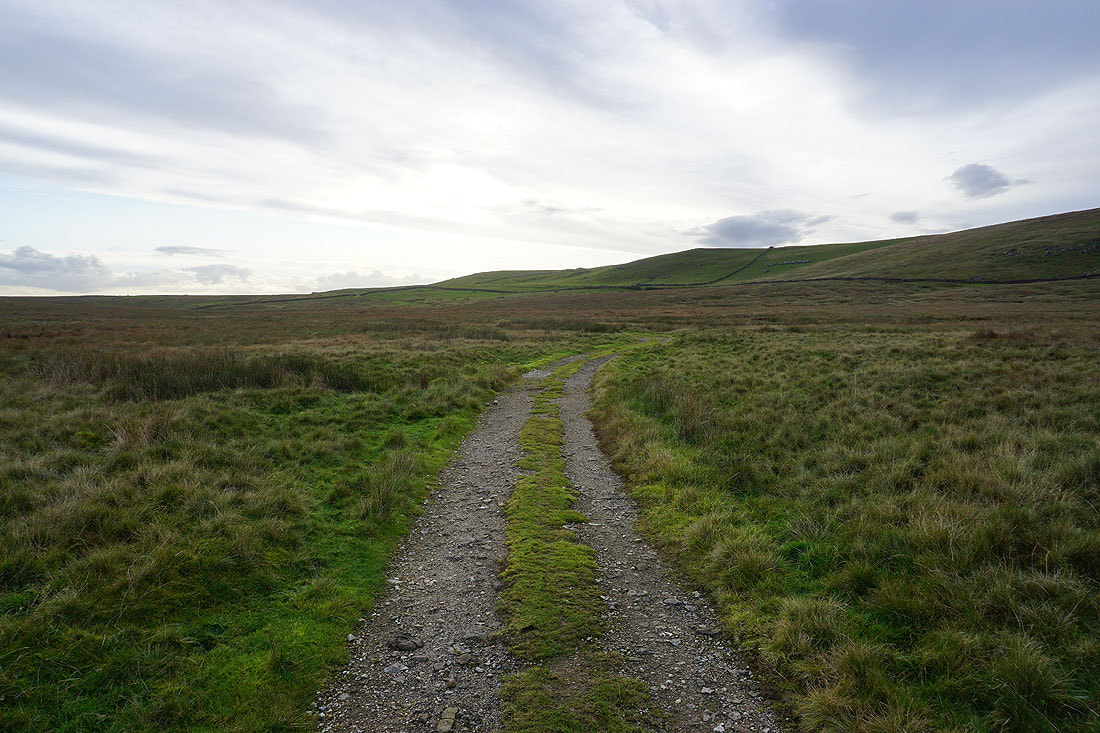
The footpath joins a track as it reaches Downs Pasture
Looking back to the southern end of Great Whernside in the distance

The sun is finally low enough to be below the cloud and give some great light and long shadows across the surrounding moor...
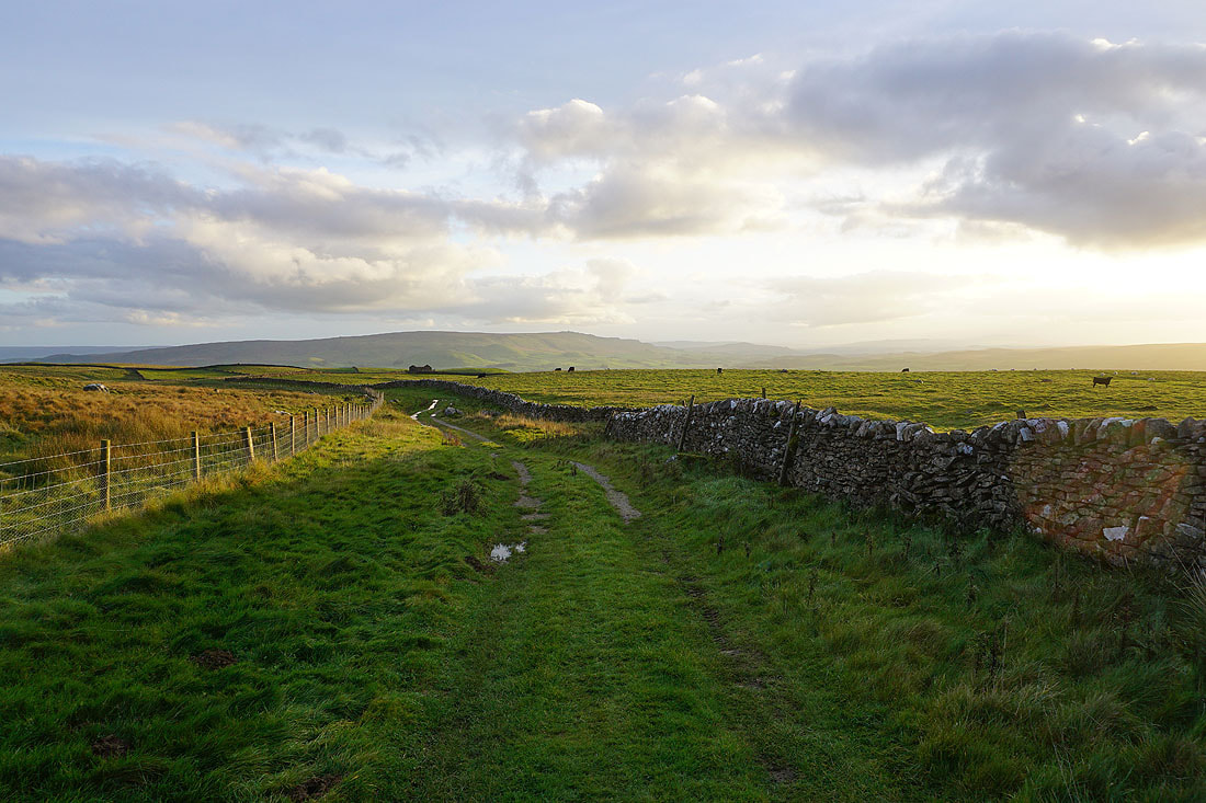
Following the track along New Pasture Edge
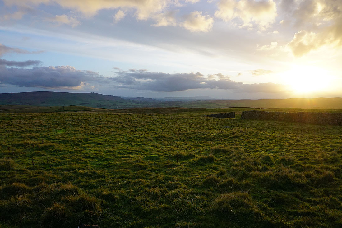
The last bit of sunshine. It was nice while it lasted.
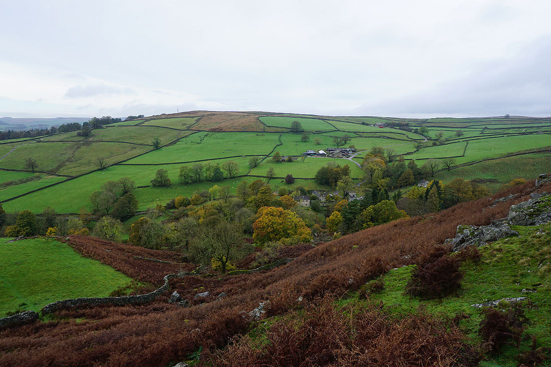
Heading down to Yarnbury
Walking down Moor Lane back to Grassington..
