29th September 2012 - Pinhaw Beacon
Walk Details
Distance walked: 6.5 miles
Total ascent: 1088 ft
OS map used: OL21 - South Pennines
Time taken: 4 hrs
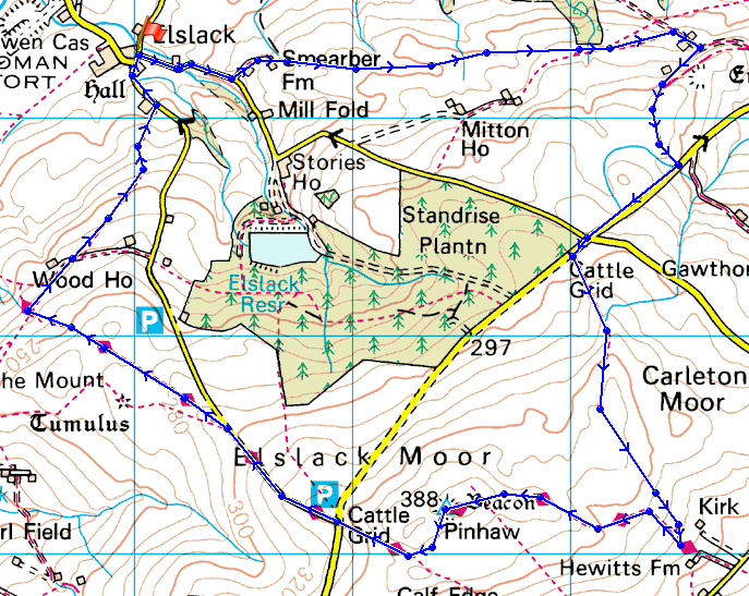
Route description: Elslack-Smearber Farm-Lower Scarcliff-High Scarcliff-Carleton Lane-Carleton Moor-Pennine Way-Pinhaw Beacon-Pennine Way-Wood House Farm-Elslack
This was my first ever visit to Pinhaw Beacon and I'll definitely be going back. It deserved better weather to appreciate the views that I should have been able to see. It was also very windy, not a day for the high fells.
From the start in Elslack I walked up Moor Lane until I reached the track to Smearber Farm. I went through the farmyard and then there were lots of fields to cross until the plantation near Lower Scarcliff was reached. A track passed Lower Scarcliff, Higher Scarcliff and across a stretch of moorland to reach Carleton Lane. I then walked uphill along the lane to reach Porridge Stoop which is at the crossroads with Moor Lane. A walk over Carleton Moor brought me to the Pennine Way for Pinhaw Beacon. From the beacon I followed the Pennine Way until Wood House farm and then a path across fields back to Elslack.
Route map
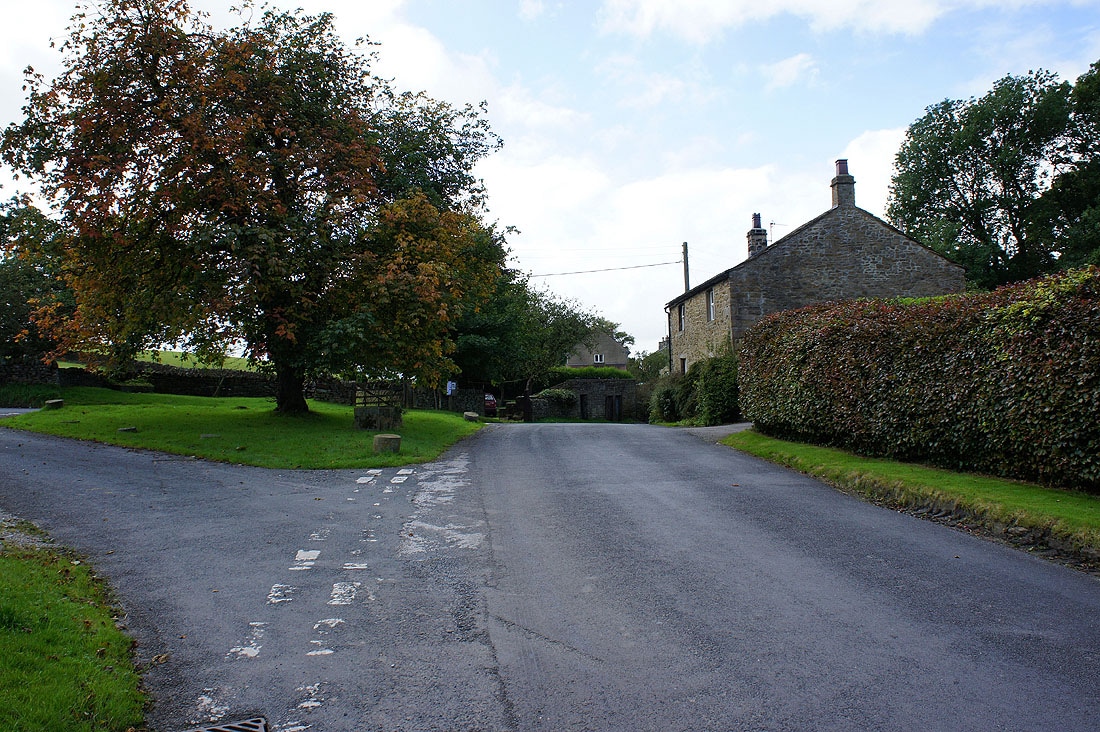
Starting the walk in the hamlet of Elslack
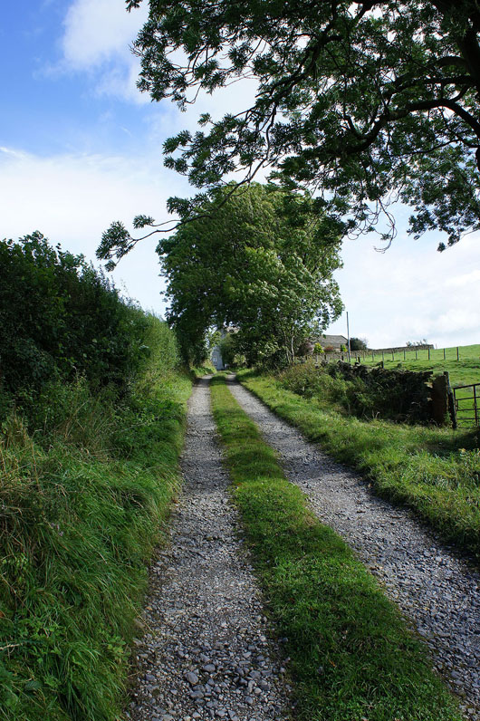
On the track to Smearber Farm
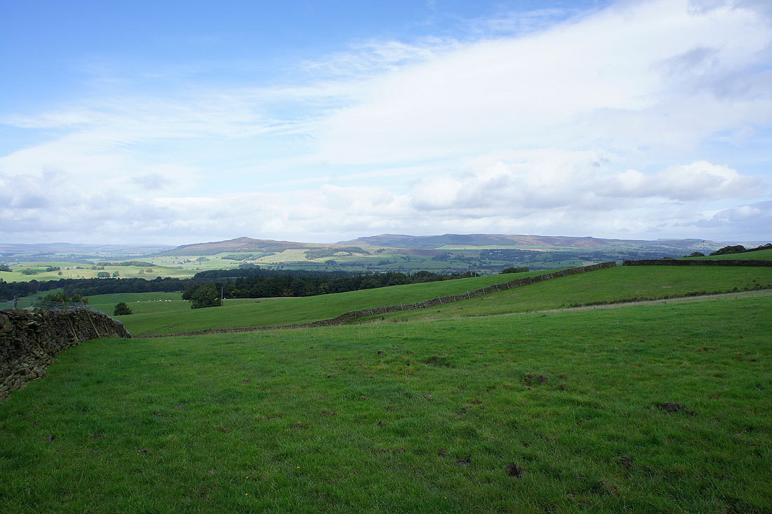
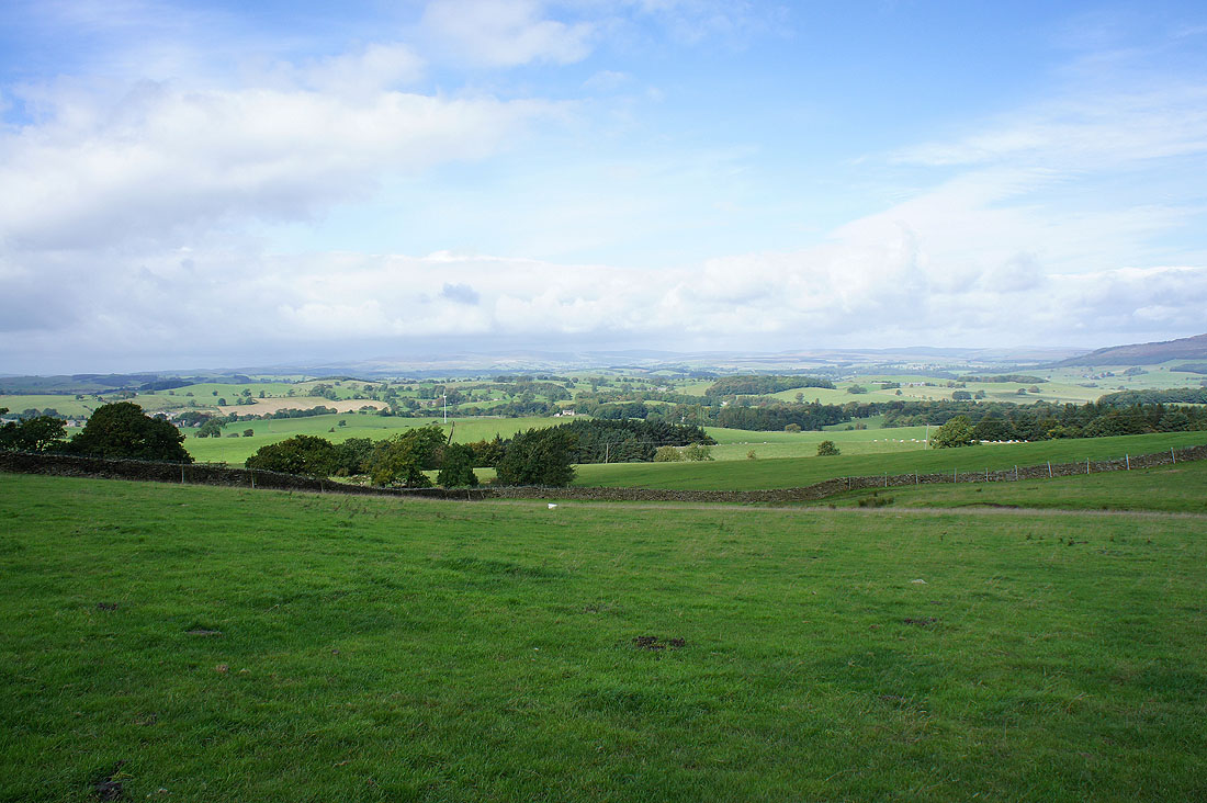
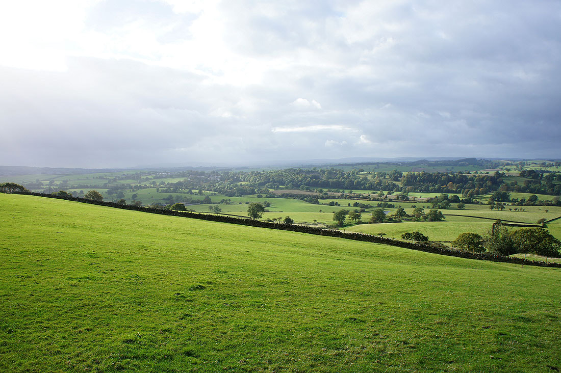
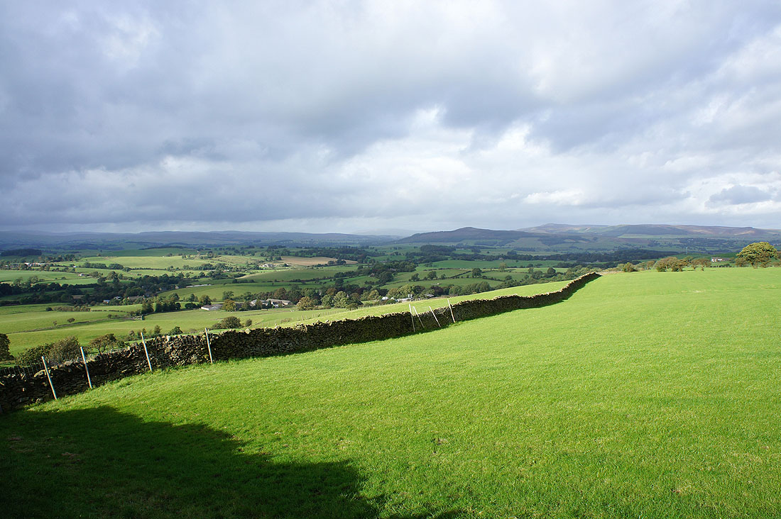
Crossing farmland with a view over Airedale to Flasby Fell, Crookrise Crag and Embsay Crag
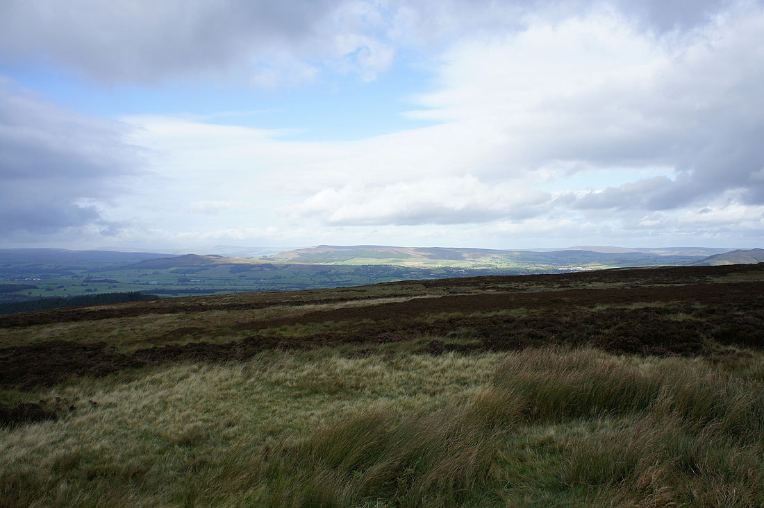
If the weather was better I'd be able to make out Ingleborough and Penyghent looking towards Malhamdale
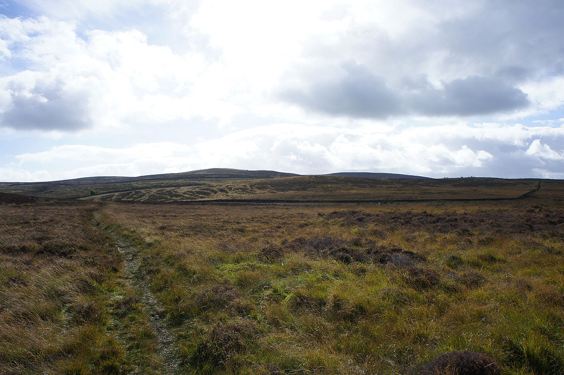
At Higher Scarcliff I entered access land to cross the moors with Carleton Moor still to come
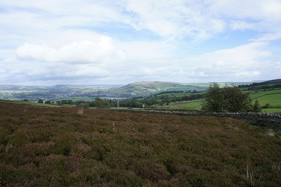
Skipton and Skipton Moor
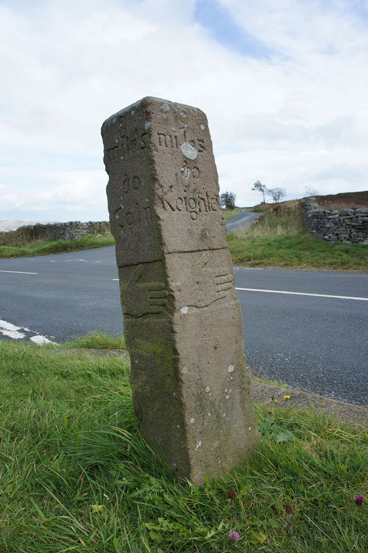
The 18th century guide-post of Porridge Stoop
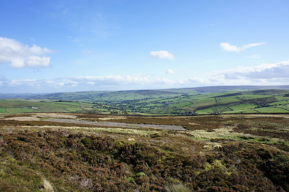
I've crossed Carleton Moor and I'm now on the Pennine Way and heading for Pinhaw. Turning round, I have a view across Lothersdale to Earl Crag.
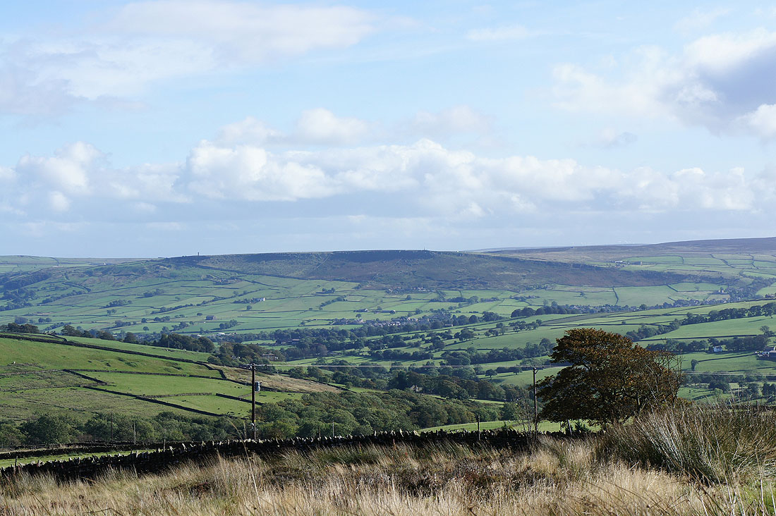
Zooming in on Earl Crag and you can just about make out its two towers. Lund's Tower on the left and Wainman's Pinnacle on the right.
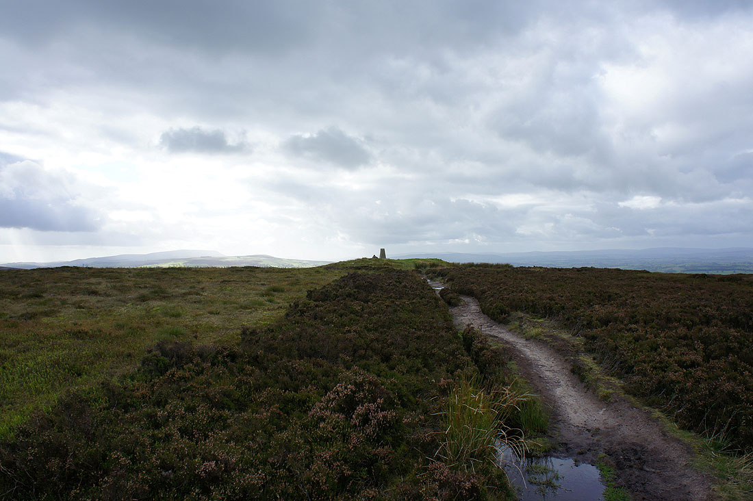
Pinhaw Beacon ahead
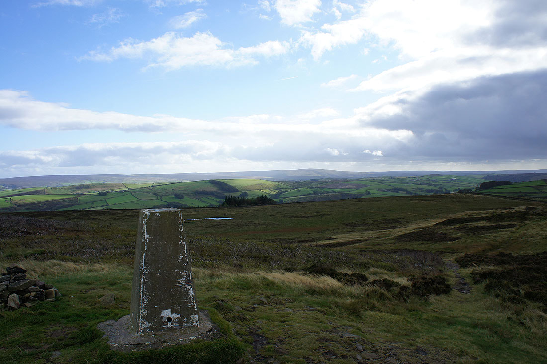
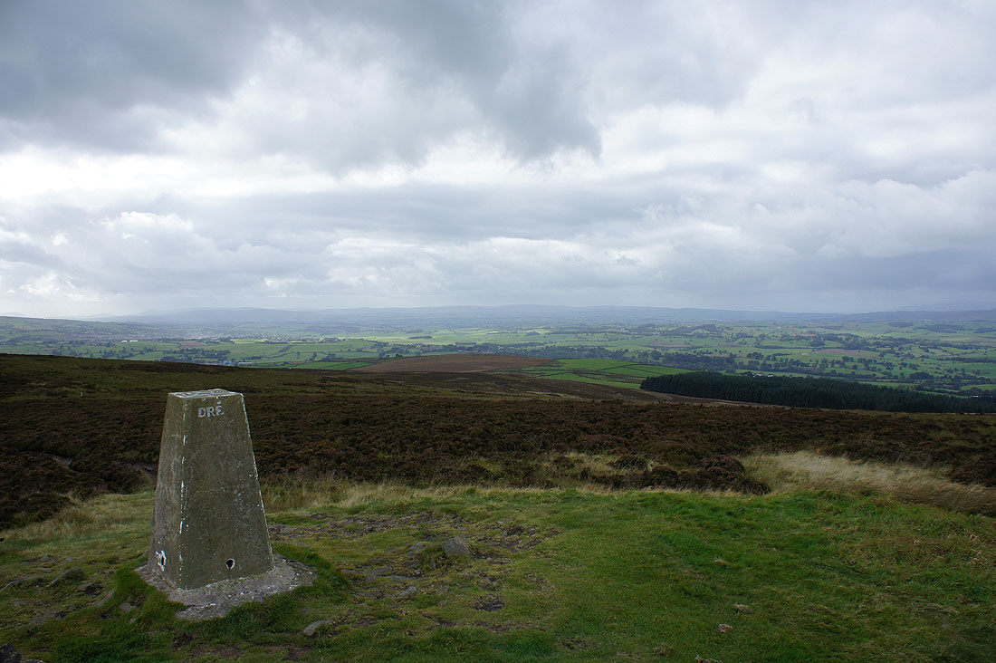
Views from the summit of Pinhaw Beacon. Boulsworth Hill in the distance.
Flasby Fell and Embsay Moor
The Forest of Bowland in the distance
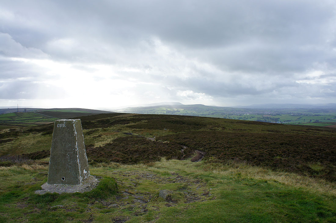
Weets Hill with Pendle Hill behind getting the sun
Panorama looking south
and looking to the west and north
From Pinhaw Beacon I continued on the Pennine Way but just ahead I'm about to leave it at Wood House farm to head back to Elslack
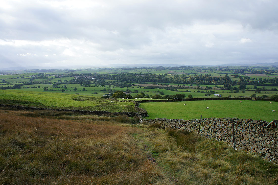
The village of Thornton-in-Craven is on the opposite side of the valley. I'm heading in the other direction though.
Nearly there. Elslack is just below at the bottom of the hill.
