29th September 2018 - Around the Sett Valley
Walk Details
Distance walked: 10.5 miles
Total ascent; 2303 ft
OS map used: OL1 - The Peak District, Dark Peak area
Time taken: 7 hrs
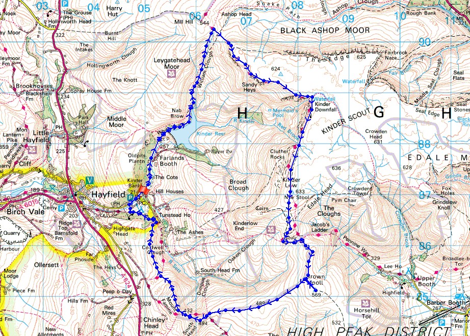
Route description: Bowden Bridge-Kinder Road-Kinder Reservoir-William Clough-Sandy Heys-Kinder Downfall-Kinder Low-Edale Rocks-Swine's Back-Edale Cross-Brown Knoll-South Head-Mount Famine-Stones House-Kinder Road-Bowden Bridge
It's not often that the weather is exactly the same two days in a row in this country (this summer had some exceptions) and it wasn't this time. The gloriously sunny skies and light winds that I enjoyed on Great Whernside yesterday hadn't lasted. I had to travel south into the Peak District today to find the best conditions. The southwestern corner of Kinder Scout from Bowden Bridge is a walk that I've done a few times now but it's not quite long enough to make it a full day's outing at this time of year. I decided to make it one by adding Brown Knoll, South Head and Mount Famine. I set off from Bowden Bridge under sunny skies but as I climbed William Clough to reach Kinder Scout the wind picked up, it clouded over and became quite grey. Fortunately the weather improved after midday, the cloud broke up, it became sunnier and it felt quite warm when it was out.
From the Kinder Road at Bowden Bridge I walked up the road to its end and then up the footpath to Kinder Reservoir. I then followed the path by the reservoir and up to the top of William Clough. After a short climb up onto the western end of Kinder Scout I made my way east along the edge to Kinder Downfall (a stop here for lunch), then south to the trig point on Kinder Low. I kept heading south down to Edale Rocks and Swine's Back to reach the bridleway at Edale Cross. This was followed east for a little while then the path south to the trig point on Brown Knoll. I then had to retrace my steps from the trig point so that I could pick up the path west from Brown Knoll to the Pennine Bridleway beneath South Head. I crossed the bridleway and after a short climb reached the summit of South Head. A short descent down to the bridleway was then followed by another short climb to the top of Mount Famine. From Mount Famine I followed the ridge north down to the bridleway to Bowden Bridge then up onto the ridge that continues north on access land. At the northern end of access land I made my way down the bridleway past Stones House that heads for Hayfield. As it passed the camp site I took a footpath signposted for the Kinder Road which took me through the site and up to the road where I turned right for a short walk back to where I was parked.
Total ascent; 2303 ft
OS map used: OL1 - The Peak District, Dark Peak area
Time taken: 7 hrs
Route description: Bowden Bridge-Kinder Road-Kinder Reservoir-William Clough-Sandy Heys-Kinder Downfall-Kinder Low-Edale Rocks-Swine's Back-Edale Cross-Brown Knoll-South Head-Mount Famine-Stones House-Kinder Road-Bowden Bridge
It's not often that the weather is exactly the same two days in a row in this country (this summer had some exceptions) and it wasn't this time. The gloriously sunny skies and light winds that I enjoyed on Great Whernside yesterday hadn't lasted. I had to travel south into the Peak District today to find the best conditions. The southwestern corner of Kinder Scout from Bowden Bridge is a walk that I've done a few times now but it's not quite long enough to make it a full day's outing at this time of year. I decided to make it one by adding Brown Knoll, South Head and Mount Famine. I set off from Bowden Bridge under sunny skies but as I climbed William Clough to reach Kinder Scout the wind picked up, it clouded over and became quite grey. Fortunately the weather improved after midday, the cloud broke up, it became sunnier and it felt quite warm when it was out.
From the Kinder Road at Bowden Bridge I walked up the road to its end and then up the footpath to Kinder Reservoir. I then followed the path by the reservoir and up to the top of William Clough. After a short climb up onto the western end of Kinder Scout I made my way east along the edge to Kinder Downfall (a stop here for lunch), then south to the trig point on Kinder Low. I kept heading south down to Edale Rocks and Swine's Back to reach the bridleway at Edale Cross. This was followed east for a little while then the path south to the trig point on Brown Knoll. I then had to retrace my steps from the trig point so that I could pick up the path west from Brown Knoll to the Pennine Bridleway beneath South Head. I crossed the bridleway and after a short climb reached the summit of South Head. A short descent down to the bridleway was then followed by another short climb to the top of Mount Famine. From Mount Famine I followed the ridge north down to the bridleway to Bowden Bridge then up onto the ridge that continues north on access land. At the northern end of access land I made my way down the bridleway past Stones House that heads for Hayfield. As it passed the camp site I took a footpath signposted for the Kinder Road which took me through the site and up to the road where I turned right for a short walk back to where I was parked.
Route map
© Crown copyright. All rights reserved. License number PU 100034184.
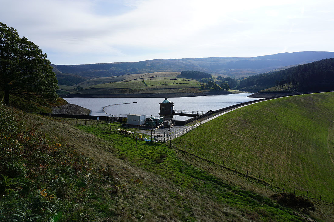
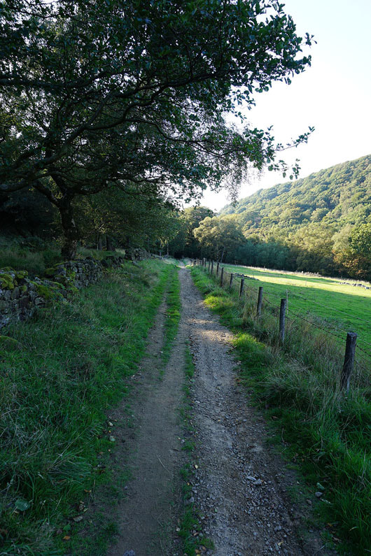
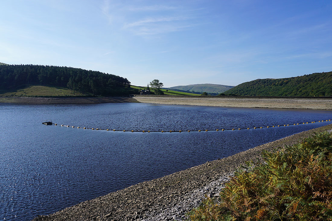
Making my way past Kinder Reservoir..
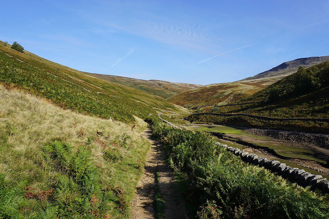
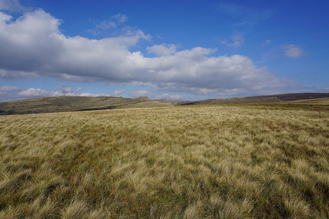
Heading for the path up William Clough and it's lovely and sunny at the moment
|
|
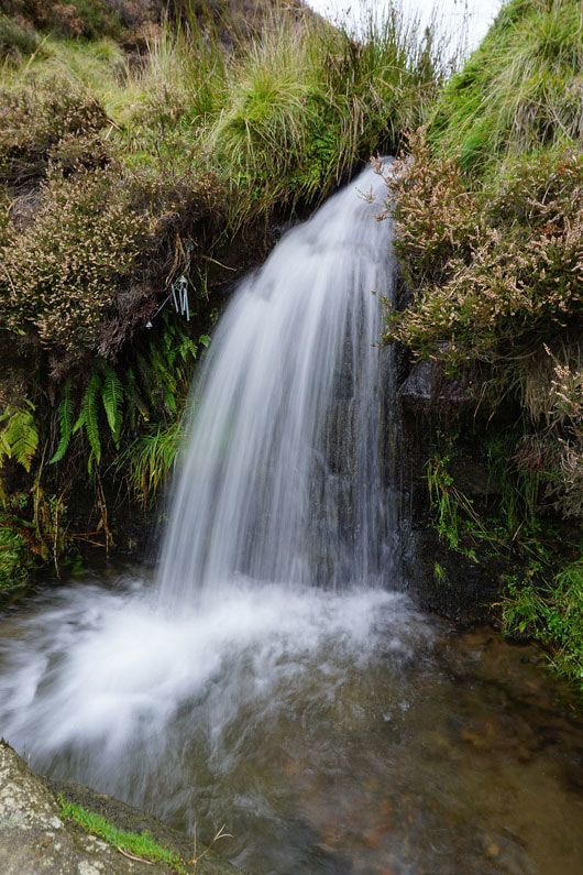
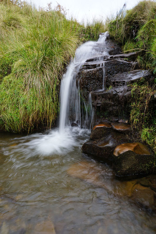
There are numerous little waterfalls in William Clough. I decided to stop and take a photo of a couple of them.
Looking back down William Clough to Kinder Reservoir as I reach its top
Mill Hill from the western edge of Kinder Scout
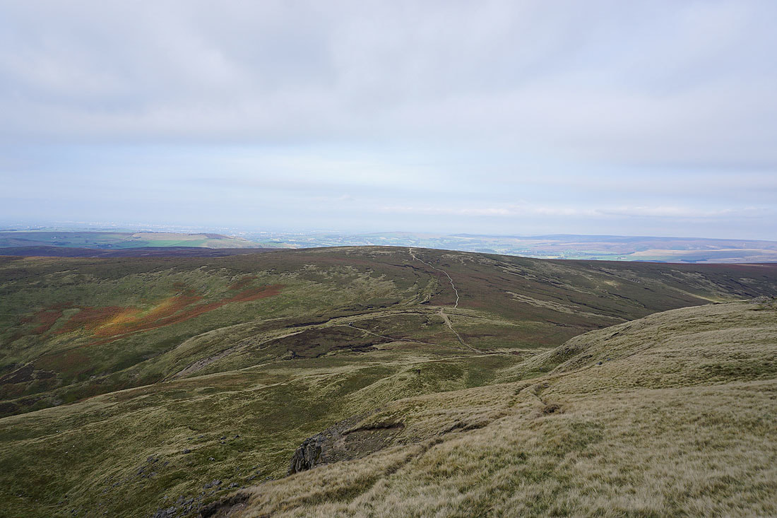
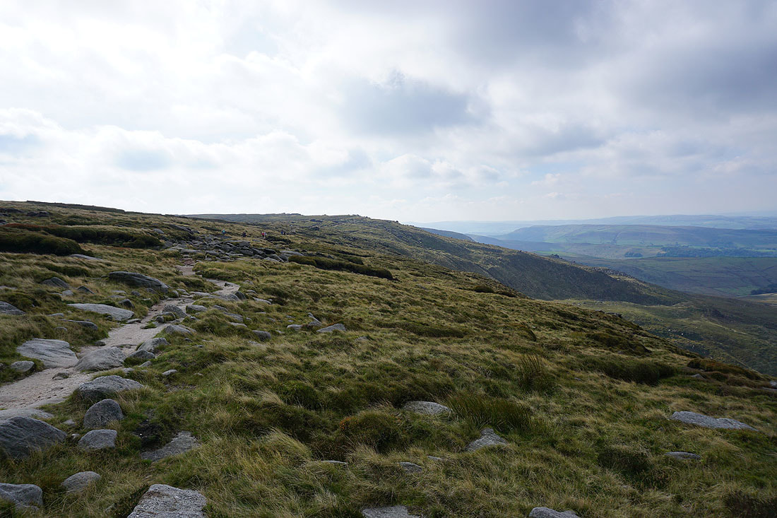
Heading east along the southern edge of Kinder Scout towards Sandy Heys. It's clouded over quite a bit since I started making my way up William Clough.
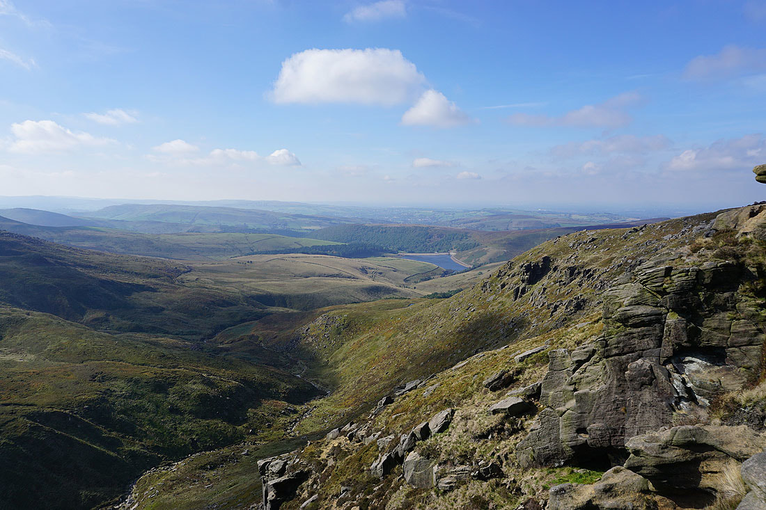
Kinder Reservoir below
Looking back to the western end of Kinder Scout
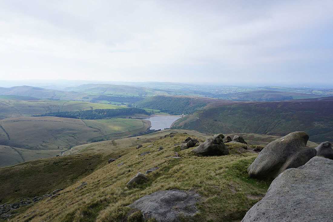
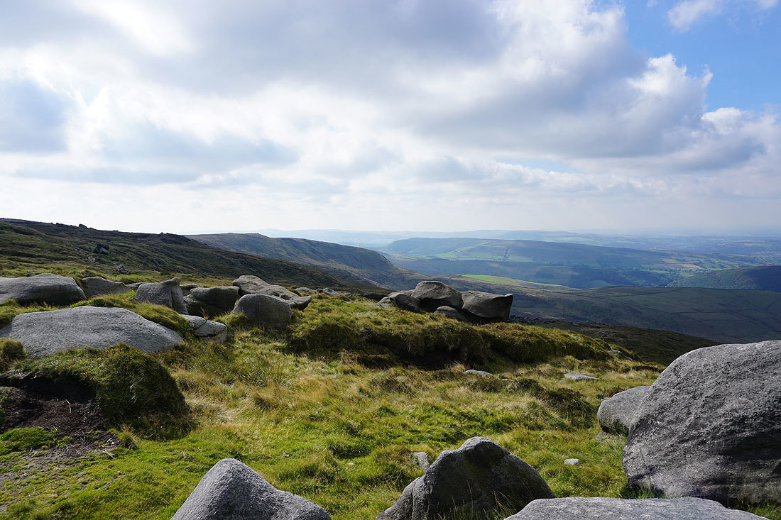
Kinder Reservoir from Sandy Heys
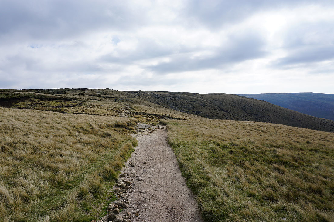
Heading for Kinder Downfall
Looking across the valley of the River Kinder to Kinder Low
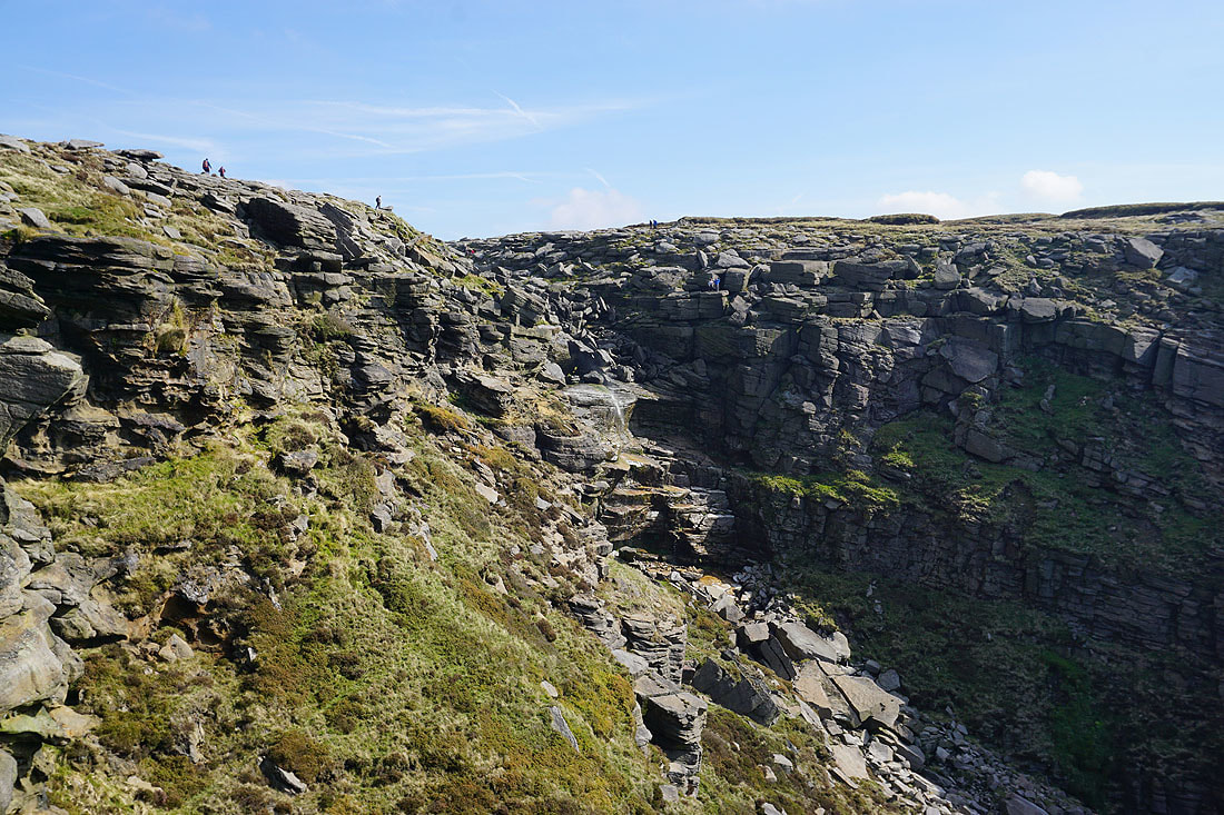
My lunch stop with a great view of Kinder Downfall. I'm on the top of a crag below the main path and while I was here a lot of the cloud melted away and the sun returned.
Great views from the top of the crags along this western edge of Kinder Scout..
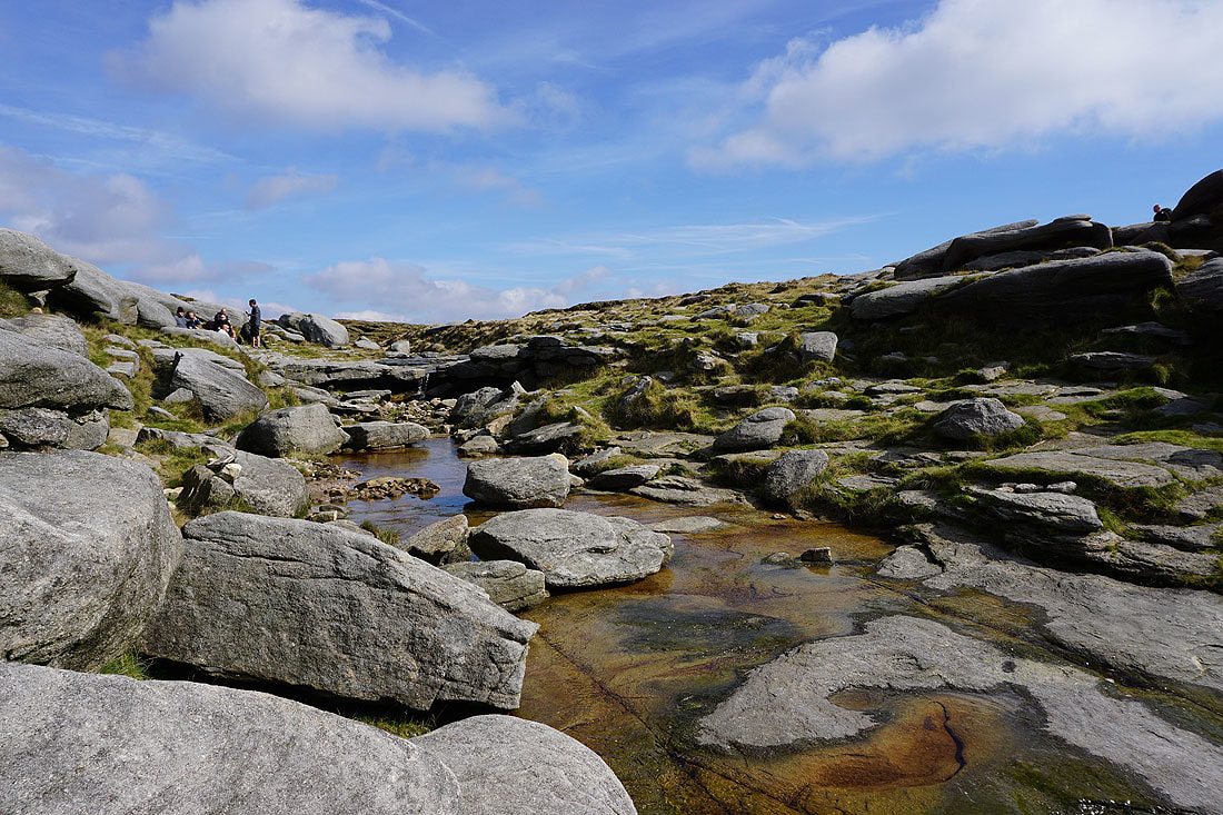
Crossing the River Kinder..
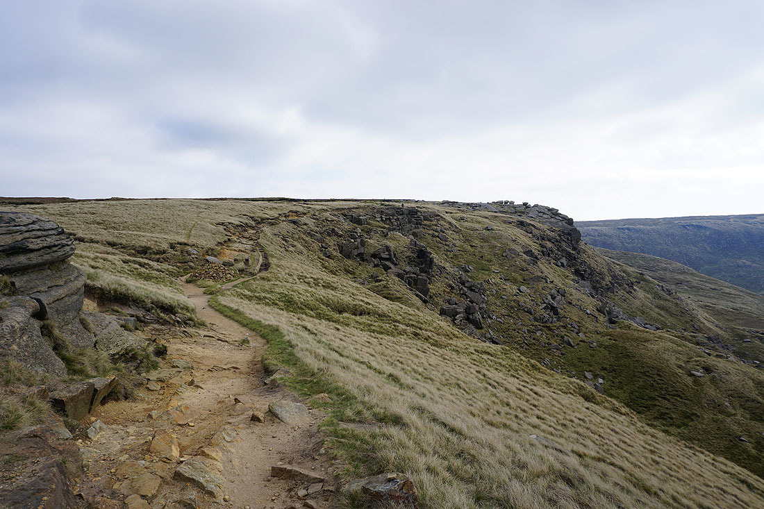
Heading south to Kinder Low
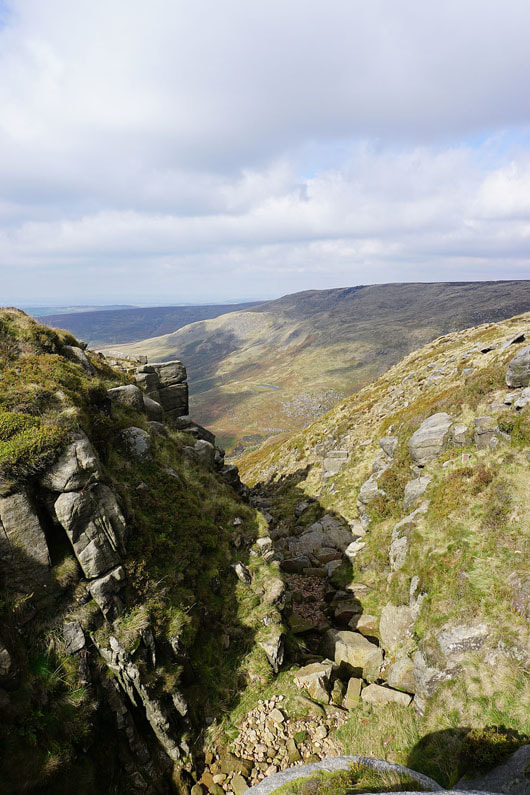
Crossing the top of Red Brook
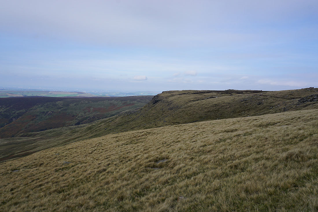
Kinderlow End on the left with Chinley Churn on the right
Looking across to the western end of Kinder Scout from Kinder Low
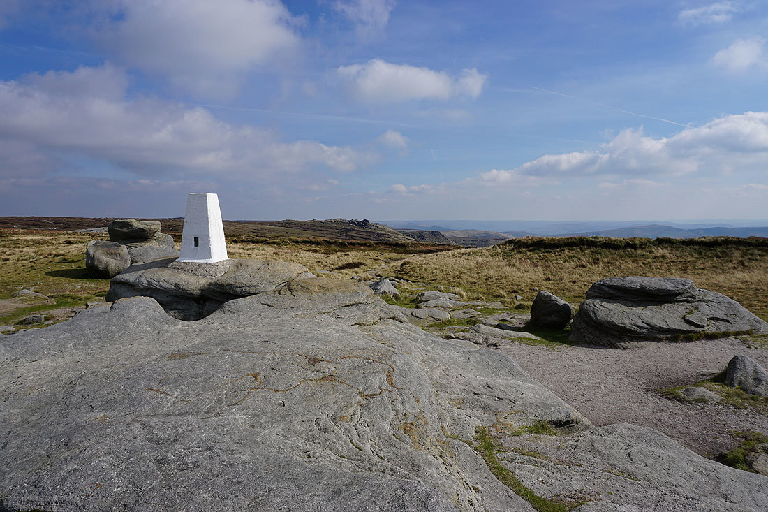
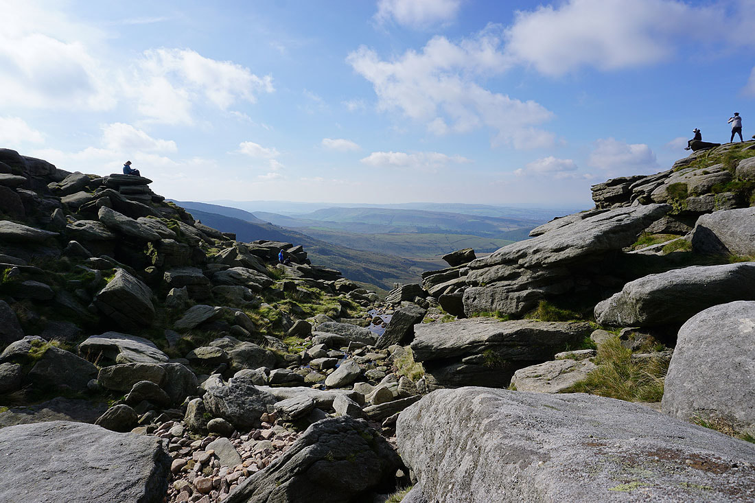
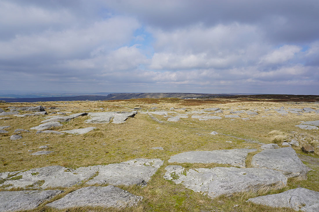
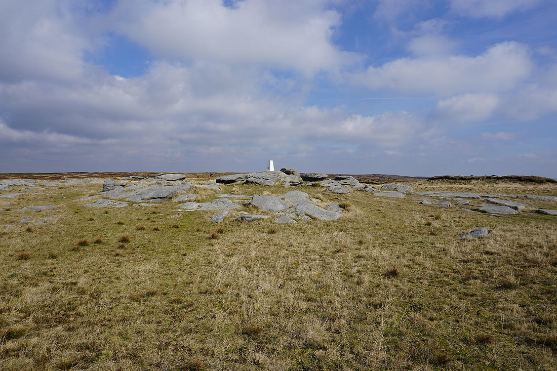
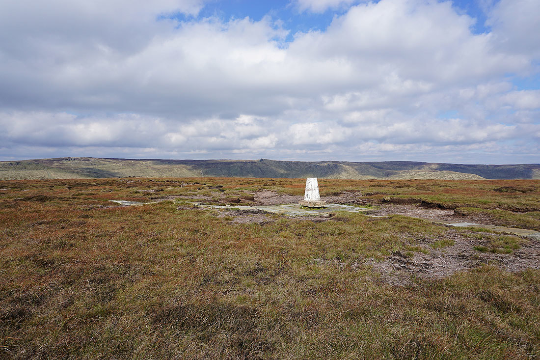
At the trig point on Kinder Low..
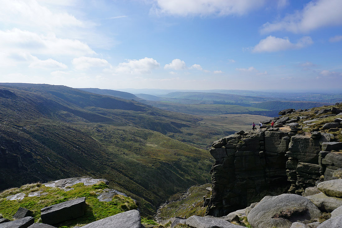
The Vale of Edale from Edale Rocks
I then moved on to Swine's Back for a view across to the Wool Packs and Crowden Tower
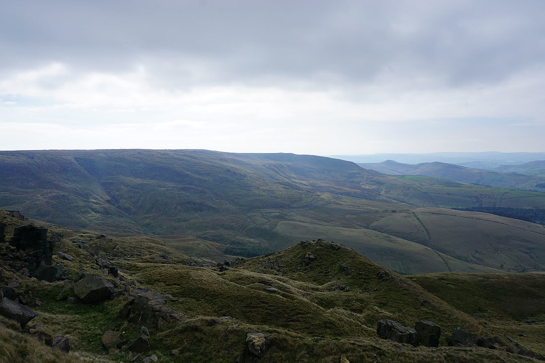
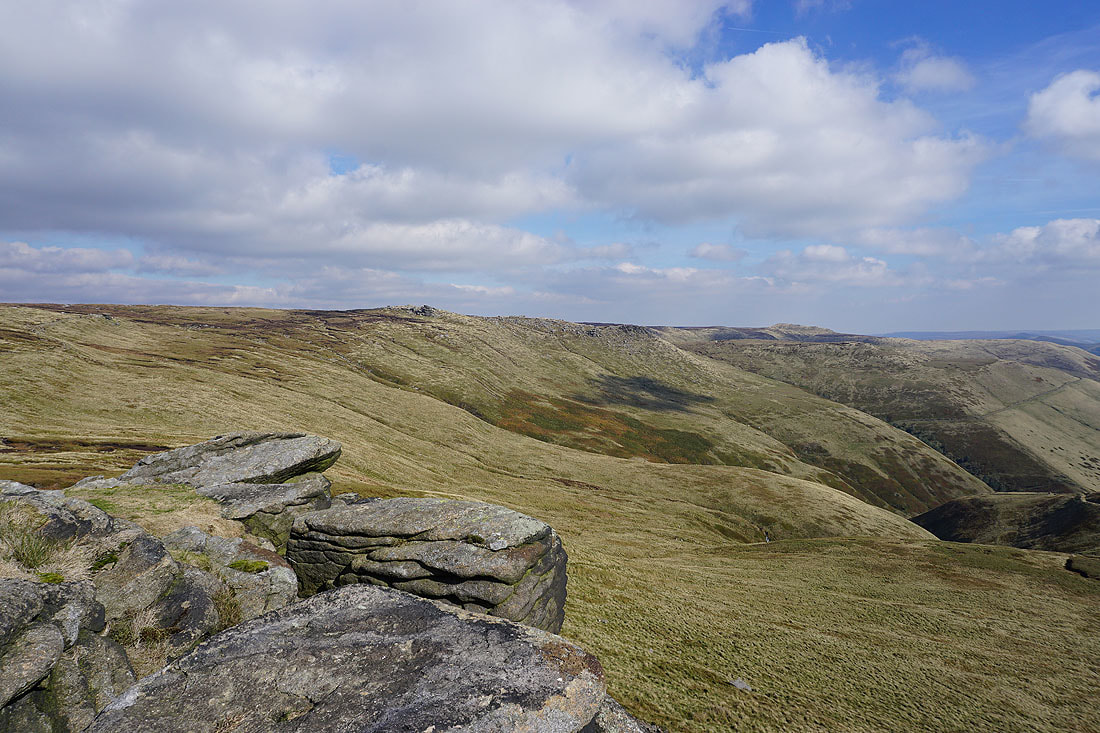
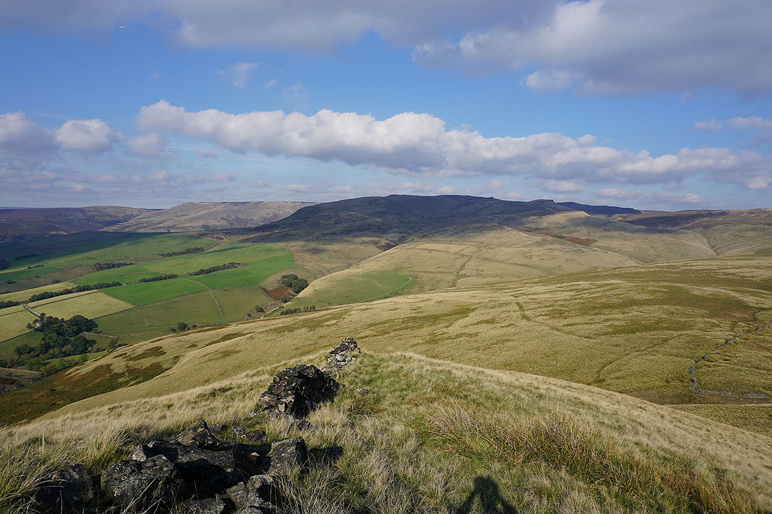
Looking across to Brown Knoll..
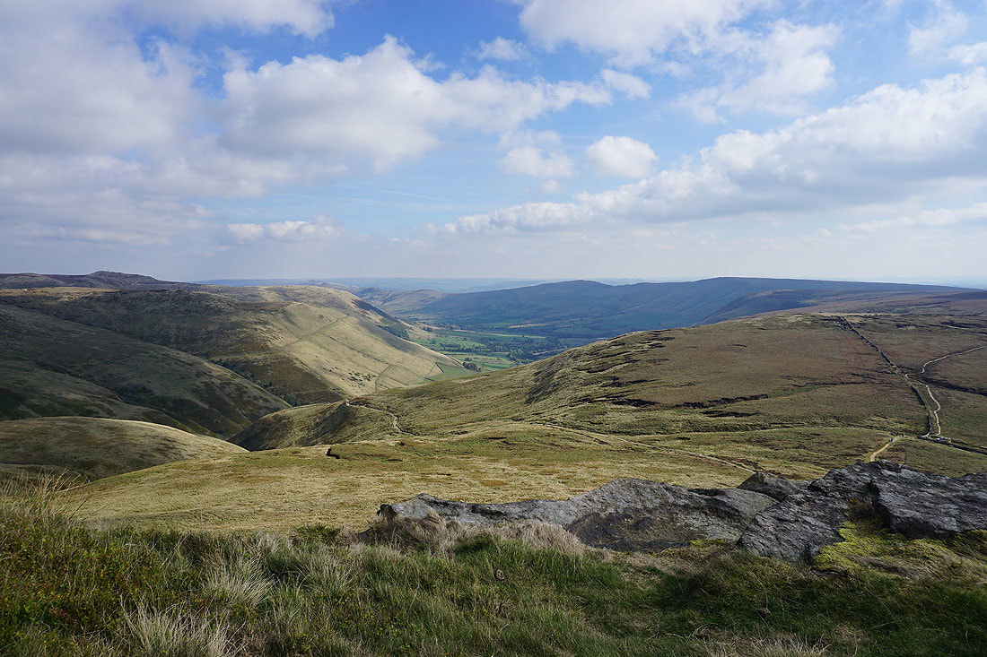
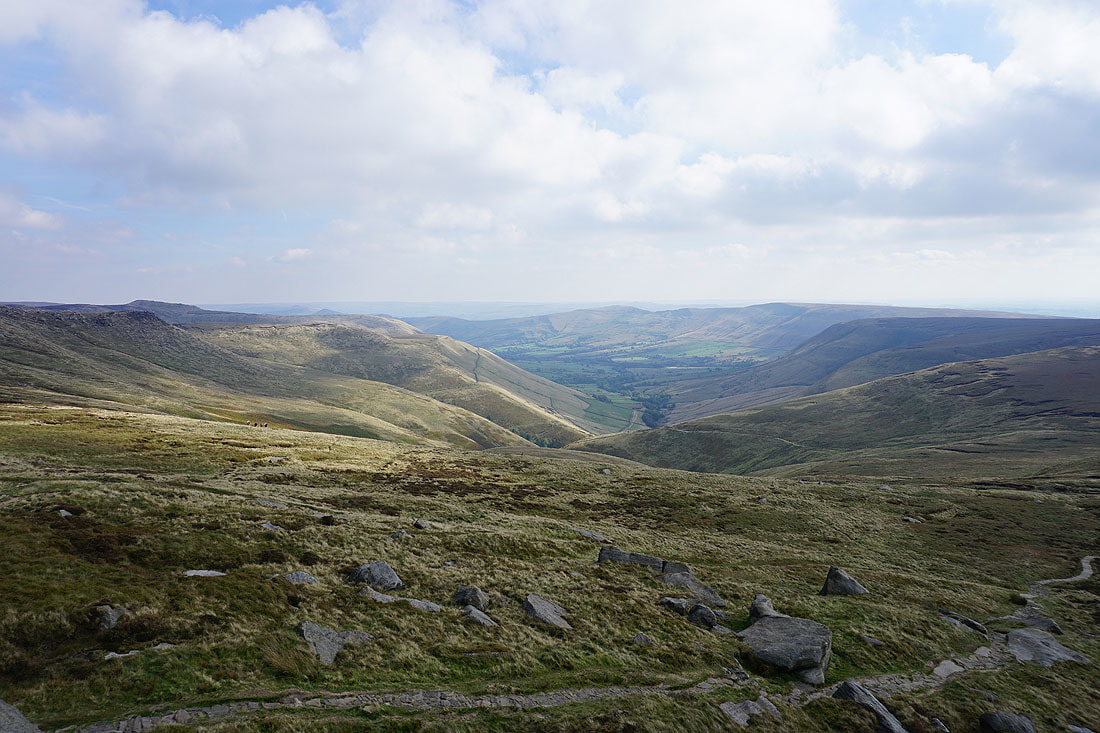
..and down the Vale of Edale to Mam Tor
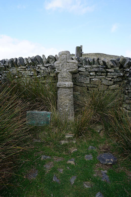
Edale Cross. At the top of the bridleway up Oaken Clough.
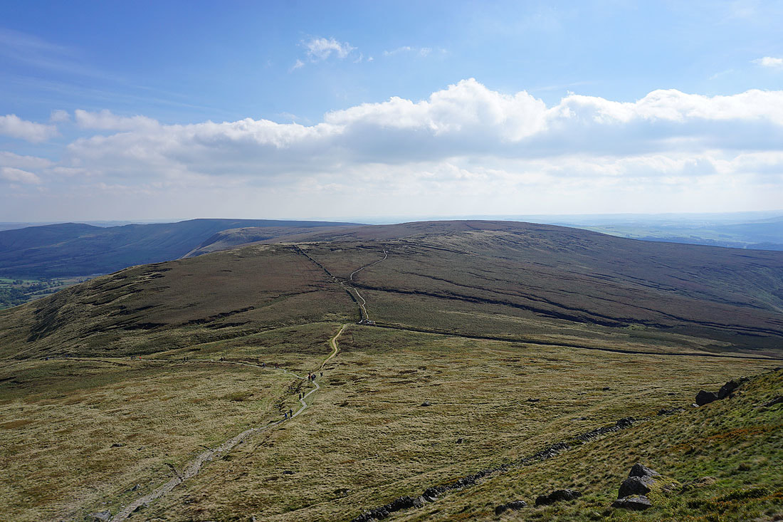
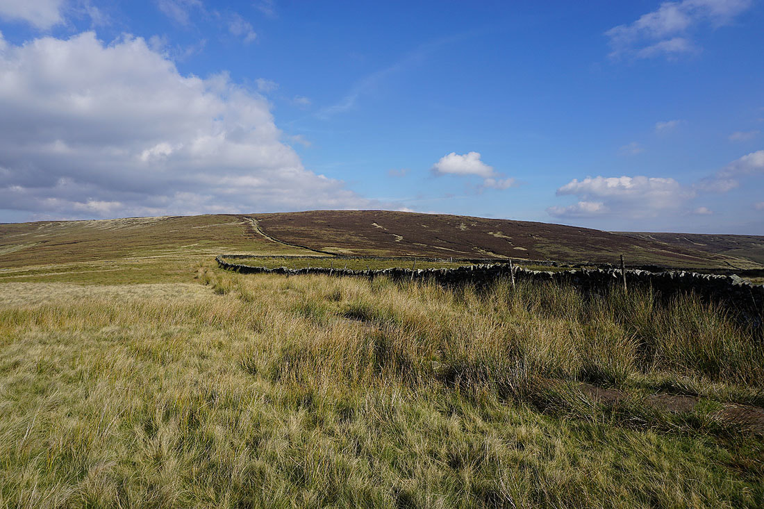
Looking west to South Head and Mount Famine as I head for Brown Knoll
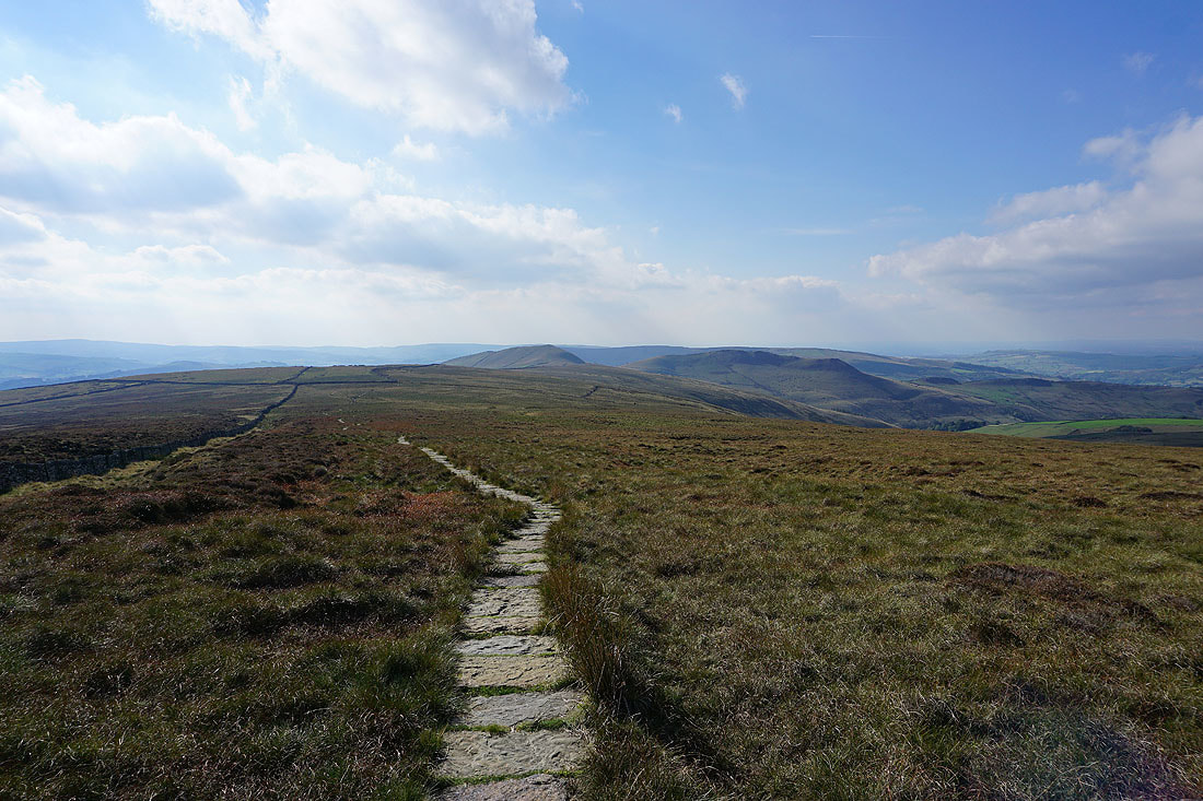
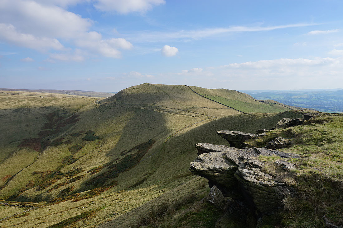
Kinder Scout behind the trig point on Brown Knoll
I had to backtrack a short distance from the trig point to pick up this path that heads west towards South Head
It's now a lovely early autumn afternoon with plenty of warm sunshine...
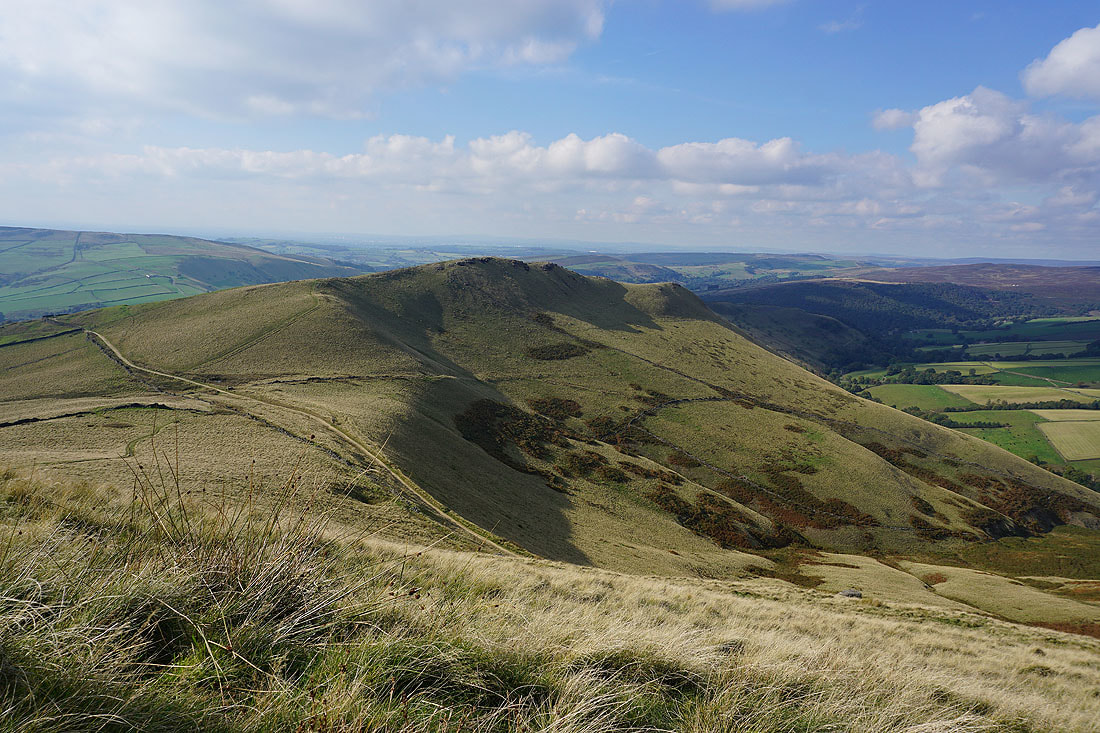
I've got a fantastic view of Mount Famine as I reach the top of South Head
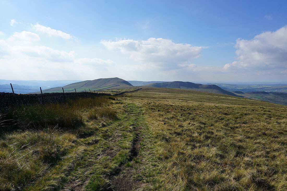
Looking back to Brown Knoll
Kinder Scout from South Head
Looking south to Combs Edge, Chapel-en-le-Frith, Shining Tor and Eccles Pike
Chinley Churn
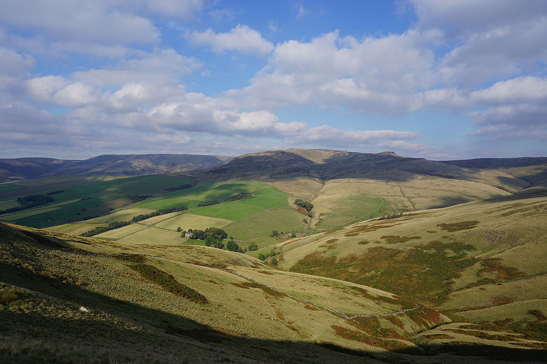
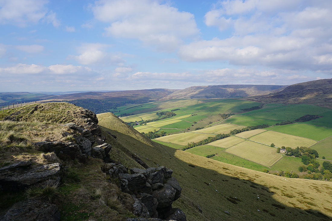
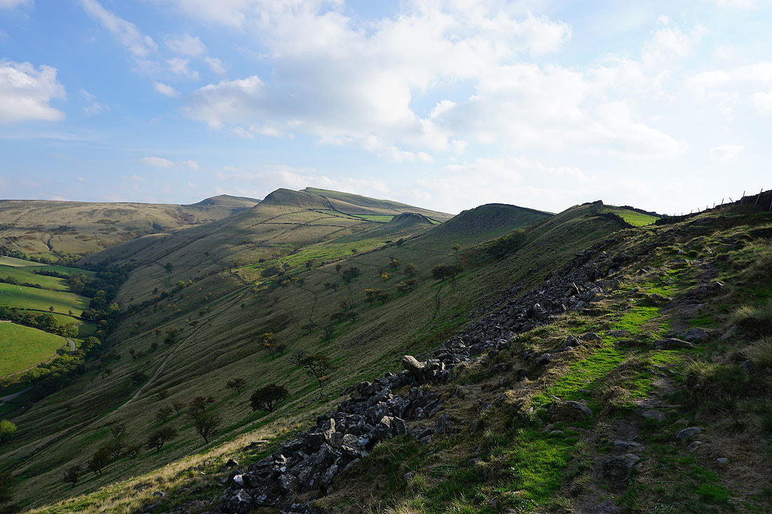
Kinder Scout from Mount Famine
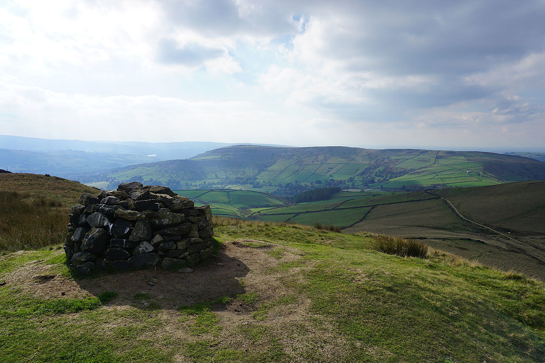
South Head
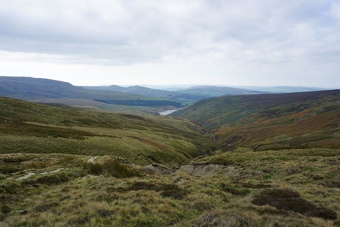
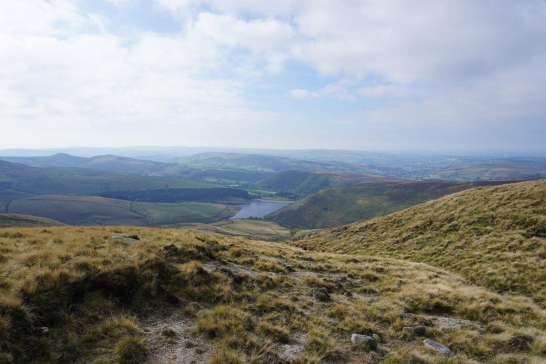
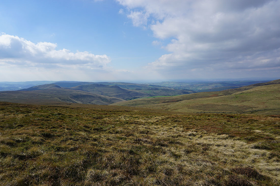
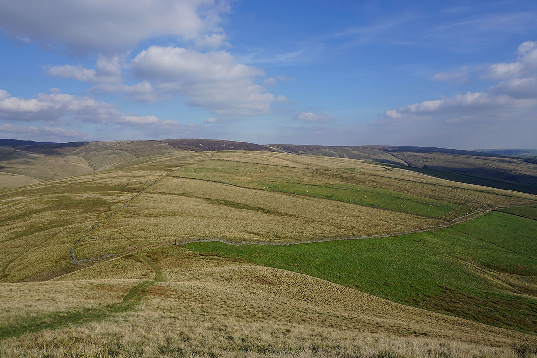
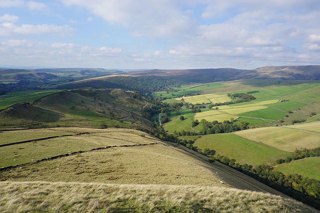
Looking down the valley of the River Sett to Leygatehead Moor, Mill Hill and the western end of Kinder Scout
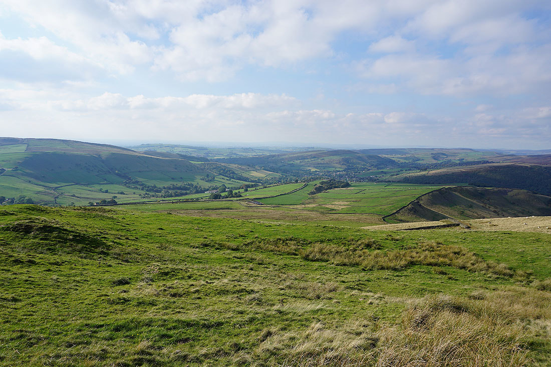
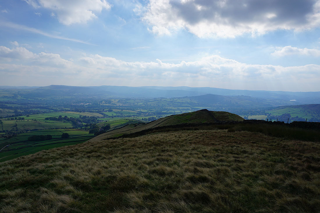
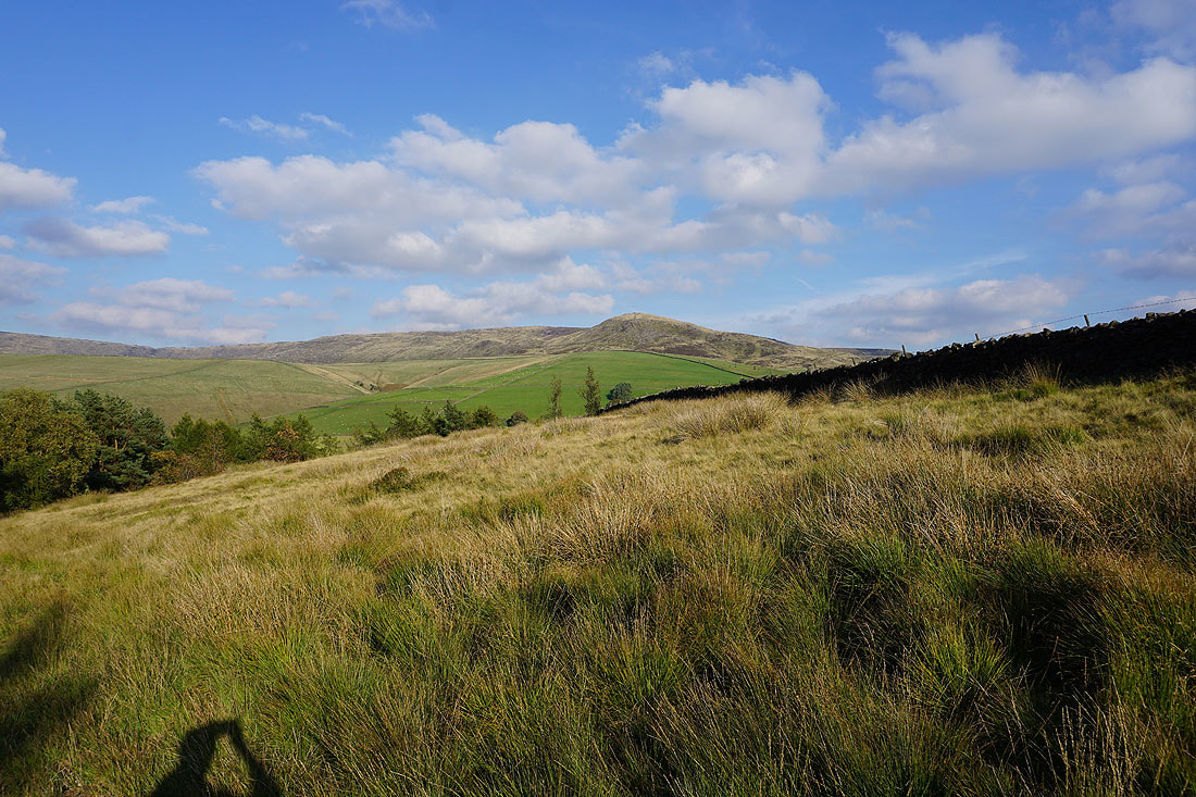
Looking towards Hayfield and Lantern Pike
Looking down the valley of the River Sett towards Bowden Bridge. I'm going to cross the bridleway to Hayfield below and get onto that ridge on the left.
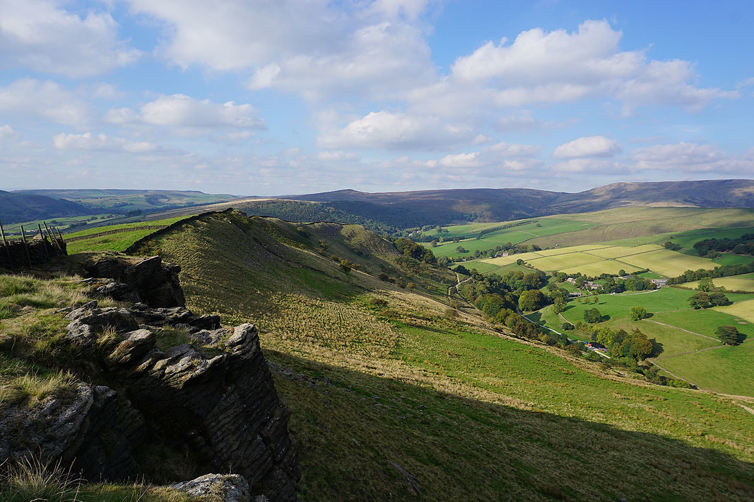
This is a great little ridge to follow especially with the shadows being cast by the late afternoon sun..
Kinderlow End as I reach the northern end of the ridge
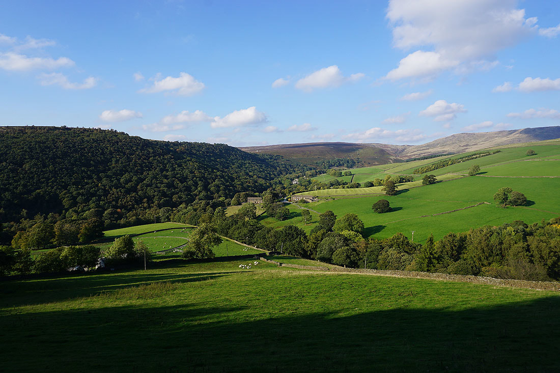
The woodland around Bowden Bridge from the bridleway down to the Kinder Road..