29th September 2023 - Nab Hill and Top Withins
Walk Details
Distance walked: 13.8 miles
Total ascent: 1947 ft
OS map used: OL21 - South Pennines
Time taken: 7 hrs
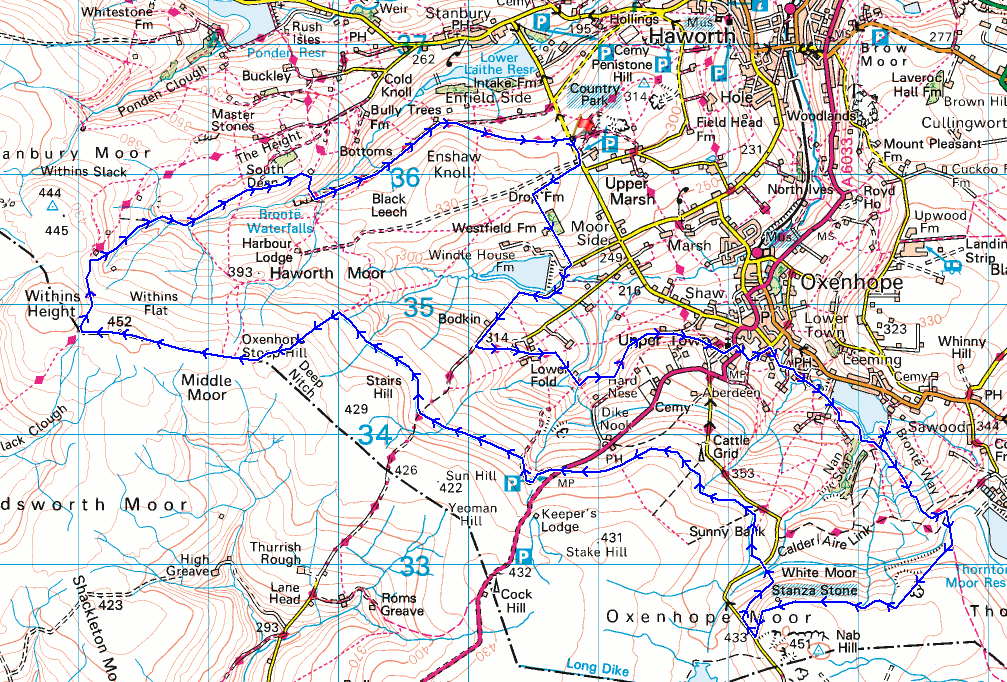
Route description: Penistone Hill Country Park-Moor Side Lane-Drop Farm-Lee Lane-Bodkin Lane-Calder/Aire Link-Lower Fold-Calder/Aire Link-A6033-Hill House Lane-Oxenhope-Meadowfield-Wadsworth Mill-Jew Lane-Back Leeming-Leeming Reservoir-Bronte Way-Hambleton Lane-Nab Hill-Nab Water Lane-Nab Rough-Nab Water Lane-Greenwood's Allotment-Oxenhope Moor-A6033-Stairs Lane-Stairs Hill-Oxenhope Stoop Hill-Dick Delf Hill-Pennine Way-Top Withins-Bronte Bridge-Bronte Way-Millennium Way-Penistone Hill Country Park
The first weekend and first walk after returning from the Isle of Skye and I've decided to stay local and make the short drive across the moors for a walk in Bronte Country. I decided on a route that would take in the moorland to the south and west of Oxenhope that included a visit to Nab Hill, and to the ruins of Top Withins. Most of the footpaths and bridleways were already familiar to me, but I did manage to include one that I hadn't used before. Although I'd followed the path by the catchwater drain across Oxenhope Moor many times, I hadn't used the last section of it to the north of Stairs Lane, not knowing whether I would be able to get from the end of it onto the public footpath up onto Oxenhope Stoop Hill. Fortunately there were no problems with linking them up and I was able to do the last section of the walk, the visit to Top Withins. It was a bright and breezy autumnal day for this walk on the South Pennines moors, with a mixture of clouds and sunny spells, and the odd brief light shower thrown in.
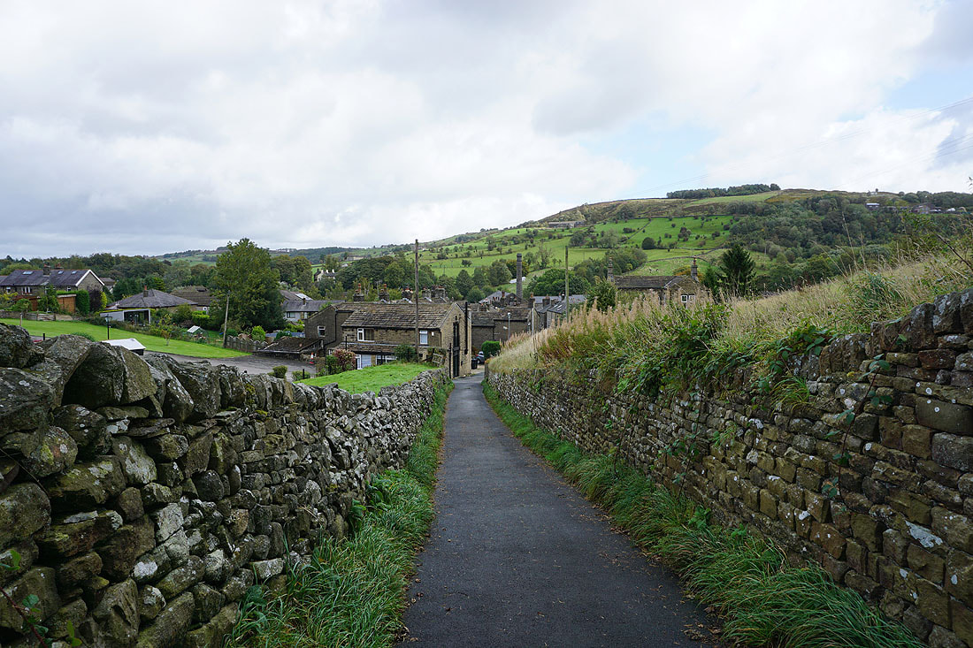
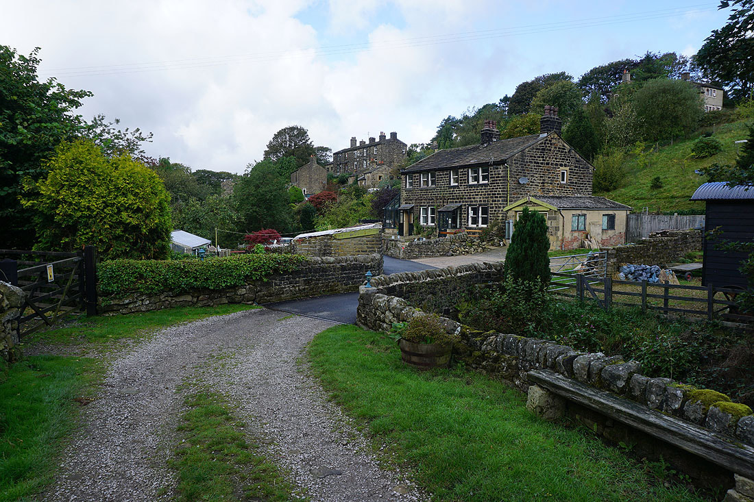
From the car park at Penistone Hill Country Park I made my way out to Moor Side Lane and took the footpath along the track to Drop Farm. Just after passing Drop Farm I took the footpath on the left and followed it down past Westfield Farm to Lee Lane where I turned right and walked along the lane past Leeshaw Reservoir, then up the bridleway of Bodkin Lane until I reached the Calder/Aire Link path above Bodkin Farm. I took this and followed it east through Lower Fold, down to and across Rag Clough Beck, then up to and along the hillside of Stones to the end of Stone Lane, where I took a footpath on the right up the hillside to the lane to St. Mary the Virgin Church. I walked along this lane to the A6033, up the A6033 to the right hand bend above, then took the footpath on the left, and followed this down through a field to Hill House Lane, which took me down into Oxenhope. At the bottom of Hill House Lane I turned right, walked along Meadowfield, then took the footpath south to Wadsworth Mill, Jew Lane, and Back Leeming. From Back Leeming I made my way up to Leeming Reservoir, took the path along its southern shore, then the footpath south from its eastern end to join the Bronte Way. I followed the Bronte Way uphill until I reached the track of Hambleton Lane, which took me south until I reached a gate on the right and the footpath west to the cairns on the northern edge of Nab Hill, where I stopped for lunch. After this break I took the path west down to Nab Water Lane. I briefly walked down the road then took the footpath on the right across Nab Rough and down to Nab Water Lane, which I crossed and took the footpath opposite across Greenwood's Allotment. This soon met a catchwater drain, and I followed the path by this across the moor to the A6033, carried on following it after crossing the road to reach the track of Stairs Lane, then crossed this to keep by the drain to its end where I picked up the footpath up to the top of Oxenhope Stoop Hill. I then walked west along the moorland ridge over Dick Delf Hill to pick up the Pennine Way, followed this north to the ruins of Top Withins, then took the path down into the valley of South Dean Beck to Bronte Bridge, which I crossed to take the Bronte Way and Millennium Way up to Moor Side Lane and the car park at Penistone Hill Country Park.
Total ascent: 1947 ft
OS map used: OL21 - South Pennines
Time taken: 7 hrs
Route description: Penistone Hill Country Park-Moor Side Lane-Drop Farm-Lee Lane-Bodkin Lane-Calder/Aire Link-Lower Fold-Calder/Aire Link-A6033-Hill House Lane-Oxenhope-Meadowfield-Wadsworth Mill-Jew Lane-Back Leeming-Leeming Reservoir-Bronte Way-Hambleton Lane-Nab Hill-Nab Water Lane-Nab Rough-Nab Water Lane-Greenwood's Allotment-Oxenhope Moor-A6033-Stairs Lane-Stairs Hill-Oxenhope Stoop Hill-Dick Delf Hill-Pennine Way-Top Withins-Bronte Bridge-Bronte Way-Millennium Way-Penistone Hill Country Park
The first weekend and first walk after returning from the Isle of Skye and I've decided to stay local and make the short drive across the moors for a walk in Bronte Country. I decided on a route that would take in the moorland to the south and west of Oxenhope that included a visit to Nab Hill, and to the ruins of Top Withins. Most of the footpaths and bridleways were already familiar to me, but I did manage to include one that I hadn't used before. Although I'd followed the path by the catchwater drain across Oxenhope Moor many times, I hadn't used the last section of it to the north of Stairs Lane, not knowing whether I would be able to get from the end of it onto the public footpath up onto Oxenhope Stoop Hill. Fortunately there were no problems with linking them up and I was able to do the last section of the walk, the visit to Top Withins. It was a bright and breezy autumnal day for this walk on the South Pennines moors, with a mixture of clouds and sunny spells, and the odd brief light shower thrown in.
From the car park at Penistone Hill Country Park I made my way out to Moor Side Lane and took the footpath along the track to Drop Farm. Just after passing Drop Farm I took the footpath on the left and followed it down past Westfield Farm to Lee Lane where I turned right and walked along the lane past Leeshaw Reservoir, then up the bridleway of Bodkin Lane until I reached the Calder/Aire Link path above Bodkin Farm. I took this and followed it east through Lower Fold, down to and across Rag Clough Beck, then up to and along the hillside of Stones to the end of Stone Lane, where I took a footpath on the right up the hillside to the lane to St. Mary the Virgin Church. I walked along this lane to the A6033, up the A6033 to the right hand bend above, then took the footpath on the left, and followed this down through a field to Hill House Lane, which took me down into Oxenhope. At the bottom of Hill House Lane I turned right, walked along Meadowfield, then took the footpath south to Wadsworth Mill, Jew Lane, and Back Leeming. From Back Leeming I made my way up to Leeming Reservoir, took the path along its southern shore, then the footpath south from its eastern end to join the Bronte Way. I followed the Bronte Way uphill until I reached the track of Hambleton Lane, which took me south until I reached a gate on the right and the footpath west to the cairns on the northern edge of Nab Hill, where I stopped for lunch. After this break I took the path west down to Nab Water Lane. I briefly walked down the road then took the footpath on the right across Nab Rough and down to Nab Water Lane, which I crossed and took the footpath opposite across Greenwood's Allotment. This soon met a catchwater drain, and I followed the path by this across the moor to the A6033, carried on following it after crossing the road to reach the track of Stairs Lane, then crossed this to keep by the drain to its end where I picked up the footpath up to the top of Oxenhope Stoop Hill. I then walked west along the moorland ridge over Dick Delf Hill to pick up the Pennine Way, followed this north to the ruins of Top Withins, then took the path down into the valley of South Dean Beck to Bronte Bridge, which I crossed to take the Bronte Way and Millennium Way up to Moor Side Lane and the car park at Penistone Hill Country Park.
Route map
© Crown copyright. All rights reserved. License number PU 100034184.
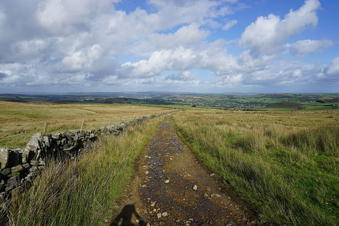
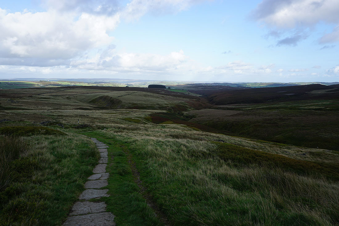
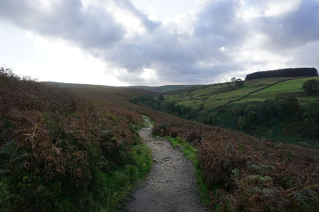
Views across the Worth Valley as I set off from Penistone Hill Country Park..
On the track to Drop Farm
Leeshaw Reservoir below as I follow the footpath down to Lee Lane
Looking back to Bodkin Farm and Leeshaw Reservoir as I head up Bodkin Lane
Following the Calder/Aire Link path east through Lower Fold to the hillside of Stones...
Looking back across the valley of Rag Clough Beck to Lower Fold
At the end of Stone Lane, and from here I'll take a public footpath across the hillside on the right
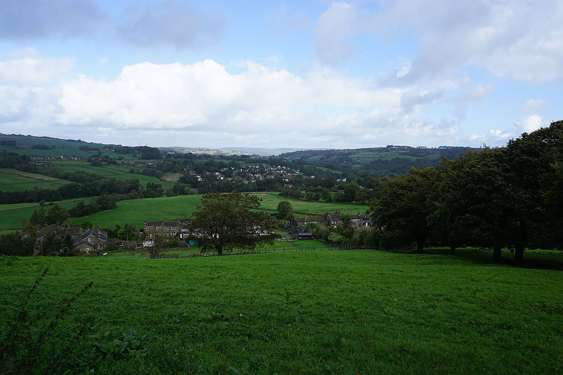
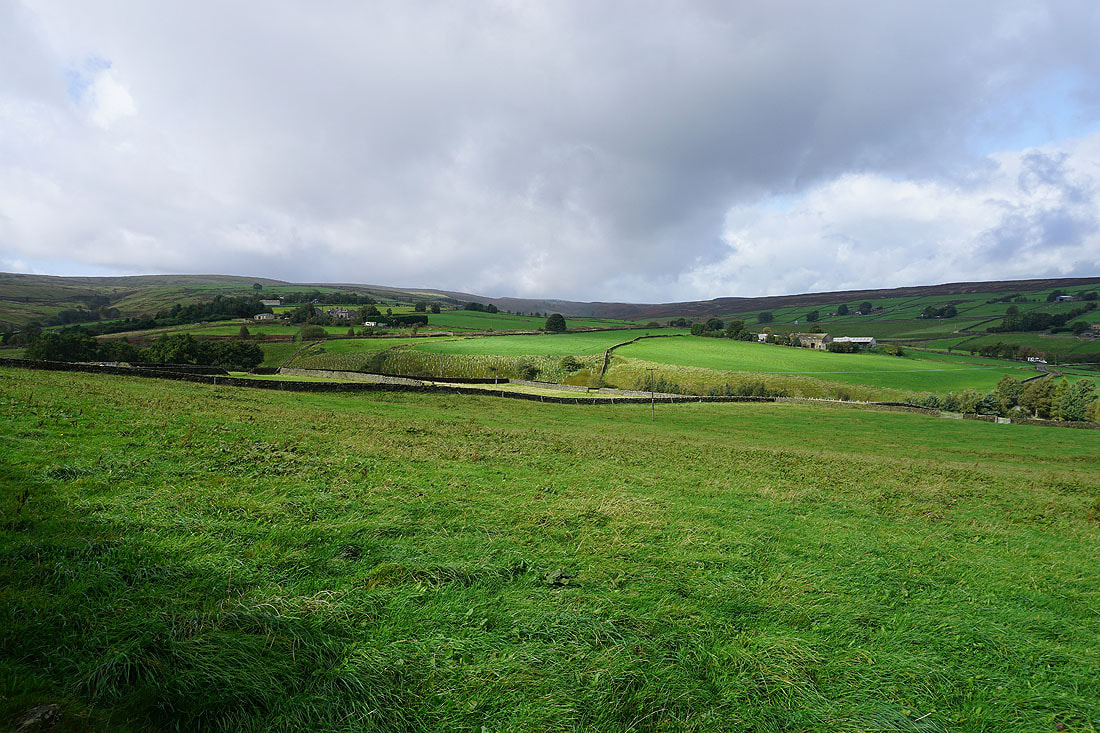
Looking down on Oxenhope
After crossing the A6033, heading down to Hill House Lane
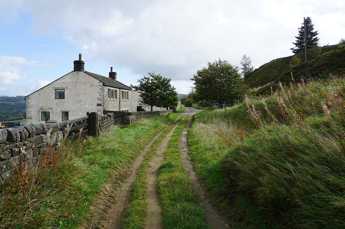
In Back Leeming

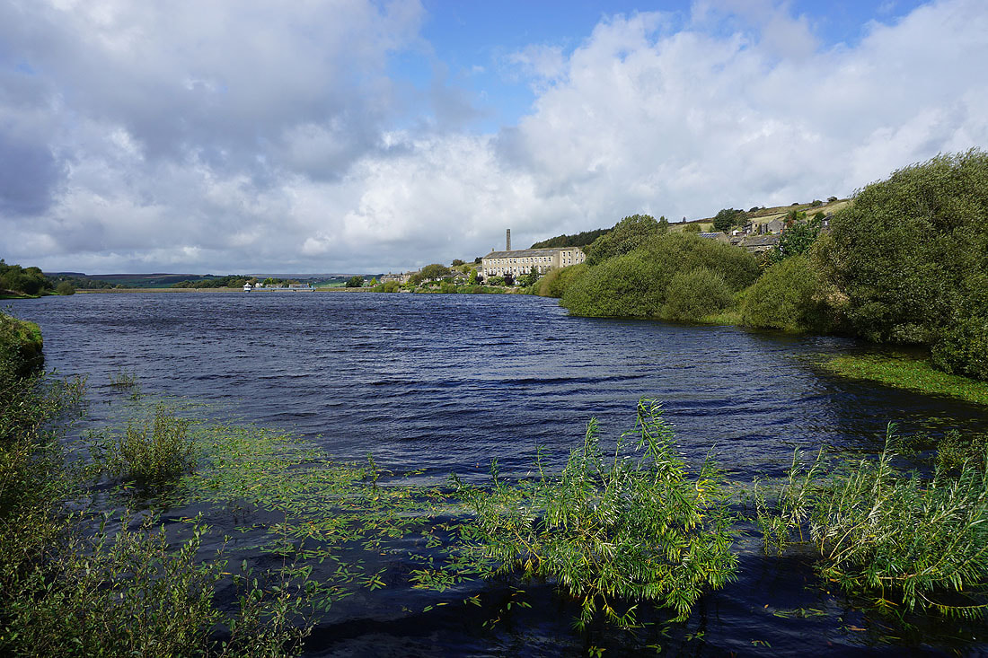
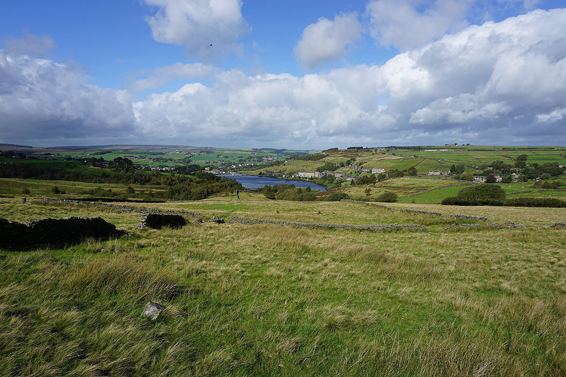
Looking across Leeming Reservoir to Leeming..
Heading uphill on the Bronte Way to Hambleton Lane
Looking back down to Leeming Reservoir and Leeming..
Thornton Moor Reservoir
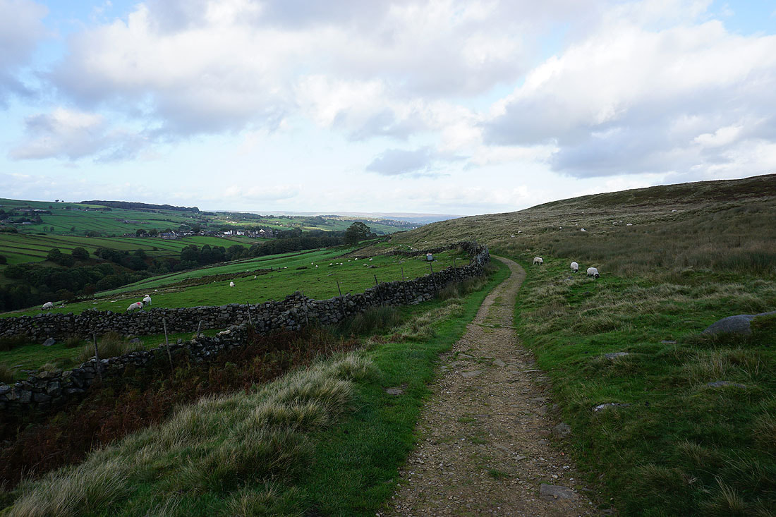
Looking north across Bronte Country from the bridleway of Hambleton Lane
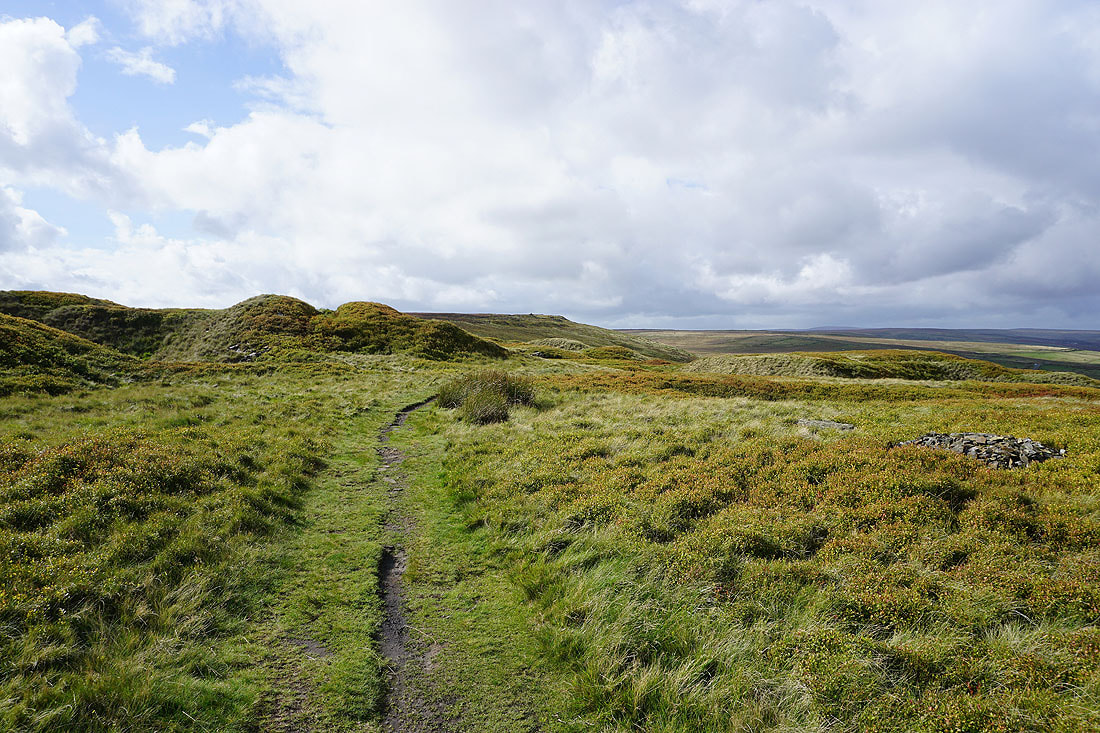
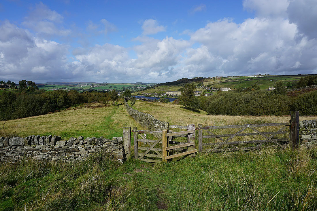
From Hambleton Lane I take a footpath through the hummocks of the disused quarries on Nab Hill..
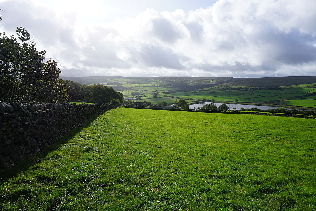
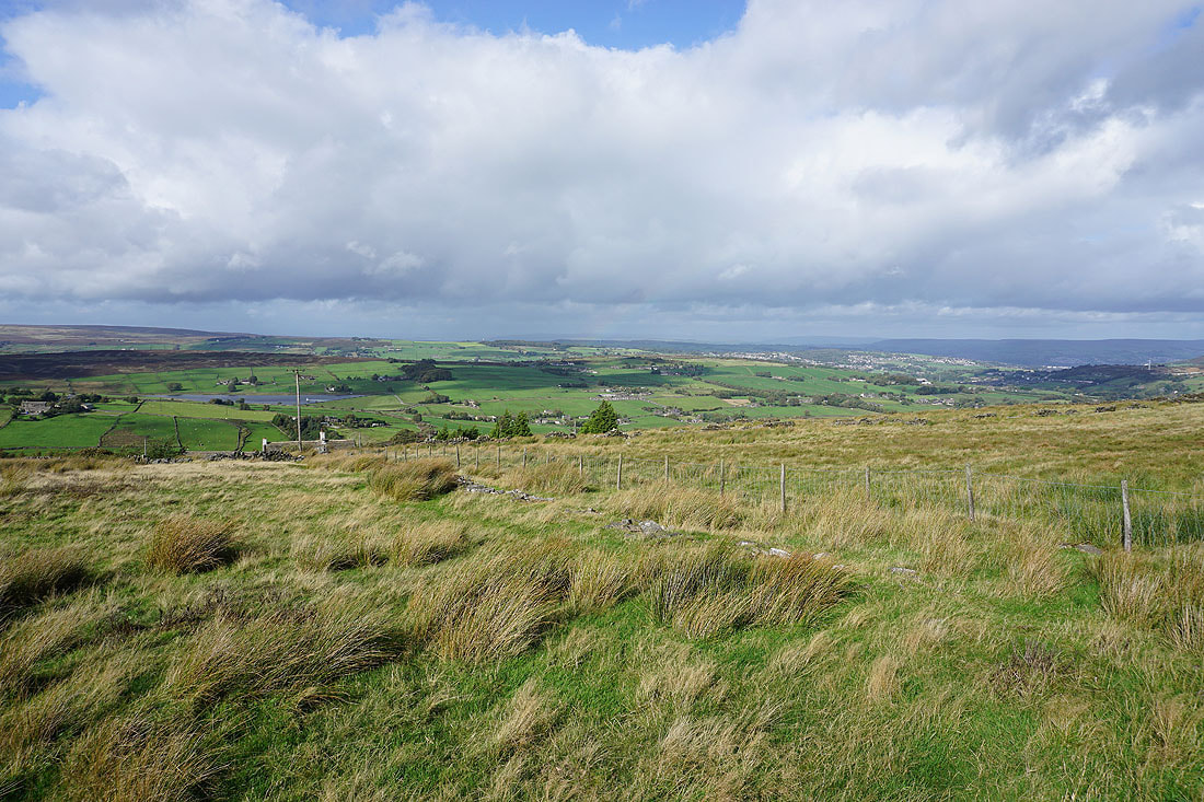
There are great views looking north to Oxenhope, Leeming Reservoir, and the moors of Bronte Country as I make my way west along the northern edge of Nab Hill...
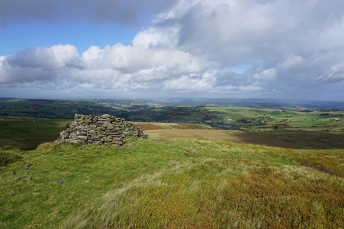
Looking back across the northern edge of Nab Hill and its cairns
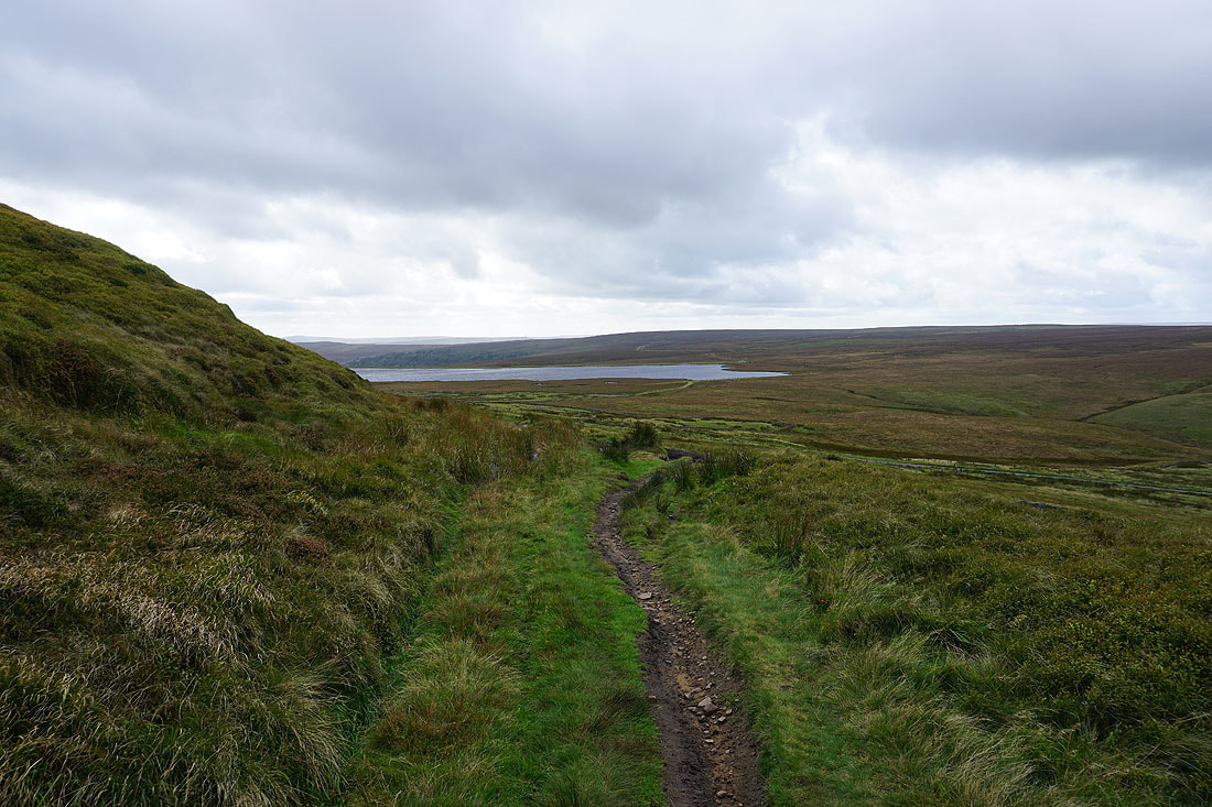
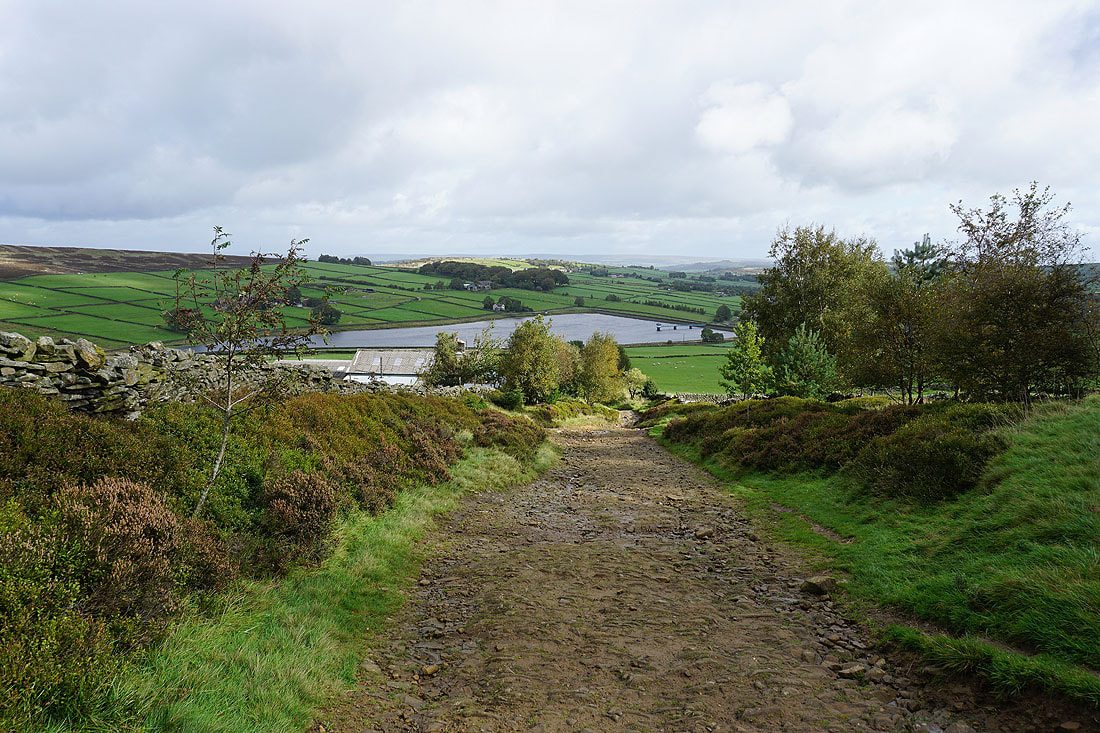
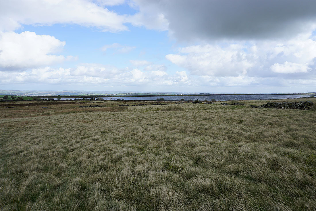
Warley Moor Reservoir ahead from the footpath down to Nab Water Lane
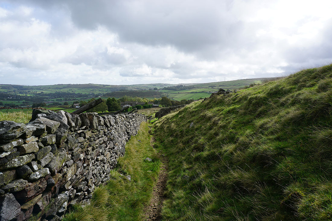
and then on the footpath east above Nab Water Lane
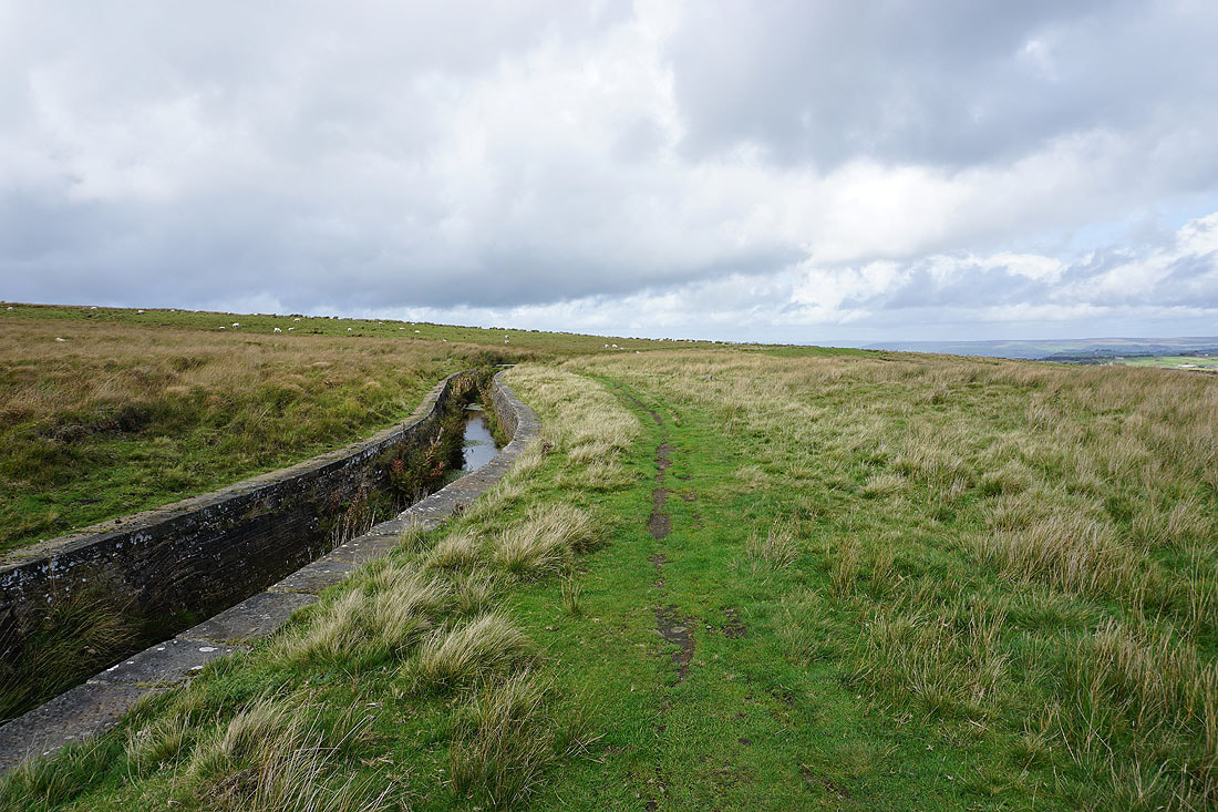
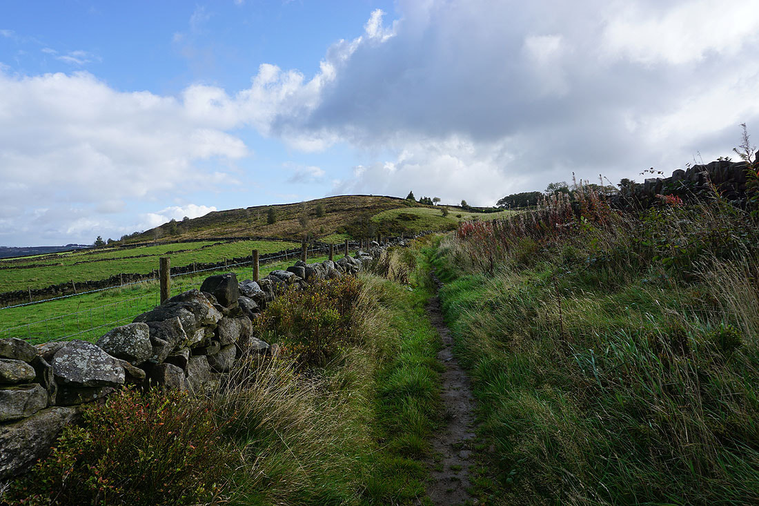
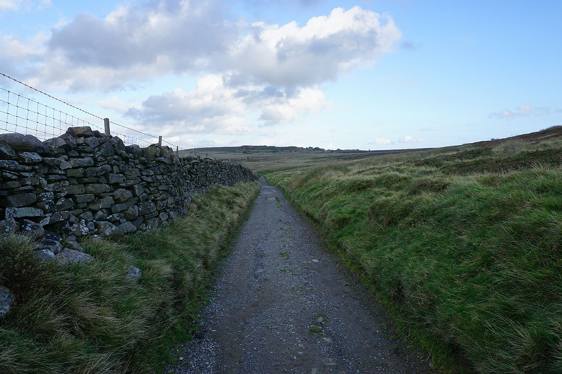
After crossing Nab Water Lane, following a path north by the conduit across Oxenhope Moor..
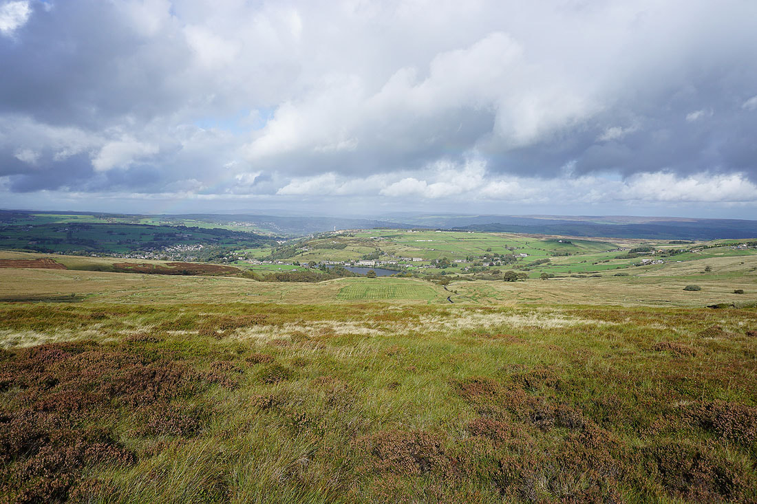
Looking across to Black Moor, Leeming, Leeming Reservoir, and Thornton Moor

Now heading west and approaching Hebden Bridge Road

Oxenhope in the valley below
Great views across to Haworth Moor, Leeshaw Reservoir, Penistone Hill, and Haworth..
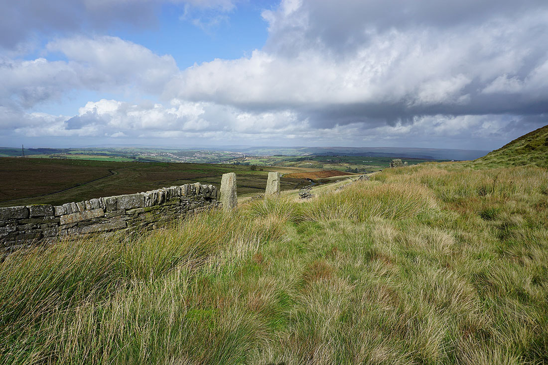
Looking back east as I reach Hebden Bridge Road
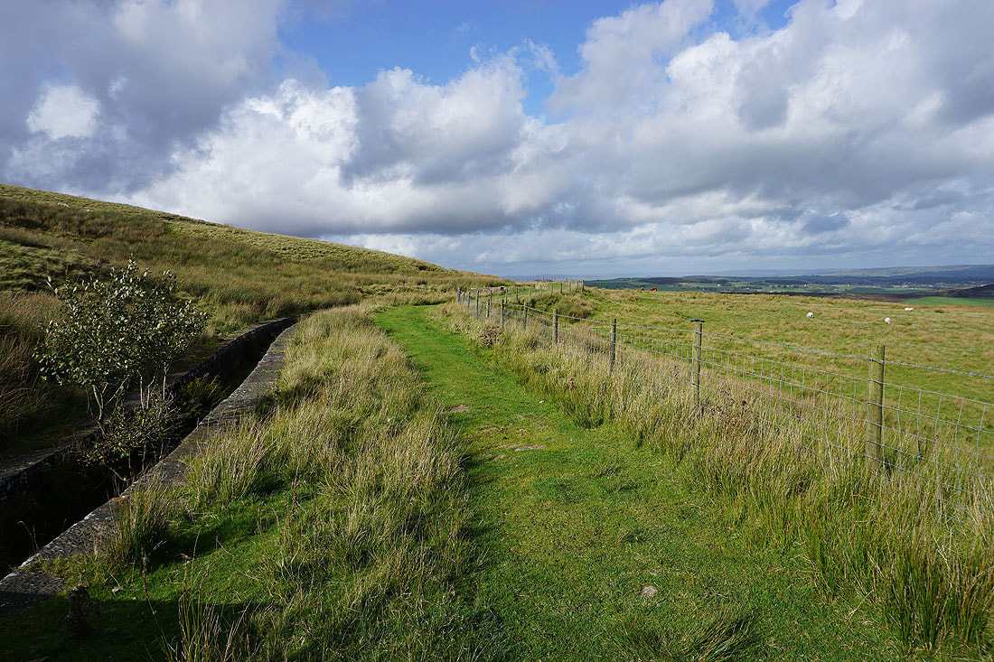
Still by the conduit after crossing Hebden Bridge Road

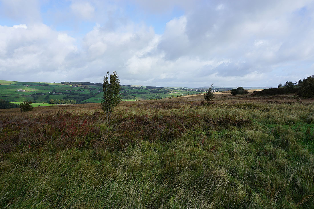
Above the colourful and bracken filled Rag Clough
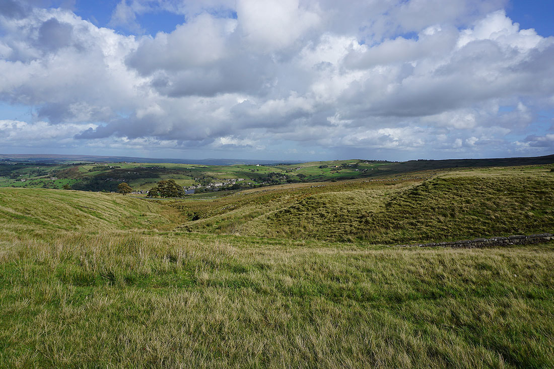
It's a lovely early autumn afternoon as I look northeast to Haworth Moor, Leeshaw Reservoir, Penistone Hill, Haworth, Brow Moor, and Oxenhope, with Ilkley Moor in the distance
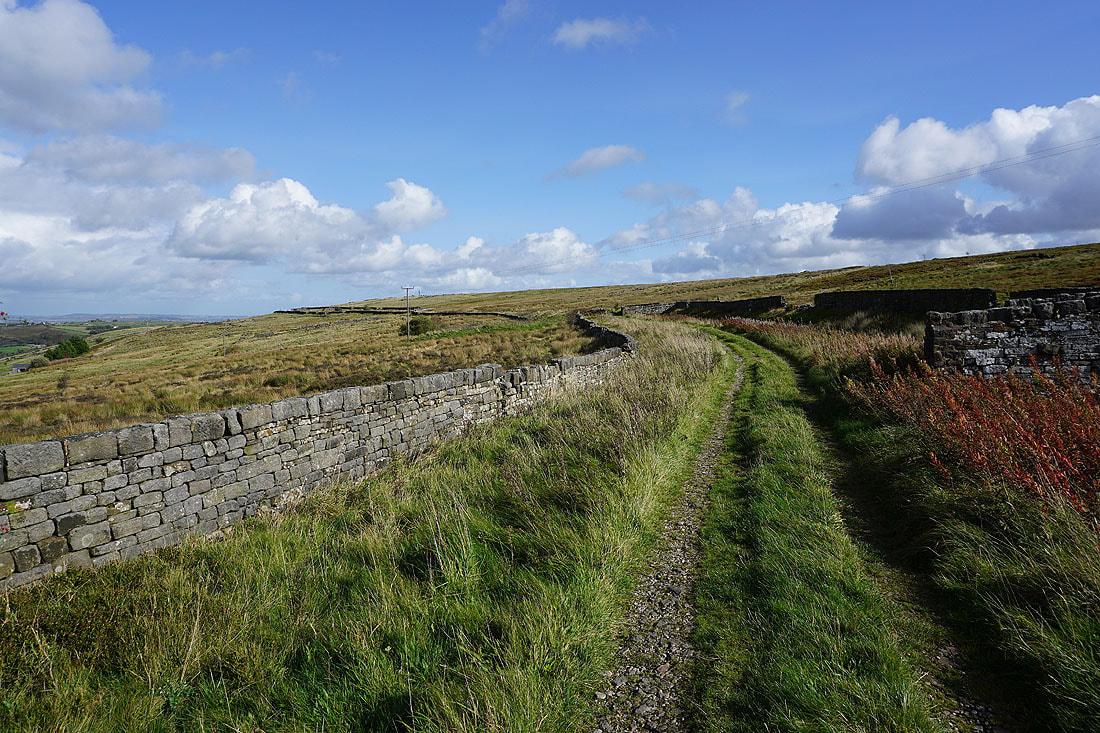
Looking down Stairs Lane as I cross it
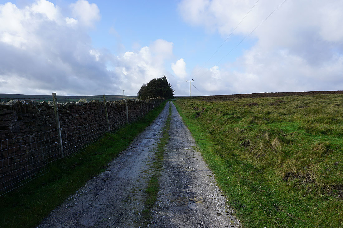
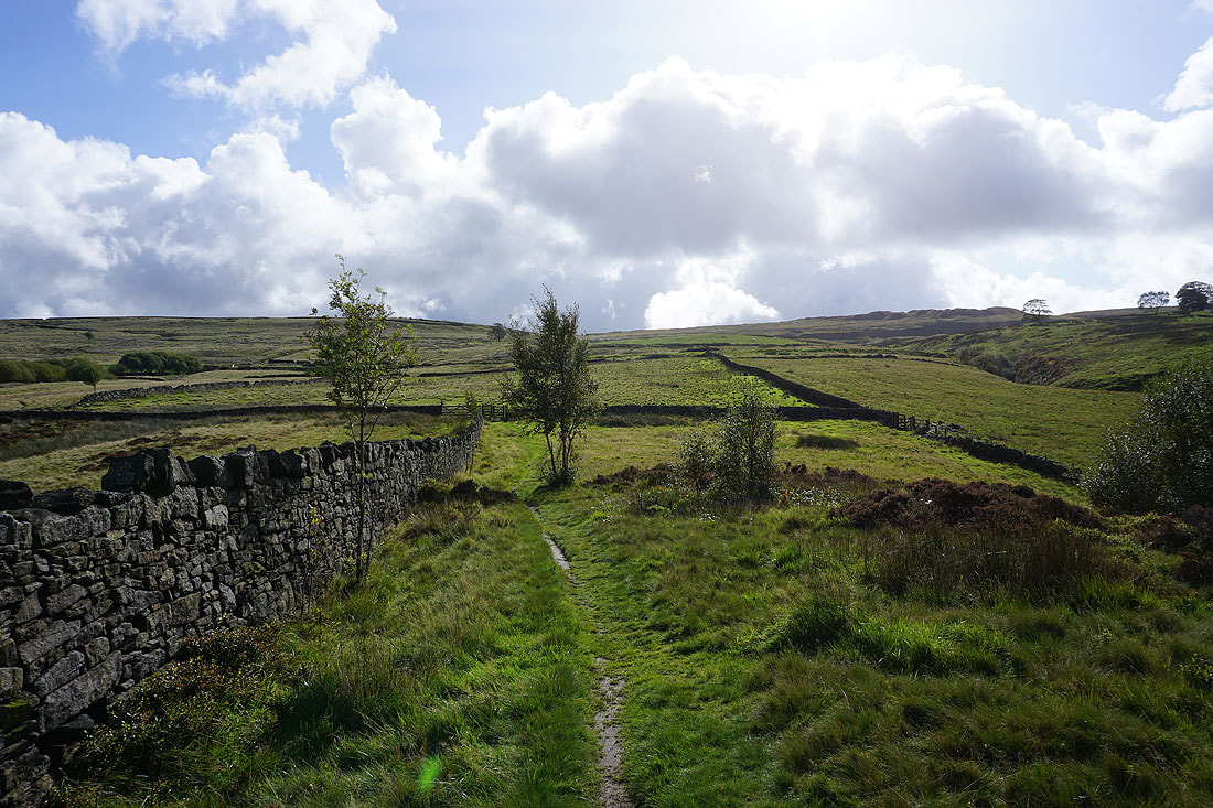
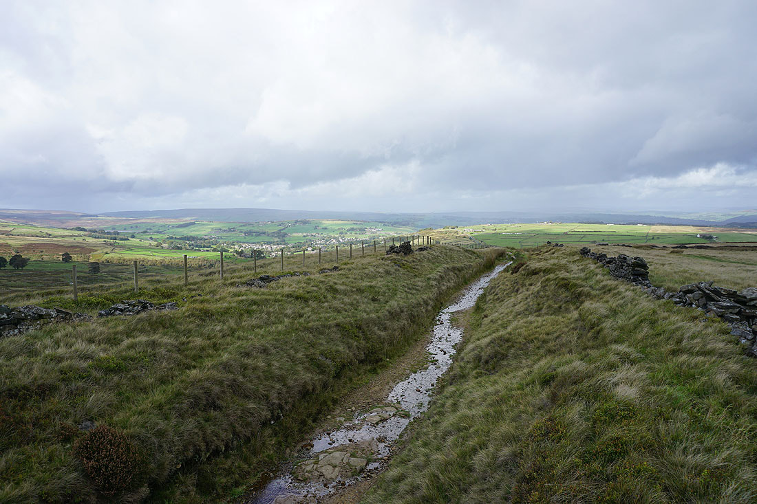
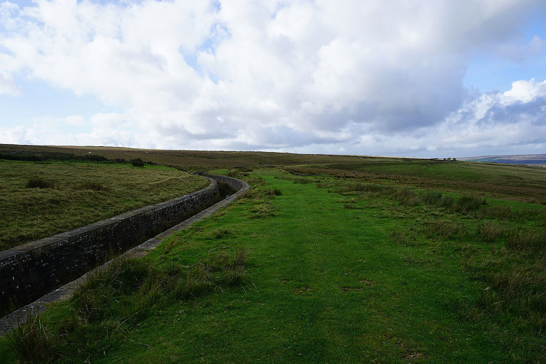
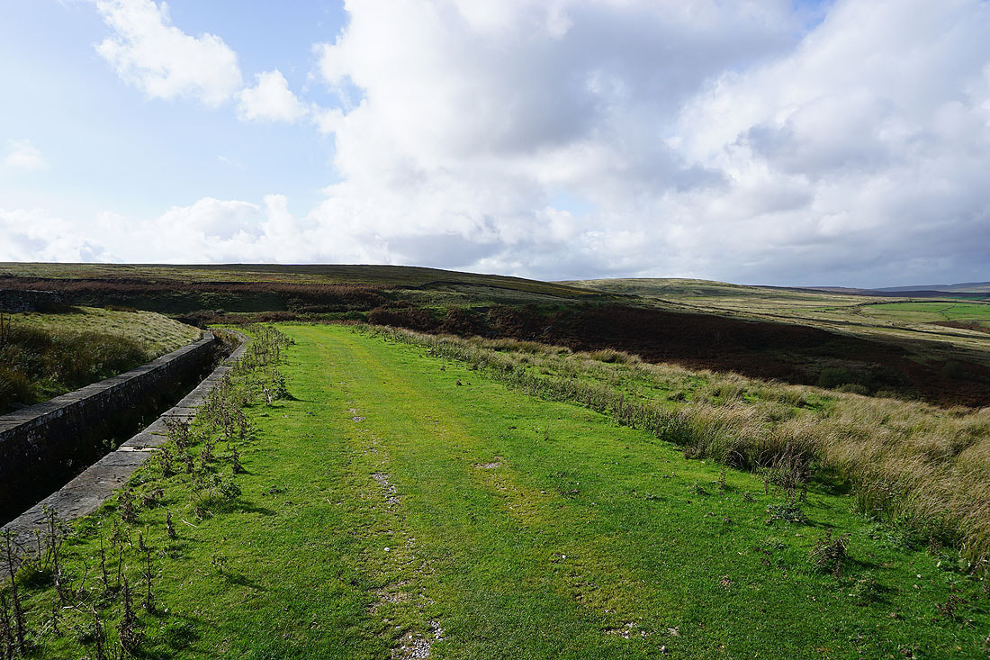
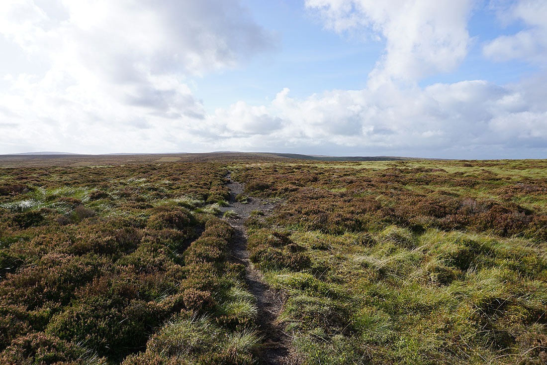
After crossing Stairs Lane I keep following the path by the conduit to its end
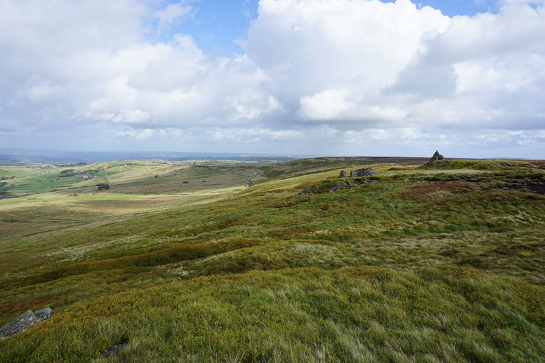
Looking back to Haworth Moor and Leeshaw Reservoir as I head up onto Oxenhope Stoop Hill
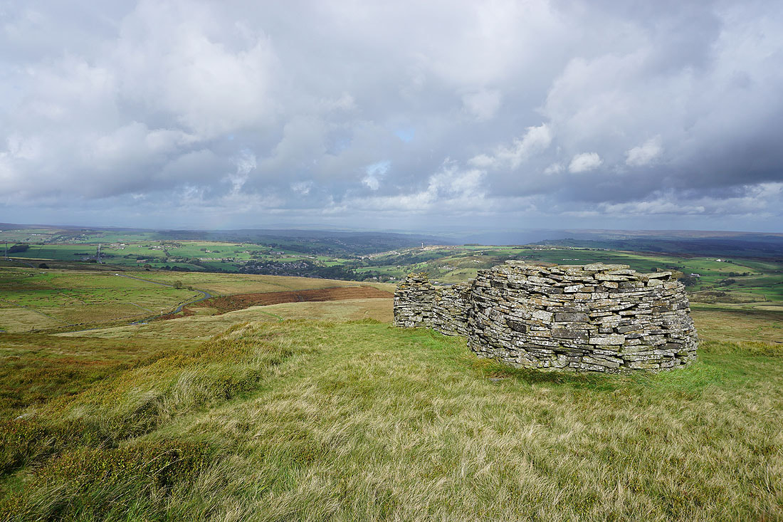
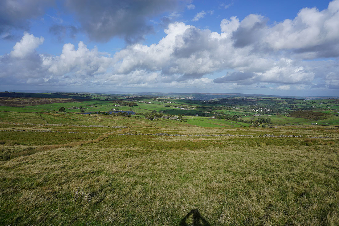
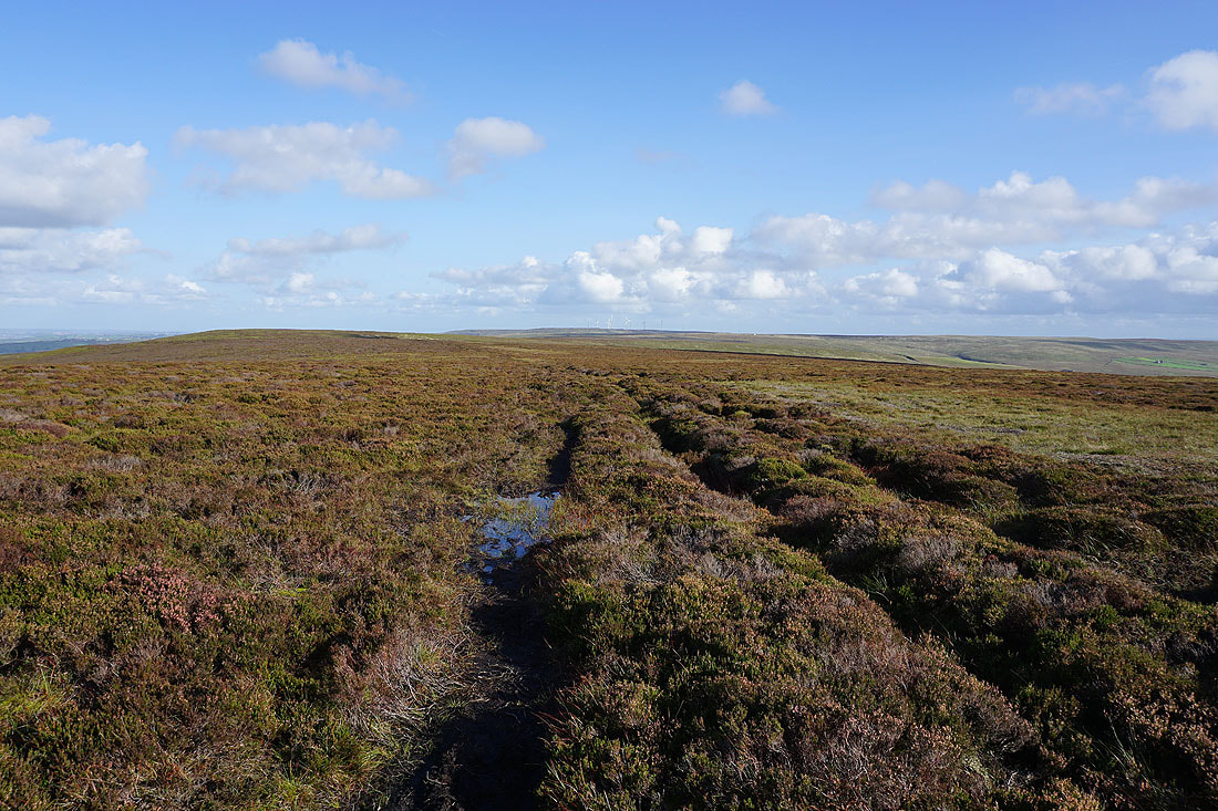
On Oxenhope Stoop Hill. Looking across Oxenhope Moor to the windfarm on Ovenden Moor in the distance.

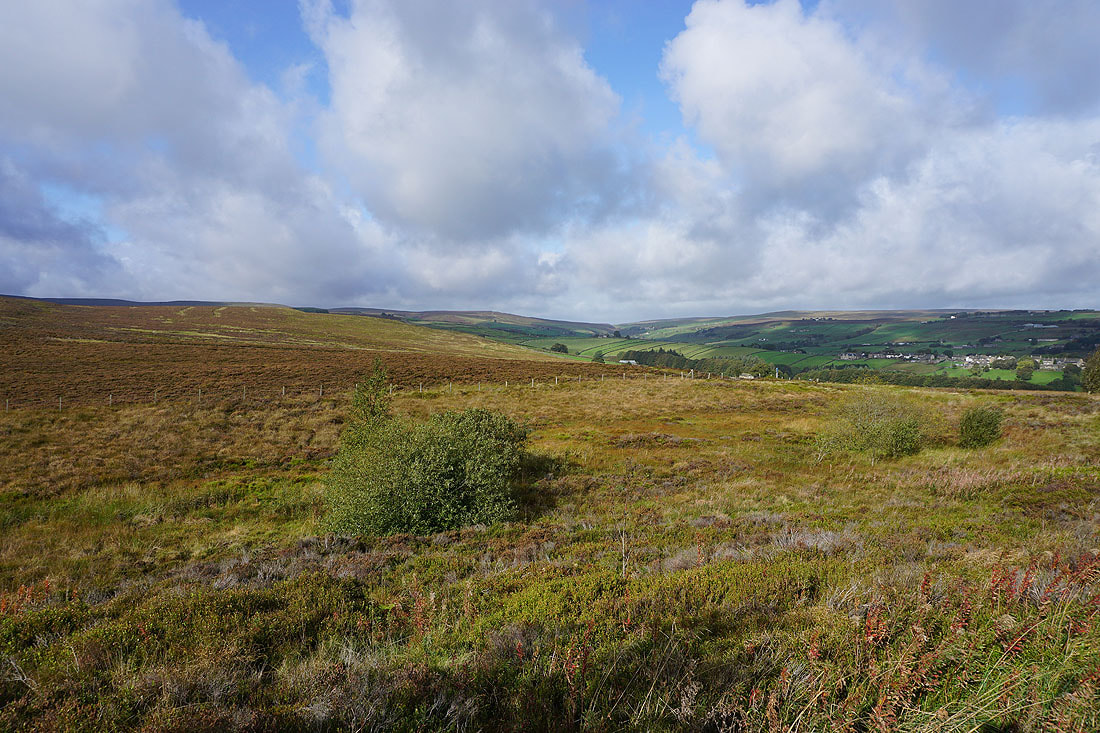
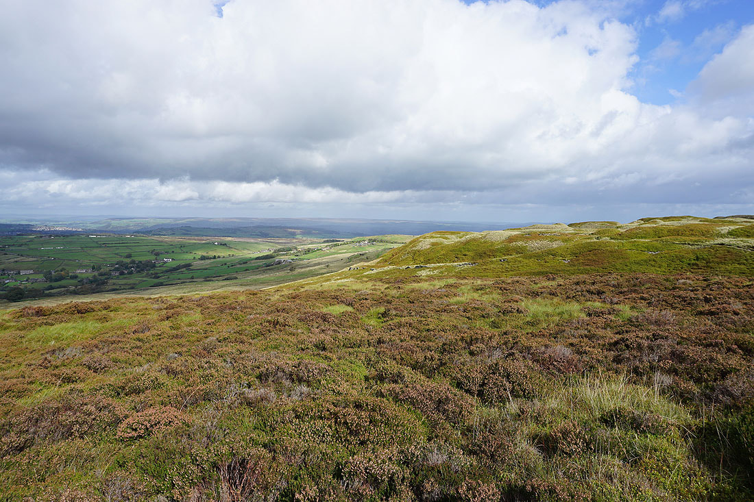
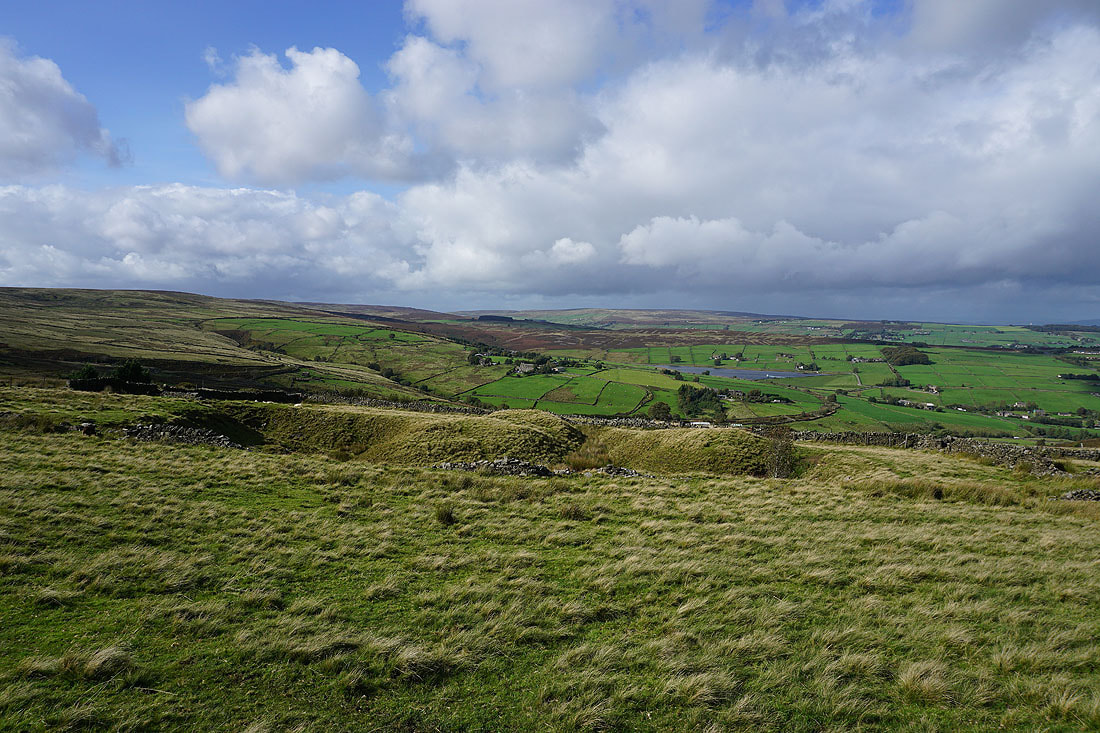
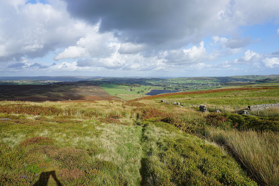
From up here I can now see across the moors around Calderdale
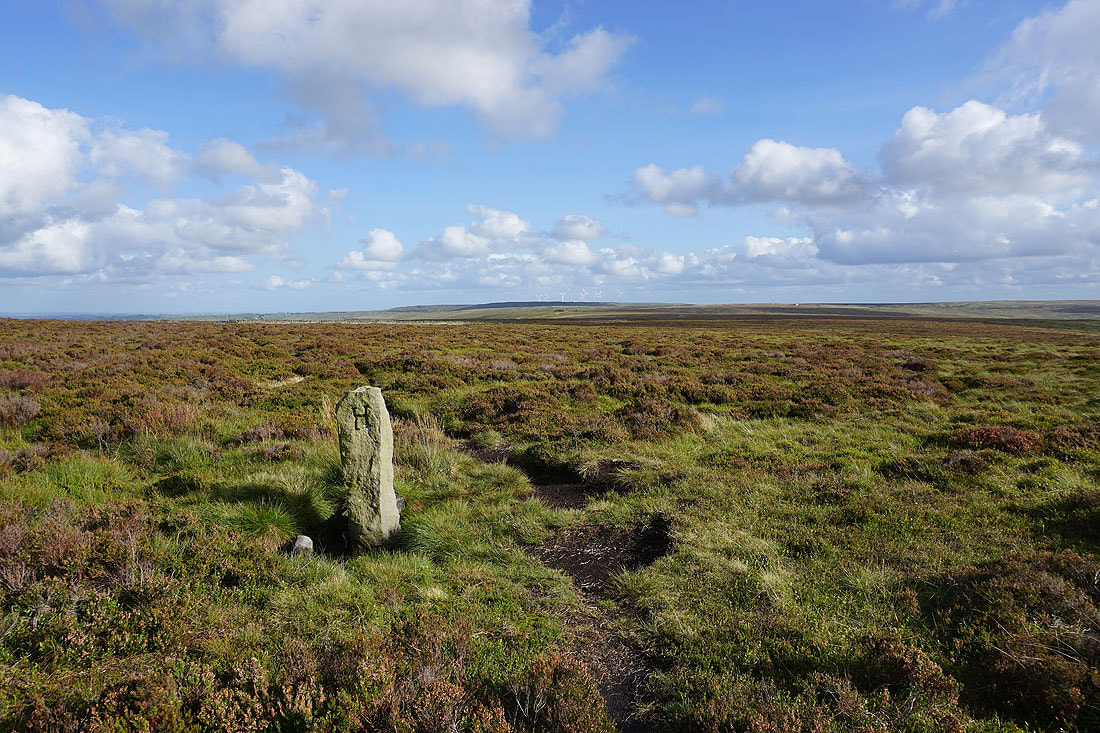
Heading west along the moorland ridge to Dick Delf Hill and the Pennine Way
Looking back to Oxenhope Stoop Hill with the windfarm on Ovenden Moor in the distance
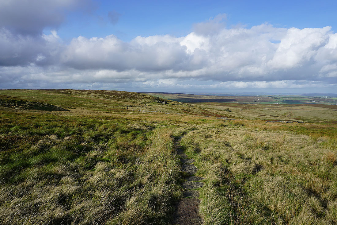
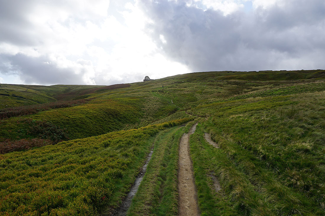
On the Pennine Way to Top Withins
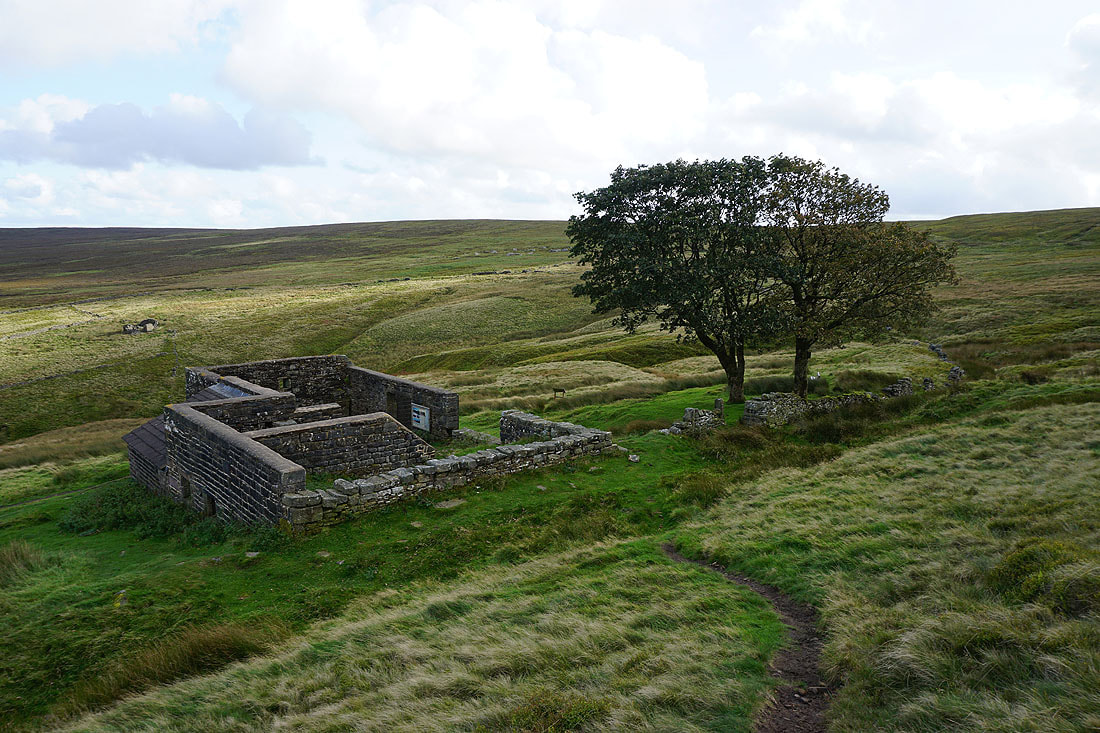
The ruins of Top Withins
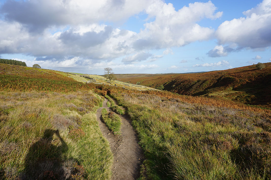
From Top Withins I briefly follow the Pennine Way, and then take the footpath down into the valley of South Dean Beck
Looking back to Top Withins
Autumn colours in the late afternoon sunshine
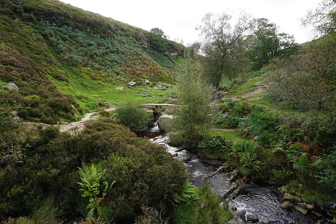
At Bronte Bridge
Looking back up the valley of South Dean Beck
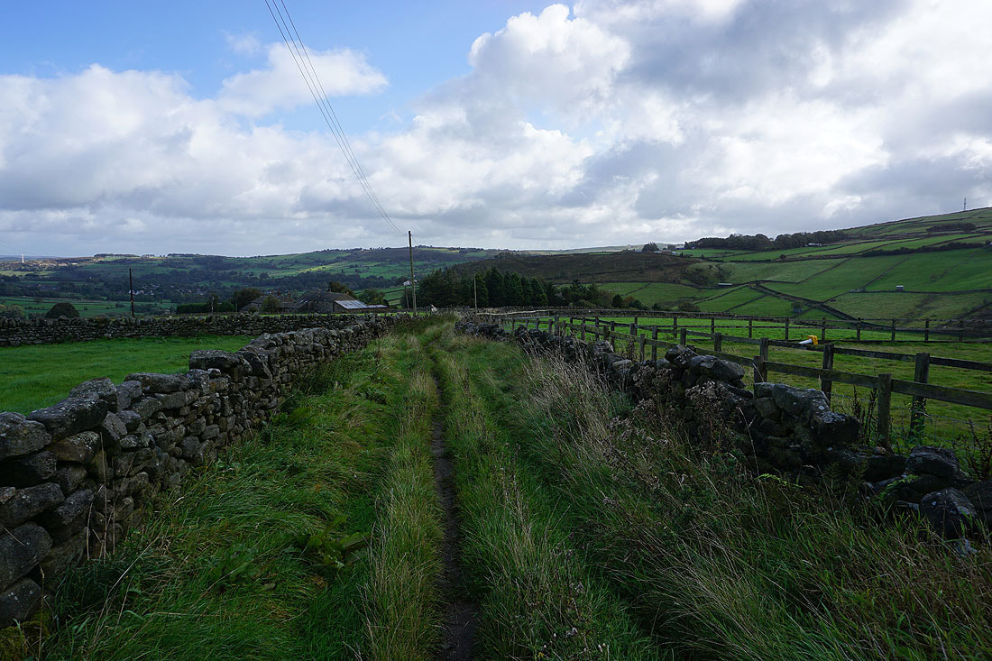
Taking the Bronte Way back to Penistone Hill Country Park
Penistone Hill Country Park comes into view. Not far to go.

A final shot looking north across Lower Laithe Reservoir to Stanbury, and Oakworth Moor