2nd April 2013 - The Chipping Fells
Walk Details
Distance walked: 7.5 miles
Total ascent: 1555 ft
OS map used: OL41 - Forest of Bowland & Ribblesdale
Time taken: 4.5 hrs
Route description: Chipping-Dobson's Brook-Saddle End Farm-Saddle Fell-Fair Snape Fell-Parlick-Fell Foot-Fish House Lane-Chipping
This was a new way onto Fair Snape Fell for me and I thoroughly enjoyed it. Still a cold wind blowing but frozen ground on the tops made for easy going.
From the car park in Chipping I followed the lane north-west out of the village to take a footpath across farmland. This crossed Dobson's Brook to reach a farm track which crossed a lane to reach Saddle End Farm. It was then an uphill walk over Saddle Fell to eventually reach the summit of Fair Snape Fell. My route back was down to Parlick, Fell Foot and Fish House Lane back to Chipping.
Route map
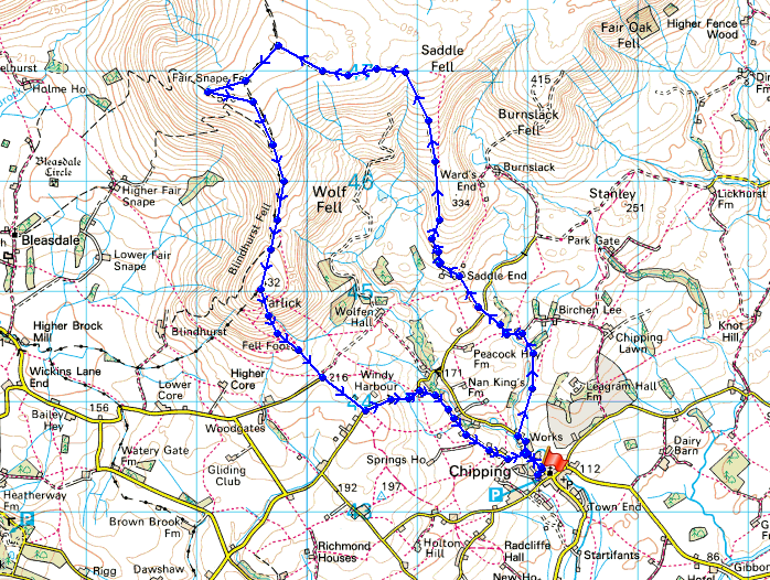
© Crown copyright. All rights reserved. License number PU 100034184.
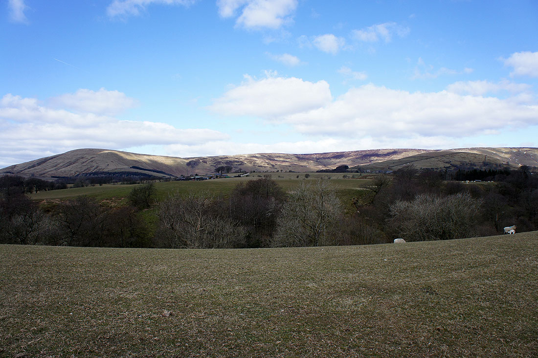
Parlick and Wolf Fell as I cross the fields outside of Chipping
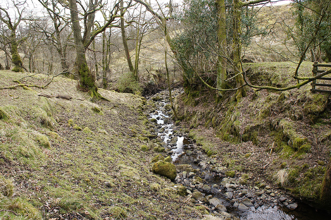
Dobson's Brook
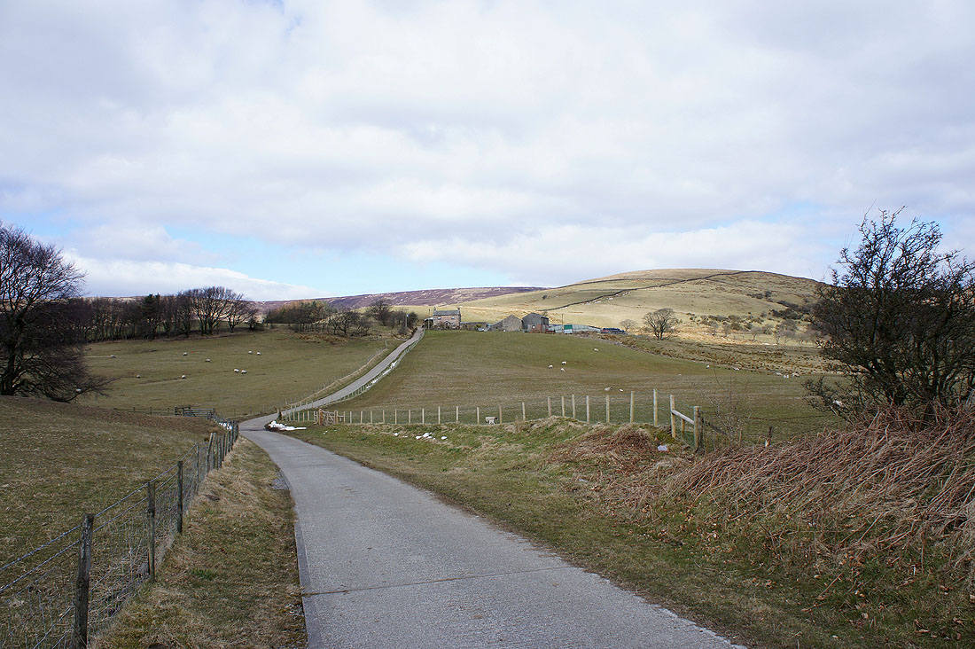
Heading for Saddle End Farm with Saddle Fell behind
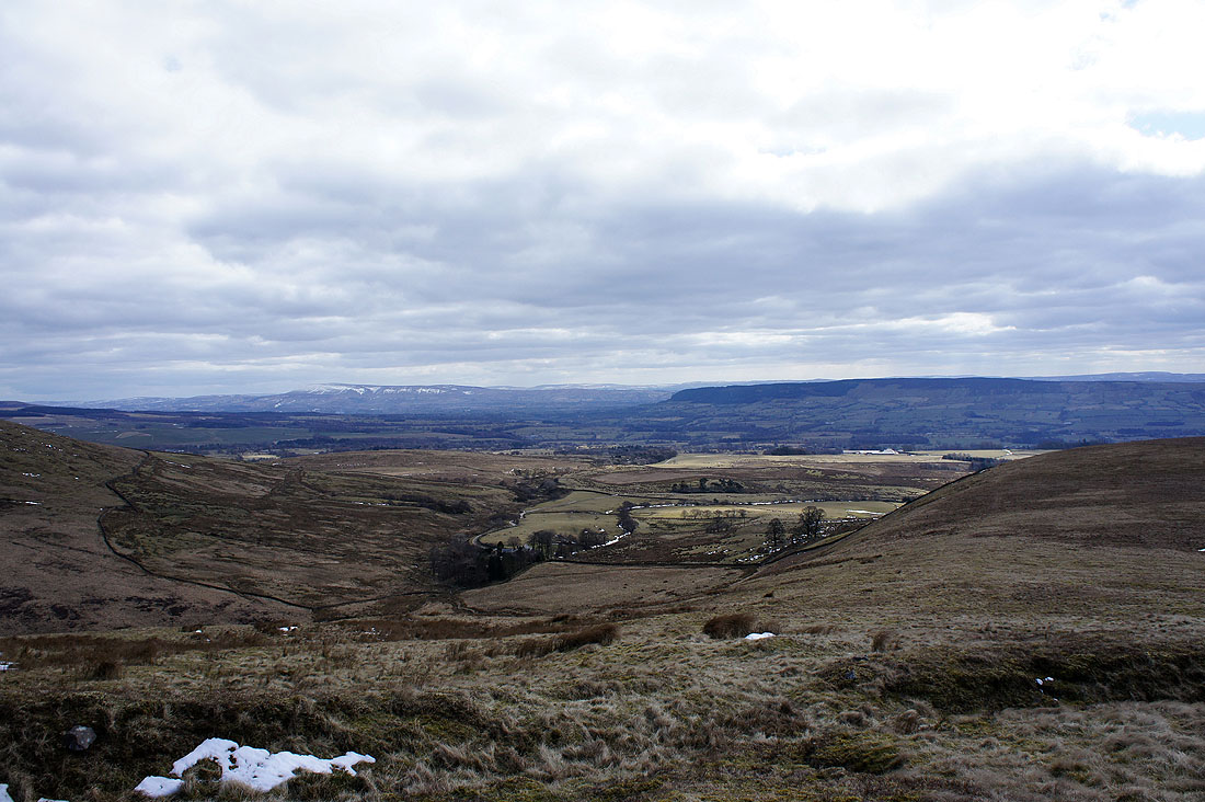
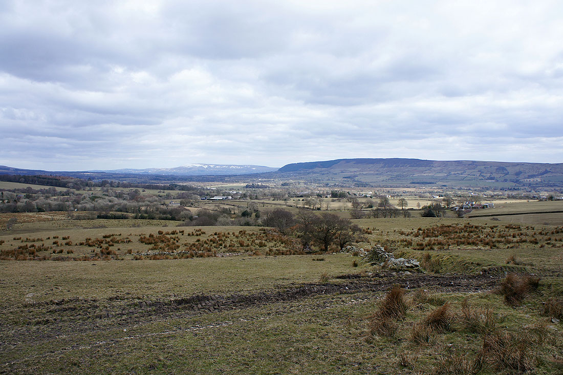
Pendle Hill and Longridge Fell from the ascent of Saddle Fell
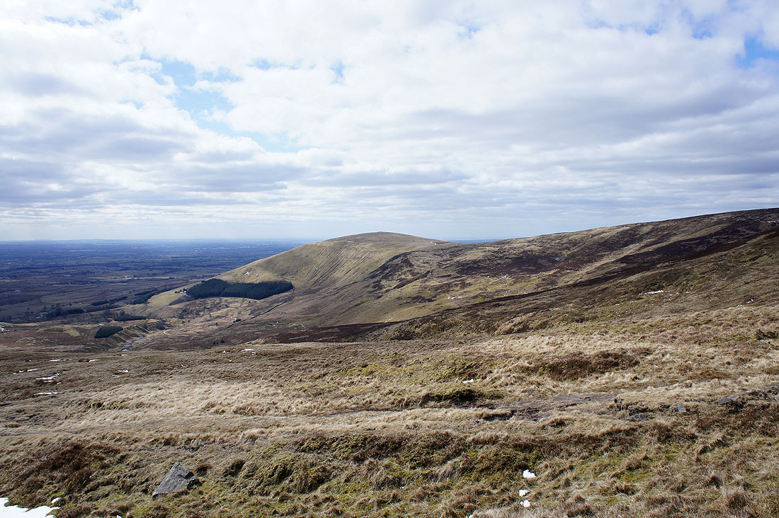
Looking across Greenlough Clough to Parlick
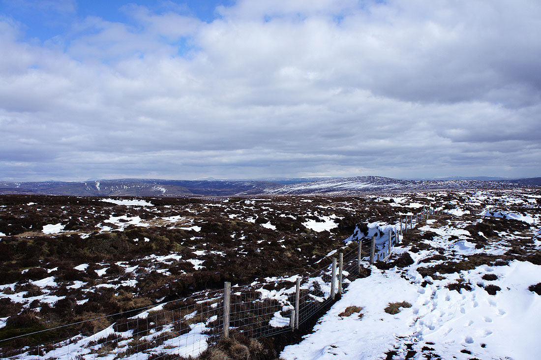
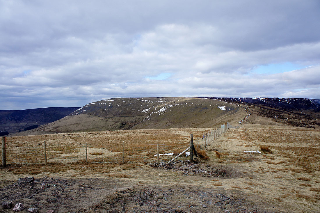
Bowland fells as I reach the fence that heads for Fair Snape Fell
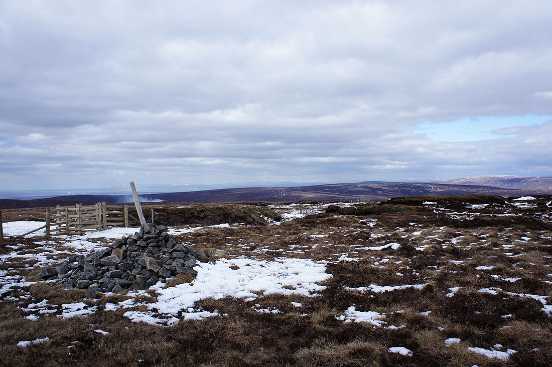
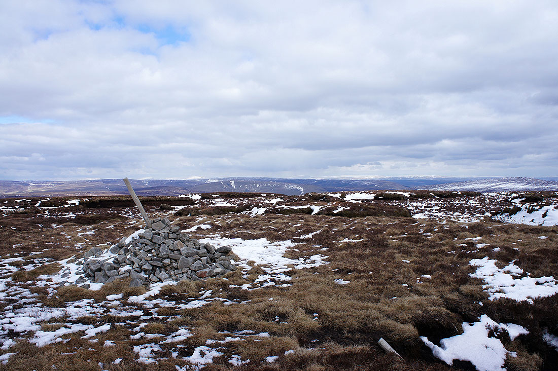
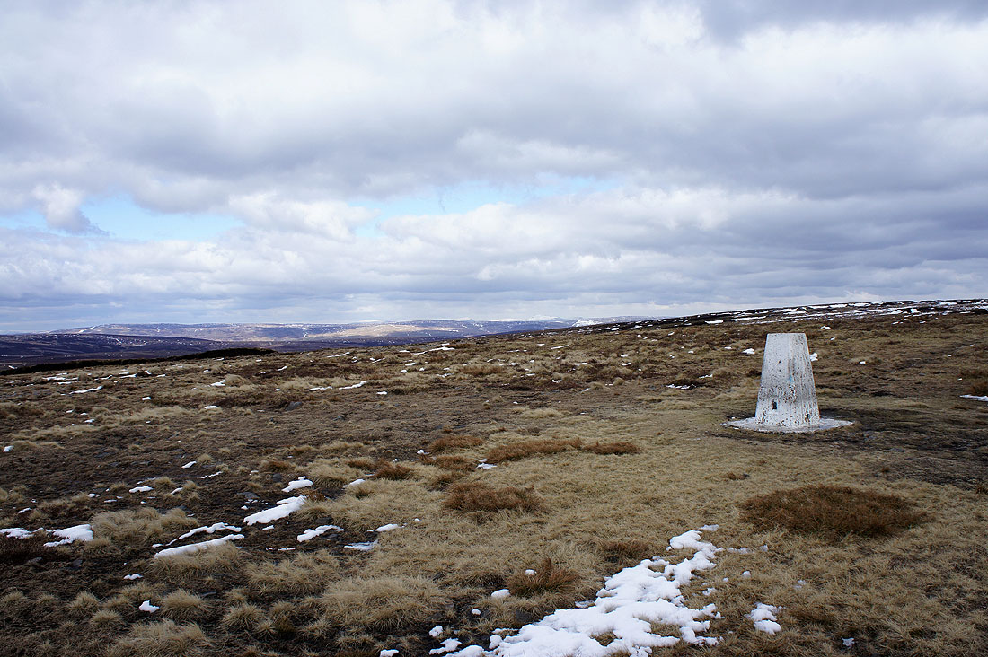
On the summit of Fair Snape Fell. Looking north over Hawthornthwaite Fell.
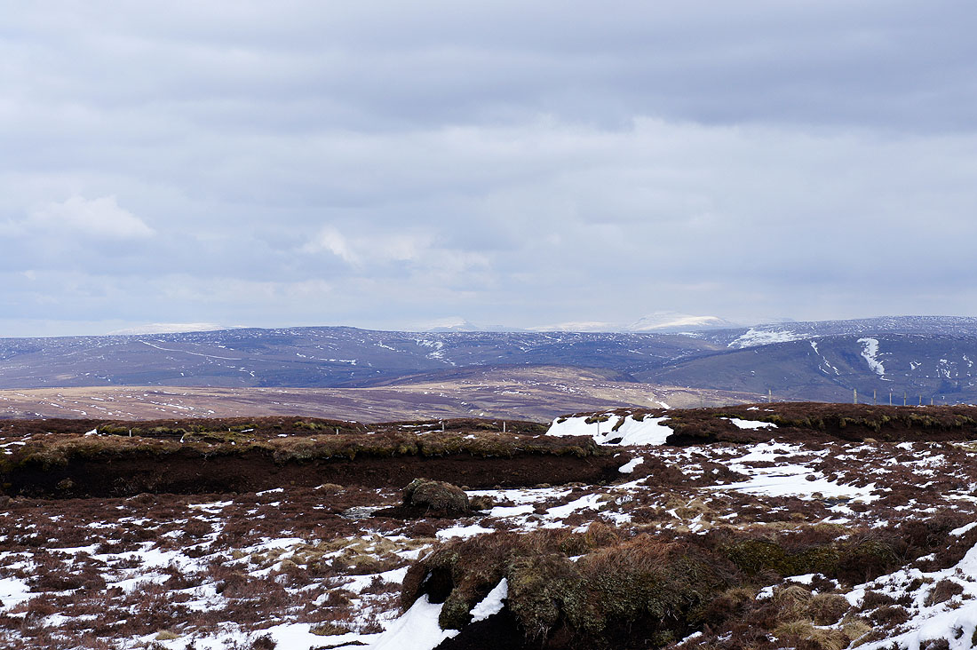
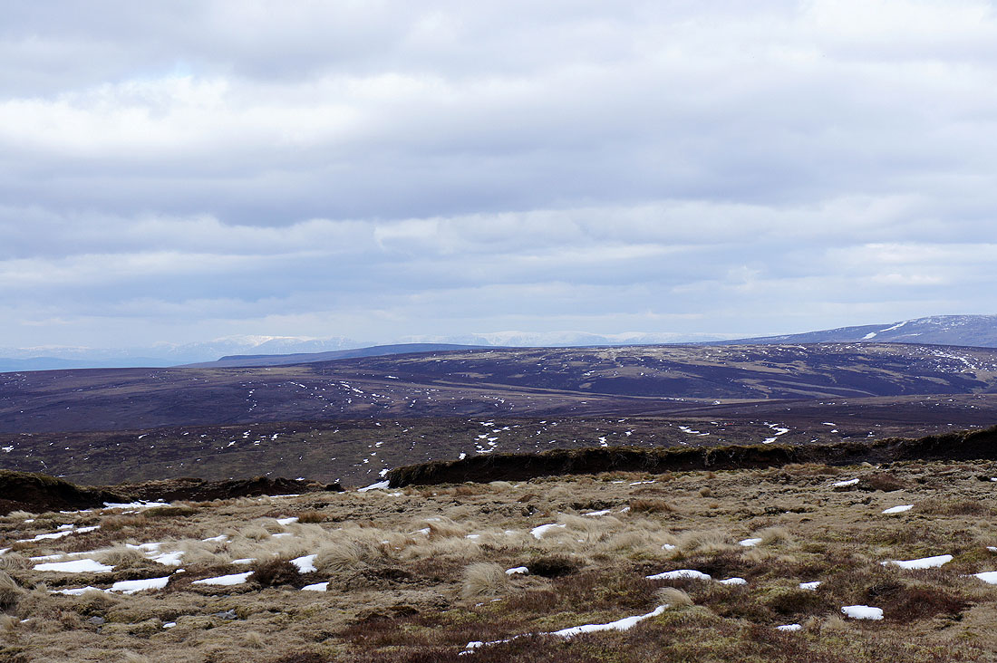
Wolfhole Crag and White Hill to the northeast with hints of snow covered hills beyond
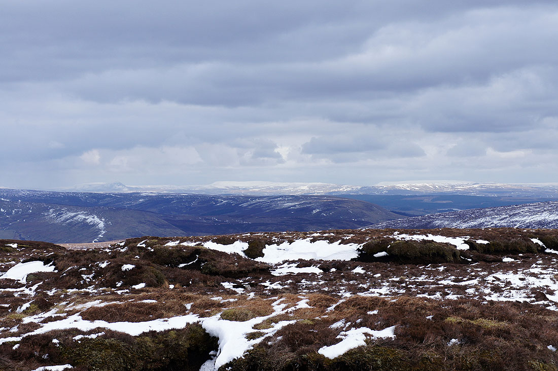
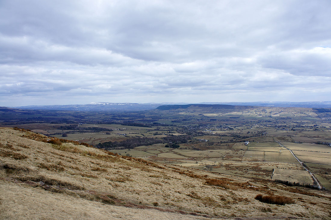
Zooming in to reveal Penyghent, Buckden Pike and Great Whernside
A little to the left are Great Coum, Whernside and Ingleborough
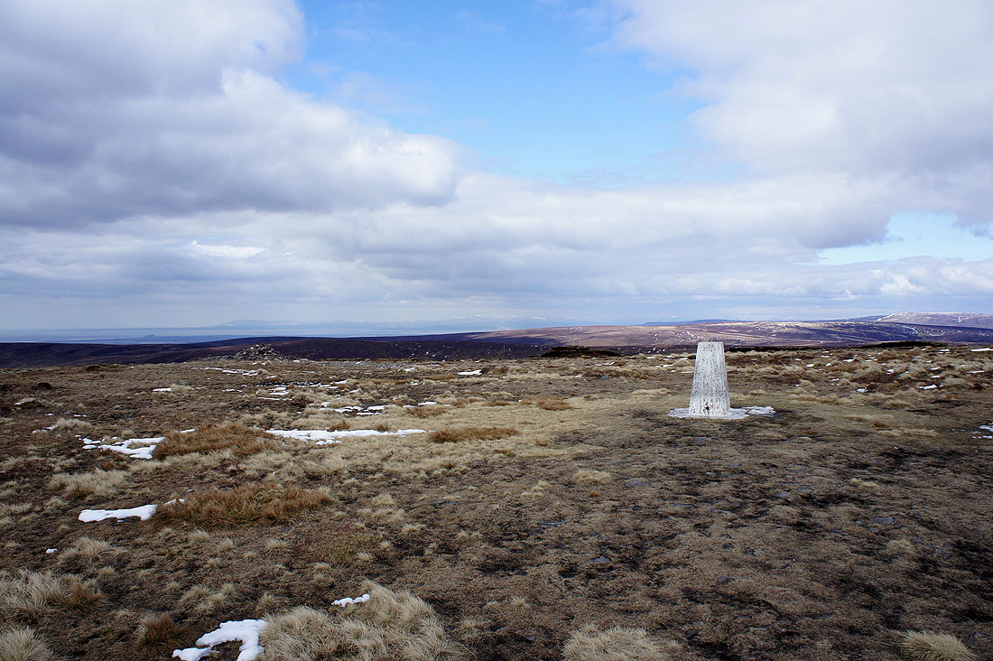
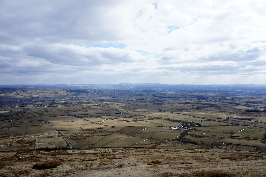
By the trig point on Fair Snape Fell. The best views are from here. To the northwest are Morecambe Bay and the Lake District fells beyond the Bleasdale Moors.
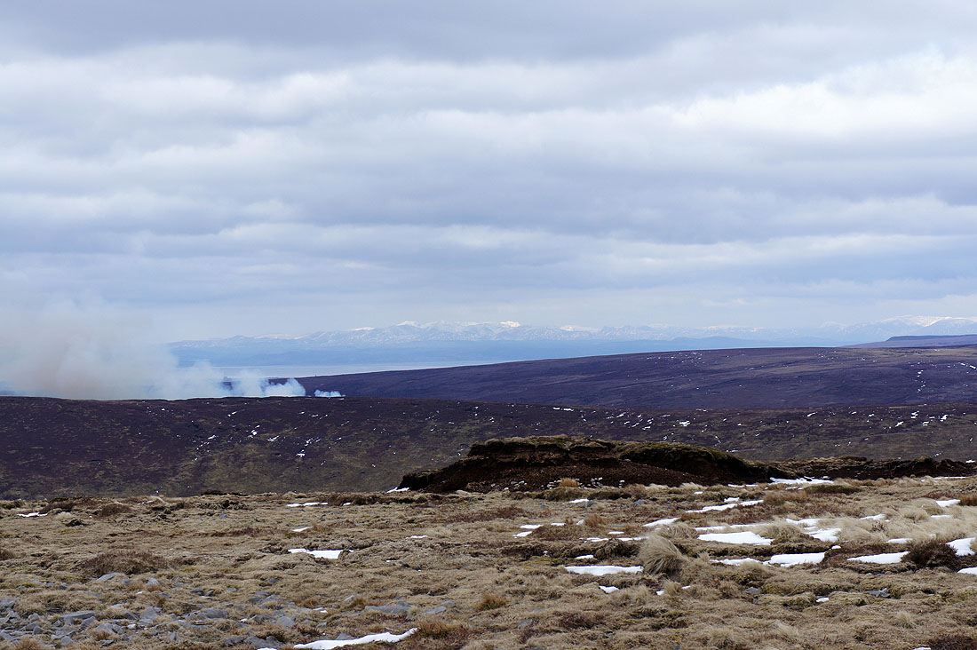
Ward's Stone and Wolfhole Crag to the north
The Lake District fells. The sun is lighting up Scafell and Bowfell.
The Fairfield and High Street fells beyond the Bowland fells of Grit Fell and Hawthornthwaite Fell
Parlick
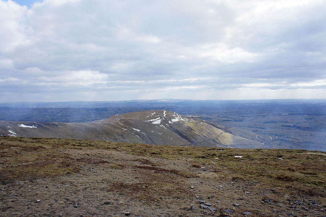
Fair Snape Fell from Parlick
Pendle Hill and Longridge Fell across the Loud valley as I head down to Fell Foot
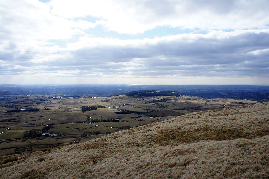
The West Pennine Moors in the distance with Winter Hill the high point
Beacon Fell
A roadside view of Pendle Hill and Longridge Fell as I head back to Chipping