2nd April 2017 - Ward's Stone to Clougha Pike
Walk Details
Distance walked: 8.9 miles
Total ascent: 1676 ft
OS map used: OL41 - Forest of Bowland & Ribblesdale
Time taken: 6 hrs
Route description: Birk Bank car park on Rigg Lane-Birk Bank-Ottergear Bridge-track round the back of Clougha Pike-Cabin Flat-Ward's Stone-Cabin Flat-Grit Fell-Clougha Pike-Clougha Scar-Birk Bank car park on Rigg Lane
I really didn't fancy driving anywhere too far away today and after racking my brains trying to think of somewhere to go I realised that it had been the best part of eighteen months since I'd last paid Clougha Pike a visit. I decided that in addition to the usual route of combining the pike with Grit Fell I'd do an out and back to the western summit of Ward's Stone. It would add a couple of miles so that it would feel as if I'd done a proper walk in the hills and the view isn't too bad either. The definite highlight though was the view from Clougha Pike (it usually is), as my arrival there coincided with the best weather of the day. Clear blue skies near the coast, warm sunshine, a breeze off the sea and great visibility combined to make it a fantastic place to be.
From the car park I followed the path north across Birk Bank and Ottergear Bridge to reach the shooters track that makes for the col between Ward's Stone and Grit Fell. I followed this up round the back of Clougha Pike to its top and from there I made my way east across the rather boggy ground of Cabin Flat and up to the western summit of Ward's Stone. After having lunch here I retraced my steps to the track to cross it and head up to the top of Grit Fell. There was a brief stop to take in the view before continuing westwards to Clougha Pike. My route back took me down Clougha Scar and through the woodland on Birk Bank to the car park.
Route map
© Crown copyright. All rights reserved. License number PU 100034184.
Looking across the valley of the River Condor as I set off from the car park..
On the path across Birk Bank
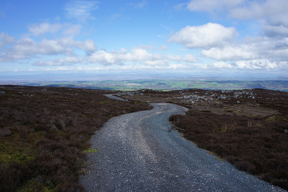
Turning round for a view of Morecambe Bay and the Lake District fells as I follow the track up the back of Clougha Pike
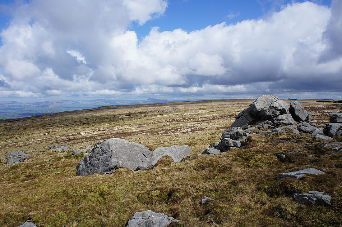
Whernside, Ingleborough and Penyghent in the Yorkshire Dales
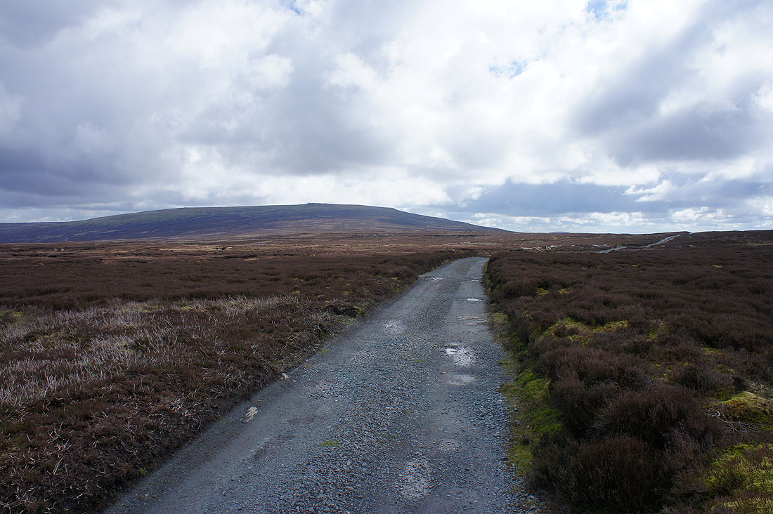
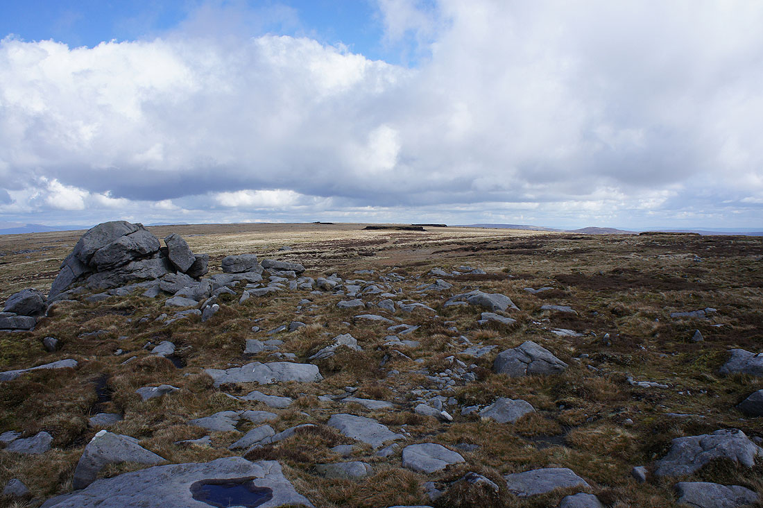
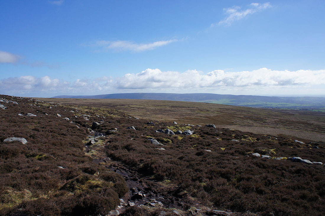
The track approaches its high point at the gap between Ward's Stone and Grit Fell
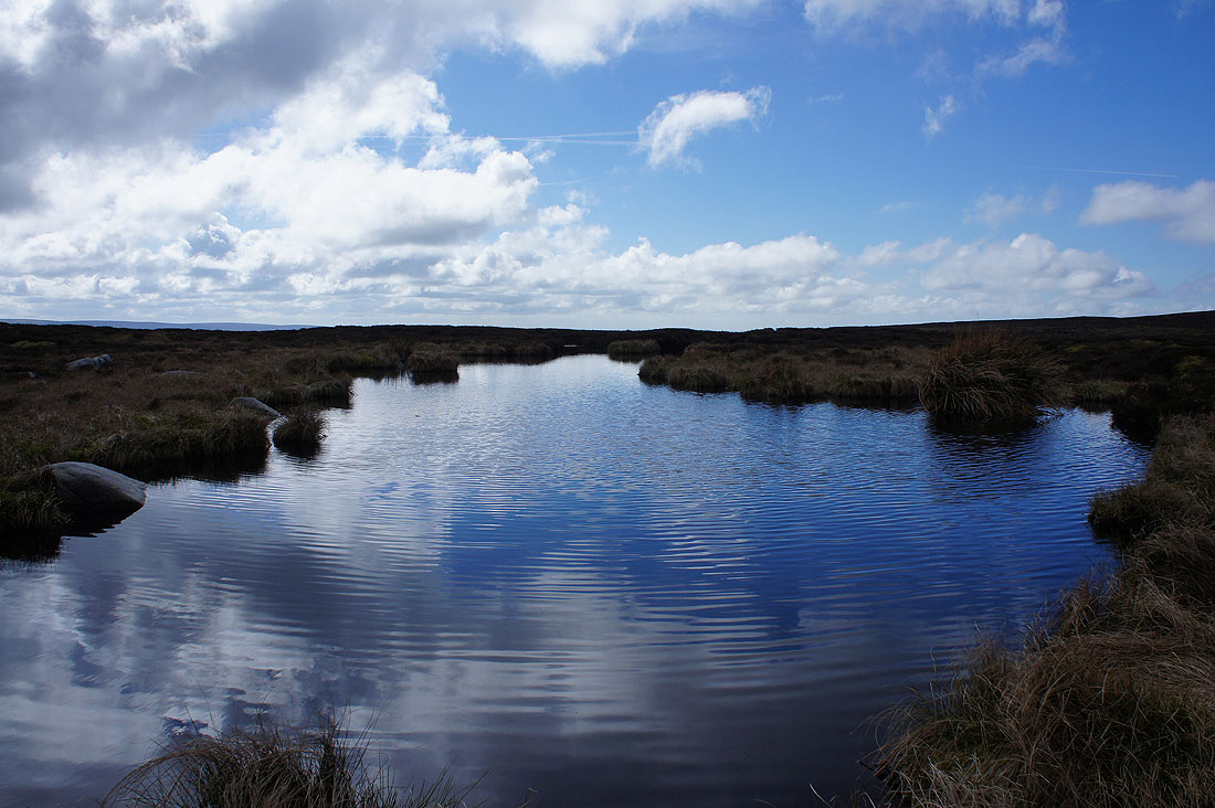
Peaty pool
My arrival at the western summit of Ward's Stone is greeted with a view across to Whernside, Ingleborough and Penyghent in the Yorkshire Dales
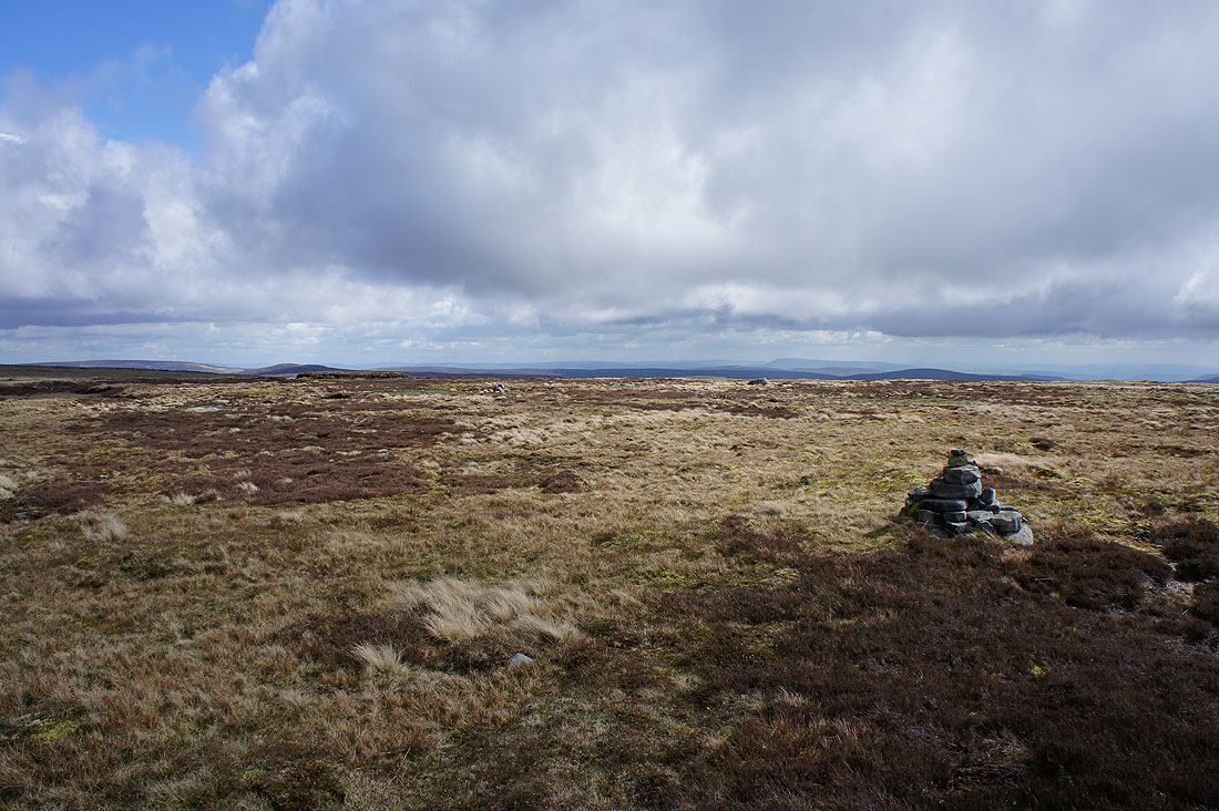
The broad top of Ward's Stone
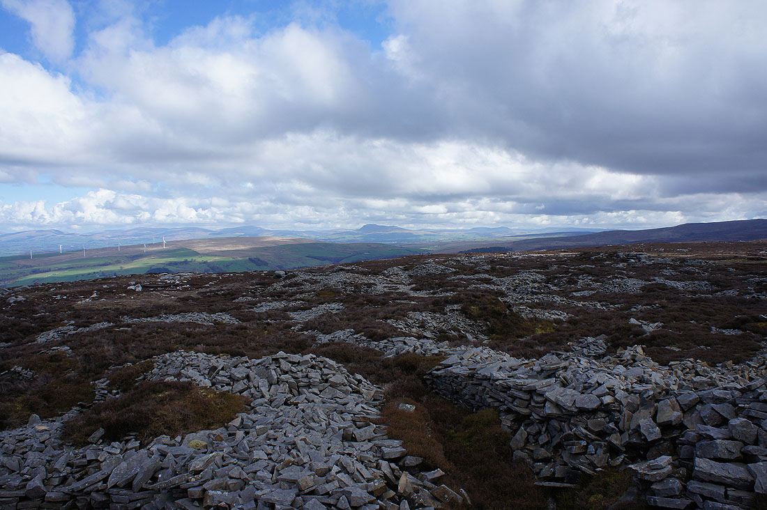
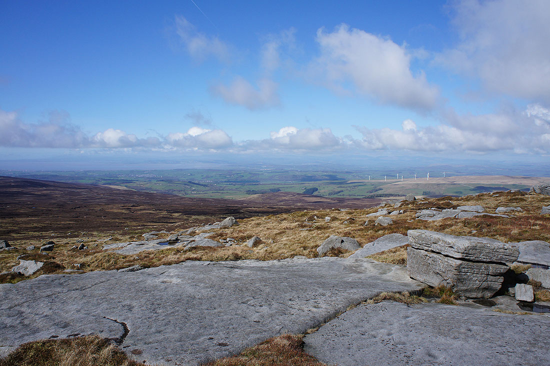
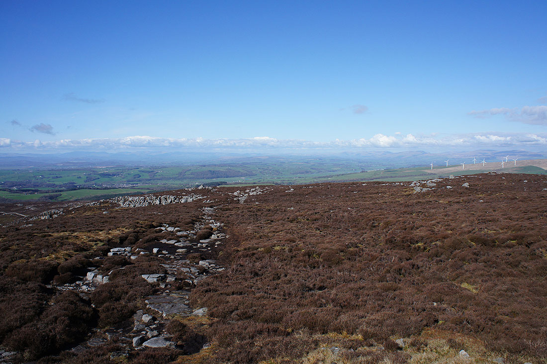
The South Pennines and Pendle Hill beyond the nearby Bowland fells
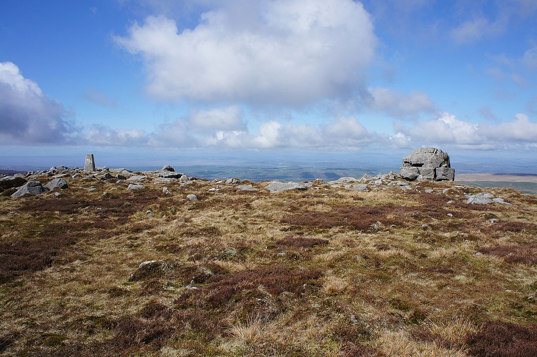
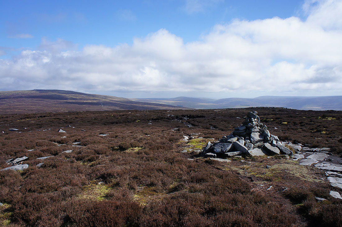
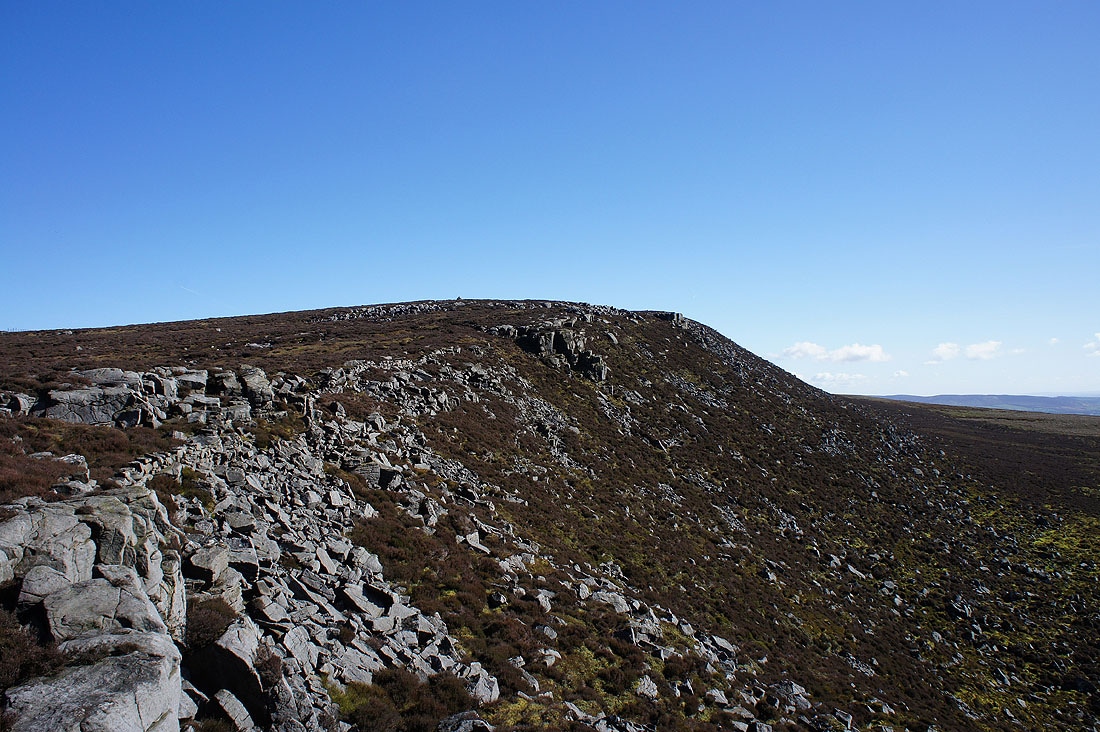
Trig point and Ward's Stone
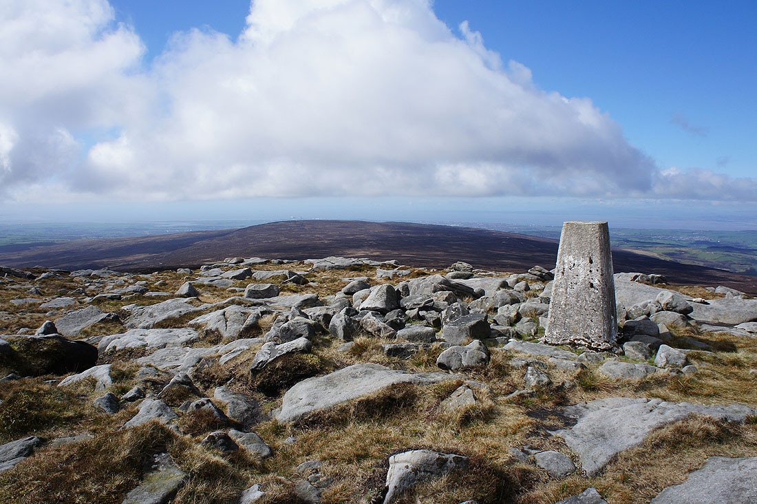
Grit Fell to the west
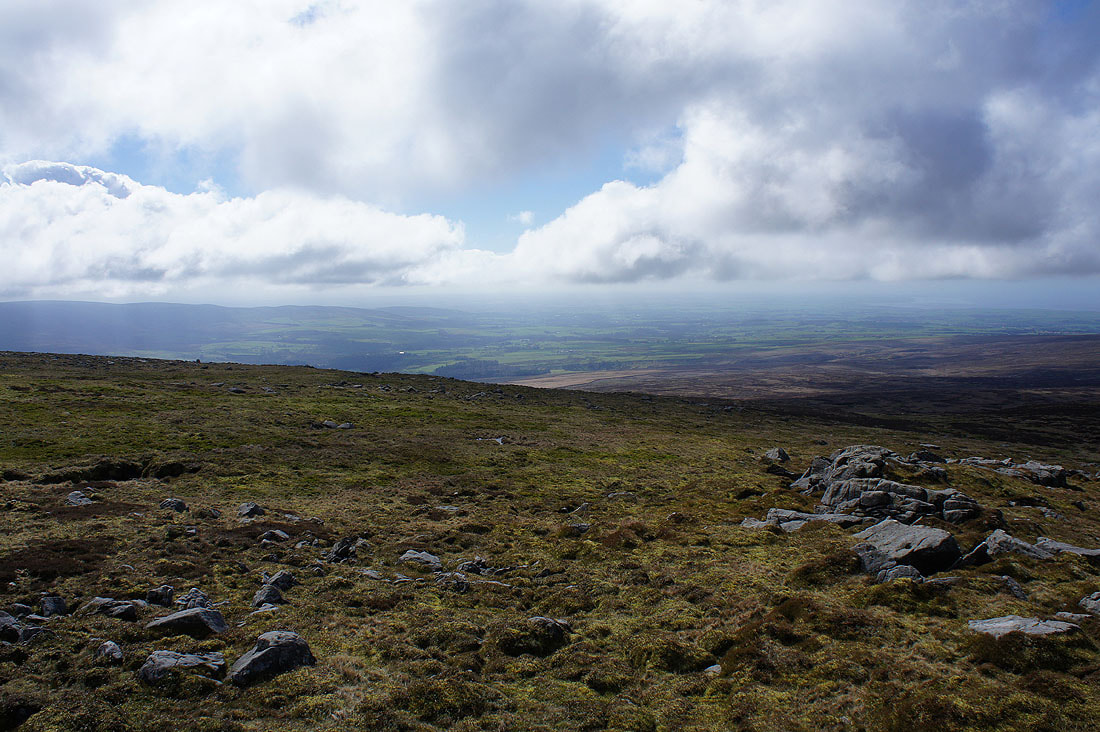
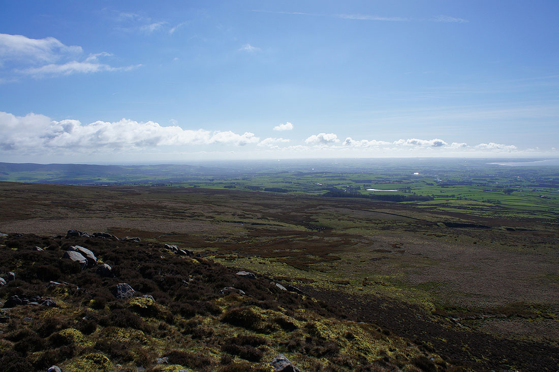
A rather murky view across Wyresdale. Cloud is forming as soon as the wind comes in off the sea and that's where its base is lowest.
Morecambe Bay, the Lune Valley and glimpses of the Lake District fells to the northwest
I've made my way across to Grit Fell from Ward's Stone. Ingleborough is easy to make out to the northeast.
Ward's Stone, Whins Brow, the Trough of Bowland and Totridge
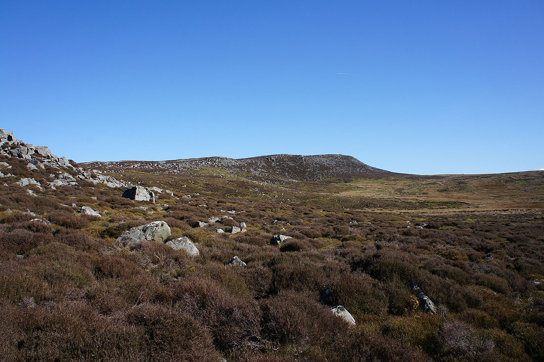
Heading for Clougha Pike. Having this view in front of you makes you want to quicken your step..
Bowland grit
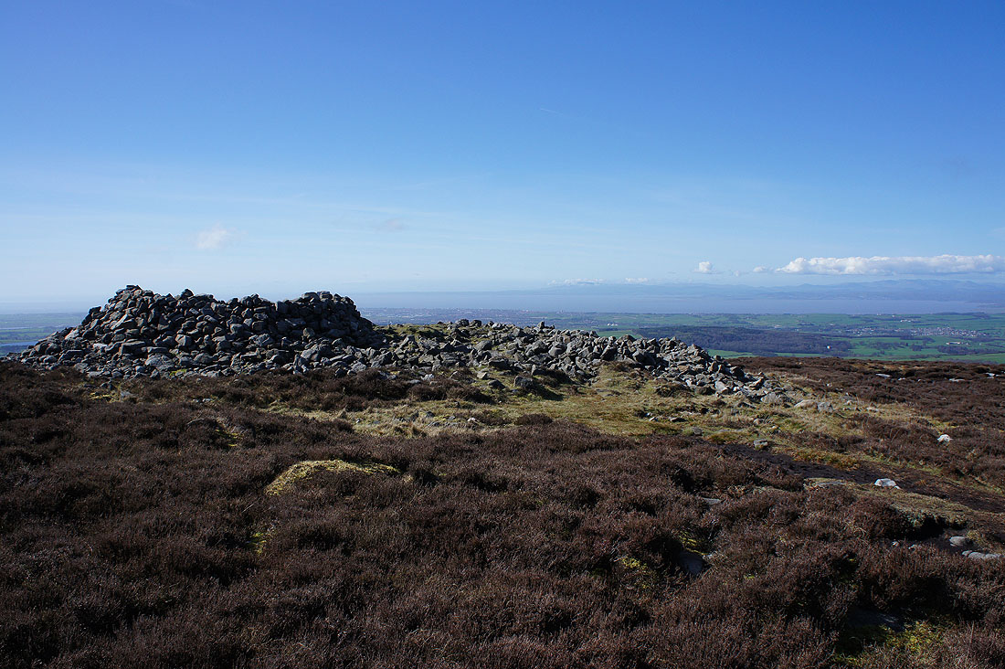
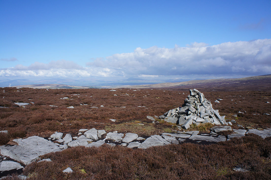
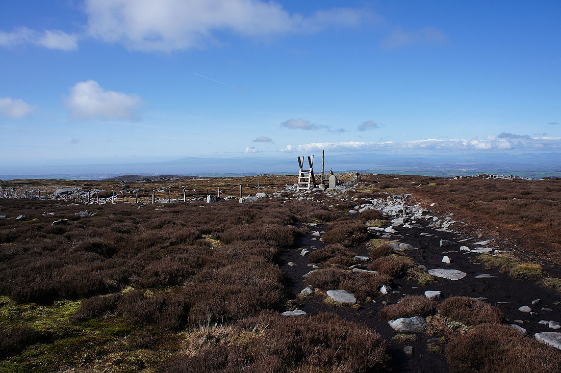
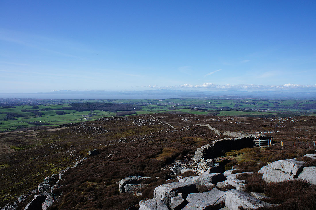
The large shelter cairn as I arrive on Clougha Pike. Now to spend some time here and take in the fabulous view.
Starting with looking southeast across Wyresdale to Hawthornthwaite Fell
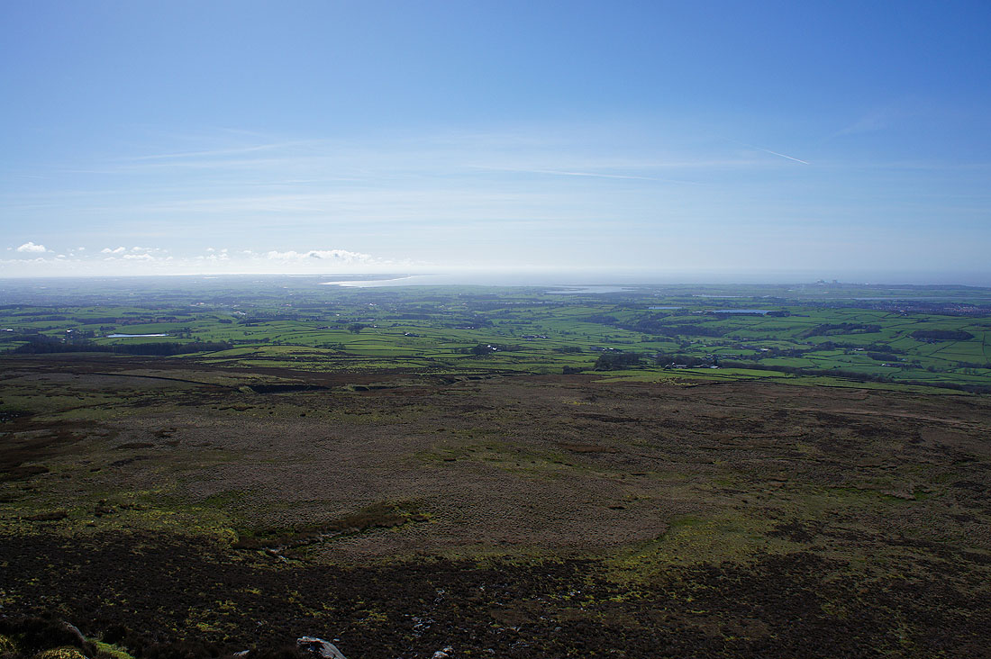
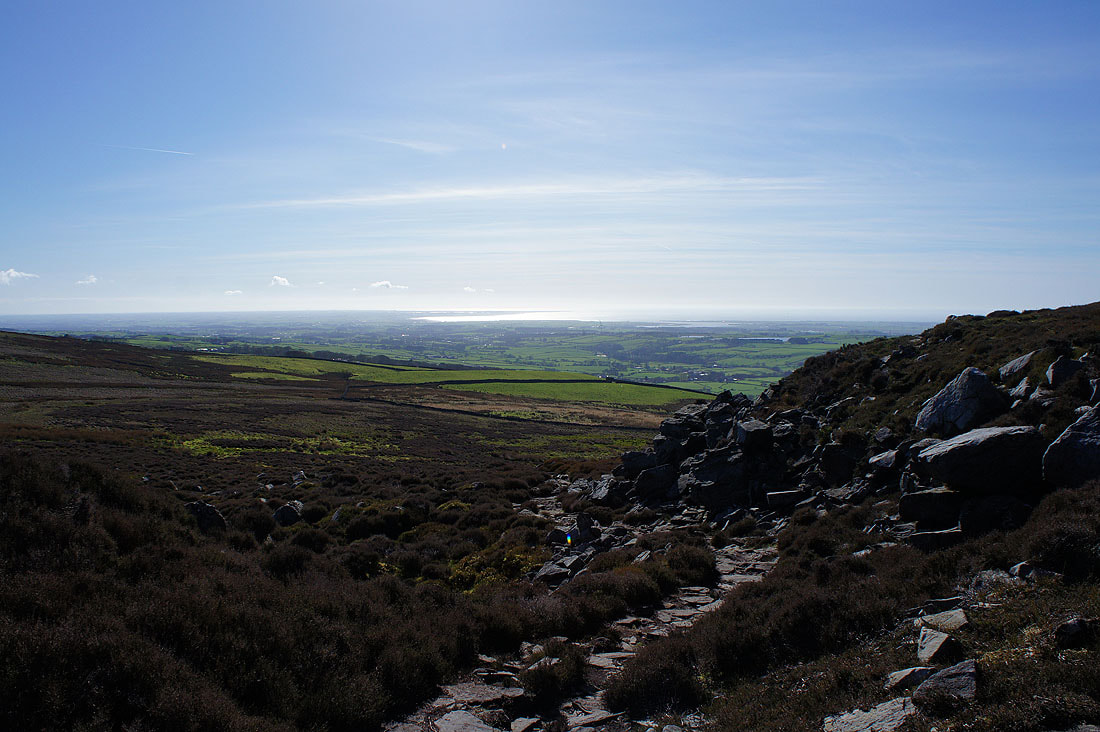
Wyresdale and the Fylde coast
The Lune estuary
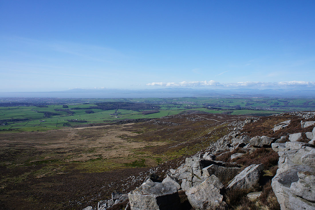
Morecambe Bay and the Lake District fells to the northwest
The Lune valley, Lake District eastern and far eastern fells and the Howgills to the north
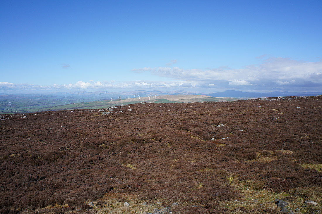
The Howgills, Middleton Fell, Great Coum, Gragareth, Whernside, Ingleborough and Penyghent to the northeast in the Yorkshire Dales
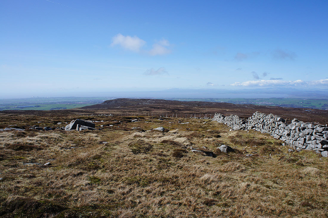
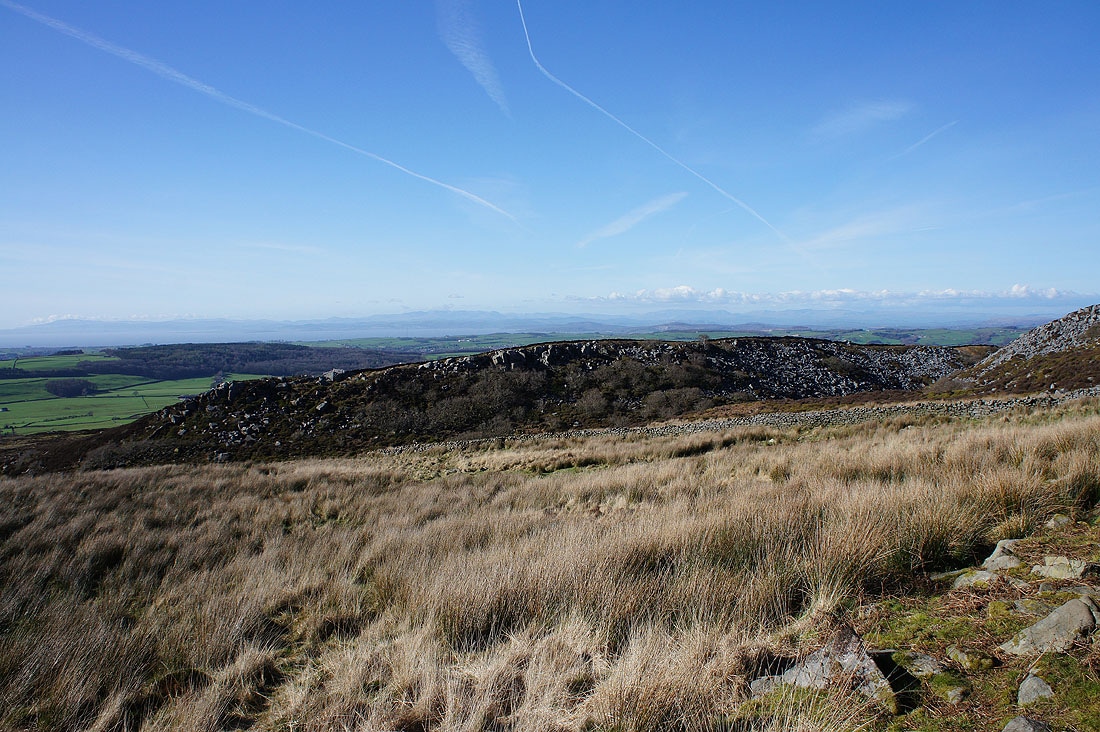
Heading down Clougha Scar
Clougha Scar
The Lune estuary as I leave Clougha Scar
Looking back to the top of Clougha Pike
The Lake District fells in the distance as I look across the top of Windy Clough
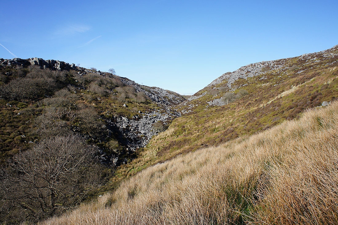
Windy Clough
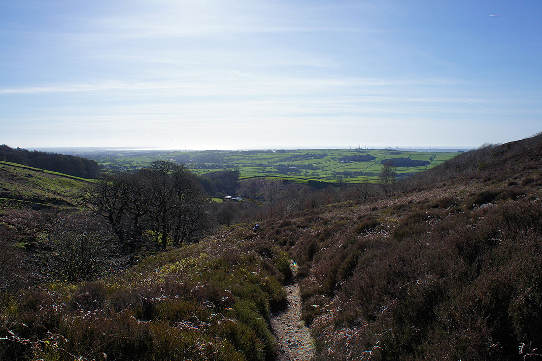
Descending into the woodland on Birk Bank
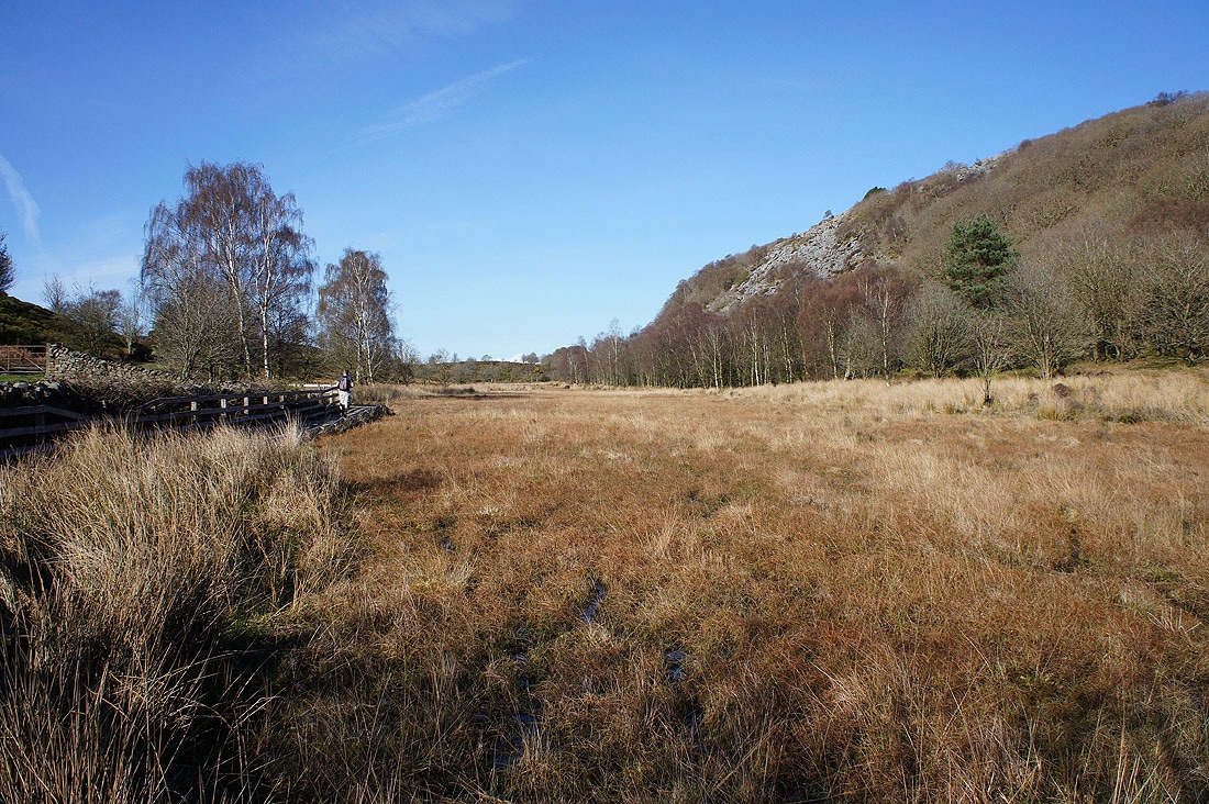
Duckboards are essential for crossing the marshy ground
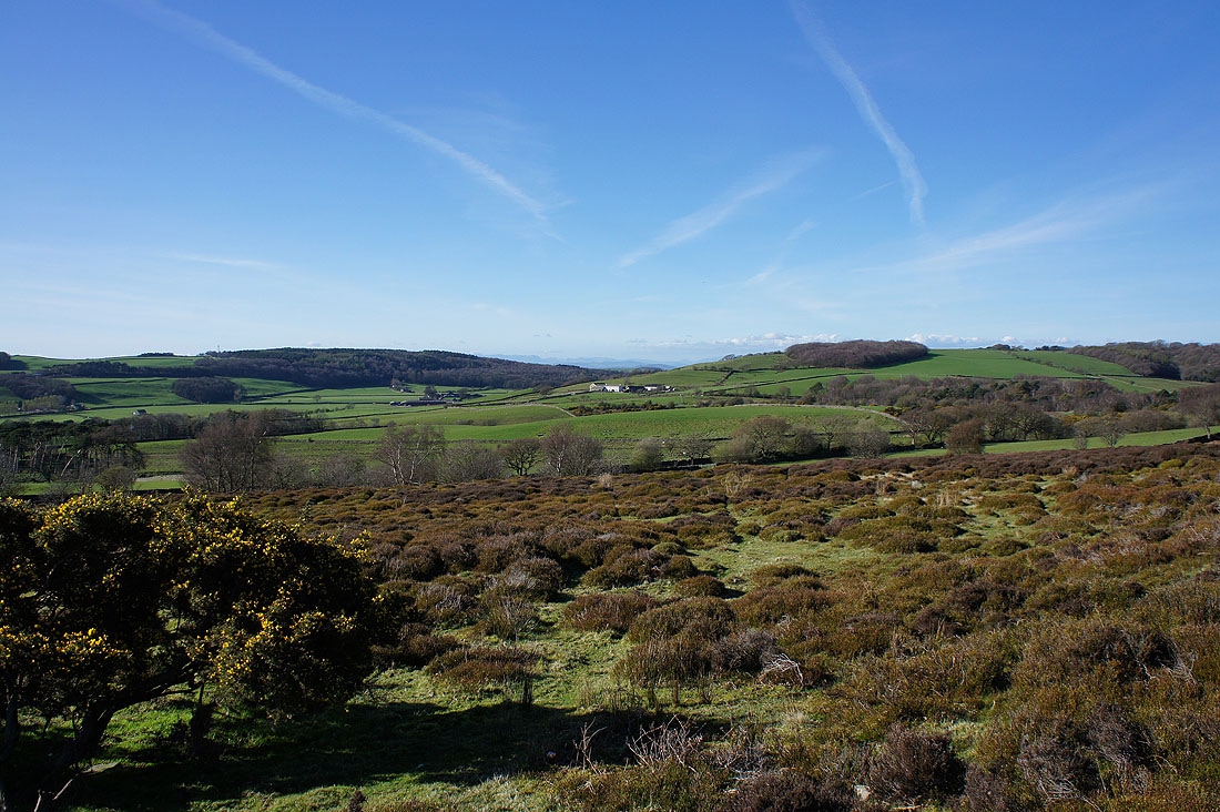
A beautiful end to the afternoon as I arrive back at the car park on Rigg Lane