2nd April 2022 - Great Whernside
Walk Details
Distance walked: 12.7 miles
Total ascent: 2066 ft
OS map used: OL2 - Yorkshire Dales, Southern & Western areas and OL30 - Yorkshire Dales, Northern & Central areas
Time taken: 7 hrs
Route description: Kettlewell-Cam Gill Road-Top Mere Road-Starbotton Road-Hunters Sleets-Black Dike End-Blackfell Top-Great Whernside-Sweet Hill-Slatepit Rigg-Capplestone Gate-Conistone Turf Road-Bycliffe Road-Dales Way-Conistone Lane-Kettlewell
During yesterday's walk up Ingleborough I decided that today's walk would include Great Whernside. I could see that what snow cover there was was more extensive further east, so I just needed to work out a route that would keep me high up on the moors for as long as possible. Starting from Kettlewell, the one I went for took in the whole of Great Whernside's summit ridge and then the moorland to the south to the trig point at Capplestone Gate. All of it was already familiar to me although I've never done this exact route before. It certainly made for a good full day's walk. It was another cold day with a mixture of cloud and sunny spells, and a distinctly chilly breeze. The cloud built up enough in the afternoon for a few brief light wintry showers, and this made for some dramatic skies. The snow was softening and starting to disappear even on the top of Great Whernside so I can't imagine it lasting much longer.
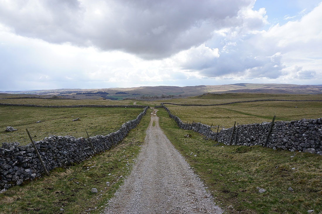
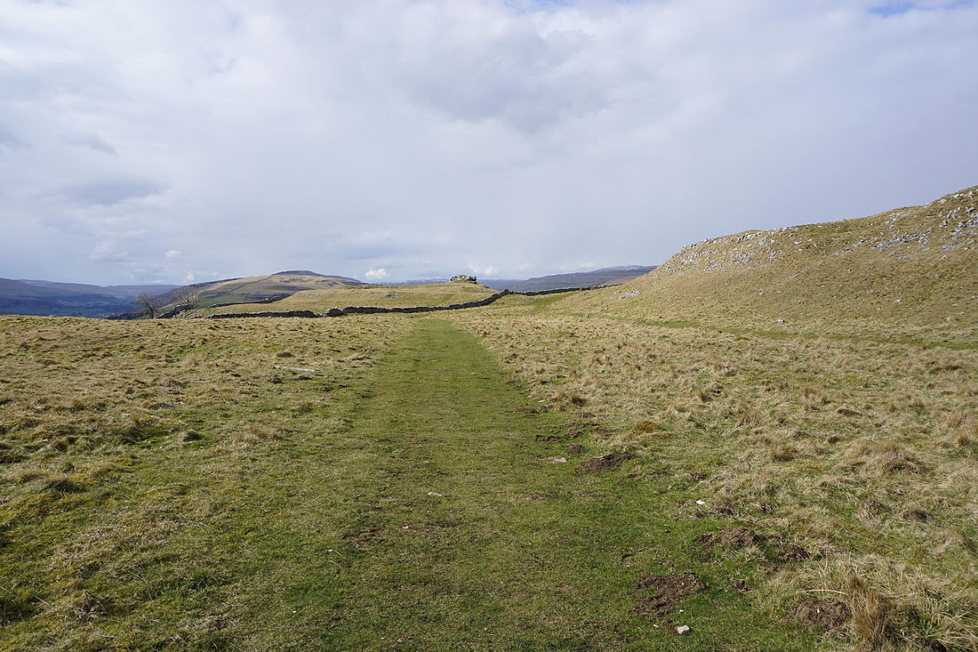
From the NP car park in Kettlewell I walked through the village and onto Cam Gill Road, which I walked up to the first right hand bend, and onto the bridleway of Top Mere Road. I followed this to its top and joined the bridleway of Starbotton Road to reach the Kettlewell to Coverdale road across Hunters Sleets. After crossing the road I took the path opposite and followed it uphill to Black Dike End, and then south to Blackfell Top and on to the trig point on the summit of Great Whernside, where I stopped for lunch. After this break I made my way to Great Whernside's south top, then followed the fence south to Sweet Hill where I made a largely pathless descent across the moorland of Whernside Pasture to reach the footpath on the western edge of Slatepit Rigg. Once I'd made it I followed the path south along the edge of the moor to reach the trig point at Capplestone Gate. From there I took the Conistone Turf Road path down to the track of Bycliffe Road and then walked down this to reach the Dales Way. I then followed the Dales Way north past the limestone knoll of Conistone Pie and down Highgate Leys Lane to Conistone Lane, which after a short walk north along I left for a footpath on the left to the River Wharfe and a return to Kettlewell.
Total ascent: 2066 ft
OS map used: OL2 - Yorkshire Dales, Southern & Western areas and OL30 - Yorkshire Dales, Northern & Central areas
Time taken: 7 hrs
Route description: Kettlewell-Cam Gill Road-Top Mere Road-Starbotton Road-Hunters Sleets-Black Dike End-Blackfell Top-Great Whernside-Sweet Hill-Slatepit Rigg-Capplestone Gate-Conistone Turf Road-Bycliffe Road-Dales Way-Conistone Lane-Kettlewell
During yesterday's walk up Ingleborough I decided that today's walk would include Great Whernside. I could see that what snow cover there was was more extensive further east, so I just needed to work out a route that would keep me high up on the moors for as long as possible. Starting from Kettlewell, the one I went for took in the whole of Great Whernside's summit ridge and then the moorland to the south to the trig point at Capplestone Gate. All of it was already familiar to me although I've never done this exact route before. It certainly made for a good full day's walk. It was another cold day with a mixture of cloud and sunny spells, and a distinctly chilly breeze. The cloud built up enough in the afternoon for a few brief light wintry showers, and this made for some dramatic skies. The snow was softening and starting to disappear even on the top of Great Whernside so I can't imagine it lasting much longer.
From the NP car park in Kettlewell I walked through the village and onto Cam Gill Road, which I walked up to the first right hand bend, and onto the bridleway of Top Mere Road. I followed this to its top and joined the bridleway of Starbotton Road to reach the Kettlewell to Coverdale road across Hunters Sleets. After crossing the road I took the path opposite and followed it uphill to Black Dike End, and then south to Blackfell Top and on to the trig point on the summit of Great Whernside, where I stopped for lunch. After this break I made my way to Great Whernside's south top, then followed the fence south to Sweet Hill where I made a largely pathless descent across the moorland of Whernside Pasture to reach the footpath on the western edge of Slatepit Rigg. Once I'd made it I followed the path south along the edge of the moor to reach the trig point at Capplestone Gate. From there I took the Conistone Turf Road path down to the track of Bycliffe Road and then walked down this to reach the Dales Way. I then followed the Dales Way north past the limestone knoll of Conistone Pie and down Highgate Leys Lane to Conistone Lane, which after a short walk north along I left for a footpath on the left to the River Wharfe and a return to Kettlewell.
Route map
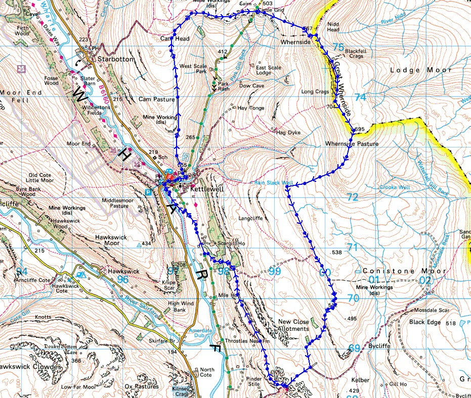
© Crown copyright. All rights reserved. License number PU 100034184.
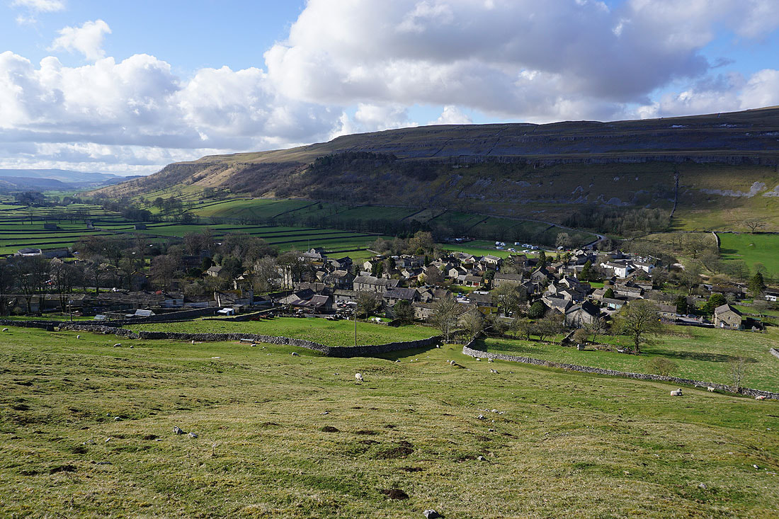
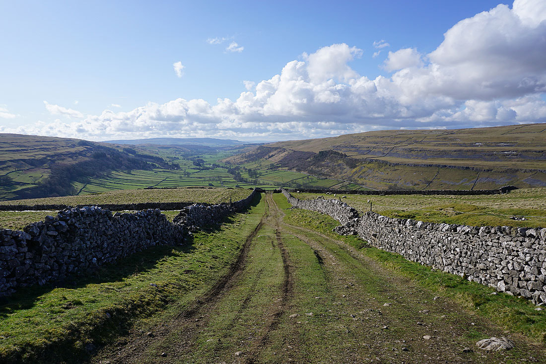
Kettlewell as I set off up the track of Top Mere Road
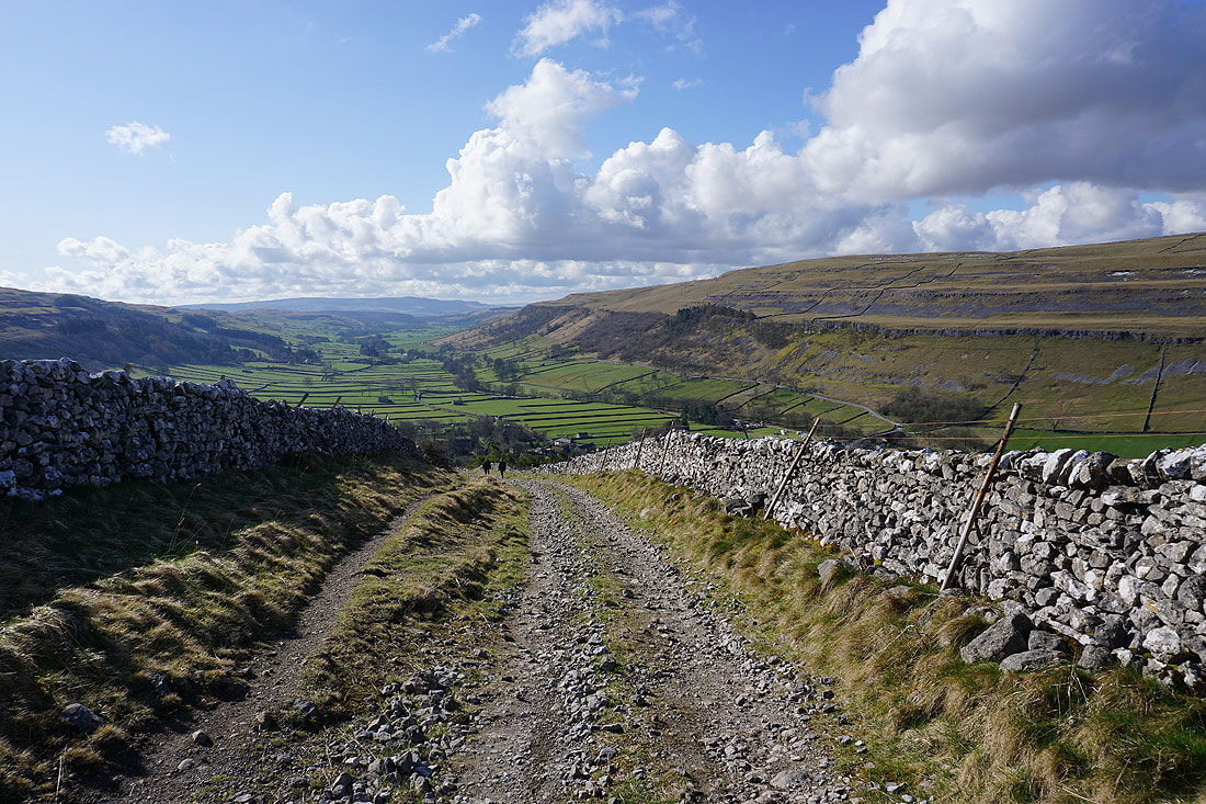
There are great views back down to Wharfedale as I follow Top Mere Road up Cam Pasture to Cam Head and the bridleway of Starbotton Road.....
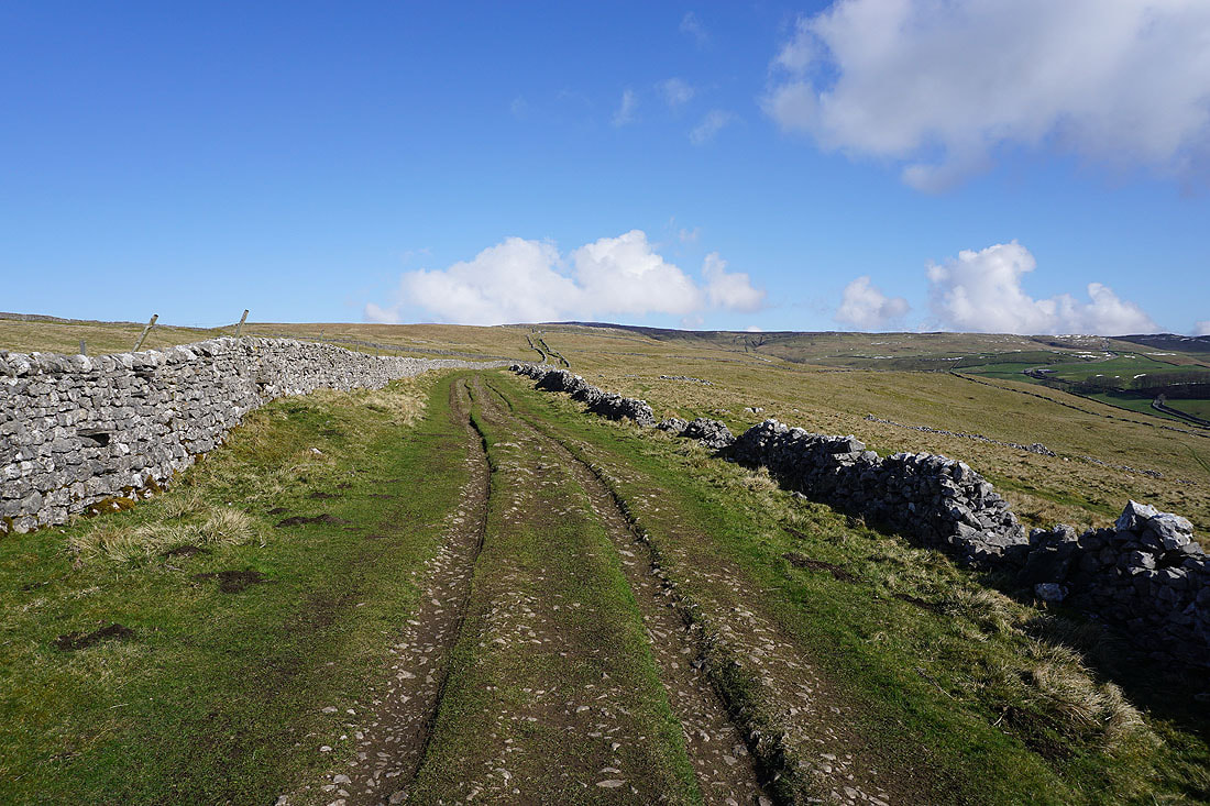
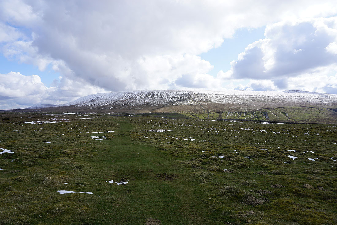
On the bridleway of Starbotton Road with a snow capped Great Whernside to my right
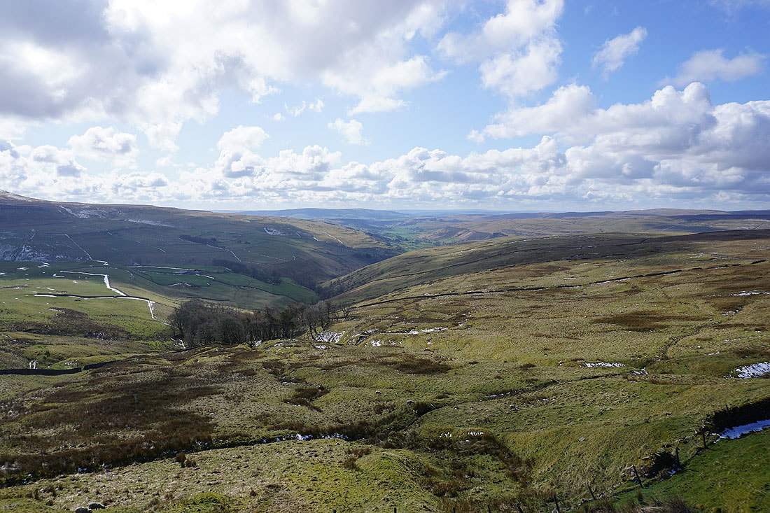
Looking down the valley of Cam Gill Beck to Wharfedale
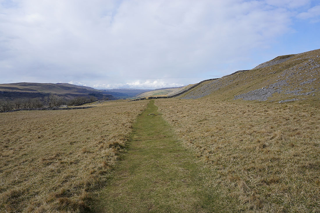
Heading across Hunters Sleets to the Kettlewell to Coverdale road
Looking back across Hunters Sleets to Buckden Pike as I make my way up onto Great Whernside
Blackfell Top from Black Dike End
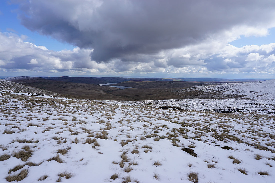
Angram Reservoir, Scar House Reservoir, and Nidderdale
Pendle Hill in the distance from Nidd Head
Looking north as I head for Blackfell Top. Buckden Pike in sunshine, with the moors around Wensleydale in the distance.
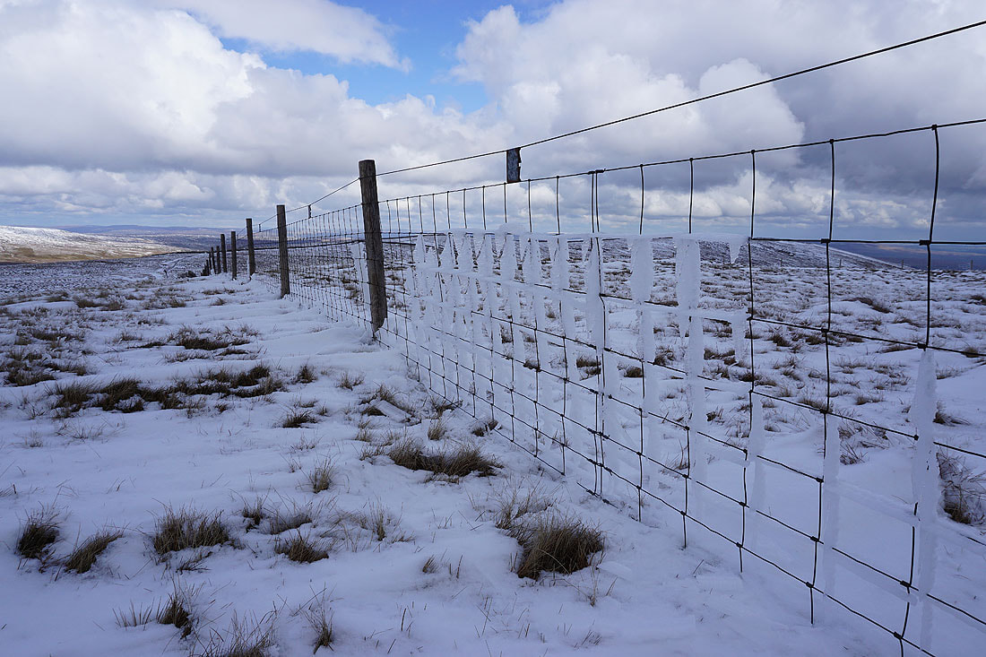
It's still cold enough for rime ice to hang onto this fence
The sunlit northern slopes of Great Whernside
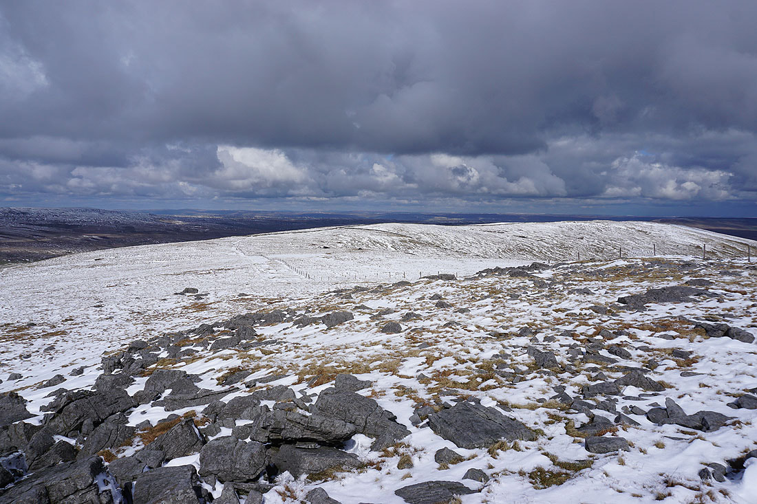
Looking south to the summit of Great Whernside
and west to Fountains Fell, Penyghent, Ingleborough, Plover Hill, Birks Fell and Whernside
Windblown snow
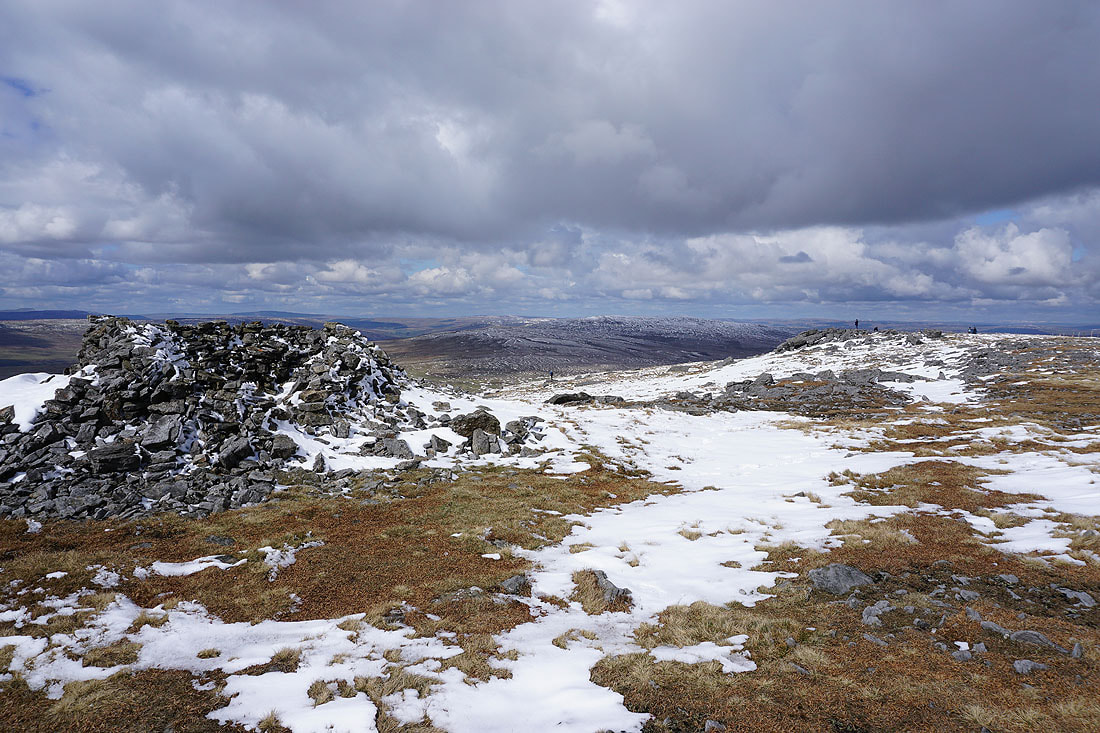
On Blackfell Top
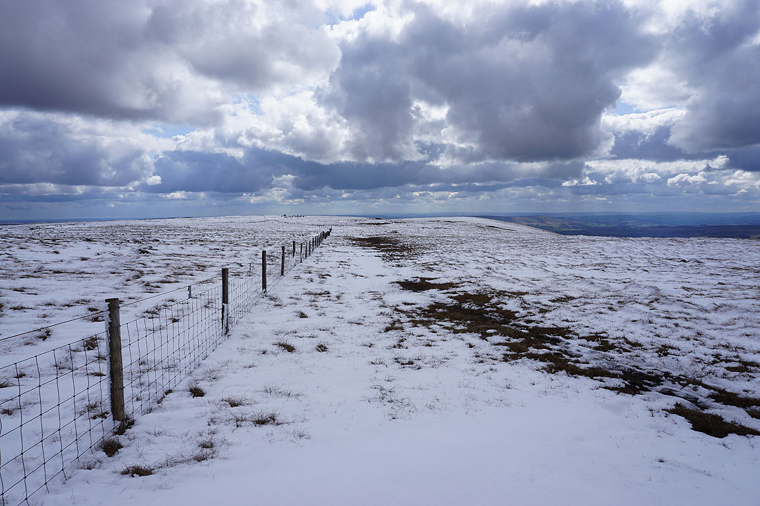
Heading for the trig point and summit of Great Whernside
Looking back to Blackfell Top
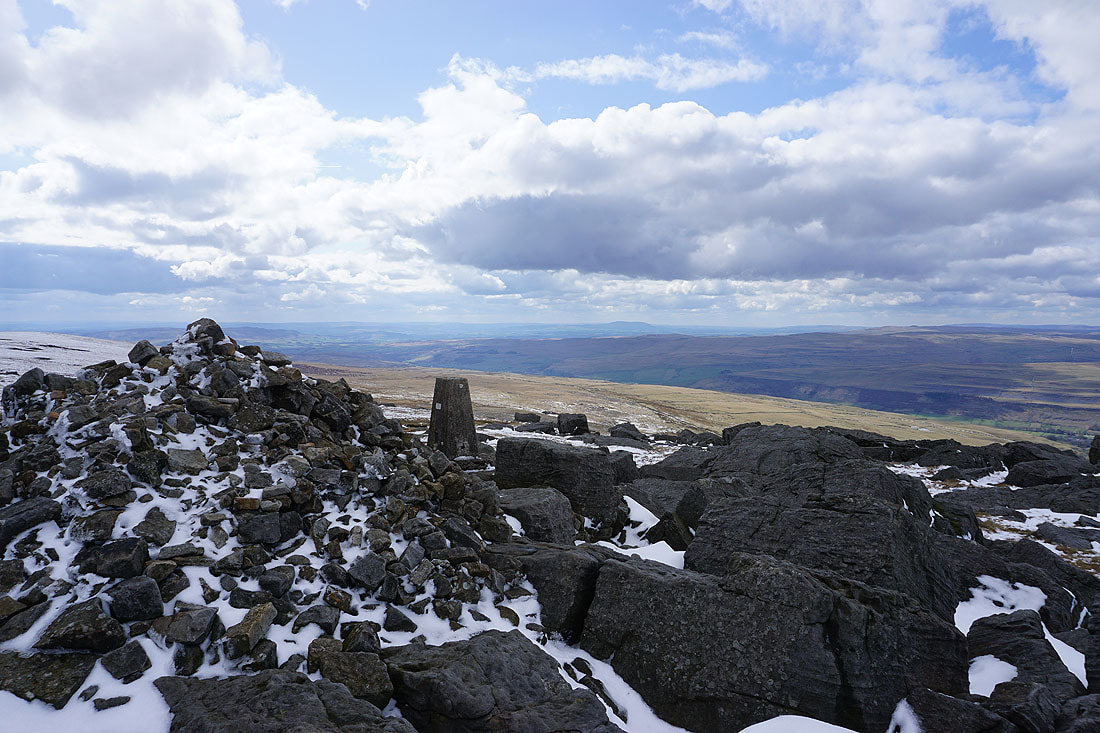
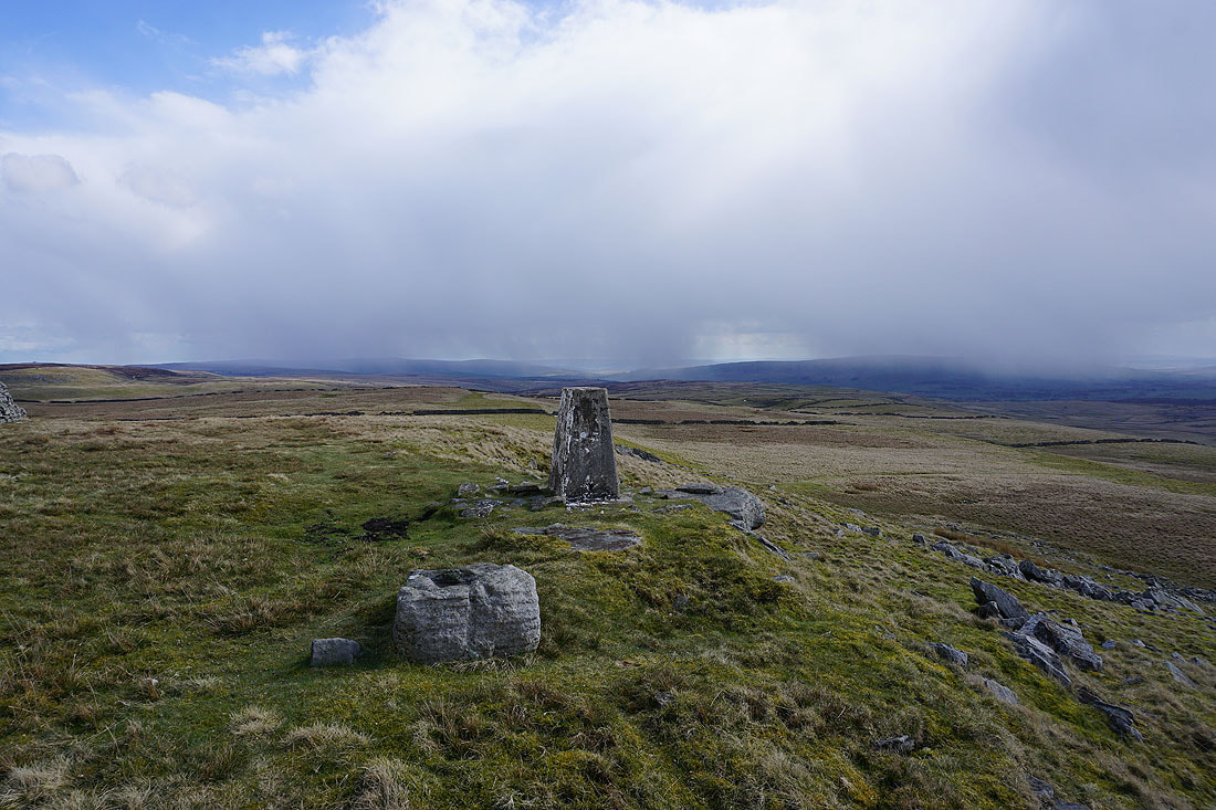
At the trig point on Great Whernside with Pendle Hill in the distance to the southwest
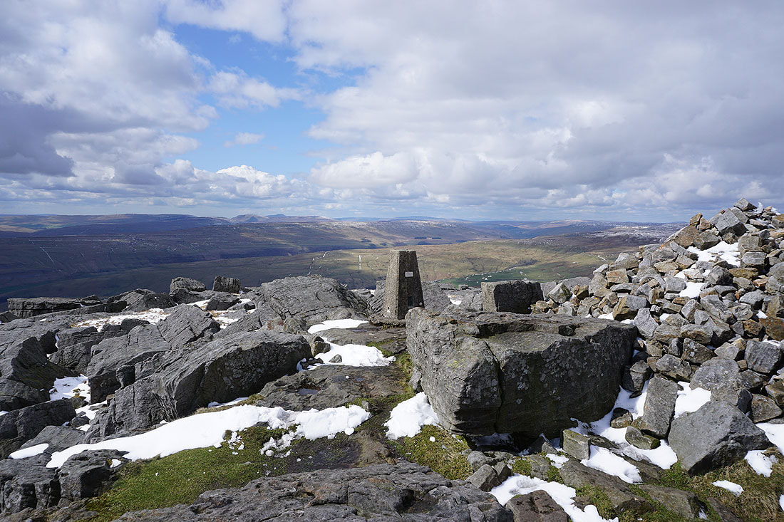
Looking west to Fountains Fell, Penyghent, Ingleborough, Plover Hill, Birks Fell and Whernside
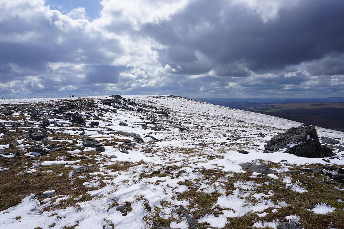
and north along the summit ridge to Blackfell Top
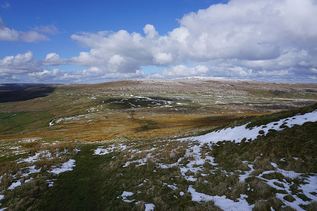
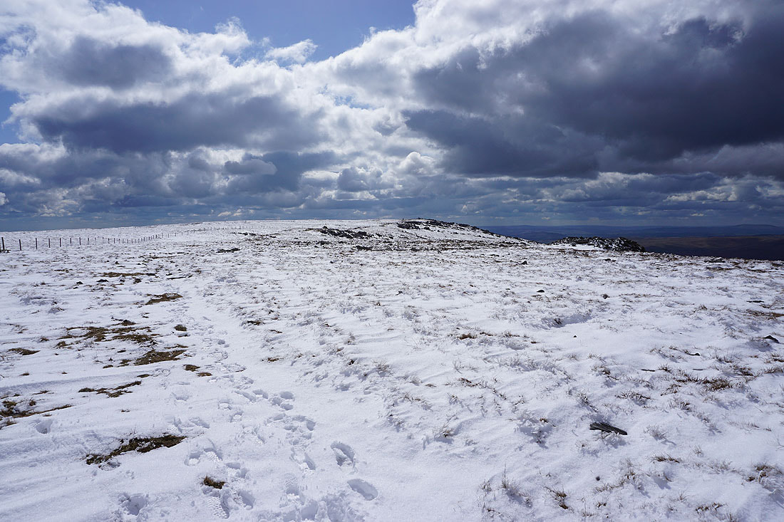
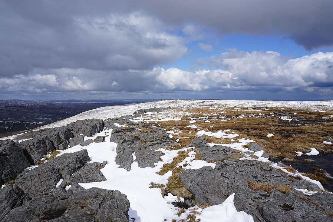
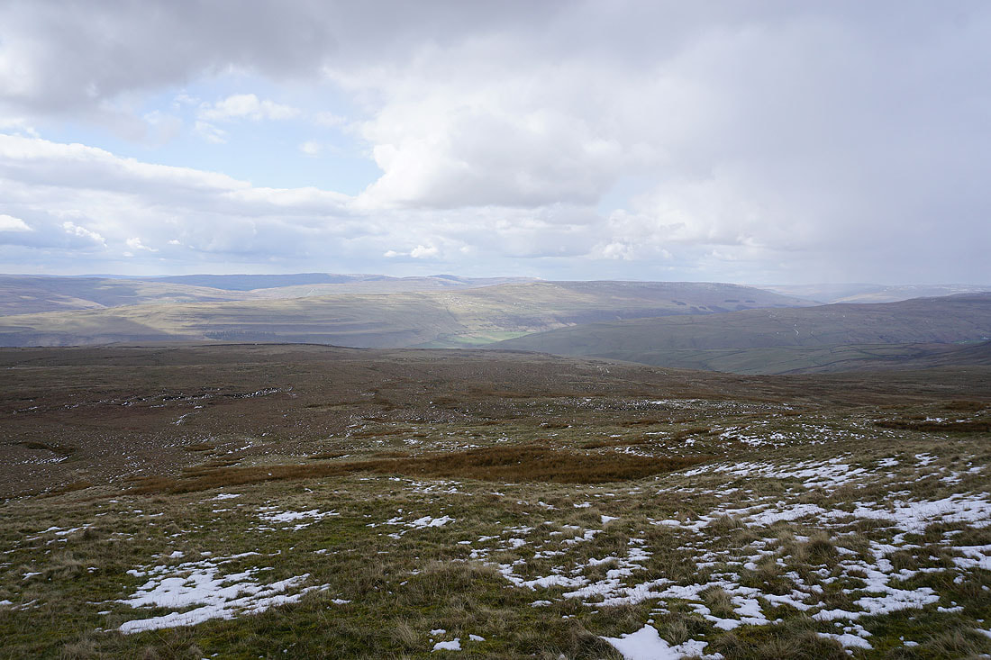
Views across the moors around upper Wharfedale and Littondale as I leave the summit behind and head for the south top..
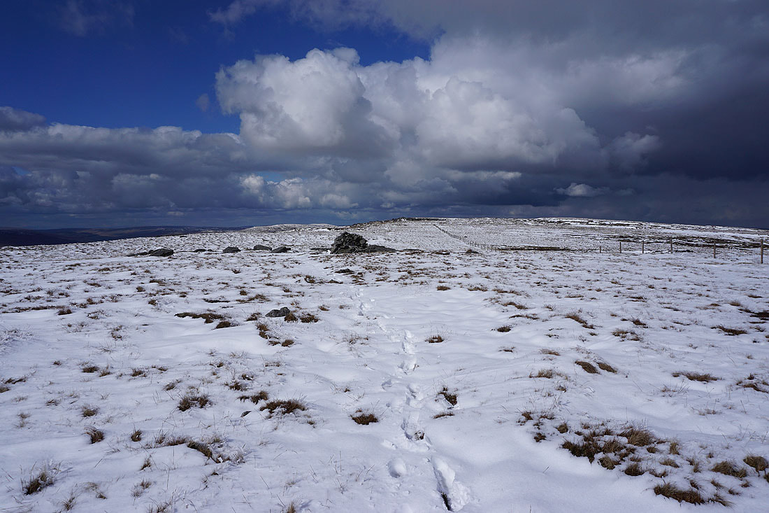
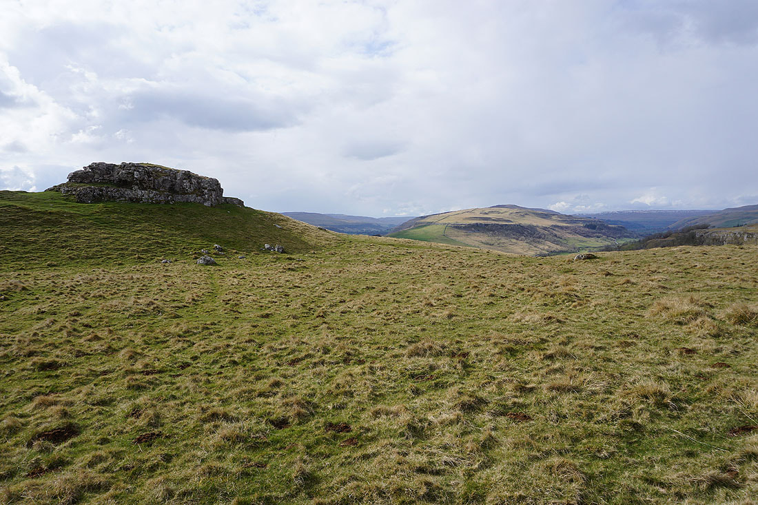
Heading for the south top
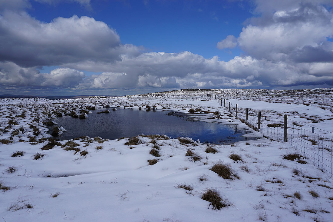
Past an icy cold moorland pool
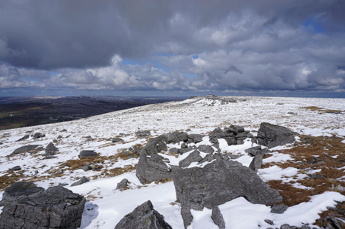
At the south top of Great Whernside
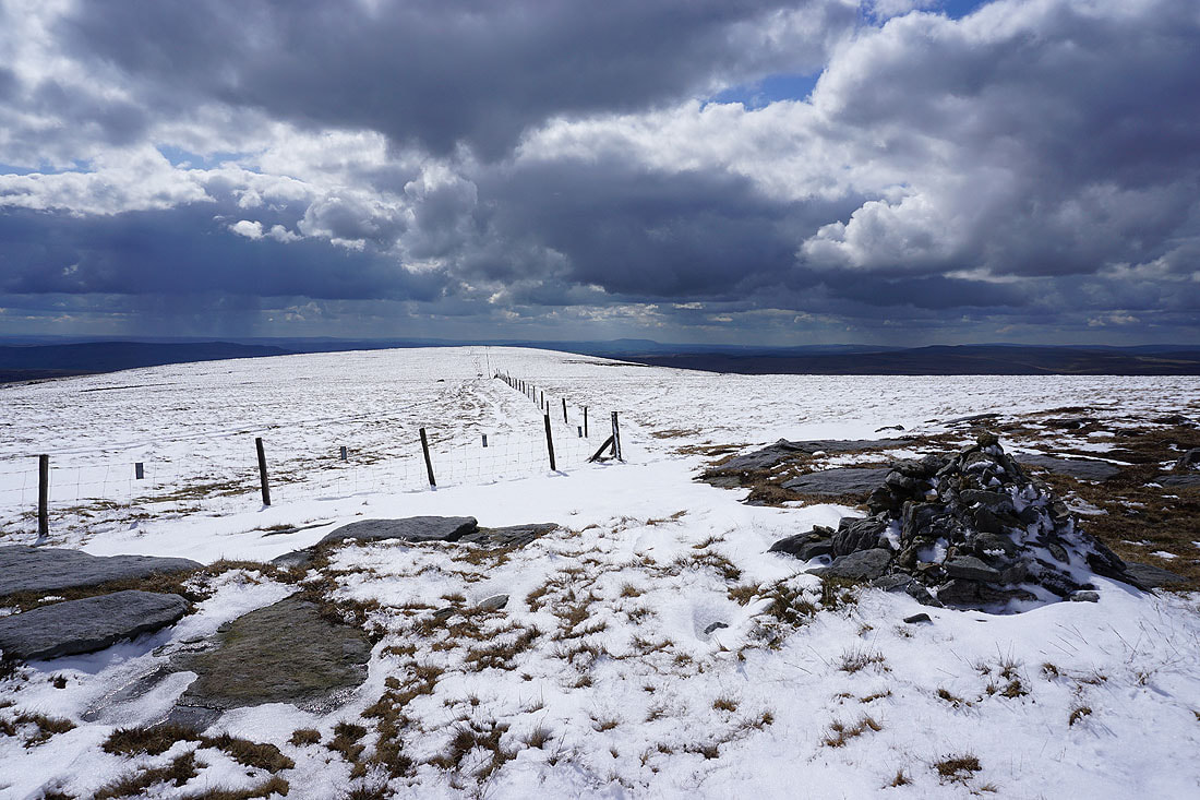
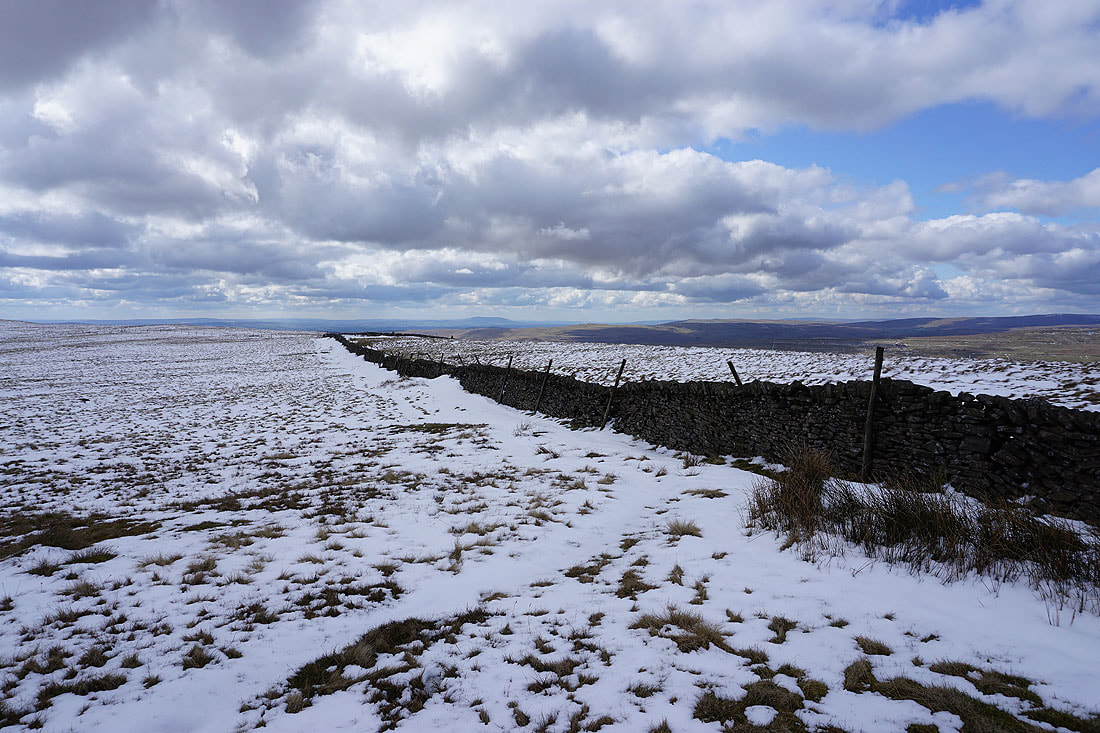
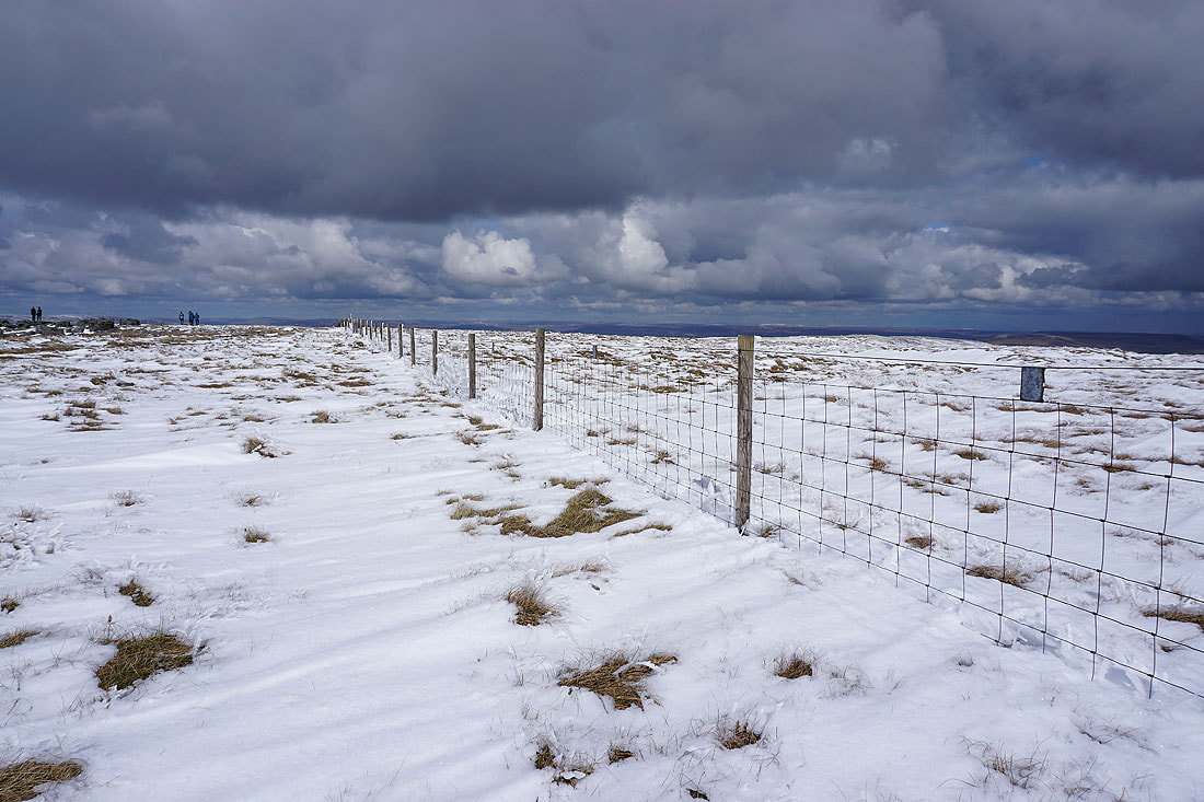
The fence that I'll follow to Sweet Hill, with Pendle Hill in the distance
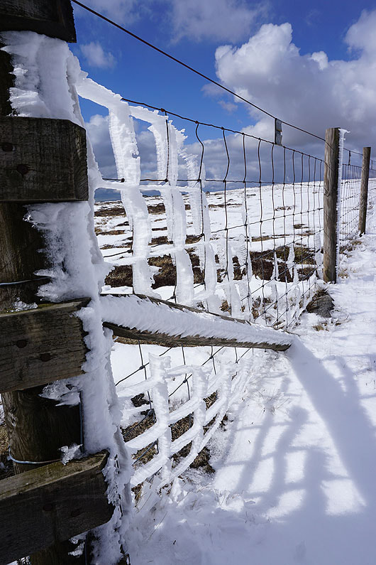
Rime ice on the fence at the south top
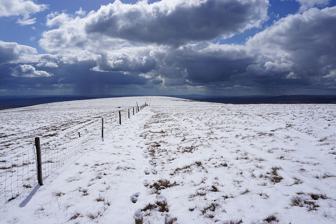
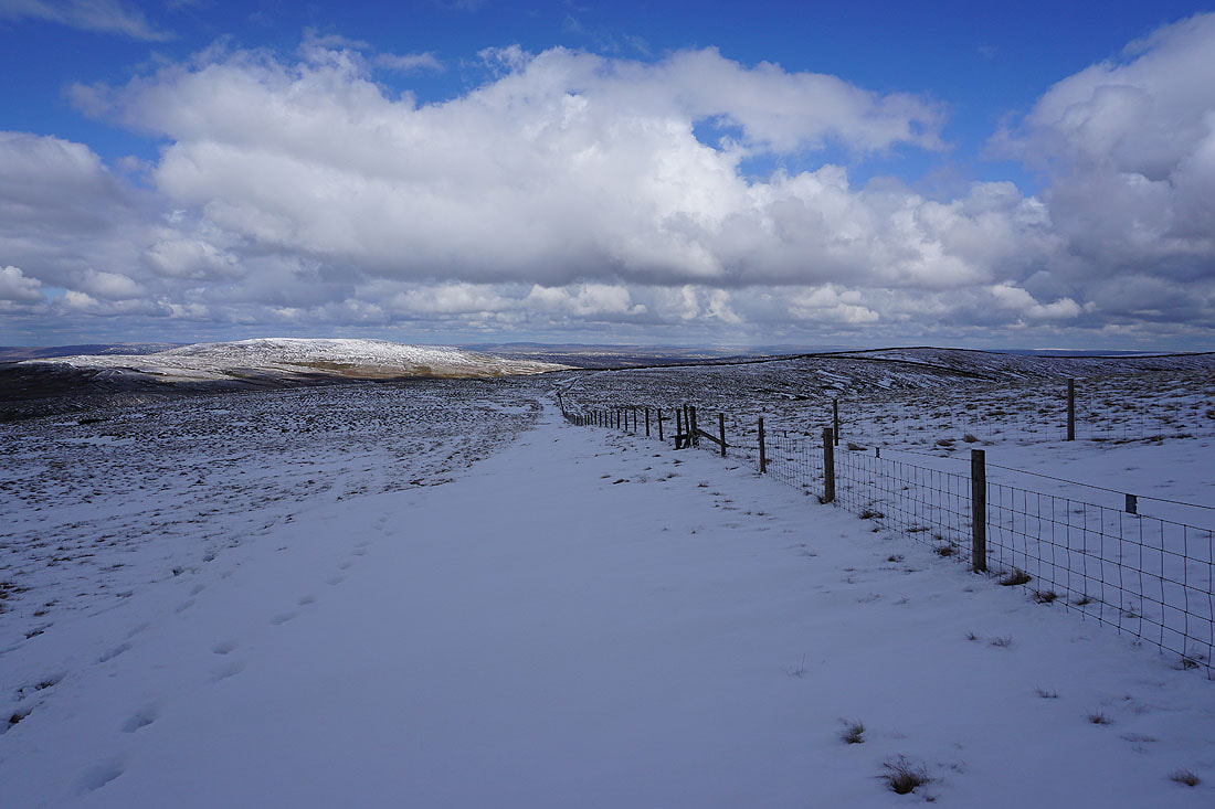
Following the fence to Sweet Hill
Looking back and it looks like a shower is on the way
Fountains Fell, Penyghent, Ingleborough, Plover Hill, Whernside, Birks Fell and Yockenthwaite Moor in the distance
From Sweet Hill I head down Whernside Pasture to Slatepit Rigg. There's still a light shower of ice pellets falling.
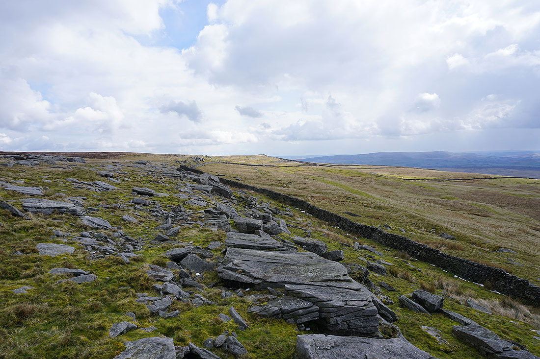
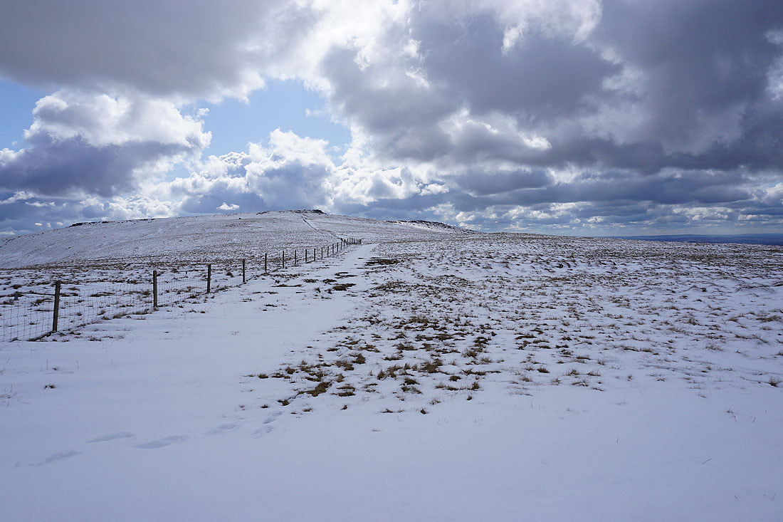
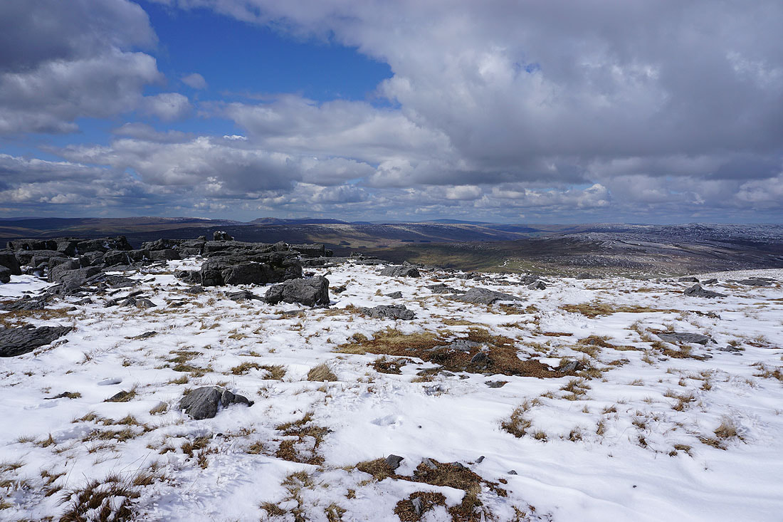
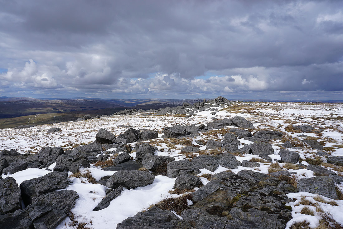
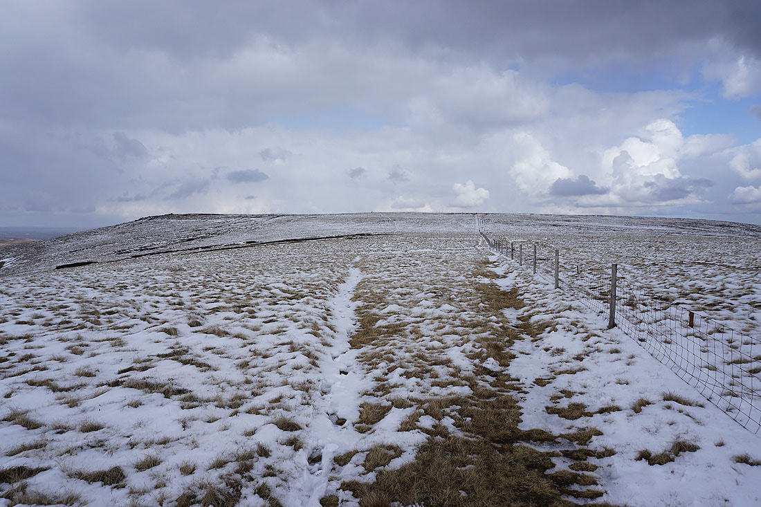
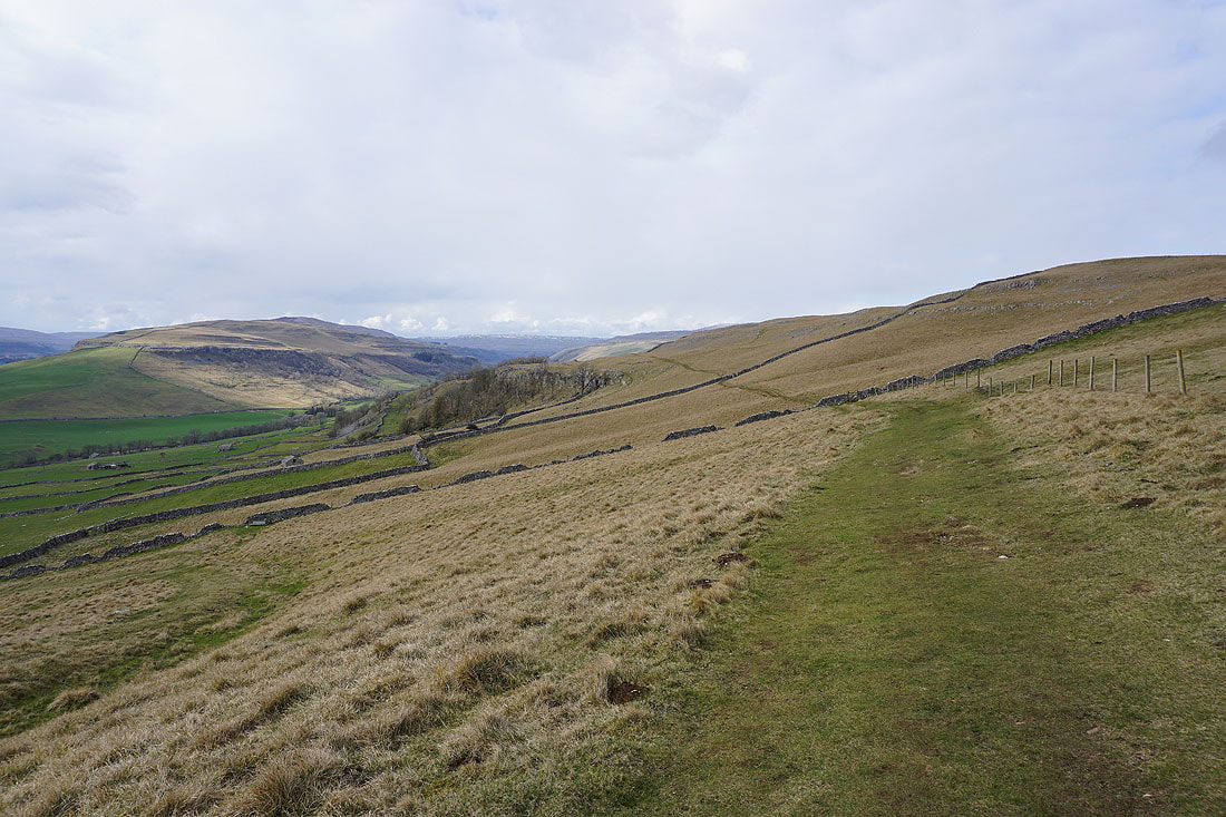
Following the path south along the moorland edge to Capplestone Gate
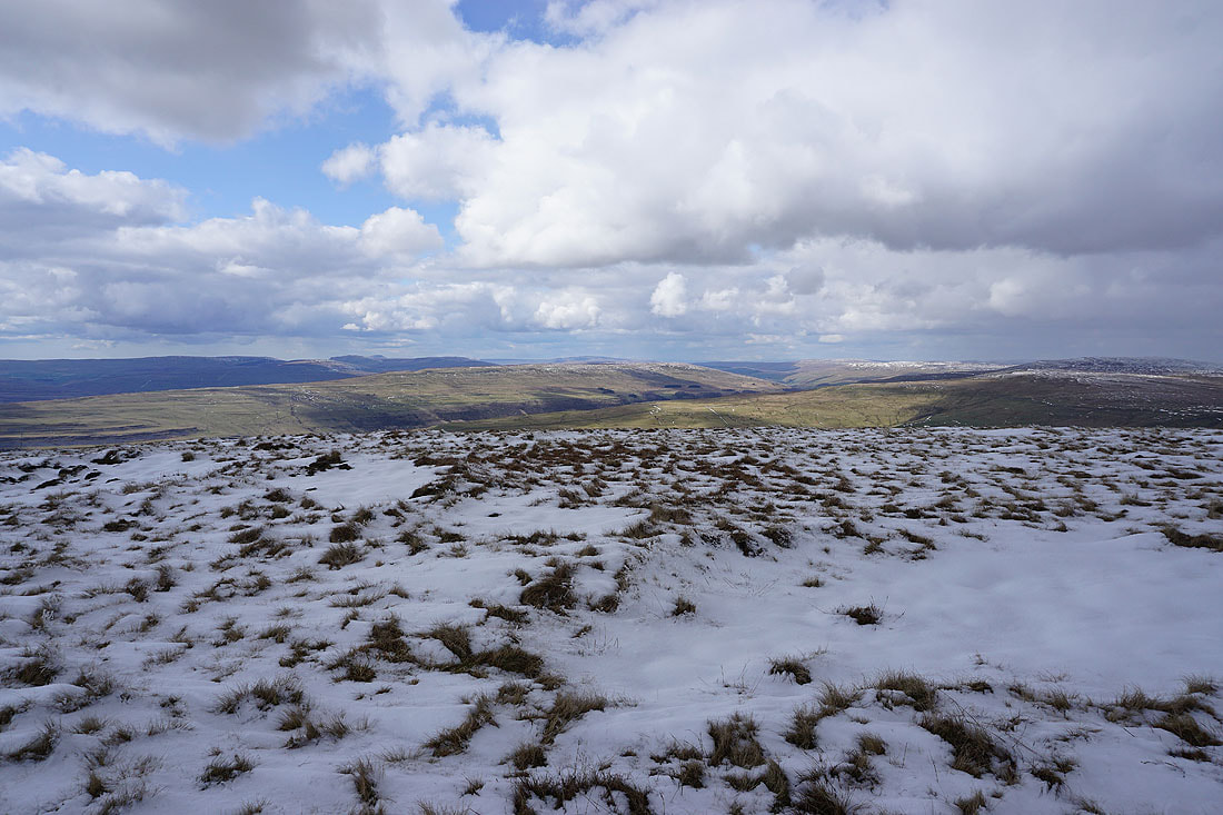
A view of the fells around Littondale and upper Wharfedale
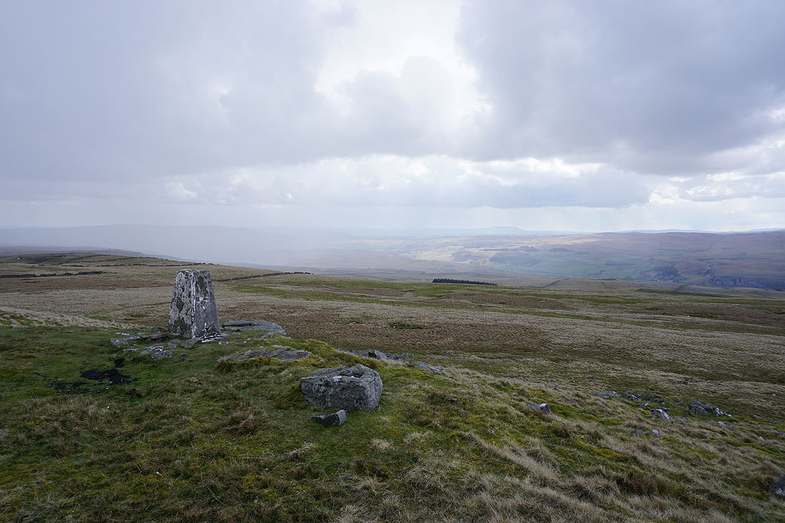
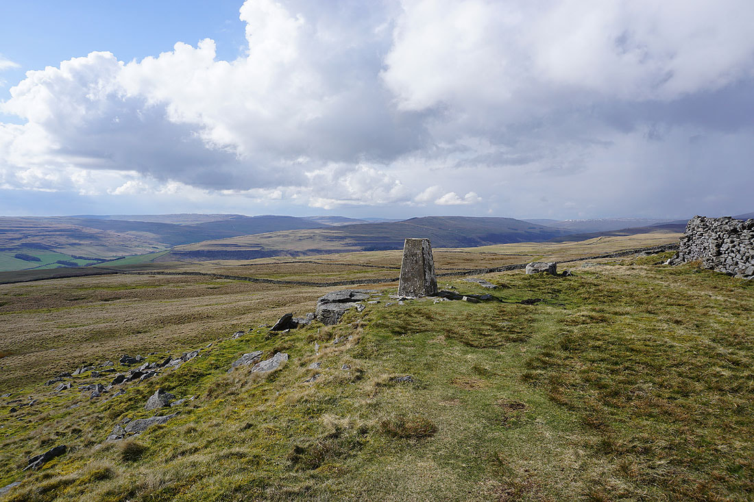
At the Capplestone Gate trig point
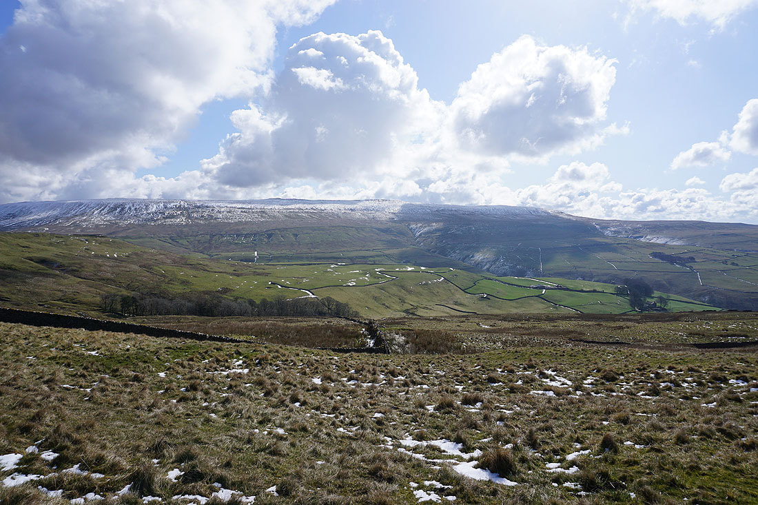
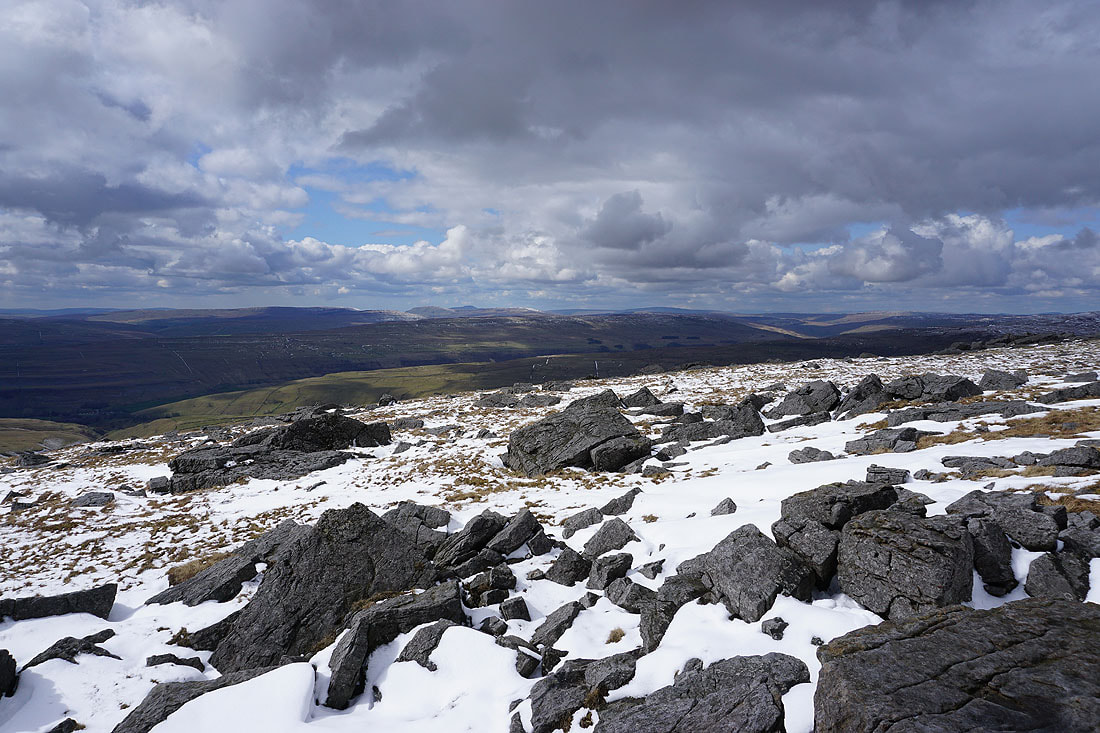
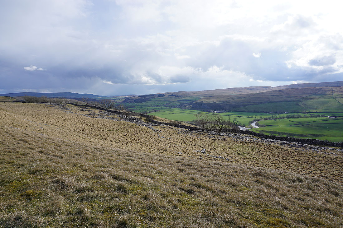
Looking south down Wharfedale to dramatic skies over Simon's Seat and Barden Moor
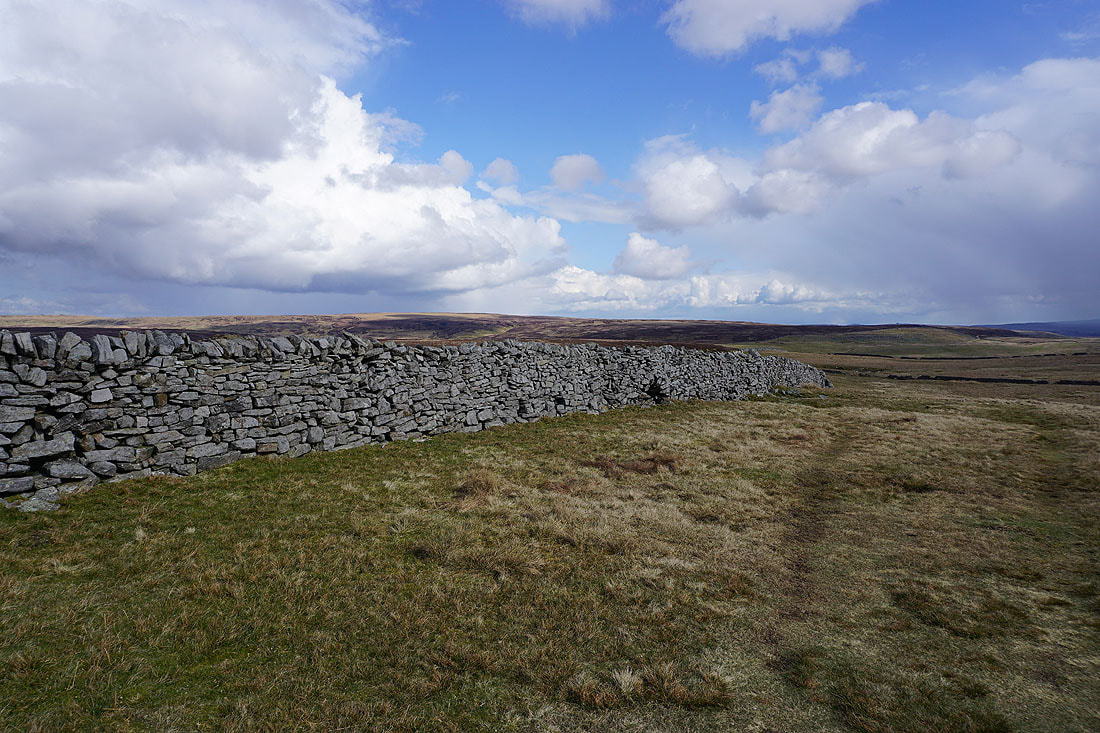
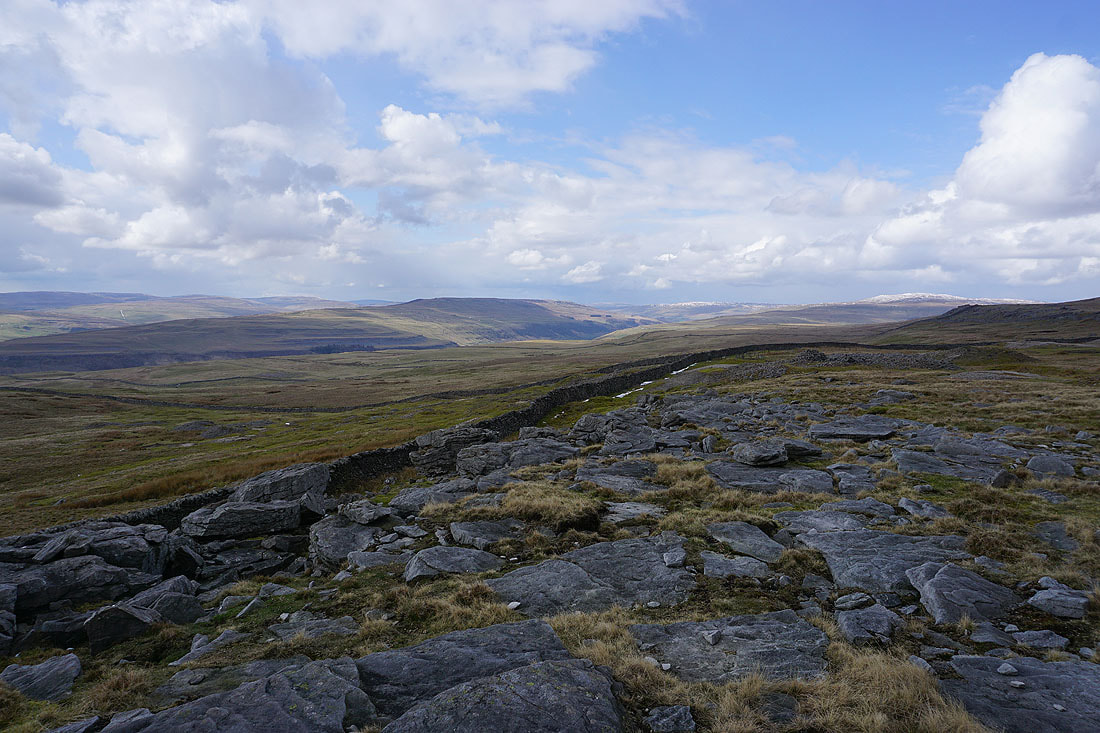
Over the wall, Conistone Moor and Black Edge, the moorland between Nidderdale and Wharfedale
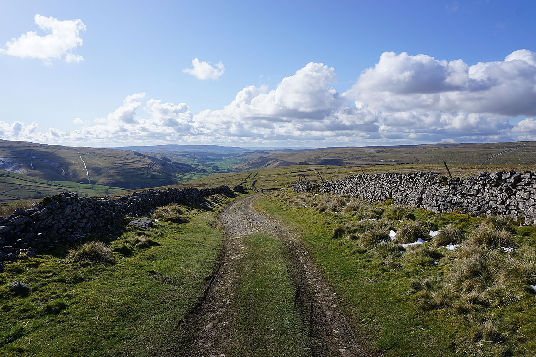
Finally, the fantastic view across Wharfedale and Littondale to Fountains Fell, Darnbrook Fell, Plover Hill, Old Cote Moor Top, and Yockenthwaite Moor
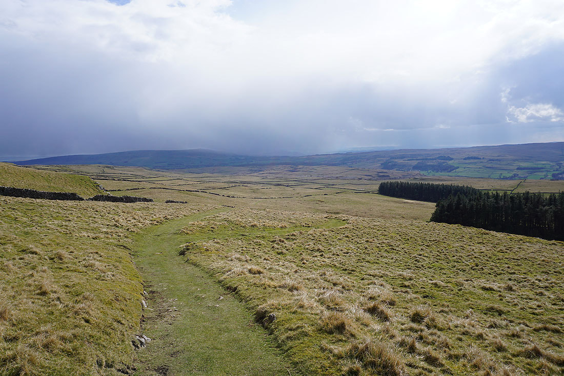
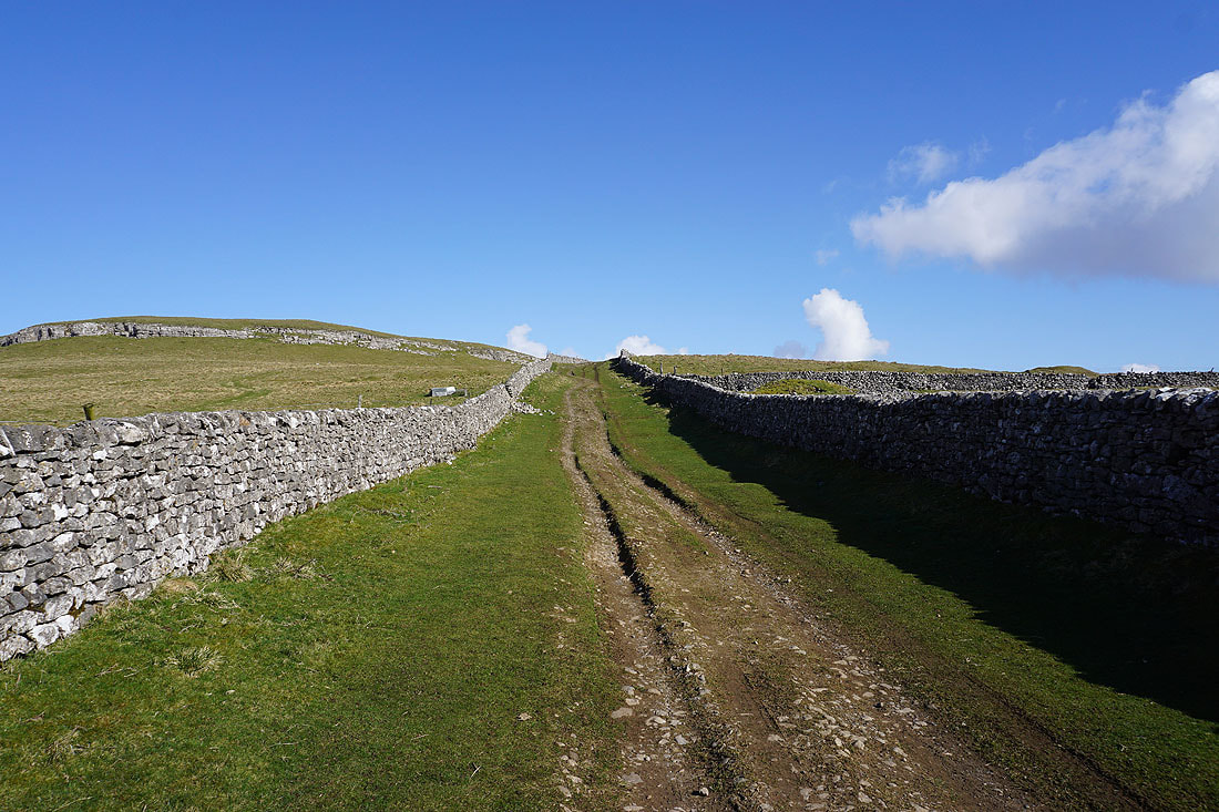
Following the Conistone Turf Road path..
..and the track of Bycliffe Road down to Wharfedale to join the Dales Way
Heading north on the Dales Way
Past the limestone knoll of Conistone Pie
Following the Dales Way towards Kettlewell..
Looking across Wharfedale to Kilnsey Crag
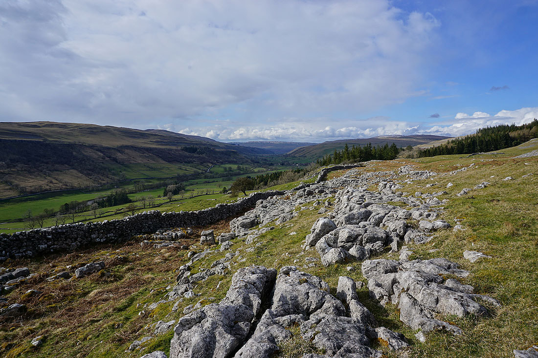
Some limestone pavement makes a great foreground for this view of upper Wharfedale
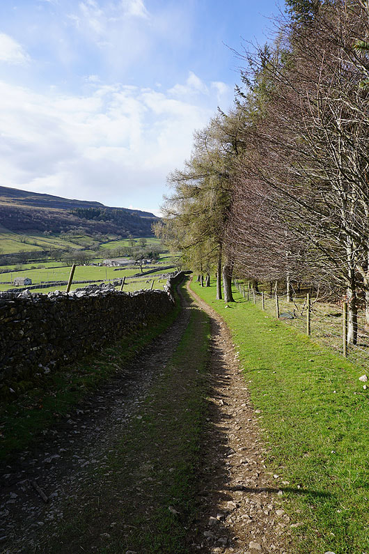
On the Dales Way down the track of Highgate Leys Lane
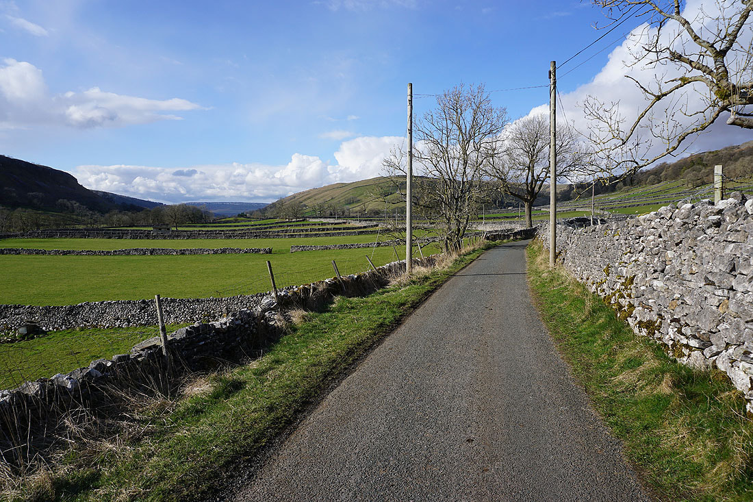
Walking along the Conistone to Kettlewell road
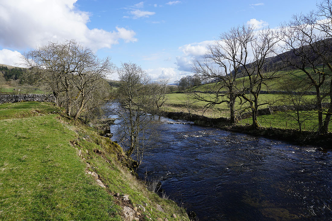
I leave the road for a path by the River Wharfe back to Kettlewell
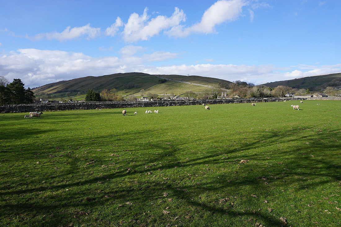
Kettlewell is in sight