2nd April 2023 - Rishworth Moor and Blackstone Edge
Walk Details
Distance walked: 15.6 miles
Total ascent: 2450 ft
OS map used: OL21 - South Pennines
Time taken: 7.5 hrs
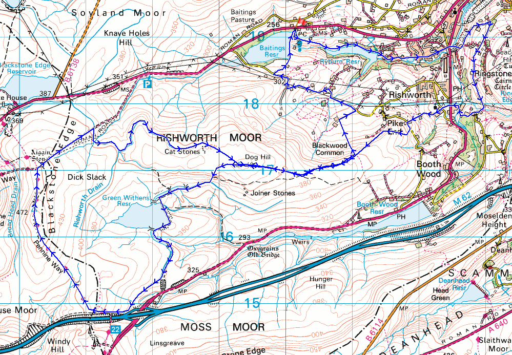
Route description: Baitings Reservoir-Ryburn Reservoir-Bar Lane-Slitheroe Bridge-Holme House Lane-Quakers Lane-Cliff Lane-Heys Lane-Rishworth Mill Lane-Oldham Road-Godly Lane-St. John's Church, Rishworth-Arkin Royd Farm-Pike End Road-Pike End-Dog Hill-Green Withens Reservoir-Pennine Way-Blackstone Edge-Pennine Way-Old Packhorse Road-Rishworth Moor-Dog Hill-Blackwood Common-Blackwood Farm-Long Causeway-Back o'th' Height-Upper Schole Carr Farm-Baitings Reservoir
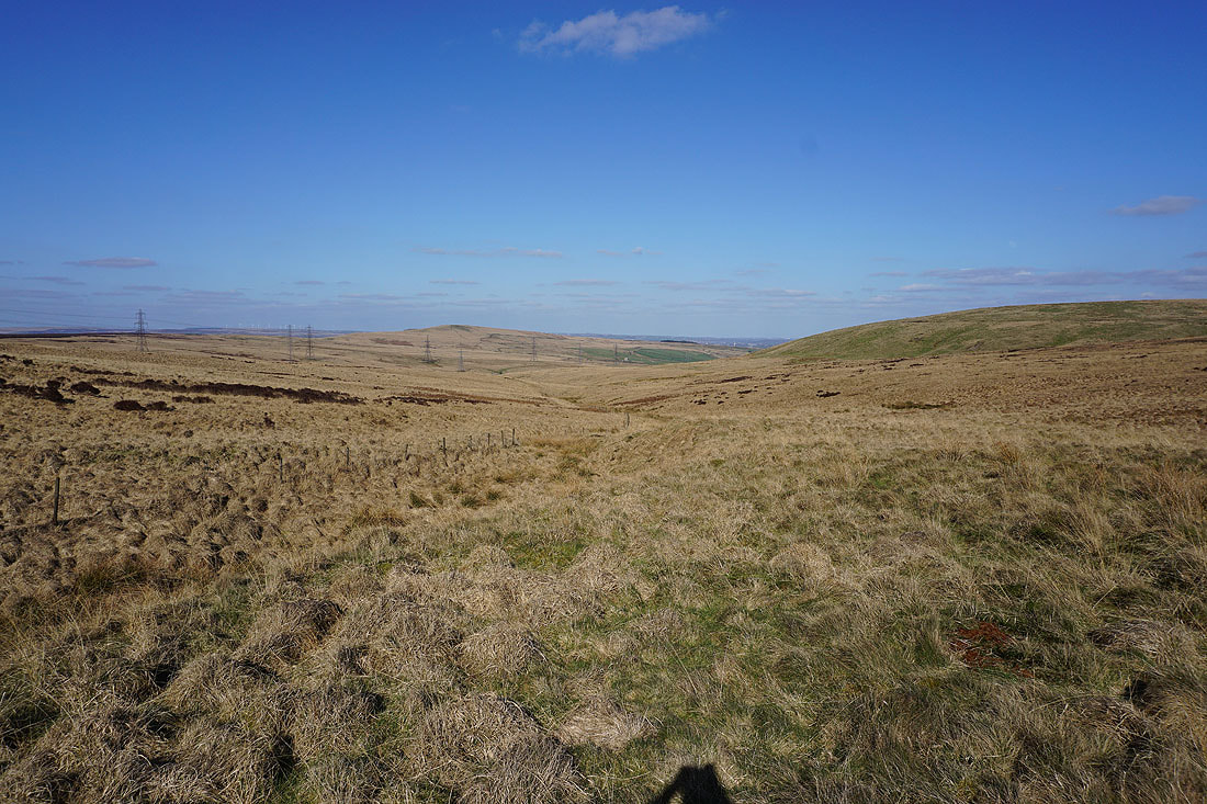
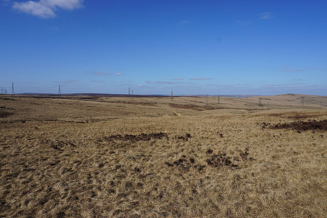
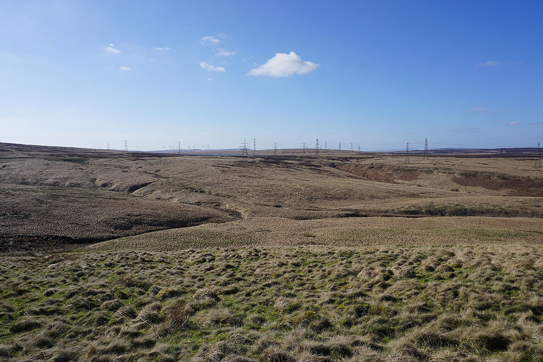
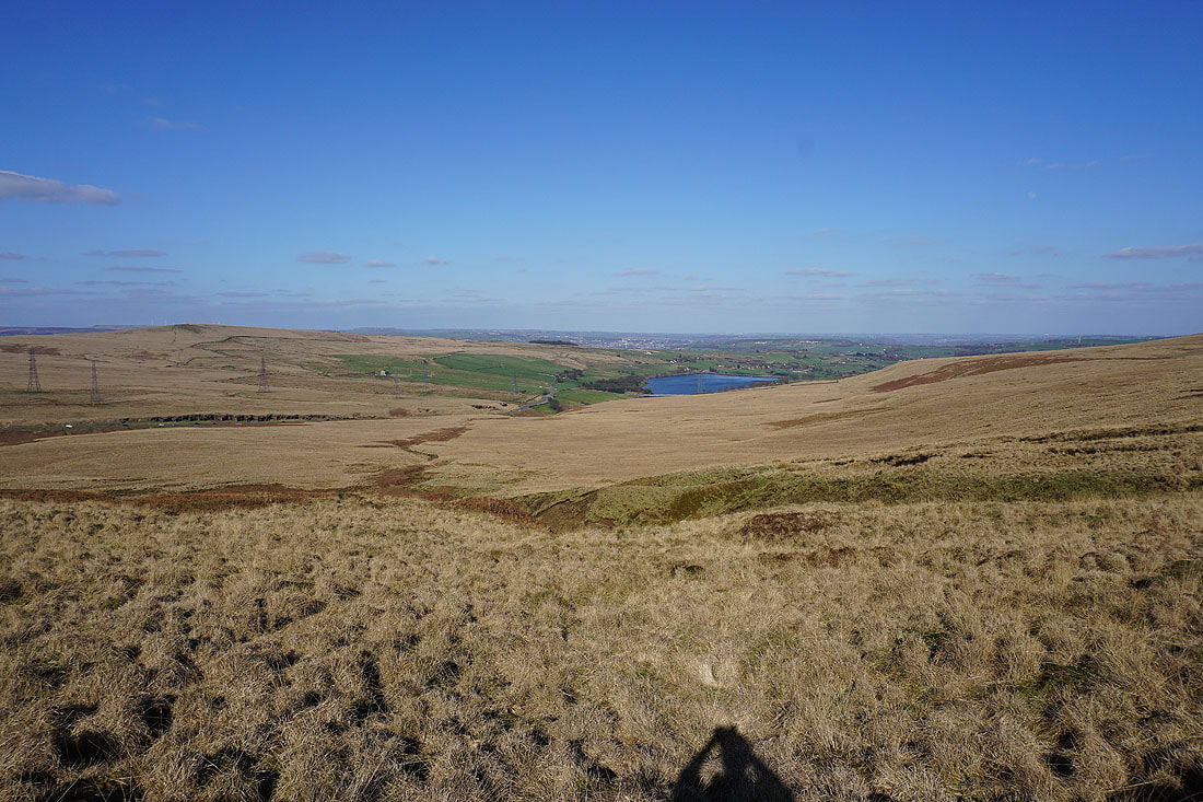
I'd had this route in the South Pennines in mind for a few weeks, but I was waiting for a day of guaranteed good weather for it. It's been a long ten years since my only previous walk on Rishworth Moor, and that was done on a cold and grey March day, but I have been to Blackstone Edge a couple of times in the intervening years and in good weather. The route I worked out started from Baitings Reservoir, which meant that I could walk the length of Rishworth Moor and take in Blackstone Edge in the same walk, and also some new territory in the form of Ryburn Reservoir, the countryside around Rishworth, and the eastern end of Rishworth Moor. Route finding was no problem except for when I was making my way across the northern slopes of Rishworth Moor intending to pick up a permissive footpath off the moor to the road of Back o'th' Height. For one reason or another I didn't find it and that resulted in extra mileage, taking in Dog Hill again and an alternative route back to Baitings Reservoir. After a cloudy start at Baitings Reservoir the cloud soon broke up to blue skies and sunny spells, a beautiful spring day.
From the car park by Baitings Reservoir I took the permissive footpath down to Ryburn Reservoir and by its northern shore to its dam, from where I took a footpath down to a track and bridleway, which I followed east to and along Bar Road to the A672 at Slitheroe Bridge. After crossing the A672 and Slitheroe Bridge to Holme House Lane I briefly walked down this lane and to the right to take a bridleway on the left, which I followed uphill to Height Green and Quakers Lane. At the top of Quakers Lane I turned right and walked along Cliff Lane to its end and then the bridleway of Heys Lane until I reached Rishworth Mill Lane, which I walked down to the A672. After crossing the A672 I took a footpath to the left up to Godly Lane, walked through the churchyard of St. John's Church, then up a footpath along a track to Arkin Royd Farm, through the farmyard to the right and up a footpath to Pike End Farm on Pike End Lane. I then had a brief walk south along Pike End Lane to a track on the right, which I took to reach access land on Pike End, where I stopped for lunch. After this break I made my way down the hillside and picked up the path of Blackwood Edge Road, which I followed west towards Rishworth Moor until I reached the top of the path, where I turned right and took a path up the moor to the trig point on Dog Hill. Once I'd taken in the view I made my way down from Dog Hill to the catchwater drain on the southern slopes of Rishworth Moor, crossed it, and then took the path by it and followed it to Green Withens Reservoir, then south and west to the Pennine Way above the M62, which I followed north to Blackstone Edge. After a stop for a break I resumed my journey north along the Pennine Way for a brief time before turning right at the Aiggin Stone to take the bridleway of the Old Packhorse Road east towards Rag Sapling Clough. When the bridleway met a catchwater drain I took the path by it and followed it east across the northern slopes of Rishworth Moor, before leaving it for a path up to the trig point on Dog Hill. From the trig point I made my way east to pick up the path of Blackwood Edge Road, which I followed east across Blackwood Common to take the public footpath north down to Blackwood Farm. A walk along the farm's access track brought me to the road of the Long Causeway, which I walked west along up to Mires Farm, then up the road of Back o'th' Height, and down to the second track on the right. A footpath down this track took me past Upper Schole Carr Farm and across the dam of Baitings Reservoir back to the car park.
Route map
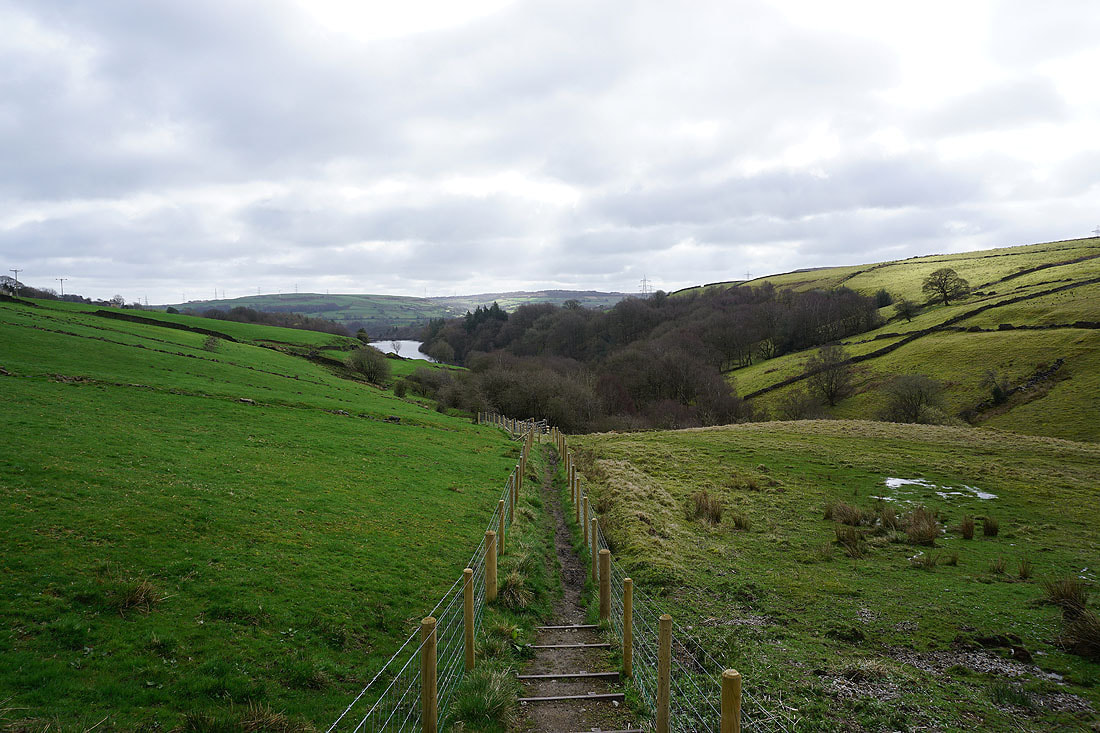
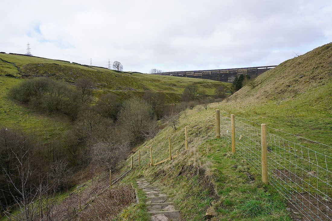
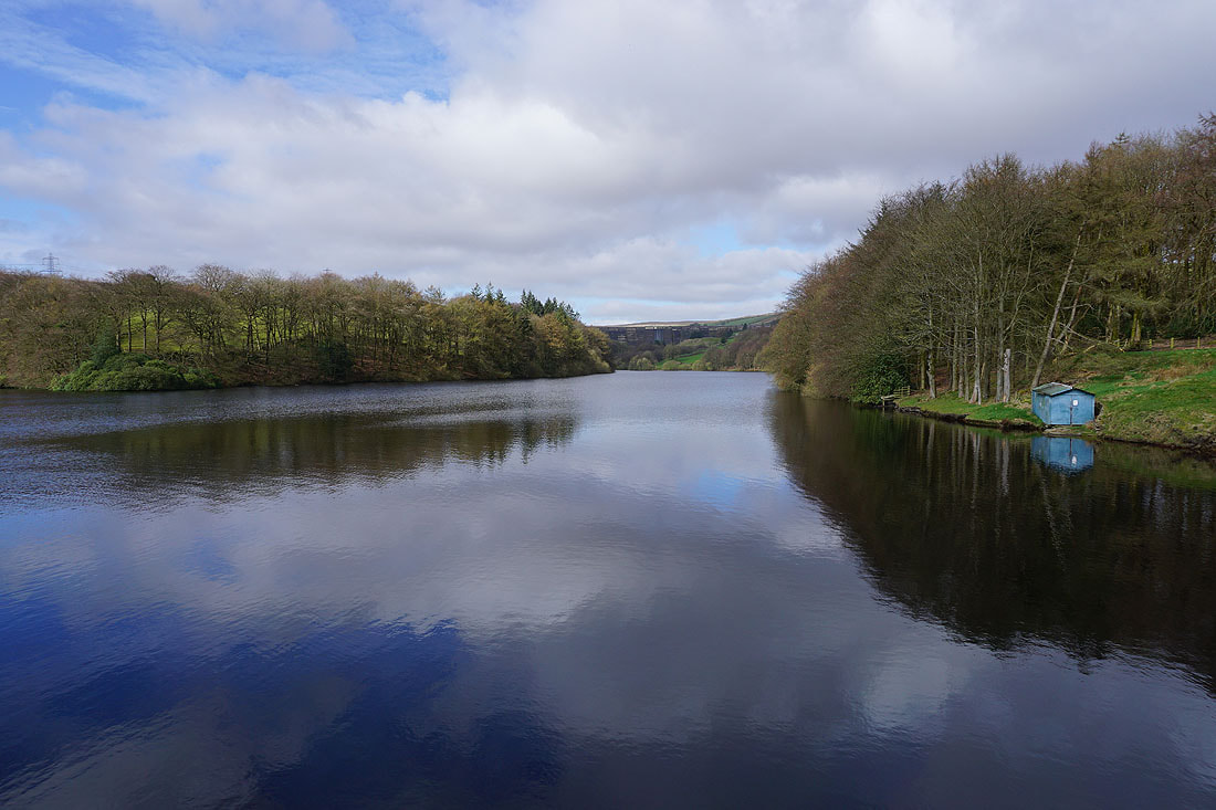
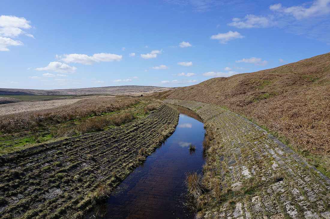
From the car park at Baitings Reservoir I take a permissive footpath down to the River Ryburn..
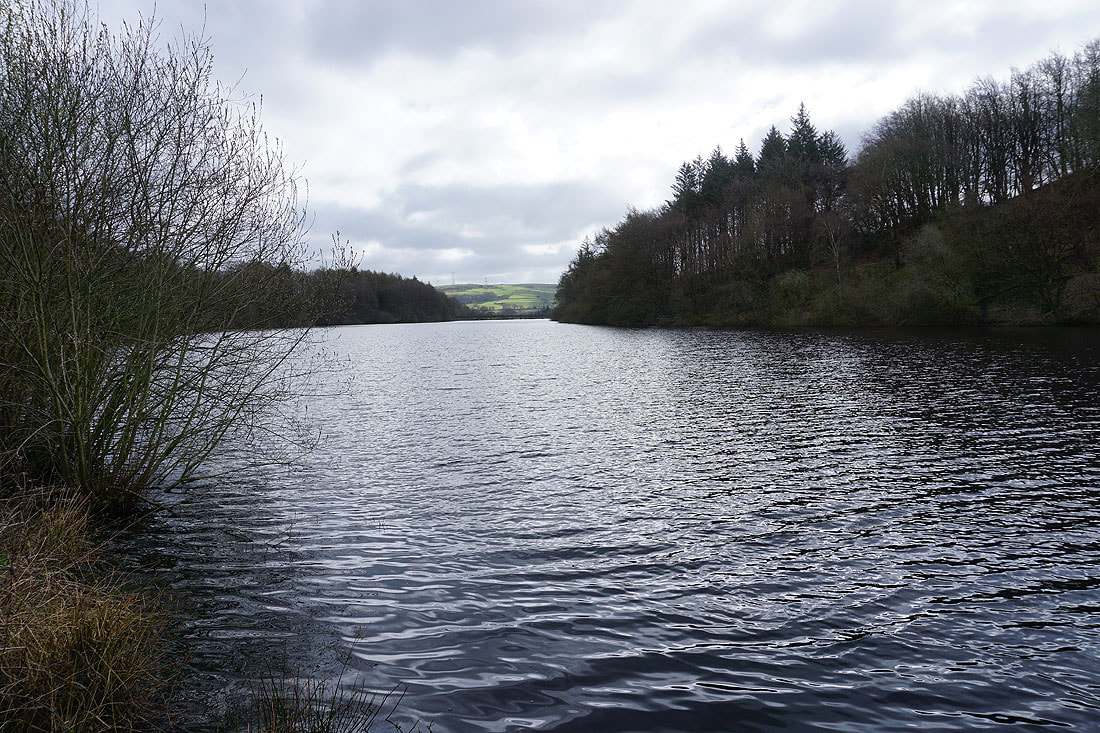
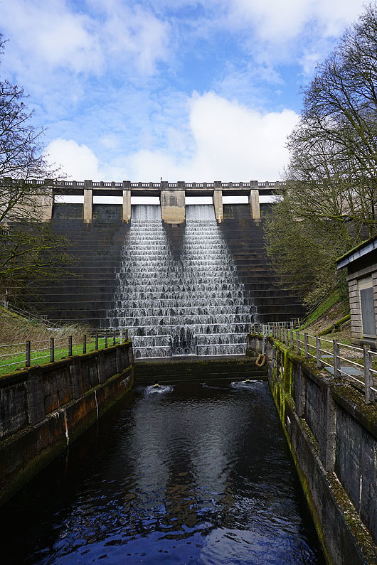
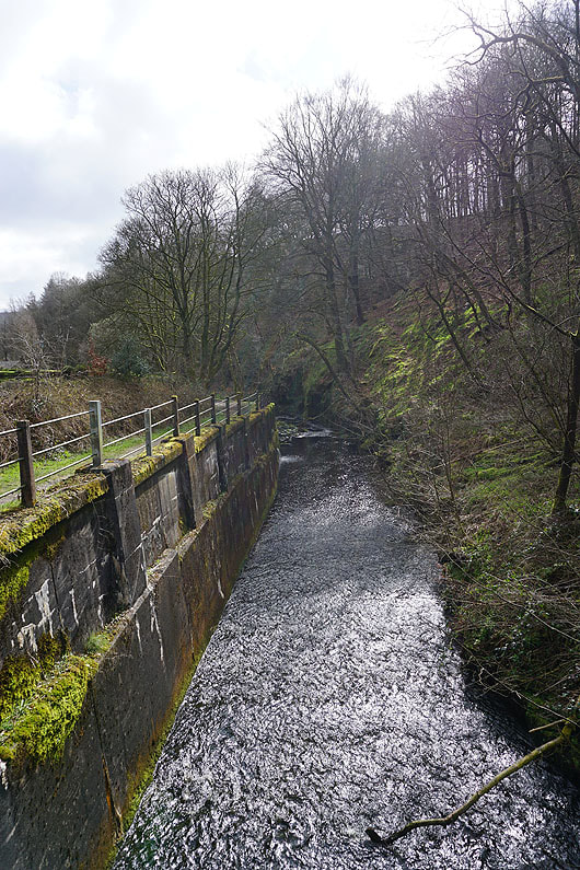
By Ryburn Reservoir..
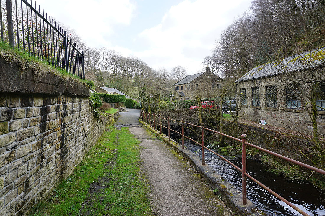
Walking along the bridleway along Bar Lane to Slitheroe Bridge
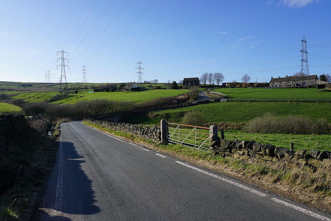
After crossing the A672 I take a bridleway from Holme House Lane up to Quakers Lane and Cliff Lane
Looking down the bridleway to Ripponden from Quakers Lane
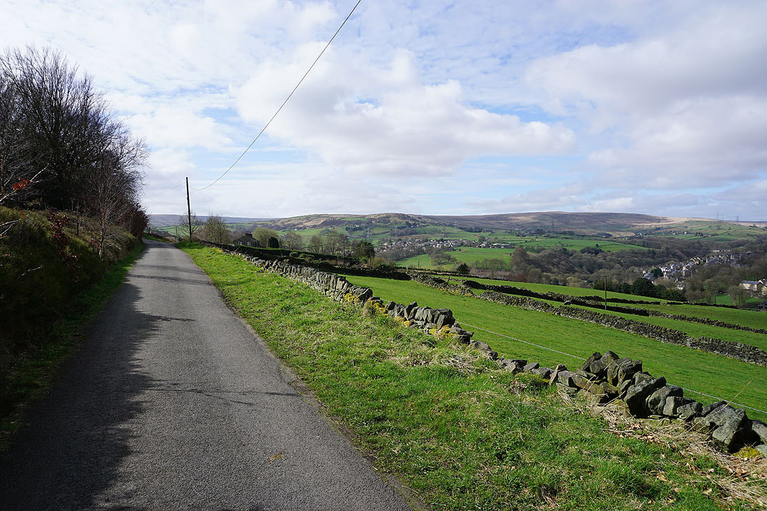
Walking south along Cliff Lane
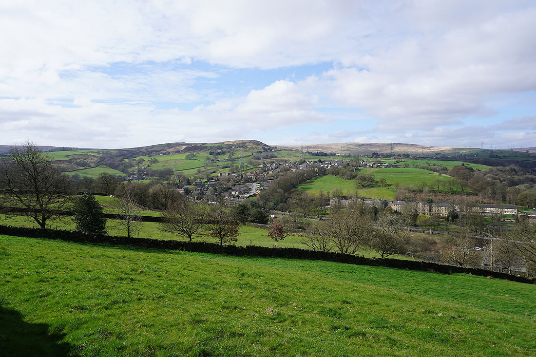
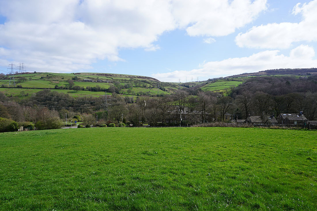
To my right, the village of Rishworth on the other side of Booth Dean Clough
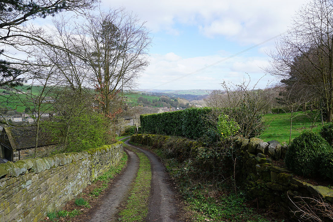
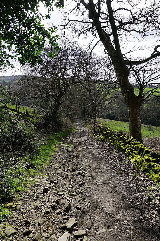
On the byway of Heys Lane down to Rishworth..
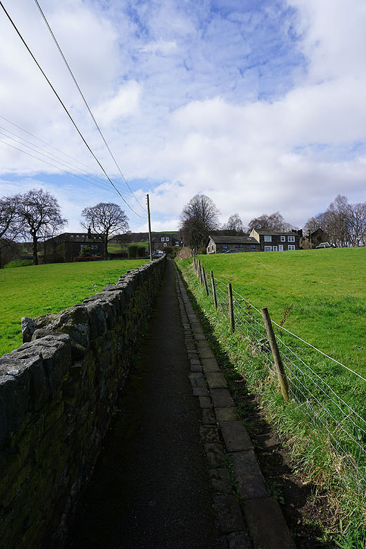
After crossing the A672 I take a footpath up to Godly Lane
Looking back across Booth Dean Clough to Ringstone Edge Moor
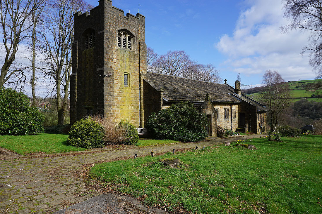
The church of St. John's in Rishworth
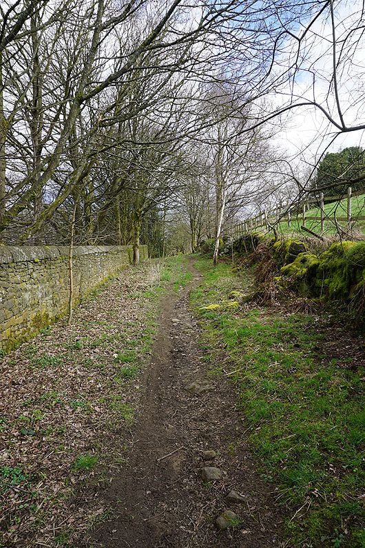
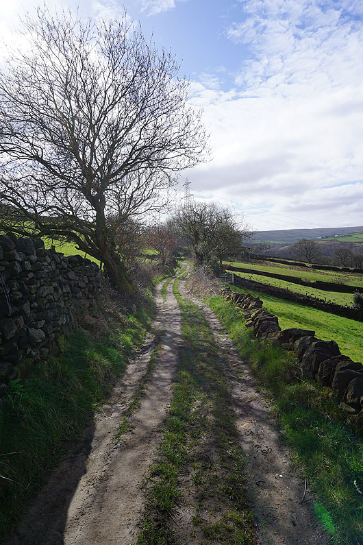
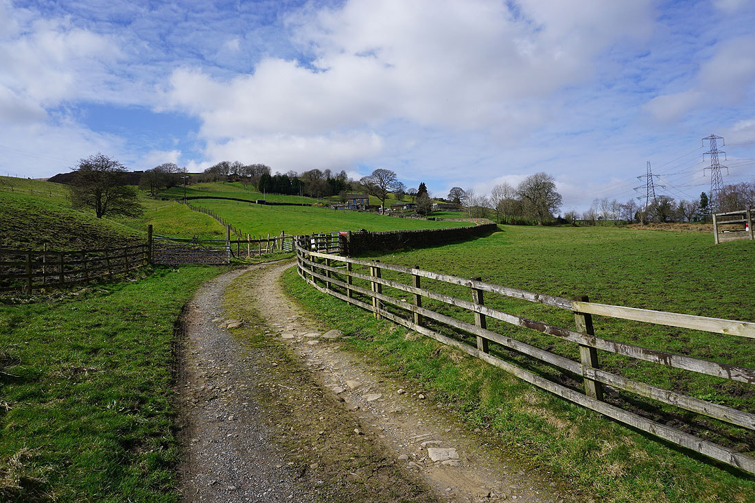
Heading up the bridleway to Arkin Royd Farm and Pike End Road
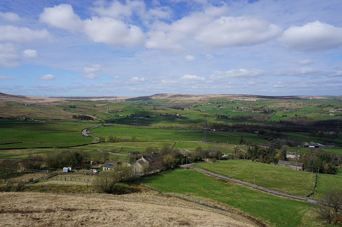
On Pike End. After a break for lunch, it's time to take in the view. Looking east to Ringstone Edge Moor.
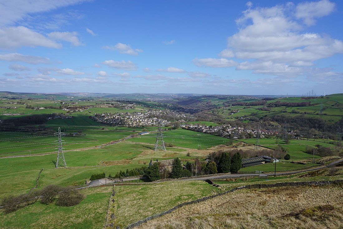
Ripponden and Rishworth below, and the valley of the River Ryburn heads north to join Calderdale at Sowerby Bridge
Great Manshead Hill to the northwest
From Pike End I head down to pick up the path of Blackwood Edge Road..
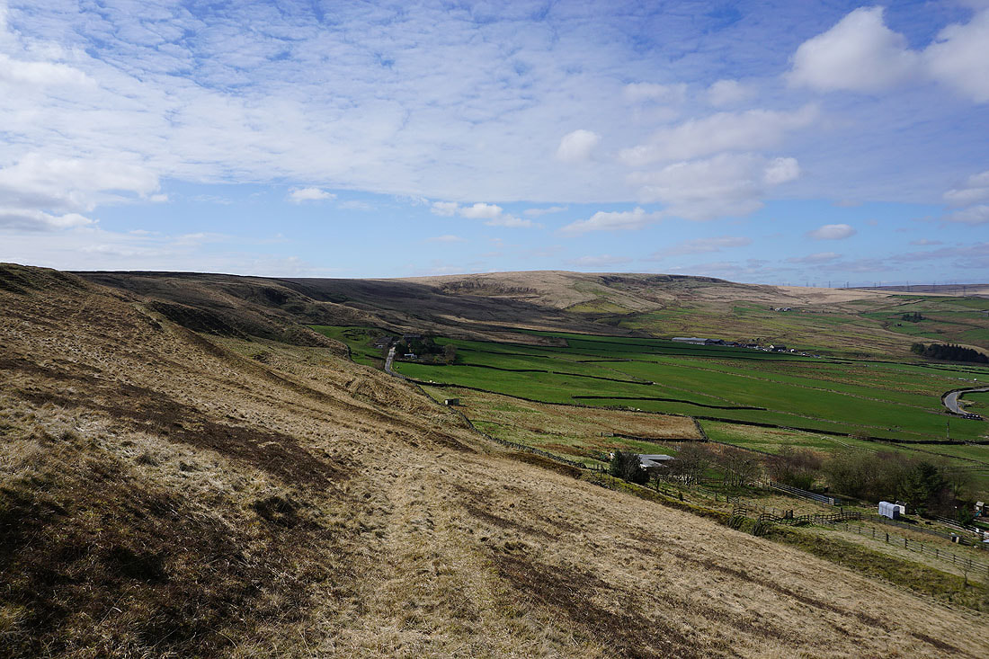
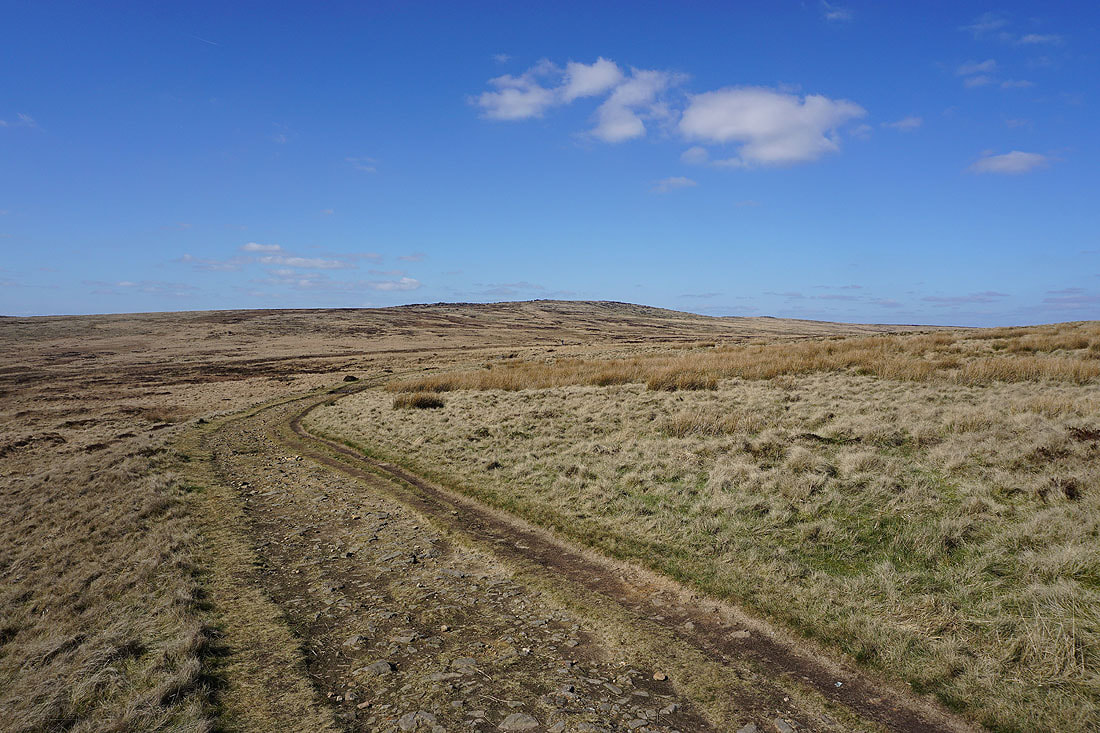
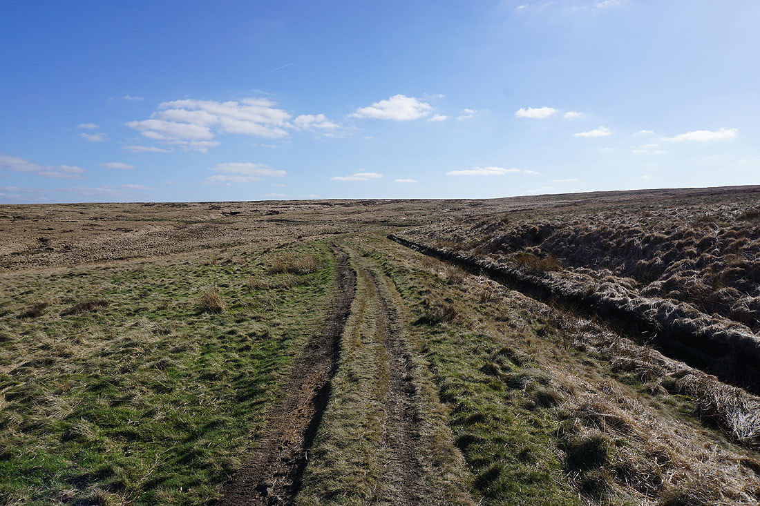
..which I follow up onto Rishworth Moor
Looking back across Blackwood Common to Pike End
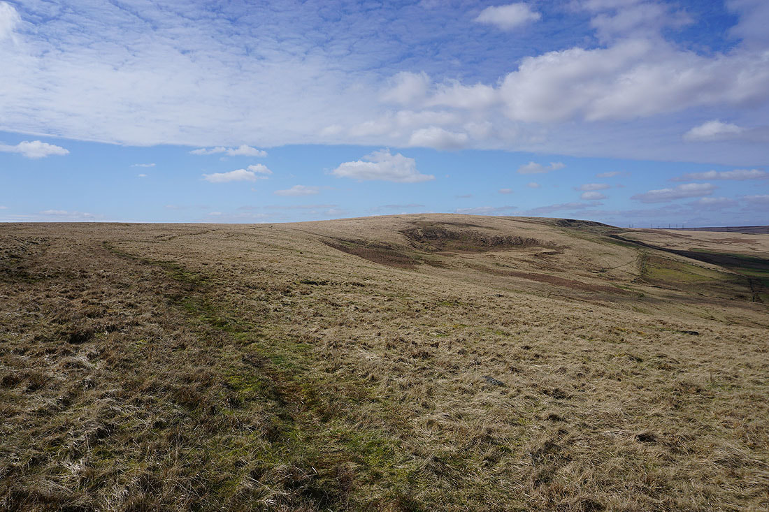
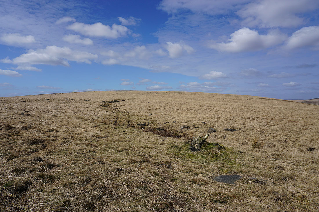
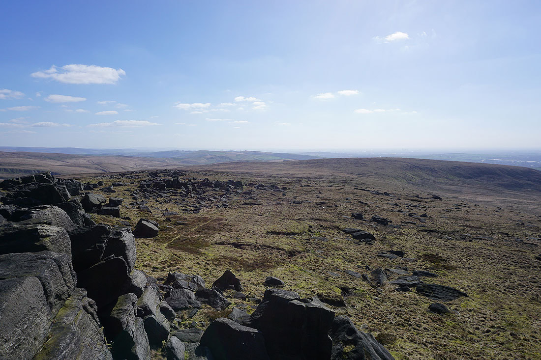
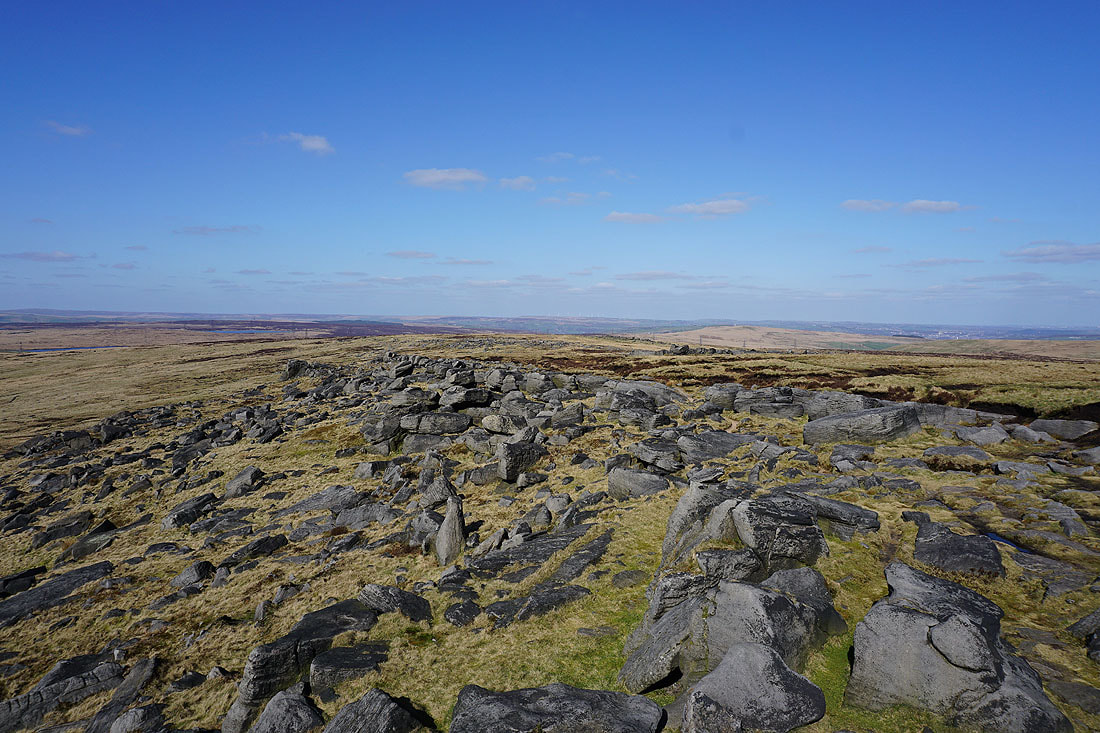
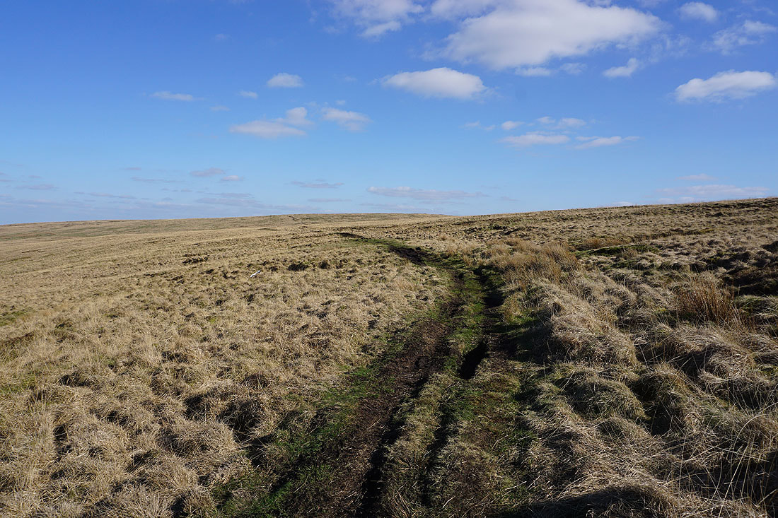
Blue skies over Rishworth Moor
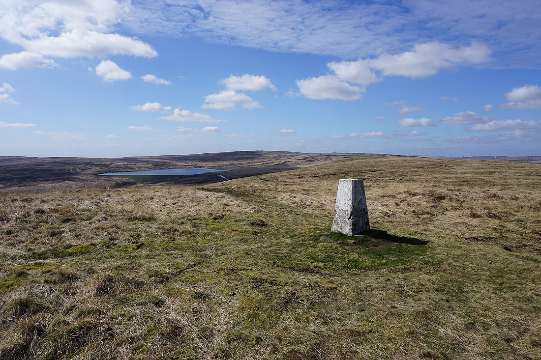
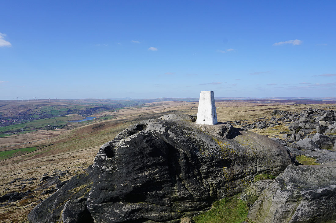
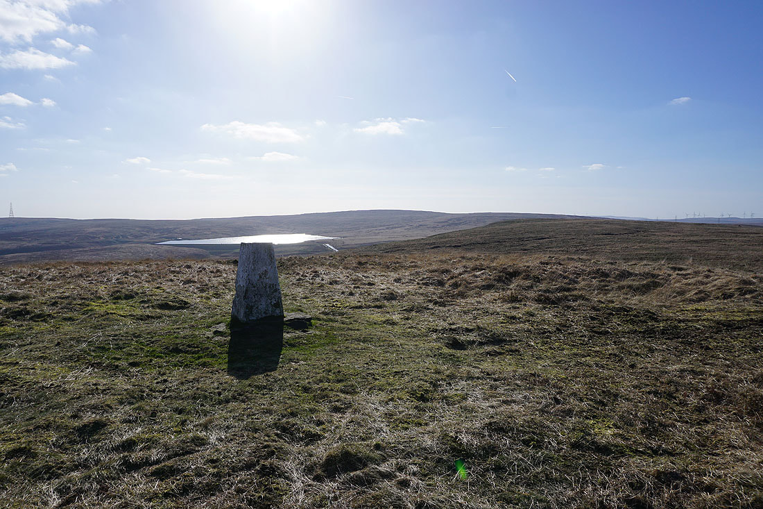
At the trig point on Dog Hill. Looking west to Green Withens Reservoir and Blackstone Edge.
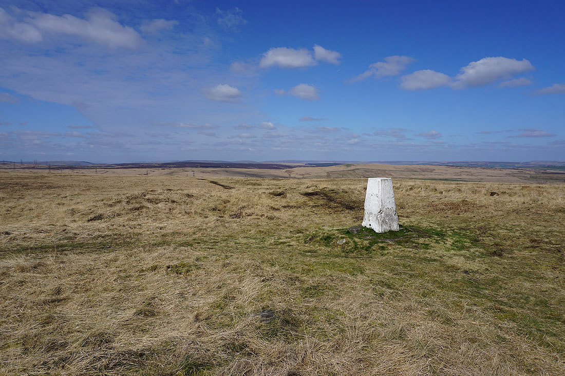
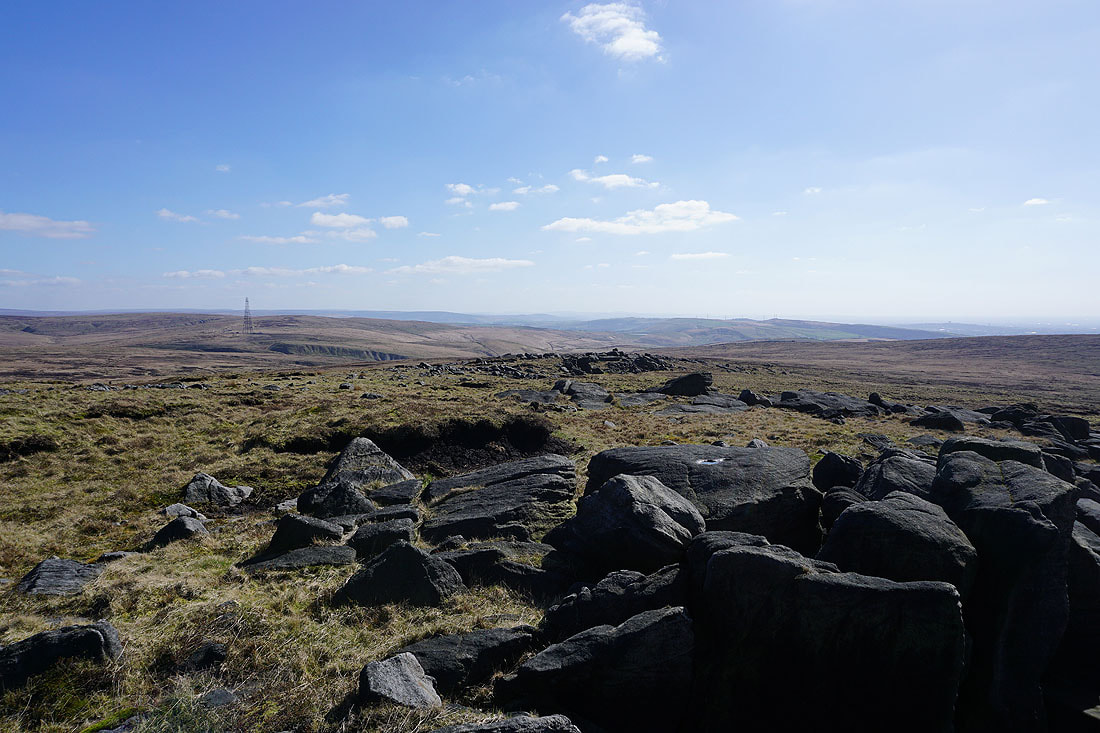
Soyland Moor, Great Manshead Hill, and the moors of Calderdale to the north
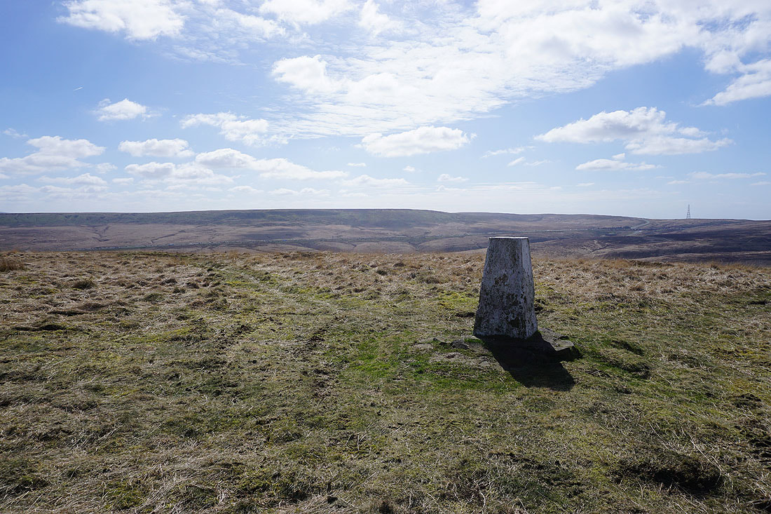
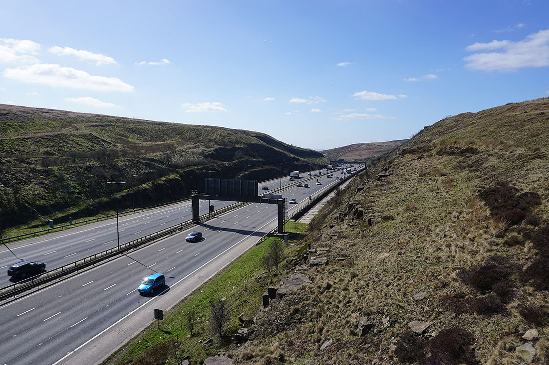
Way Stone Edge to the south on the other side of the M62
From the trig point I've made my way down to and across the catchwater drain along the southern slopes of Rishworth Moor
By Green Withens Reservoir
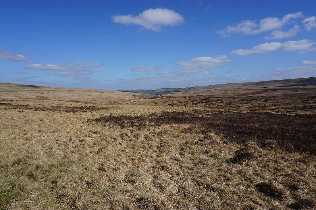
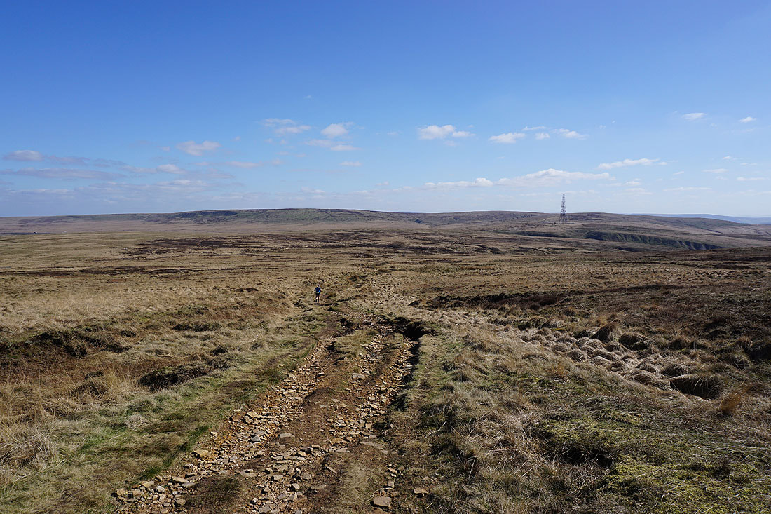
Looking down Wolden Edge Clough from the path to the Pennine Way
Before joining the Pennine Way, looking across the M62 to Way Stone Edge
and west to Lancashire
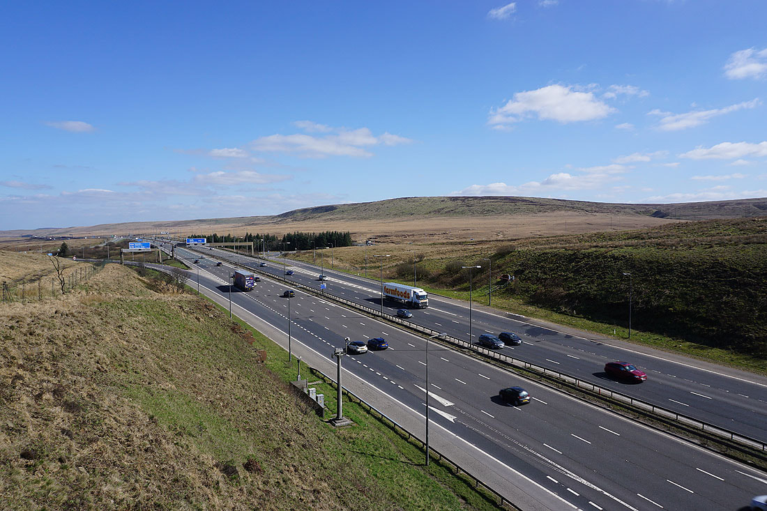
The footbridge that carries the Pennine Way across the M62
Following the Pennine Way towards Blackstone Edge
Looking back to Way Stone Edge, White Hill, and Windy Hill to the south
Green Withens Reservoir to the east
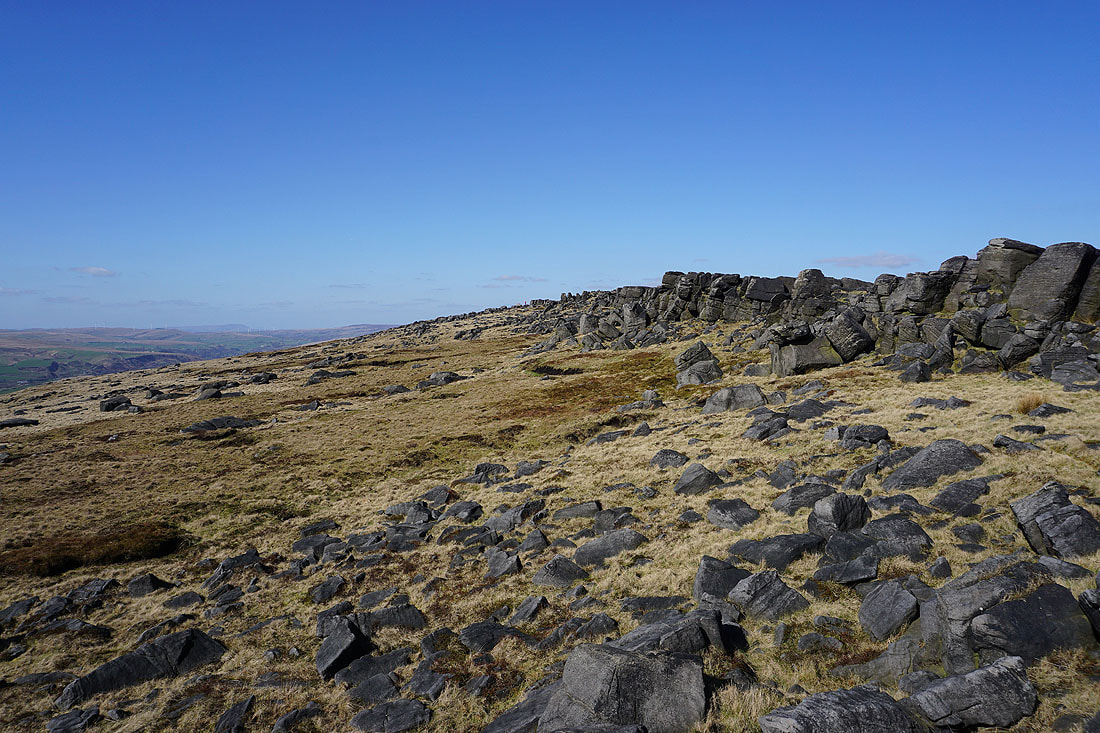
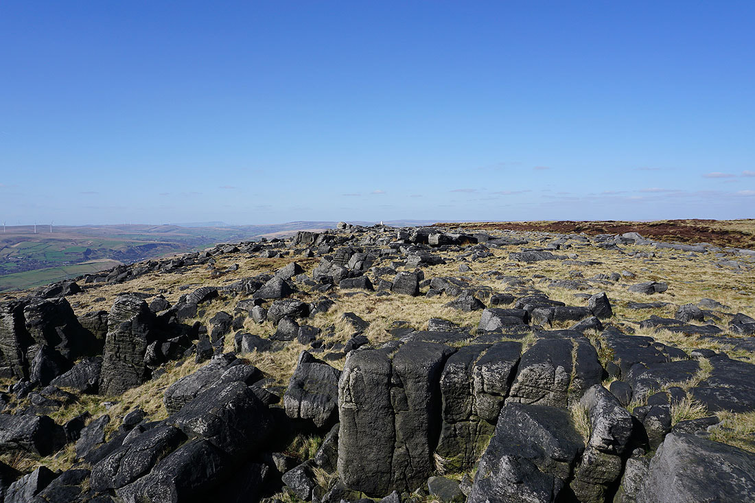
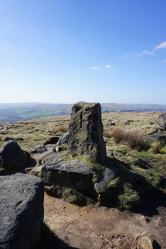
At the southern end of the rocky crest of Blackstone Edge
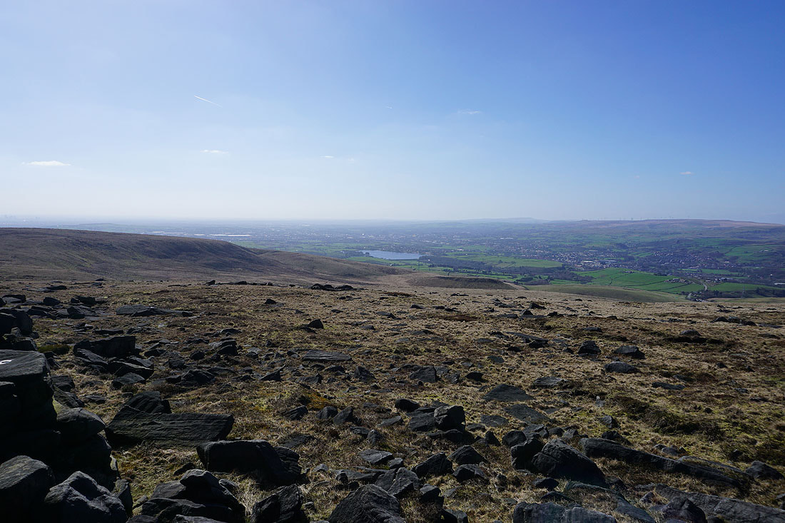
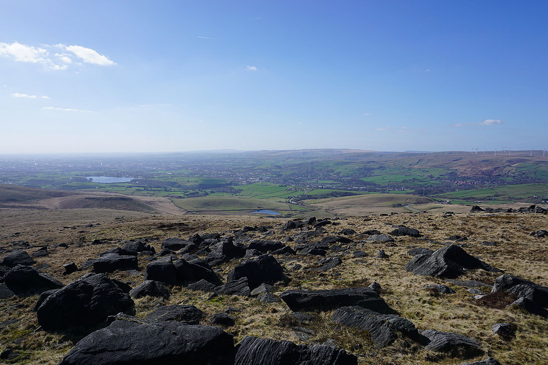
Hollingworth Lake, Rochdale, and Littleborough below
Looking south to Windy Hill and the moors around Saddleworth
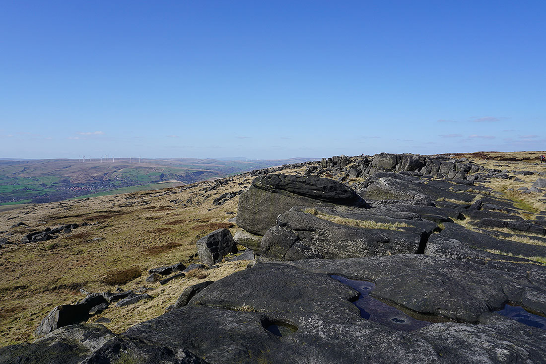
Heading north along Blackstone Edge
Crompton Moor and Low House Moor to the south
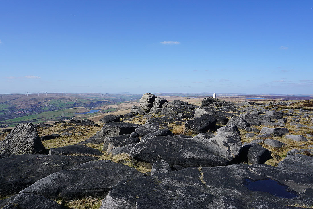
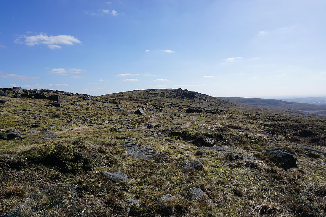
The trig point appears ahead
Great views to the west across Littleborough and Scout Moor to Winter Hill in the distance
and down to Hollingworth Lake
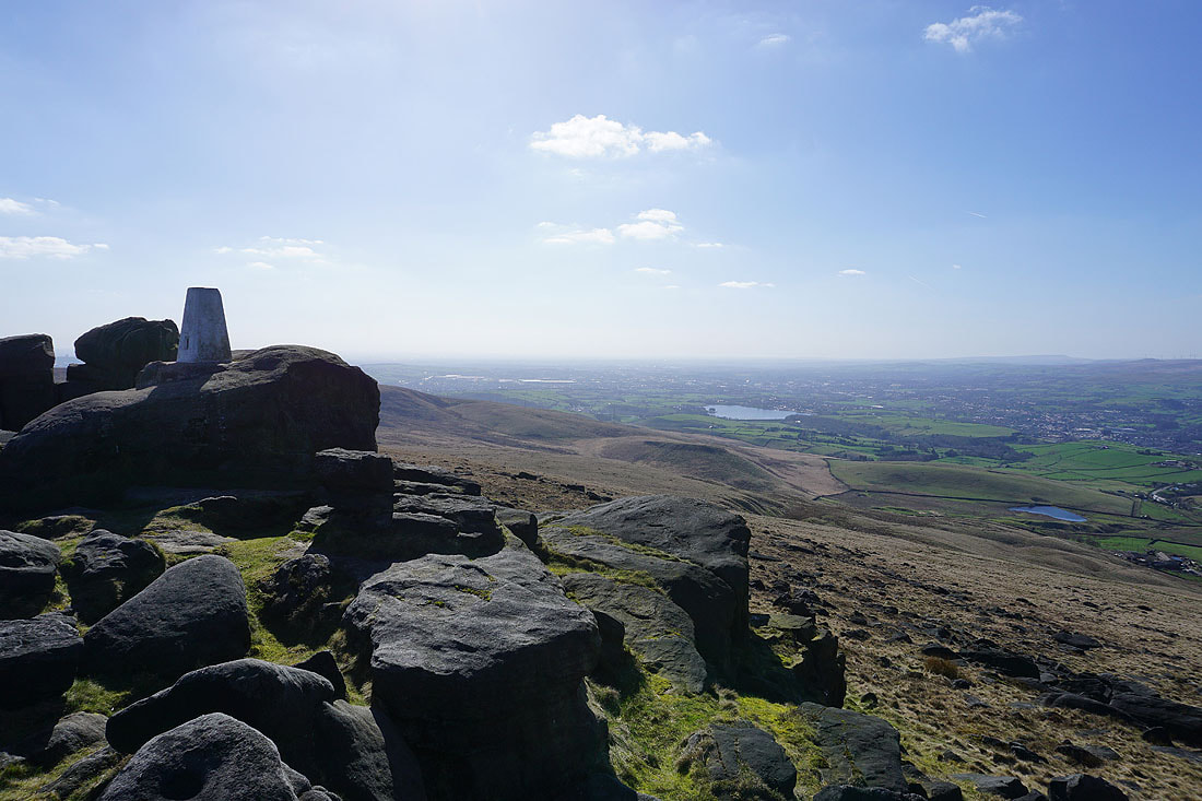
Reaching the trig point on Blackstone Edge..
Taking in the view from the trig point on Blackstone Edge. The moors around Calderdale to the north..
..and a little to the left, the distinctive profile of Pendle Hill in the distance
Hollingworth Lake below
Looking back to Blackstone Edge as I head north on the Pennine Way
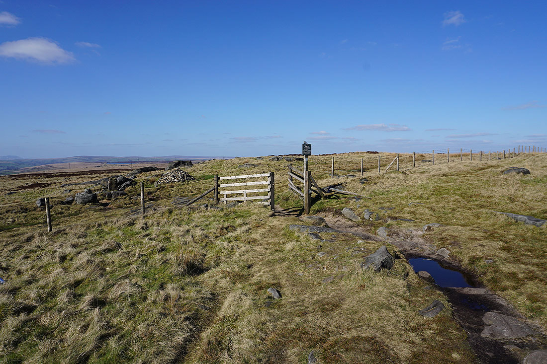
I'm not on it for long though. At the junction of paths ahead I'll turn right and take the bridleway towards Rochdale Road.
The Aiggin Stone. A medieval guide stone that sits at the top of the packhorse route that crossed the Pennines just to the north of Blackstone Edge. It's about 600 yrs old.
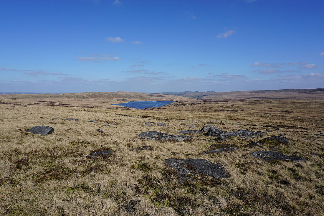
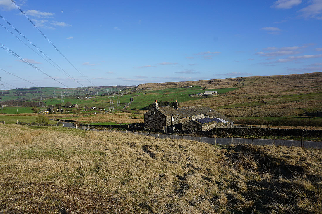
Heading down the bridleway to Rochdale Road. I can just about make out Baitings Reservoir in the distance, with Great Manshead Hill to the left and Rishworth Moor to the right.
The bridleway is left behind for a path by a catchwater drain
Looking down Rag Sapling Clough to Great Manshead Hill
Views to the north across to Byron Edge, Soyland Moor, and Great Manshead Hill..
..and down Rag Sapling Clough to Baitings Reservoir
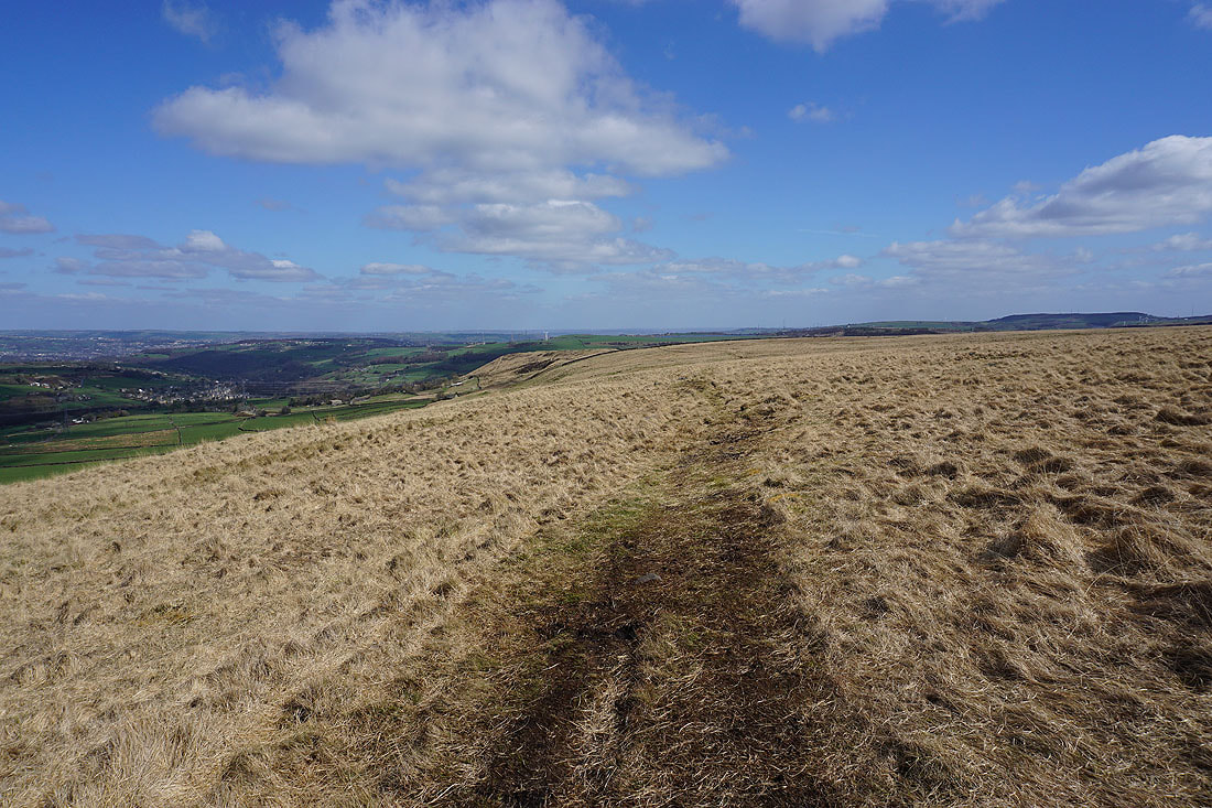
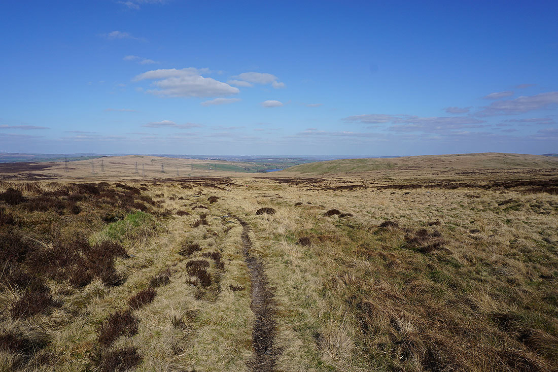
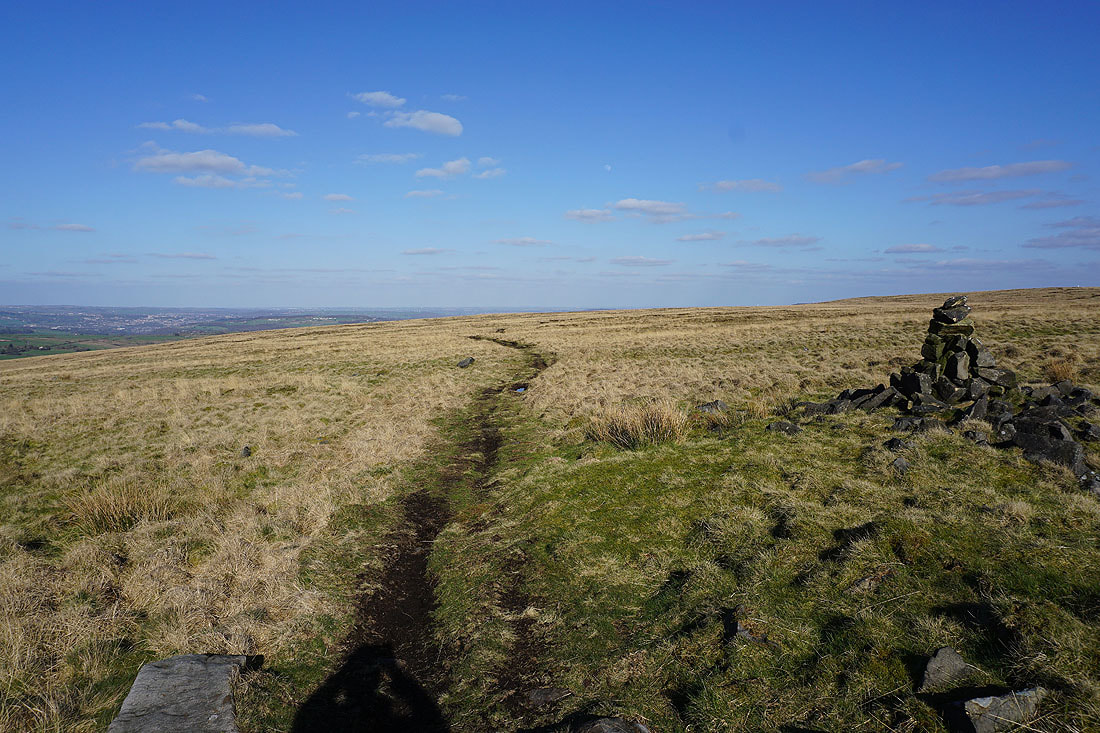
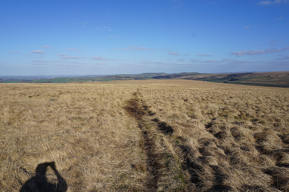
Following the path across the northern slopes of Rishworth Moor..
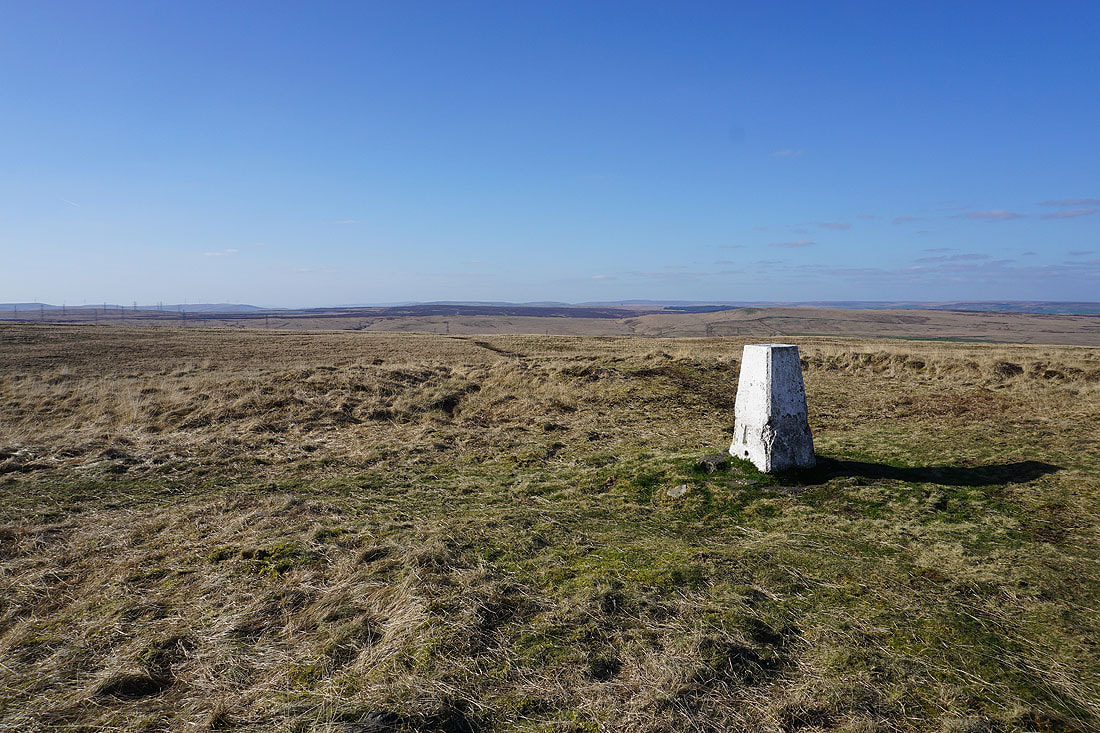
At the trig point on Dog Hill for the second time today. Looking west to Green Withens Reservoir and Blackstone Edge.
Soyland Moor, Great Manshead Hill, and the moors of Calderdale to the north
Heading east to Blackwood Common
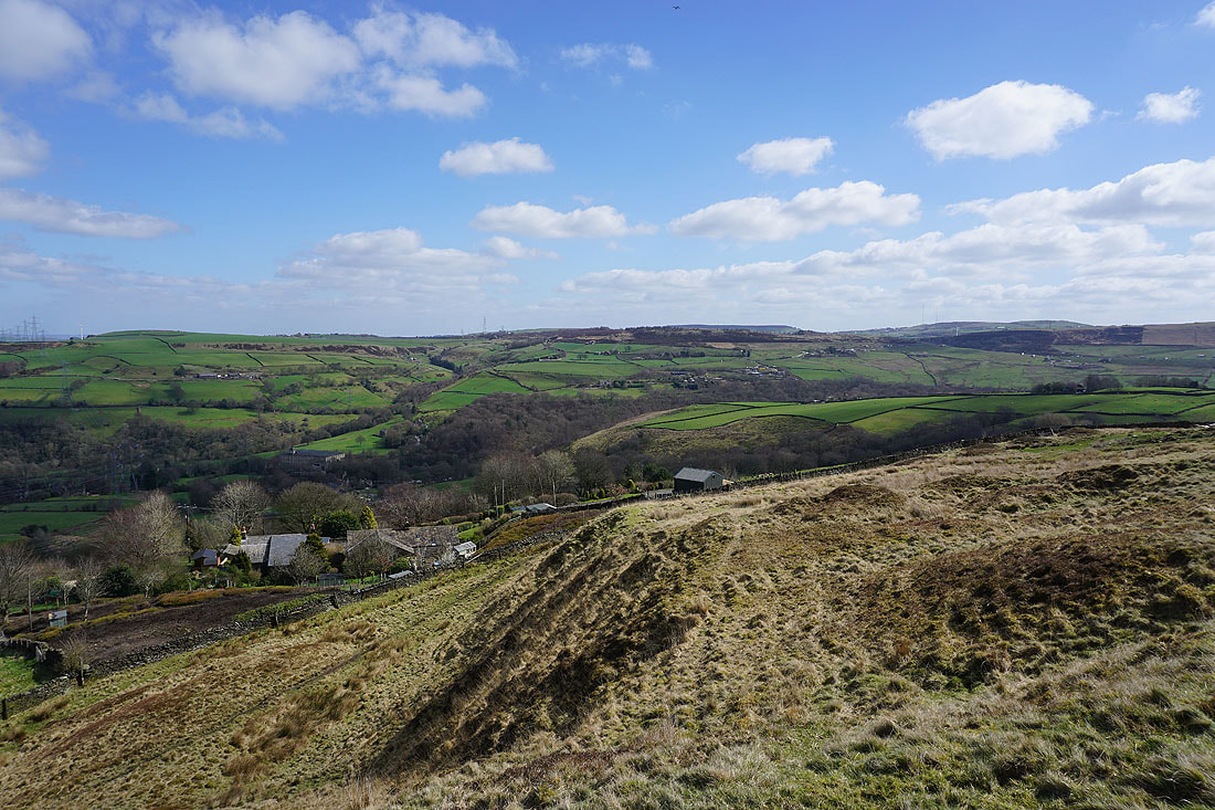
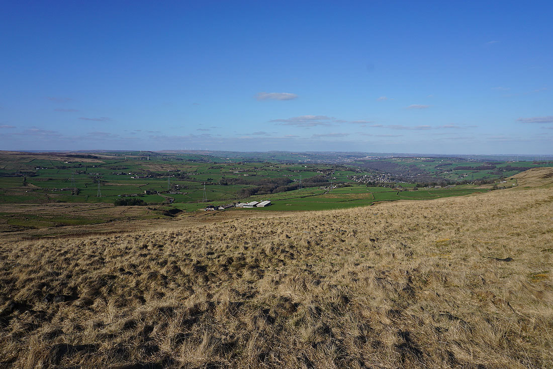
To my left, the valley of the River Ryburn down to Ripponden
I'm leaving the access land of Blackwood Common at the field corner, and the public footpath to Blackwood Farm
On the access track from Blackwood Farm to Long Causeway
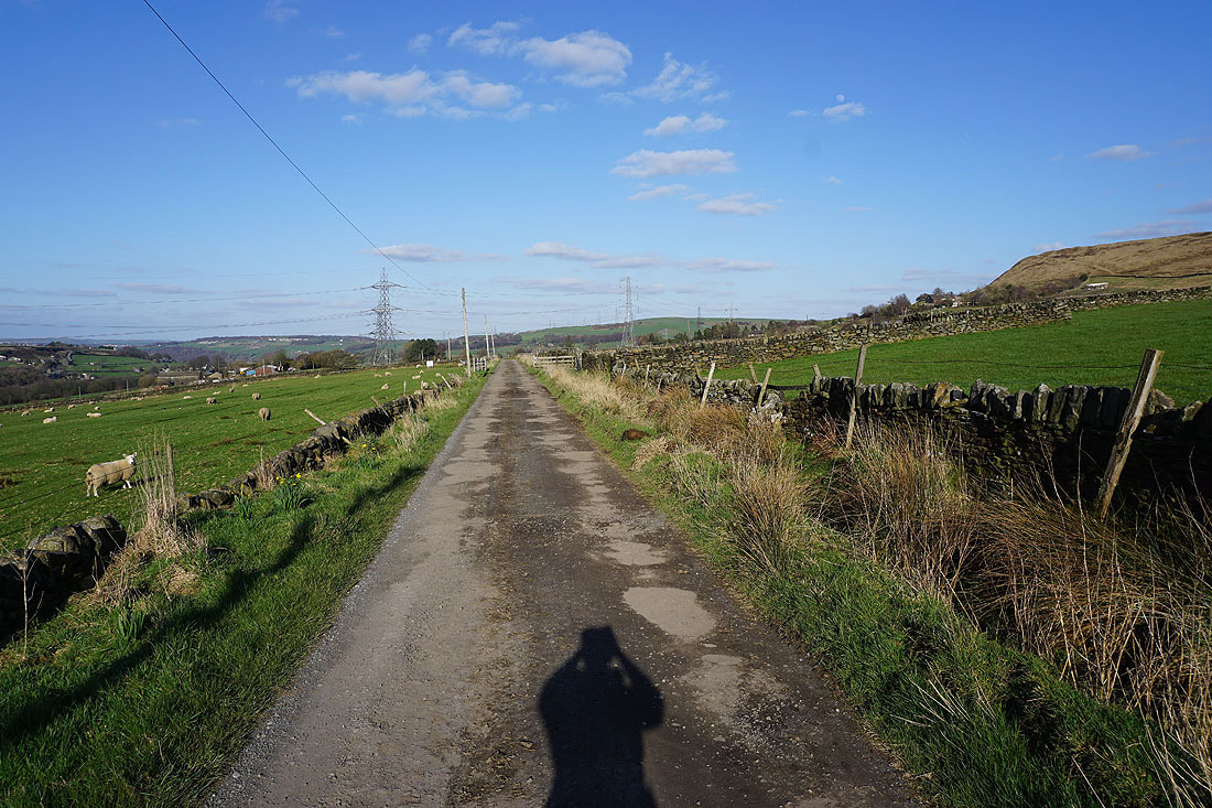
Walking down Long Causeway to Hutch Bridge
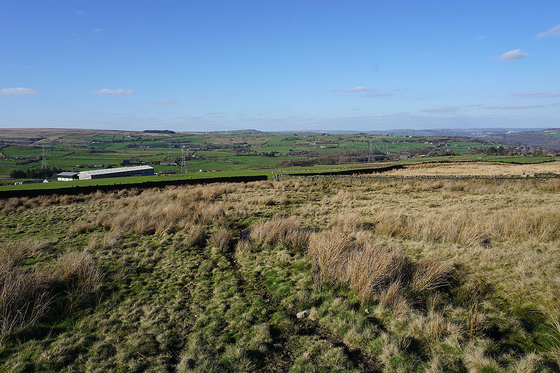
Looking back from Long Causeway above Mires Farm and across to Pike End and Blackwood Common
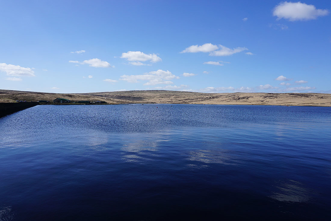
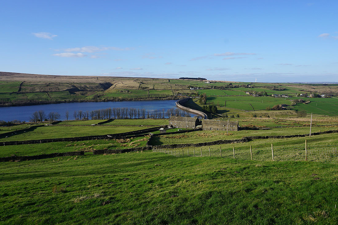
Finally above Baitings Reservoir
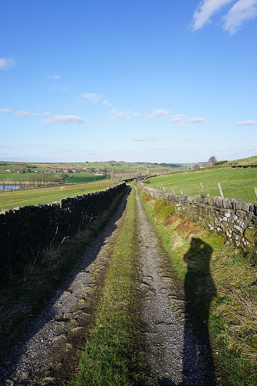
On the footpath down to Upper Schole Carr Farm and Baitings Reservoir
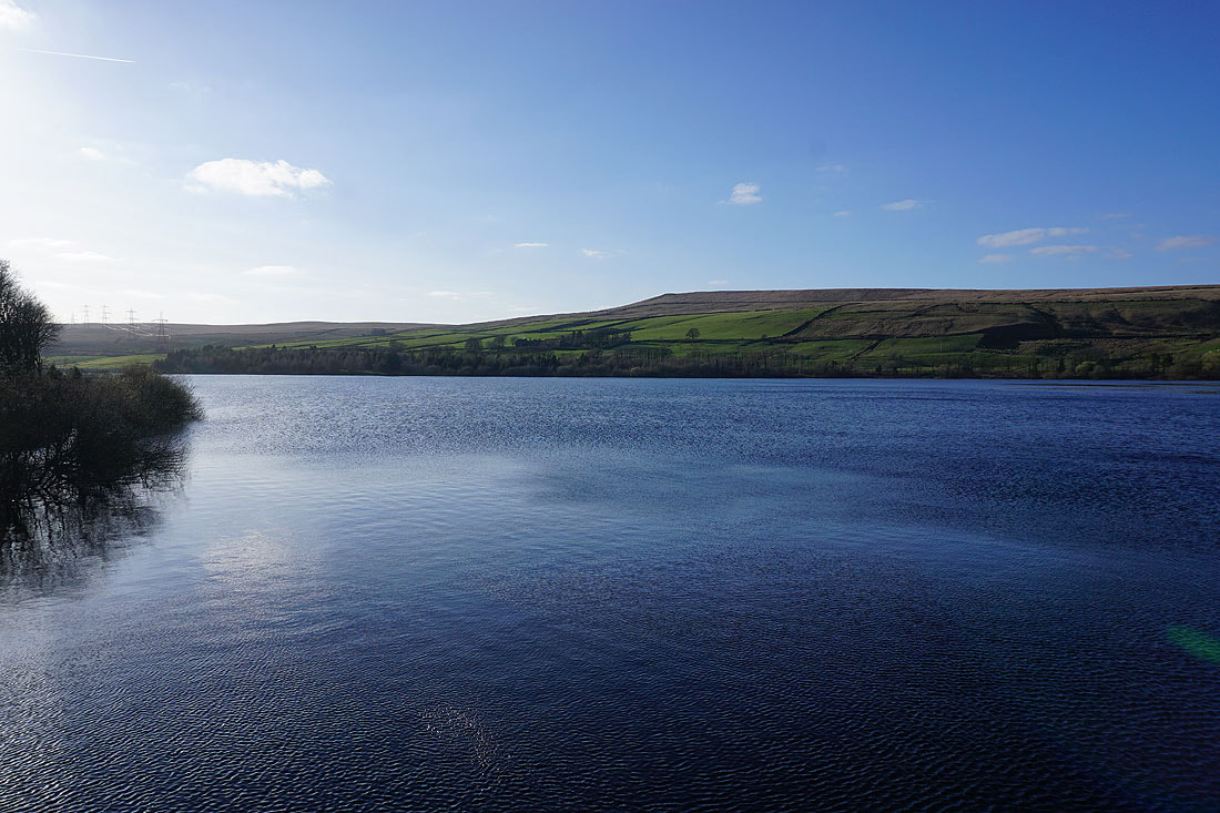
A beautiful end to the afternoon at Baitings Reservoir..
