2nd August 2009 - Tarn Crag and Grey Crag from Wet Sleddale
Walk Details
Distance walked: 13.7 miles
Total ascent: 2237 ft
OS map used: OL5 - The English Lakes, North-eastern area & OL7 - The English Lakes, South-eastern area
Time taken: 7 hrs
Route description: Wet Sleddale Reservoir-Lunch House-Gray Bull-Sleddale Pike-Wasdale Pike-Great Yarlside-Harrop Pike-Grey Crag-Tarn Crag-Brunt Tongue-Mosedale Beck-High Wether Howe-Seat Robert-Stackhouse Brow-Green Farm-Thorney Bank-Wet Sleddale Reservoir
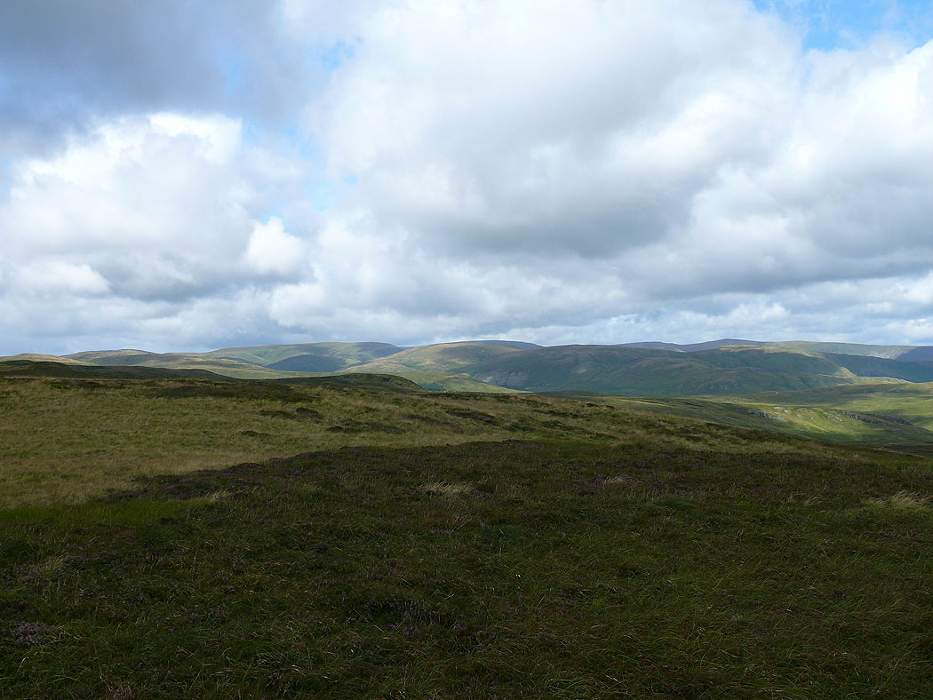
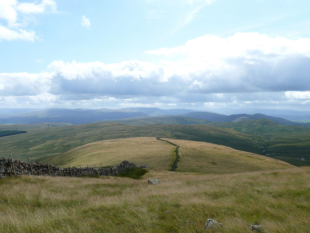
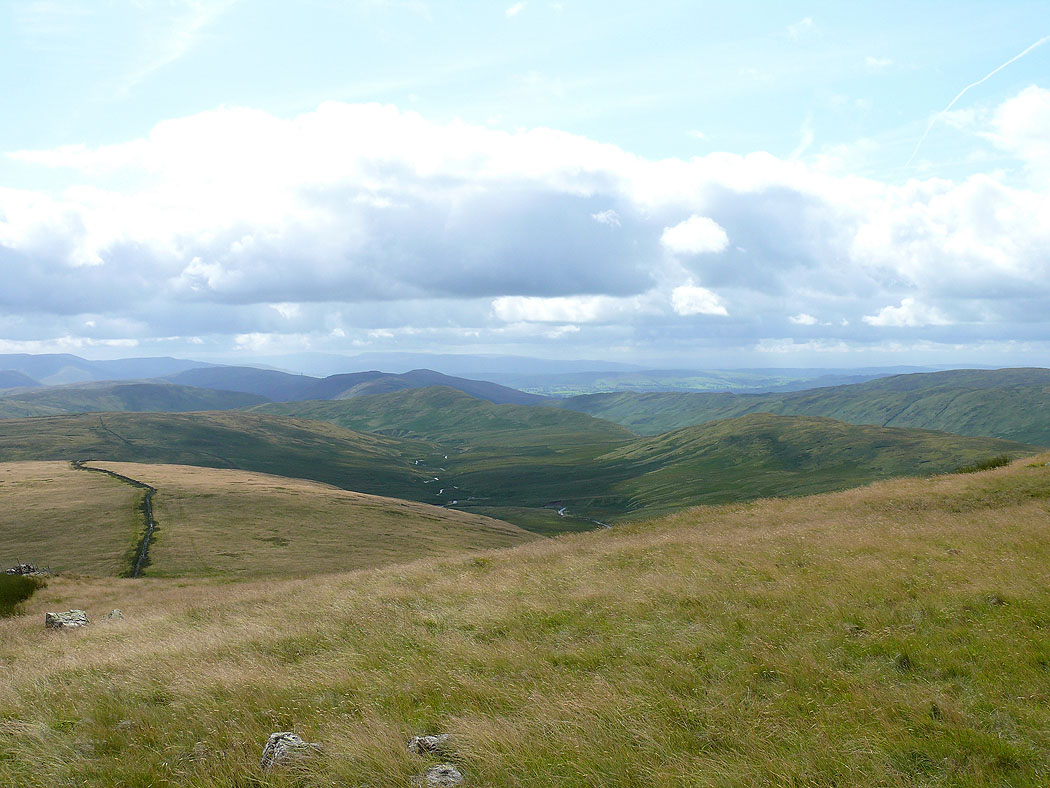
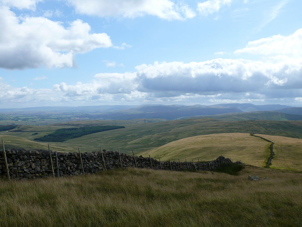
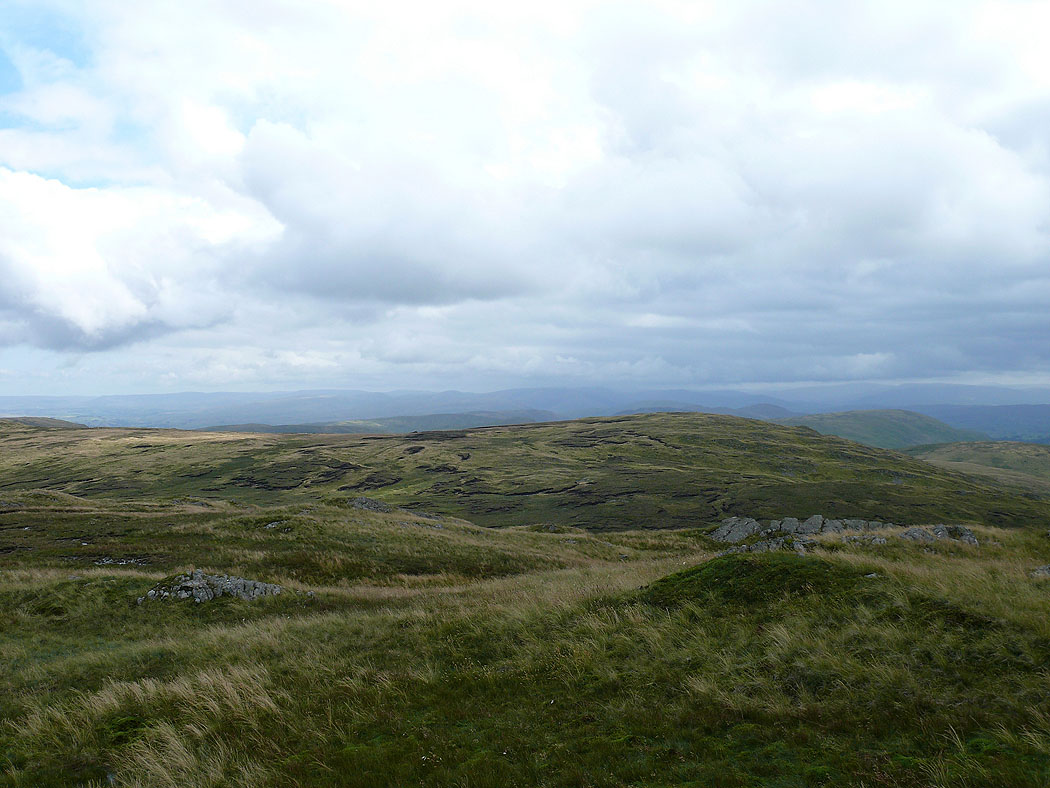
The aim of this walk was to bag the Wainwrights of Grey Crag and Tarn Crag as well as to experience the loneliness of the Shap Fells. The terrain underfoot is rough and wet at times and there's nothing in the way of a path to follow at various points. After parking at Wet Sleddale Reservoir I took the track that heads off uphill towards the shooters box called Lunch House that's marked on the OS map. From there I made for Sleddale Pike with a visit to the glacial erratic of Gray Bull on the way. The cairn on Sleddale Pike gives a good view of the reservoir as well as giving an idea of the terrain to be covered during the rest of the walk. It was then uphill again to Wasdale Pike and then Great Yarlside. Great Yarlside has good views out to the east across the Shap Fells to the Howgills and Pennines. I then followed the ridge line upto Harrop Pike and then my first Wainwright of the day, Grey Crag. From Grey Crag I then had to cross the boggy hollow of Greycrag Tarn upto the summit of Tarn Crag. The summits of Grey Crag and Tarn Crag felt more like being in the Pennines than the Lake District with grassy moorland more of a feature than rock and crags. There are glimpses of more familiar Lakeland hills to the west however to remind you where you are. From Tarn Crag I then followed the ridge of Brunt Tongue down into Mosedale. There's a footbridge marked on the OS map to cross Mosedale Beck but I couldn't find it so I had no choice but to take my boots off and ford the beck. I don't know if the bridge has gone or that I didn't look hard enough but take note. After crossing the beck I followed the bridleway to Wet Sleddale for a short distance before making my way upto High Wether Howe and then Seat Robert. This stretch was probably the wettest. After Seat Robert I then walked back to the reservoir.
Total ascent: 2237 ft
OS map used: OL5 - The English Lakes, North-eastern area & OL7 - The English Lakes, South-eastern area
Time taken: 7 hrs
Route description: Wet Sleddale Reservoir-Lunch House-Gray Bull-Sleddale Pike-Wasdale Pike-Great Yarlside-Harrop Pike-Grey Crag-Tarn Crag-Brunt Tongue-Mosedale Beck-High Wether Howe-Seat Robert-Stackhouse Brow-Green Farm-Thorney Bank-Wet Sleddale Reservoir
The aim of this walk was to bag the Wainwrights of Grey Crag and Tarn Crag as well as to experience the loneliness of the Shap Fells. The terrain underfoot is rough and wet at times and there's nothing in the way of a path to follow at various points. After parking at Wet Sleddale Reservoir I took the track that heads off uphill towards the shooters box called Lunch House that's marked on the OS map. From there I made for Sleddale Pike with a visit to the glacial erratic of Gray Bull on the way. The cairn on Sleddale Pike gives a good view of the reservoir as well as giving an idea of the terrain to be covered during the rest of the walk. It was then uphill again to Wasdale Pike and then Great Yarlside. Great Yarlside has good views out to the east across the Shap Fells to the Howgills and Pennines. I then followed the ridge line upto Harrop Pike and then my first Wainwright of the day, Grey Crag. From Grey Crag I then had to cross the boggy hollow of Greycrag Tarn upto the summit of Tarn Crag. The summits of Grey Crag and Tarn Crag felt more like being in the Pennines than the Lake District with grassy moorland more of a feature than rock and crags. There are glimpses of more familiar Lakeland hills to the west however to remind you where you are. From Tarn Crag I then followed the ridge of Brunt Tongue down into Mosedale. There's a footbridge marked on the OS map to cross Mosedale Beck but I couldn't find it so I had no choice but to take my boots off and ford the beck. I don't know if the bridge has gone or that I didn't look hard enough but take note. After crossing the beck I followed the bridleway to Wet Sleddale for a short distance before making my way upto High Wether Howe and then Seat Robert. This stretch was probably the wettest. After Seat Robert I then walked back to the reservoir.
Route map
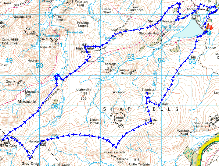
© Crown copyright. All rights reserved. License number PU 100034184.
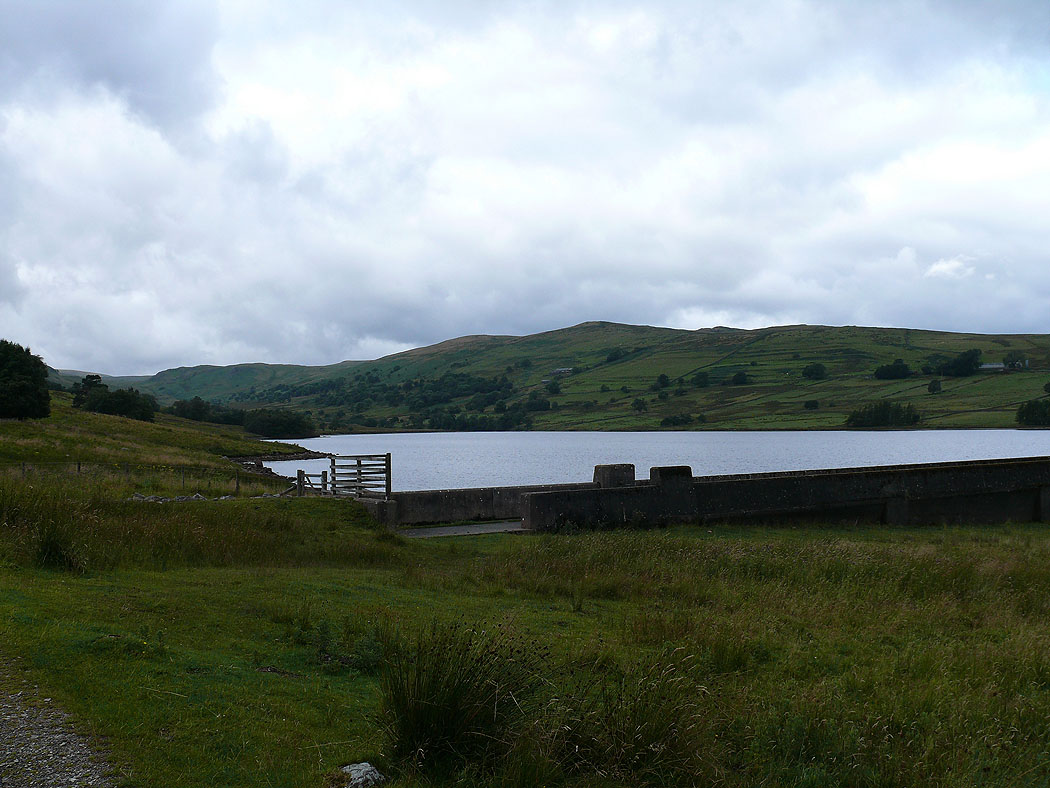
Wet Sleddale Reservoir at the start of the walk
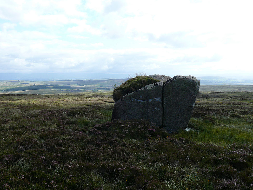
Gray Bull. A glacial erratic block of Shap granite.
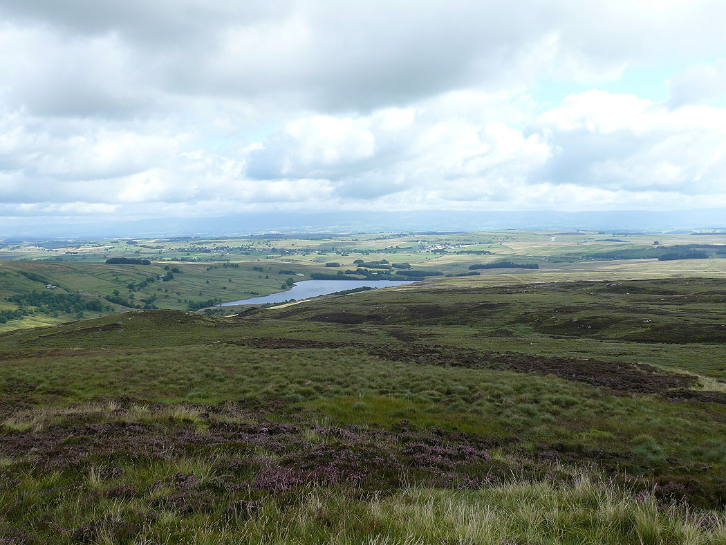
Wet Sleddale Reservoir from Sleddale Pike
The view up to Mosedale and the far eastern fells from Sleddale Pike
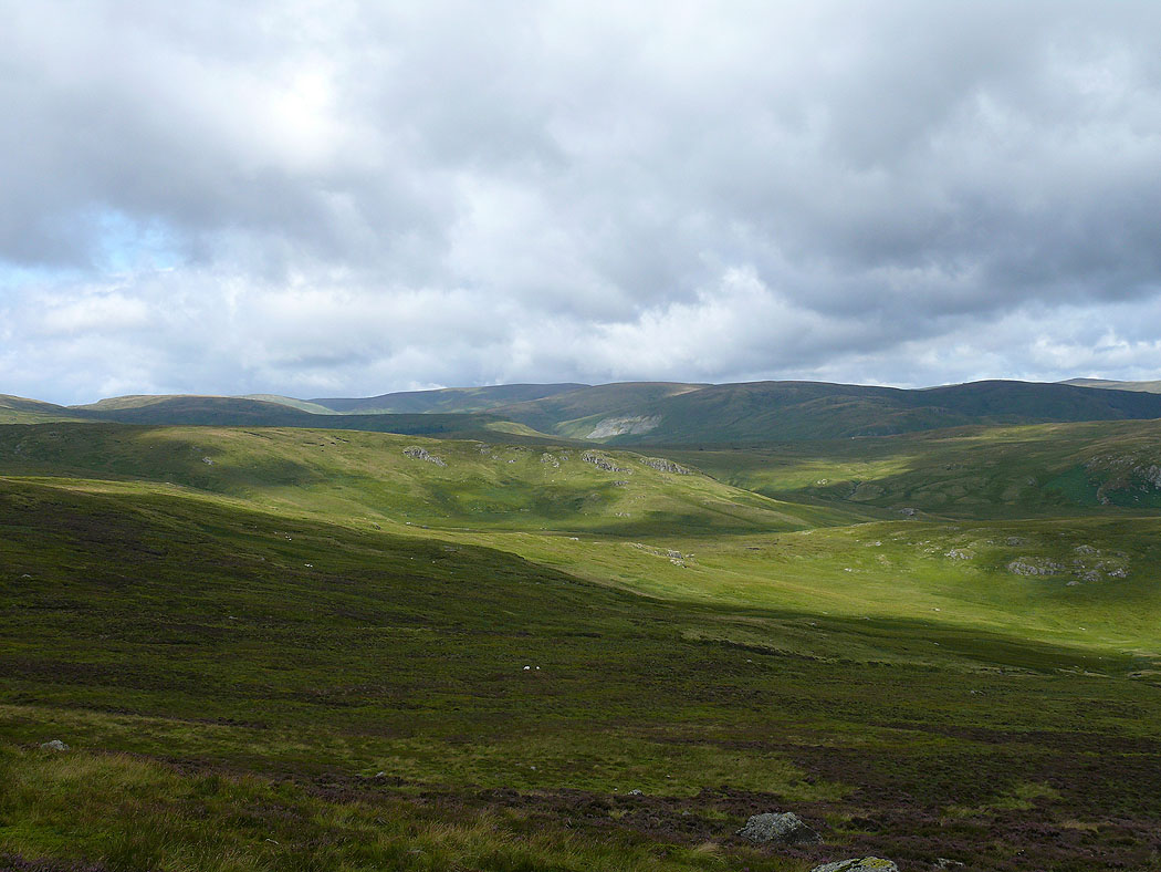
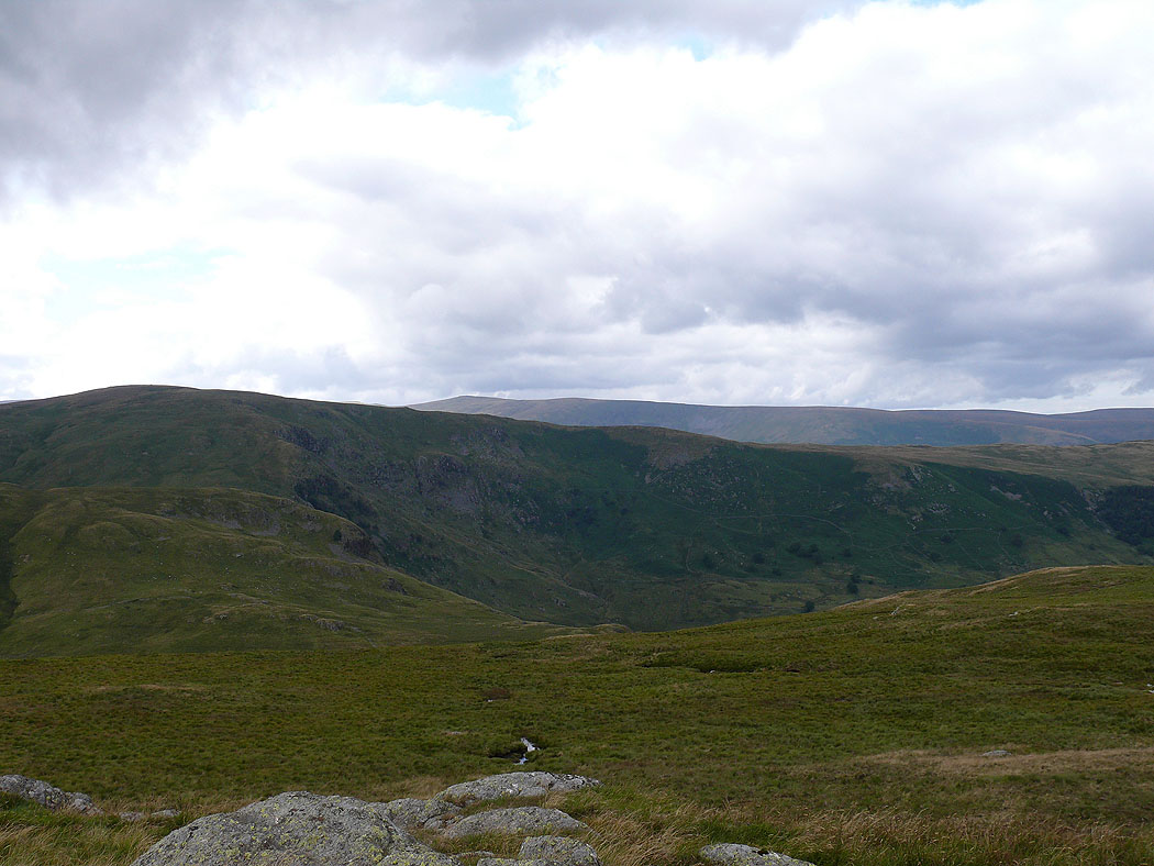
Tongue Rigg below with High Wether Howe and Seat Robert behind
Distant Howgills from Wasdale Pike
The North Pennines from Wasdale Pike
The view up to the far eastern fells from Wasdale Pike
The Howgills in the distance from Great Yarlside
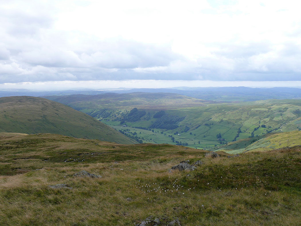
The valley of Crookdale below
The valley of Wasdale down to the left
Trig station on Great Yarlside
The North Pennines in the distance from Harrop Pike
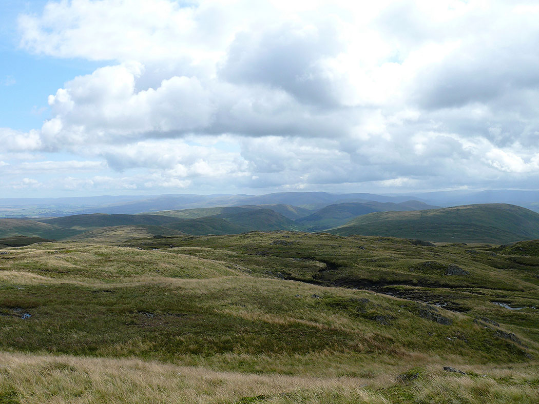
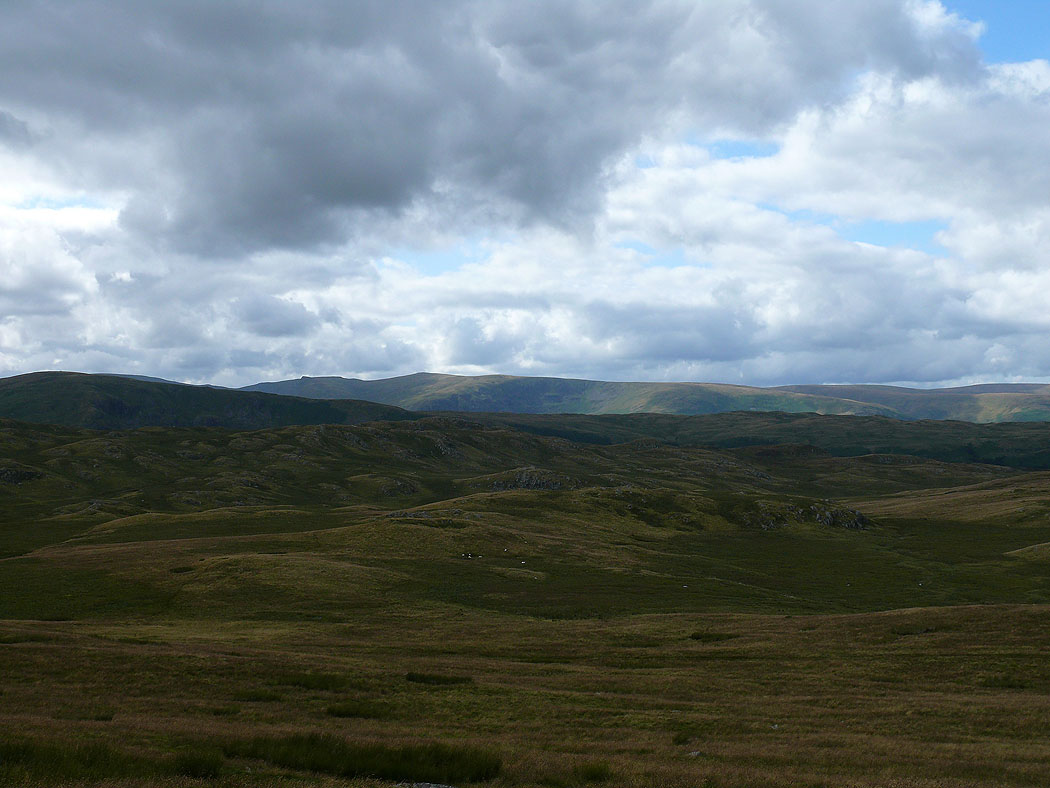
Branstree and Selside Pike
Tarn Crag with Kentmere Pike and Harter Fell behind
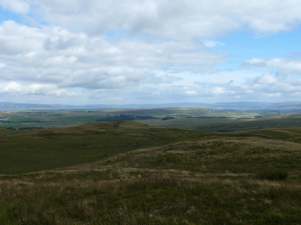
The view across the Shap Fells to the Howgills
Longsleddale from Grey Crag
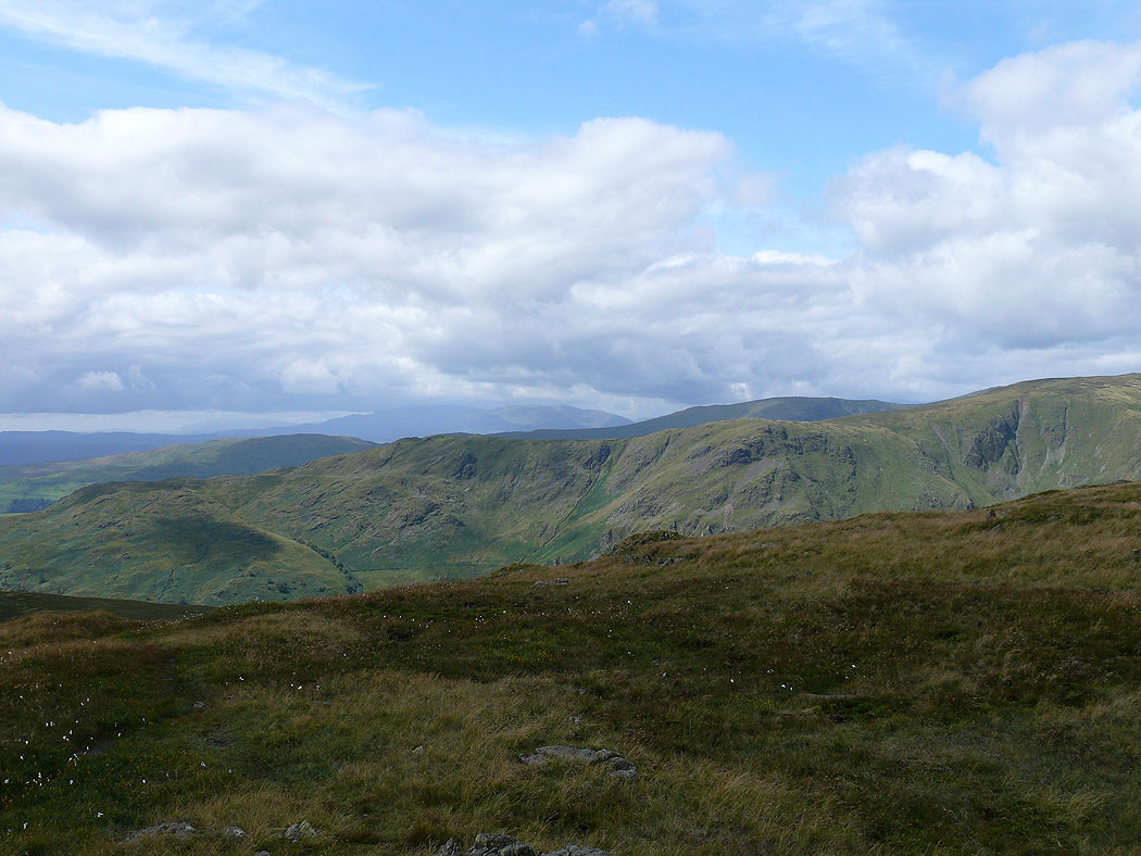
The Coniston fells behind Shipman Knotts
Looking back to Harrop Pike and the North Pennines
The Howgills beyond the Shap fells from Grey Crag
The North Pennines from Tarn Crag
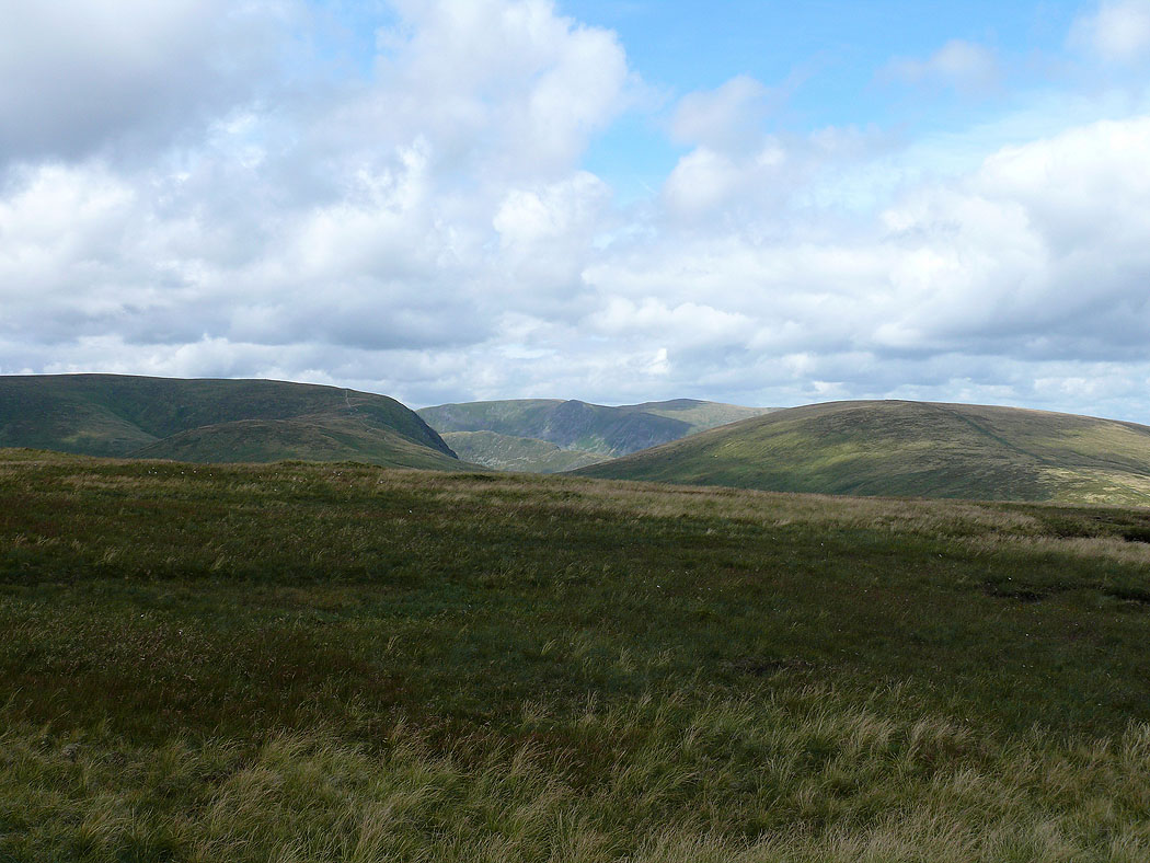
Kidsty Pike and High Raise in the gap between Harter Fell and Branstree
Distant Coniston fells and Kentmere Pike
Grey Crag
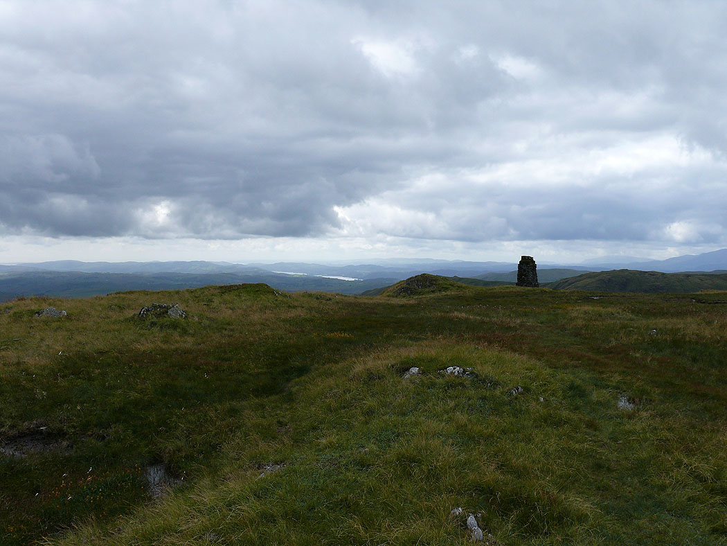
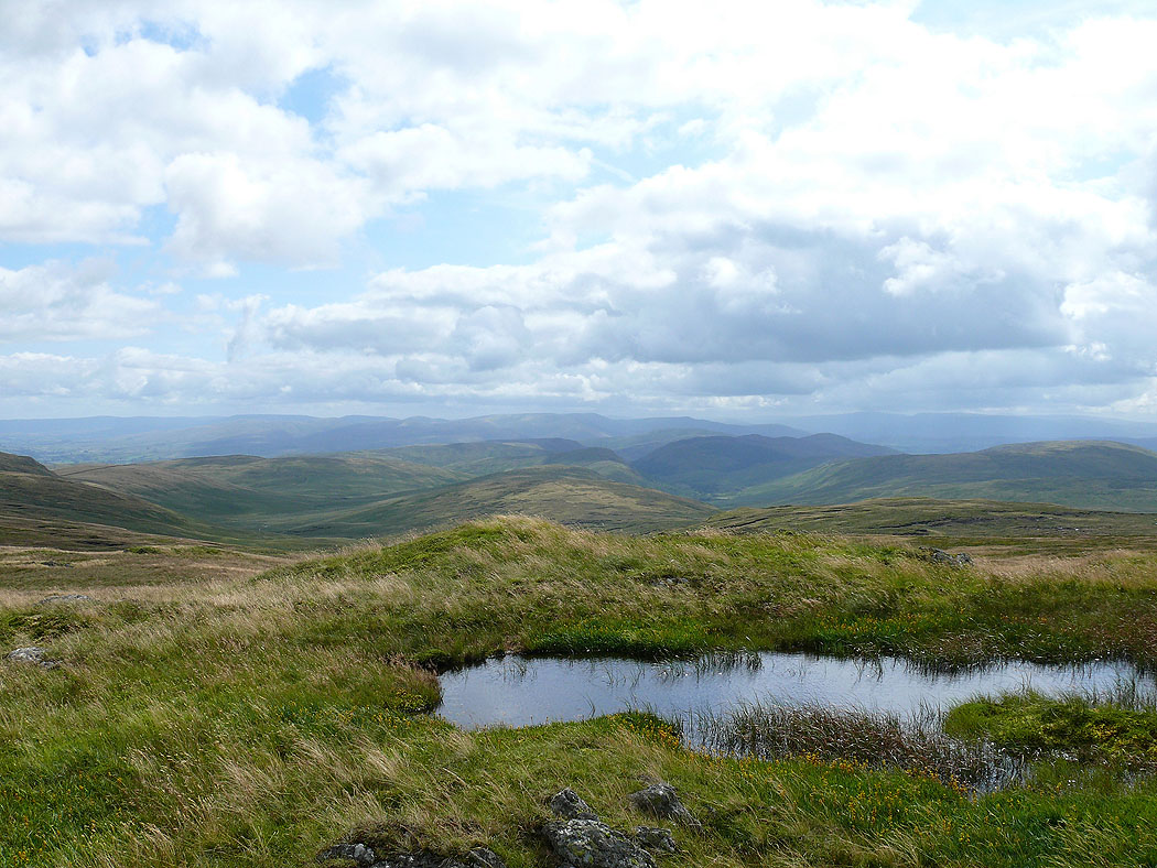
A glimpse of Windermere from Tarn Crag
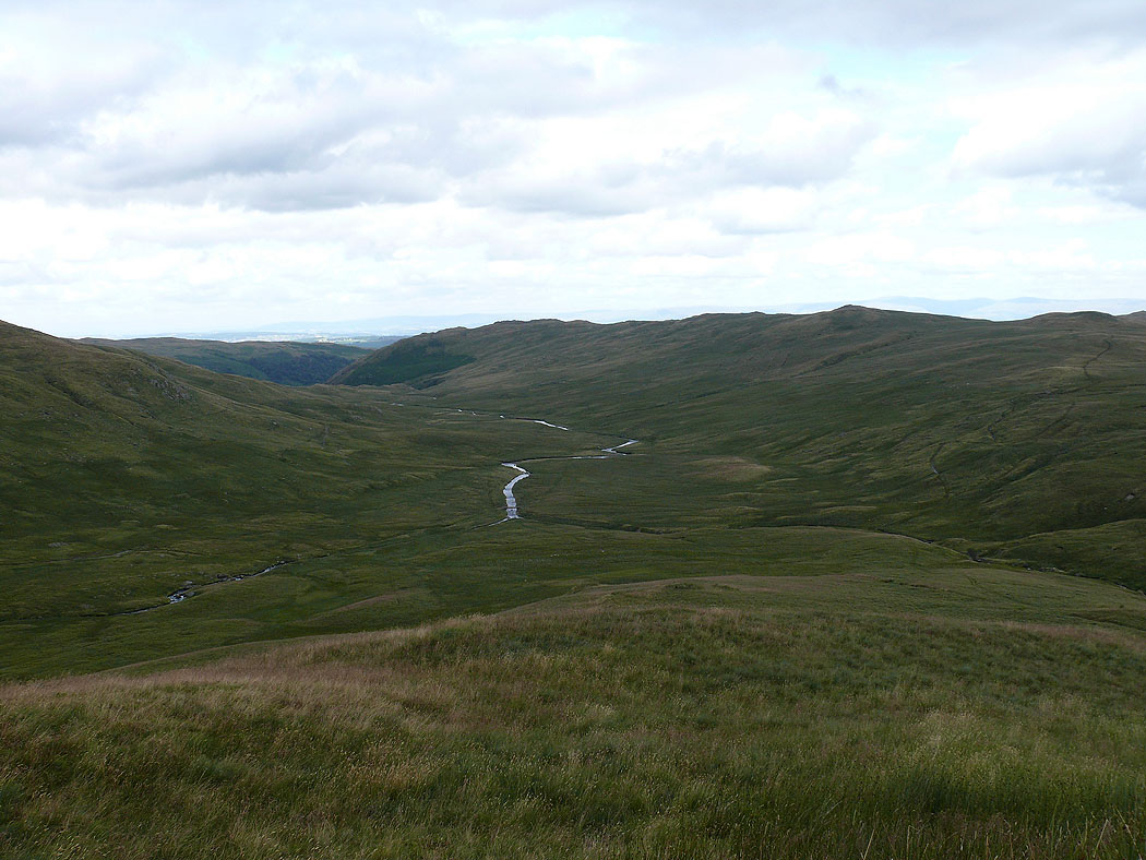
Heading down Brunt Tongue into Mosedale
On High Wether Howe. Tarn Crag and Kentmere Pike.
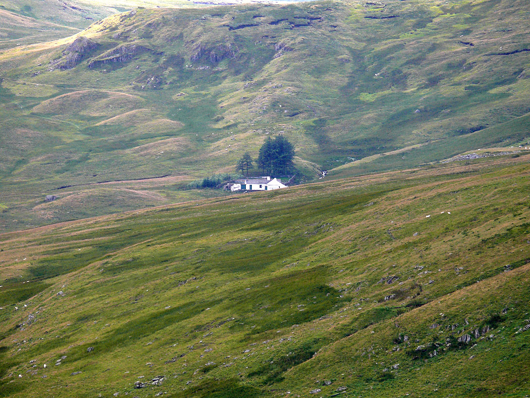
Mosedale Cottage
Selside Pike with High Raise in the distance behind
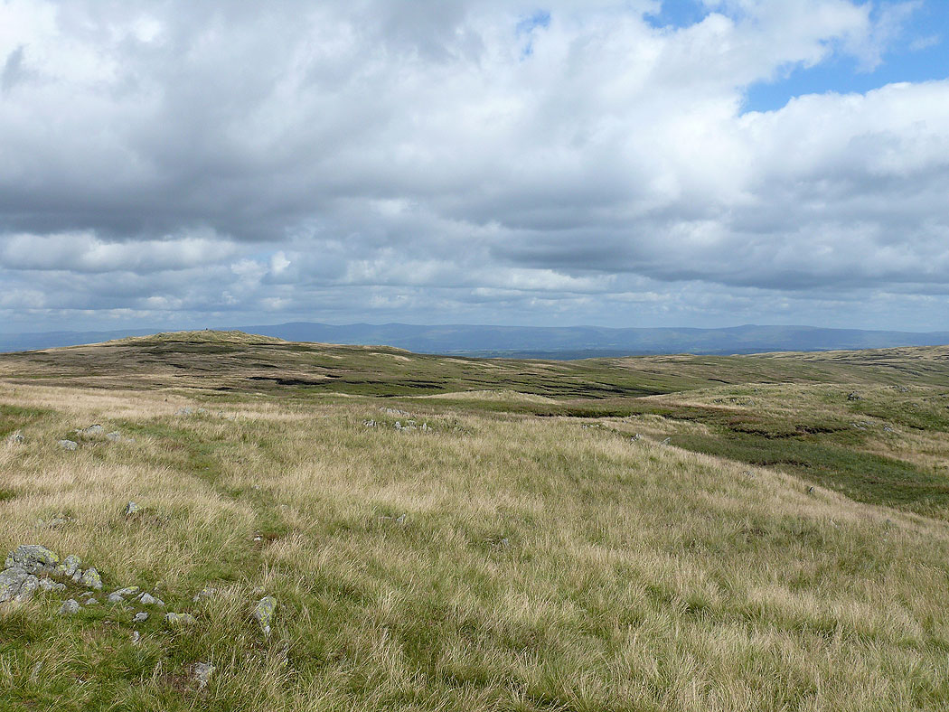
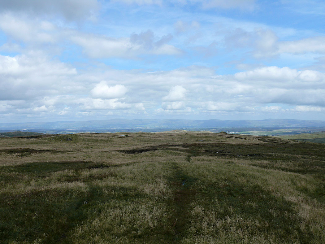
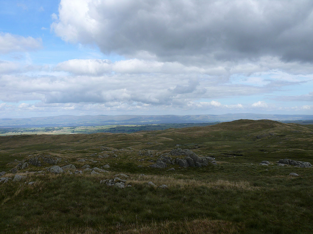
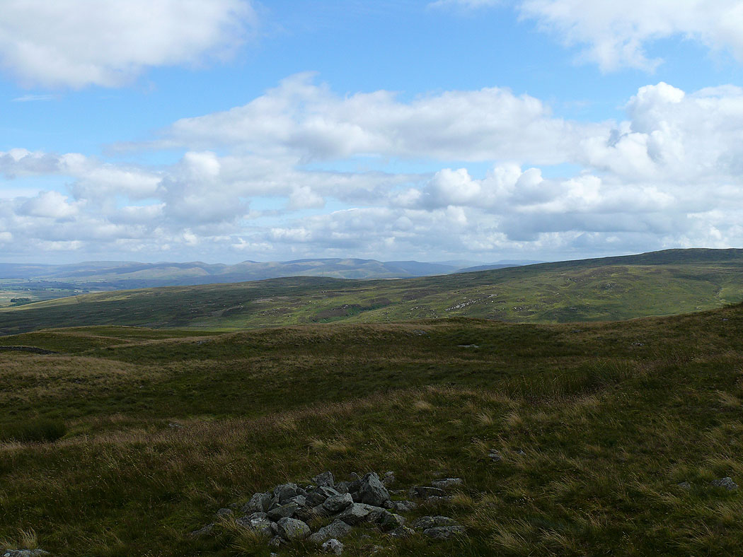
Shap Fells
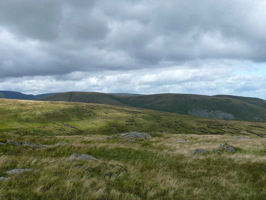
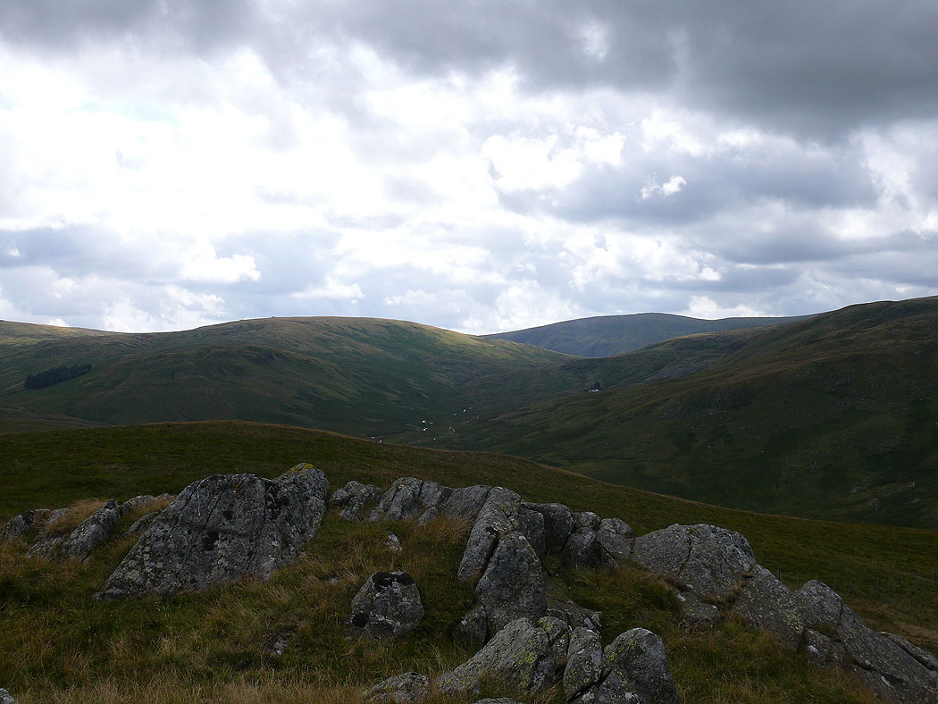
The North Pennines in the distance and Seat Robert to the right
On Seat Robert. Selside Pike on the left with Kidsty Pike and High Raise behind.
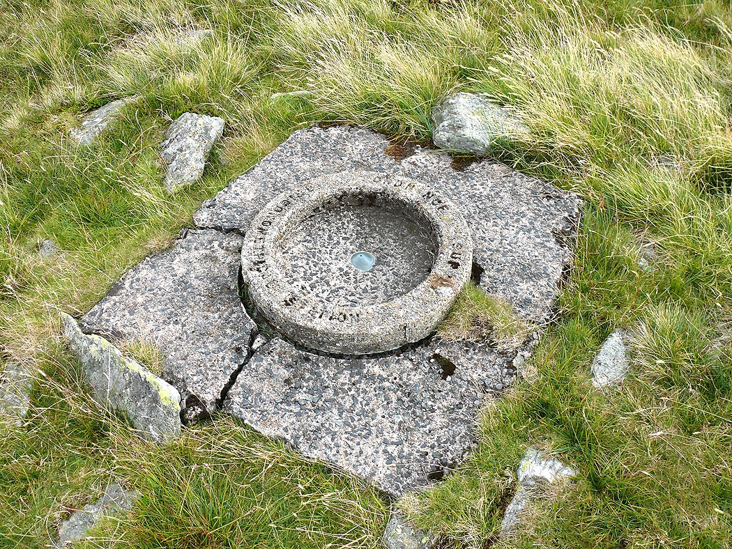
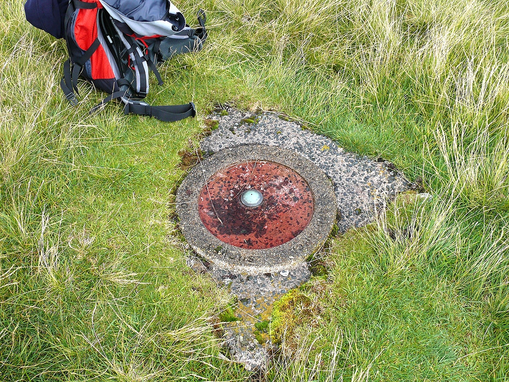
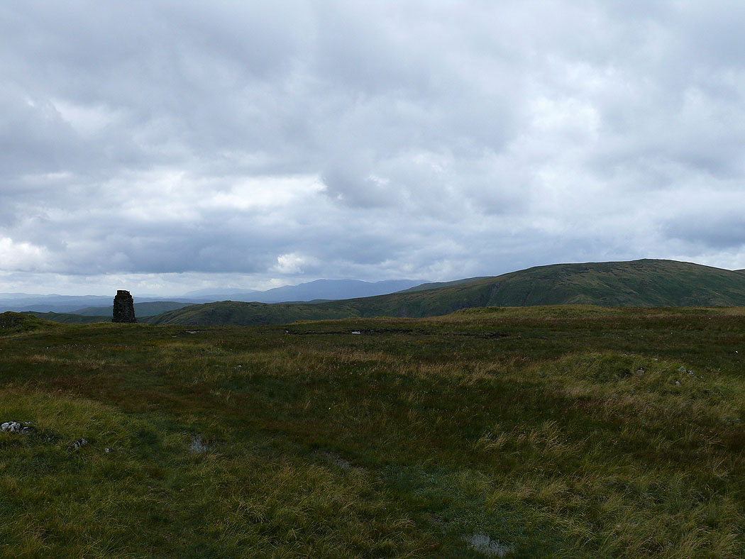
The trig station on Seat Robert
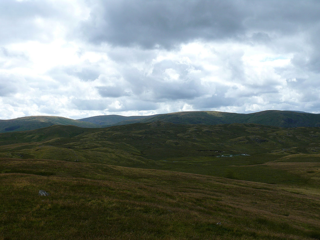
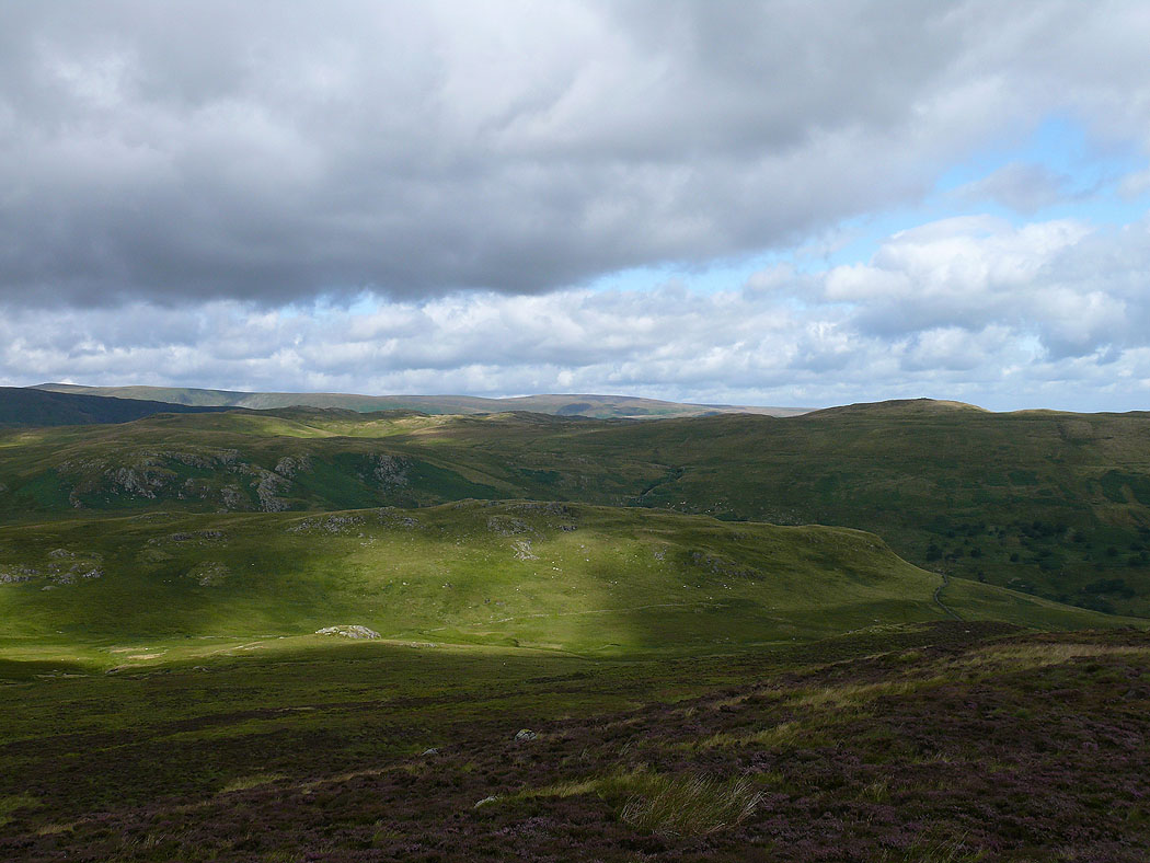
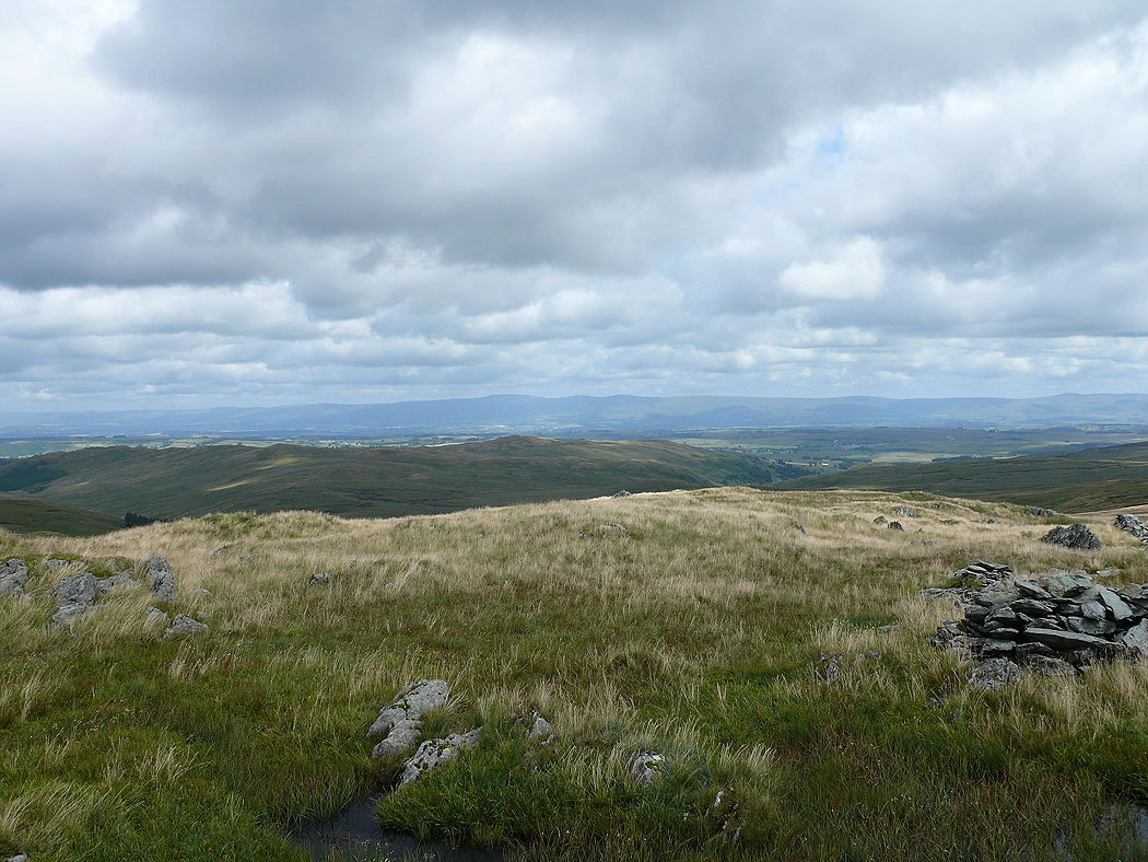
The view back to High Wether Howe
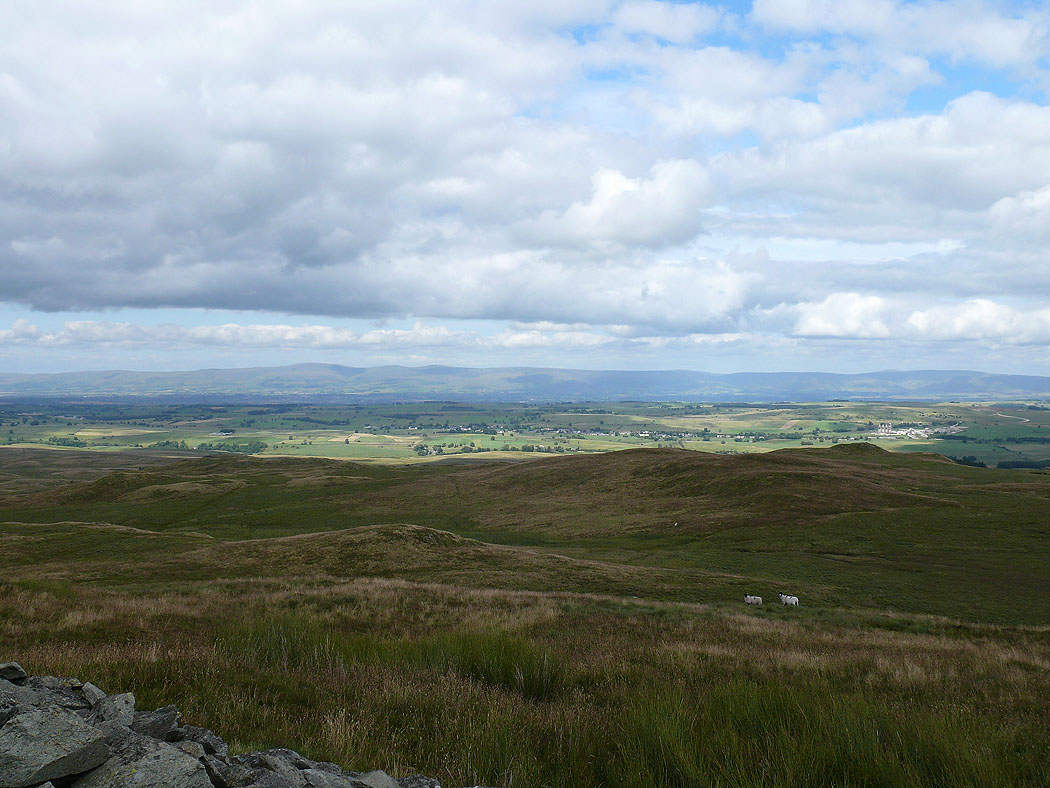
The Howgills in the distance
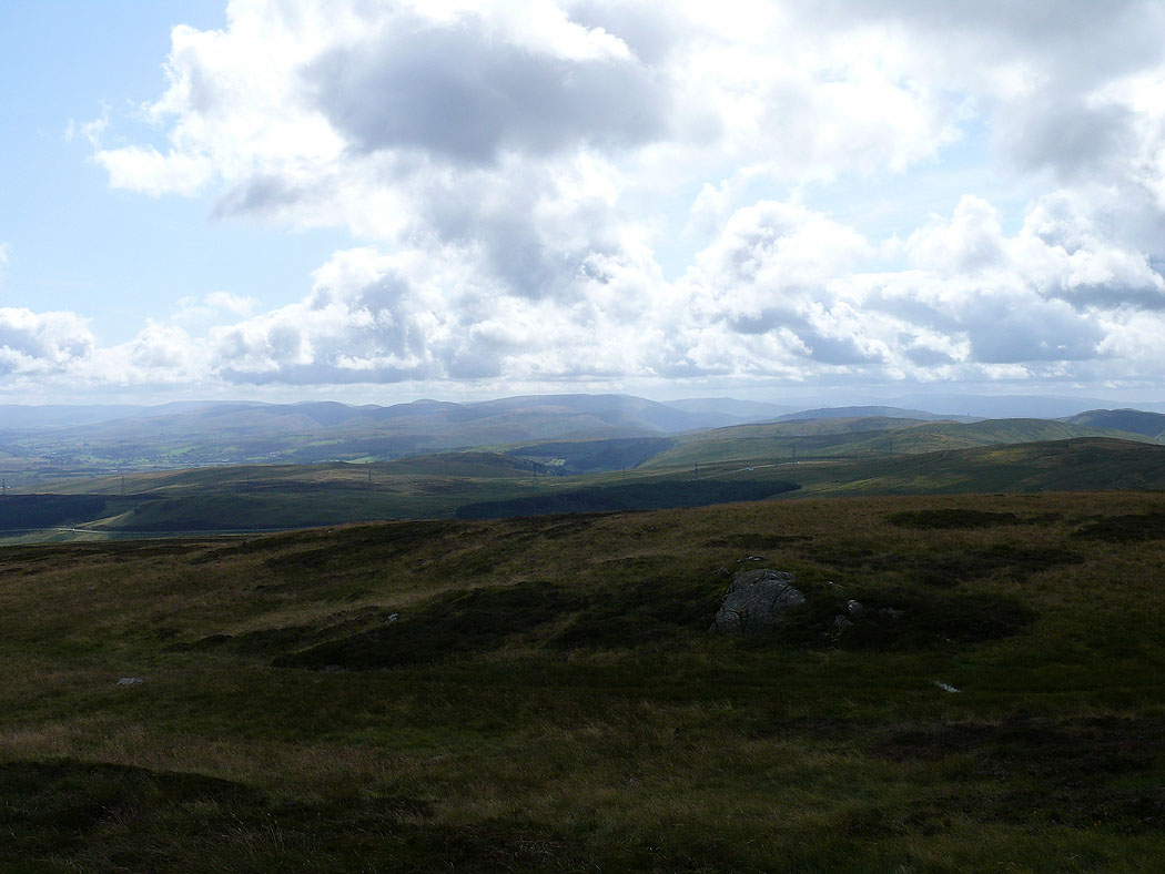
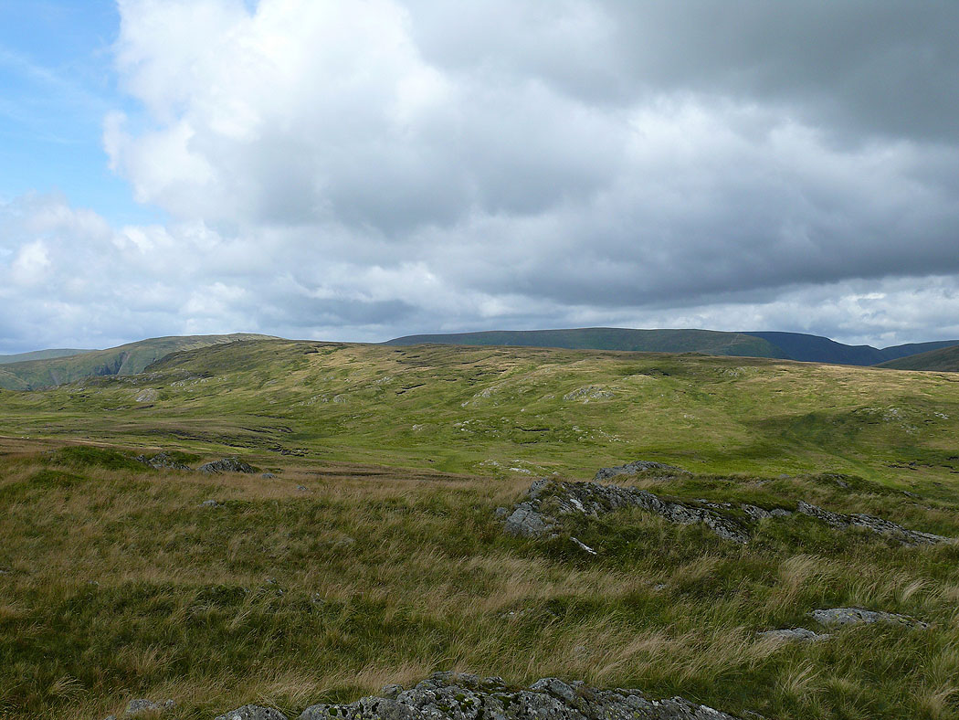
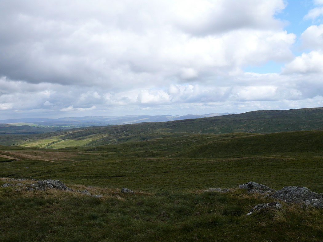
The view across to the Westmorland limestone plateau
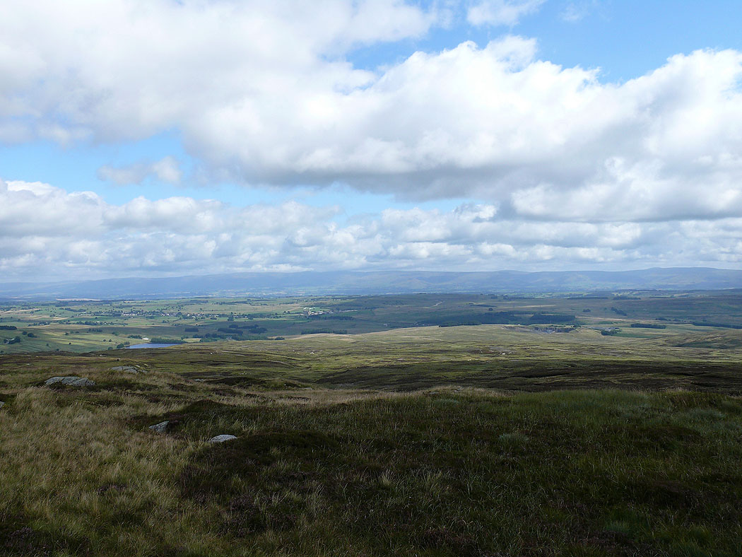
Cross Fell and the North Pennines from Seat Robert , the last shot before I head back to Wet Sleddale.