2nd August 2020 - Haworth Moor and Stanbury Moor
Walk Details
Distance walked: 10.9 miles
Total ascent: 1660 ft
OS map used: OL21 - South Pennines
Time taken: 5.5 hrs
Route description: Penistone Hill Country Park-Upper Marsh Farm-Marsh Lane-Millennium Way-Shaw Lane-Millennium Way-Stone Lane-Calder/Aire Link-Bodkin Lane-Lee Lane-Westfield Farm-Haworth Moor-Harbour Lodge-Oxenhope Stoop Hill-Dick Delf Hill-Pennine Way-Top Withins-Stanbury Moor-Alcomden Stones-Stanbury Moor-Top Withins-Pennine Way-Bronte Way-Back Lane-South Dean Beck-Bronte Way-Millennium Way-Penistone Hill Country Park
After last weekend's changeable and rather unseasonable weather this weekend isn't much better, so I've stayed close to home again and made the short drive across the moors to the Worth Valley for another walk on the Bronte moors. Starting from Penistone Hill Country Park again I planned a route to the south and west of the one that I did last weekend, taking in familiar paths across the countryside around Rag Clough Beck, Haworth Moor and Stanbury Moor. There was a mixture of cloud and sunny spells, and a strong westerly wind for enjoying the views from the moors, with that from Stanbury Moor especially good. With great visibility the distant fells in the Yorkshire Dales can be seen.
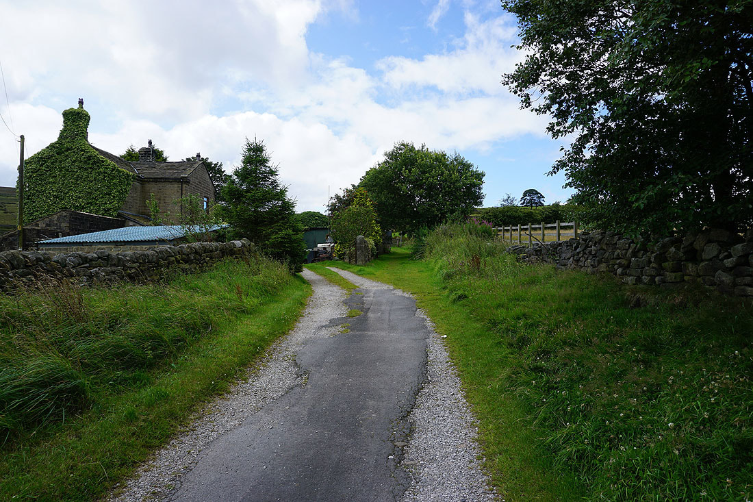
From Penistone Hill Country Park I made my way down to Upper Marsh Lane and onto the trail of the Millennium Way, which I followed from Upper Marsh Farm down to Marsh Lane, down to Rag Clough Beck, up to Shaw Lane, and then up to Stone Lane. From Stone Lane I then followed the bridleway of the Calder/Aire Link west across the hillside of Stones, down to and across Rag Clough Beck, up to Lowerfold Farm and to the track of Bodkin Lane. I then walked down Bodkin Lane, past Leeshaw Reservoir and up to Lee Lane, where I took a footpath on the left up past Westfield Farm to Haworth Moor, and then the track on Haworth Moor west towards Harbour Lodge. Just before Harbour Lodge I left the track for a footpath on the right down to a footbridge across a beck, then onto a path on the left up past Harbour Lodge to Harbour Hill. Below Harbour Hill I took the footpath up onto Oxenhope Stoop Hill and I then followed the moorland ridge over Dick Delf Hill to reach the Pennine Way, which took me north to the ruins of Top Withins. From Top Withins I paid a visit to the trig point on Stanbury Moor and the Alcomden Stones before returning to Top Withins and resuming my journey north on the Pennine Way. I left the Pennine Way on the moorland of The Height for the Bronte Way, which I was going to follow down to Bronte Bridge, but changed my mind and left it for a footpath up to the track down to Back Lane. From Back Lane I took a footpath on the right down to South Dean Beck and up to the Bronte Way on Enshaw Knoll, and from there I followed the Bronte Way and Millennium Way east back to Penistone Hill Country Park.
Total ascent: 1660 ft
OS map used: OL21 - South Pennines
Time taken: 5.5 hrs
Route description: Penistone Hill Country Park-Upper Marsh Farm-Marsh Lane-Millennium Way-Shaw Lane-Millennium Way-Stone Lane-Calder/Aire Link-Bodkin Lane-Lee Lane-Westfield Farm-Haworth Moor-Harbour Lodge-Oxenhope Stoop Hill-Dick Delf Hill-Pennine Way-Top Withins-Stanbury Moor-Alcomden Stones-Stanbury Moor-Top Withins-Pennine Way-Bronte Way-Back Lane-South Dean Beck-Bronte Way-Millennium Way-Penistone Hill Country Park
After last weekend's changeable and rather unseasonable weather this weekend isn't much better, so I've stayed close to home again and made the short drive across the moors to the Worth Valley for another walk on the Bronte moors. Starting from Penistone Hill Country Park again I planned a route to the south and west of the one that I did last weekend, taking in familiar paths across the countryside around Rag Clough Beck, Haworth Moor and Stanbury Moor. There was a mixture of cloud and sunny spells, and a strong westerly wind for enjoying the views from the moors, with that from Stanbury Moor especially good. With great visibility the distant fells in the Yorkshire Dales can be seen.
From Penistone Hill Country Park I made my way down to Upper Marsh Lane and onto the trail of the Millennium Way, which I followed from Upper Marsh Farm down to Marsh Lane, down to Rag Clough Beck, up to Shaw Lane, and then up to Stone Lane. From Stone Lane I then followed the bridleway of the Calder/Aire Link west across the hillside of Stones, down to and across Rag Clough Beck, up to Lowerfold Farm and to the track of Bodkin Lane. I then walked down Bodkin Lane, past Leeshaw Reservoir and up to Lee Lane, where I took a footpath on the left up past Westfield Farm to Haworth Moor, and then the track on Haworth Moor west towards Harbour Lodge. Just before Harbour Lodge I left the track for a footpath on the right down to a footbridge across a beck, then onto a path on the left up past Harbour Lodge to Harbour Hill. Below Harbour Hill I took the footpath up onto Oxenhope Stoop Hill and I then followed the moorland ridge over Dick Delf Hill to reach the Pennine Way, which took me north to the ruins of Top Withins. From Top Withins I paid a visit to the trig point on Stanbury Moor and the Alcomden Stones before returning to Top Withins and resuming my journey north on the Pennine Way. I left the Pennine Way on the moorland of The Height for the Bronte Way, which I was going to follow down to Bronte Bridge, but changed my mind and left it for a footpath up to the track down to Back Lane. From Back Lane I took a footpath on the right down to South Dean Beck and up to the Bronte Way on Enshaw Knoll, and from there I followed the Bronte Way and Millennium Way east back to Penistone Hill Country Park.
Route map
© Crown copyright. All rights reserved. License number PU 100034184.
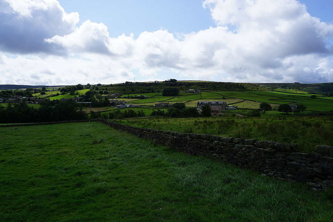
The hillside of Bentley Hey in the distance as I leave Penistone Hill Country Park
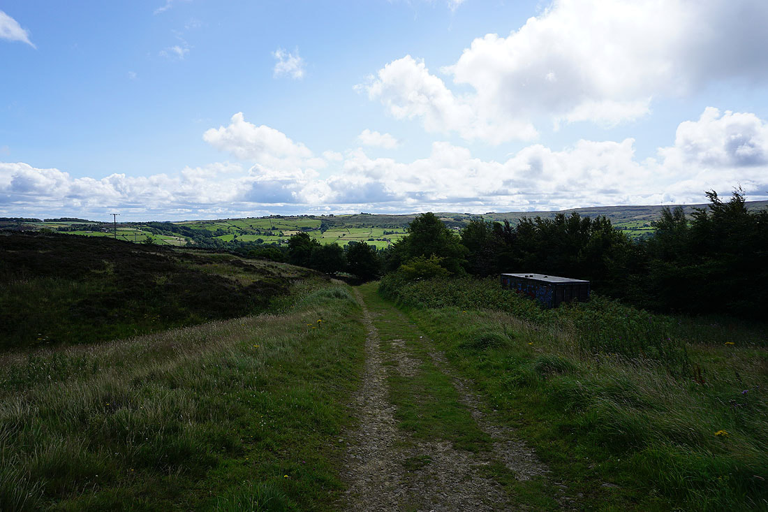
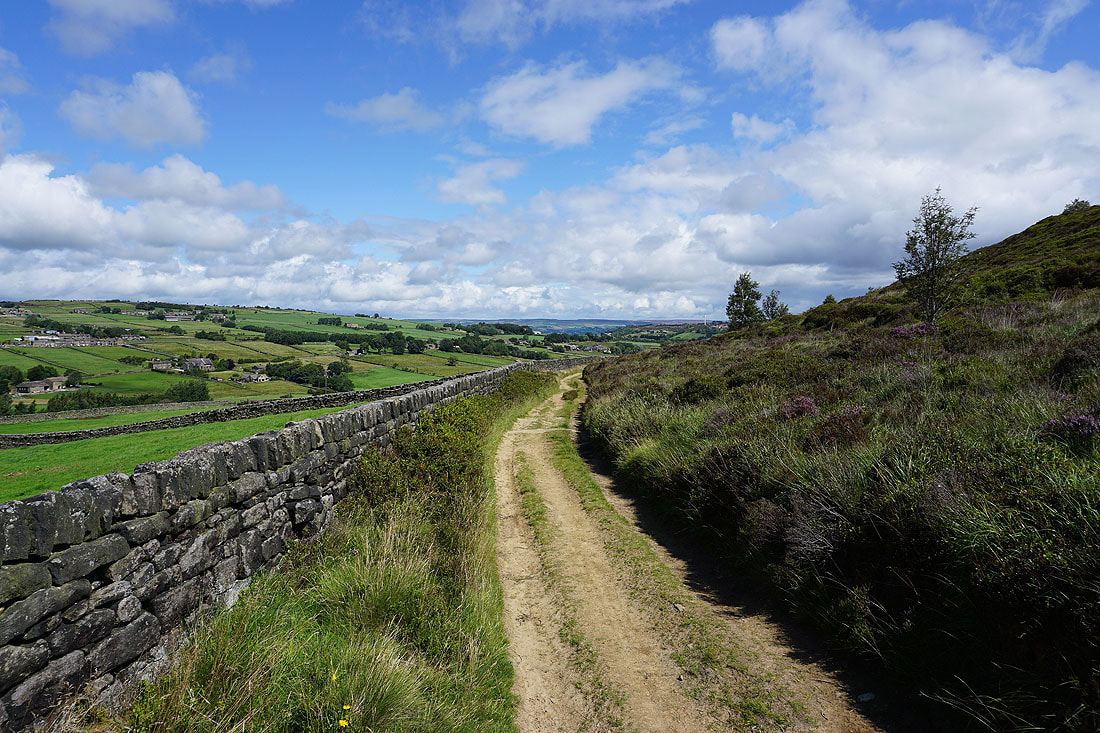
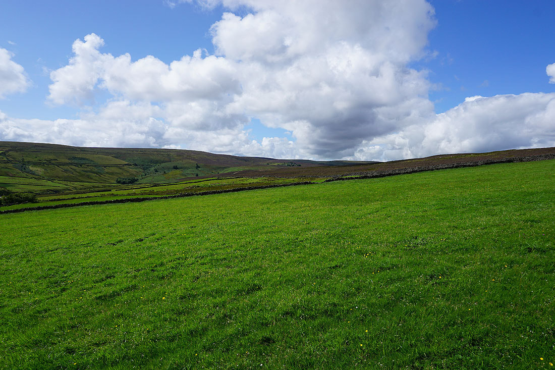
Oxenhope Moor ahead as I follow the footpath from Upper Marsh Farm down to Marsh Lane
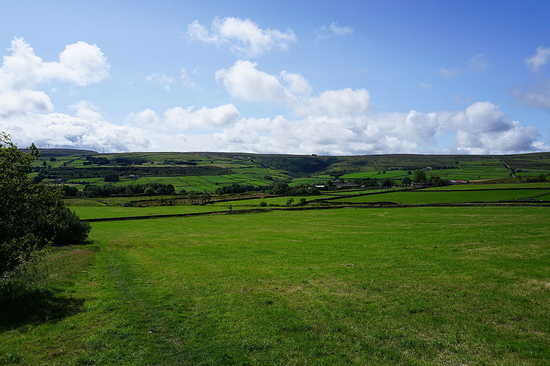
Blue skies above
The hillside of Stones ahead as I head down to cross Rag Clough Beck
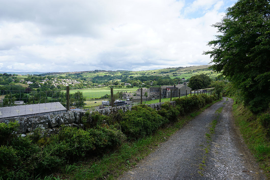
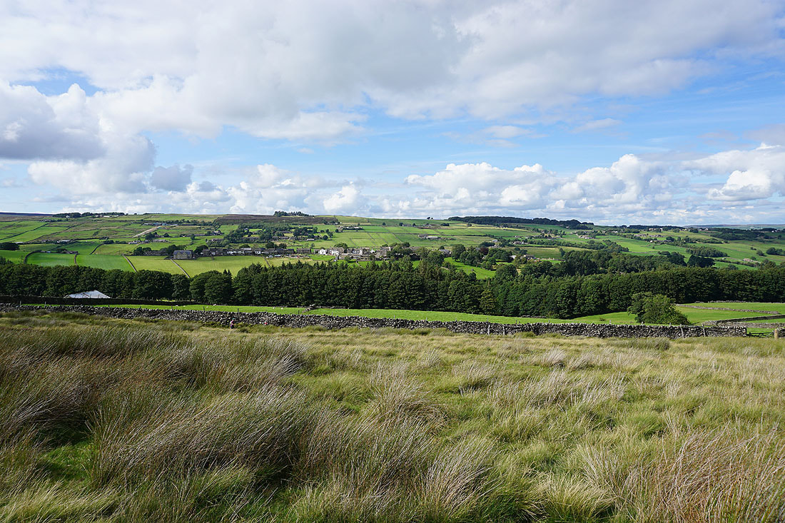
Oxenhope from the bridleway onto the hillside of Stones
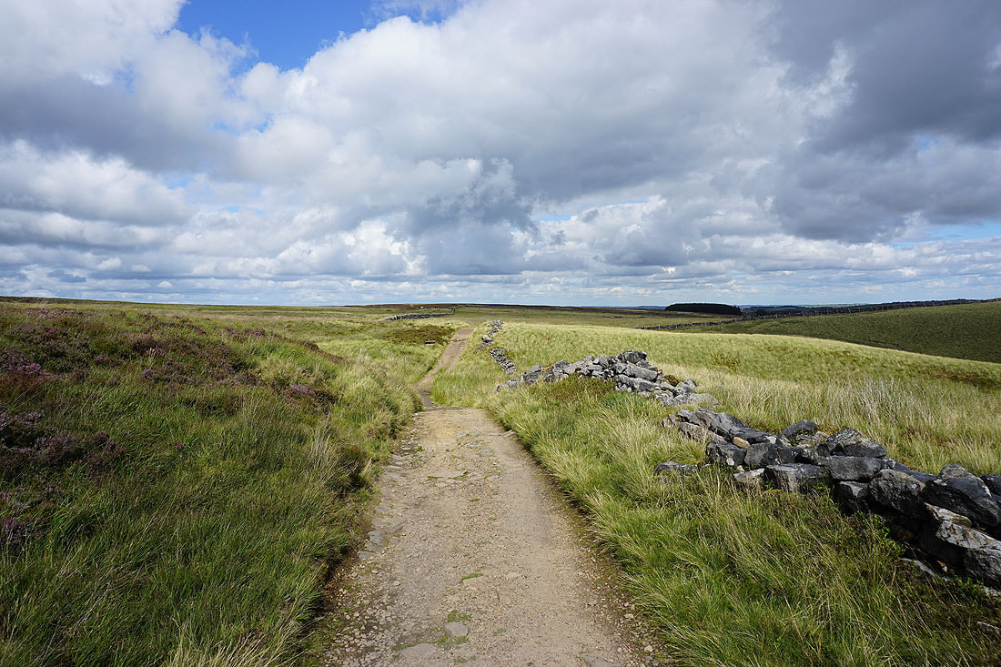
Following the bridleway west across the heather clad hillside of Stones
A great view looking across to Penistone Hill..
..and back along the bridleway towards Oxenhope
The bridleway takes me down to and across Rag Clough Beck...
..and past Lowerfold
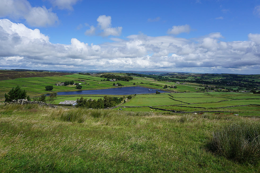
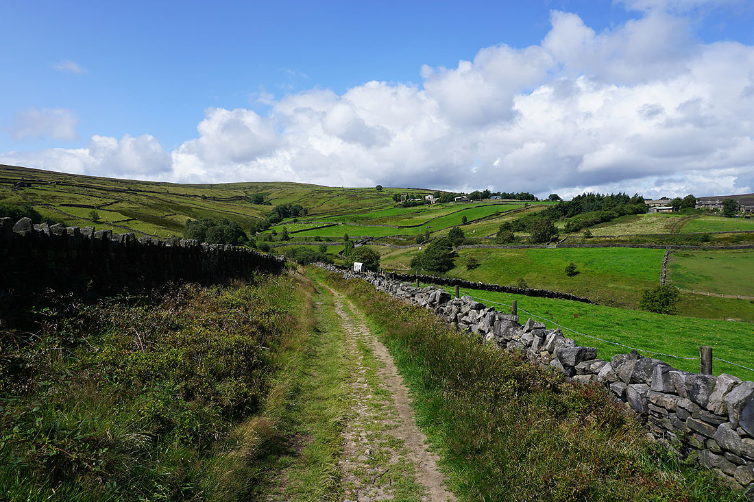
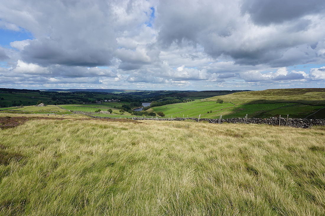
Leeshaw Reservoir below from the bridleway west to Bodkin Lane
Leeshaw Reservoir as I head down Bodkin Lane
Leeshaw Reservoir from the footpath up past Westfield Farm to Haworth Moor
Stairs Hill and Oxenhope Stoop Hill
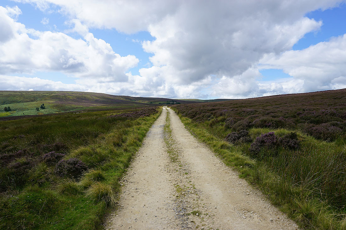
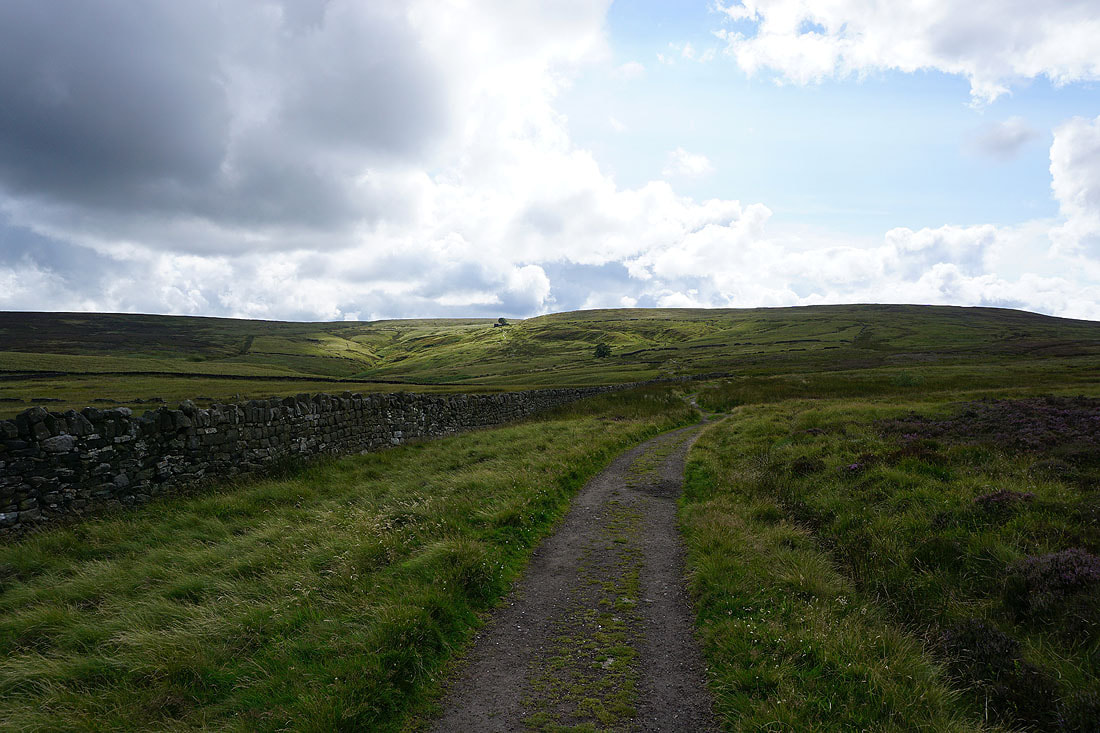
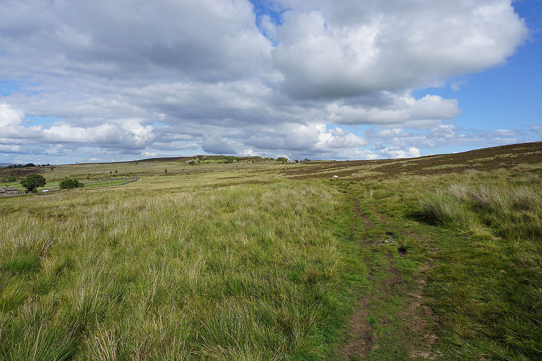
On the track across Haworth Moor to Harbour Lodge
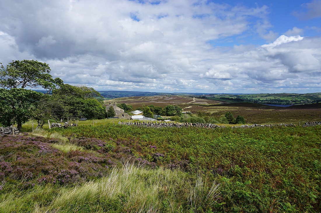
Haworth Moor from above Harbour Lodge
On the footpath past Harbour Hill
Looking back past Harbour Hill as I take the footpath up onto Oxenhope Stoop Hill
Nab Hill and Oxenhope Moor from the boundary stone on Oxenhope Stoop Hill
Looking south across the moors around Calderdale
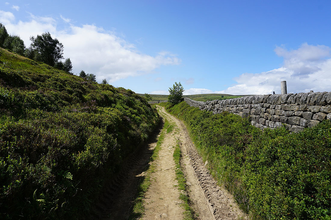
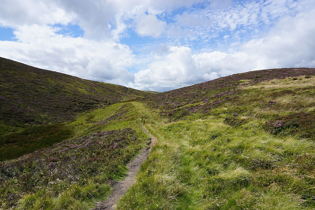
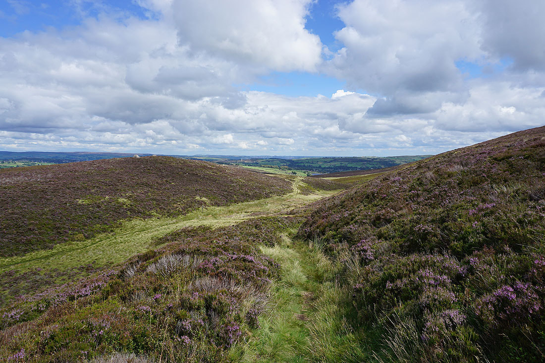
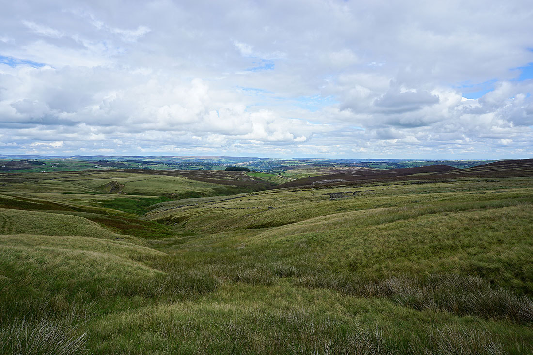
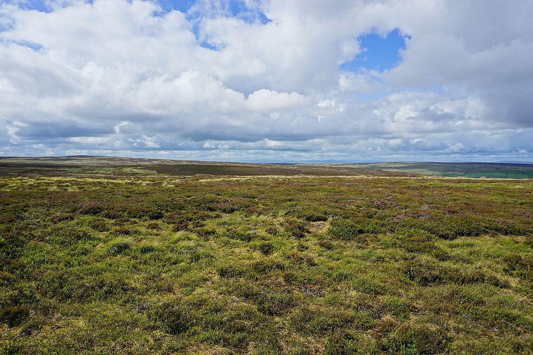
Heading west across Dick Delf Hill
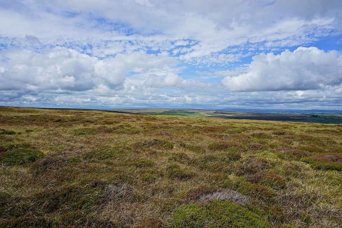
There's a great view from up here across the nearby moorland to those around Wharfedale
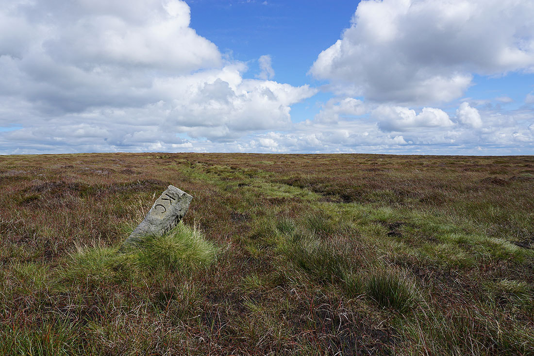
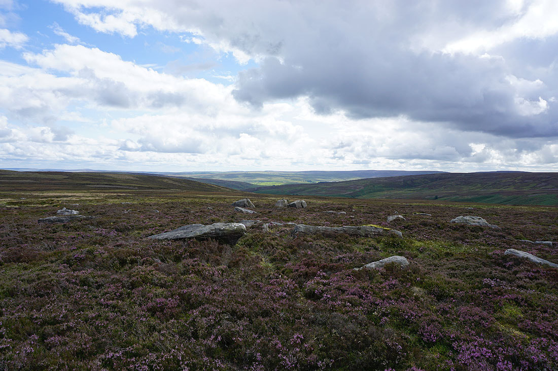
The boundary stone on Dick Delf Hill
Looking towards the moorland around Calderdale as I join the Pennine Way
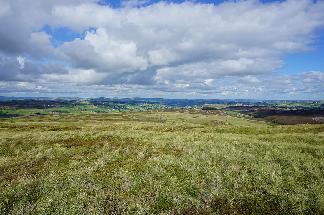
I have a great view as I follow the Pennine Way towards Top Withins
As well as across the moors of Bronte Country
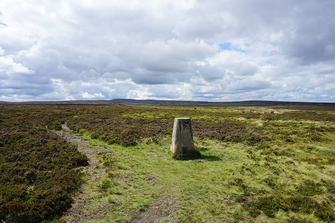
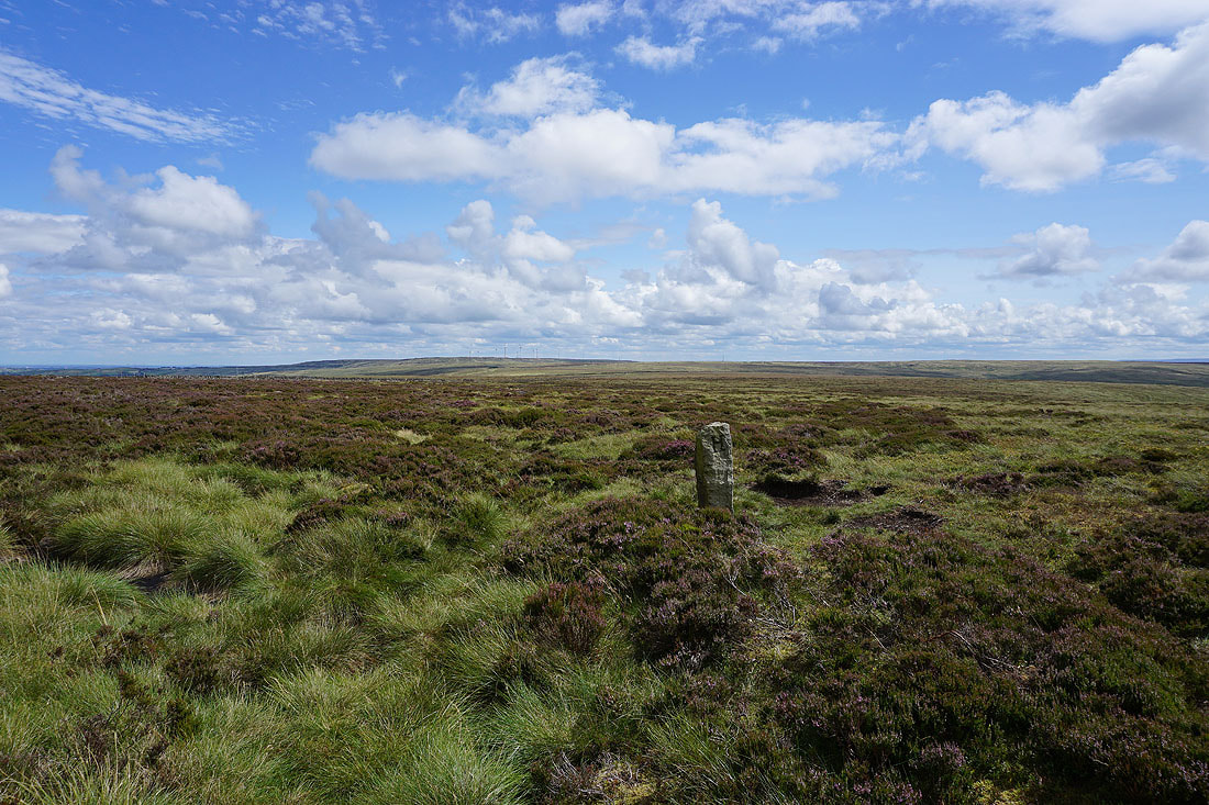
I go straight past Top Withins and on to the trig point on Stanbury Moor. Looking west towards Boulsworth Hill and Crow Hill.
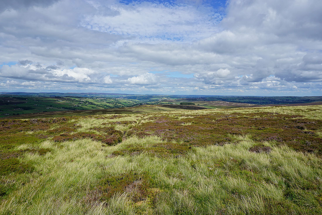
The moorland around Wharfedale and Airedale in the distance beyond the nearby moors of Bronte Country..
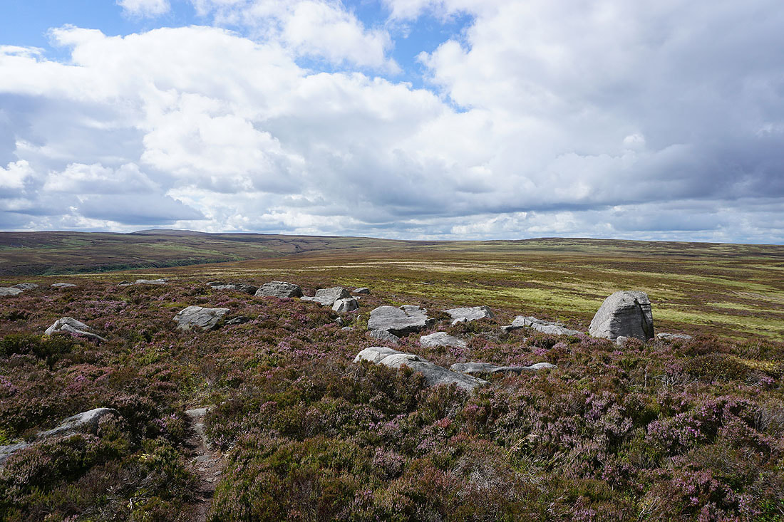
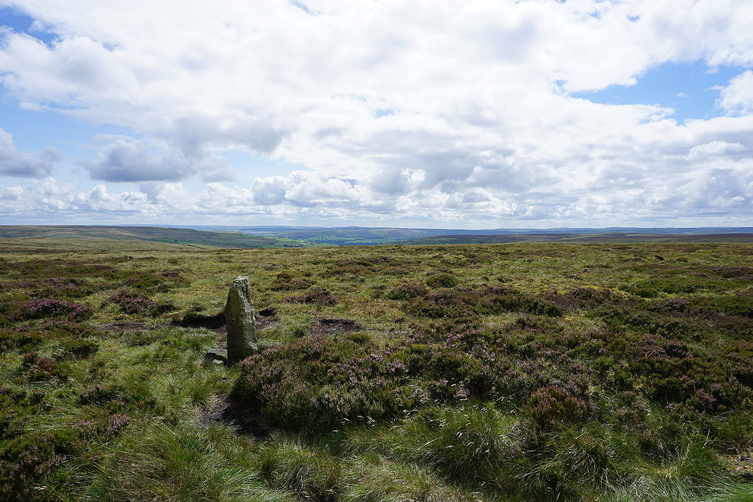
I've made my way to the Alcomden Stones from the trig point on Stanbury Moor. Boulsworth Hill and Crow Hill to the west.
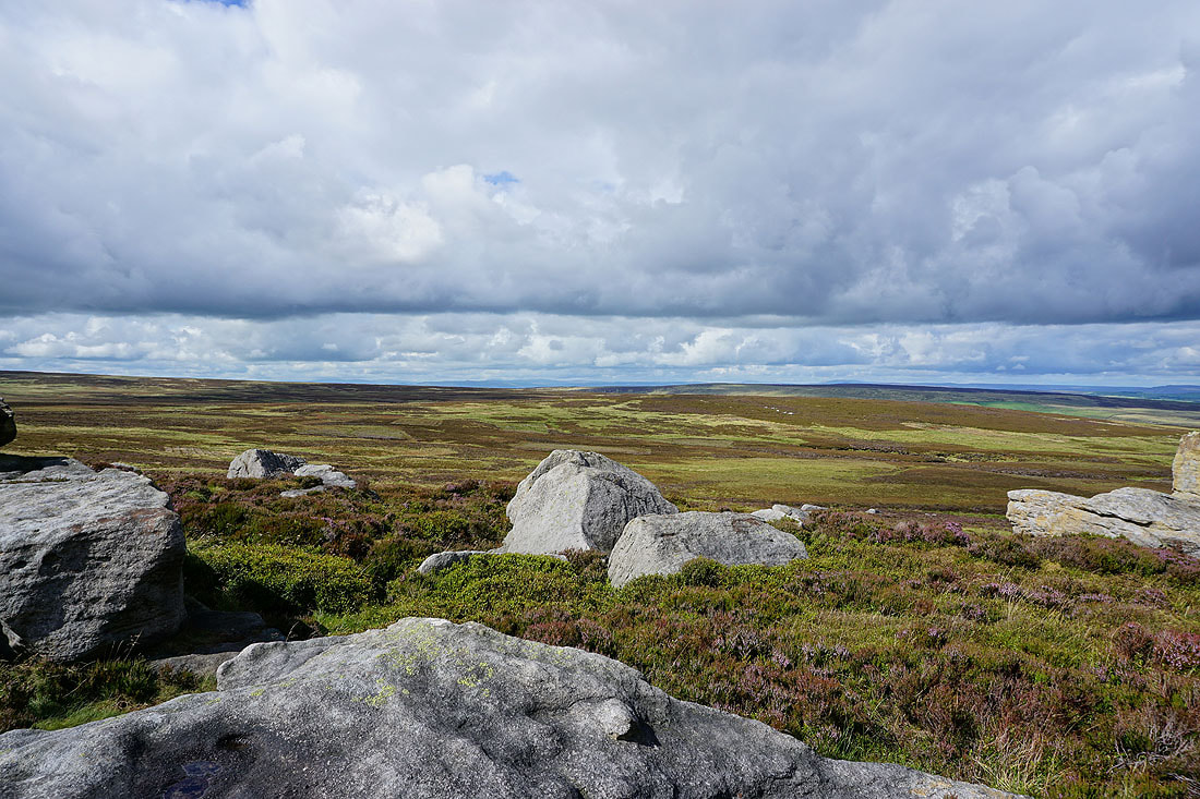
I can just about make out Ingleborough, Penyghent, Buckden Pike and Great Whernside to the north beyond the moorland of Wolf Stones
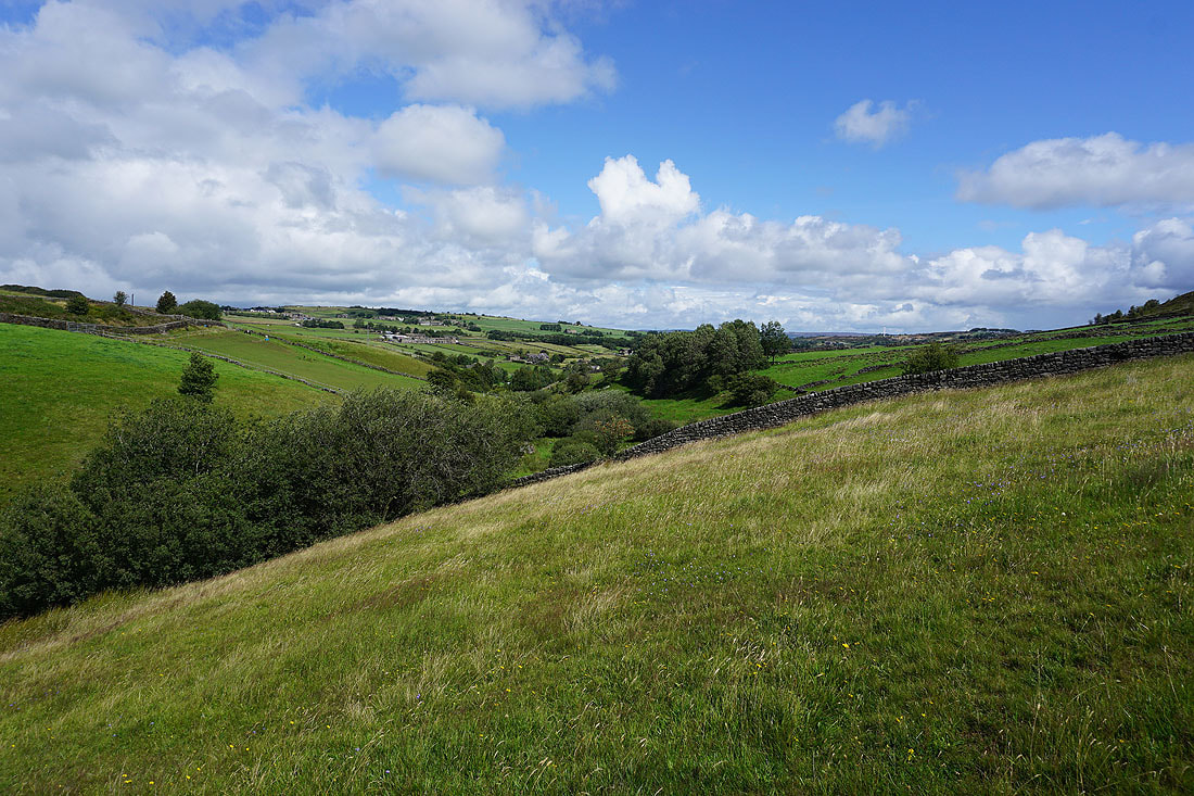
Looking down Middle Moor Clough to Ponden Clough and to Oakworth Moor
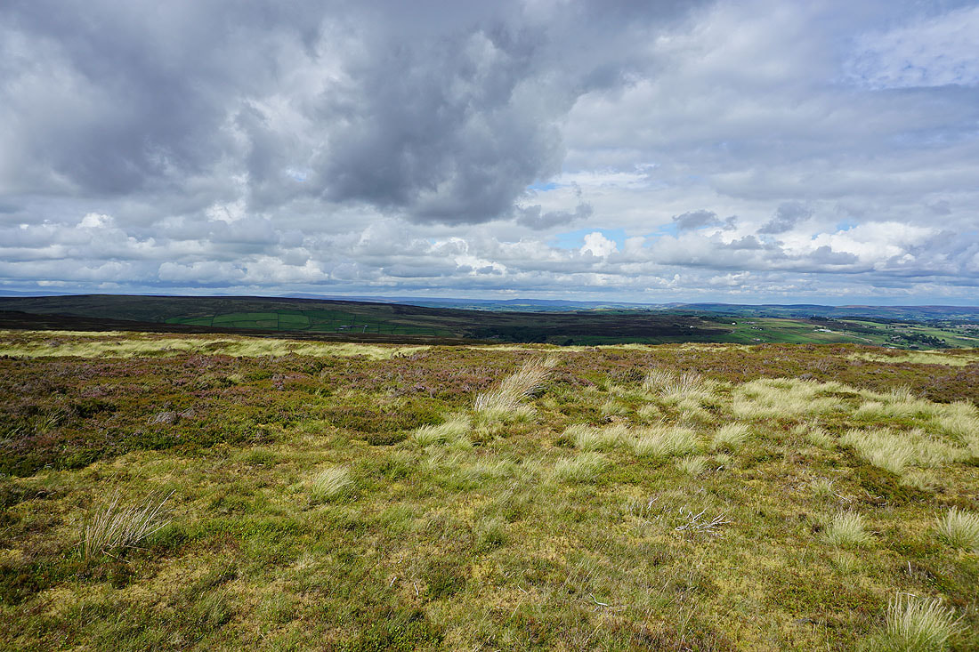
The moorland around Hebden Dale to the southwest
Fantastic views of the moorland around Wharfedale and Airedale in the distance beyond the nearby moors of Bronte Country as I head back to Top Withins..
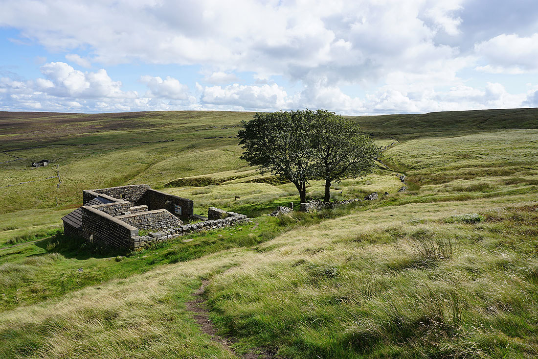
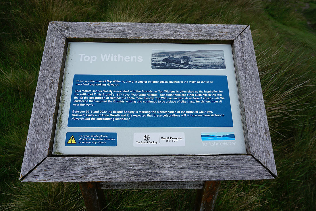
Back at the ruins of Top Withins..
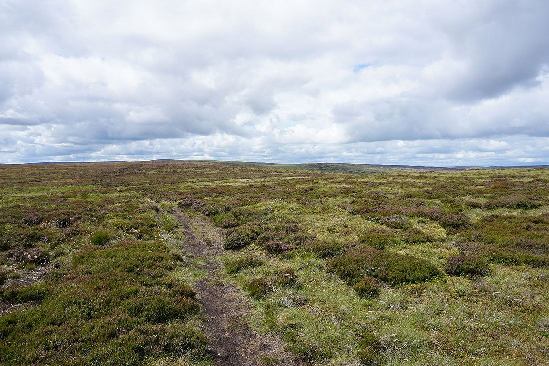
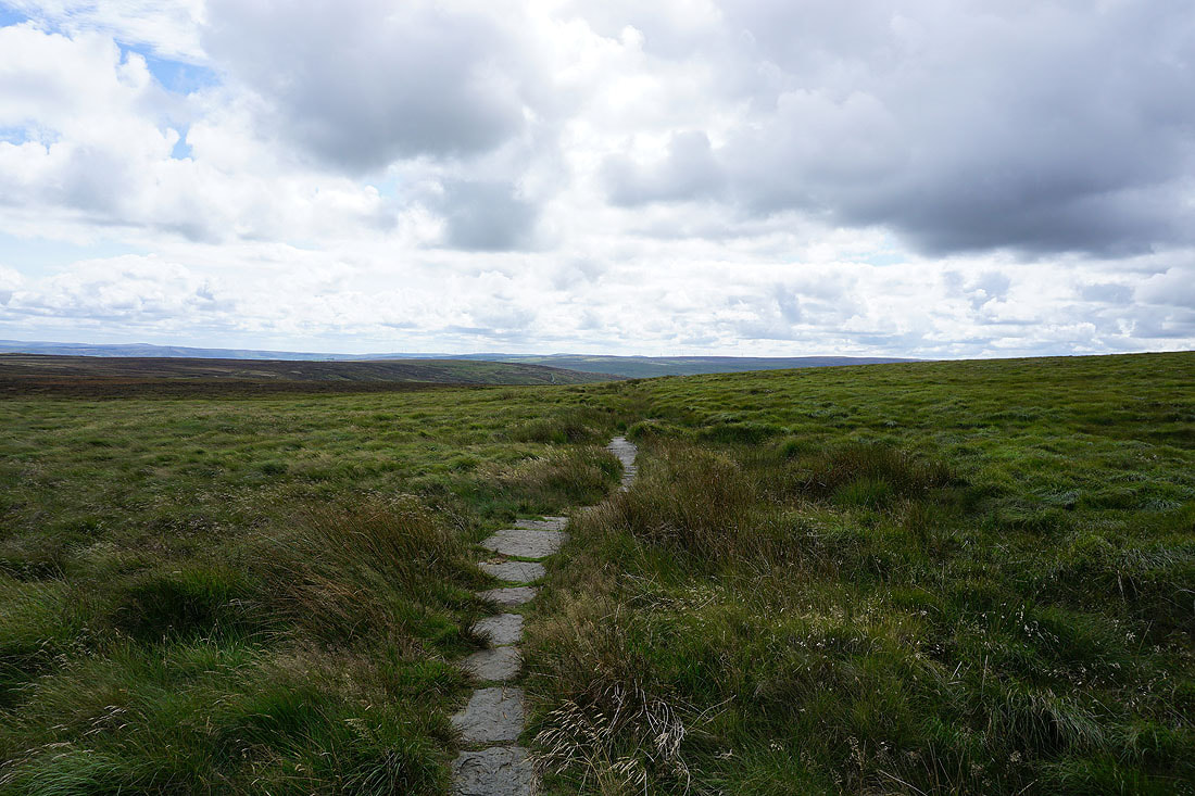
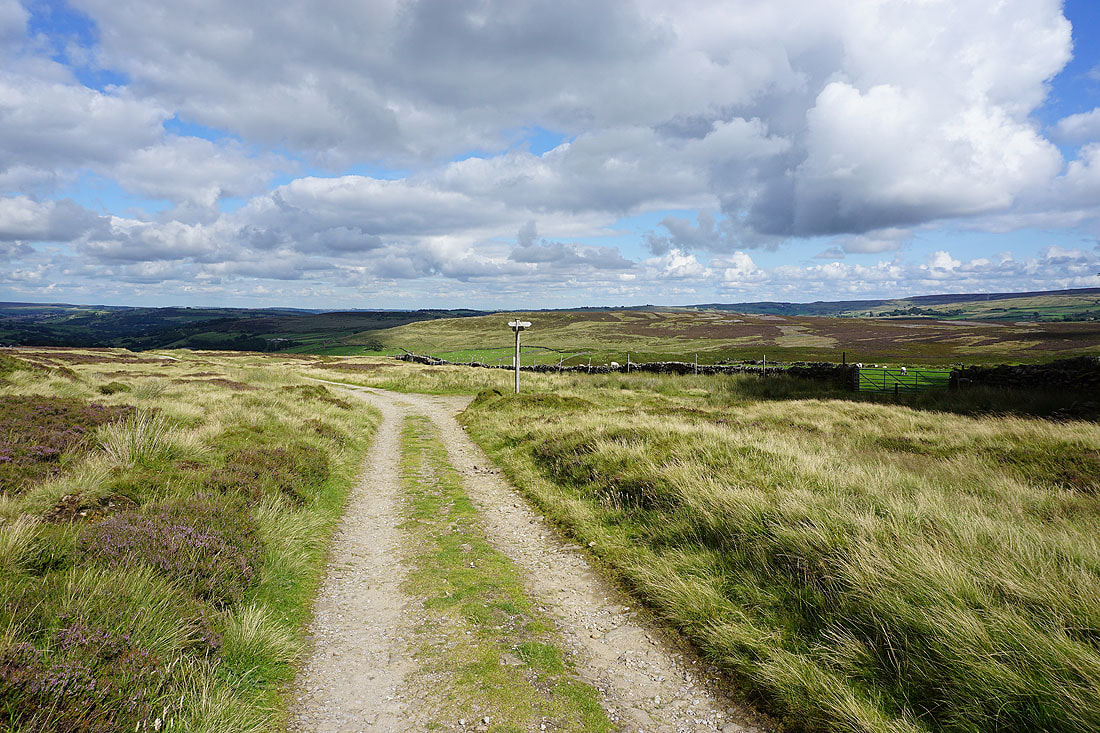
Following the Pennine Way east to the moorland of The Height
Looking back to Top Withins in its moorland setting
I leave the Pennine Way and turn right onto the Bronte Way
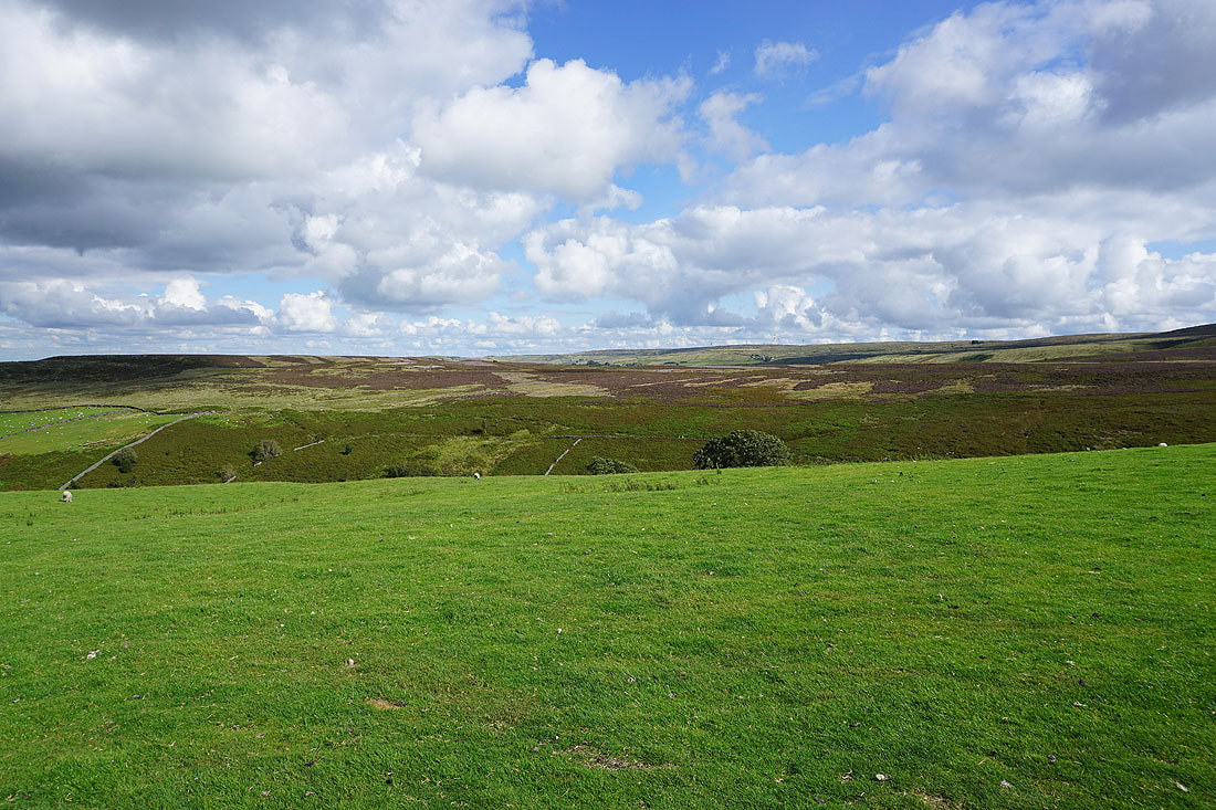
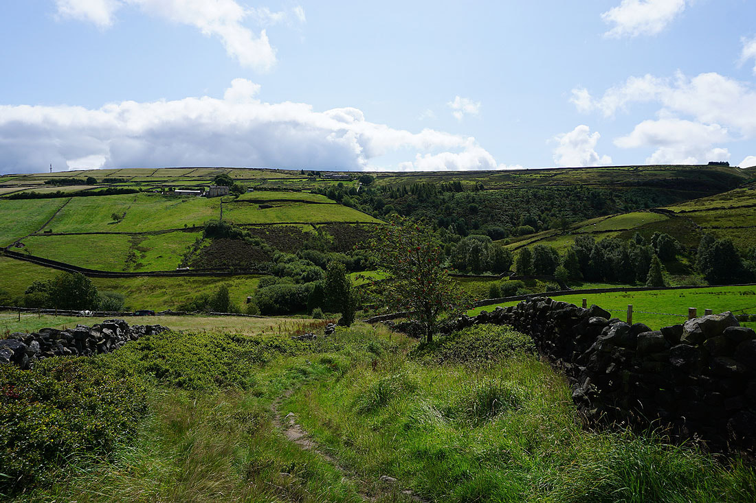
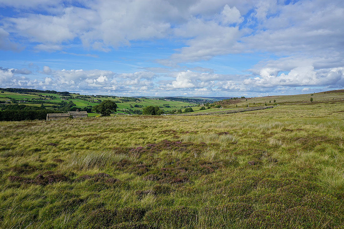
Haworth Moor on the other side of the valley of South Dean Beck
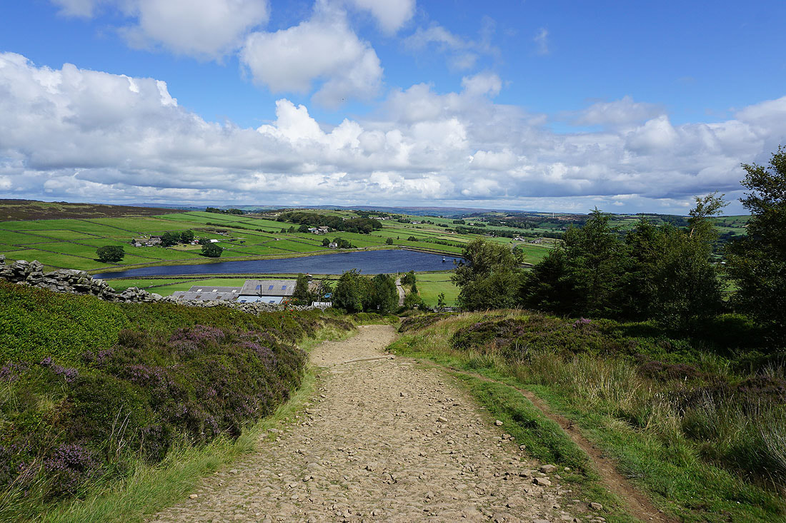
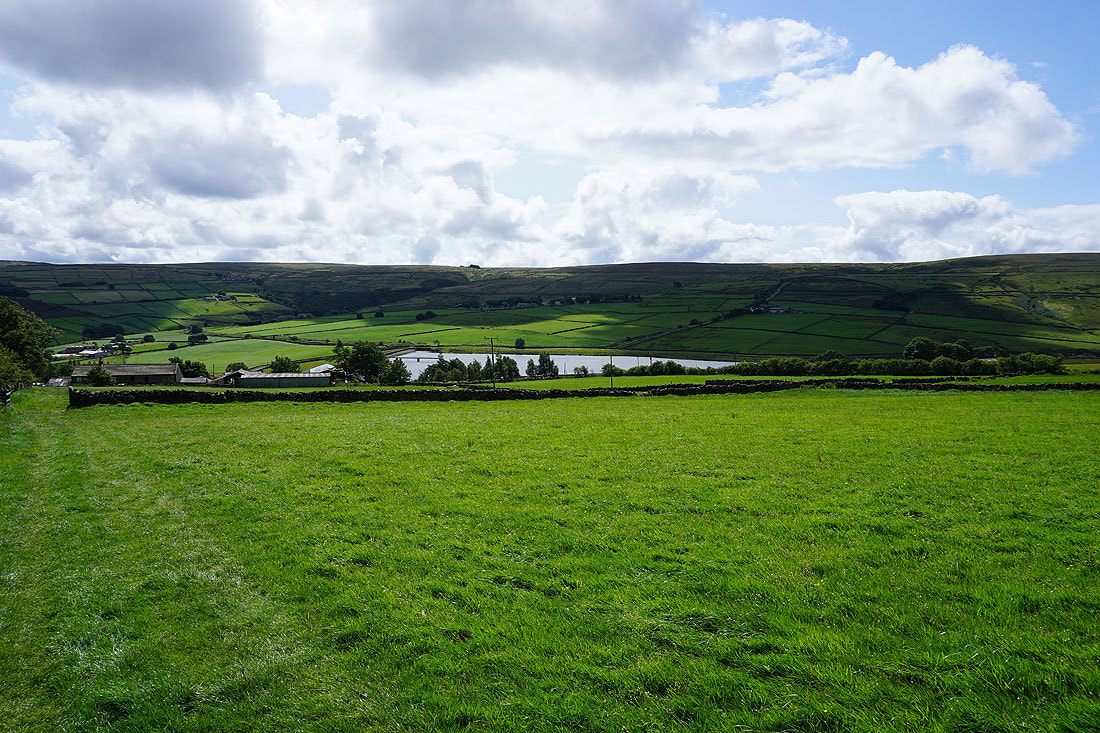
Looking towards Stanbury and Lower Laithe Reservoir
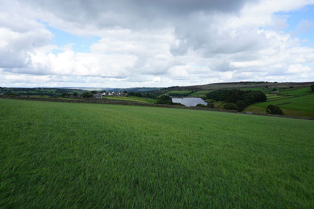
Stanbury and Lower Laithe Reservoir as I head down to..
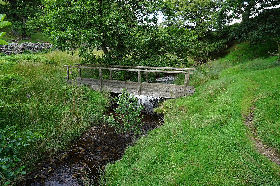
..cross South Dean Beck
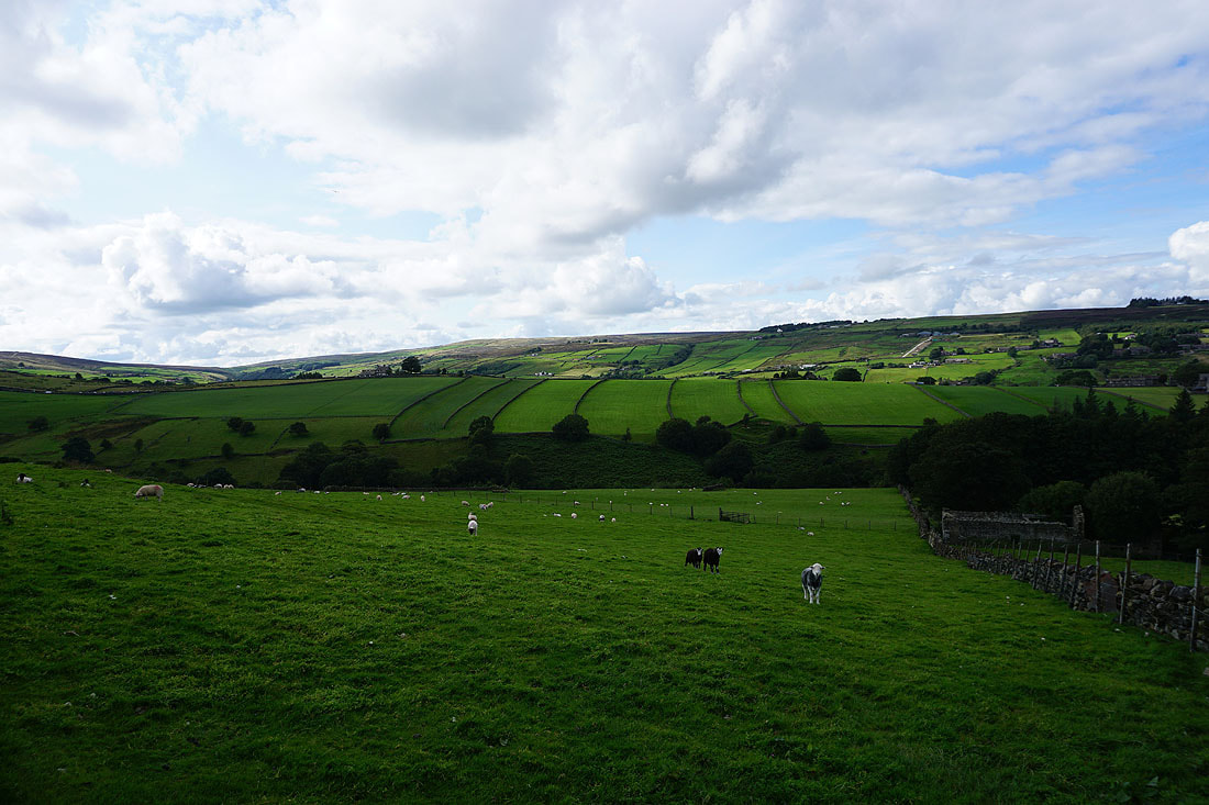
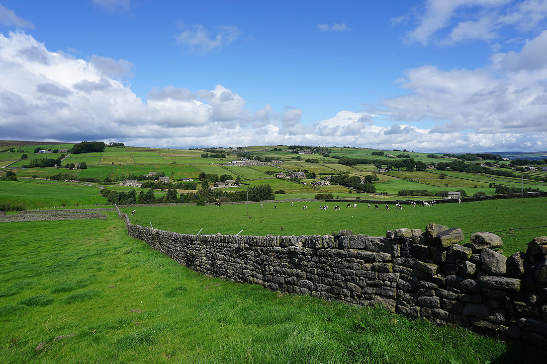
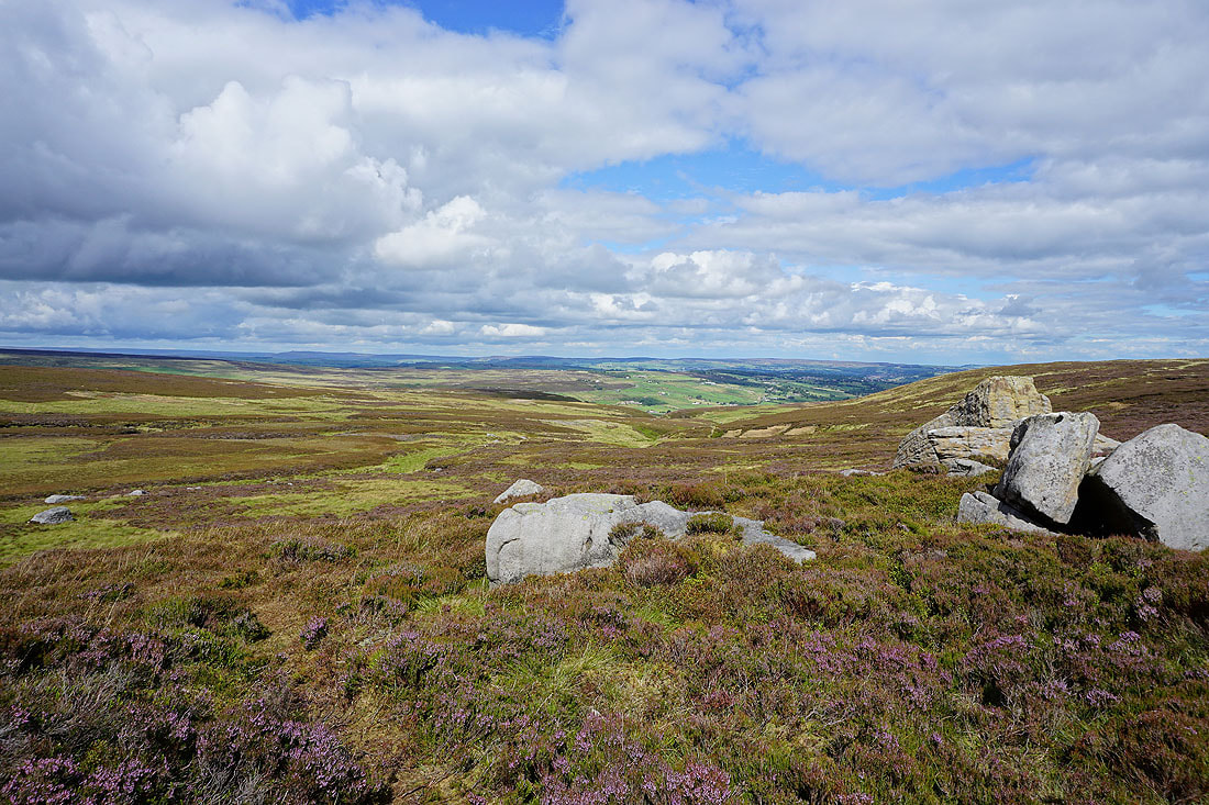
Looking back to the moorland of The Height with Oakworth Moor in the distance
Looking across to Stanbury
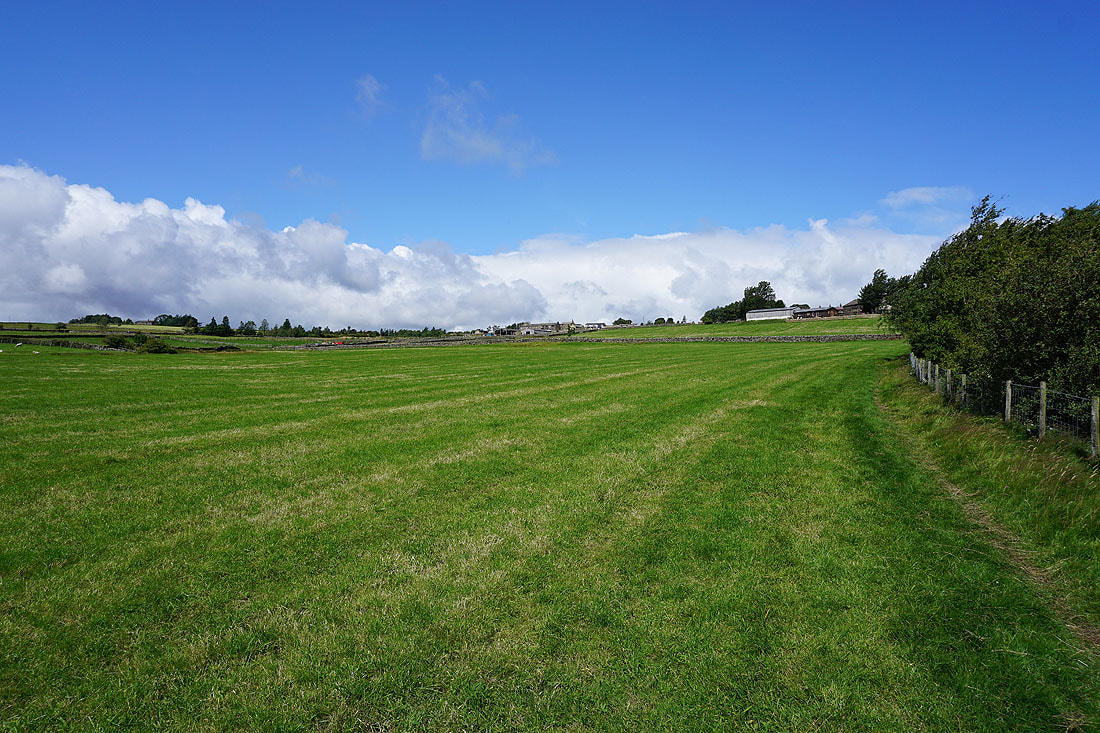
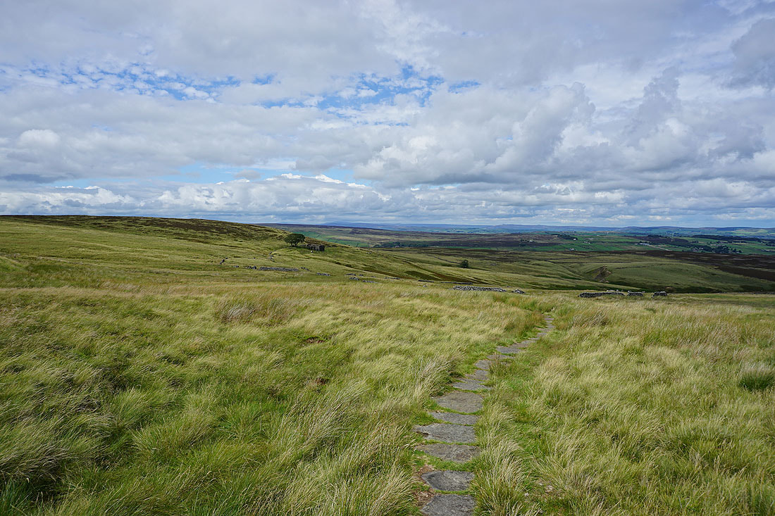
Following the Bronte Way back to Penistone Hill Country Park
A last shot looking down the Worth Valley towards Oakworth