2nd December 2012 - Penyghent
Walk Details
Distance walked: 5.9 miles
Total ascent: 1628 ft
OS map used: OL2 - Yorkshire Dales, Southern & Western areas
Time taken: 5 hrs
Route description: Horton in Ribblesdale-Brackenbottom-Pennine Way-Penyghent-Pennine Way-Horton in Ribblesdale
A fine winters day for this ascent of Penyghent. I went by the popular routes.
From Horton I took the lane to Brackenbottom and then the path that heads up the hillside to the Pennine Way. The Pennine Way was followed up Penyghent and then back to Horton.
Route map
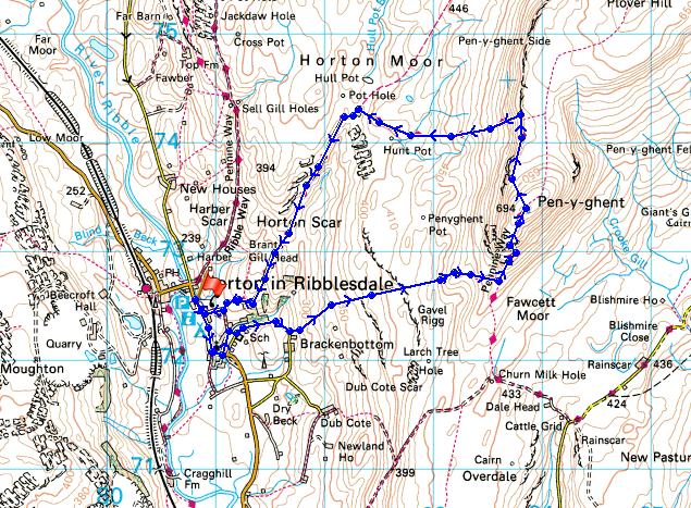
© Crown copyright. All rights reserved. License number PU 100034184.
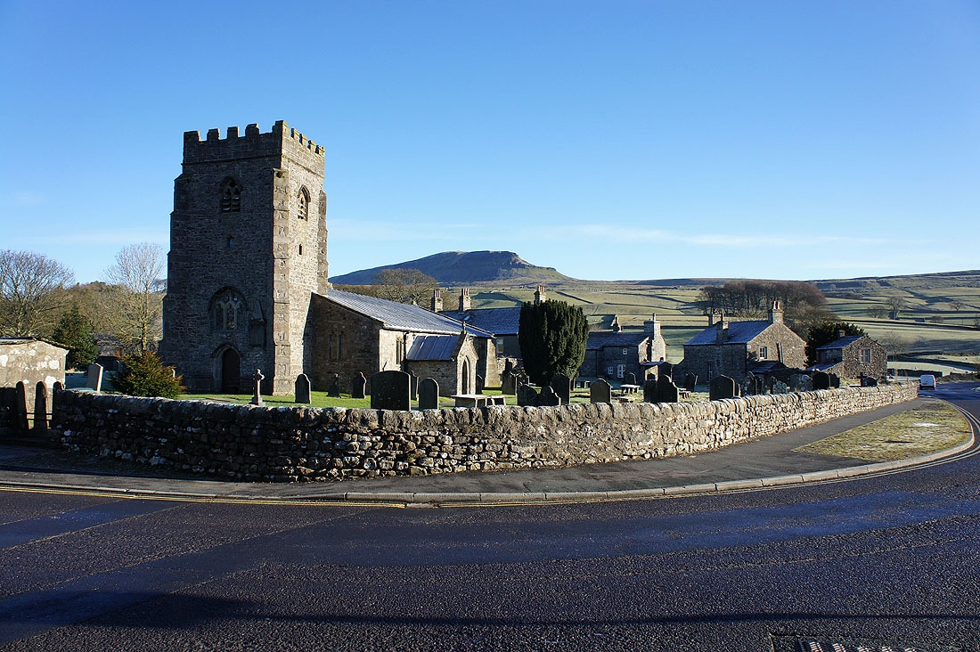
A fine morning in Horton with my objective for the day, Penyghent, looking magnificent
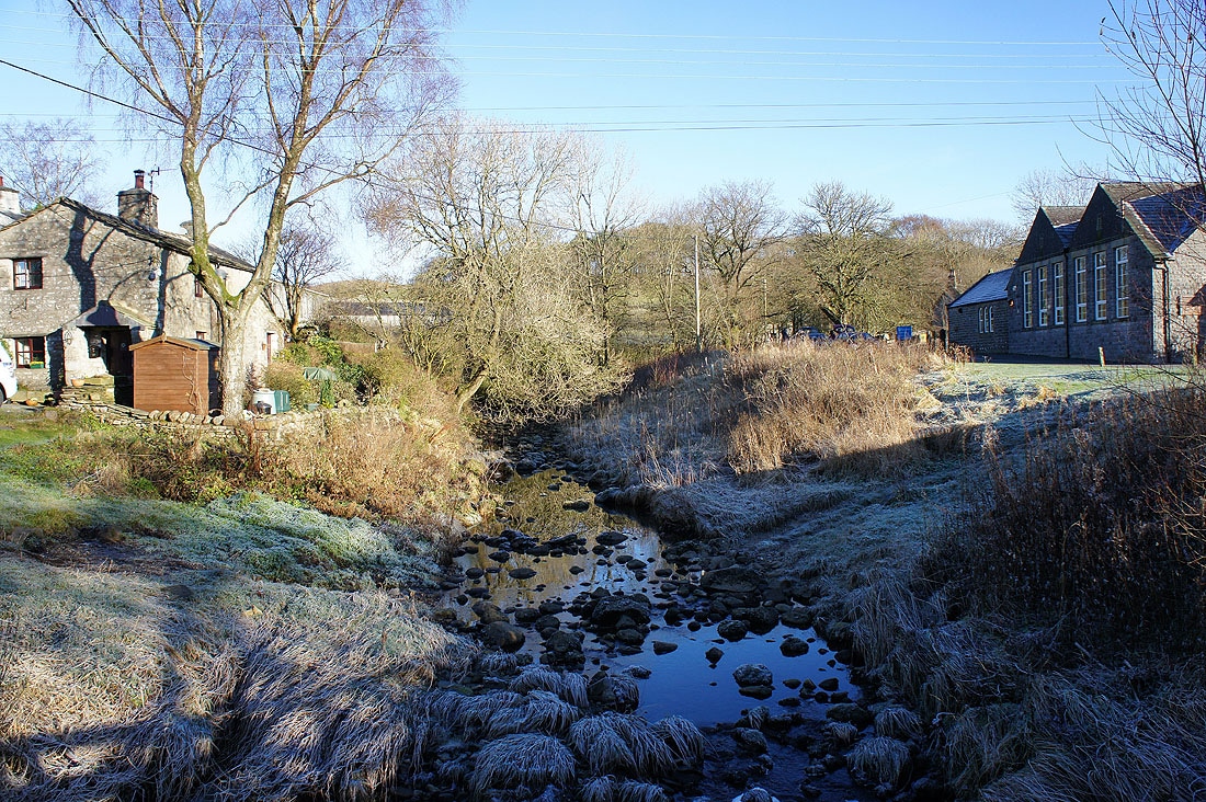
Crossing a footbridge over Douk Ghyll Beck as I head for Brackenbottom. At least I think that's what it's called, there's no name on the map but it emerges from..
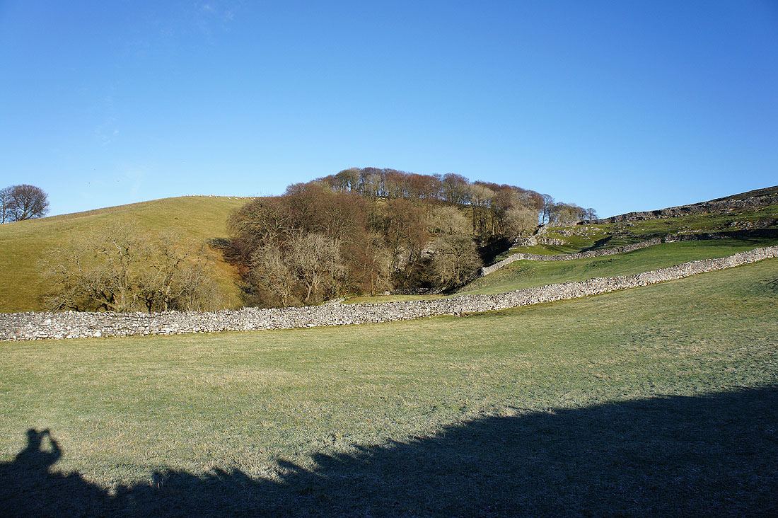
..Douk Ghyll Scar
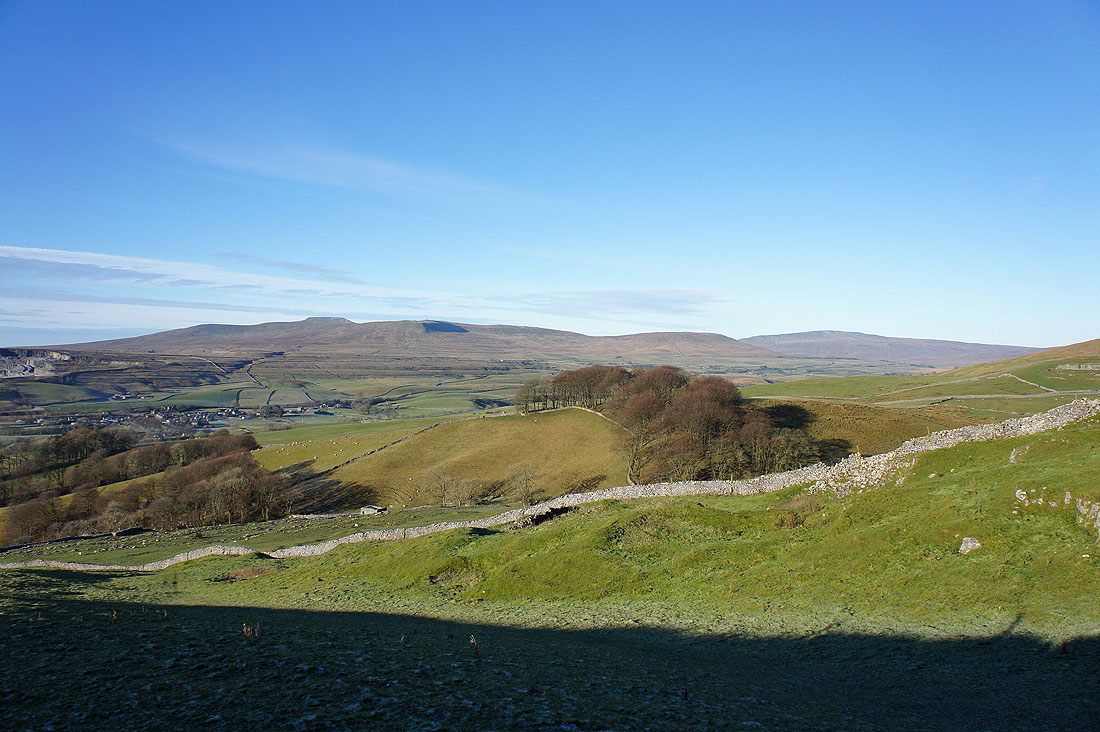
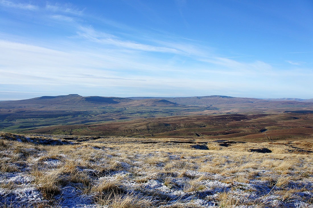
Ingleborough and Whernside across Ribblesdale
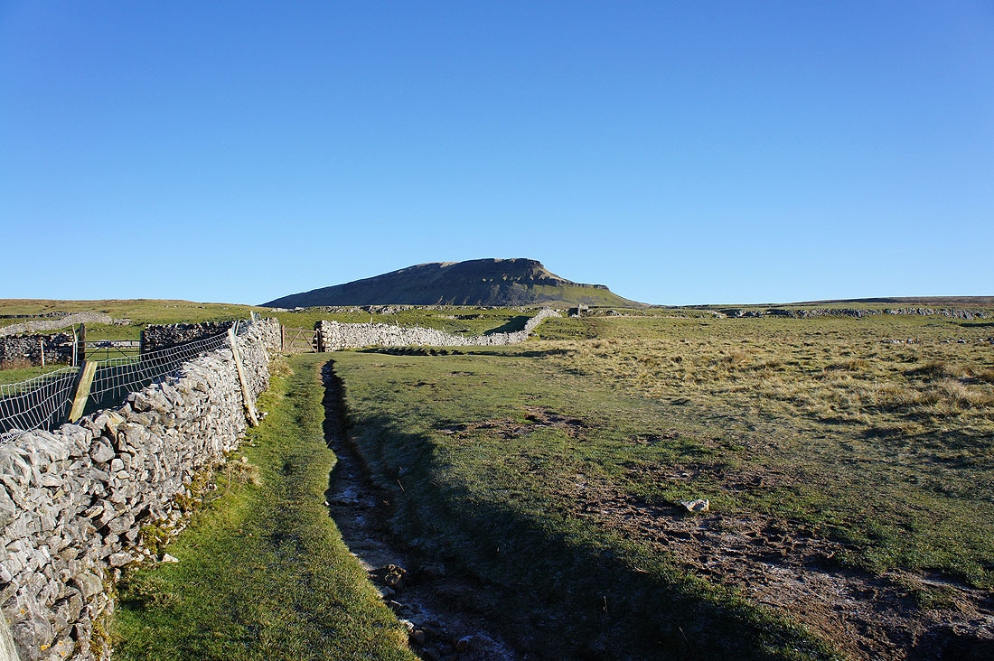
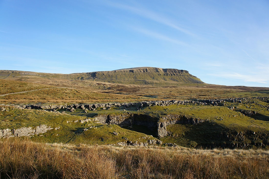
Penyghent comes into view
Getting closer
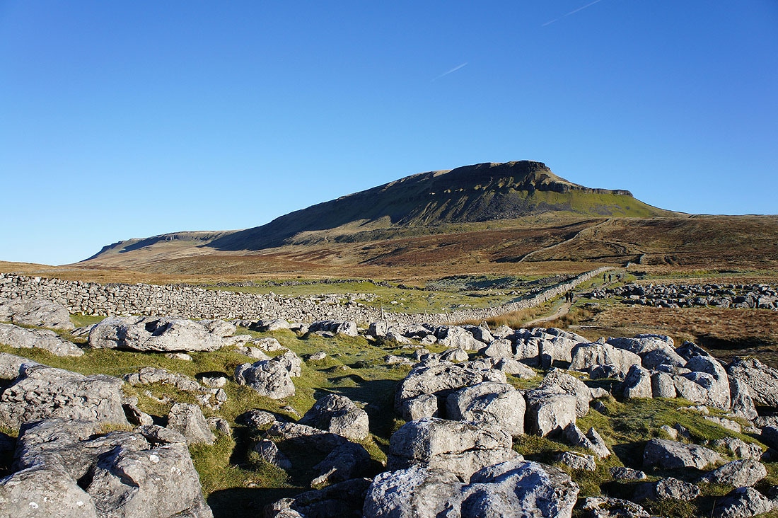
Looming large
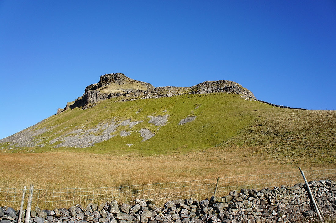
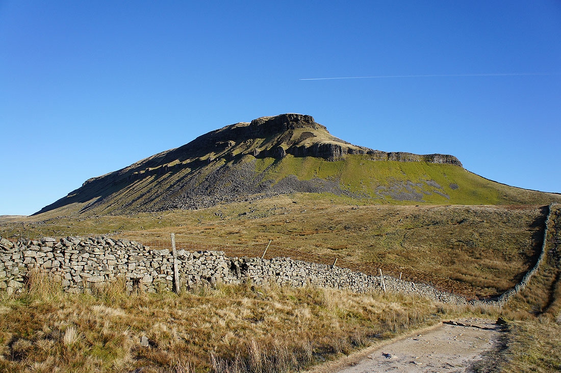
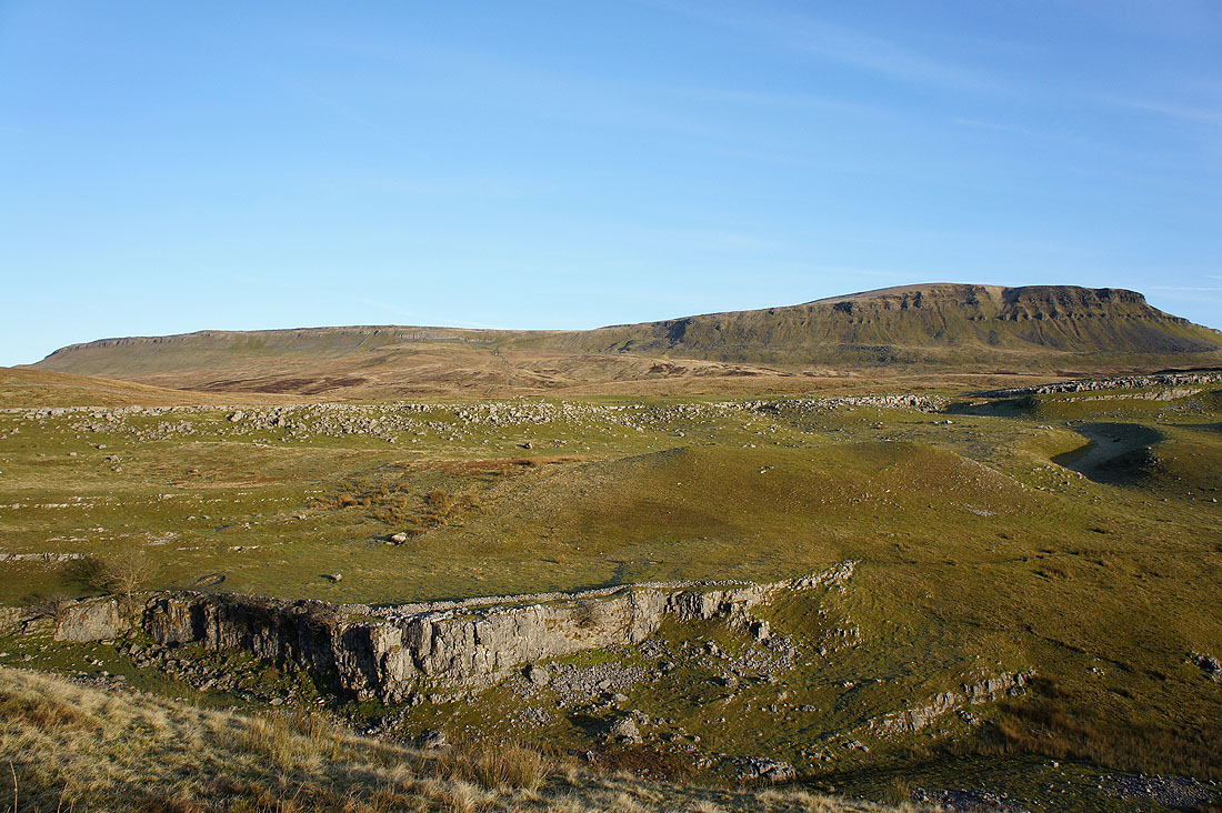
The first tier of cliffs just above
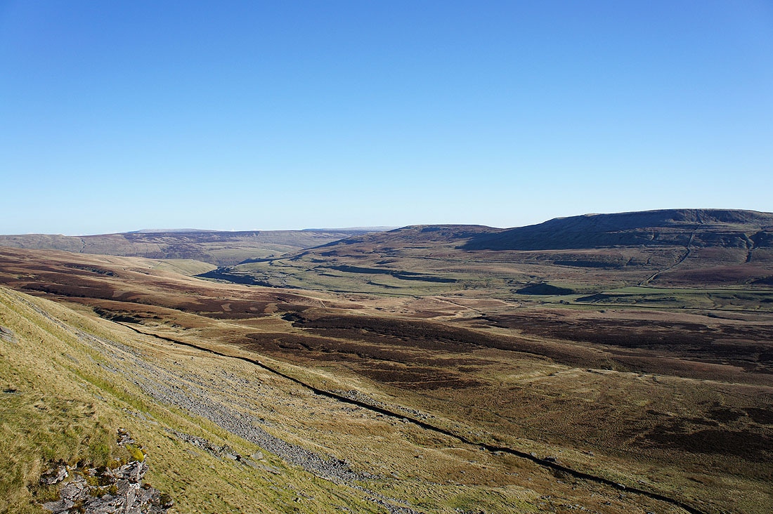
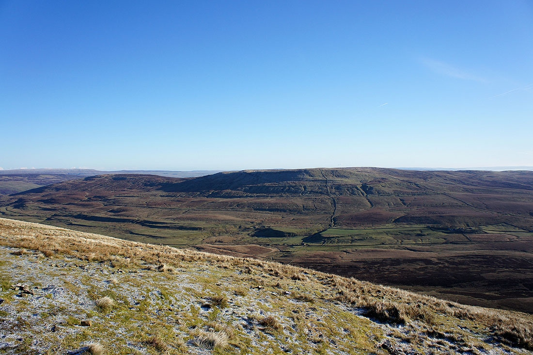
A brief pause during the climb to admire this view down the valley of Penyghent Gill as it heads for Littondale with Darnbrook Fell and Fountains Fell across on the right
On the summit of Penyghent. I'm looking across to Buckden Pike, Great Whernside and Birks Fell above upper Wharfedale.
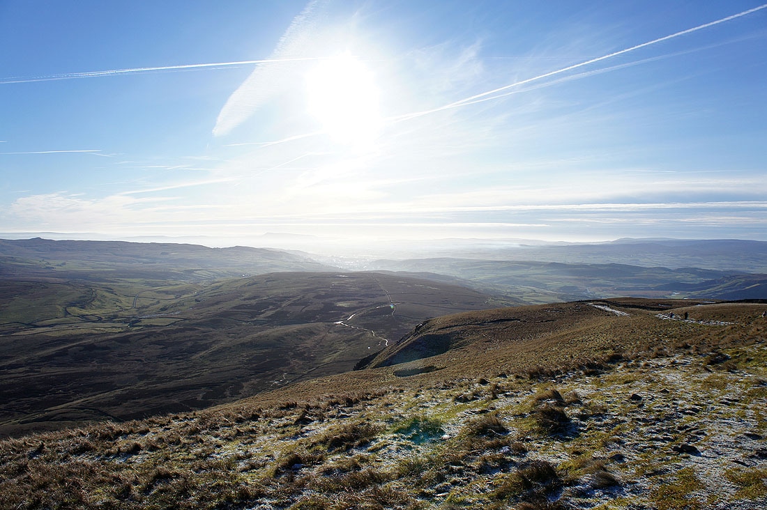
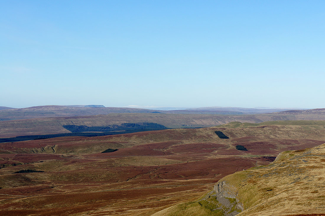
Looking down Ribblesdale and I can just make out Pendle Hill through the mist
Darnbrook Fell and Fountains Fell
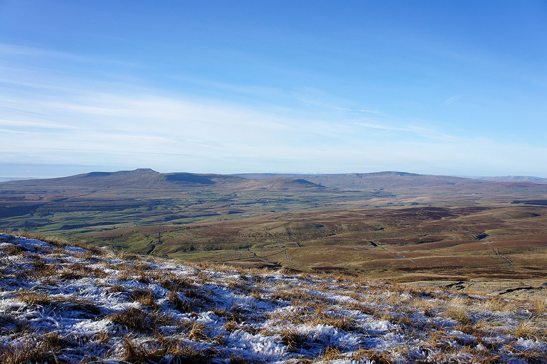
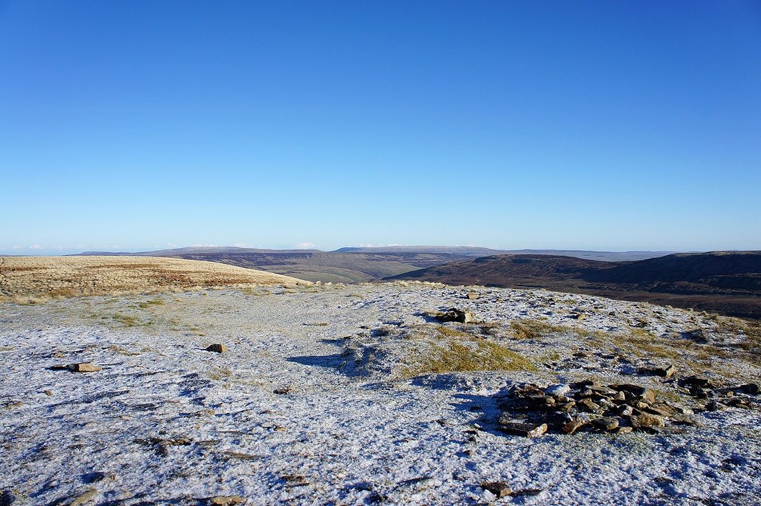
I've crossed the wall that runs over the summit to get the view from this side. Ingleborough and Whernside across Ribblesdale.
A close up to the left of Whernside reveals some snow covered Lake District fells
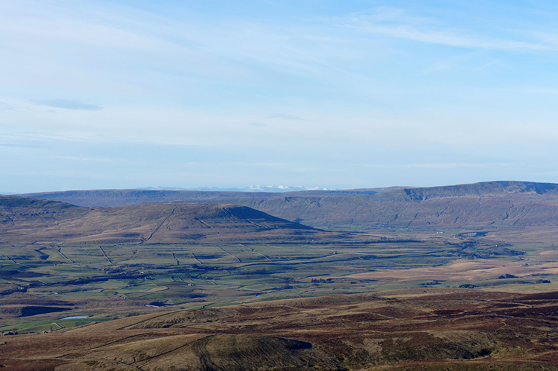
Whernside, the Howgills, Baugh Fell and Wild Boar Fell
Zooming in and to the right of Wild Boar Fell I can make out a snow covered Cross Fell in the distance
I couldn't resist taking another photo of the view across Ribblesdale with the frost covered grass in the foreground
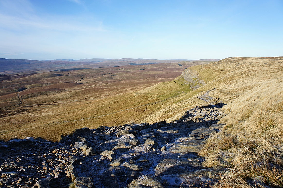
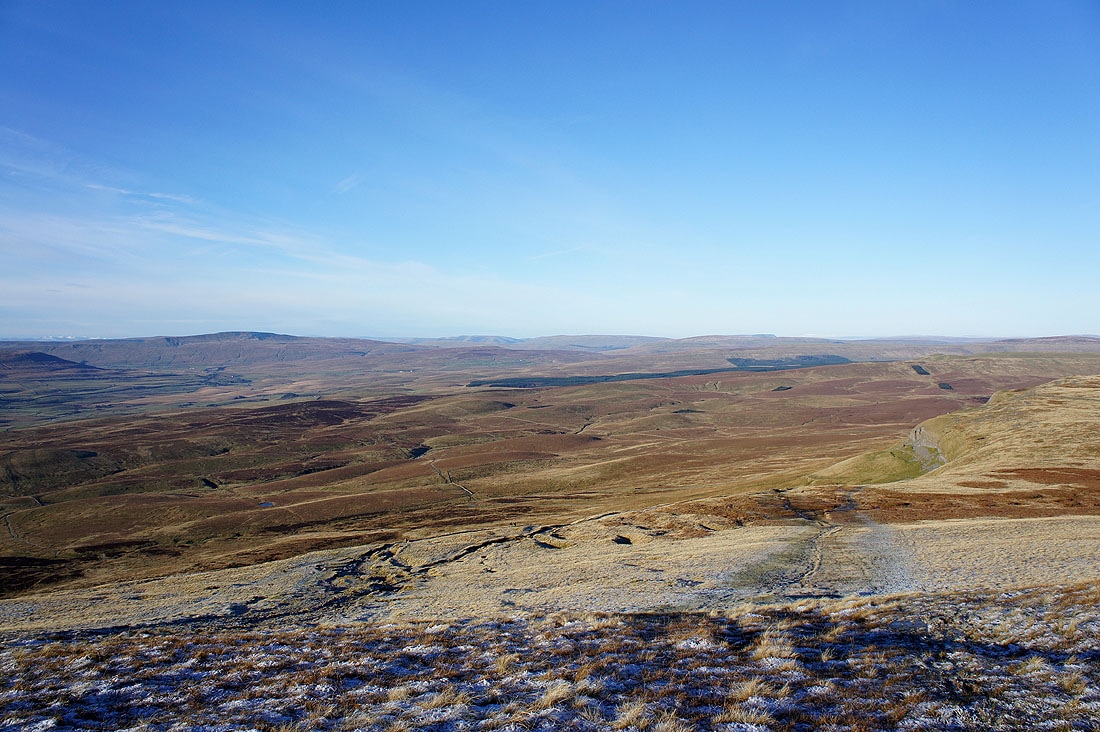
The path back to Horton is icy in places so I take to the grass to avoid it
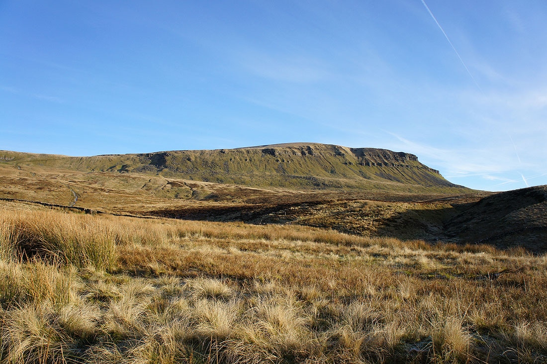
The first view back to Penyghent
and above Horton Scar
I can just fit Plover Hill and Penyghent into the picture
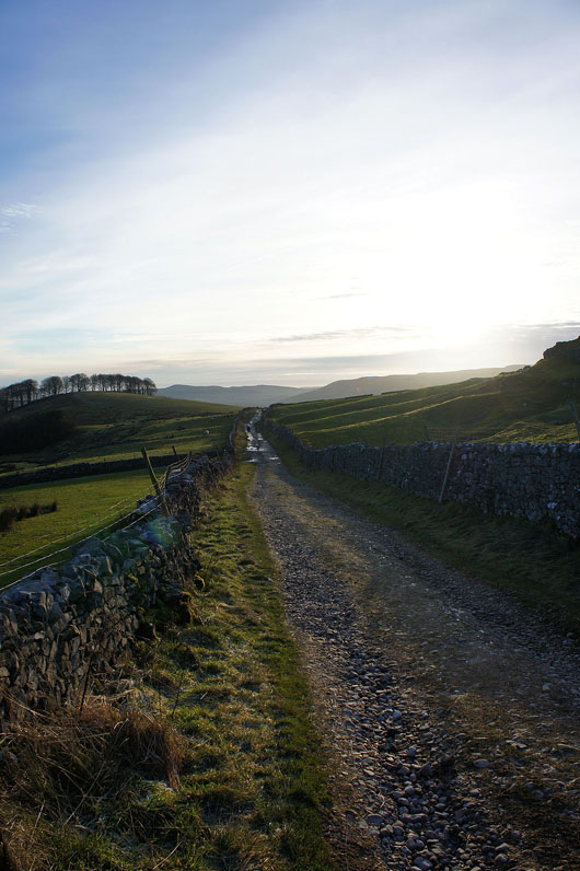
Back down the track to Horton