2nd December 2014 - Penyghent
Walk Details
Distance walked: 5.7 miles
Total ascent: 1601 ft
OS map used: OL2 - Yorkshire Dales, Southern & Western areas
Time taken: 4.5 hrs
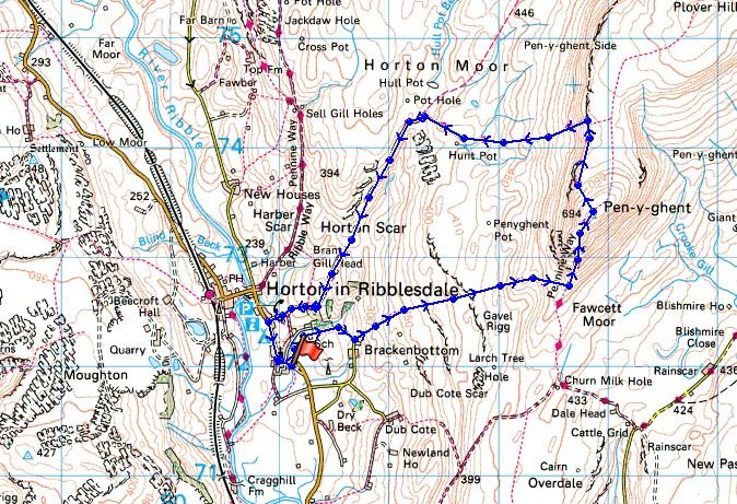
Route description: Horton in Ribblesdale-Brackenbottom-Brackenbottom Scar-Pennine Way-Penyghent-Pennine Way-Horton in Ribblesdale
After tackling Ingleborough last week I thought that I'd try and fit in the other two of the Yorkshire Three Peaks before the end of the year. Today my target is Penyghent. The weather is set fair with a fine and sunny afternoon forecast as the overnight rain clears away. A strong and very cold wind was blowing on the summit but it was one of those winter days that I really enjoy with excellent visibility that lets you see for miles.
Setting out from Horton I followed the lane to Brackenbottom and then the path across Brackenbottom Scar to reach the Pennine Way. The rest of the route was very simple. Keep on the Pennine Way to the summit of Penyghent and to get back to Horton.
Route map
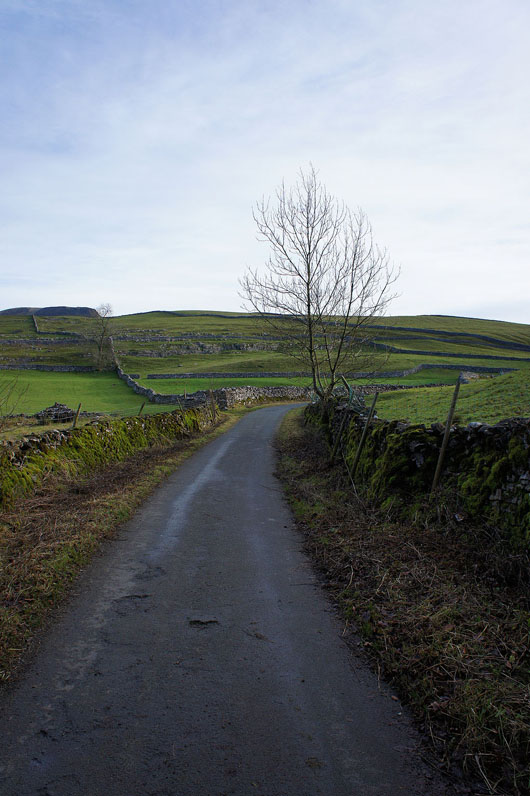
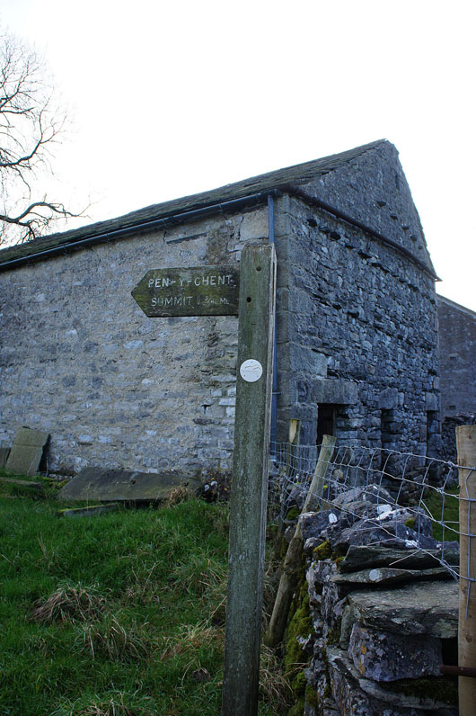
On the road to Brackenbottom and a fingerpost points the way
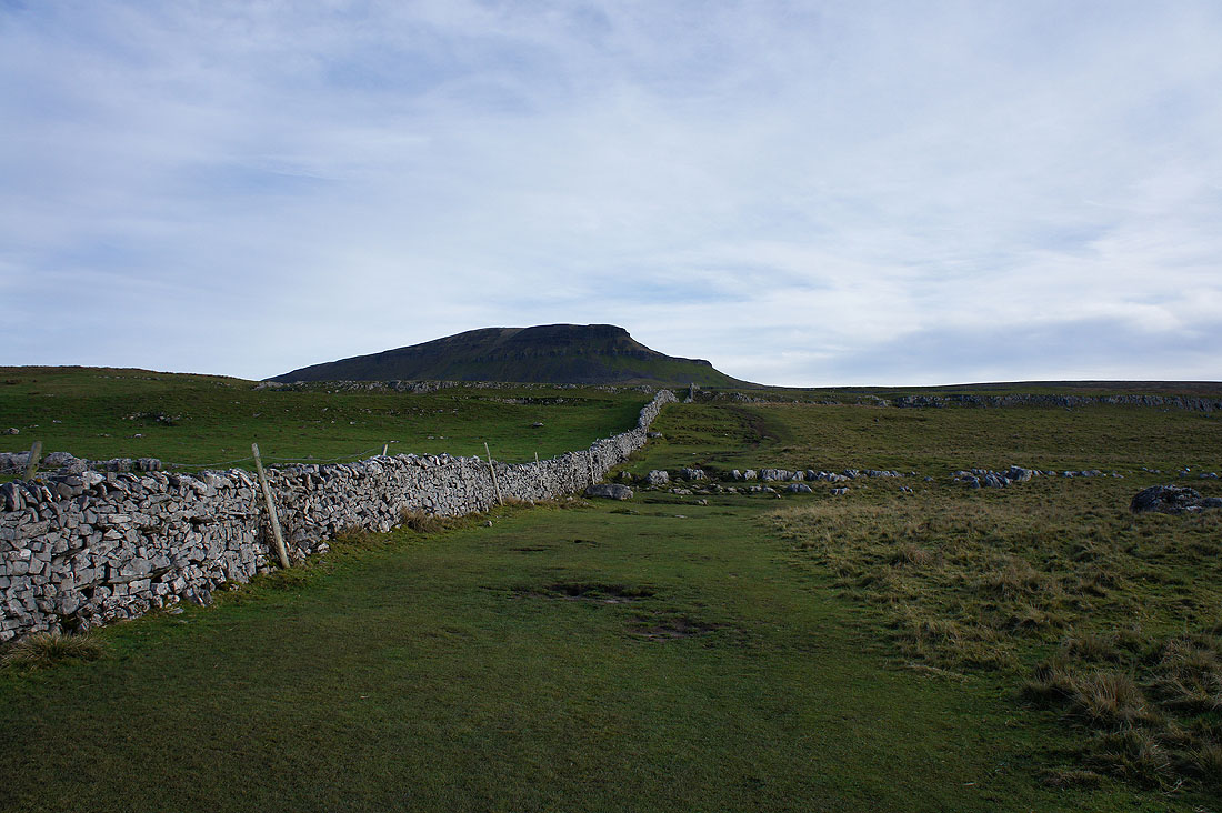
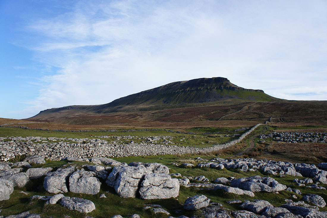
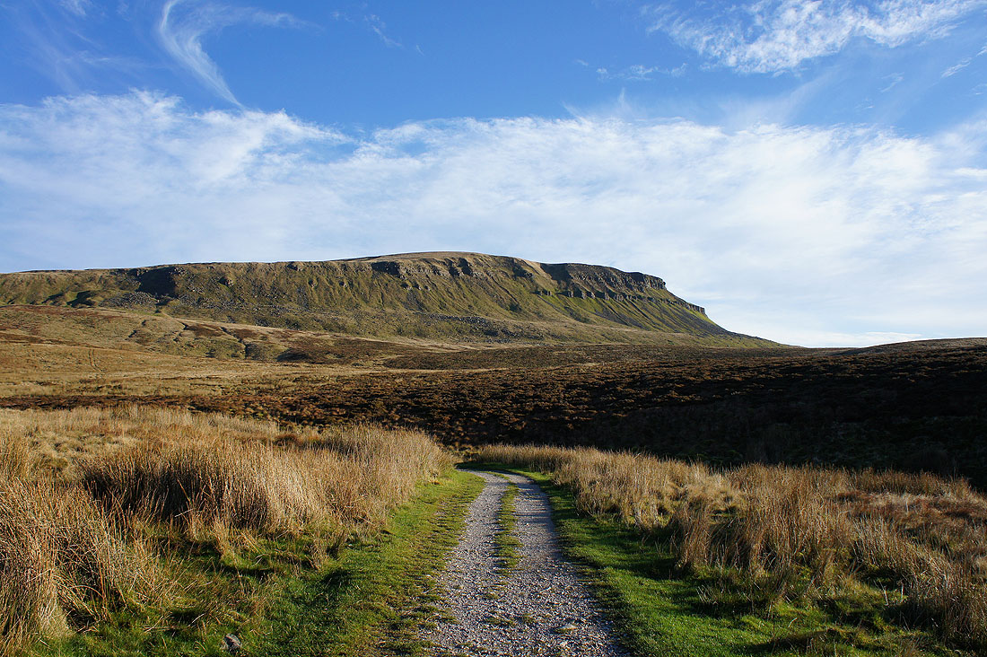
Penyghent comes back into view
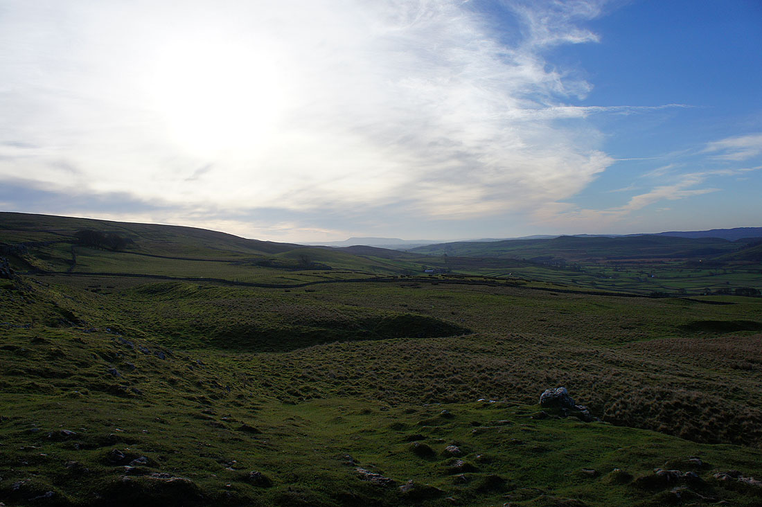
I've got plenty of time to make my way round so I decided to stop and have a brew. It also gave the high cloud a bit longer to clear away. Looking south to Pendle Hill.
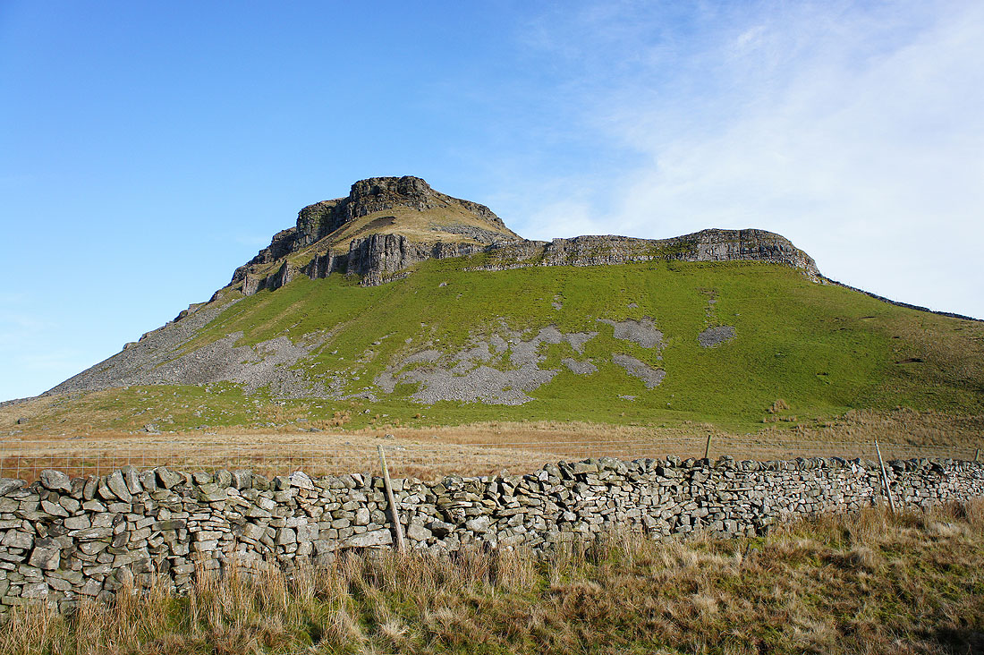
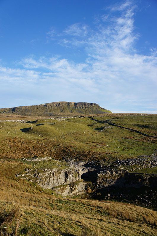
Looks even better as I get closer
Limestone cliffs
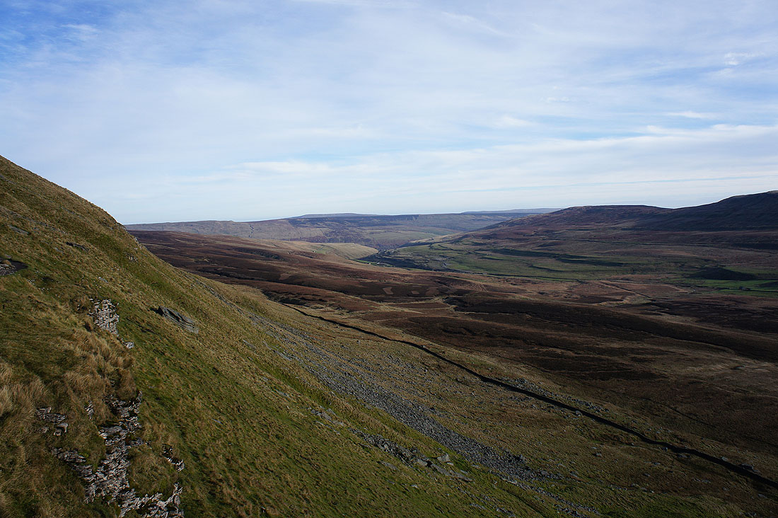
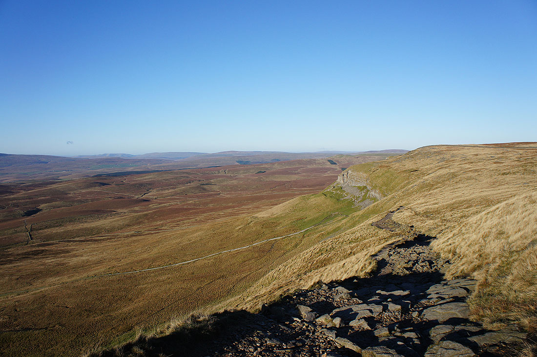
A peep round the corner as I make my way up. Penyghent Gill heads down into Littondale.
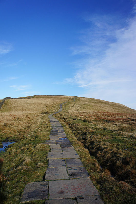
The summit is in sight
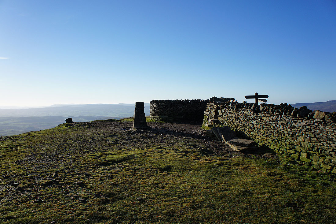
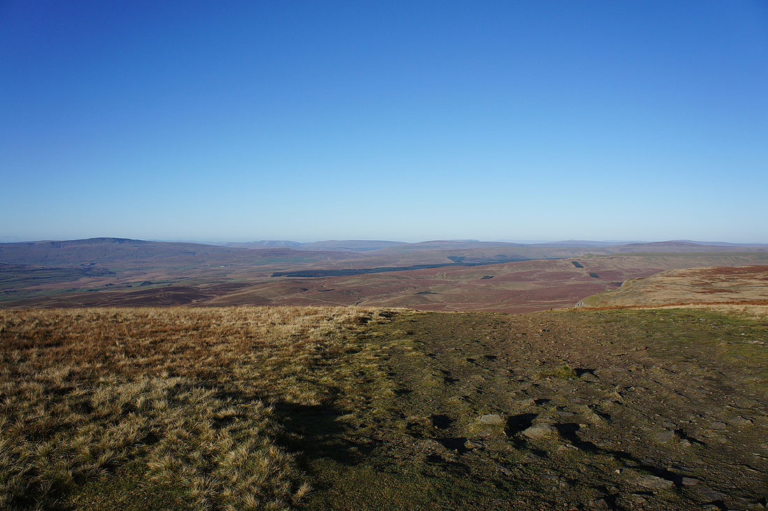
On the summit of Penyghent. The shelter that's part of the wall came in really handy today for getting out of the strong, cold wind. Lunch has been had so I'll have a wander round and take a few pictures.
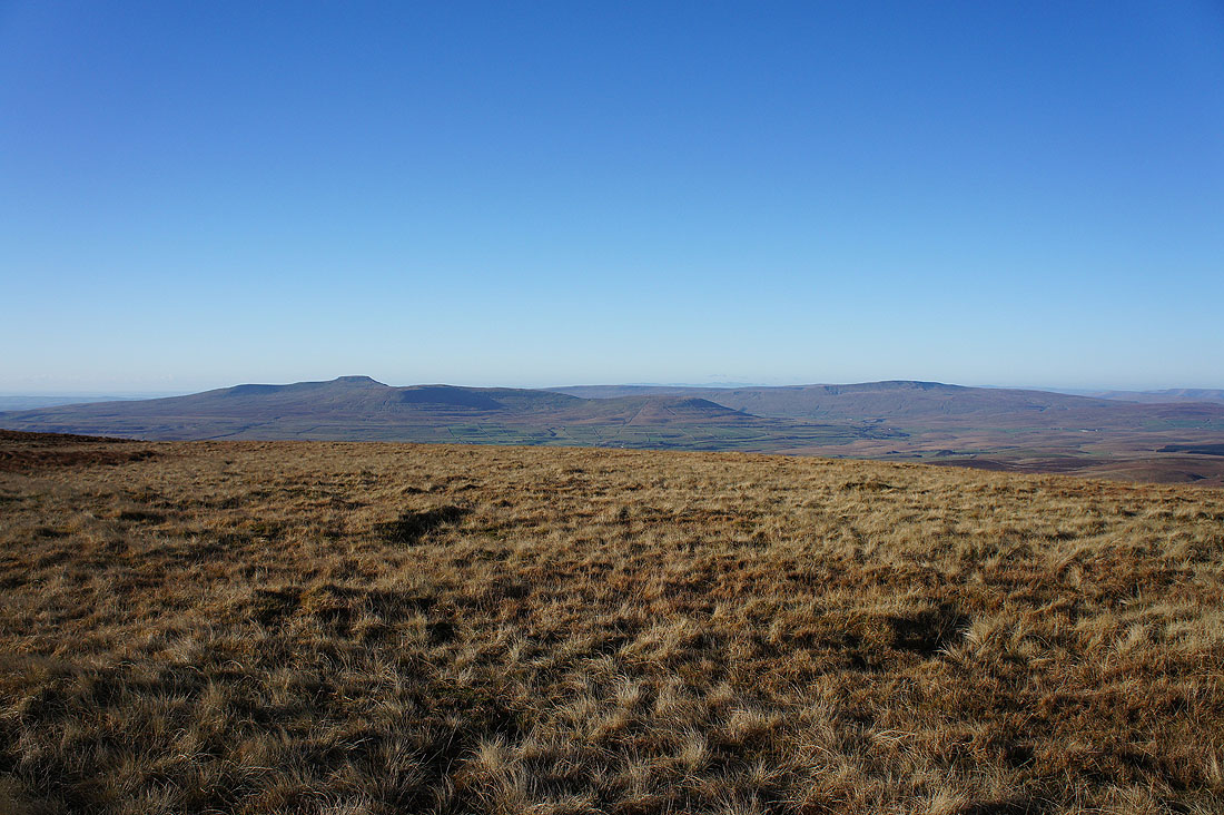
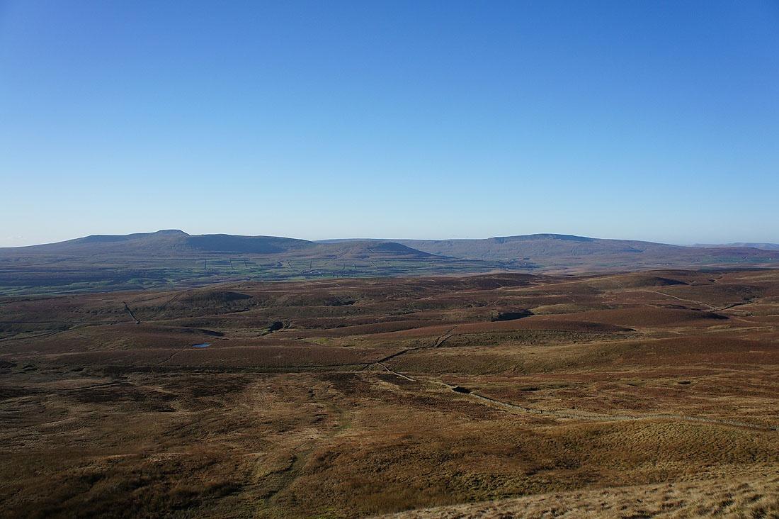
Ingleborough and Whernside on the other side of Ribblesdale
Some of the Lakeland fells in the distance zooming in across the top of Park Fell
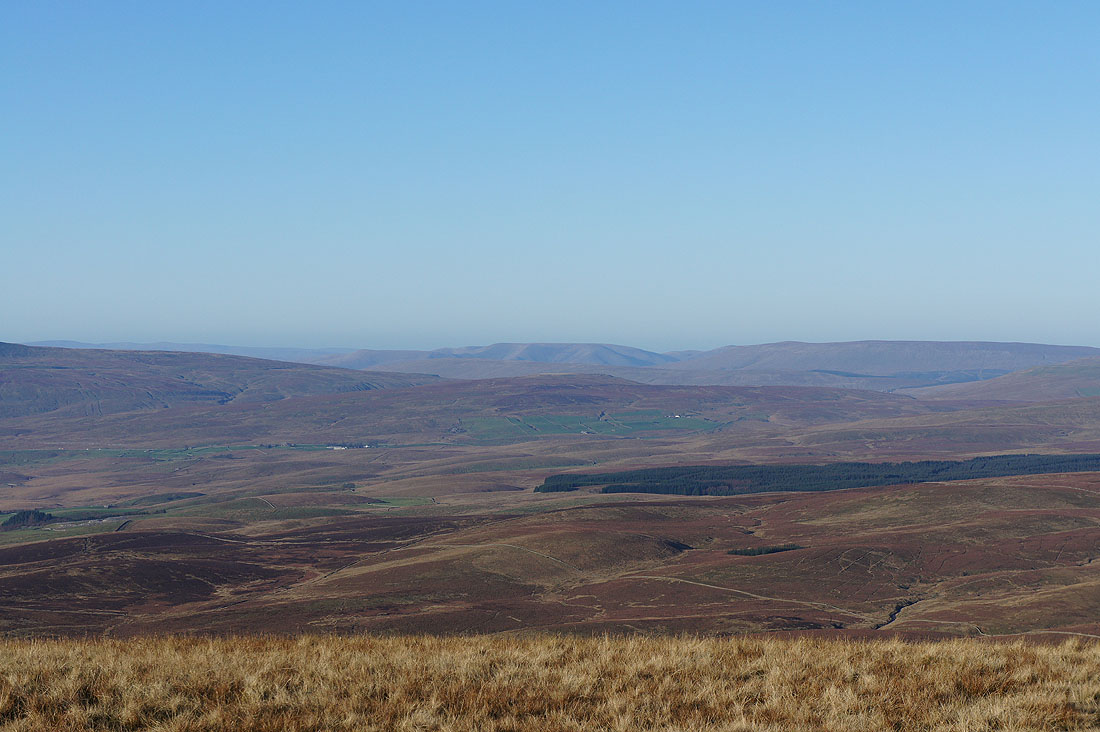
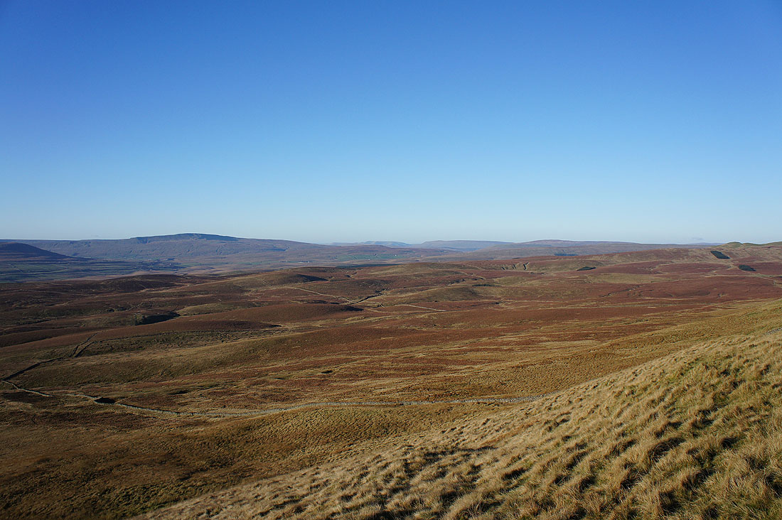
Whernside, the Howgills, Baugh Fell, Great Knoutberry Hill and Dodd Fell Hill
Zooming in on the Howgills and Baugh Fell
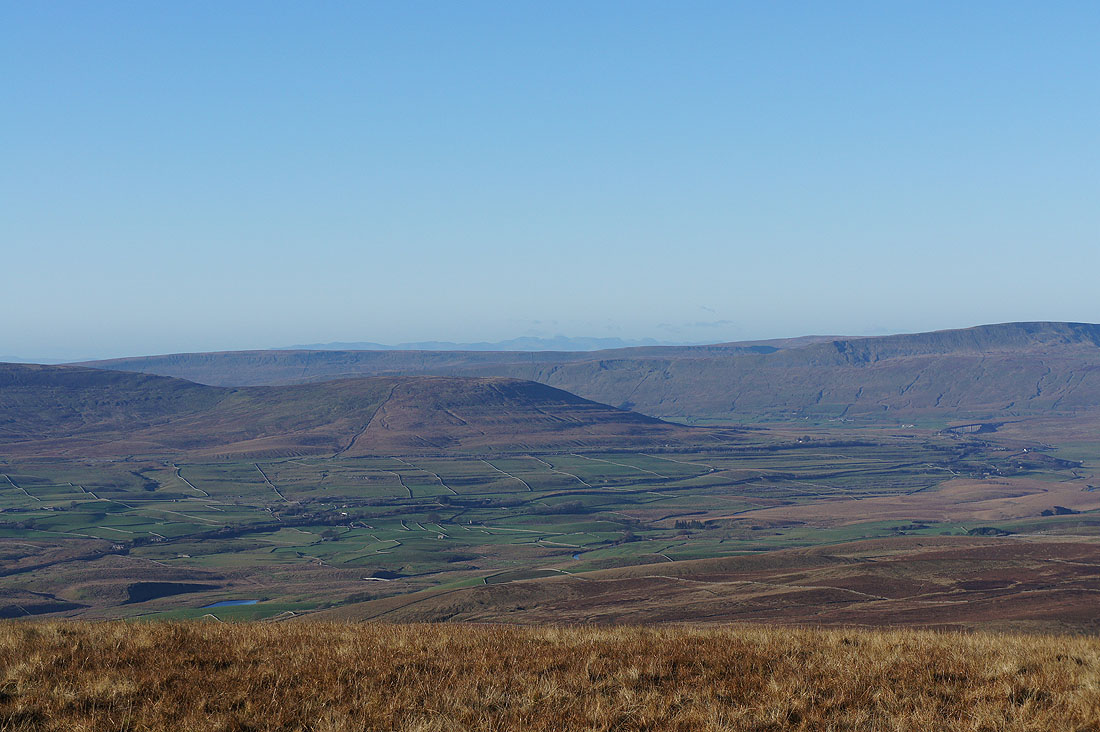
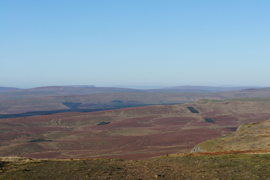
Great Knoutberry Hill, the sharp drop of the east face of Wild Boar Fell and High Seat on the other side of Mallerstang. The faint outline of fells in the distance are Cross Fell and the North Pennines.
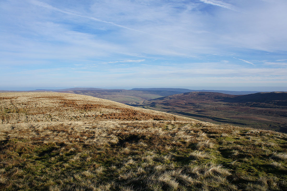
Buckden Pike, Great Whernside and Darnbrook Fell
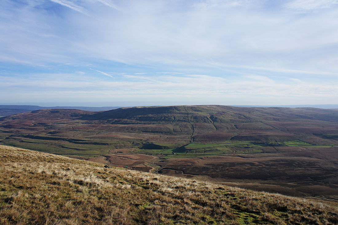
Fountains Fell
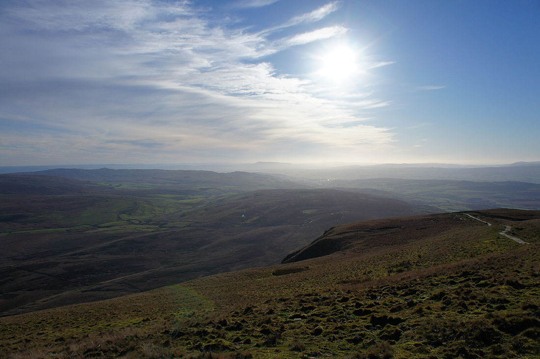
Looking south down Ribblesdale towards Pendle Hill
Heading back to Horton on the Pennine Way. I'm going to have a look at the limestone cliffs on the way down.
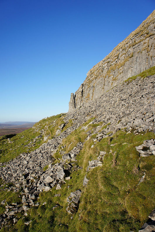
The detached limestone pinnacle
Couldn't resist taking a couple of shots looking across Horton Moor. Ingleborough and Whernside.
Whernside, the Howgills, Baugh Fell and Great Knoutberry Hill
Looking back to Penyghent as I reach the walled track
and above Horton Scar
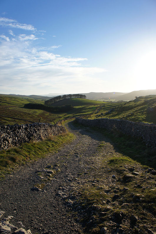
Following the track to Horton
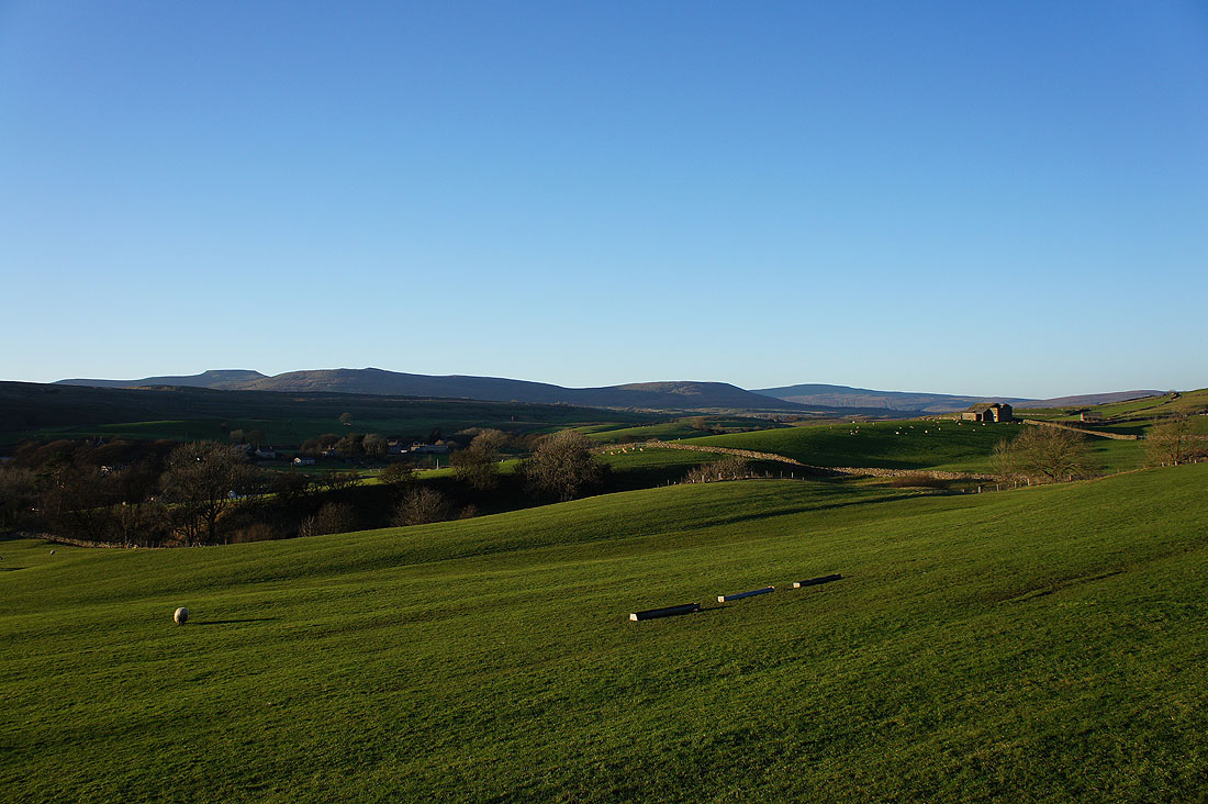
Long shadows across Ribblesdale
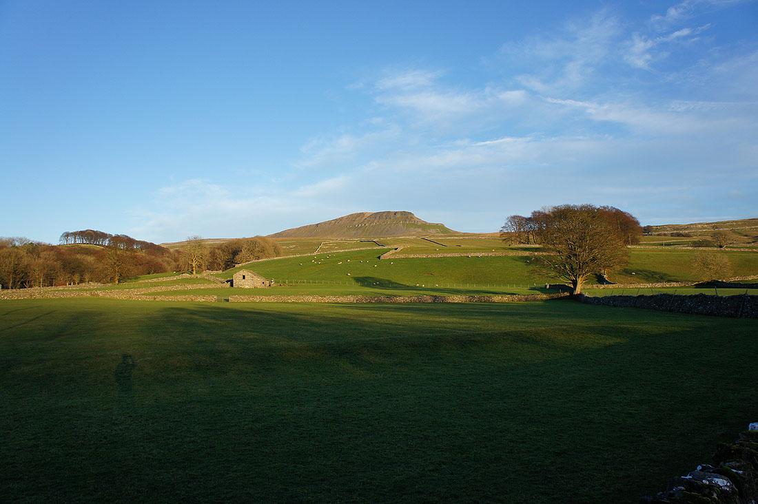
and finally, Penyghent as the sun sets in Horton
