2nd December 2018 - Gorpley Clough
Walk Details
Distance walked: 1.3 miles
Total ascent: 263 ft
OS map used: OL21 - South Pennines
Time taken: 3 hrs (I took my time)
Route description: Small car park by A681-Gorpley Clough-Waterworks-Gorpley Clough-Small car park by A681
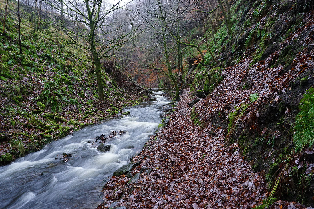
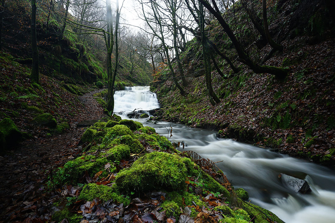
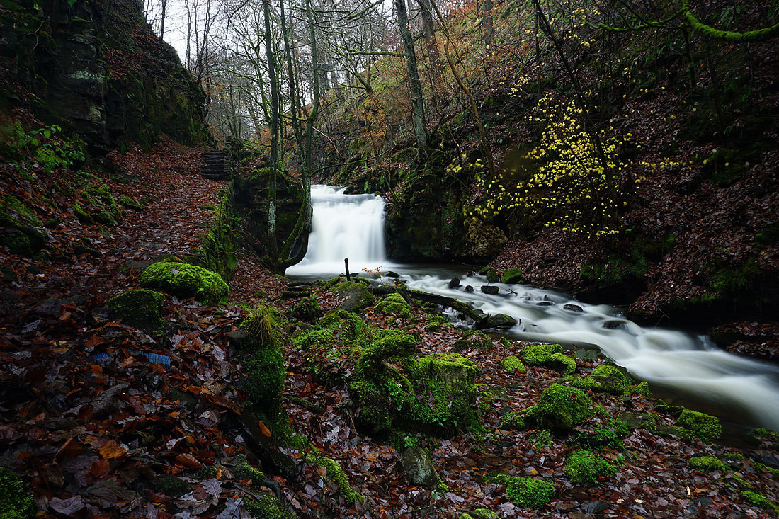
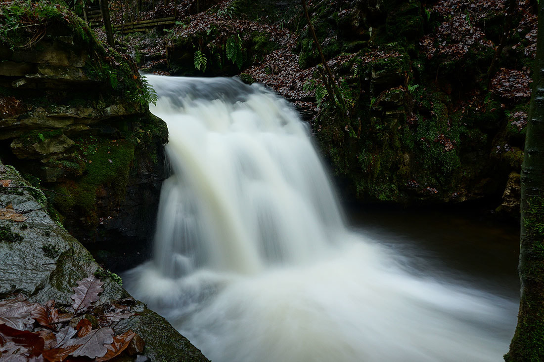
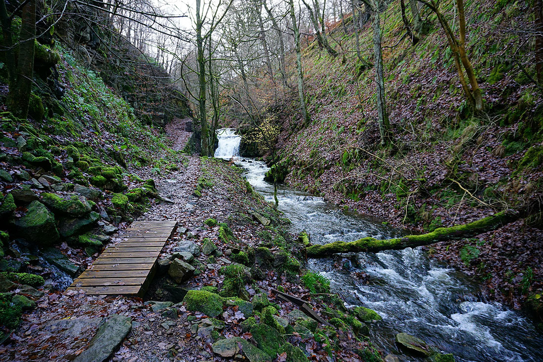
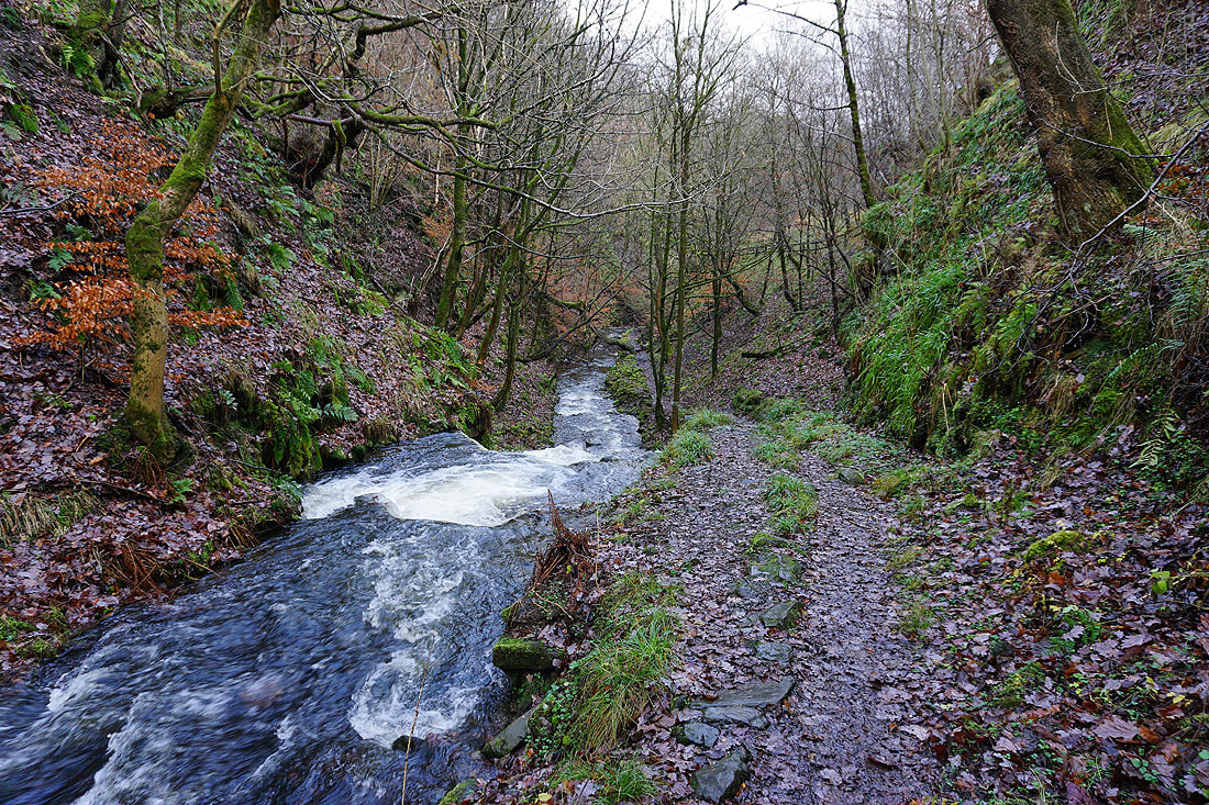
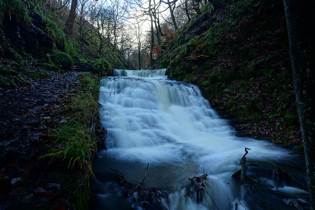
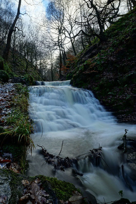
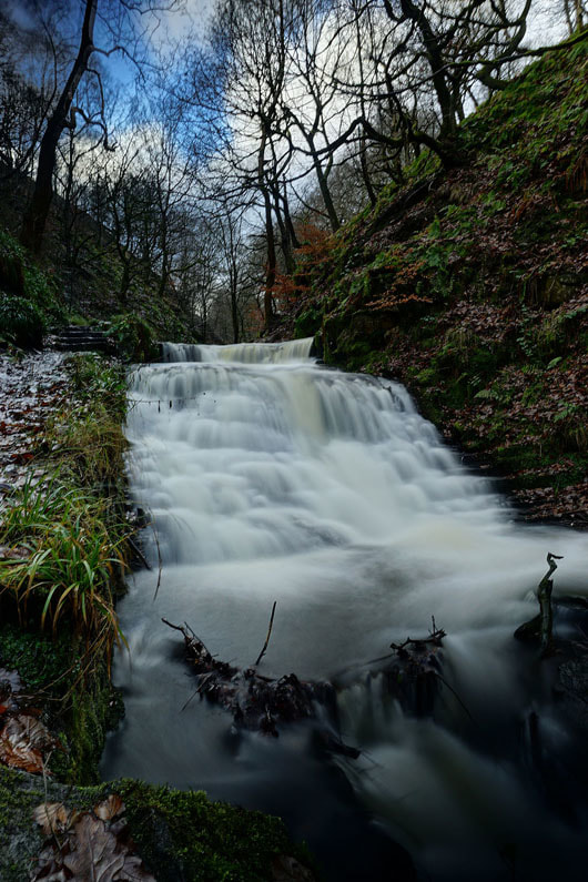
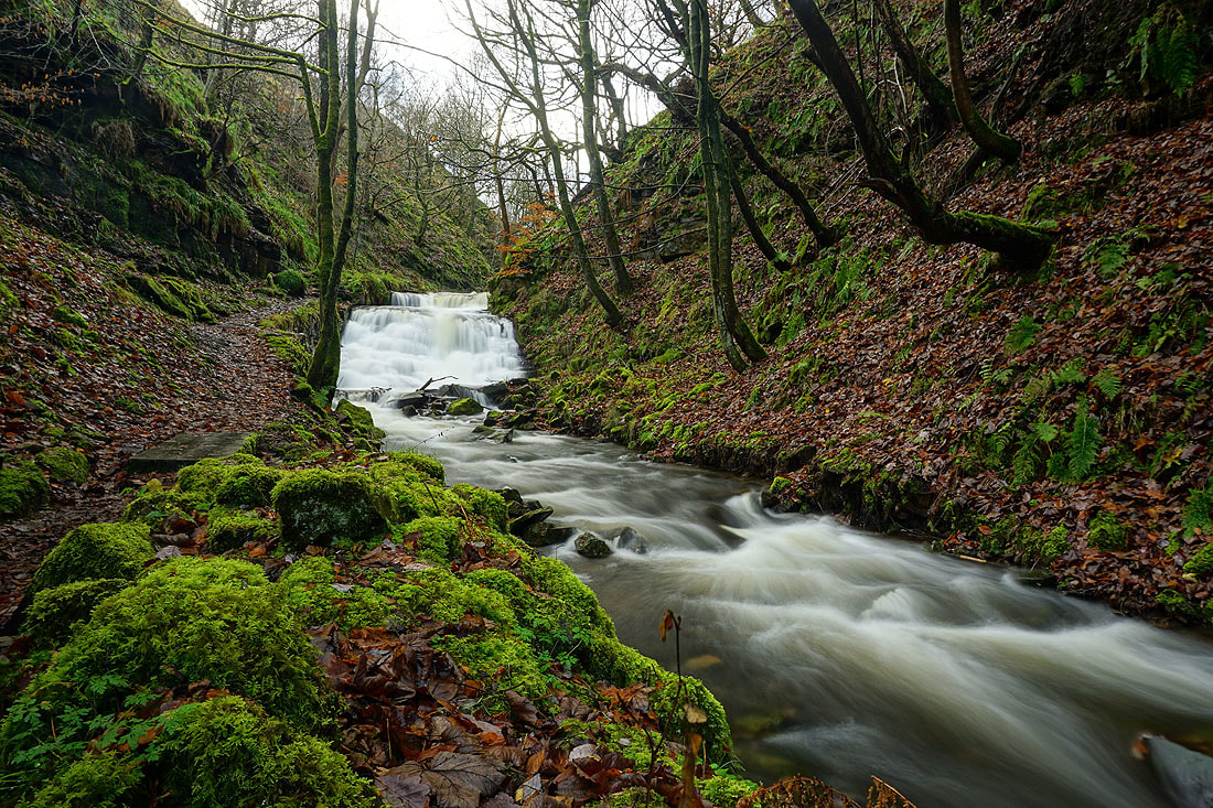
Definitely not the weather for hill walking this weekend. Lots of rain and windy to go with it. I left it until late on Sunday morning when it looked like it might stop raining and brighten up to decide to make the short drive across to Calderdale and do a walk up Gorpley Clough, which is by the road down to Todmorden from Bacup. I knew that there'd be plenty of water going over those waterfalls in the clough and if the weather improved I could climb up to the summit of Freeholds Top above. It didn't improve enough and with the days so short now I didn't go any further than the access road for the waterworks before turning around. Unfortunately it didn't stay dry for the walk up the clough with some drizzly rain blowing around in the wind every now and then. It made for hard work keeping my camera and filter dry while I was taking photos using my tripod.
From the small car park by the A681 at the bottom of Gorpley Clough I followed the footpath up the clough and then walked to the top of the access road for the waterworks for Gorpley Reservoir. I made my way back by the same route.
Total ascent: 263 ft
OS map used: OL21 - South Pennines
Time taken: 3 hrs (I took my time)
Route description: Small car park by A681-Gorpley Clough-Waterworks-Gorpley Clough-Small car park by A681
Definitely not the weather for hill walking this weekend. Lots of rain and windy to go with it. I left it until late on Sunday morning when it looked like it might stop raining and brighten up to decide to make the short drive across to Calderdale and do a walk up Gorpley Clough, which is by the road down to Todmorden from Bacup. I knew that there'd be plenty of water going over those waterfalls in the clough and if the weather improved I could climb up to the summit of Freeholds Top above. It didn't improve enough and with the days so short now I didn't go any further than the access road for the waterworks before turning around. Unfortunately it didn't stay dry for the walk up the clough with some drizzly rain blowing around in the wind every now and then. It made for hard work keeping my camera and filter dry while I was taking photos using my tripod.
From the small car park by the A681 at the bottom of Gorpley Clough I followed the footpath up the clough and then walked to the top of the access road for the waterworks for Gorpley Reservoir. I made my way back by the same route.
Route map
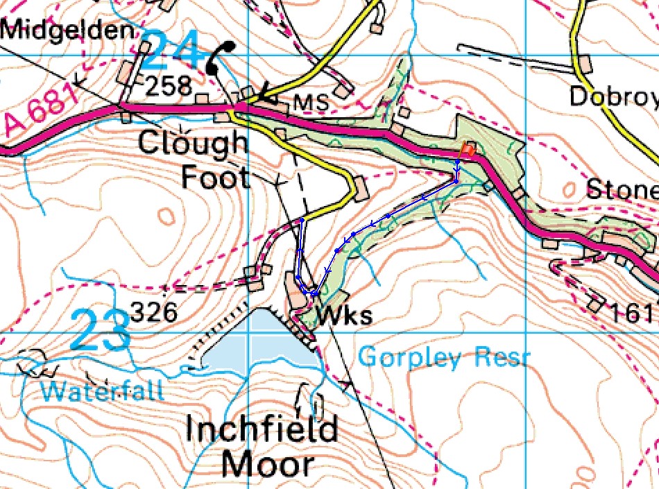
© Crown copyright. All rights reserved. License number PU 100034184.
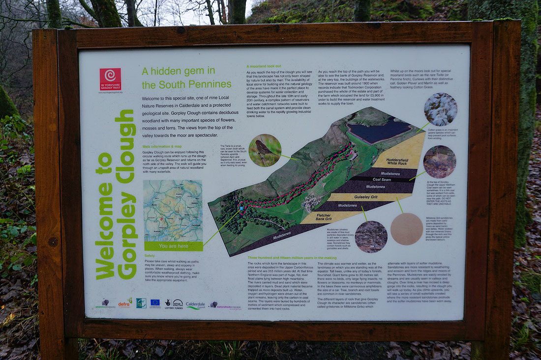
The information board in the car park
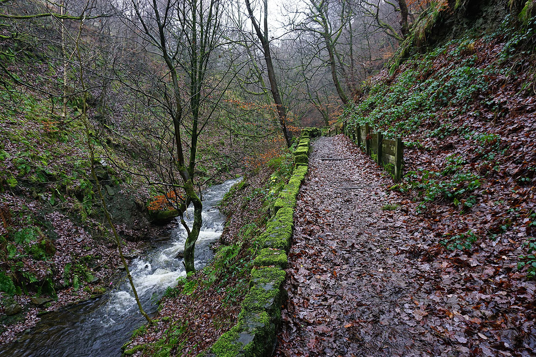
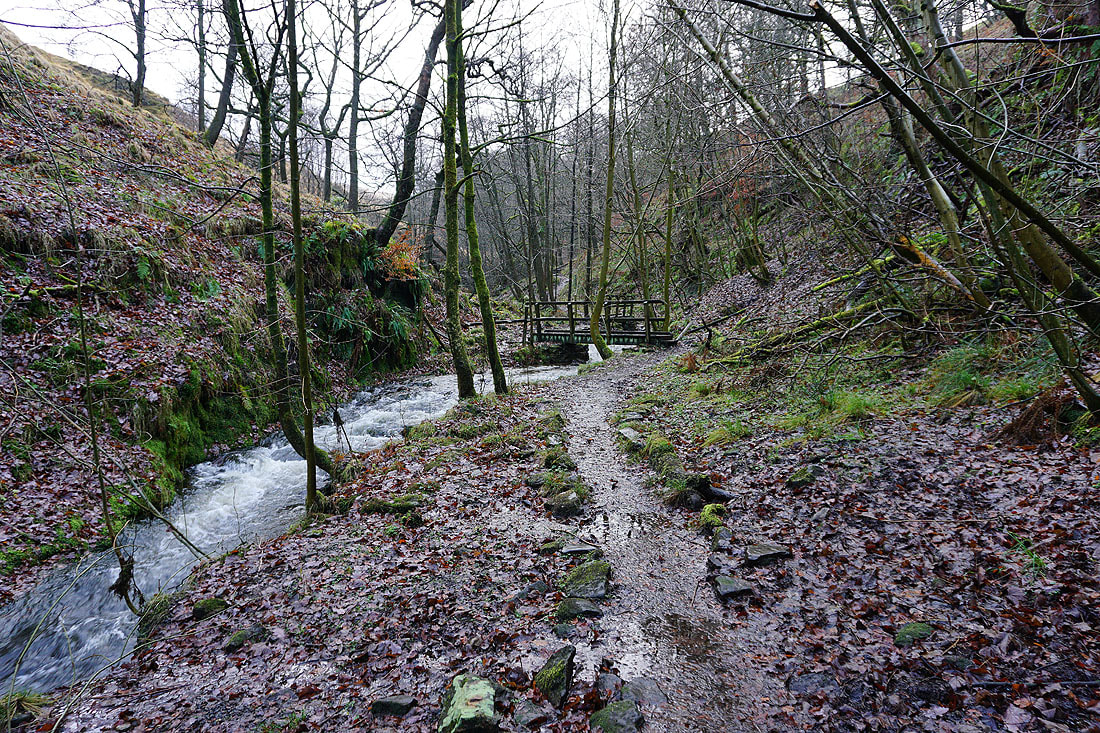
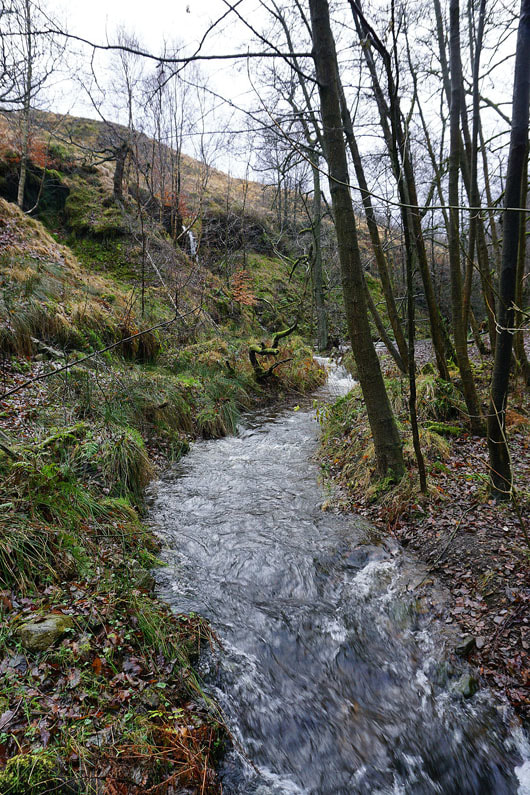
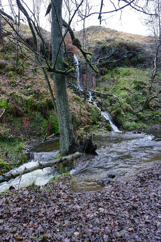
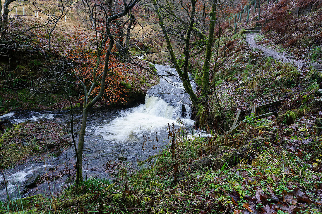
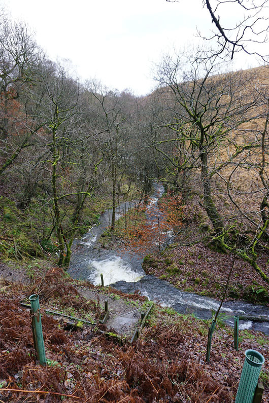
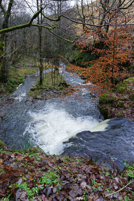
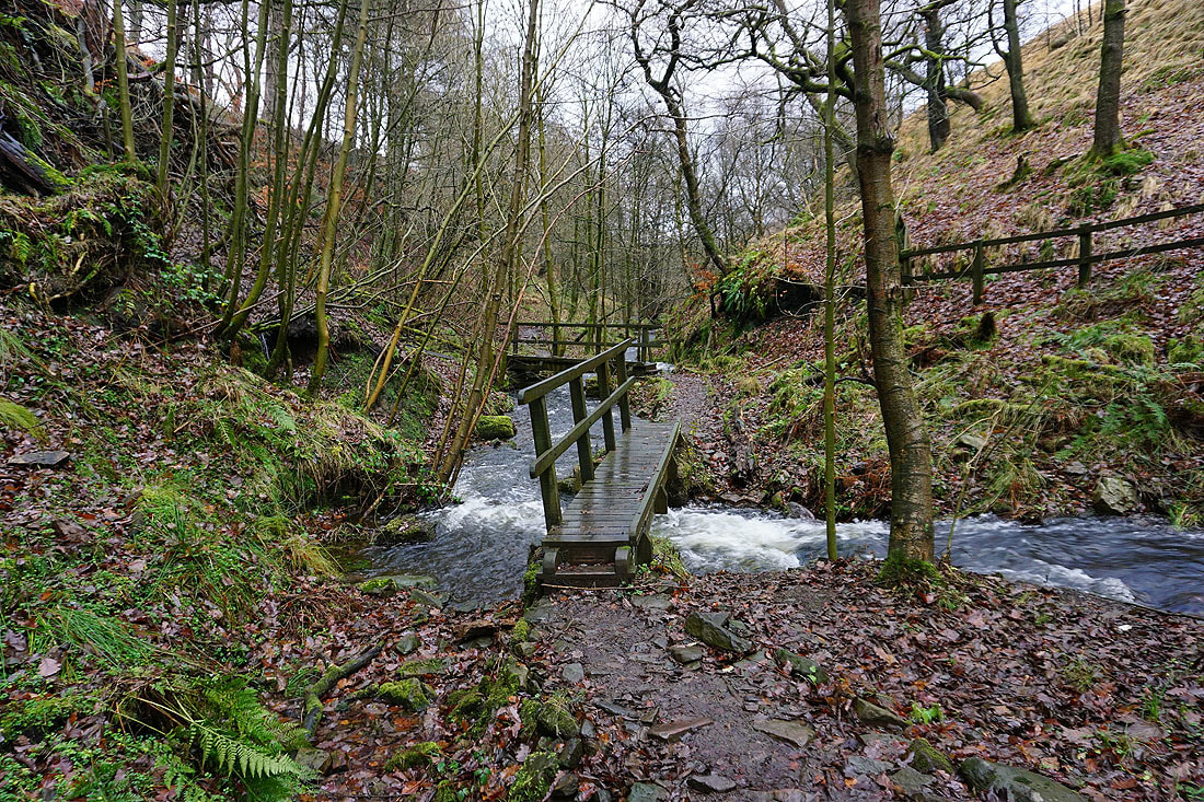
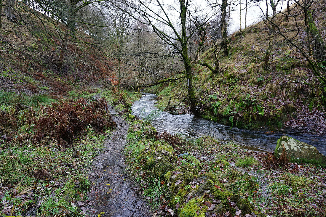
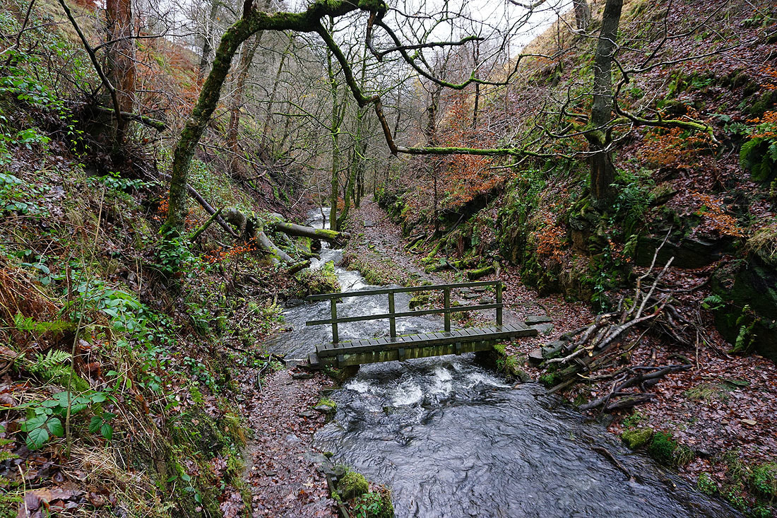
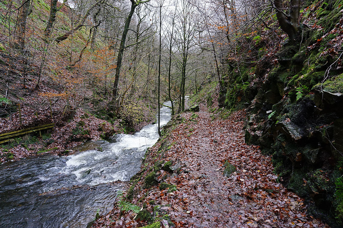
Lots of photos of the walk up Gorpley Clough. Plenty of wet and muddy ground underfoot..........
|
|
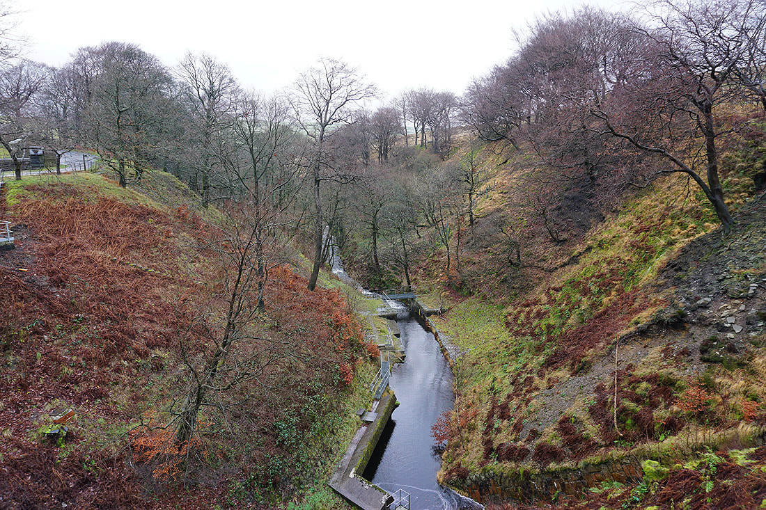
Gorpley Clough from the waterworks buildings
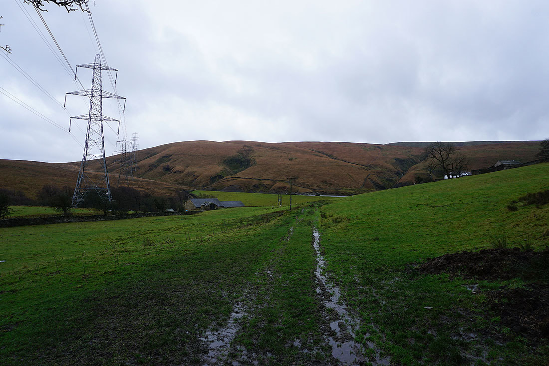
Inchfield Moor from the waterworks access road. This is as far as I'm going. Time to head back down.
|
|
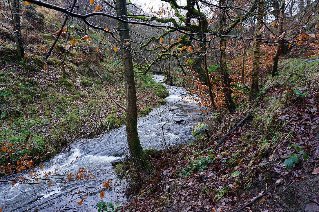
More photos as I make my way back down Gorpley Clough............
|
|
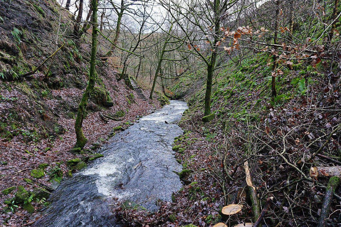
Up those stairs and I'm back in the car park