2nd December 2023 - Pendle Hill
Walk Details
Distance walked: 9.7 miles
Total ascent: 1544 ft
OS map used: OL41 - Forest of Bowland & Ribblesdale
Time taken: 5.5 hrs
Route description: Pendleton-Wymondhouses-Nick of Pendle-Pendleton Moor-Deerstones-Ogden Clough-Pendle Hill-Downham Moor-Worston Moor-Mearley Moor-Pendleton Moor-Nick of Pendle-Wymondhouses-Pendleton
After yesterday's walk up Great Whernside from Kettlewell I stayed close to home for my walk this weekend, Pendle Hill from Pendleton. This route might have become my favourite for taking in a circuit of the whole hill, as it's just the right sort of length for a day walk and I can add to it if I want to, and I have no problem finding somewhere to park my car in Pendleton. The forecast was for a fine winter's day with a decent amount of sunshine. Setting off from Pendleton with sunshine and a frost, I kept sunny spells until the middle of the afternoon when it started to cloud over. A thick frost on the moorland grass not warmed by the low winter sun, and an interesting skyscape made this a good day for taking photos. Incidentally, this was the day that the southern Lake District got inundated by heavy snowfall. Dark threatening clouds can be seen in the distance beyond the Forest of Bowland.
From the car park in Pendleton I walked east along the main street past the Swan with Two Necks pub and along the road to Sabden until I reached a track on the right with a public footpath sign. I took the path and followed it across fields and a footbridge over Pendleton Brook to reach Wymondhouses, and then the footpath round the farm and up a track to the Nick of Pendle. Once cross the Nick of Pendle I made my way up onto Pendleton Moor, making a short diversion to Deerstones before returning to the path to Ogden Clough. I kept on the path as it made its way into Ogden Clough and followed it all the way up to the trig point and summit. I then crossed the stile onto Downham Moor, followed the path west, and crossed the stile onto Worston Moor to reach the Scout Cairn. I then walked across Mearley Moor before crossing the top of Howcroft Brook to pick up the path across Pendleton Moor back to the Nick of Pendle. From there I retraced my steps back to Pendleton.
Route map

© Crown copyright. All rights reserved. License number PU 100034184.
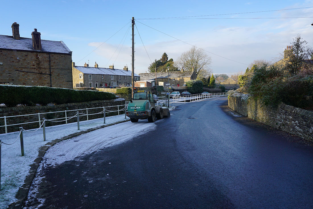
It's a cold and frosty winter's morning in Pendleton
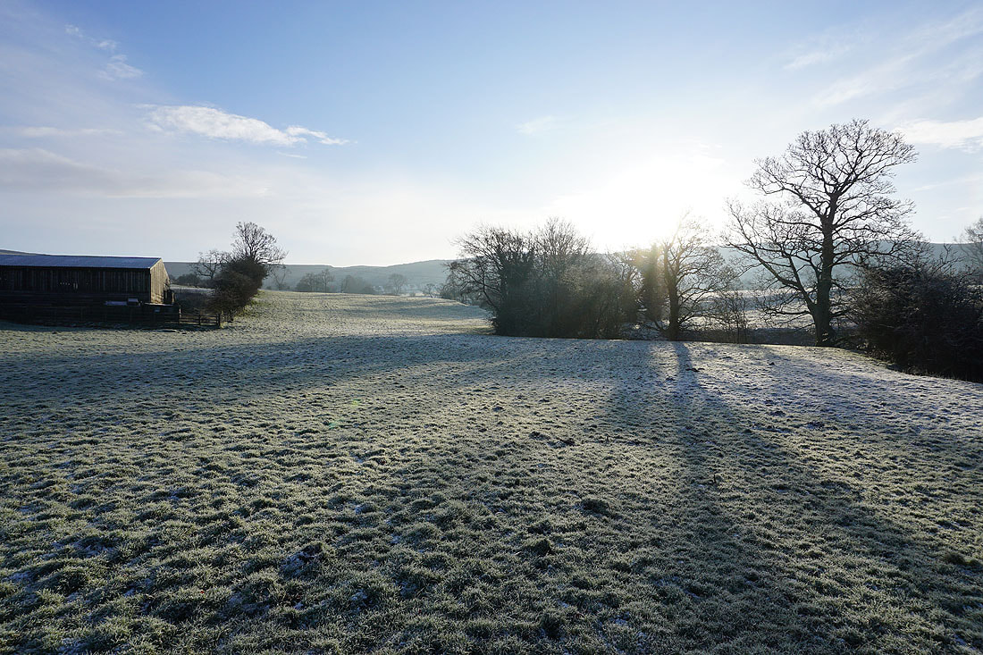
Long shadows and frosty fields as I leave Pendleton on the footpath up to Wymondhouses Farm
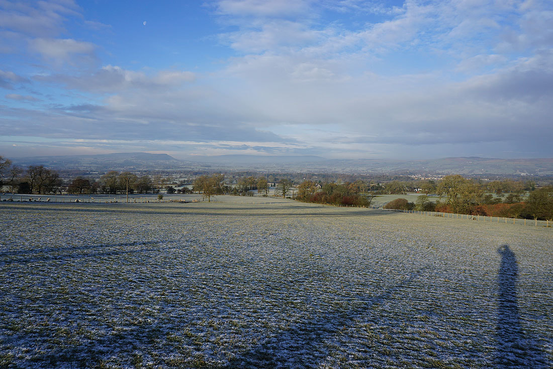
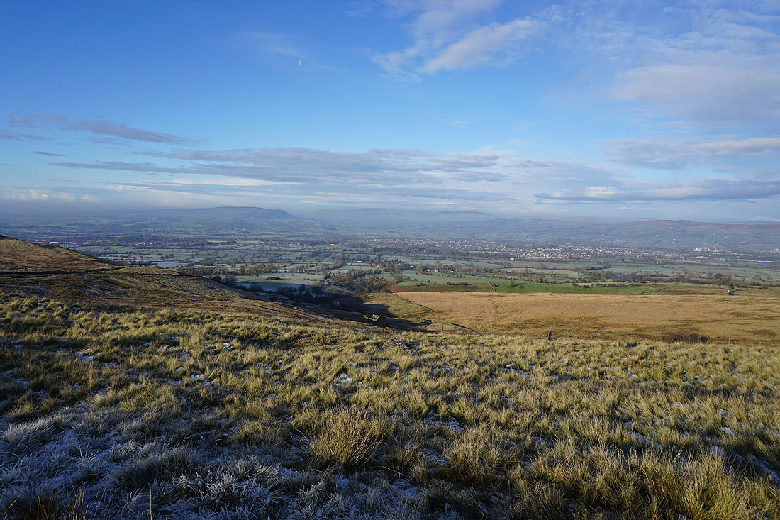
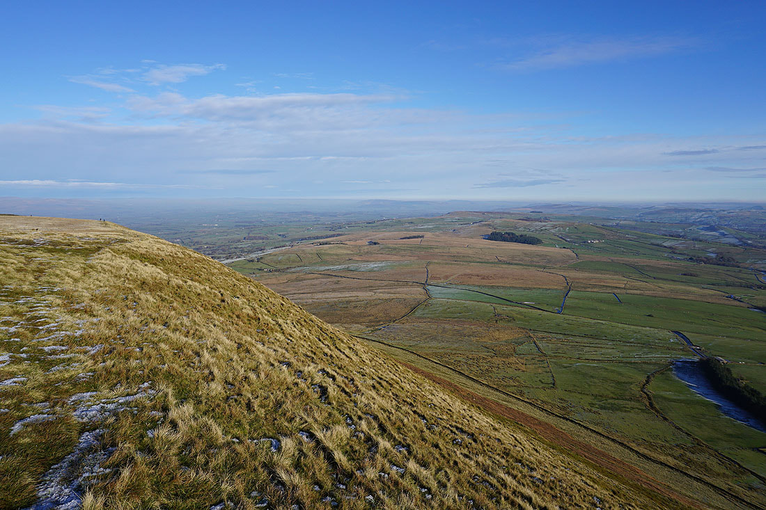
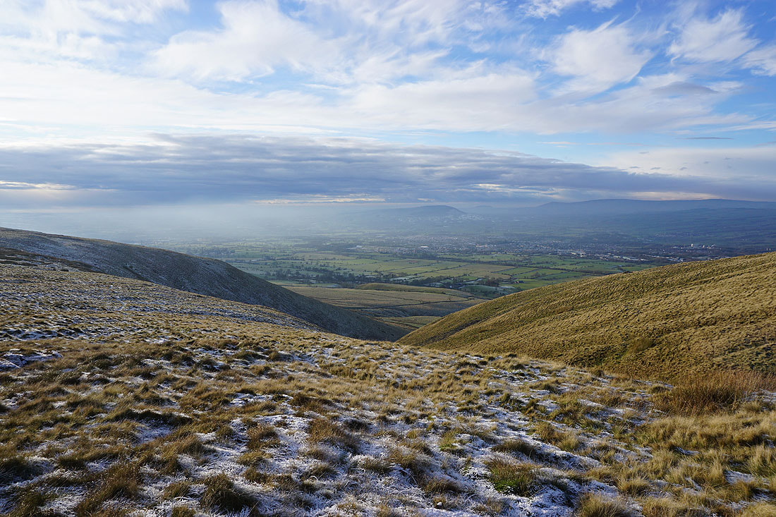
Looking back across the Ribble Valley to the Forest of Bowland
On the path up to the Nick of Pendle, and looking back to Wymondhouses Farm, and across the Ribble Valley to Longridge Fell, Parlick, Fair Snape Fell, Totridge
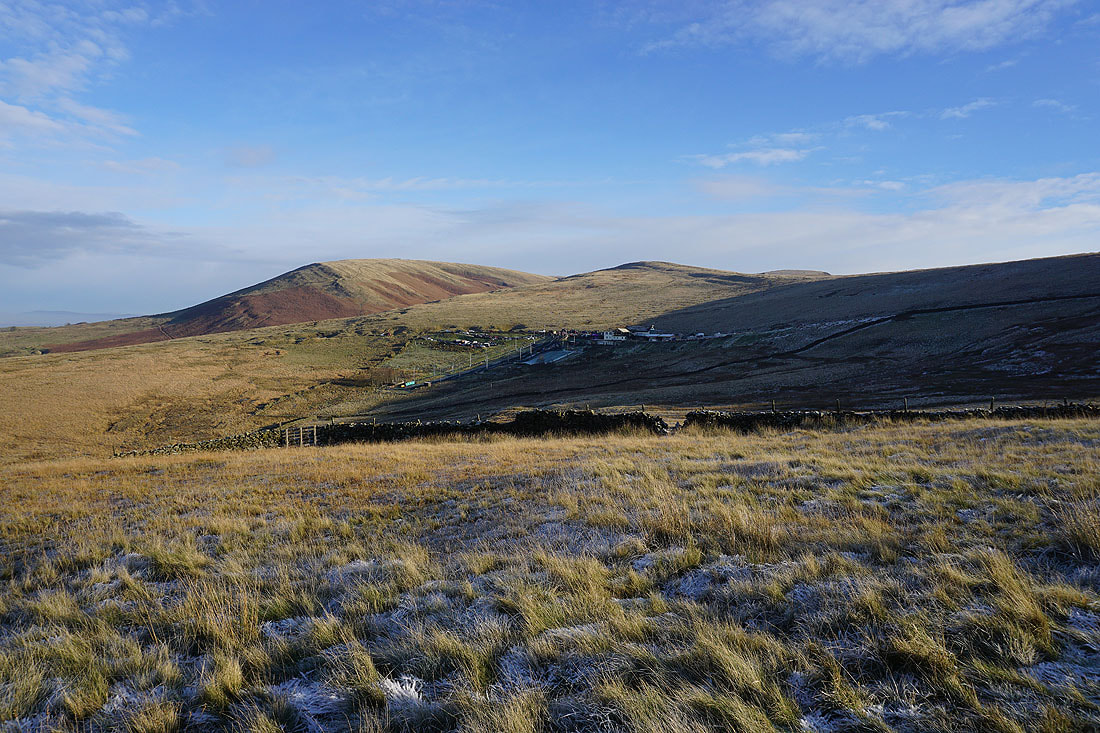
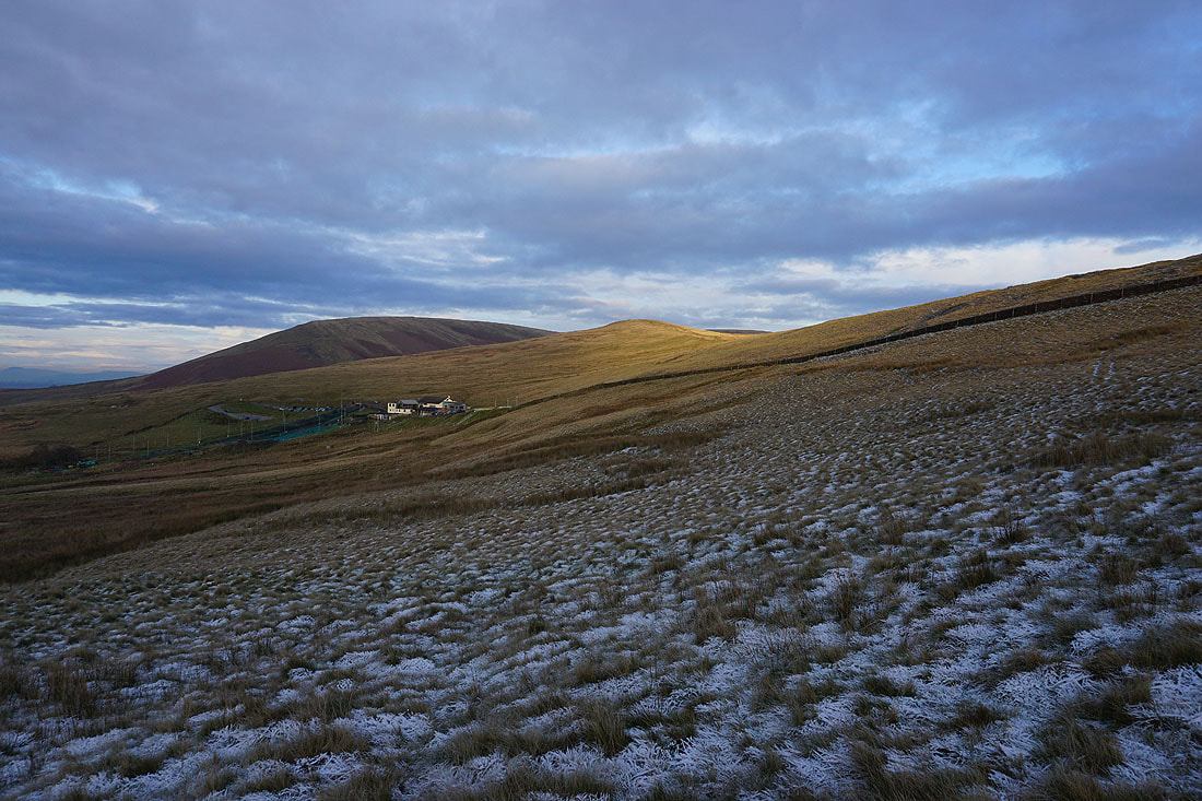
Mearley Moor and Pendleton Moor on the other side of the Nick of Pendle

Following the footpath up to the Nick of Pendle
On the other side of the Nick of Pendle with a view across the Ribble Valley to Clitheroe and the Forest of Bowland
The bulk of Pendle Hill is now ahead of me
Looking back to the Nick of Pendle and The Rough
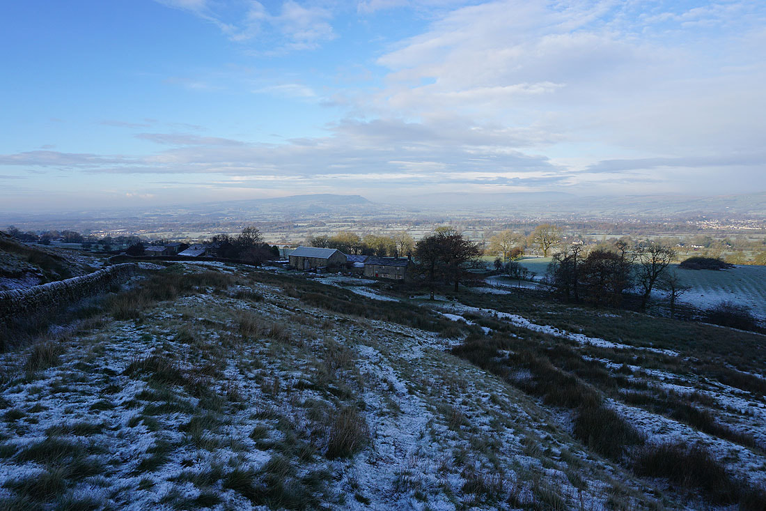
Before heading for Ogden Clough I've made a short detour to Deerstones. Looking west to The Rough and Pendleton Moor, with the Ribble Valley beyond.

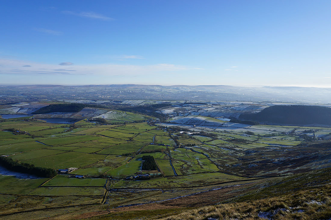
Churn Clough Reservoir, Sabden and the wooded Black Hill below, with the West Pennine Moors in the distance
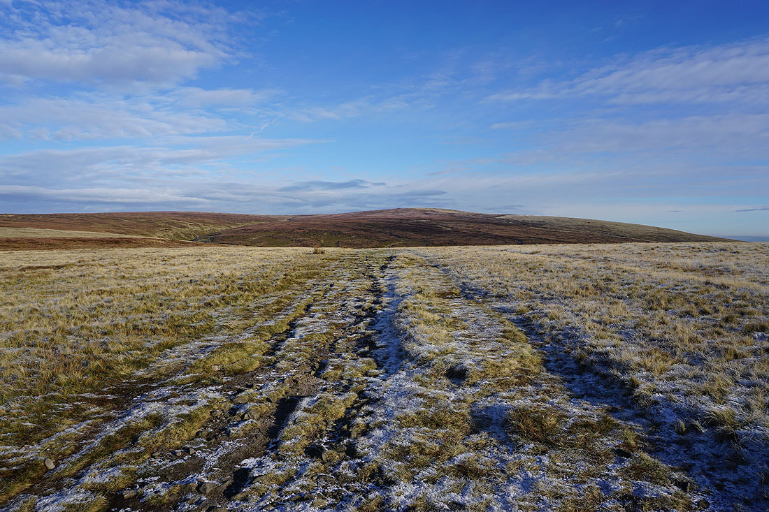
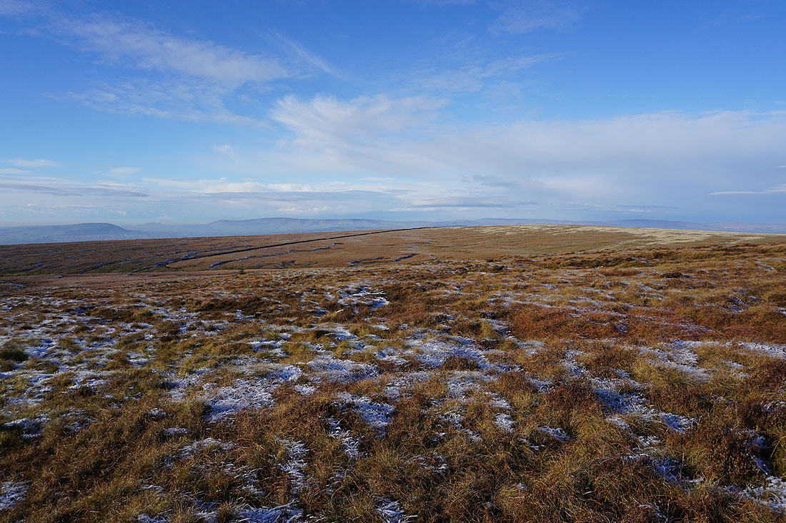
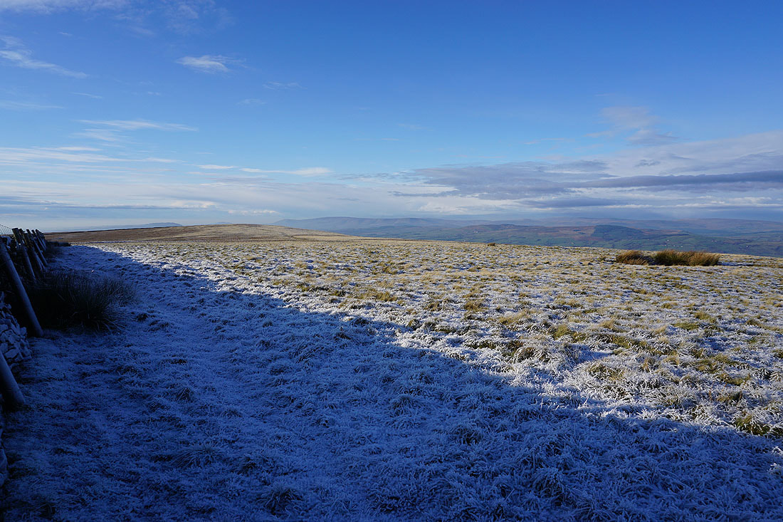
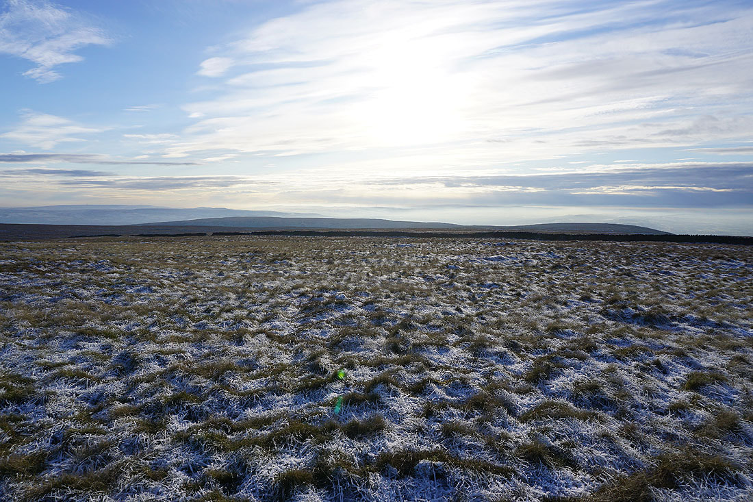
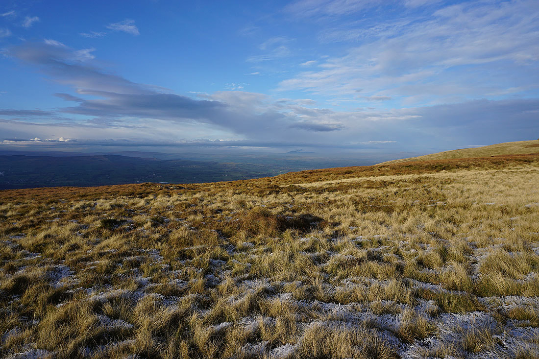
Looking across Pendleton Moor to the Forest of Bowland
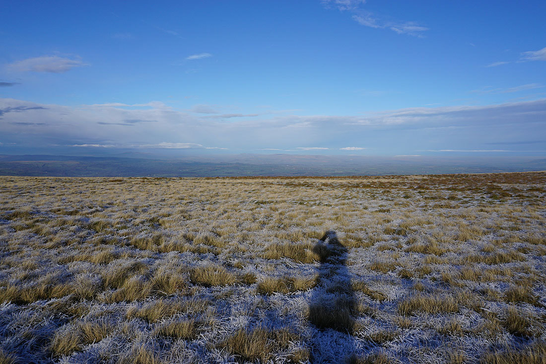
Frost covered moorland as I return to the path to Ogden Clough
Mearley Moor on the other side of Ashendean Clough
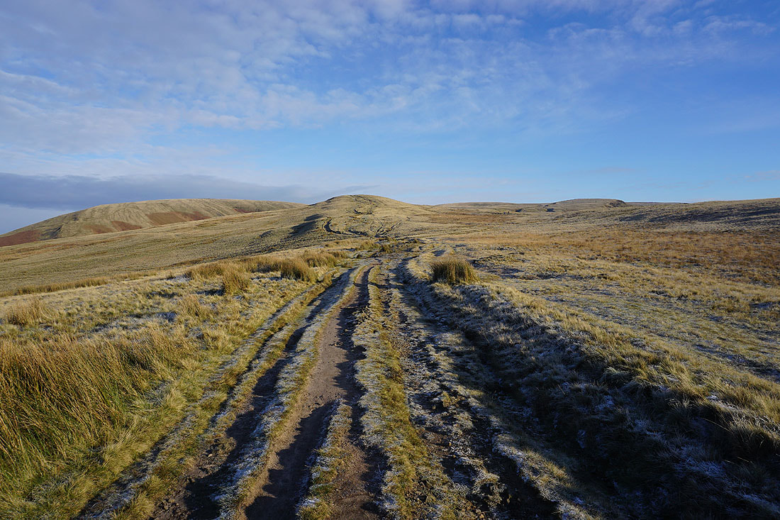
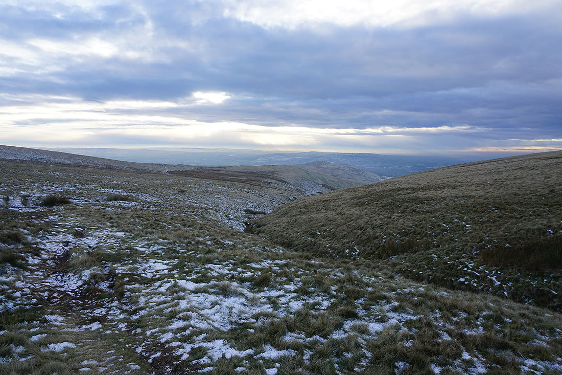
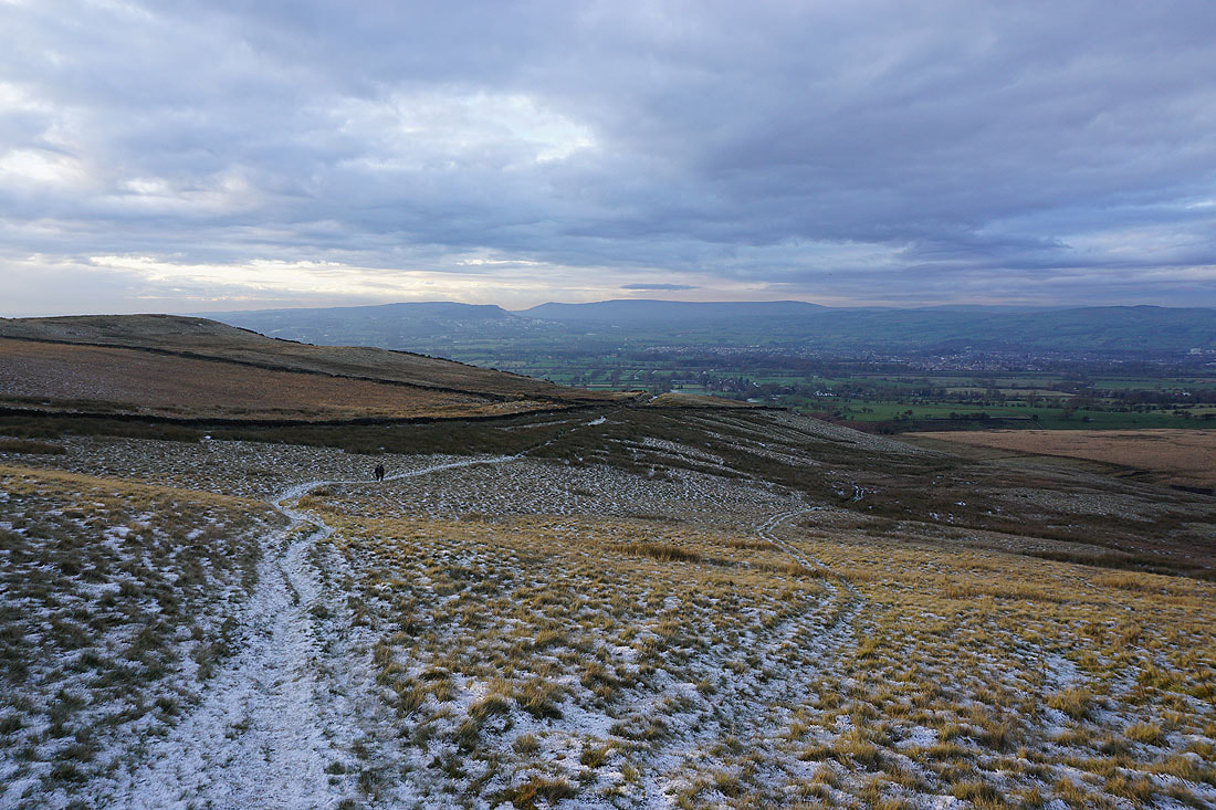
The summit of Pendle Hill ahead as I approach Ogden Clough
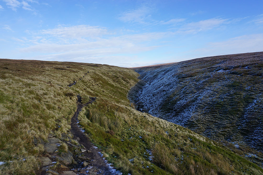
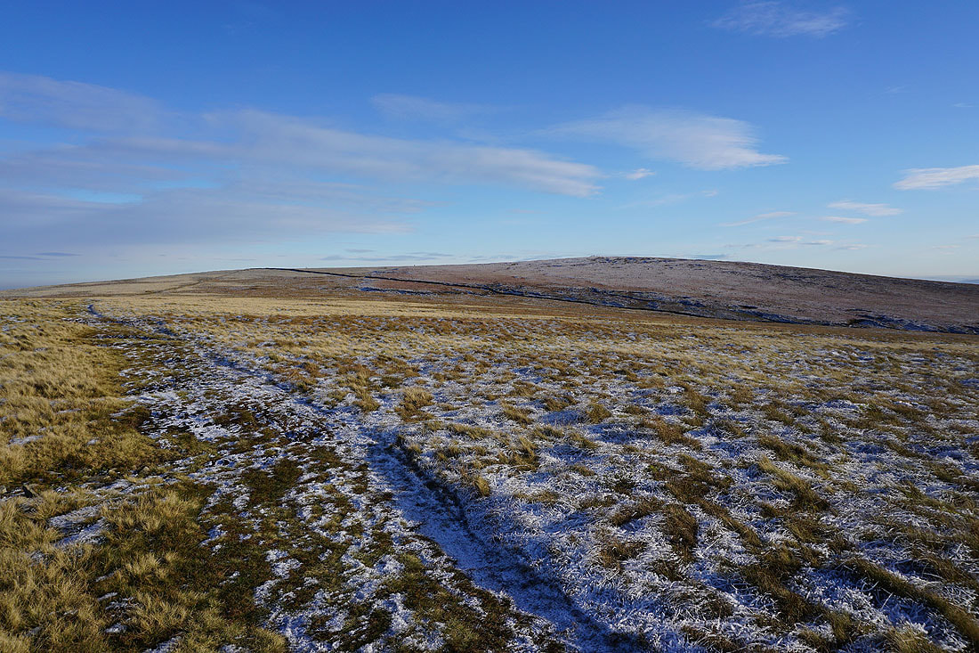
Making my way along the path up Ogden Clough
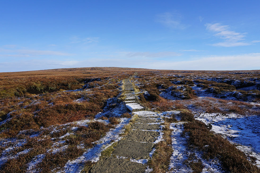
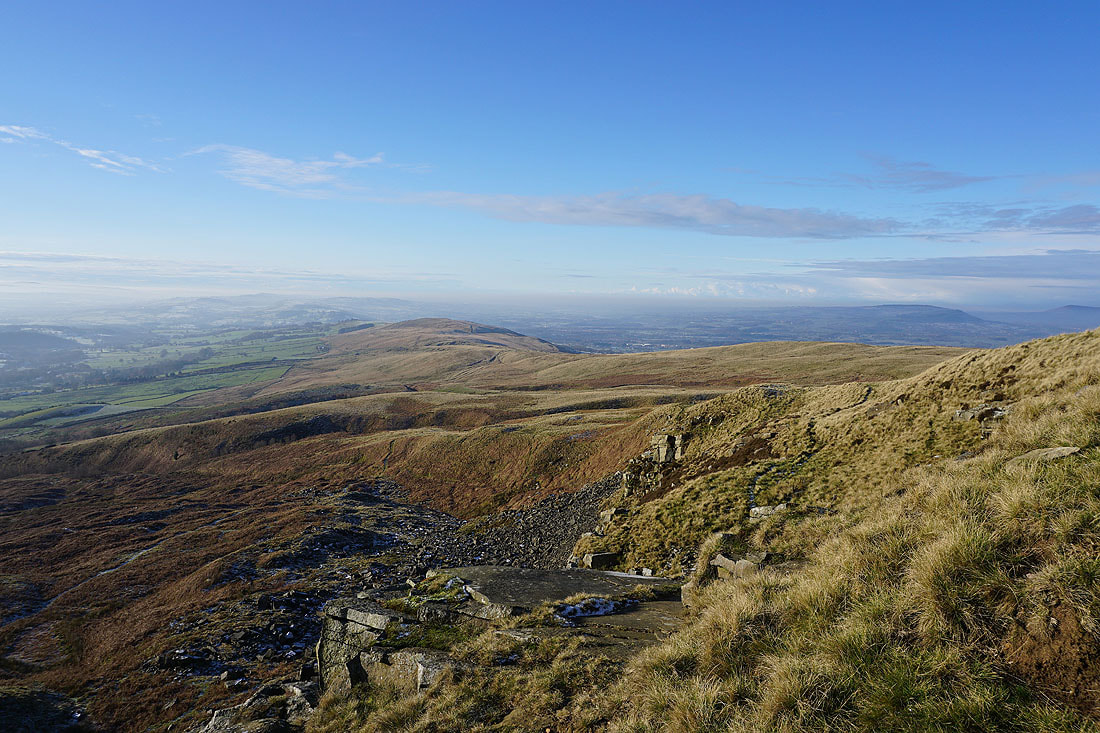
and then up the flagged path to the summit
Looking back to the Ribble Valley in the distance
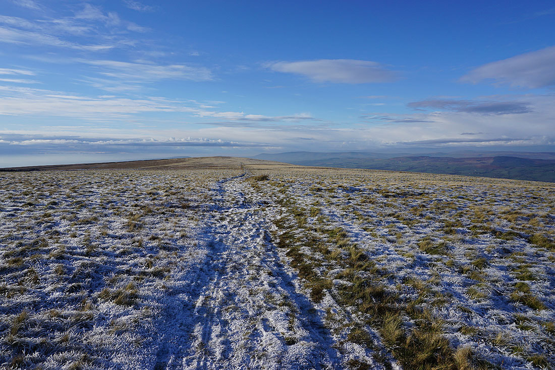
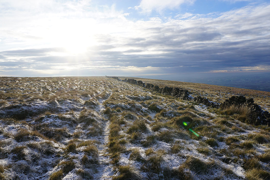
and across Downham Moor to the Forest of Bowland
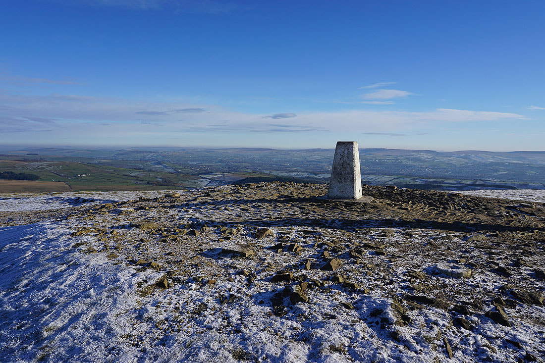
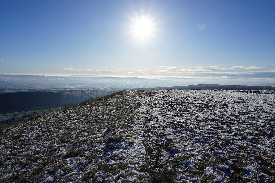
At the trig point on Pendle Hill
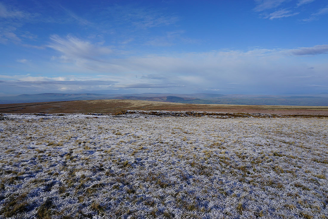
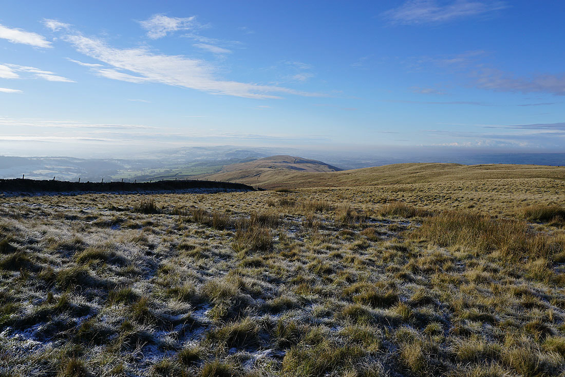
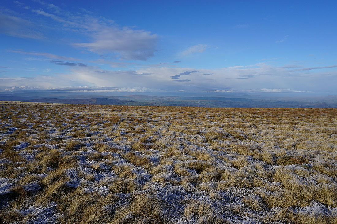
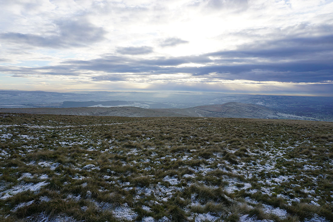
Looking across Downham Moor to the Forest of Bowland. The frost covered grass, winter moorland colours, and an interesting sky makes for some great photos.
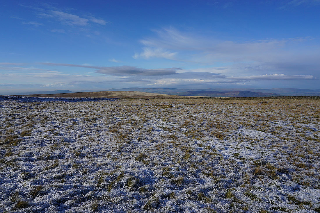
I can just make out the Yorkshire Dales in the distance to the north. There's some low-lying mist restricting the visibility.
The West Pennine Moors in the distance to the south
On the eastern edge of the hill. Twiston Moor, Rimington Moor, and Weets Hill to the northeast.
The view east from Pendle Hill with the Black Moss Reservoirs, Barley, and Lower Ogden Reservoir below, and Boulsworth Hill in the distance
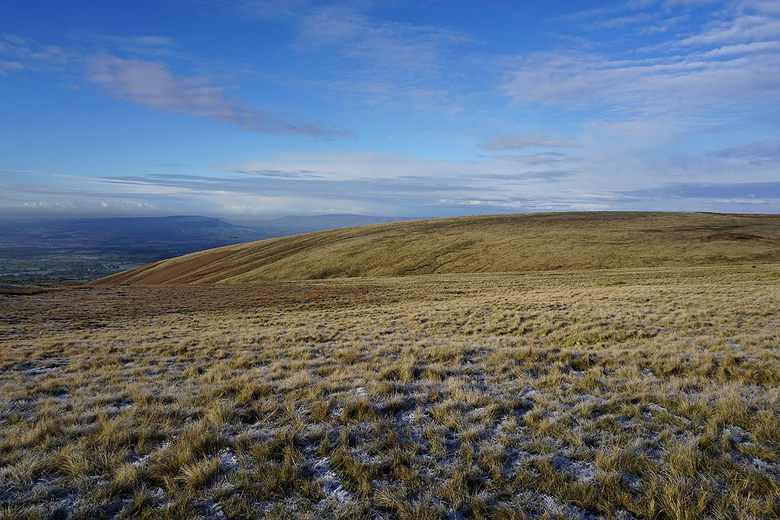
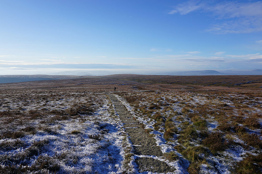
Looking across Downham Moor to the Forest of Bowland
and again, having passed through the gate onto Downham Moor
Looking northeast across Twiston Moor to Weets Hill
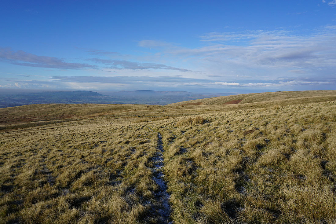
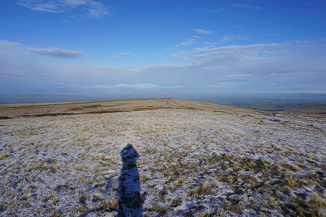
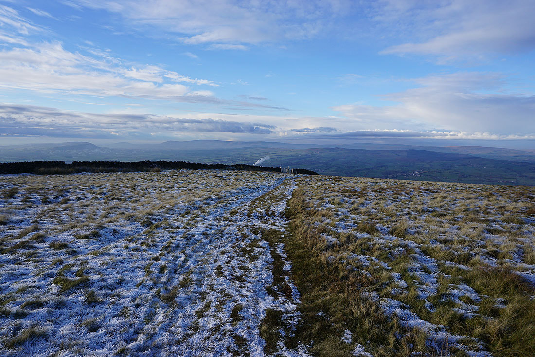
Heading across Downham Moor
To my right, views across to the Forest of Bowland, and the Yorkshire Dales..
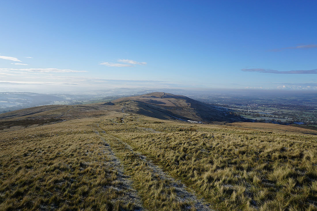
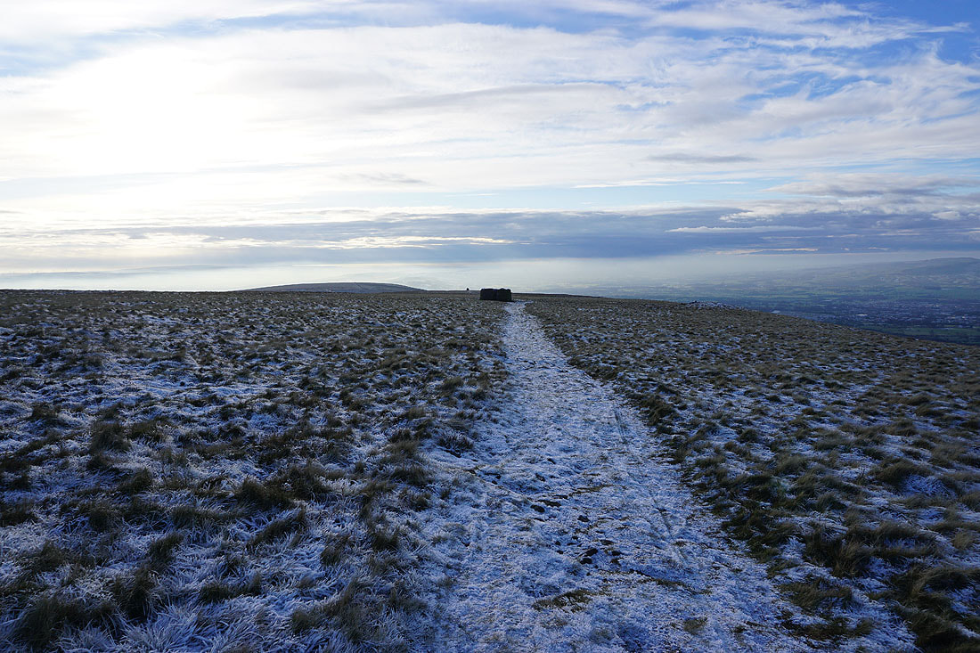
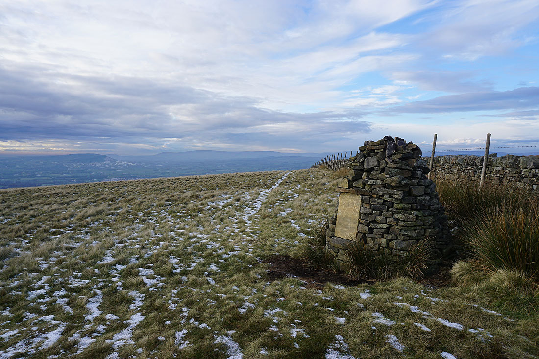
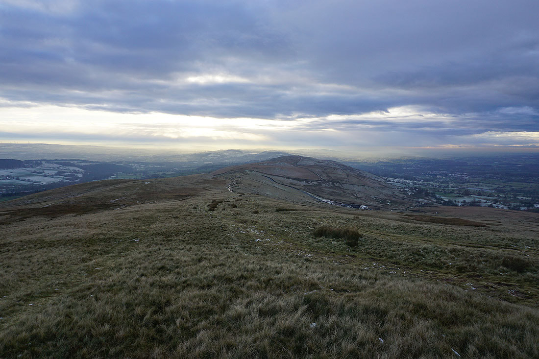
Looking back to the summit of Pendle Hill
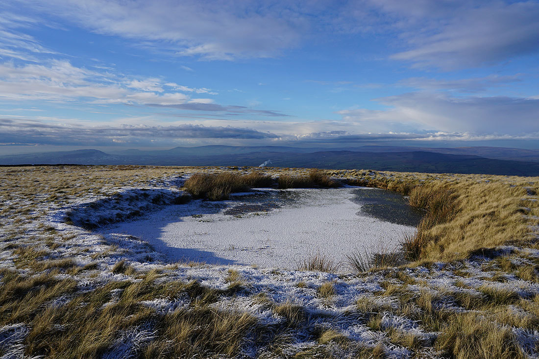
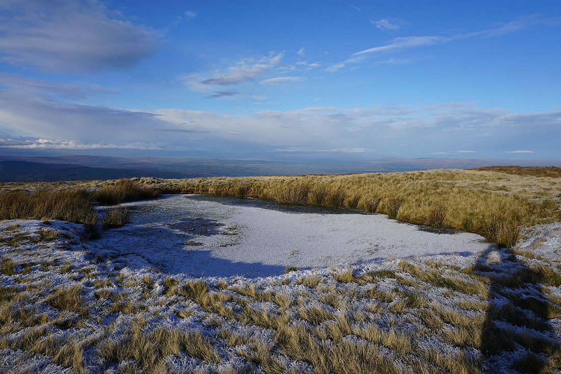
The pool on Downham Moor makes a good subject for a photo..
The West Pennine Moors in the distance beyond Spence Moor
Heading for the gate onto Worston Moor
Then across Worston Moor past the circular shelter to the Scout Cairn
I can make out the distinctive profile of Penyghent in the Yorkshire Dales as I look up the Ribble Valley from the edge of Worston Moor
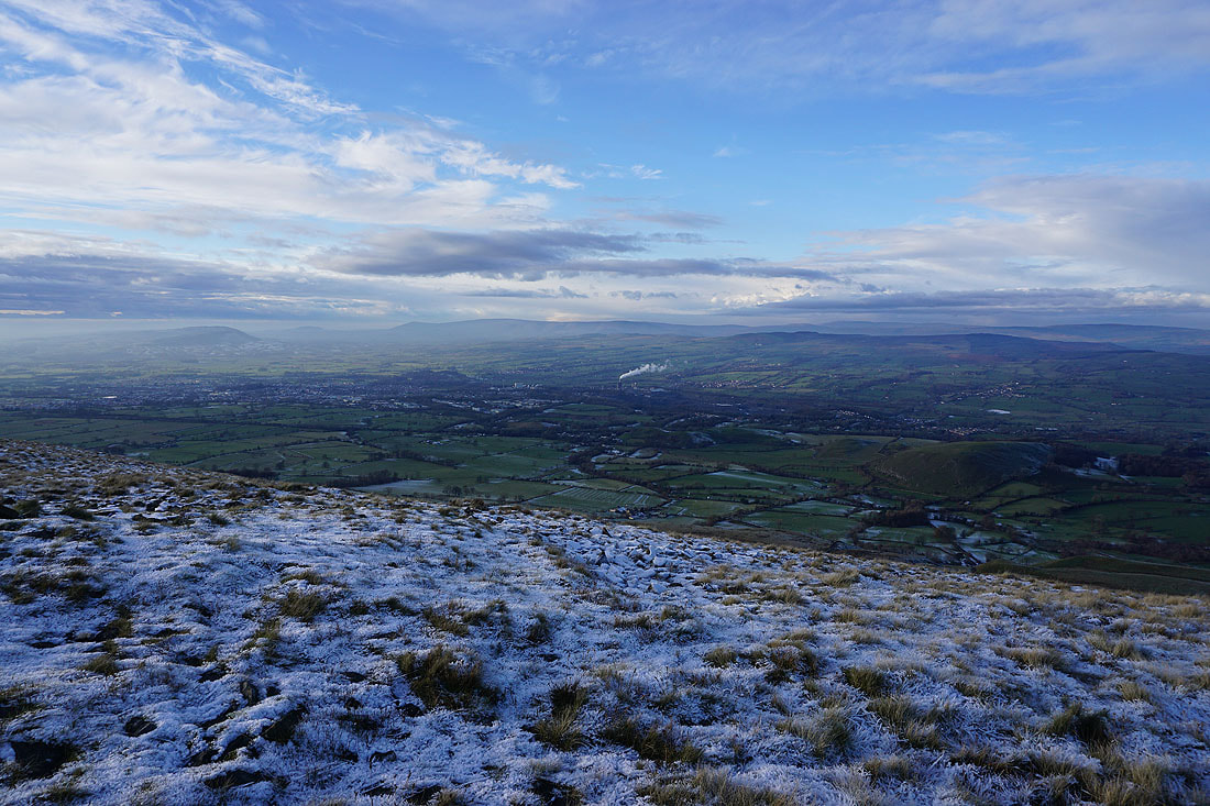
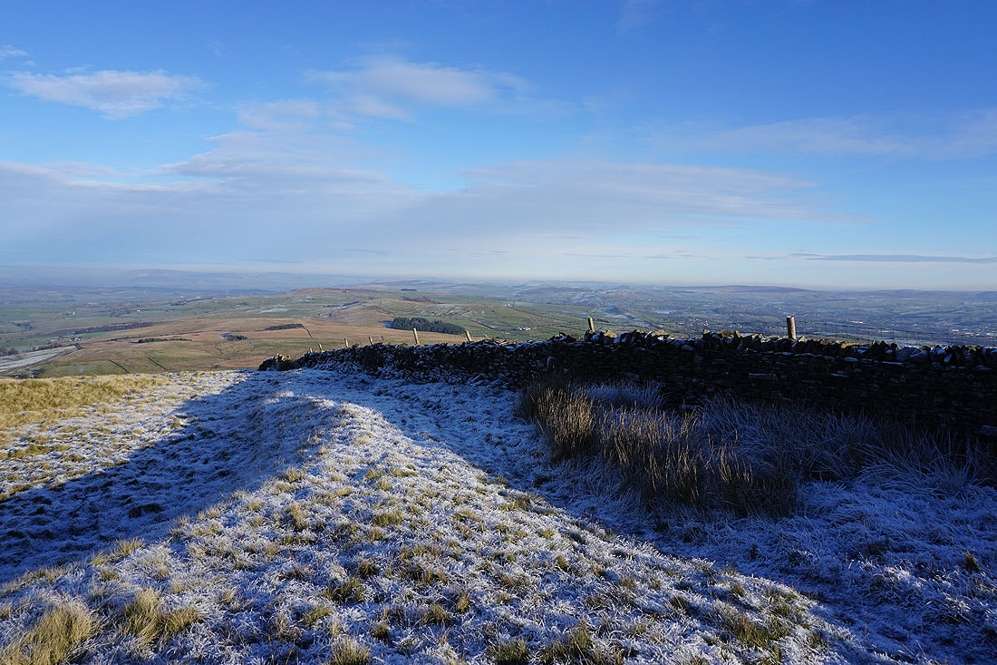
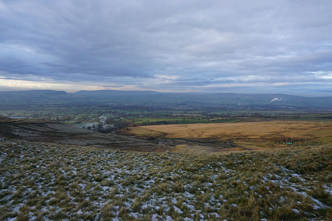
Looking across Clitheroe to the Forest of Bowland
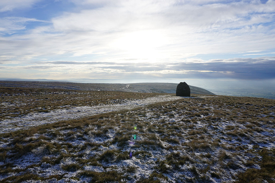
Approaching the Scout Cairn, with Mearley Moor behind it
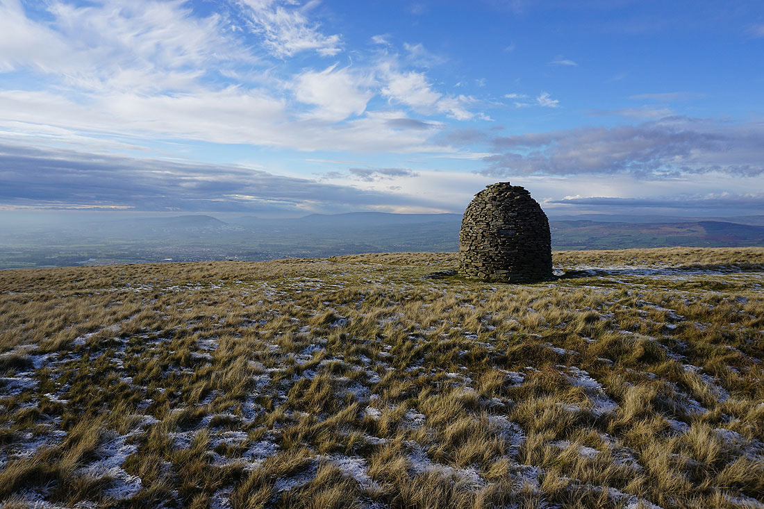
At the Scout Cairn, with the Forest of Bowland in the background
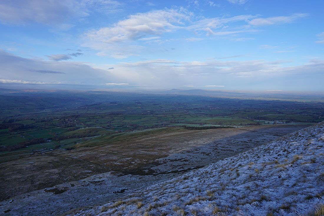
The Ribble Valley below as I cross the top of Mearley Brook
On Mearley Moor. I can make out the dark and unmistakeable profile of Ingleborough in the distance.
Heading across a frosty Mearley Moor
The Clayton-le-Moors Harriers cairn at the western end of Mearley Moor
Looking across Pendleton Moor to the West Pennine Moors in the distance
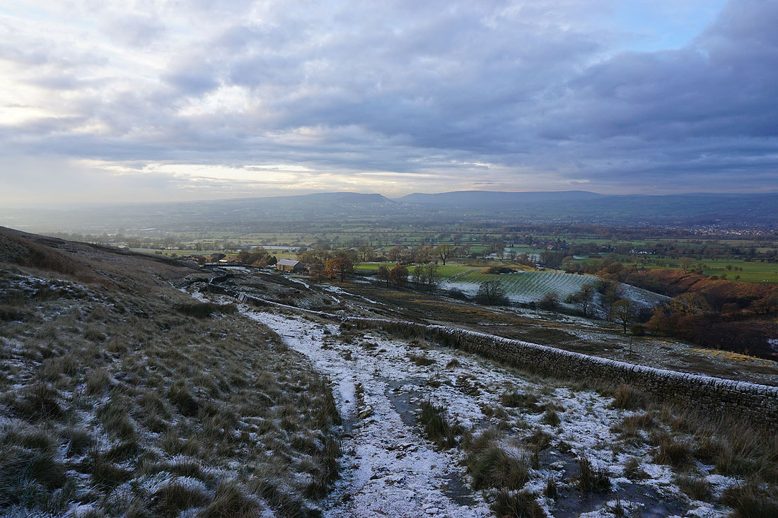
Across Howcroft Brook and heading across Pendleton Moor to the Nick of Pendle..
Looking across the Ribble Valley to the Forest of Bowland from the Nick of Pendle
On the other side of the Nick of Pendle and I can make out Ingleborough and Penyghent in the distance
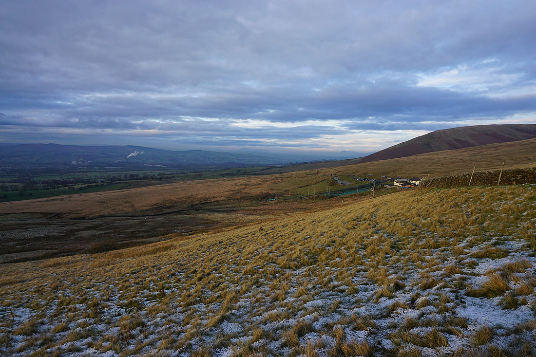
Having crossed the road at the Nick of Pendle, following the path down to Wymondhouses Farm..
A ray of sunshine of Pendleton Moor
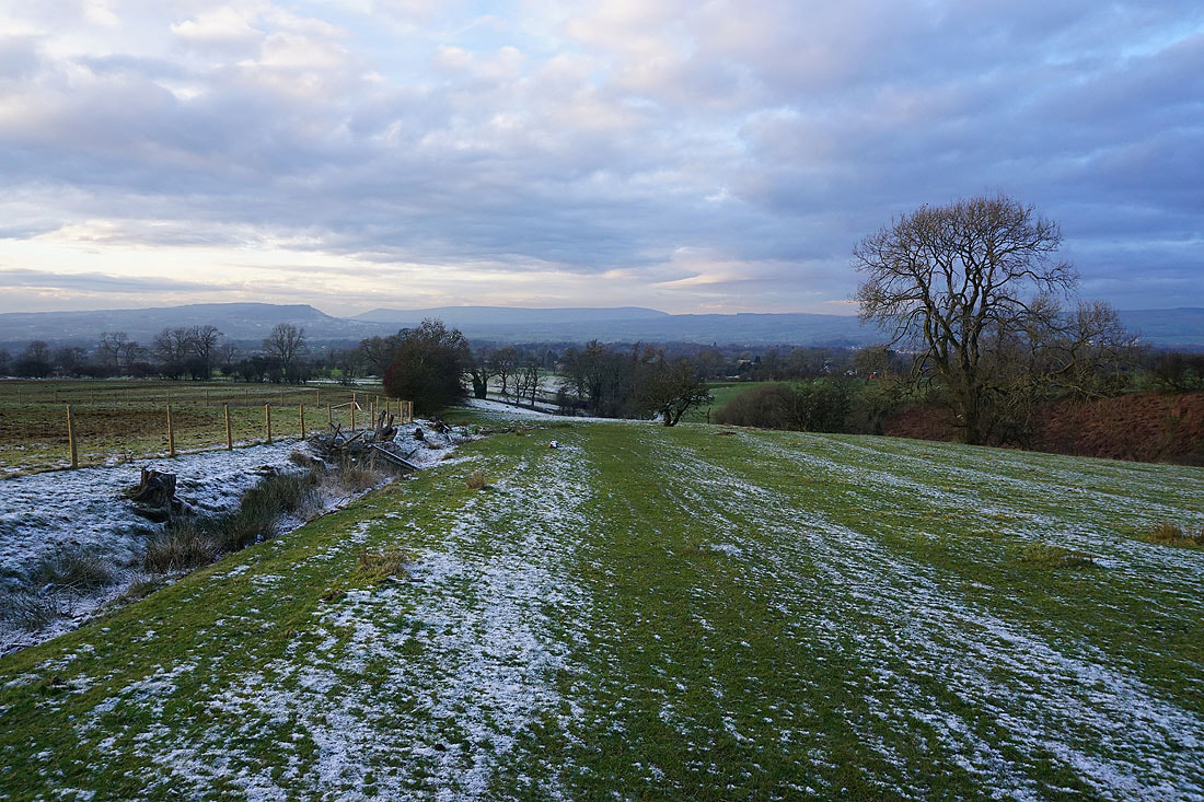
Making my way down through fields back to Pendleton