2nd February 2013 - The Howgills
Walk Details
Distance walked: 7.5 miles
Total ascent: 2567 ft
OS map used: OL19 - Howgill Fells & Upper Eden Valley
Time taken: 6 hrs (I took my time on the way back down)
Route description: Sedbergh-Lockbank Farm-Settlebeck Gill-Arant Haw-Rowantree Grains-Calders-The Calf-Calders-Rowantree Grains-Arant Haw-Winder-Lockbank Farm-Sedbergh
At long last, a day of decent weather at the weekend and I can do a "proper" hill-walk. Not one of the short ones I've done recently with not much in the way of ascent.
A bitterly cold wind was blowing on the tops that didn't make it easy to take photos. Every time I took my gloves off to use my camera my hands were numb with the cold in about five minutes. The cold polar air does mean excellent visibility to appreciate the superb views to be had from the Howgill summits.
After parking in Sedbergh I made my way up Howgill Lane to Lockbank Farm and then through the farmyard. Once through the last gate I turned right to follow the path round the side of Winder to Settlebeck Gill. This was where the path started to head uphill bound for The Calf. The summits of Arant Haw and Calders were visited along the way. My route down was the reverse of that on the way up except for the fell of Winder.
Route map
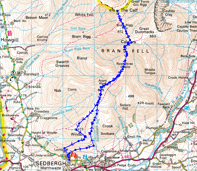
© Crown copyright. All rights reserved. License number PU 100034184.
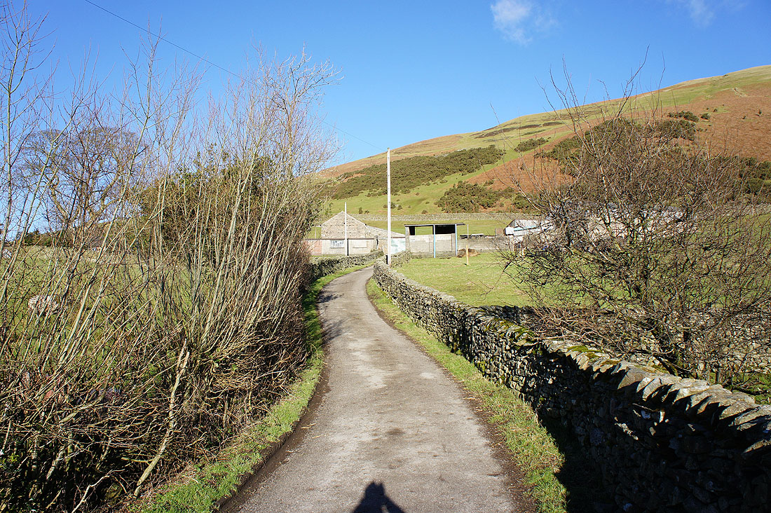
On the track to Lockbank Farm with the slopes of Winder rising behind
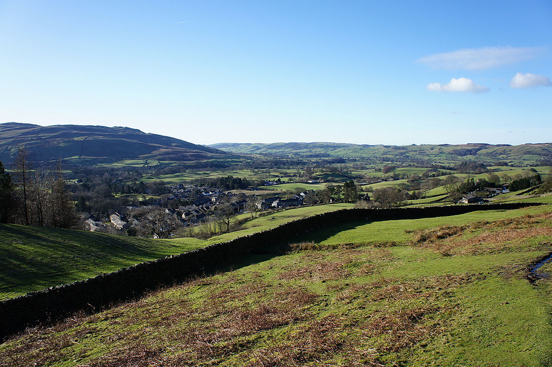
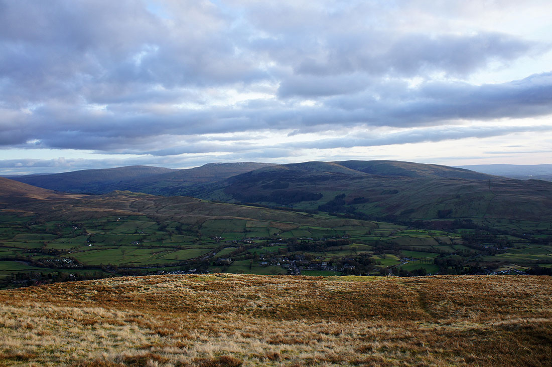
Looking back to Sedbergh in the Rawthey valley
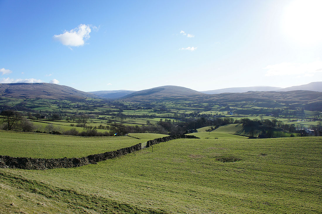
and across the Rawthey valley to Baugh Fell, Garsdale and Rise Hill
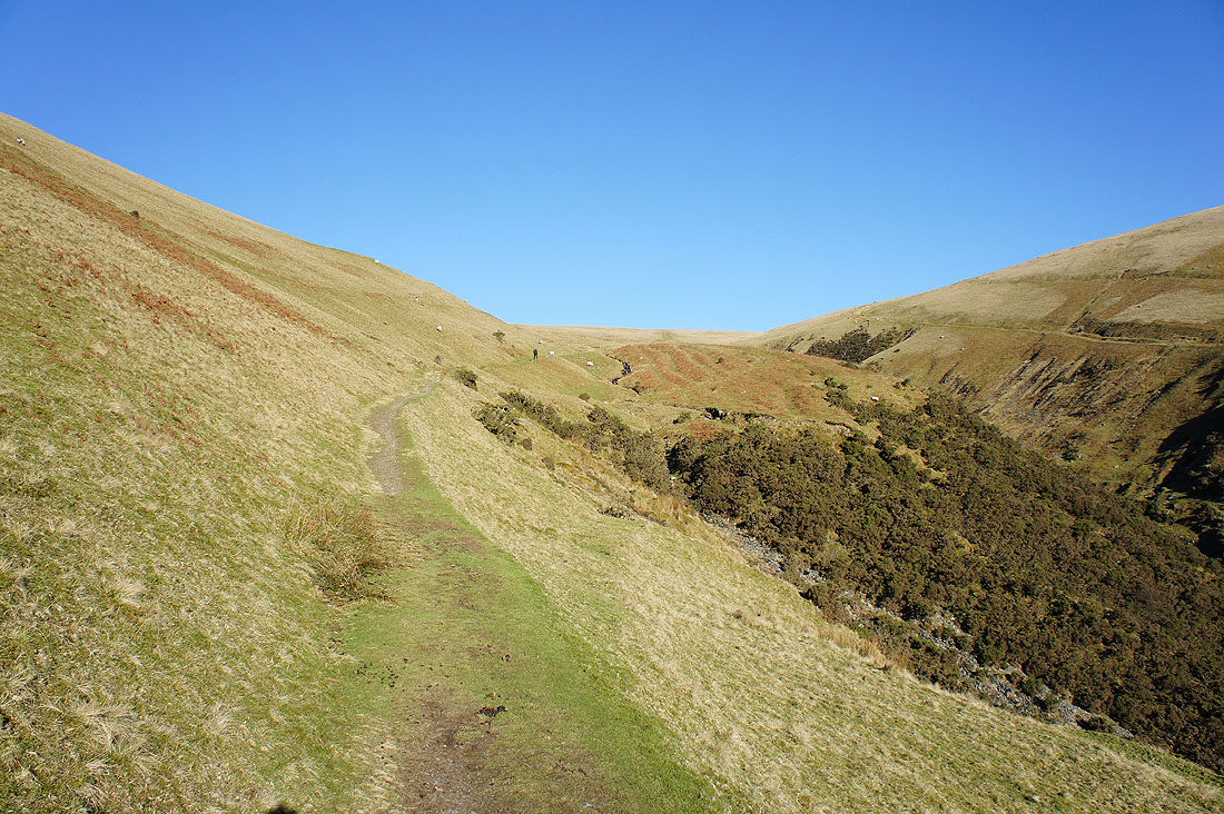
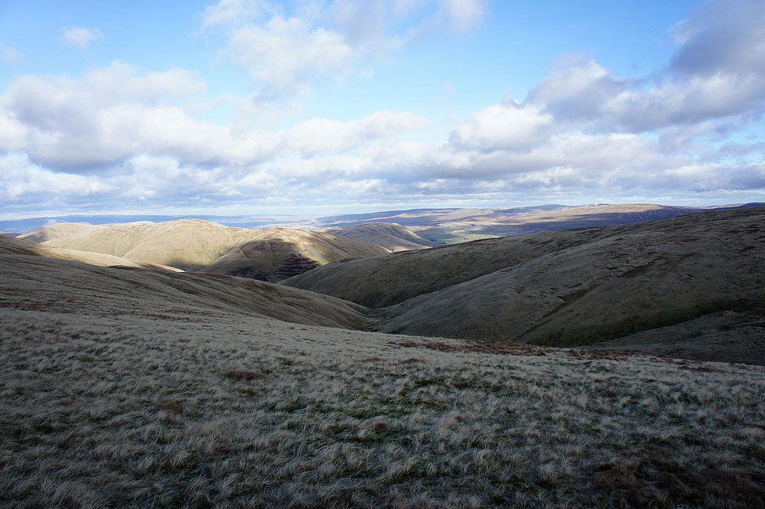
Now the hard work begins. The path heads up the east flank of Winder beside Settlebeck Gill.
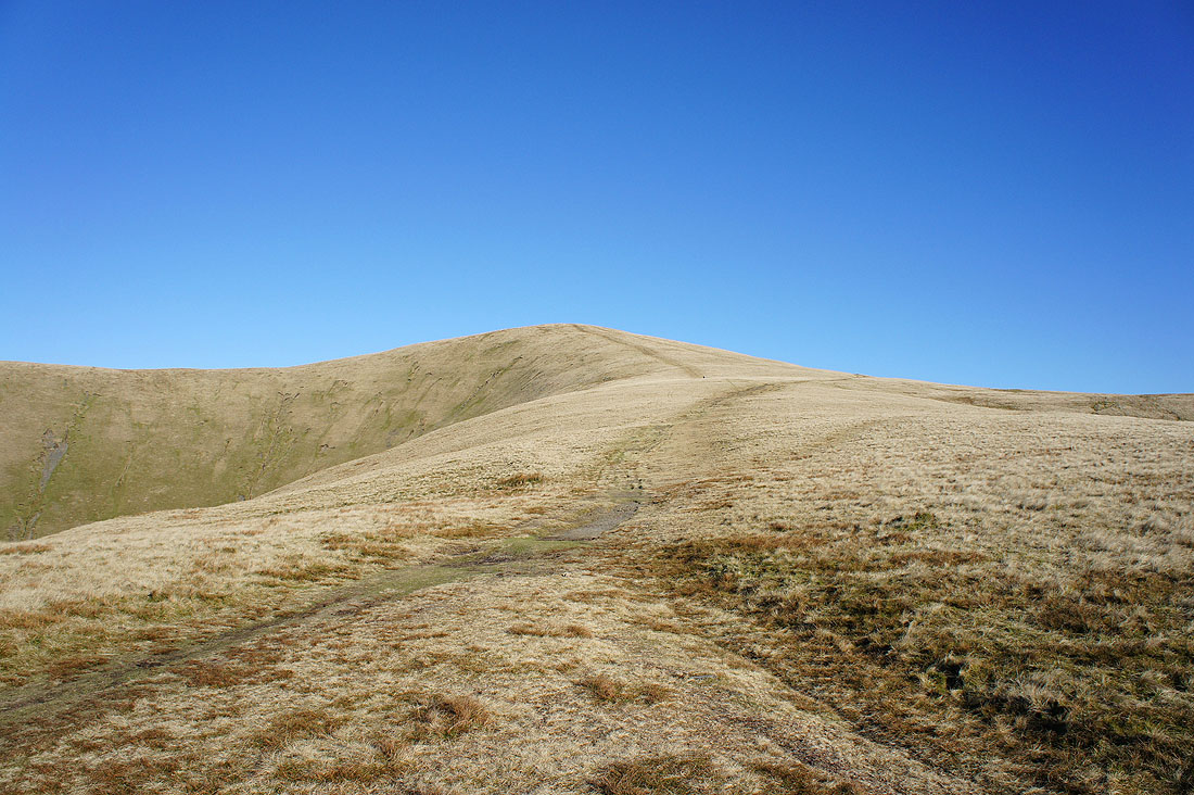
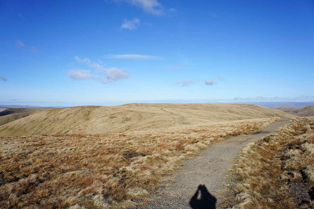
The path from Winder has been joined as I head for Arant Haw
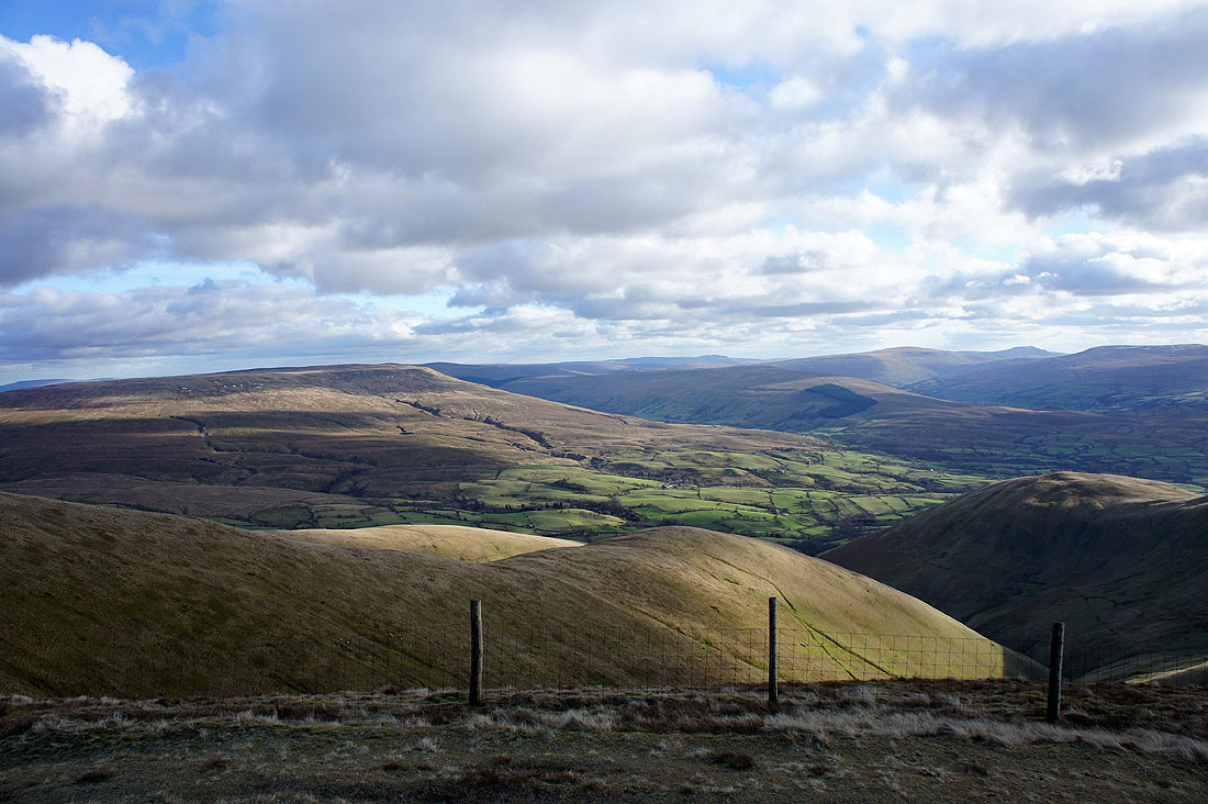
The first view of the day of the Lake District fells across the Lune valley
A couple of shots from the summit of Arant Haw. I'll be paying it longer visit on the way back. Here I'm looking to the next summit of Calders.
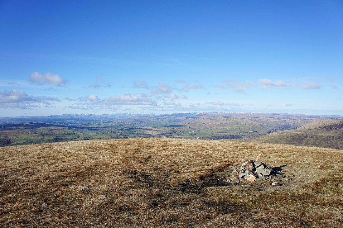
The Lake District fells in the distance
Back on the bridleway to Calders. It actually by-passes Arant Haw.
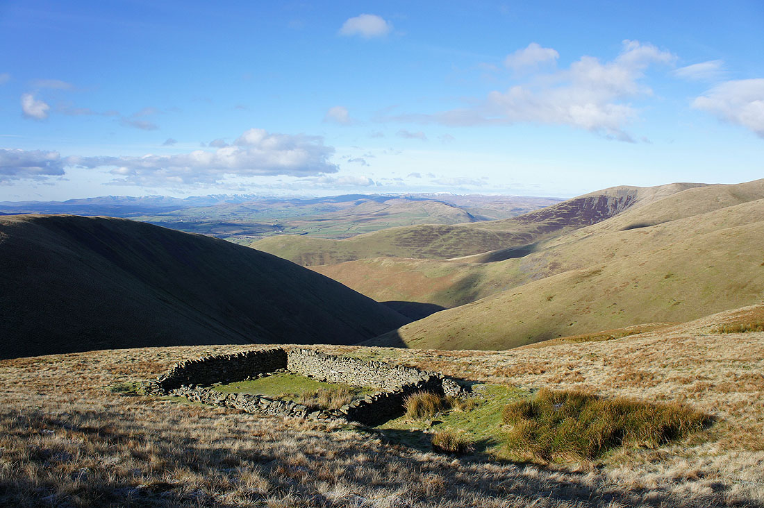
A sheepfold with a view
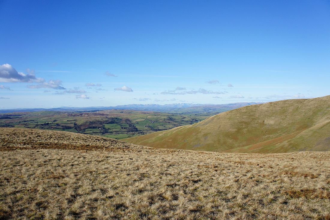
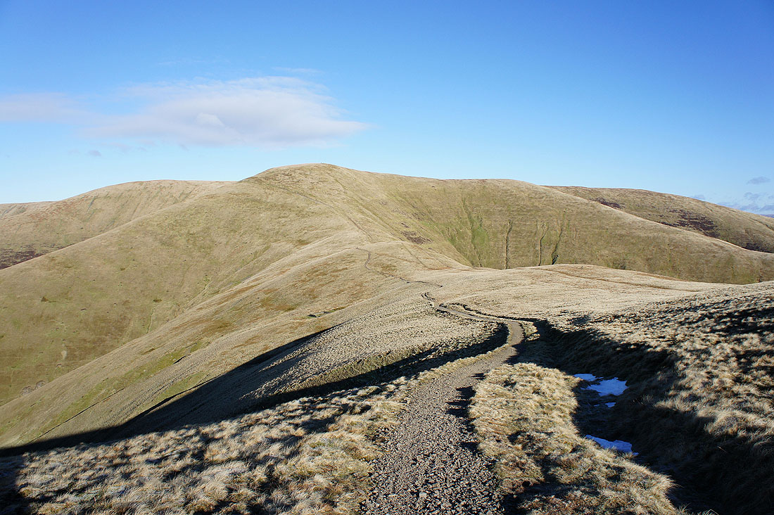
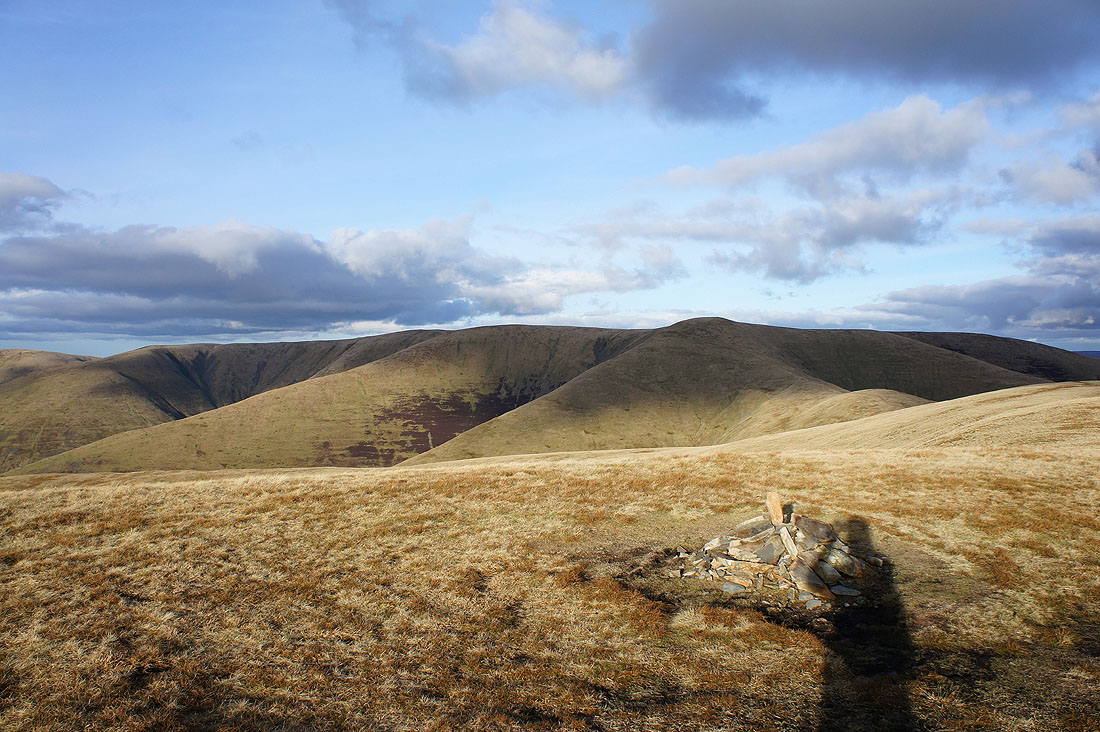
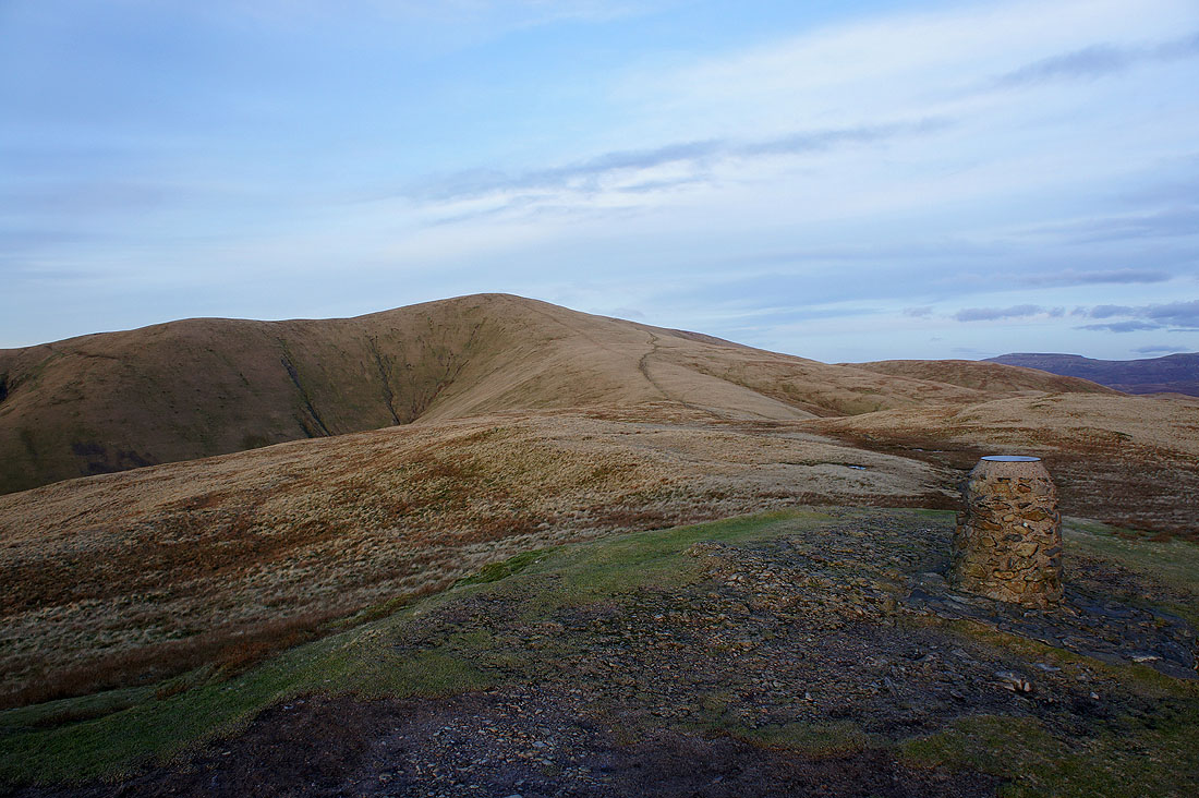
On Calders with The Calf now in sight
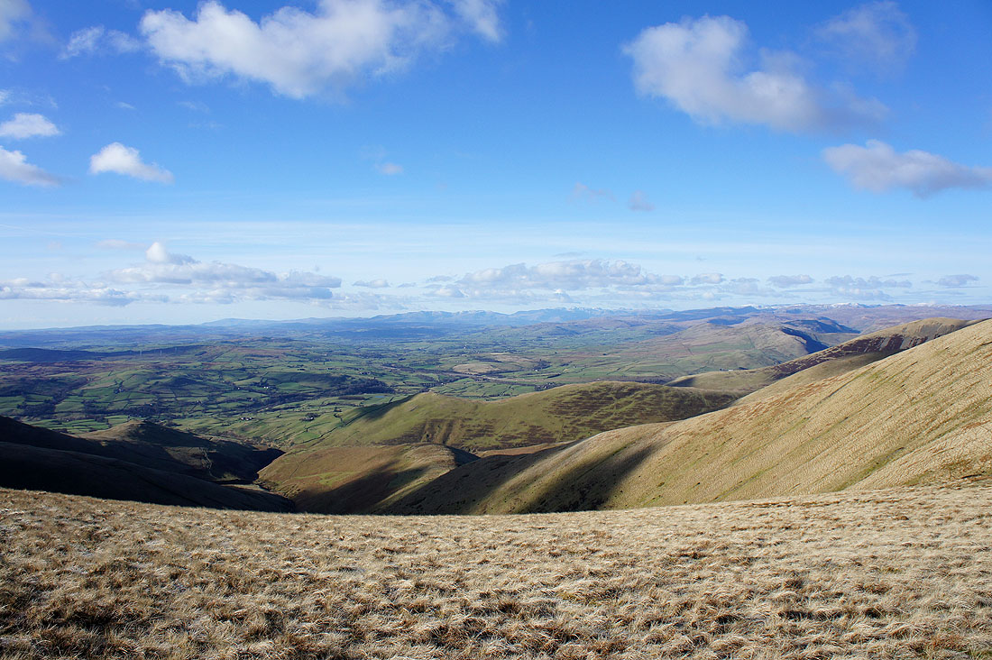
Great views as I head for The Calf
On the roof of the Howgills, The Calf
Cross Fell and the North Pennines in the distance
Morecambe Bay to the southwest
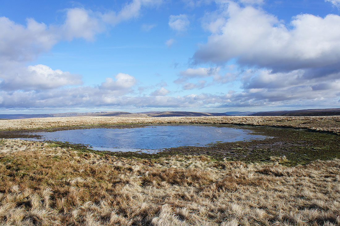
The summit tarn
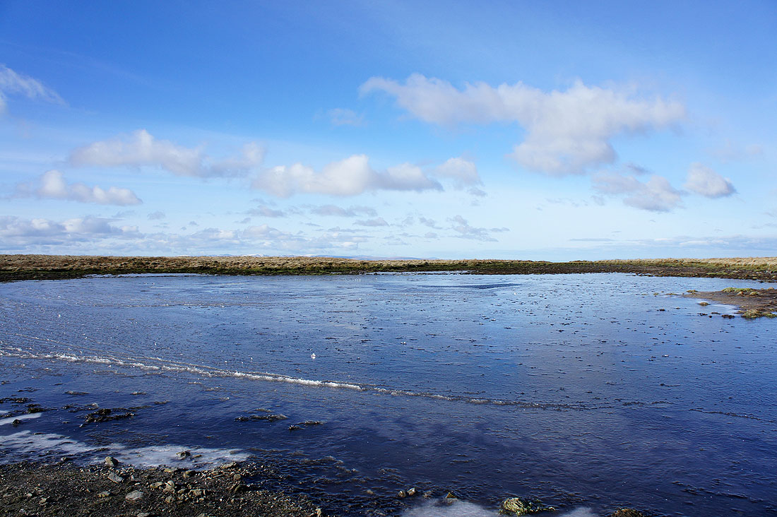
The ripples caused by the wind have been frozen in place and there's just a small patch of open water in the middle
A walk past the tarn brings me a view of Wild Boar Fell and Swarth Fell
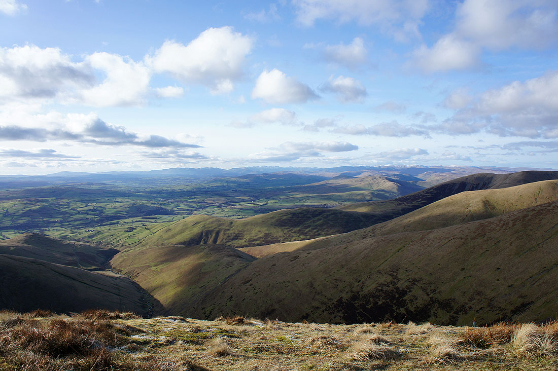
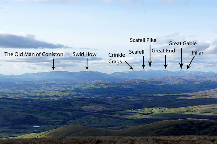
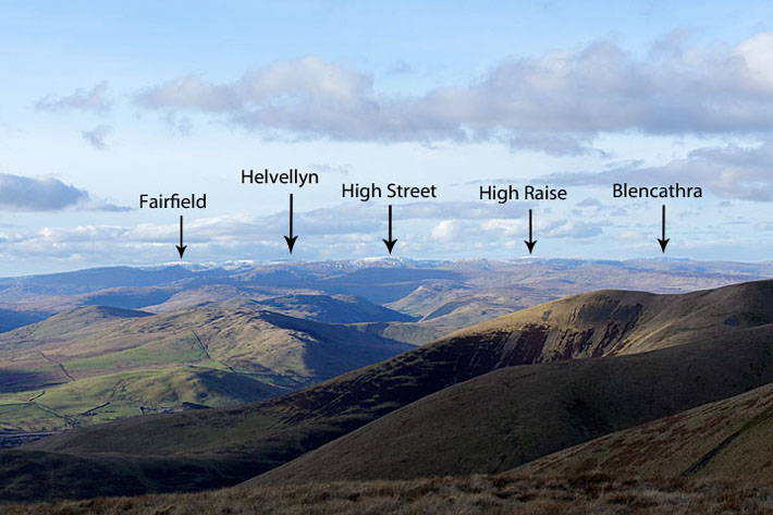
The Lake District fells from The Calf
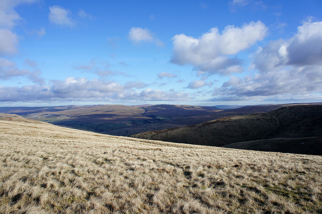
Heading back to Calders and this is Red Gill Beck which heads for the top of Cautley Spout
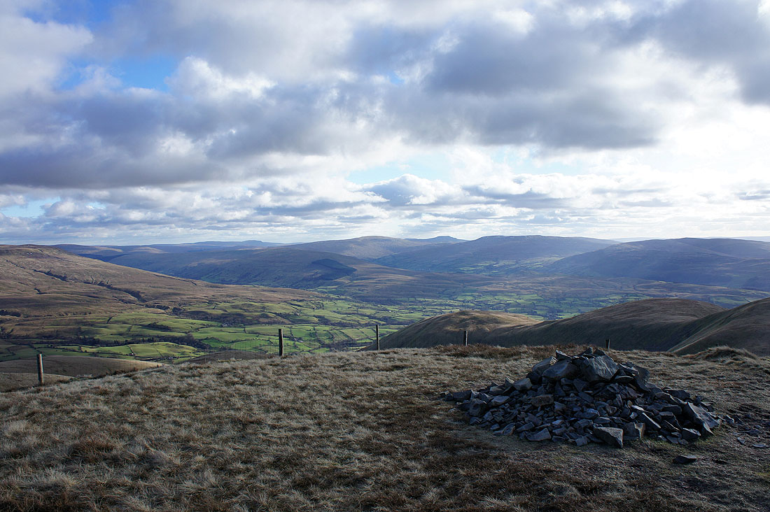
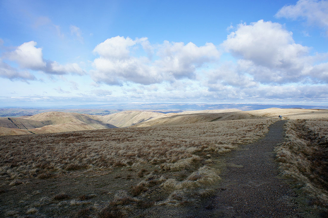
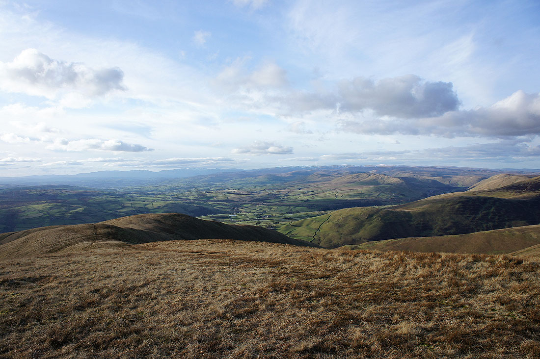
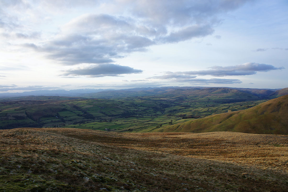
Back on Calders and a more comprehensive look at the view. The Rawthey valley is below while in the distance are Penyghent, Whernside, Ingleborough, Great Coum and Middleton Fell in the Yorkshire Dales.
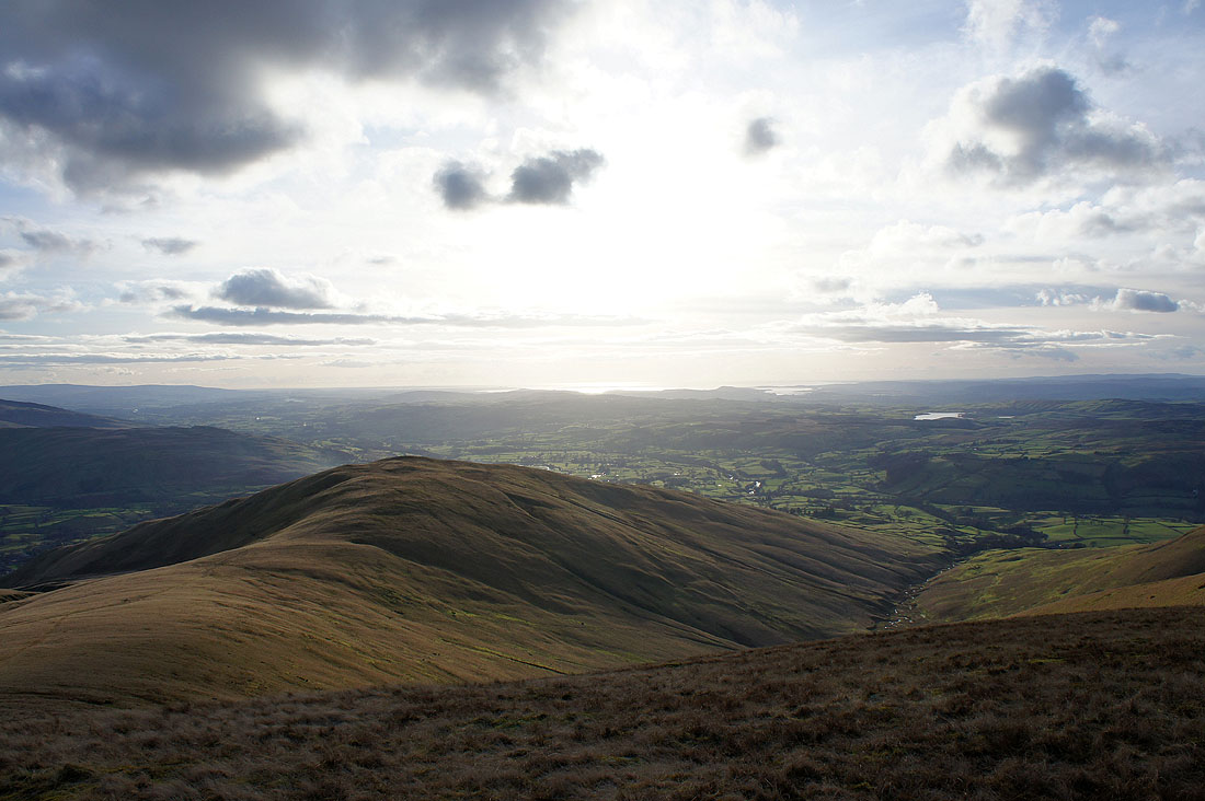
Arant Haw with Morecambe Bay beyond
Wild Boar Fell and Swarth Fell beyond the neighbouring Howgills fell of Great Dummacks
Baugh Fell is on the left on the other side of the Rawthey valley
I took this shot of the Lake District fells beyond Howgills ridges by walking west from the summit until the ground started to drop steeply away. I've picked out some of the fells in view in the next couple of shots.
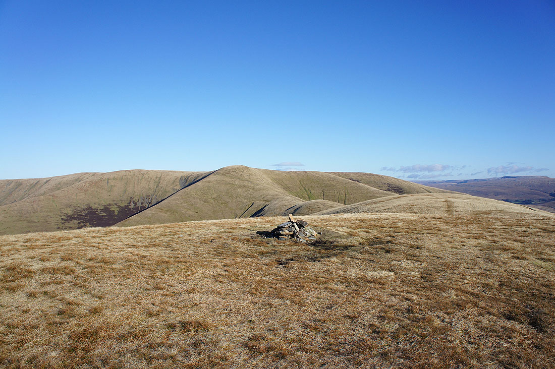
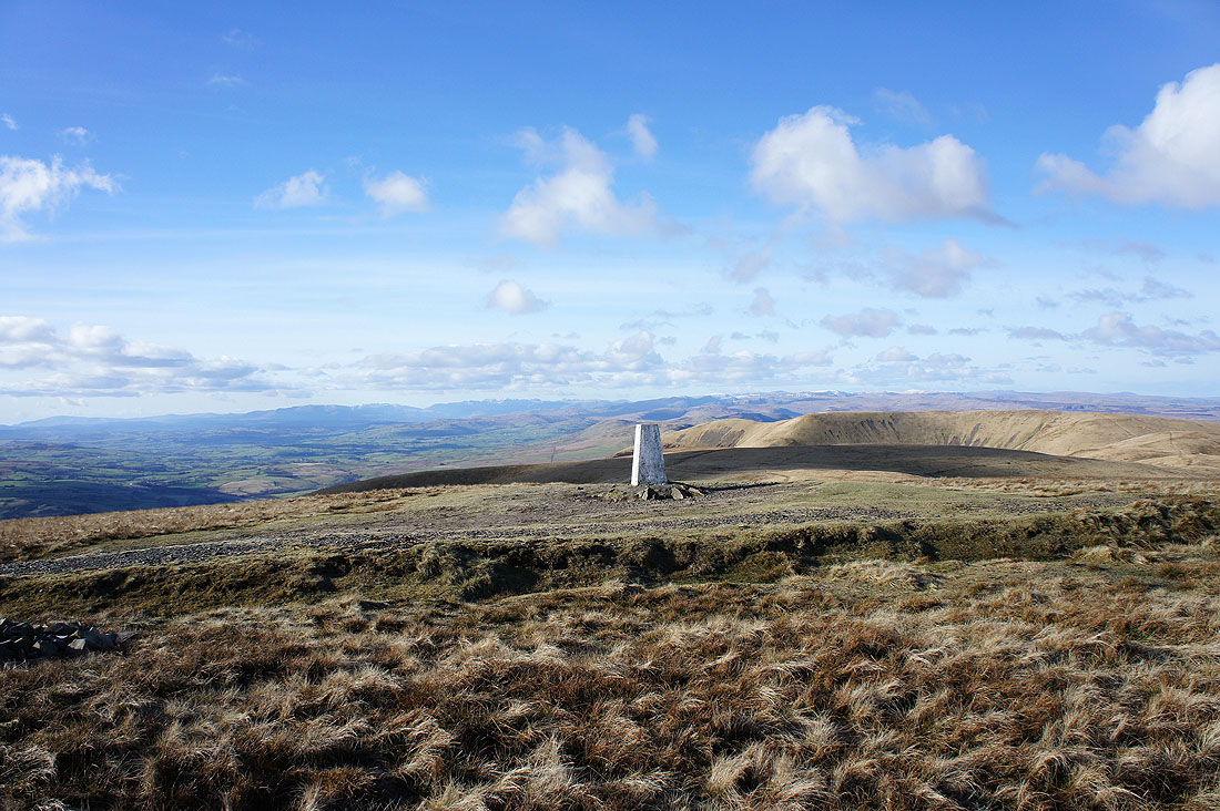
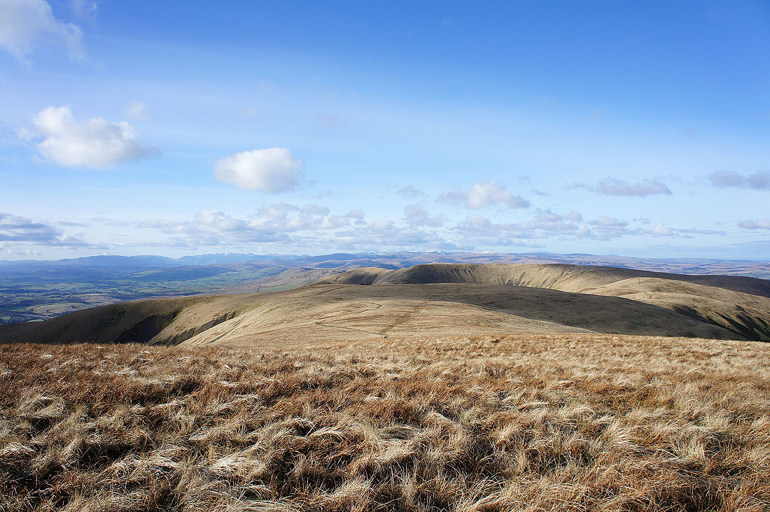
On Arant Haw again. The Calf, Bram Rigg Top and Calders.
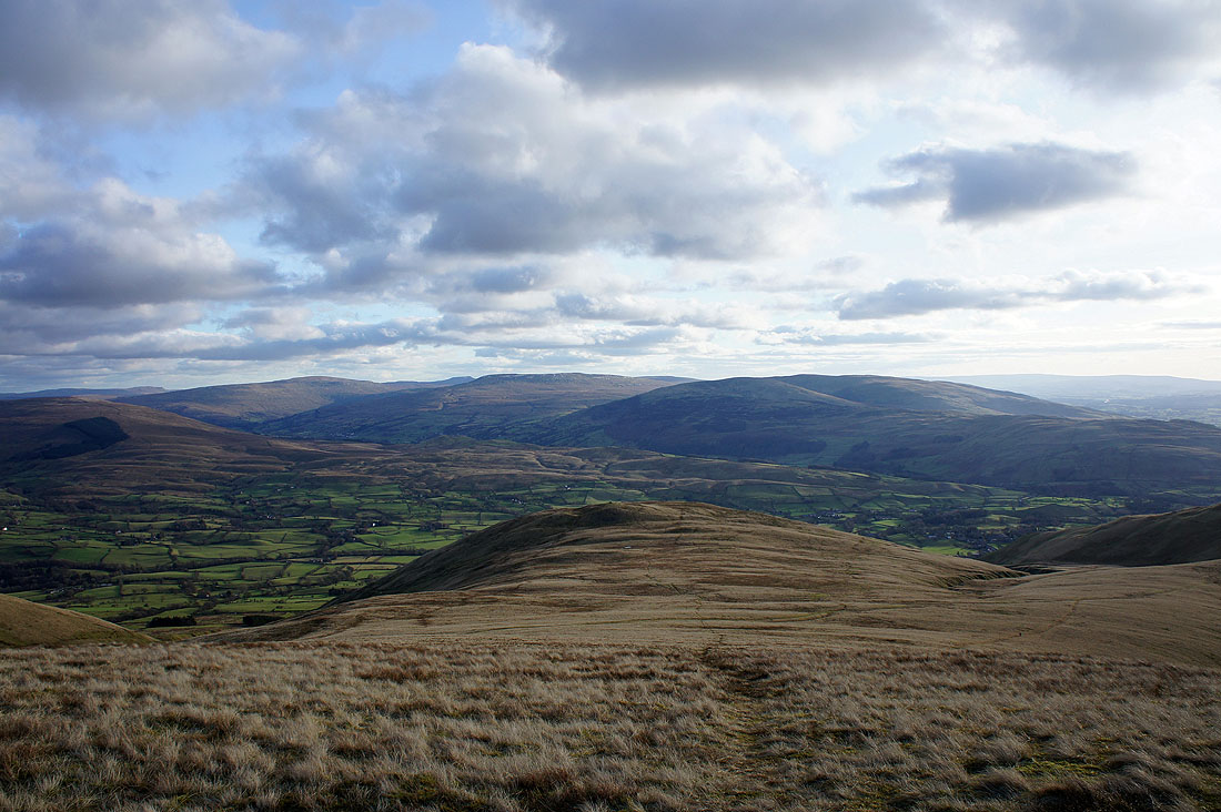
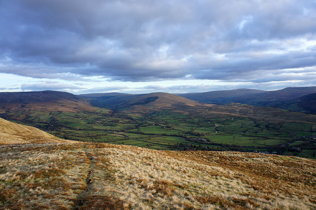
Penyghent, Whernside, Ingleborough just visible, Great Coum and Middleton Fell. At the bottom of the slope is Crook, which I've visited in the past. It has an interesting knobbly top.
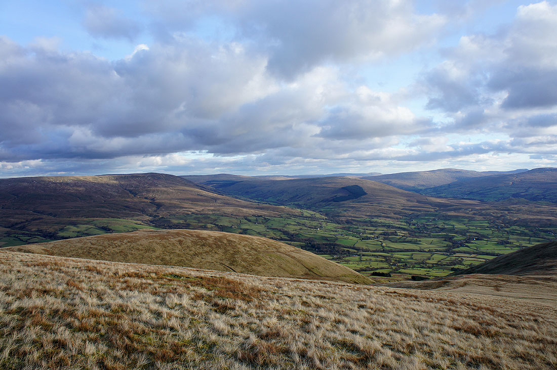
Baugh Fell, Great Knoutberry Hill, Rise Hill, Penyghent, Whernside and Ingleborough
Zooming in on Penyghent, Whernside and Ingleborough
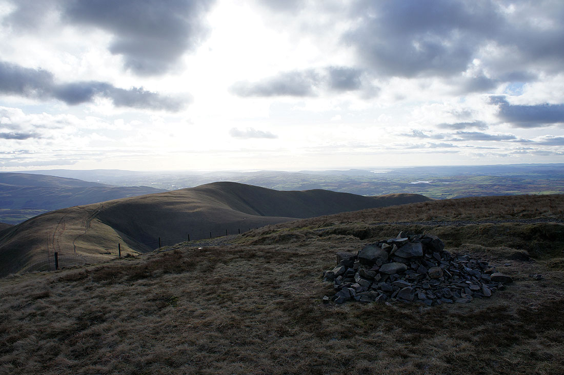
My last port of call, Winder, just below with the Lune valley and Morecambe Bay behind
A great view of the Lake District fells in the distance
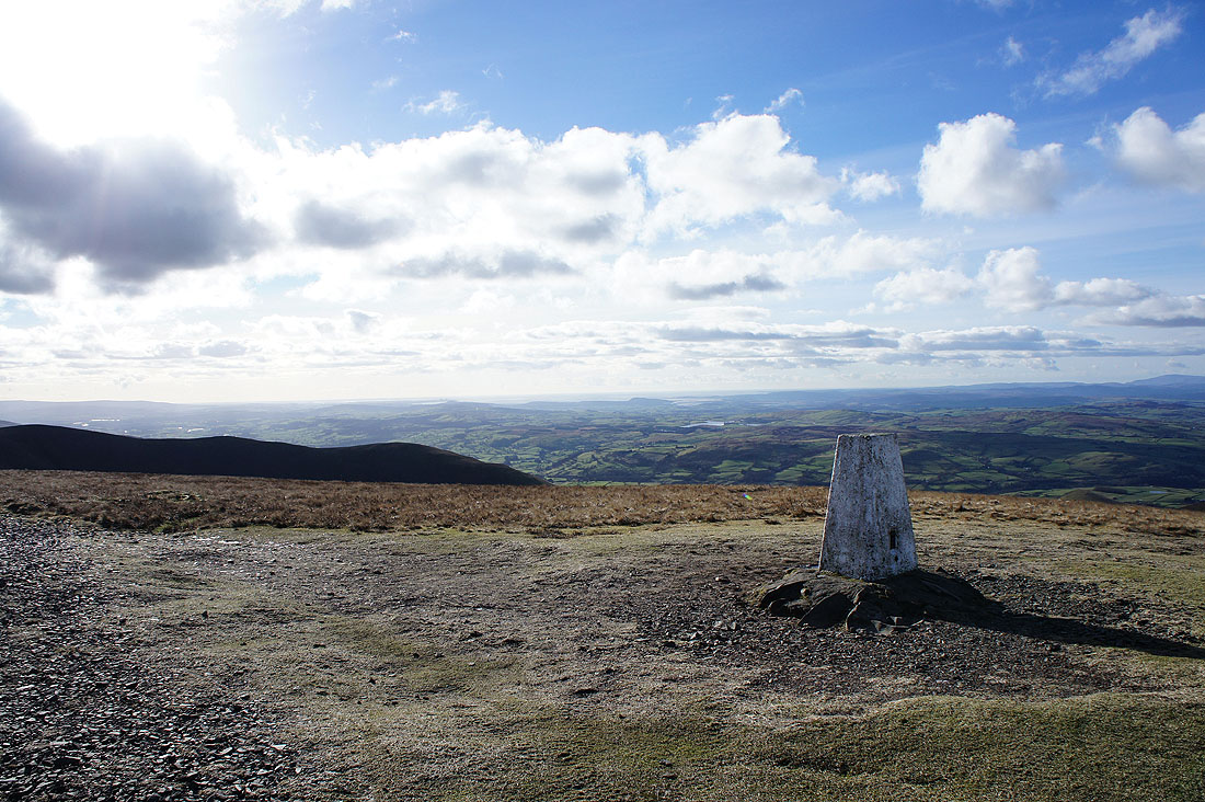
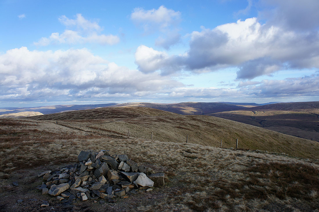
On the last summit of the day, Winder. I bypassed it on the way up.
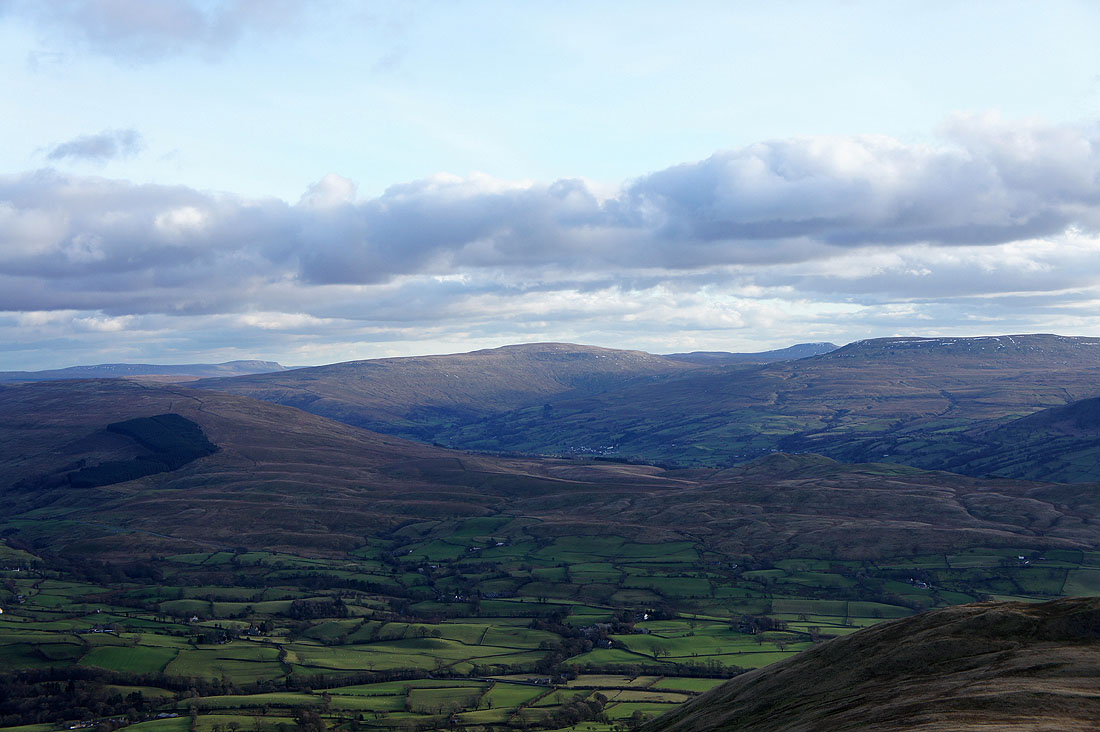
Baugh Fell and Rise Hill either side of Garsdale with Great Knoutberry Hill appearing to be at the valley's head. Whernside is on the right of the photo.
Whernside, Great Coum and Middleton Fell
The Lune valley below with the Lake District fells in the distance
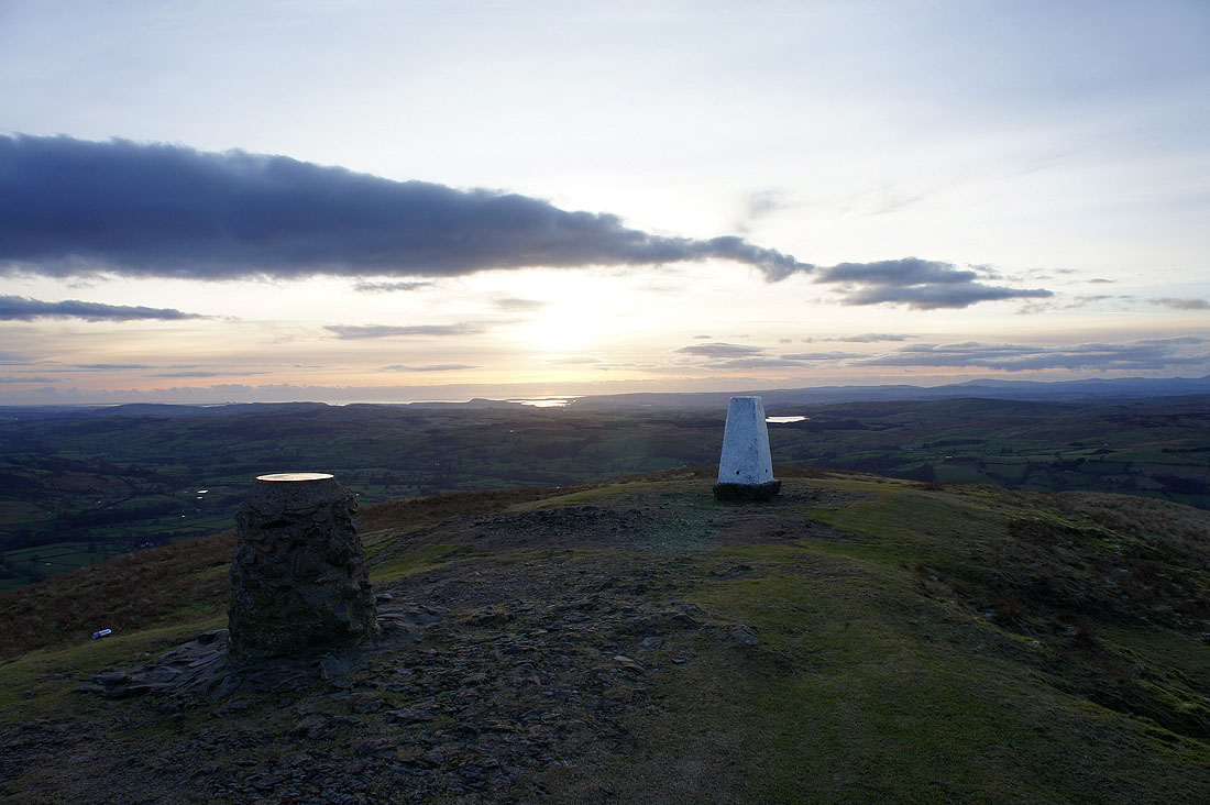
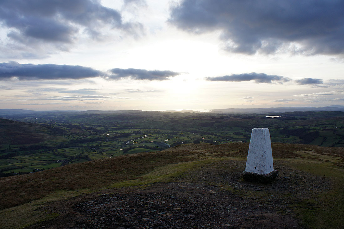
The sun starts to set over Morecambe Bay. That's Killington Lake next to the trig point.
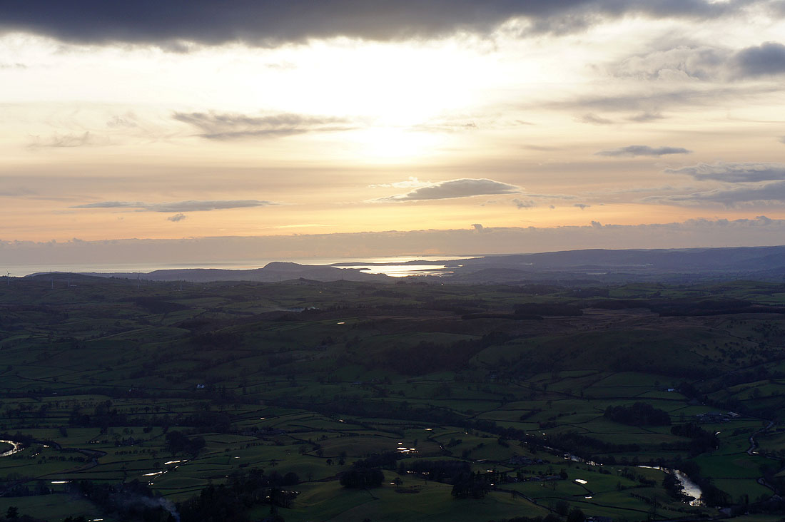
Zooming in on the Kent estuary with the hill of Arnside Knott just to its left
A last look back up to Arant Haw before..
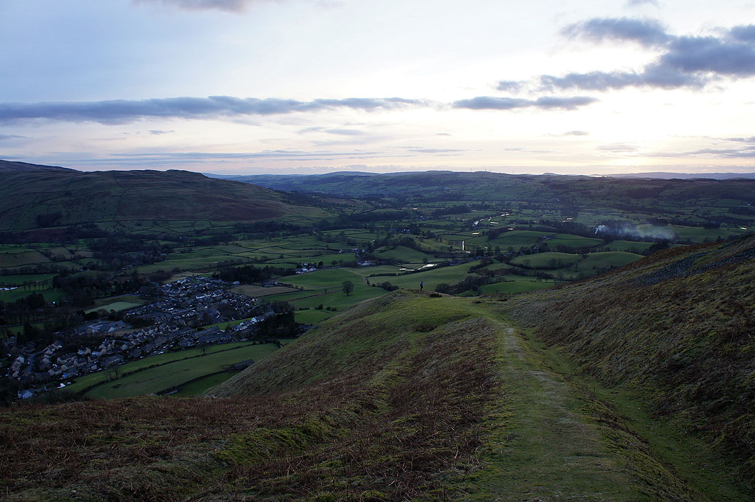
..I head down to Sedbergh