2nd February 2014 - Malham Moor & the Dales Way
Walk Details
Distance walked: 11.0 miles
Total ascent: 1520 ft
OS map used: OL2 - Yorkshire Dales, Southern & Western areas
Time taken: 6 hrs
Route description: Grassington-Linton Falls-Threshfield-Skirethorns-Wood Nook caravan site-Height House-Height Laithe-Malham Moor-Mastiles Lane-Conistone-Conistone Dib-Dales Way-Conistone Pie-Dales Way-Grassington
With the weather the way it is at the moment it would seem that a good day is one where it isn't blowing a gale and lashing it down. So, after yesterday today was a good day. It was windy (that goes without saying) and a few brief showers passed through on the first half of the walk but it brightened up throughout the day.
From the car park in Grassington I made my way down to Linton Falls. I crossed the falls and continued to Threshfield and then Skirethorns to reach the caravan site at Wood Nook. A footpath goes through the site and continues uphill past Cow Close Wood to Height Laithe. I then crossed Malham Moor to reach Mastiles Lane which I then followed briefly to head down to the road up through Wharfedale. Across the road I walked through the hamlet of Conistone and up Conistone Dib to the Dales Way. I made a short detour north to the limestone outcrop of Conistone Pie before making my way back to Grassington along the Dales Way.
Route map
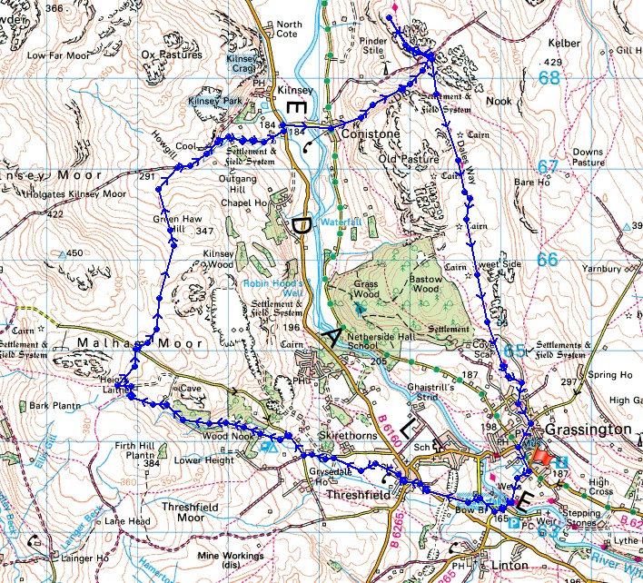
© Crown copyright. All rights reserved. License number PU 100034184.
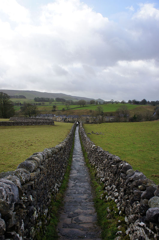
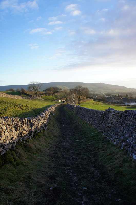
The walled track from the car park in Grassington that heads down to Linton Falls. I could hear them while I was putting my boots on.
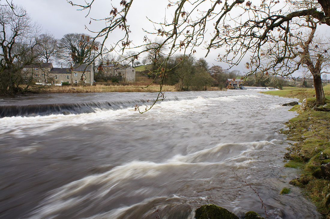
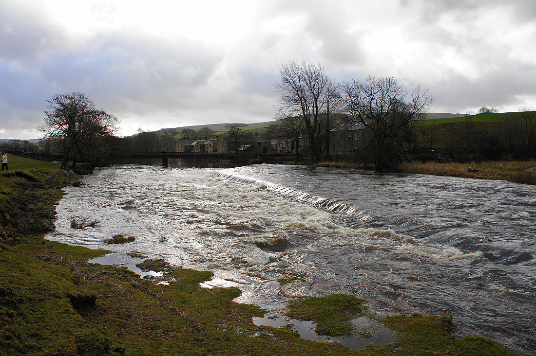
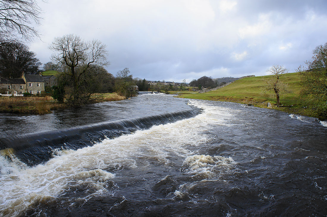
The weirs upstream from the tin bridge..
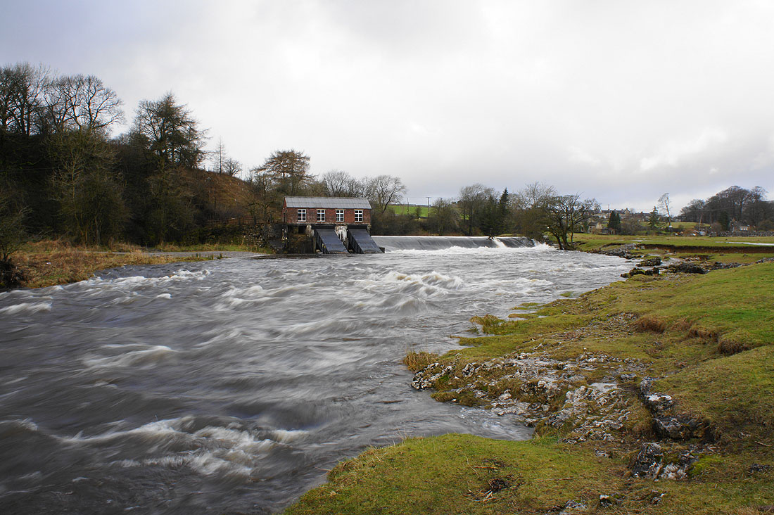
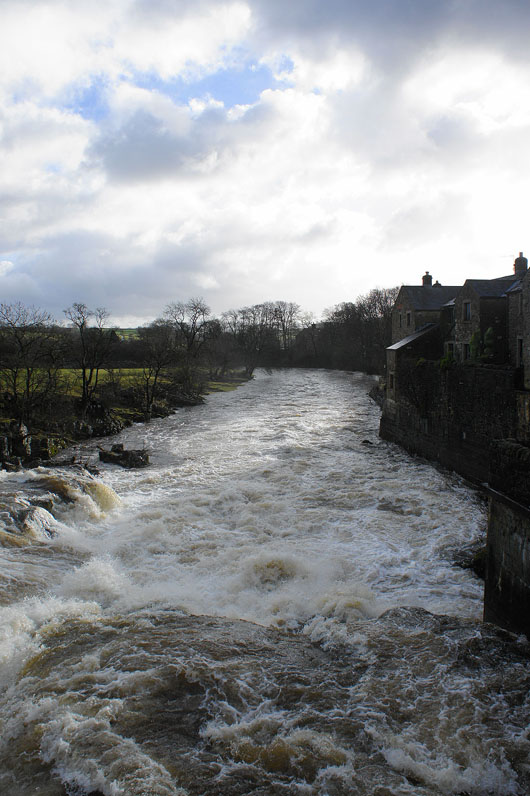
Looking back to the tin bridge from the lower weir
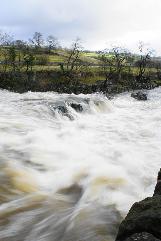
Linton Falls from the tin bridge..
A short video to show the power of the falls
Having spent some time at the falls I need to get a move on. Crossing a field to Threshfield.
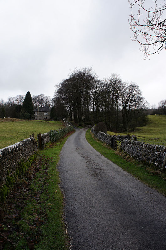
and on the driveway to the Wood Nook caravan site
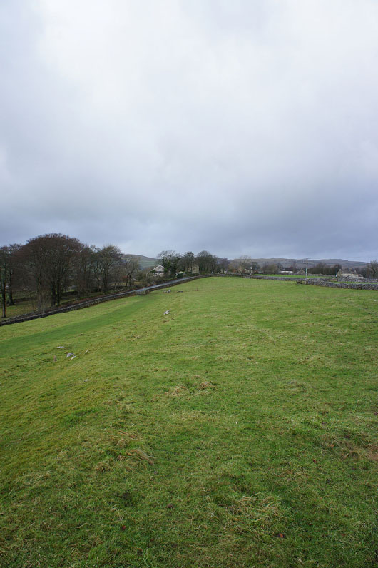
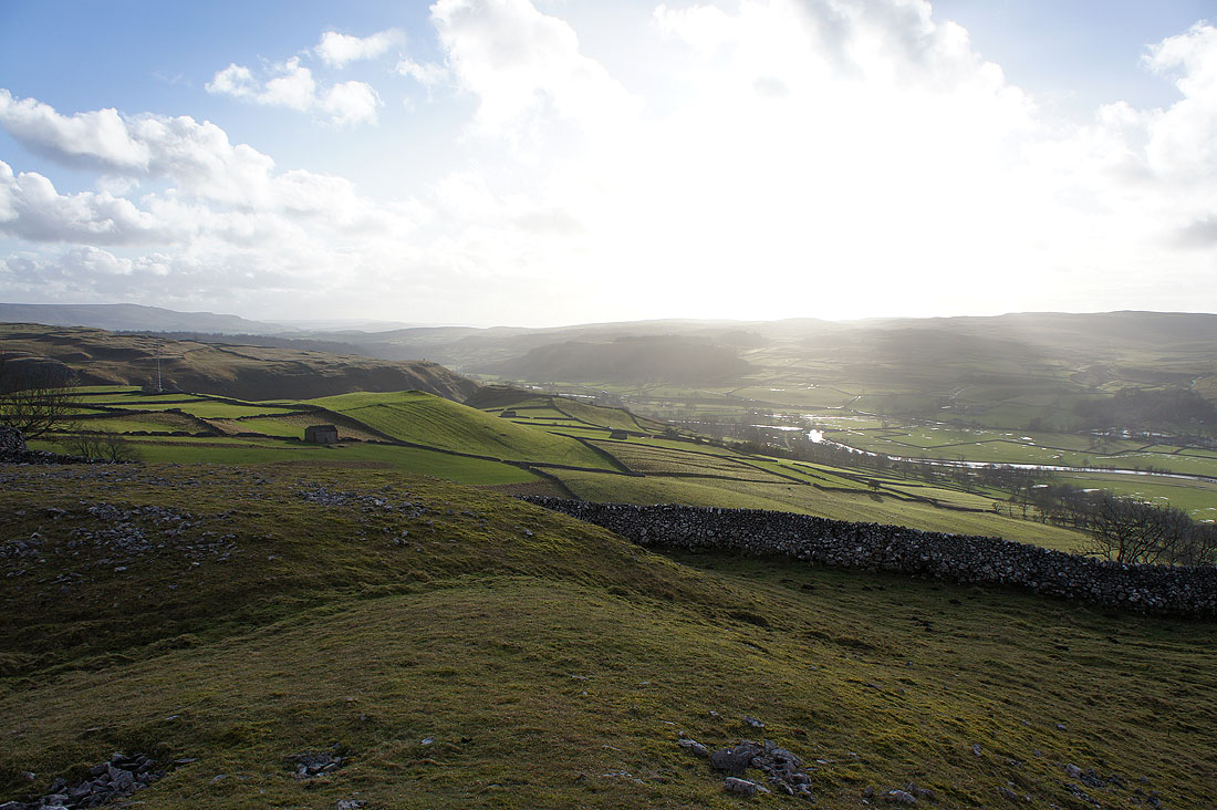
Above the woodland surrounding the caravan site and the view starts to open out as I look back down into Wharfedale
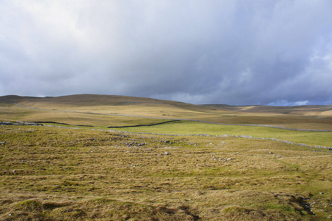
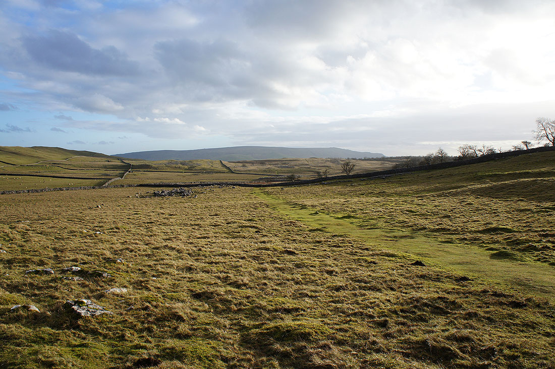
At Height Laithe looking back to Height House. Time to head across Malham Moor to Mastiles Lane.
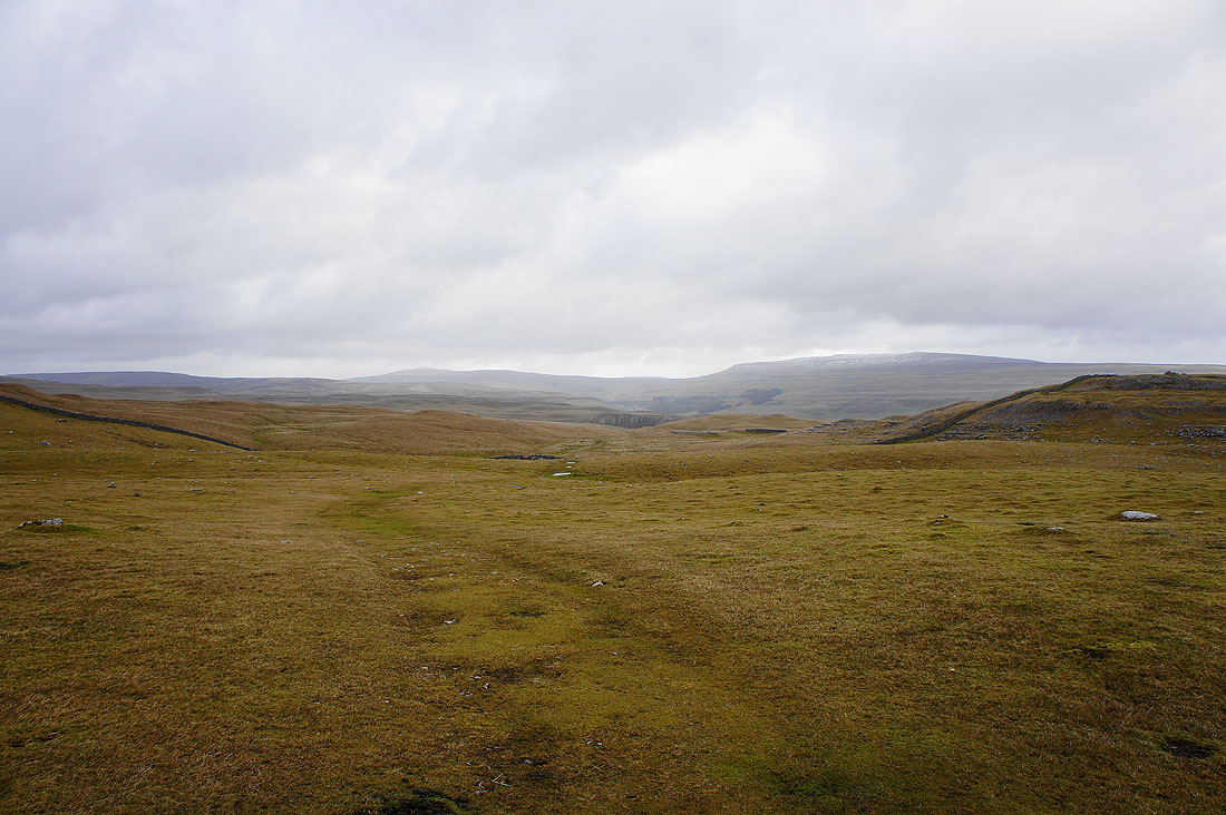
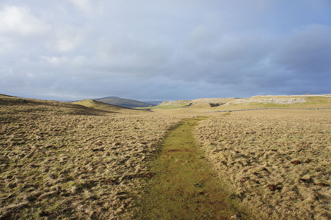
Crossing Malham Moor. I love the wide open spaces up here.
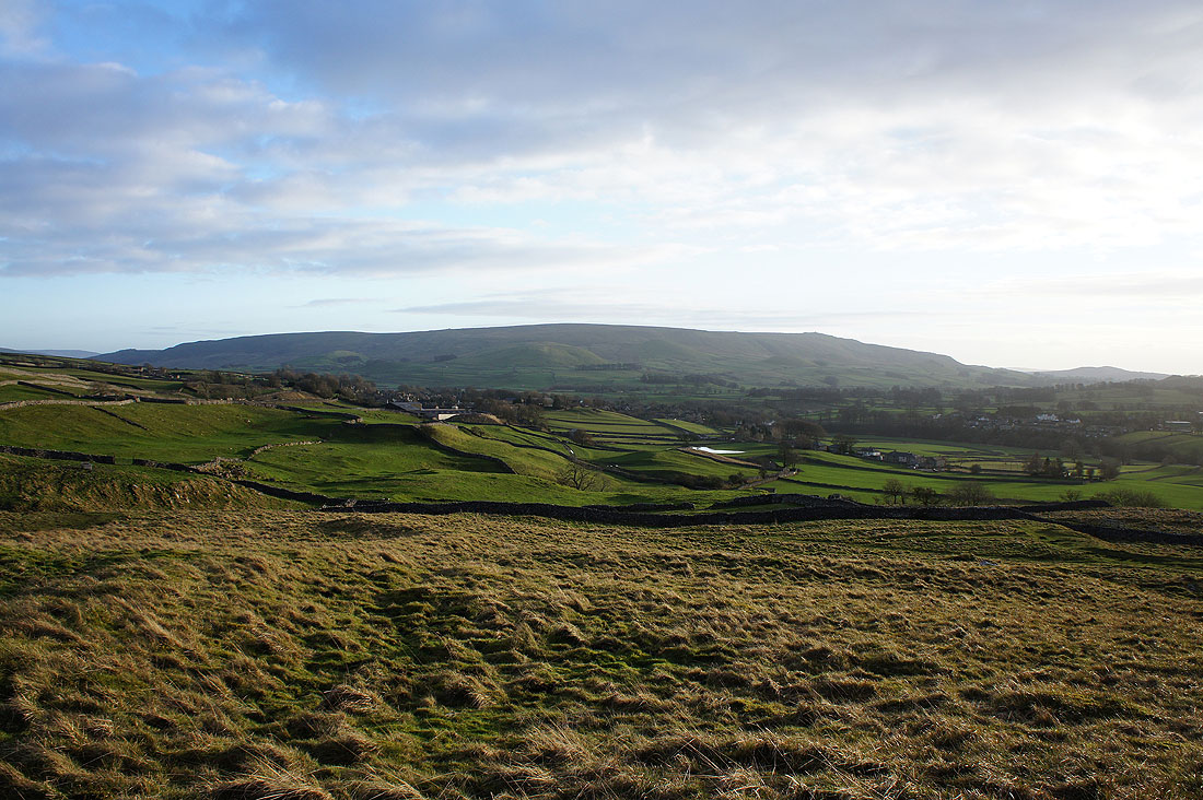
Approaching Mastiles Lane and at last the sun decides to put in an appearance on Kilnsey Moor
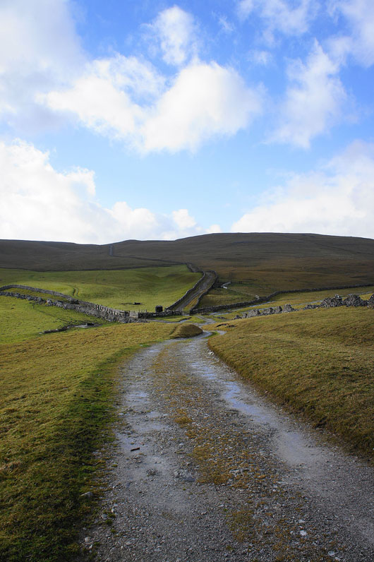
On Mastiles Lane. Here I'm looking west as the track heads uphill to cross the moors to Malham Tarn.
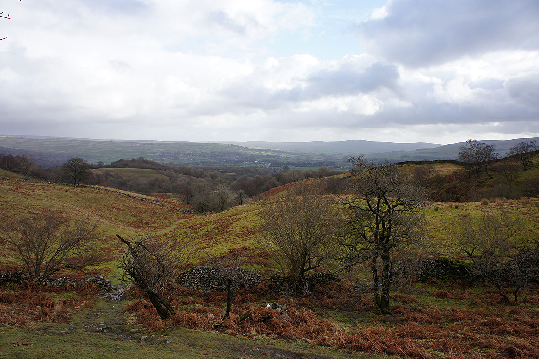
I'm going in the other direction though, down, towards Kilnsey
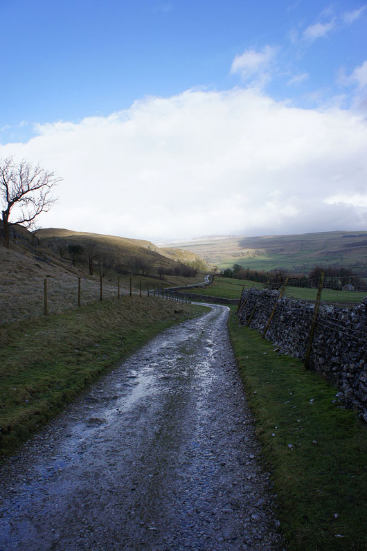
I'm not on Mastiles Lane for long though. I'm going to follow a path down to the road to Conistone. My walk will continue on the hillside on the other side of the valley.
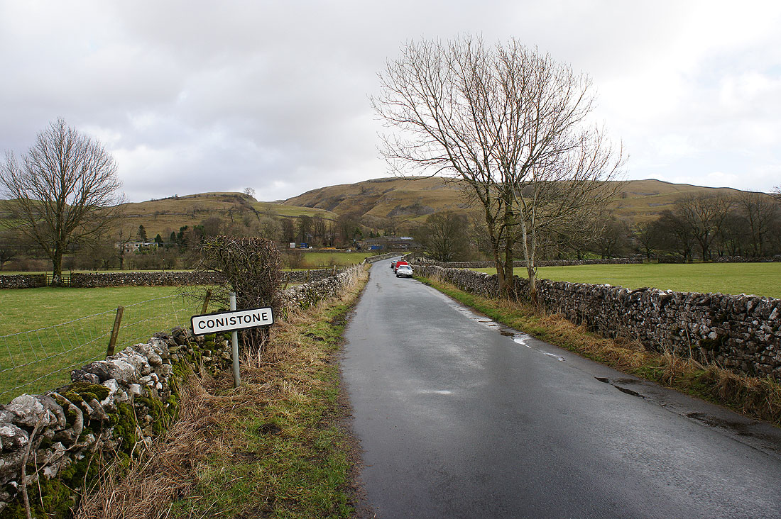
Into the hamlet of Conistone
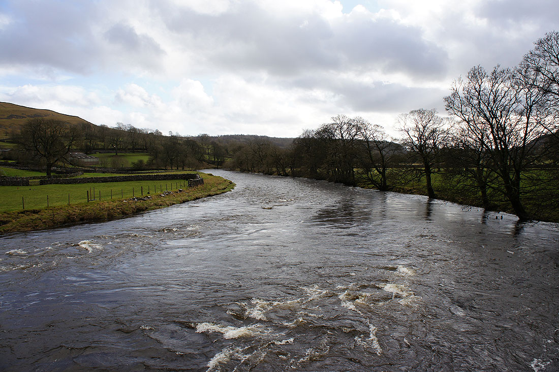
The River Wharfe from Conistone Bridge
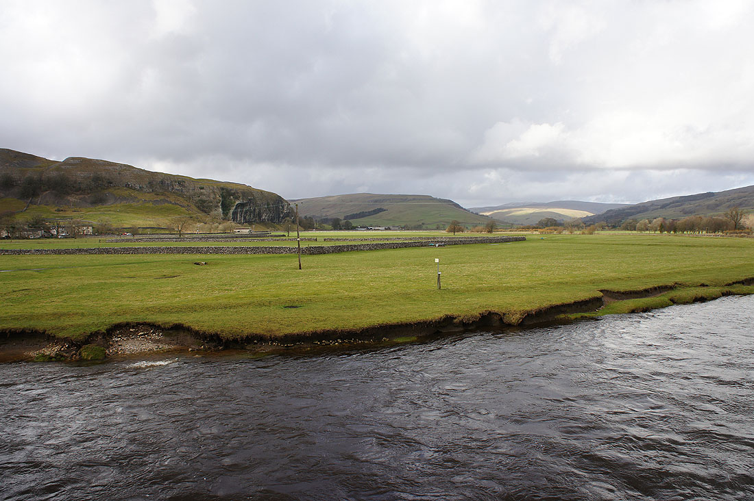
and looking up the valley with Kilnsey Crag on the left
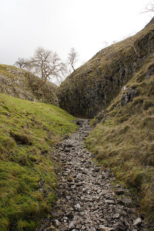
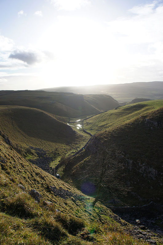
Entering Conistone Dib
Near the top the limestone walls close in again
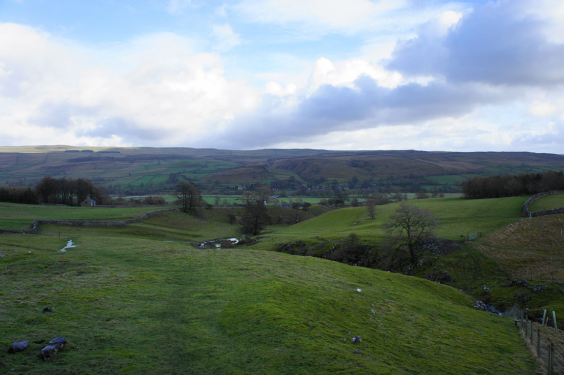
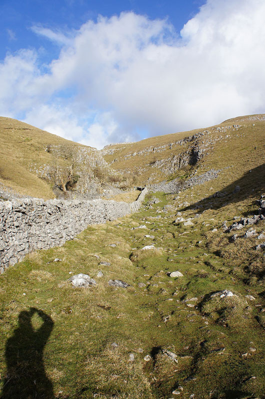
At the top of the Dib I made a short detour north along the Dales Way to visit the limestone outcrop of Conistone Pie. It's worth it for the views up and down the valley. Up dale the valley splits with Wharfedale on the right and Littondale on the left.
Looking down dale
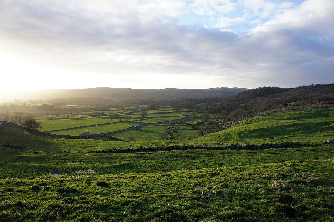
Time to head back to Grassington on the Dales Way. It would seem that I have the best weather of the day for it.
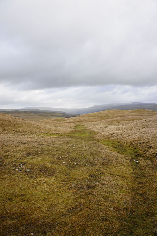
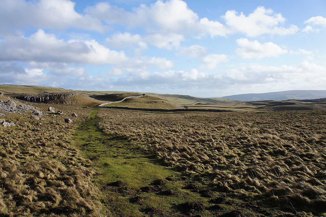
Passing the top of Conistone Dib
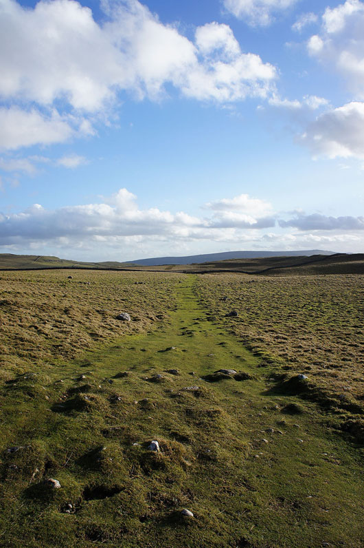
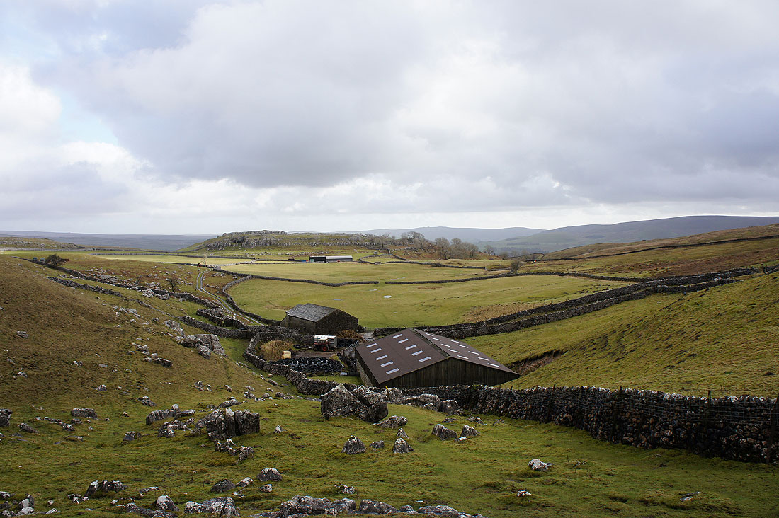
This stretch of the Dales Way is across an elevated limestone plateau and is great to walk across. It's dry underfoot despite all the recent rain.
A last chance to look back at the limestone cliffs above Conistone Dib
Over the rise ahead and I'll be able to see Grassington
Grassington is finally in sight
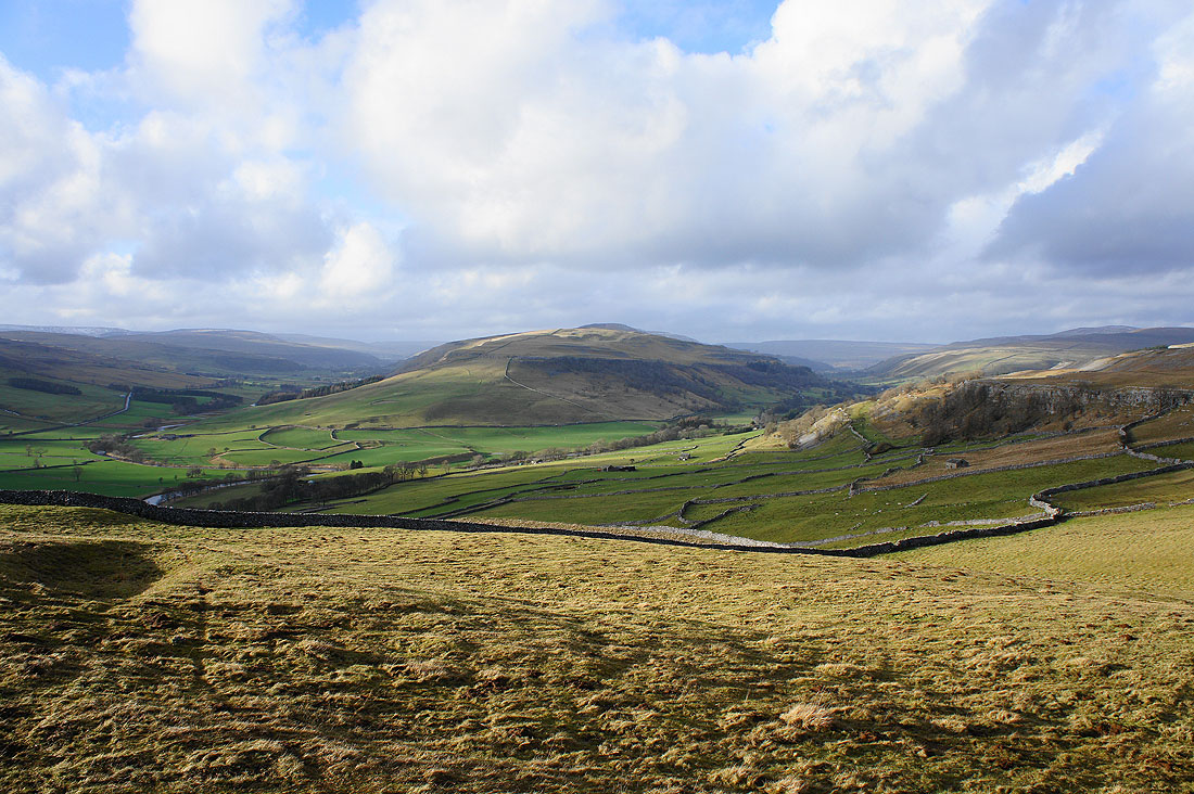
A last chance for a view across the valley. That's Grass Wood and Bastow Wood on the hillside on the right.
Almost back in Grassington
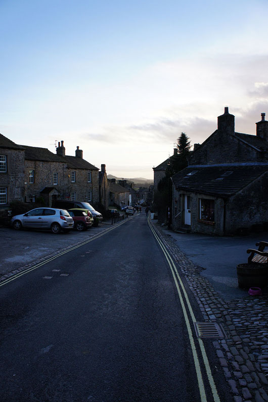
Grassington on a quiet Sunday afternoon