2nd February 2019 - Ingleborough
Walk Details
Distance walked: 10.2 miles
Total ascent: 2820 ft
OS map used: OL2 - Yorkshire Dales, Southern & Western areas
Time taken: 7.5 hrs
Route description: Clapham-Clapdale Farm-Trow Gill-Little Ingleborough-Swine Tail-Simon Fell-Swine Tail-Ingleborough-Little Ingleborough-Trow Gill-Clapdale Farm-Clapham
Proper winter weather during the week had me jealously looking at pictures of snow covered fells and wishing that I was able to be out on them. Would the snow last until the weekend? Fortunately the answer was yes, and with a good forecast for Saturday I decided to climb Ingleborough from Clapham, a route that I've done in the snow several times. Things didn't go perfectly however and I found myself reaching the summit of Ingleborough with it covered in cloud and not a view to be had. My original plan had been to return to Clapham via the path across Simon Fell Breast after visiting the summit of Simon Fell but as I was leaving Ingleborough the cloud was starting to clear. The weather continued to improve on my way to Simon Fell so I changed my plans and decided to return to Ingleborough and make my way back to Clapham the same way I came up. I enjoyed fantastic views from Ingleborough the second time round. It was a glorious winter's day with plenty of sunshine (most of the time) but with a strong and bitterly cold wind high up.
I left Clapham by taking the track to Clapdale Farm signposted for Ingleborough. When I reached the farm I went through the farmyard and then down a path to the track that leaves the Ingleborough Hall estate bound for Ingleborough Cave. Past the cave I continued on the path up Trow Gill, then once out of Trow Gill I crossed the moorland to climb Ingleborough via Little Ingleborough. After taking a break for lunch in the shelter on Ingleborough I made my way to the northeastern corner of the summit and descended the path on Swine Tail. Once down I left the main path down to Humphrey Bottom for following footprints in the snow to the summit of Simon Fell. Once I'd decided to return to Ingleborough from Simon Fell my route down was the same as that up.
Route map
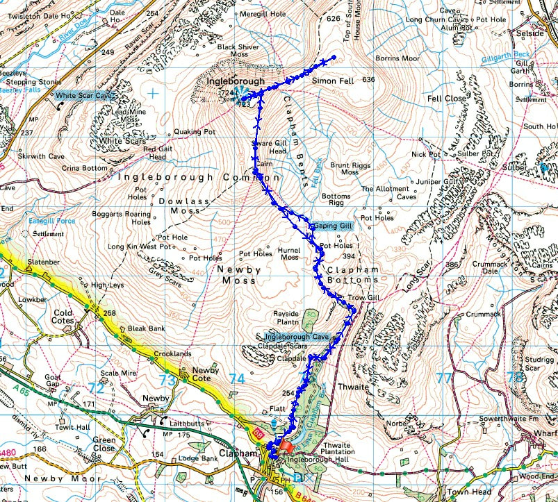
© Crown copyright. All rights reserved. License number PU 100034184.
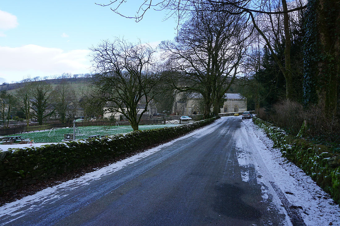
It's a cold and frosty start as I set off from Clapham
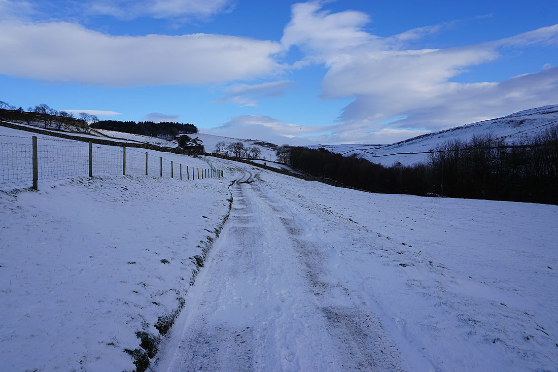
On the track to Clapdale Farm
and taking a look back
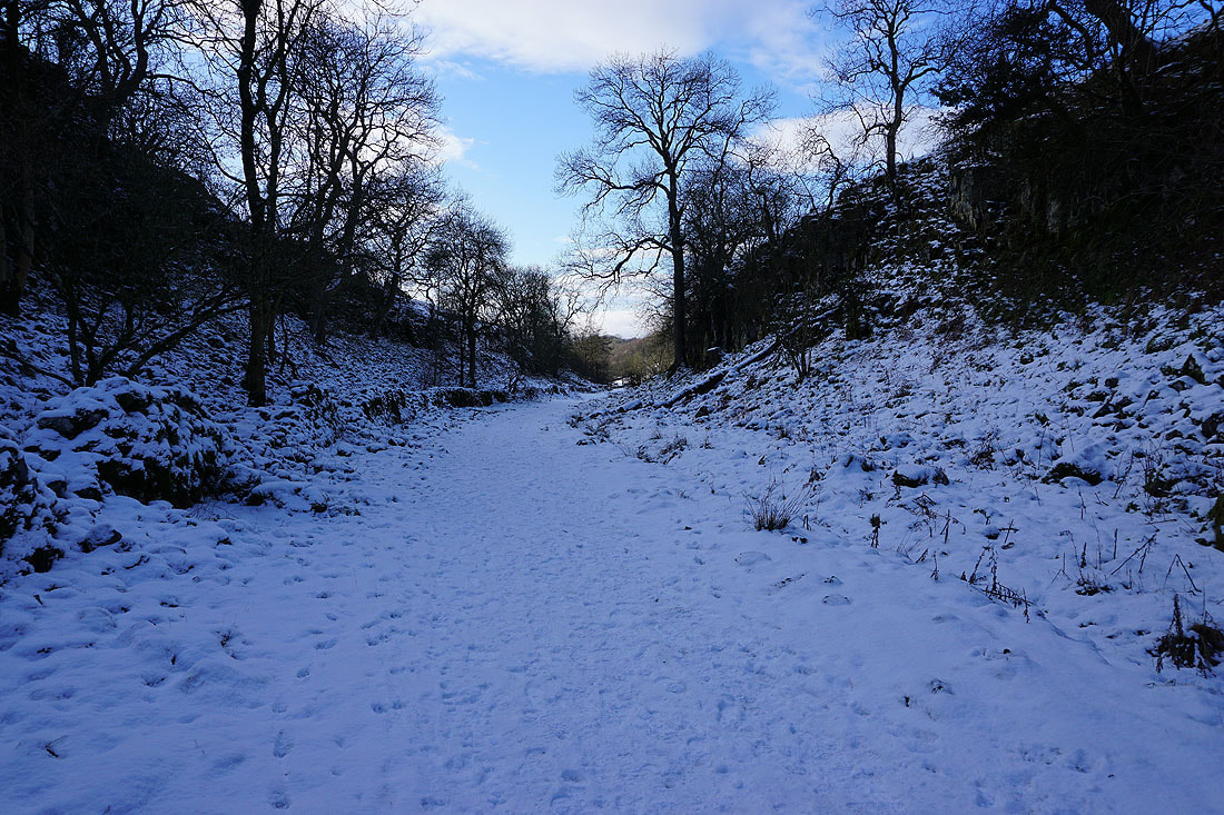
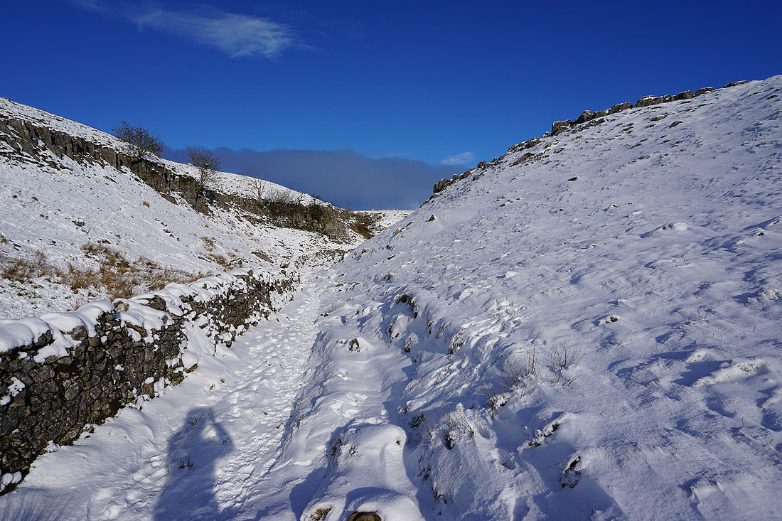
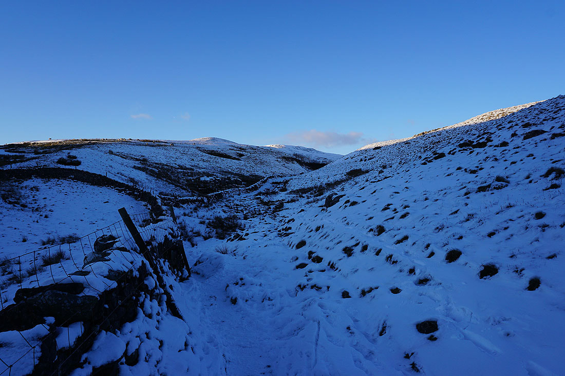
On my way up Trow Gill and into the sunshine..
It won't be long until I see Ingleborough for the first time today and I have the feeling that there's going to be cloud on its top
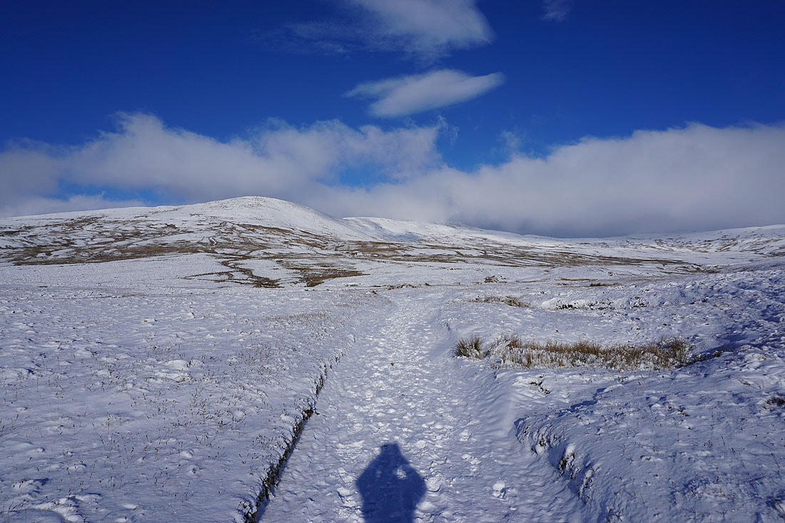
and there is, but only just. Hopefully it will lift on my way up.
Simon Fell ahead of me
A look back on the way up with the hills around Ribblesdale and those above Settle in the distance
A cloud topped Penyghent isn't that easy to make out
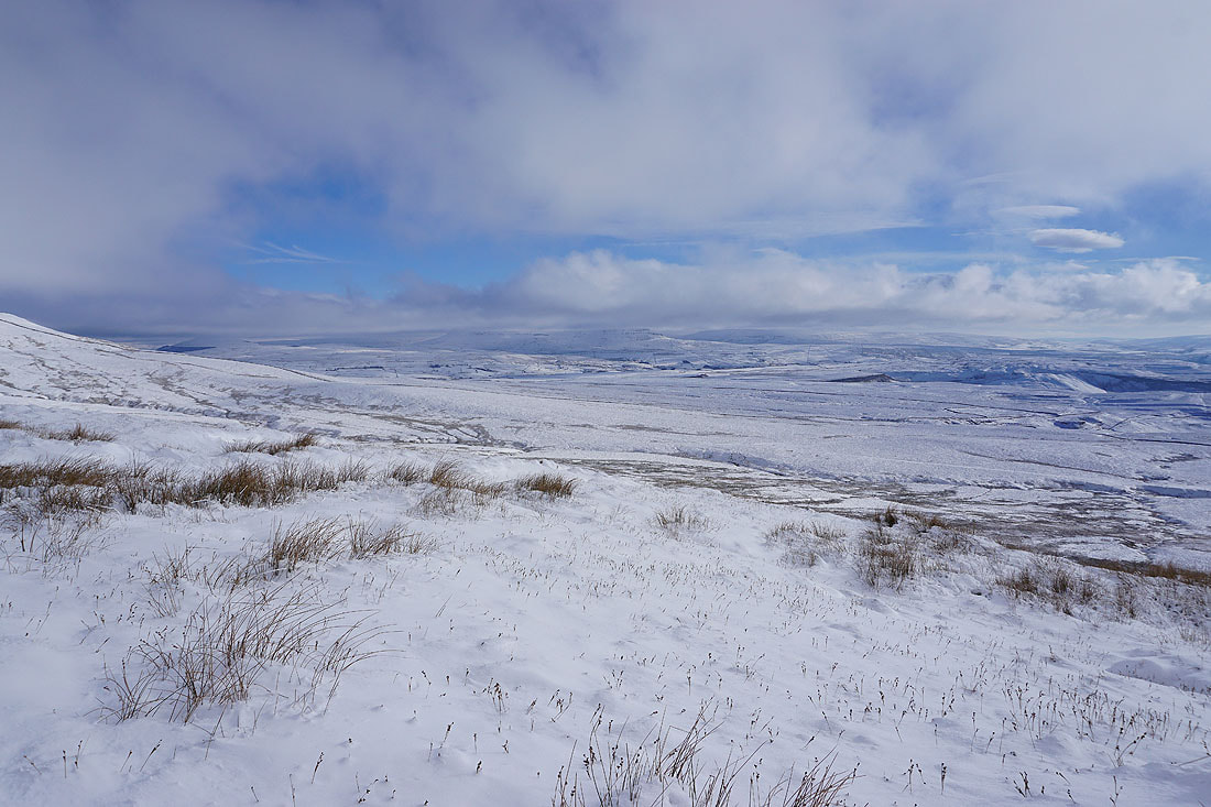
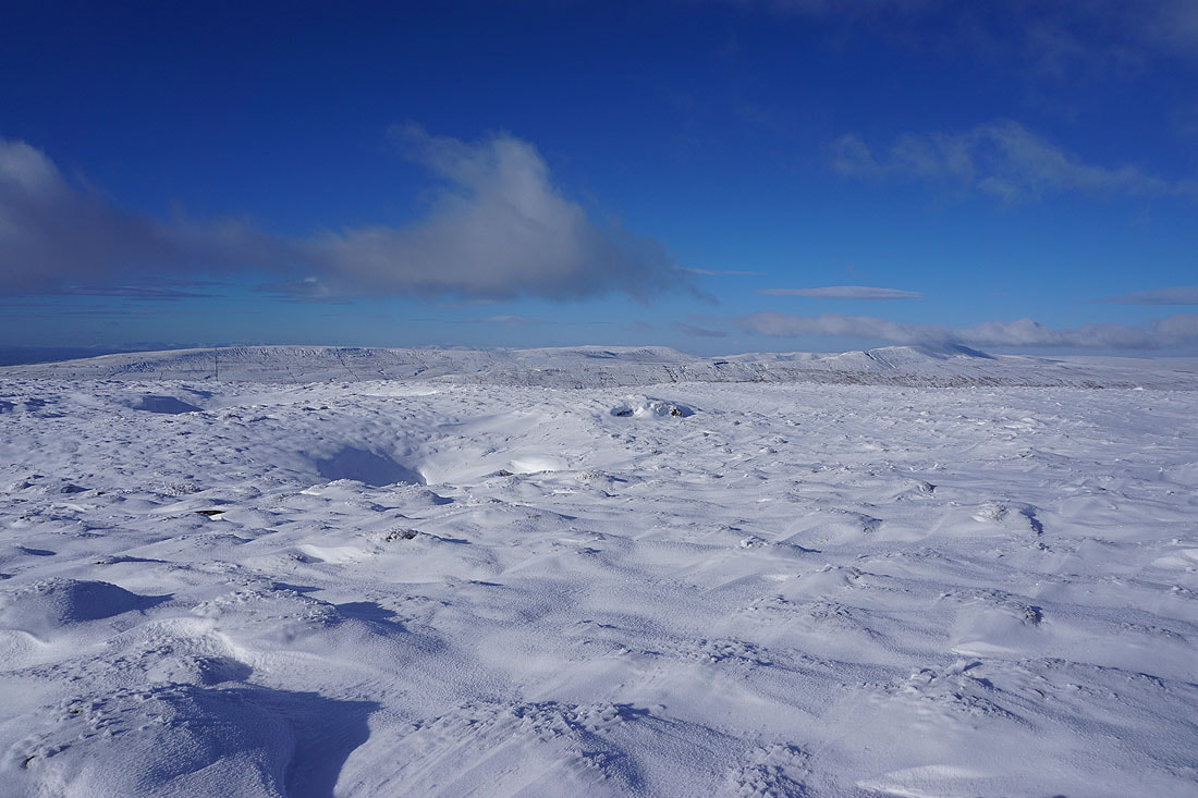
On the summit of Little Ingleborough. The line of snow in the far distance is on the Lake District fells.
Looking across Ribblesdale to Penyghent
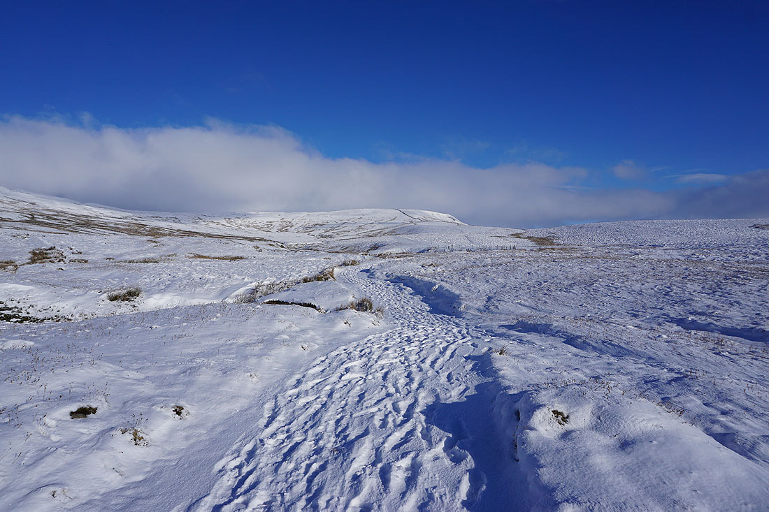
Ingleborough still has its head in the clouds. In fact the cloud is more extensive and a bit lower than when I started the ascent.
Looking in the other direction towards the distinctive profile of Pendle Hill
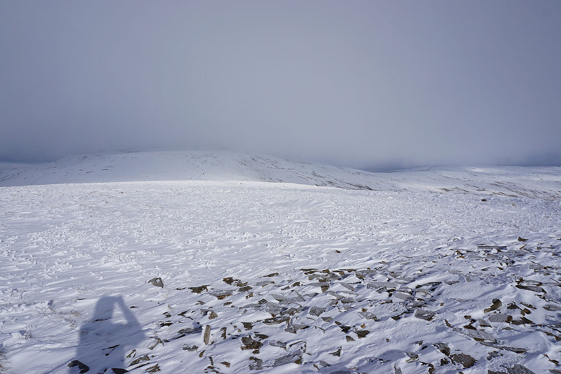
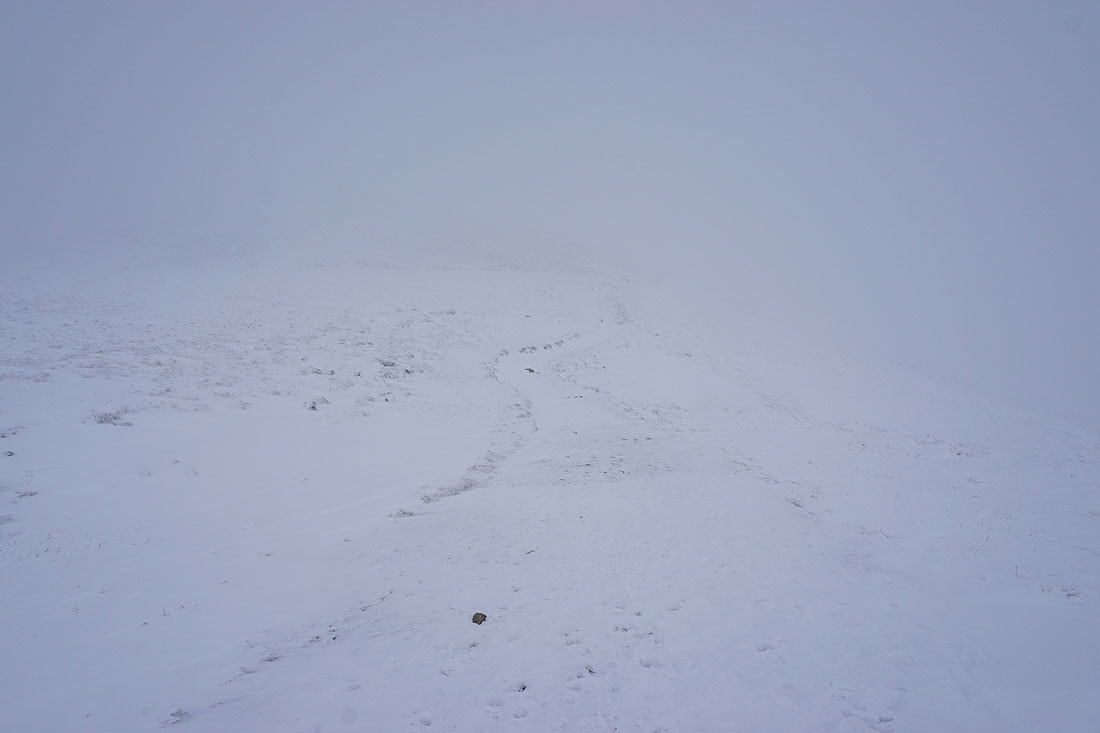
As I leave Little Ingleborough behind the cloud drops and I become enveloped in hill fog..
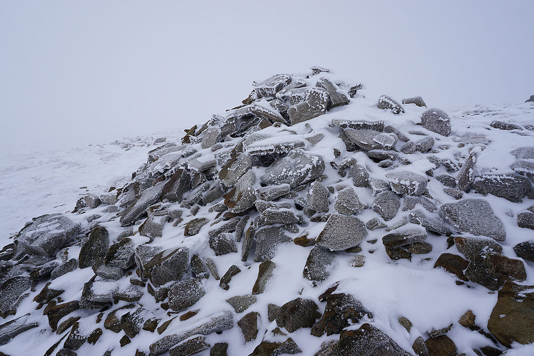
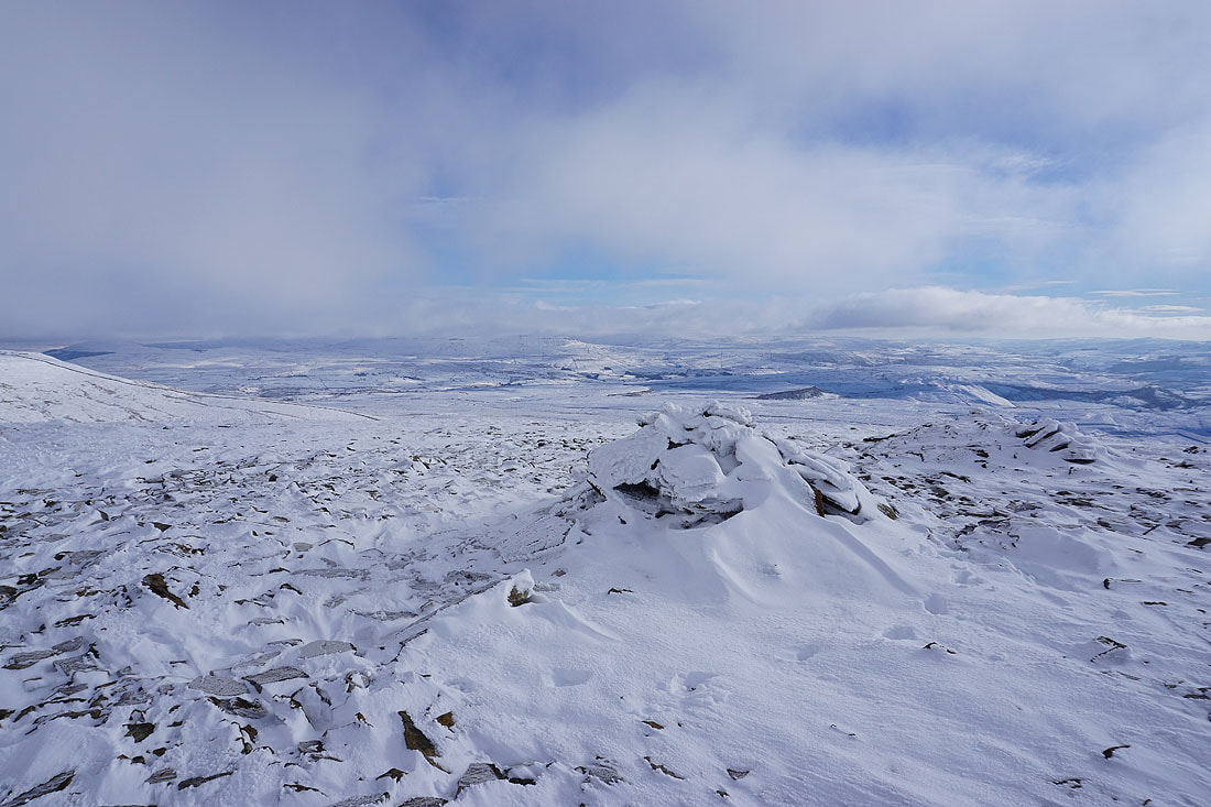
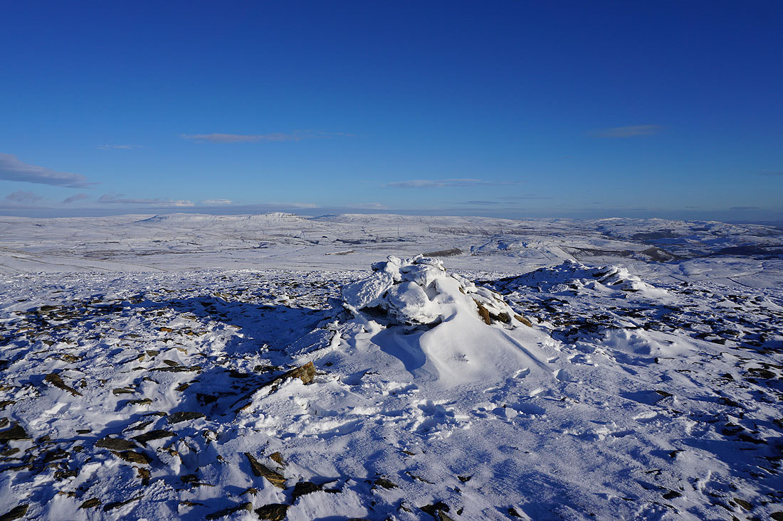
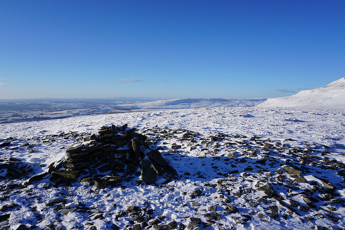
Snow and frost covered cairn
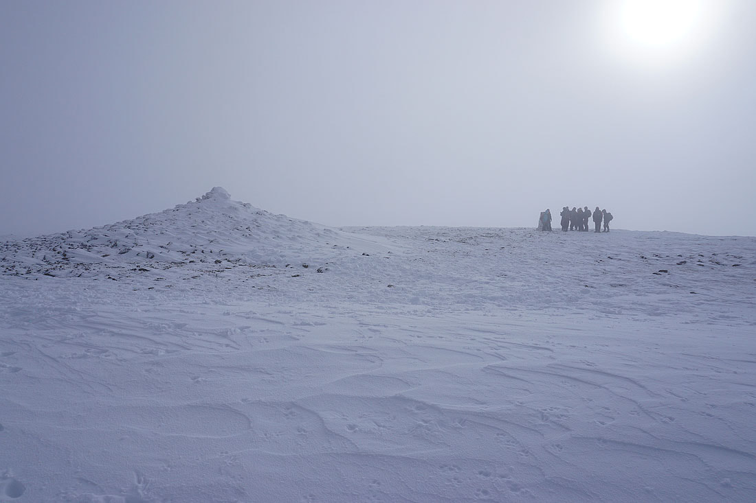
Some time later while I'm sat having my lunch in the summit shelter on Ingleborough I notice a brightening in the sky as the sun tries to break through. This looks promising.
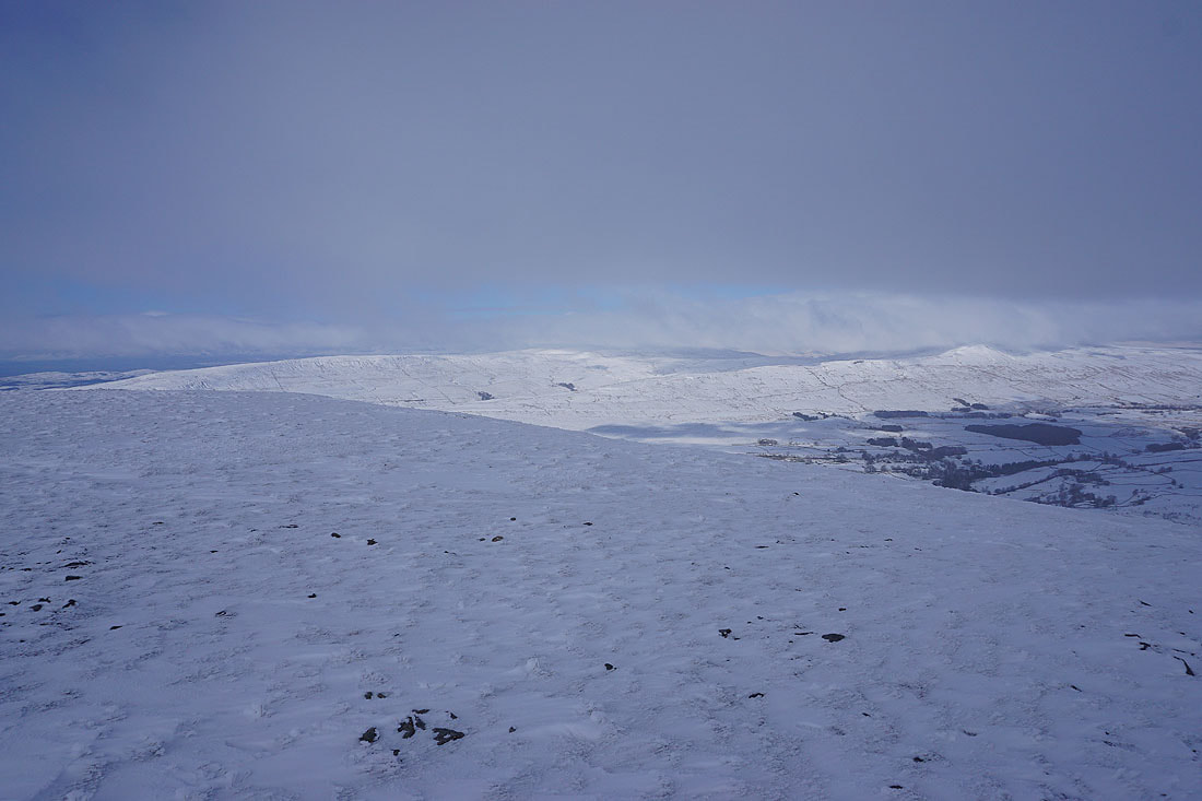
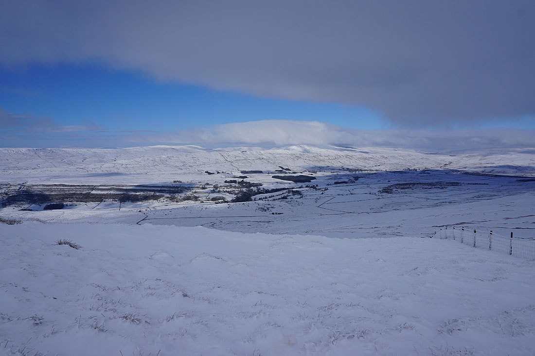
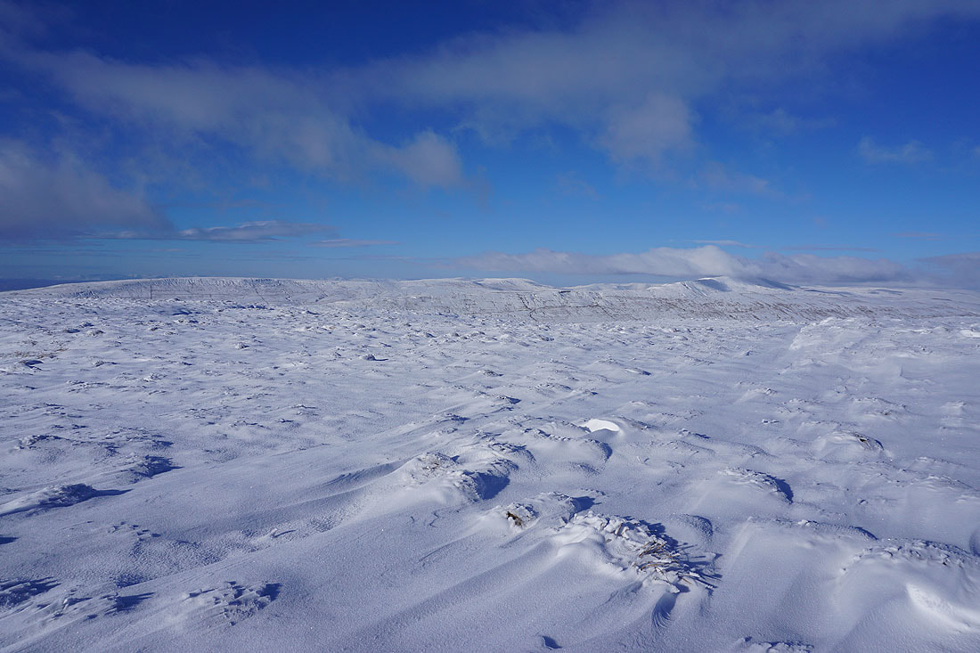
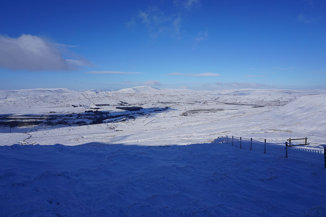
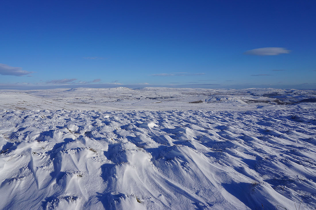
It's about time that I made a move. Before I leave the summit I'll take in the view from the northern edge of the plateau, which isn't that easy when facing into the strong and bitterly cold wind that's blowing. Great Coum and Whernside with their summits in cloud to the northwest.
Looking across the limestone pavement of White Scars below and out to Morecambe Bay
Whernside, Chapel-le-Dale and Ribblehead
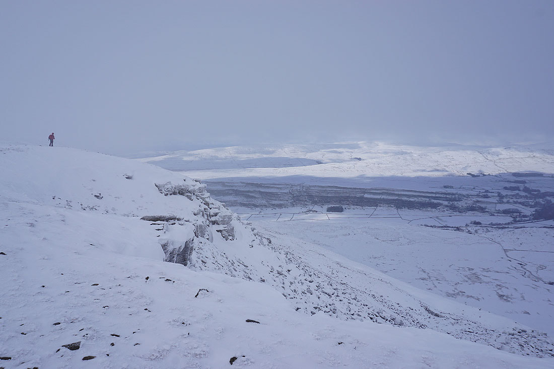
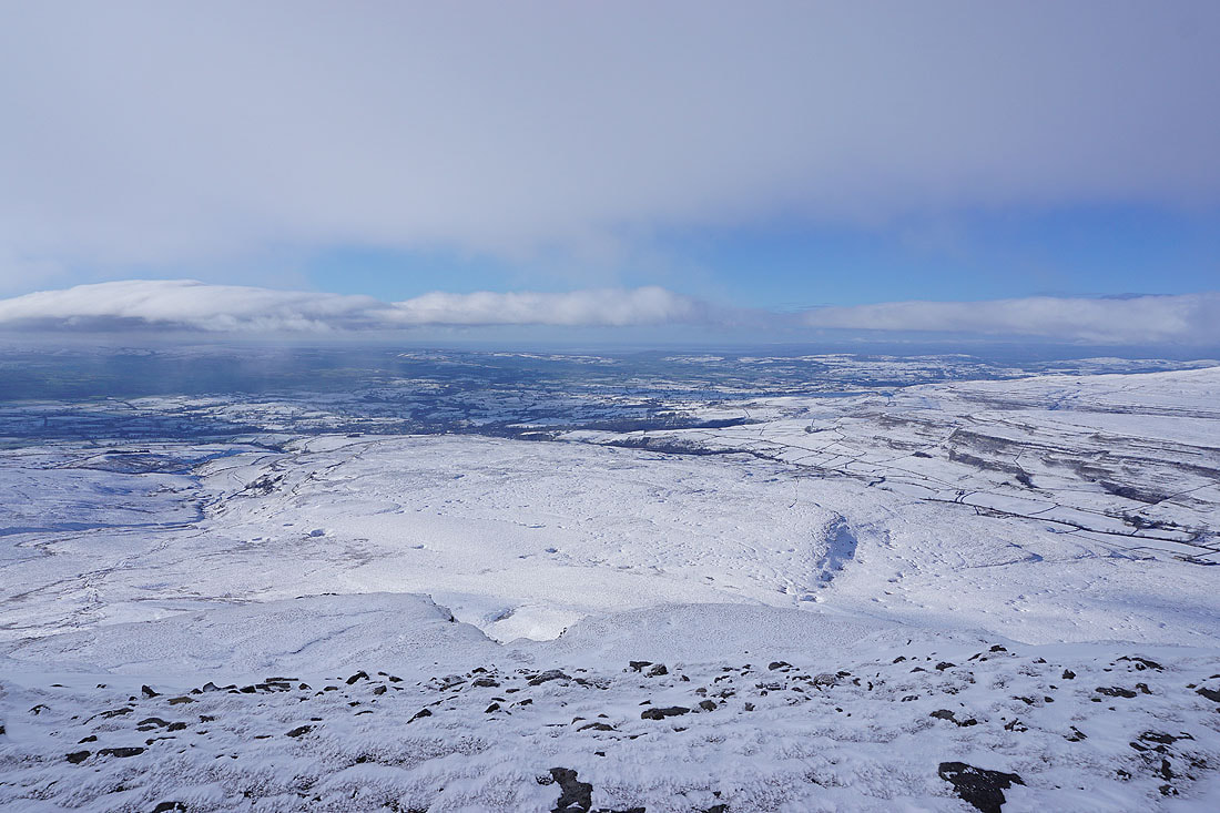
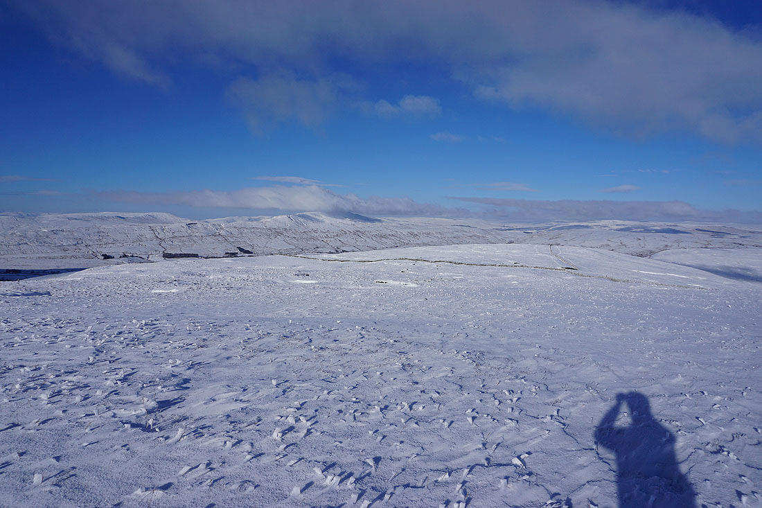
A dramatic spot to stop and take in the view
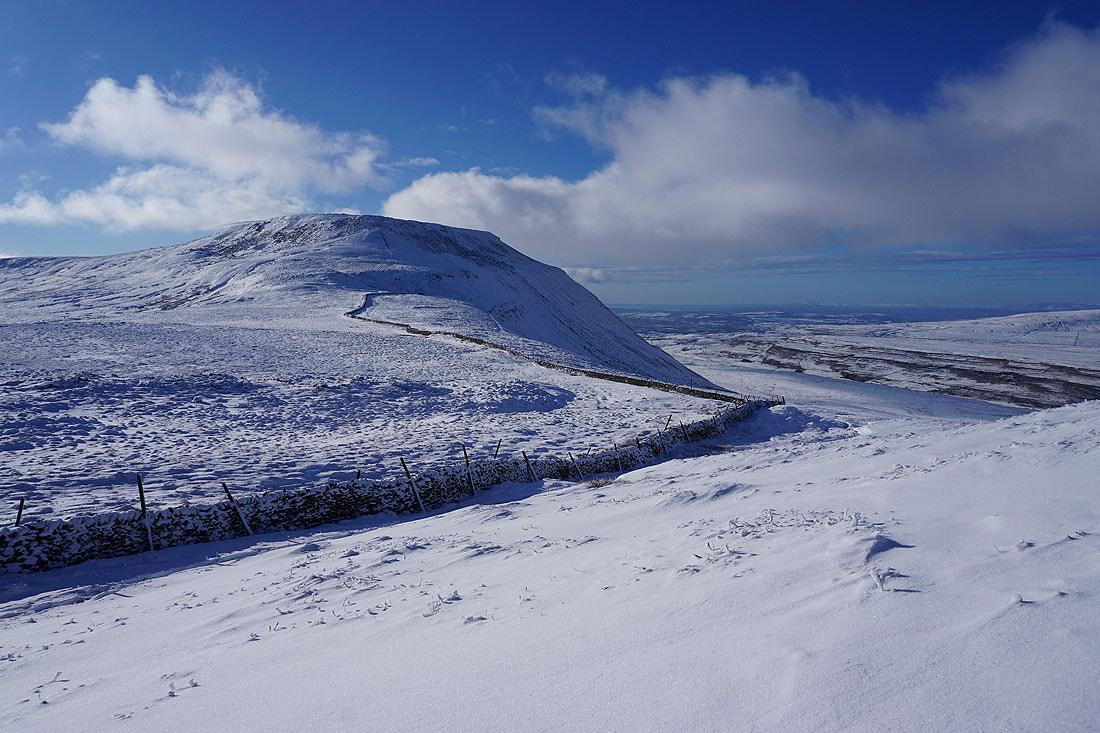
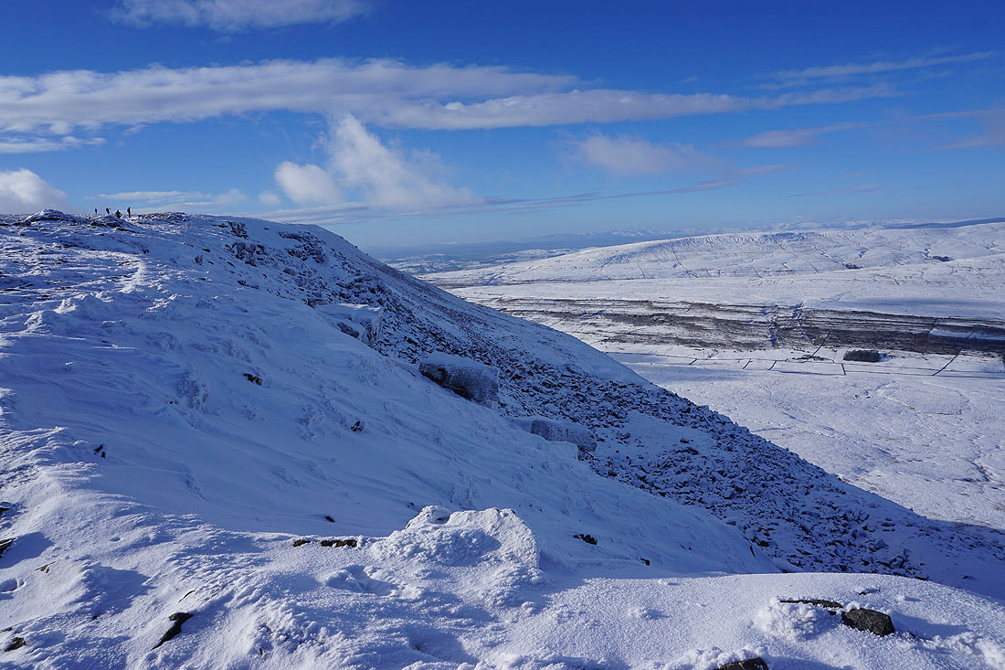
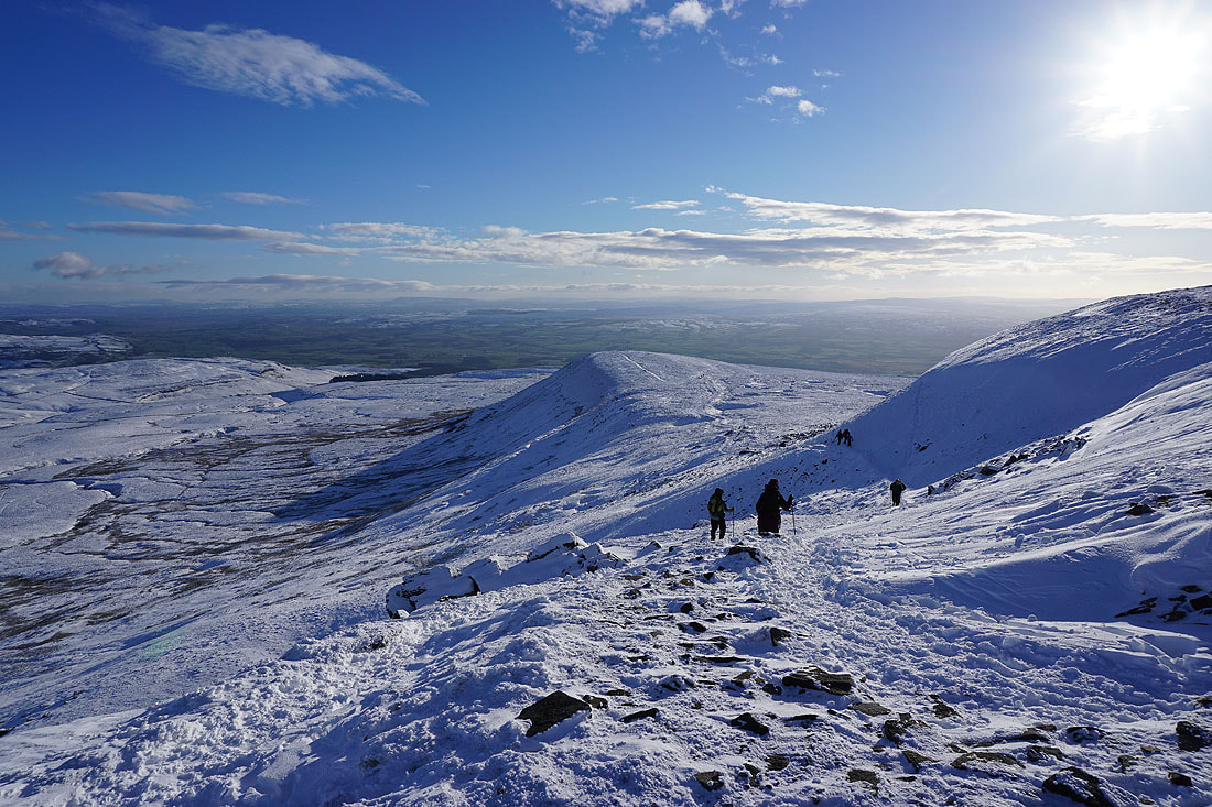
Heading for Simon Fell as I leave Ingleborough via Swine Tail..
Conditions are continuing to improve with more in the way of blue skies and the cloud starting to clear from the tops
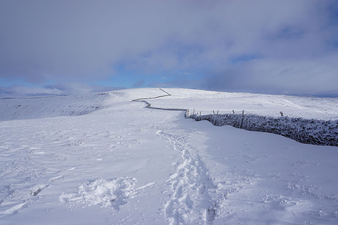
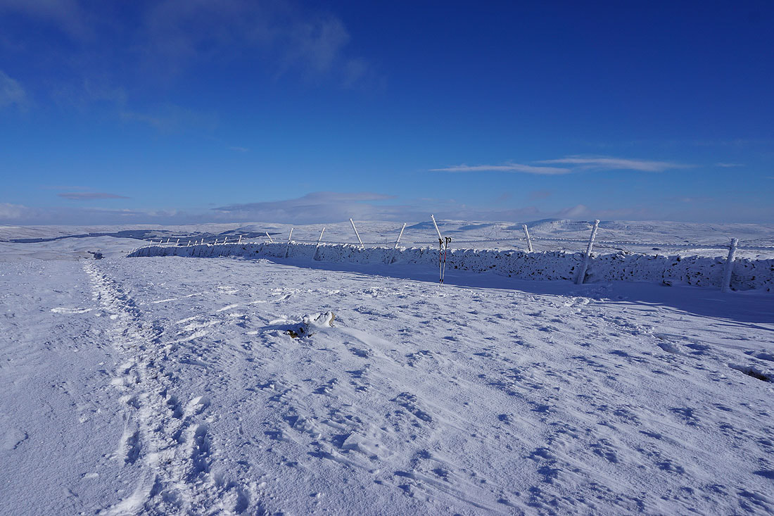
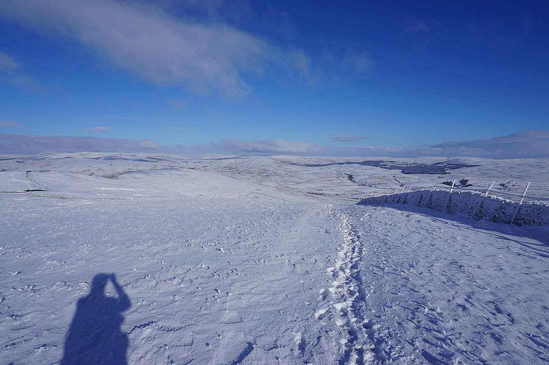
A wall along with footprints in the snow to follow up Simon Fell
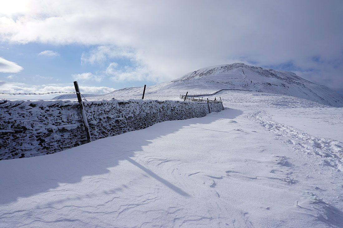
Looking back to Ingleborough
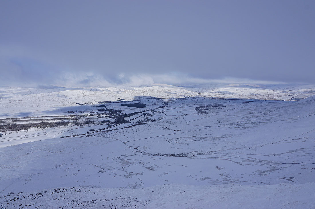
Gragareth and Great Coum, with the top of Whernside still in cloud
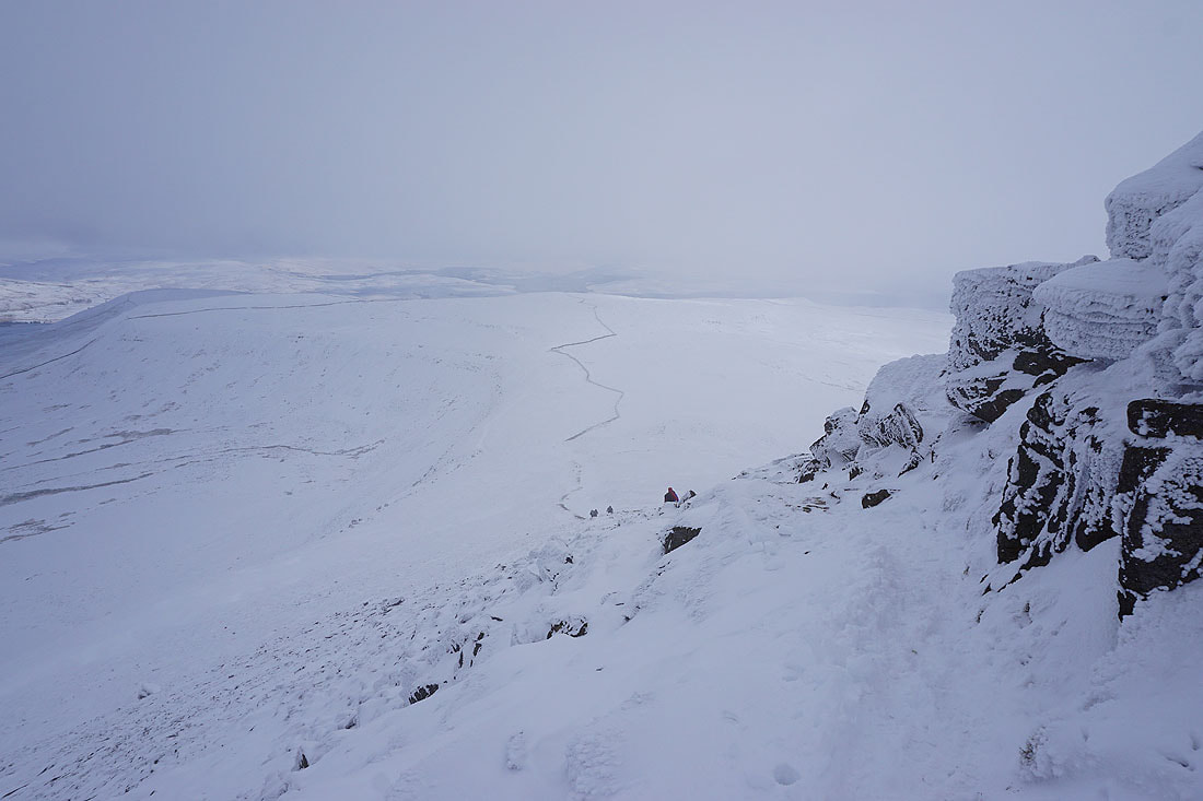
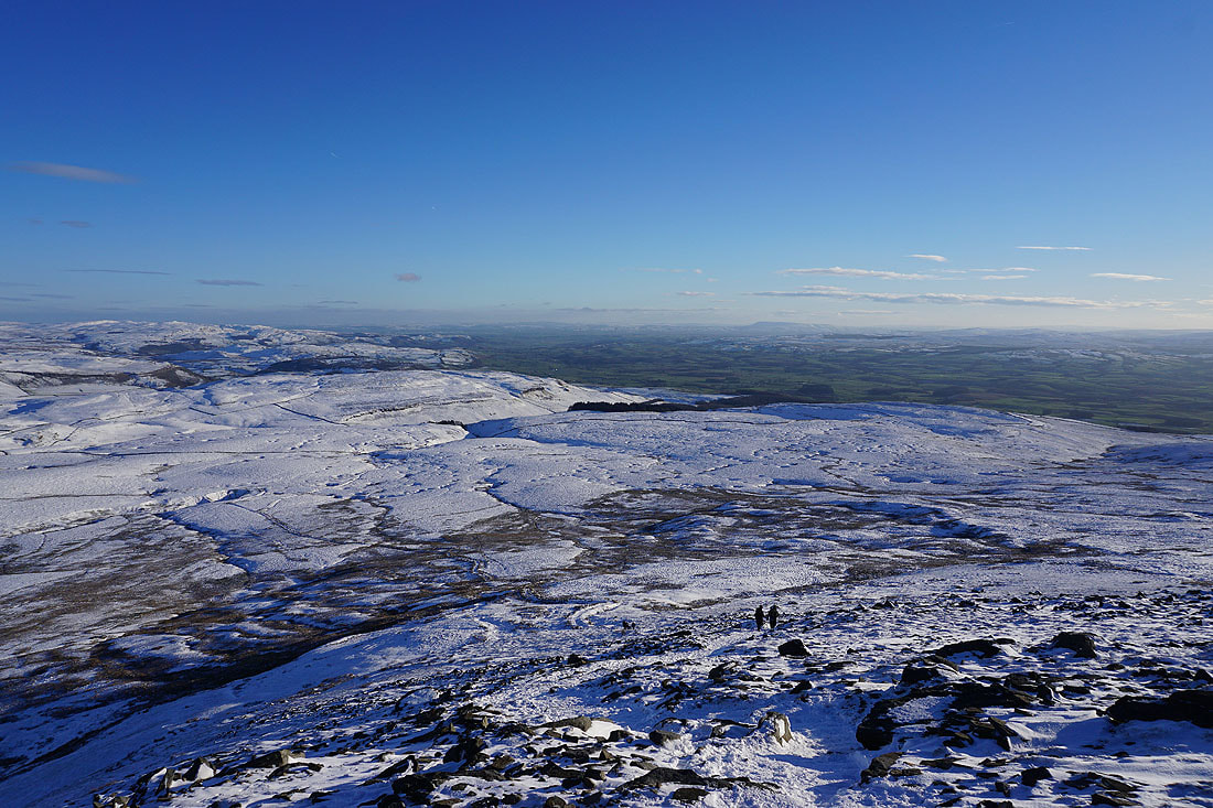
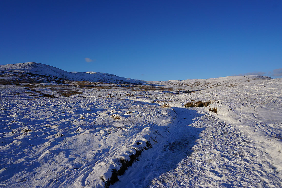
From here I can make out people using the path to and from Souther Scales. In these conditions I can't imagine it being the easiest of routes up or down.
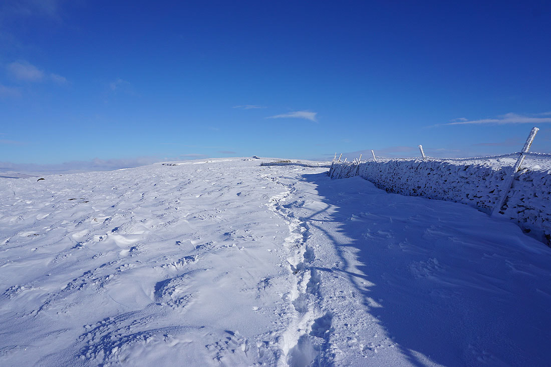
The snow is pretty deep in places. I'm glad I'm not the first one through it.
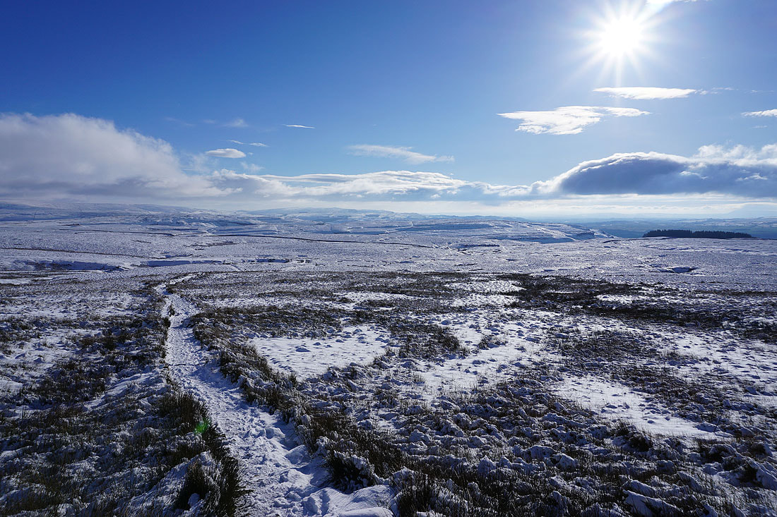
It's turning into a glorious afternoon to be on the fells
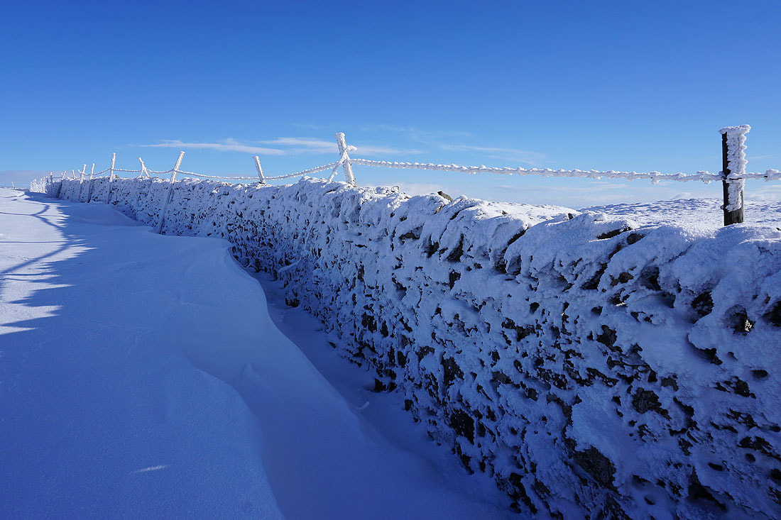
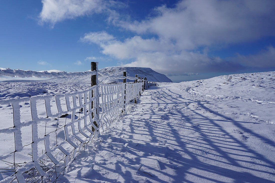
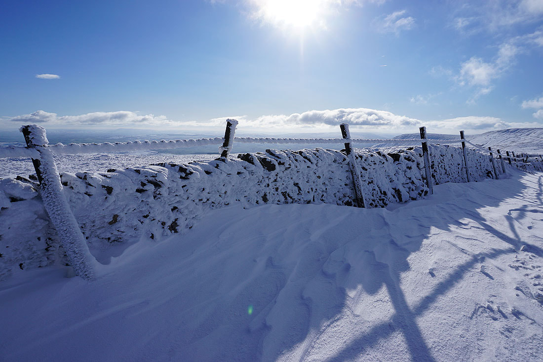
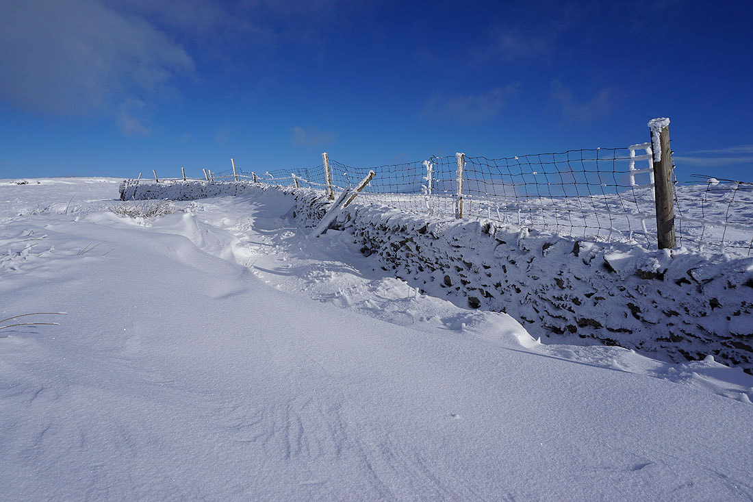
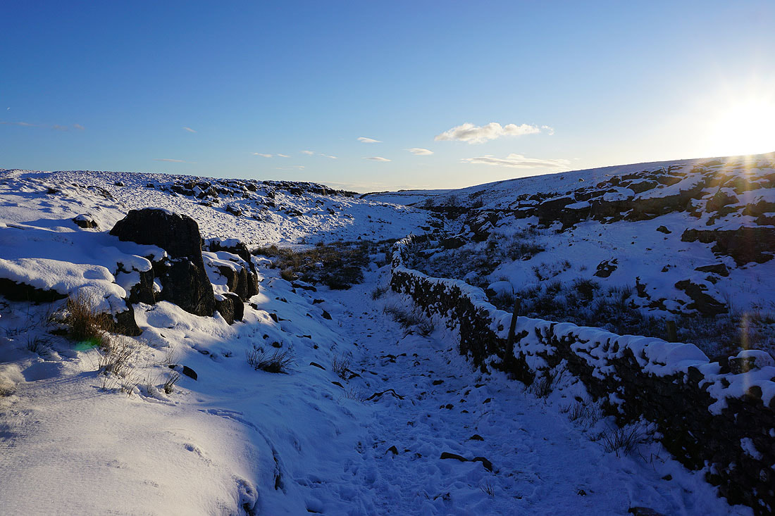
Snow covered walls and fences give me more subject matter for photos...
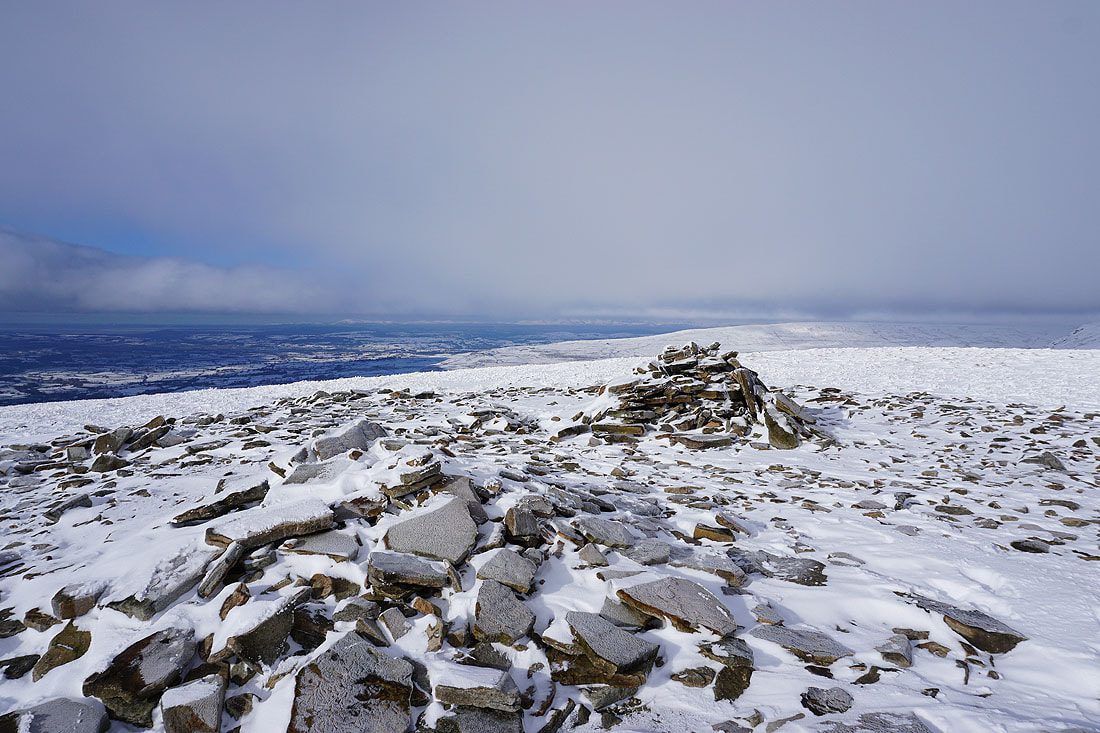
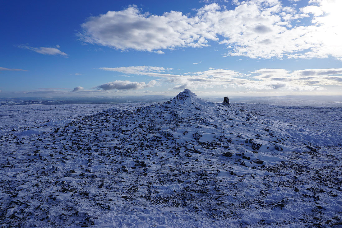
A little cairn marks the top of Simon Fell. They're my trekking poles if you were wondering.
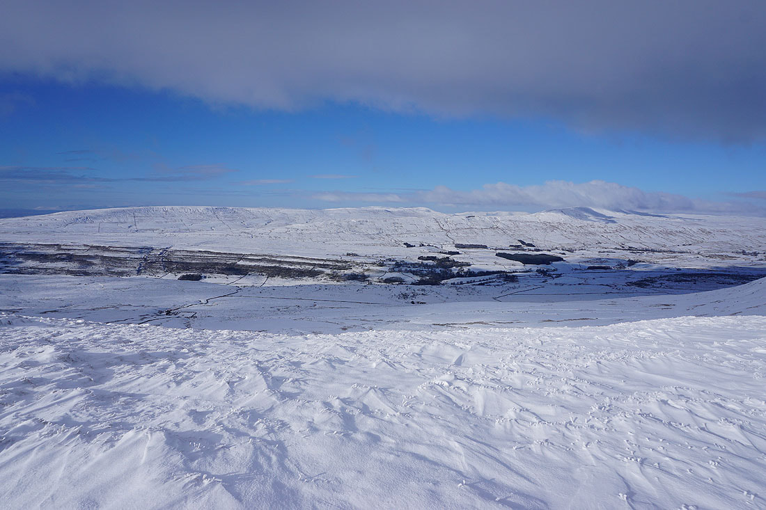
Great Coum, Whernside and Great Knoutberry Hill
Great Knoutberry Hill, Dodd Fell Hill and Yockenthwaite Moor
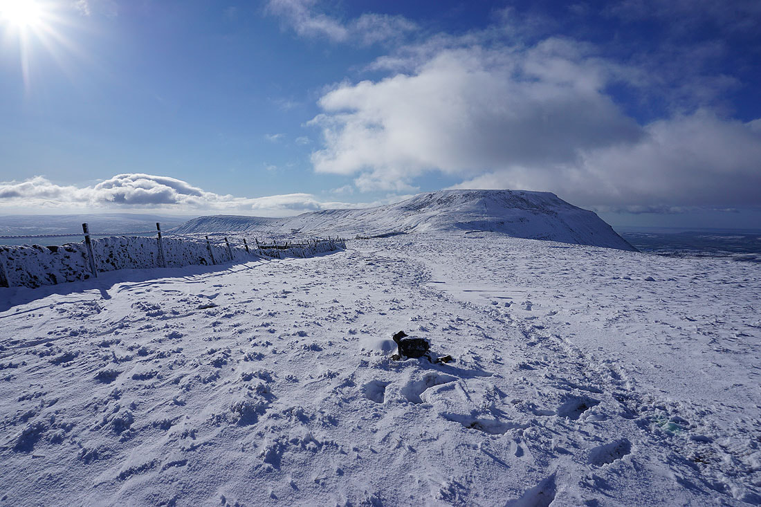
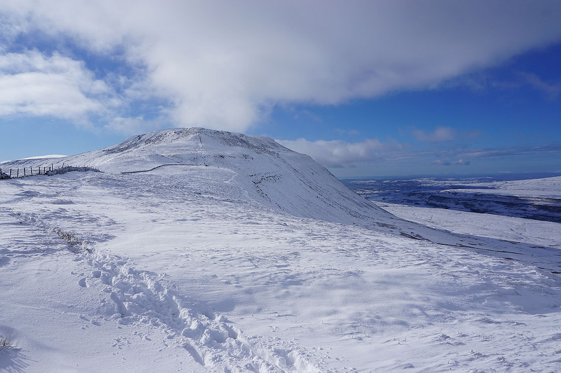
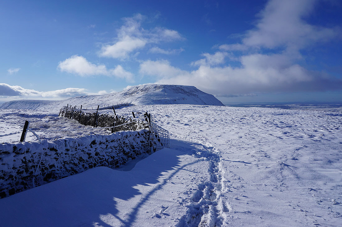
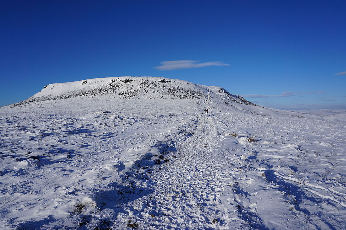
Ingleborough from Simon Fell
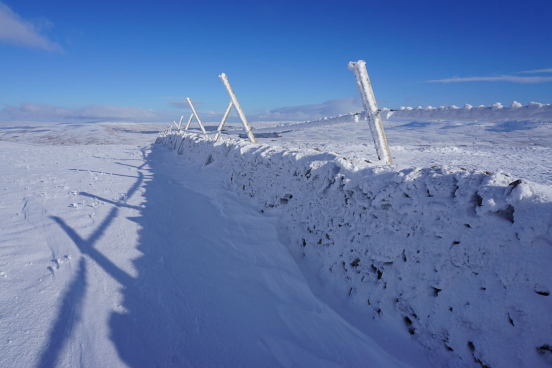
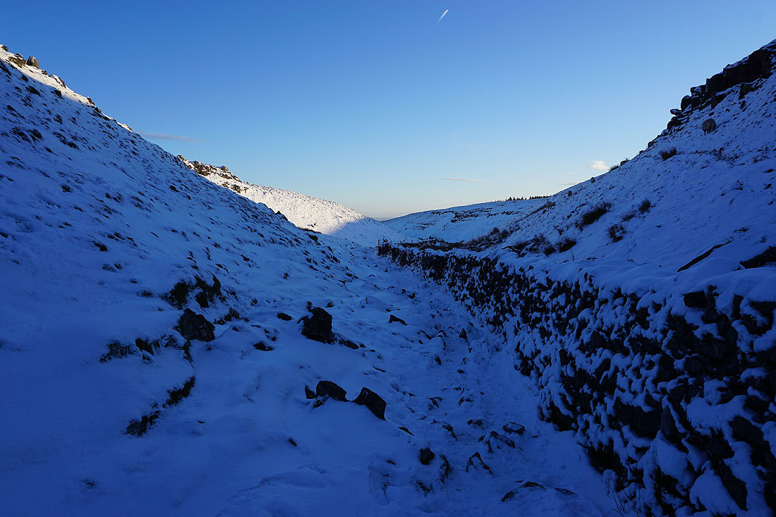
Snow drifts and walls...
Gragareth, Great Coum, a bit of the Howgills and Whernside
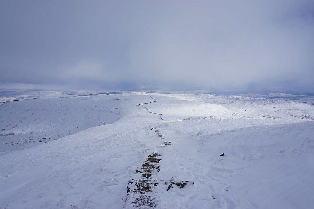
Heading back to Ingleborough
Into Ingleborough's shadow as I look towards Whernside and Ribblehead
Fantastic scenery as I head back up along the northern edge of the plateau
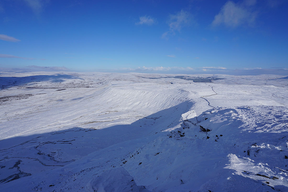
Great Knoutberry Hill, Great Shunner Fell, Dodd Fell Hill and Yockenthwaite Moor in the distance behind Simon Fell
If I turn a bit to the right there's Penyghent and Fountains Fell behind Simon Fell
The eastern half of the Lake District way in the distance on the left, Great Coum, the Howgills and Whernside
A bit to the left and the rest of the Lake District can be made out
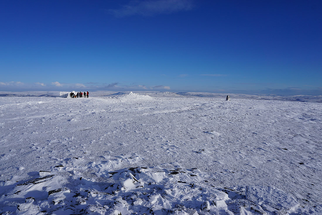
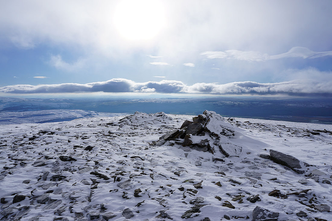
Ingleborough summit...
Time to head down, unfortunately. When it's like this I wish I could spend more time up here.
Looking back to the summit
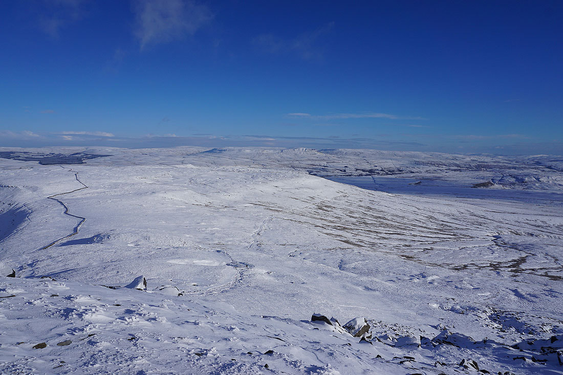
Penyghent and Fountains Fell across wind sculpted snow
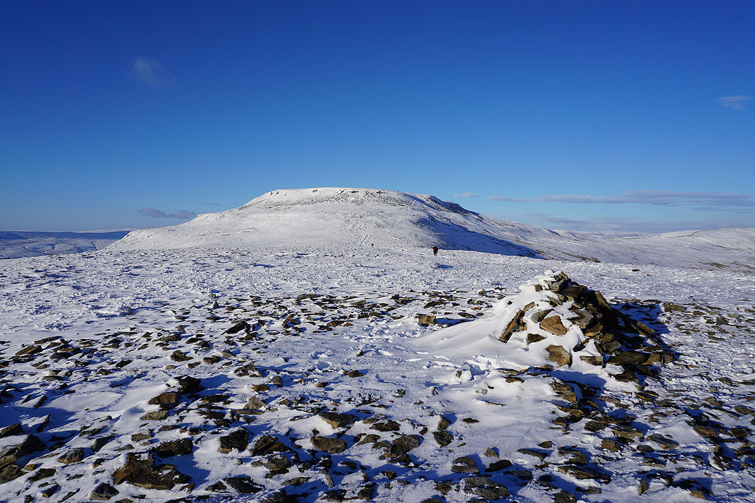
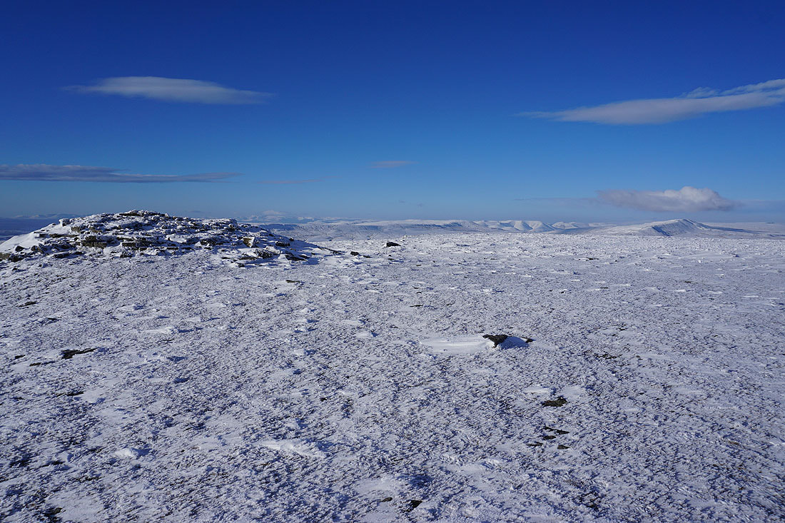
Ingleborough from Little Ingleborough
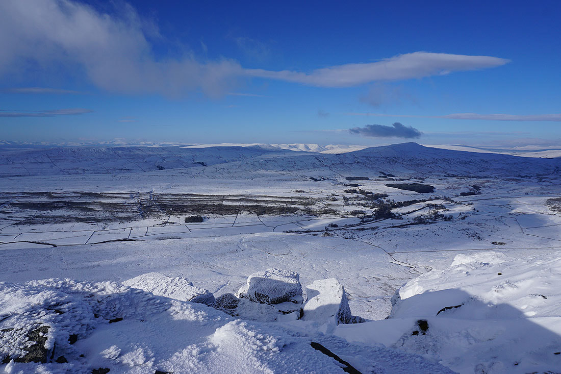
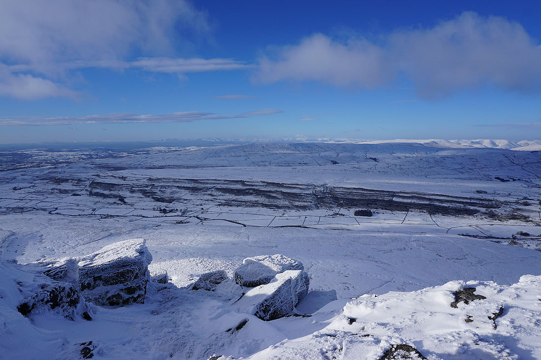
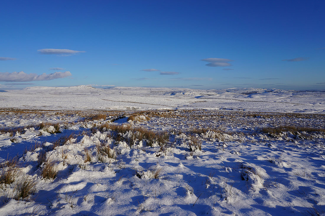
Penyghent and Fountains Fell
Part of the Lake District in the distance behind Gragareth
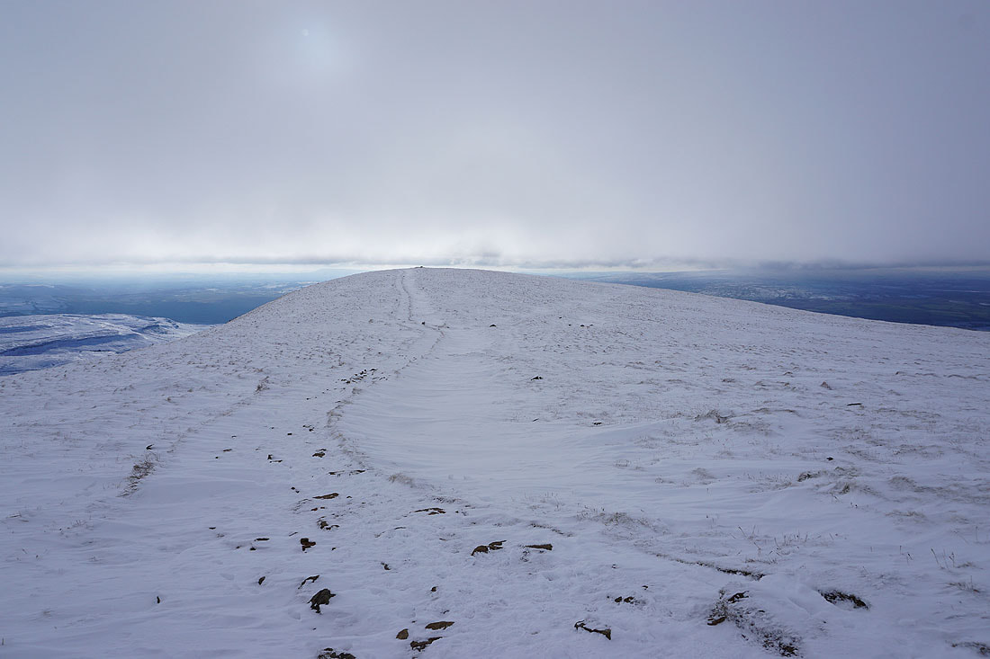
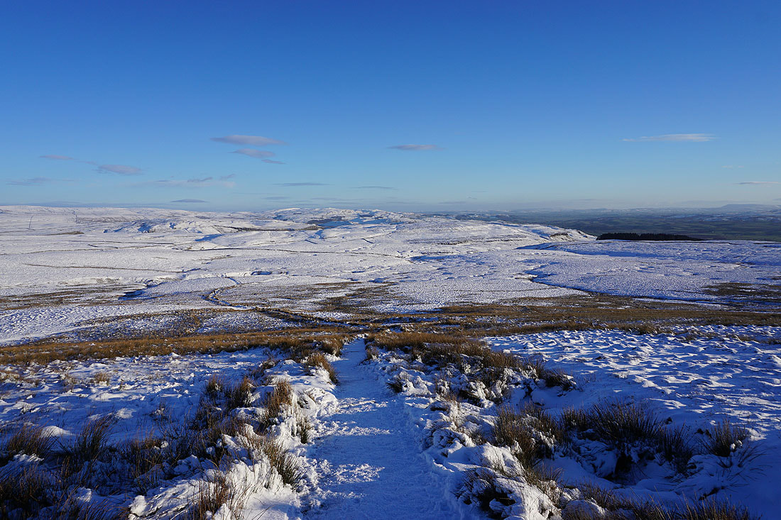
Making my descent from Little Ingleborough on the path to Trow Gill. There's a lovely light developing as it gets later in the afternoon....
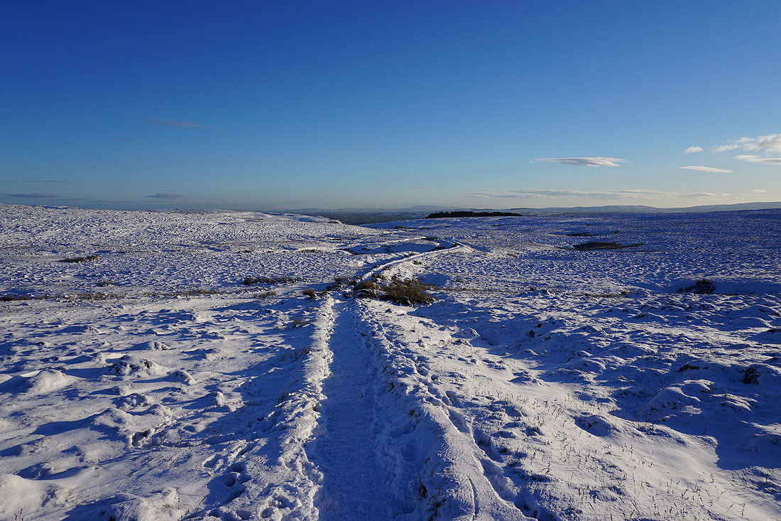
Looking back to Ingleborough and Simon Fell
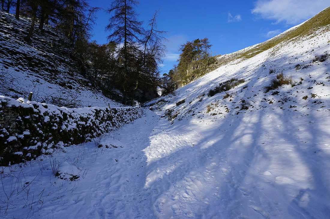
Into the shadows as I approach the top of Trow Gill..
A last chance to see Ingleborough today
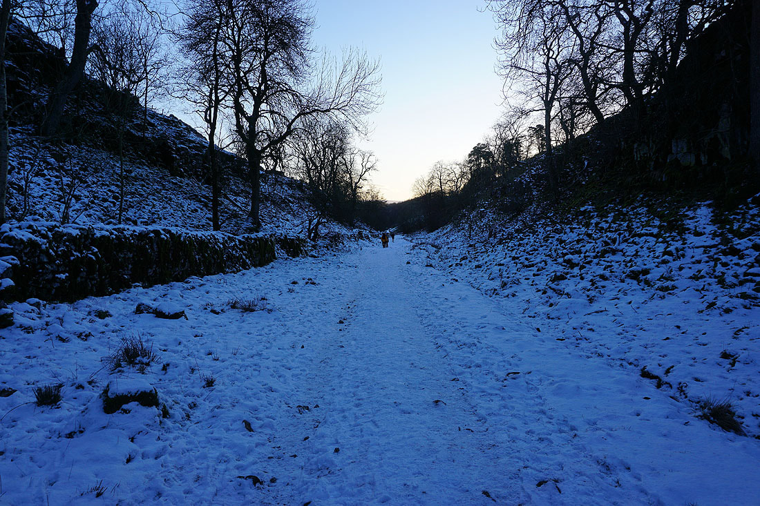
Heading down Trow Gill
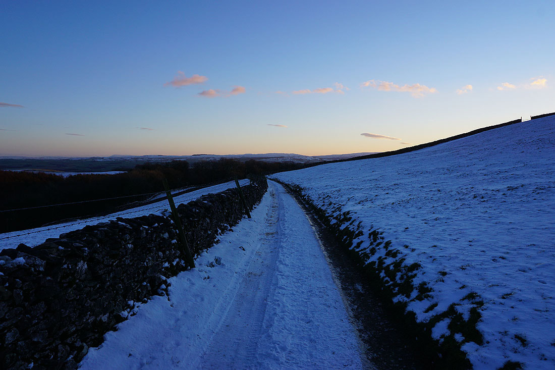
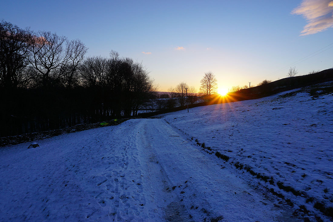
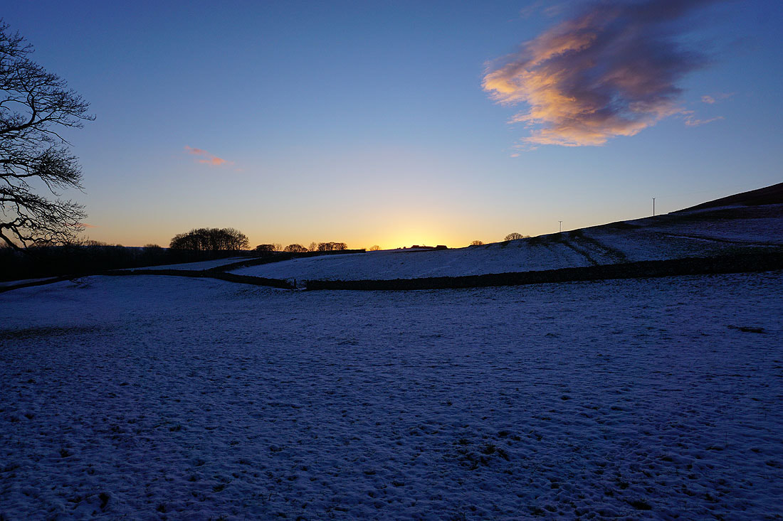
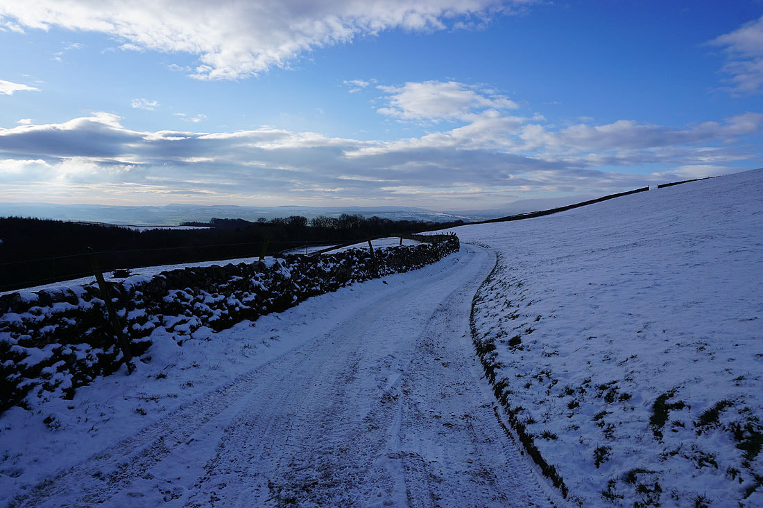
As I walk down the track from Clapdale Farm back to Clapham the sun sets and gives a last bit of colour in the sky...