2nd February 2020 - Skipton Moor
Walk Details
Distance walked: 10.1 miles
Total ascent: 1377 ft
OS map used: OL21 - South Pennines
Time taken: 5 hrs
Route description: Low Bradley-College Court-College Road-Lower House Farm-Higher House Farm-Moorgate-Green Lane-Jenkin Farm-Ridge Lane-Walkers Lane-Jowett's Lane-Haygill Nook-Draughton Moor-Dales High Way-Skipton Moor-Standard Crag-Millstone Hill-High Bradley-Low Bradley
After last weekend's poor weather there's another one to contend with, so it's a relatively low level walk close to home on the better of the two days. I decided to head to Low Bradley in Airedale, it's just south of Skipton, and have a walk up onto Skipton Moor. I did a longer version of this route last July, when it was hot and sunny, quite a contrast to today, when it was grey skies, some drizzly showers and a strong wind. At one point I did question my decision to head out, but it's a rare occasion that I've regretted it, and the bit of sunshine that I had while on the Dales High Way to Skipton Moor made up for the rest of it.
From where I parked on Ings Lane in Low Bradley I made my way to the Methodist church on Lidget Road and took the footpath beside it up the edge of a field to College Court. I then turned left onto College Road, followed it round to its end and onto the bridleway, then footpath uphill to Lower House Farm, Higher House Farm and on to Moorgate. Here I took the farm's access road out to Green Lane, where I took a footpath on the left across fields to Jenkin Farm, then this farm's access road east to Ridge Lane. I then turned right and walked south down Ridge Lane, took a left onto Walkers Lane and followed it northeast to Cowburn Farm, where I turned left and walked north up Jowett's Lane and Haygill Nook until I reached a bridleway on the right, which I took across Draughton Moor. When the bridleway reached the Dales High Way I turned left and followed the trail west (crossing Height Lane) and along the northern slopes of Skipton Moor. When the trail reached a gate on the left between two patches of woodland I went through and climbed the path up to the summit of Skipton Moor. After taking in the view I made my way south to Standard Crag and onto the footpath southeast to Millstone Hill and High Bradley Moor, where I took the footpath down to High Bradley. I then walked down High Bradley Lane to Low Bradley and through the village to where I was parked on Ings Lane.
Route map
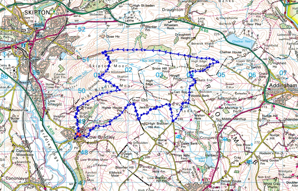
© Crown copyright. All rights reserved. License number PU 100034184.
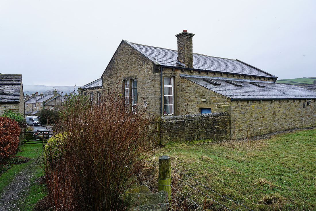
Bradley Methodist Church as I leave Low Bradley
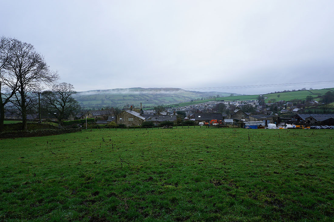
Looking across the roofs of Low Bradley to Cononley Moor on the other side of Airedale
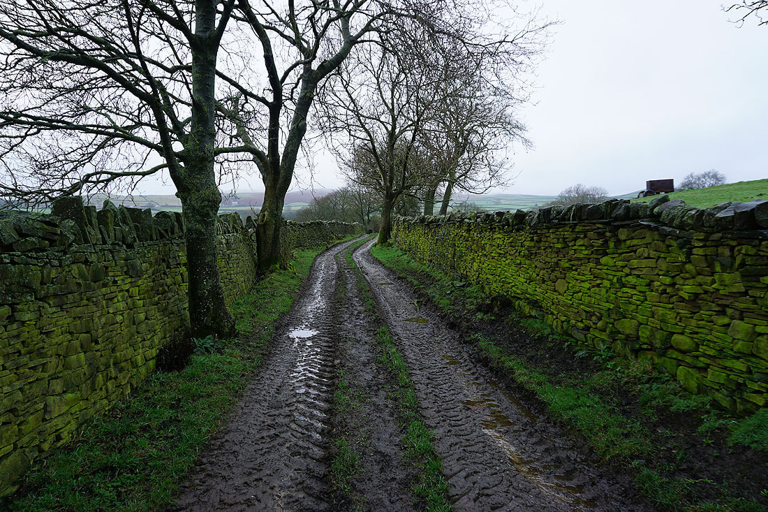
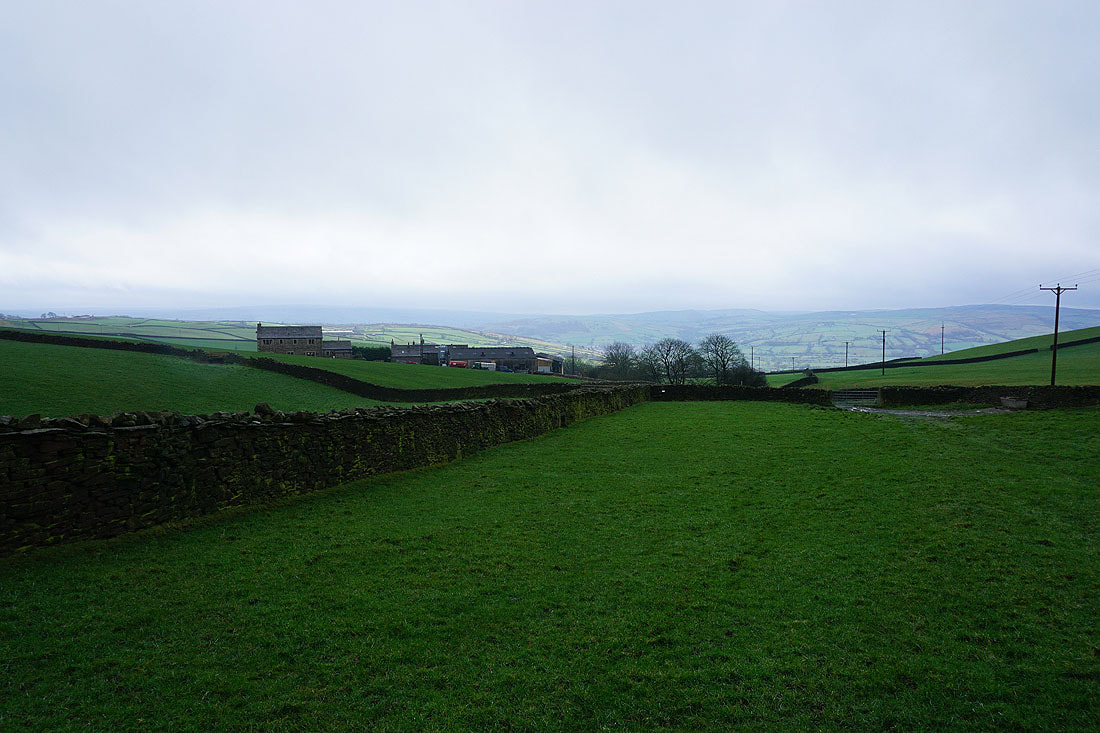
On the bridleway that will take me from Low Bradley up to Higher House Farm below High Bradley Moor
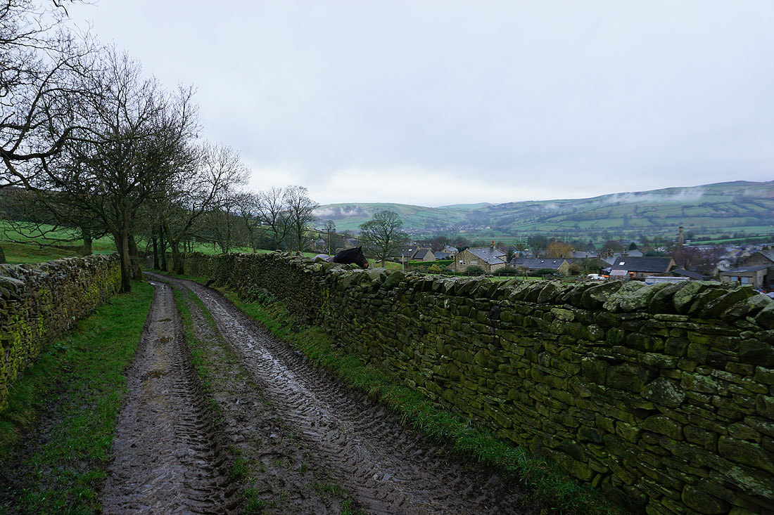
Looking back to the hill of Gib, Cononley, and Cononley Moor on the other side of Airedale..
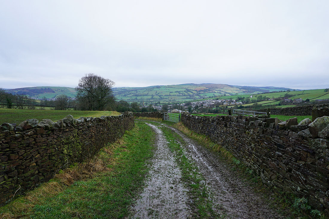
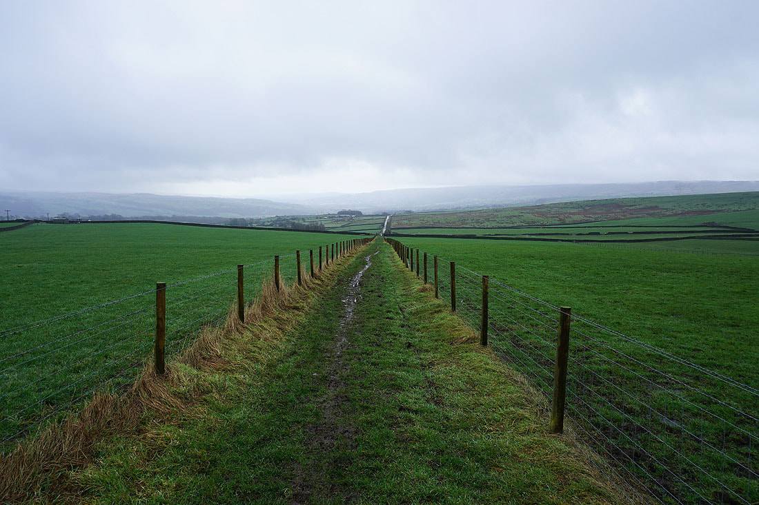
Heading uphill on the bridleway and I've got a relatively firm surface for walking on at the moment..
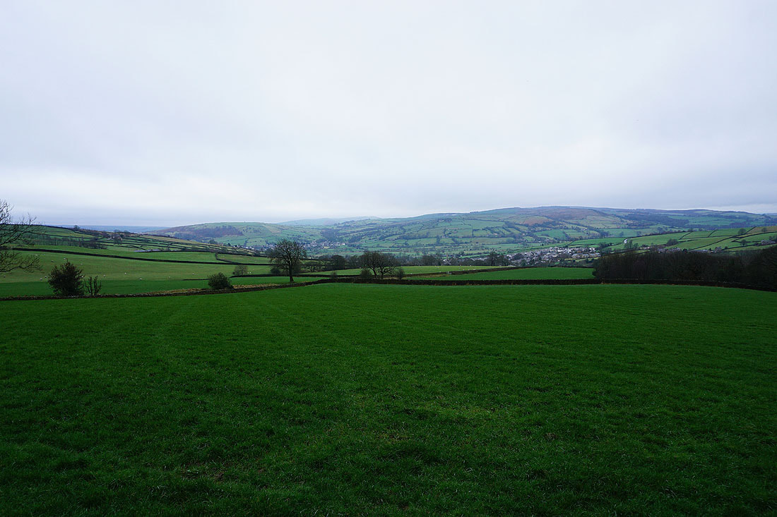
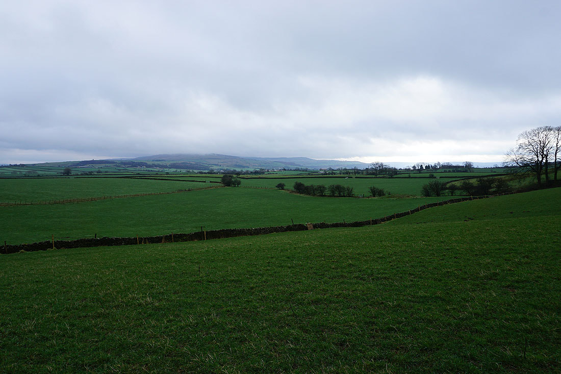
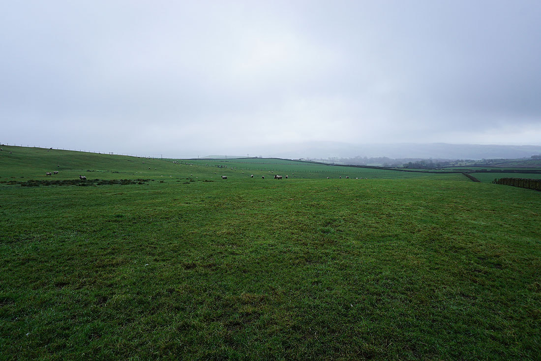
Not the most inspiring weather for taking in the view across Airedale..
..and from above Higher House Farm
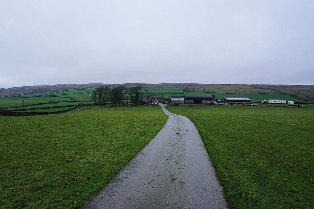
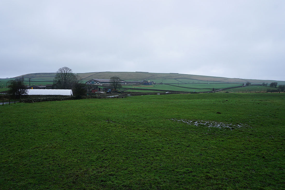
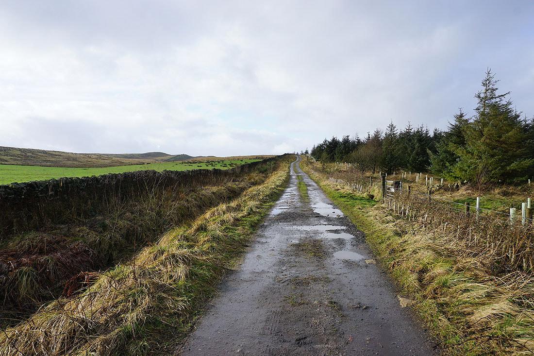
Leaving Moorgate Farm to head along Green Lane..
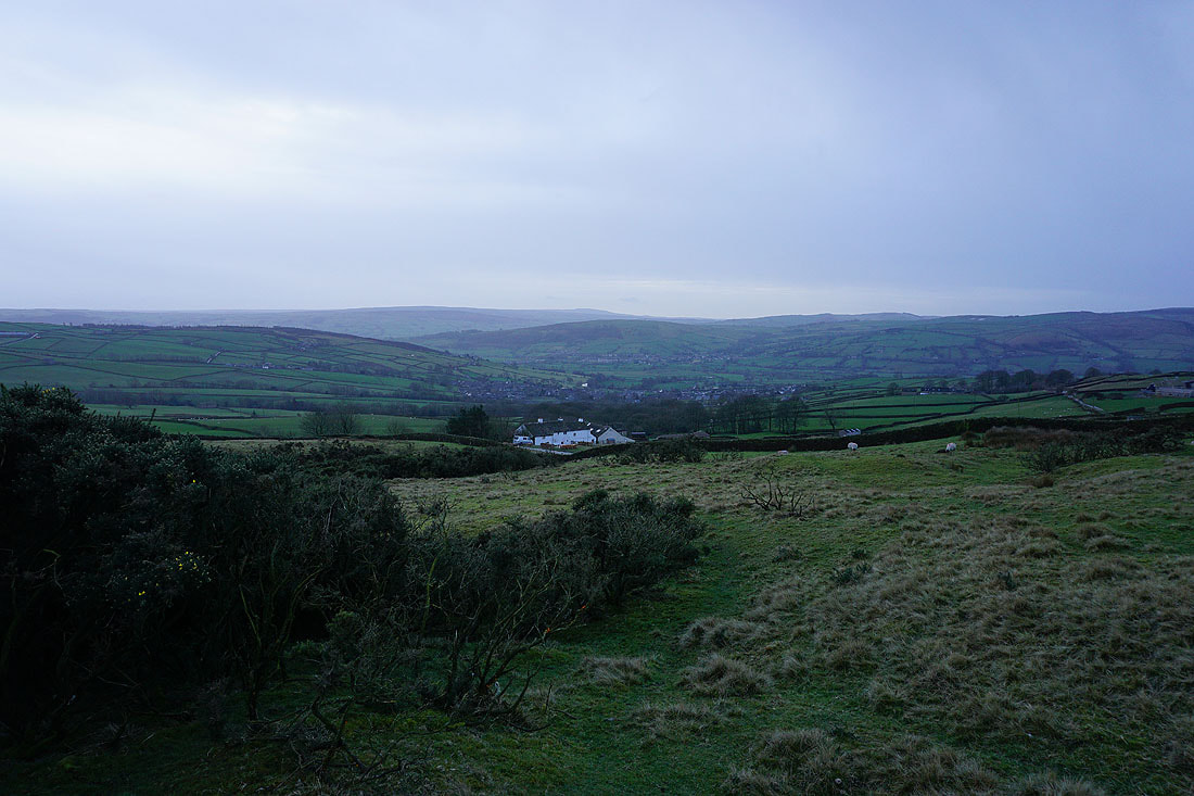
Draughton Moor, Jowett's Crag, and Woofa Bank in the distance as I approach Jenkin Farm..
..and looking south to a cloud topped Steeton Moor
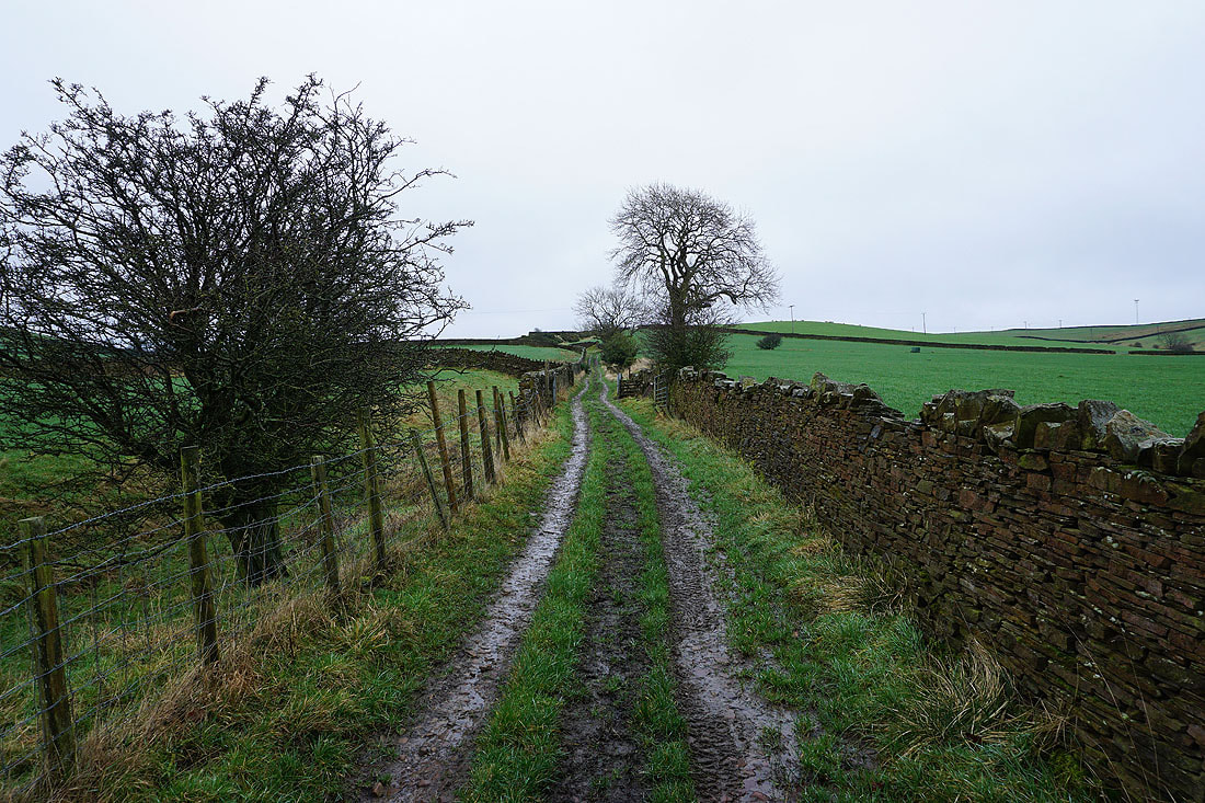
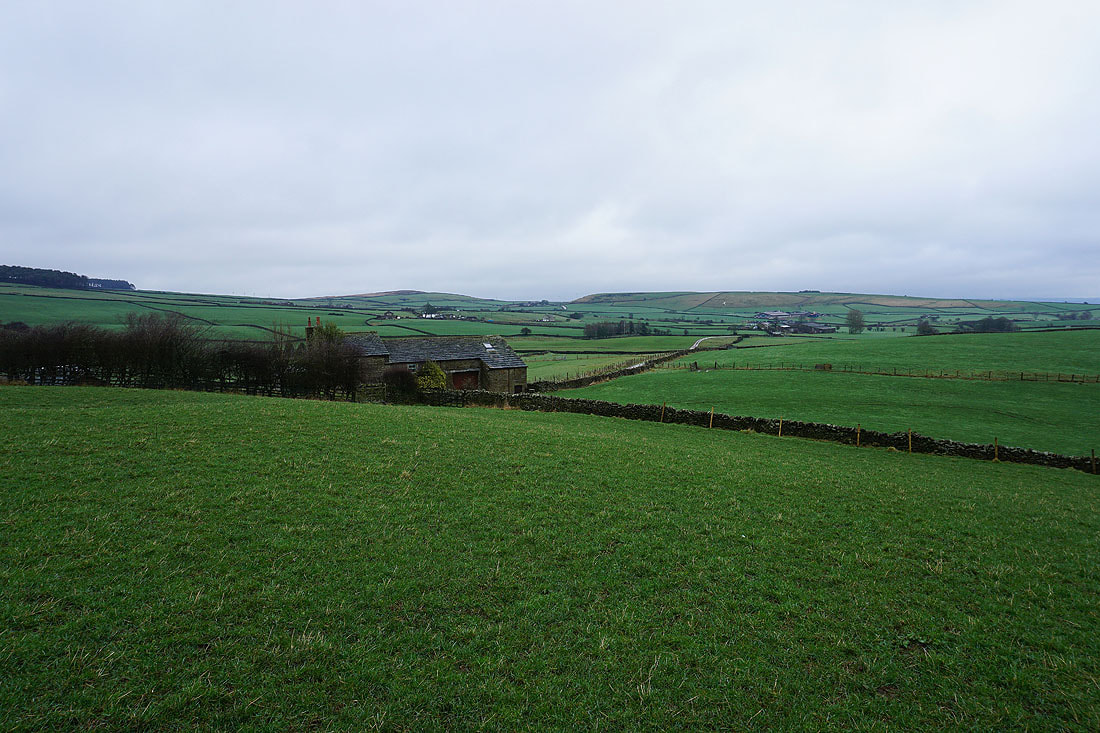
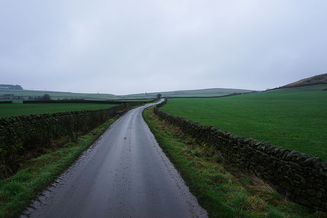
Jowett's Crag and Woofa Bank behind Cowburn Farm. I have a bit more walking along roads to endure before I reach the bridleway across Draughton Moor, and the weather is not very pleasant with drizzly showers passing through on the strong wind.
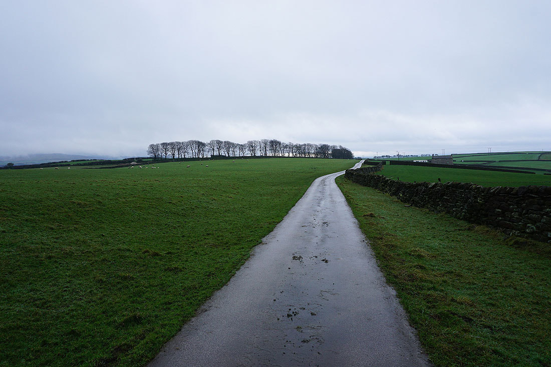
Heading up Jowett's Lane with Draughton Moor in the distance
Jowett's Crag behind Bank End Farm from the bridleway across Draughton Moor
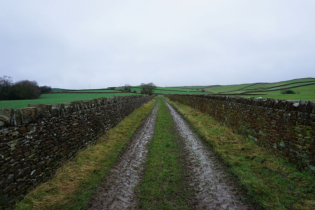
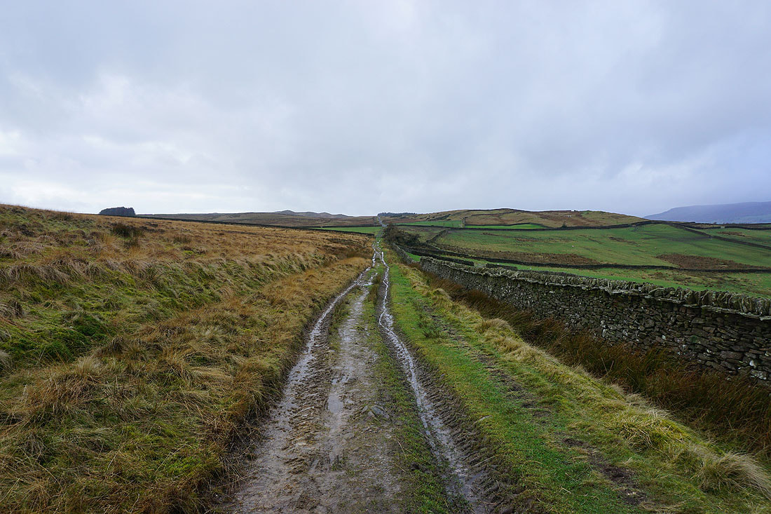
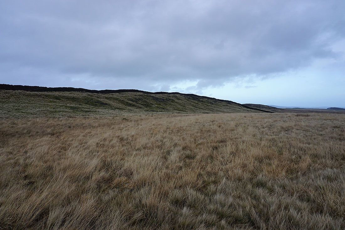
Crossing Draughton Moor and it's very wet underfoot
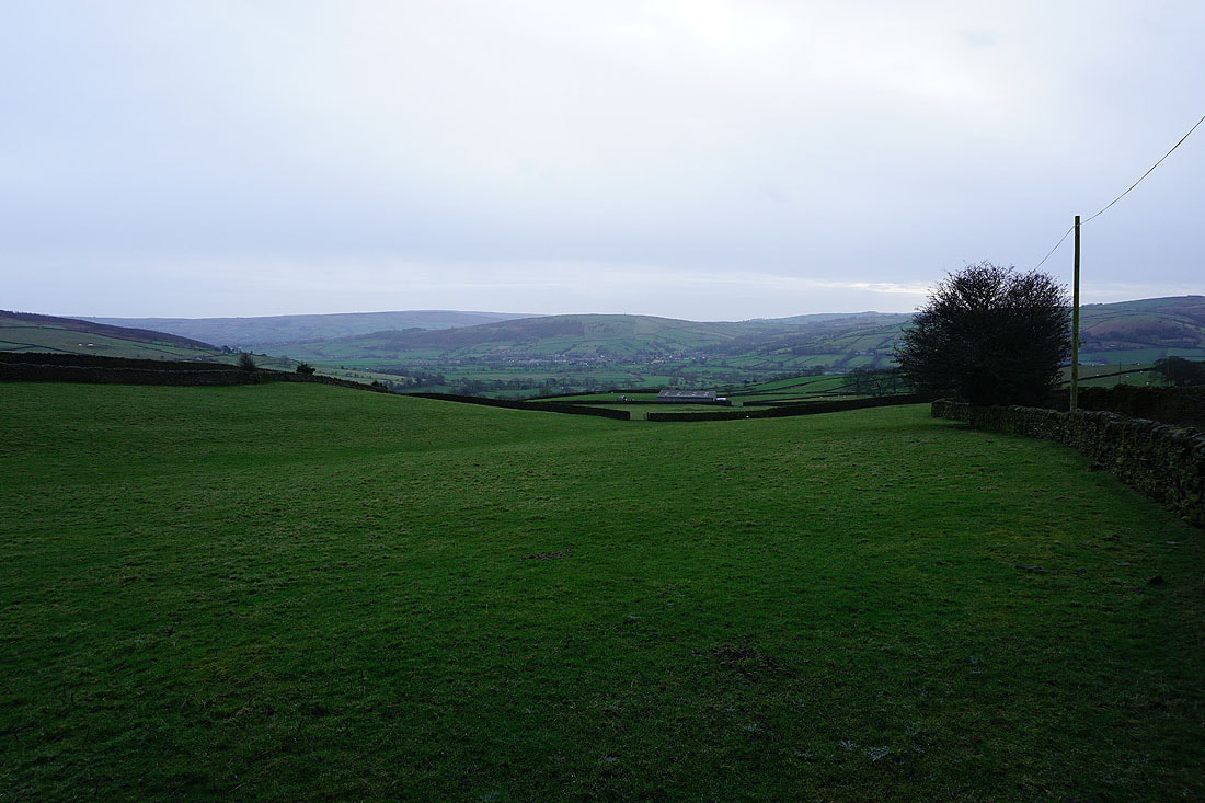
Looking down Wharfedale towards Ilkley as I reach the trail of the Dales High Way
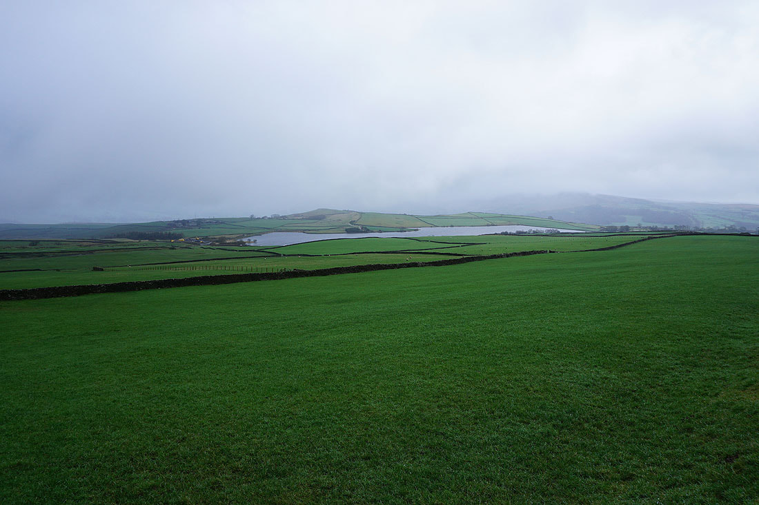
Haw Pike and Chelker Reservoir, with cloud hiding Beamsley Beacon
Looking back as I head west along the bridleway and the weather has improved with the cloud clearing from Beamsley Beacon
Heading west along the bridleway with Skipton Moor in the distance
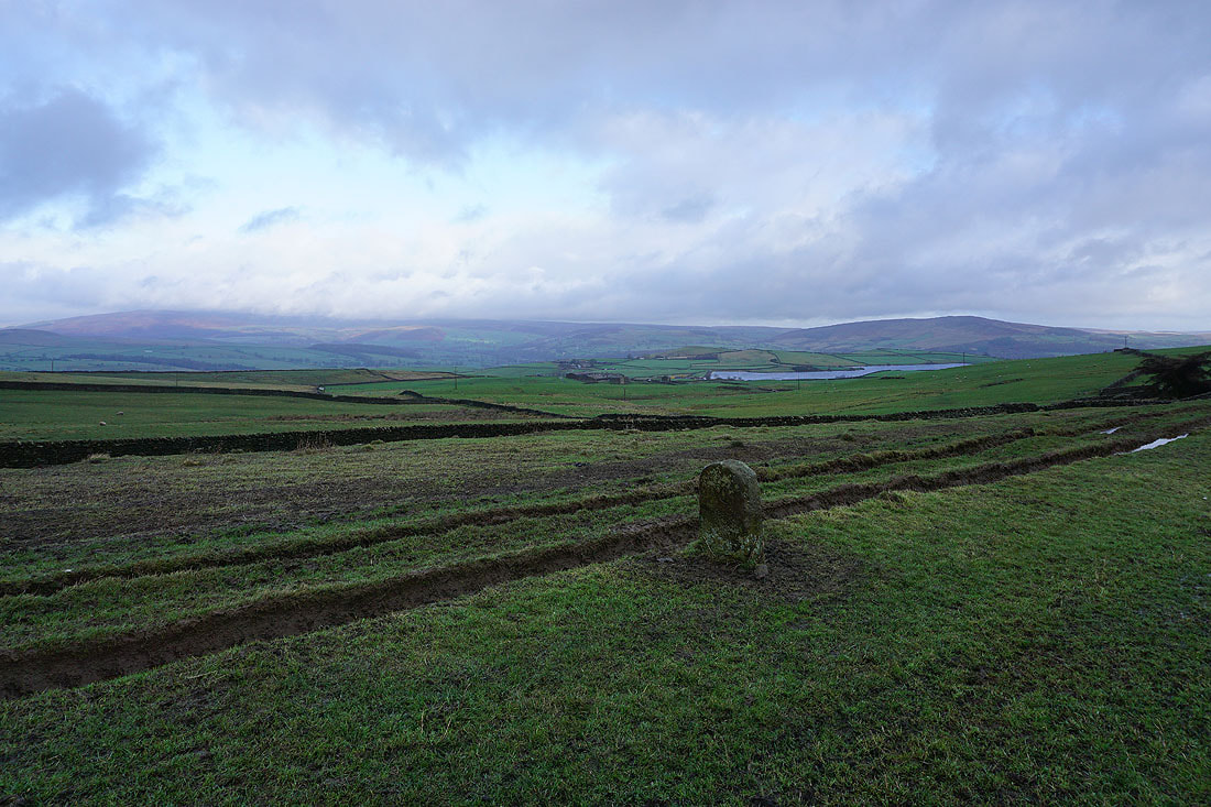
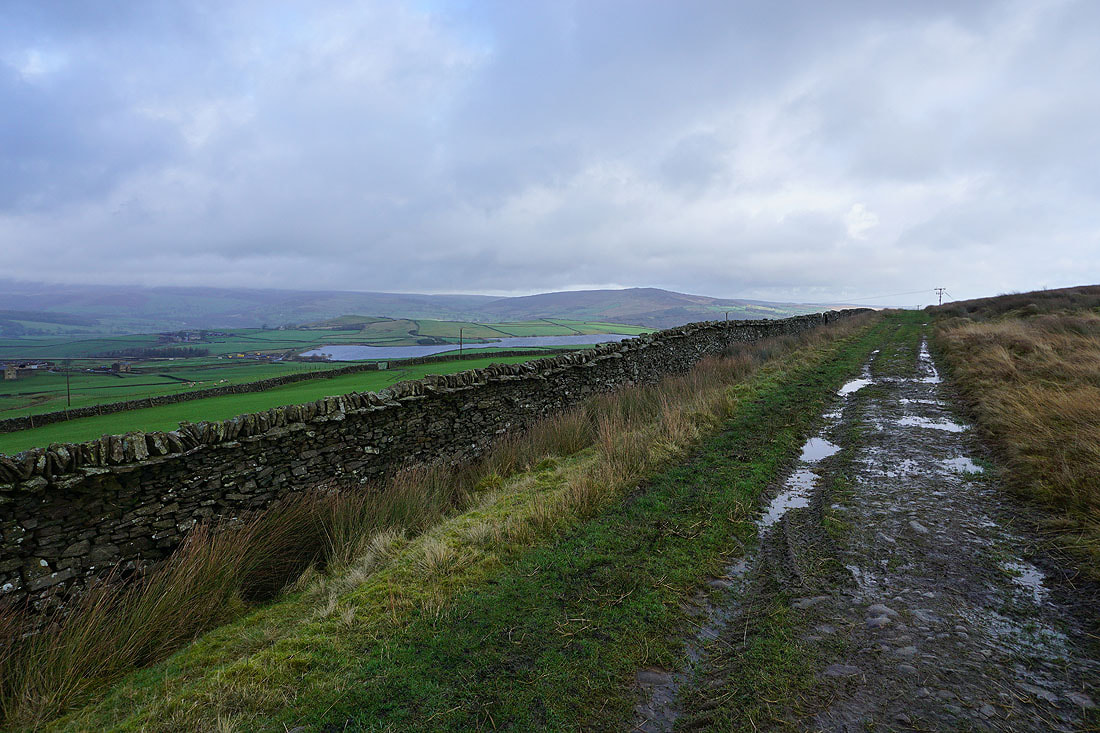
Barden Fell, Chelker Reservoir, and Beamsley Beacon, as well as a boundary stone, as the bridleway approaches Height Lane
Looking back to Draughton Moor on the right after crossing Height Lane
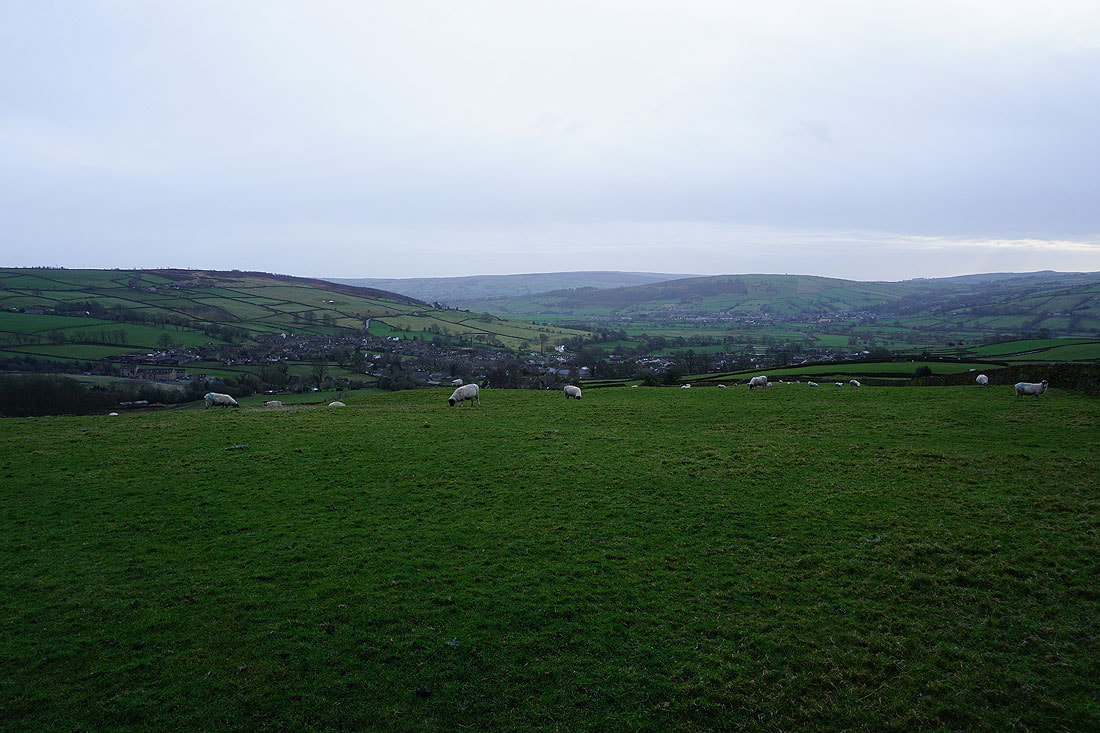
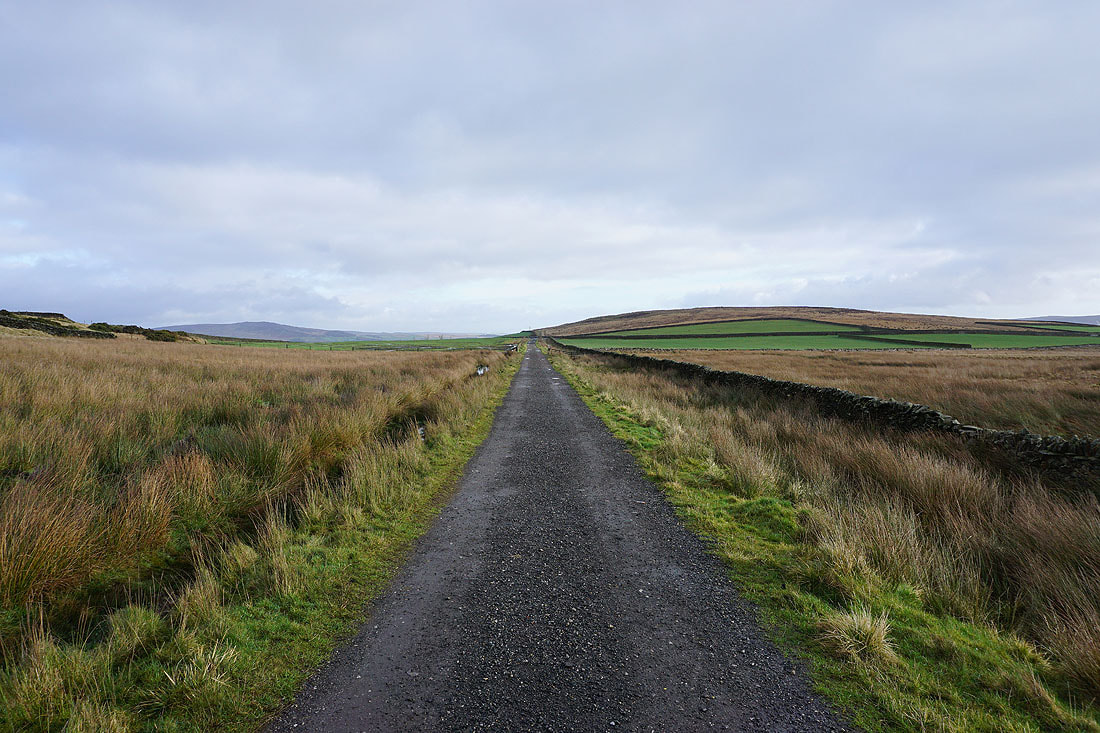
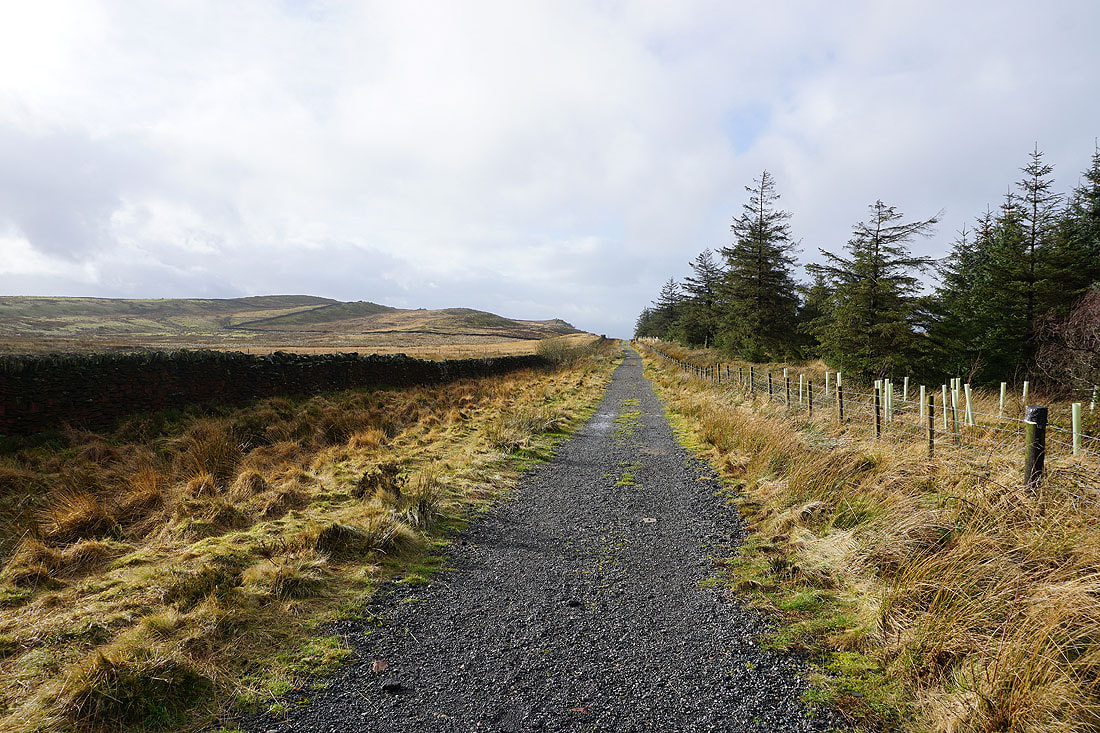
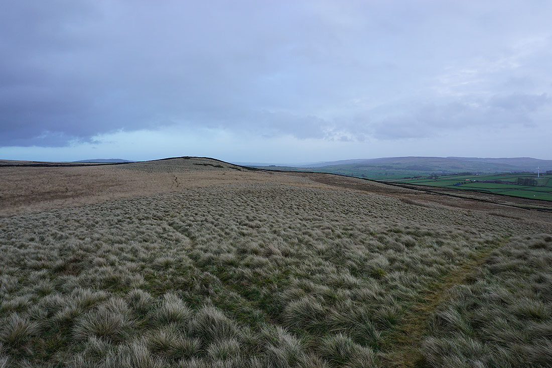
Following the bridleway west with Skipton Moor on the left, and this improvement in the weather is most welcome..
As I reach the northern slopes of Skipton Moor the view opens up to my right, with Sharp Haw and Embsay Moor on the other side of Skipton..
..and this improves as I leave the bridleway for the path up to the summit
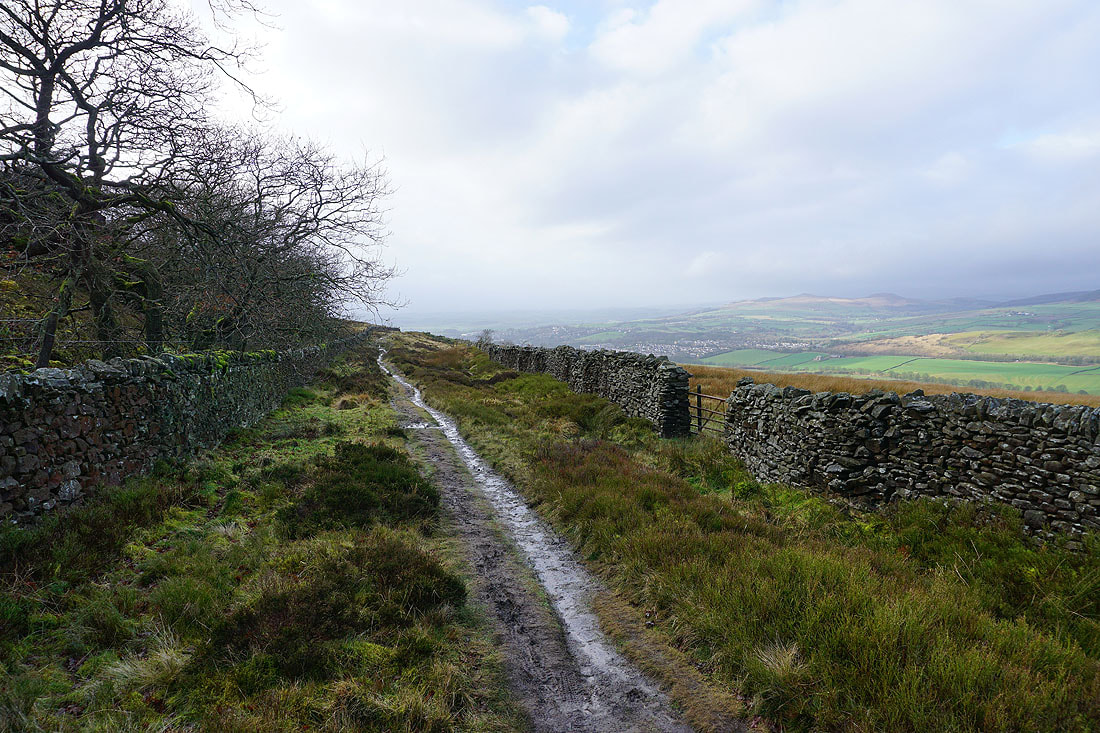
Skipton from the gritstone outcrops below the summit
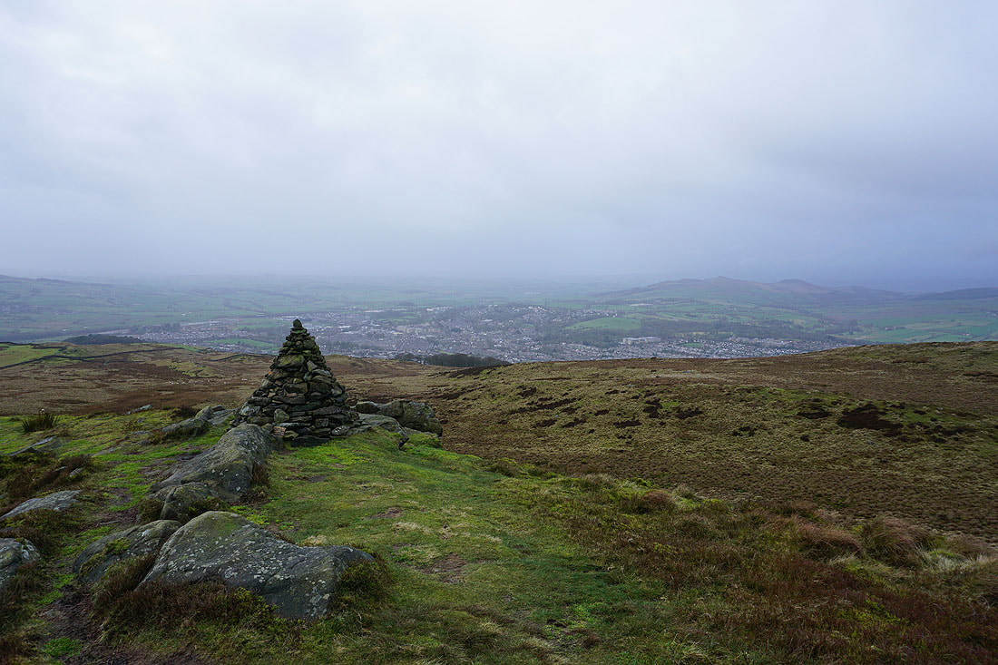
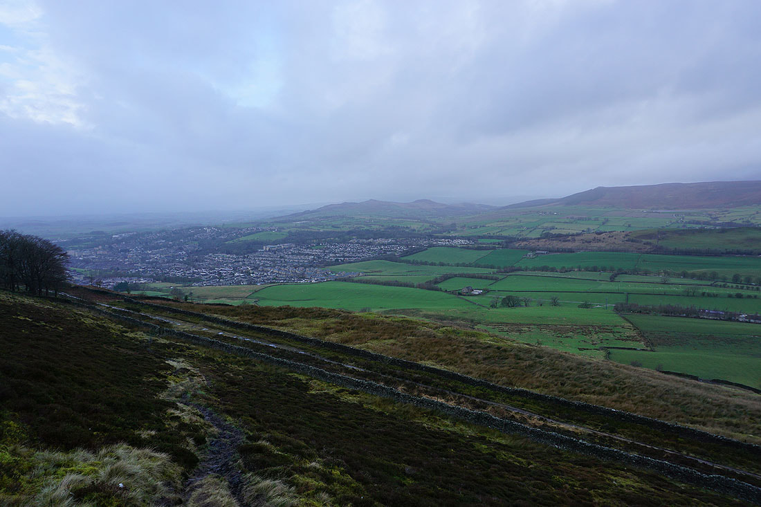
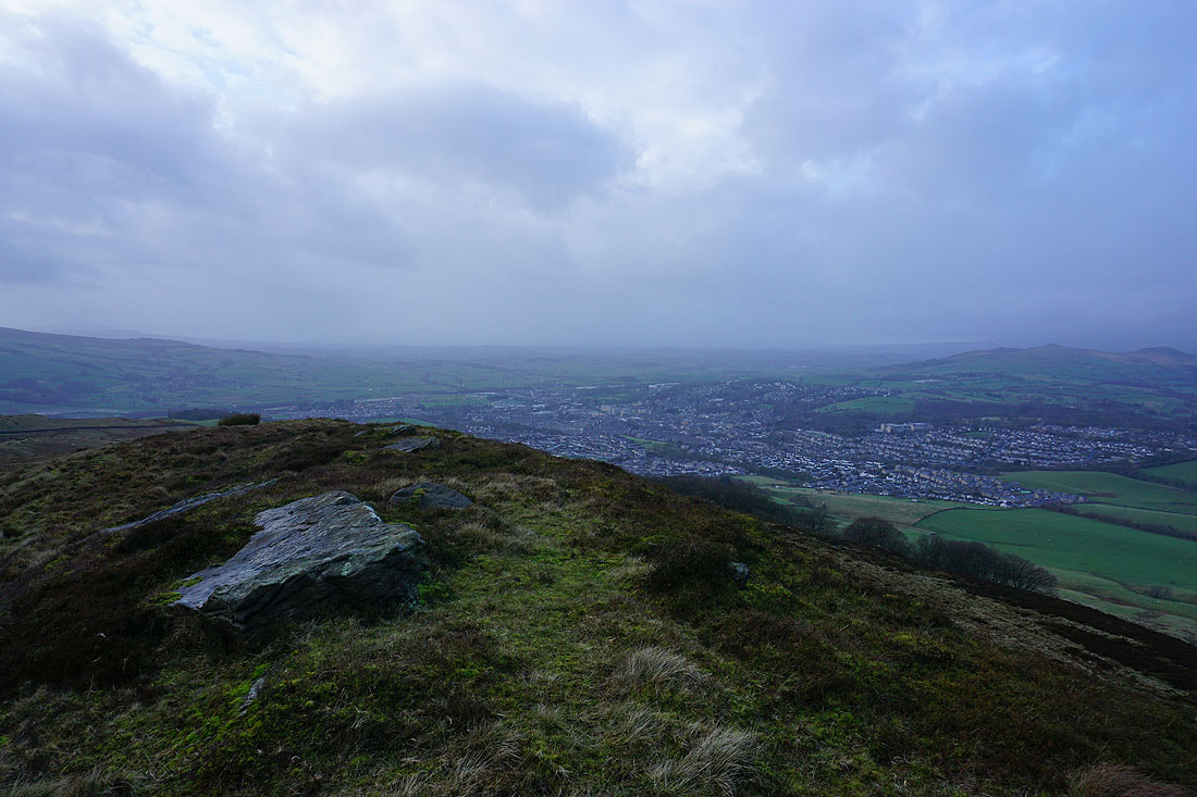
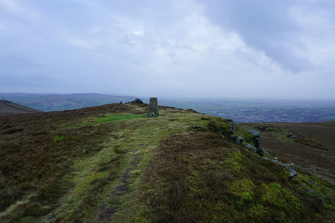
and Skipton, Sharp Haw and Rough Haw from the summit of Skipton Moor. The better weather didn't last long, it's back to grey and gloomy.
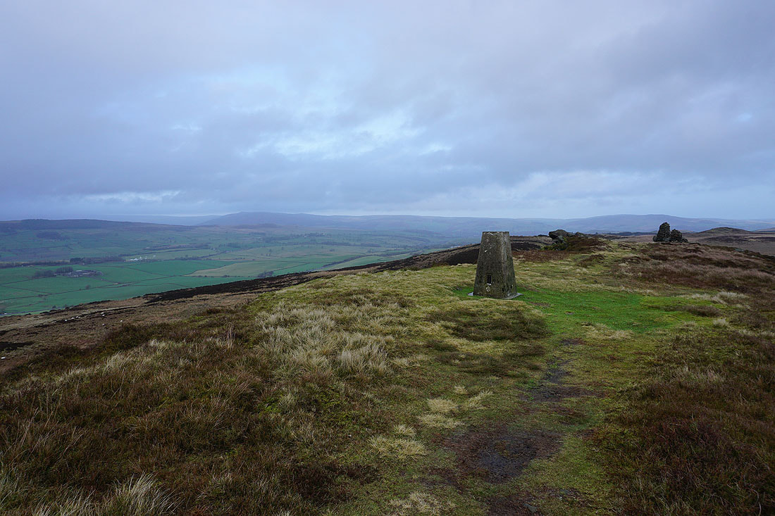
Barden Fell and Beamsley Beacon in the distance from the trig point
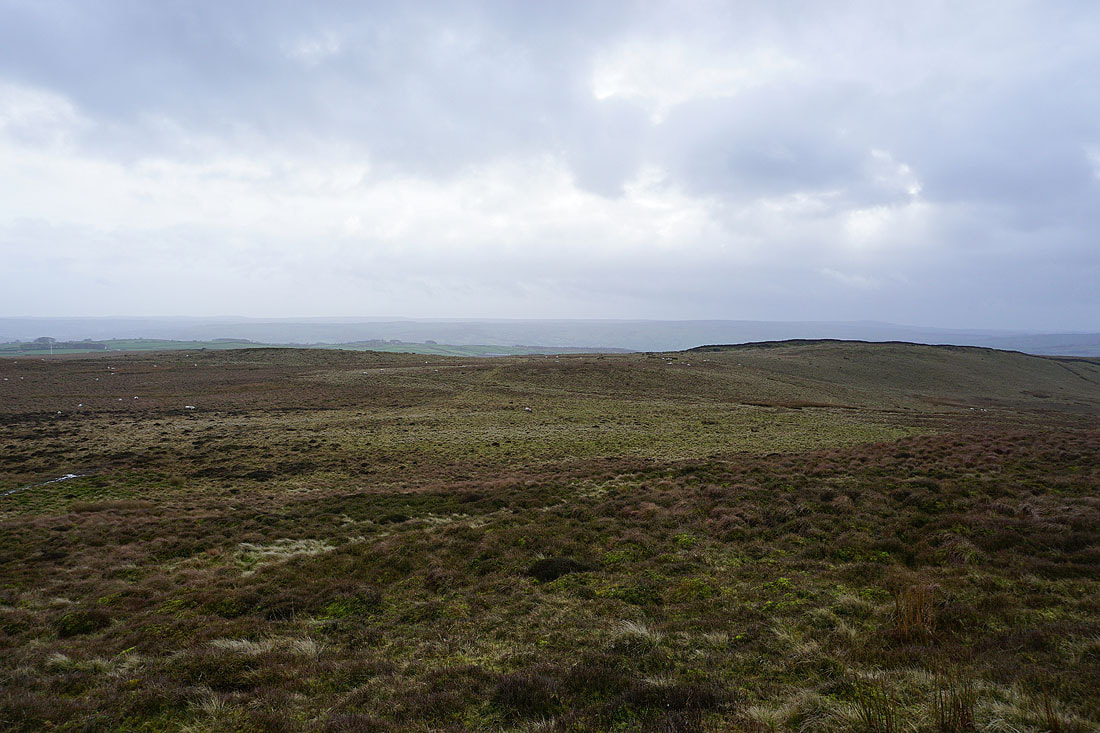
Steeton Moor, Sutton Moor and Ickornshaw Moor in the distance to the south
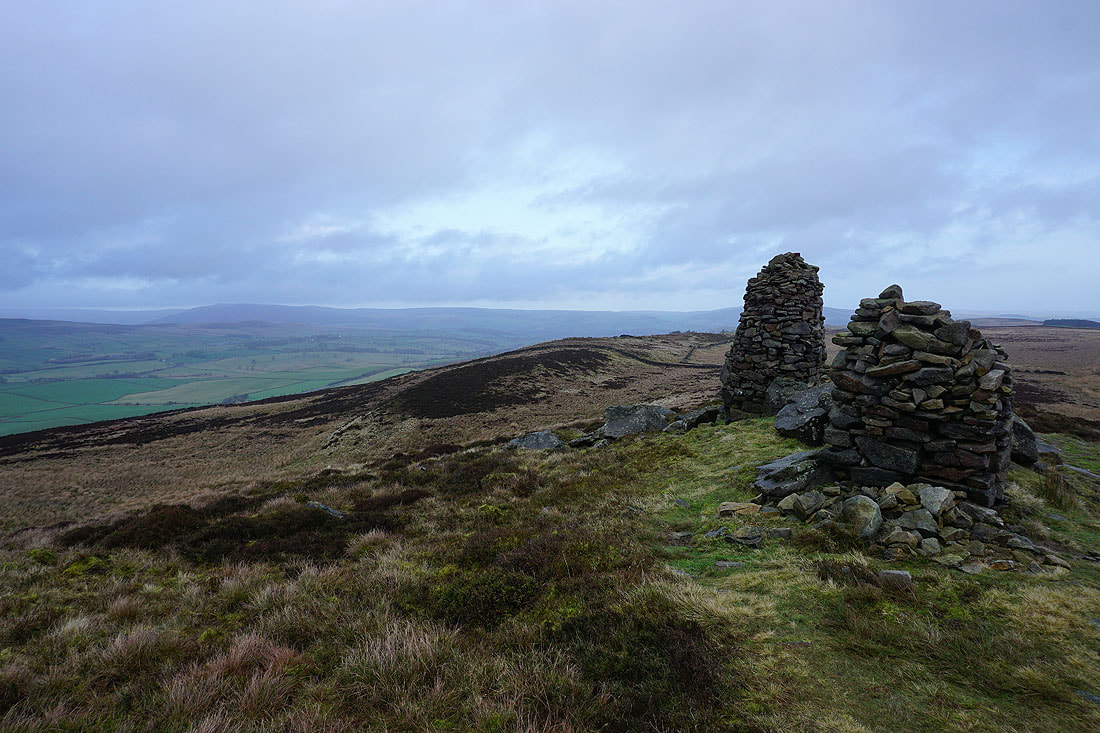
Barden Fell from the cairns at the eastern end of the summit
Along with Sharp Haw, Rough Haw, and Embsay below Embsay Moor
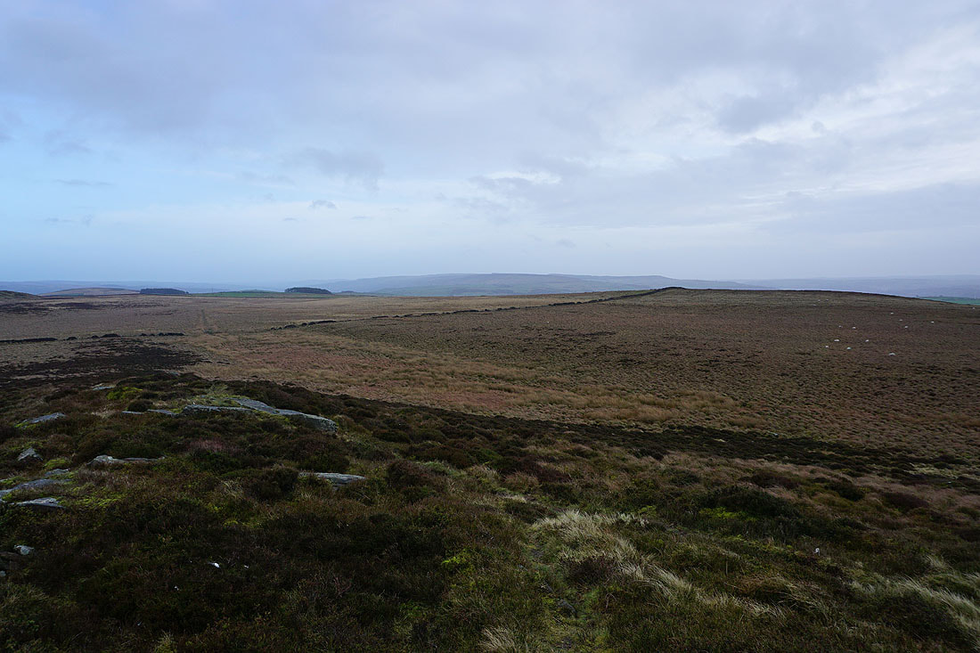
Addingham High Moor in the distance beyond the flat expanses of Vicar's Allotment
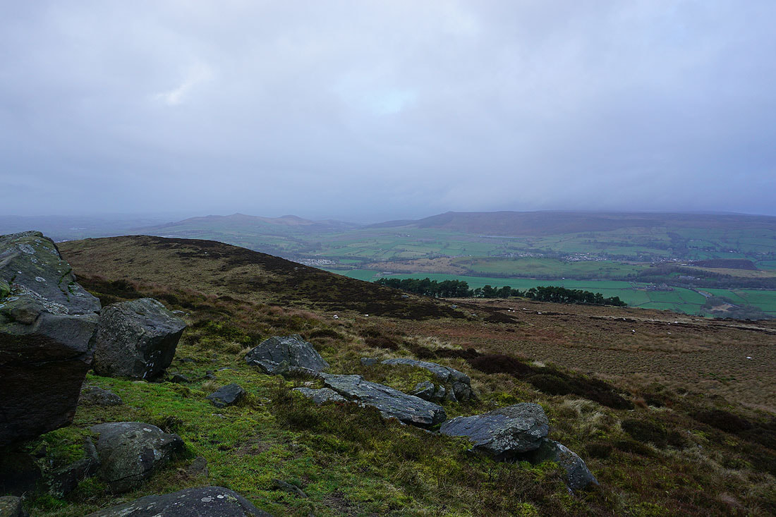
Carleton Moor in the distance on the left, and Skipton below on the right
Addingham High Moor in the distance from Standard Crag
Standard Crag
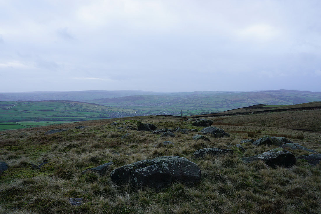
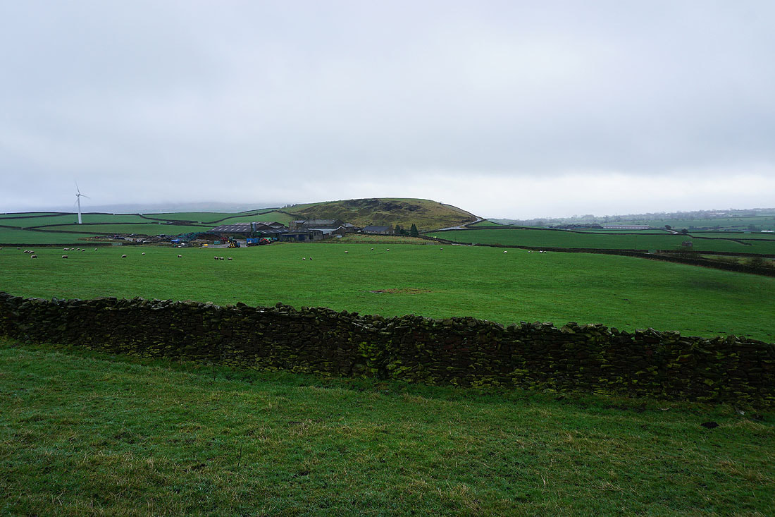
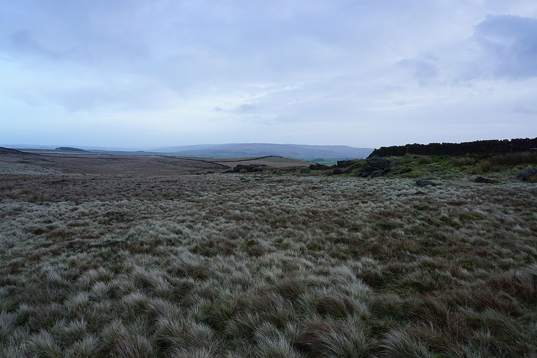
On Millstone Hill and there's a good view across Airedale from here, taking in Farnhill Moor, Low Bradley, Gib, Cononley, and the hills around Lothersdale
High Bradley Moor