2nd January 2009 - The Dodds
Walk Details
Distance walked: 11.1 miles
Total ascent: 2587 ft
OS map used: OL5 - The English Lakes, North-eastern area
Time taken: 6.5 hrs
Route description: High Row-Dowthwaitehead-Birkett Fell-Hart Side-Green Side-Stybarrow Dodd-Watson's Dodd-Great Dodd-Calfhow Pike-Clough Head-White Pike-Old Coach Road-High Row
A bitterly cold day for this walk across the Dodds and most of the time spent on the tops was in low cloud.
From the car park at High Row I followed the road to its end at Dowthwaitehead where I walked through the farmyard to take the path that heads over into Glencoyne. I left the path to make my way upto the cairn on Birkett Fell. I then walked across the tops of Hart Side and Green Side to reach the summit of Stybarrow Dodd. From Stybarrow Dodd I then visited the summits of Watson's Dodd, Great Dodd, Calfhow Pike and Clough Head before I descended to the Old Coach Road whcih I followed back to the start.
Route map
© Crown copyright. All rights reserved. License number PU 100034184.
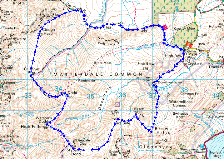
At the cairn on Birkett Fell
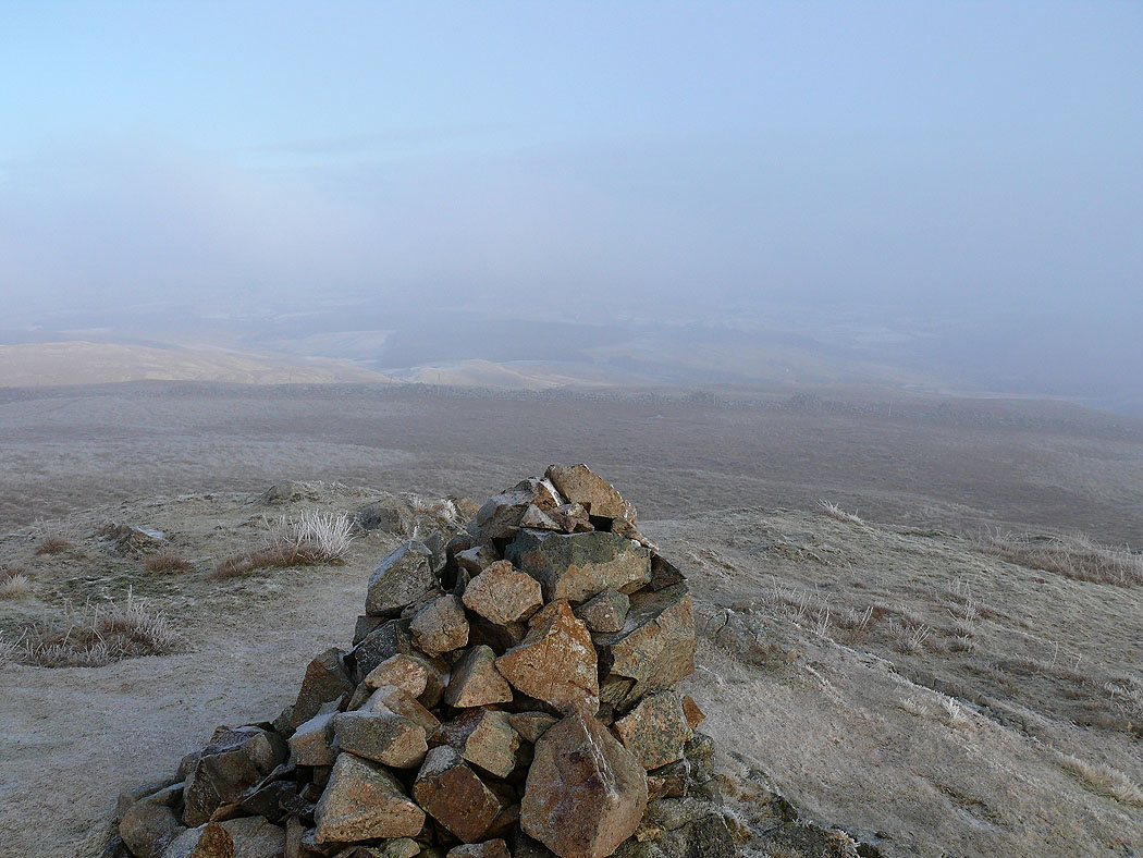
The cloud briefly lifts to show Gowbarrow Fell and part of Ullswater
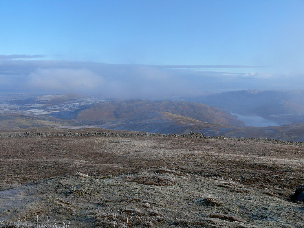
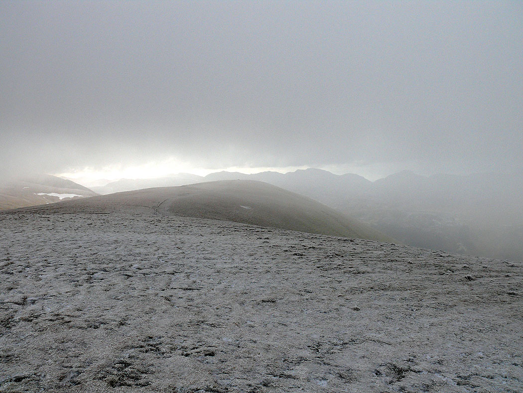
On Stybarrow Dodd looking towards Watson's Dodd
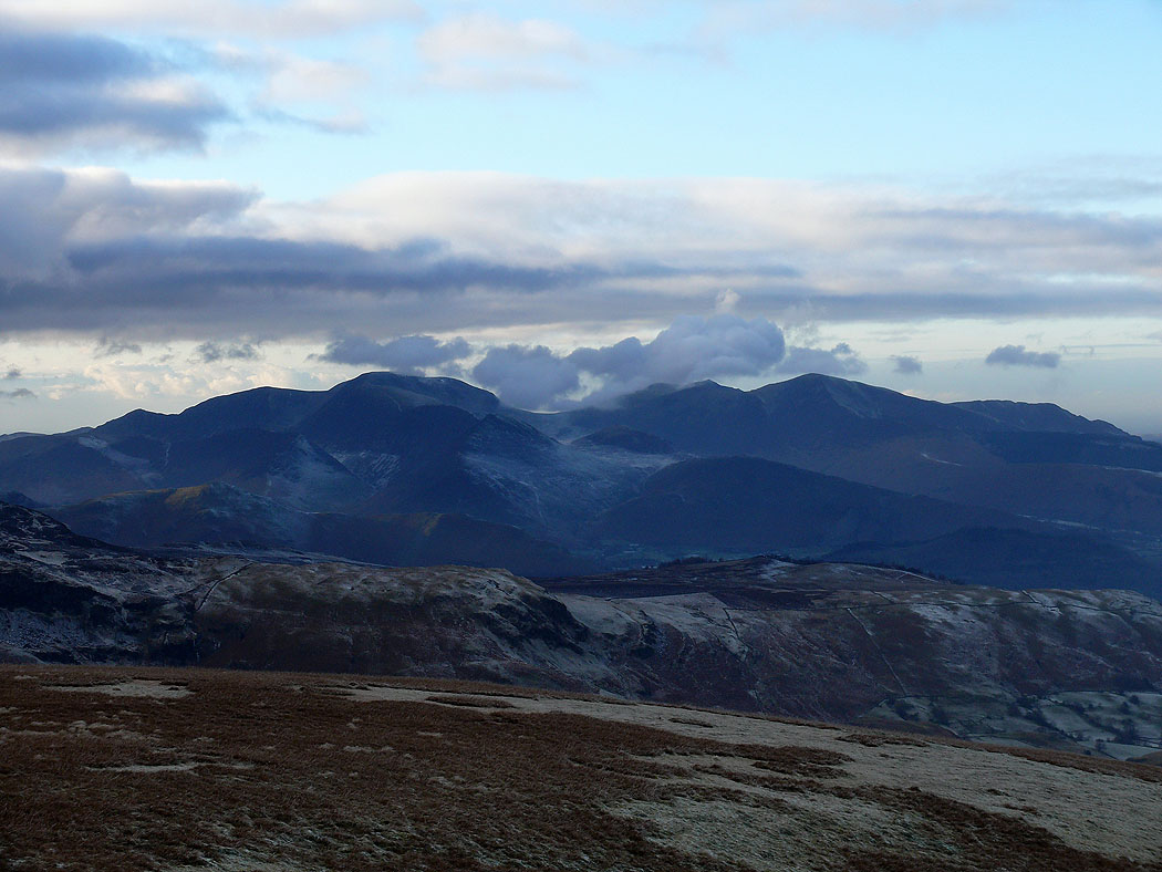
A brief glimpse of Bowfell, Esk Pike, Scafell Pike and Great Gable through the mist
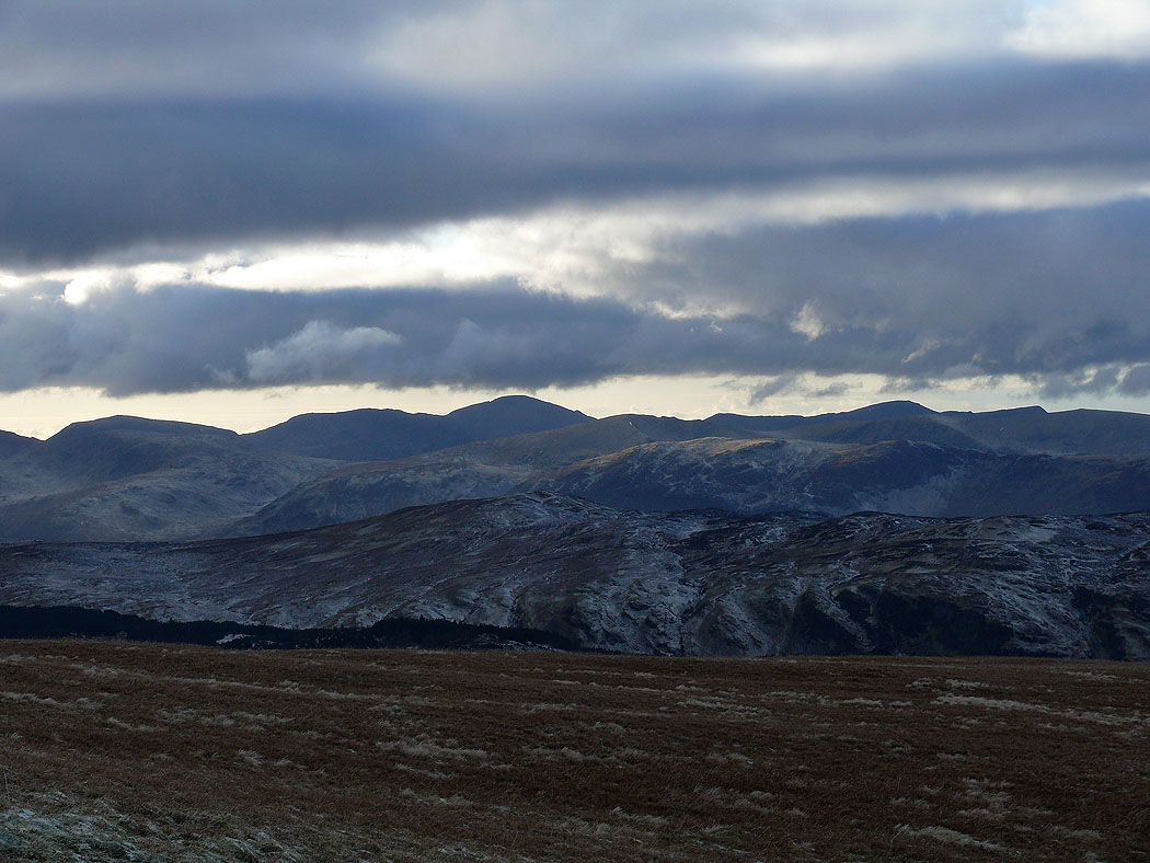
A clearer view of the same fells from Watson's Dodd
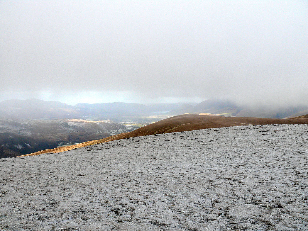
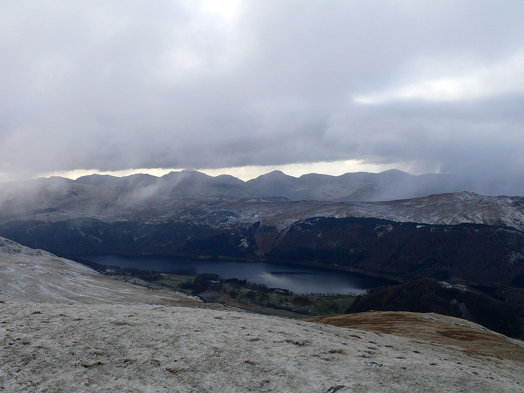
High Rigg and St. John's in the Vale
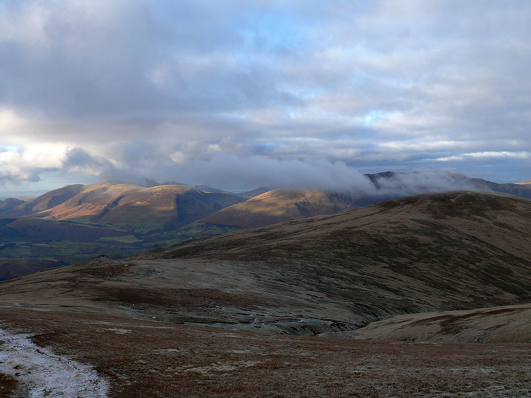
The cloud lifts as I leave Great Dodd and head for Calfhow Pike and Clough Head
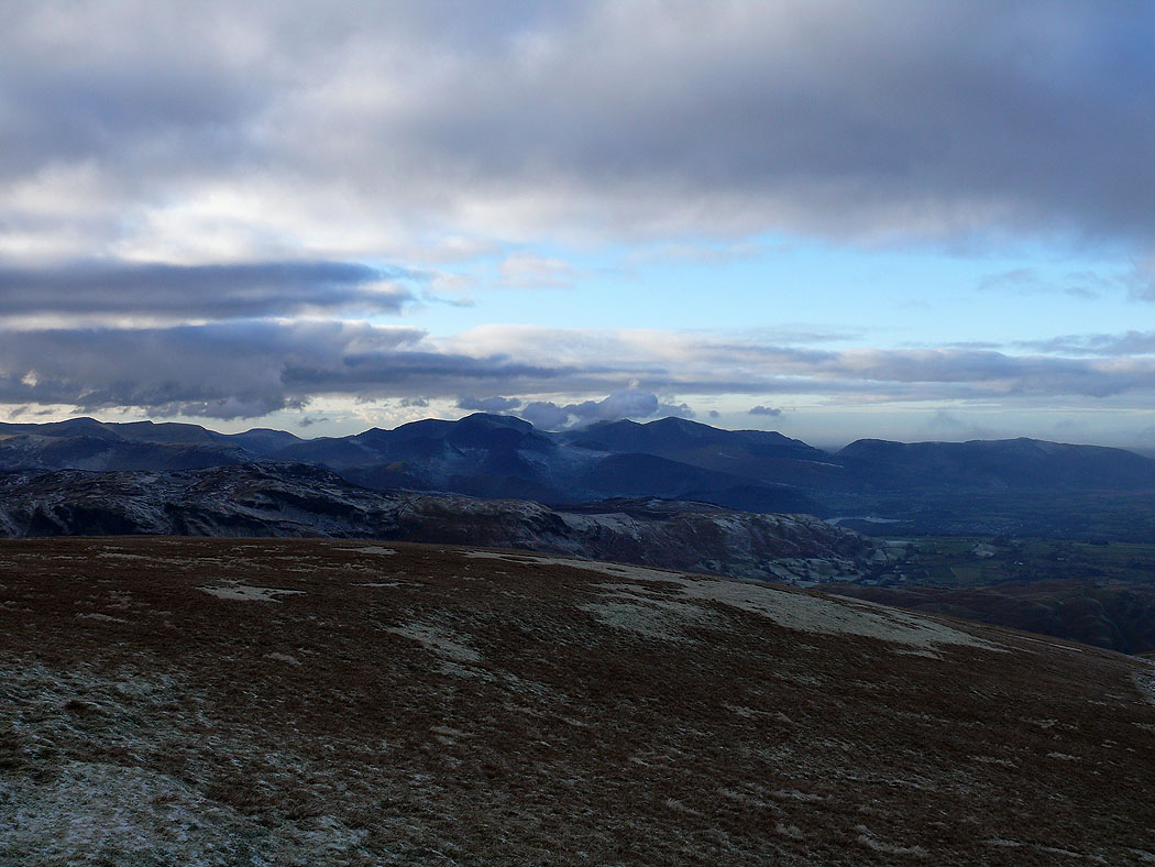
Crag Hill, Grisedale Pike and the northwestern fells
Zooming in on Crag Hill and Grisedale Pike
Pillar in the middle of the picture
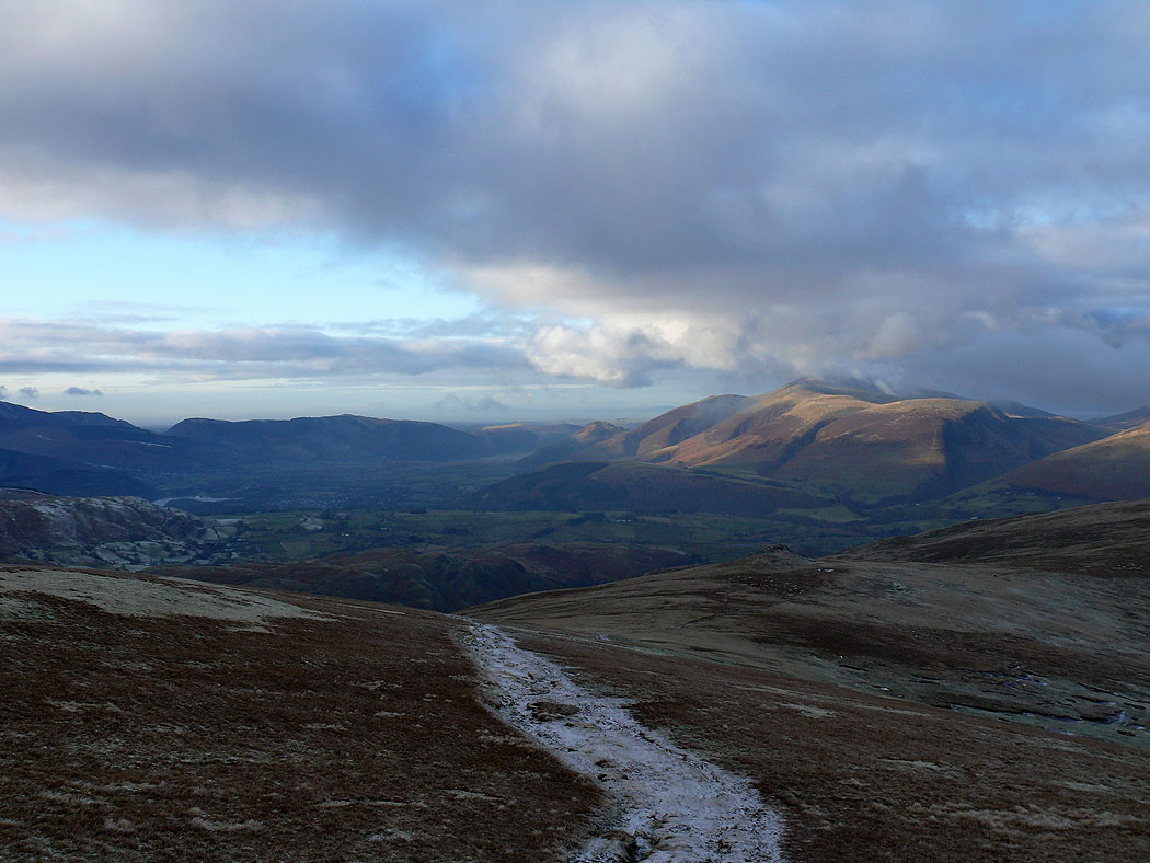
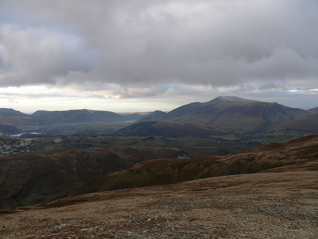
The Vale of Keswick and Skiddaw
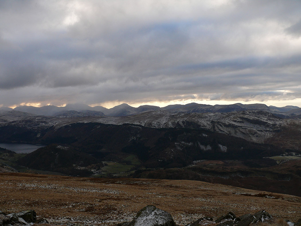
Skiddaw from Calfhow Pike
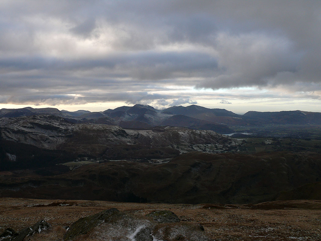
Crag Hill, Grisedale Pike and the northwestern fells
Bowfell, Esk Pike, Scafell Pike, Great Gable and Pillar
Across the Solway Firth
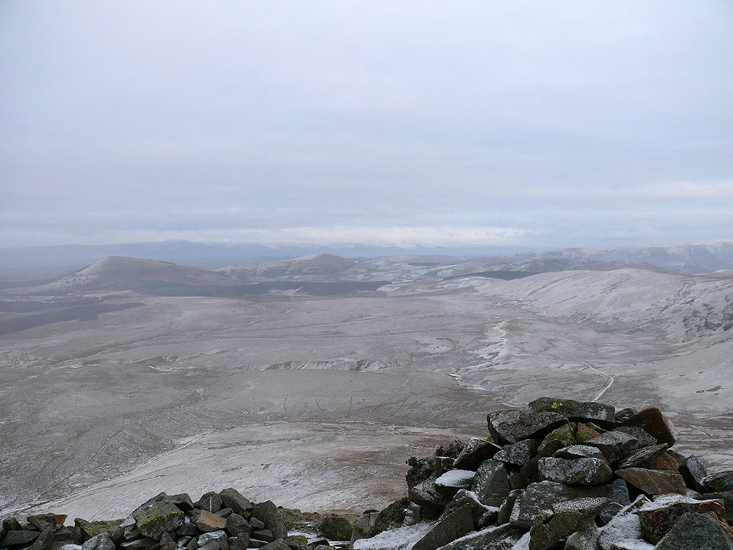
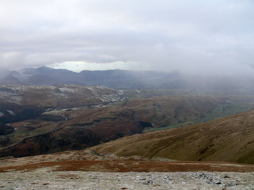
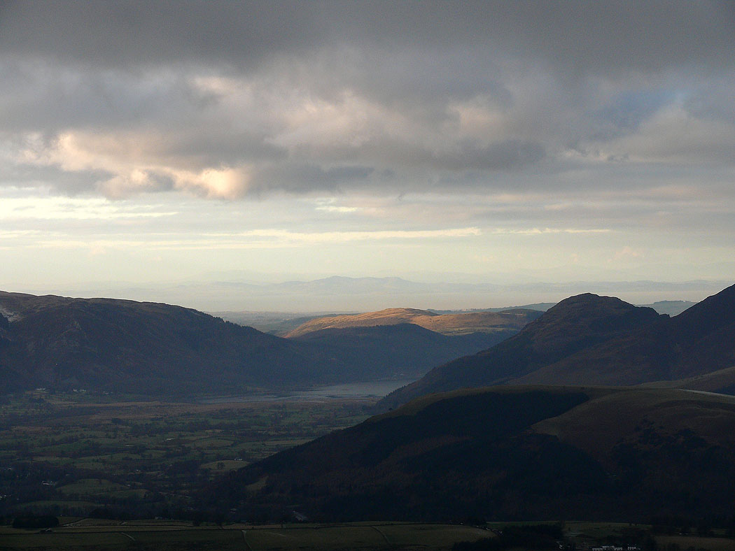
The cloud came down again on the way up Clough Head, so the final shot of the day is from White Pike before I make my way down to the Old Coach Road. The view east across to the Mell Fells.