2nd January 2011 - Great Whernside
Walk Details
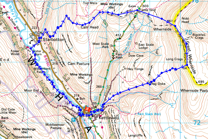
Distance walked: 9.1 miles
Total ascent: 2005 ft
OS map used: OL30 - Yorkshire Dales, Northern & Central areas
Time taken: 5.5 hrs
Route description: Kettlewell-Dales Way-Starbotton-Starbotton Cam Road-Starbotton Road-Little Hunters Sleets-Black Dike-Great Whernside-Hag Dyke-Kettlewell
The Dales Way was followed to Starbotton, then the green lanes of Starbotton Cam Road and Starbotton Road to the ascent of Great Whernside with the descent back to Kettlewell.
Route map
First walk of the new year and a trip to Wharfedale to climb Great Whernside from Kettlewell. I wanted to lengthen the walk so I walked to Starbotton along the Dales Way first.
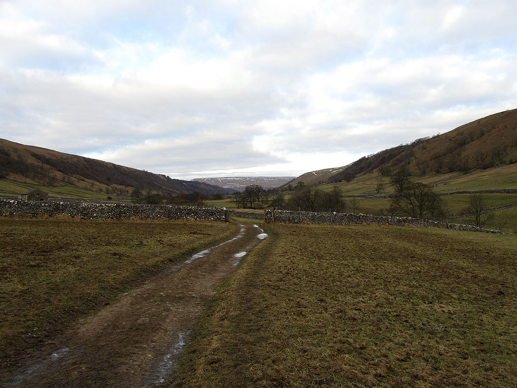
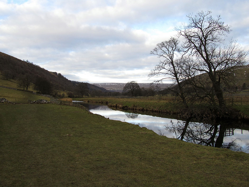
Heading up Wharfedale
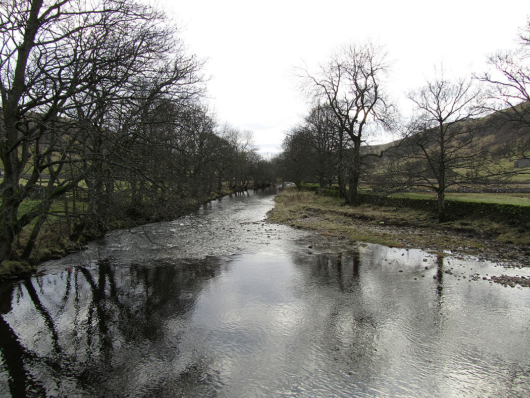
Crossing the Wharfe at Starbotton
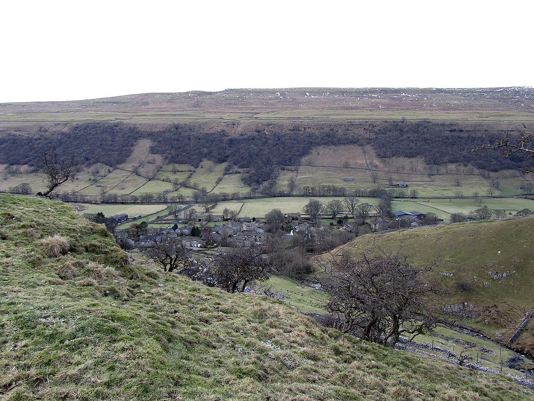
Starbotton down in Wharfedale
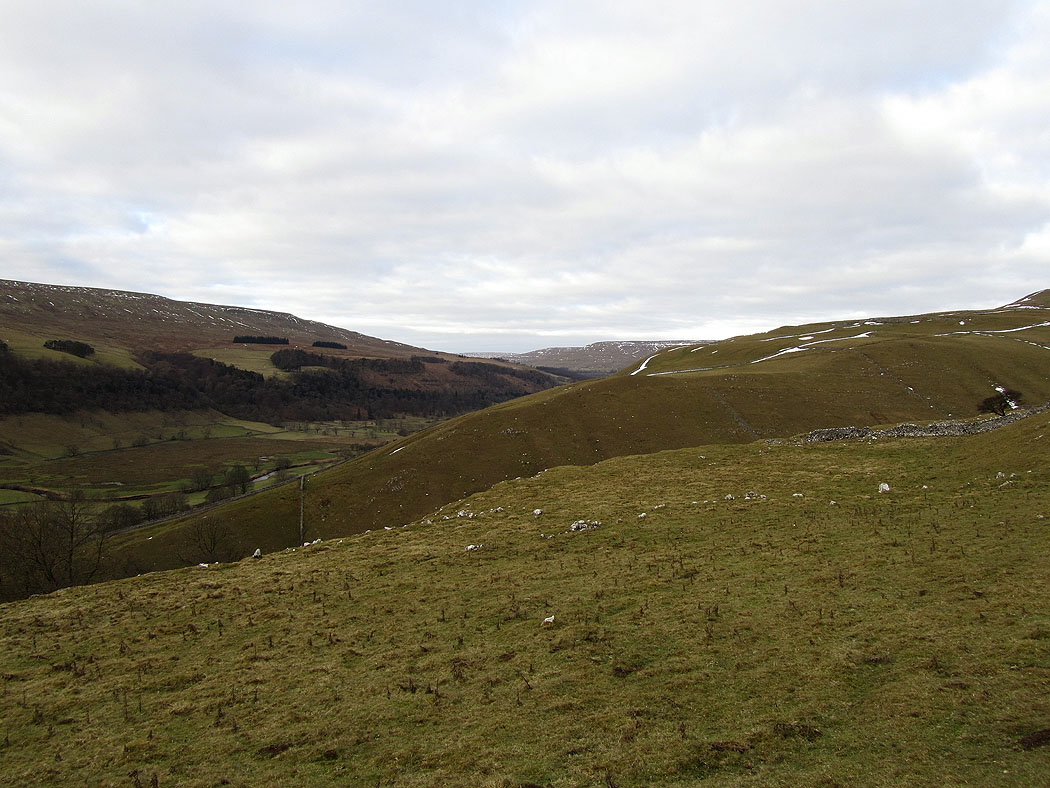
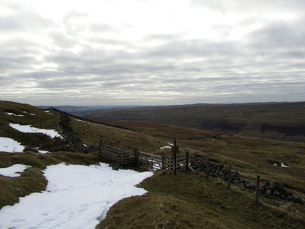
The view up Wharfedale as I climb up Starbotton Cam Road
Higher up
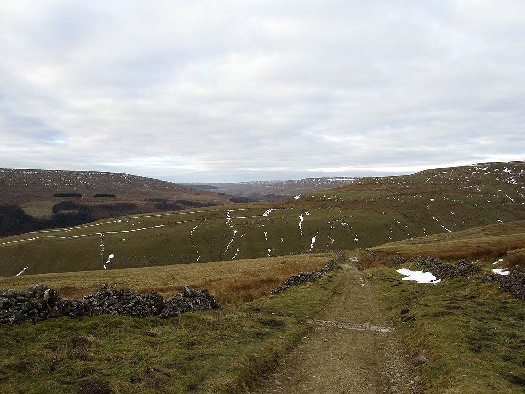
Looking back down Starbotton Cam Road
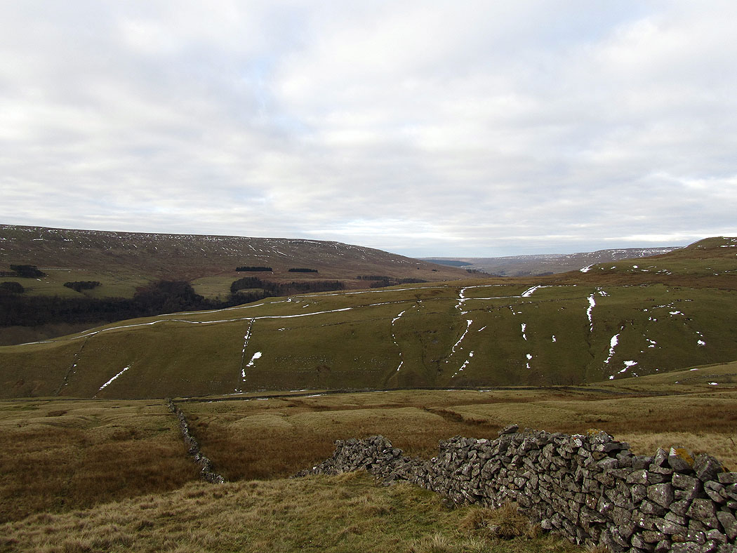
Looking back down into Wharfedale
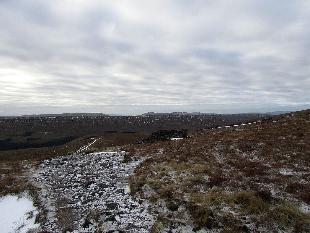
Higher up and Fountains Fell, Penyghent and Ingleborough come into view in the distance
Looking back down into Wharfedale
Great Whernside ahead
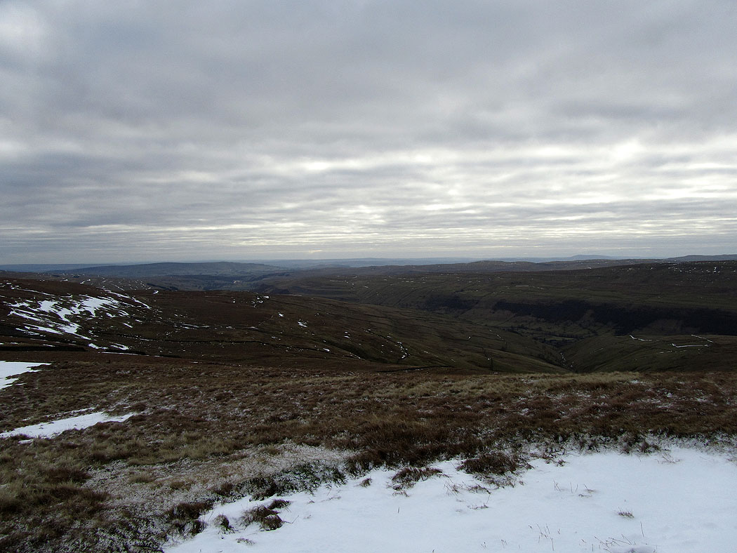
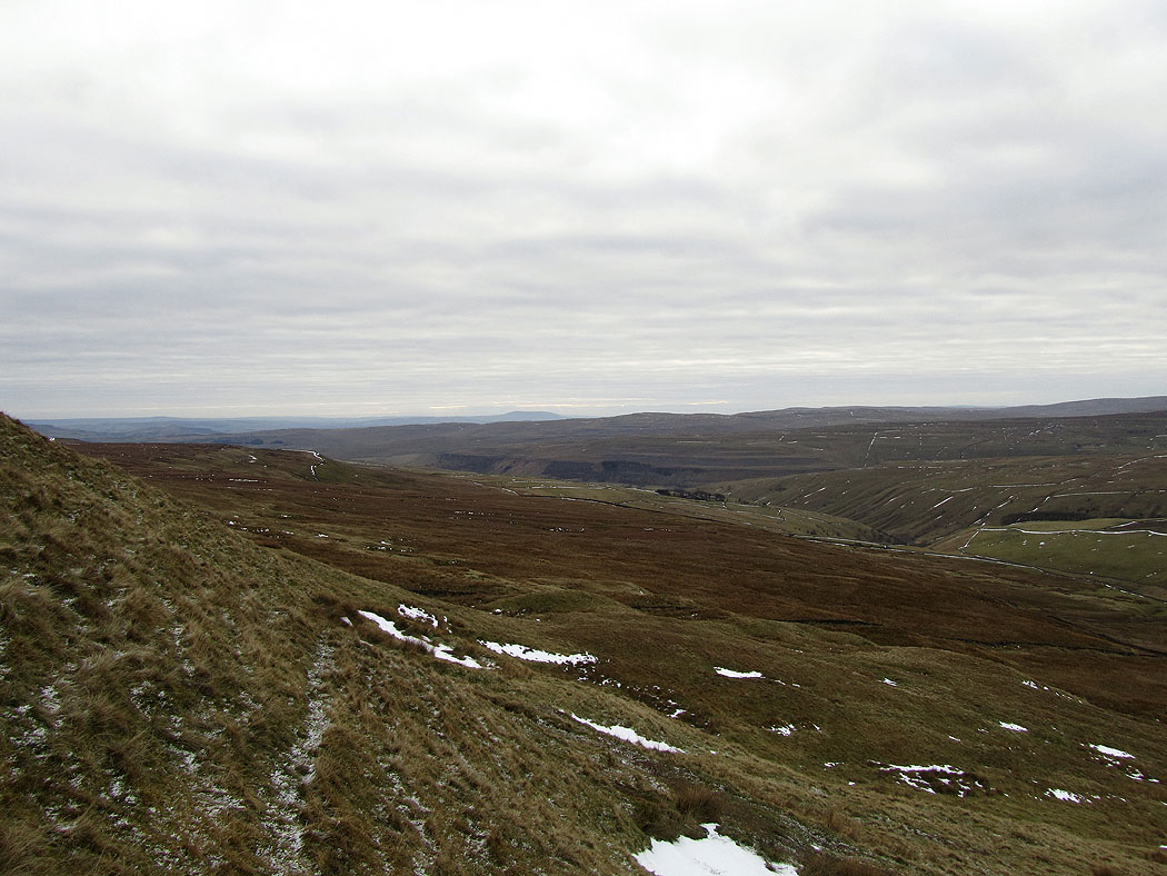
Looking down Wharfedale as I start the ascent of Great Whernside
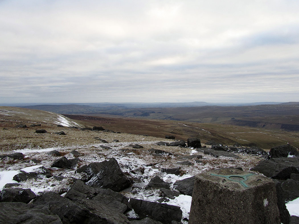
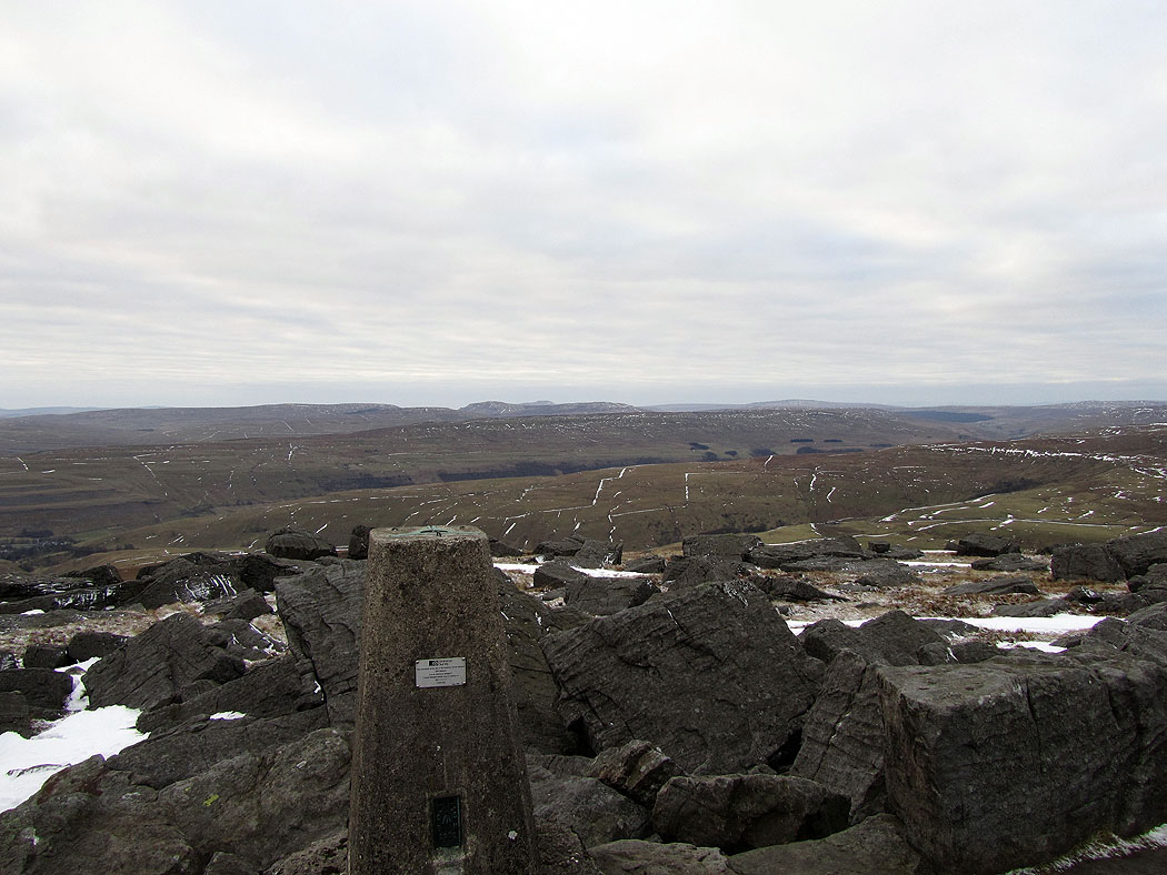
On the summit of Great Whernside
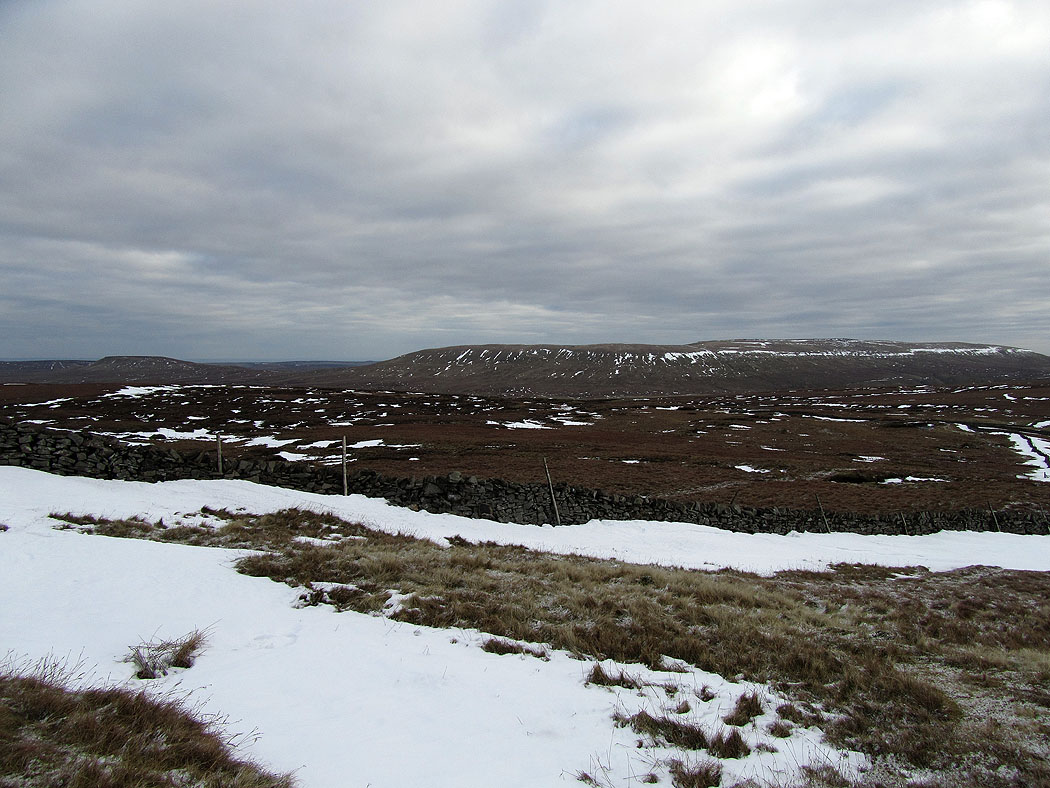
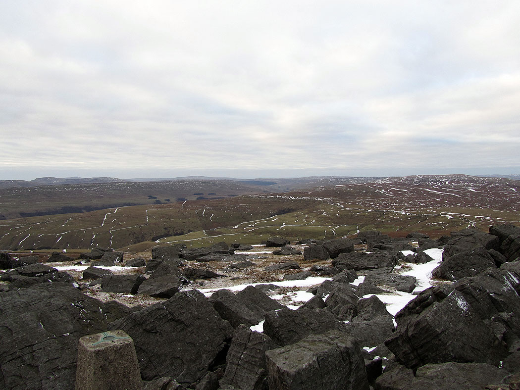
The view towards Fountains Fell, Penyghent, Birks Fell and Whernside
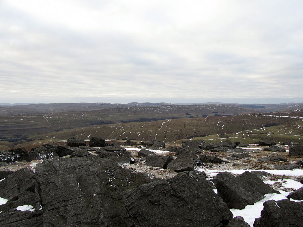
Buckden Pike is on the right of the picture
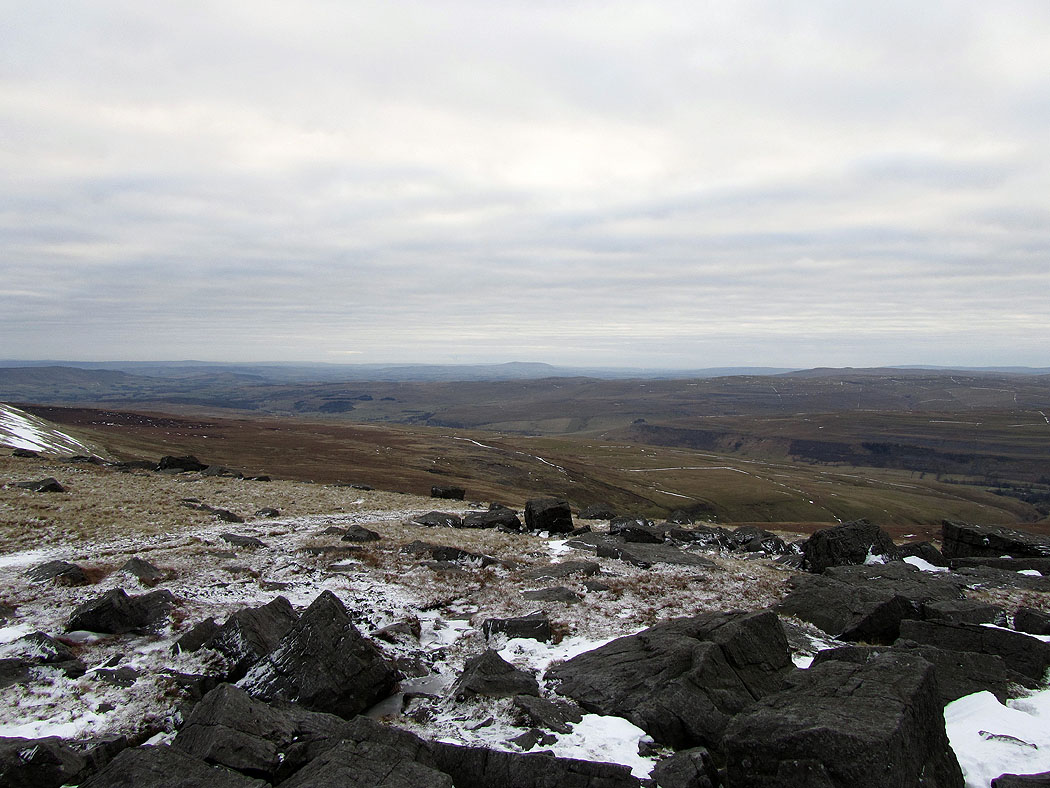
Another picture showing the view towards Penyghent
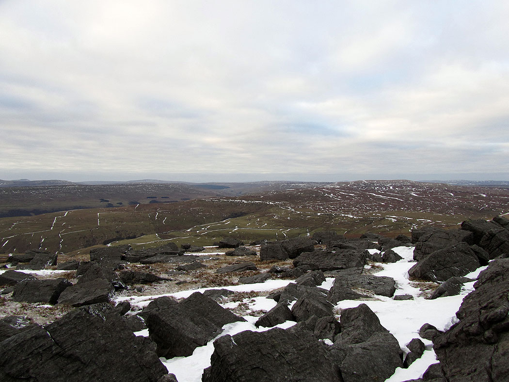
Pendle Hill is in the far distance in the middle of the picture
One last shot before making my way down to Kettlewell
