2nd Janaury 2015 - Baslow, Curbar & Froggatt Edges
Walk Details
Distance walked: 9.4 miles
Total ascent: 1316 ft
OS map used: OL24 - The Peak District, White Peak area
Time taken: 5 hrs
Route description: Baslow-Bar Road-Wellington's Monument-Baslow Edge-Curbar Edge-Froggatt Edge-A625-Hay Wood-Derwent Valley Heritage Way-Spooner Lane-Froggatt-Froggatt Bridge-DVH Way-New Bridge-Calver Weir-Curbar-Gorse Bank Farm-Gorsebank Lane-Baslow
I was keen to get out on my first walk of the new year but the decidedly inclement weather limited my options as to where I could go. High winds meant that I had keep to a relatively low level and showers were in the mix if I went north. In the end I decided to head for the eastern part of the Peak District and do a walk along some of the gritstone edges above the River Derwent between Grindleford and Baslow. There was a fierce wind on the edges so I kept away from the drops and despite a shower on Curbar Edge it was a nice day. Curbar Edge was popular, even today.
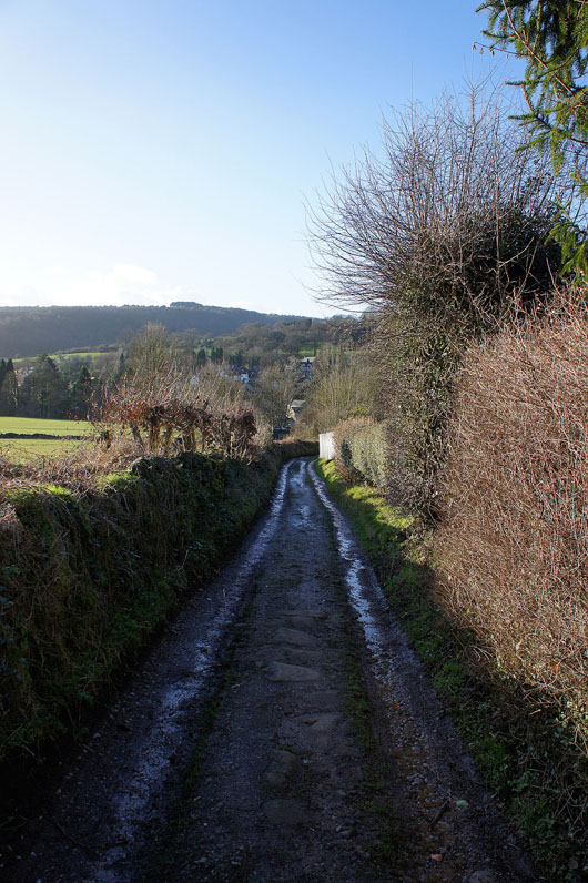
From the car park in Baslow I crossed the A619 and walked up Eaton Hill Road and then right up Bar Road. This becomes a bridleway as it heads uphill and then a path to reach the Wellington Monument. I then proceeded north along the tops of Baslow, Curbar and Froggatt Edges. At the end of Froggatt Edge I crossed the A625 to take the path into and down through Hay Wood towards Grindleford. When I reached the bridge over the Derwent into Grindleford I didn't cross it but took the path of the Derwent Valley Heritage Way south down the valley to Froggatt, across Froggatt Bridge and by the west bank of the Derwent to the A625 at New Bridge. I crossed the bridge and took the path by the Derwent past Calver Weir to reach Curbar. I then walked uphill into the village before heading south down a drive to Lane Farm and then a field path to Gorse Bank Farm. The track of Gorsebank Lane brought me back to Bar Road and Baslow.
Total ascent: 1316 ft
OS map used: OL24 - The Peak District, White Peak area
Time taken: 5 hrs
Route description: Baslow-Bar Road-Wellington's Monument-Baslow Edge-Curbar Edge-Froggatt Edge-A625-Hay Wood-Derwent Valley Heritage Way-Spooner Lane-Froggatt-Froggatt Bridge-DVH Way-New Bridge-Calver Weir-Curbar-Gorse Bank Farm-Gorsebank Lane-Baslow
I was keen to get out on my first walk of the new year but the decidedly inclement weather limited my options as to where I could go. High winds meant that I had keep to a relatively low level and showers were in the mix if I went north. In the end I decided to head for the eastern part of the Peak District and do a walk along some of the gritstone edges above the River Derwent between Grindleford and Baslow. There was a fierce wind on the edges so I kept away from the drops and despite a shower on Curbar Edge it was a nice day. Curbar Edge was popular, even today.
From the car park in Baslow I crossed the A619 and walked up Eaton Hill Road and then right up Bar Road. This becomes a bridleway as it heads uphill and then a path to reach the Wellington Monument. I then proceeded north along the tops of Baslow, Curbar and Froggatt Edges. At the end of Froggatt Edge I crossed the A625 to take the path into and down through Hay Wood towards Grindleford. When I reached the bridge over the Derwent into Grindleford I didn't cross it but took the path of the Derwent Valley Heritage Way south down the valley to Froggatt, across Froggatt Bridge and by the west bank of the Derwent to the A625 at New Bridge. I crossed the bridge and took the path by the Derwent past Calver Weir to reach Curbar. I then walked uphill into the village before heading south down a drive to Lane Farm and then a field path to Gorse Bank Farm. The track of Gorsebank Lane brought me back to Bar Road and Baslow.
Route map
© Crown copyright. All rights reserved. License number PU 100034184.
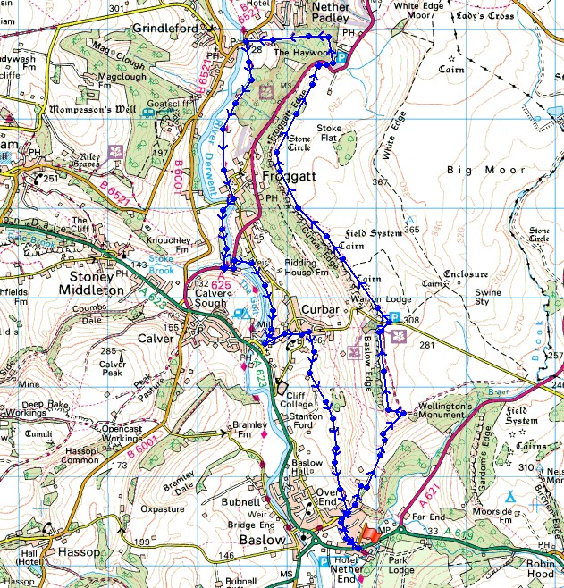
On the path up to Baslow Edge
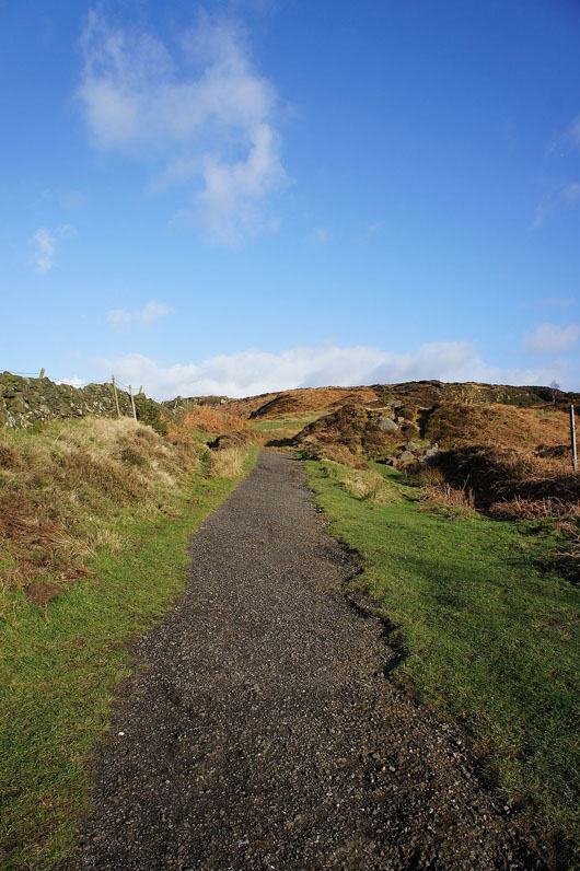
Wellington's Monument
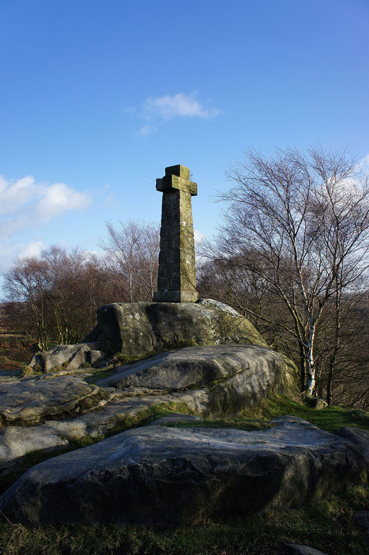
The Eagle Stone. I'd have missed it out if I'd gone onto Baslow Edge straight away.
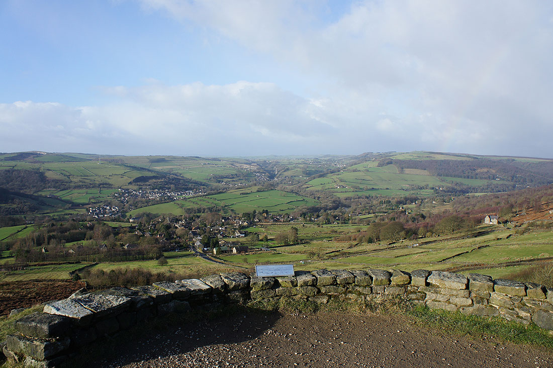
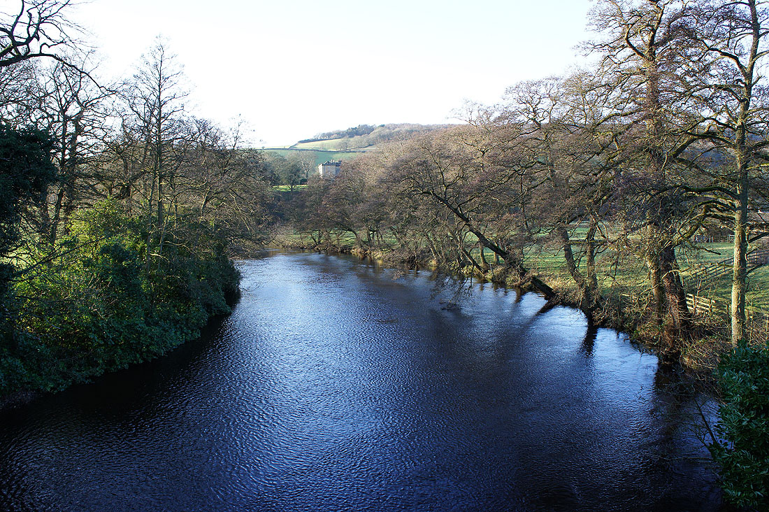
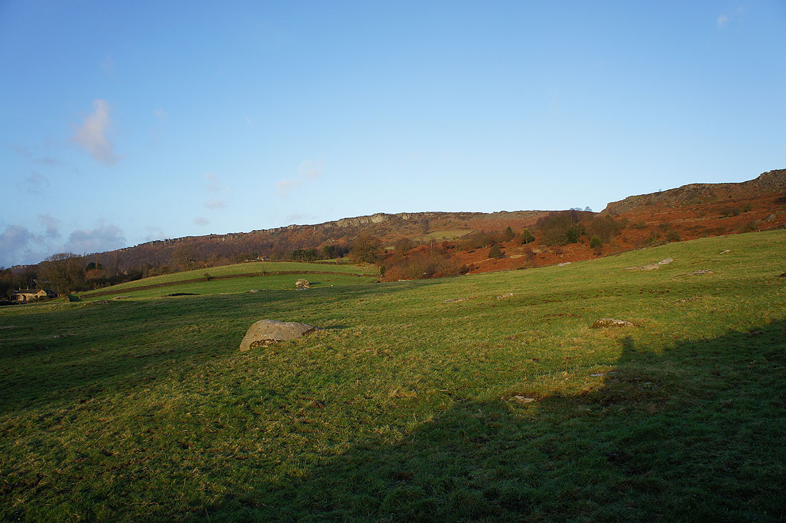
At the start of Baslow Edge. Looking up the Derwent valley and to Curbar Edge.
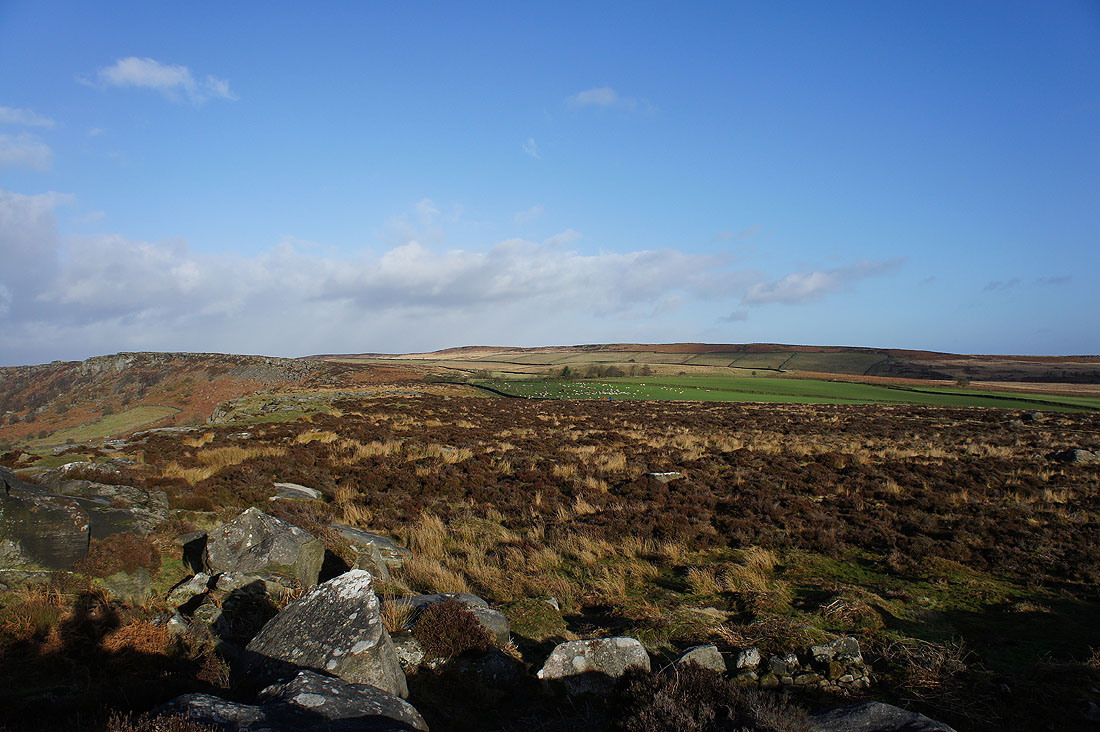
The moorland of White Edge rises to the northeast
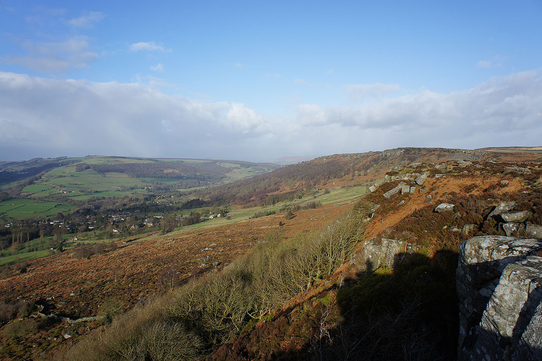
At the viewpoint at the northern end of Baslow Edge and it's a real struggle to keep still because of the wind. Looking up Middleton Dale with the village of Curbar below and Calver further away.
At the start of Curbar Edge
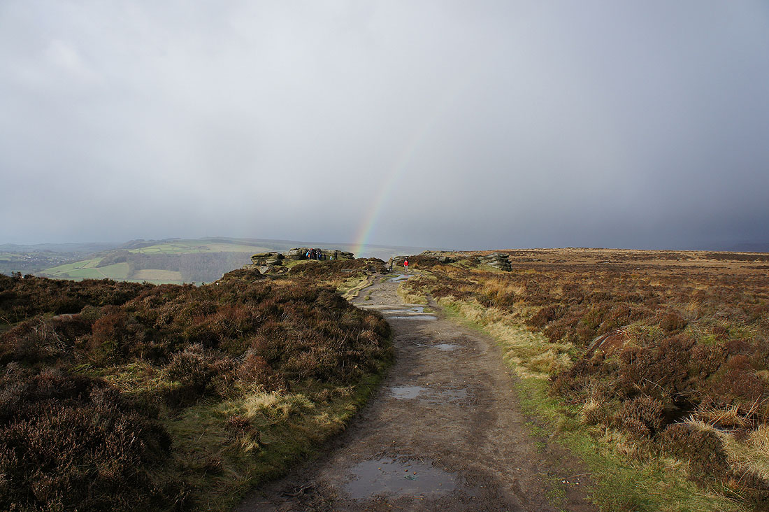
The weather unexpectedly turns a bit wild as I head along Curbar Edge
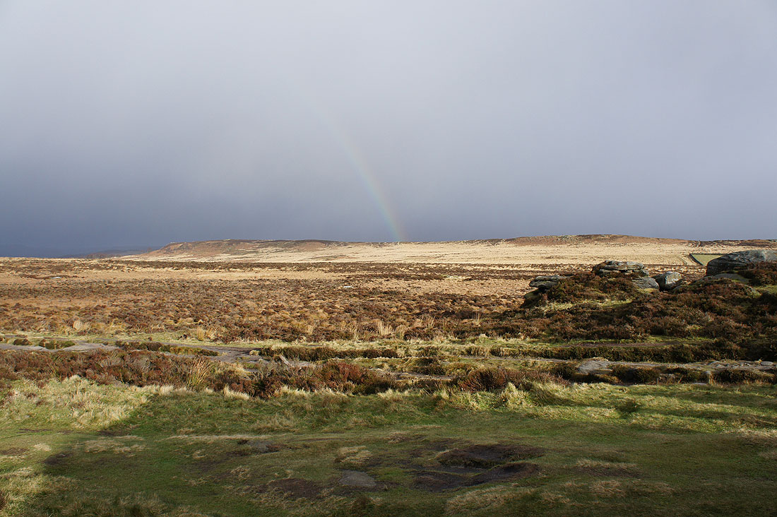
Rainbow over White Edge
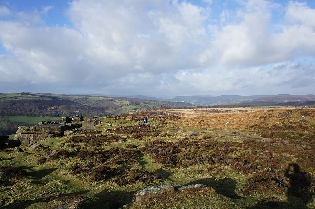
Looking down the Derwent valley
and across the Derwent valley and up Middleton Dale
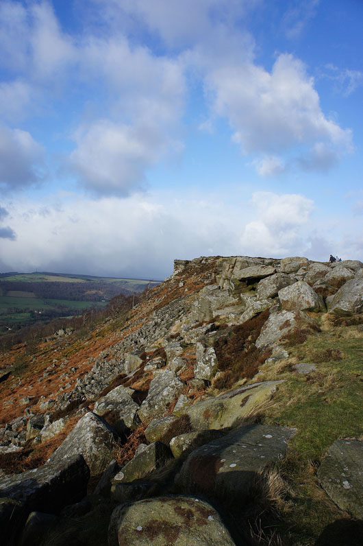
Great walking along Curbar Edge..
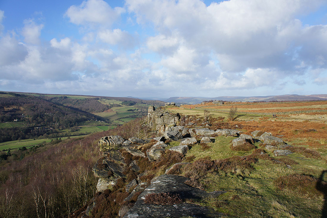
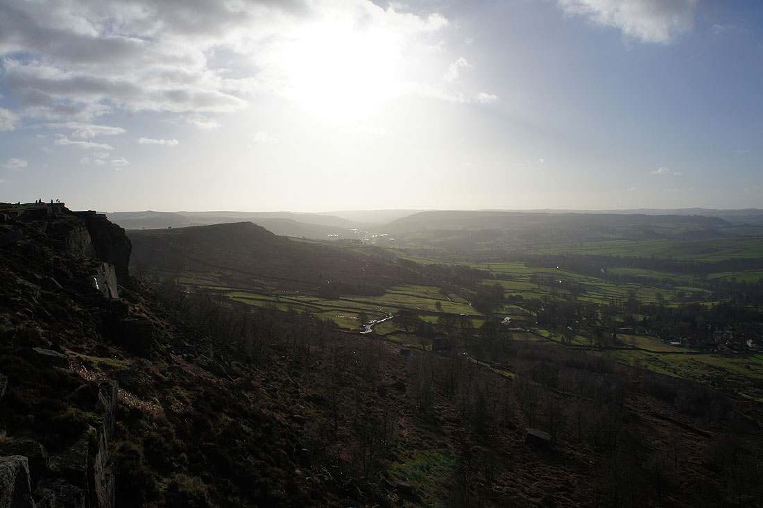
Woodland encroaches on the top of Froggatt Edge but there are still opportunities for a view up the Derwent valley towards Bamford Edge and Stanage Edge. That's the village of Grindleford on the left.
|
|
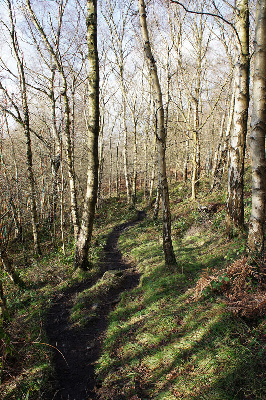
Heading down through Hay Wood and into Grindleford
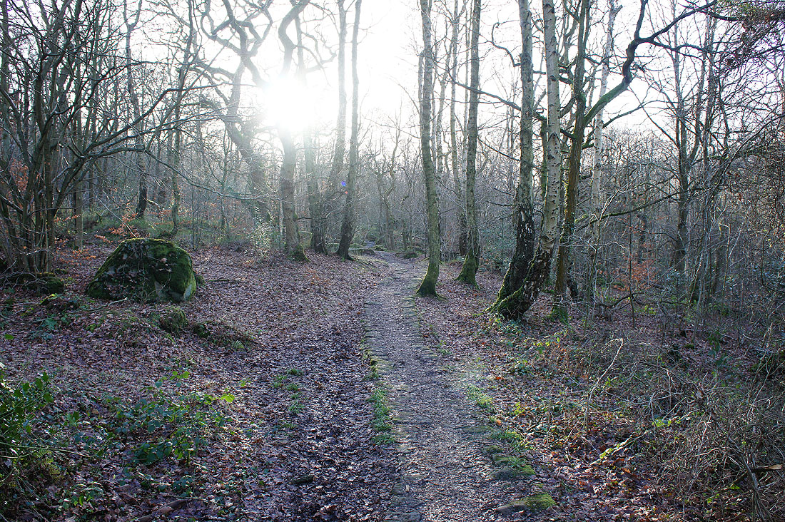
I don't cross the Derwent into Grindleford but take a path, the Derwent Valley Heritage (DVH) Way, south down the valley. Starting with going through the base of the National Trust's Hay Wood.
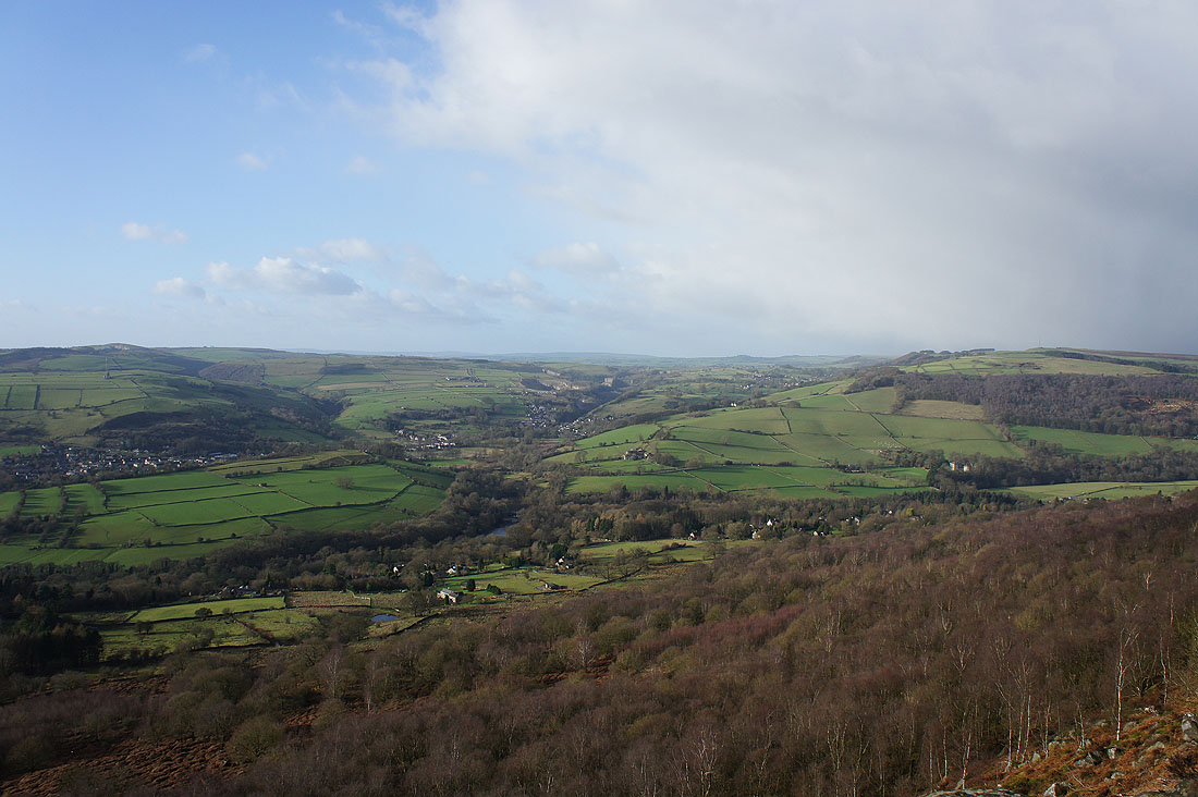
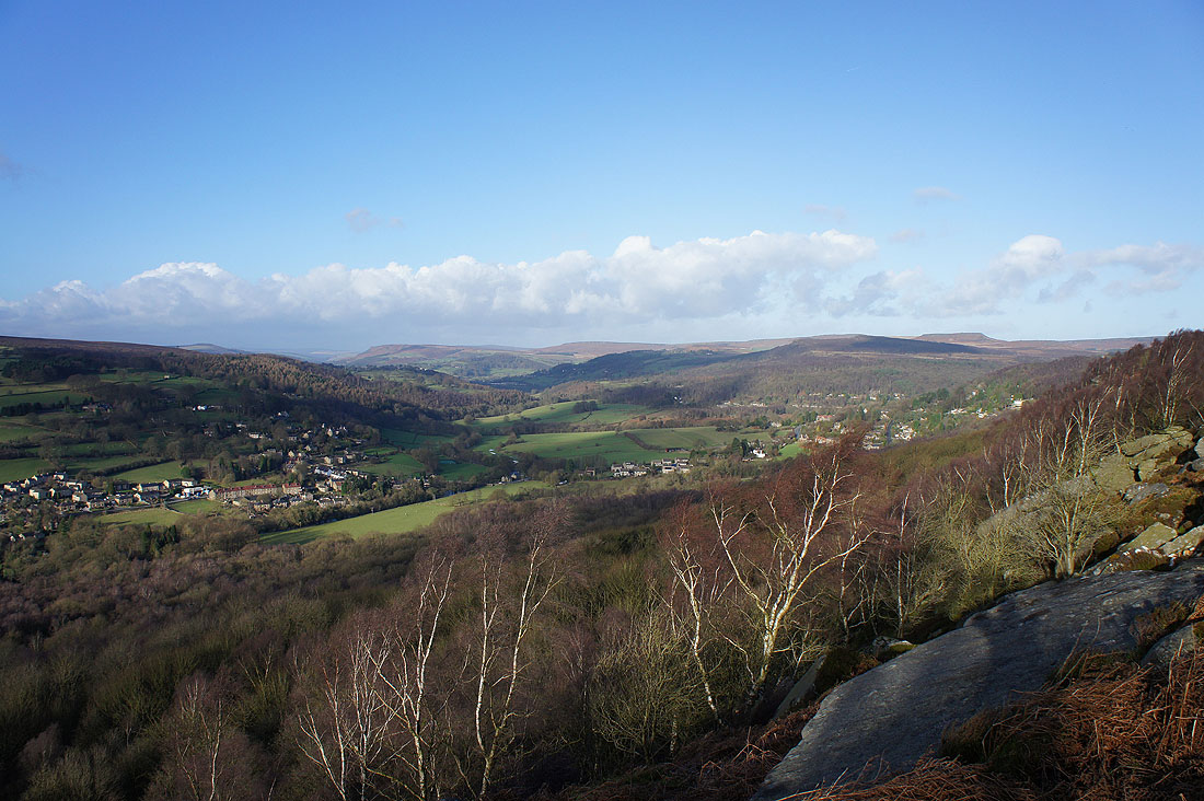
Looking back up the valley as I reach Froggatt
Froggatt below Froggatt Edge
Crossing the Derwent at Froggatt Bridge
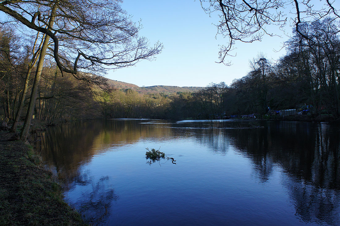
Back on the east bank of the Derwent with Calver Weir just ahead. That's Baslow Edge in the distance.
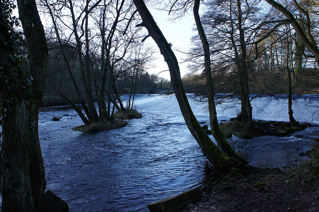
The impressive S-shaped Calver Weir. Unfortunately I couldn't get a good photo of it.
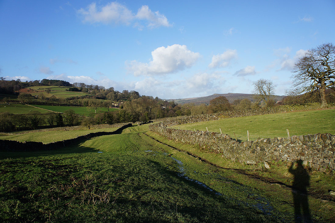
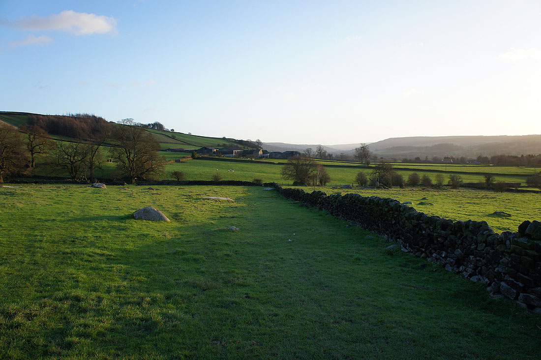
After walking up into Curbar I'm on the final stretch across the fields below Baslow Edge
Curbar Edge behind me
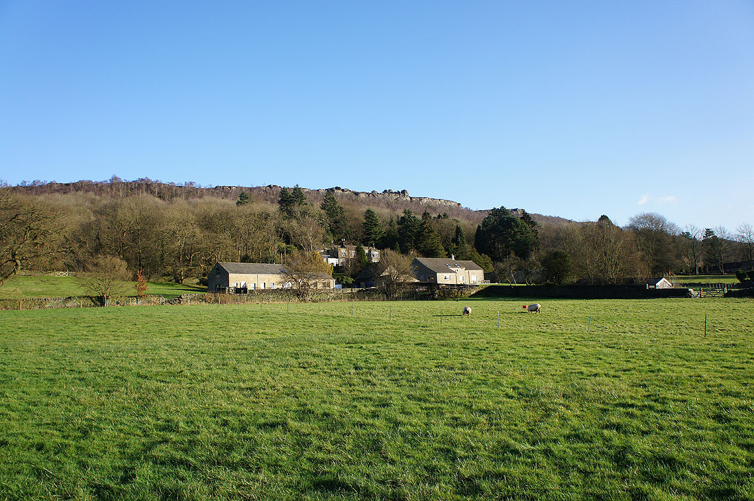
Gorse Bank Farm ahead. Not far to go.
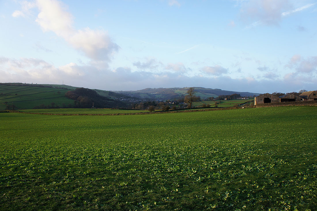
A last chance to look up the valley towards Calver as I head down Gorsebank Lane and..
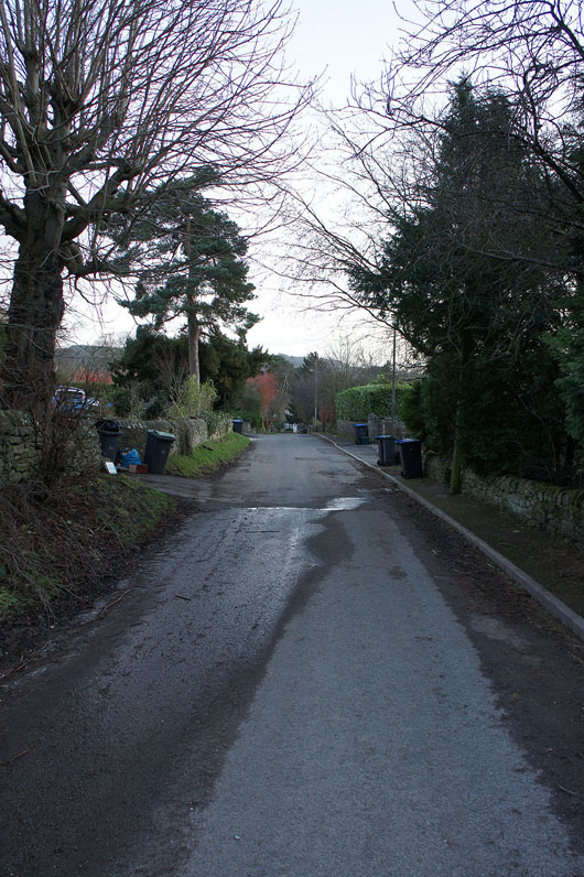
..back into Baslow