2nd January 2023 - Great Whernside
Walk Details
Distance walked: 9.1 miles
Total ascent: 1967 ft
OS map used: OL30 - Yorkshire Dales, Northern & Central areas
Time taken: 6 hrs
Route description: Kettlewell-Dales Way-Starbotton-Starbotton Cam Road-Starbotton Road-Hunters Sleets-Blackfell Top-Great Whernside-Hag Dyke-Kettlewell
For the last day of the Christmas and New Year break I decided to head to Kettlewell for a walk up Great Whernside, since I missed out on getting a view from its summit several weeks ago, doing a route that I last did in January 2017. On that particular day there was a cover of snow on the ground and it turned out to be one of those that live long in the memory. No snow today, but the forecast proved to be accurate with the weather turning colder overnight so that I had more or less wall-to-wall blue skies and sunshine, and with excellent visibility I enjoyed fantastic all round views from the summit of Great Whernside. Wanting to be up there as the sun was starting to set I walked to the south top and Stone Head Crag and back to make the most of the time I had.
From the car park in Kettlewell I set off by crossing the bridge over the River Wharfe and taking the trail of the Dales Way north towards Starbotton. When the trail reached the bridge over the river I crossed it and followed the bridleway into Starbotton. I then crossed the main road up the valley and walked through the village to reach the track and bridleway of Starbotton Cam Road. I followed this uphill and then across the hillside to the bridleway of Starbotton Road that took me to Hunters Sleets and the Kettlewell to Coverdale road. After crossing the road I took the path up the slopes of Great Whernside to Black Dike End, Blackfell Top and finally the trig point and summit. My route back to Kettlewell took me downhill past the Hag Dyke scout hostel and along the path above Dowber Gill Beck.
Route map
© Crown copyright. All rights reserved. License number PU 100034184.
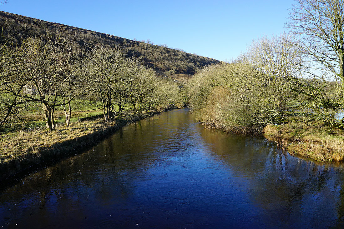
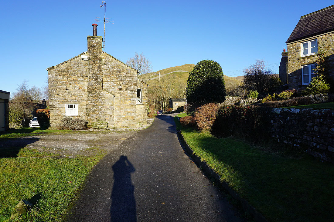
After crossing the bridge over the River Wharfe from Kettlewell, I take the trail of the Dales Way
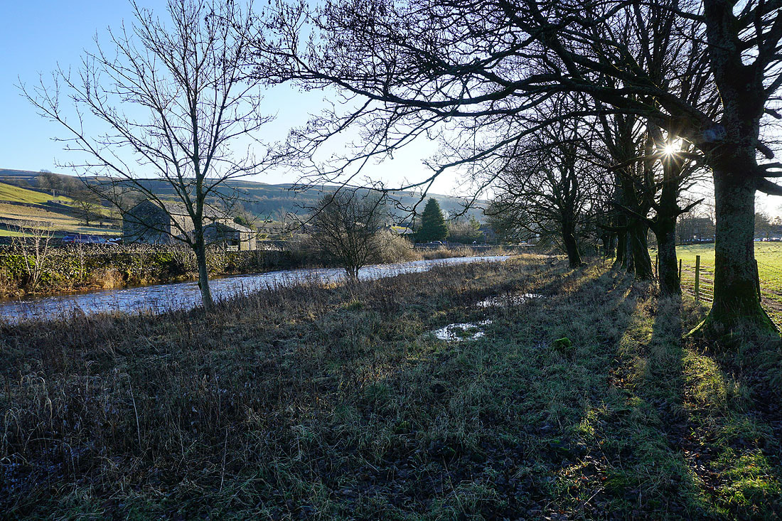
Looking back to Kettlewell
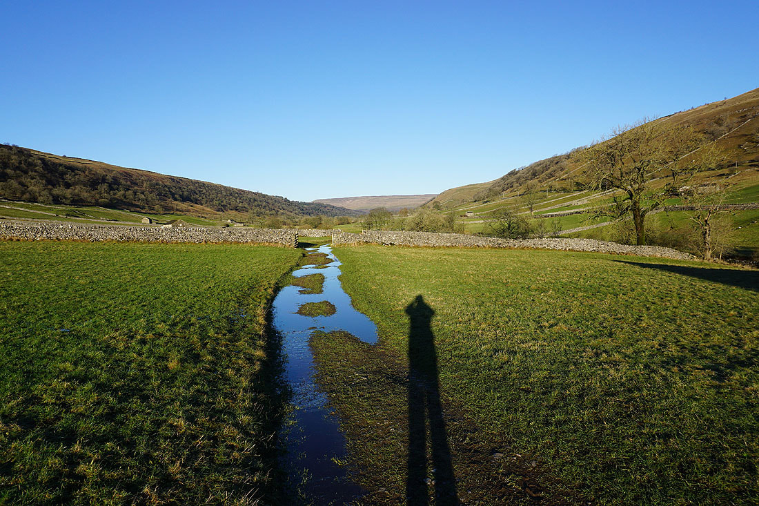
Following the Dales Way north towards Starbotton.....
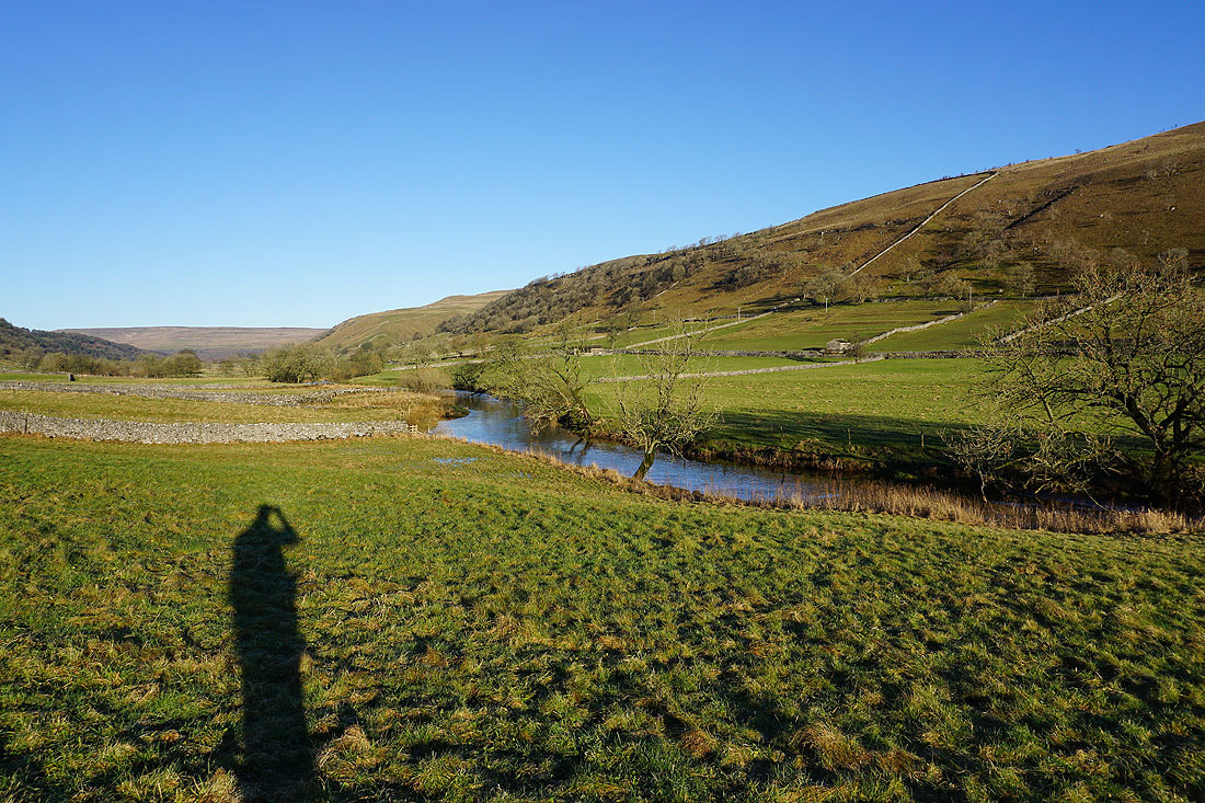
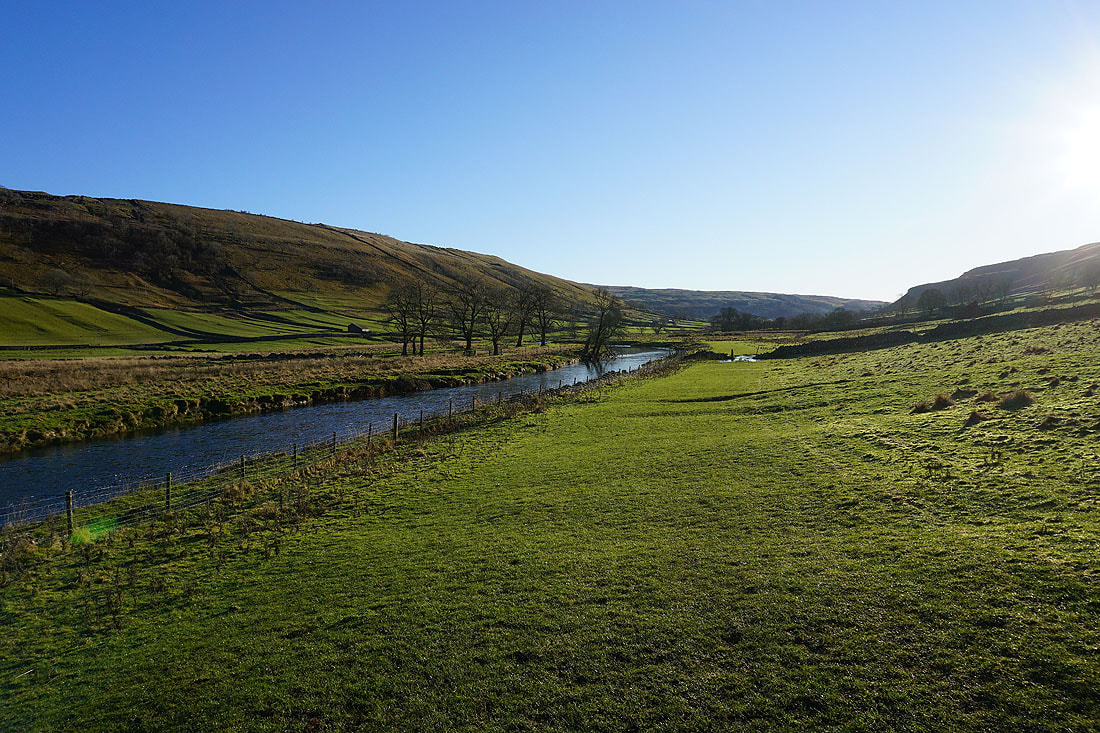
Looking back down Wharfedale
I can now make out Starbotton on the other side of the valley
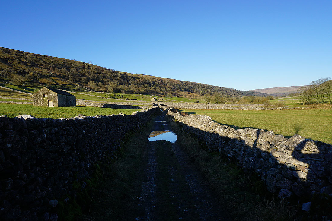
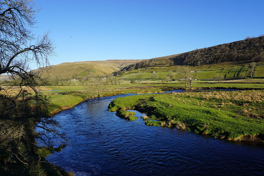
Crossing the River Wharfe..
..to head for Starbotton
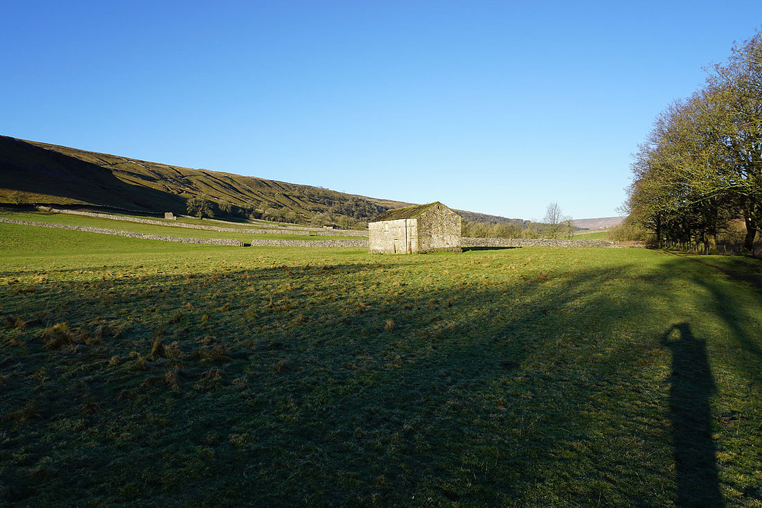
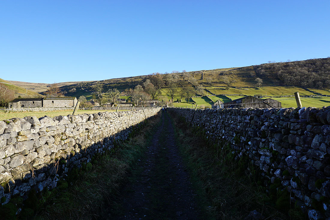
Making my way through the hamlet of Starbotton
Looking back down on the roofs of Starbotton as I take the bridleway of Starbotton Cam Road
Blue skies as I head uphill..
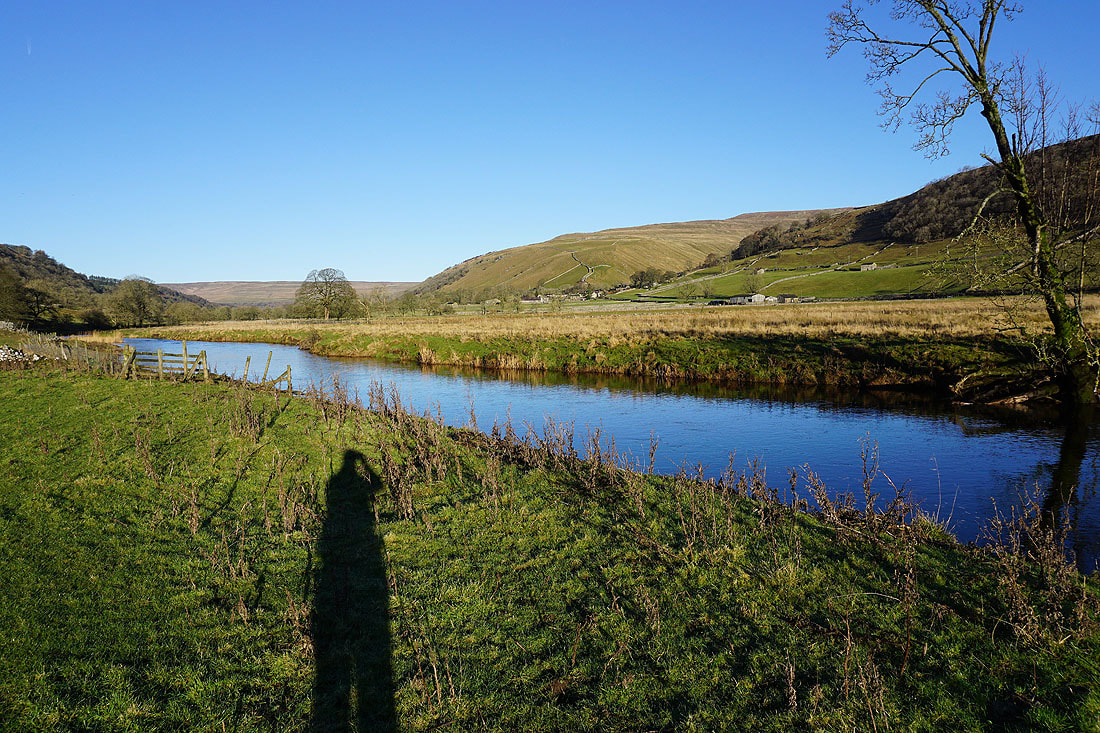
I get a great view up Wharfedale from the bridleway of Starbotton Road
My ultimate destination of Great Whernside comes into view
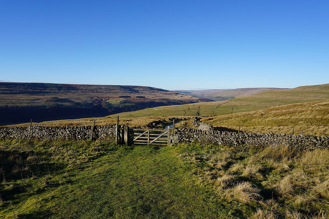
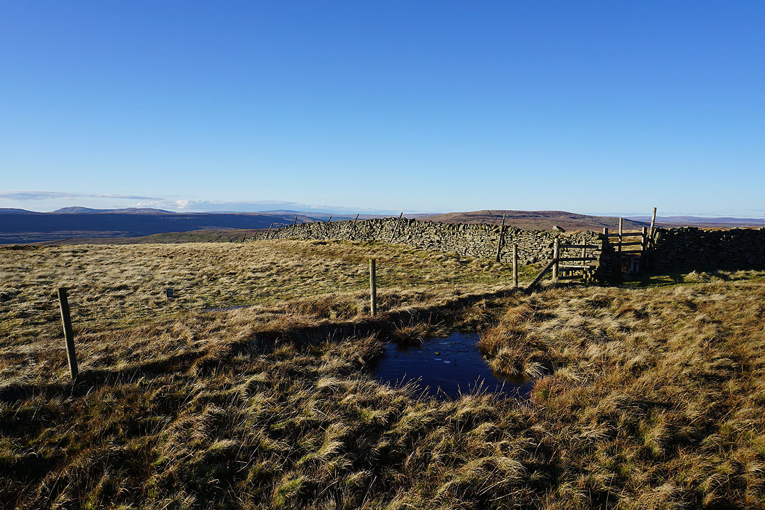
Starbotton Road meets the bridleway of Top Mere Road that has come up from Kettlewell
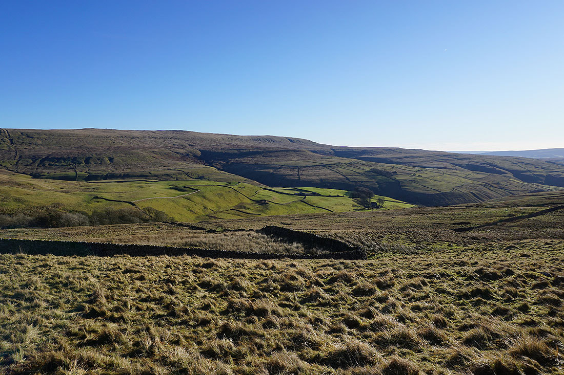
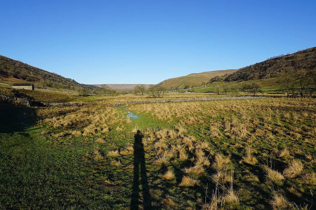
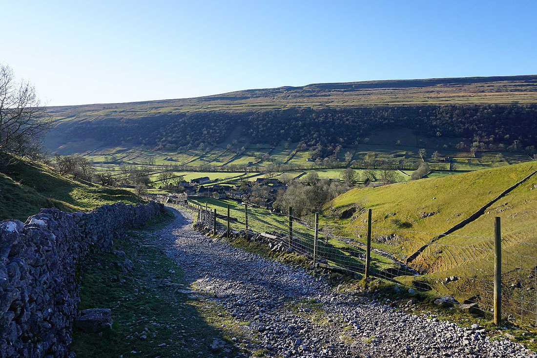
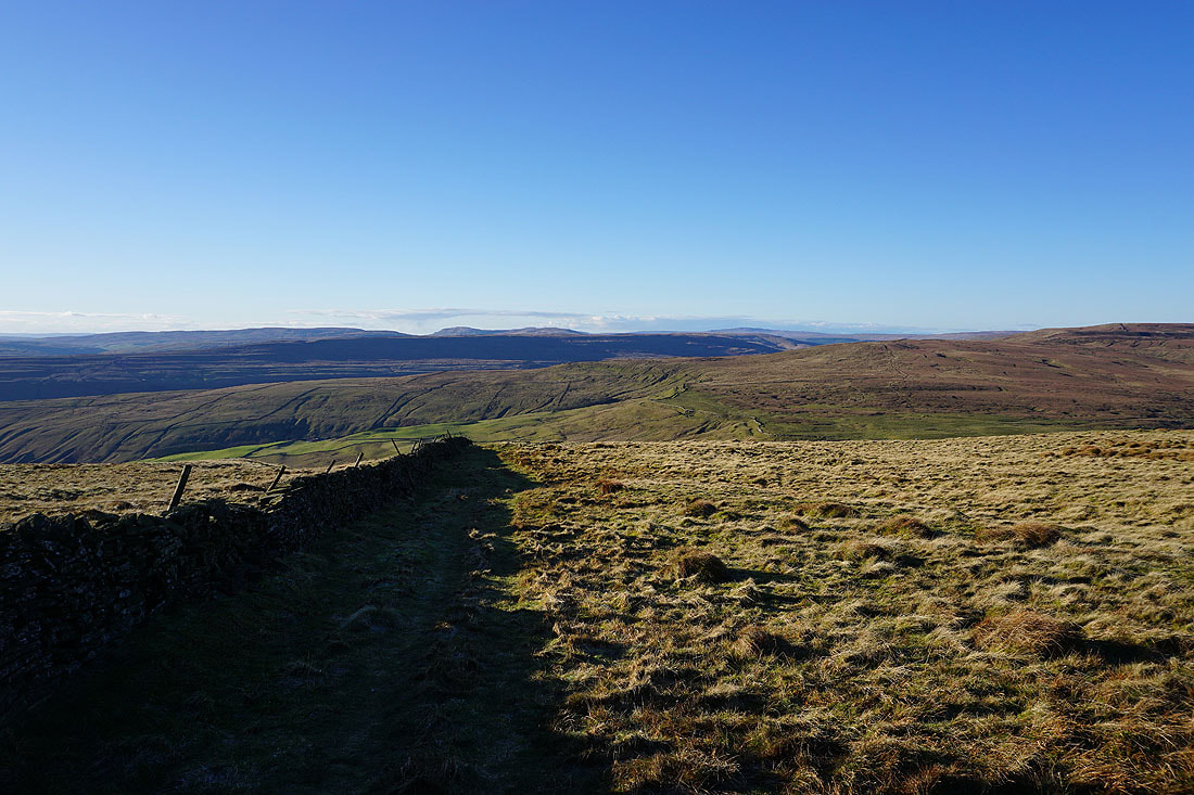
Looking across to the western slopes of Great Whernside, which will be my route back down to Kettlewell..
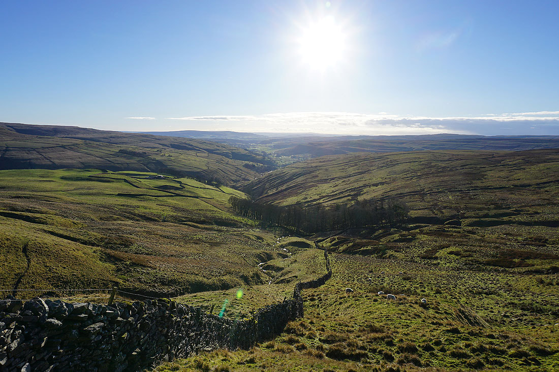
..and down the valley of Cam Gill and Wharfedale towards Barden Moor
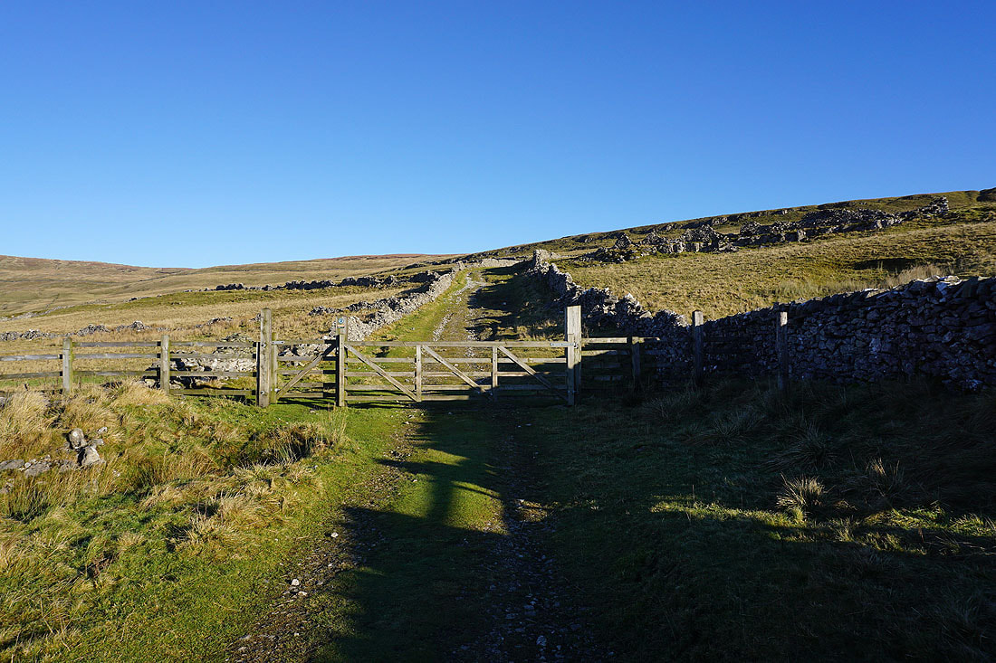
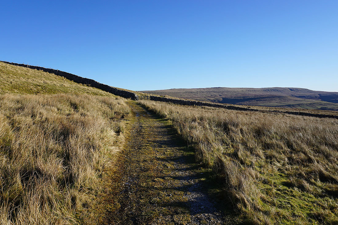
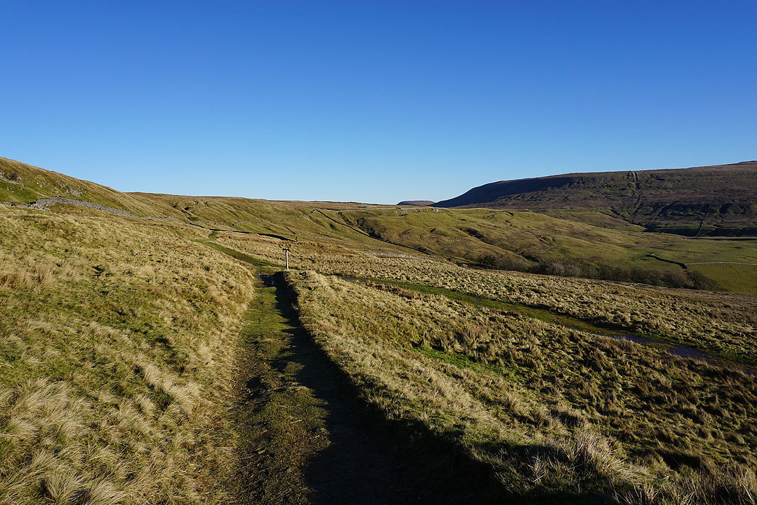
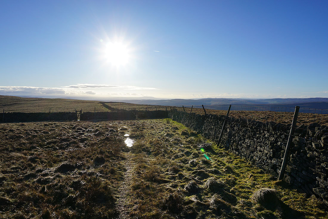
Crossing Hunters Sleets to the Kettlewell to Coverdale road
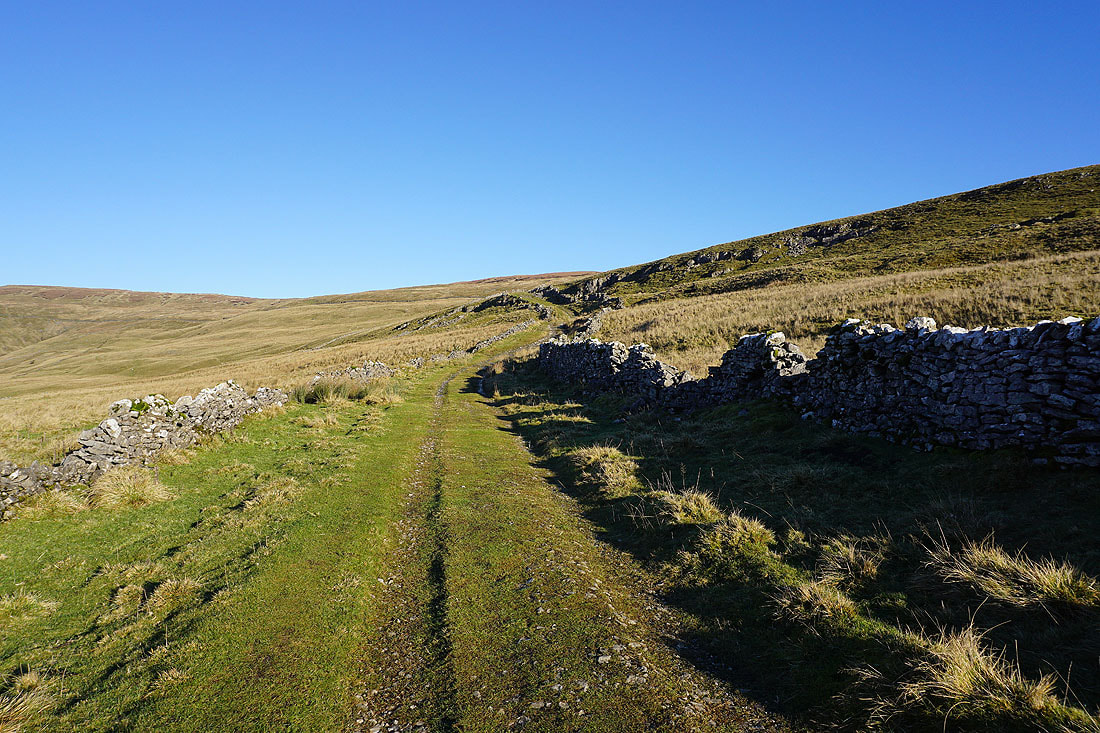
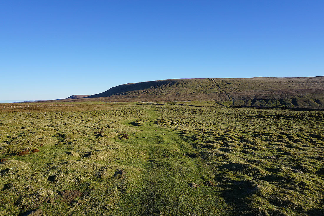
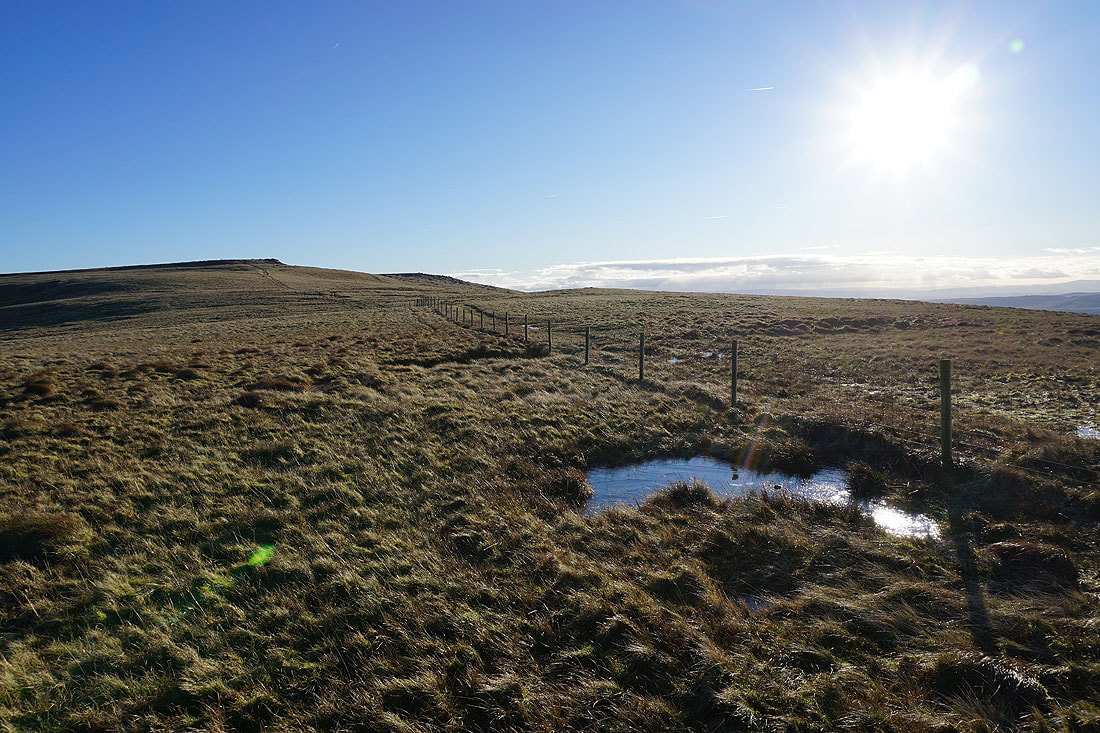
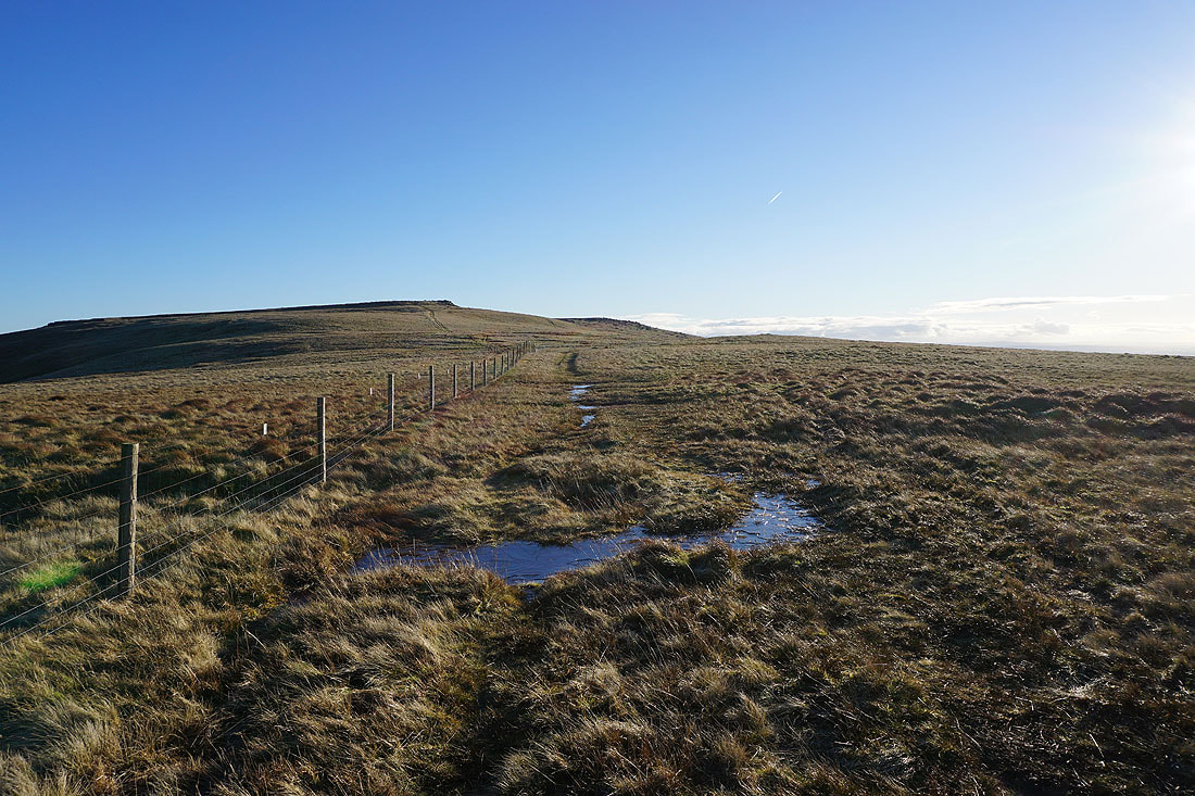
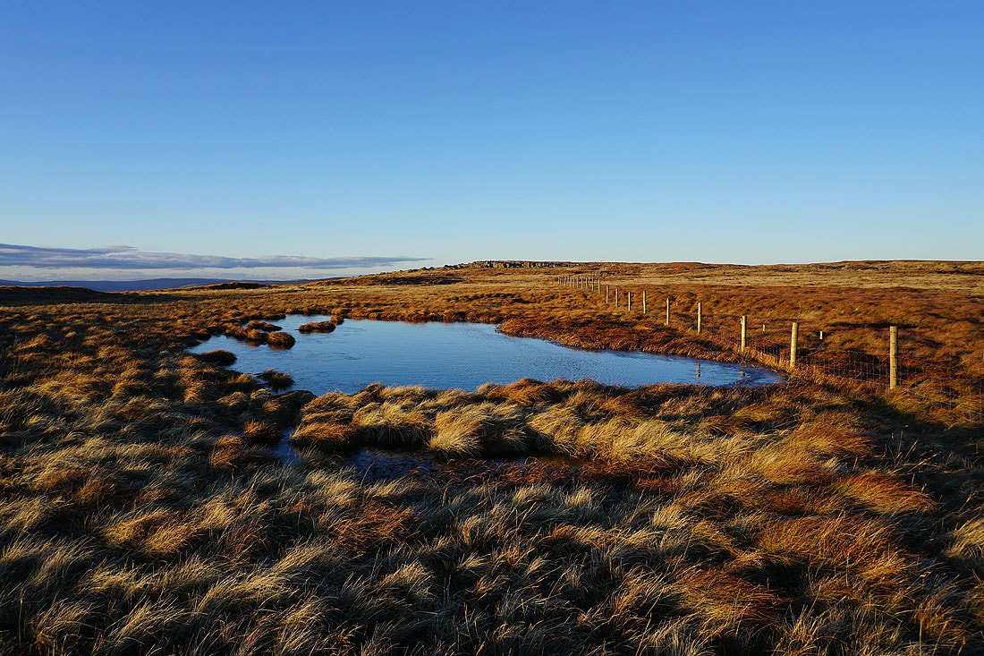
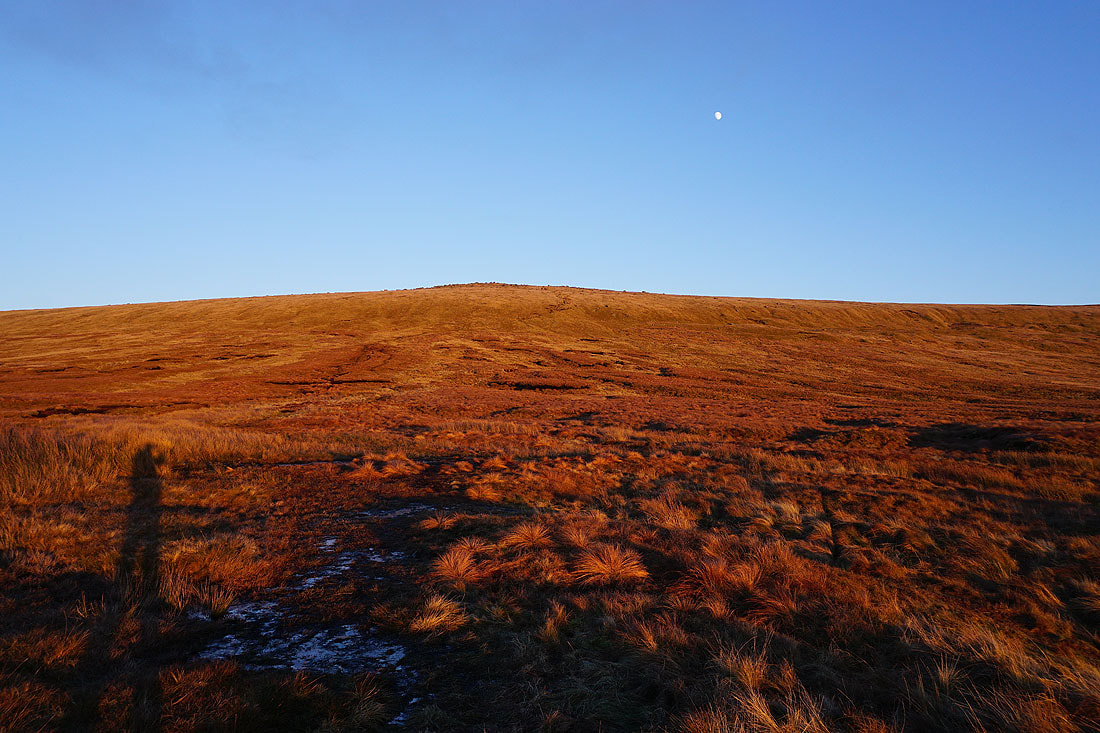
The usually boggy ground is at least partially frozen as I head up Great Whernside
Looking back across Hunters Sleets to Buckden Pike as I make my way up onto Great Whernside
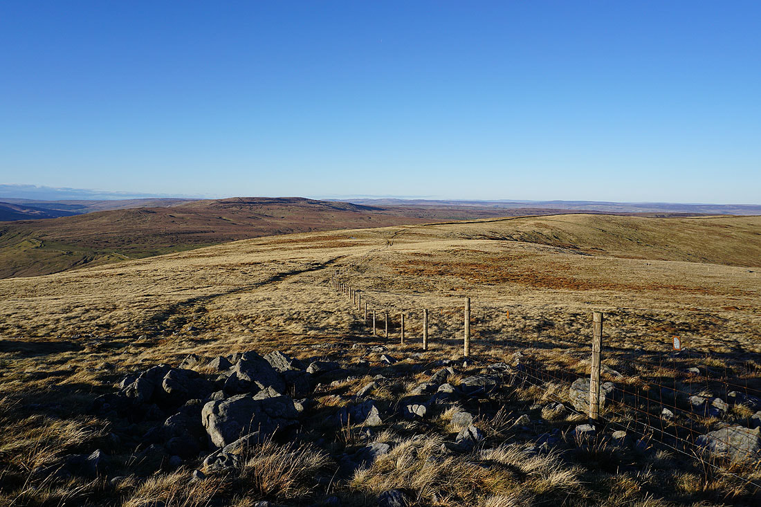
Fountains Fell, Penyghent, Plover Hill, Birks Fell and Whernside in the distance as I head up to Black Dike End
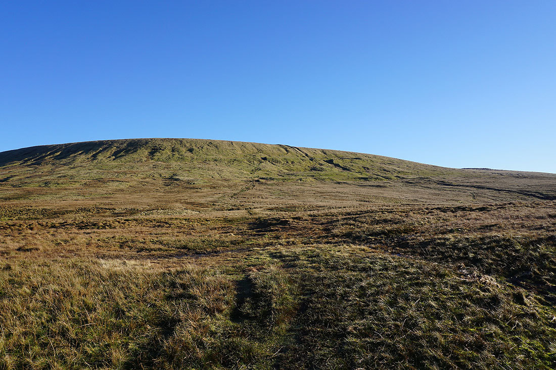
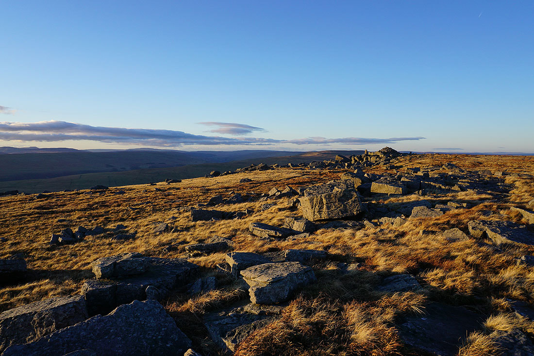
Looking south to Blackfell Top
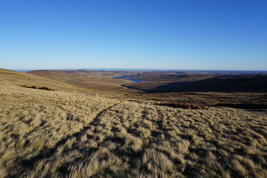
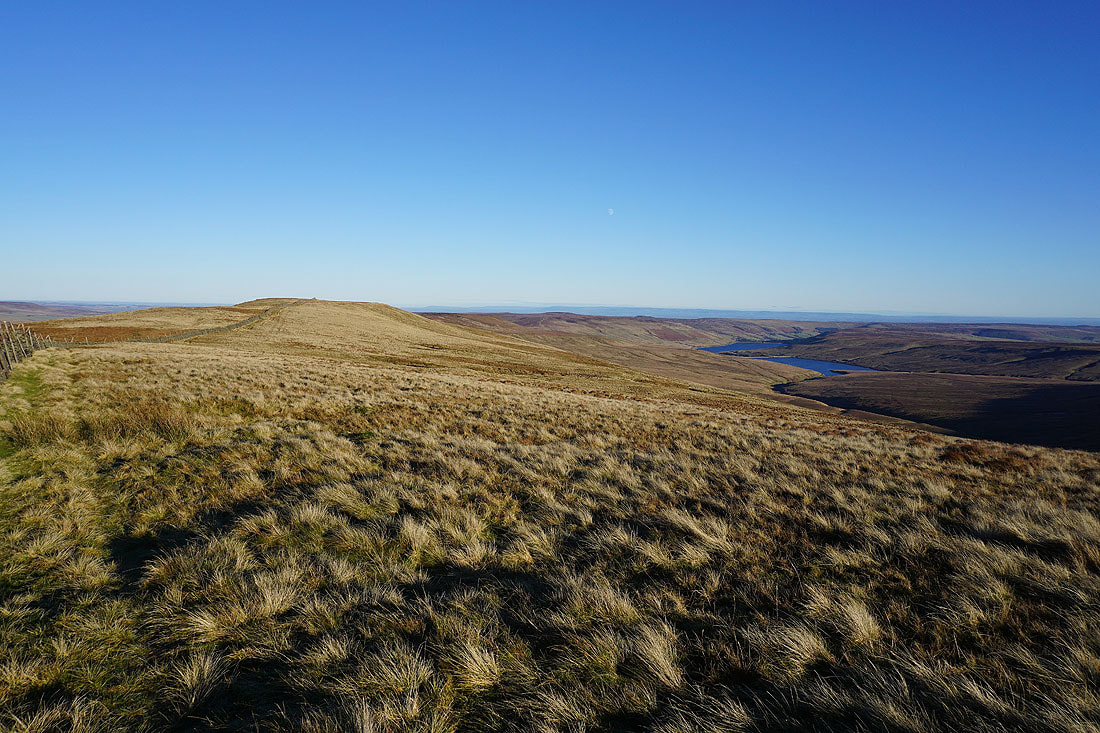
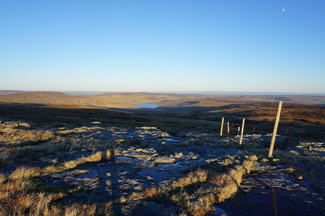
Angram Reservoir, Scar House Reservoir, and Nidderdale
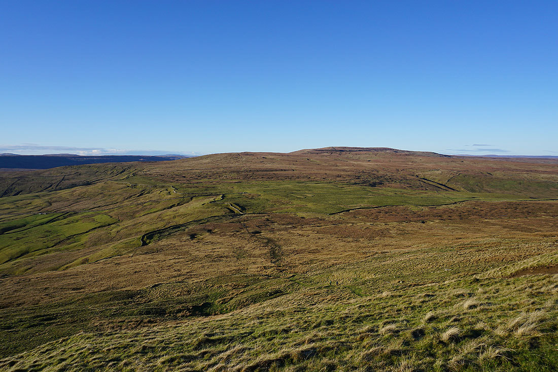
Penyghent, Plover Hill, Birks Fell, Whernside and Buckden Pike from Black Dike End
Before heading south to the summit I take a short walk north along the moorland ridge to Nidd Head, to take in the view east across the moorland of Carle Fell and Great Haw on the northern side of Nidderdale
Pendle Hill in the distance from Nidd Head
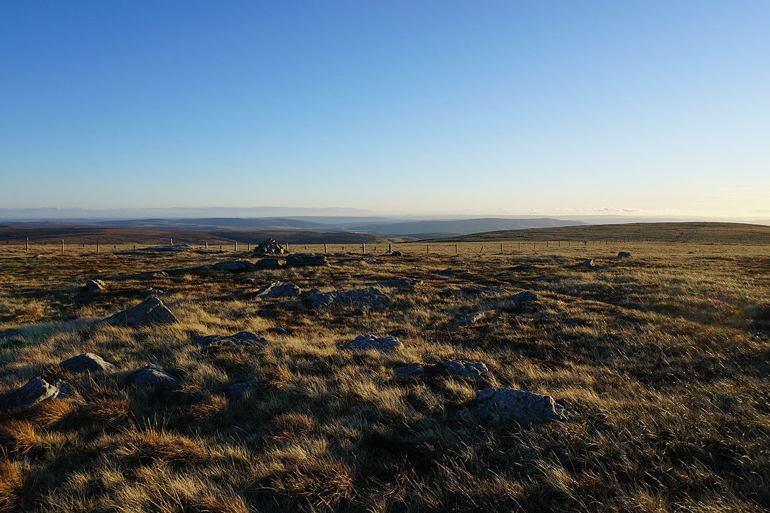
Heading south to Blackfell Top
Buckden Pike from Blackfell Top
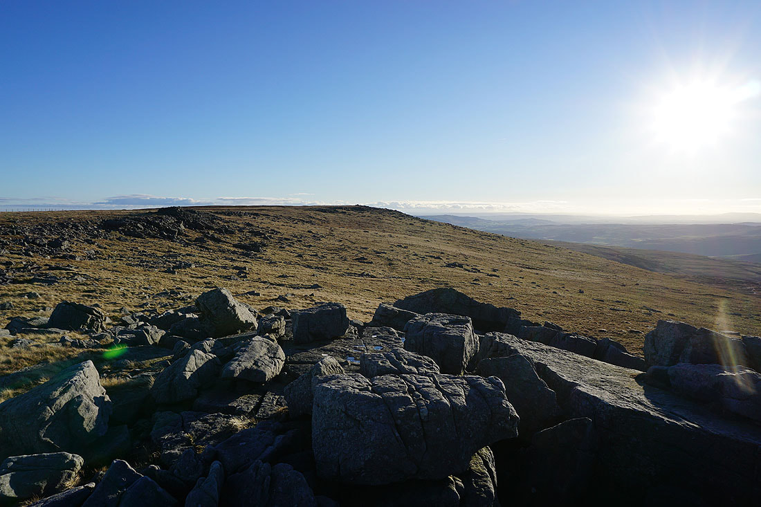
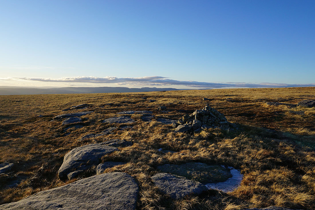
Looking south to the summit of Great Whernside
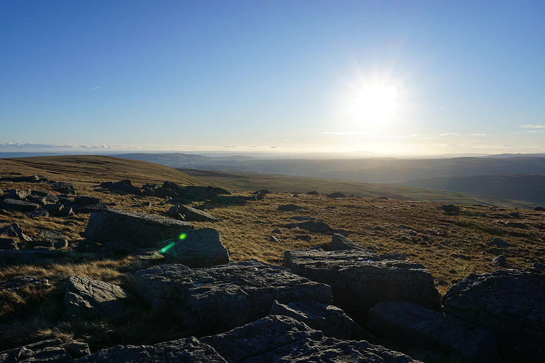
and west to Fountains Fell, Penyghent, Ingleborough, Plover Hill, Birks Fell and Whernside
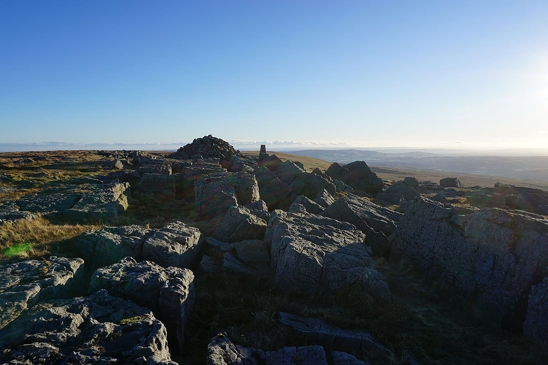
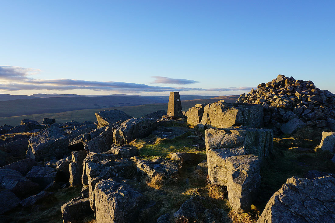
It's a beautiful winter's afternoon as I reach the trig point and summit of Great Whernside..
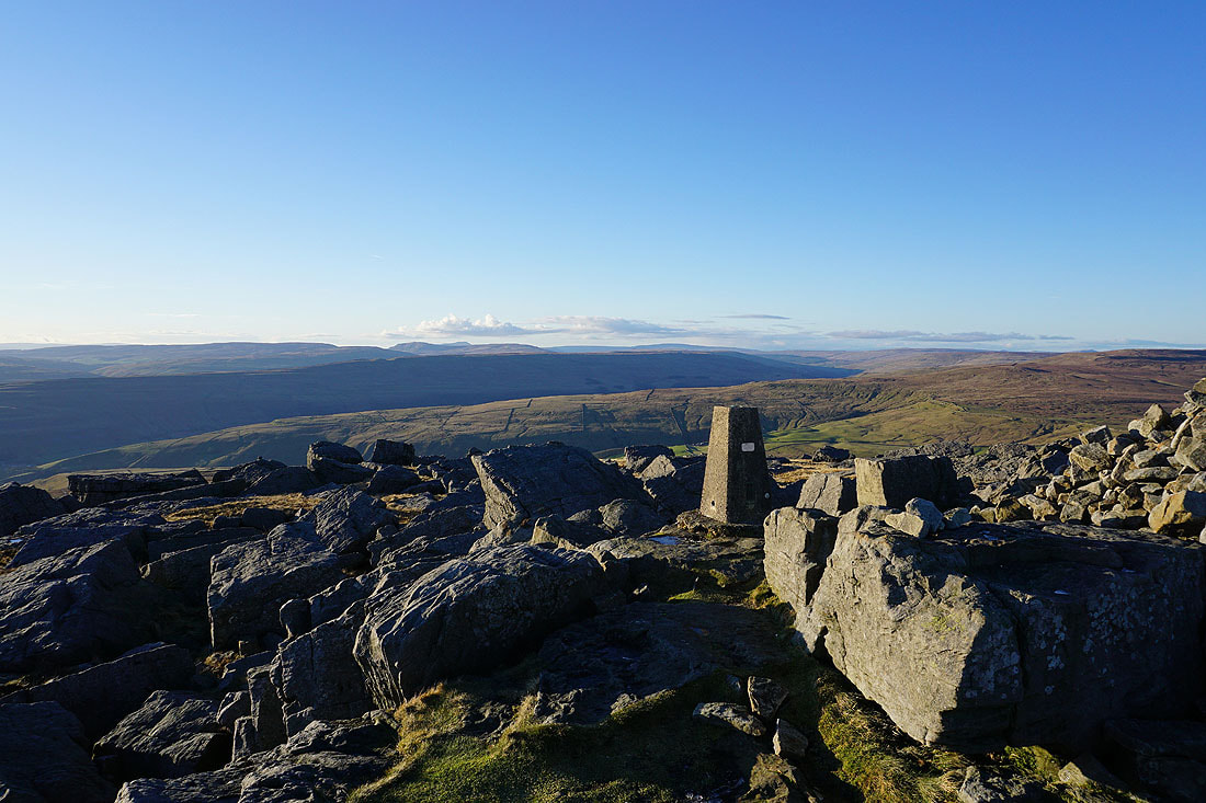
Looking west to Fountains Fell, Penyghent, Ingleborough, Plover Hill, Birks Fell and Whernside
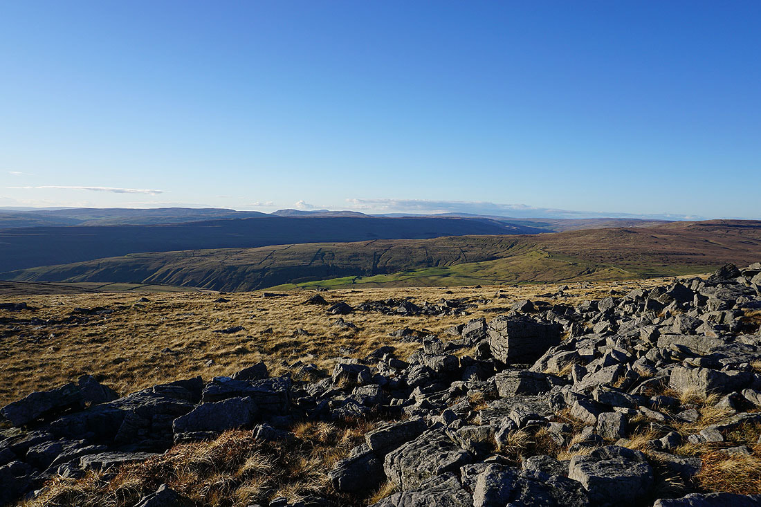
and down Wharfedale to Barden Moor, Threshfield Moor and Kilnsey Moor
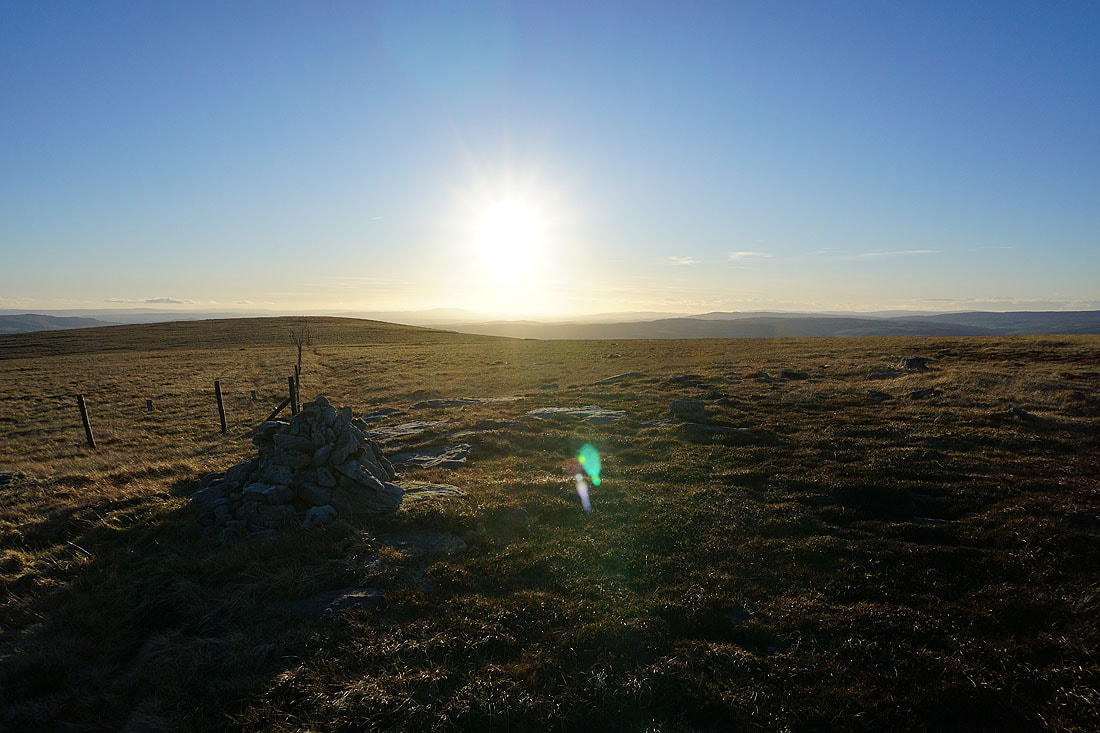
At the south top of Great Whernside
Little Whernside, Carle Fell, Great Haw, Angram Reservoir, and the moors around Nidderdale from Stone Head Crag
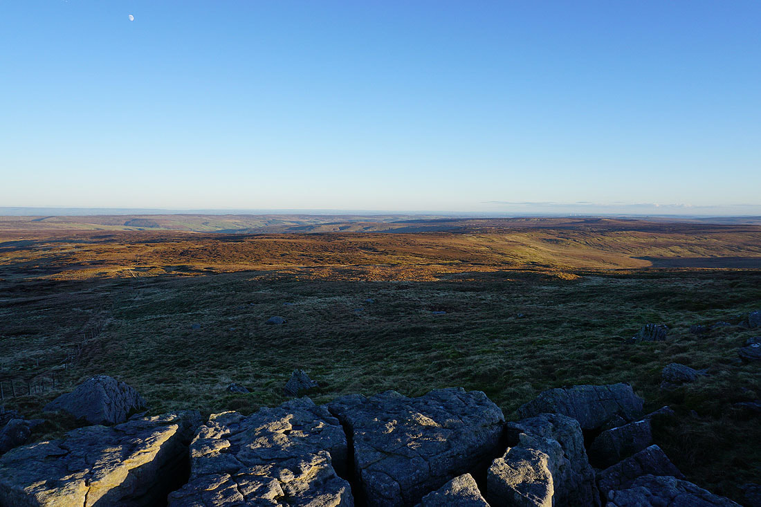
The bleak moors that make up the western side of Nidderdale
Back at the south top of Great Whernside
Looking down Wharfedale to Simon's Seat, Ilkley Moor, and Barden Moor
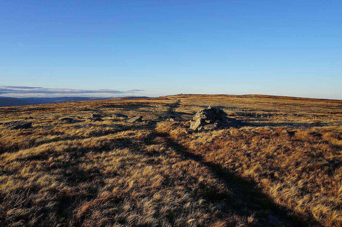
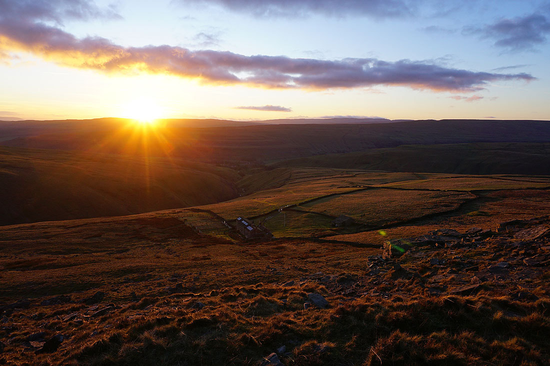
Heading back to the summit. I won't have to wait long for sunset now..
Long shadows across Wharfedale, with Pendle Hill in the distance on the right
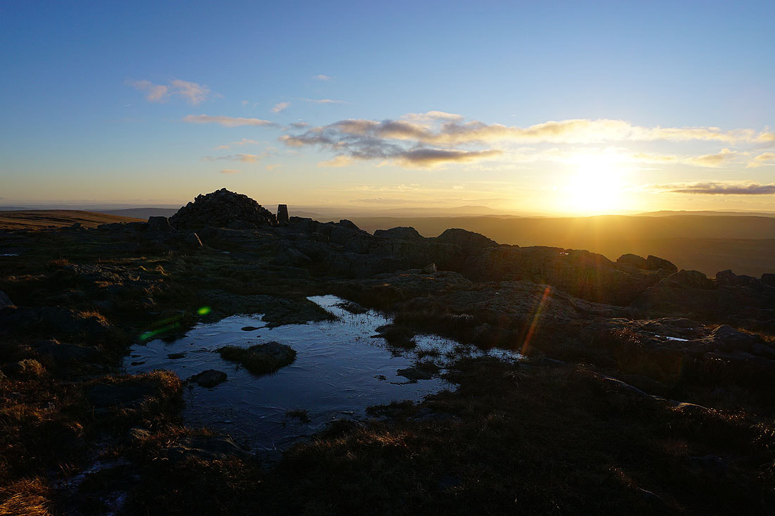
Back at the summit of Great Whernside..
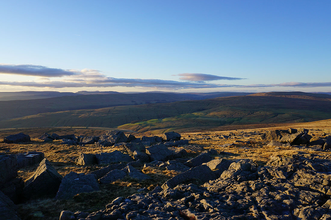
Looking west to Fountains Fell, Penyghent, Ingleborough, Plover Hill, Birks Fell and Whernside
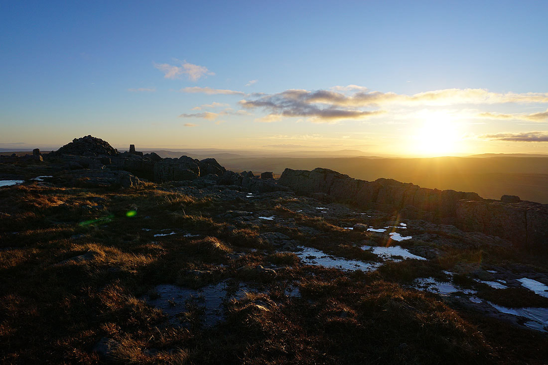
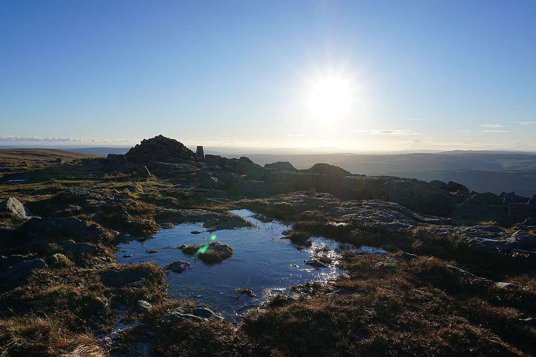
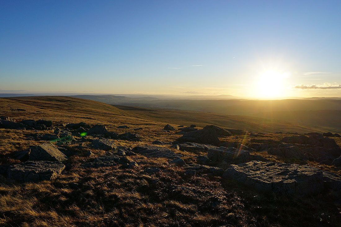
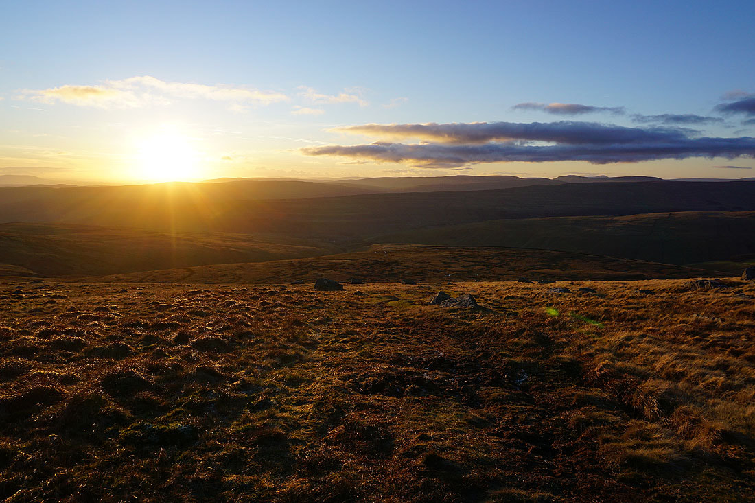
Taking in the setting sun...

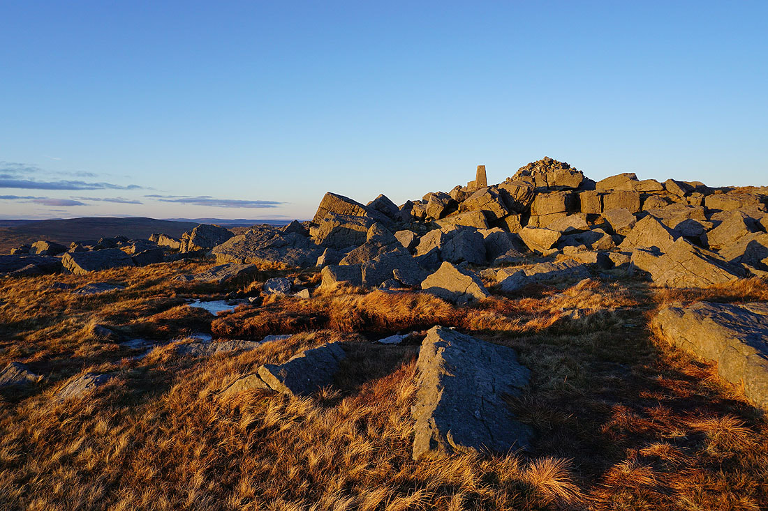
The summit rocks take on a rosy pink glow
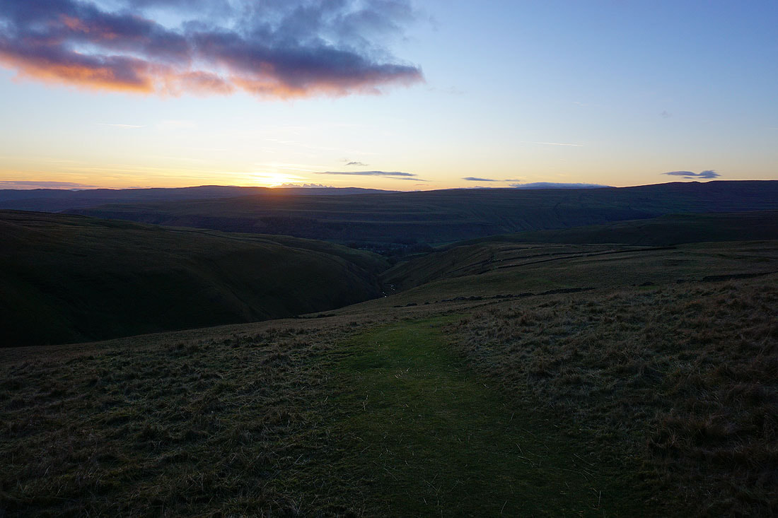
The sun sets as I descend the path from the summit to the Hag Dyke Hostel
Looking back and the hillside behind me almost looks like it's on fire
The Hag Dyke Hostel below
Heading down to Kettlewell and I've certainly made the most of the available daylight