2nd July 2023 - West Bradford Fell and Beacon Hill
Walk Details
Distance walked: 13.0 miles
Total ascent: 1582 ft
OS map used: OL41 - Forest of Bowland & Ribblesdale
Time taken: 7 hrs
Route description: Sawley-Sawley Bridge-Ribble Way-East View-Grindleton Road-Ribble Avenue-Clitheroe Road-Bradford Bridge-Ribble Way-Brungerley Bridge-Brungerley Farm-West Bradford-Grindleton Road-Pillings-Bowland Gate Lane-West Bradford Fell-Shivering Ginnel-Beacon Hill-Smalden Lane-Rodhill Lane-Lawson House Farm-Sawley Road-Sawley Bridge-Sawley
My walk for this weekend has taken me to the Ribble Valley and a route that took in a section of the River Ribble from Sawley to Brungerley Bridge just outside Clitheroe, and West Bradford Fell and Beacon Hill, part of the moorland that separates the valley of the River Ribble from that of the River Hodder. A good part of it was on footpaths and bridleways that were new to me, those by the River Ribble from below Grindleton to Brungerley Bridge, and then from there up onto West Bradford Fell. I try to keep things interesting by exploring new paths. A change of month may have brought a change in the weather, I'd gotten used to blue skies, sunshine, no rain, and warmth. Today was mostly cloudy with only a little sunshine every now and then, and a bit cooler than I was becoming used to.
From where I parked my car in Sawley I walked along the road across Sawley Bridge and took the trail of the Ribble Way on the left and followed it west to the bridge over the Ribble below Grindleton. Here I left the Ribble Way and walked up the road of East View to a T-junction, turned left and briefly walked along Grindleton Road, then left again to take the public footpath down Ribble Avenue to the north bank of the river, which I followed west to Clitheroe Road just south of West Bradford. After walking along the road across Bradford Bridge I joined the trail of the Ribble Way again and followed it west to Waddington Road just outside Clitheroe, walked along the road across Brungerley Bridge, then took a public footpath on the right up a track past Brungerley Farm, and then north across fields to reach Waddington Road in West Bradford. After a stop for lunch on a bench by the war memorial in West Bradford, I briefly walked east along Grindleton Road to a track on the left and a public footpath that I followed north and then east past the top of a housing estate to Bowland Gate Lane. After walking up to the top of Bowland Gate Lane I took the bridleway north up onto West Bradford Fell, past the ruin of Fell Side, and to a junction with another bridleway where I turned right to reach another bridleway, then it was right again to walk down this bridleway to reach the top of the road up from Grindleton. When the road met the edge of the plantation I took a footpath on the left and followed it north up to the track of Shivering Ginnel, then took the footpath east across Beacon Hill to reach Smalden Lane. After a brief walk north along Smalden Lane I took a bridleway down a track on the right, then another bridleway east and down the track of Rodhill Lane until I reached a public footpath on the right just before the access road to Hague Farm. I followed this footpath south across Sliping Brook, past Lawson House Farm, and down to Sawley Road. From here I just had to walk along Sawley Road and across Sawley Bridge back to where I'd parked my car.
Route map
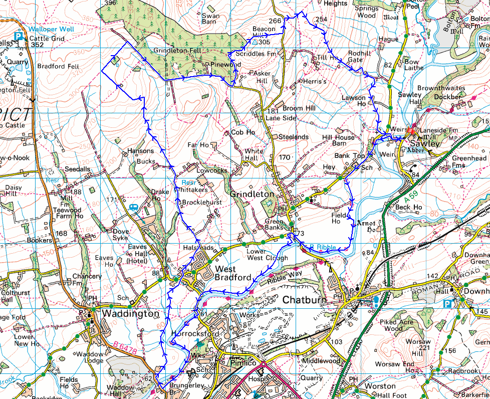
© Crown copyright. All rights reserved. License number PU 100034184.
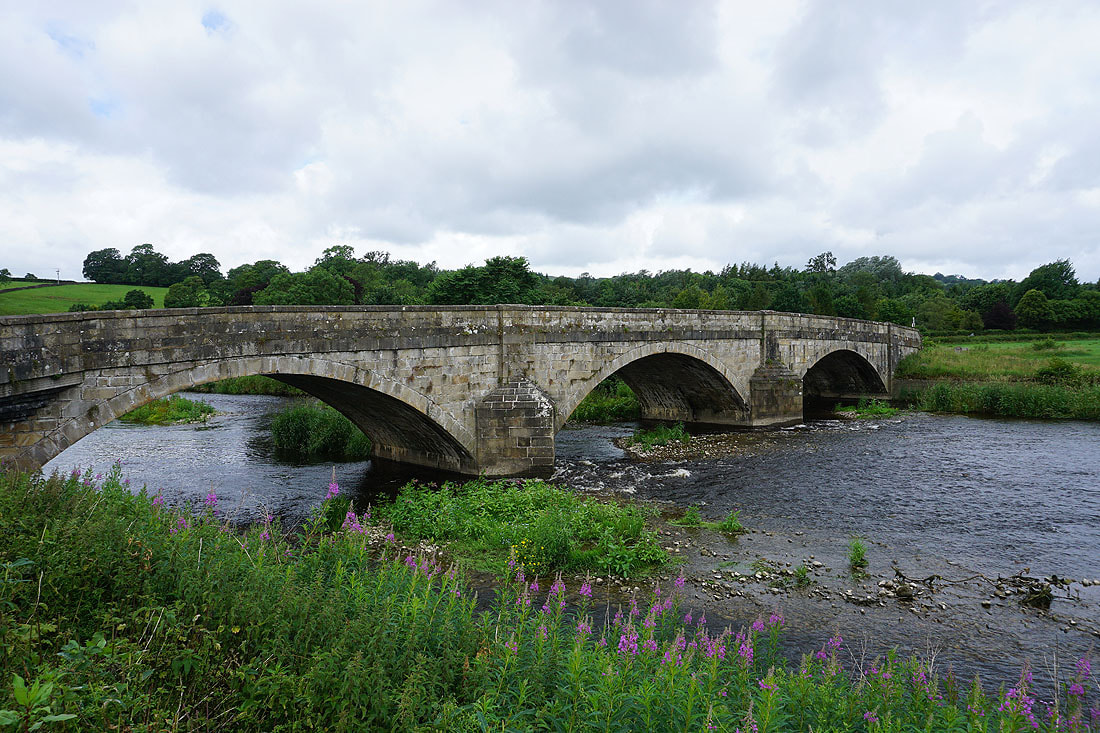
Leaving Sawley I take the trail of the Ribble Way across Sawley Bridge over the River Ribble
Looking upstream as I cross the bridge
Pendle Hill as the trail leaves the river and follows the road to Grindleton for a while
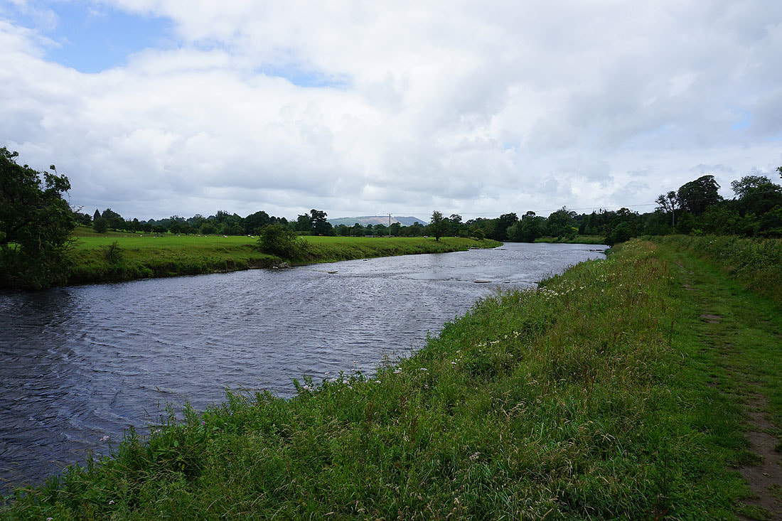
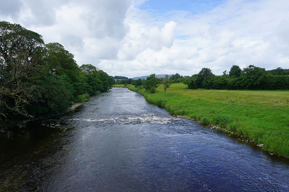
Off the road and the Ribble Way heads back to the riverside until I reach Grindleton.....
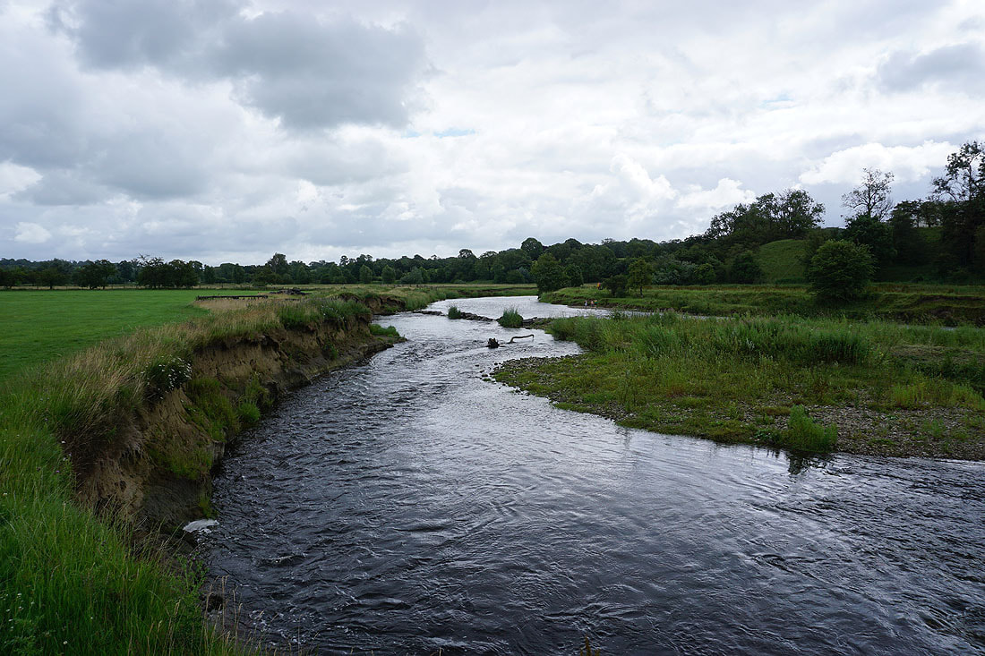
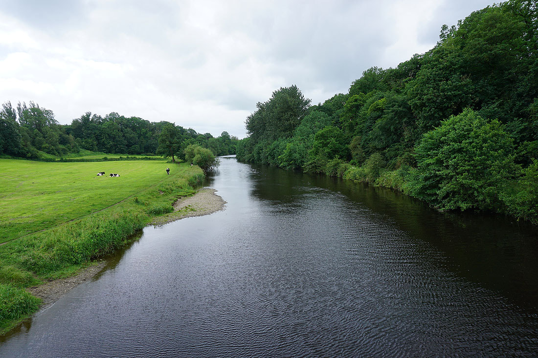
Grindleton ahead and I'll leave the Ribble Way here as the trail crosses to the other side of the river, but I'll stay by the river with a public footpath on this side
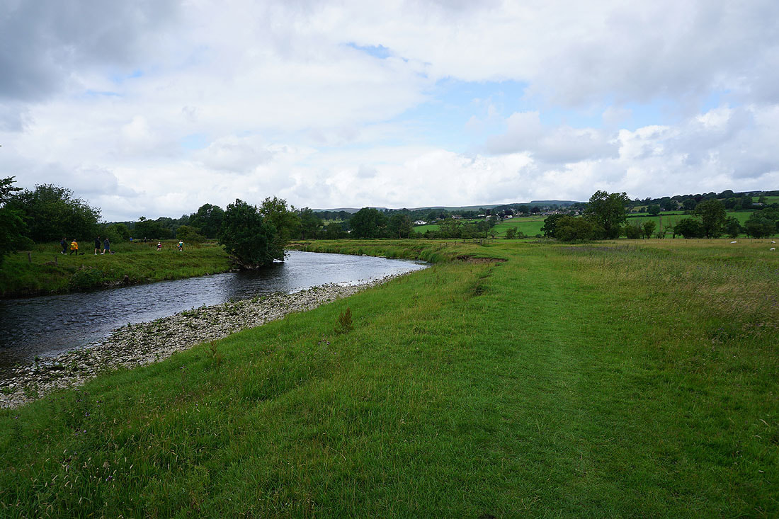
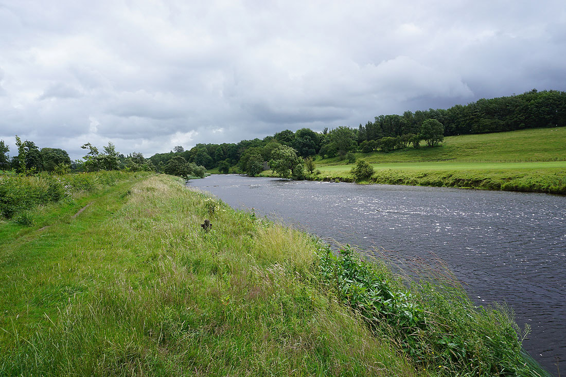
Following the footpath by the north bank of the River Ribble to Bradford Bridge.....
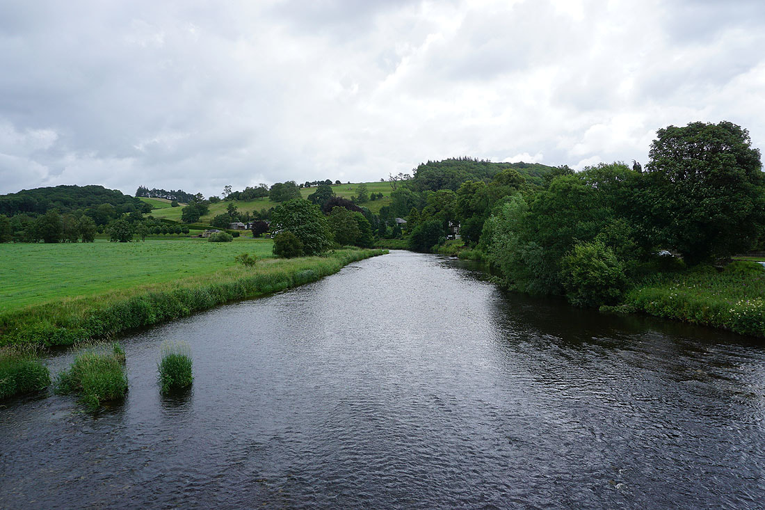
The River Ribble from Bradford Bridge. Looking upstream..
..and downstream, as I cross the bridge and join the Ribble Way again
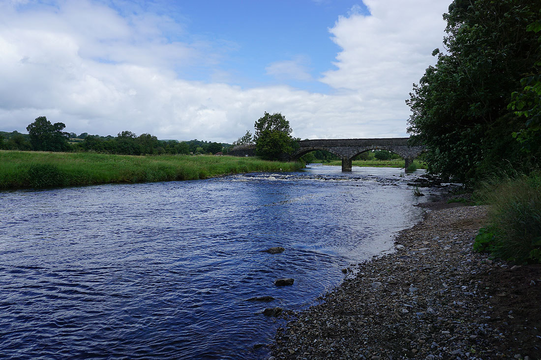
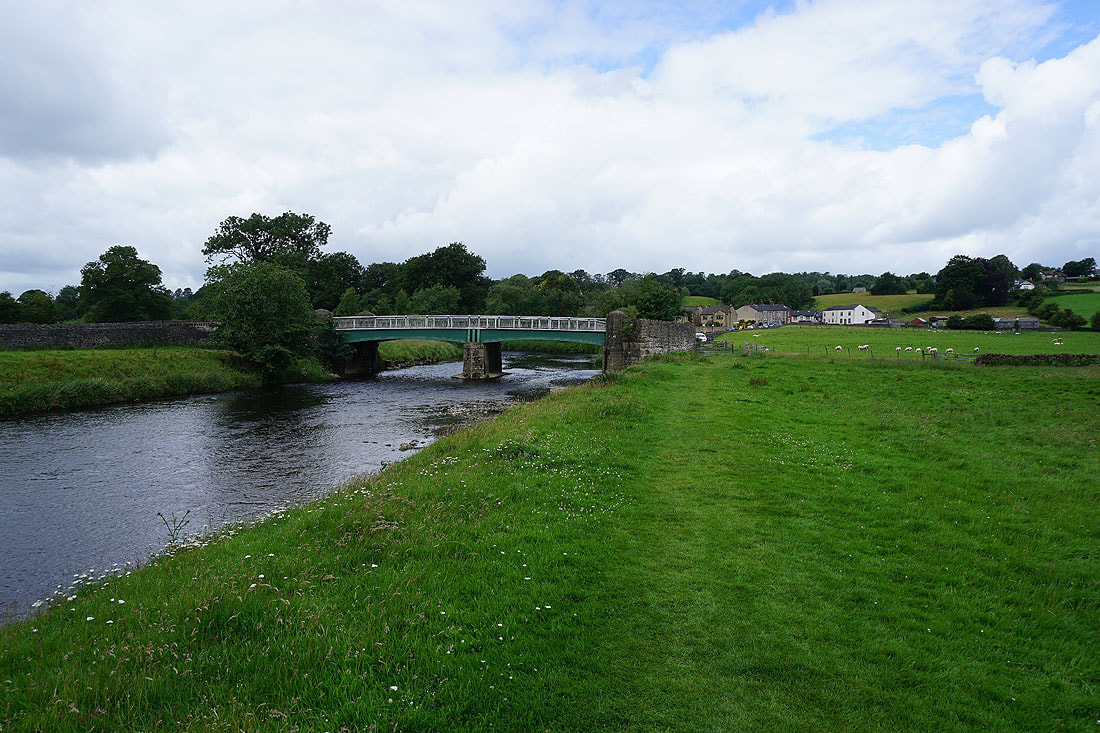
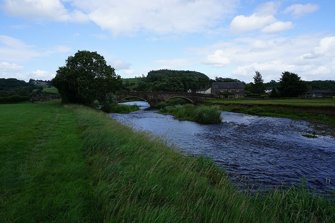
Bradford Bridge from by the River Ribble
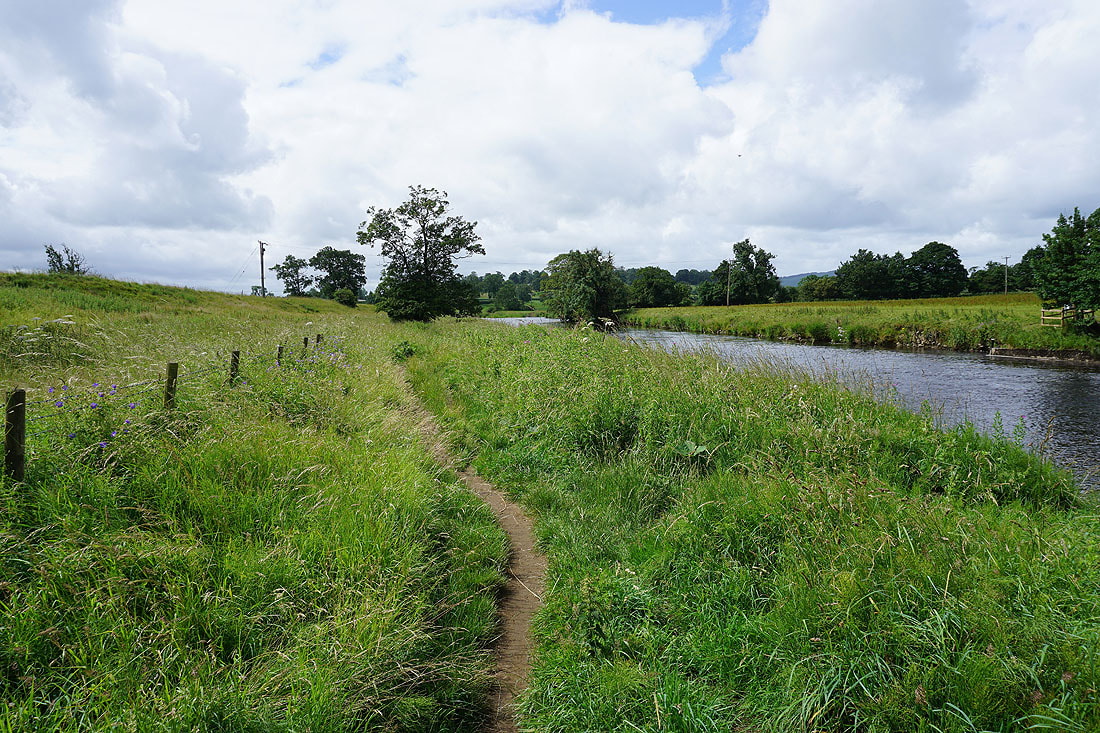
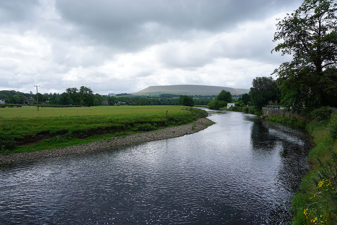
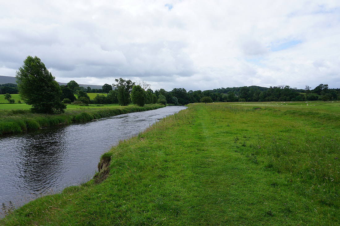
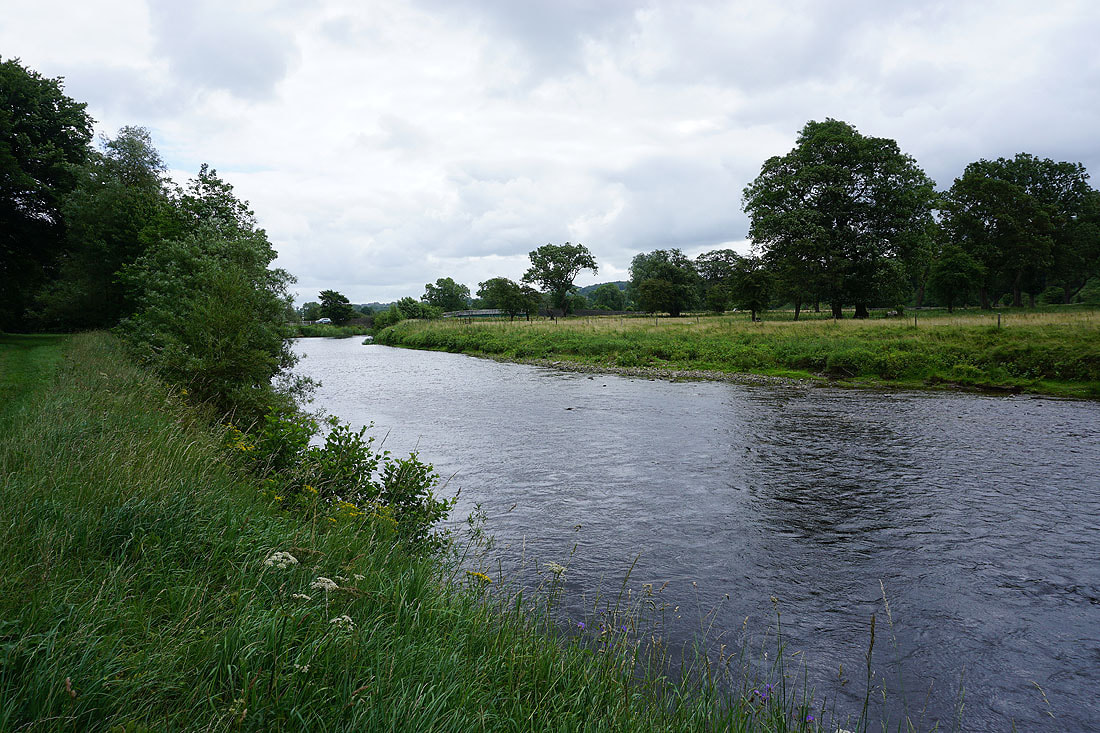
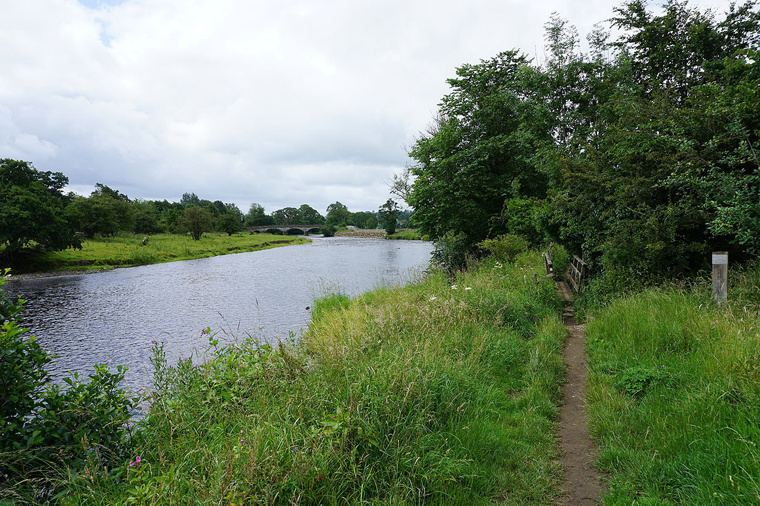
Following the Ribble Way by the south bank of the river
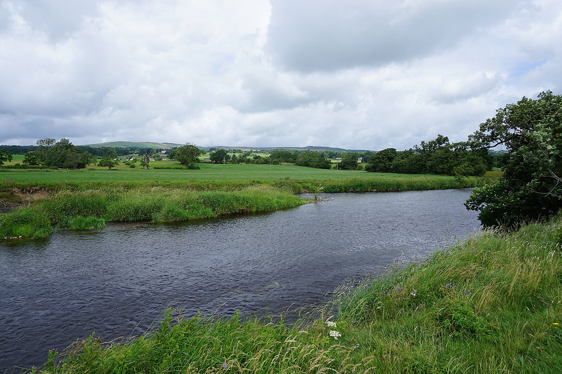
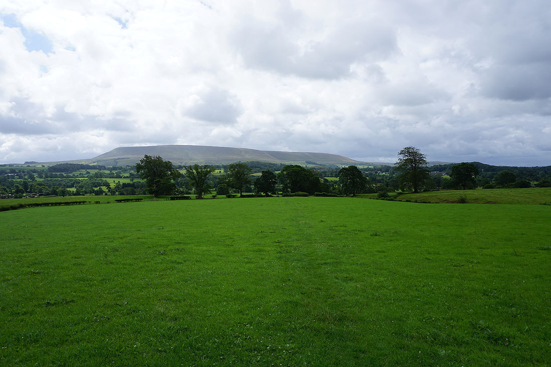
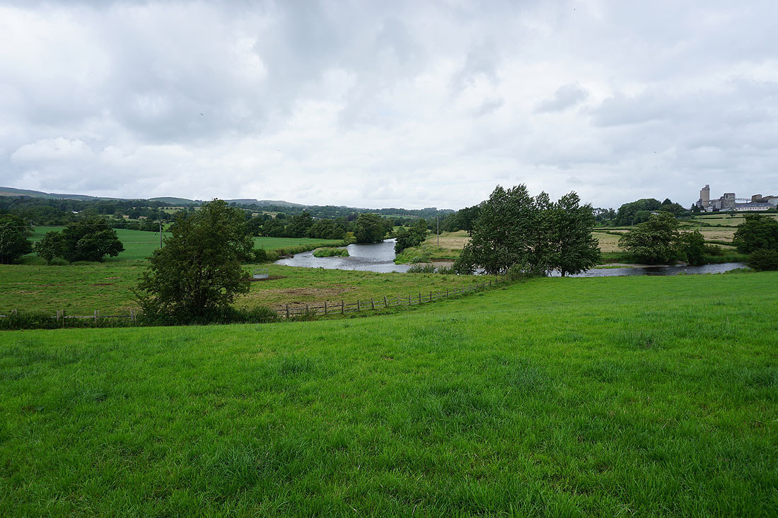
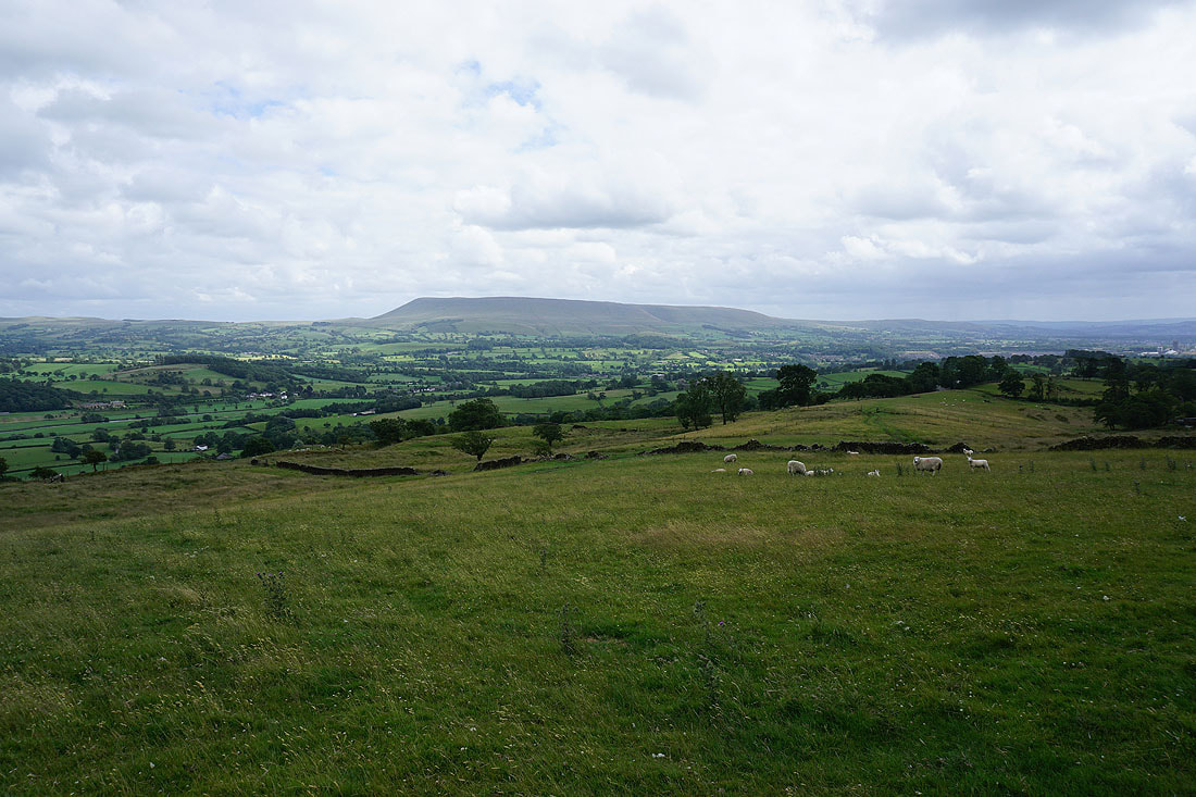
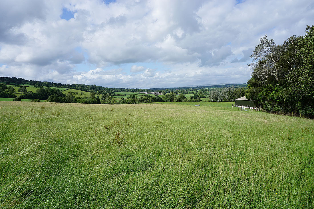
Looking across the river to West Bradford Fell in the distance
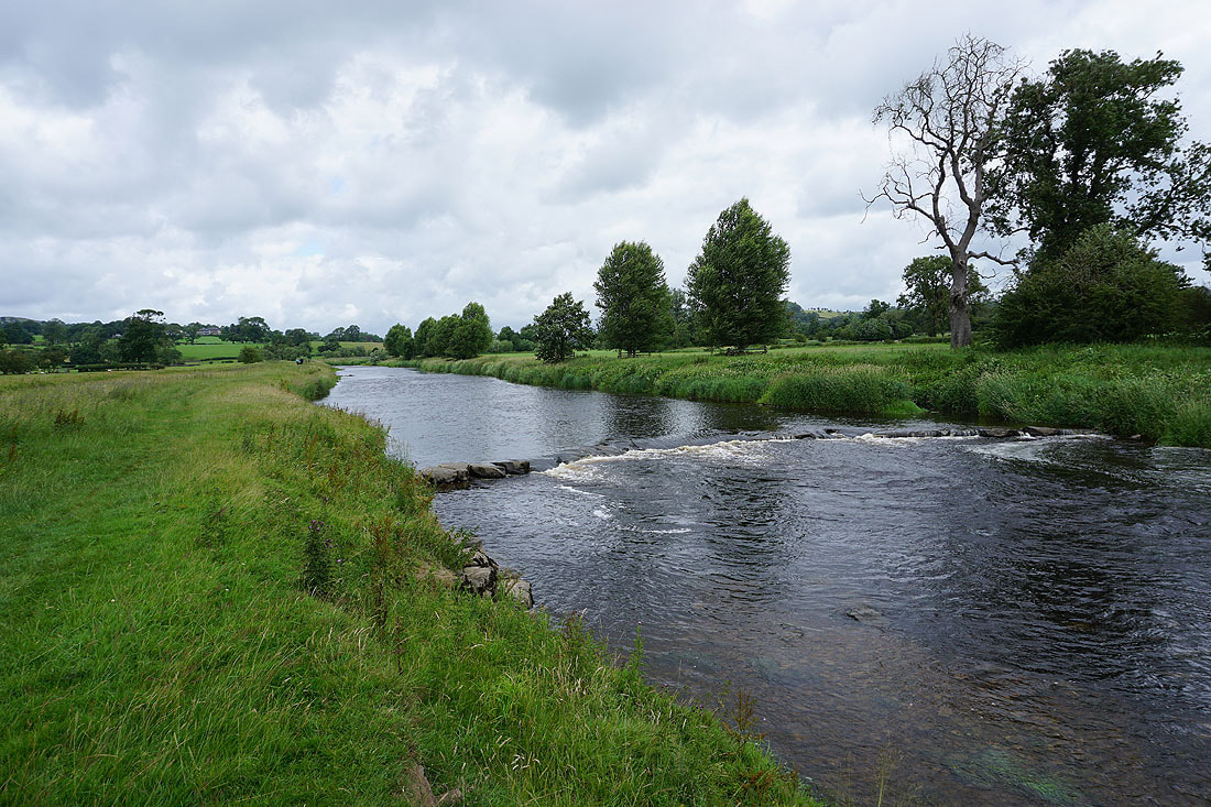
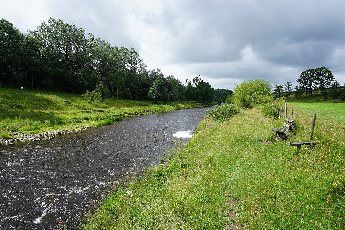
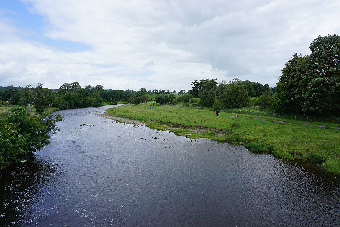
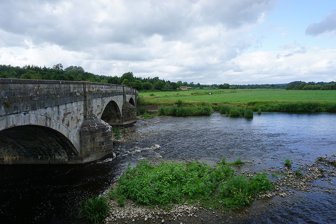
and downstream from Brungerley Bridge, which is where I finally leave the River Ribble behind
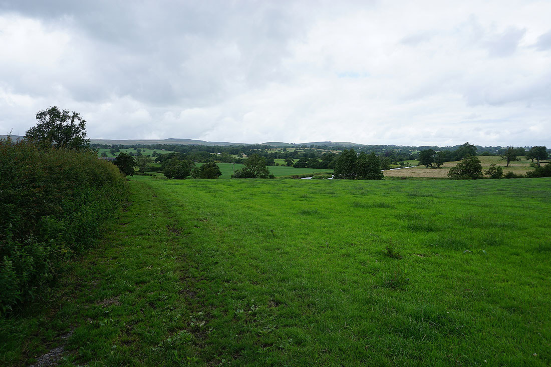
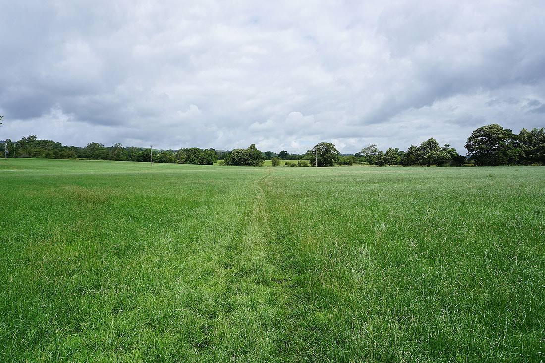
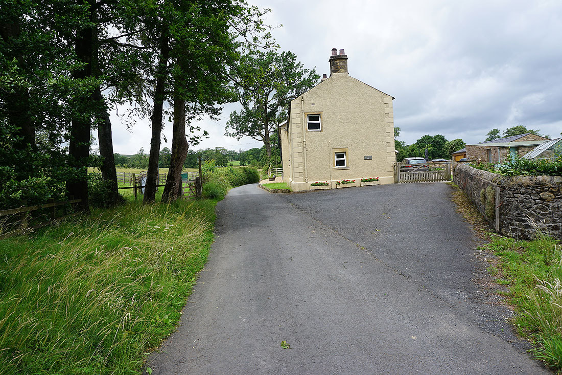
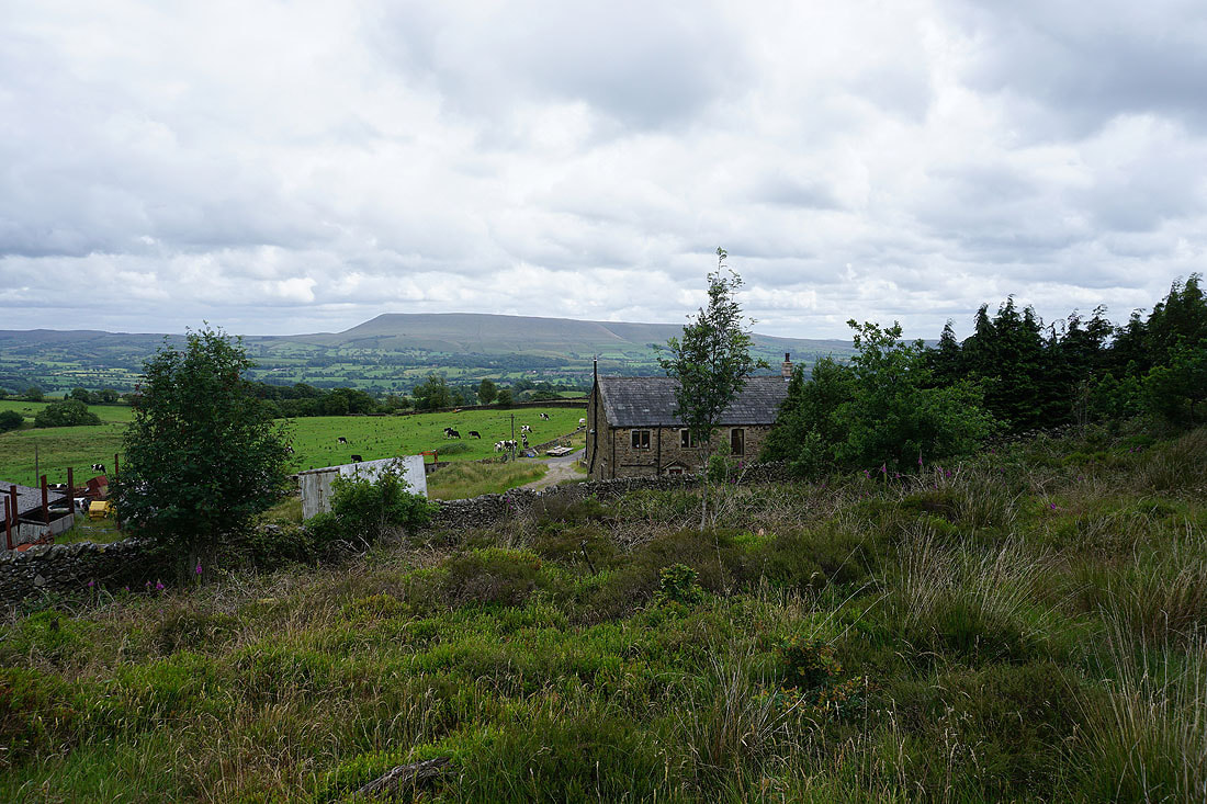
Following footpaths across fields to the village of West Bradford....
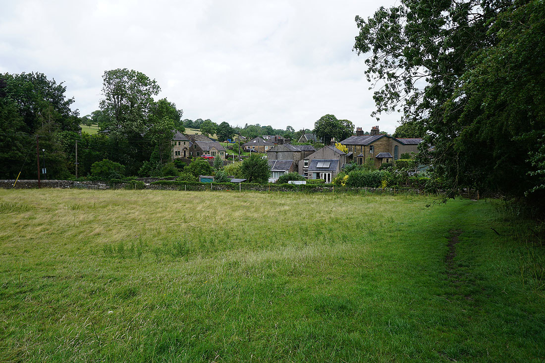
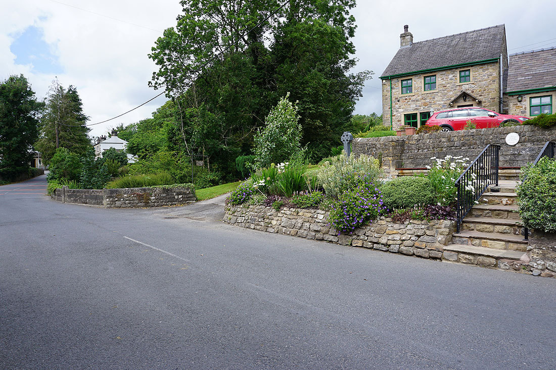
In the village of West Bradford. I stopped for lunch on a handily placed bench up on the right.
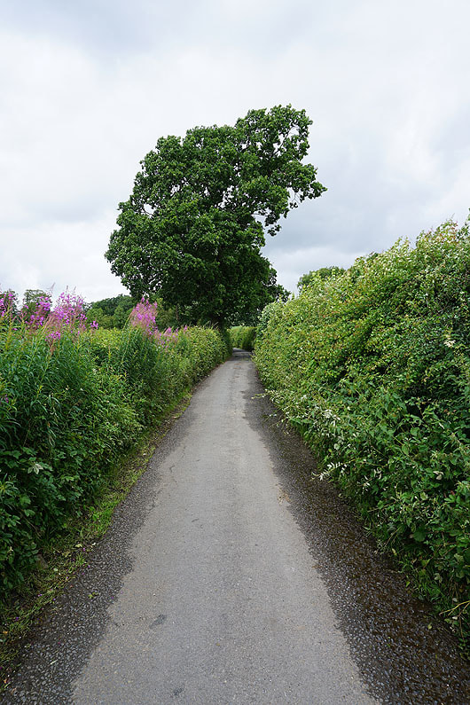
I leave West Bradford by taking a footpath to the north of Grindleton Road across to Bowland Gate Lane
To my right, a view across to Pendle Hill
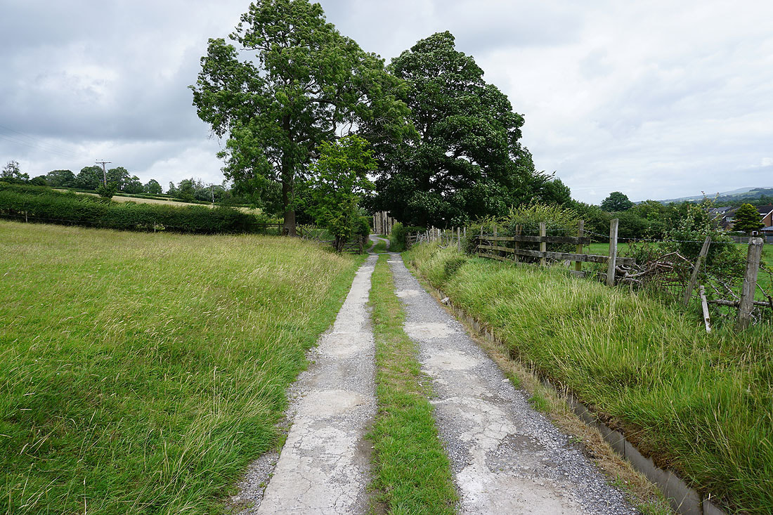
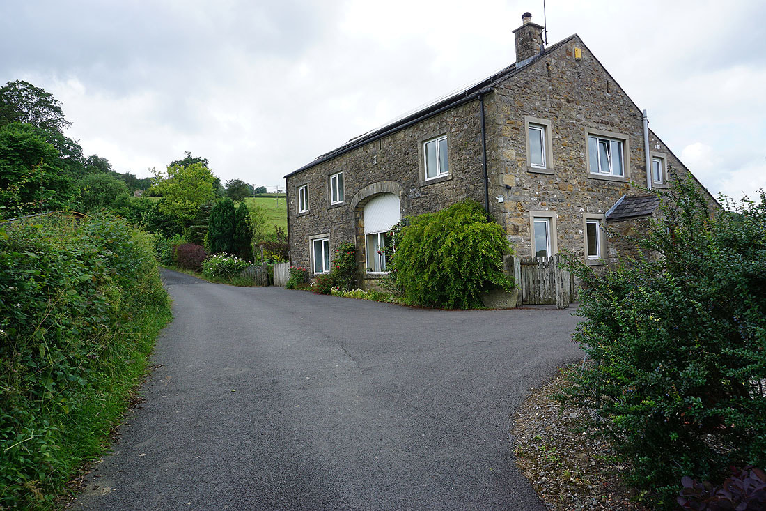
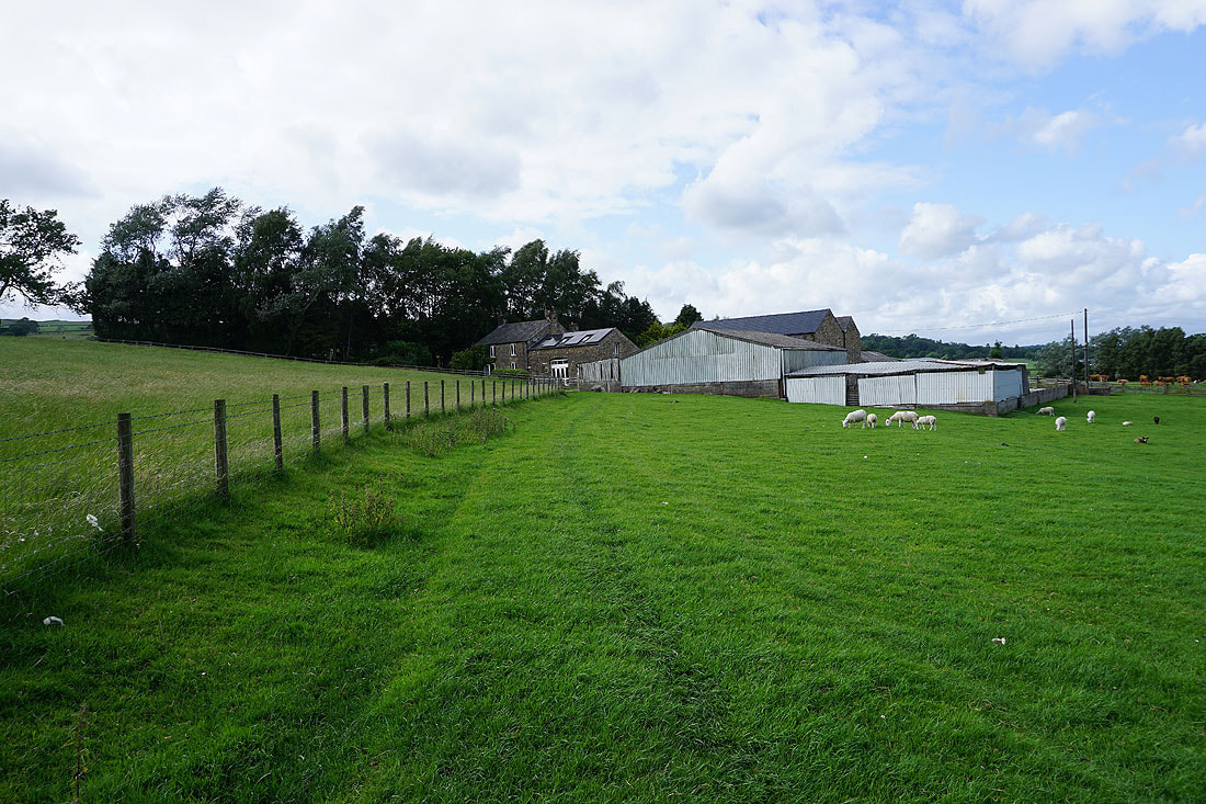
Heading up Bowland Gate Lane past Brocklehurst Farm
|
|
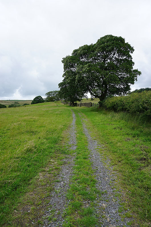
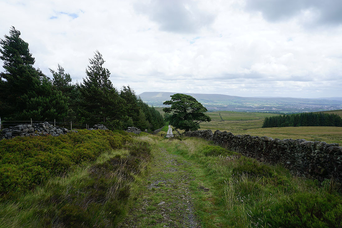
Up to the end of the road and onto the bridleway up onto West Bradford Fell..
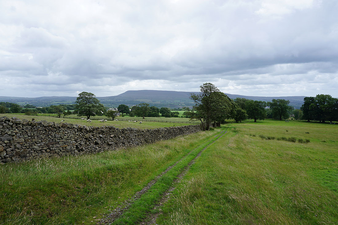
Looking back to Pendle Hill on the other side of the Ribble Valley
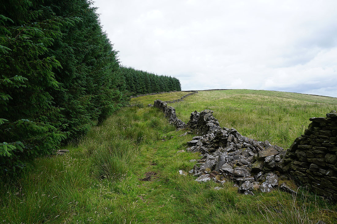
Following the bridleway onto West Bradford Fell
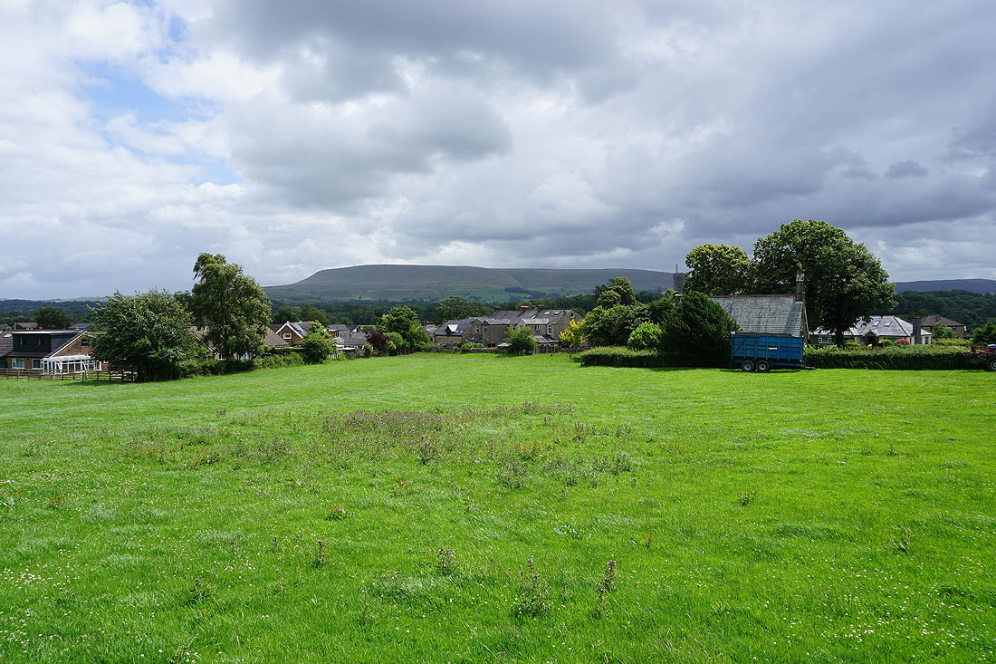
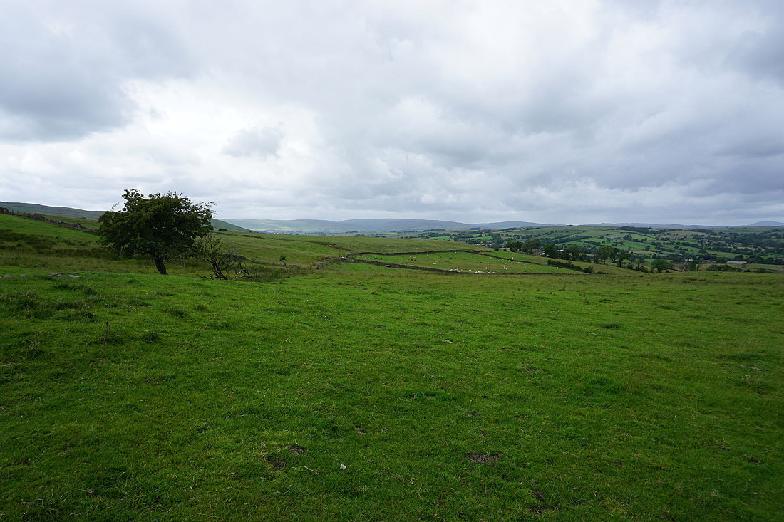
The nearby Simpshey Hill on the left, which I've visited a couple of times via a bridleway from Grindleton, and Pendle Hill on the right
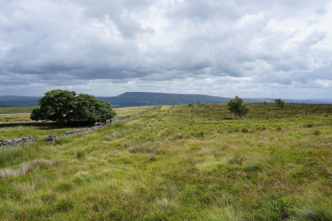
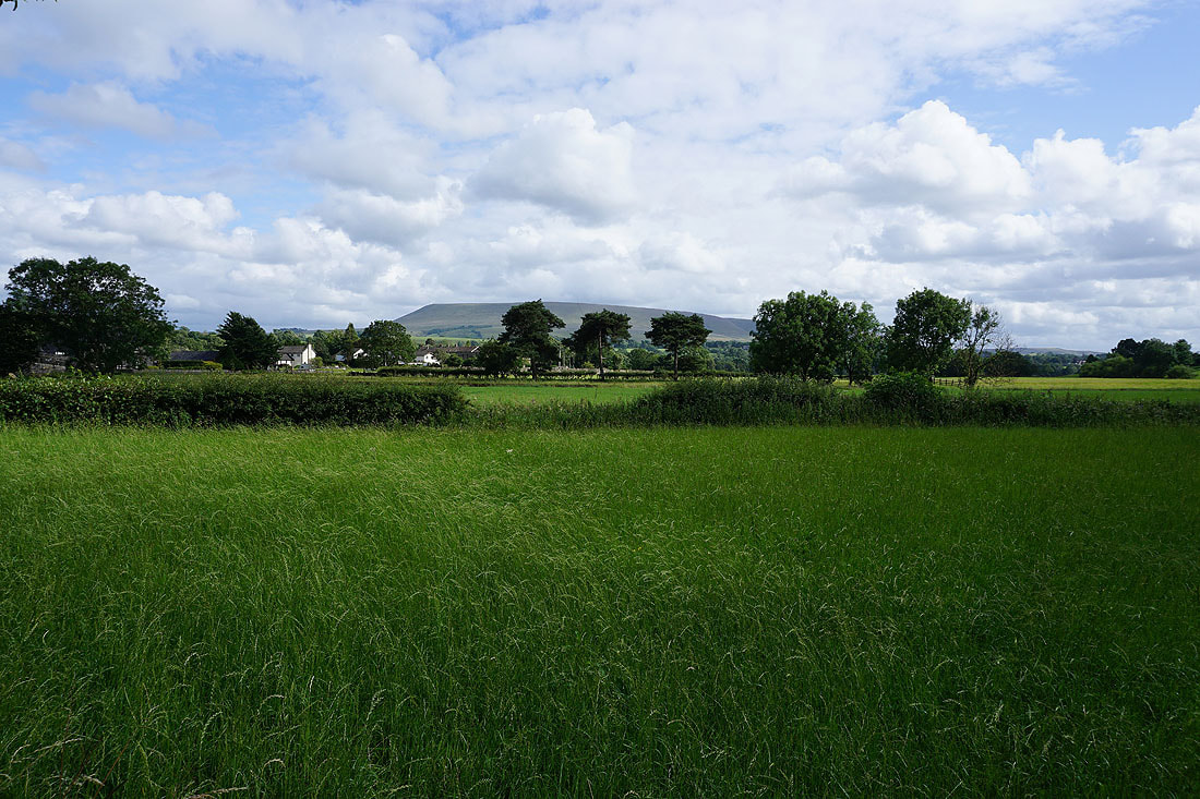
Beacon Hill to the east
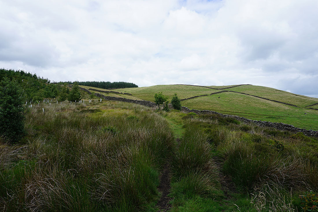
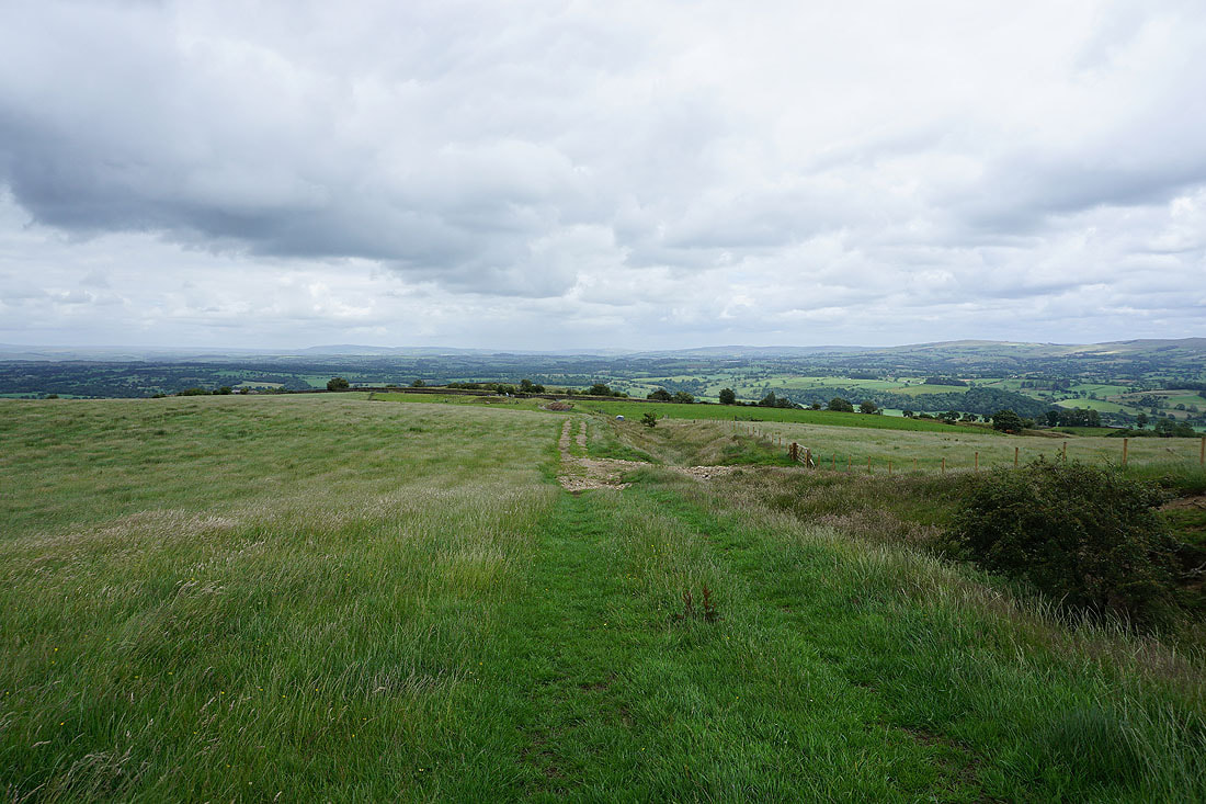
Heading north along the bridleway across West Bradford Fell
A welcome bit of sunshine for a view of Pendle Hill from West Bradford Fell
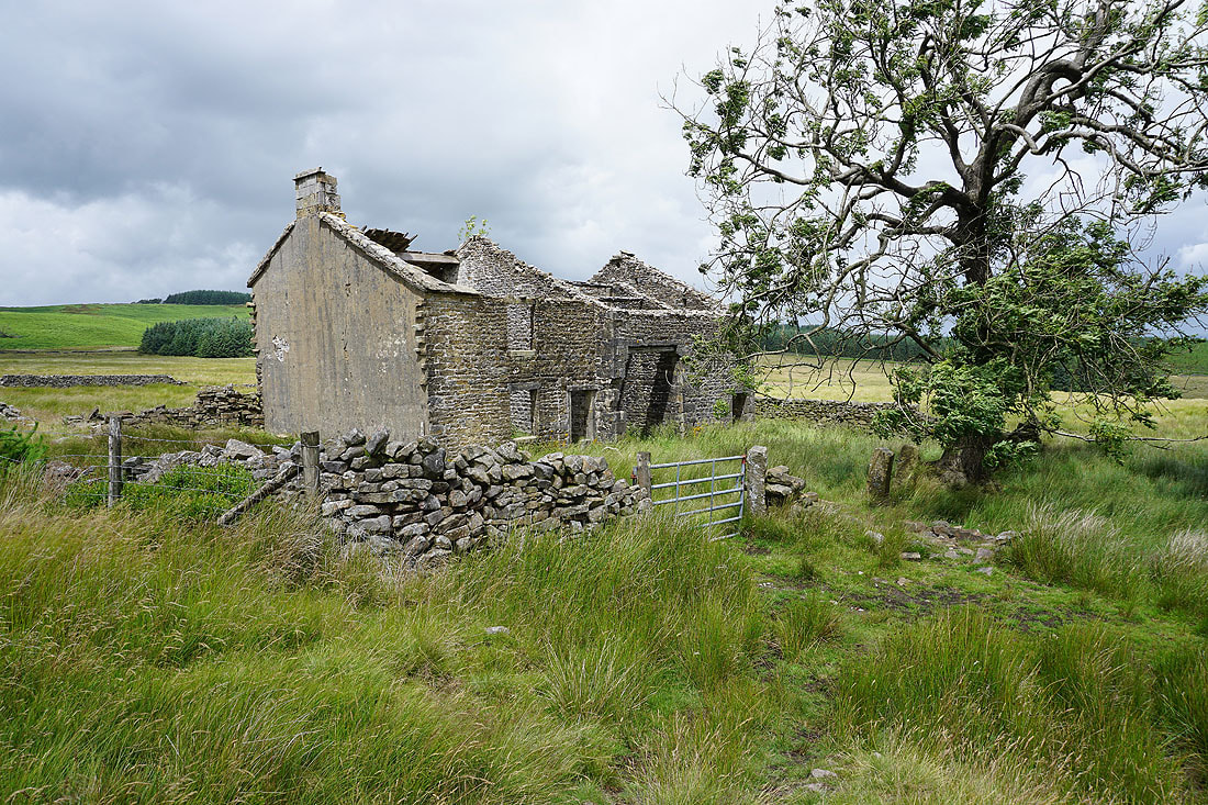
At the ruins of Fell Side
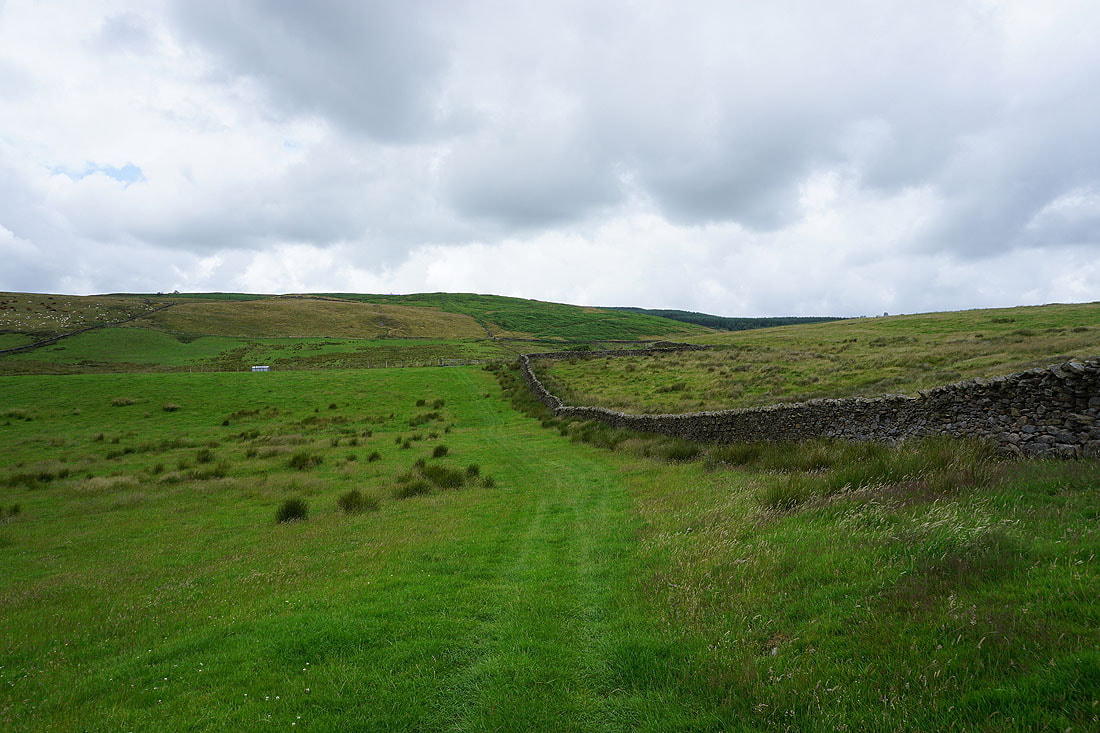
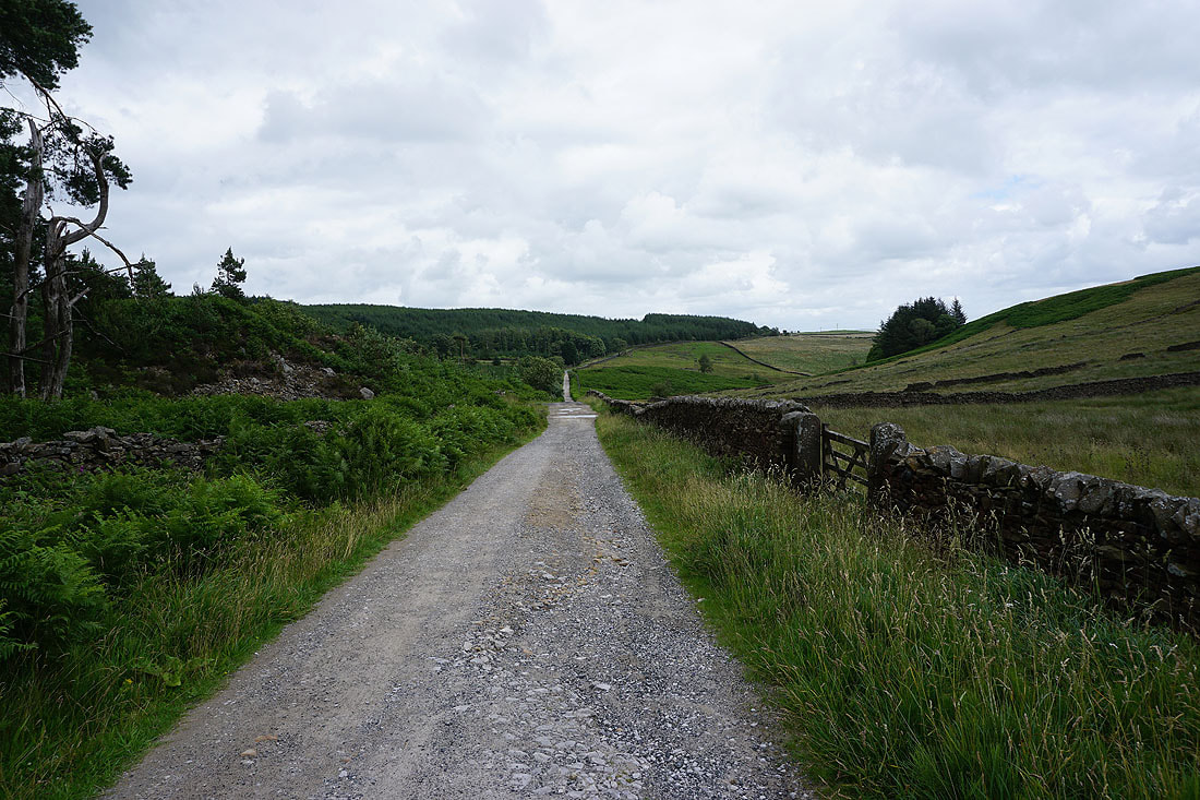
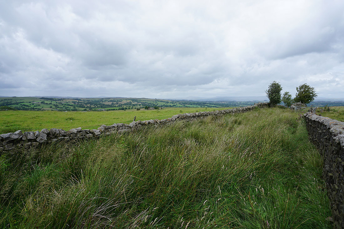
Looking back to Fell Side as the bridleway I'm on meets another one crossing the moor
I turn right and take this bridleway to the northeast
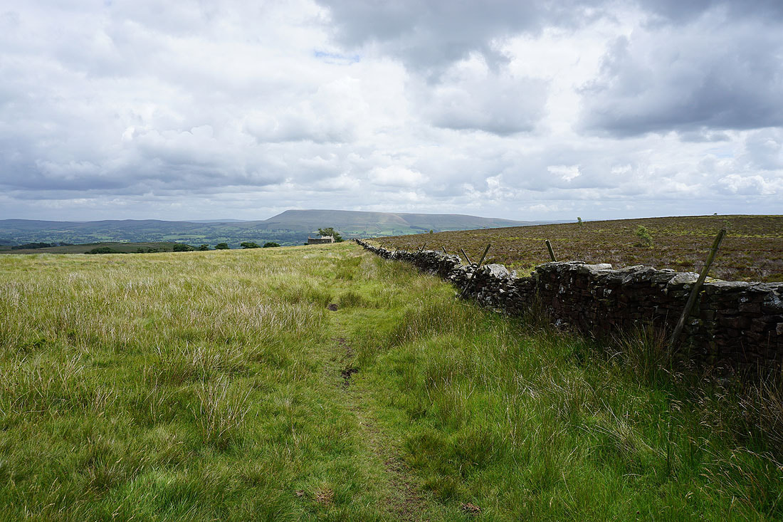
Then right again at another junction to take a bridleway down Grindleton Fell..

Looking back to West Bradford Fell
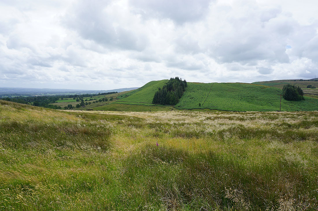
A bracken clad Simpshey Hill
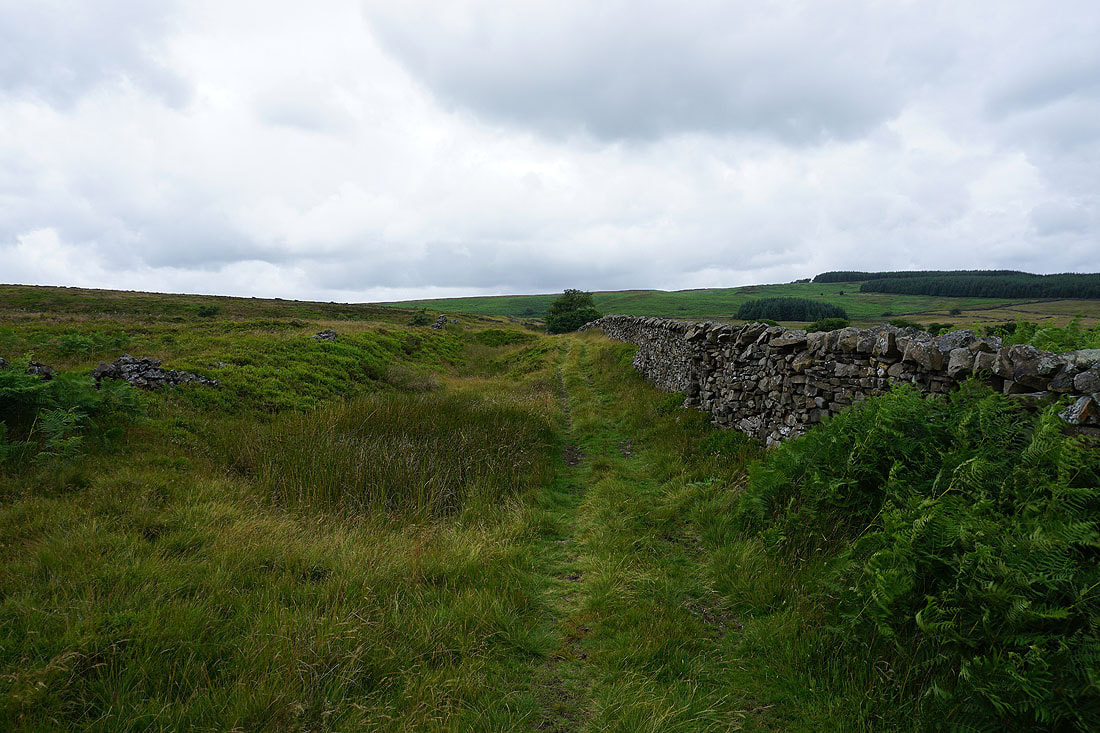
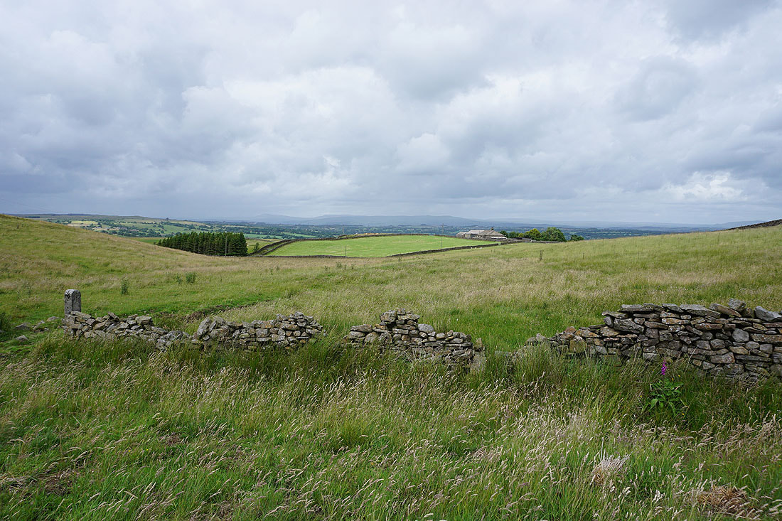
I leave the road up from Grindleton for a footpath up onto Beacon Hill
Pendle Hill from above Lower Asker Hill
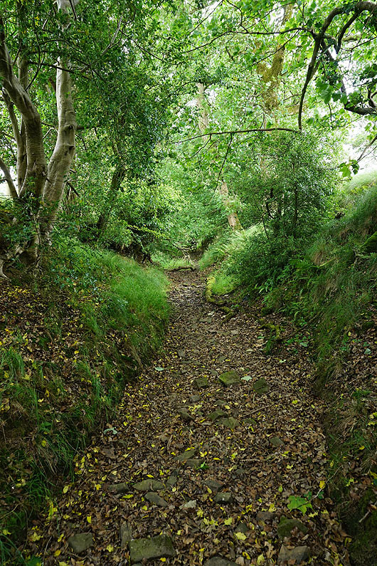
On the imaginatively named track of "Shivering Ginnel"
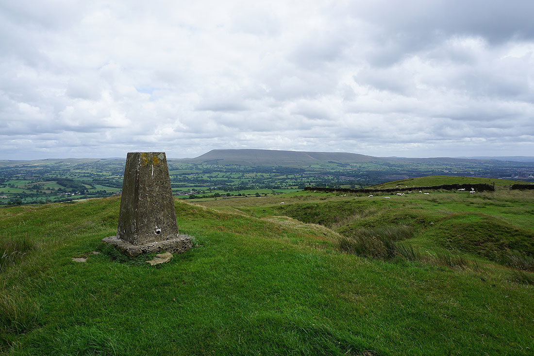
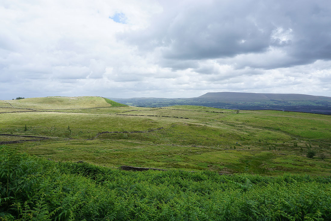
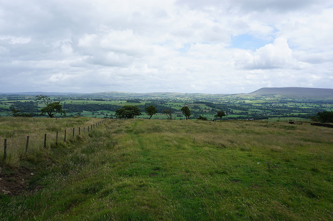
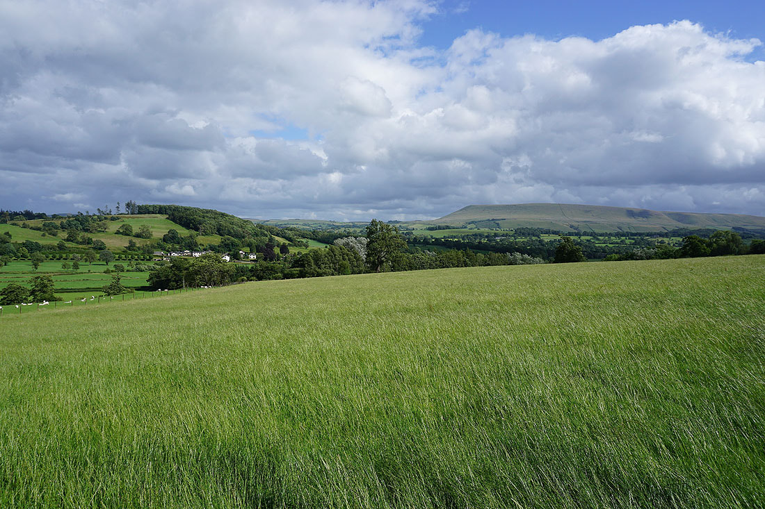
Pendle Hill to the south on the other side of the Ribble Valley. Beacon Hill is a great viewpoint. It should be if it's going to be the site of a beacon.
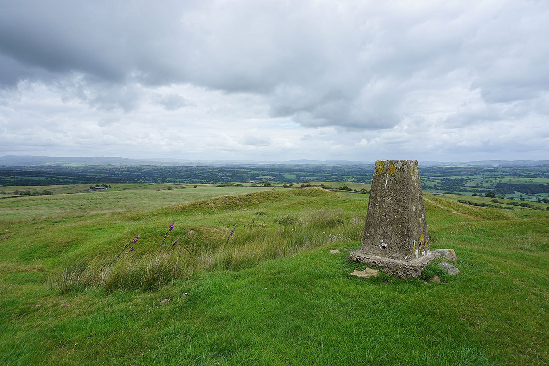
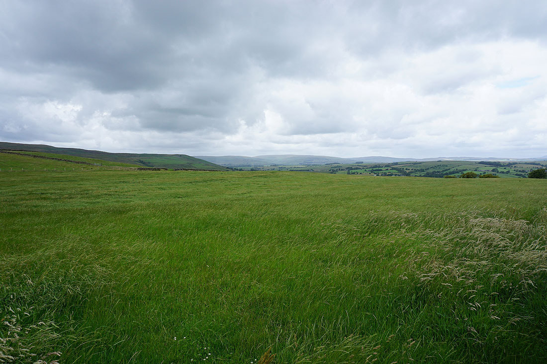
To the east, the moors between Settle and Malham, along with Barden Moor
Leaving Beacon Hill I follow the footpath east to Smalden Lane
From Smalden Lane I can make out White Hill and Catlow Fell in the Forest of Bowland in the distance
As well as Ingleborough, Penyghent, and Fountains Fell in the Yorkshire Dales
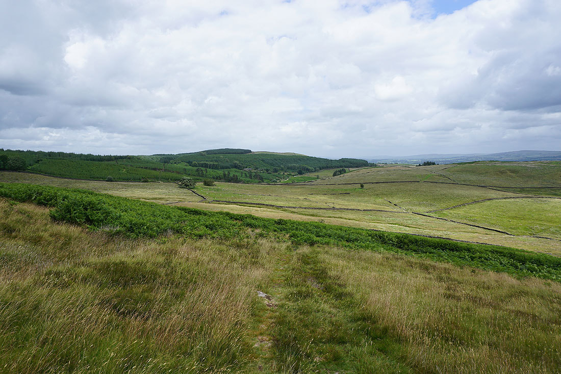
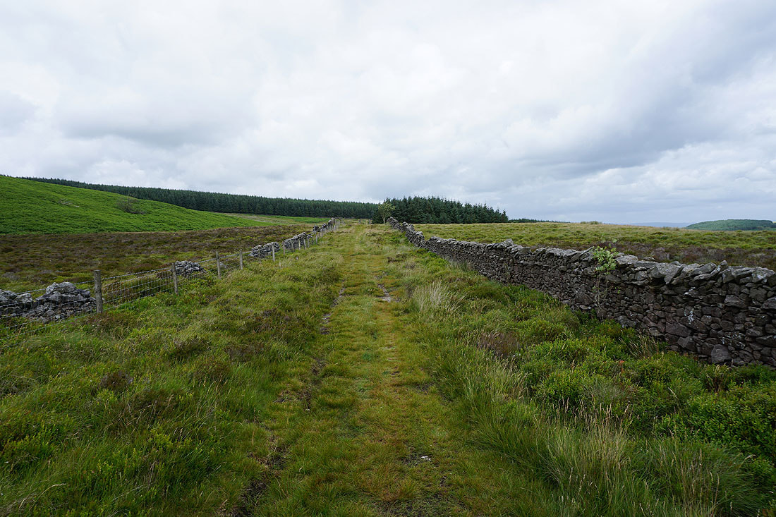
I leave Smalden Lane for the bridleway and track of Rodhill Lane. It's really wet underfoot, it's like a drain for the surrounding fields.
Dunsop Fell, White Hill, and Catlow Fell in the distance to the northwest
Along with Ingleborough, Penyghent, and Fountains Fell to the north beyond the nearby moors
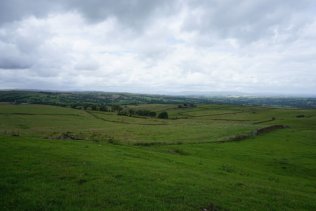
Penyghent, Fountains Fell, and the moors above Settle in the distance as I leave the track to Higher Heights and take the bridleway to Rodhill Lane
As I cross the moor I get a view across the Ribble Valley to Weets Hill, Rimington Moor, Twiston Moor, and Pendle Hill..
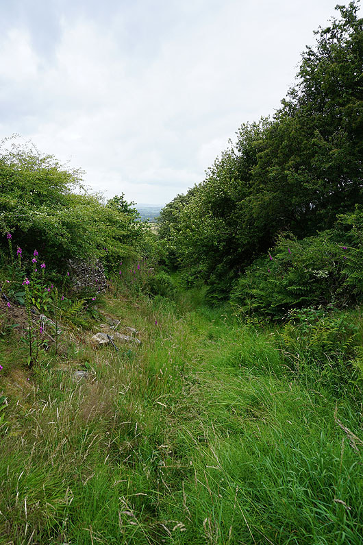
Heading down the sunken track of Rodhill Lane
At Rodhill Gate
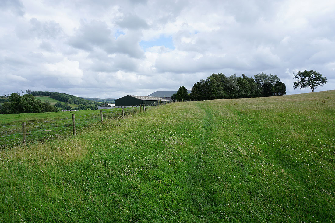
Crossing fields to Lawson House Farm
A welcome bit of sunshine for enjoying the views at the end of the afternoon
Especially this one of Sawley and Pendle Hill from above Lawson House Farm
Looking back to Lawson House Farm
Pendle Hill from Sawley Road
Sawley Bridge and the River Ribble
A final shot as I cross Sawley Bridge back into Sawley