2nd June 2013 - Penyghent & Plover Hill
Walk Details
Distance walked: 8.2 miles
Total ascent: 1802 ft
OS map used: OL2 - Yorkshire Dales, Southern & Western areas
Time taken: 5.5 hrs
Route description: Horton in Ribbledale-Brackenbottom-Pennine Way-Penyghent-Plover Hill-Foxup Moor-Hull Pot-Pennine Way-Horton in Ribbledale
My Dad joined me for todays walk up Penyghent and Plover Hill.
From Horton we took the lane to Brackenbottom for the popular route up Penyghent. After paying the summit a visit we made our way across to Plover Hill. The route back was down the pitched path to Foxup Moor and the bridleway back to Horton with a short diversion to see Hull Pot.
Route map
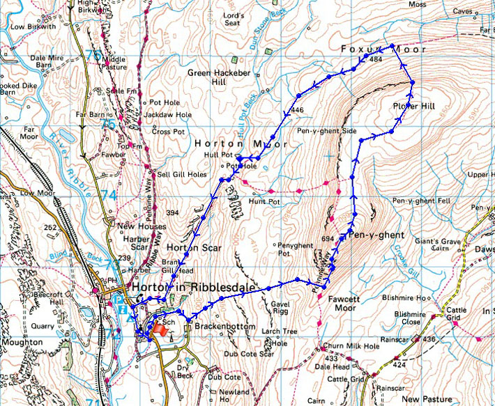
© Crown copyright. All rights reserved. License number PU 100034184.
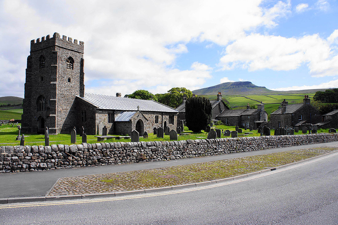
The church of St. Oswald's with Penyghent, our objective for the day in the background
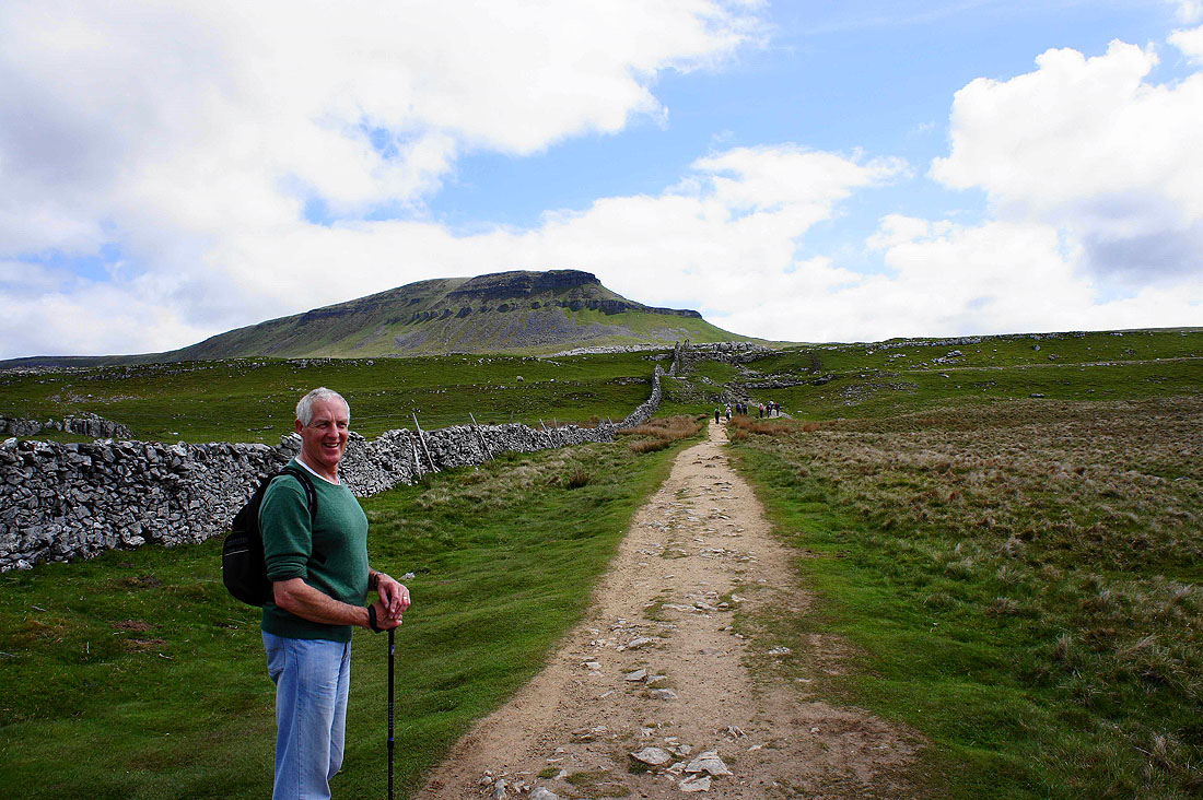
Oh yes, that's where we're heading
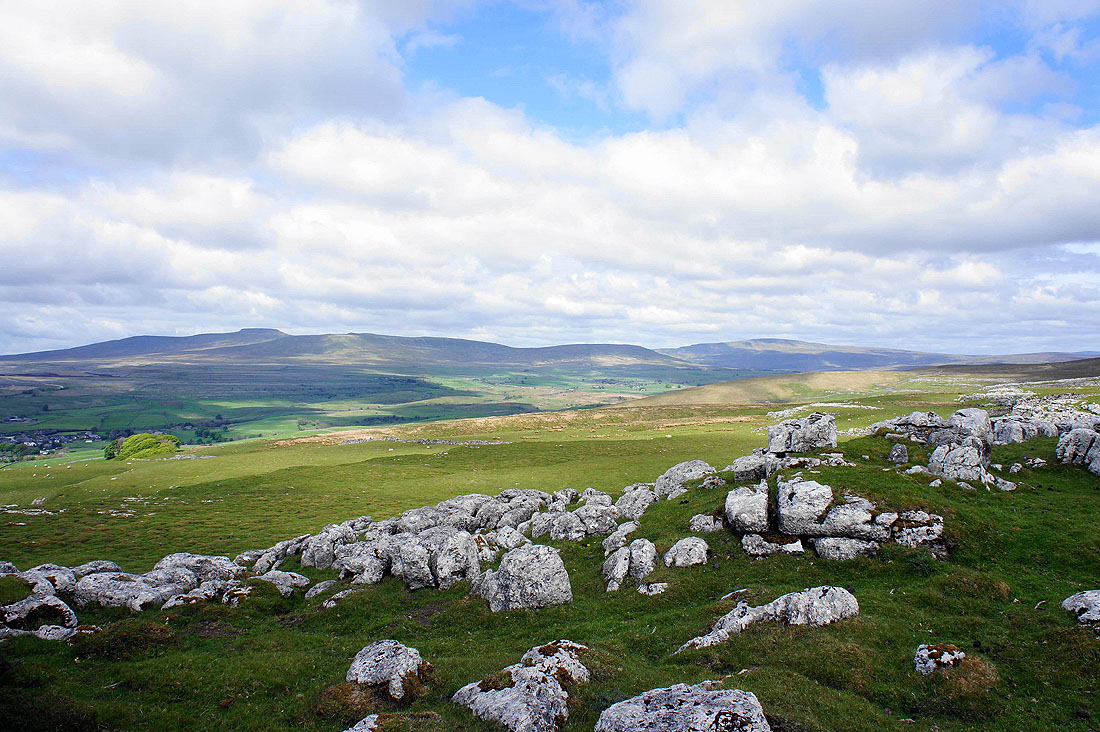
Ingleborough and Whernside across Ribblesdale
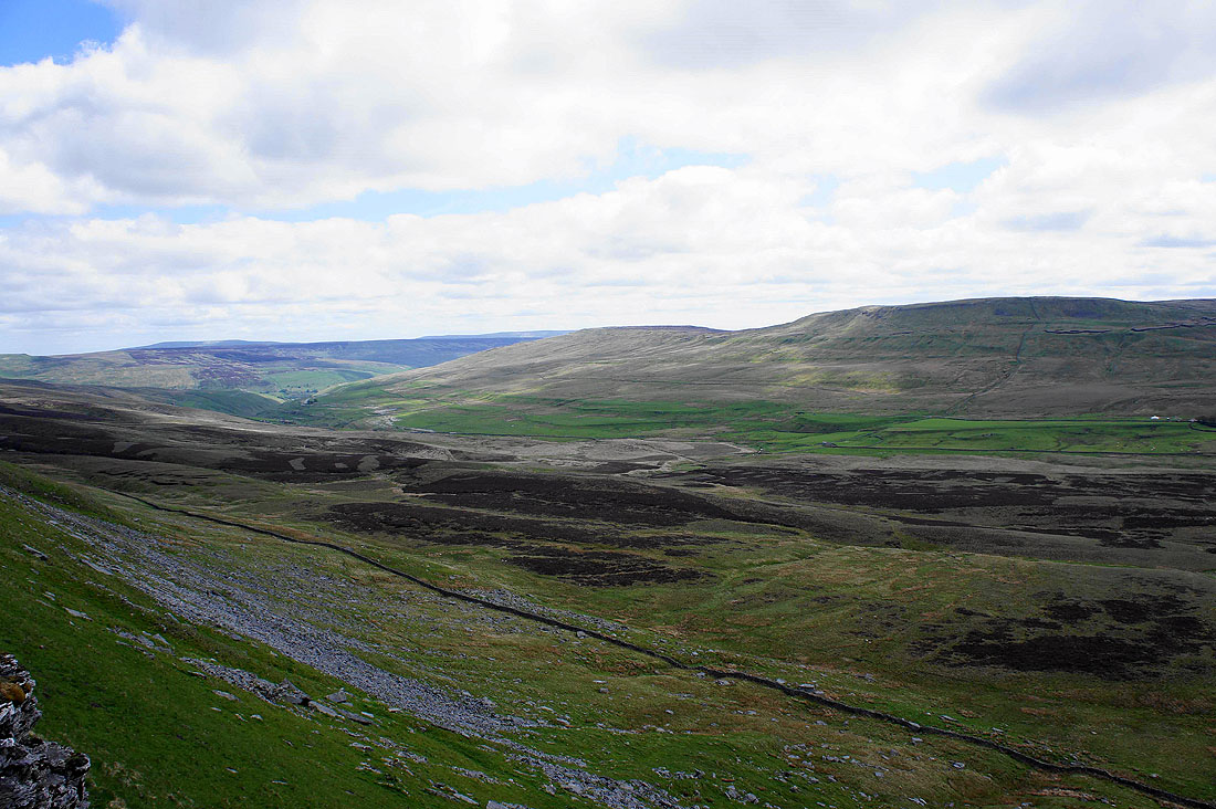
Penyghent Gill, Darnbrook Fell and Fountains Fell as the climb briefly eases
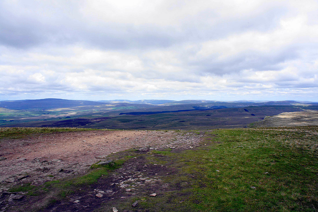
Looking south down Ribblesdale with Pendle Hill in the distance
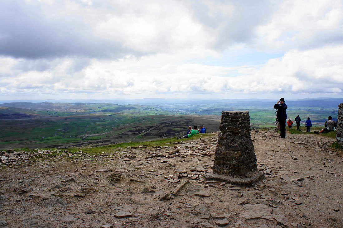
A busy Penyghent summit
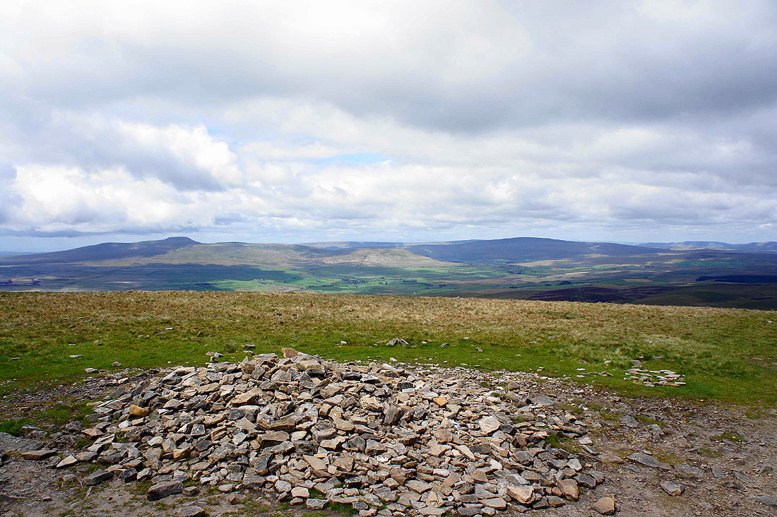
Ingleborough and Whernside
A multitude of fells to the northwest. Whernside is on the left with the Howgills, Baugh Fell and Great Knoutberry Hill to its right.
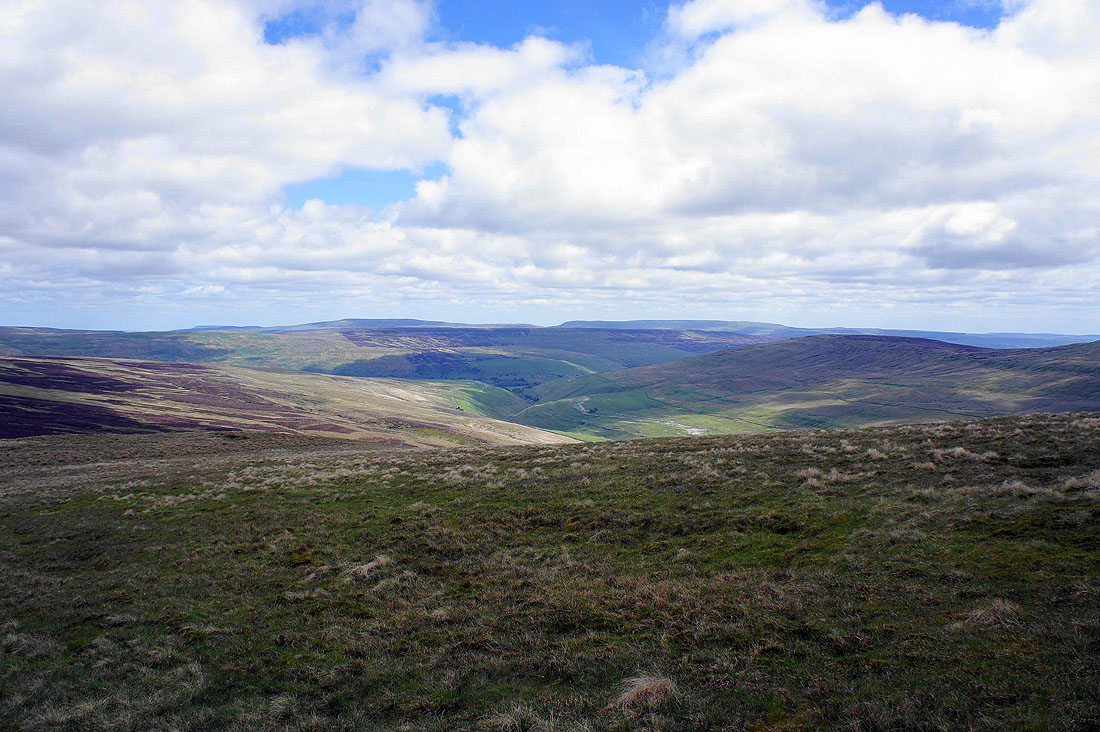
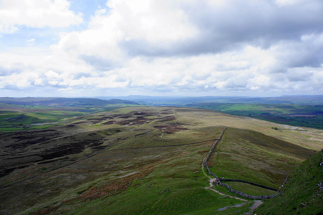
We've left Penyghent for Plover Hill. Penyghent Gill below turns right for Littondale. The highest hills in the background are Buckden Pike and Great Whernside.
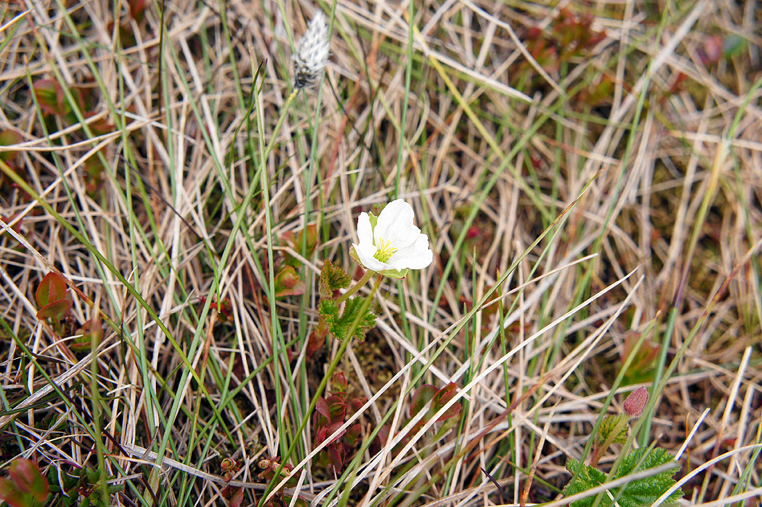
My Dad spotted this solitary flower on the walk between Penyghent and Plover Hill. We think that it may be a cloudberry or knoutberry? Its situation suggests that it could be.
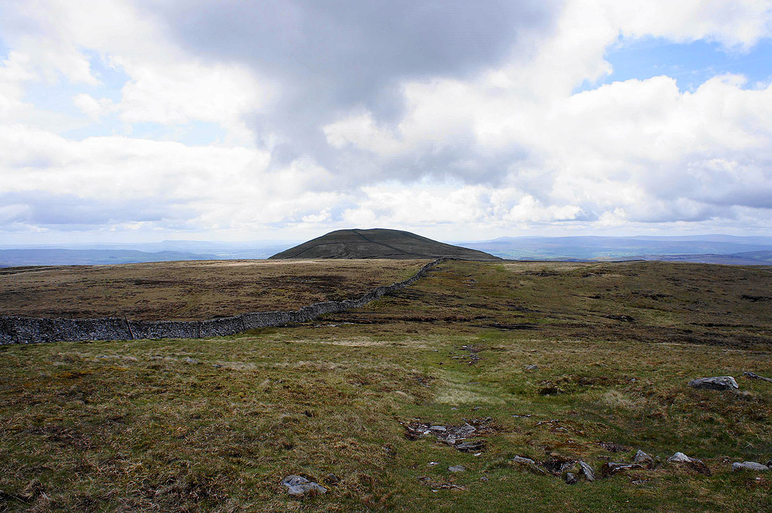
A retrospective view of Penyghent
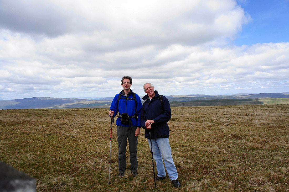
Me and my Dad on Plover Hill
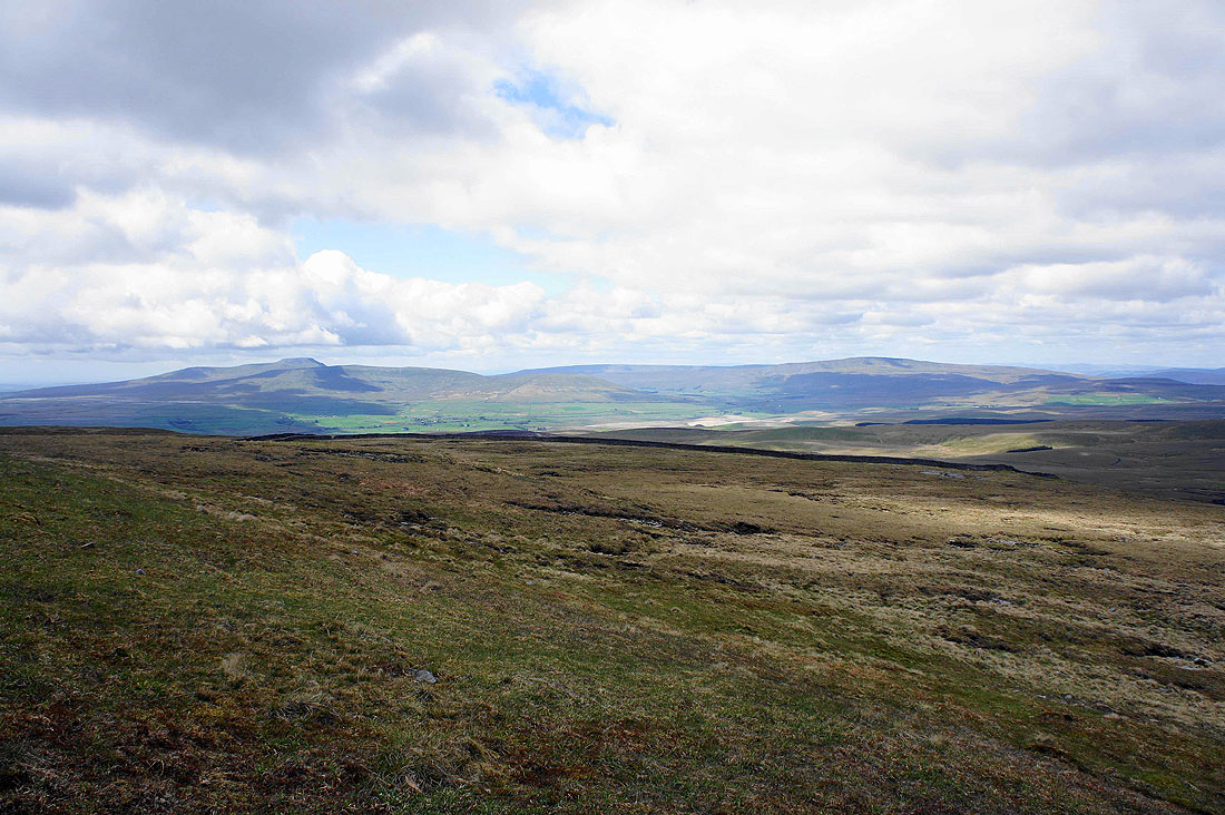
Views from Plover Hill just before commencing the descent. Ingleborough and Whernside.
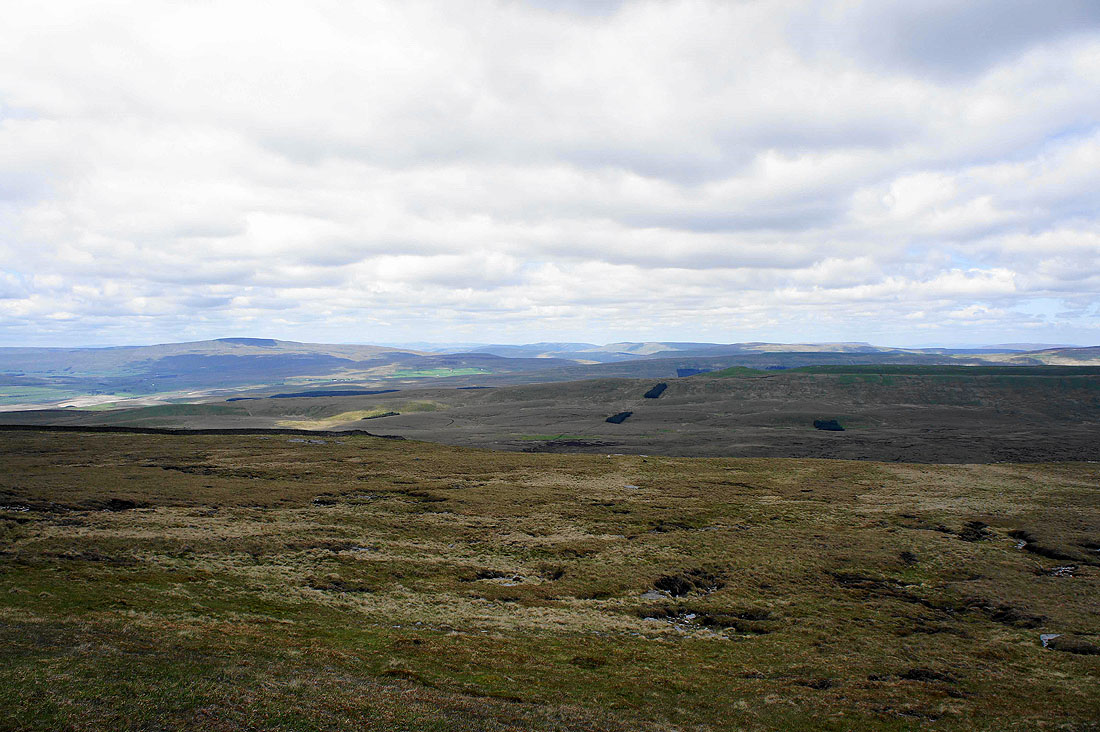
Whernside, the Howgills, Baugh Fell and Great Knoutberry Hill
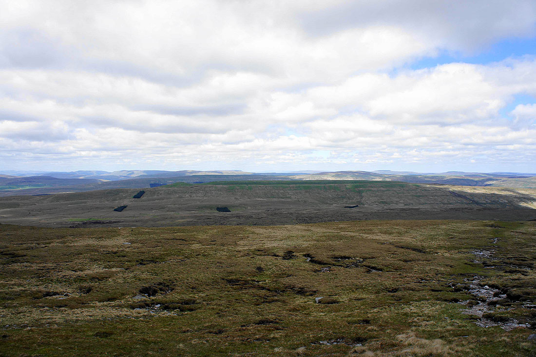
The Howgills, Baugh Fell, Great Knoutberry Hill and Dodd Fell Hill
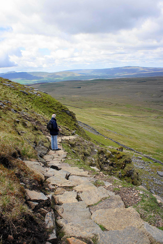
Descending the pitched path to Foxup Moor
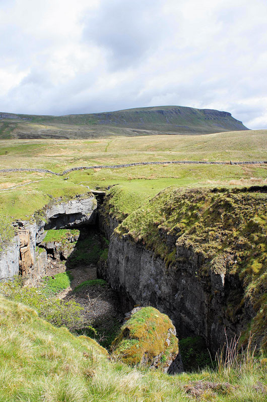
The big hole in the ground that is Hull Pot
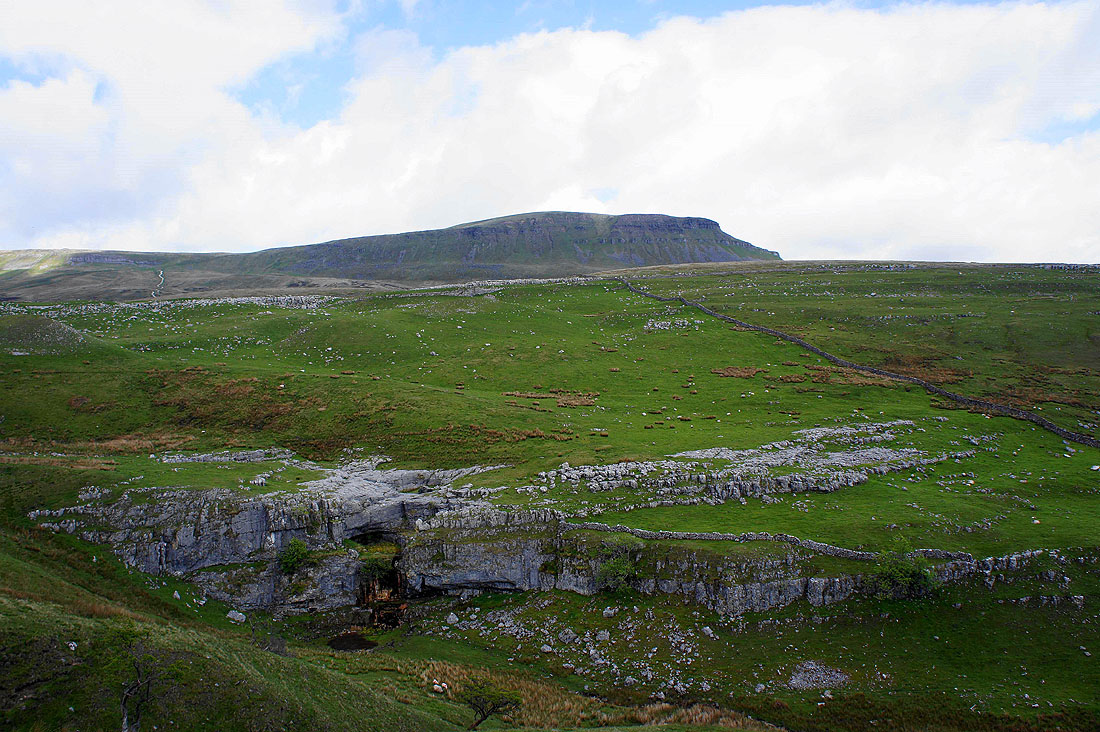
Penyghent above Horton Scar
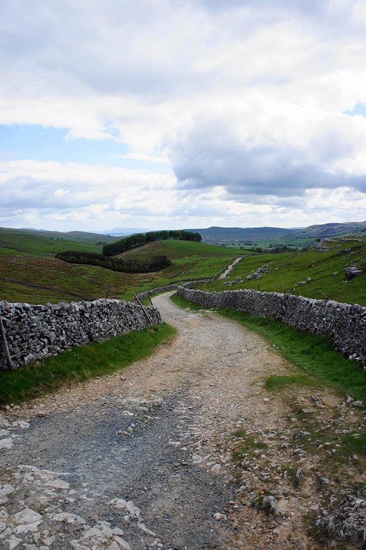
Following Horton Scar Lane back to Horton
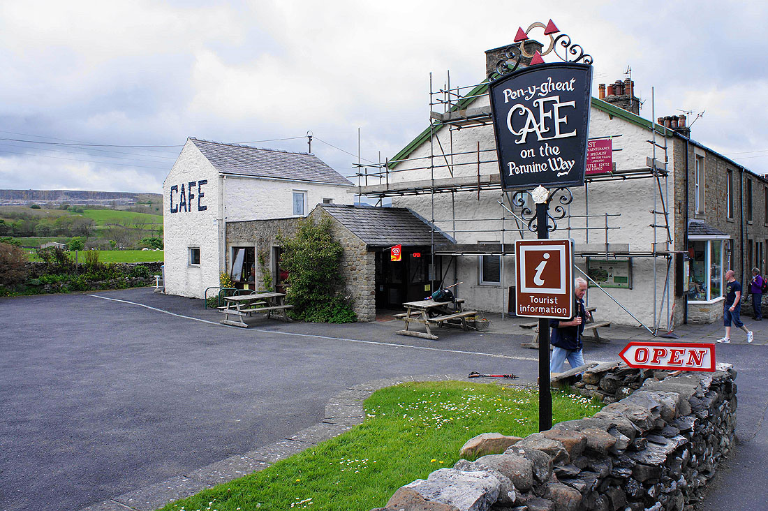
Time for refreshments