2nd June 2023 - Easington Fell
Walk Details
Distance walked: 9.8 miles
Total ascent: 1431 ft
OS map used: OL41 - Forest of Bowland & Ribblesdale
Time taken: 5 hrs
Route description: Slaidburn-B6478-Gaughey Hill-Broadhead Farm-Skelshaw Farm-Fell Side Farm-Easington Fell-B6478-Smelt Mill Clough-Stone Fold-B6478-New Laithe-Gibbs-River Hodder-Newton Bridge-River Hodder-Slaidburn
The run of good weather continues, and especially on what for me will be a long weekend, since today is the Friday that I'm not at work. I decided to stay relatively close to home for today's walk as I headed to Slaidburn in the Forest of Bowland. The route that I decided to do would take me up onto Easington Fell, down to the River Hodder at Newton, and then back to Slaidburn by the river, one that I've done several times. To make the walk a bit longer I took in the summit of Easington Fell, which I'd never done before, and a bit of the moorland and fields to the west of the B6478 before making my way down to the River Hodder. These additions were well worth the effort on what turned out to be a glorious early summer's day, with wall-to-wall blue skies, warm sunshine, and a gentle breeze.
I set off from the car park in Slaidburn by walking across the bridge over the River Hodder, then up the road and round the sharp left hand bend until I reached a public footpath on the right, which I took south across fields and down to a lane. I went straight across the road and down the drive to Broadhead Farm, through the farmyard and then south across fields to Skelshaw Farm. A track then took me up to Fell Side Farm, up onto Easington Fell, and then across the fell towards the Waddington to Newton road until I reached another track joining it from the left, which I took up to the wall running across the moor above. The track ended here, and I followed the wall to the left and then a clear path that took me to a cairn that marks the top of Easington Fell. After taking in the view I made my way back down to the wall, where I stopped for lunch, and once I'd had this break I retraced my steps back down to the track across the fell, which I followed out to the Waddington to Newton road. I then had a walk down the road to reach a track on the left, which I took and followed down to Lower Underhand Farm and across the hillside to Stone Fold. From Stone Fold I took a footpath down through fields to the B6478 from where I took a track down past New Laithe, and then a footpath down through fields to Gibbs, and along its access track to a road. I crossed the road and took the footpath opposite and followed it down through fields to the banks of the River Hodder, and then east to Newton Bridge. After crossing Newton Bridge a riverside walk took me back to Slaidburn.
Route map

© Crown copyright. All rights reserved. License number PU 100034184.

Leaving Slaidburn as I cross the bridge over the River Hodder
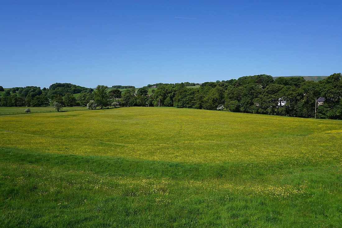
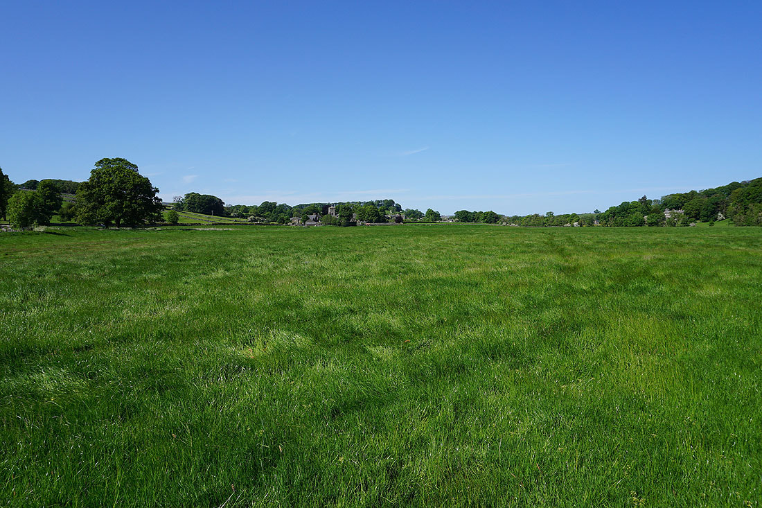
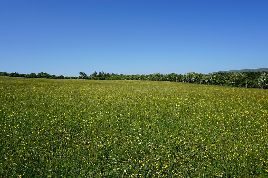
The first of many buttercup filled fields that I'll pass today
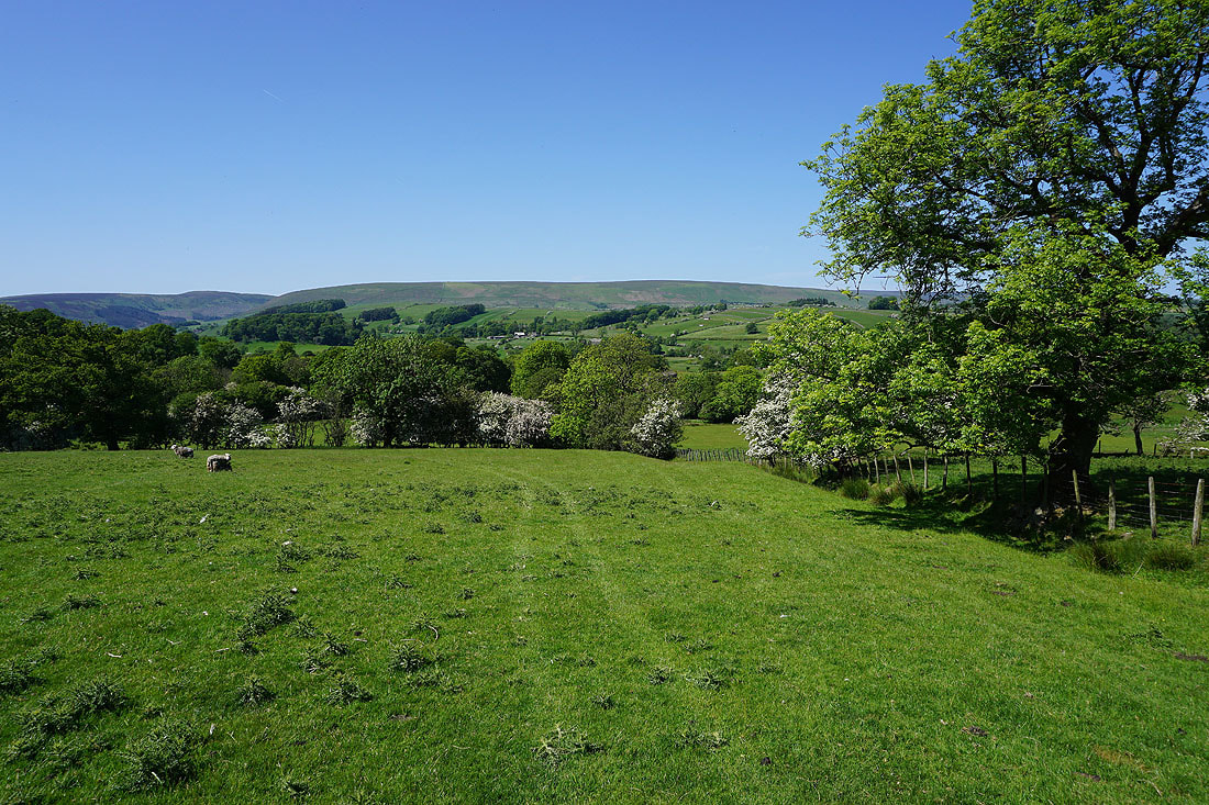
Looking back on Slaidburn as I take the footpath across Gaughey Hill..
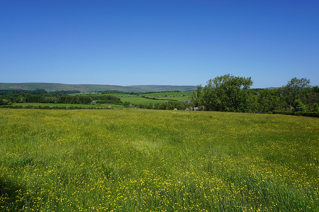
Blue skies above summer meadows
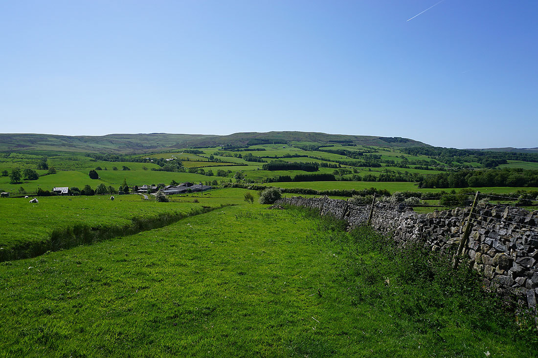
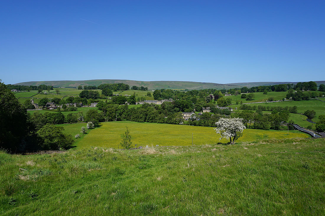
Easington Fell is in sight. I'll cross the road just below and head through Broadhead Farm on the left

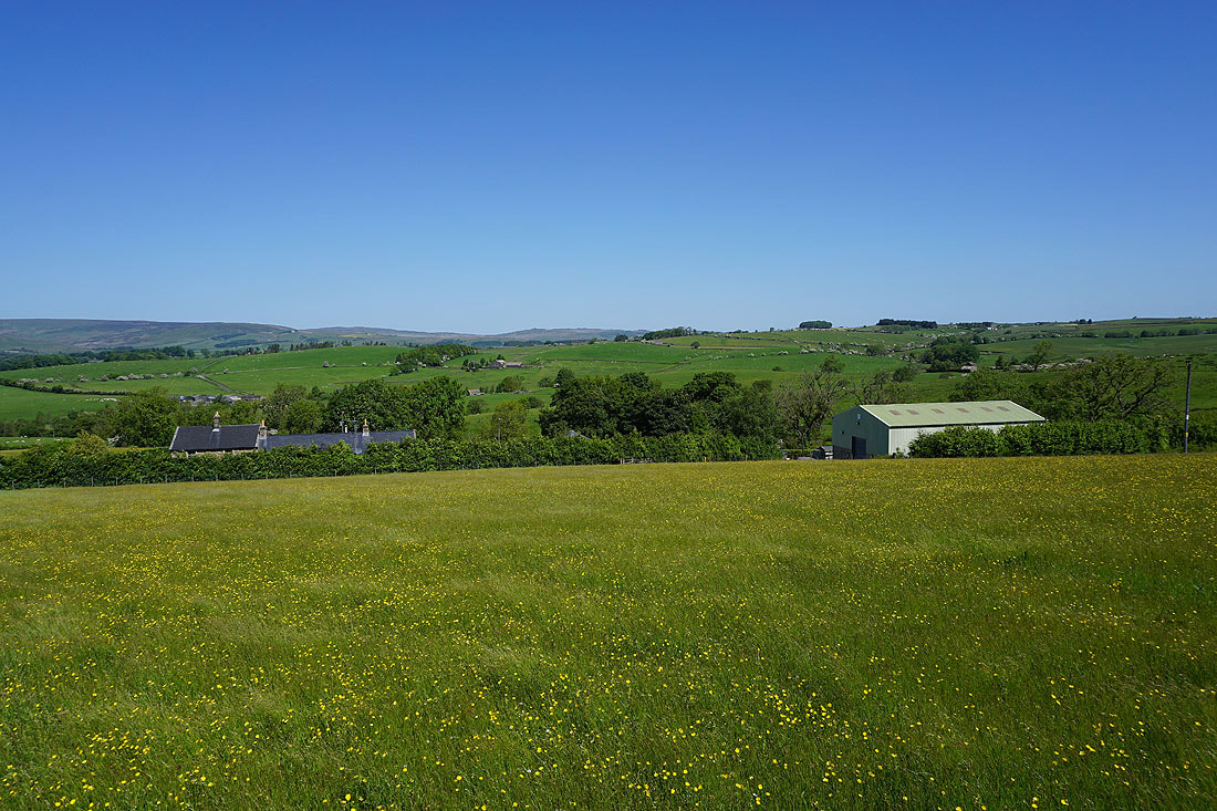
Summer sunshine on the meadows at Broadhead Farm..
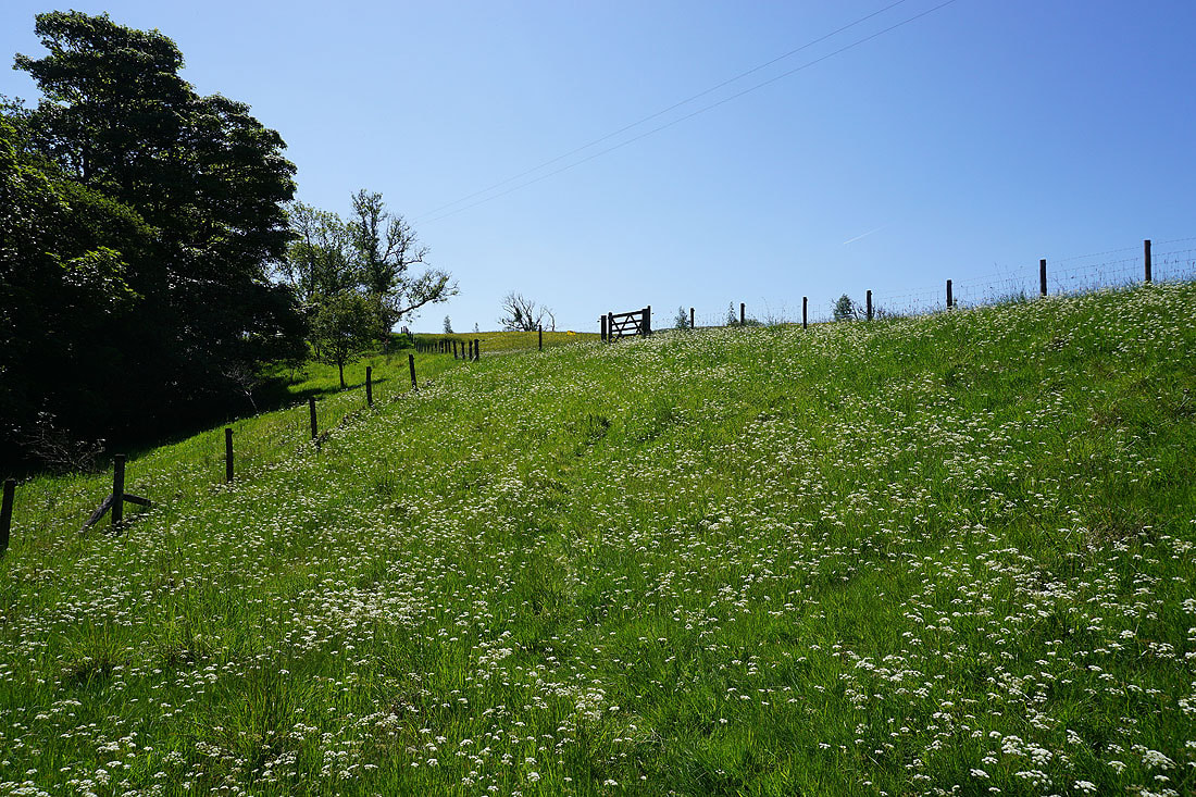
Taking the footpath up to Skelshaw Farm
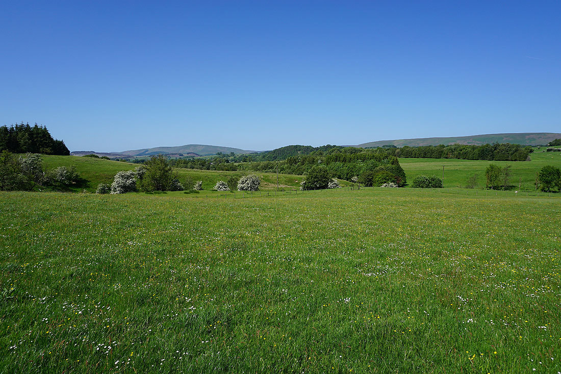
Buttercup filled fields above Skelshaw Farm...
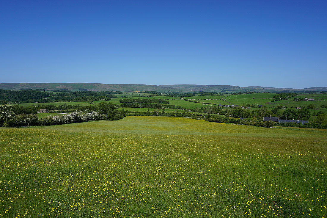
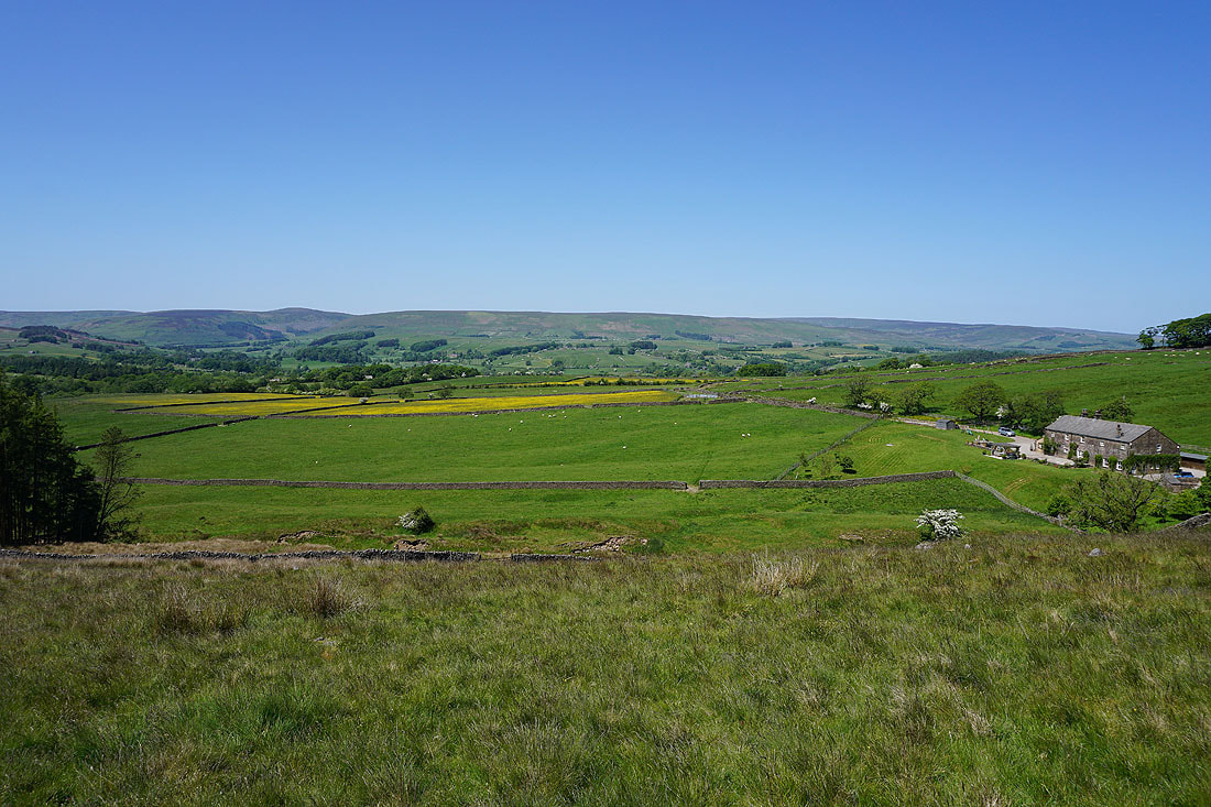
Looking across the valley of the River Hodder to Dunsop Fell, White Hill, and Catlow Fell
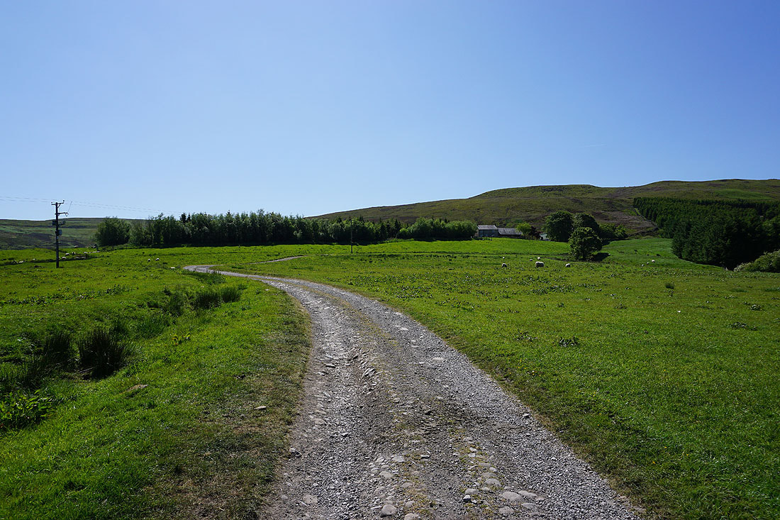
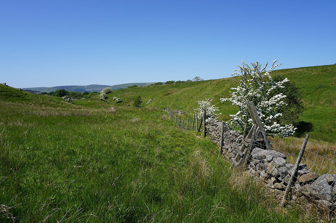
Heading up to Fell Side Farm below Easington Fell
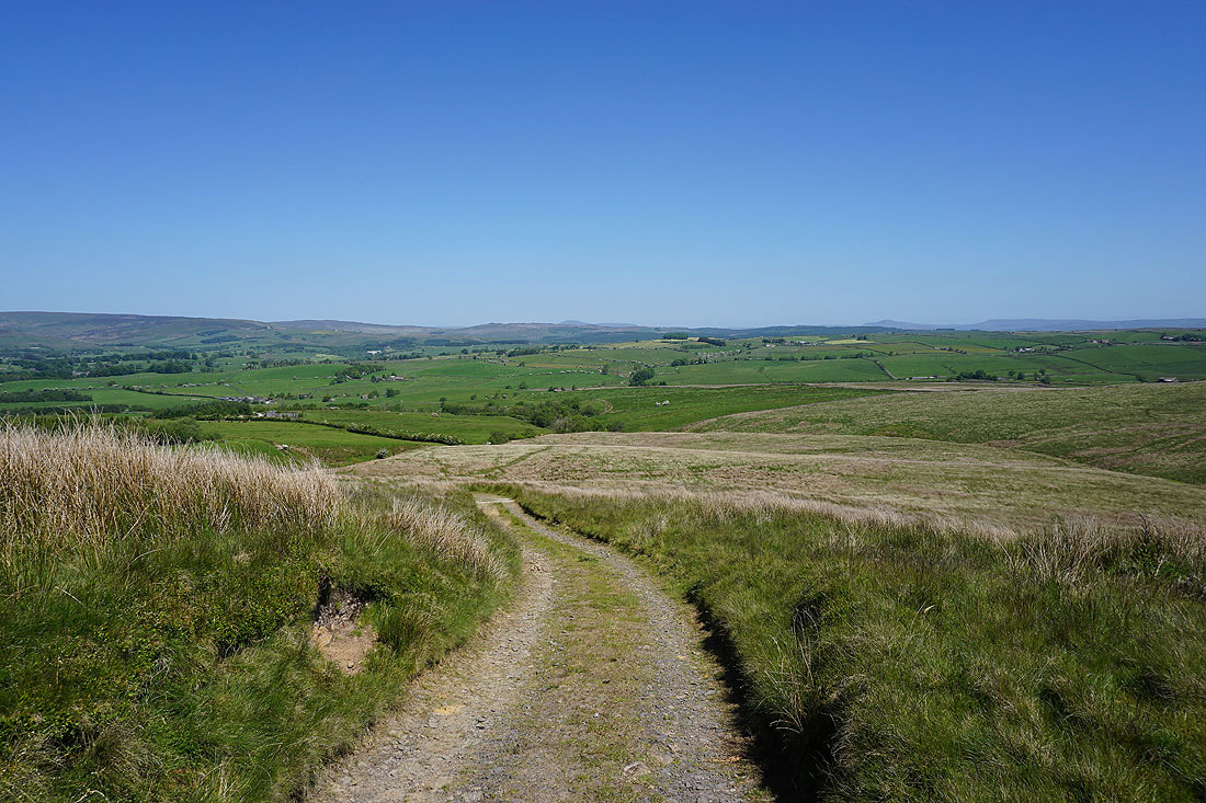
Looking back from the track up onto Easington Fell and there are views beyond Bowland to Ingleborough, Penyghent and Fountains Fell
Following the track up onto Easington Fell and the quarry on Waddington Fell comes into view..

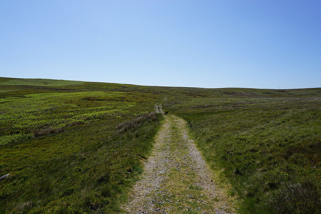
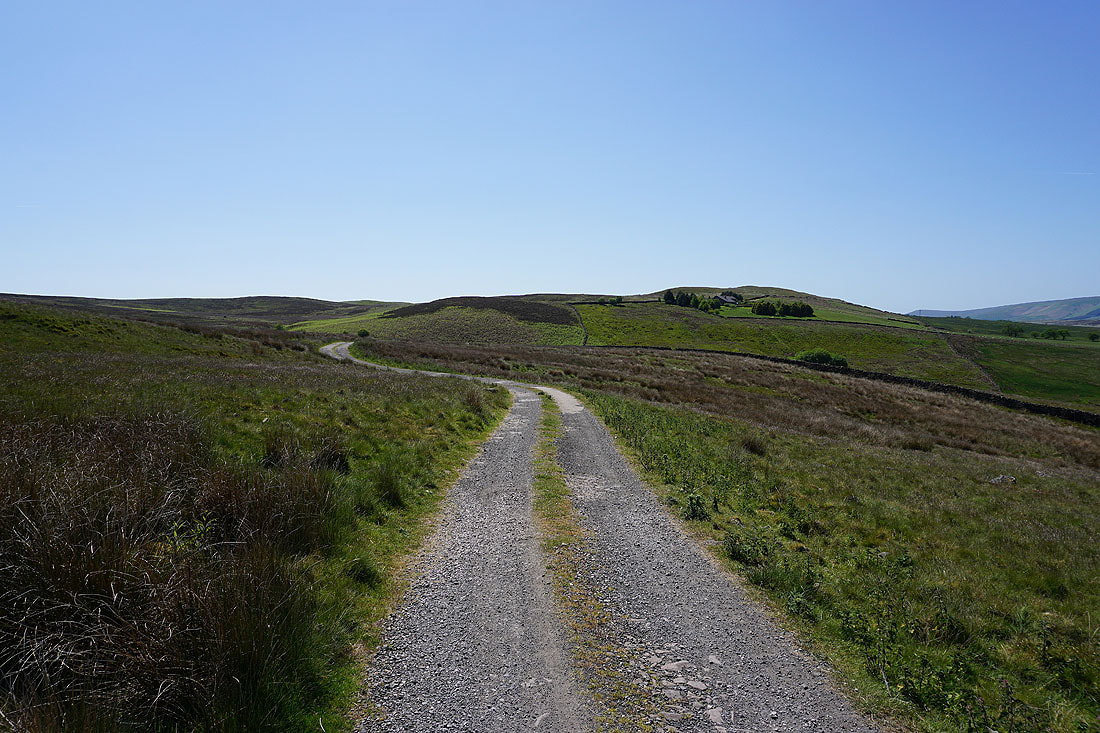
Instead of following the track out to the Waddington to Newton road, which I've always done before, I take a track up towards the top of Easington Fell
As I reach its top Pendle Hill comes into view on the other side of the Ribble Valley
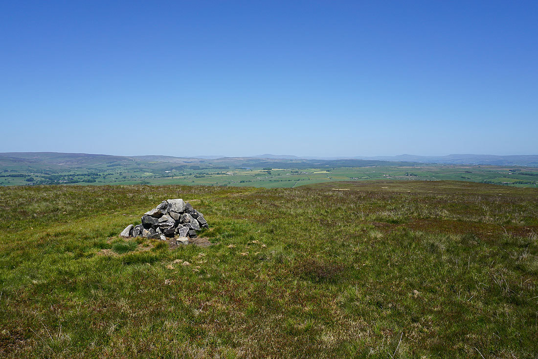
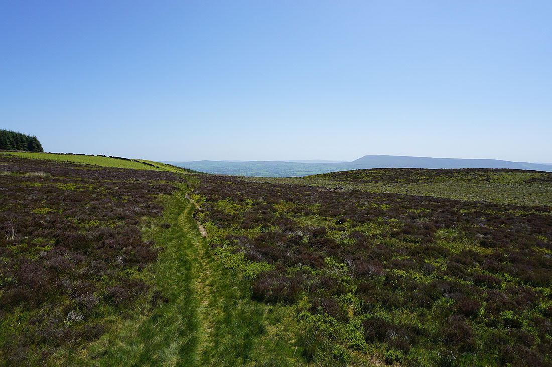
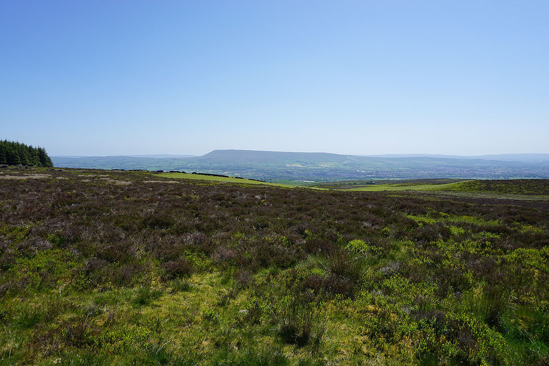
A short walk from the track and I reach a cairn which marks the top of Easington Fell. I have a great view across the Hodder Valley and Gisburn Forest to Ingleborough, Penyghent, Fountains Fell, Rye Loaf Hill, and Barden Moor in the Yorkshire Dales..
and of Waddington Fell on the left, and Parlick, Fair Snape Fell, and Totridge on the right
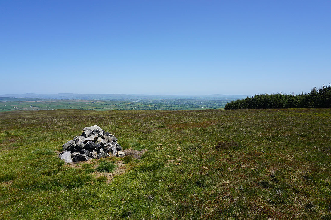
Back to where I left the track, and looking across Bradford Fell and down into the Ribble Valley to Clitheroe. The wall provided a good place to sit down and have my lunch.
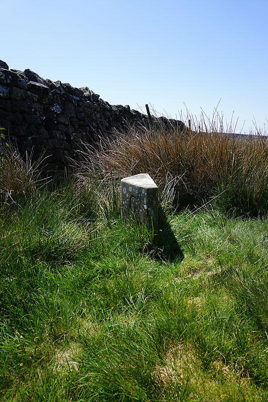
A boundary stone. I think the G on this side is for Grindleton.
Pendle Hill on the other side of the Ribble Valley

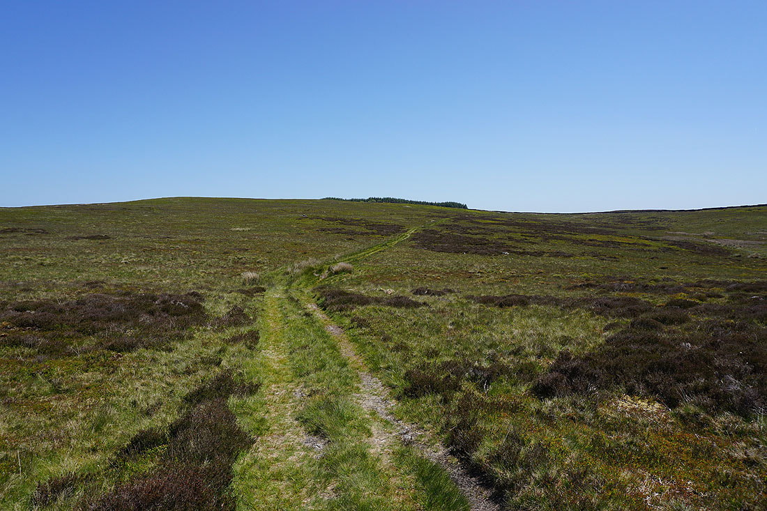
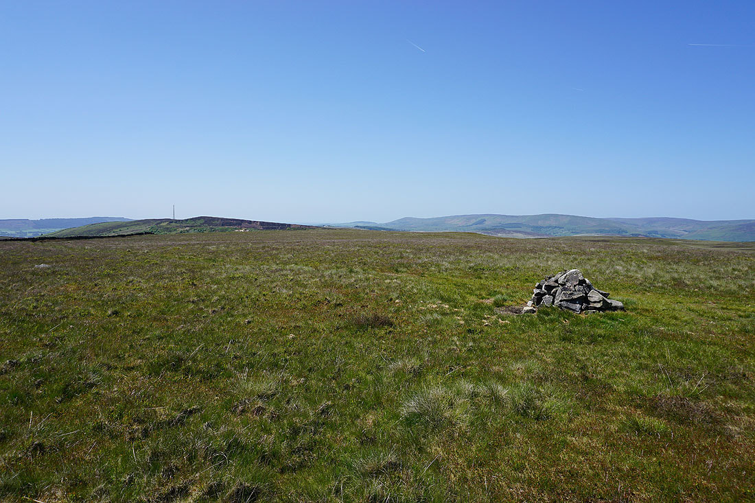
After that detour to the top of Easington Fell I return to the track out to the Waddington to Newton road. Parlick, Fair Snape Fell and Totridge in the distance as the track heads towards the road.
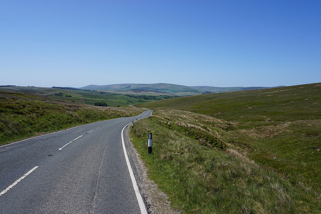
A short walk down the road towards Newton until I reach a track on the left..
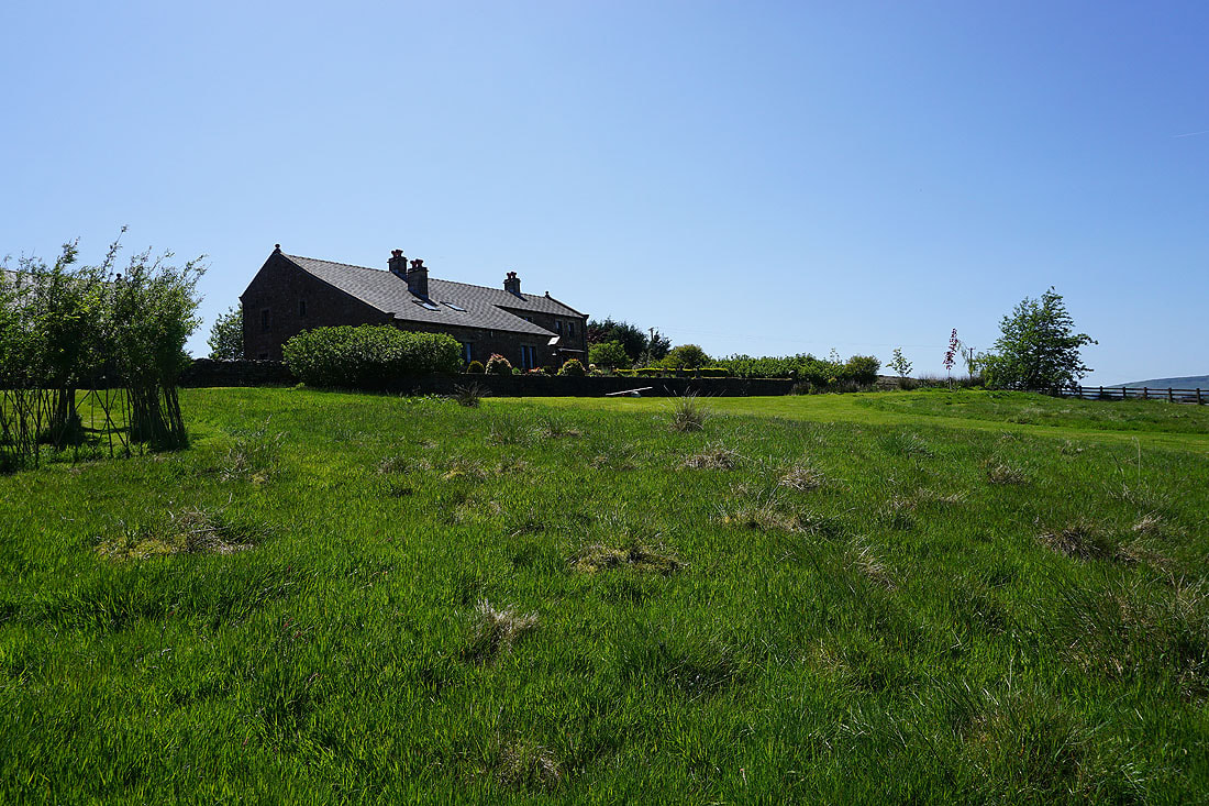
..down to Lower Underhand Farm
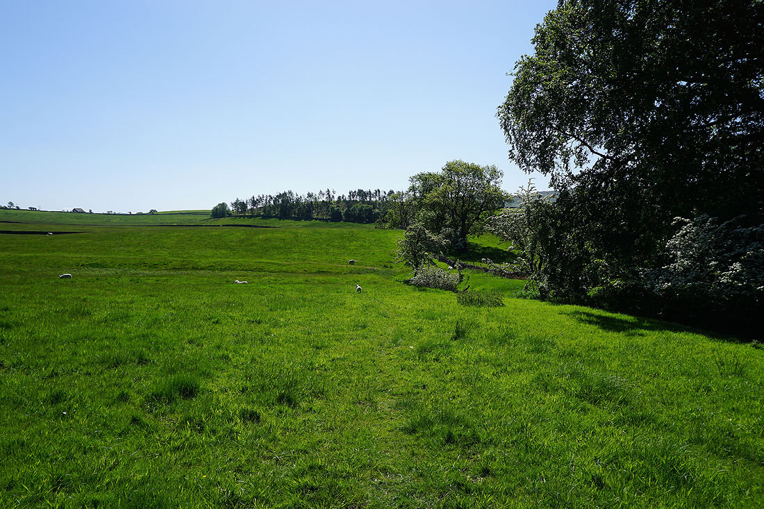
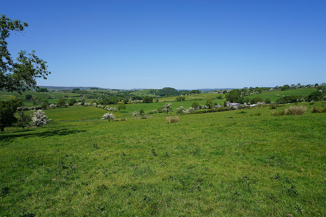
Above Lower Underhand Farm, and looking across the Hodder Valley to Whins Brow and Dunsop Fell..
..as I follow the track towards Stone Fold
At Stone Fold. It took me a while to find the course of the public footpath through here.
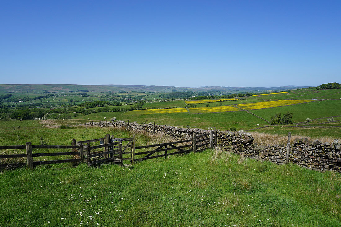
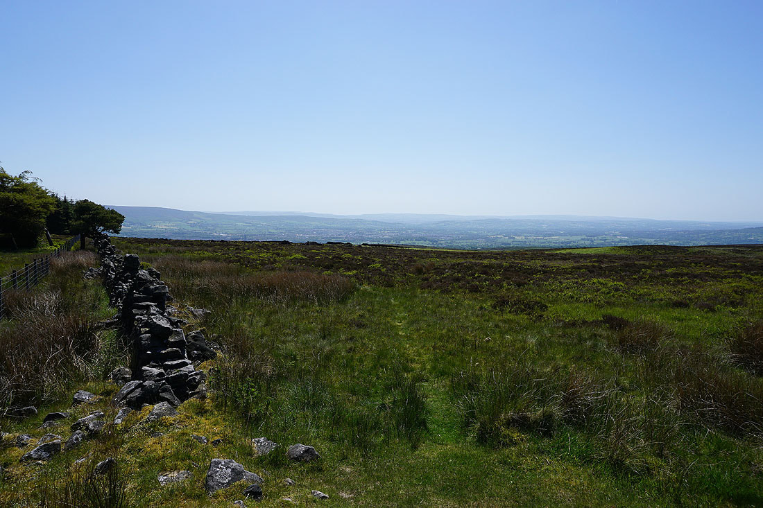
I have a fantastic view of the Hodder Valley as I follow the footpath downhill
Down in Smelt Mill Clough and this ladder stile helped me keep to the line of the public footpath, as well as get over the wall
The footpath joins a track as it approaches the road down to Newton

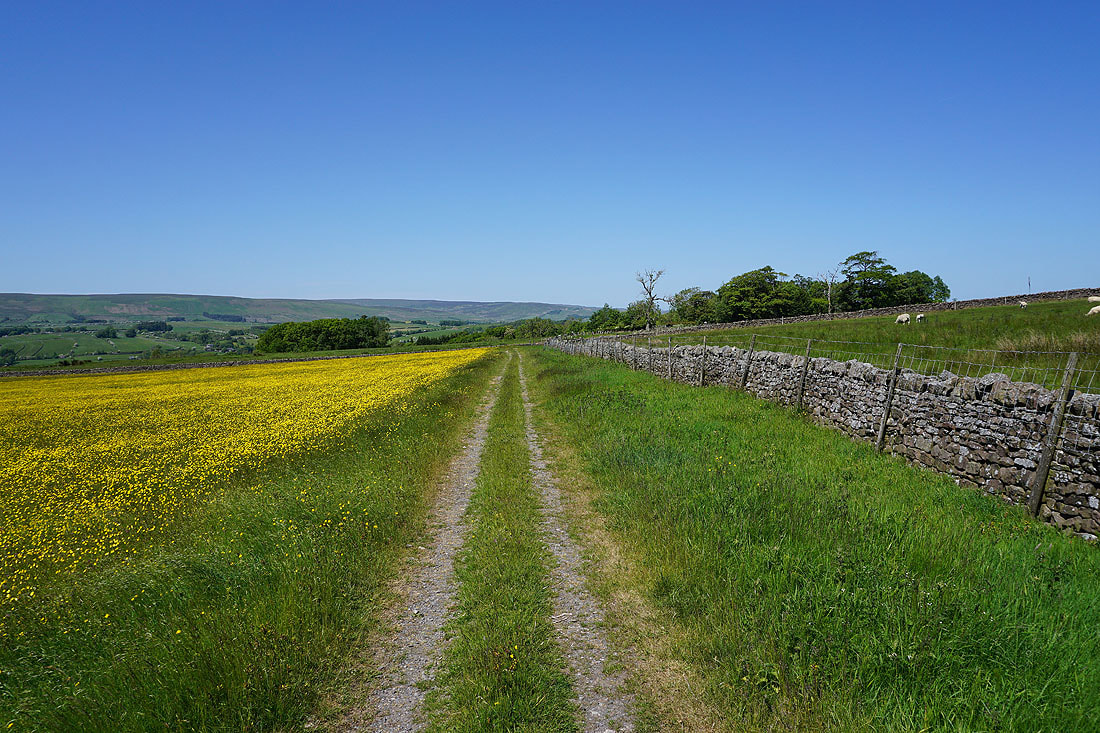
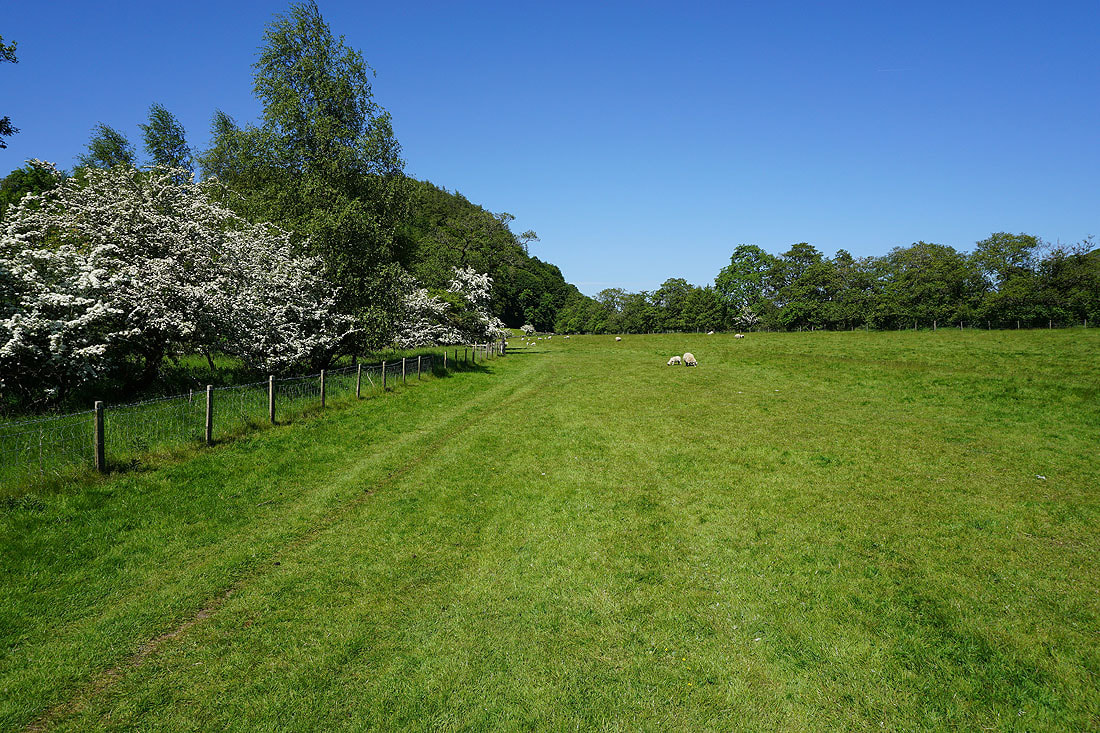
To my left, a sea of yellow, with the fells of Totridge and Whins Brow in the distance
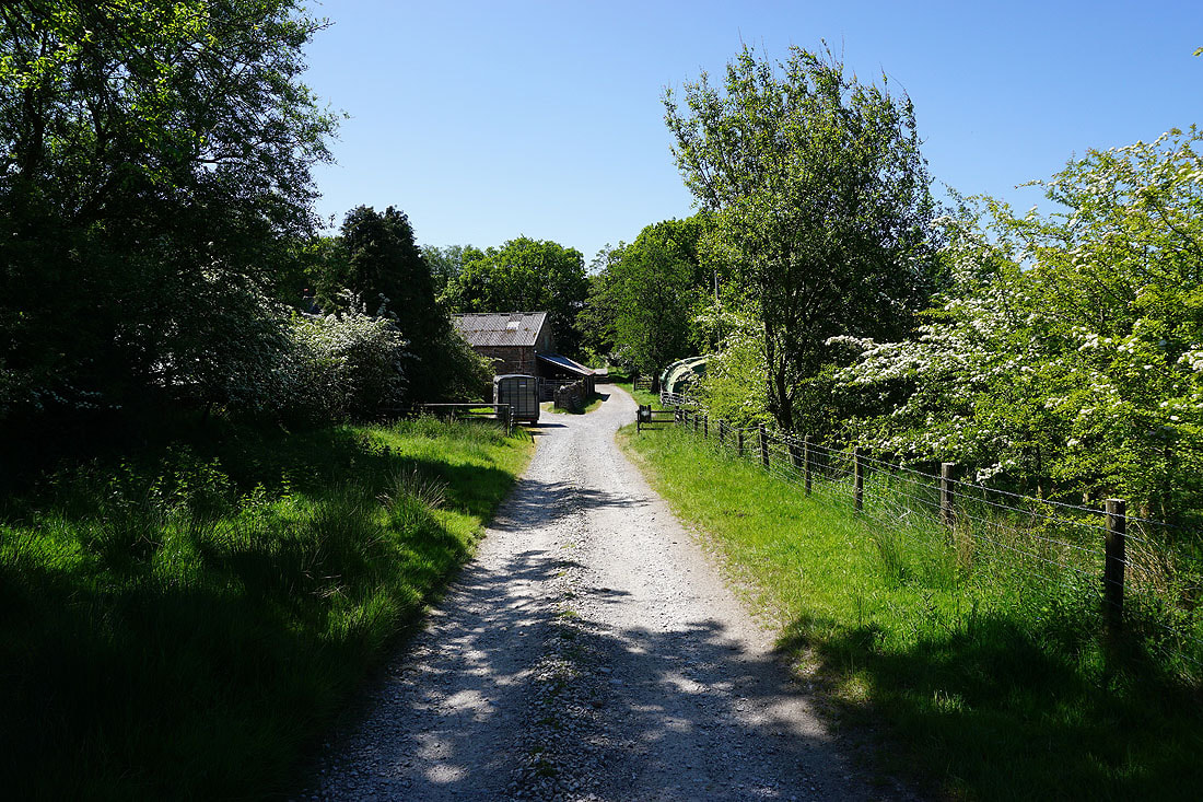
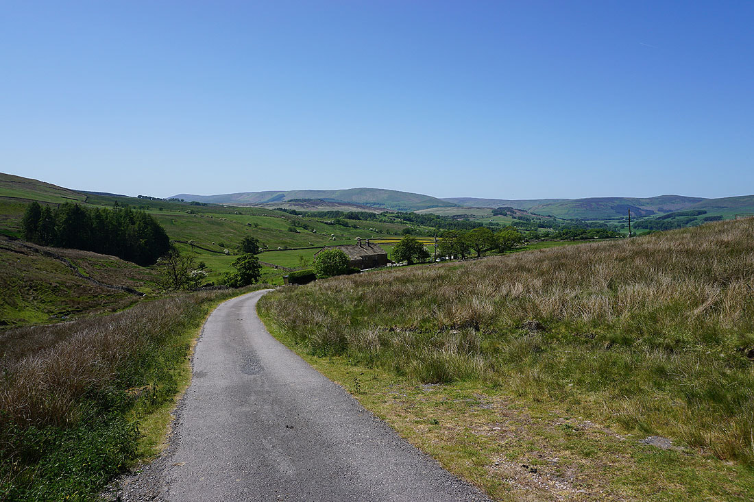
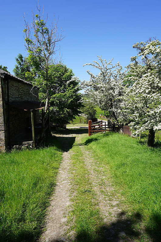
After reaching the road down to Newton I take a public footpath along a track down past New Laithe
Past New Laithe and the footpath leaves the track and I follow it down through fields..
Through Gibbs Farm and out to the road across to Cow Ark

Having crossed the road I take the footpath opposite down through fields to the River Hodder..

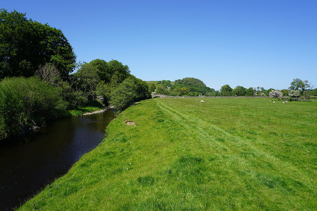
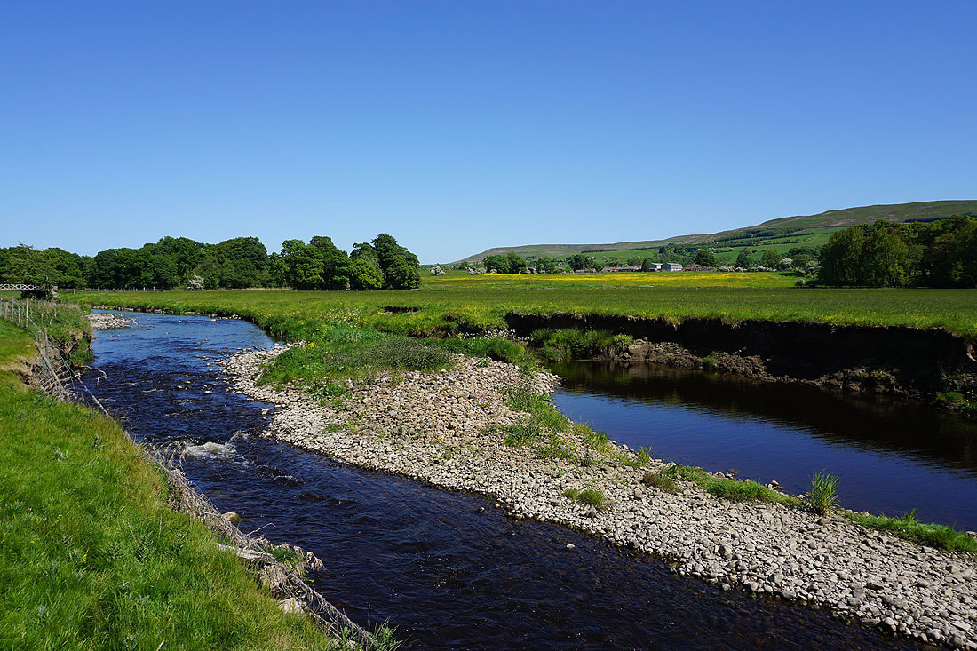
By the River Hodder to Newton Bridge..
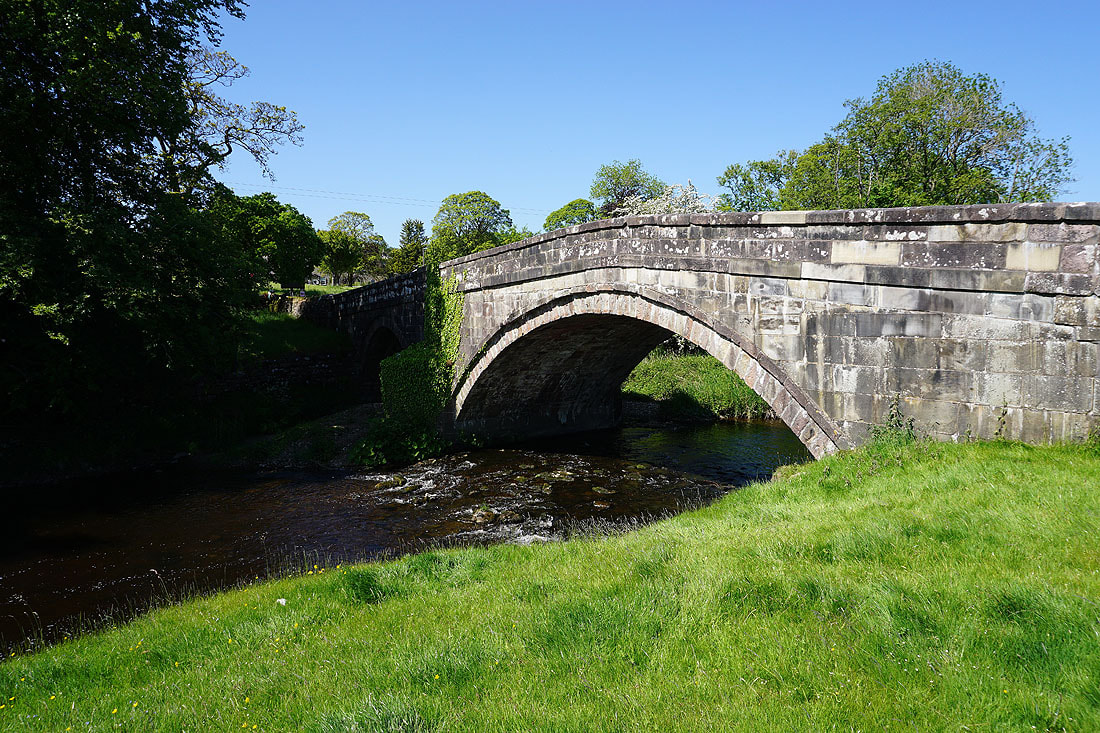
Newton Bridge. I'll cross over and follow the path back to Slaidburn.
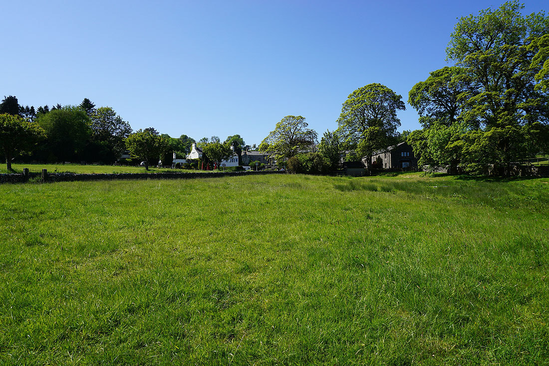
The white building is the Parkers Arms in Newton-in-Bowland
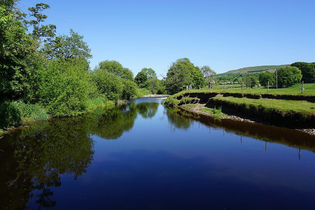
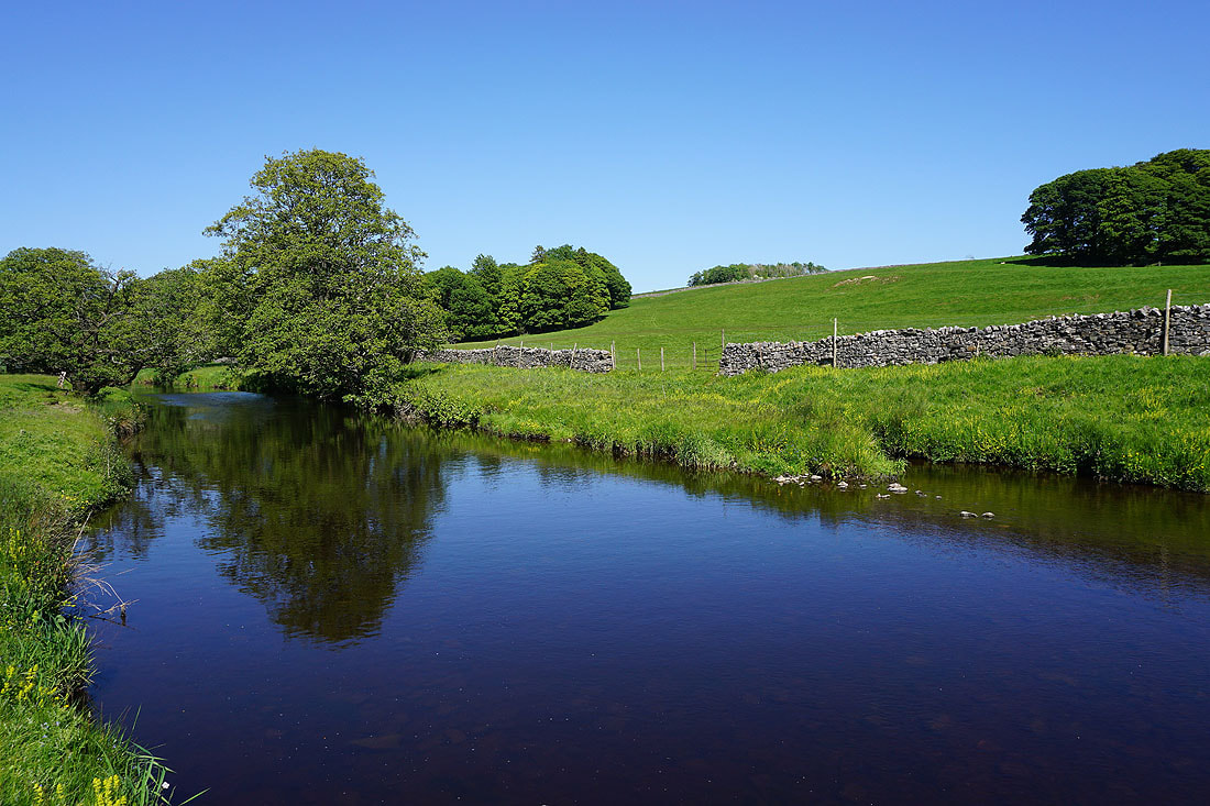
A short distance upstream and there's a fantastic view of the river
Heading under the wooded hill of Great Dunnow
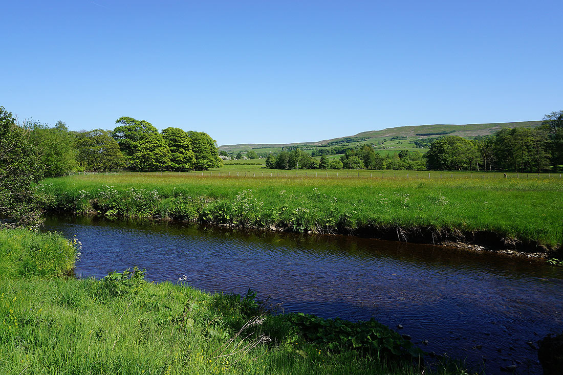
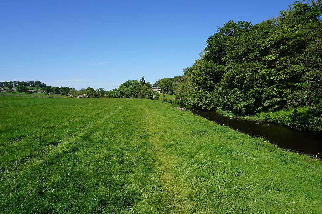
Following the path by the River Hodder back to Slaidburn......