2nd March 2013 - Shining Tor & the Vale of Goyt
Walk Details
Distance walked: 11.9 miles
Total ascent: 2167 ft
OS map used: OL24 - The Peak District, White Peak area
Time taken: 6.5 hrs
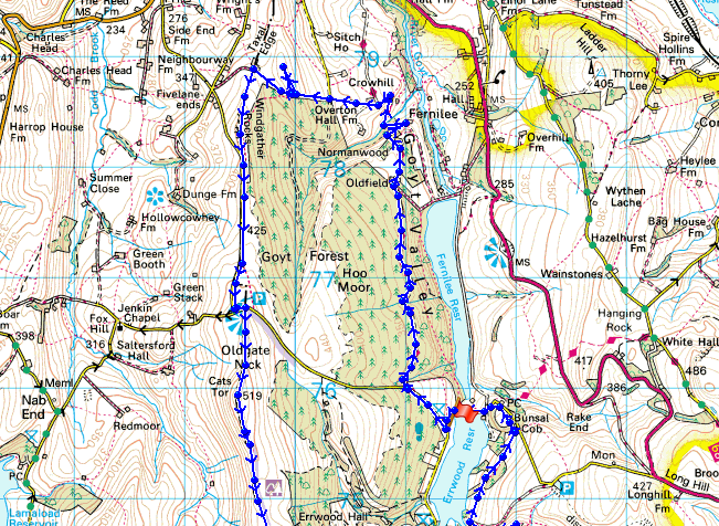
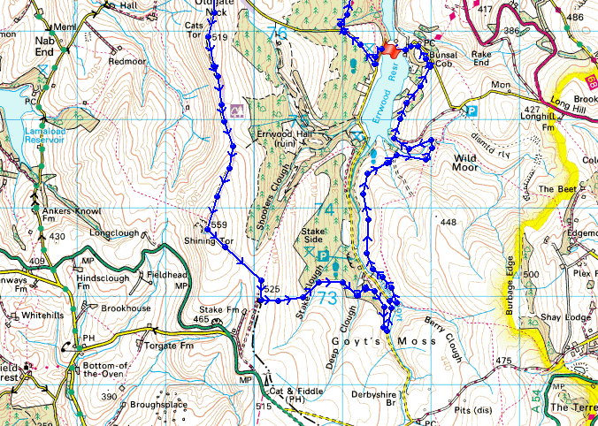
Route description: Errwood Reservoir-The Street-Midshires Way-Overton Hall Farm-Taxal Edge-Windgather Rocks-Cats Tor-Shining Tor-Stake Clough-Deep Clough-Goyt's Clough-Errwood Reservoir
A fine springlike day for my first walk of the year in the Peak District.
From the car park by Errwood Reservoir a short road walk up "The Street" brought me to a track that heads down the Goyt Valley through the trees of Goyt Forest. When I reached Overton Hall Farm it was time to head uphill for Taxal Edge and Windgather Rocks. The next part of the walk was along the ridgeline to Cats Tor and the high point of the walk, Shining Tor. My route back was down into Goyt's Clough and a walk above Errwood Reservoir.
Total ascent: 2167 ft
OS map used: OL24 - The Peak District, White Peak area
Time taken: 6.5 hrs
Route description: Errwood Reservoir-The Street-Midshires Way-Overton Hall Farm-Taxal Edge-Windgather Rocks-Cats Tor-Shining Tor-Stake Clough-Deep Clough-Goyt's Clough-Errwood Reservoir
A fine springlike day for my first walk of the year in the Peak District.
From the car park by Errwood Reservoir a short road walk up "The Street" brought me to a track that heads down the Goyt Valley through the trees of Goyt Forest. When I reached Overton Hall Farm it was time to head uphill for Taxal Edge and Windgather Rocks. The next part of the walk was along the ridgeline to Cats Tor and the high point of the walk, Shining Tor. My route back was down into Goyt's Clough and a walk above Errwood Reservoir.
Route map
© Crown copyright. All rights reserved. License number PU 100034184.
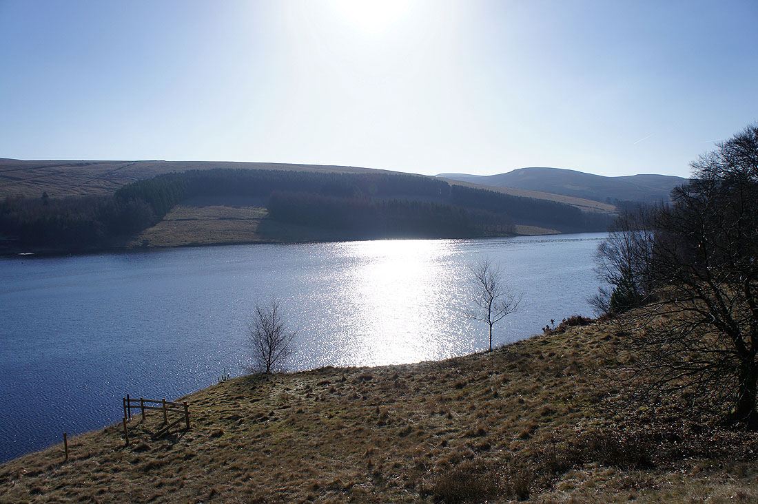
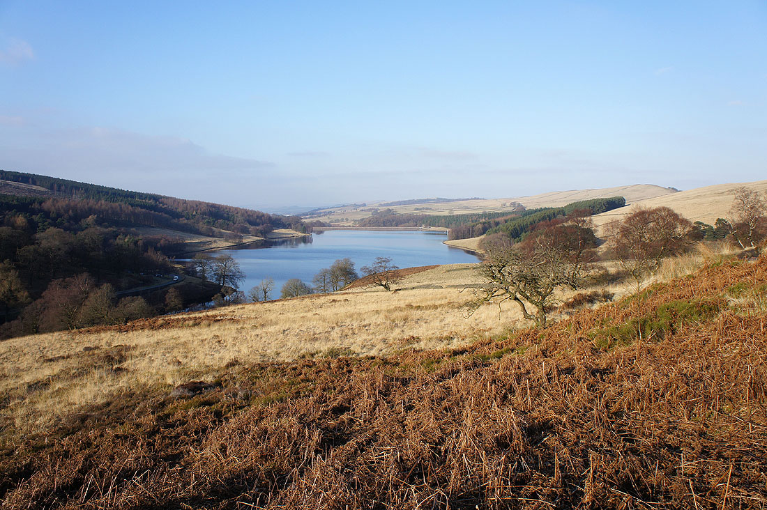
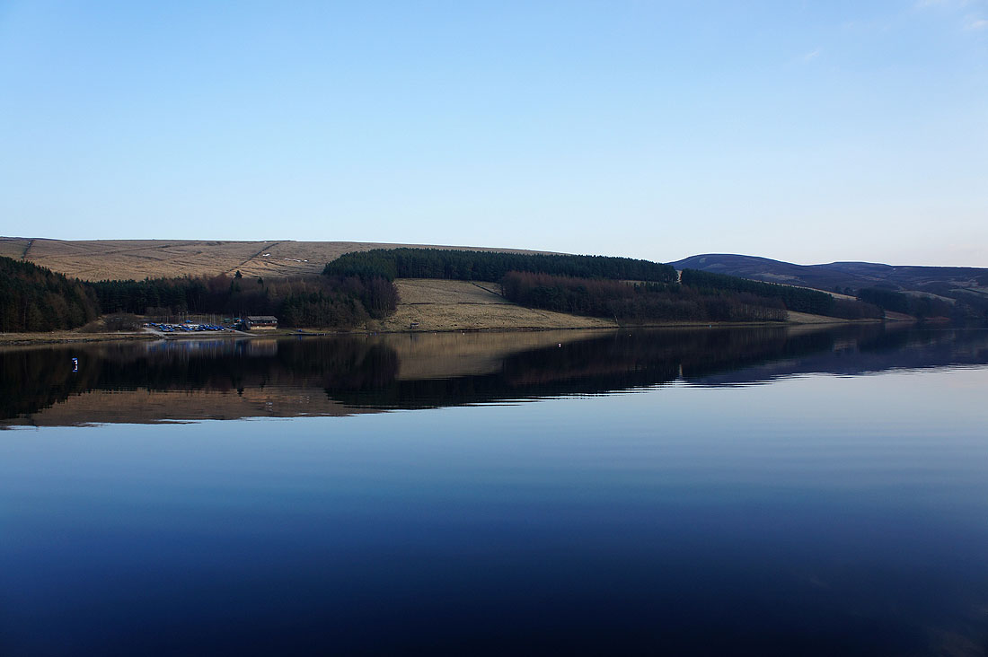
A fine, sunny start to the day by Errwood Reservoir
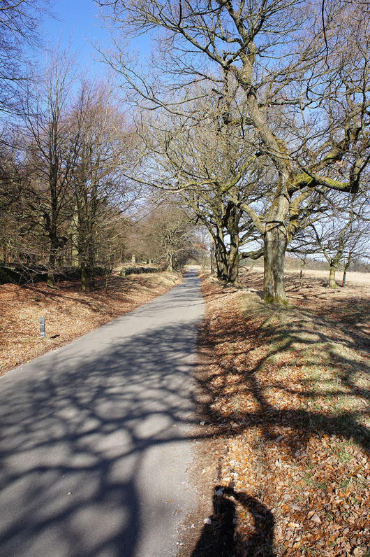
A short road walk up "The Street"
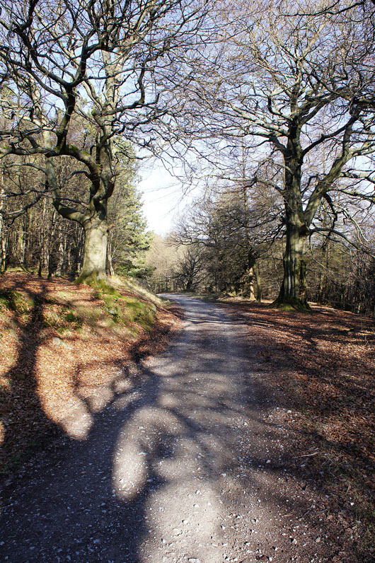
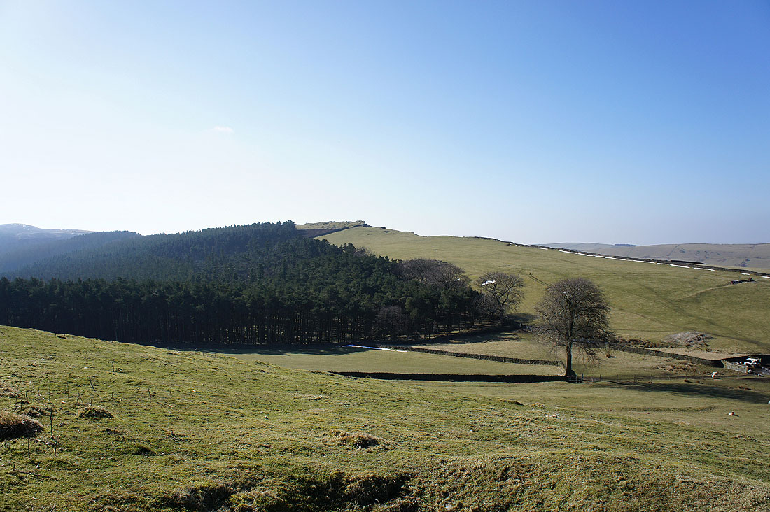
Heading along the track through Goyt Forest
Back out into the open. I'm heading down into Mill Clough and then up to the buildings on the left.
In Mill Clough
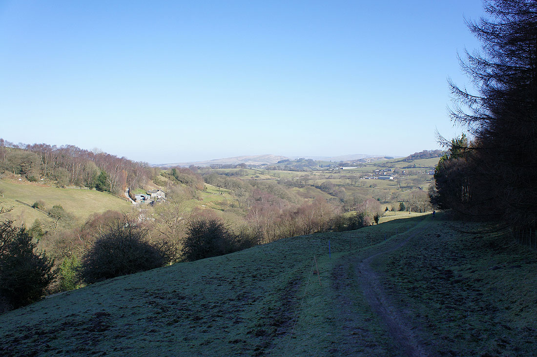
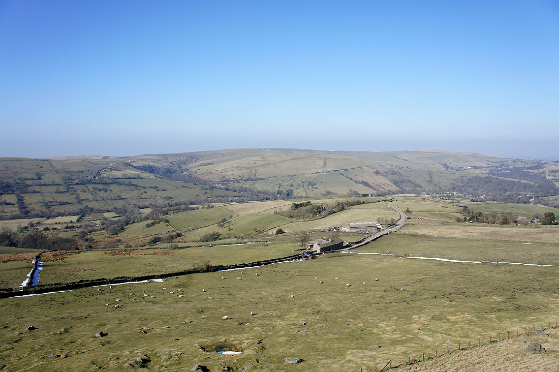
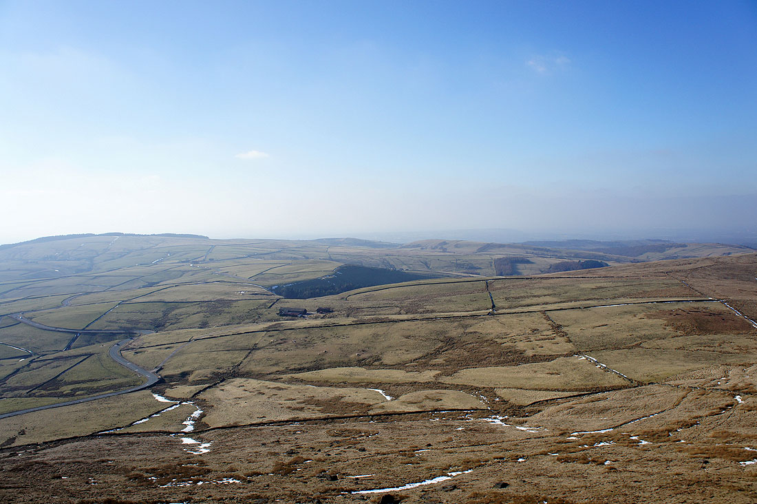
The Vale of Goyt
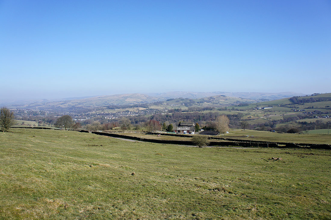
Looking past Crowhill to Chinley Churn and Eccles Pike
Blue skies ahead
I've made a short detour onto Taxal Moor for this view across to Taxal Edge with Windgather Rocks in the middle of the picture
On Windgather Rocks looking north to Whaley Moor
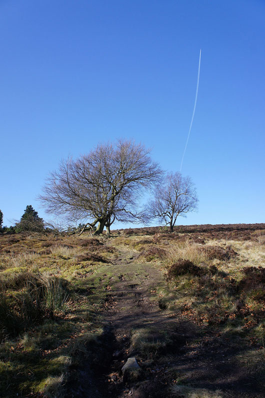
The moors to the west
Cats Tor to the south
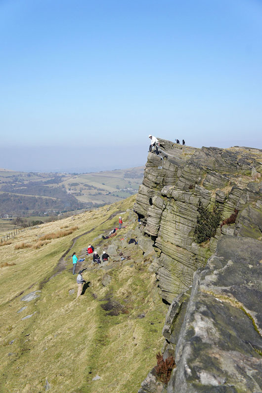
Climbing on Windgather Rocks
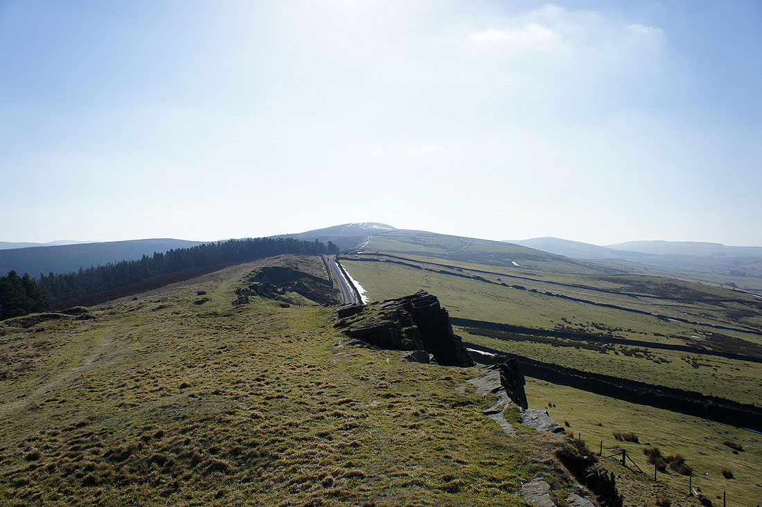
Looking back to Windgather Rocks as I follow the path beside Side End Lane which is on the other side of the wall
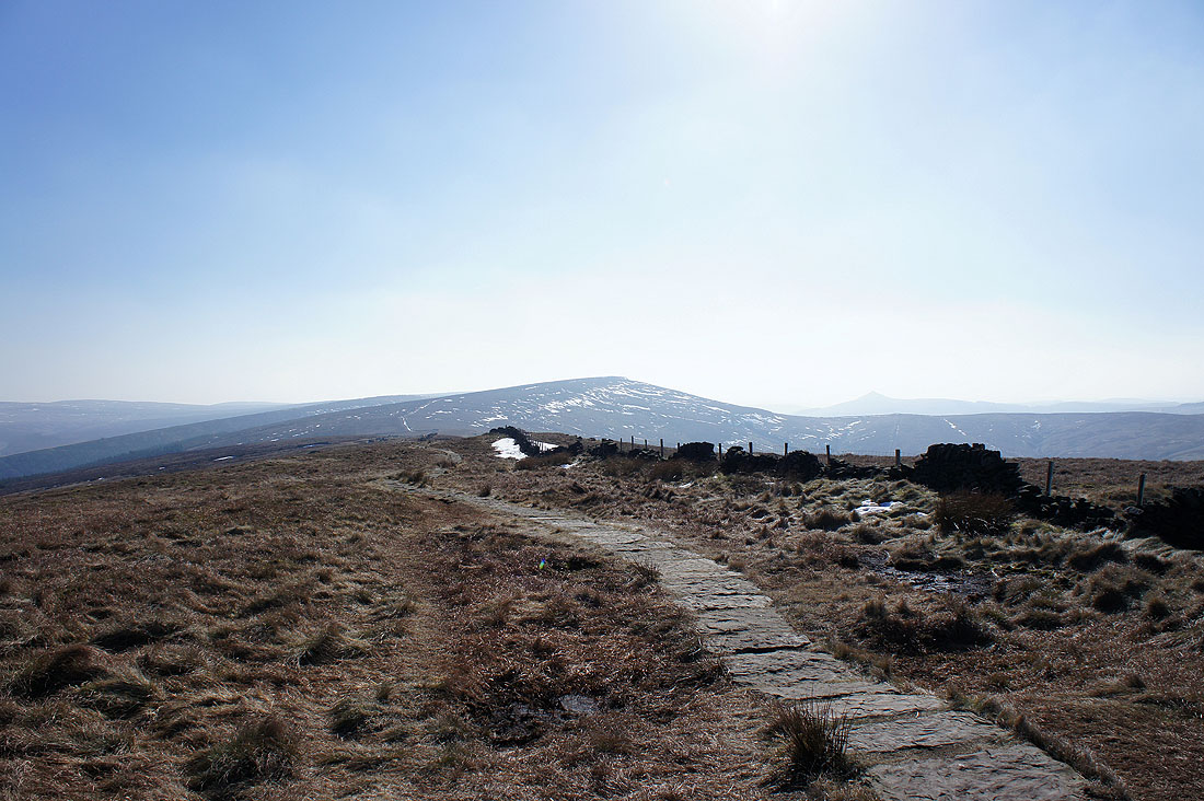
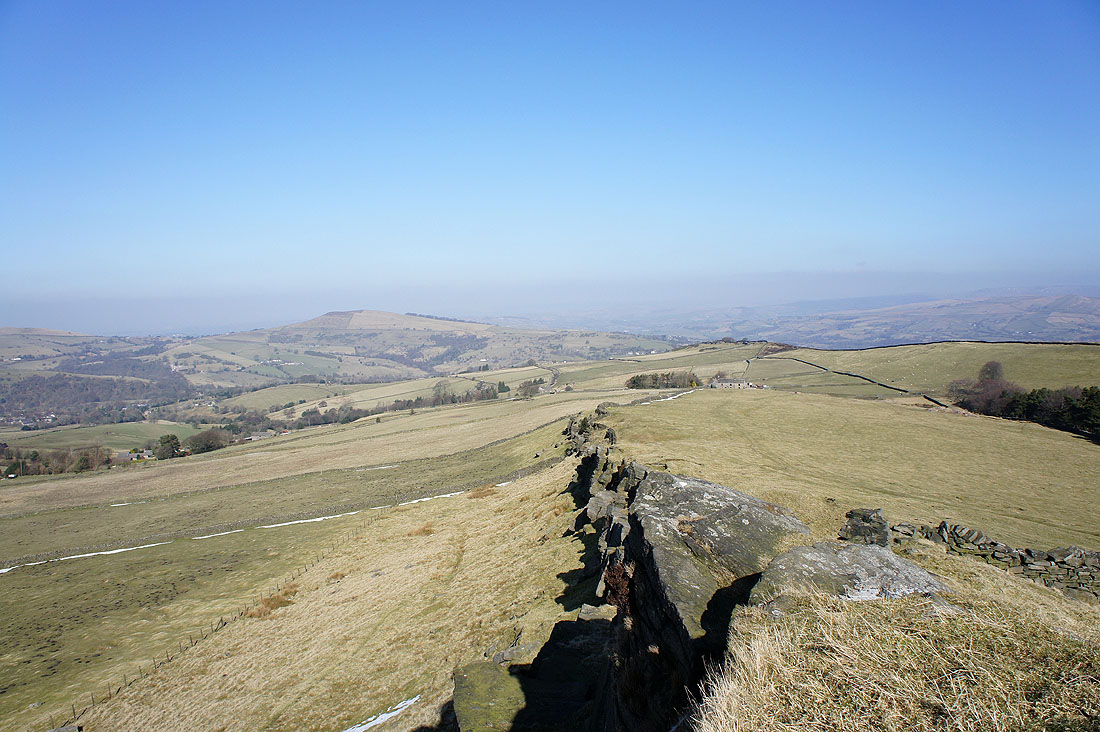
Shining Tor from Cats Tor
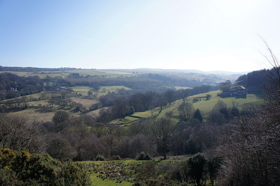
A view down into the Vale of Goyt and Foxlow Edge as I head to Shining Tor
Looking back to Cats Tor
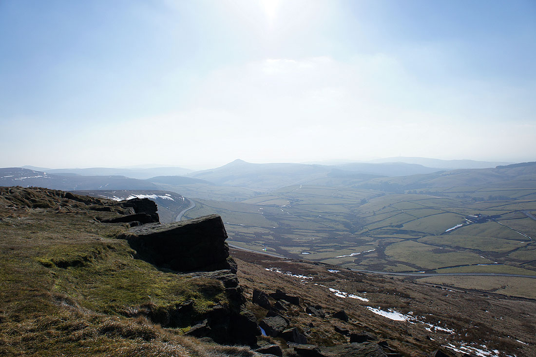
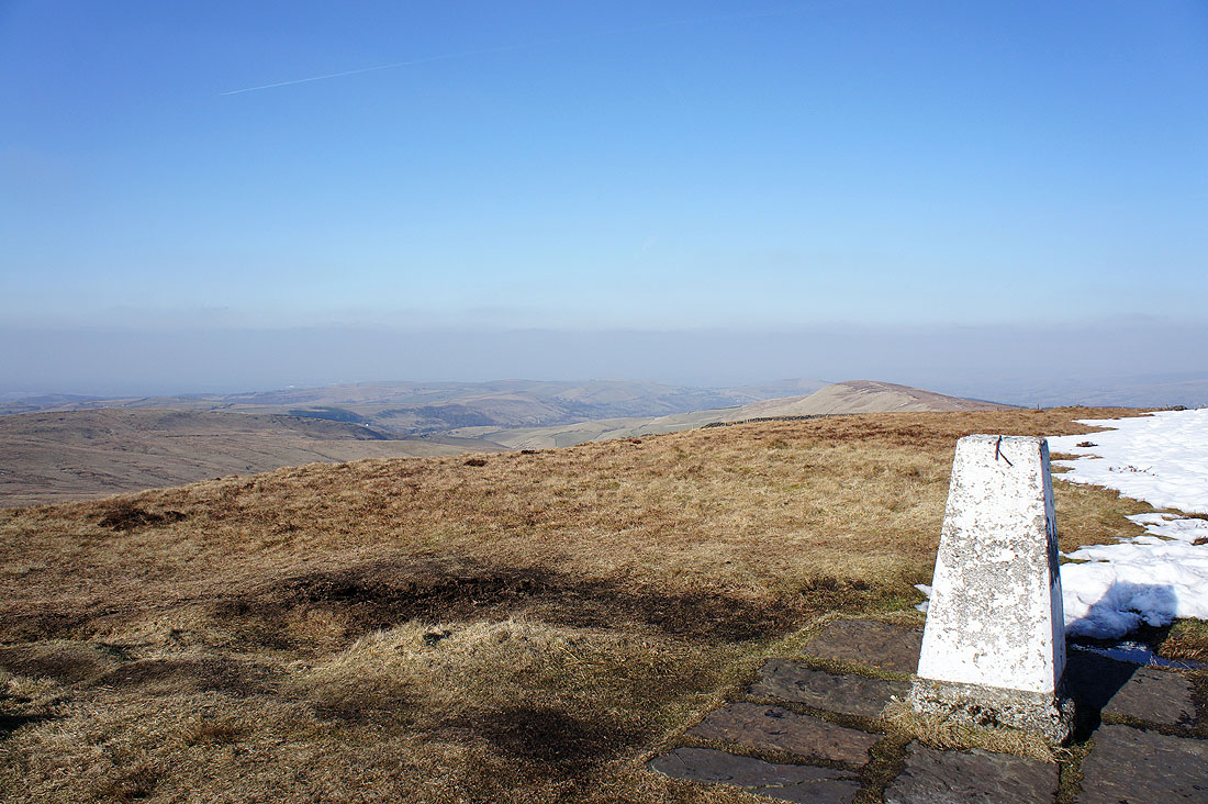
Shutlingsloe from Shining Tor
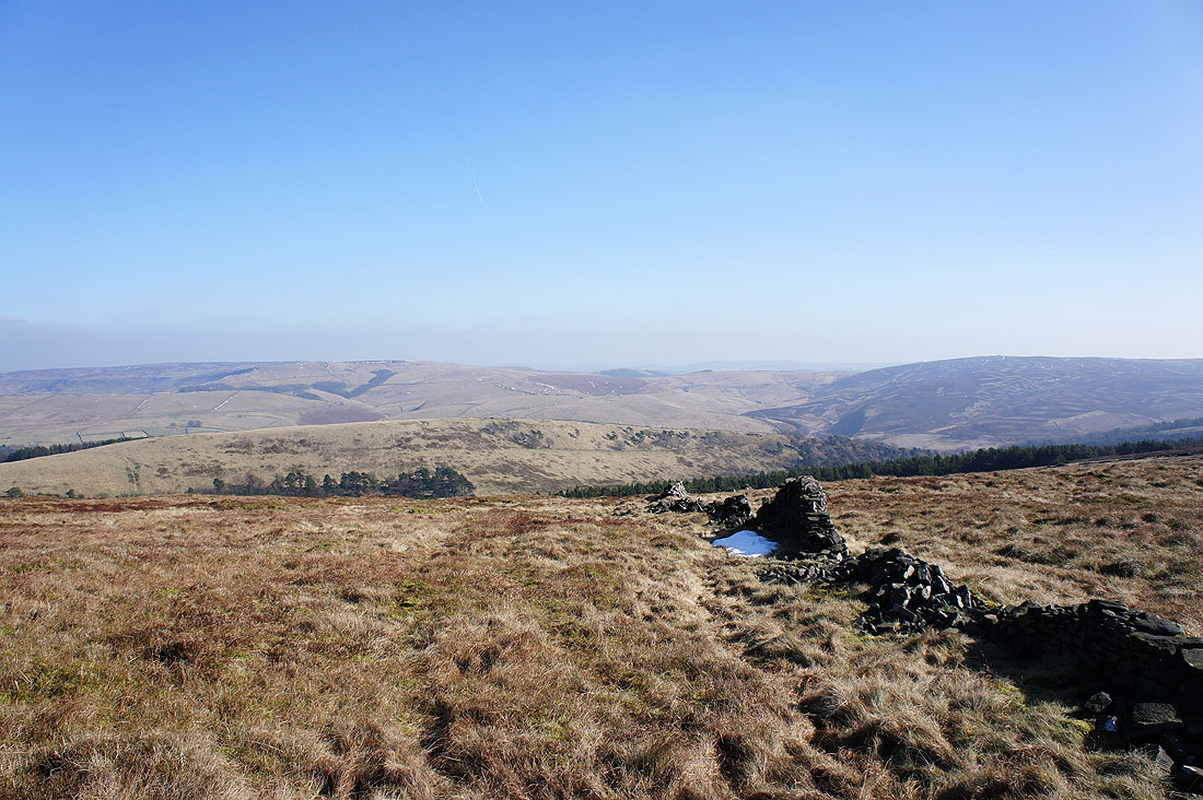
Moorland to the west
Andrew's Edge on the left with the valley of Todd Brook below and Cats Tor on the right
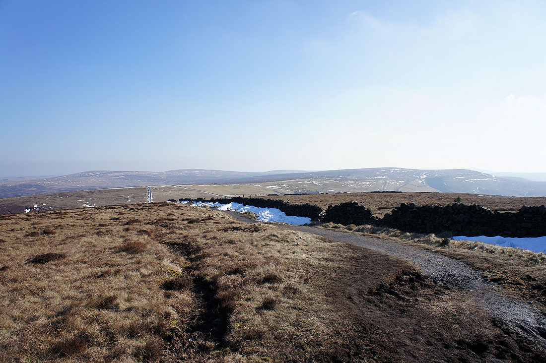
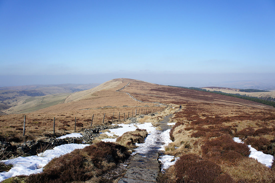
Time to get moving. I'm heading down and up to the next ridgeline. The moorland around Burbage Edge and Axe Edge Moor is in the background.
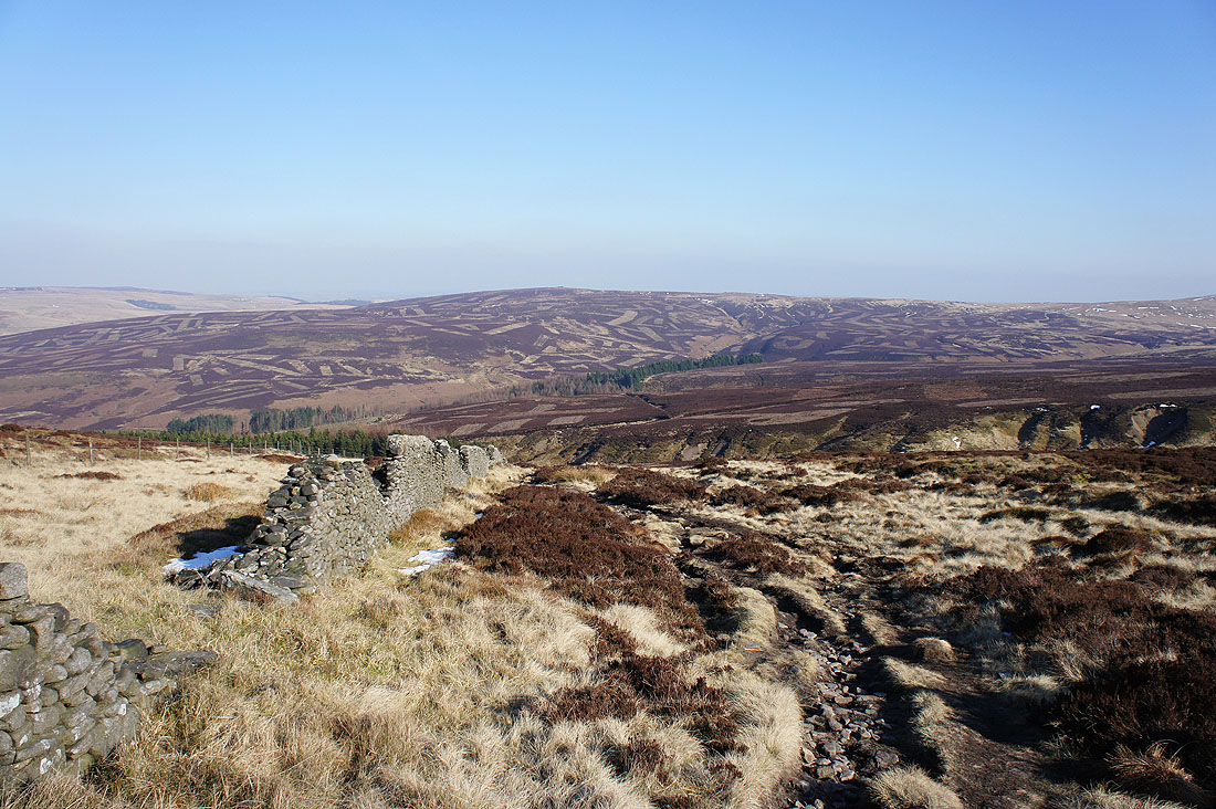
Heading down into Stake Clough
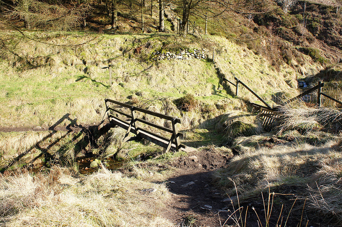
Across the footbridge over Deep Clough
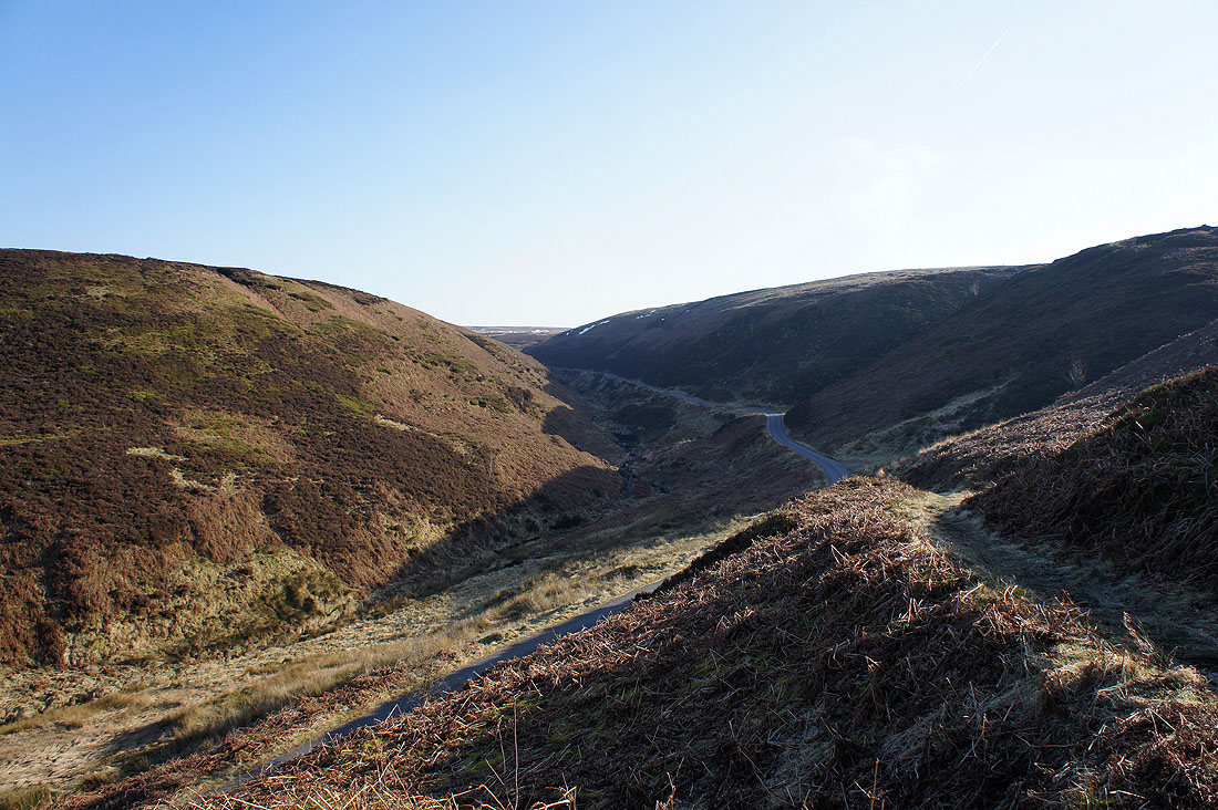
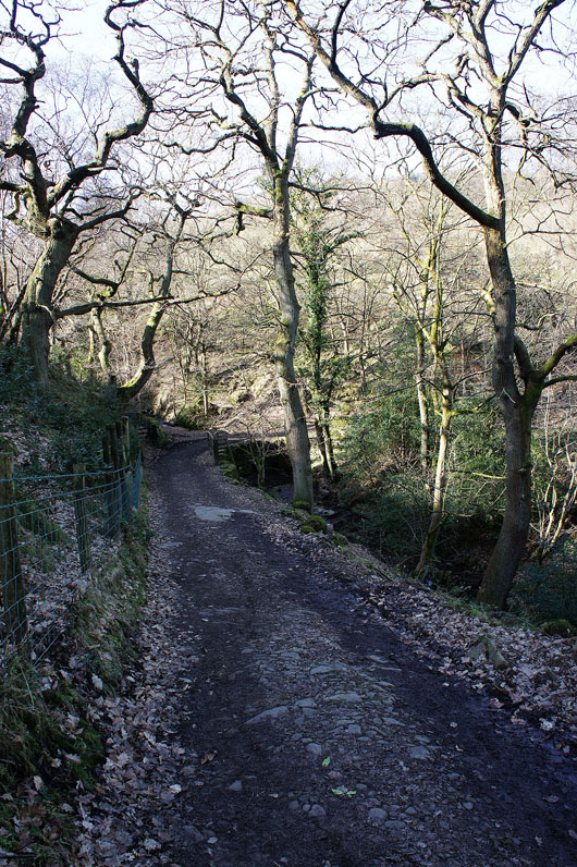
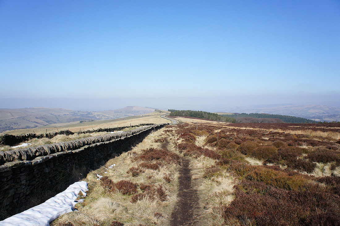
The path I've been following has finally brought me to the road up through Goyt's Clough
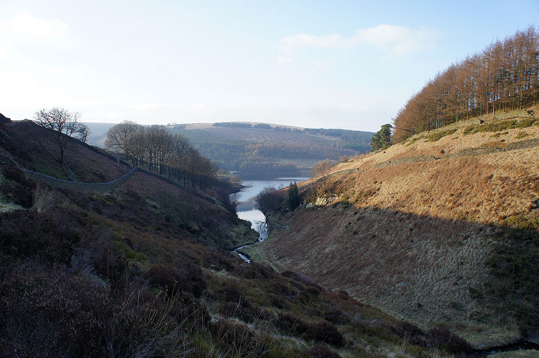
After a short walk down the road I'm now enjoying walking above the infant River Goyt
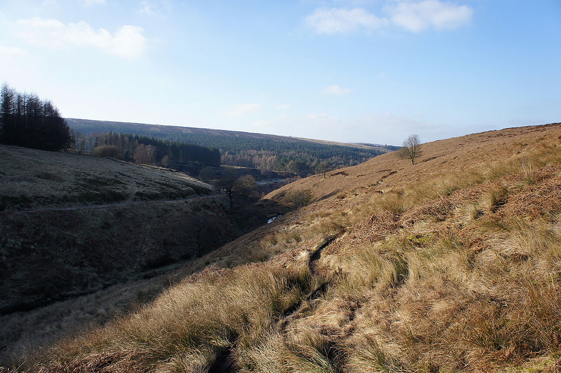
Goyt's Clough
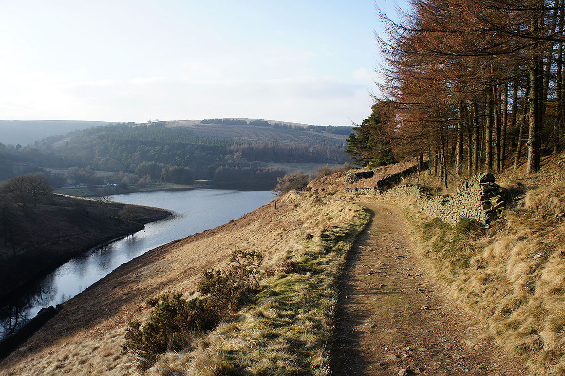
Errwood Reservoir comes into view. Not far to go now.
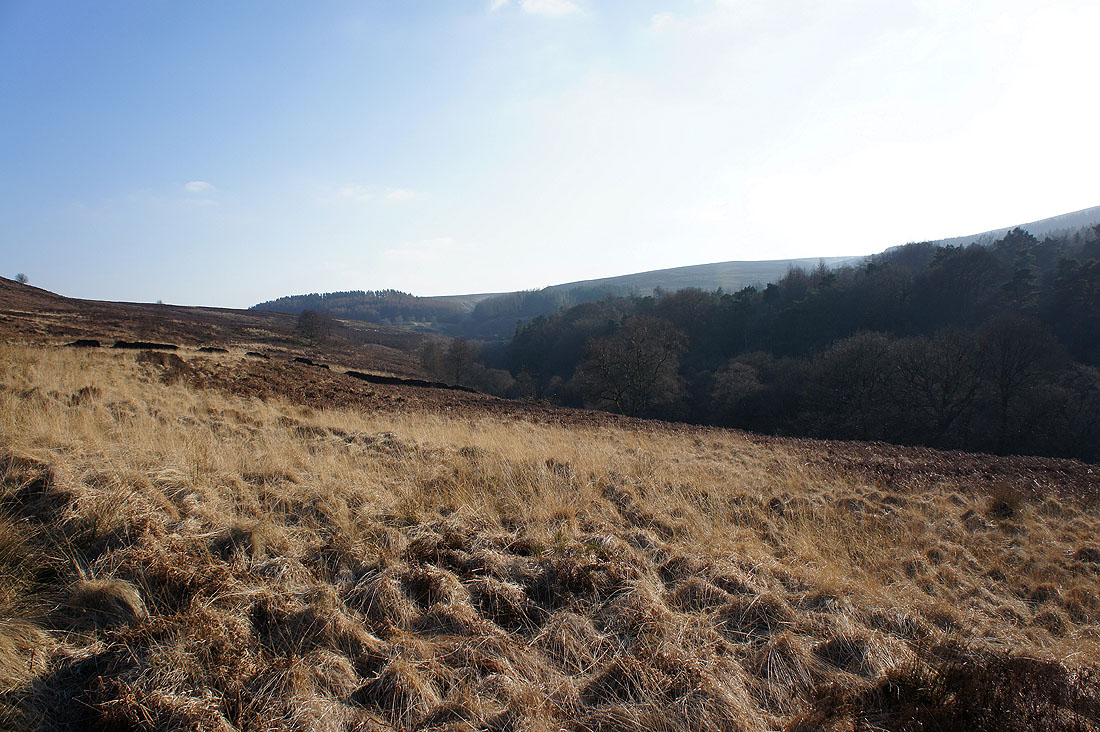
The steep sided valley of Wildmoorstone Brook as it enters Errwood Reservoir
I've crossed Wildmoorstone Brook for the last bit of the walk above Errwood Reservoir
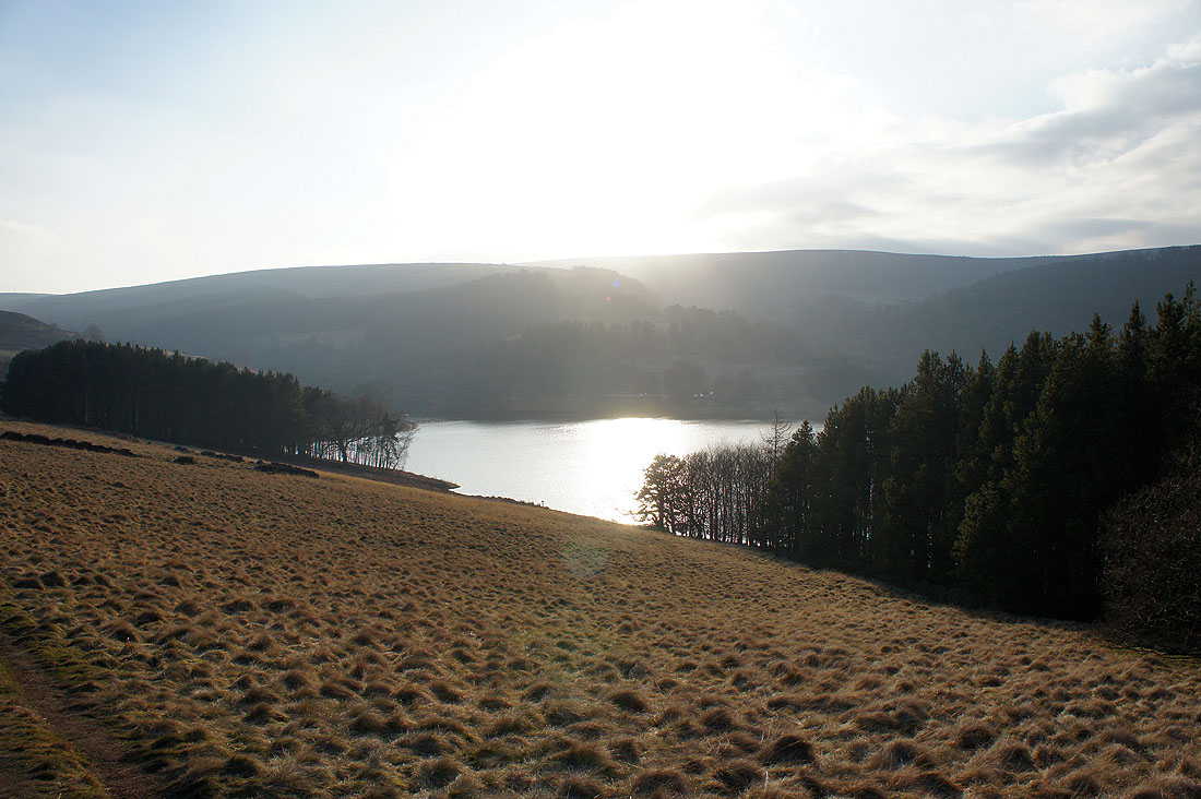
The sun starts to set over Shining Tor
A chance to reflect on a really enjoyable day out