2nd May 2010 - A Coniston Round
Walk Details
Distance walked: 9.7 miles
Total ascent: 4088 ft
OS map used: OL6 - The English Lakes, South-western area
Time taken: 7 hrs
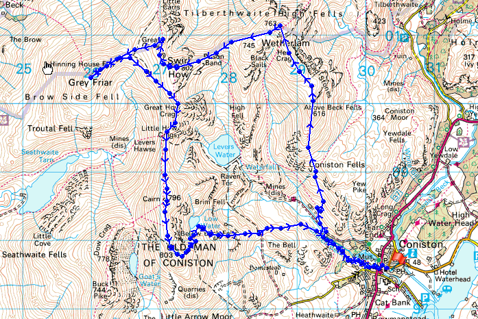
Route description: Coniston-Miners Bridge-Hole Rake-Wetherlam-Swirl Hause-Prison Band-Swirl How-Great Carrs-Grey Friar-Brim Fell-The Old Man of Coniston-Low Water-Coppermines Valley-Miners Bridge-Coniston
A round of the Coniston Fells from Coniston including Wetherlam, Swirl How, Great Carrs, Grey Friar, Brim Fell and the Old Man of Coniston.
Total ascent: 4088 ft
OS map used: OL6 - The English Lakes, South-western area
Time taken: 7 hrs
Route description: Coniston-Miners Bridge-Hole Rake-Wetherlam-Swirl Hause-Prison Band-Swirl How-Great Carrs-Grey Friar-Brim Fell-The Old Man of Coniston-Low Water-Coppermines Valley-Miners Bridge-Coniston
A round of the Coniston Fells from Coniston including Wetherlam, Swirl How, Great Carrs, Grey Friar, Brim Fell and the Old Man of Coniston.
Route map
© Crown copyright. All rights reserved. License number PU 100034184.
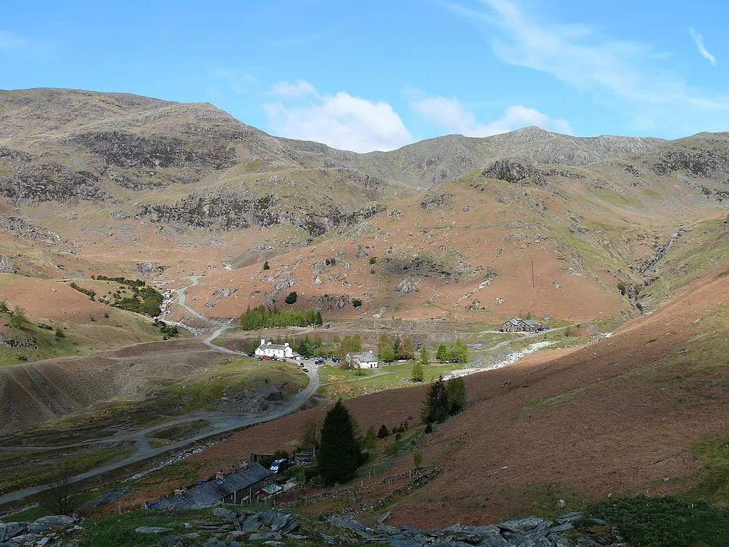
The Coppermines Valley
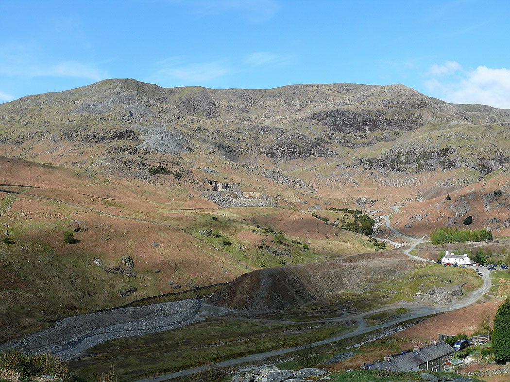
The Old Man of Coniston and Brim Fell
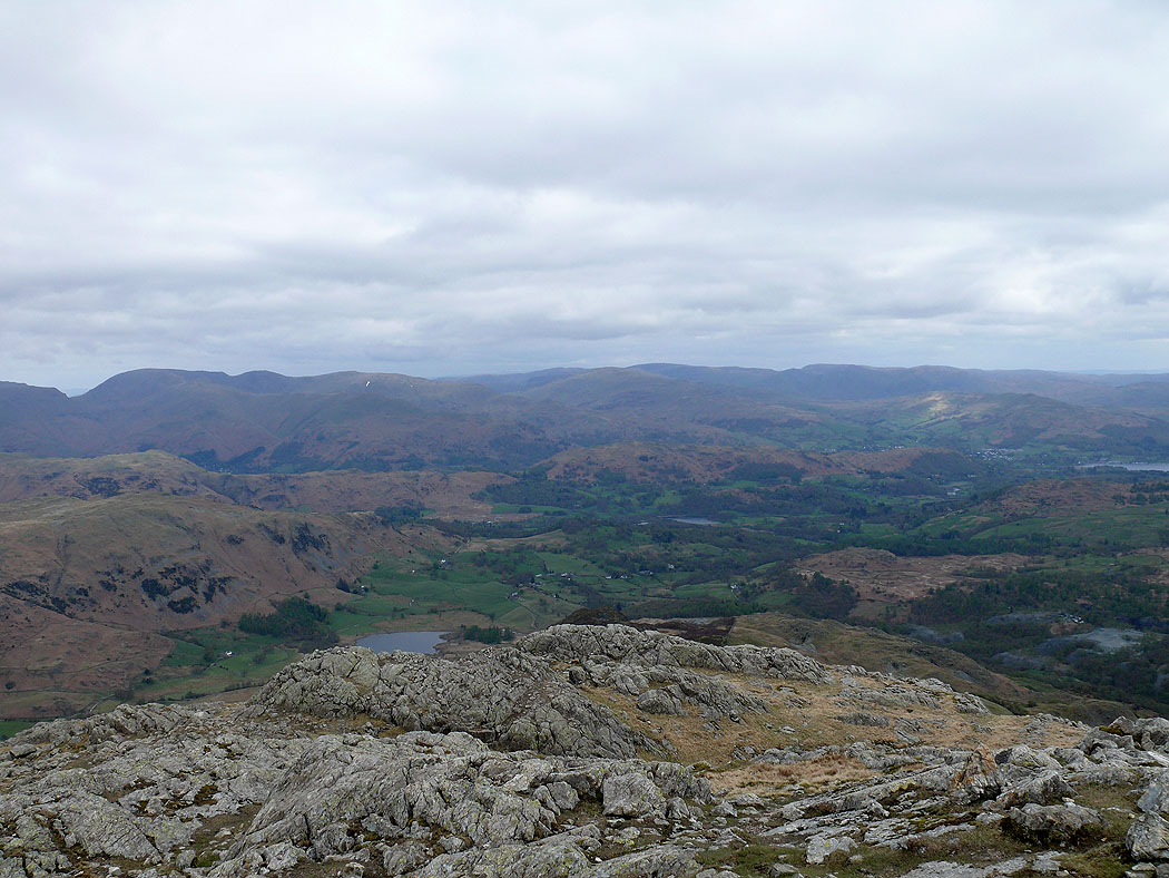
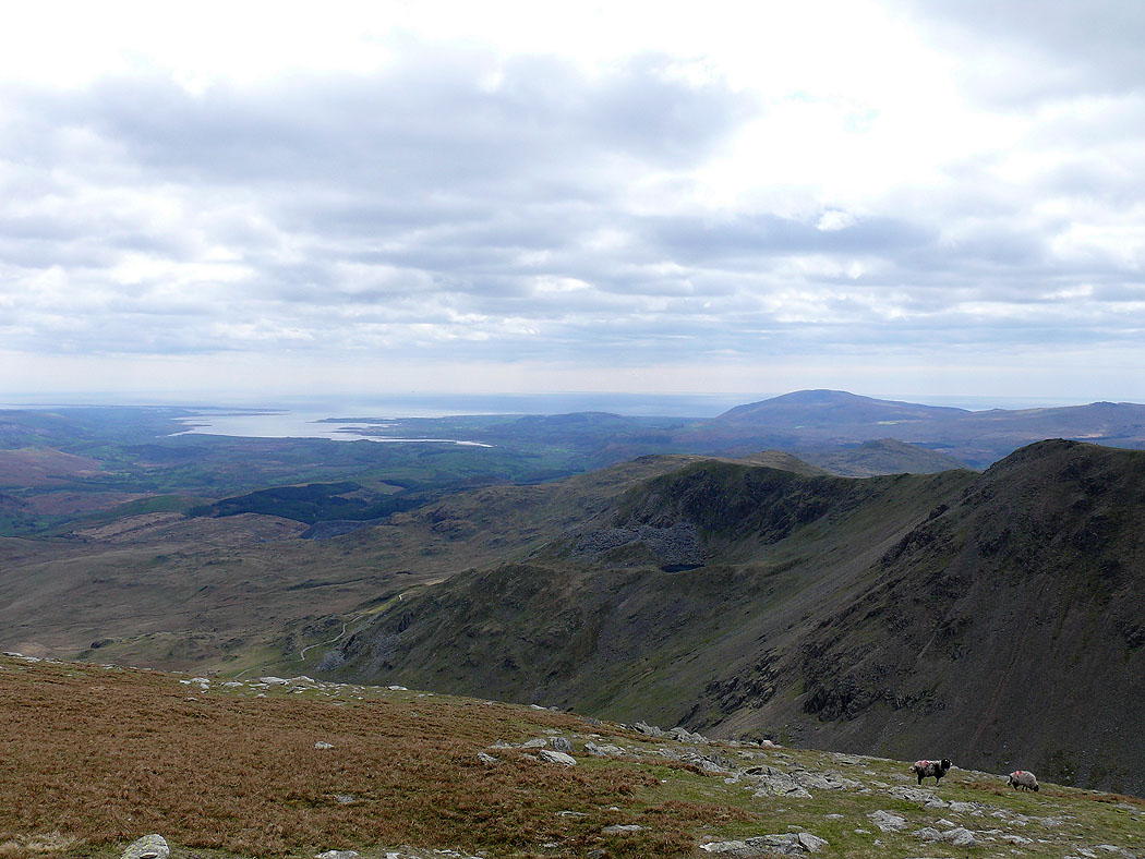
Coniston Water on the climb up Wetherlam
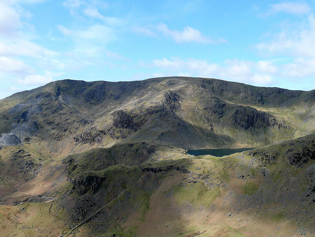
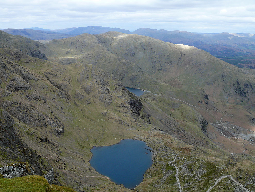
Coniston Old Man, Brim Fell and Levers Water
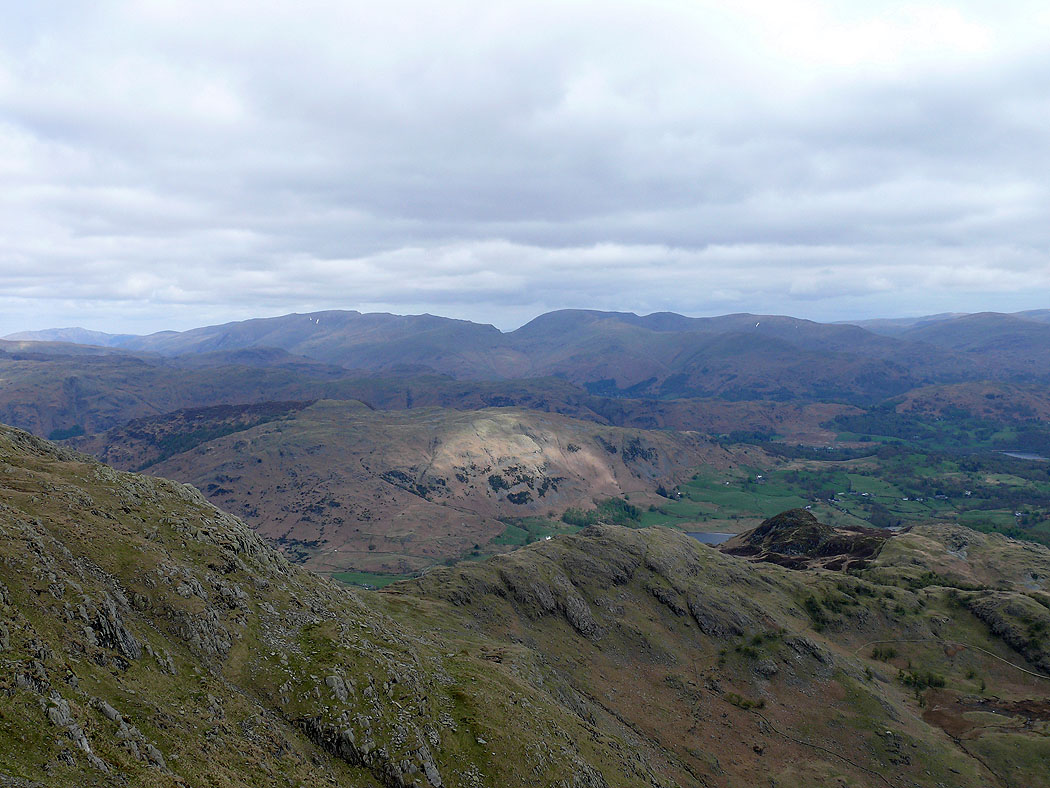
Helvellyn and Fairfield
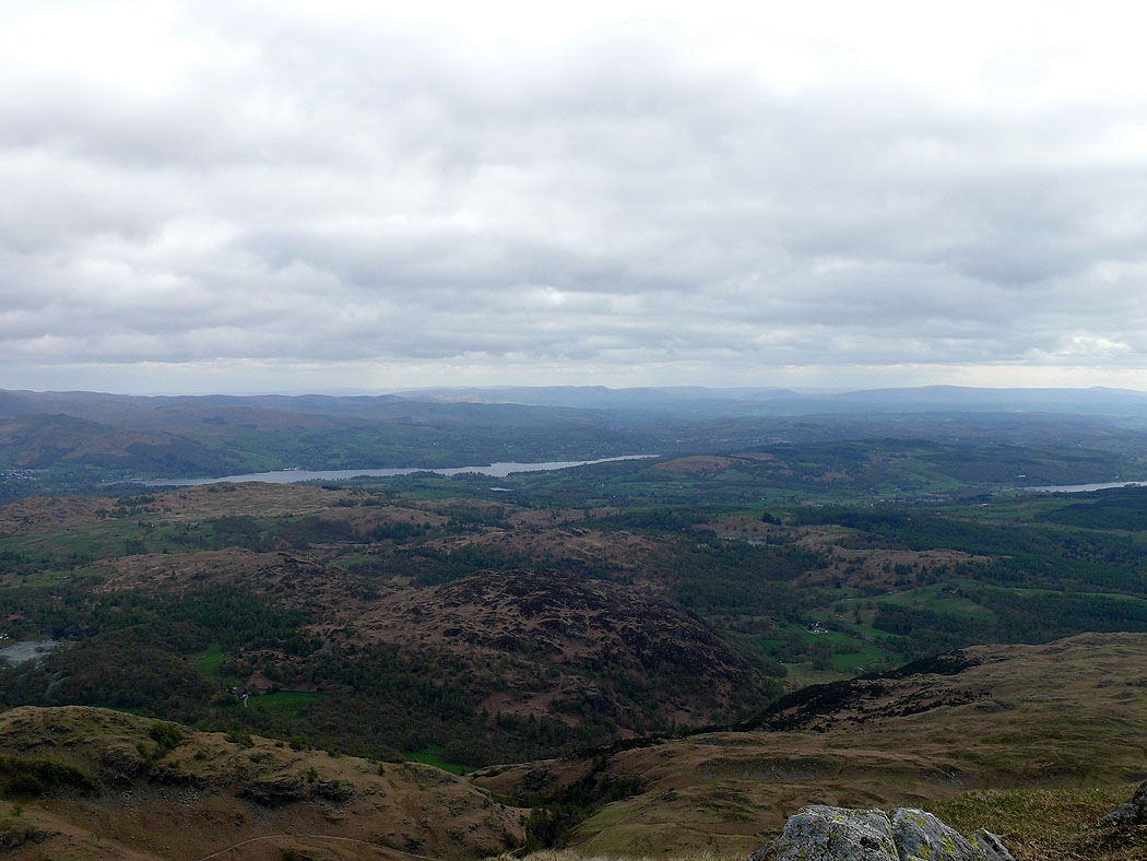
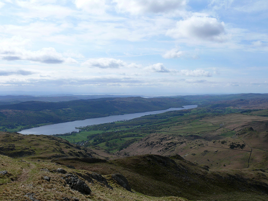
Windermere
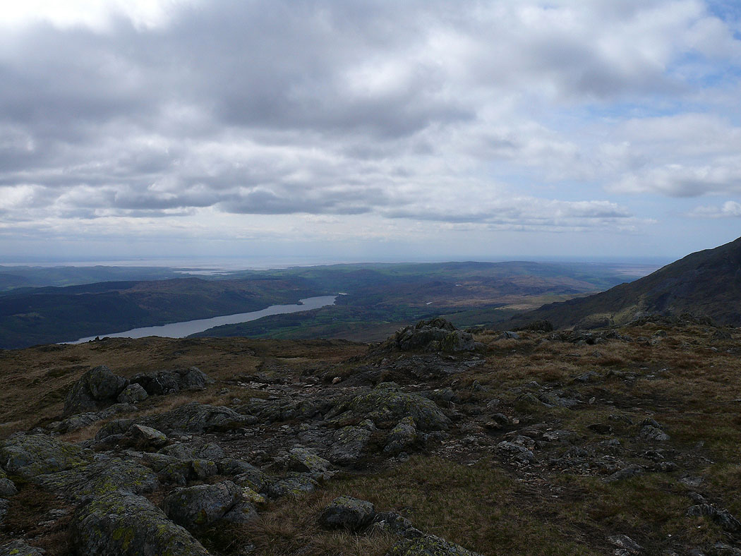
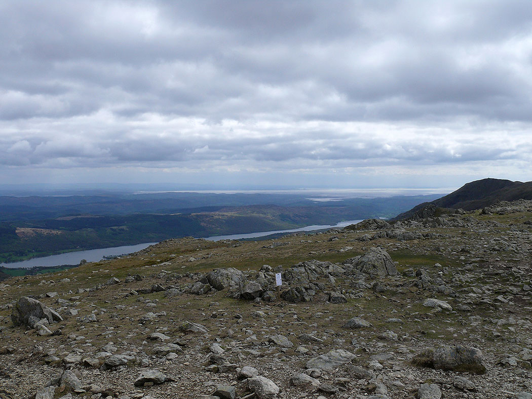
Coniston Water
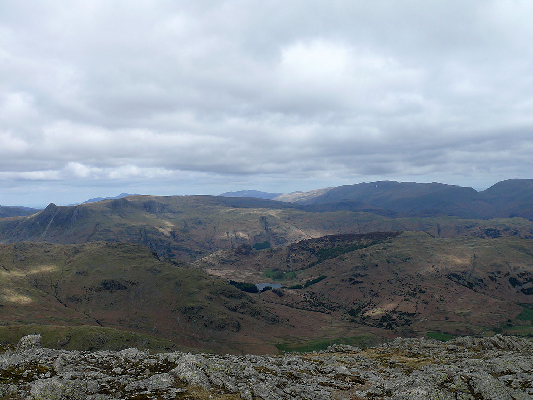
On the summit of Wetherlam. Looking northeast to Fairfield, Hart Crag, Dove Crag, High Street and Harter Fell.
Langdale Pikes and Helvellyn
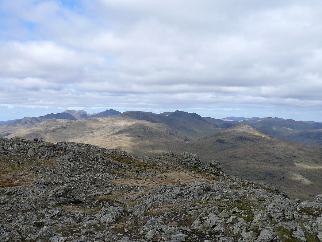
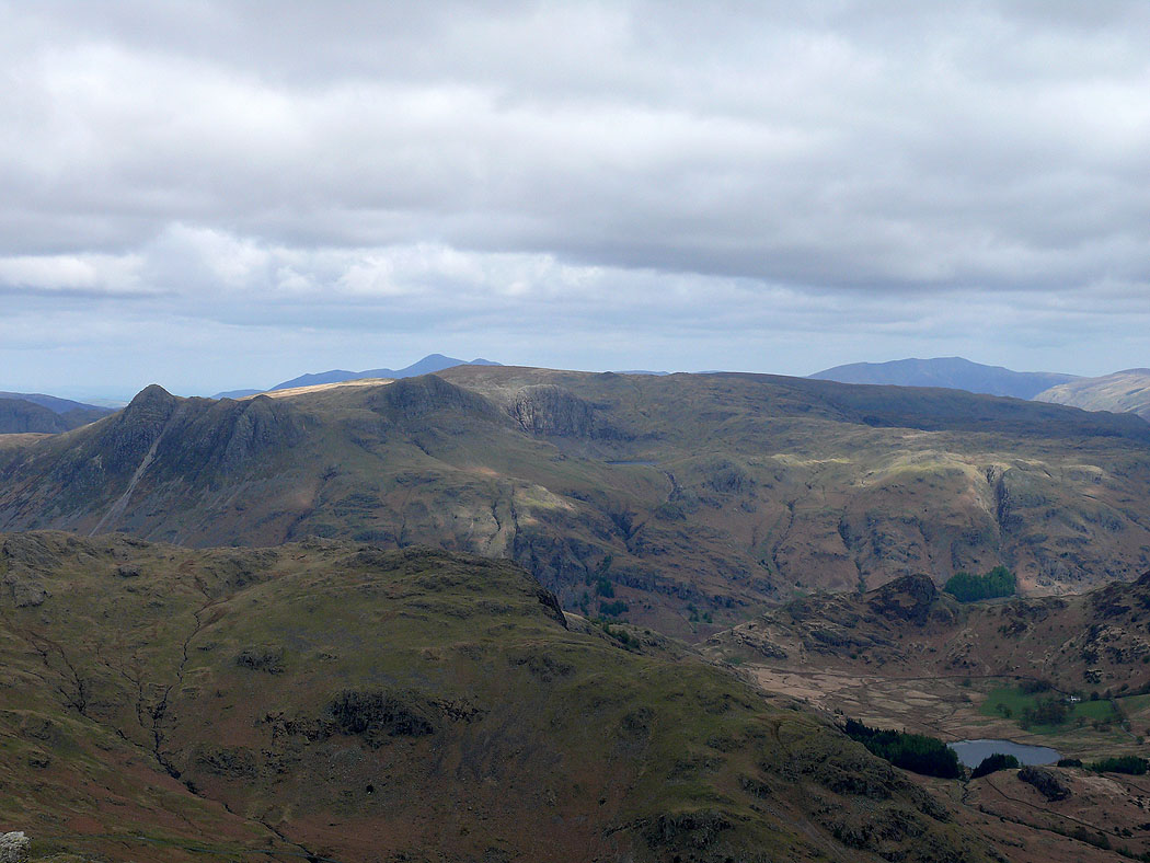
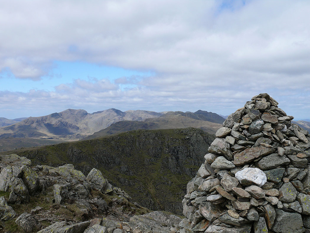
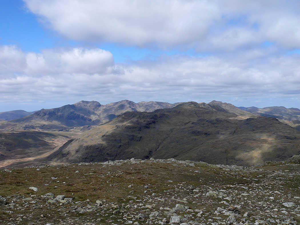
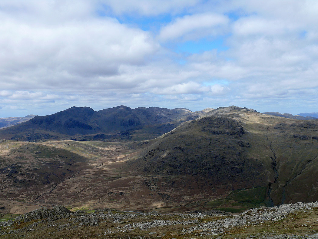
Scafell range, Crinkle Crags and Bowfell
Zooming in
Zooming in on the Langdale Pikes. Skiddaw and Blencathra can be seen in the distance.
Scafell range, Crinkle Crags and Bowfell from Wetherlam's summit cairn
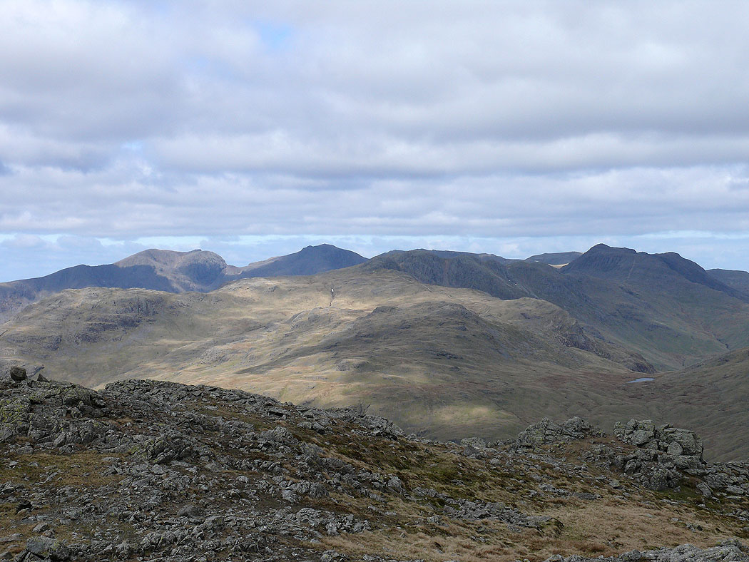
Scafell range and Bowfell over Wet Side Edge
Helvellyn and Fairfield from Swirl How
Coniston Water
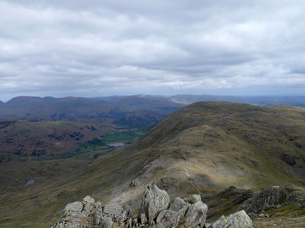
Wetherlam
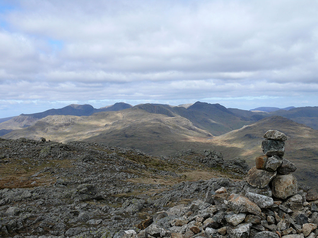
Scafell range and Bowfell over Great Carrs from Swirl How
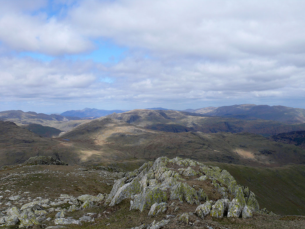
Black Combe and Grey Friar from Swirl How
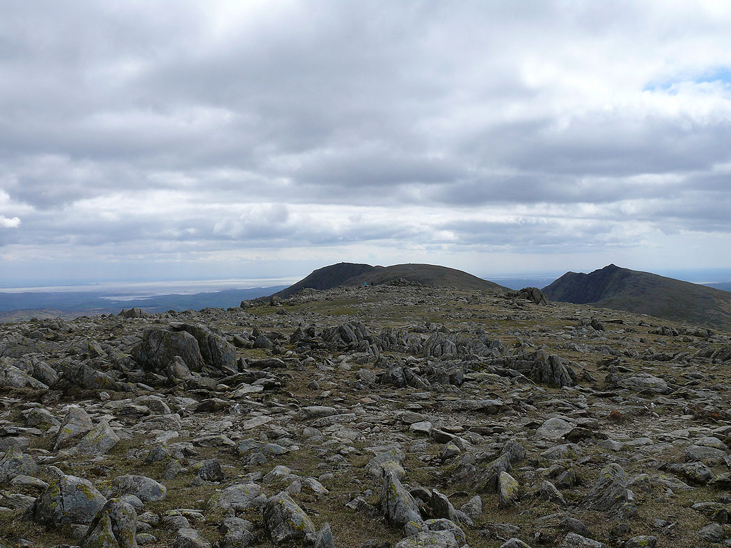
Coniston Old Man, Brim Fell and Dow Crag
Scafell range and Bowfell from Great Carrs
The view north from Great Carrs
Greenburn from Great Carrs
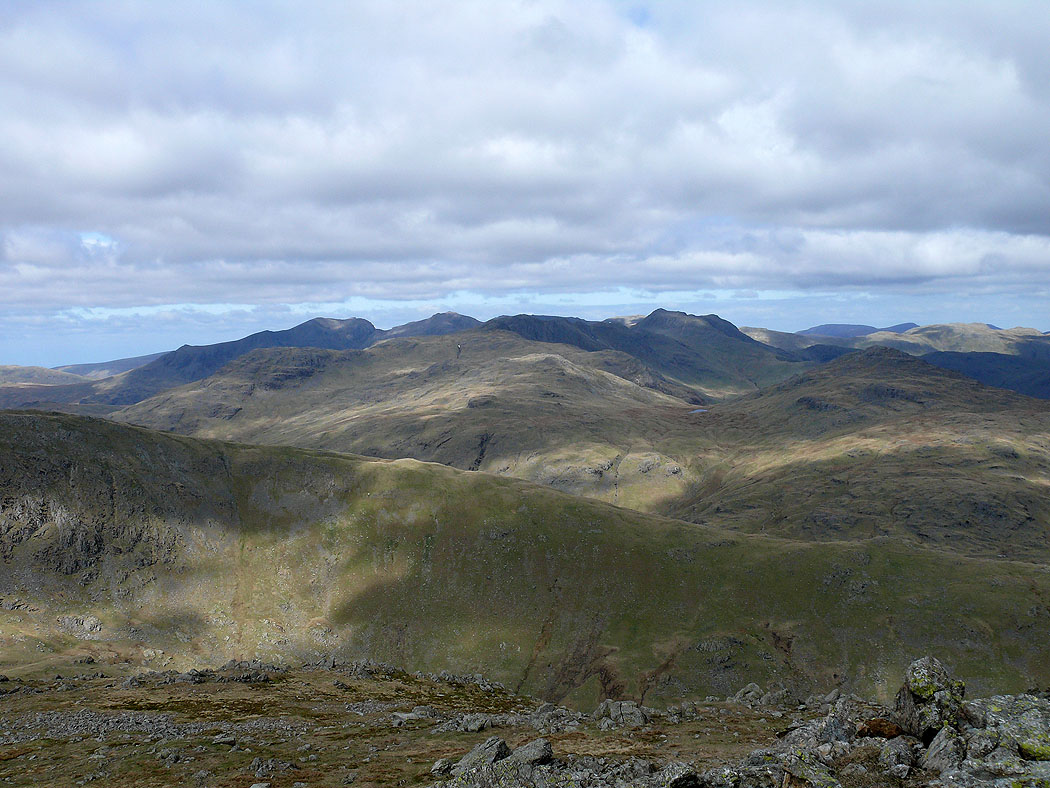
The Scafell range from Grey Friar
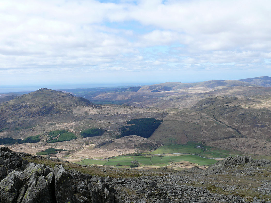
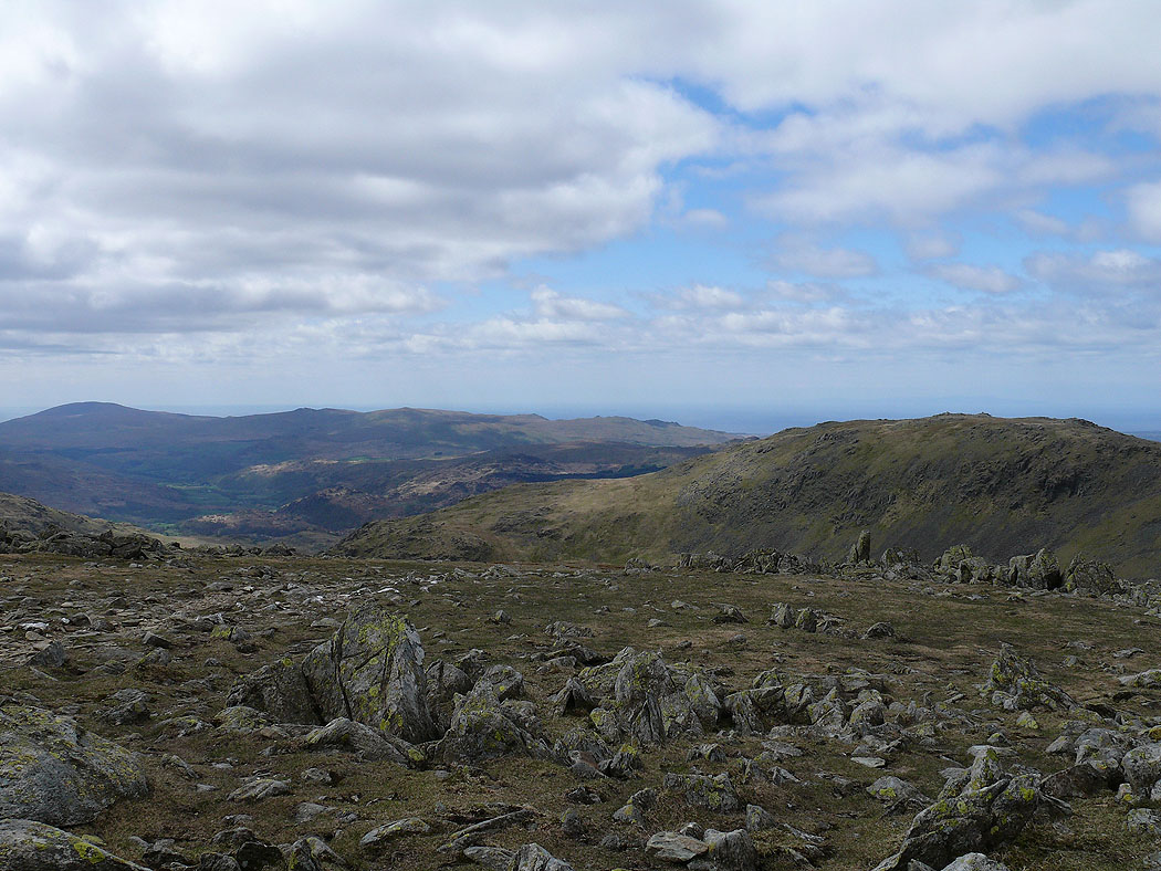
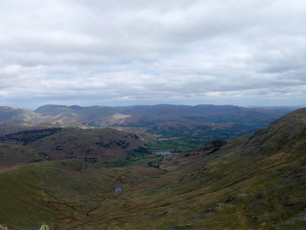
Looking down into the Duddon valley and Harter Fell
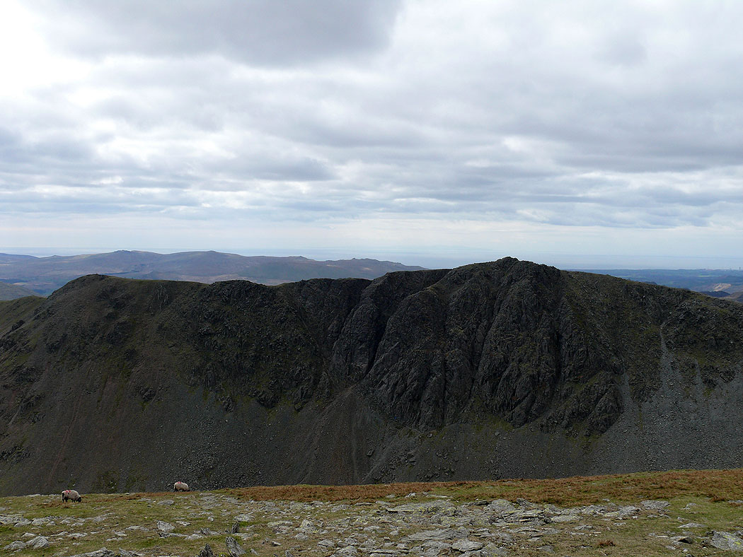
Dow Crag from Grey Friar
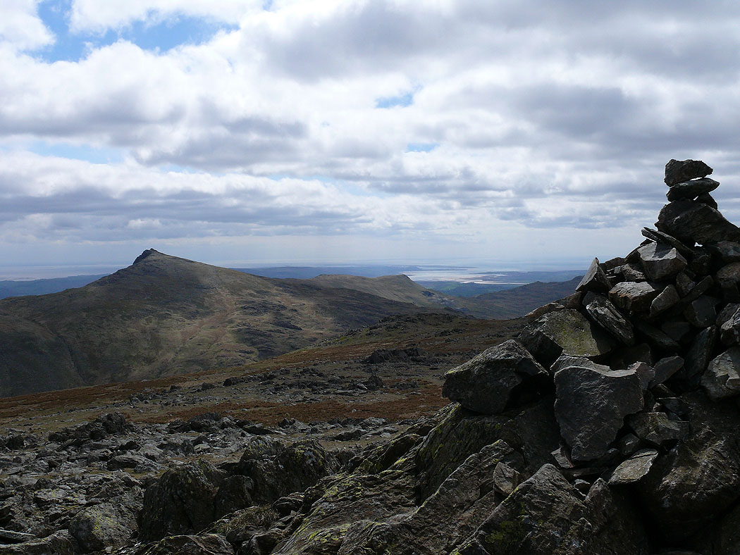
Dow Crag from The Old Man of Coniston
Looking out to the Duddon estuary and Morecambe Bay
Looking down on Low Water
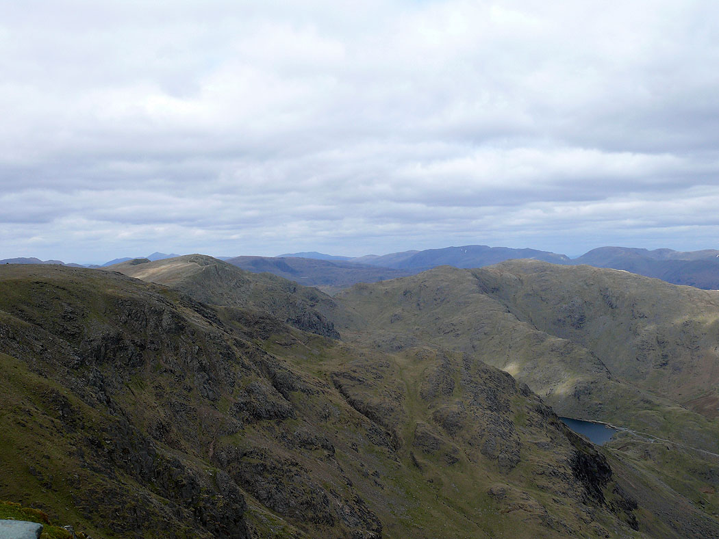
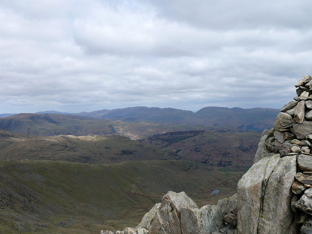
The view to Swirl How and Wetherlam
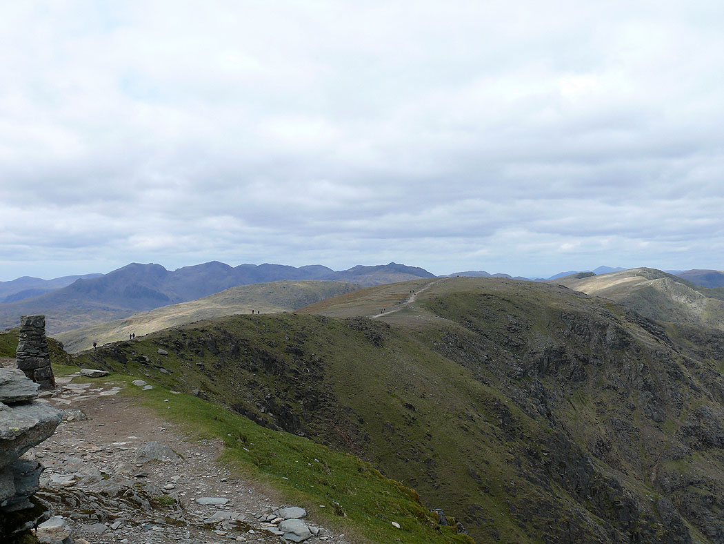
The view past Brim Fell to the Scafell range