2nd May 2011 - A Malham Circuit
Walk Details
Distance walked: 10.3 miles
Total ascent: 1826 ft
OS map used: OL2 - Yorkshire Dales, Southern & Western areas
Time taken: 5.5 hrs
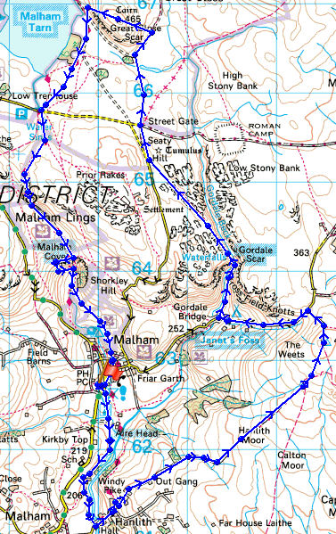
Route description: Malham-Aire Head-Hanlith-The Weets-Gordale Scar-Street Gate-Great Close Hill-Malham Tarn-Malham Cove-Malham
From the car park in Malham I made my way down to Hanlith and then up to Weets Top. From there I made my way up Gordale Scar and then up to Great Close Hill next to Malham Tarn. I made my way back to Malham by the descent next to Malham Cove.
Route map
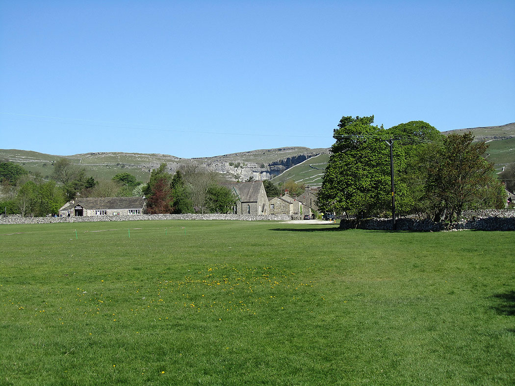
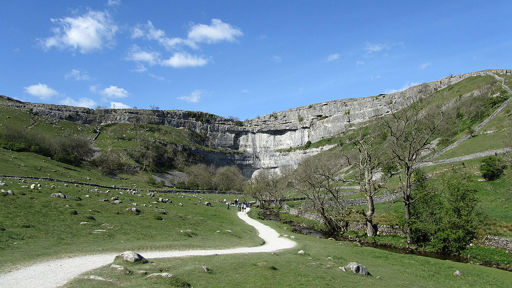
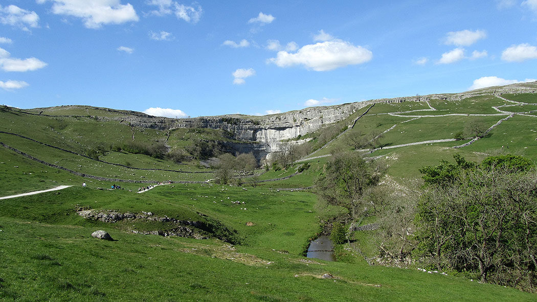
Malham Cove behind Malham
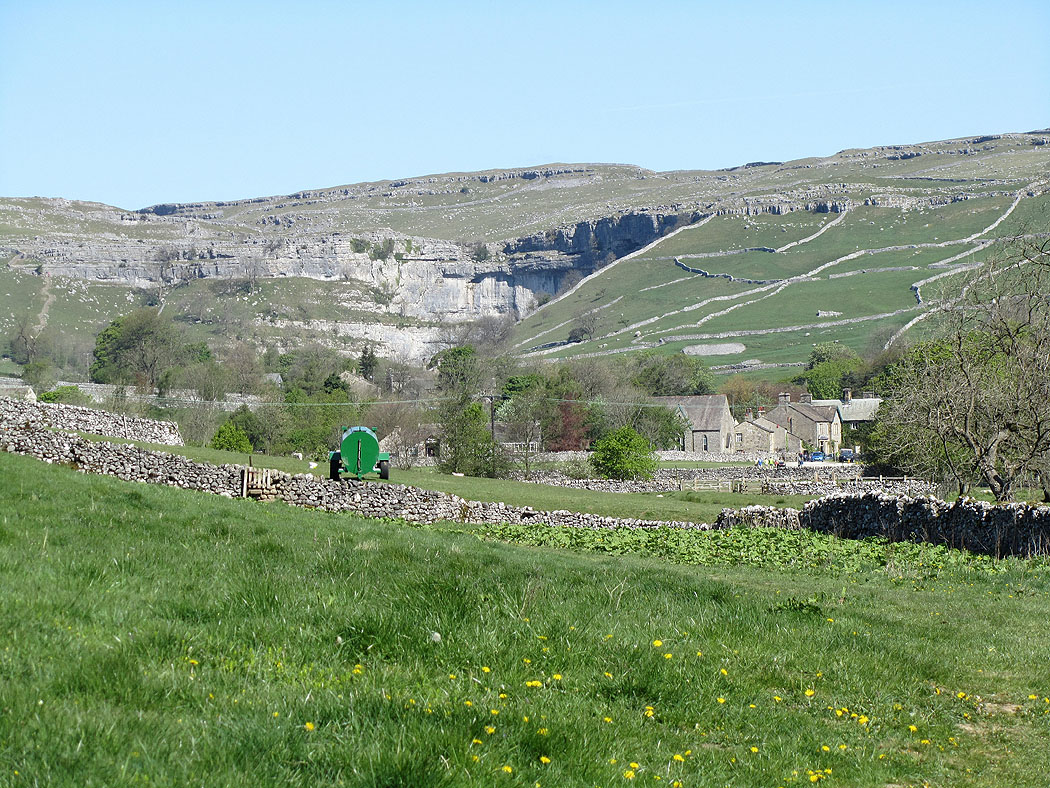
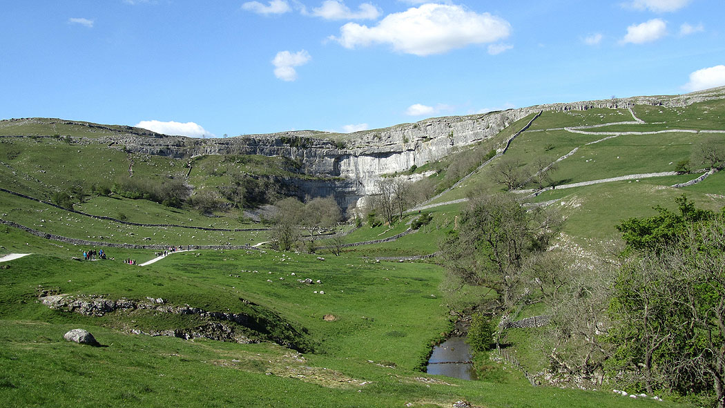
Zooming in
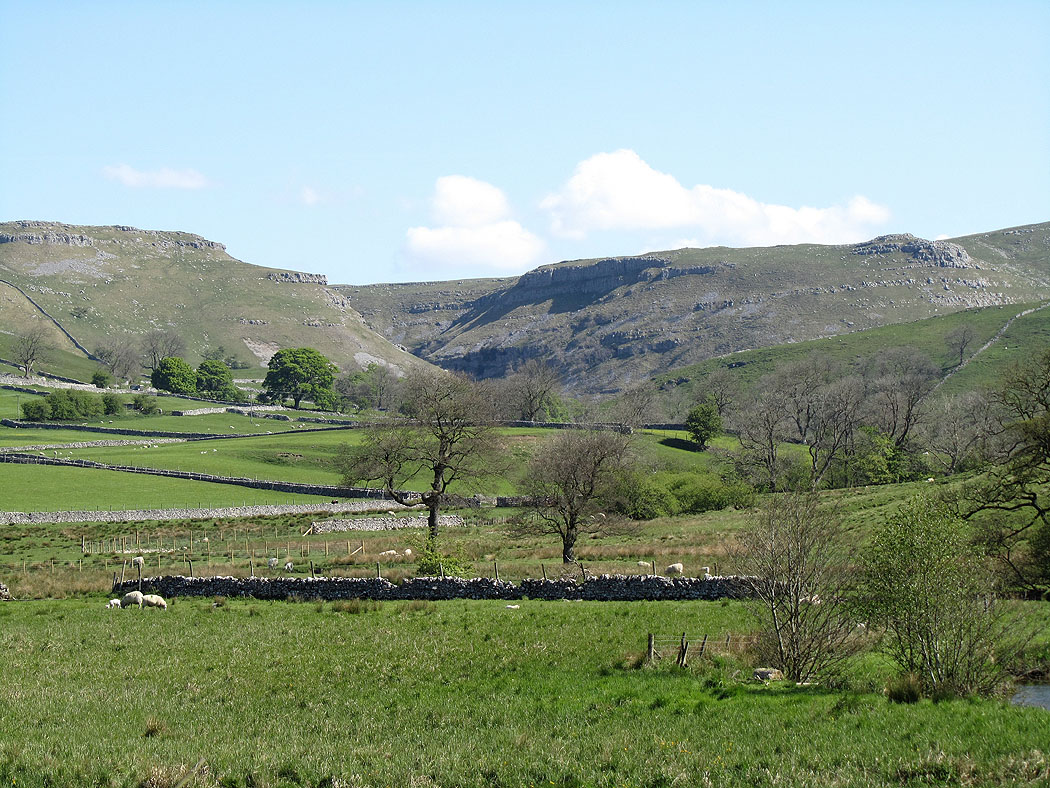
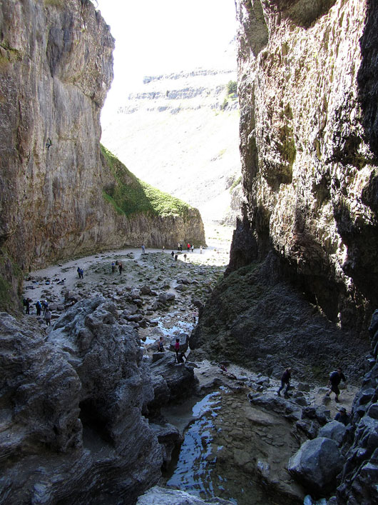
Gordale Scar
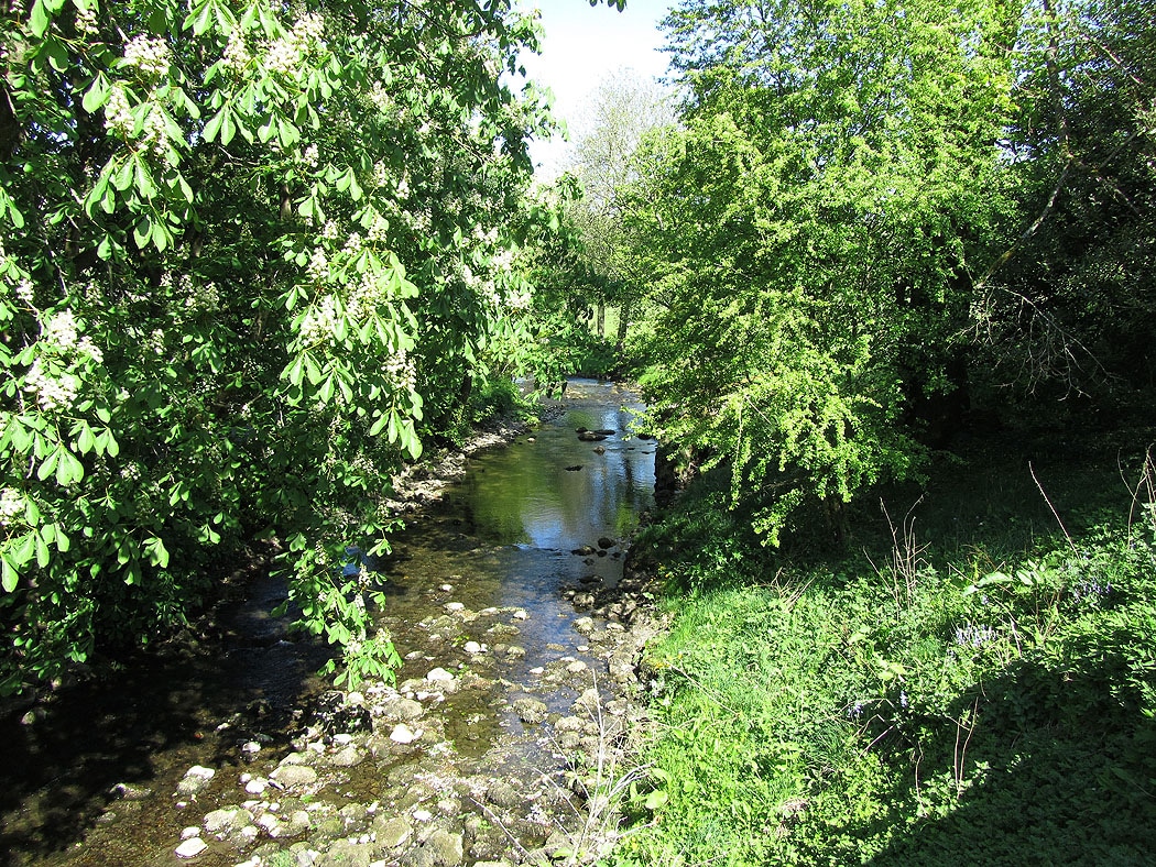
Crossing the River Aire at Hanlith Bridge
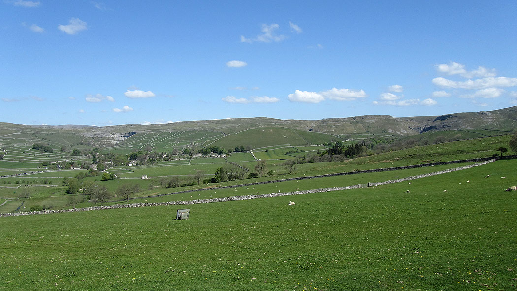
Malham Cove and Gordale Scar from the bridleway to Weets Top
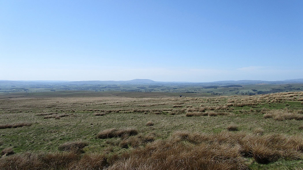
Pendle Hill from Weets Top
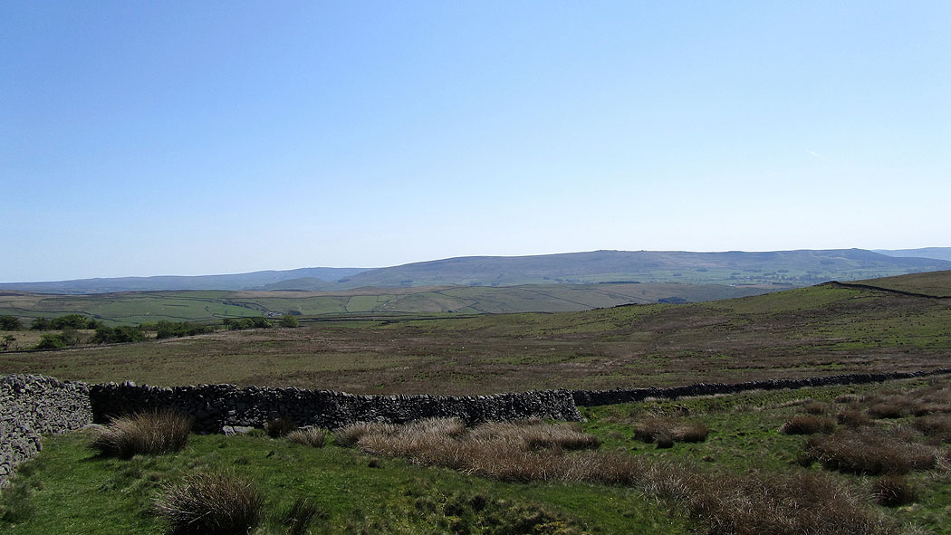
Burnsall Fell in Wharfedale
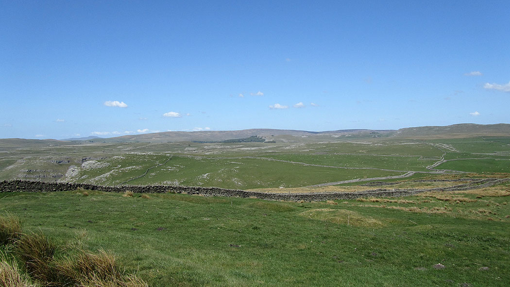
Limestone plateau above Gordale Scar
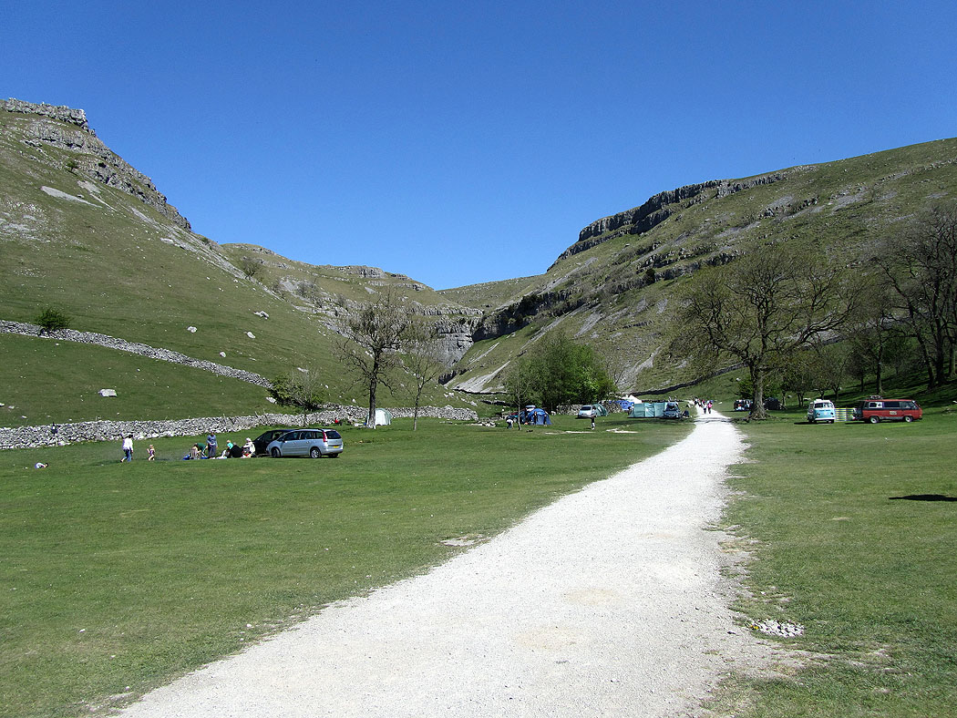
Gordale Scar plus the campsite at its entrance
Looking back down from above the lower waterfall
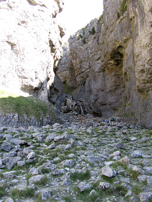
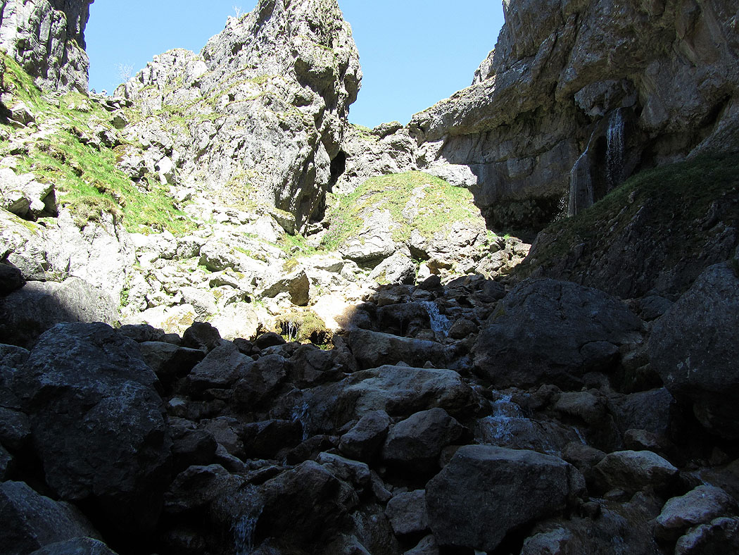
The route out is up the gully on the left
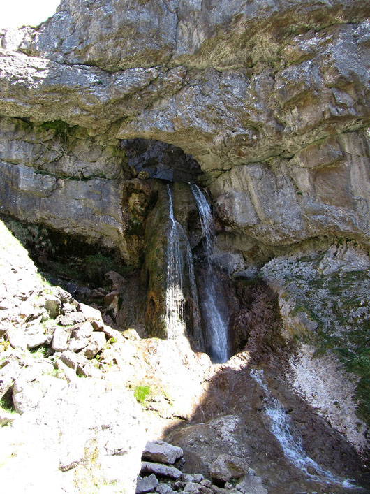
The upper waterfall
Gordale Scar
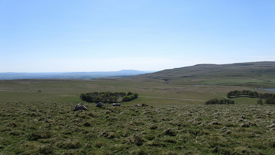
Pendle Hill from Great Close Hill
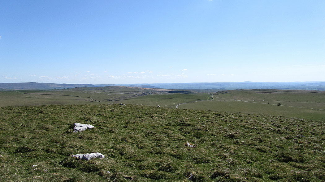
The view across to the hills around Wharfedale
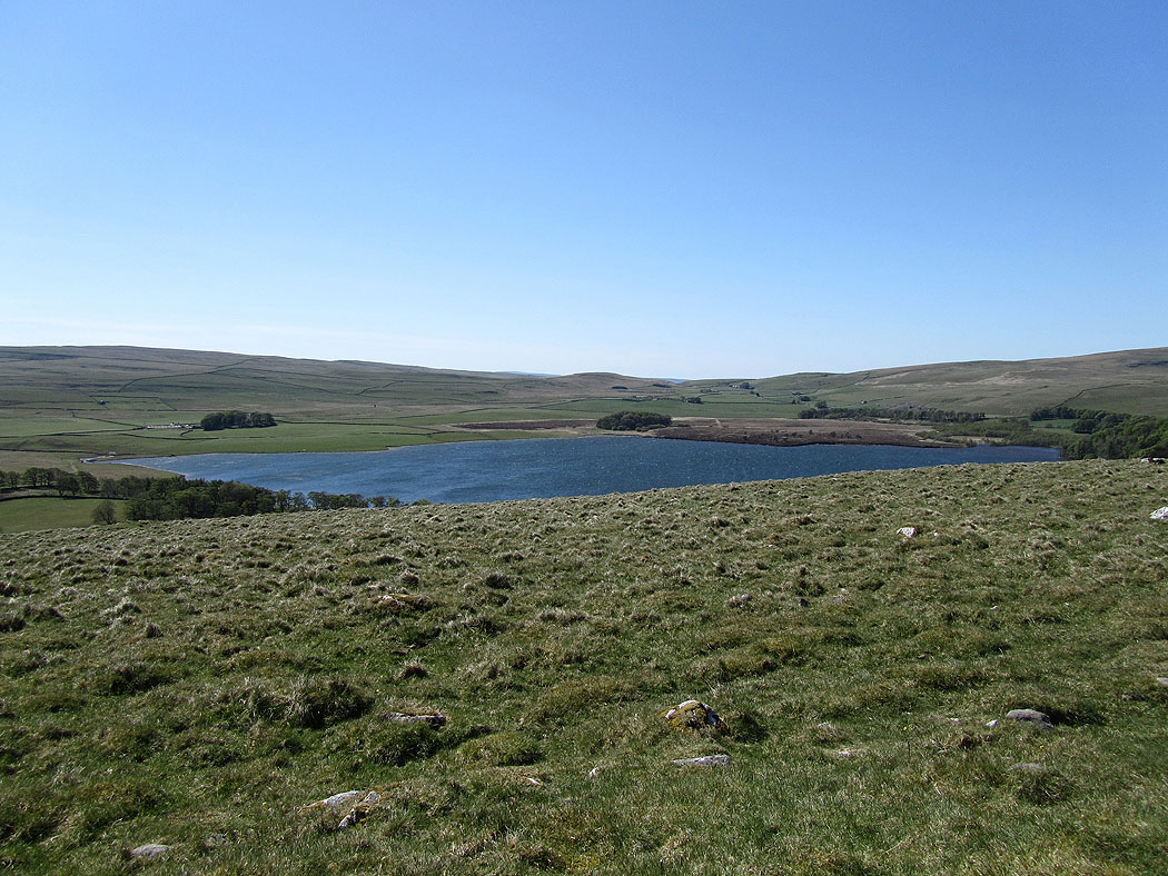
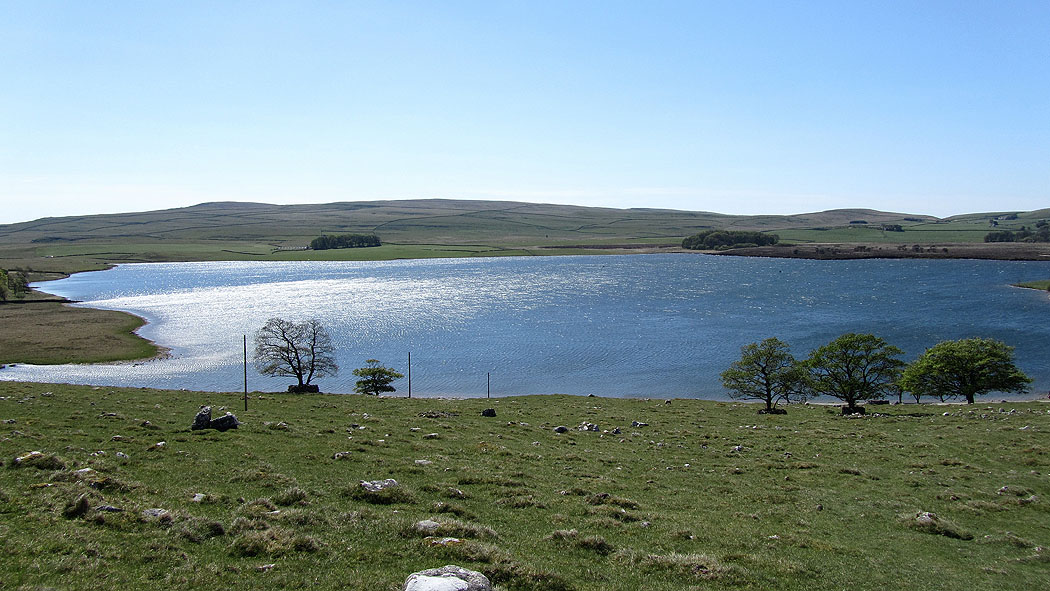
Malham Tarn..
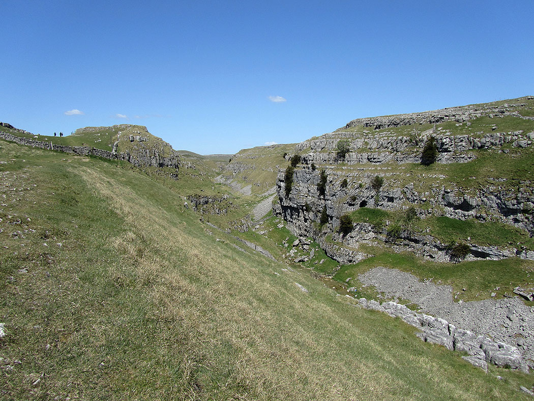
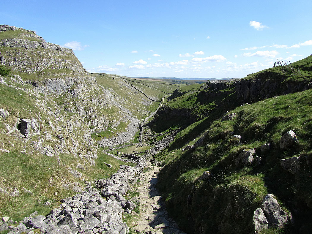
Heading down the dry valley to Malham Cove
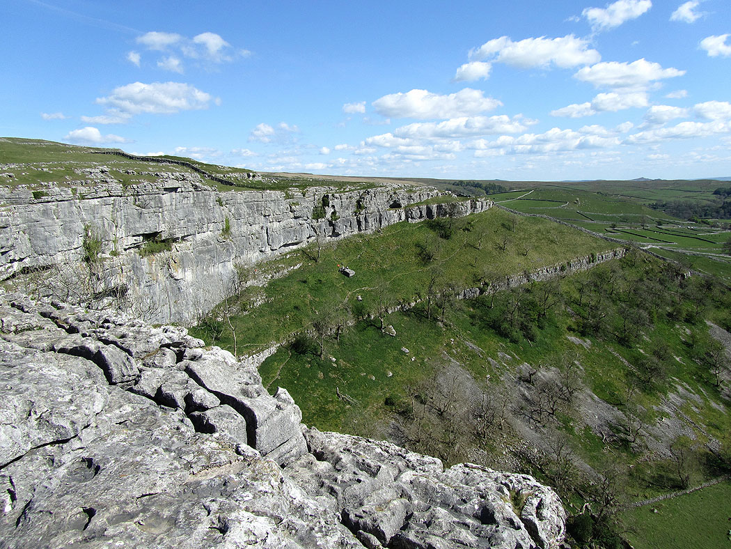
At the top of Malham Cove
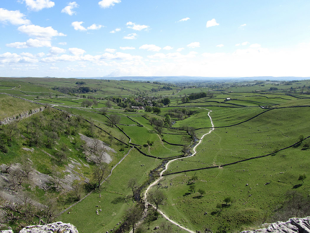
Looking down to Malham
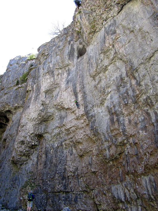
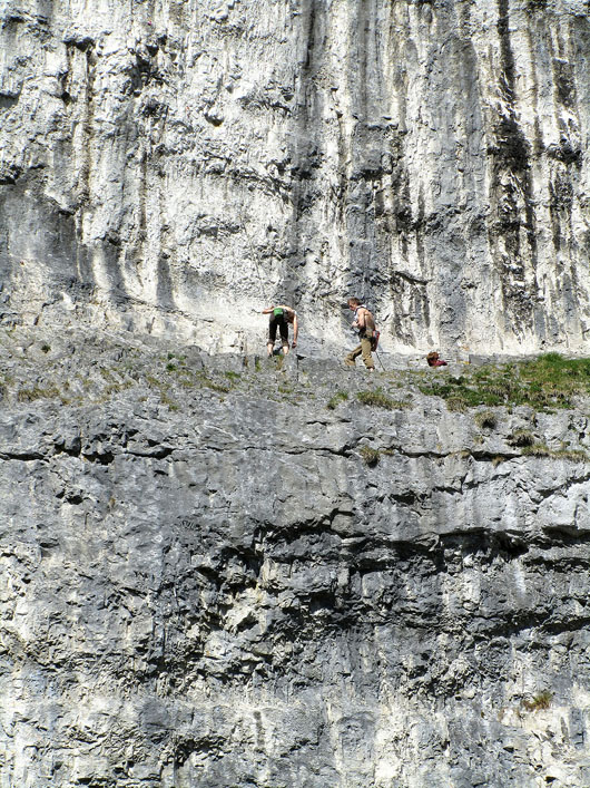
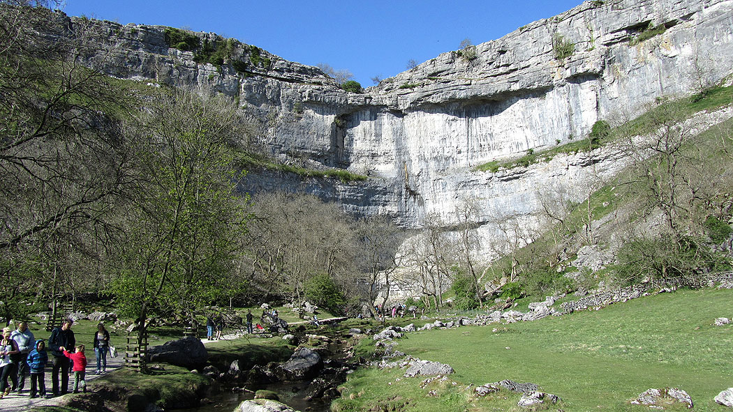
Climbers on the cliffs of Malham Cove
Malham Cove as I head back to Malham...
