2nd May 2016 - Earl Crag
Walk Details
Distance walked: 6.9 miles
Total ascent: 1094 ft
OS map used: OL21 - South Pennines
Time taken: 3 hrs
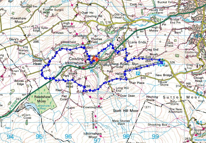
Route description: Ickornshaw-Gill Lane-Lane House Road-Hill End Lane-Moss End Lane-A6068-Reedshaw Lane-Park Lane-Lumb Lane-Close Lane-Piper Lane-Earl Crag-Dick Lane-Cowling-Ickornshaw Beck-Cinder Hill Lane-Ickornshaw
Not the best of weather for a bank holiday Monday but with the forecast for the morning rain to clear early in the afternoon I decided to do a relatively short walk in the South Pennines, from Ickornshaw, just off the Colne Road between Colne and Cross Hills. The skies were clearing as I parked up and I enjoyed some warm sunny spells as I made my way round but with a very strong blustery wind up on Earl Crag.
After parking outside the church on Gill Lane in Ickornshaw I walked north up Gill Lane then west up Lane House Road and Hill End Lane, then south on Moss End Lane to reach the A6068. After crossing the main road I continued the road walking along Reedshaw Lane and Park Lane to the byway of Close Lane. I followed this down and across Dean Brow Beck and up to Piper Lane. A brief walk east up this road and I took the second footpath on the left north to pick up the path east up onto Earl Crag. I then had an enjoyable walk between the two monuments on Earl Crag, Wainman's Pinnacle and Lund's Tower. Time to make my way back. A walk down Dick Lane to Cowling, a walk across a few fields and along an alley to the main road. Across the road and then along a path down to a footbridge over Ickornshaw Beck, on its other side I picked up Cinder Hill Lane which I followed west back to the church in Ickornshaw.
Route map
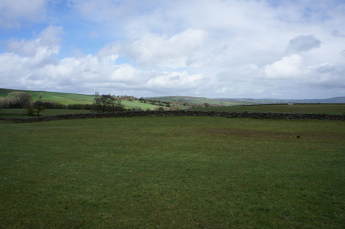
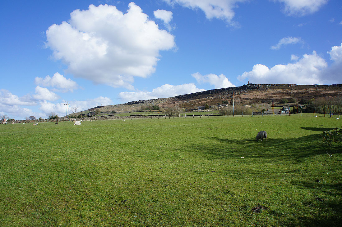
The sun is out on Cowling Hill as I set off from Ickornshaw
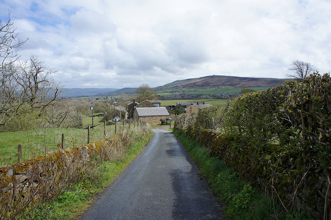
Looking back as I make my way up Lane House Road..
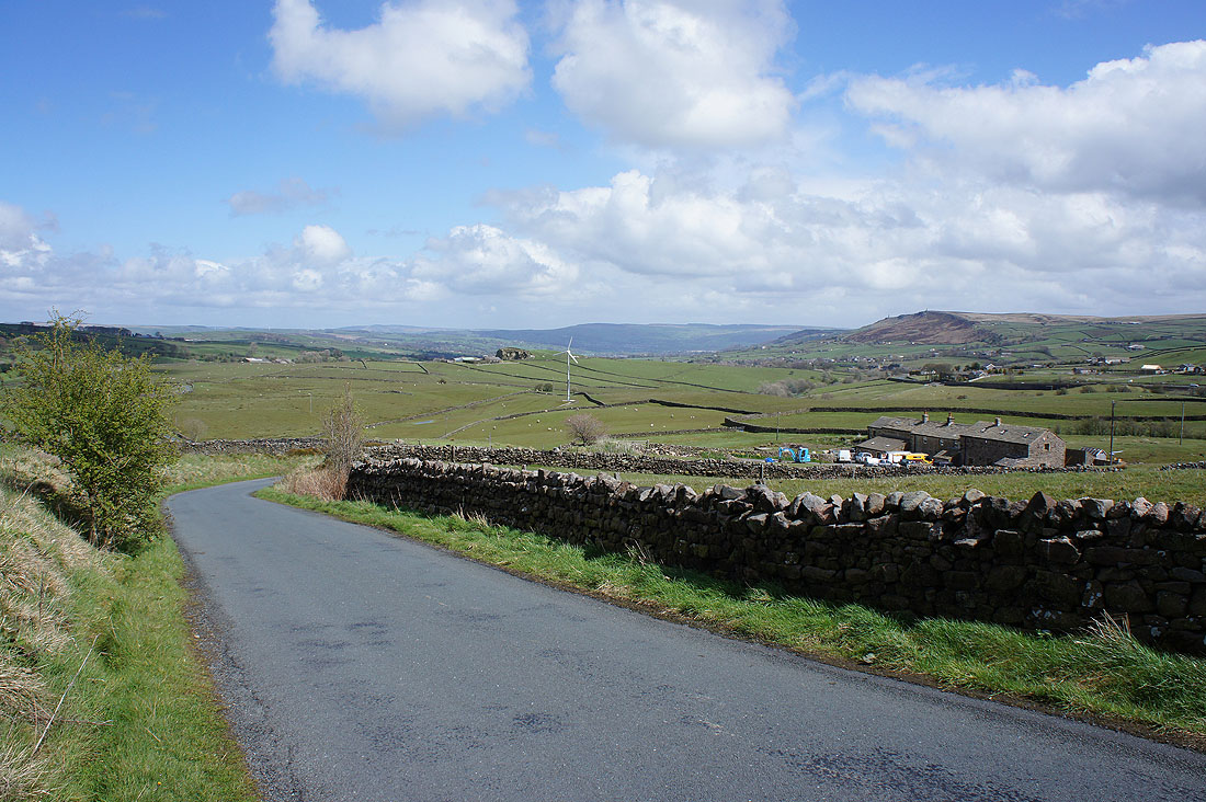
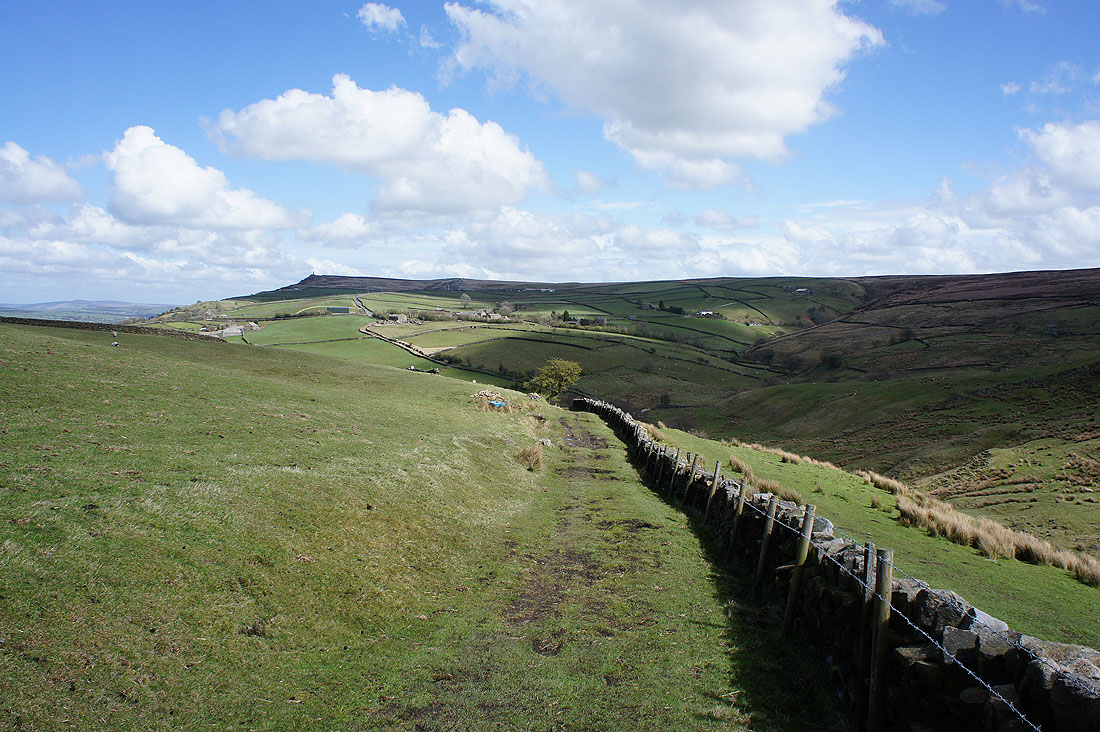
..and Hill End Lane with Earl Crag on the right
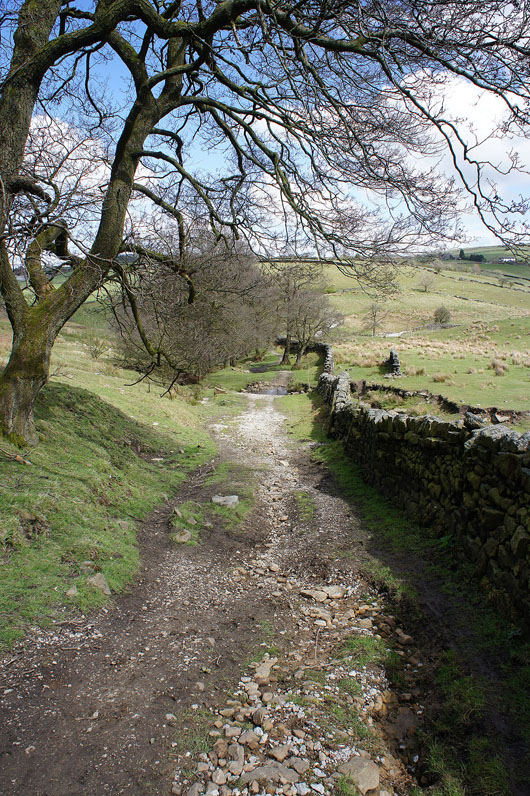
Have crossed the Colne road I'm now heading for Earl Crag on the byway of Close Lane..
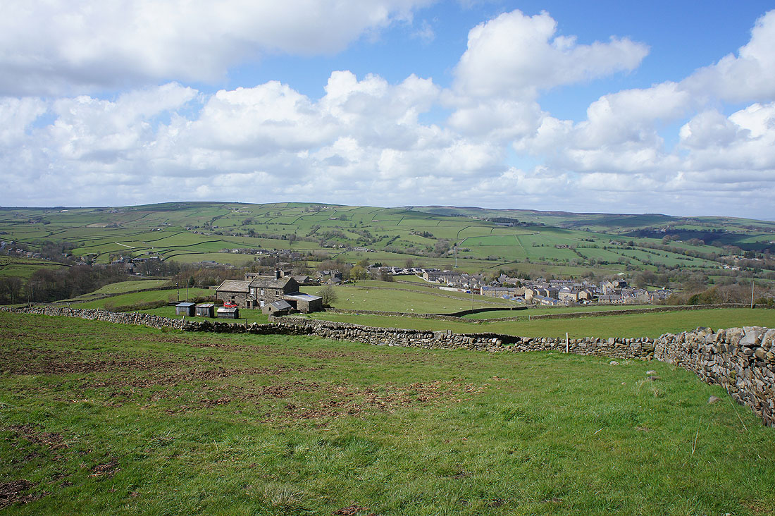
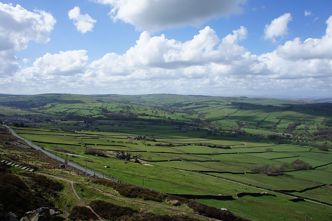
The hills around Lothersdale come into view as I get onto the hillside that Earl Crag is a part of
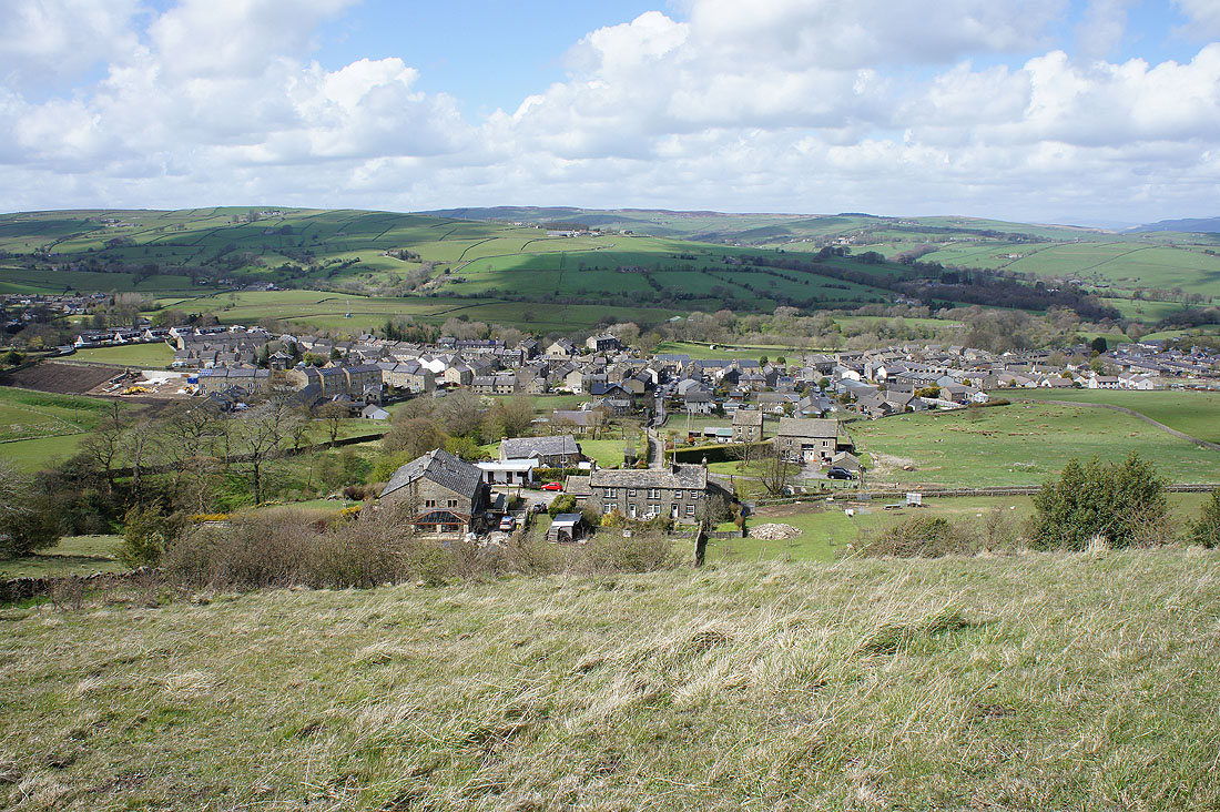
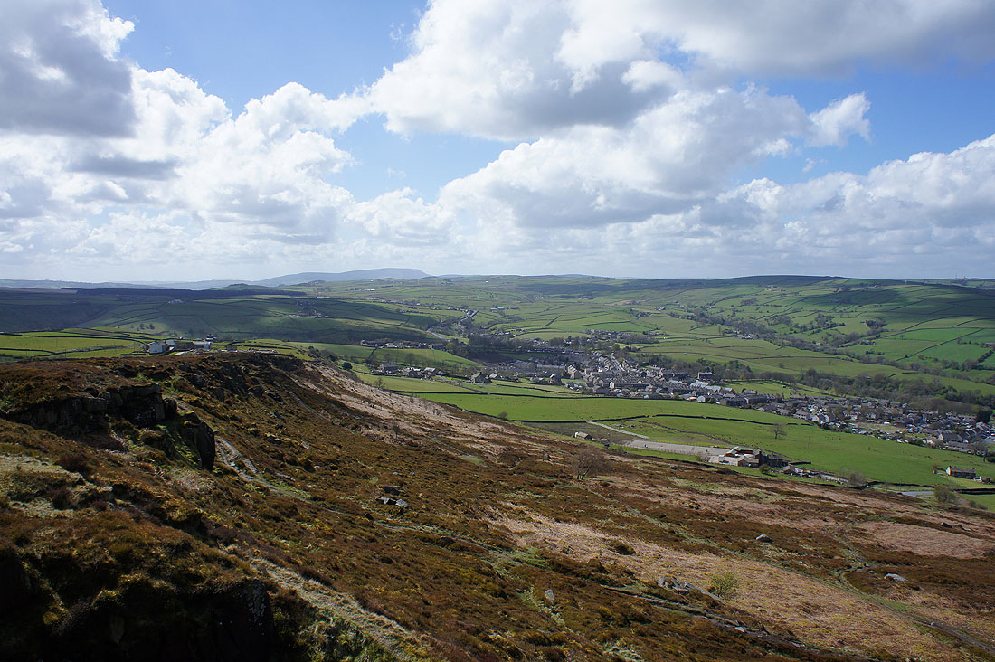
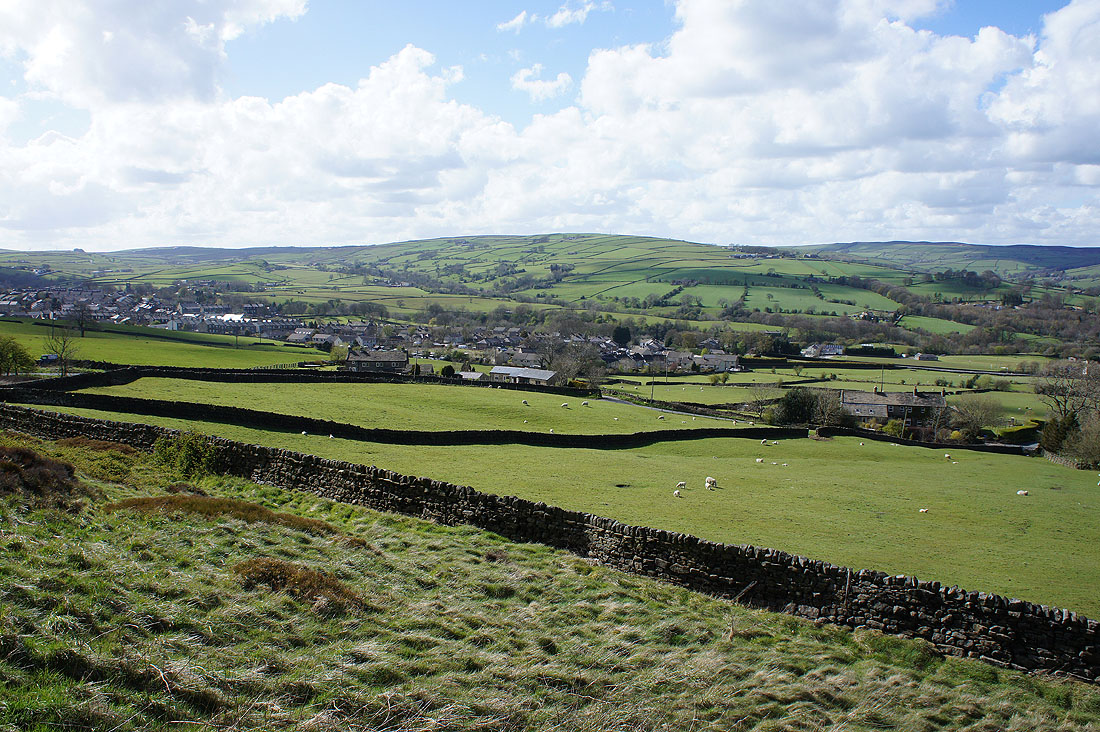
The village of Cowling below
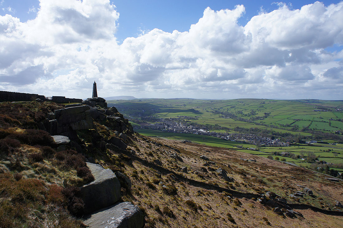
Pendle Hill in the distance as I reach the start of Earl Crag
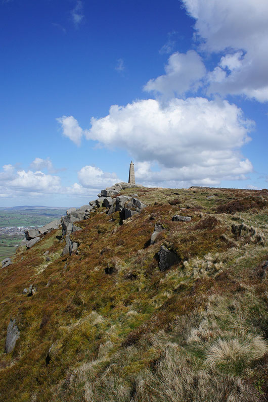
Wainman's Pinnacle now in sight
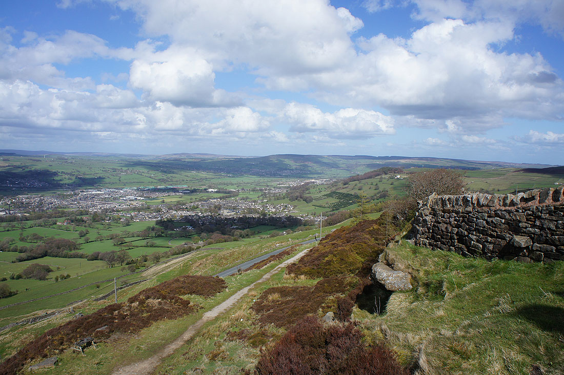
Cross Hills round the corner
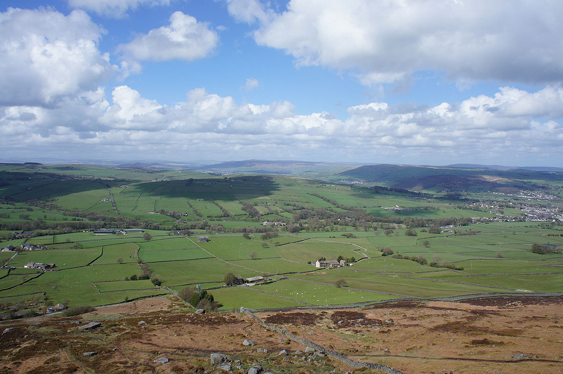
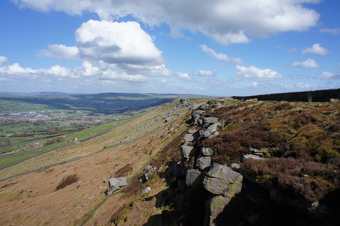
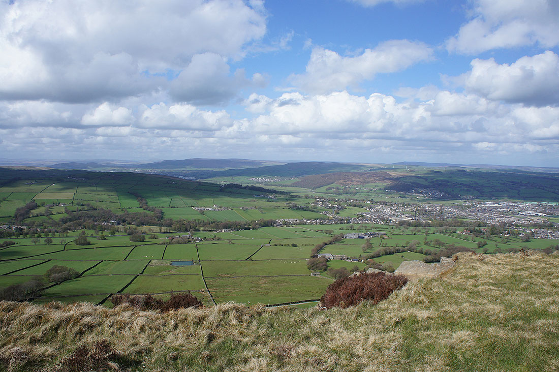
Looking across the valley of Holme Beck to the hill of Gib with the moors on the eastern side of Airedale; Barden Moor, Skipton Moor and Farnhill Moor, on the right
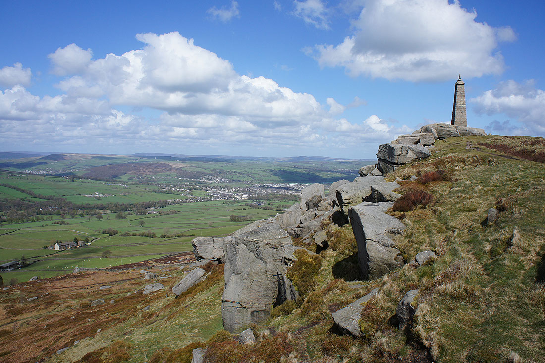
Wainman's Pinnacle backed by Pendle Hill and Cowling
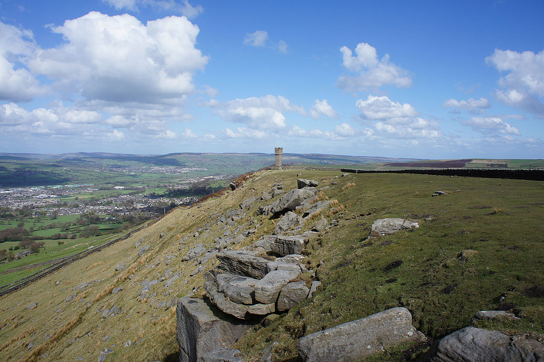
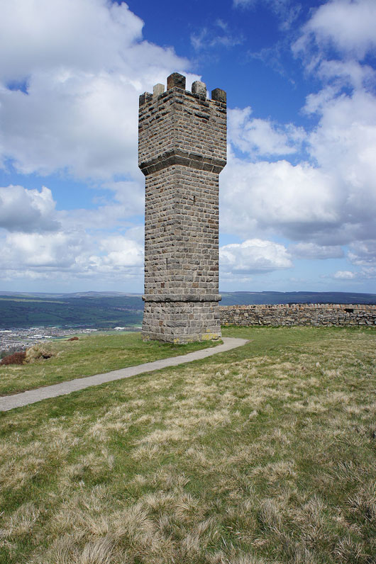
Certainly modest crags but they provide a nice walk with good views as I follow them east to Lund's Tower...
There are steps to the top but it was very windy today and I would have had to take my rucksack off so that I could get up them
From here I can make out Flasby Fell and Barden Moor beyond Skipton with Skipton Moor and Farnhill Moor on the right
The hills around Lothersdale, including Pinhaw Beacon in the centre of the photo. I was there on Saturday.
Cross Hills, Sutton-in-Craven and Steeton with Rivock Moor in the distance
Heading down to Cowling
Looking back up to Earl Crag
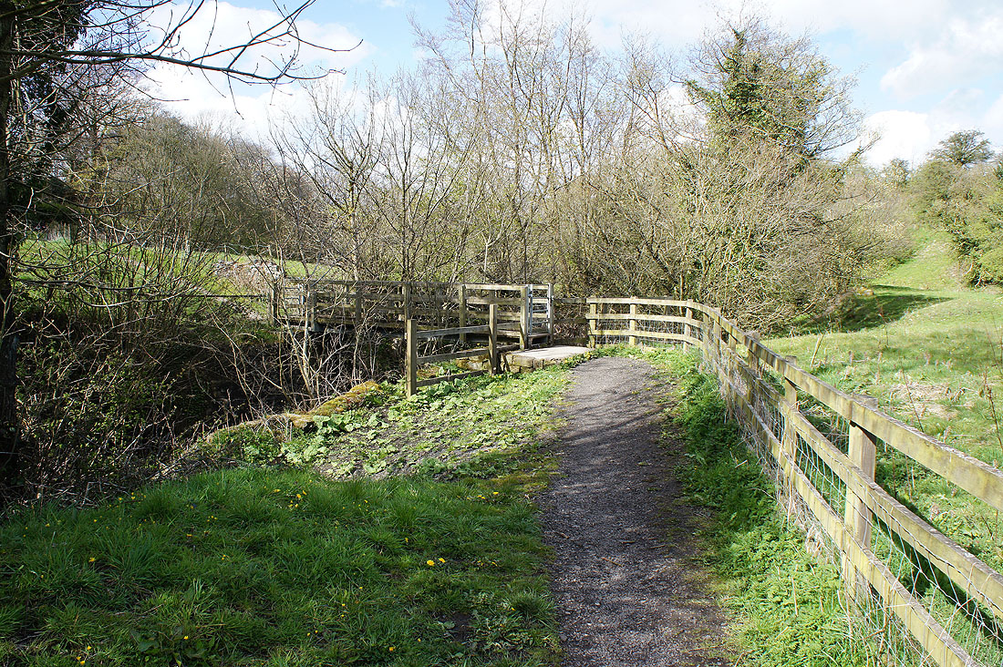
Across the footbridge over Ickornshaw Beck
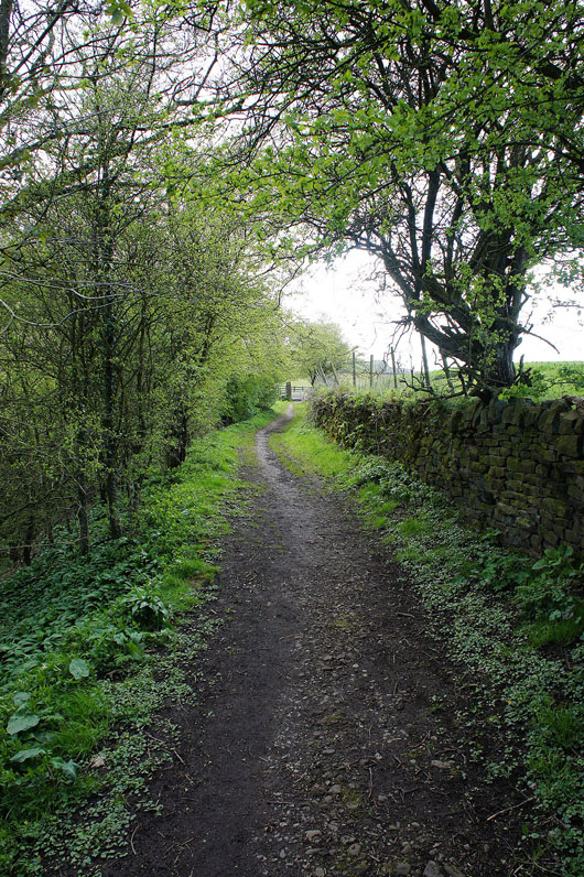
and then on Cinder Hill Lane back to Ickornshaw
