2nd November 2014 - Millstone Edge
Walk Details
Distance walked: 5.2 miles
Total ascent: 826 ft
OS map used: OL1 - The Peak District, Dark Peak area & OL21 - South Pennines
Time taken: 2.5 hrs
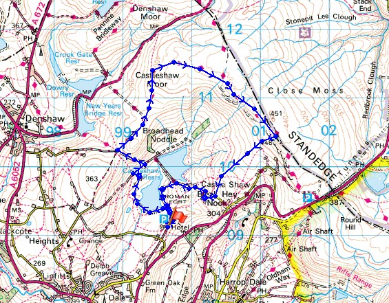
Route description: Castleshaw-Castleshaw Lower Reservoir-Wood Farm-Low Gate Lane-Moor Lane-Castleshaw Moor-Northern Rotcher-Millstone Edge-Castleshaw
I hadn't made any plans for going somewhere today as I'd gotten my hill-walking fix yesterday but when it brightened up during the morning and a fine afternoon was in prospect I decided to head out and do this short walk. Distance wise it isn't far from where I live to Saddleworth though there is quite a bit of driving through built-up areas so it takes longer than expected. It was a great way to spend a few hours with the sunshine making the moorland scenery look its best.
From the car park at the Castleshaw Centre I took the footpath along the dam of the lower reservoir and up to Wood Farm. My route then went briefly uphill and onto a track across the hillside towards the upper reservoir. Part way there I turned left and made my way uphill on the track of Low Gate Lane. At the crossroads at its top I turned right onto the track of Moor Lane. When the track ended a clear path continued on up Castleshaw Moor and around to meet the Pennine Way at Northern Rotcher. I then followed the moor top path to the trig point on Millstone Edge. To get back down I descended along the edge of access land to reach the minor road below for a walk back to the car park.
(P.S. With hindsight I should have stayed on the public footpaths to head back down. There were a couple of places when descending access land that were very marshy and not at all pleasant).
Total ascent: 826 ft
OS map used: OL1 - The Peak District, Dark Peak area & OL21 - South Pennines
Time taken: 2.5 hrs
Route description: Castleshaw-Castleshaw Lower Reservoir-Wood Farm-Low Gate Lane-Moor Lane-Castleshaw Moor-Northern Rotcher-Millstone Edge-Castleshaw
I hadn't made any plans for going somewhere today as I'd gotten my hill-walking fix yesterday but when it brightened up during the morning and a fine afternoon was in prospect I decided to head out and do this short walk. Distance wise it isn't far from where I live to Saddleworth though there is quite a bit of driving through built-up areas so it takes longer than expected. It was a great way to spend a few hours with the sunshine making the moorland scenery look its best.
From the car park at the Castleshaw Centre I took the footpath along the dam of the lower reservoir and up to Wood Farm. My route then went briefly uphill and onto a track across the hillside towards the upper reservoir. Part way there I turned left and made my way uphill on the track of Low Gate Lane. At the crossroads at its top I turned right onto the track of Moor Lane. When the track ended a clear path continued on up Castleshaw Moor and around to meet the Pennine Way at Northern Rotcher. I then followed the moor top path to the trig point on Millstone Edge. To get back down I descended along the edge of access land to reach the minor road below for a walk back to the car park.
(P.S. With hindsight I should have stayed on the public footpaths to head back down. There were a couple of places when descending access land that were very marshy and not at all pleasant).
Route map
© Crown copyright. All rights reserved. License number PU 100034184.
I can just about make out the rocks on Millstone Edge from the car park at the Castleshaw Centre
There's a better view from the dam of Castleshaw Lower Reservoir. An angler tries his luck from its shore.
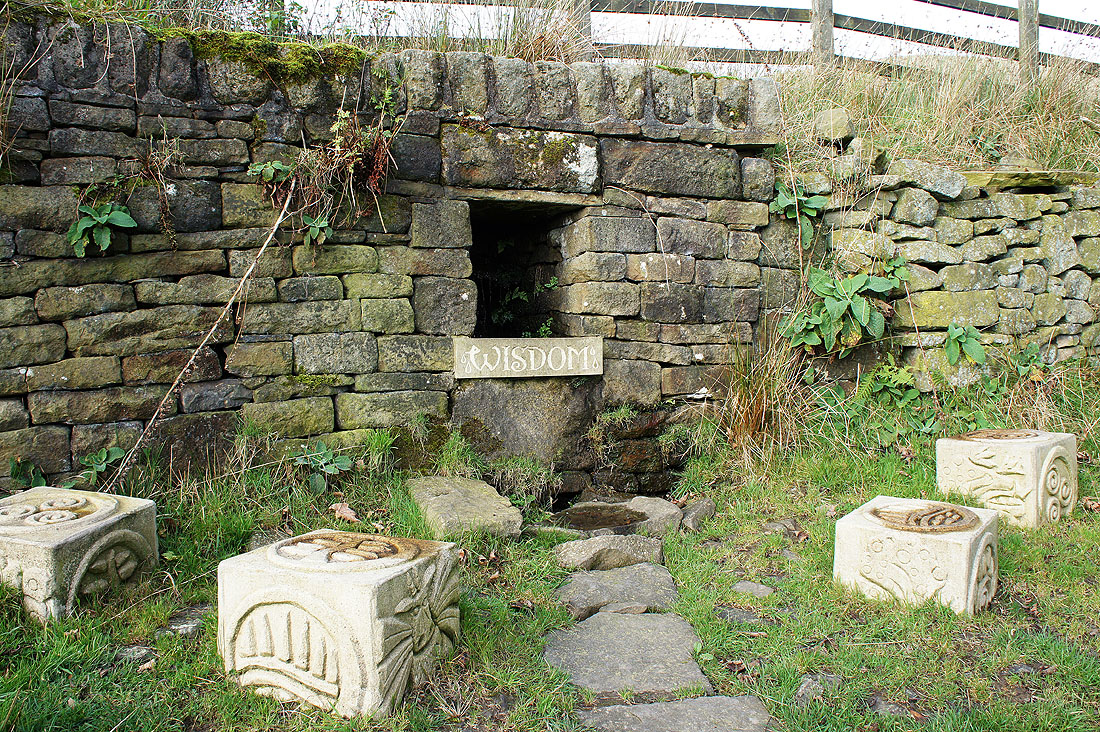
I found this piece of artwork next to the path just past Wood Farm which I think is part of the Marsden Heritage Trail (though I stand to be corrected). Perhaps if I come here every day some might rub off.
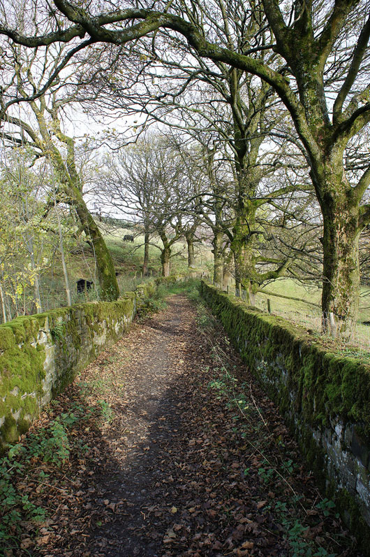
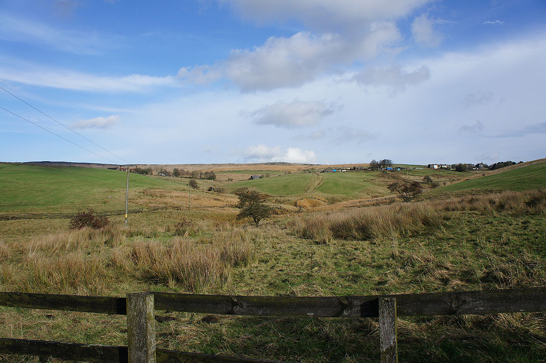
I liked this tree-lined track with moss covered walls
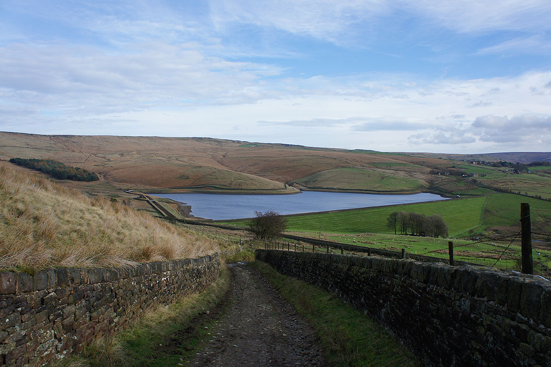
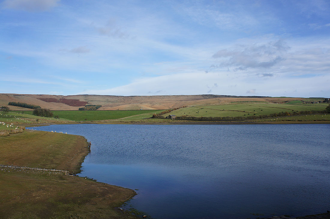
Castleshaw Upper Reservoir as I look back down Low Gate Lane
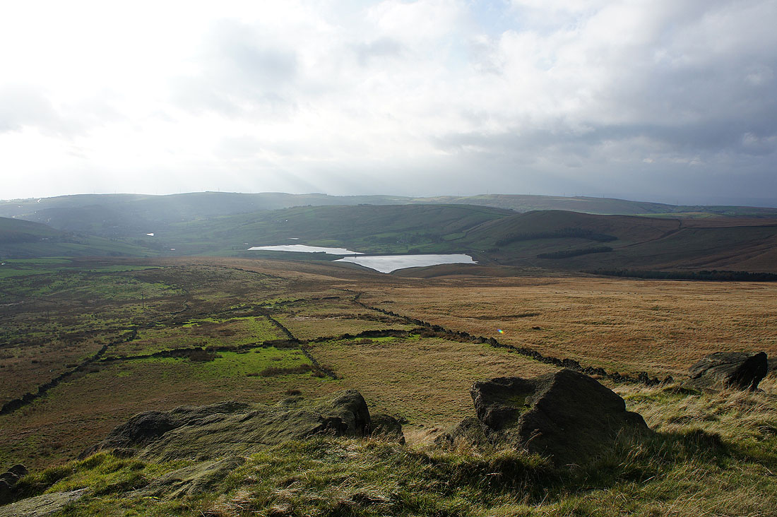
and as I reach its top and take Moor Lane I can look into the neighbouring valley, that of the infant River Tame. There are three reservoirs, New Years Bridge Reservoir is the lowest then Dowry Reservoir and you might be able to make out a bit of Crook Gate Reservoir, the highest.
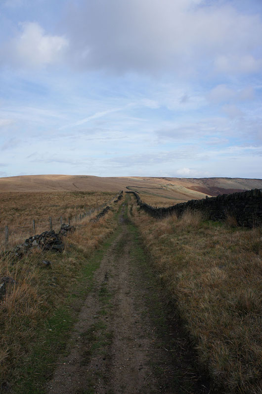
The track of Moor Lane will take me up onto Castleshaw Moor
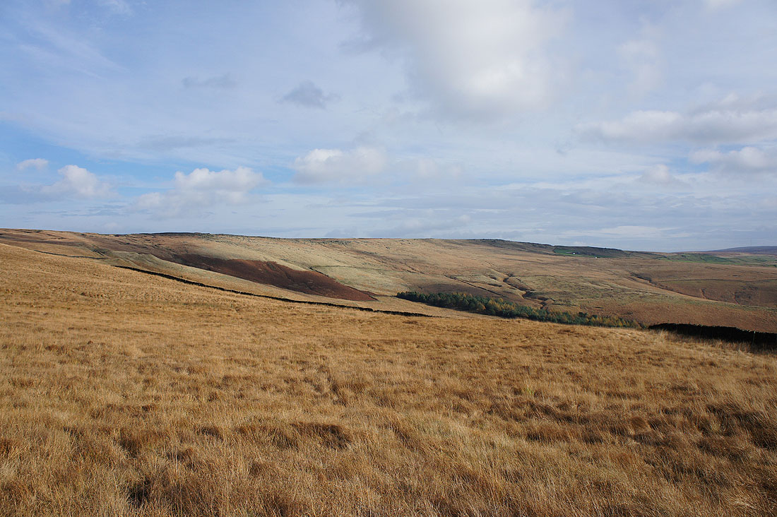
There's a fantastic light on the moors looking across to Millstone Edge
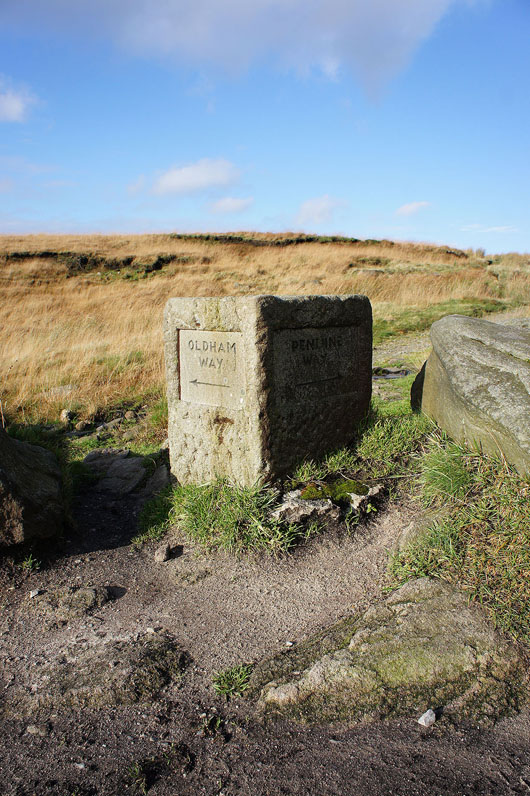
At this trail marker I join the Pennine Way. Both trails run across the top of Millstone Edge.
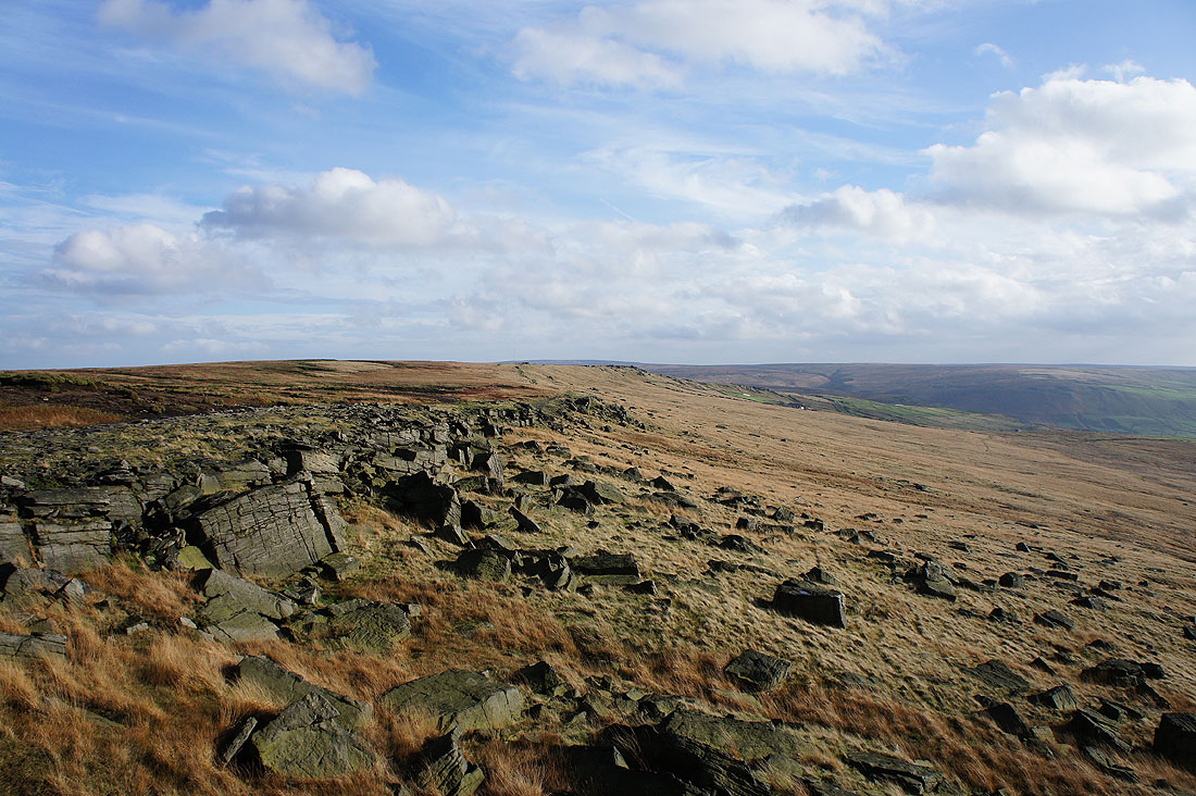
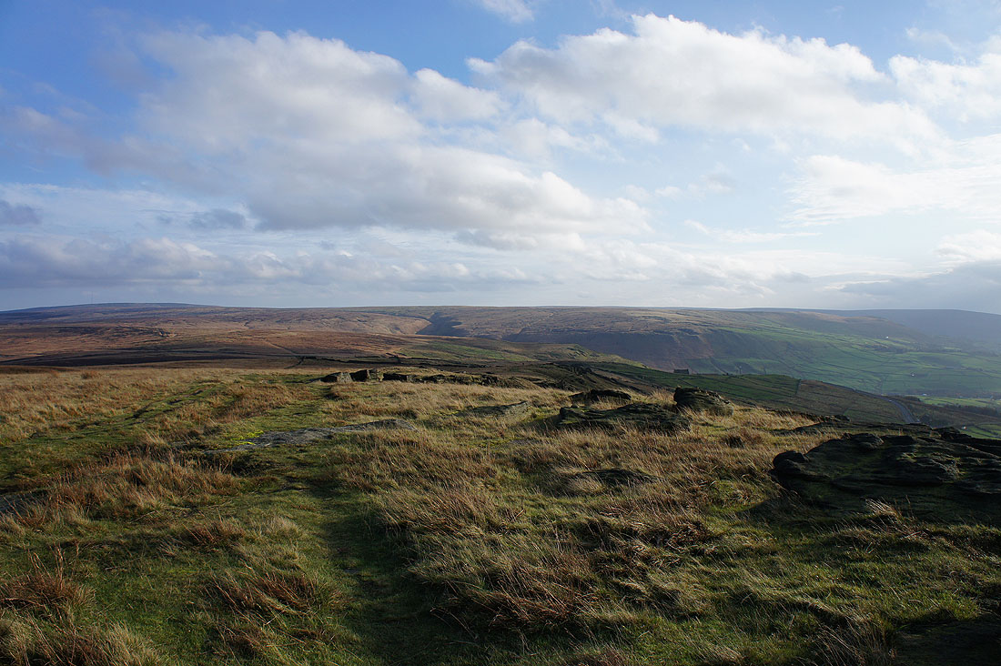
There's a great view along Millstone Edge from Northern Rotcher especially with the colours of the moorland grass
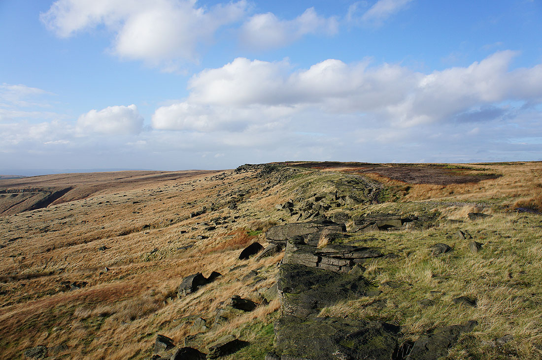
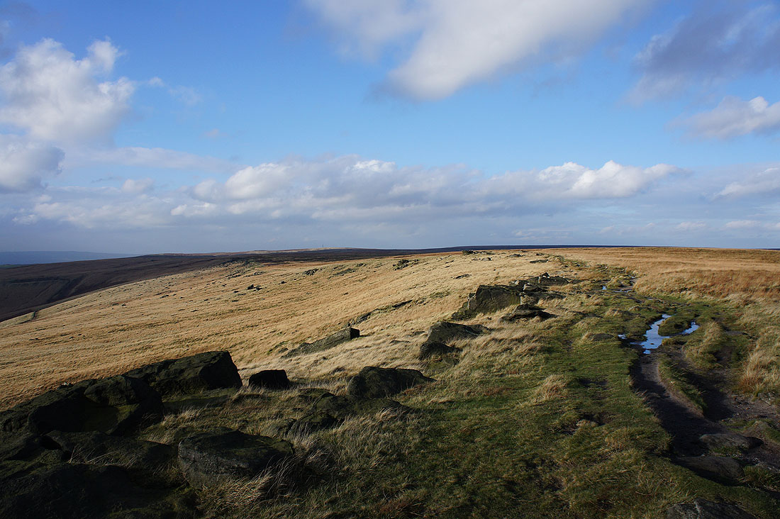
and looking back to Northern Rotcher as I follow the edge south
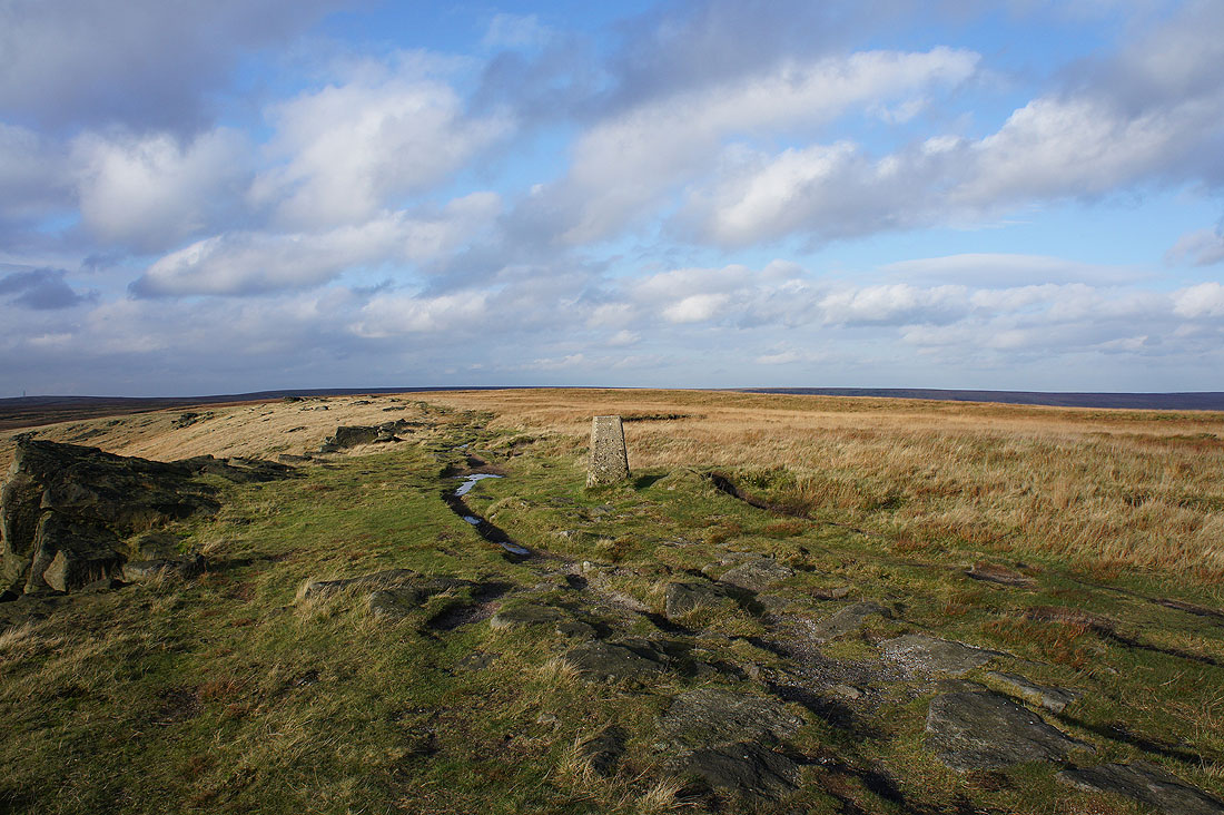
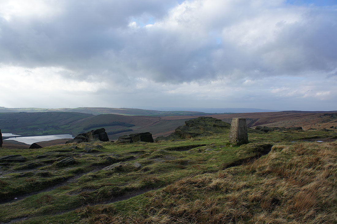
At the trig point on Millstone Edge. Time to take in the views.
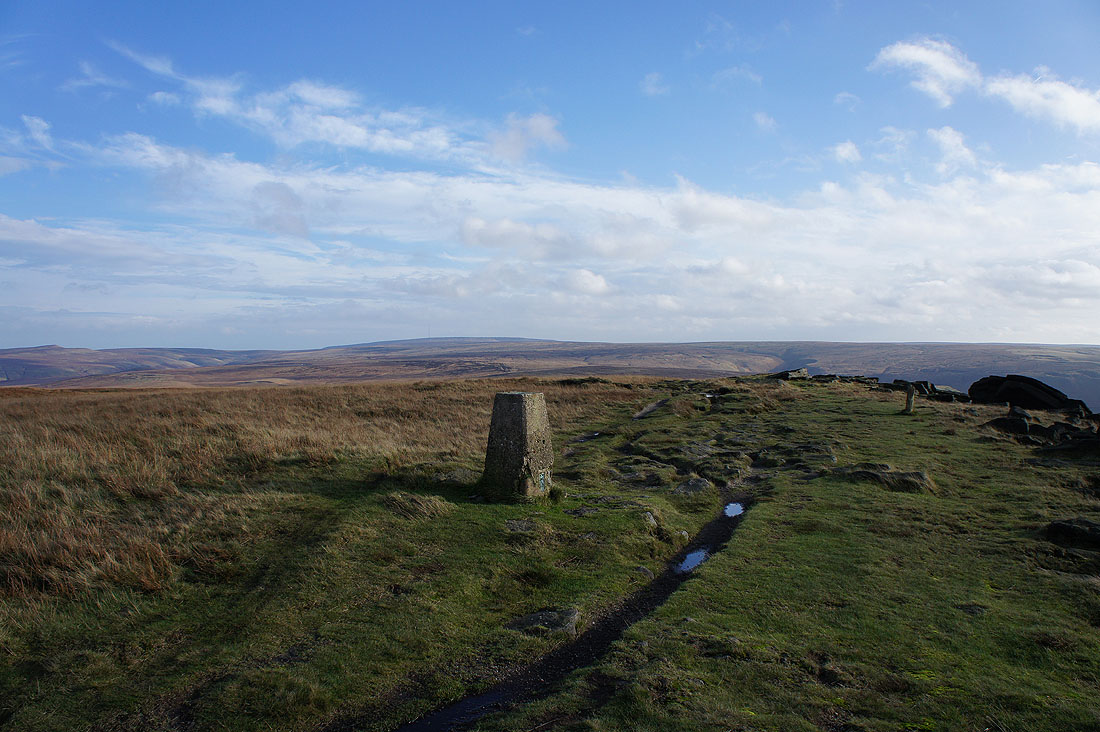
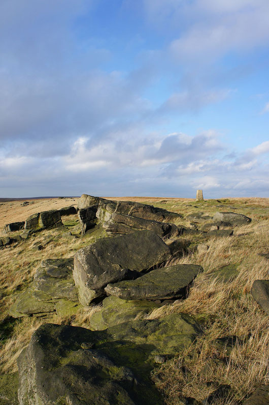
Looking north along Millstone Edge
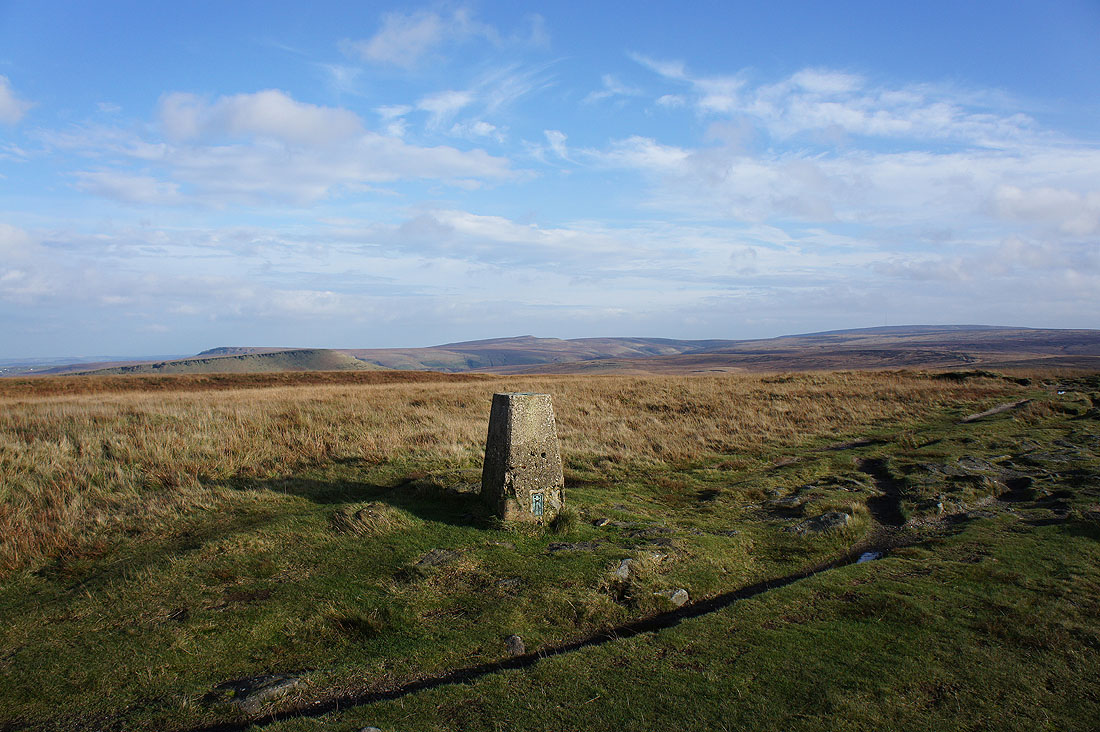
To the east, Pule Hill with its gritstone edge and Meltham Moor, it's summit West Nab above the trig point
The broad swell of Black Hill to the southeast
and the Saddleworth Moors to the south
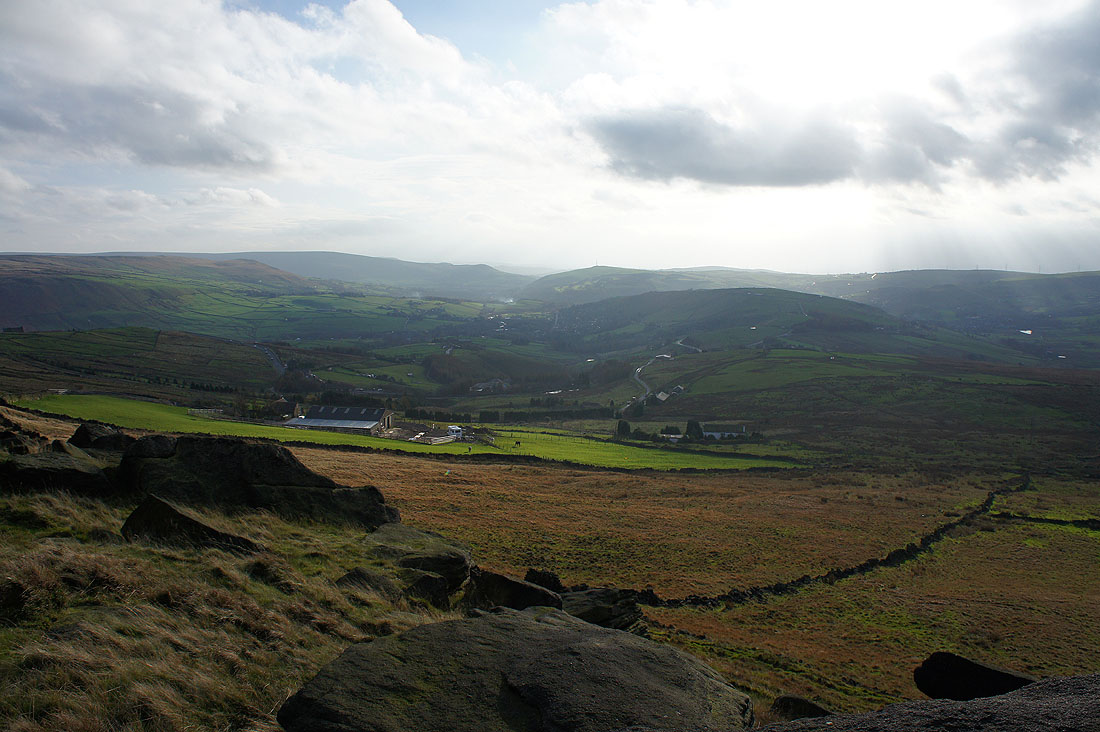
The villages of Saddleworth below in the folds of the hills
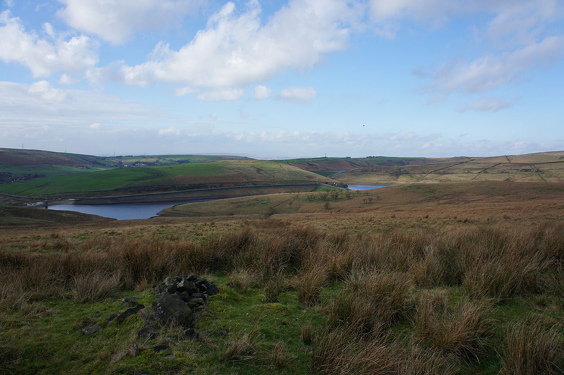
The Castleshaw Reservoirs
Threatening skies out to the west. I could just about make out the outline of Winter Hill. The best of the weather is definitely over so time to head down.
One last shot on Millstone Edge